
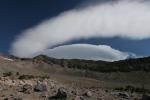
The Old Ski Bowl on Mount Shasta is an incredibly scenic trailhead and hike.
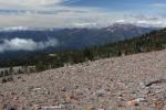
Mount Shasta really is one of the most remarkable hiking experiences in California, yet it generally remains under the radar as one of the state’s premier destinations. Not only is there the mountain itself, but the surrounding ranges and valleys all offer numerous excellent trails. However, if the only hiking in the area was on Mount Shasta, this would still be an exceptional place to explore. The great volcano boasts superlative views, deep canyons, glaciers, lush meadows, plunging waterfalls, ancient forests, rushing creeks and many other great features. It really does have everything you could want when hiking. There is even a great deal of fairly easy “off trail” trips hikers can take to amazing spots on the mountain that rarely see visitors.
This gallery is intended to highlight the sights hikers can enjoy when journeying on California’s greatest mountain.
Click to enlarge:
-
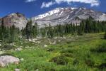
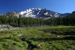
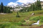
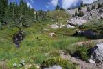
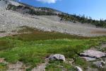
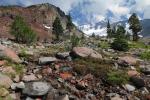
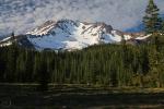
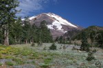
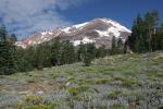
- South Gate Meadow

-
- South Gate Meadow
-
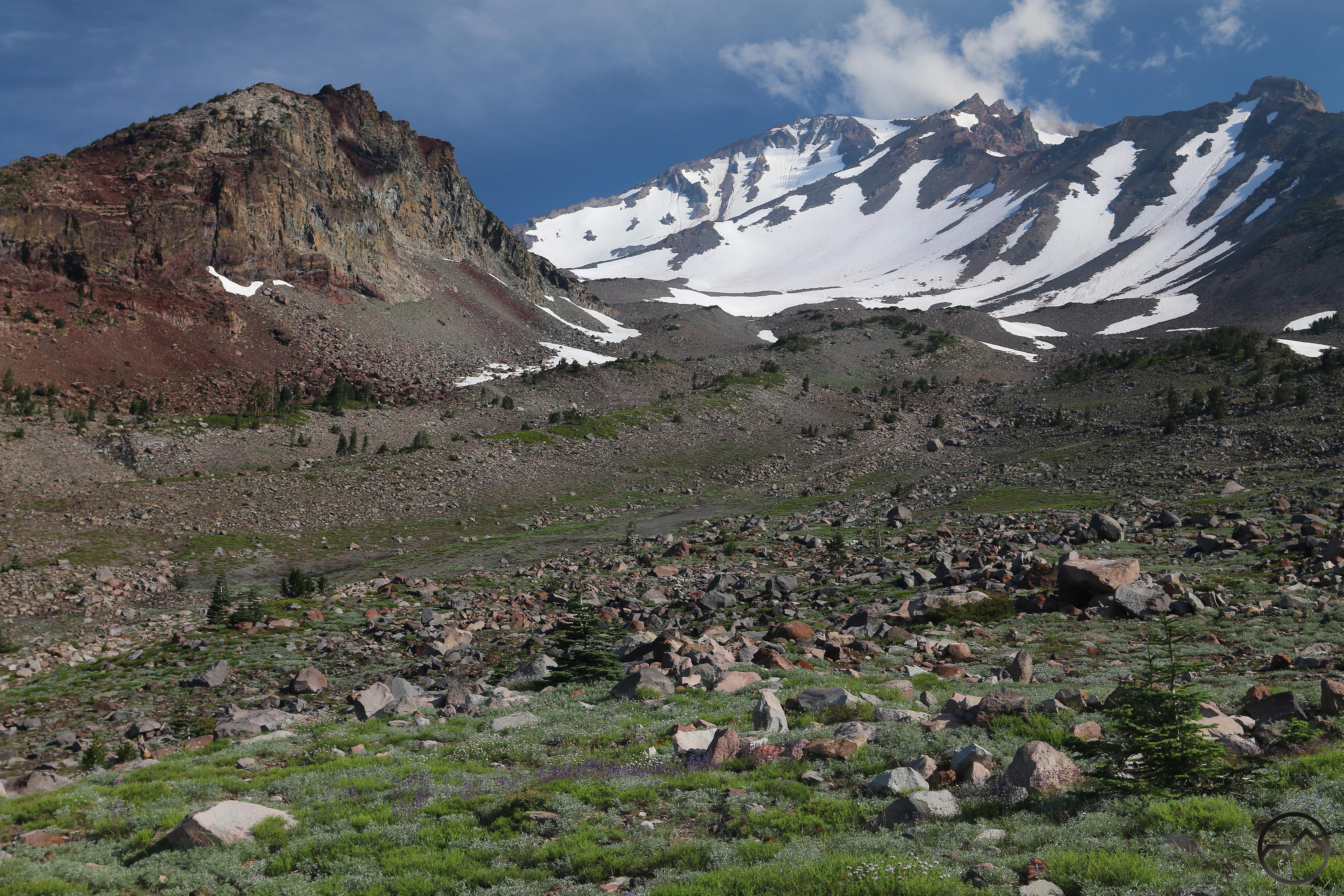
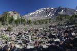
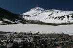
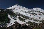
- Thumb Rock at the head of Mud Creek Canyon.
-
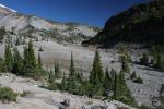
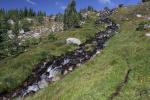
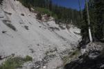
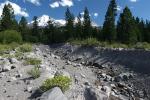
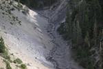
- Mud Creek Canyon
-
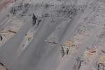
- Mud Creek Canyon
-
- Mud Creek Canyon
-
- Looking downstream toward the lower canyon.
-
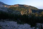
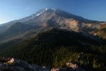
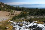
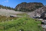
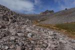
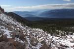
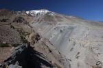
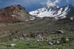
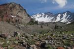
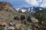
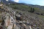
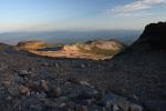
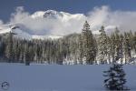
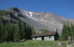
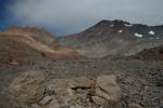
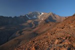
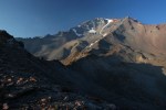
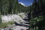
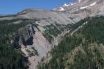
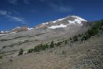
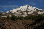
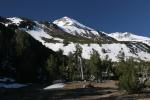
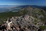
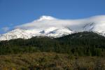
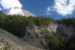
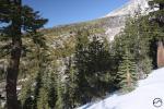
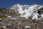
- Old Ski Bowl
-
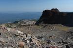
- Old Ski Bowl
-
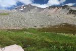
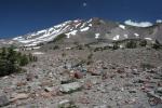
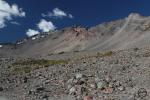
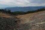
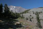
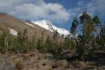
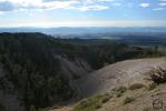
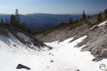
- Bunny Flat
-
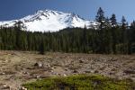
- Bunny Flat
-
- Bunny Flat
-
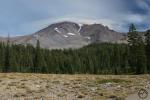
- Bunny Flat
-
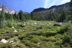
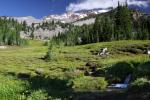
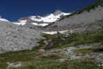
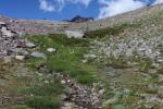
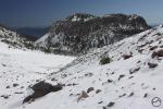
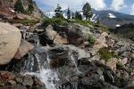
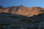
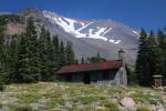
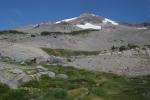
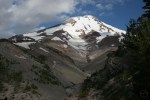
- Horse Camp
-
- Horse Camp
-
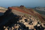
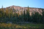
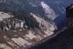
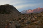
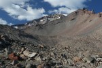
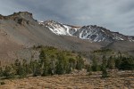
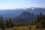
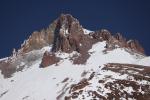
- Green Butte Ridge
-
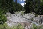
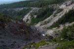
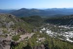
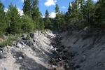
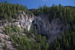
- Lower Mud Creek Canyon
-
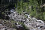
- Lower Mud Creek Canyon
-
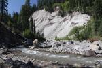
- Lower Mud Creek Canyon
-
- Lower Mud Creek Canyon
-

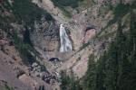
- The lowest of the large waterfalls on Mud Creek Canyon.
-
- Mount Shasta peeks out above the lowest section of Mud Creek Canyon.
-
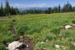
- Clear Creek
-

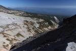
- The view from the east side across the widest section of Mud Creek Canyon.
-
- A look up above Mud Creek Falls into the middle portion of Mud Creek Canyon.
-
- Mud Creek Falls
-

- The confluence of Mud and Clear Creeks.
-
- Clear Creek
-
- Clear Creek
-
- Clear Creek
-
- Clear Creek
-
- Clear Creek
-
- Brewer Creek
-
- Brewer Creek
-

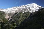
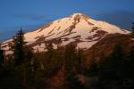
- Mount Shasta and Ash Creek Falls.
-
- A view toward the summit of Mount Shasta, through the upper section of Ash Creek Canyon. Note the Wintun Glacier at the head of the canyon.
-
- The classic V-shaped lower section of Ash Creek Canyon.
-
- North Gate
-
- North Gate
-
- North Gate
-
- North Gate
-
- North Gate
-
- North Gate
-
- Whitney Falls
-
- Whitney Falls
-
- Whitney Falls
-
- Whitney Creek flows through the isolated and difficult-to-reach depths of Whitney Creek Canyon.
-
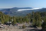
- The Shasta Valley spreads out to the north of Whitney Creek Canyon.
-
- A closer view of Shastina and Whitney Falls
-

- The summit of Mount Shasta and the broad north face of Shastina are seen above Whitney Falls and the head of Whitney Creek Canyon.
-
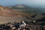
- Black Butte and Mount Eddy seen from Diller Canyon
-
- The view north, across the canyon from the south rim.
-
- Looking downcanyon, toward China Mountain, highpoint of the Scott Mountains.
-
- A classic view up Diller Canyon
-
- Diller Canyon

Stunning and can’t wait to return some day soon I hope
This is really gorgeous. Hope to get there!
Thank you Bubba for this wonderful Post.
Pingback: Sometimes The Mountain Just Seems Really Big… | Hike Mt. Shasta
Pingback: Mount Shasta Telephoto Gallery | Hike Mt. Shasta