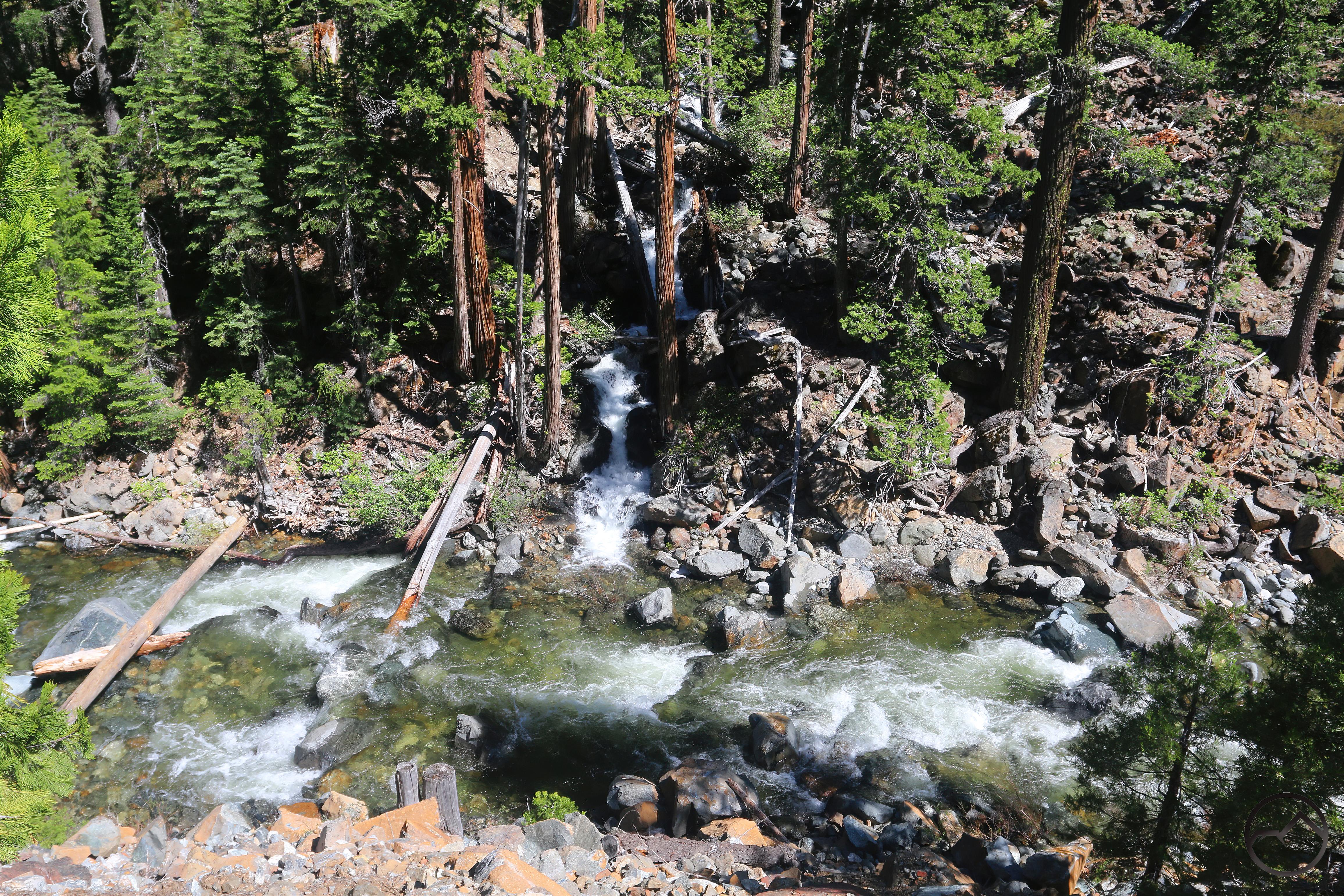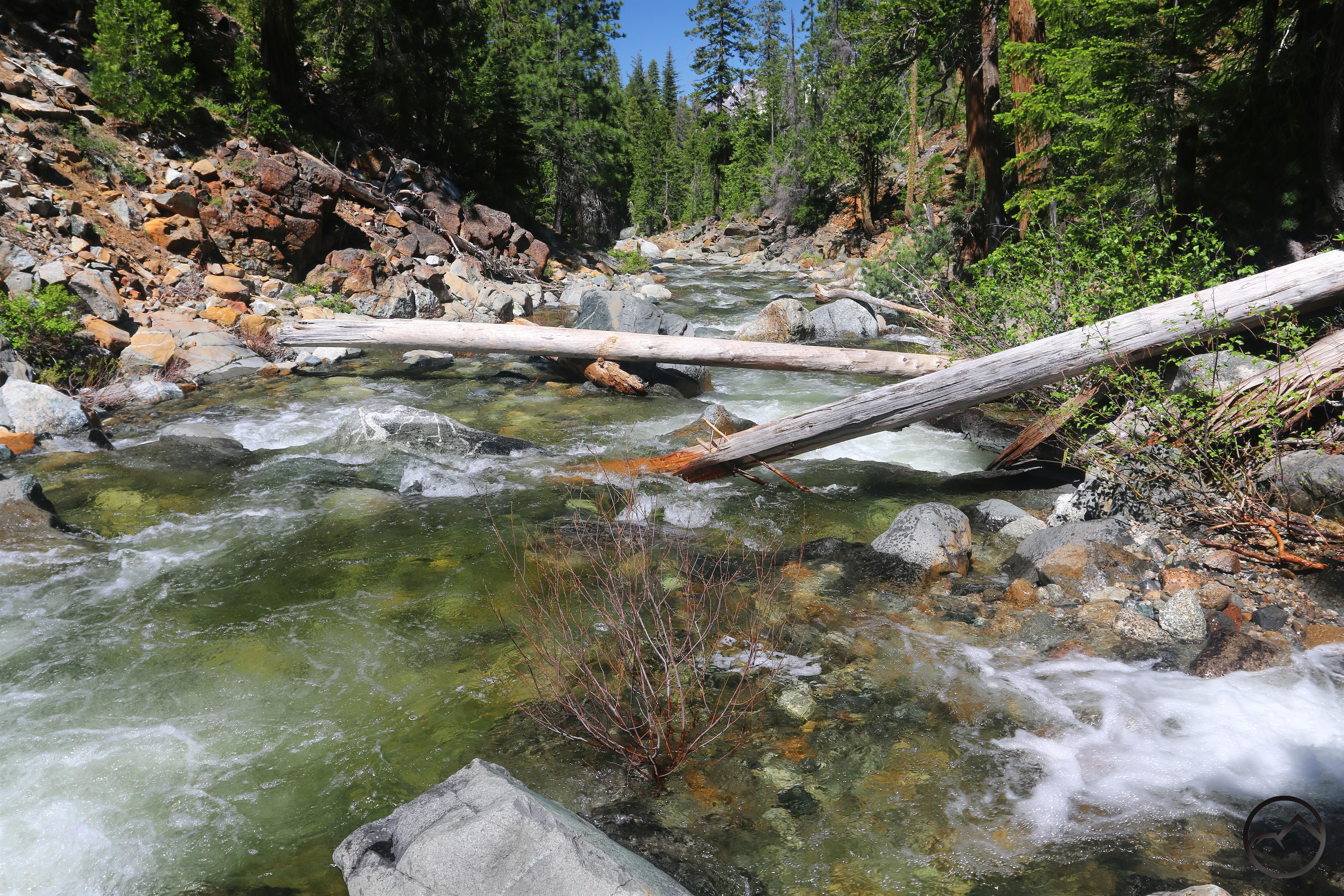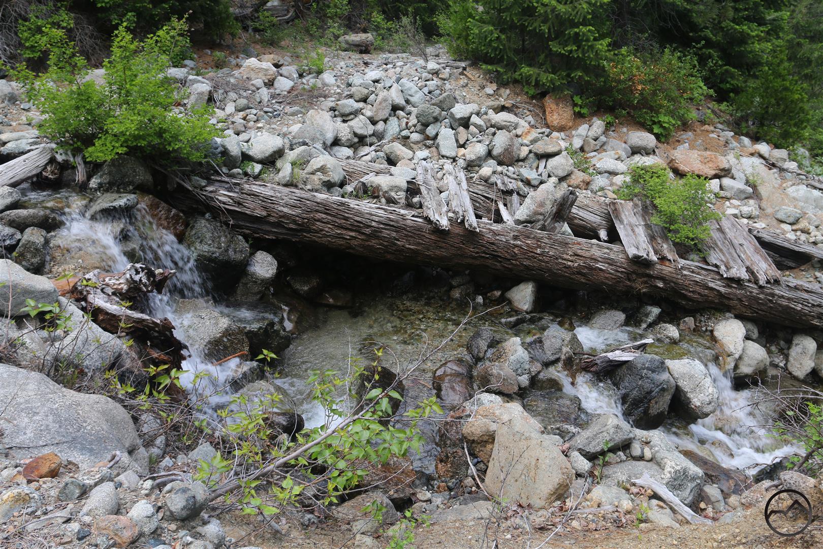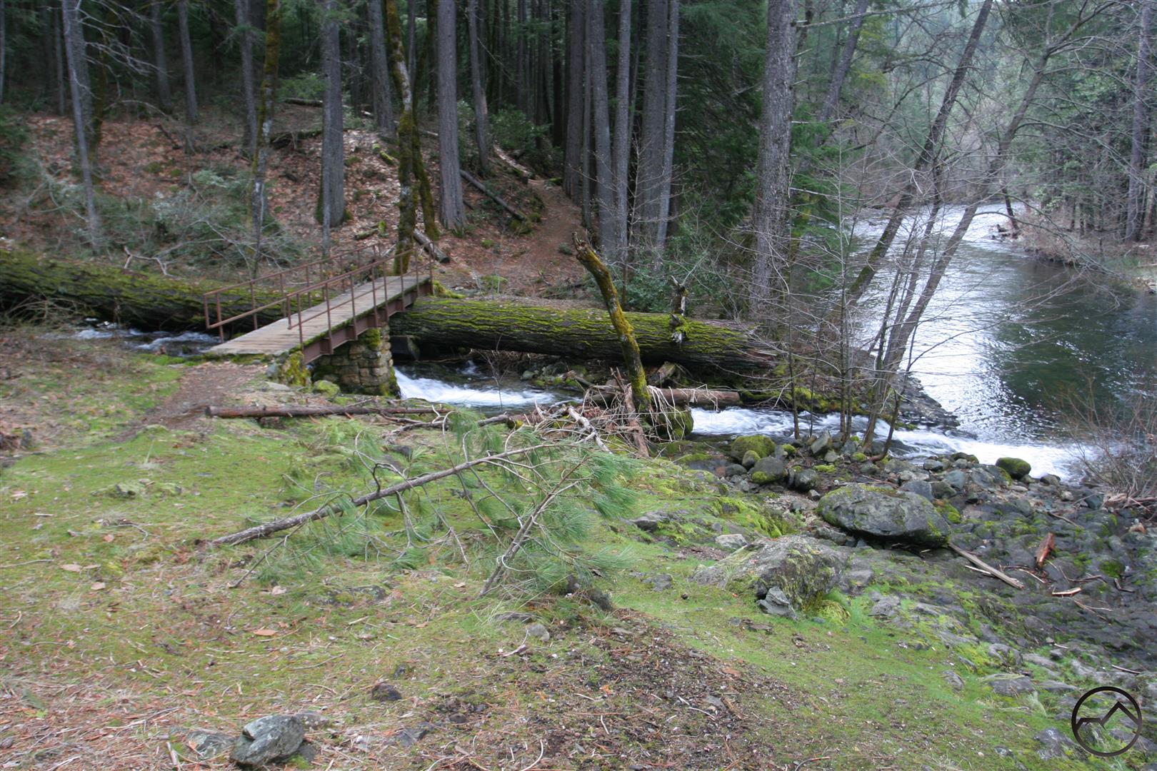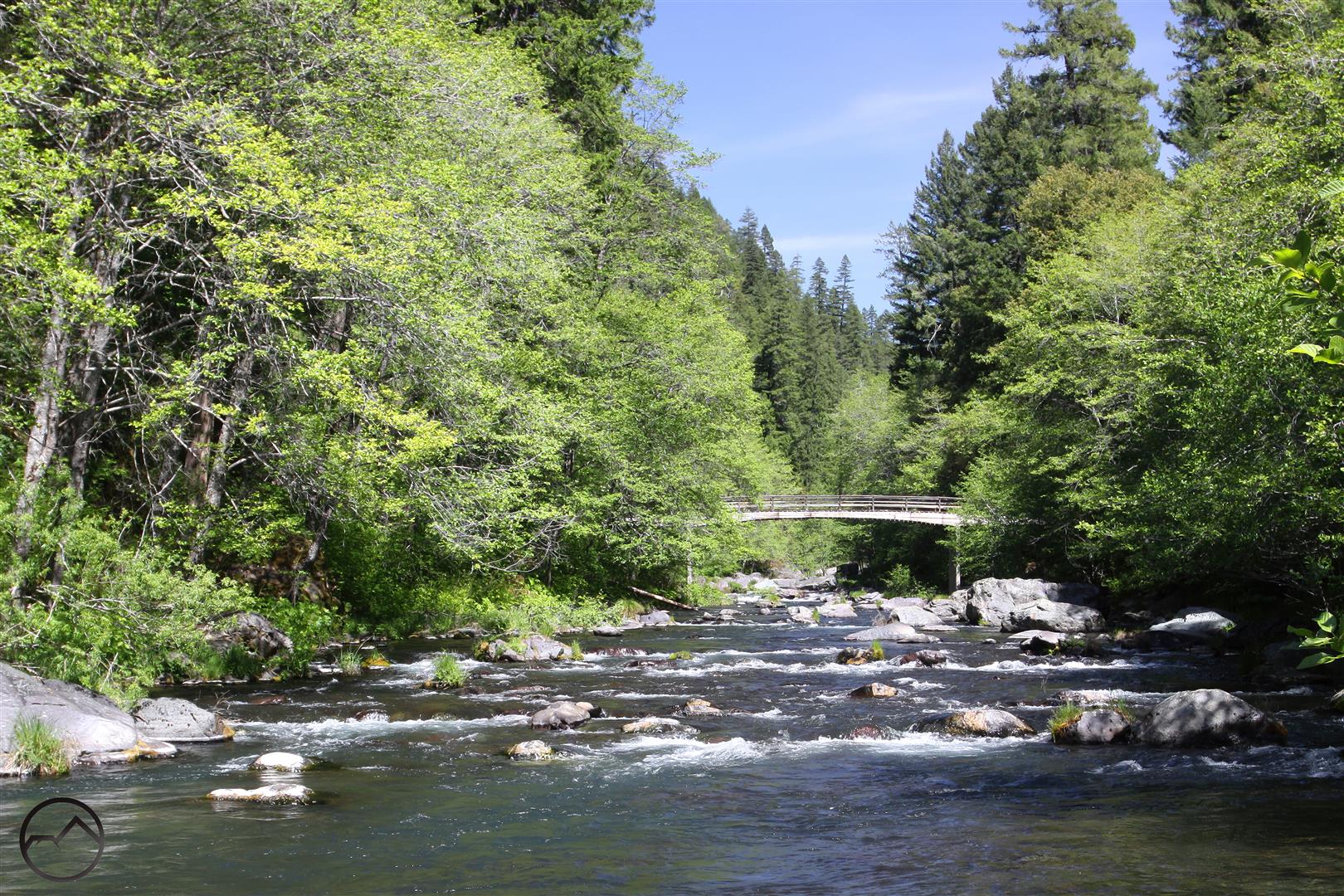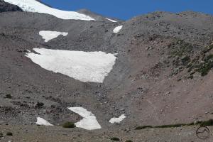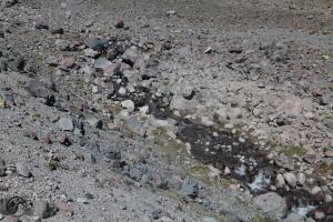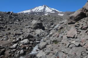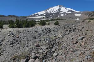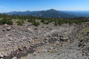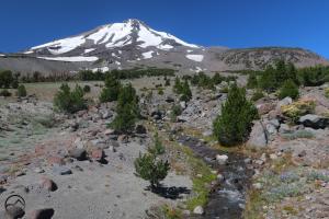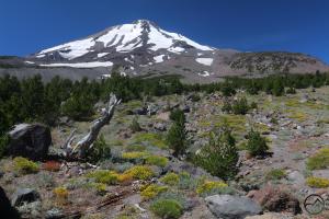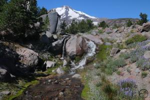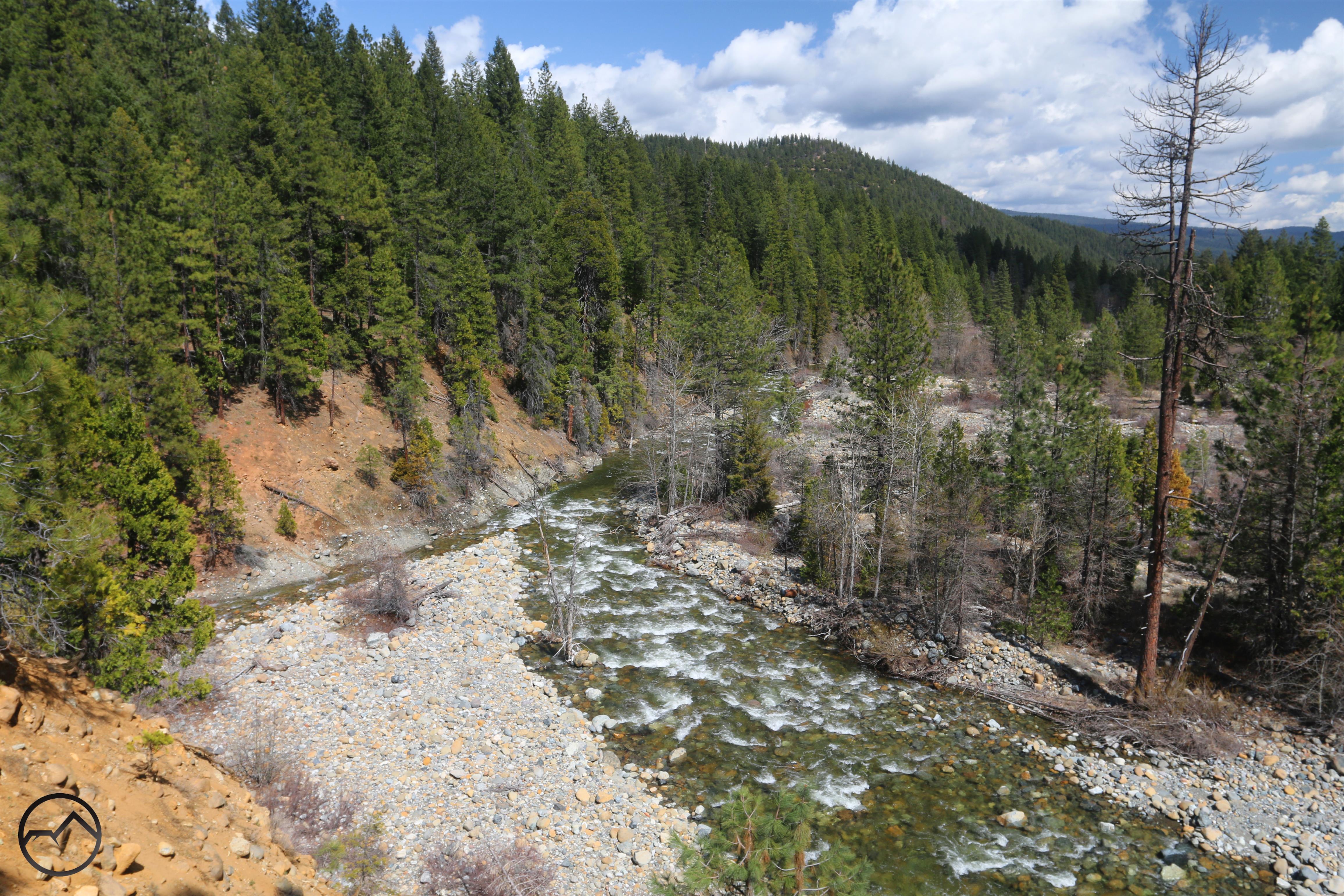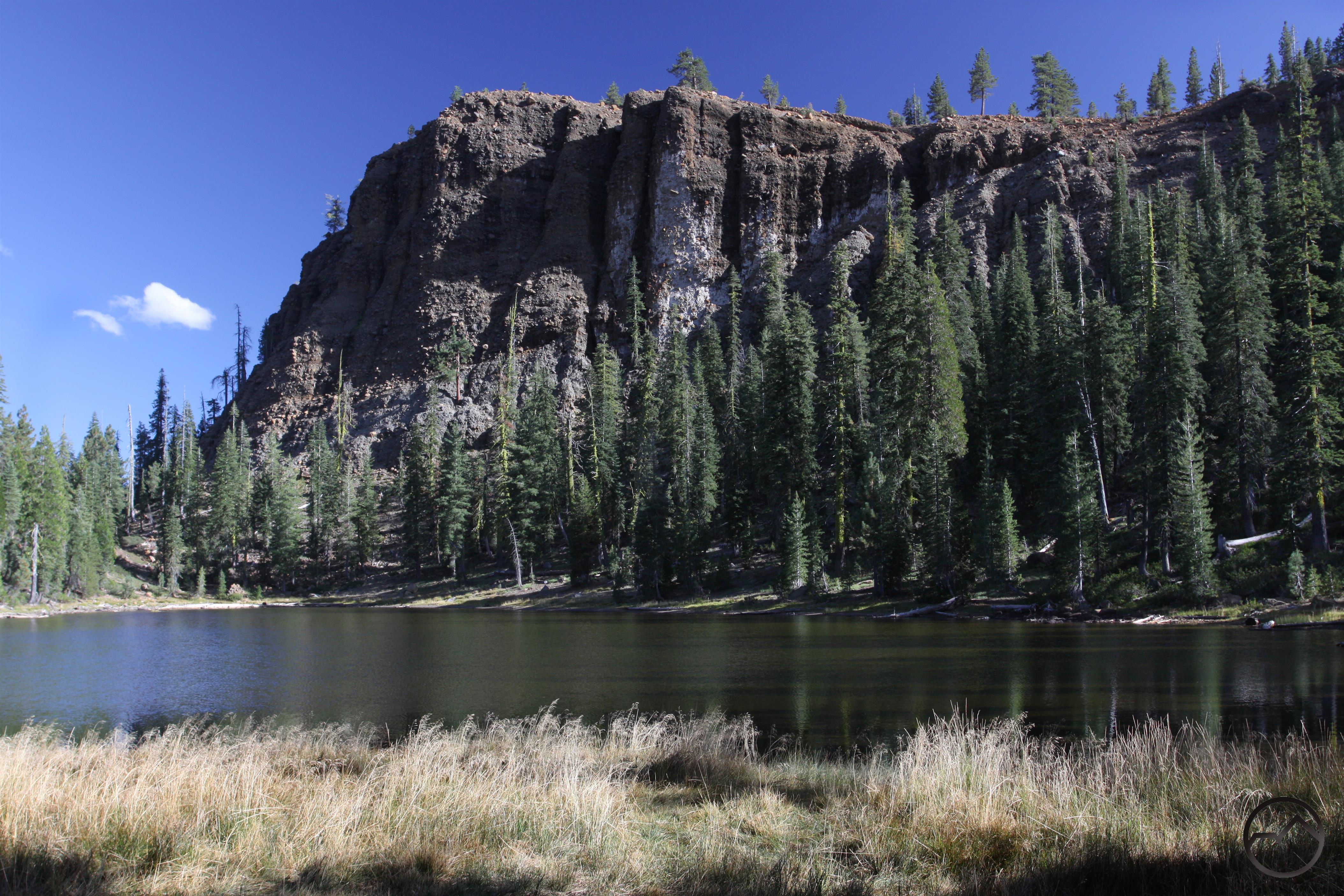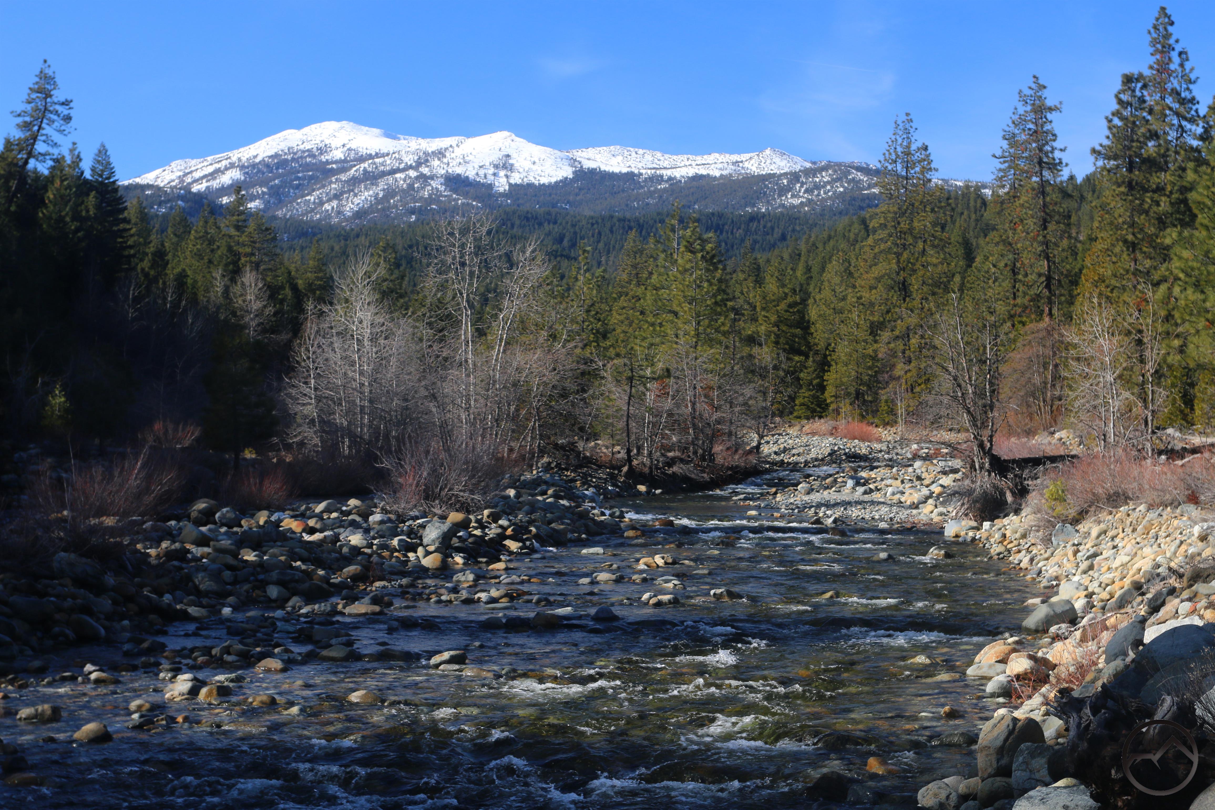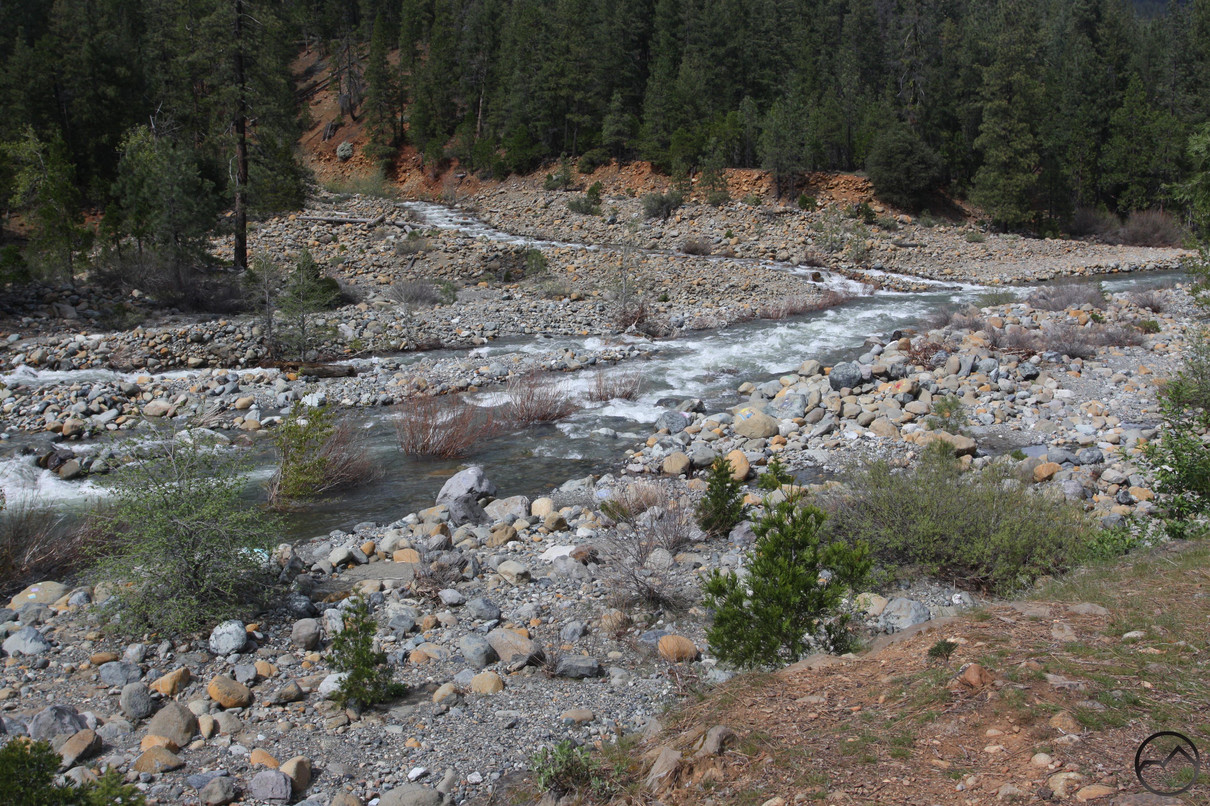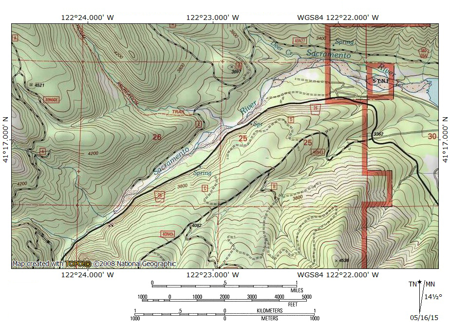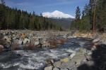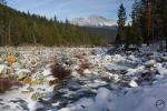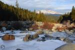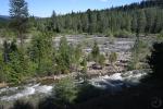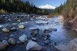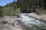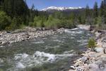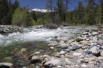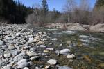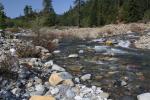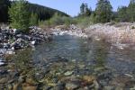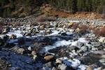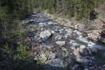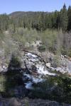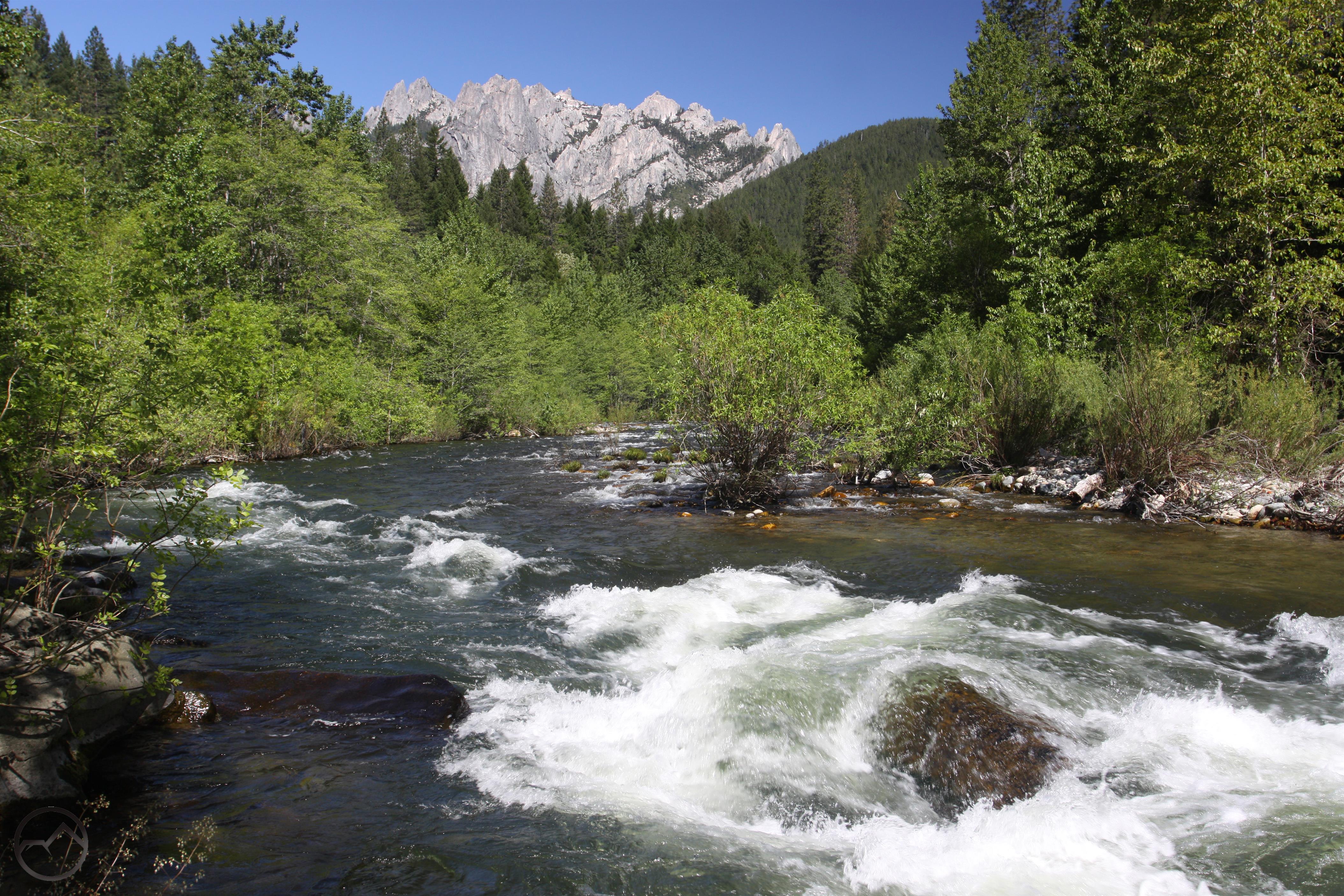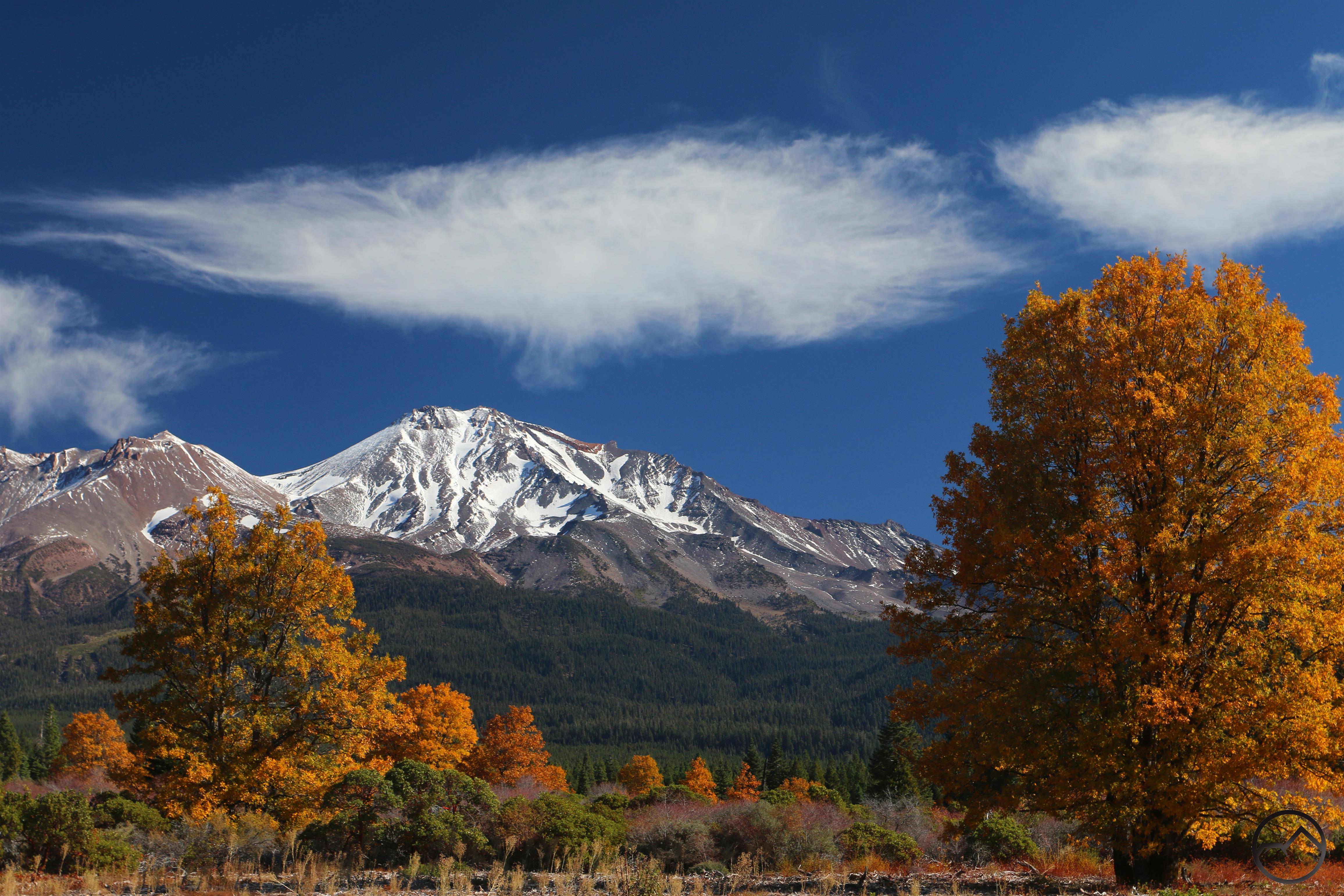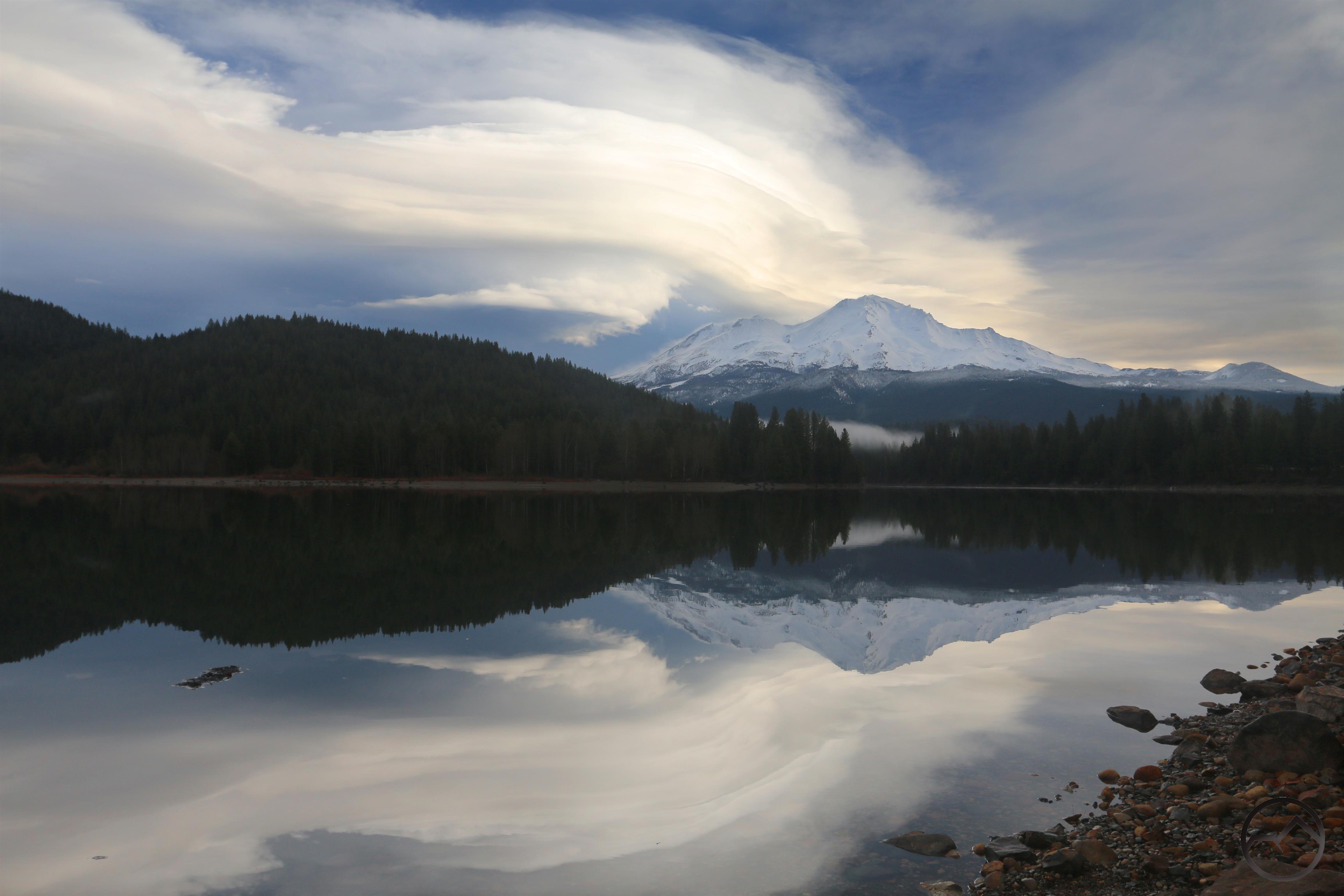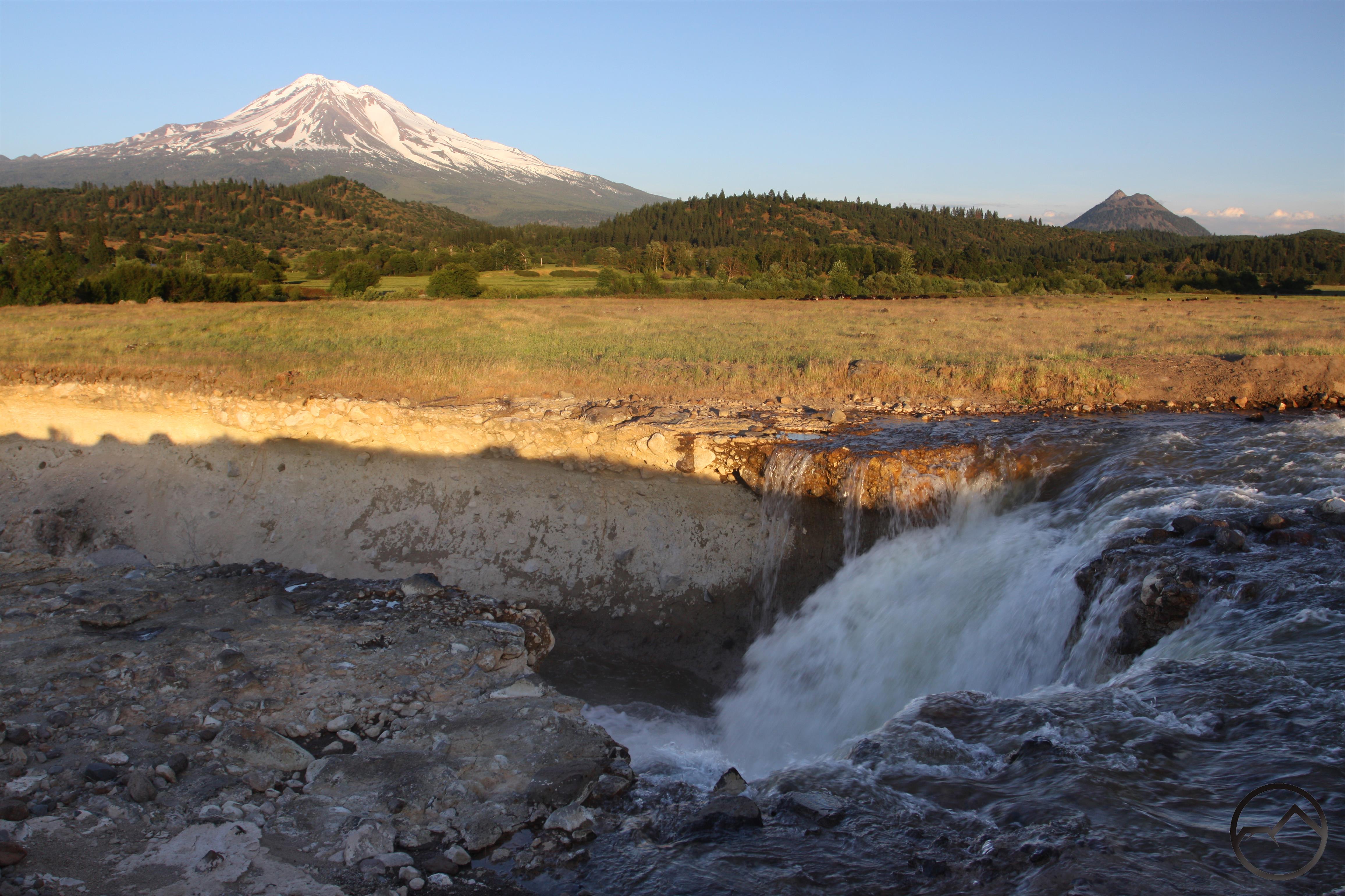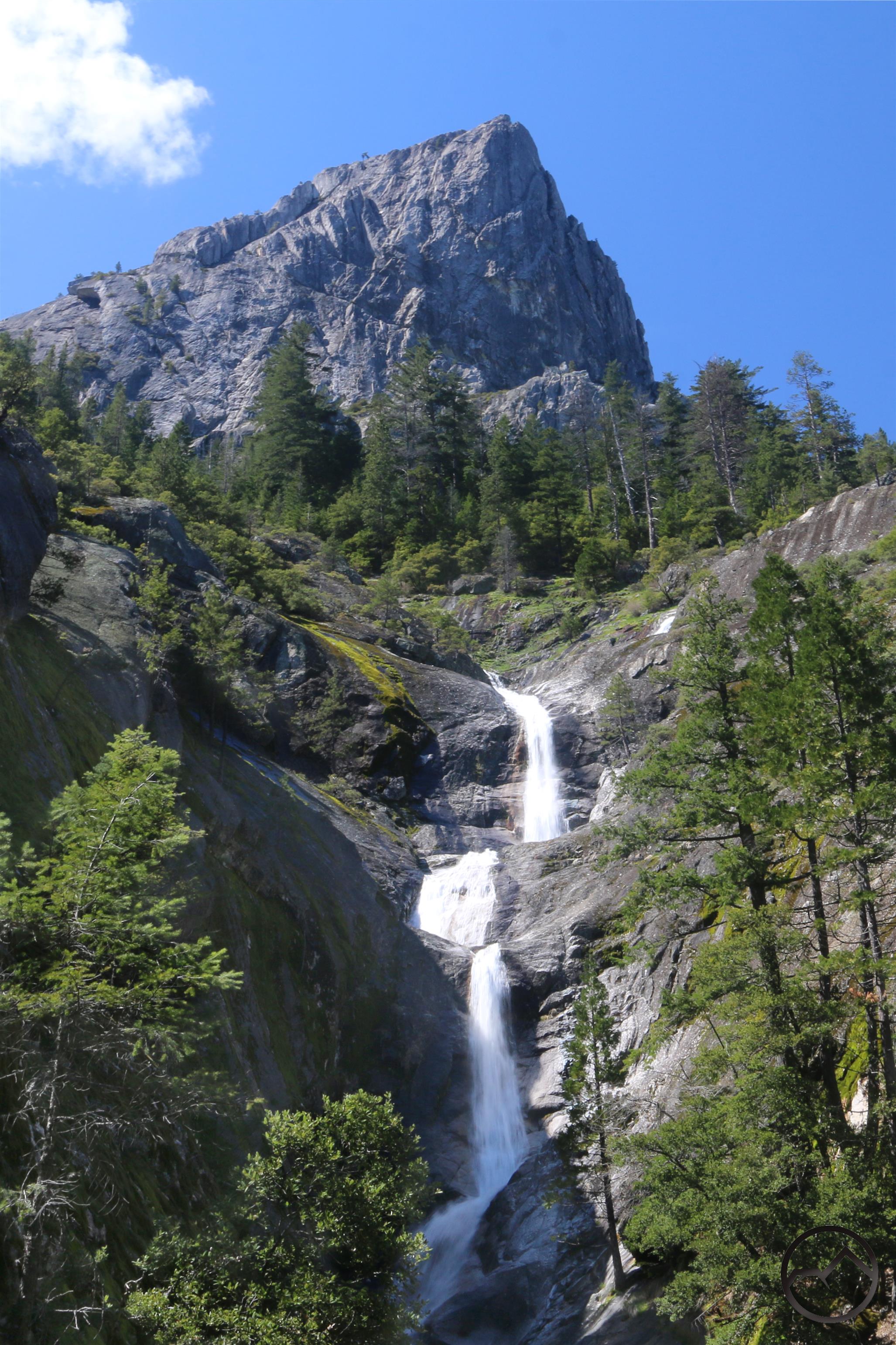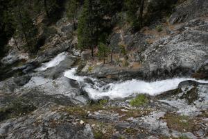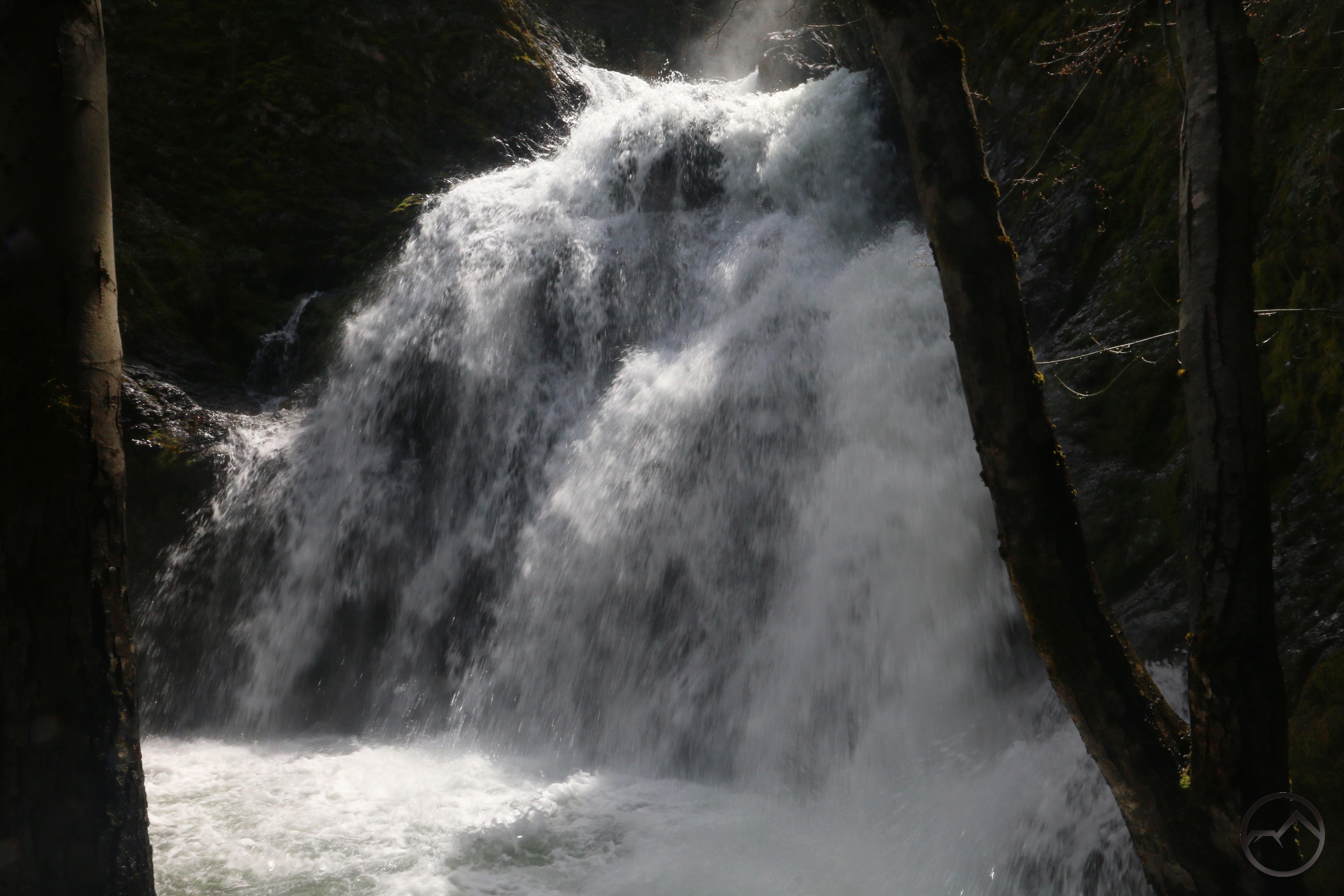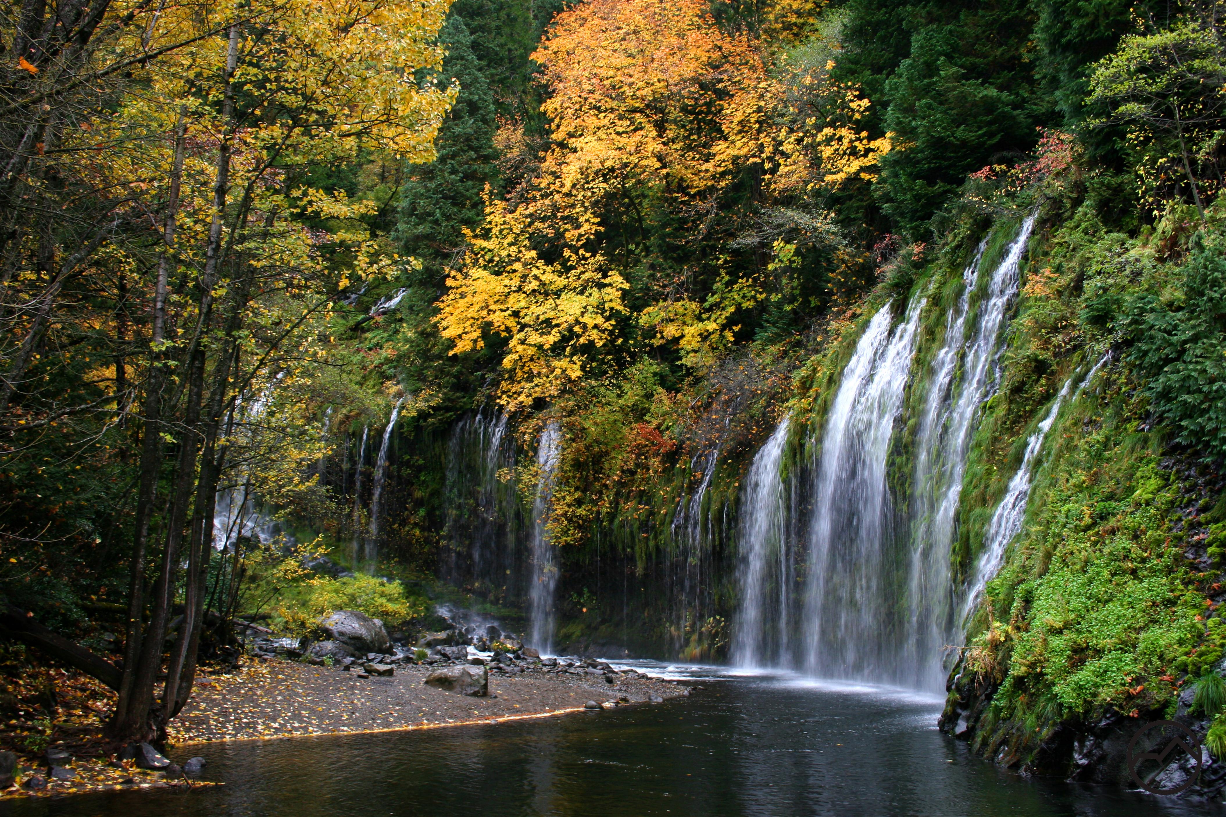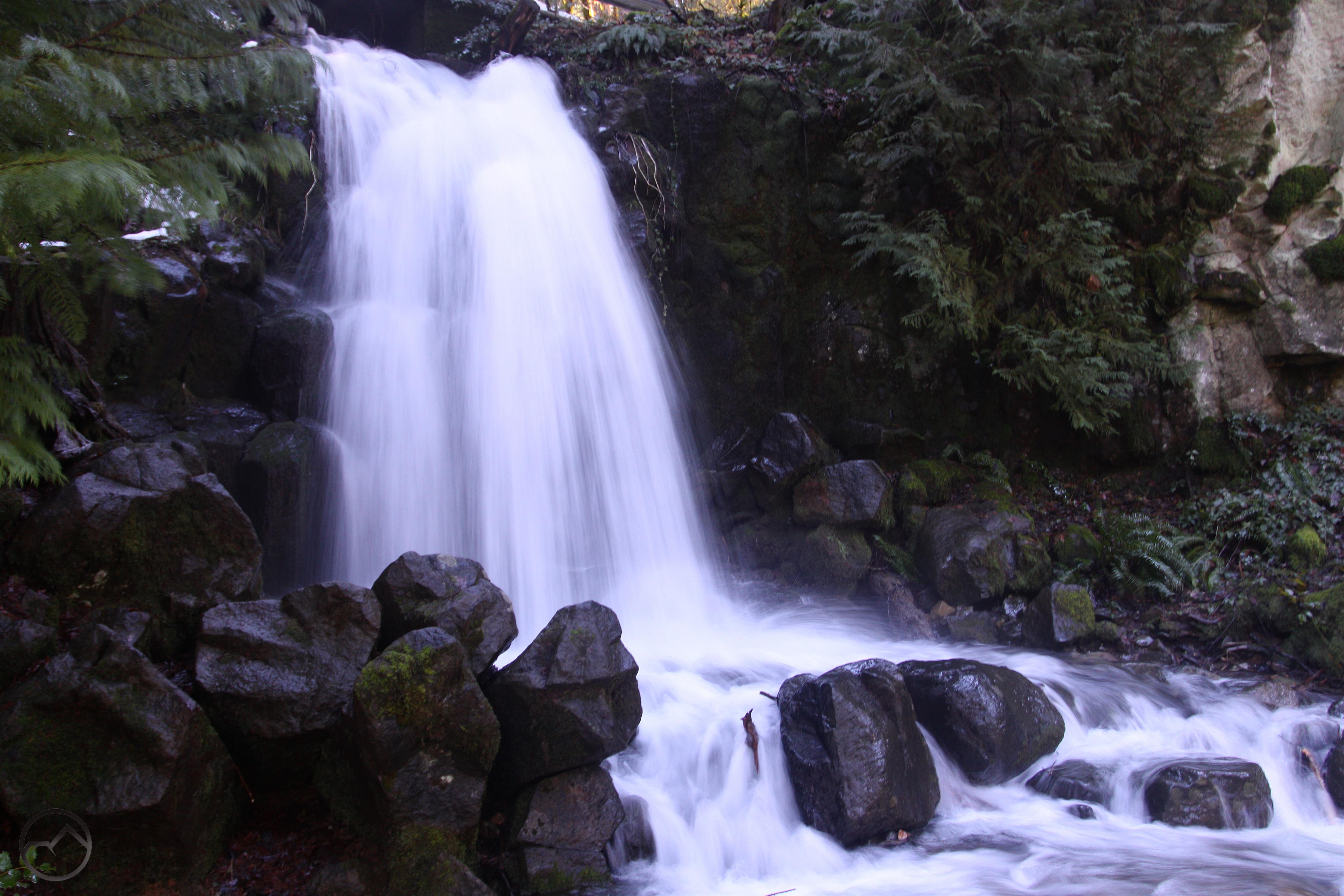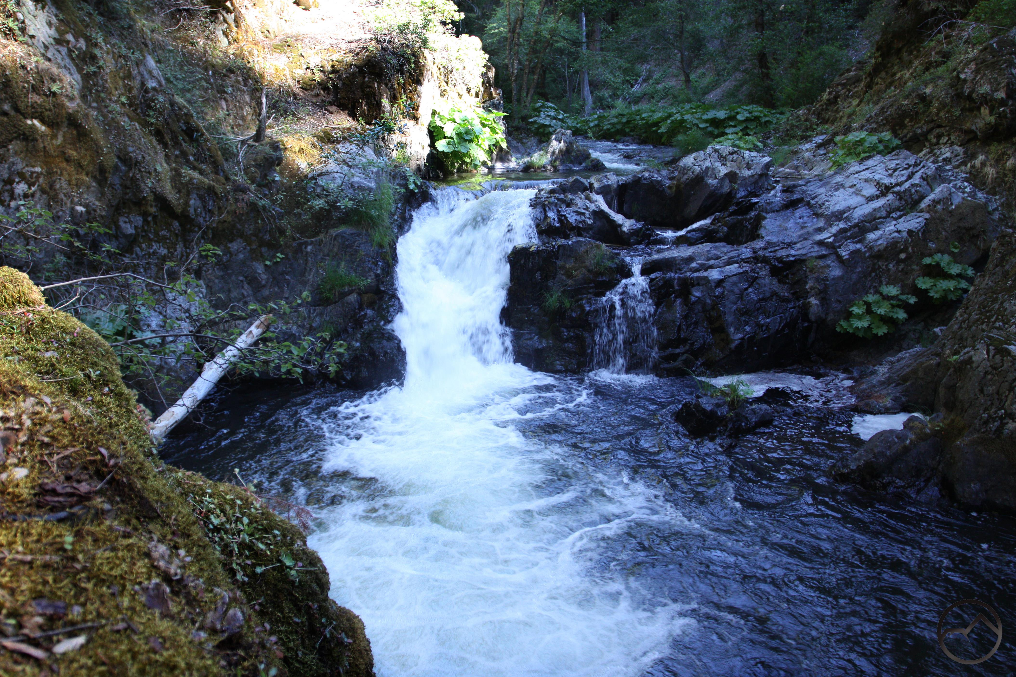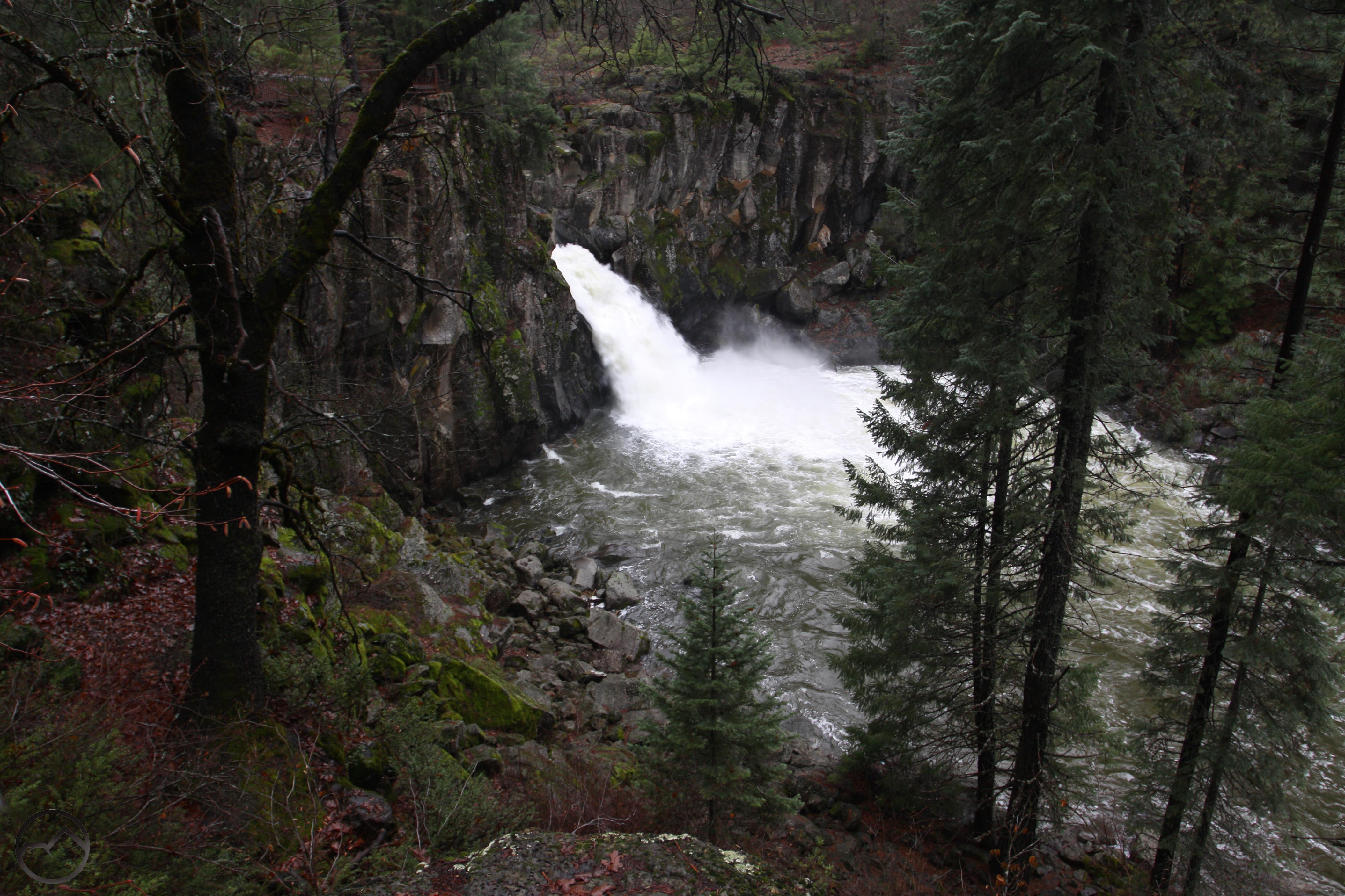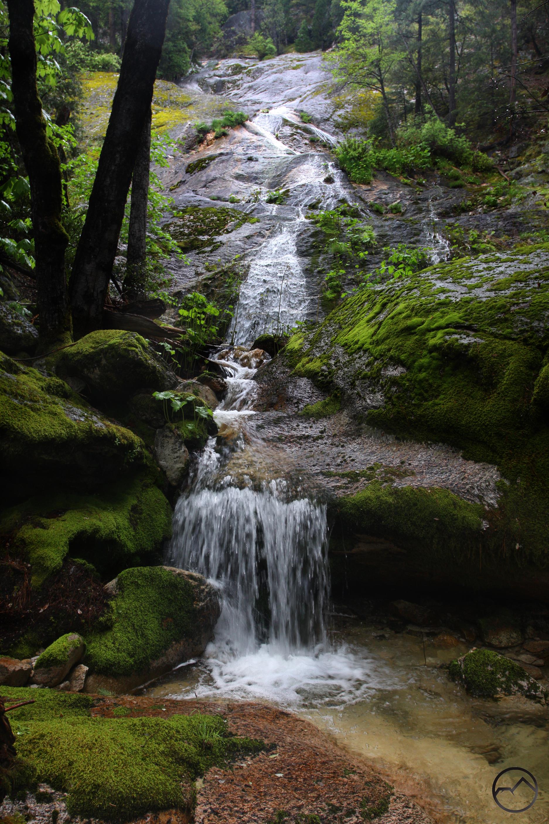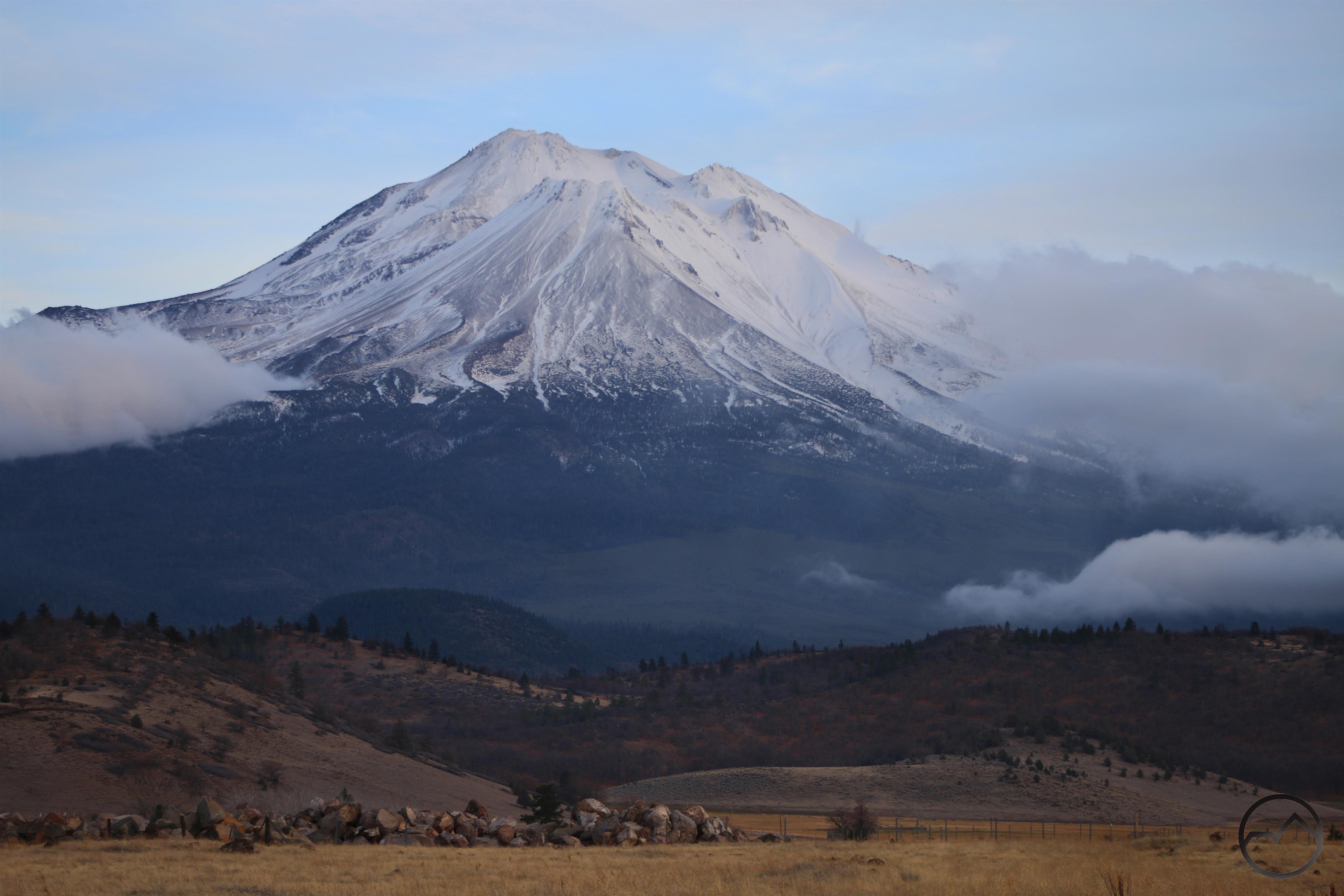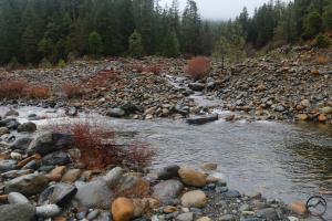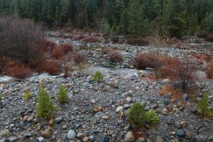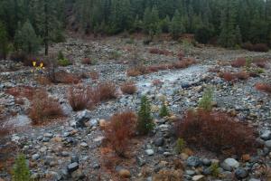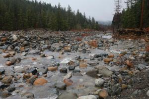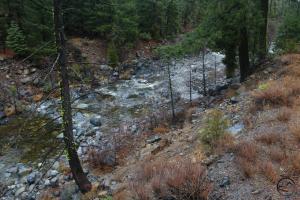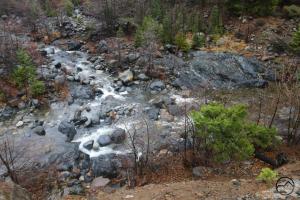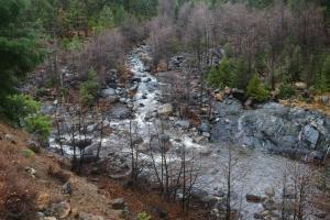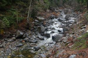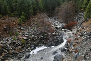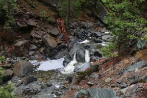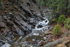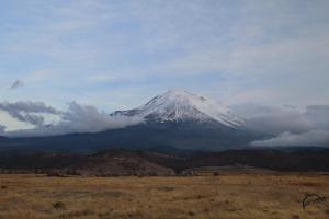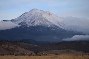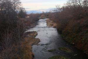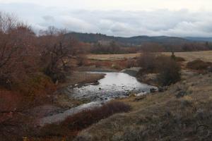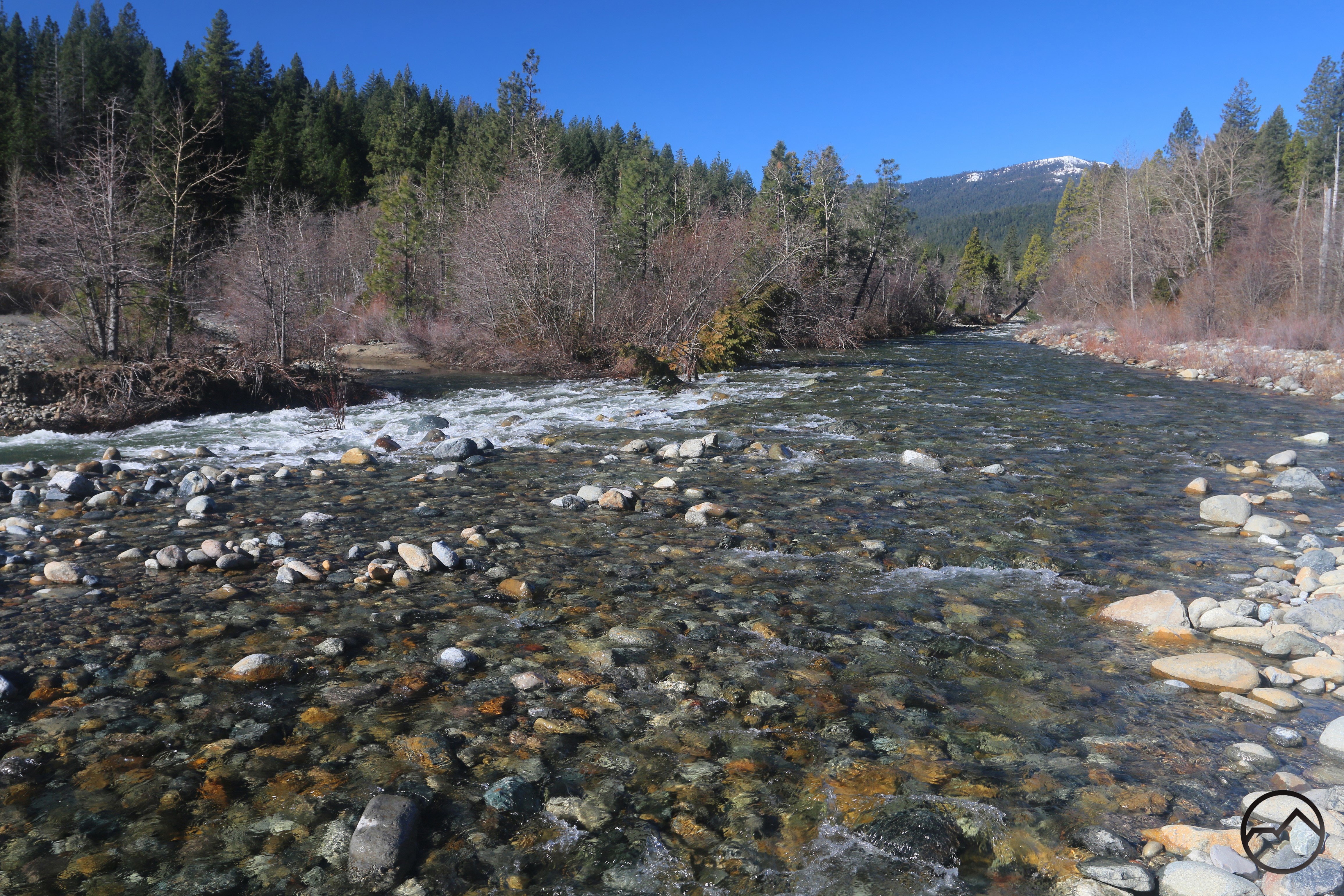
The Sacramento River flows vigorously just before entering Lake Siskiyou.
There was a season on this blog that I followed the changing conditions at the Sacramento River’s inlet into Lake Siskiyou. A number of flood events in steady succession repeatedly altered the layout of inlet landmarks. In particular, this had bearing on the position of the Lake Siskiyou Trail, which, each spring, has temporary bridges put out over the river in order to complete the loop around the lake. With the changing landscape, the trail was forced to alter course from year to year. It was fascinating to watch the river shape the land through which it flowed (Some posts can be found here, here, here, here and here).
It is hard to believe that it has been nearly 10 years since I have posted on this. My goodness have I been doing this for a long time…
This spring I decided to check in on the inlet with the intent of examining the route of the river’s flow and observing how the river may have changed its course over the last several years.
The first thing I did was get on Google Earth and examine the satellite imagery. It was obvious that trends that had begun over 10 years ago have continued. The process may have slowed somewhat but it has certainly not stopped.
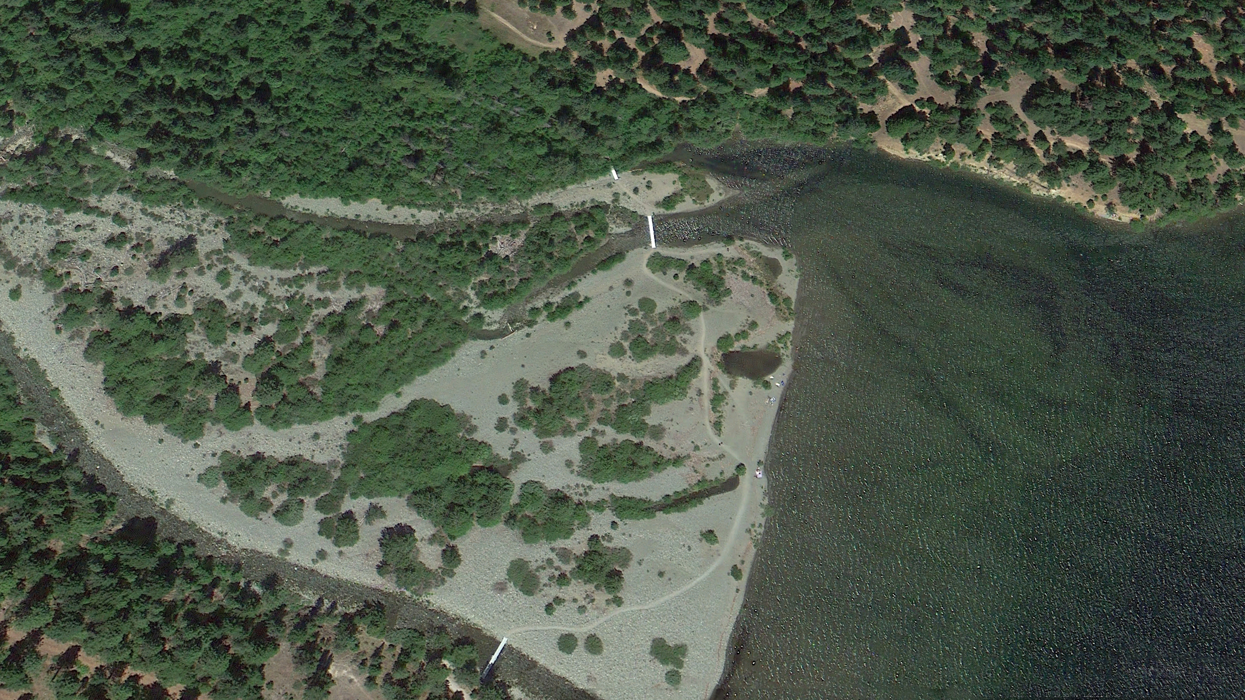
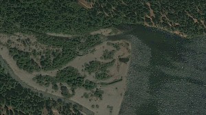
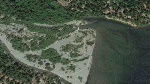
The above image is from 2012, one of the last years the inlet had this particular configuration. I can say from both experience and observation that the inlet area had been like this for several years without significant change. I basis this statement on both my personal observation, beginning in 2007 and also from the fact that there was abundant plant and tree growth dispersed throughout the inlet area. If significant changes had taken place, this growth would not have been able to grow to the extent that it did. The ability to scale Google Earth’s image dates confirms this as well, showing little change as far back as 1998. Thus, it can be asserted that there was a certain amount of stability at the inlet for several years.
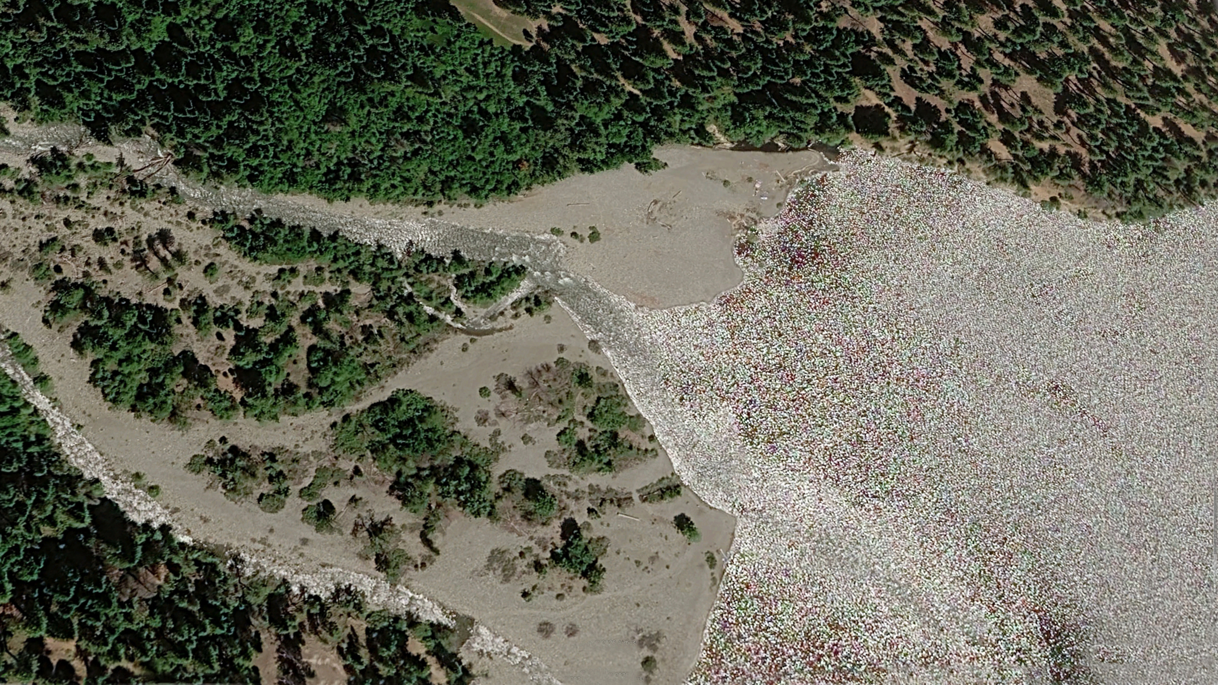
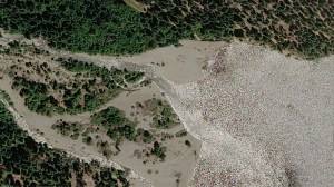
This image above is from 2026. It makes clear that the Sacramento River has both altered its course and washed away significant portions of the inlet area. In particular, the north channel has gradually shifted southward. Where it once entered the lake while hugging the low cliffs that hemmed in the flood plain, the north channel now enters the lake in the center of the inlet area. Measurements on Google Earth indicate the north channel’s point of entry into Lake Siskiyou has shifted 176 yards to the south over the last 13 years. Moreover, much of the plant community has been washed away, leaving the vari-hued river rock of the Sacramento the dominant feature of the area.
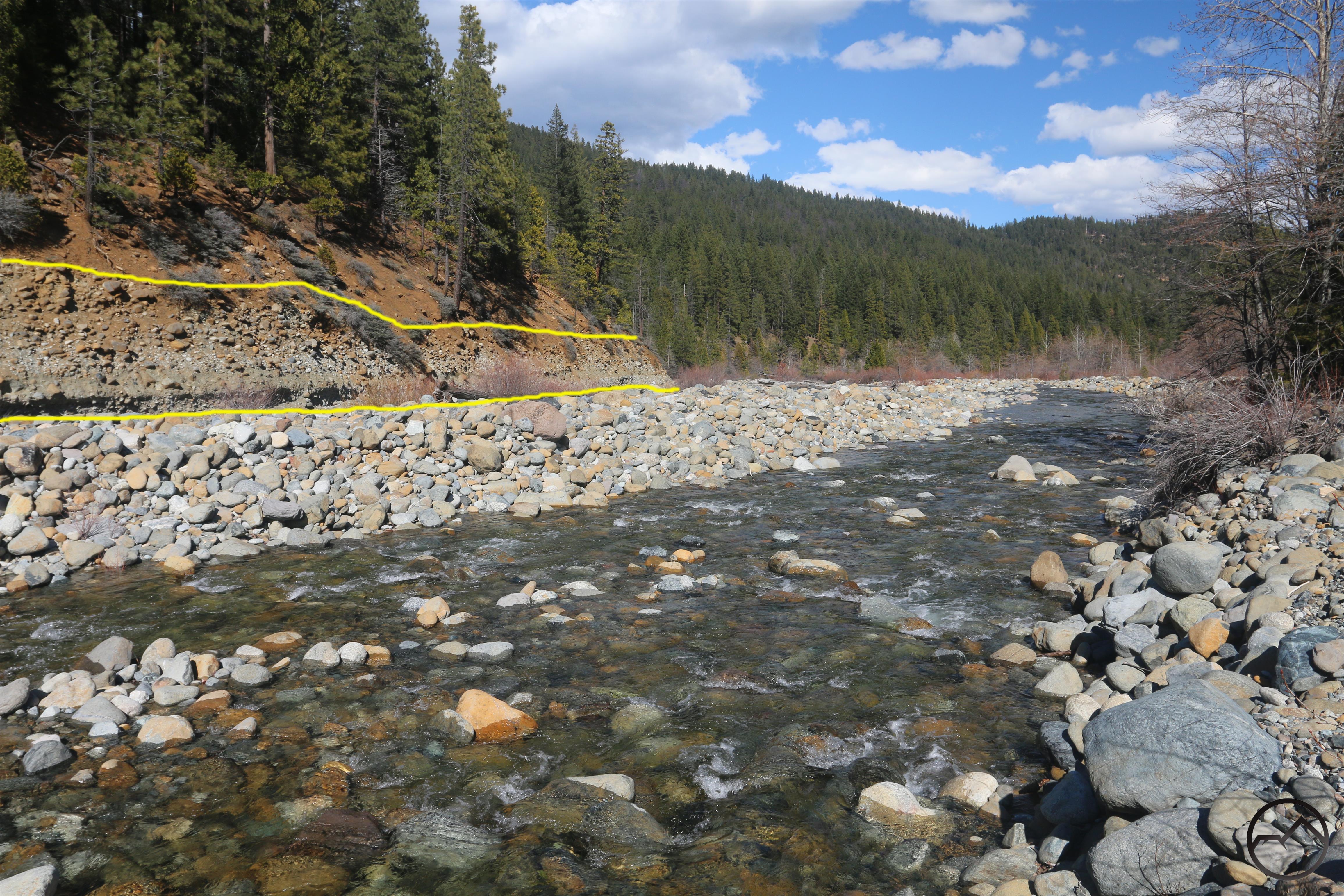
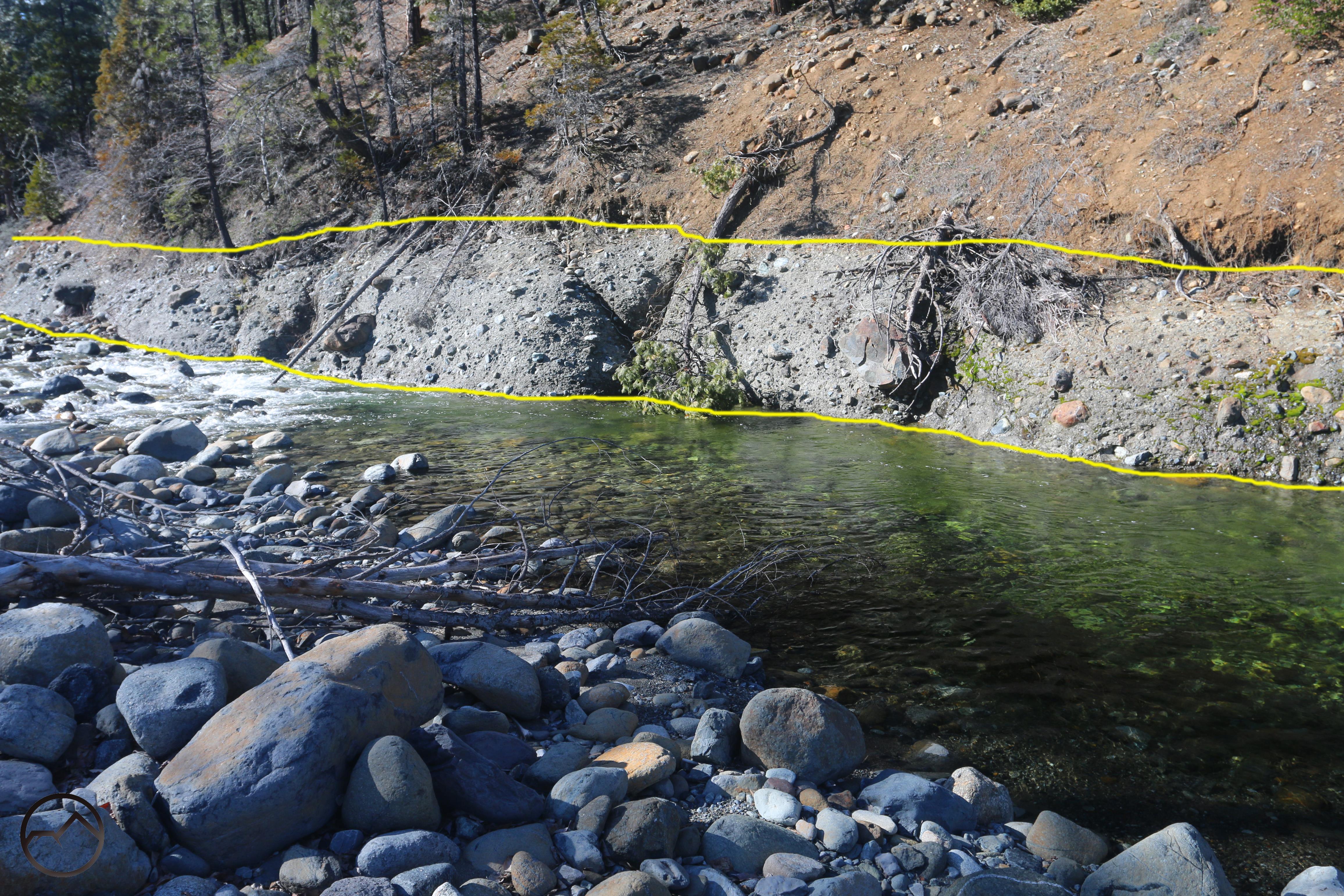
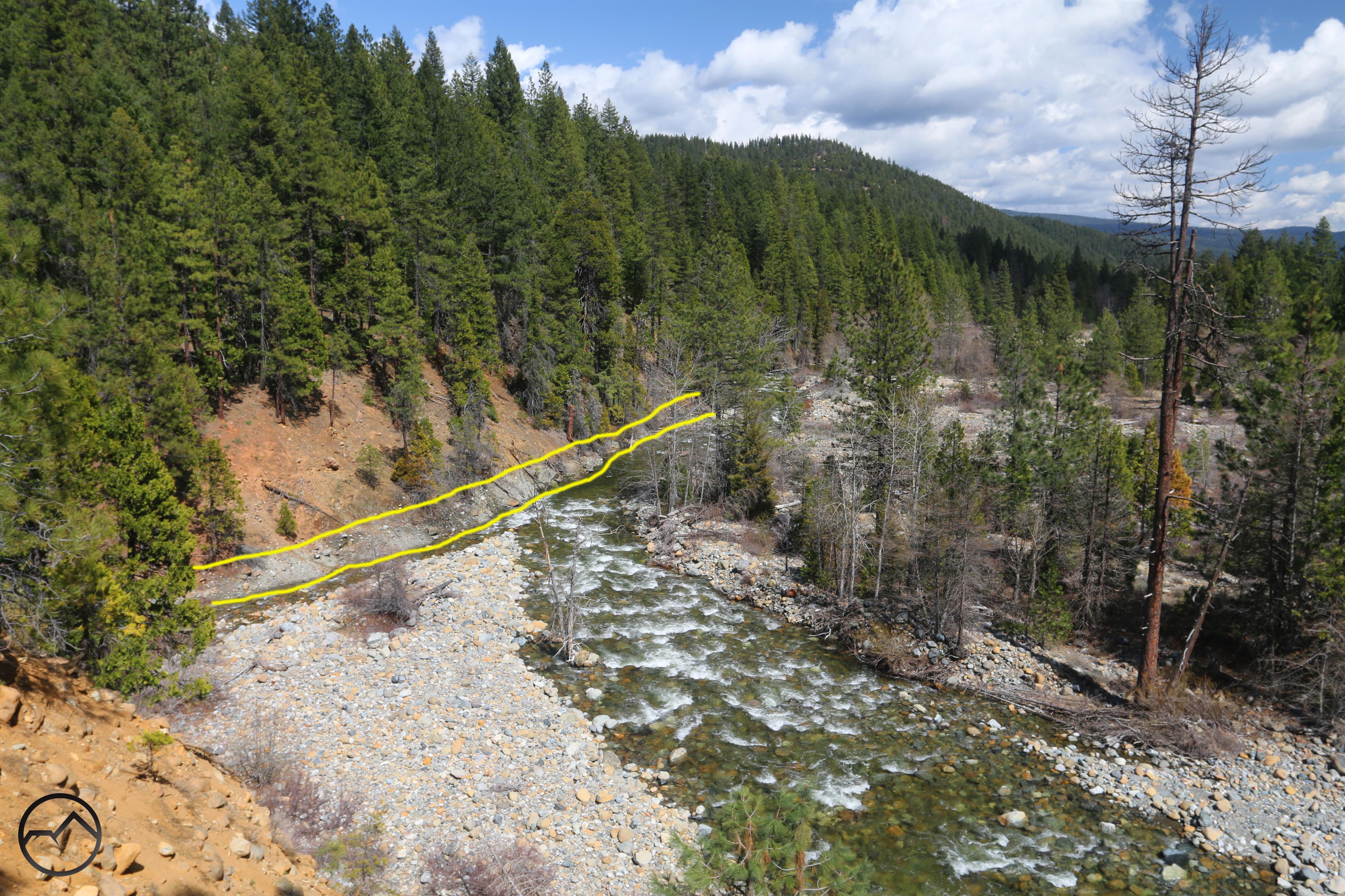
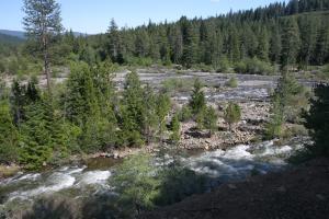
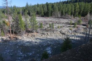
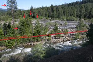
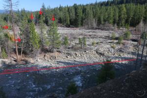
Below are a progression of images of the north channel area as it flows into the lake from 3 different years. Note how the river initially flows right up against the cliffs and then moving southward, cutting a deep channel into the rocky floodplain. The channel then recedes further south as the river erodes the loose rock strata:
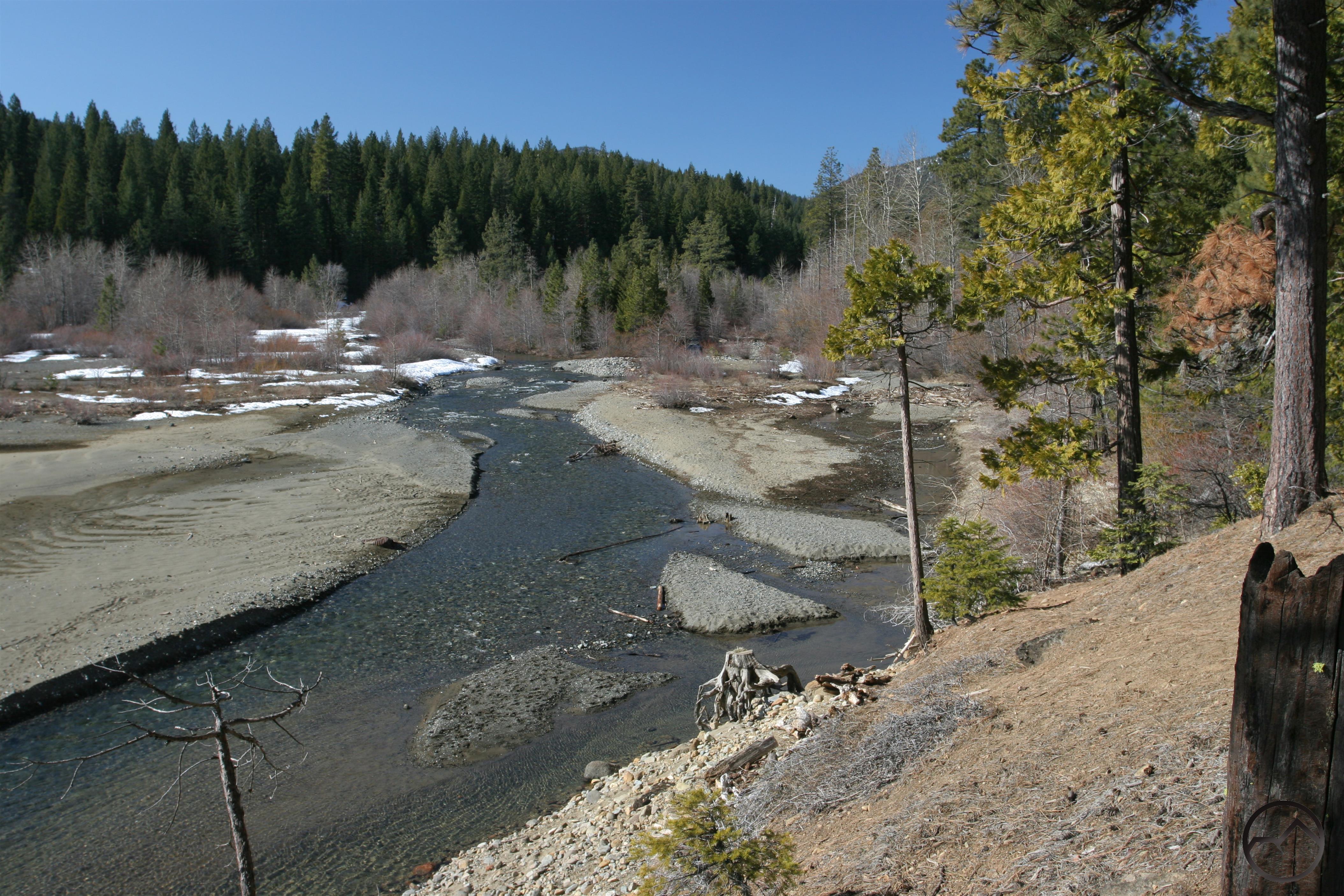
2013
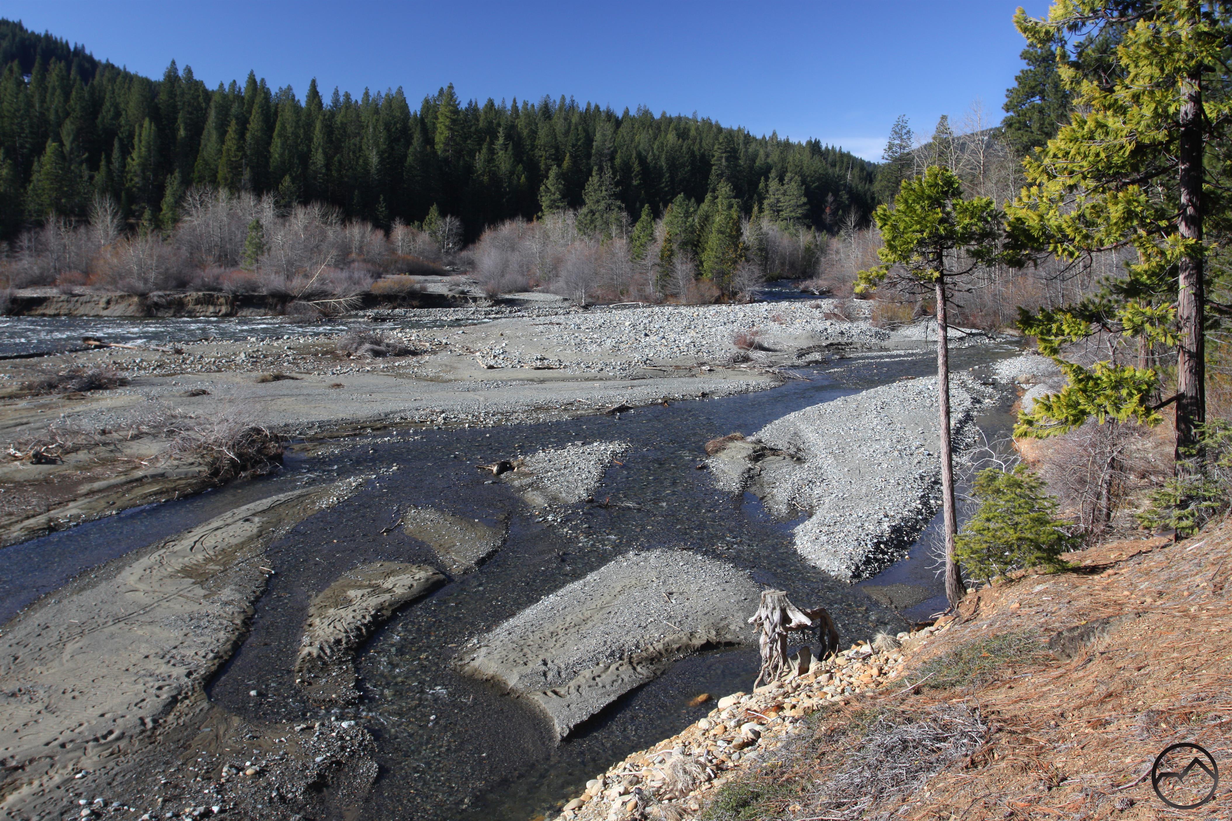
2016
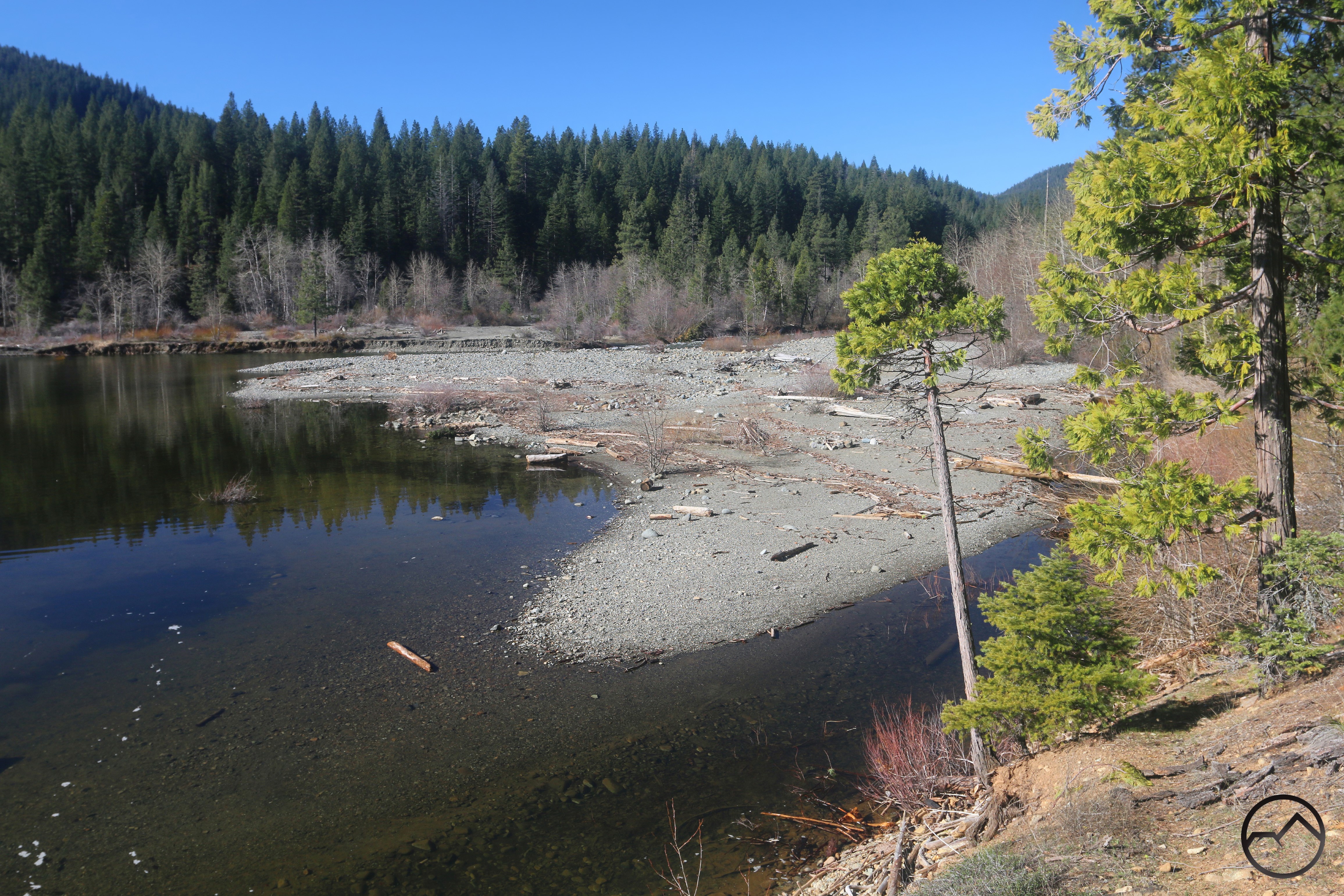
2026
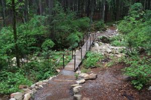
This does, of course, have an impact on the Lake Siskiyou Trail’s route over the river once the seasonal bridges are put out. The particular issue is the constantly moving south bank of the north channel. The loose strata of river rock makes placing the bridge securely a challenge. In 2012 seemingly permanent construction of gabions put the crossing in a permanent position. It was just a year or two later that the river began to alter its course, the gabions were washed out and the evolution of the area began.
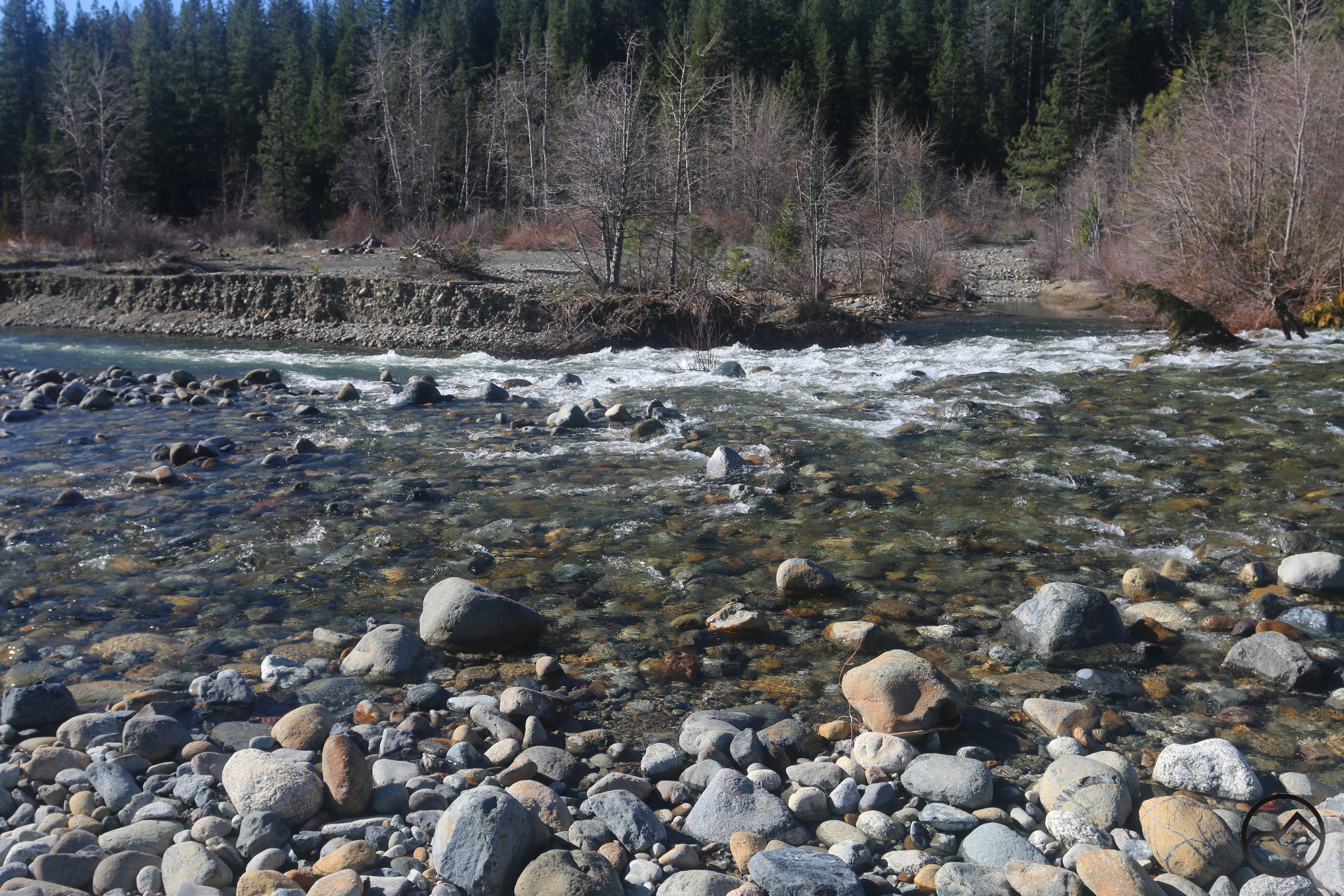
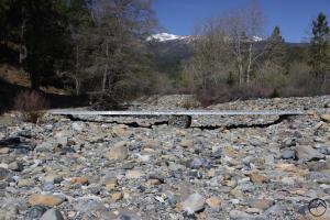
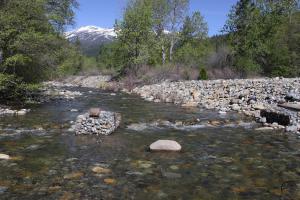
In March of 2026, the river was wide and it was difficult to determine where the bridge might be placed.
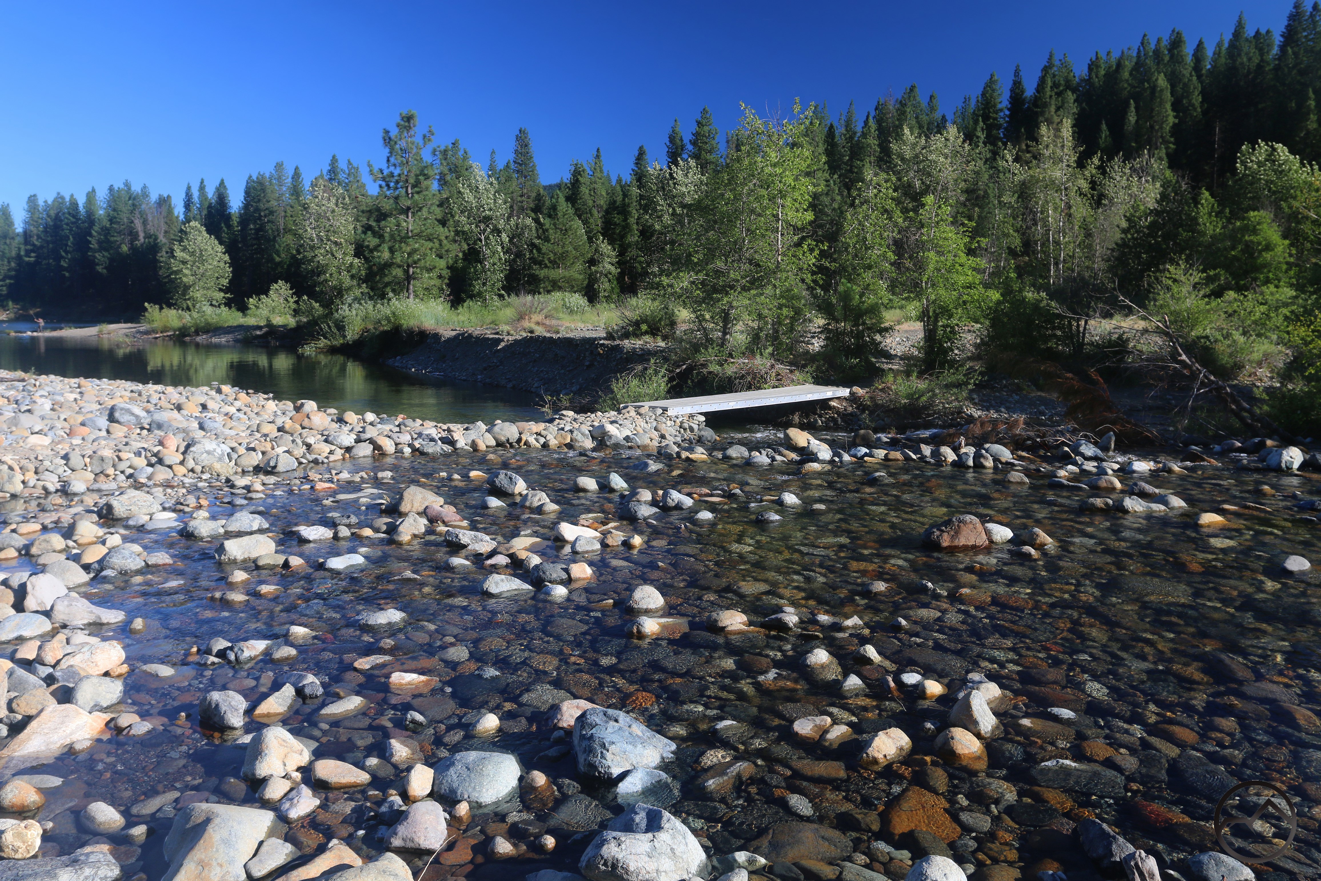 By June 2026, a large causeway composed of river rock had been constructed in order to elevate the foundation of the north side of the bridge as well as close the gap over the river so that it can be crossed in a single span. This level of construction was in no way necessary several years ago. Also noteworthy is that in 2012, the original iteration of the bridges across the north channel had a short span at the edge of the flood plain and then a second crossing that required two spans bridging a series of gabions. Now only the single span is needed due to the causeway.
A lot has changed at this area. It is fascinating to observe just how much the river channel, lake shoreline, and trail have all been shaped by the river’s flooding.
-
- 2010
-
- 2012
-
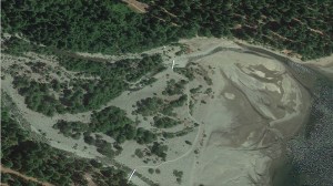
- 2014
-
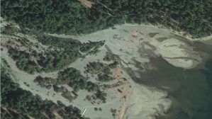
- 2016
-
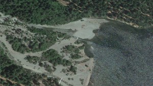
- 2017
-
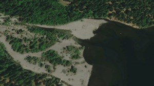
- 2020
-

- 2021
-
- 2026
Note how in all those images, the south channel and its span have remained constant. Though there was one year where the river shifted its primary flow into the south channel, the following year it was back to emptying the majority of its water into the lake through the north channel.
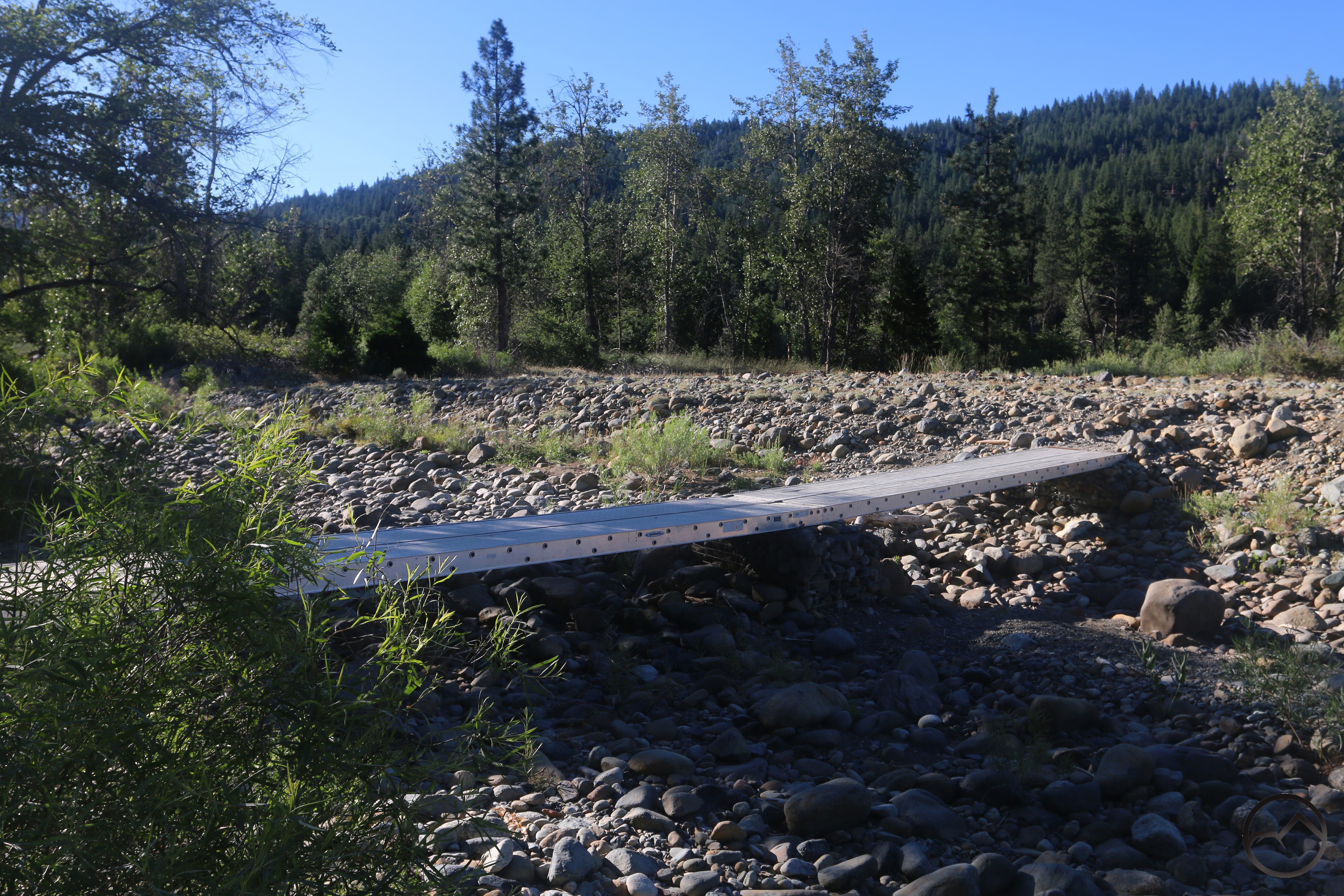
Remarkably, the bridge over the south channel still rests on the original gabion that was put in place in 2011-2012. As is often the case, the south channel dries up early in the season, leaving the north channel the only one that needs the bridge.
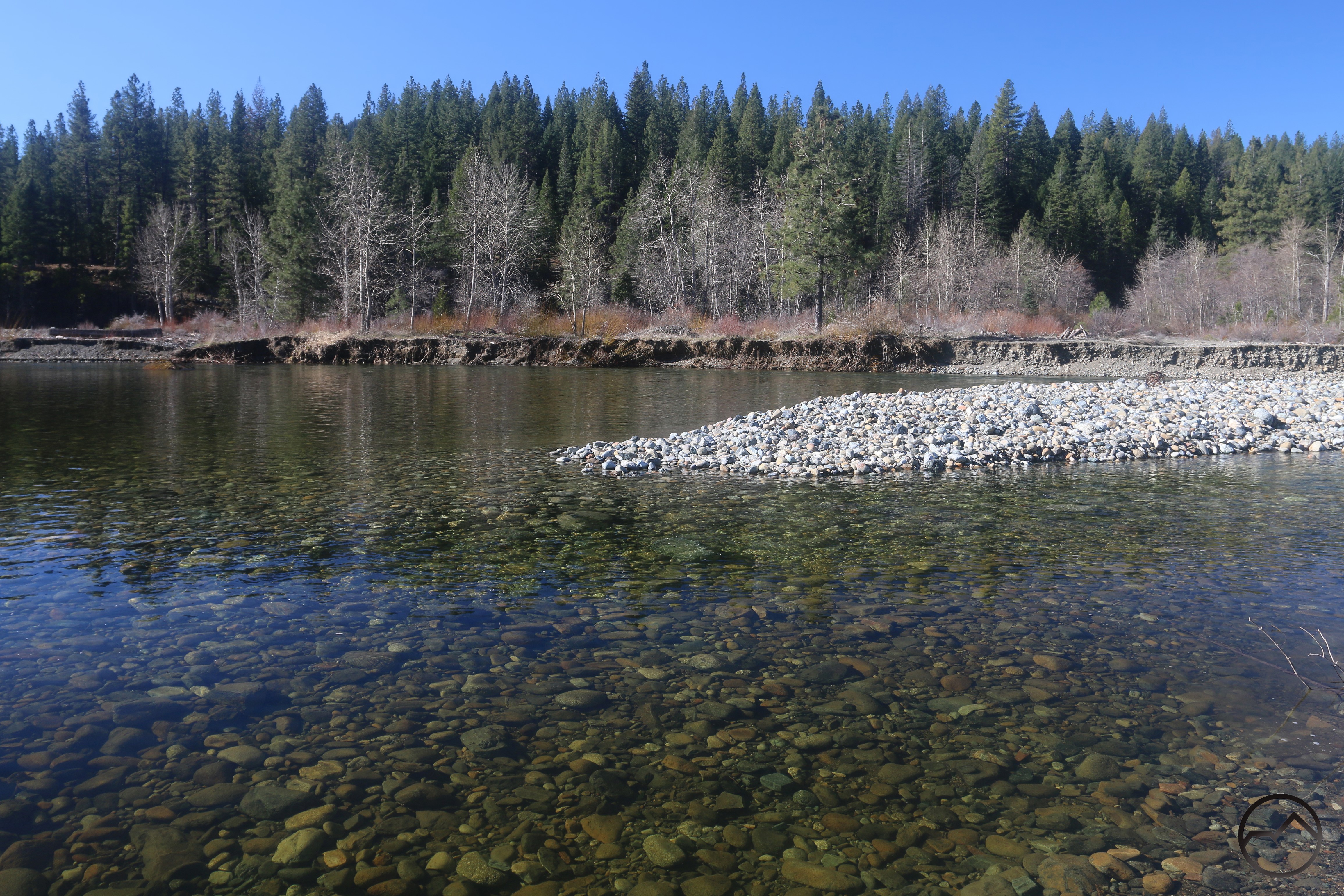
Though I have gone to the inlet many times over the last many years, it has been a good exercise to go back and evaluate it critically with an eye toward the changes that continue to take place. It makes me wonder if the north will eventually push all the way to the mouth of the south channel and they will merge, creating an island in the river, rather than one formed partially by the lake. Time will tell.
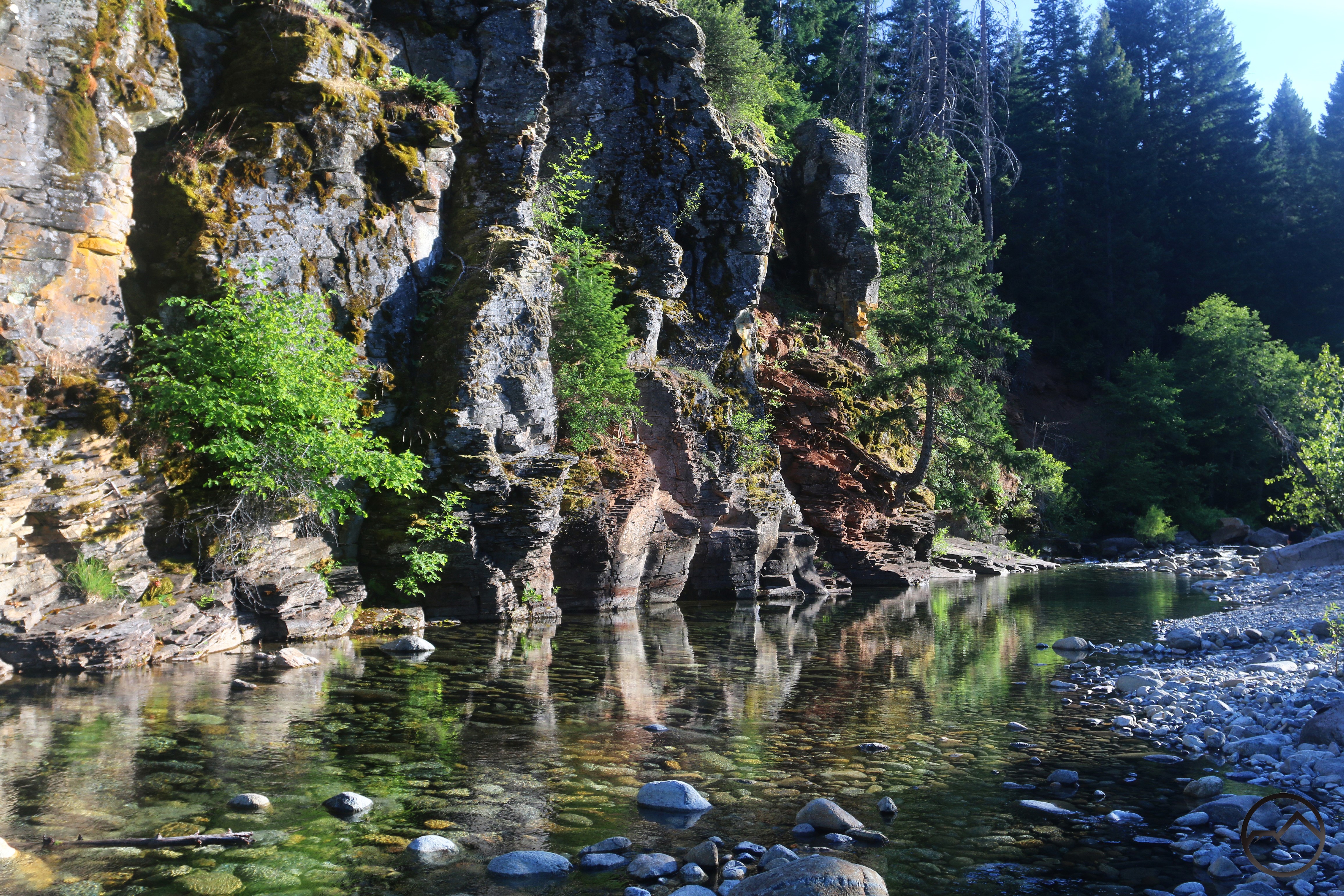
Of course, the river upstream has many other beautiful spots that tend to draw my attention more these days. It is amazing how many beautiful spots continue to go unnoticed. At least some of these won’t just erode away as the river flows.