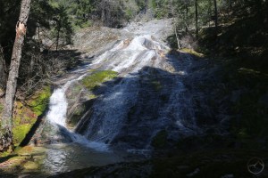
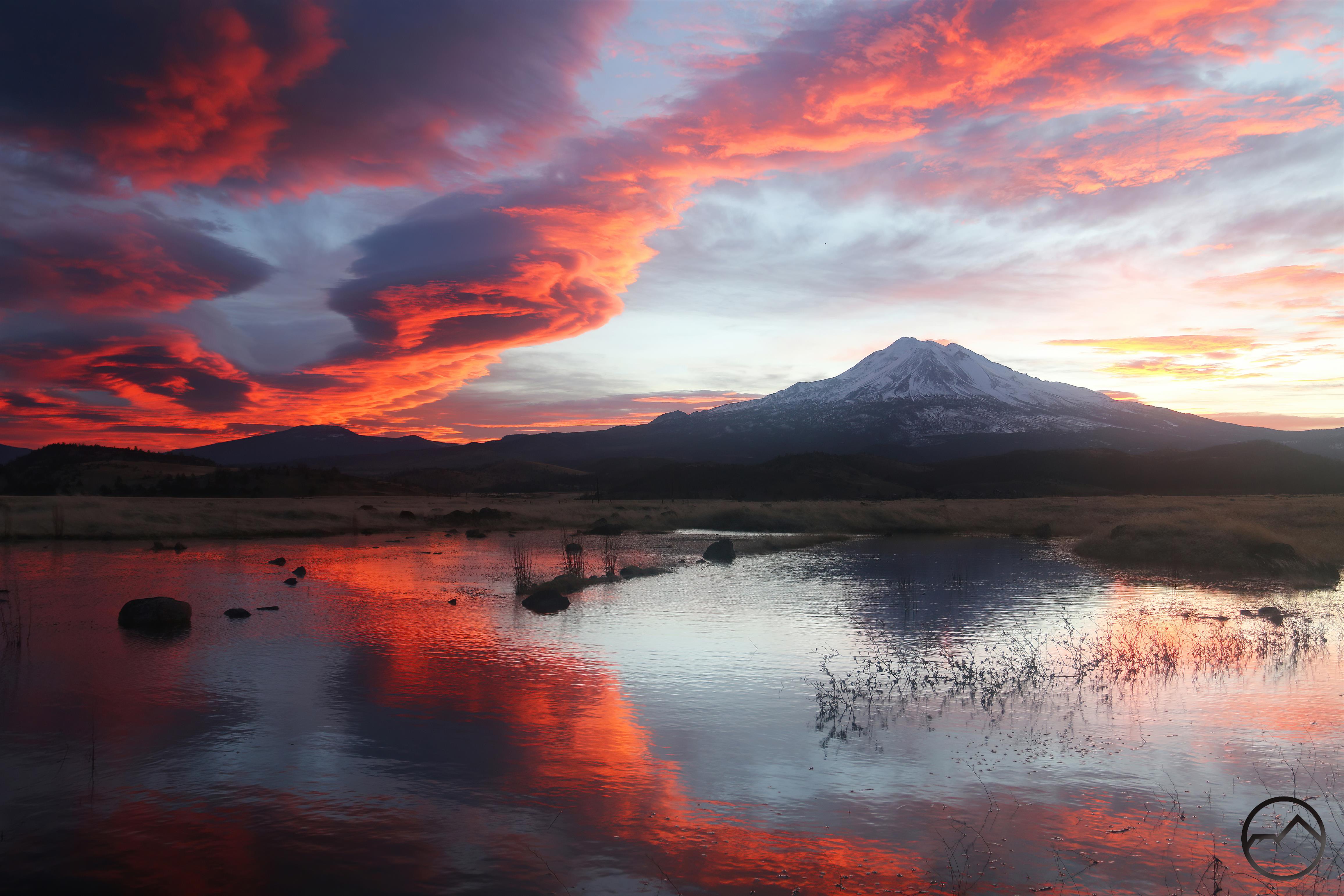
“Beargrass Falls” pours over a cement bank.
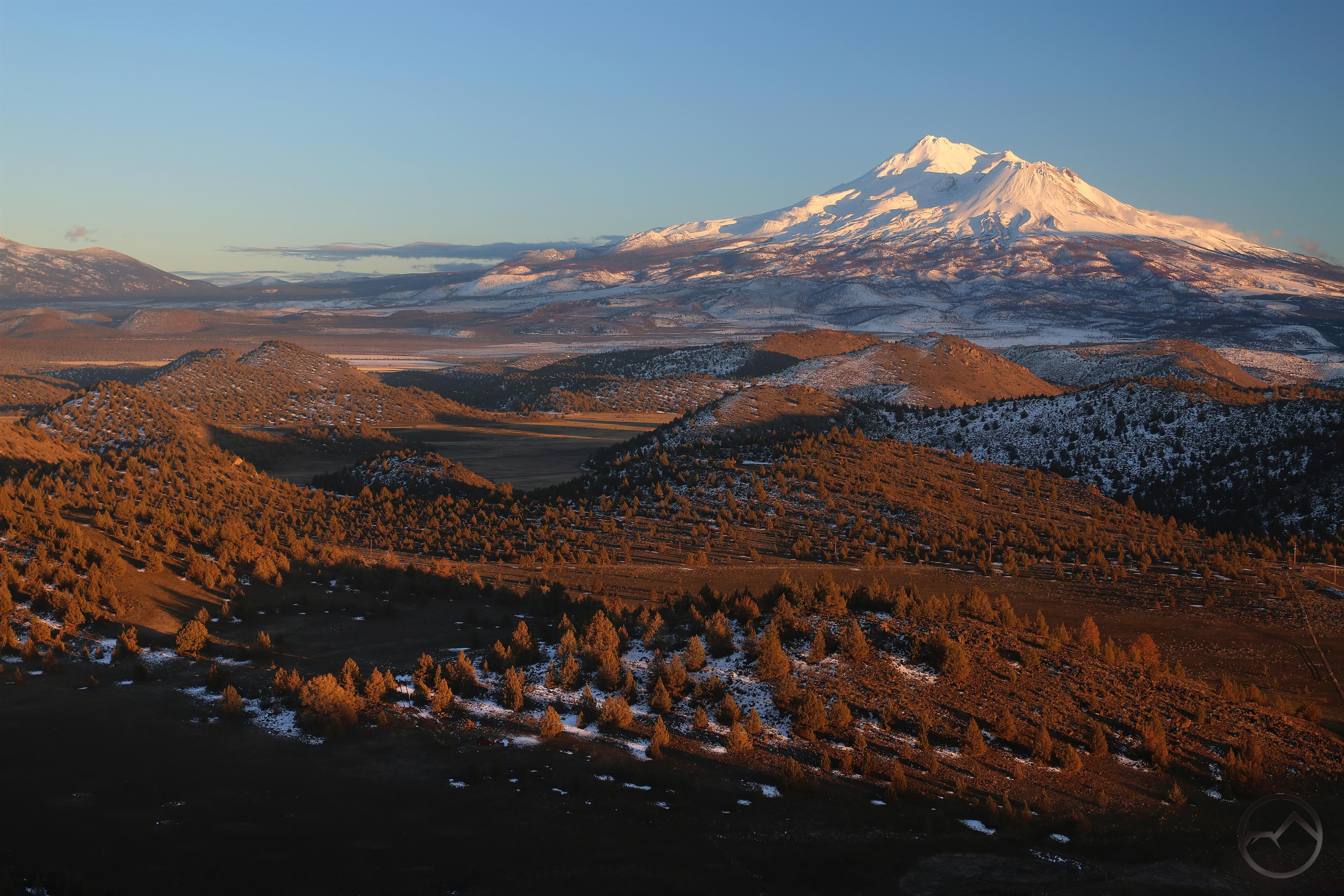
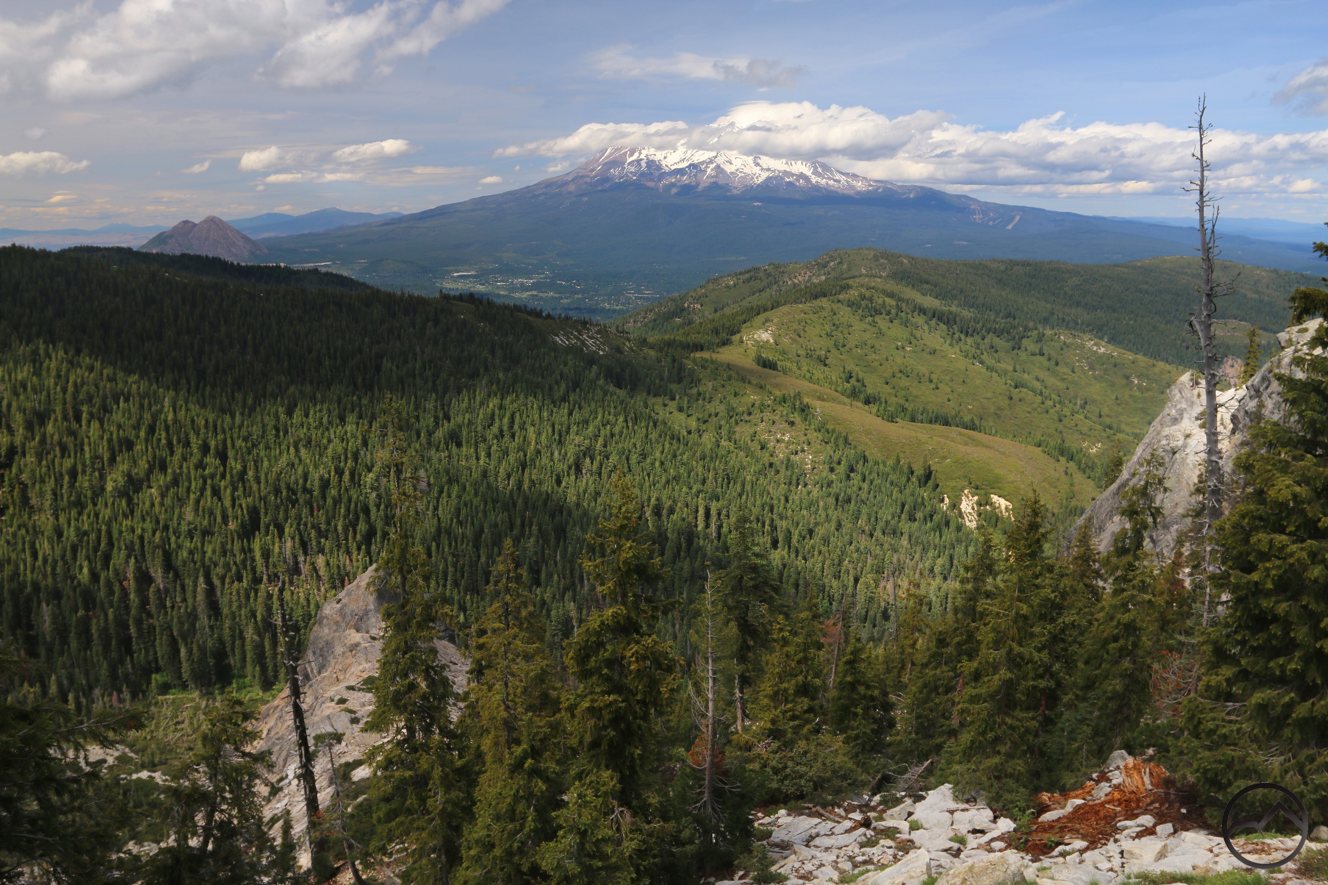
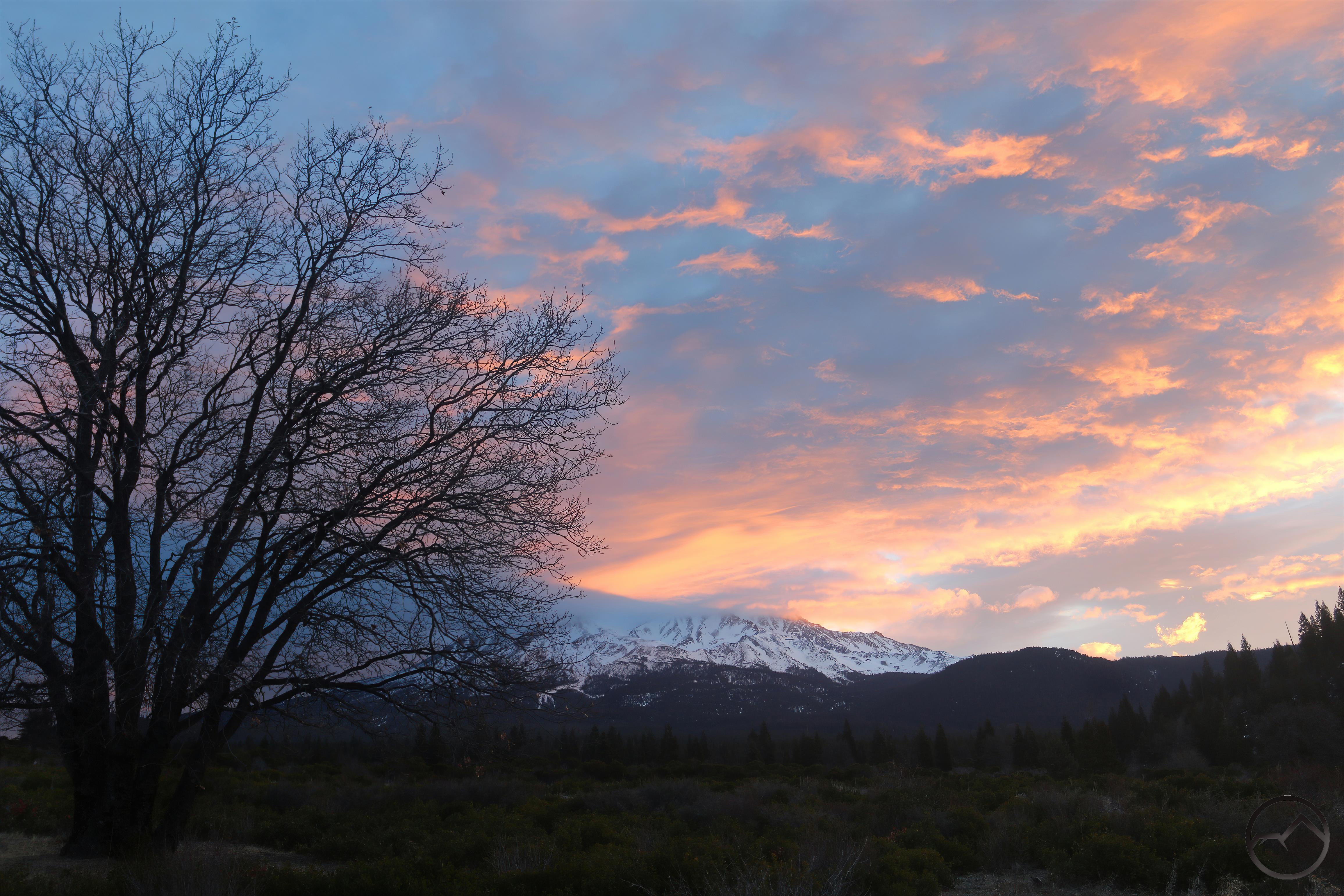
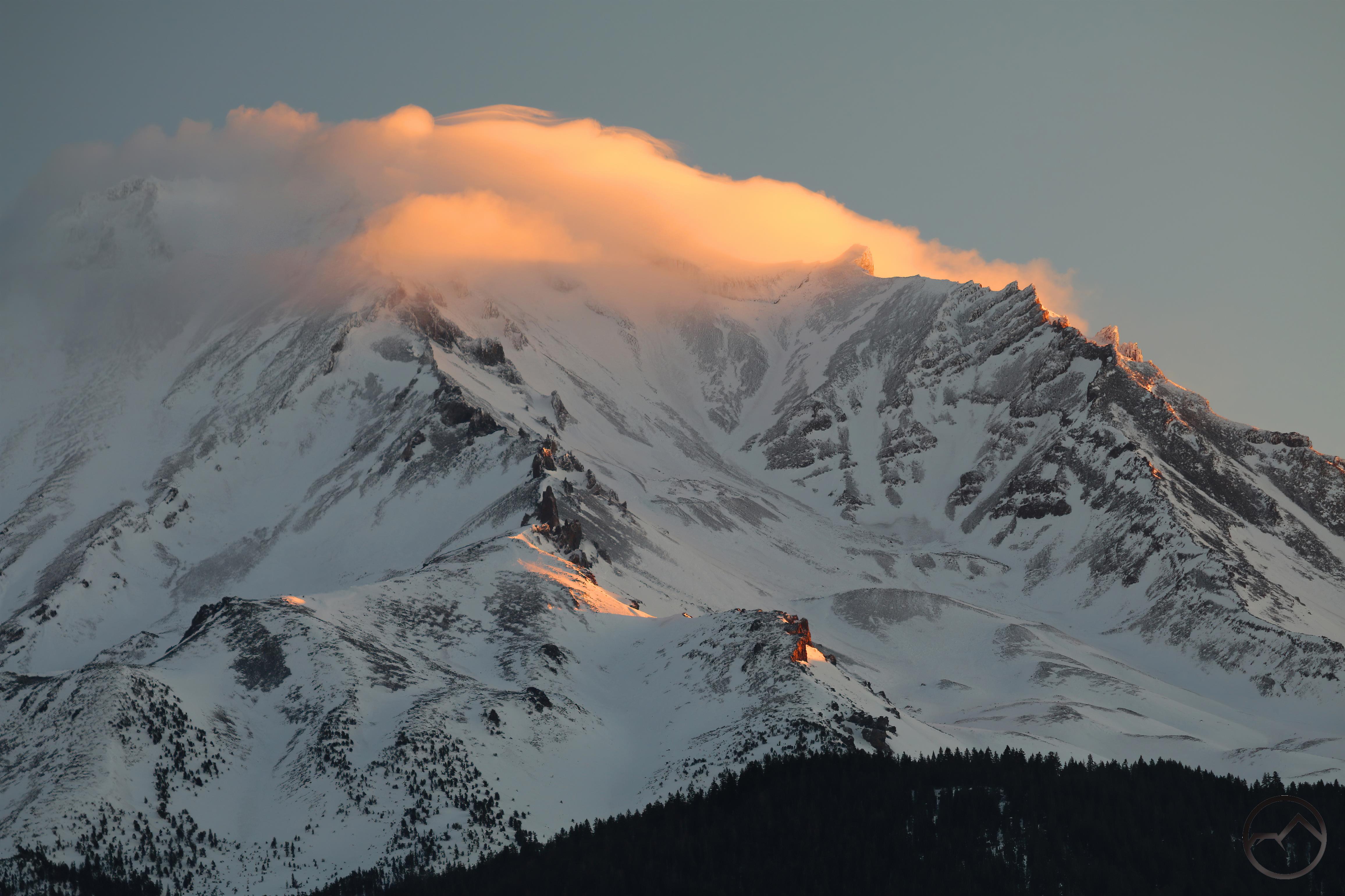
Over the last several months, I have been exploring a lot of Mount Shasta area’s canyons, most of which tend to get overlooked by hikers. These canyons are found on Mount Shasta, in the Trinity Divide, and in the criminally ignored Scott Mountains. The latter two has offered a glimpse into the Klamath Mountain’s odd geologic past and been a highlight of many scrambles through some rugged and beautiful areas. The exploration of these wild areas is enhanced by the mysterious anonymity of the land but also by some unusual geologic features.
In particular, the Trinity Divide and Scott Mountains have a tendency to exhibit “cement”, which are large collections of loose rock that have been packed together like aggregate in a natural concrete. From the reading I have done, at least one formation I have seen is attributed to glacial activity. However, this formation, and all the others I have observed, seem to be filled with river rock, which may or may not fit the glacial theory. Furthermore, all the other examples I have seen are located along water ways, which seems to indicate the possibility of a flood having been involved in the formation of these unusual features.
So what is “cement”? I have no concrete idea (pun intended) but it does make for interesting hiking and I thought it worthwhile to note the existence of this unusual feature. Here are some examples of the strange phenomenon:

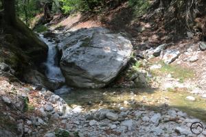
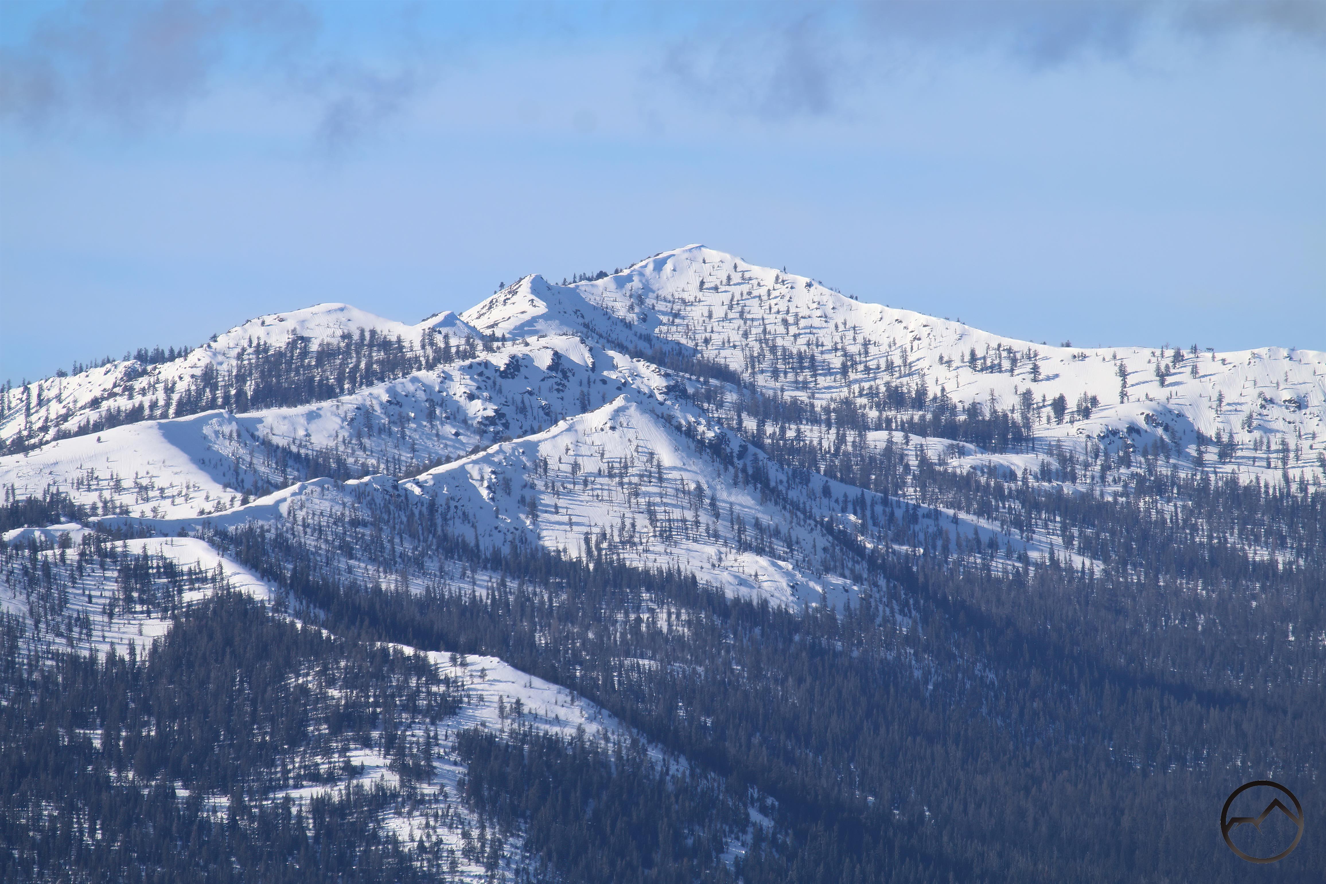
Cement Bluff and Bluff Lake
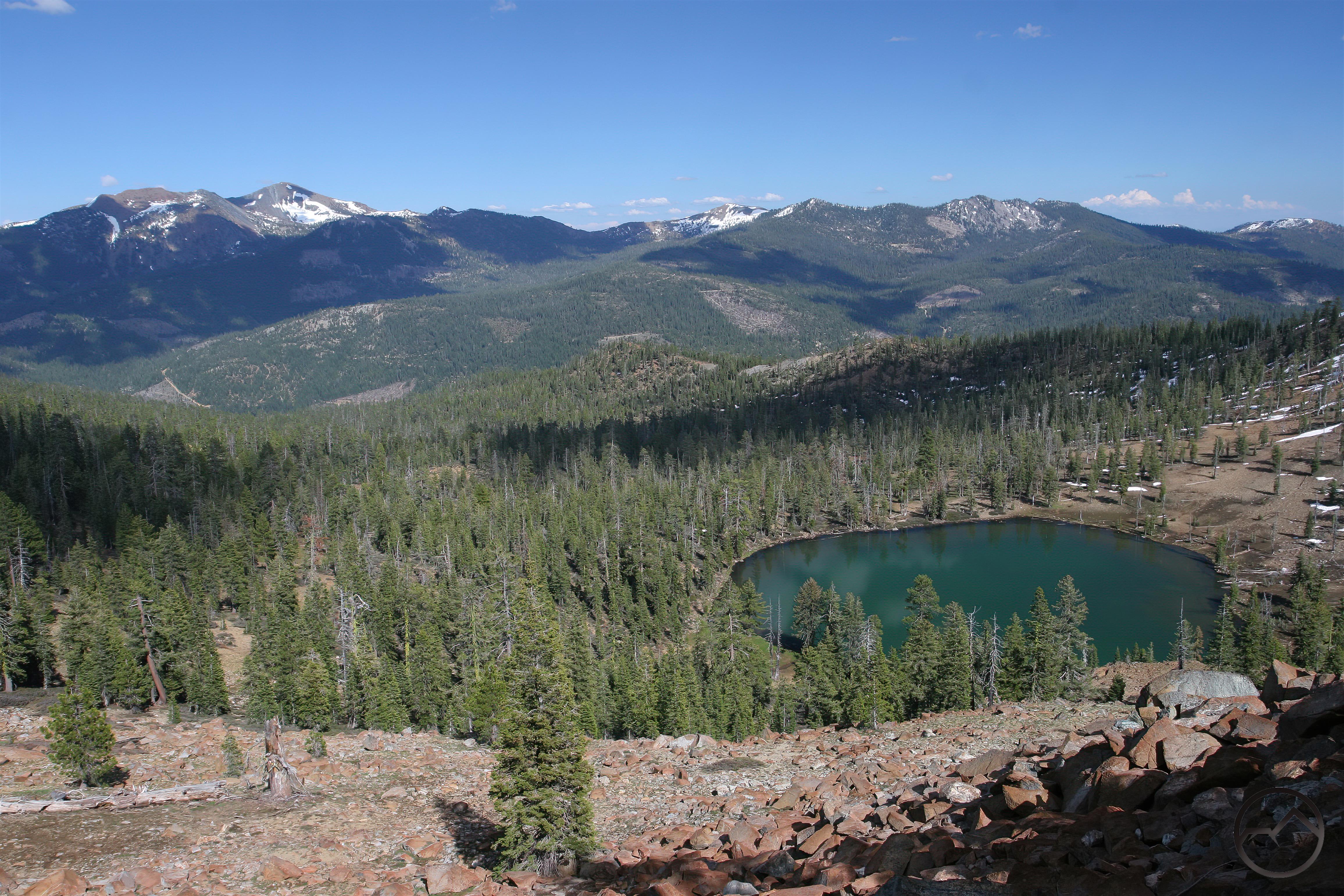
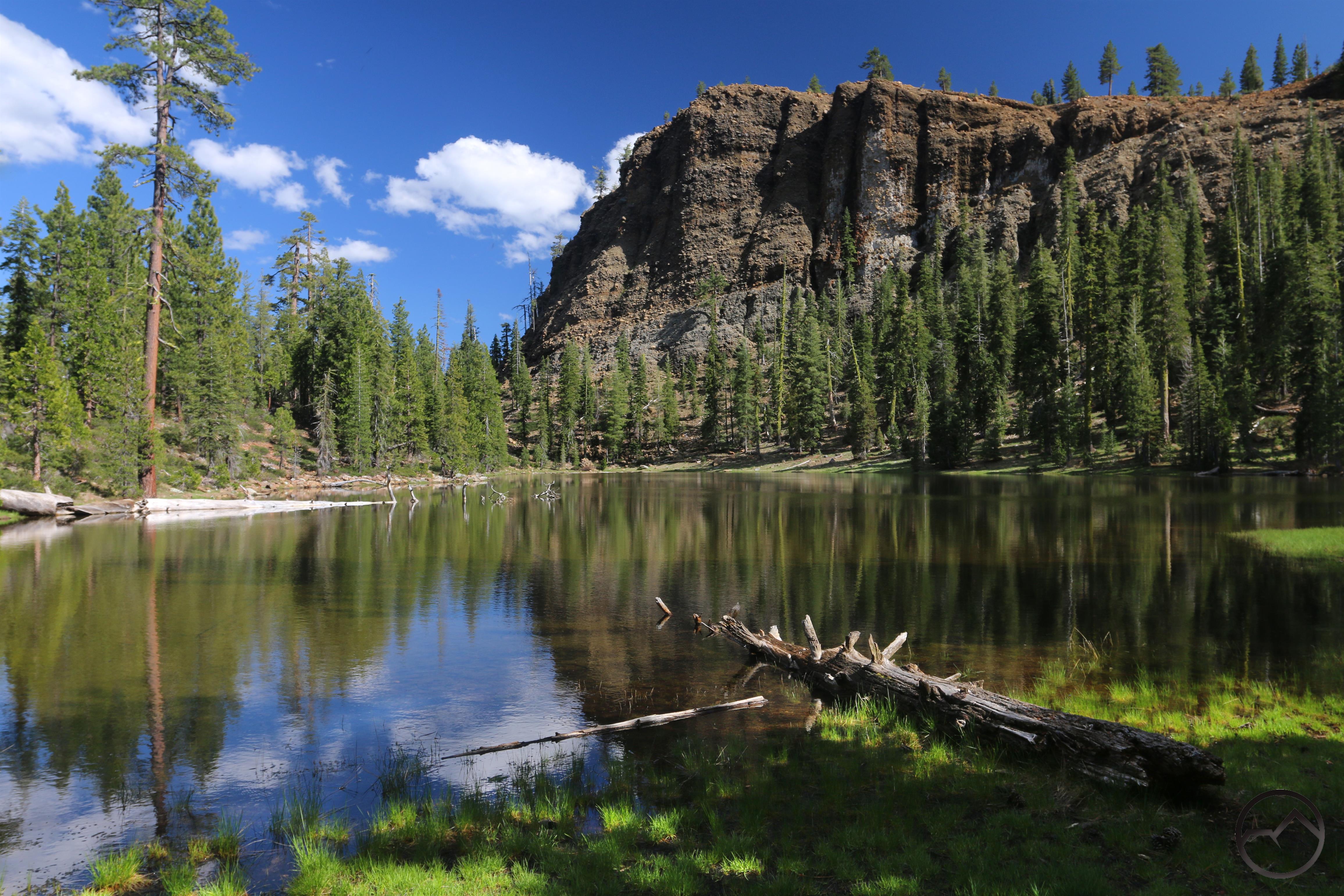
Perhaps the most interesting and well known is the Cement Bluff, which rises in distinctive fashion above Bluff Lake. It, along with the Cement Banks in the Trinity Alps Wilderness, are the only examples I know of that have formed along a ridge rather than along a creek or river. The glacial explanation I have seen was given specifically for these formations and may not even apply to the riparian variety. They do seem linked, however. Regardless of the connection, it is a remarkable formation and intriguing in the mysterious nature of its creation. Bluff Lake is also a charming lake, fringed with meadow at the north end and boasting blocks of cement on its south and west shores. It is certainly worth the effort to visit.
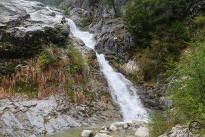
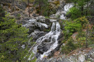
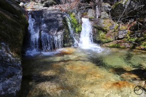
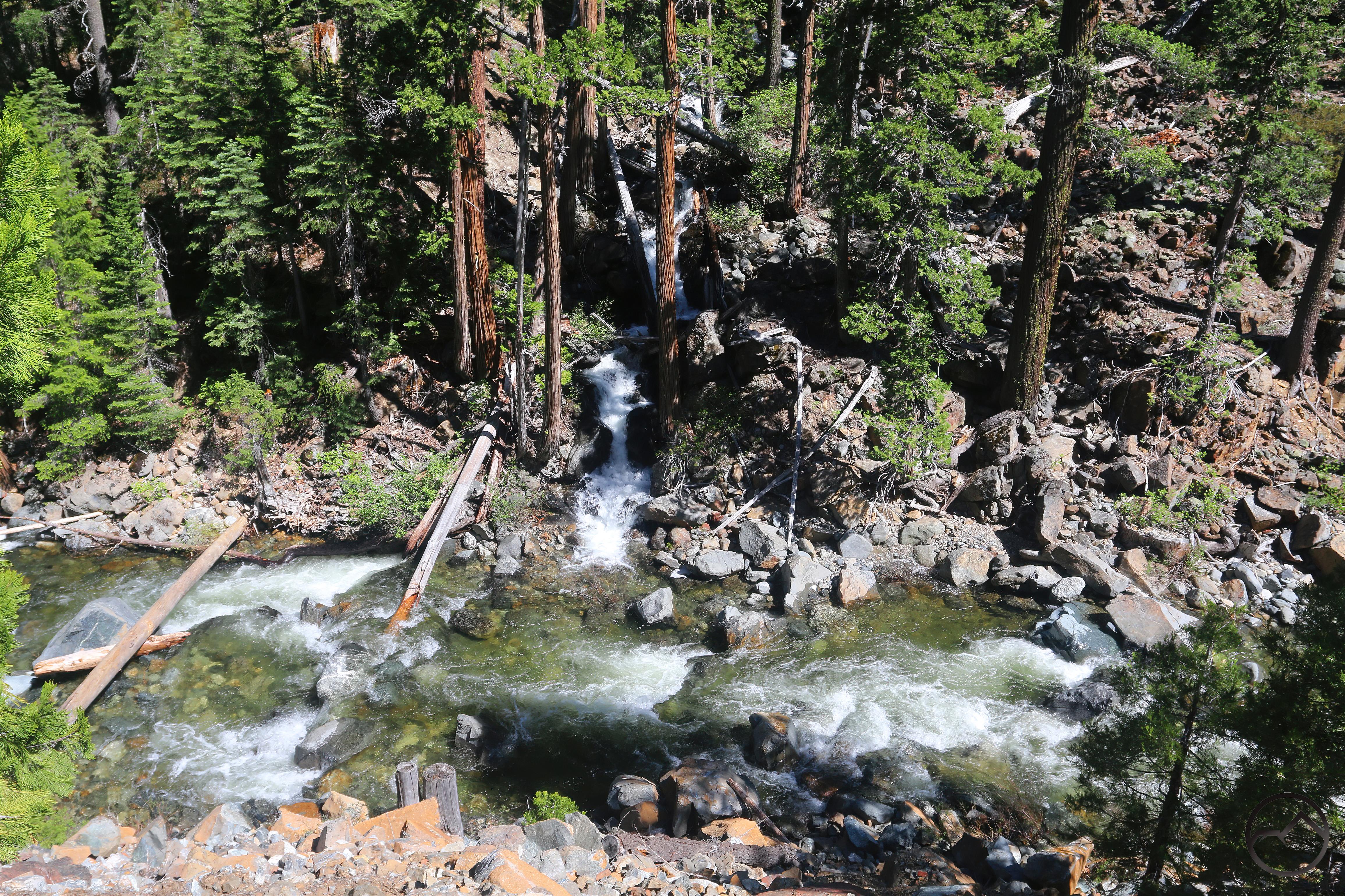
High Camp Creek surges over a series of small cascades.
Just a short distance from the Cement Bluff, High Camp Creek passes through a block of hard, seemingly erosion-resistant cement. This is the easiest of the riparian formations to access, since it is located right on Parks Creek Road just west of Deadfall Meadow. Here the creek pours over a trio of small cataracts formed by low ledges of cement. Potholes, likely formed by rocks being dislodged by the water are found in the cement.
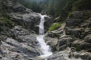
The middle cascade on High Camp Creek is the tallest of the three.
Of the three, the middle cataract is the largest and most interesting in terms of the water feature itself. It has a nice drop of 5 feet or so. The rocky aggregate is evident between the channels of water.

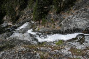
Cement and potholes are evident around the upper cataract.
However, the upper cataract has the easiest display of the cement formation. This creek is a great opportunity to hop down to the water and examine the cement formations that have created the small cataracts. The rocks really do appear to be locked in concrete but the provenance of the formation is natural and not the work of construction crews.

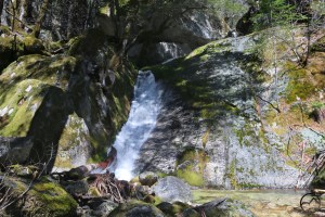
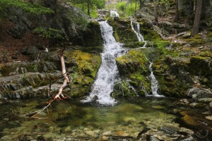
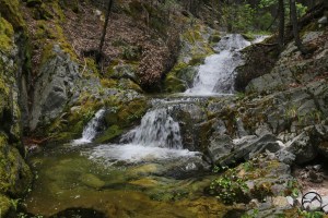
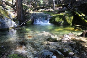
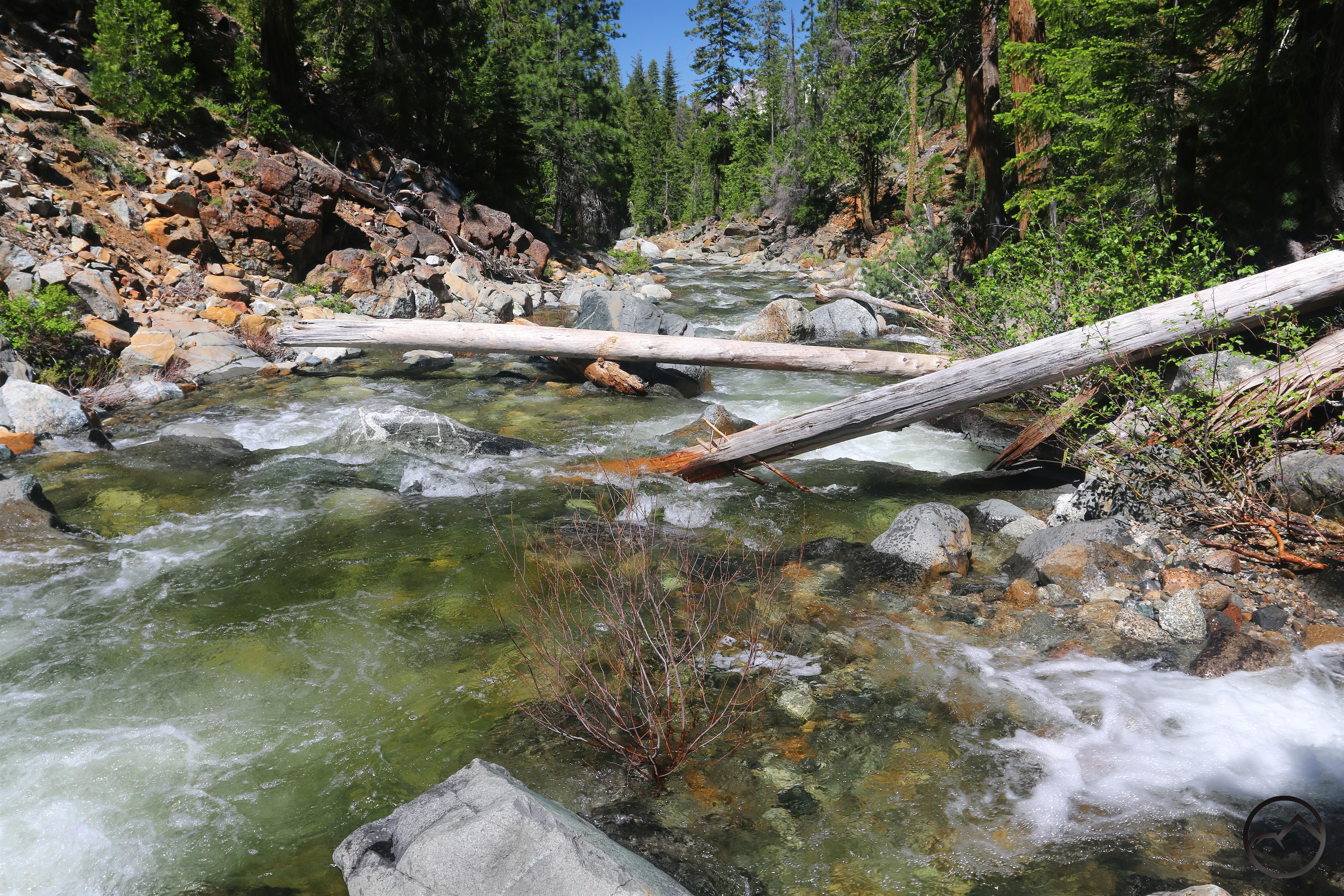
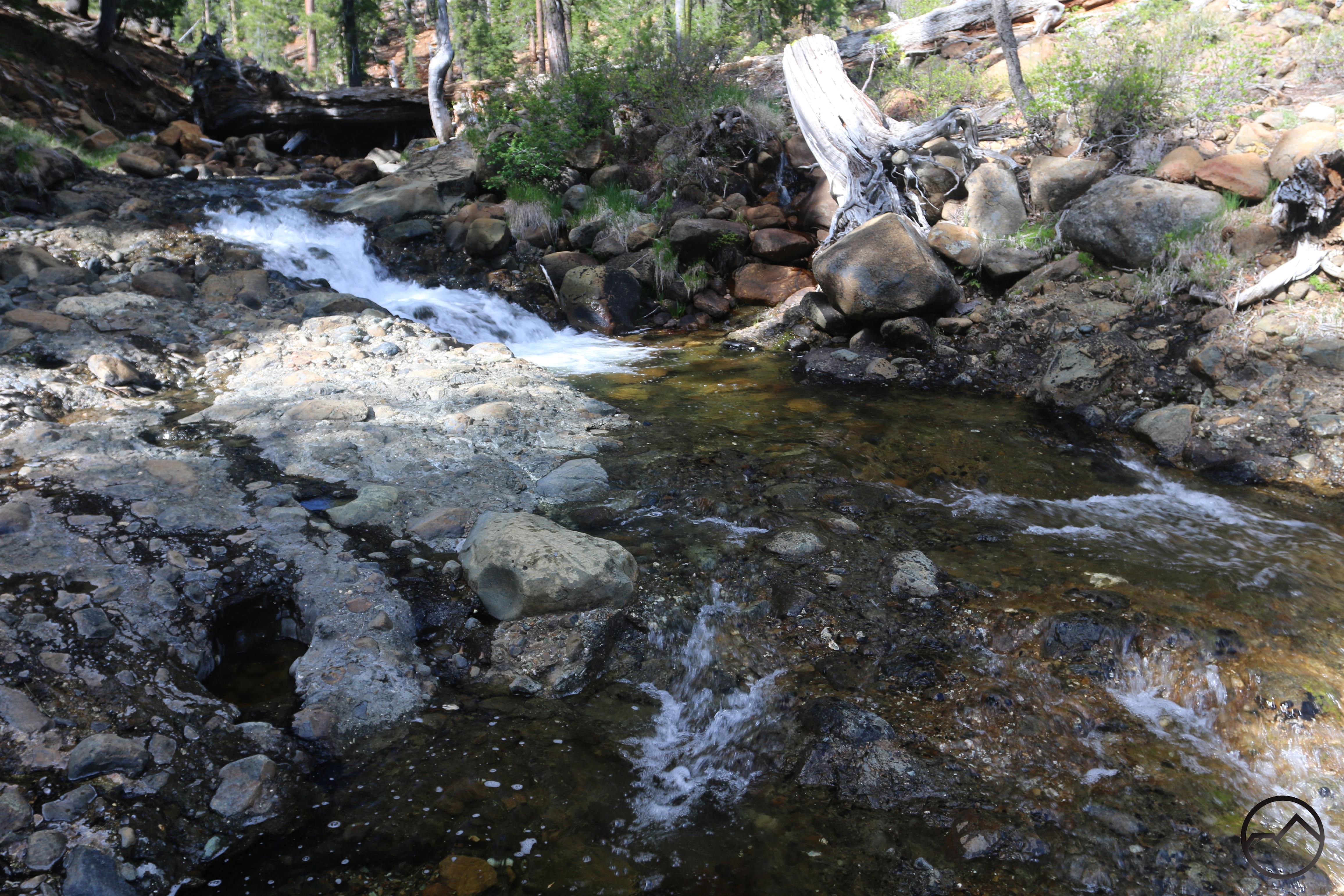
The Little Trinity River’s cement formation.
Further west, the Little Trinity River also flows over a cement formation. Here the rocks are again locked in a natural cement bed, like aggregate encased in concrete. Like High Camp Creek, a nice set of cataracts is formed by the edge of the cement area but these are not as high, amounting to only a couple of feet. The Little Trinity is a very pretty stream. It is a shame there are no trails exploring it.
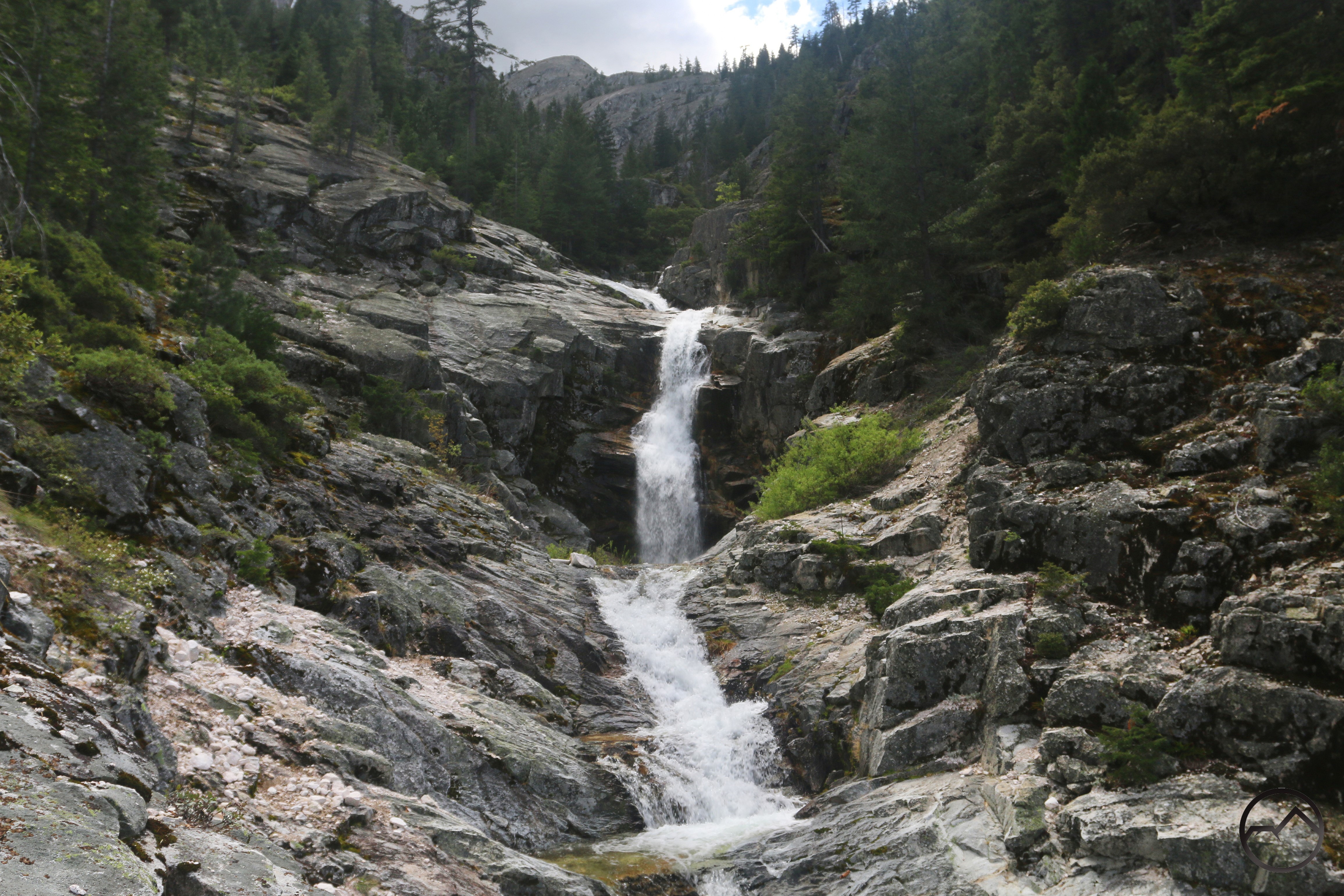
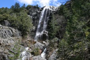
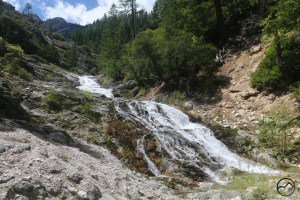
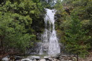
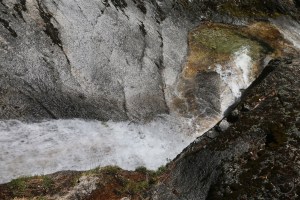
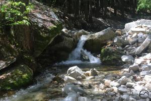
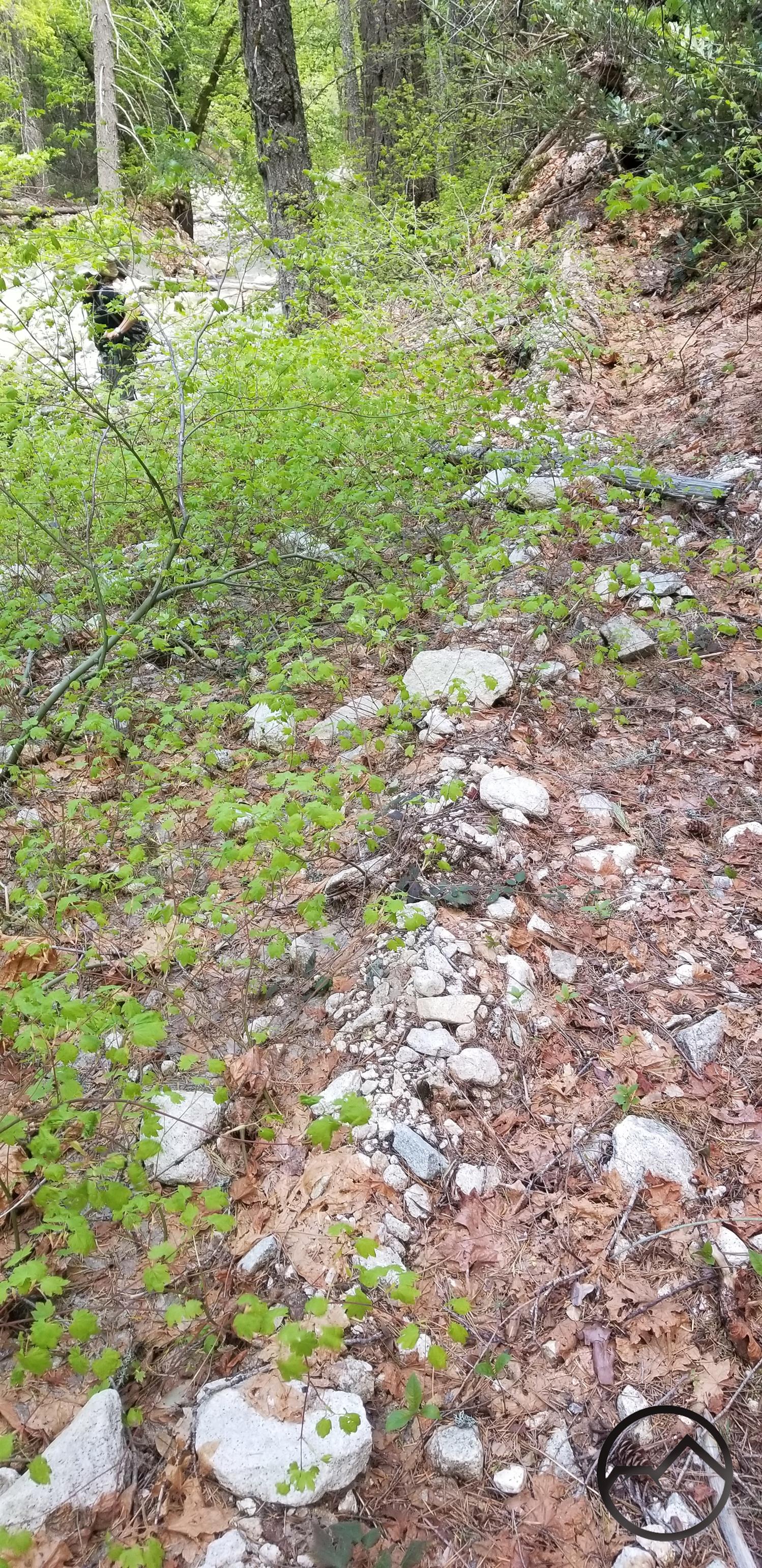
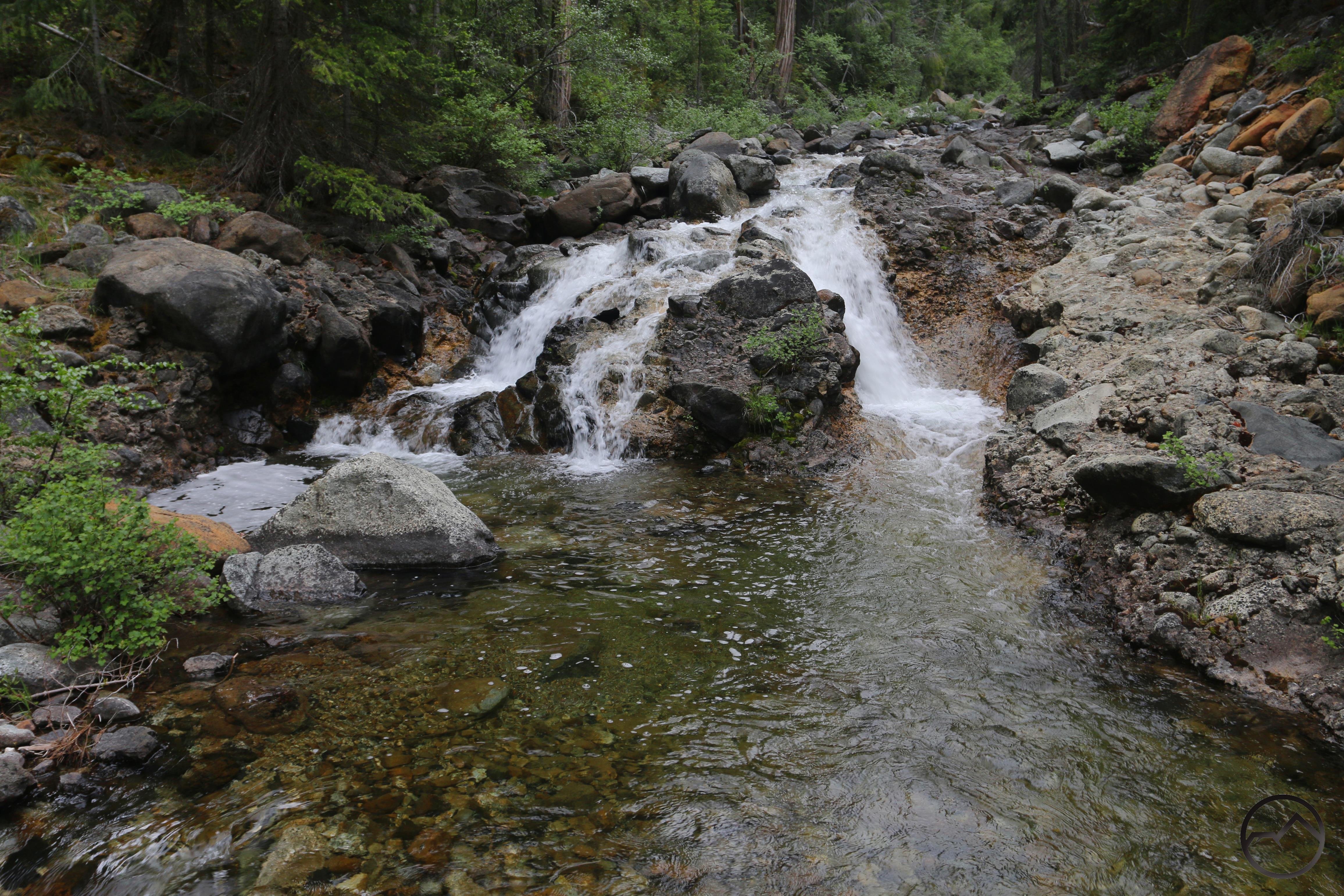
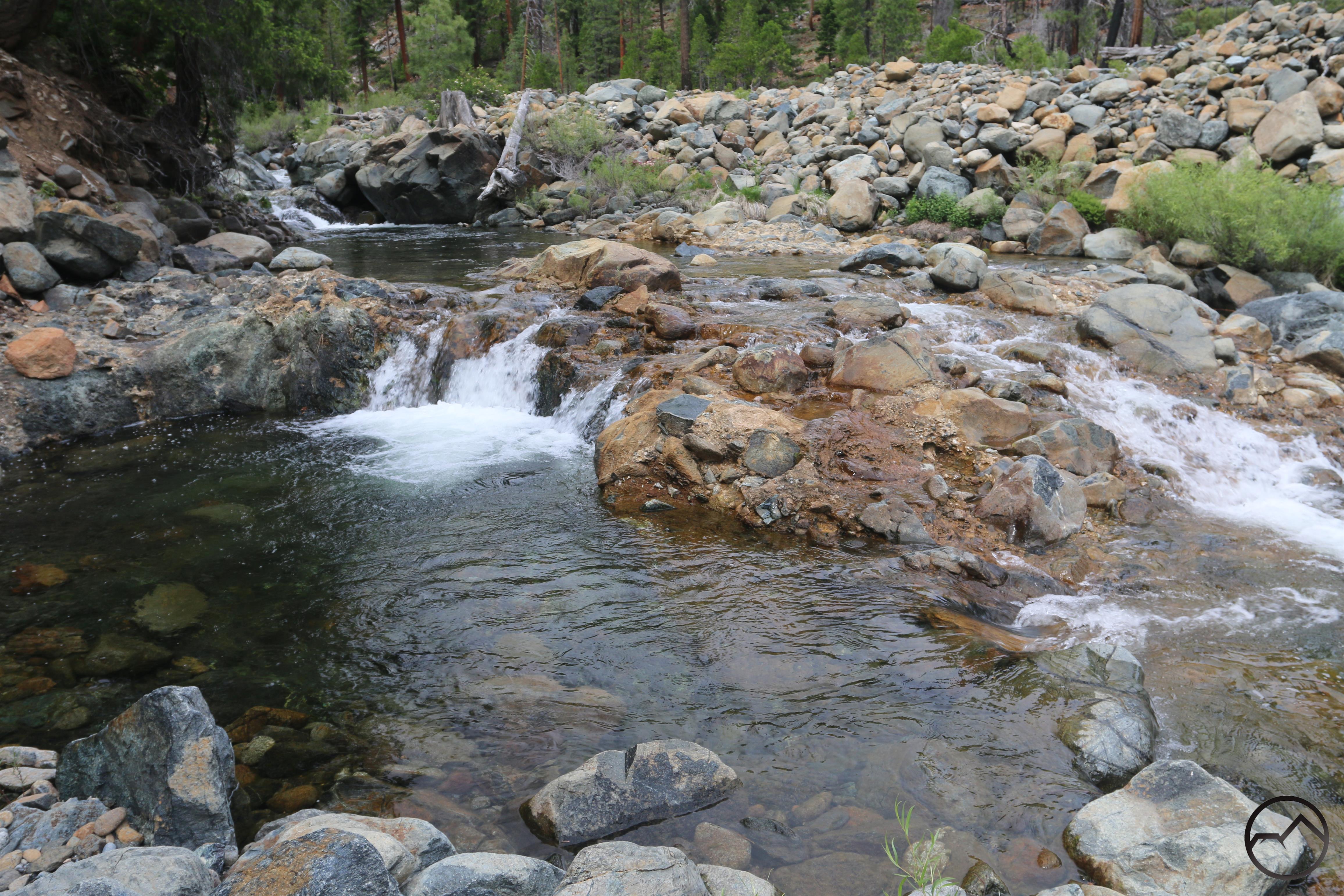
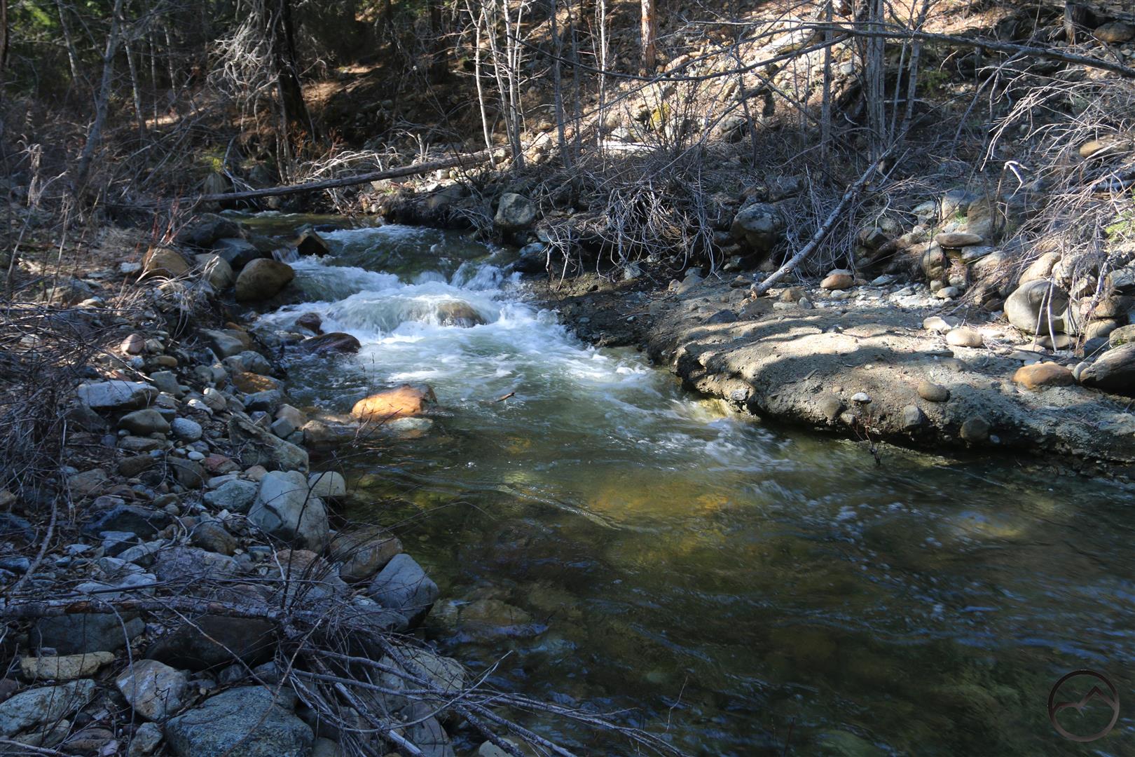
“Beargrass Falls” on Parks Creek.
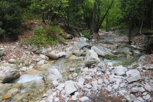
Perhaps the most scenic example of the cement formations is found along a remote section of Parks Creek, deep in its all-but-forgotten canyon. Here the creek slids over about 40 yards of sloping cement formations before tumbling over a nice 10 waterfall. Rocks are ensconced in the natural concrete along the entire slide. The waterfall is particularly interesting, splitting into two channels that demonstrate very different erosion patterns. The channel on the south side of the creek has retained its integrity and the water cascades over a series of embedded boulders. On the north side the cement has given eroded more swiftly and the water plunges into a narrow slot. In the little slot, the harder concrete layer is visible resting atop a softer, reddish layer. I dubbed the waterfall “Beargrass Falls” because of the profusion of nice beargrass blooms located nearby.
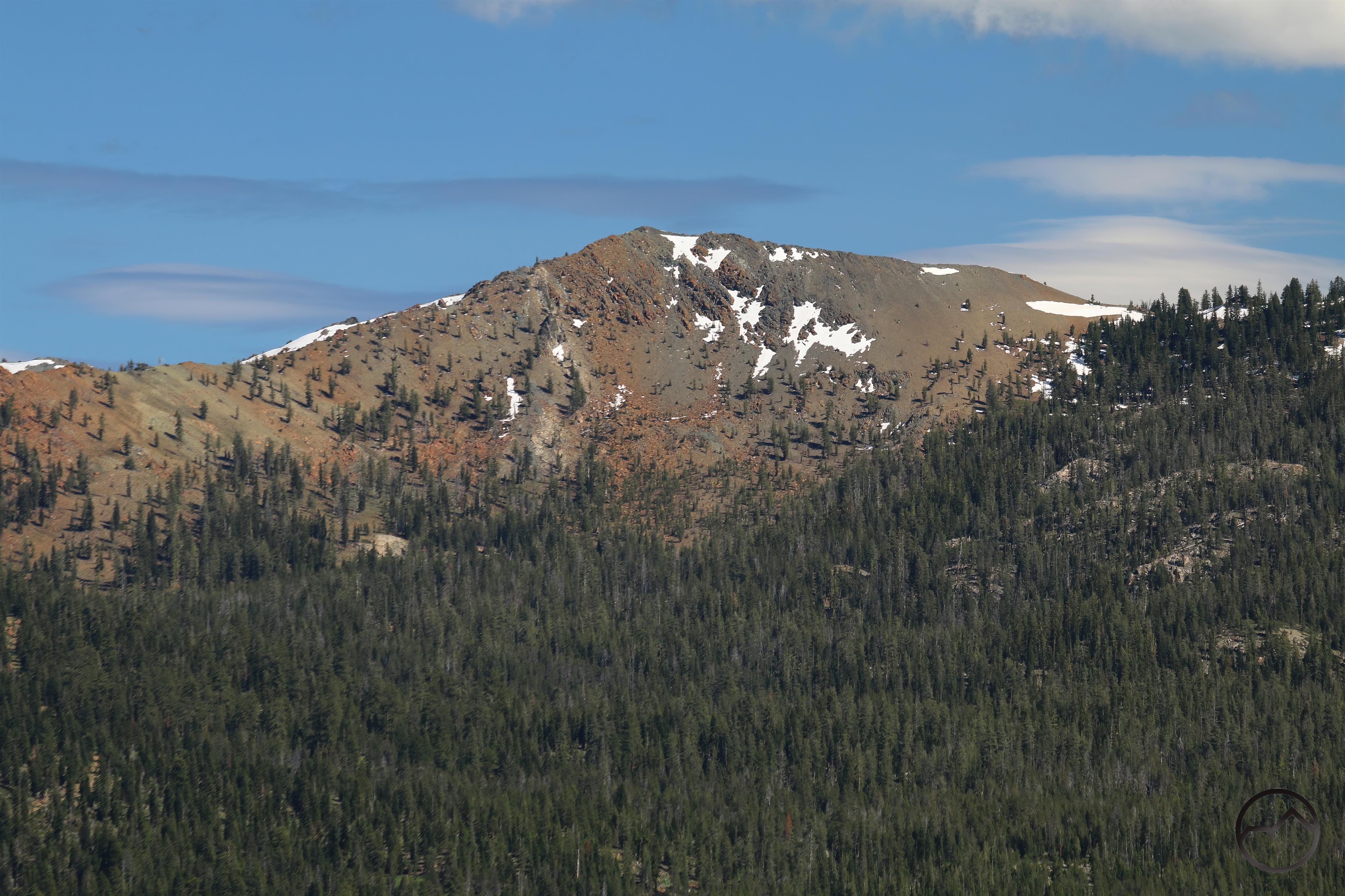
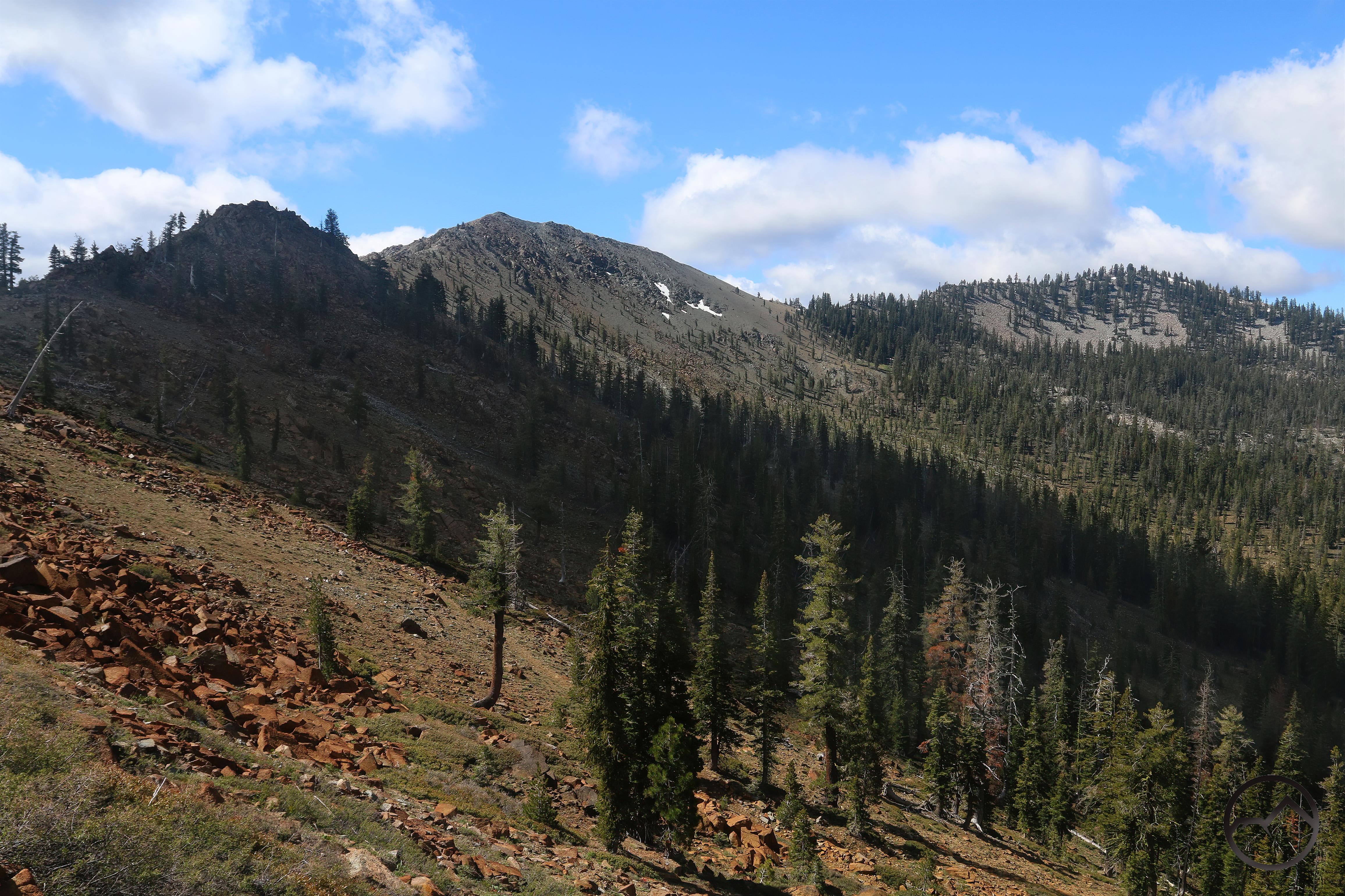
While the Scott Mountains may have the most interesting formations, there are a few good ones in the Trinity Divide as well. Needless to say, I have not thoroughly examined every inch of the canyons that permeate this range, and it is likely that I have missed several examples of this formation.

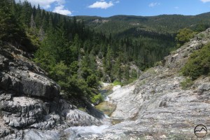
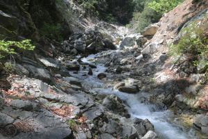
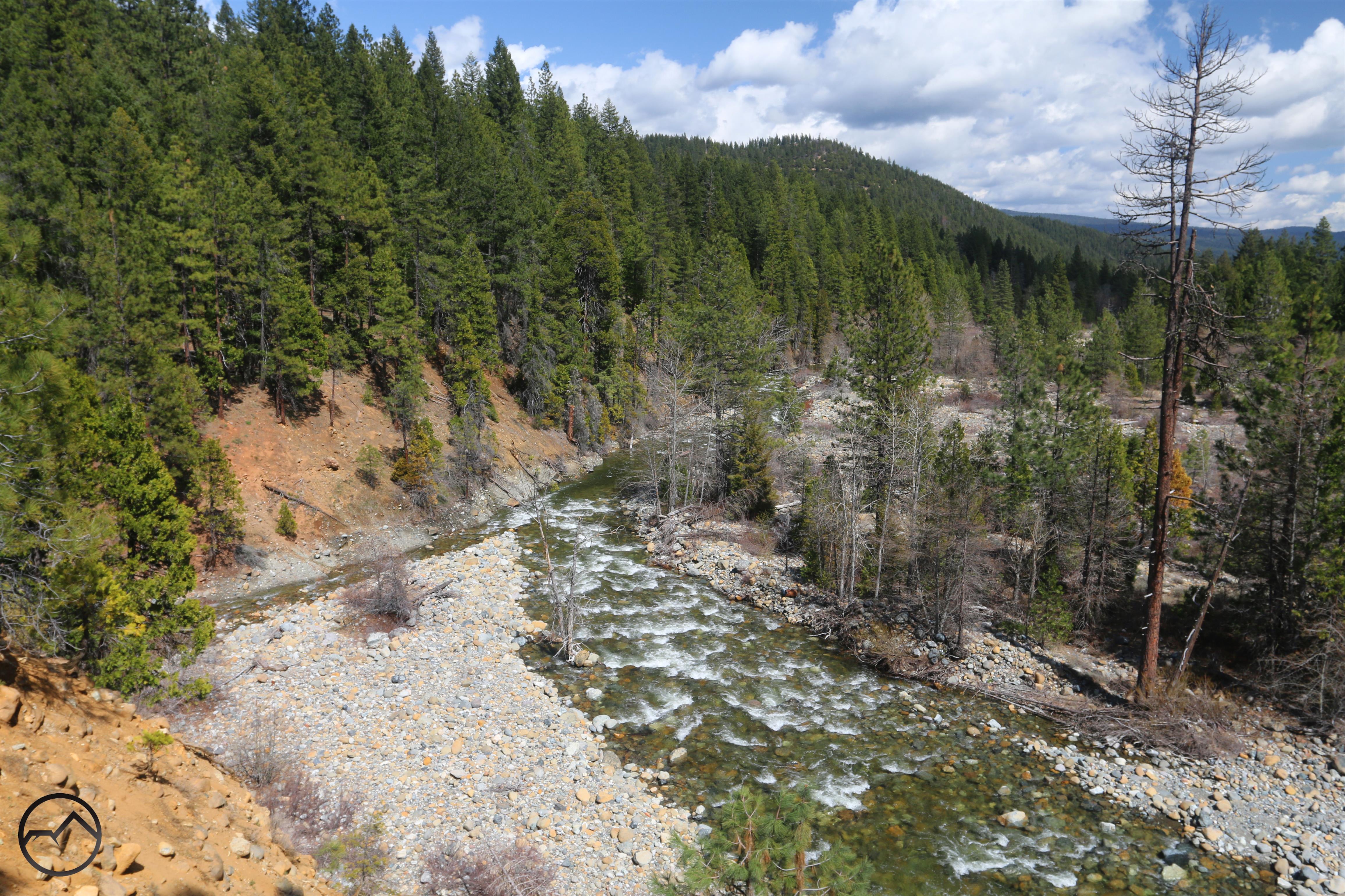
One of the more notable occurrences found in the Trinity Divide is along the North Fork of the Sacramento River. Accessed via the Sisson-Callahan Trail, the river flows through a scenic canyon full of large boulders composed of natural cement. Looking at the surrounding terrain, this band of cement seems isolated from like formations.

The North Fork formation is also noteworthy because it occurs alongside large slabs of bedrock. I am not sure how these different geologic strata fit together but the presence of both solid rock and the band of natural cement hint at some interesting events in the distant past.

Another scenic example is found on the main stem of the Sacramento River at the confluence with Deer Creek. Here a high bluff is formed of loose rock pressed together inside a sandy mixture. While this does exhibit similarities to the other formations, it is more akin to the Cement Bluff, where the rocks are fixed in the sand but are looser than those found along the creeks. It is possible these formations are unrelated but that does seem unlikely to me. Read more about this area here.

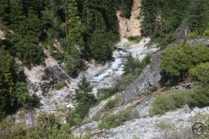
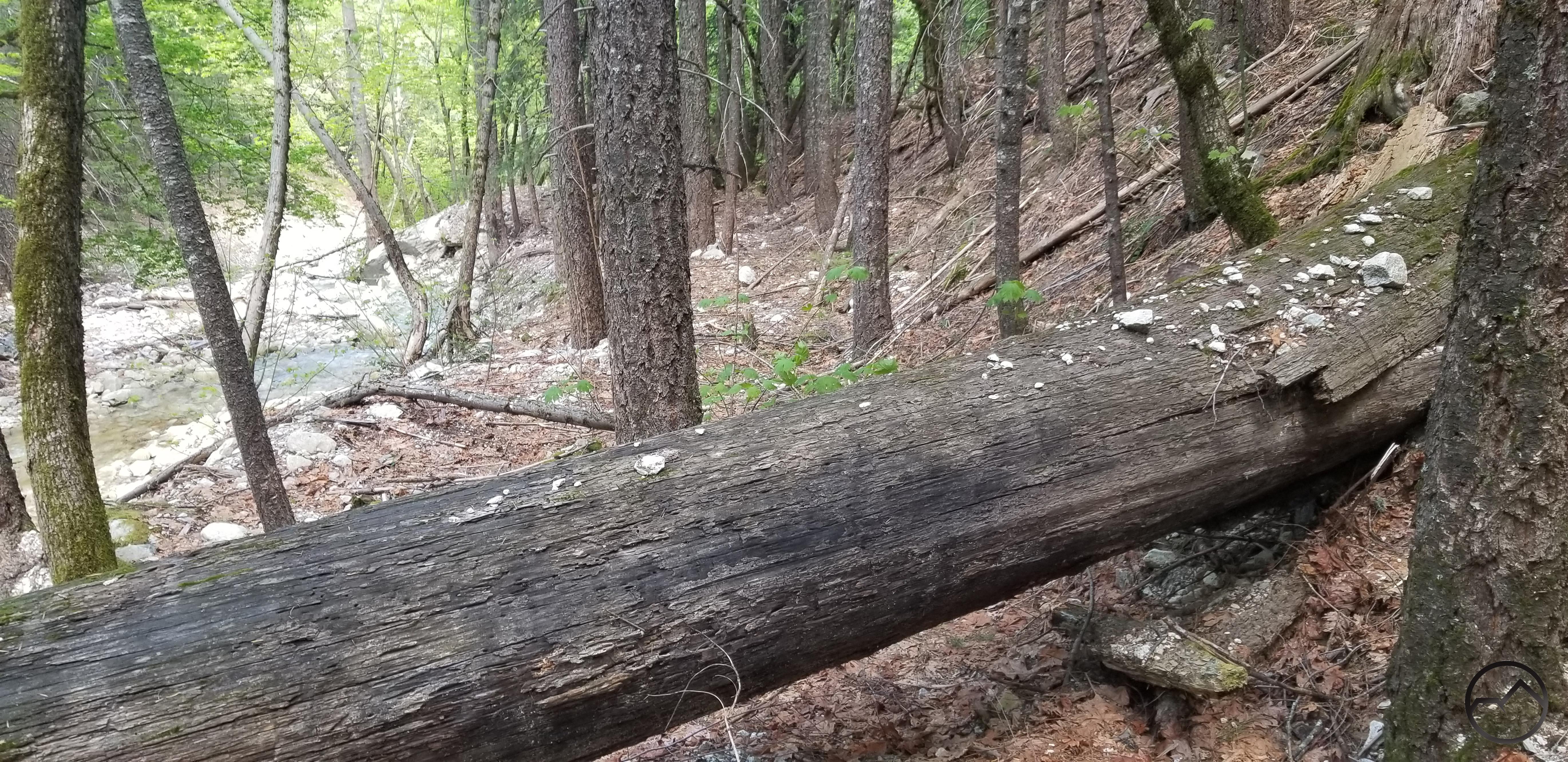
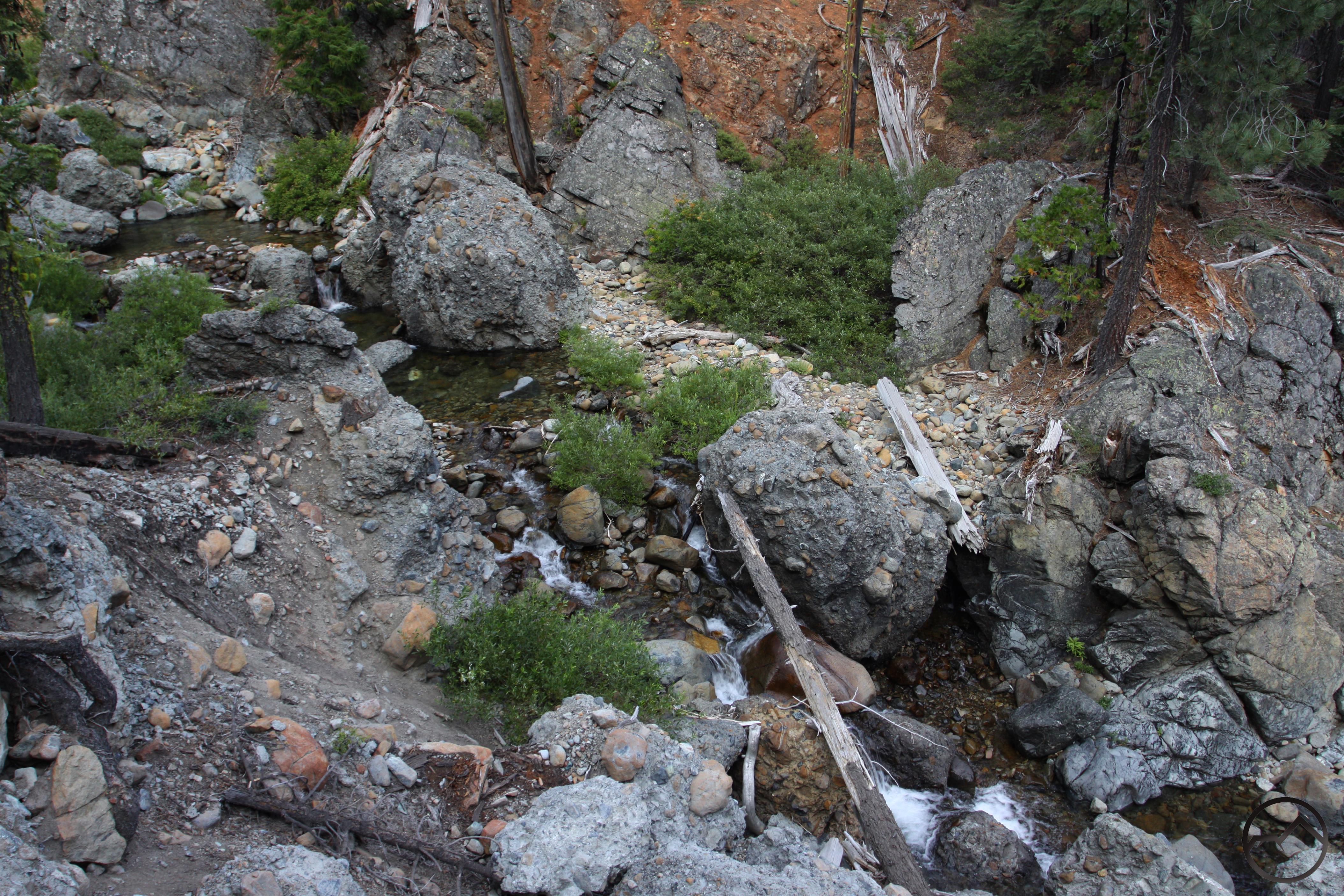
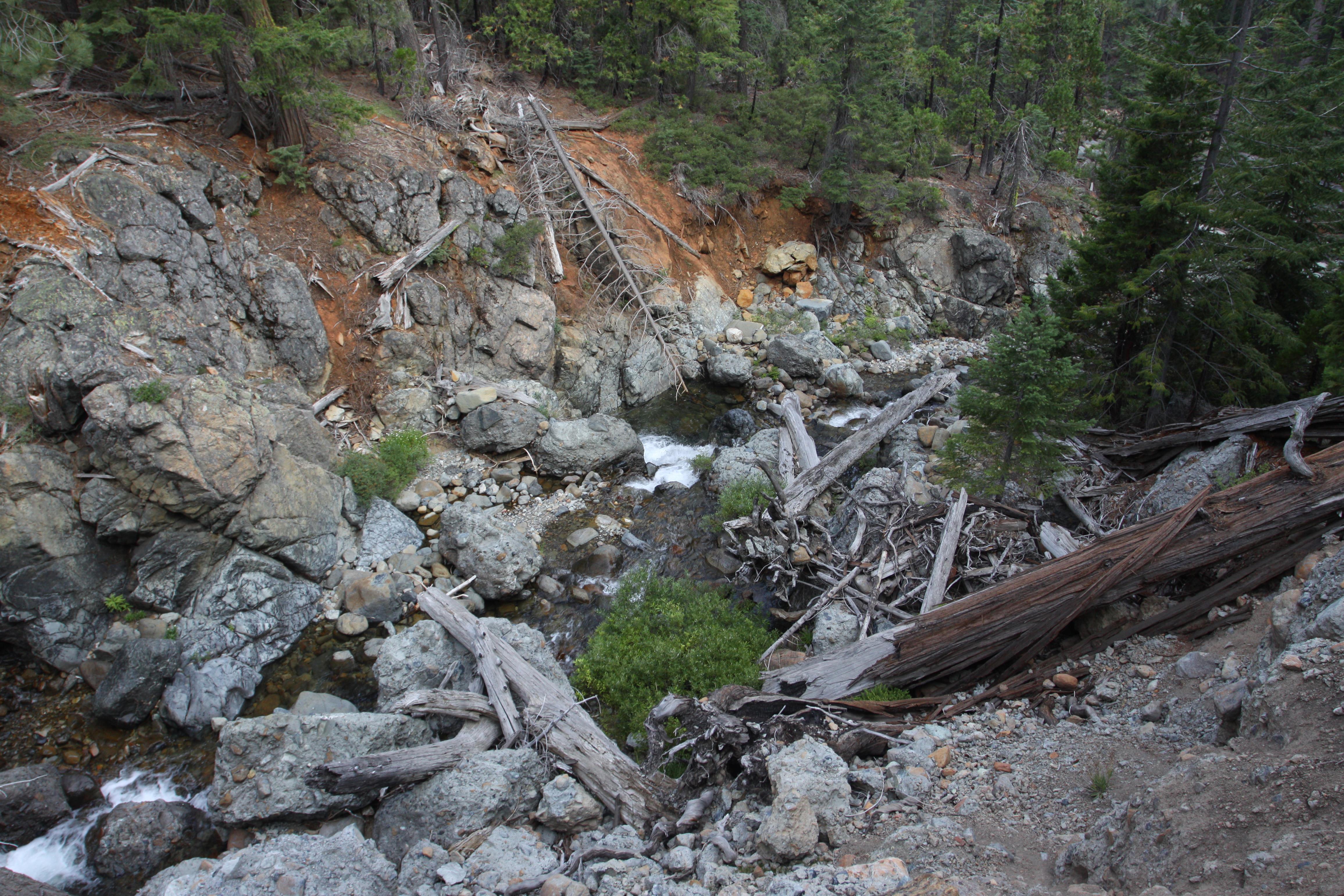
Deer Creek flows through a small cement gorge. Note the creek bank on the right.
Not too far up Deer Creek from the confluence with the Sacramento, Deer Creek passes through another cement formation, this time in the form of a small gorge. As the creek cascades down some short rapids, it enters a surprisingly deep gorge composed of more natural cement. There is not much exposed but the formation is evident if you work down to the water’s edge. Though it lacks the drama of some of the other examples, it is still a site worth mentioning when tabulating all the occurrences of the this type of formation.
I should note that the Scott Mountains continue west of Highway 3 into the Trinity Alps Wilderness. There, near beautiful East Boulder Lake, is the massive Cement Bank formation, which is similar to the Cement Bluff, but on an even larger scale. It is one more example of the unusual cement formations that are found in the Trinity Divide and Scott Mountains.
While none of these cement formations are very well known, they are nonetheless quite fascinating and, in many cases, very scenic. The Cement Bluff and “Beargrass Falls” in particular are exemplary specimens of their kind. Access to these varies from roadside to remote but all make great outings for exploration and adventure and are one more, unsung, feature that makes exploring the Mount Shasta area so rewarding!