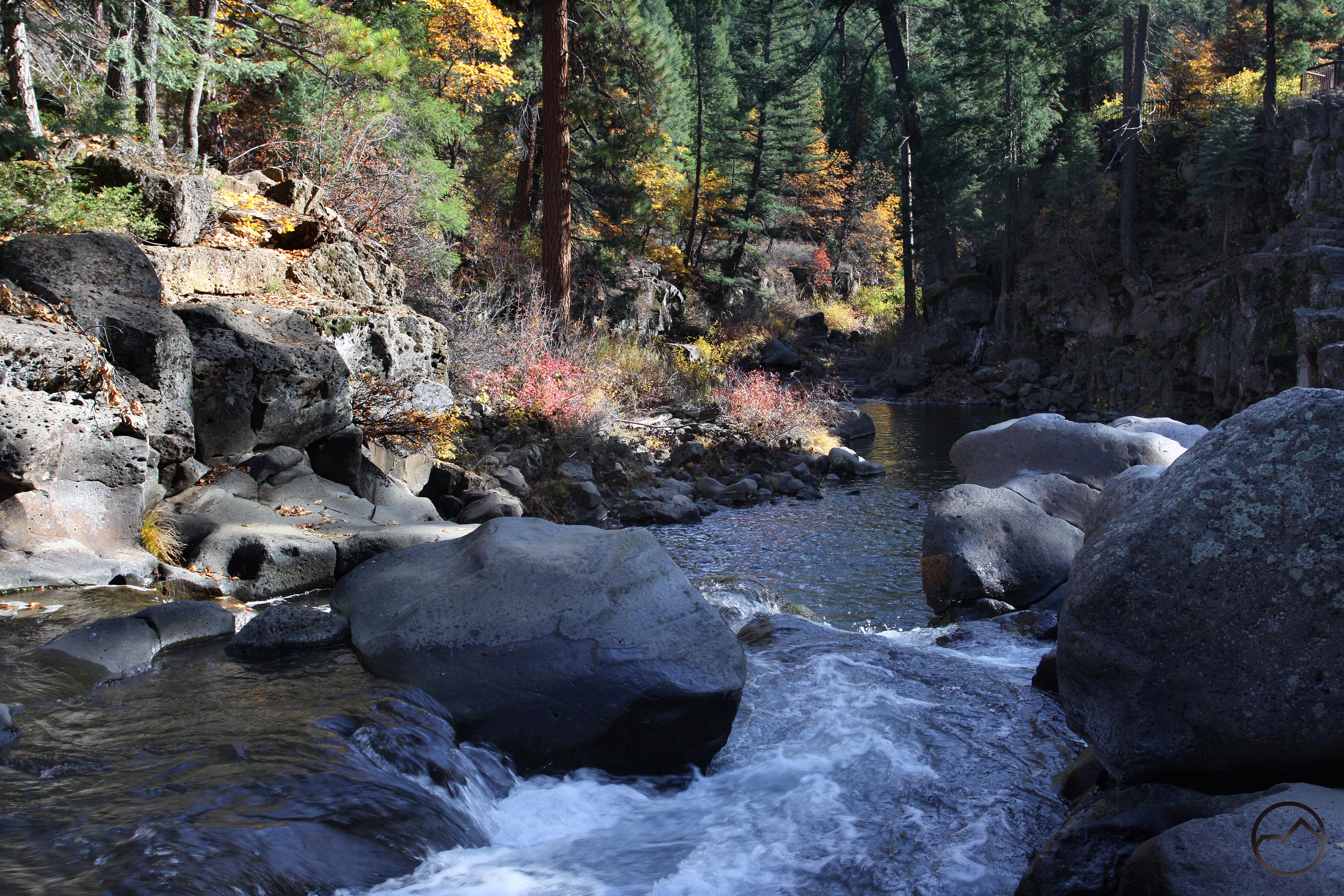
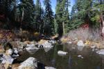
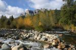
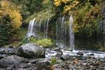
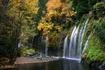
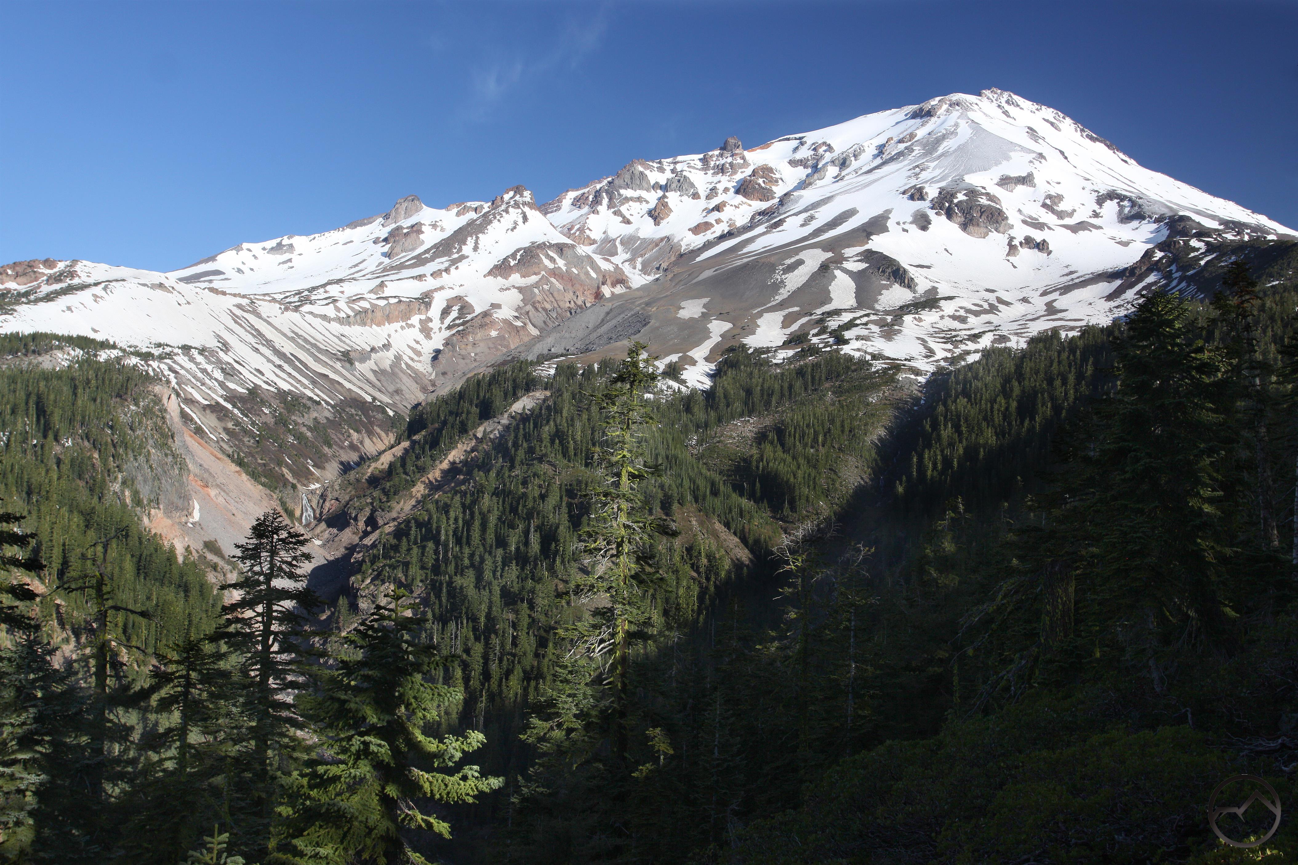
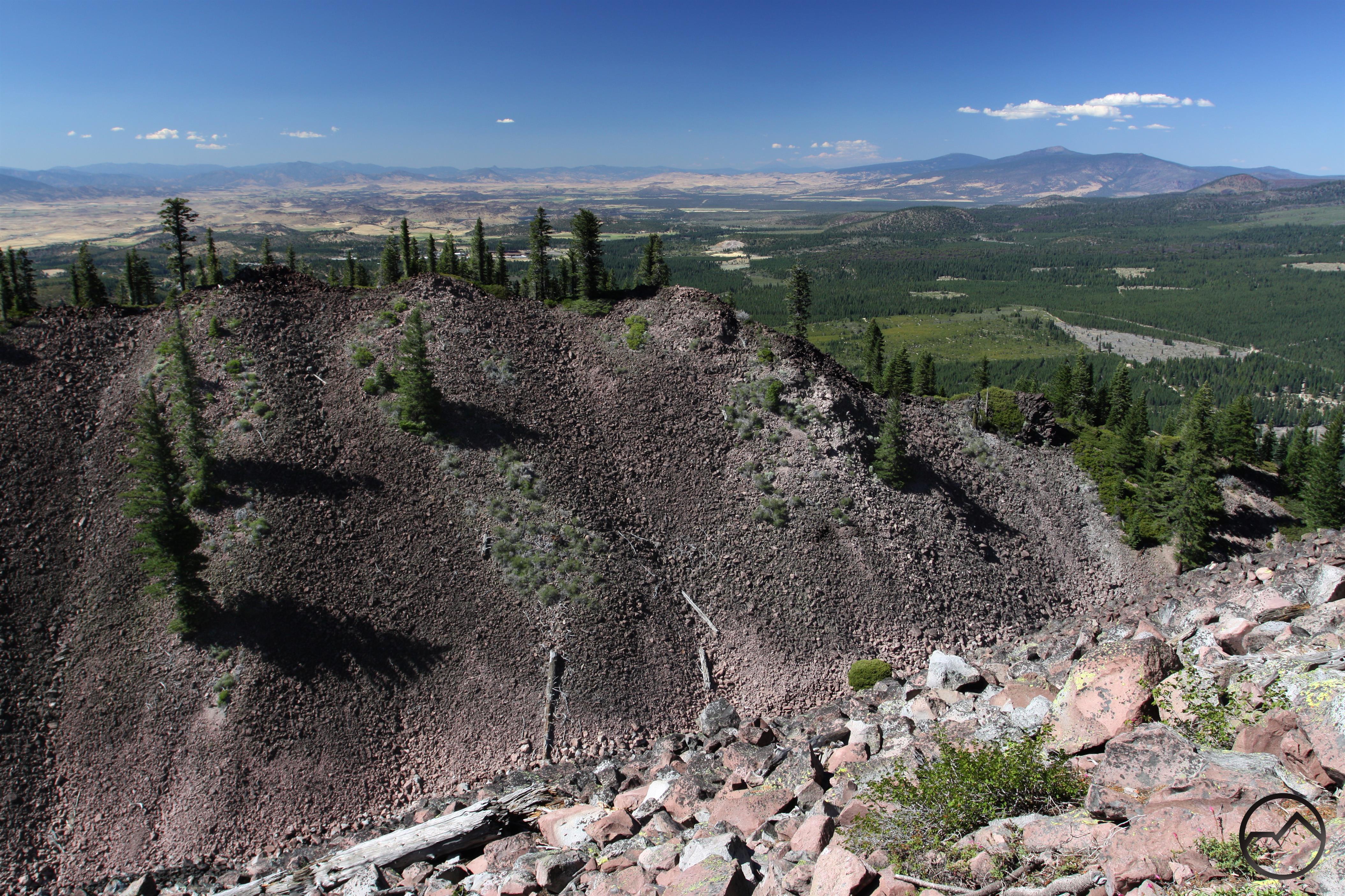
The trail to Whitney Falls has consistently been the most popular trail on Mount Shasta that does not begin on the Everitt Memorial Highway. Compared to the other backcountry trailheads, it has a short and simple drive that is easy to reach off of the highway. It is a beautiful hike through remote territory and ends at an incredible overlook near awesome Whitney Falls. It is no wonder the trail is one of the most frequently listed trails in hiking and waterfall guides. Unfortunately the trail has suffered significantly since it was first damaged in a major glacial outburst debris flow in 1997. The Forest Service effectively condemned the trail and went unmaintained for nearly two decades. Hikers still wanted to reach the falls and a series of use trails were beaten into the loose volcanic soil. It was not until earlier this year that the Mount Shasta Trails Association worked hard to reestablish the trail and make it a functional, easy-to-follow route again. Their efforts were much appreciated and it seemed that the Whitney Falls Trail was going to be restored to its former condition. While much of the original path on the west side of Bolam Cree was retained, the new trail crossed over the creek and traveled on the east side before recrossing and continuing on the west.
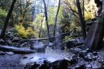
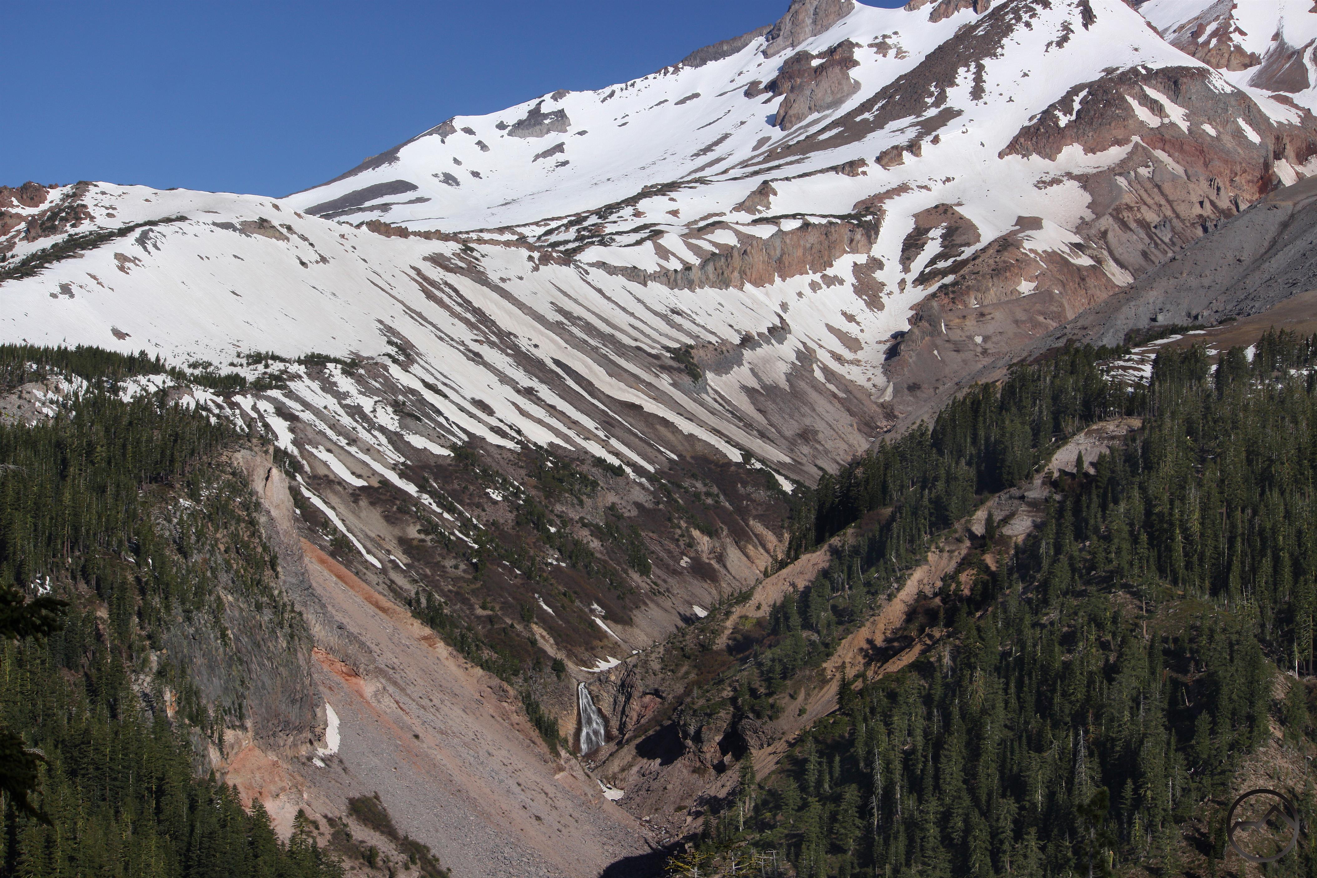
Ironically, no sooner had it been rebuilt that there was a major flow of some type through Bolam Creek that wiped out the critical first crossing point. Where the original crossing required a six foot descent down a sloping grade to the creek it would now take a 12 to 15 foot drop down a sheer, loose, boulder-filled wall. This is not only completely unrealistic, but also a dangerous move to attempt. The second crossing survived the heavy flow thanks to a series of large boulders in the creek bed that buttressed the walls of the creek’s channel. For those looking to hike the Whitney Falls Trail now, an alternate route has been established. It crosses the creek much earlier than before, and travels through Bolam Creek’s channel for extended periods of time before climbing up onto the east side and making its way to the still extant second crossing. This route is poorly marked and quite dangerous in high water situations. It is completely unrealistic as a long term route for the trail.

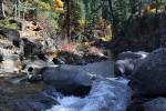
The crossing in pre-washout condition. Note the circled rocks for reference. The channel is not too deep and the walls have a gentle slopes, making it easier to climb. This is not a great shot of the crossing but it is the best I have before the conditions were altered.

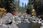
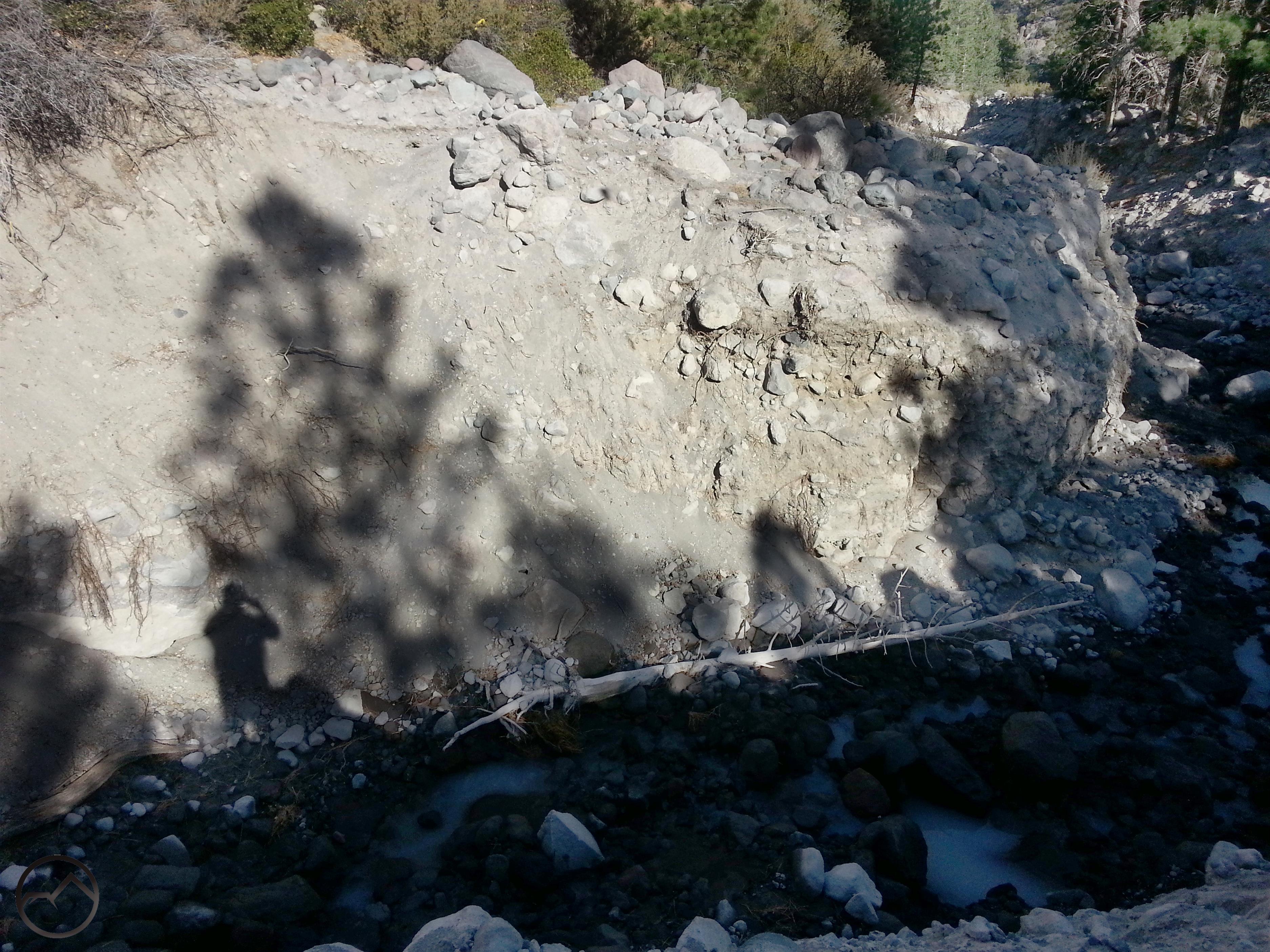
Here is a view of the crossing after the washout. Different perspective but taken from the same spot. Note the circled rocks for reference.
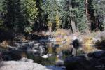
The crossing from the opposite side. Obviously this is not a viable option for the trail anymore. The walls of the channel are loose and unclimbable.
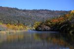
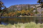
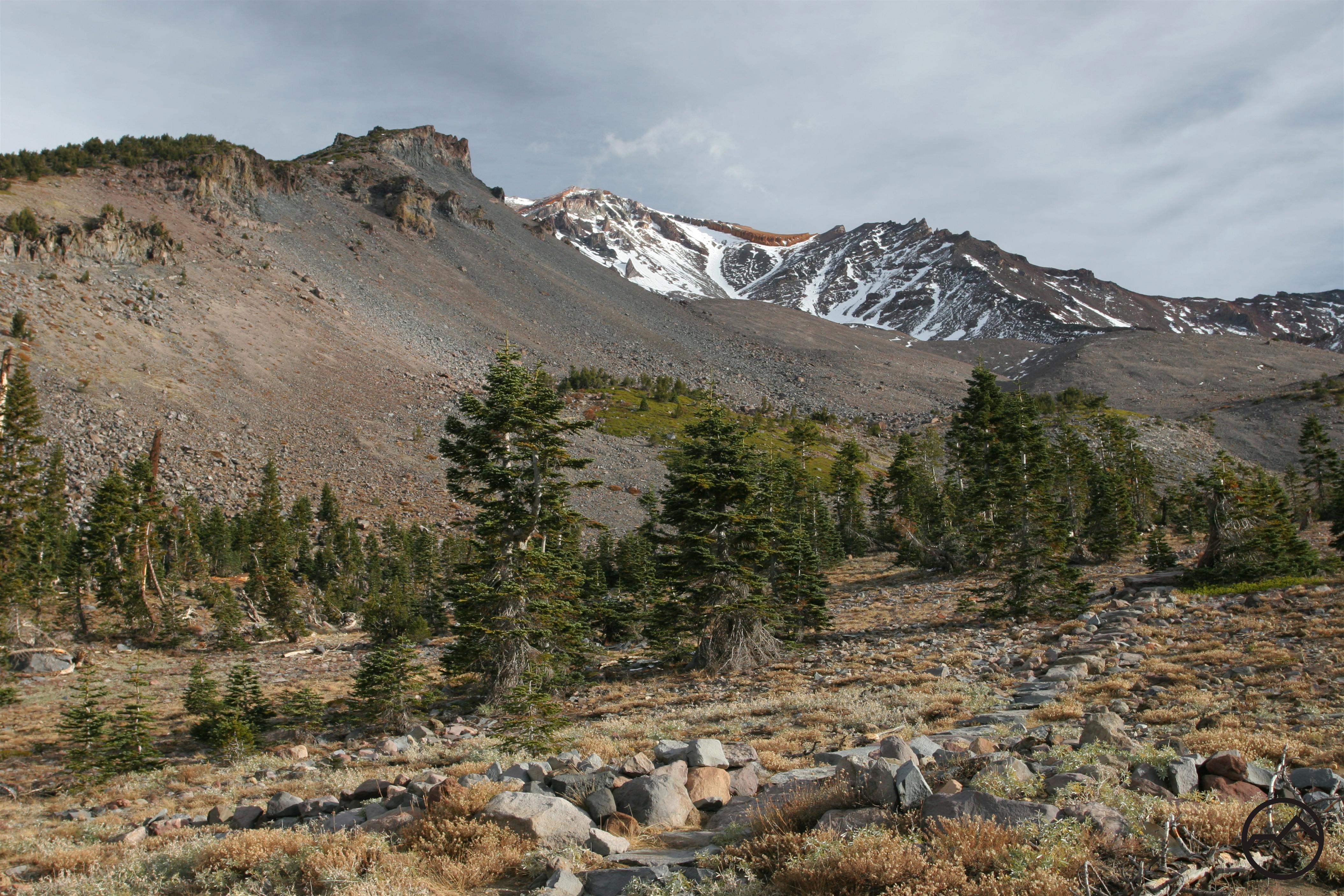
Thankfully, there is another option for restoring the Whitney Falls Trail. The original route of the trail (view it here) followed the current path but at the point where the new route made the crossing over Bolam Creek, the trail climbed above the channel and traveled along the high, brush covered divide between Bolam and Whitney Creeks. This route had staggering views of Mount Shasta. The views were unique among the trails on the mountain since it takes in the awesome north side and includes the Bolam and Whitney Glaciers. Now the path has been abandoned and much of the route is getting choked with overgrowth. However, the way is still easily discernible and would not require too much work to make it passable and enjoyable again. Even better, realigning the trail along this original route would make any crossings of Bolam Creek’s unstable channel unnecessary. I hiked this route back in 2007 and it was generally easy going in most places. I hiked it again back in September and it was in pretty rough shape and really overgrown. The last 7 years have not been kind to the original Whitney Falls Trail.
It should be noted that even though the creek crossing is gone and the original trail is overgrown, there is still a relatively easy goat trail to follow that stays on the west side of Bolam Creek and connects the sites of the first and second crossings. If the sides of the creek channel were more stable, this would make the obvious location for a new trail but the loose soil makes this a temporary route at best. The original trail, high above the creek, is still the best option for a long term route.
I am thinking that it would be a great project to get some folks with loppers out to the trail next spring and cut back the growth that has encroached on the trail. A few people, some loppers and a little motivation would be all it would take to restore the Whitney Falls Trail and make it one of the prime routes on Mount Shasta it has always been. Would anyone be interested in helping in this endeavor?