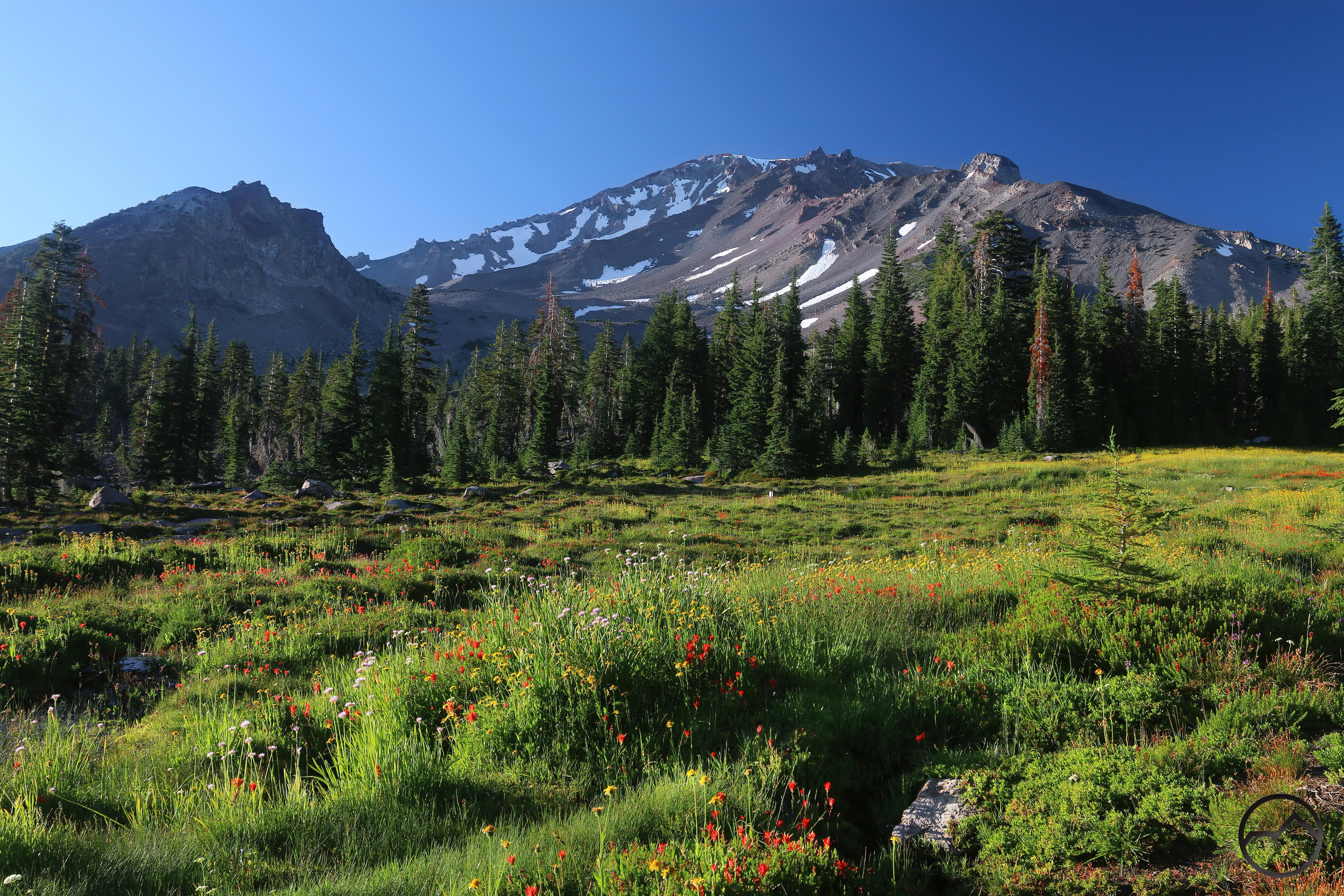
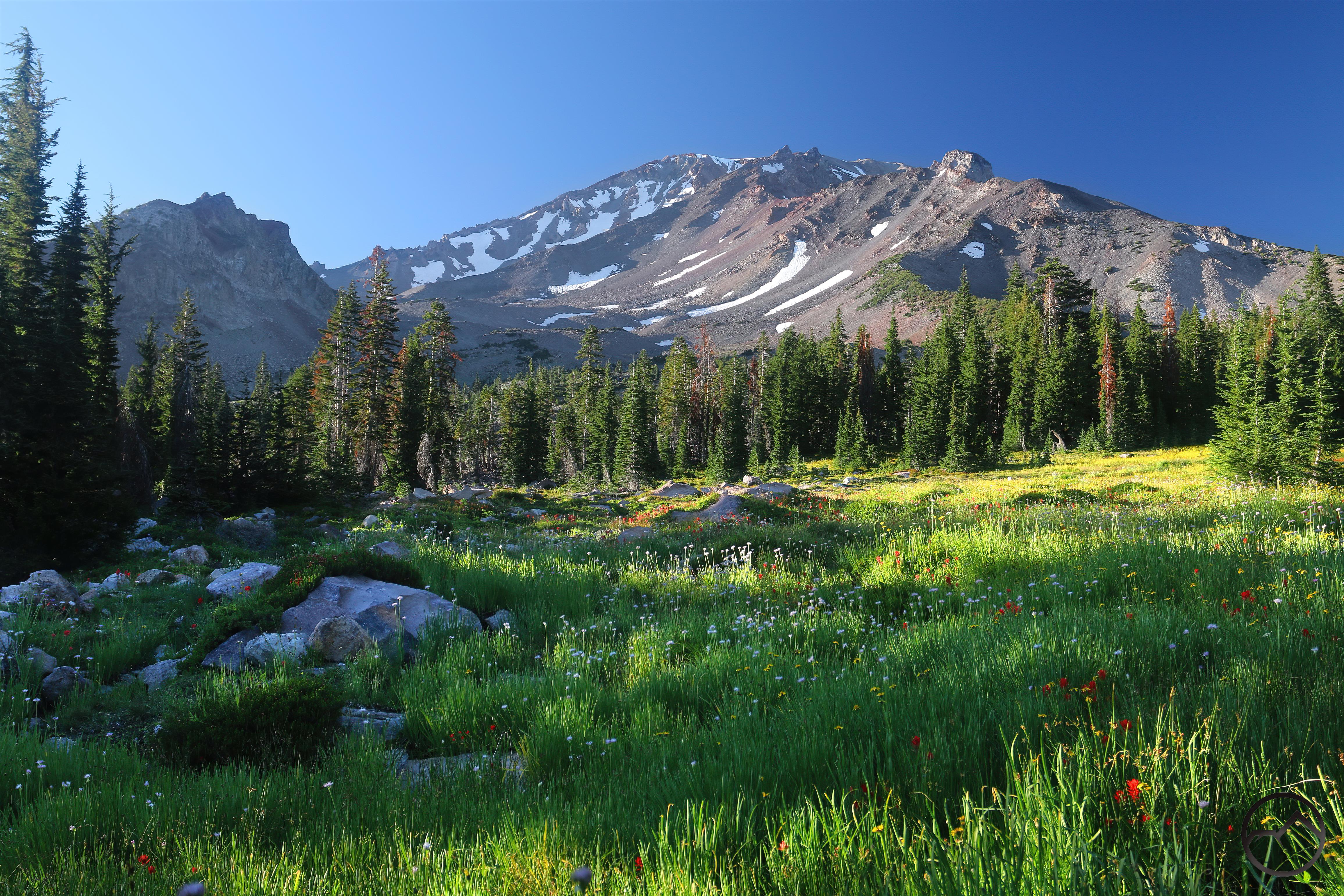
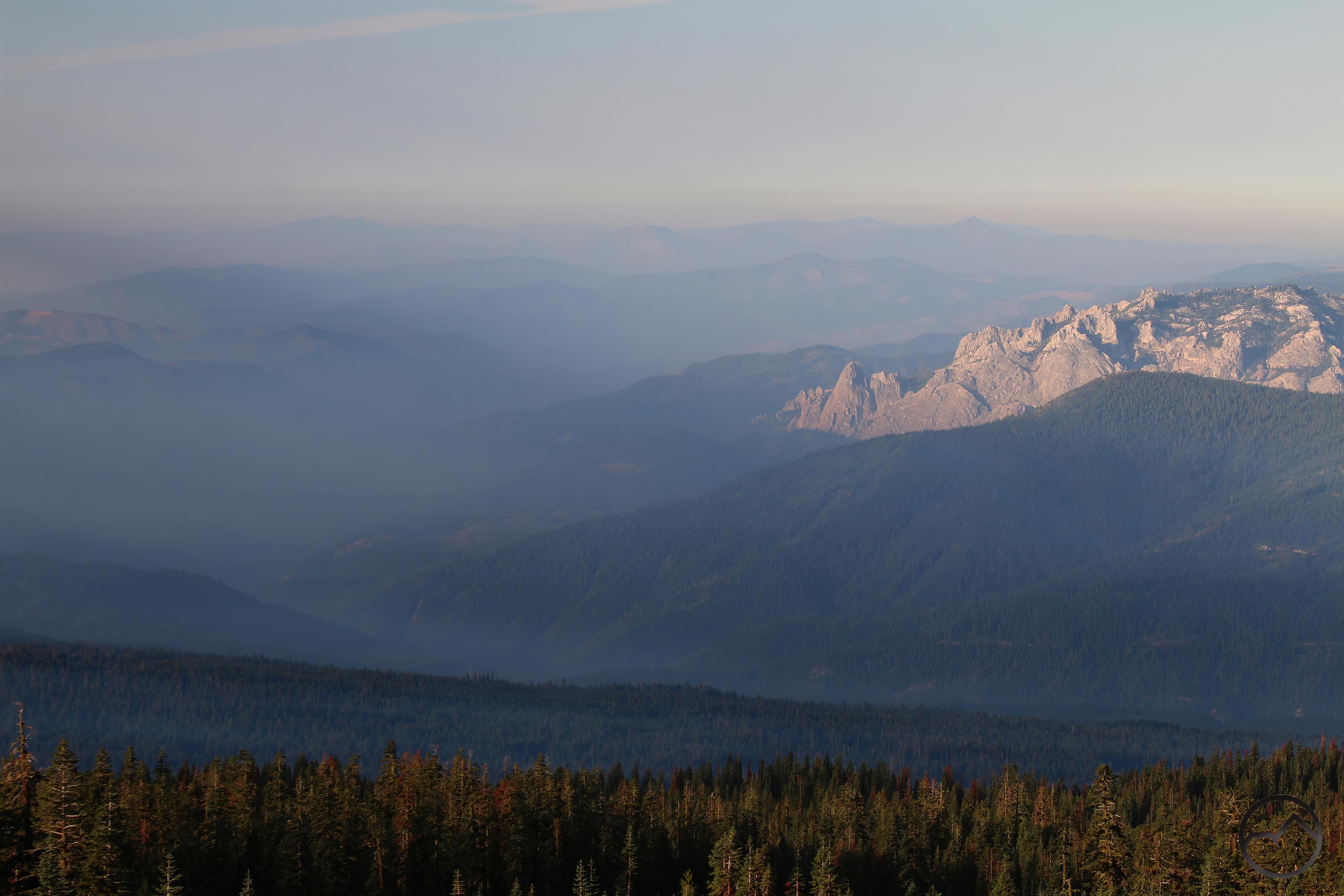
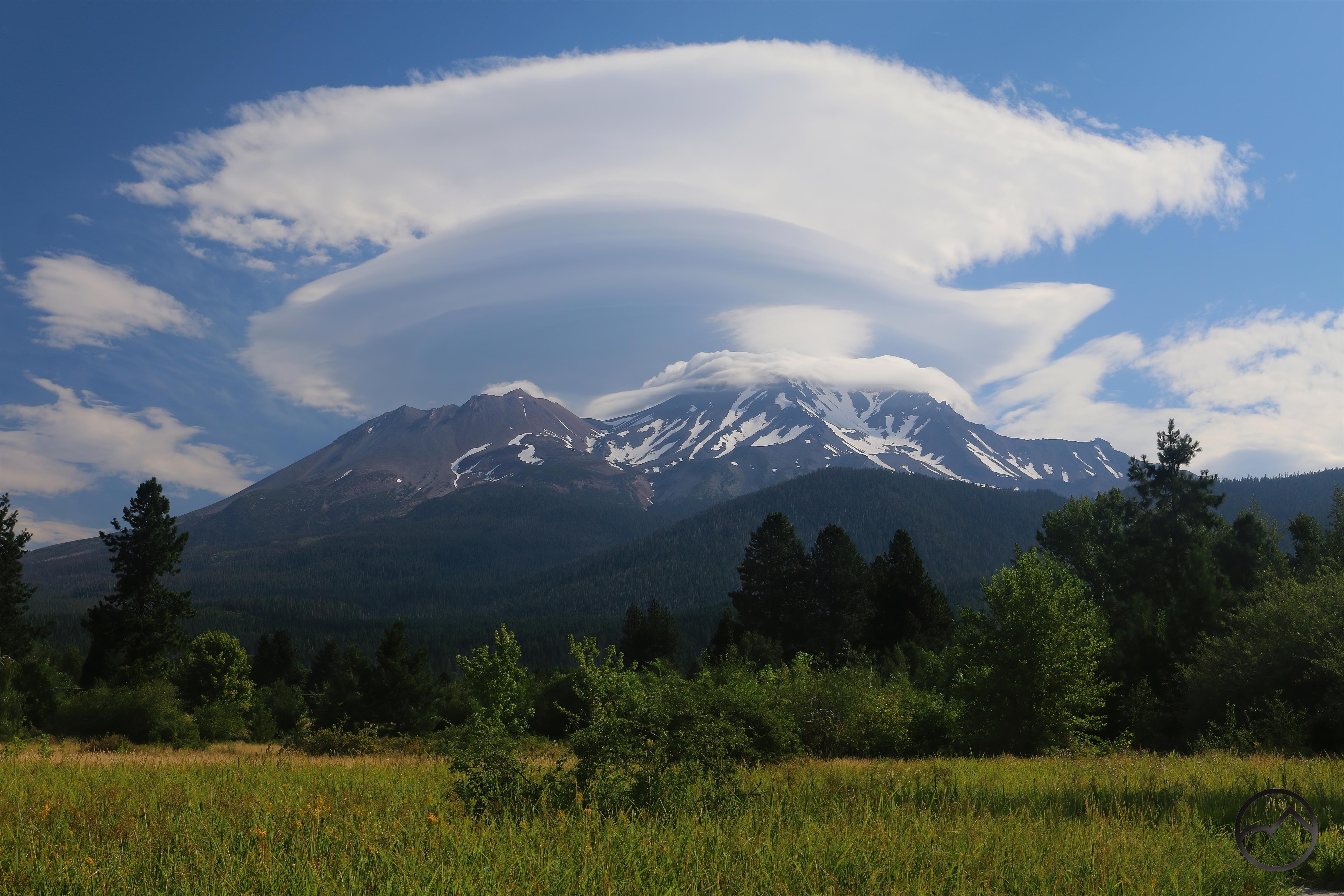
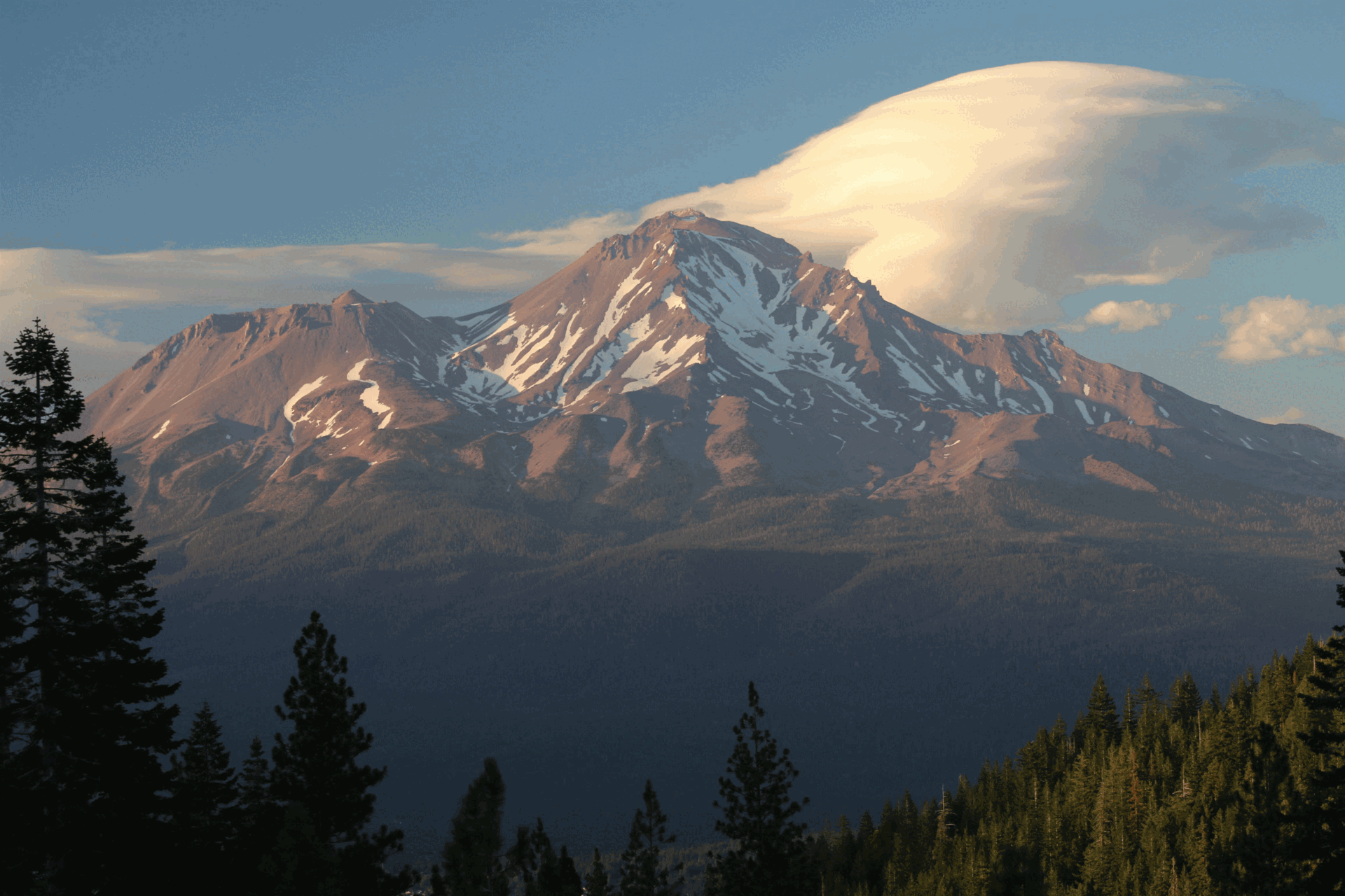
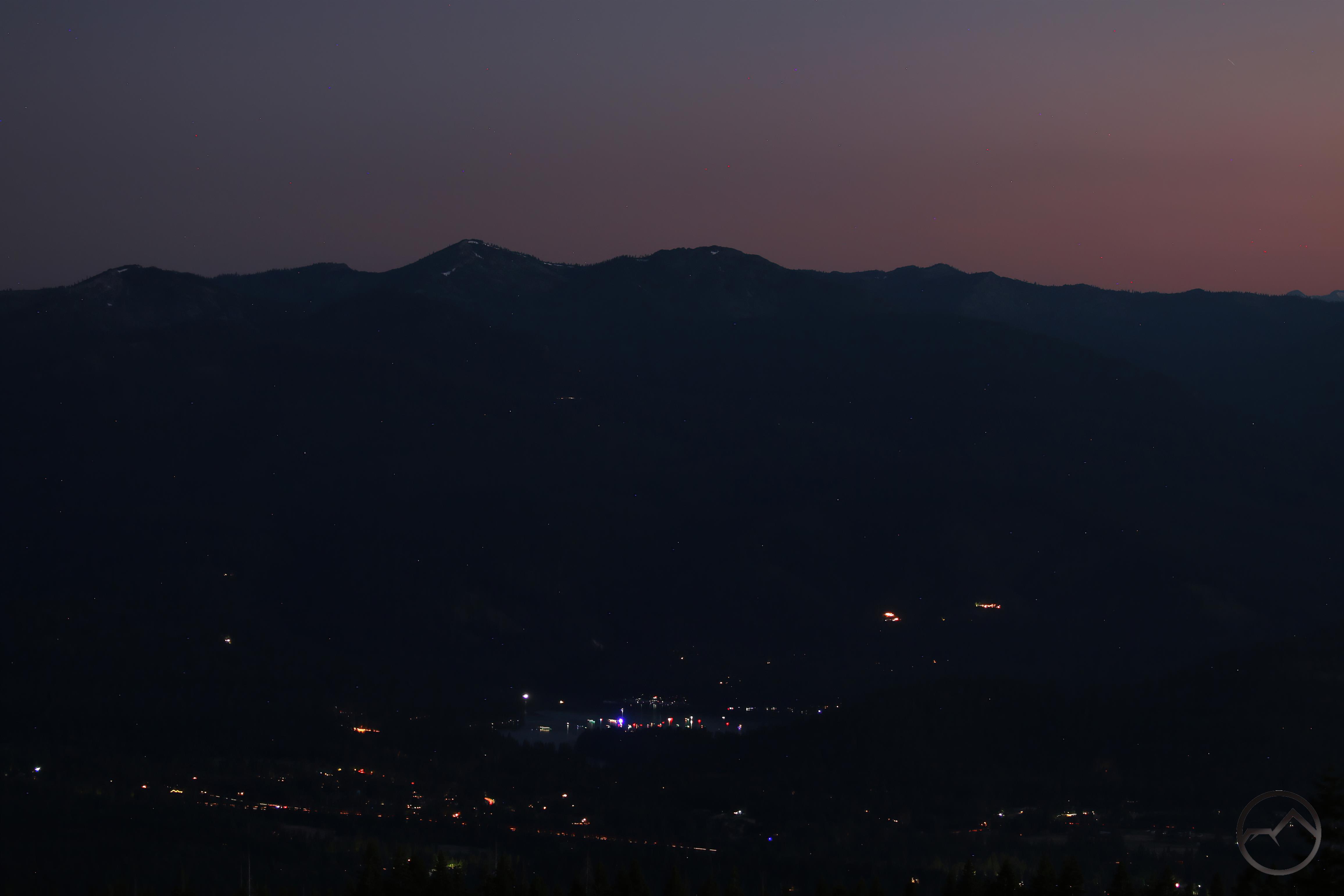
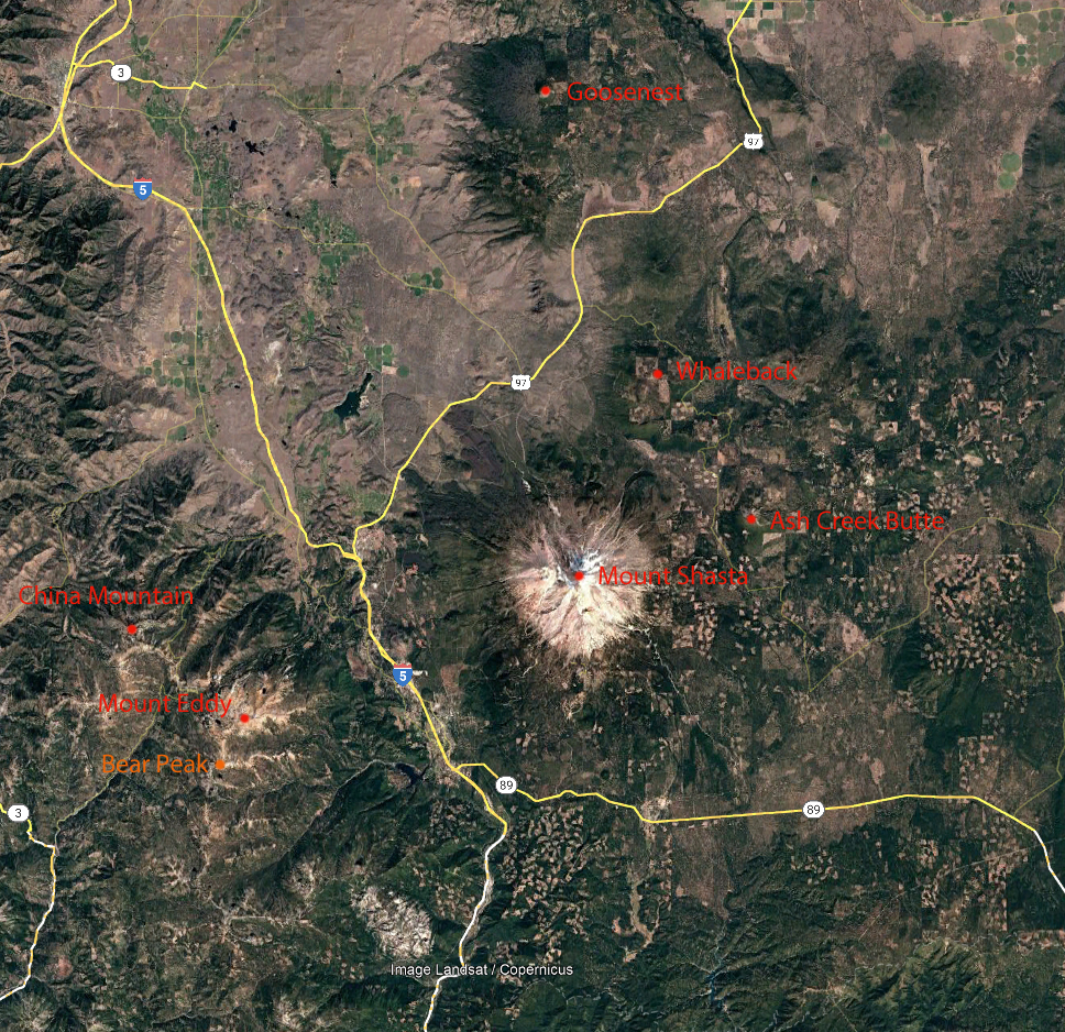
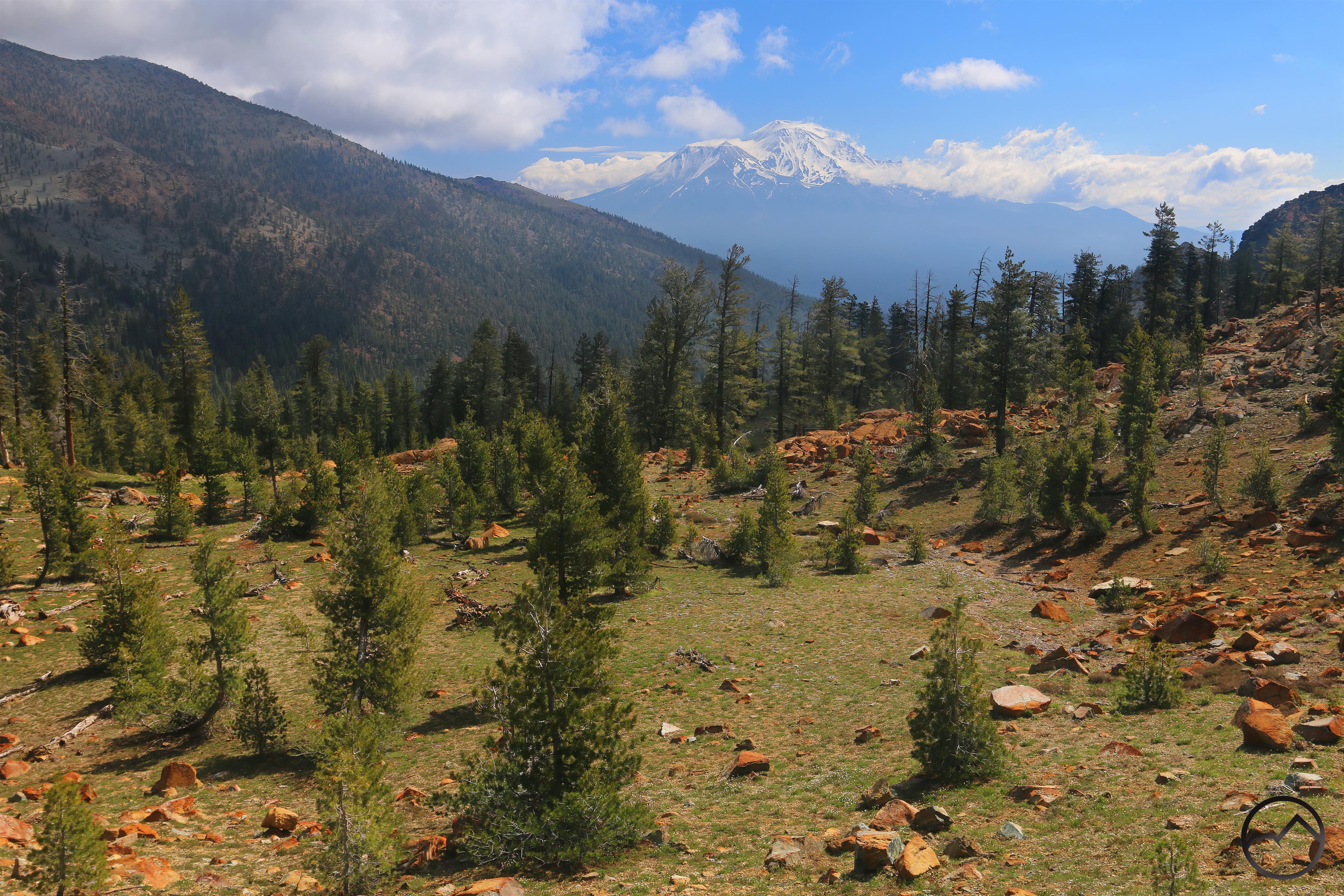
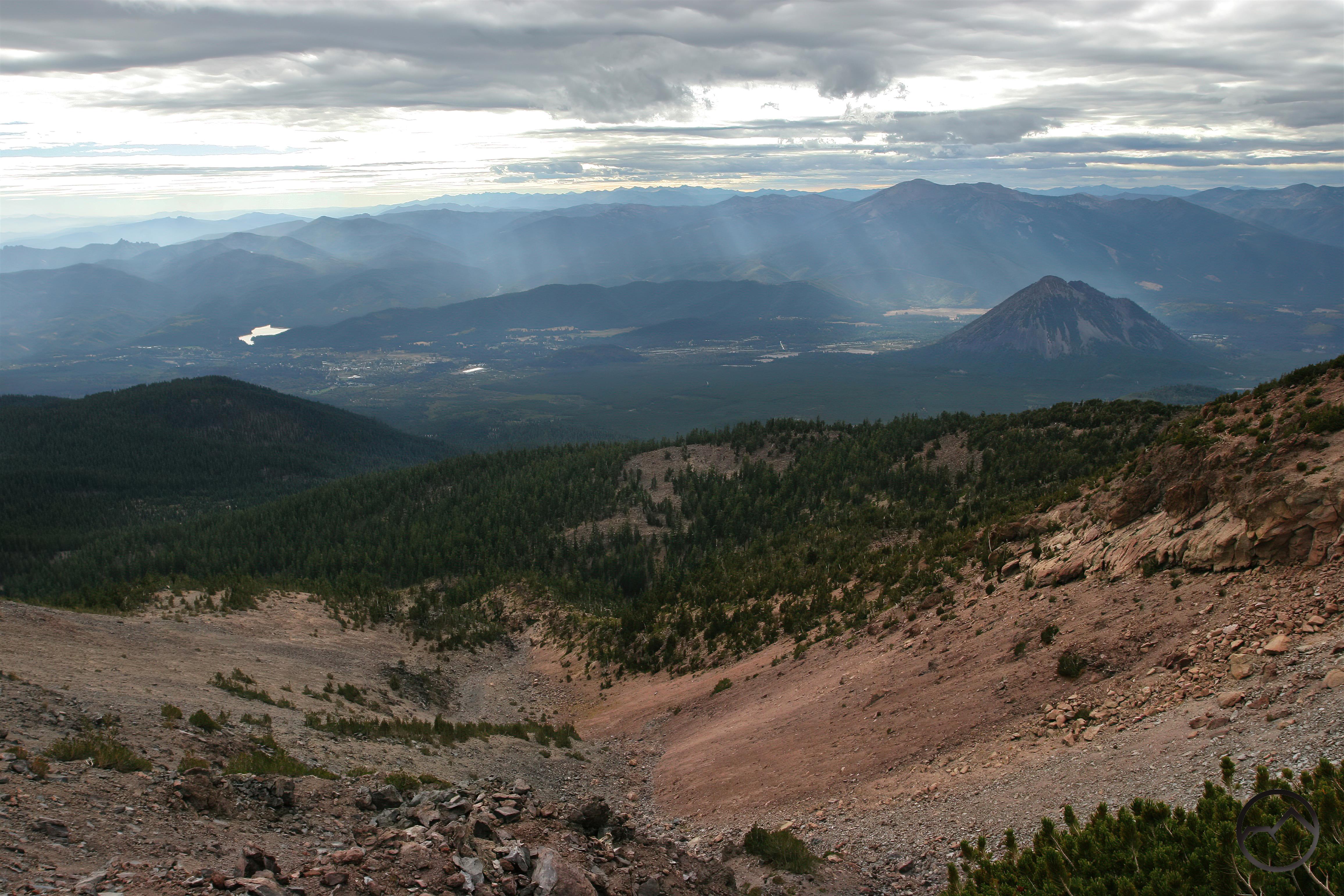
I have lived in Mount Shasta for quite a while now and, as this blog will testify, I have made it a practice to watch the patterns of weather over the courses of the seasons. One of things I have noticed over the last few years is the increasing frequency of a storm to sail through the region and deposit a fair amount of snow on Mount Shasta in the latter half of September. This was true in 2021, 2022 and 2023. Of those three years, 2022 was the most impressive, looking almost wintery rather than a late-summer glazing. This year the trend escalated even further, with a near-wintery deposit of snow in August! The early arrival of the snow has not meant that September was ignored either. We have had one notable storm hit, and it did indeed leave more snow on the mountain in summer.
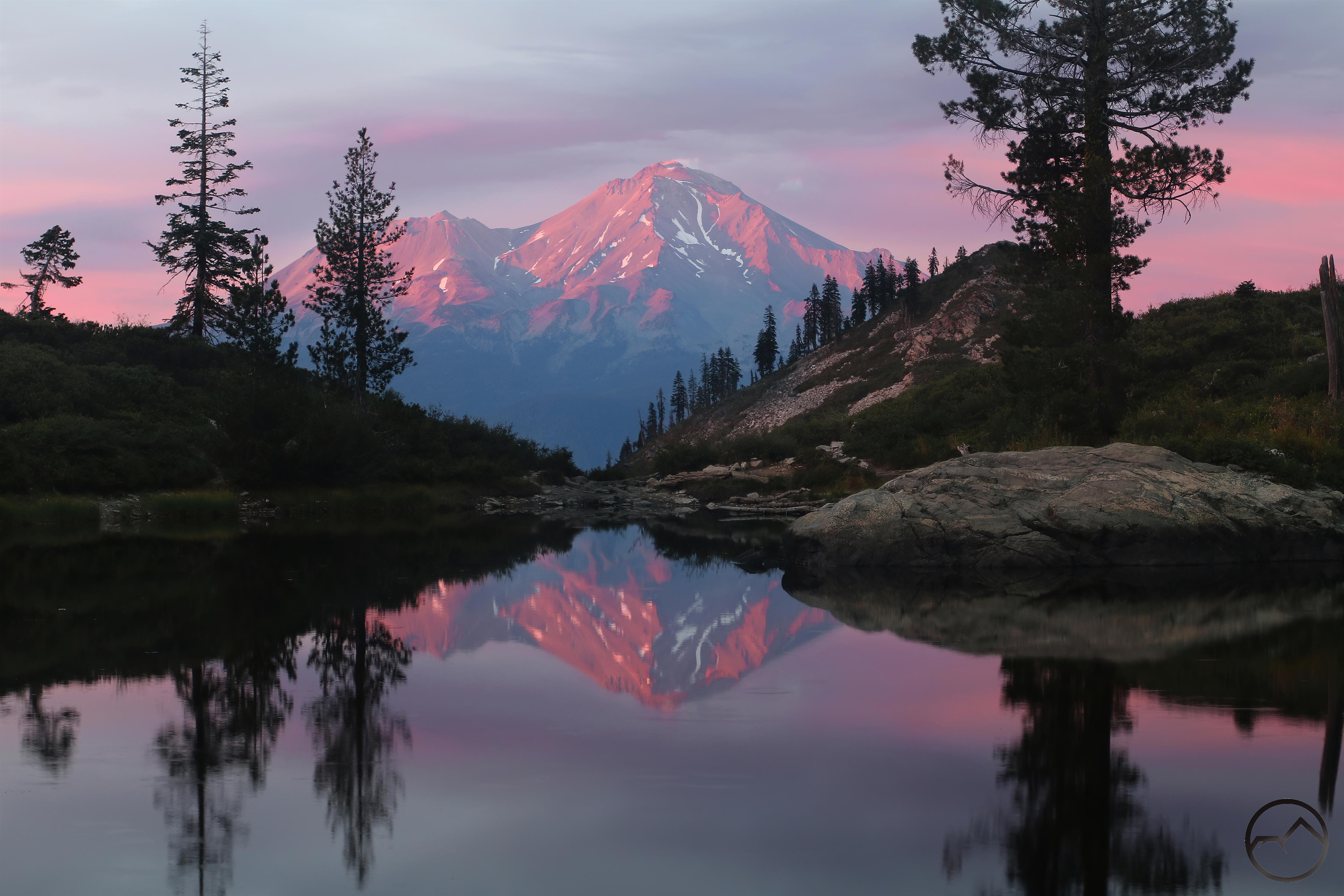
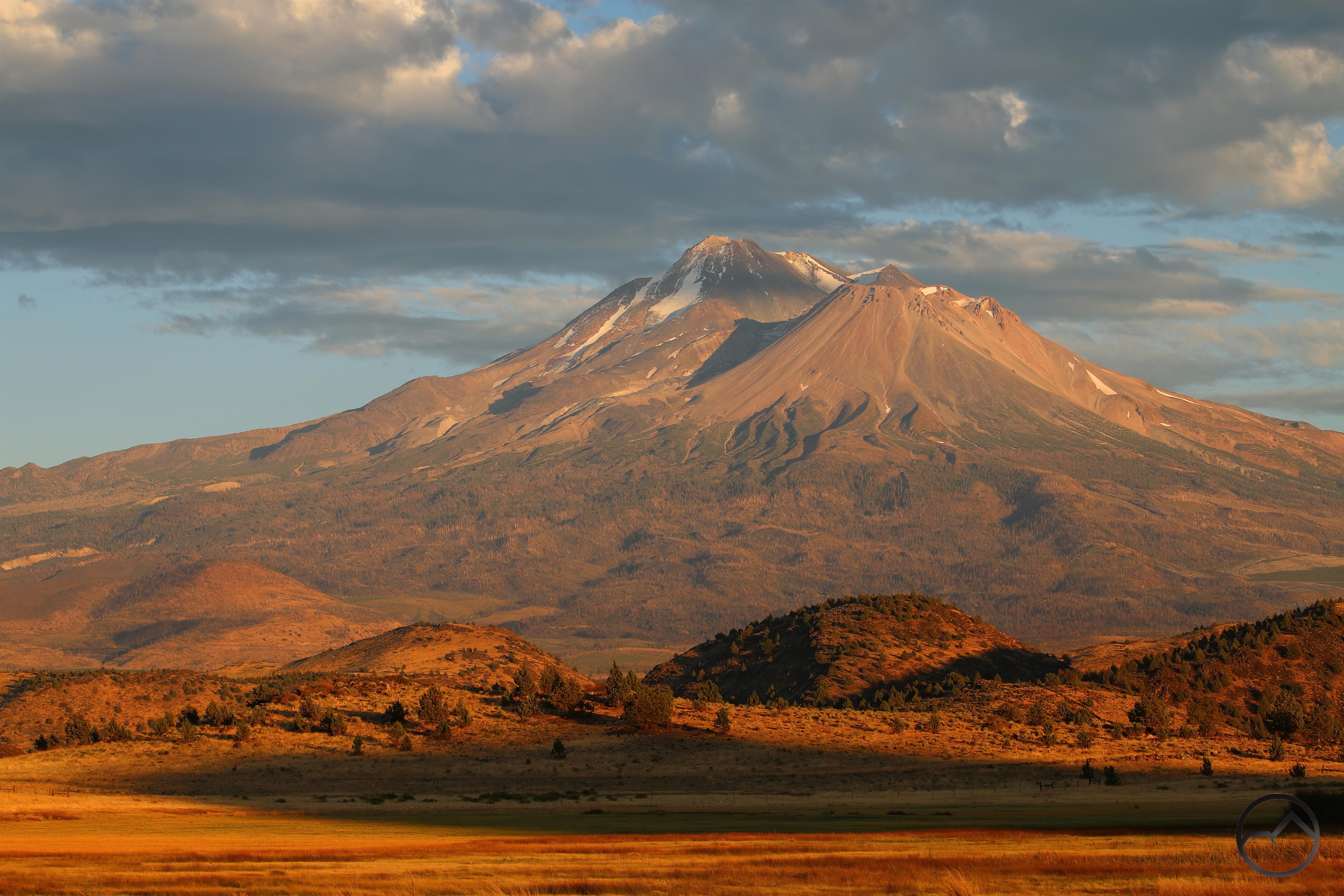
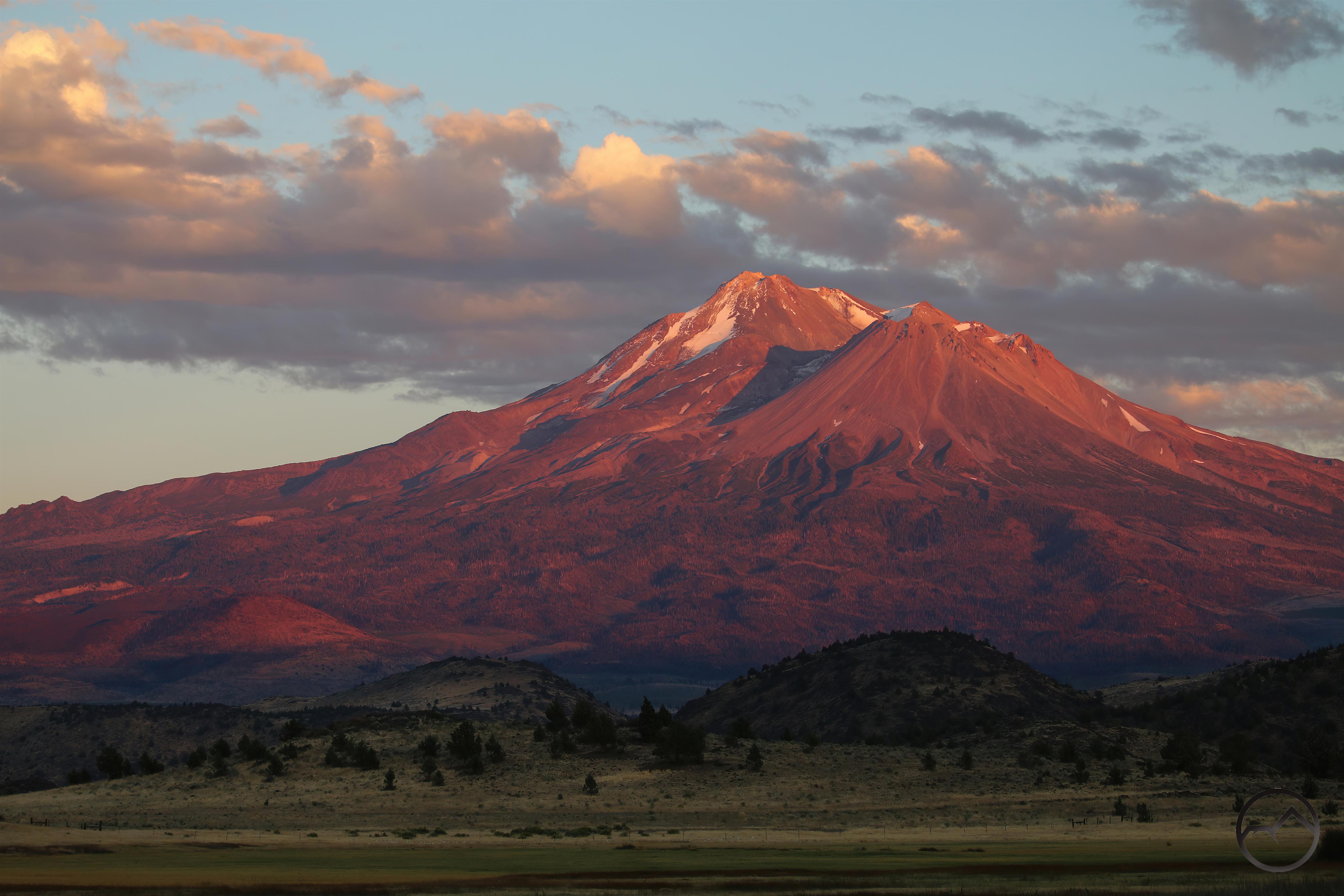
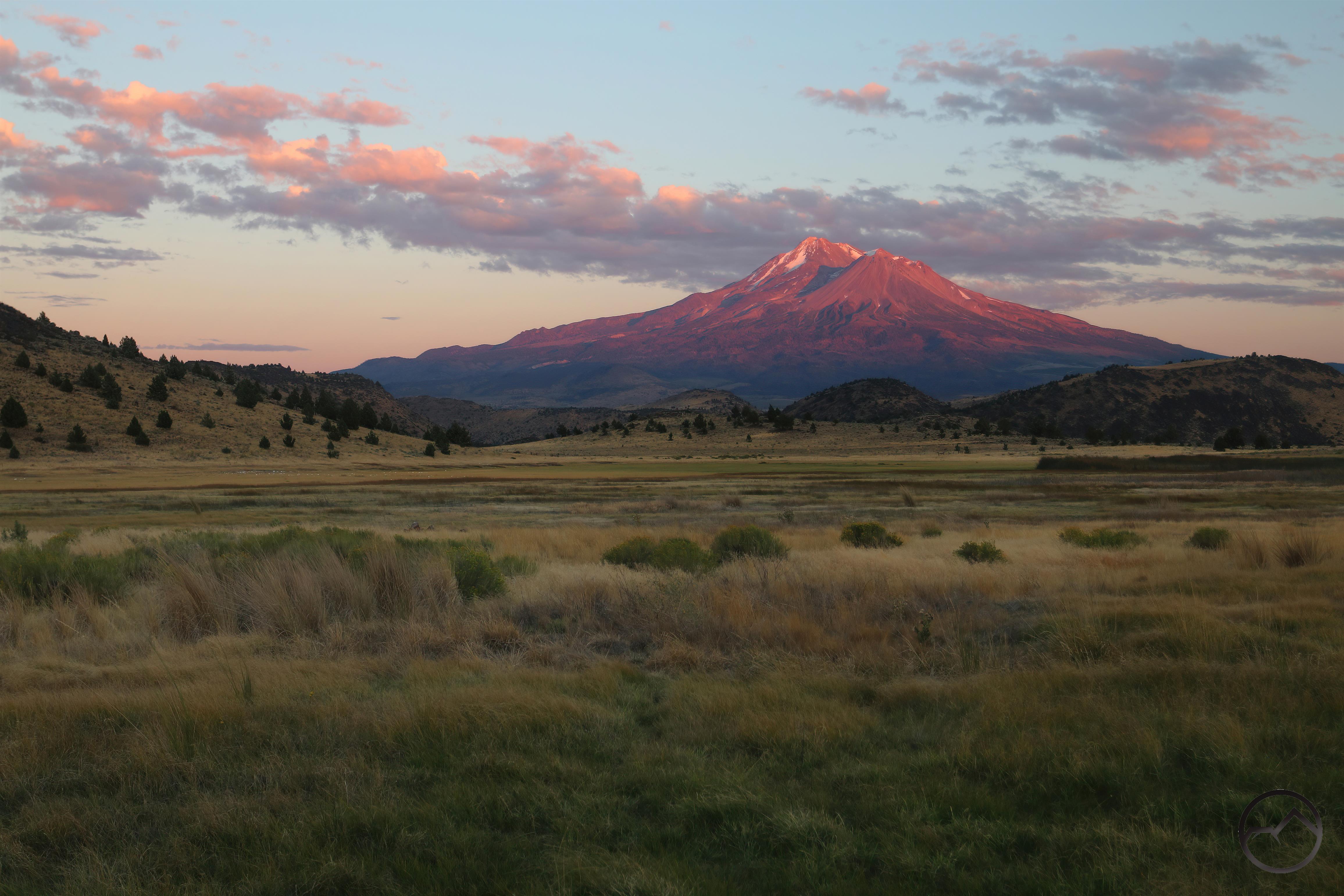
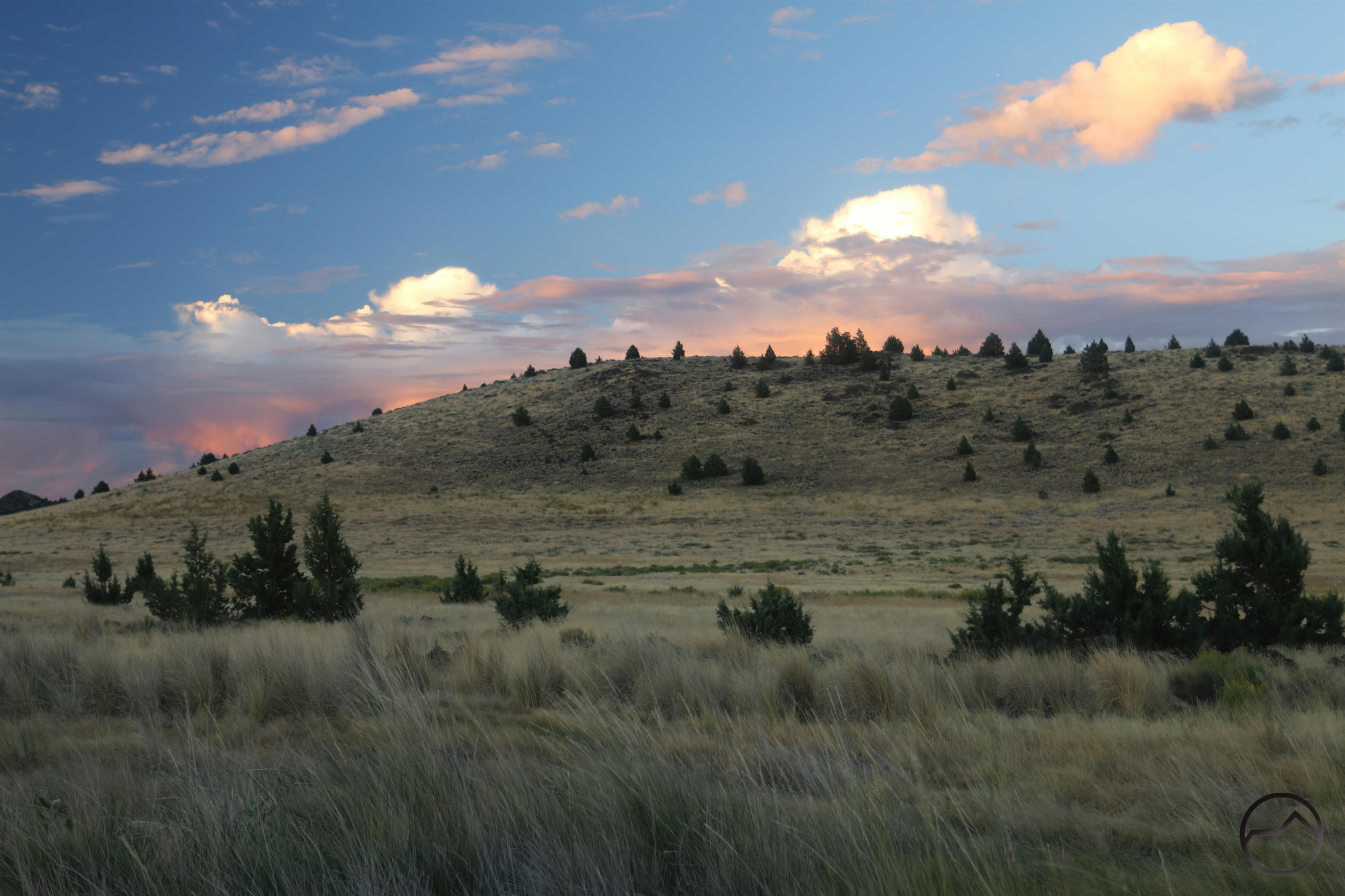
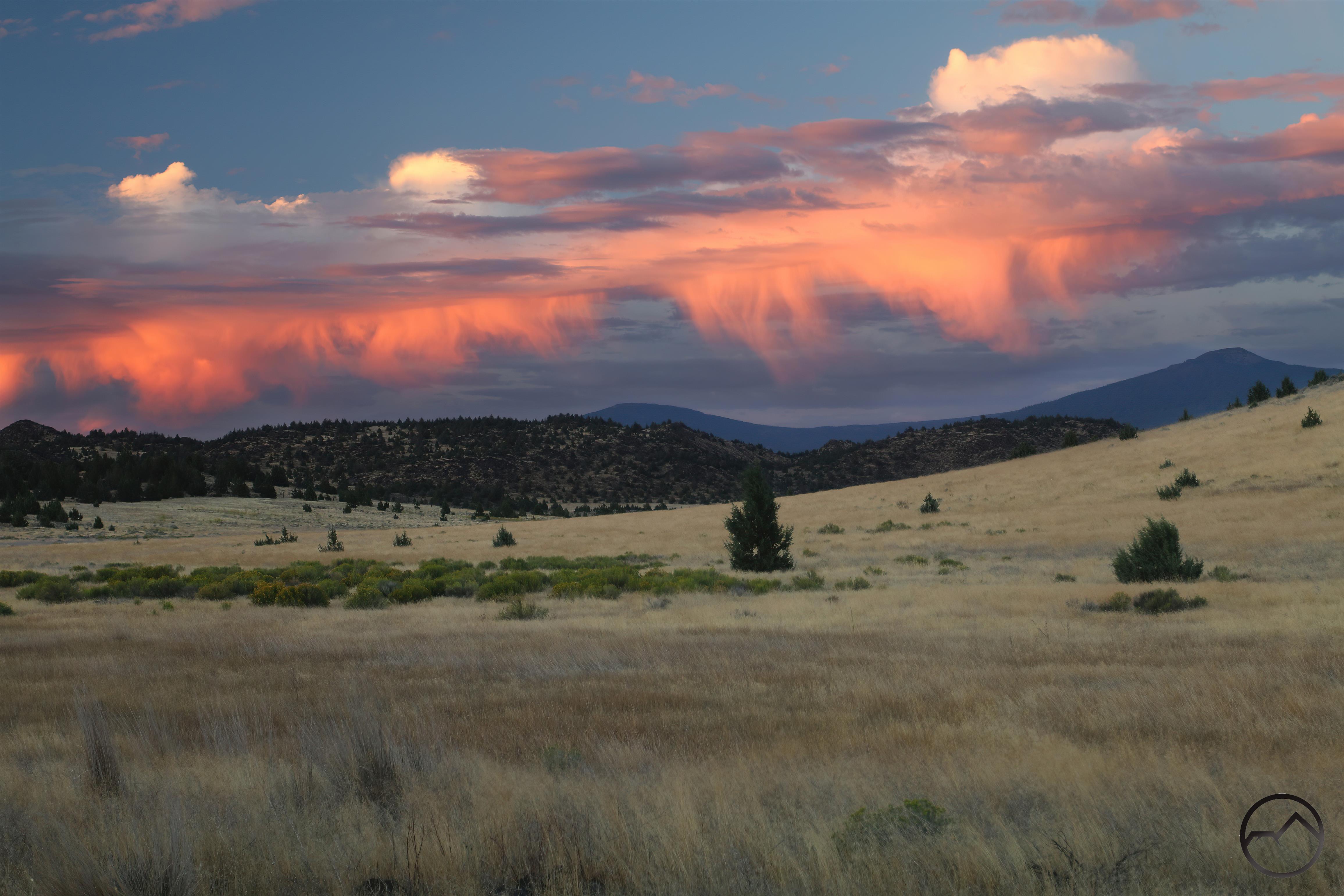
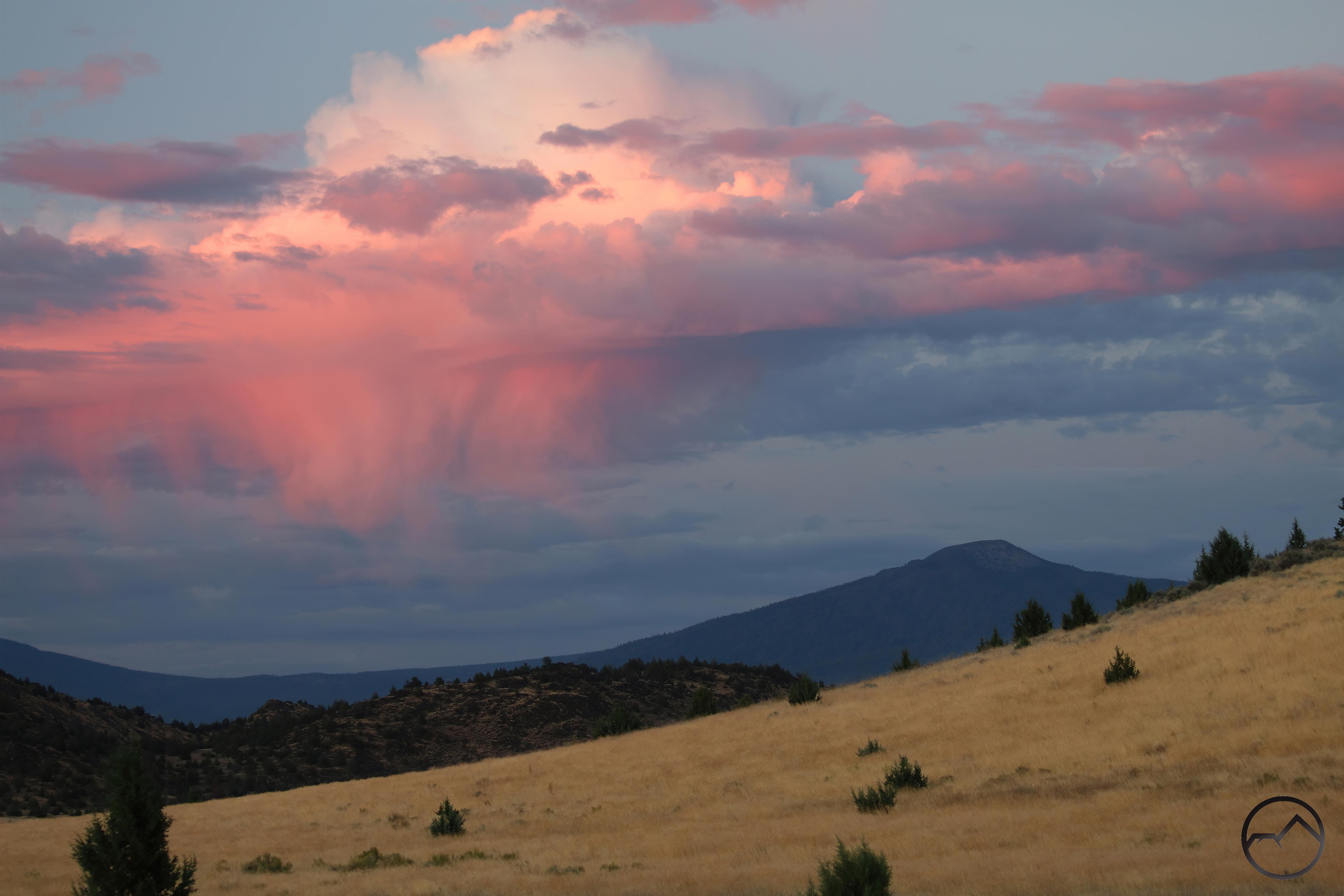
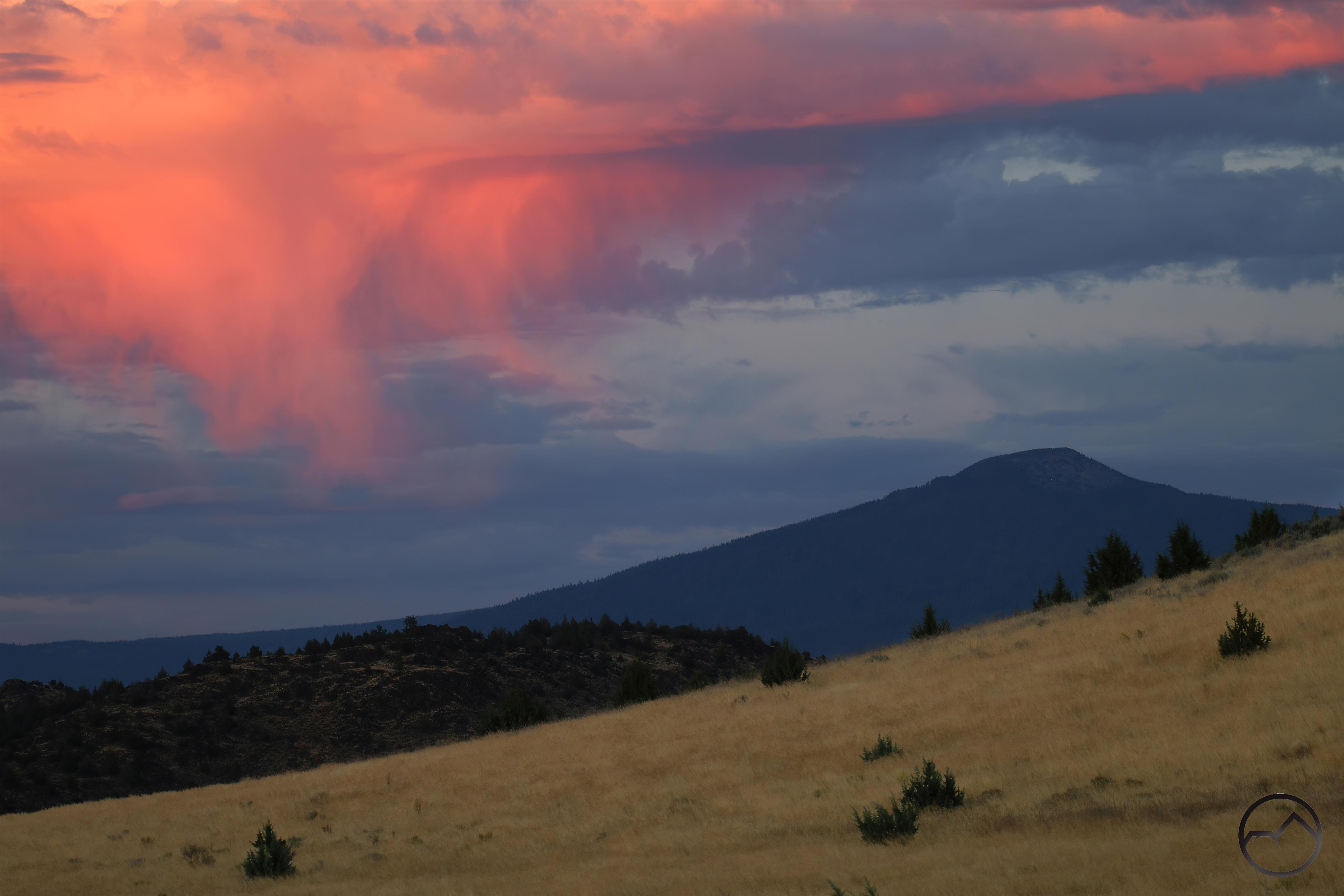
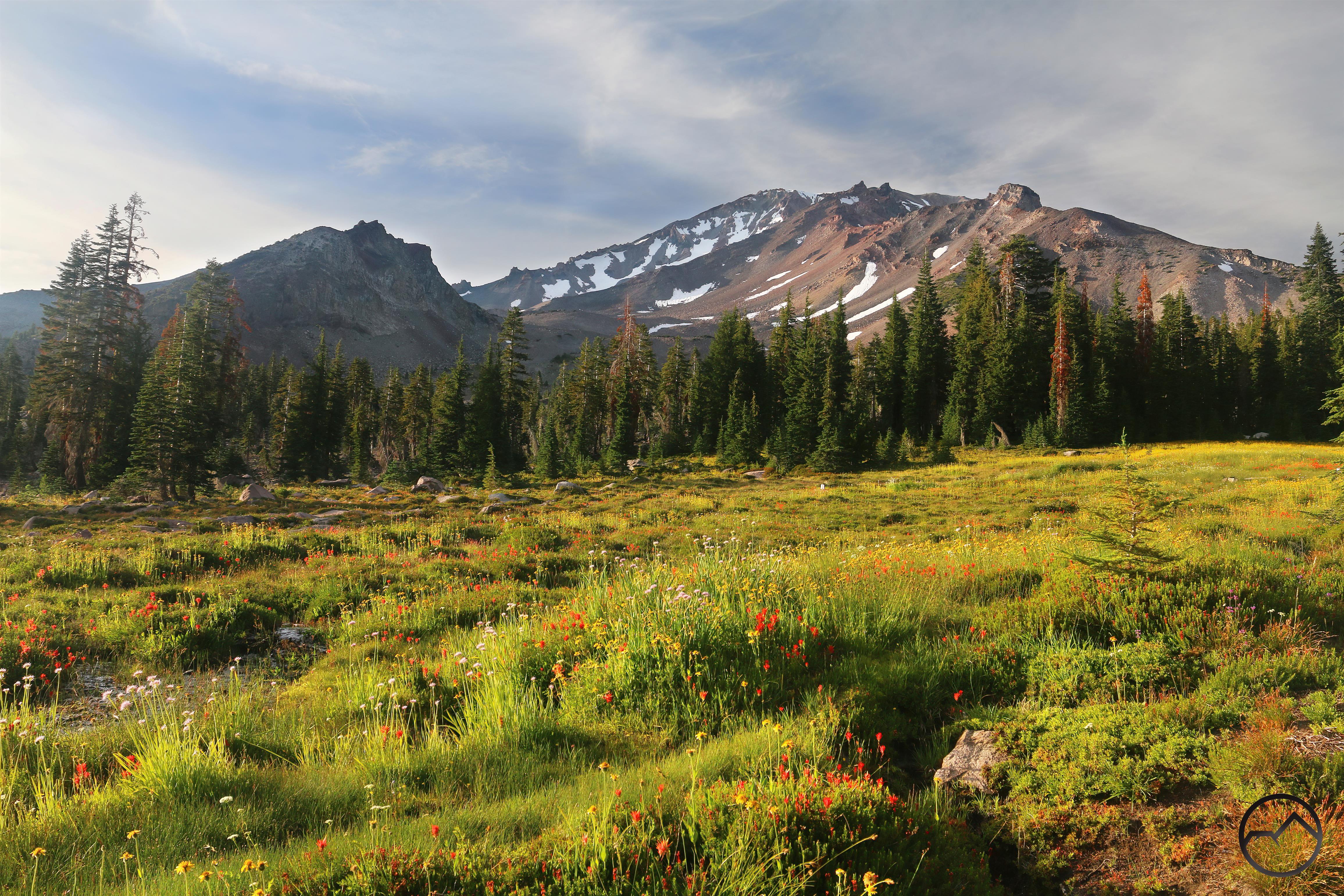
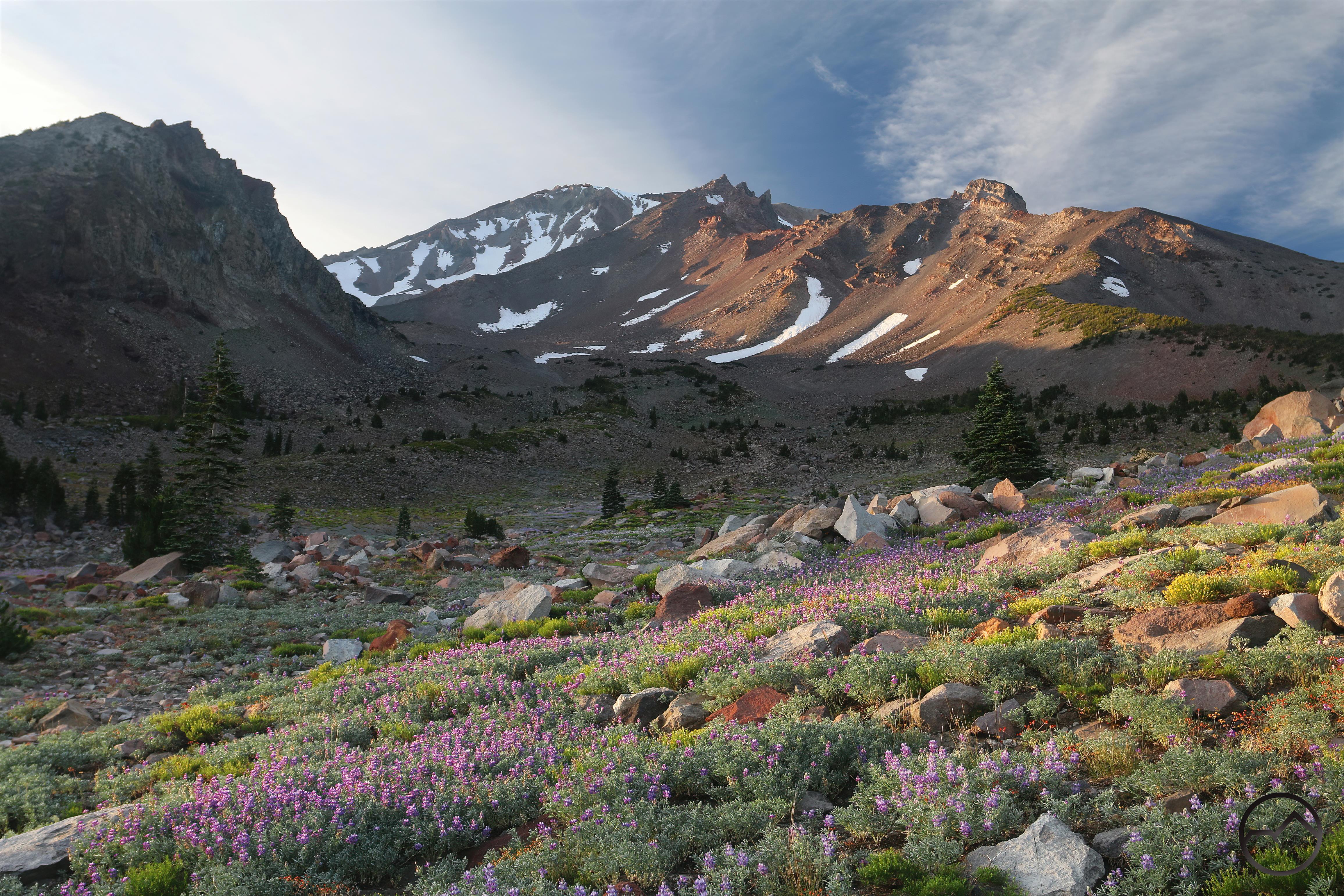
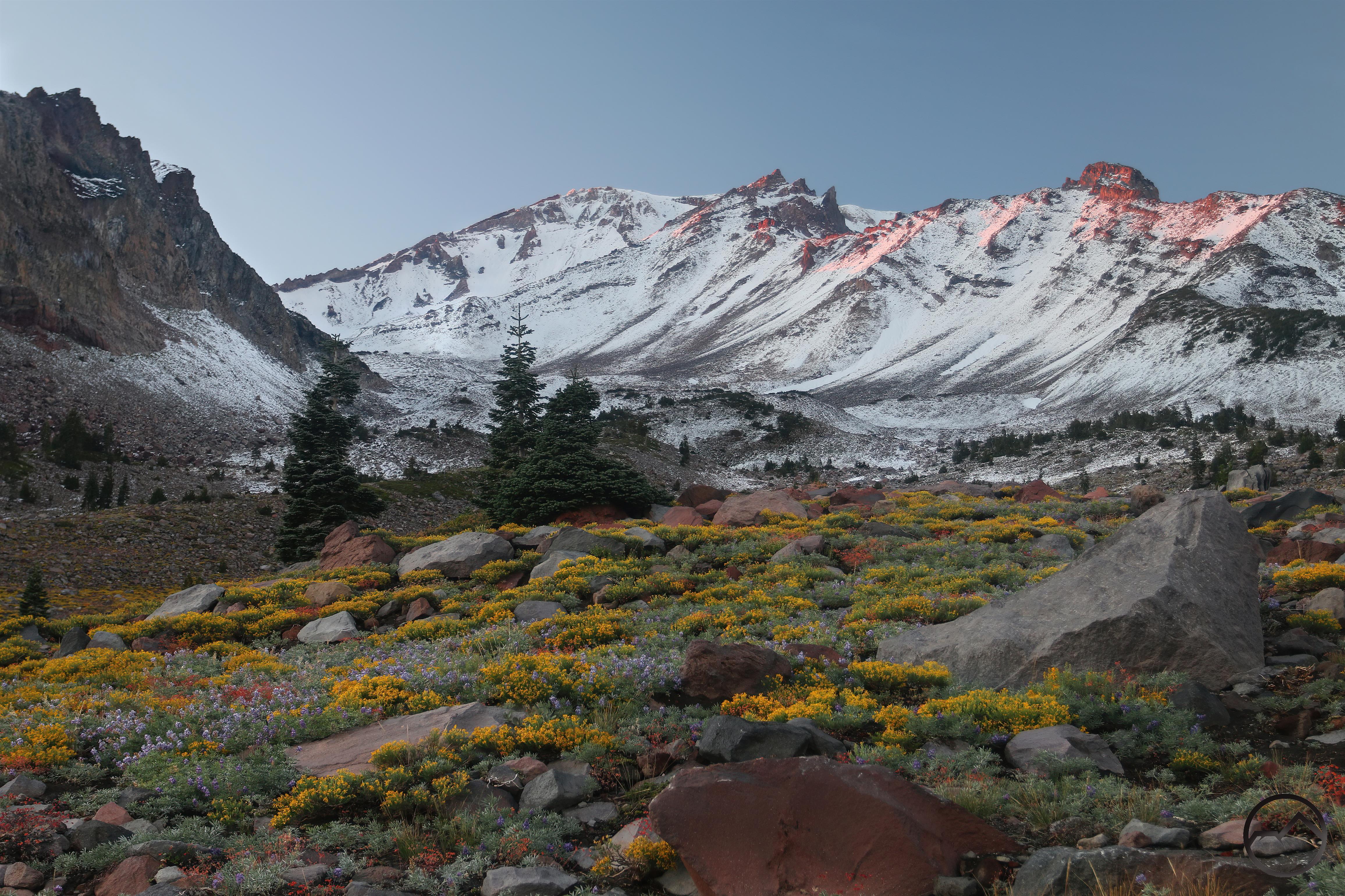
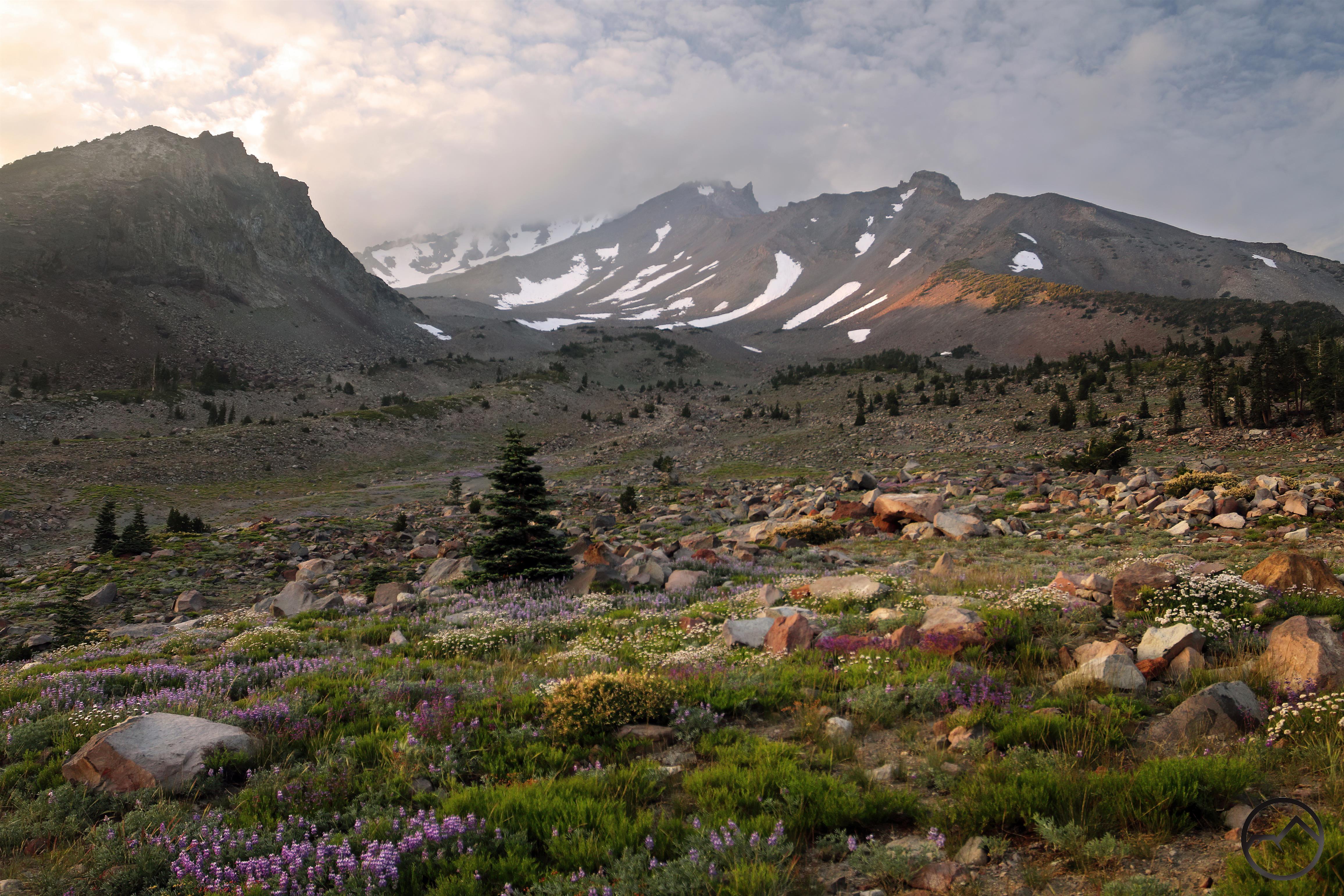
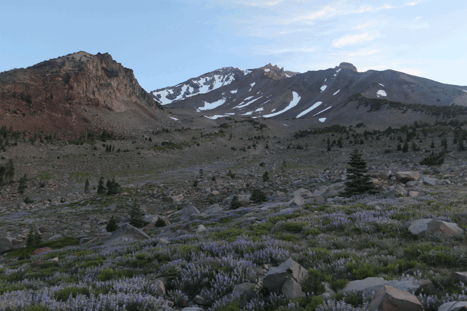
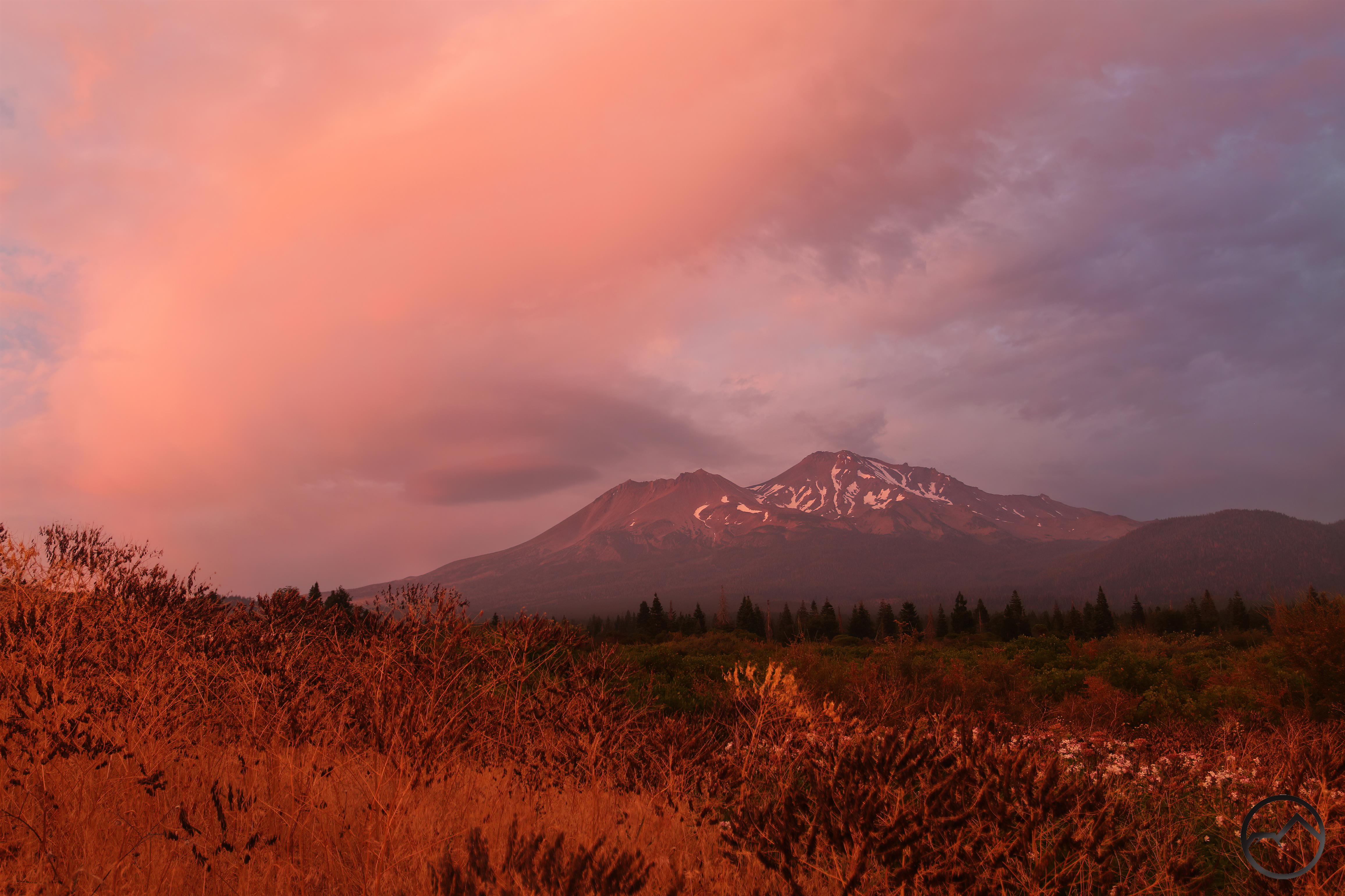
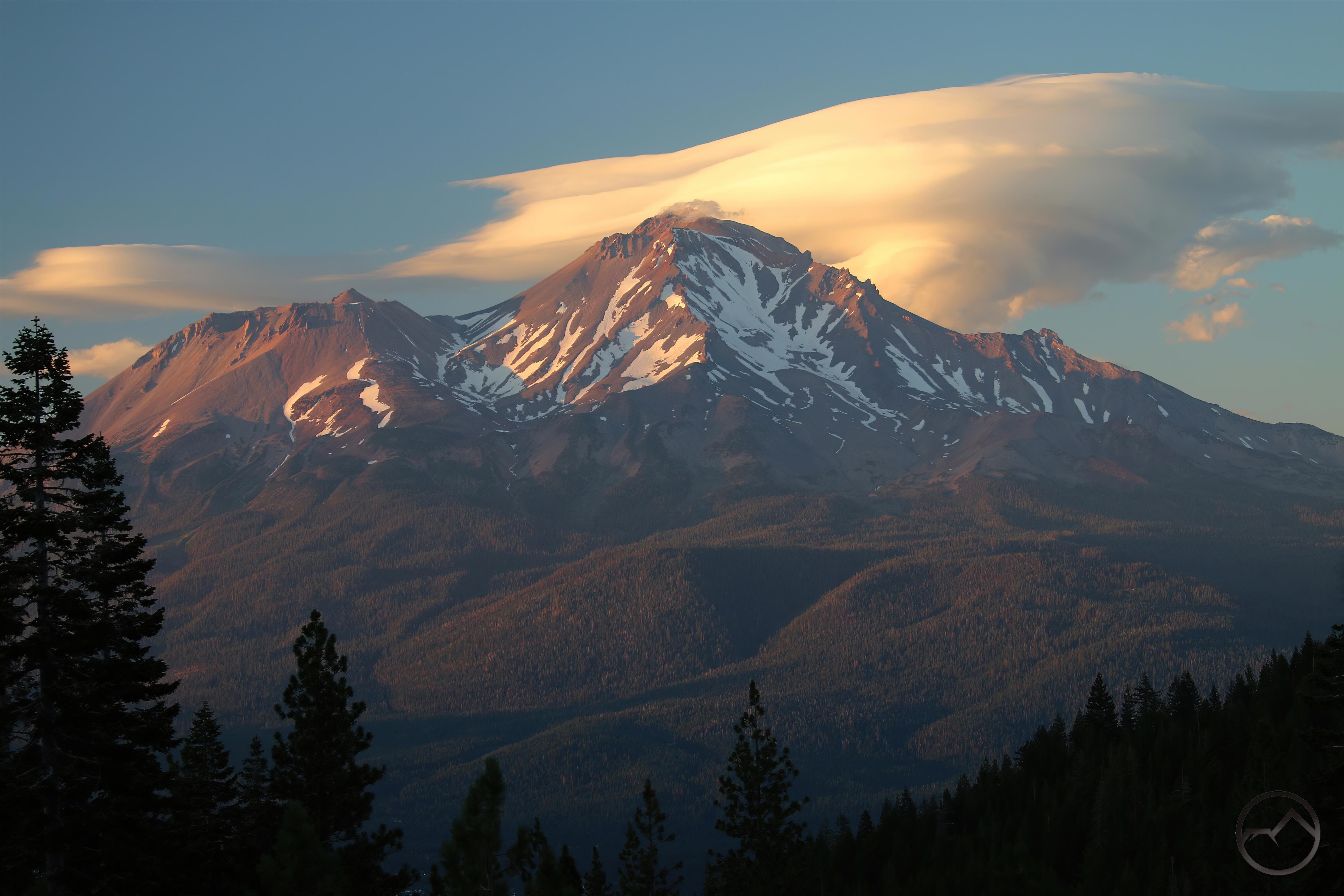
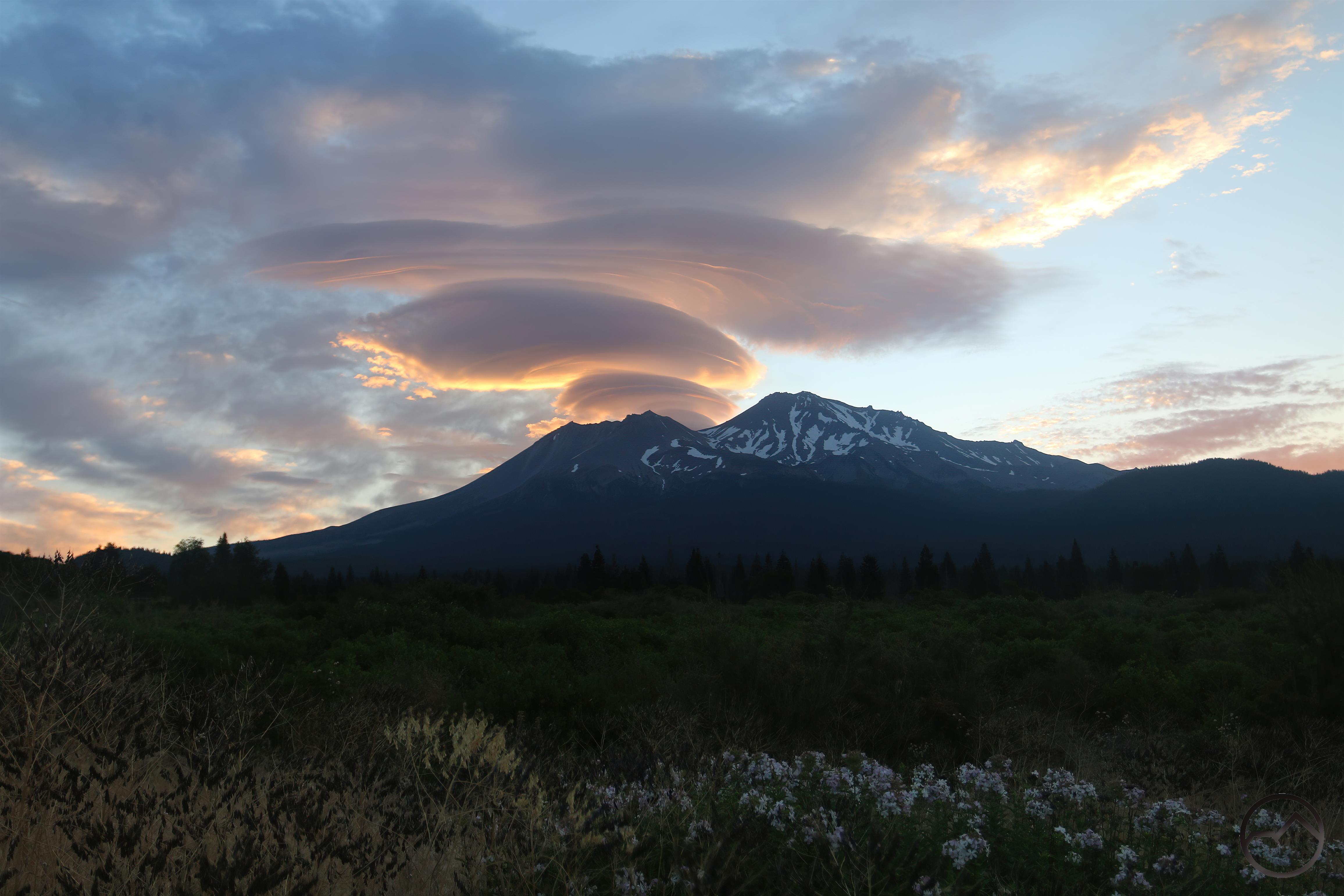
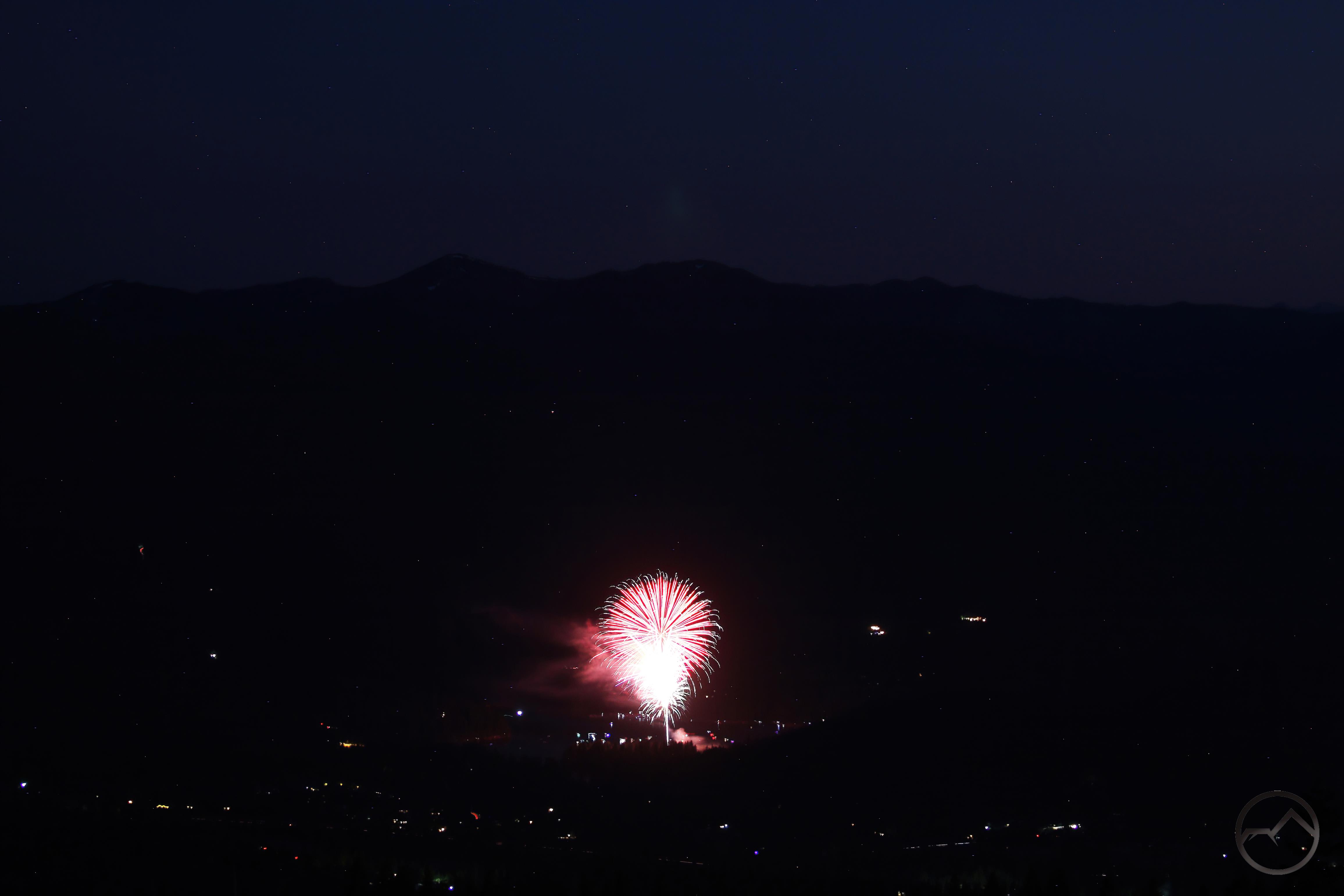
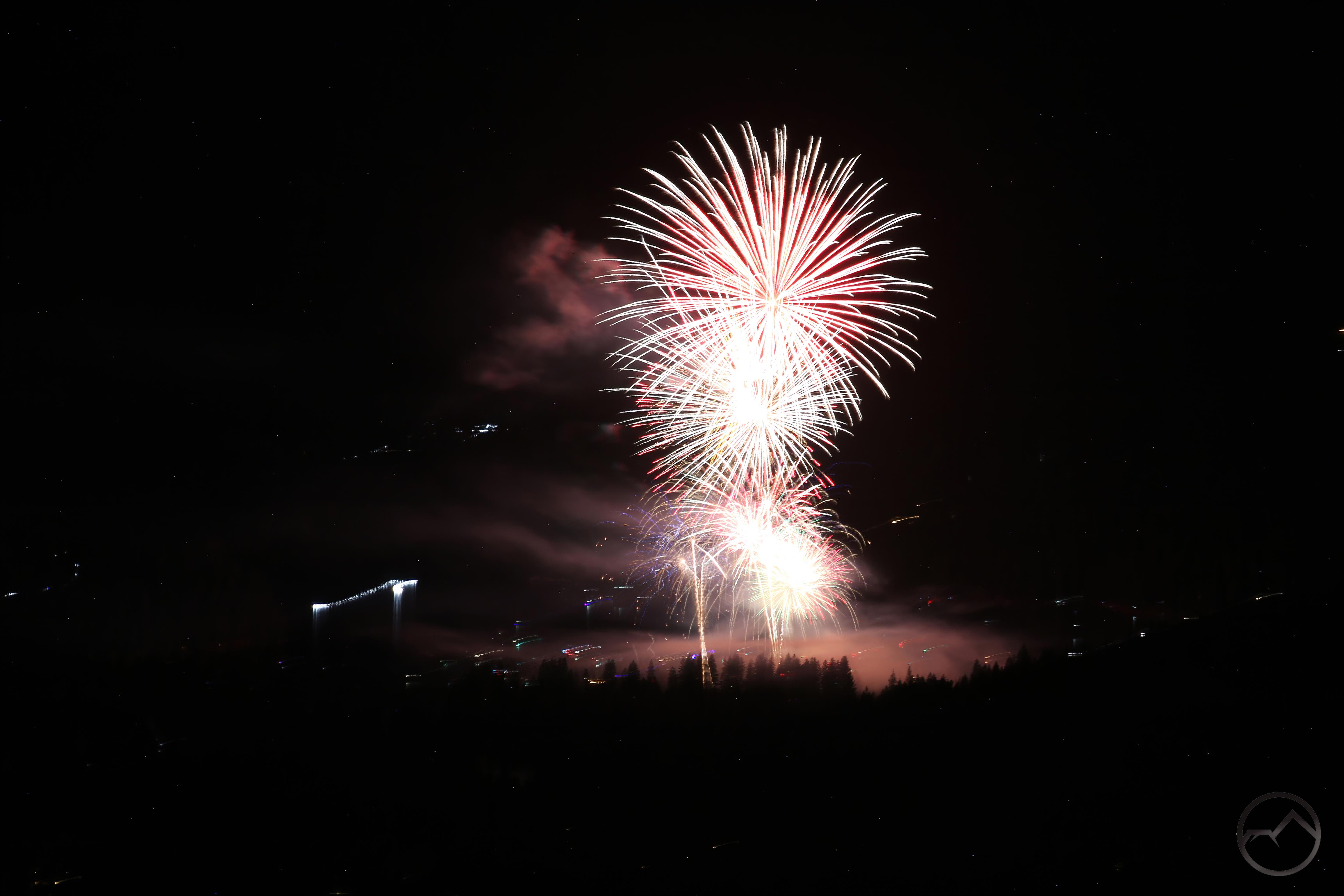
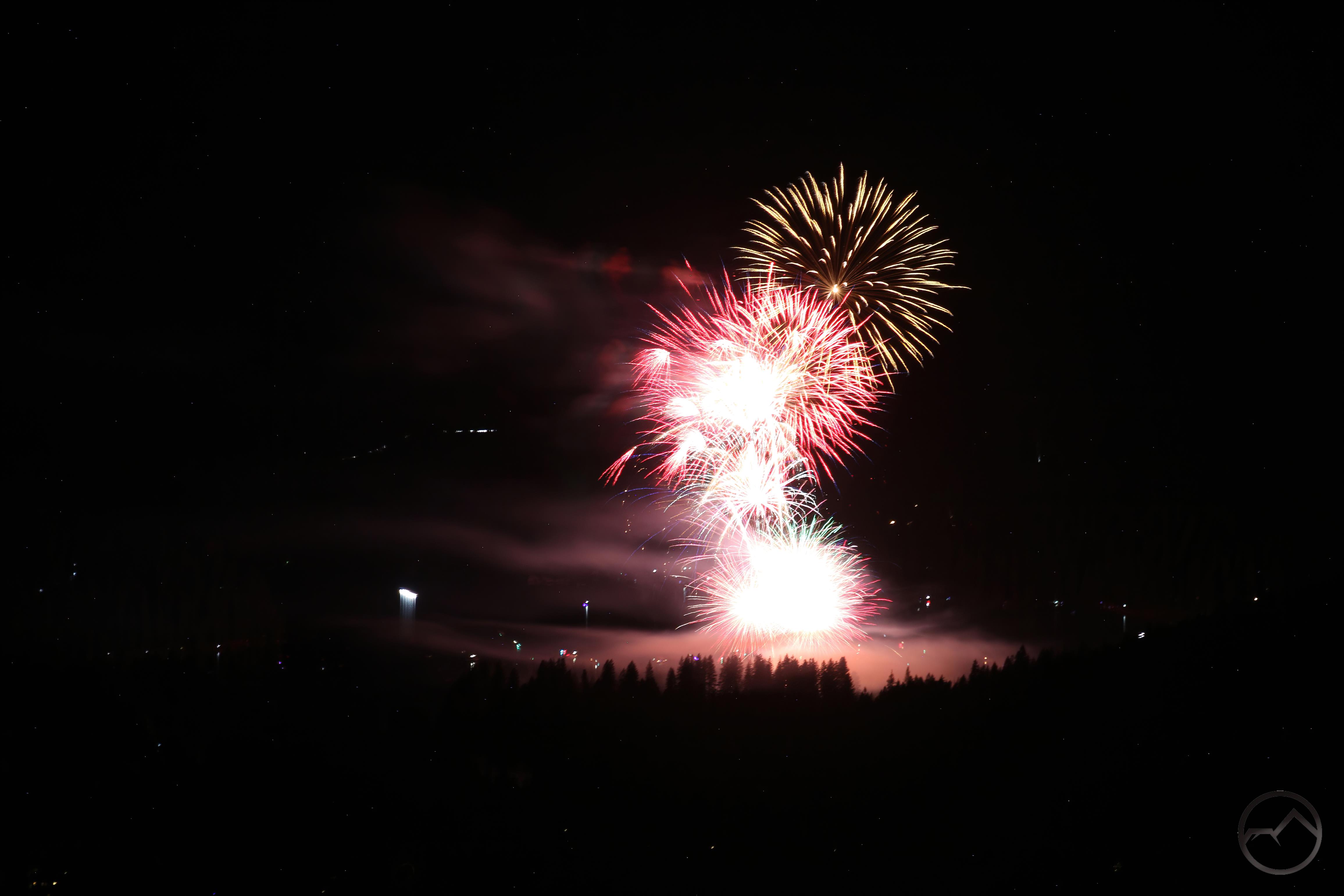
The night before the storm hit, I took the boy scout troop up to Heart Lake for a sunset hike. The timing, both date and time, was engineered to have good conditions for a sunset. However, with the storm gathering strength the skies were overcast and we resigned ourselves to hiking up even if the sunset side of things wasn’t really going to happen. As is sometimes the case, however, the overcast conditions amplify the beauty if the sun is able to slip under the cloud cover for just a moment or two and everything explodes with color. Such was the case this time, thankfully. After enjoying the magnificent display, we all happily hiked down in the dark. The storm was on its way.

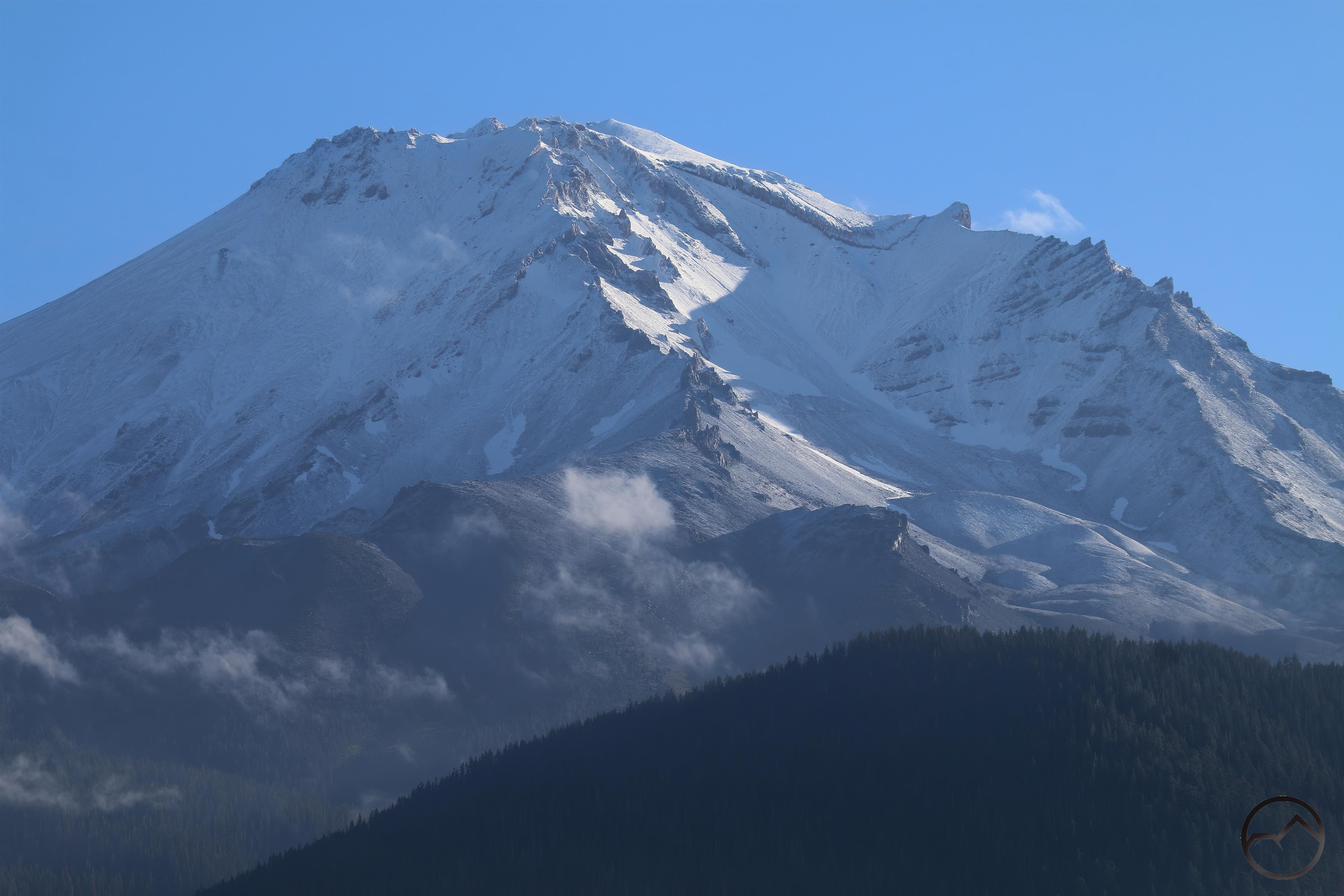
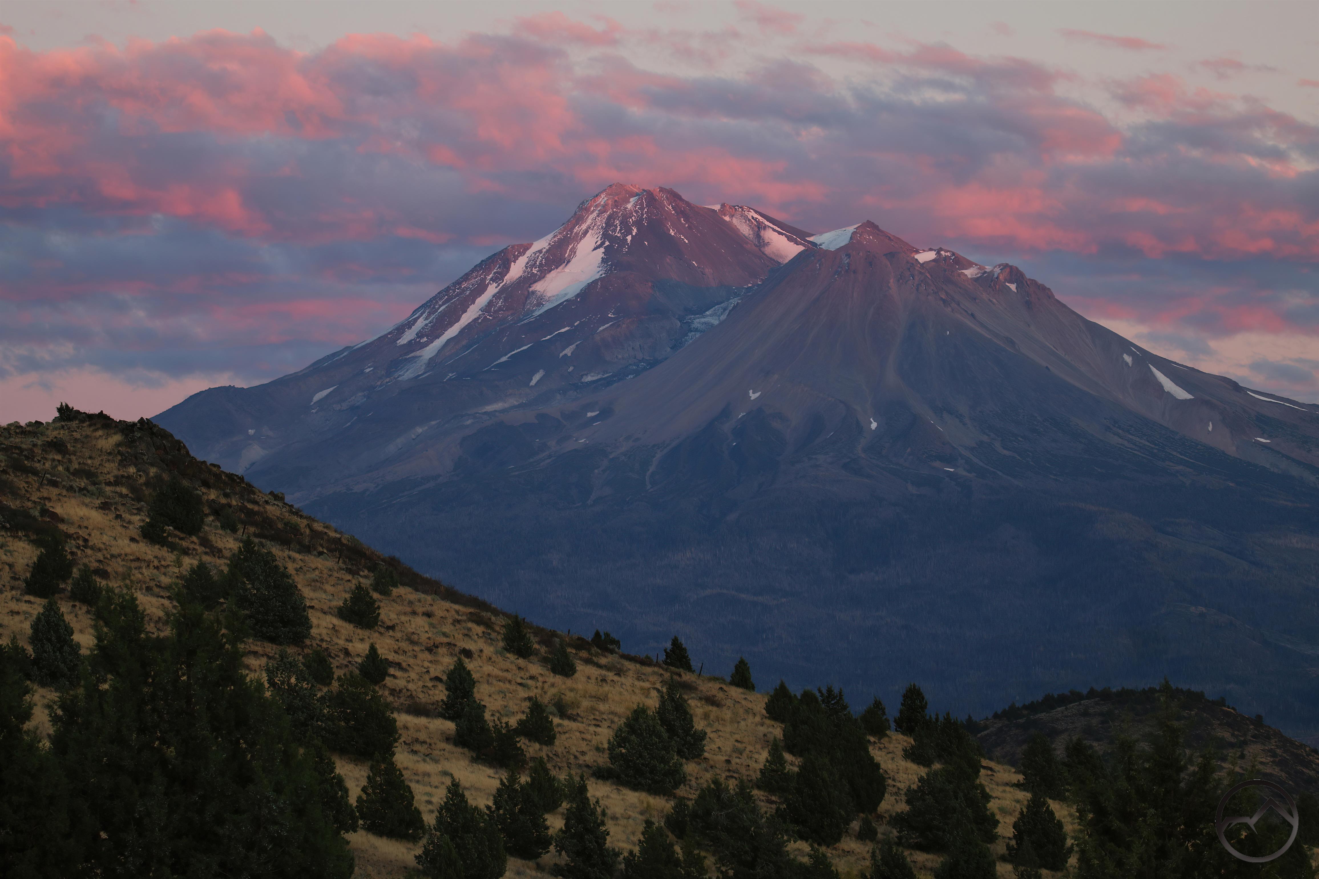
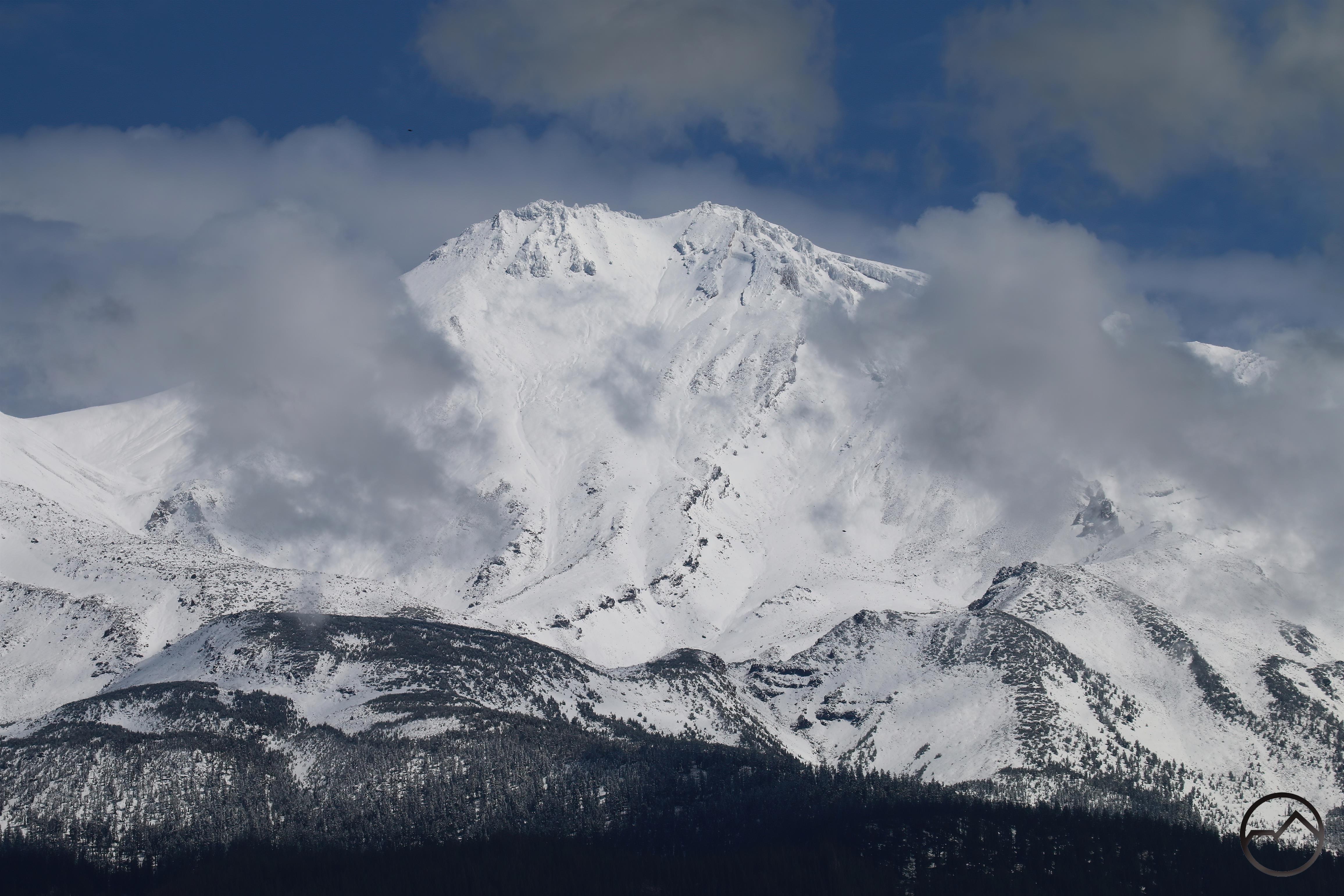
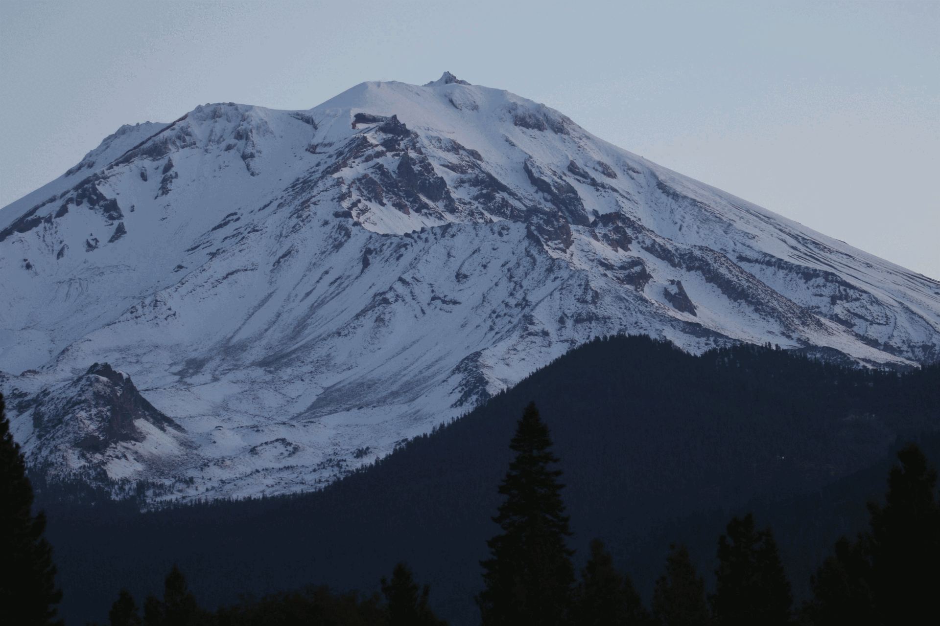
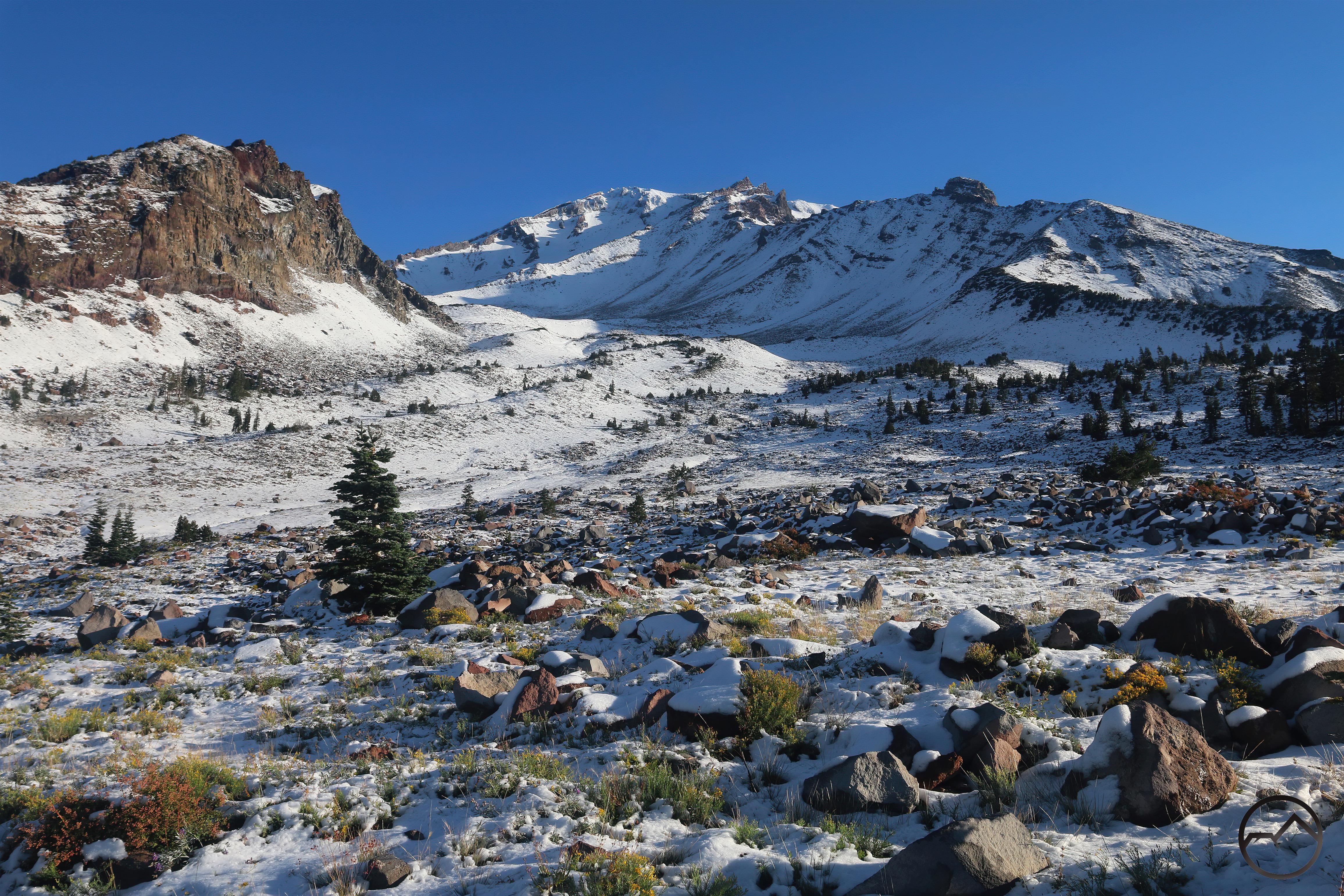
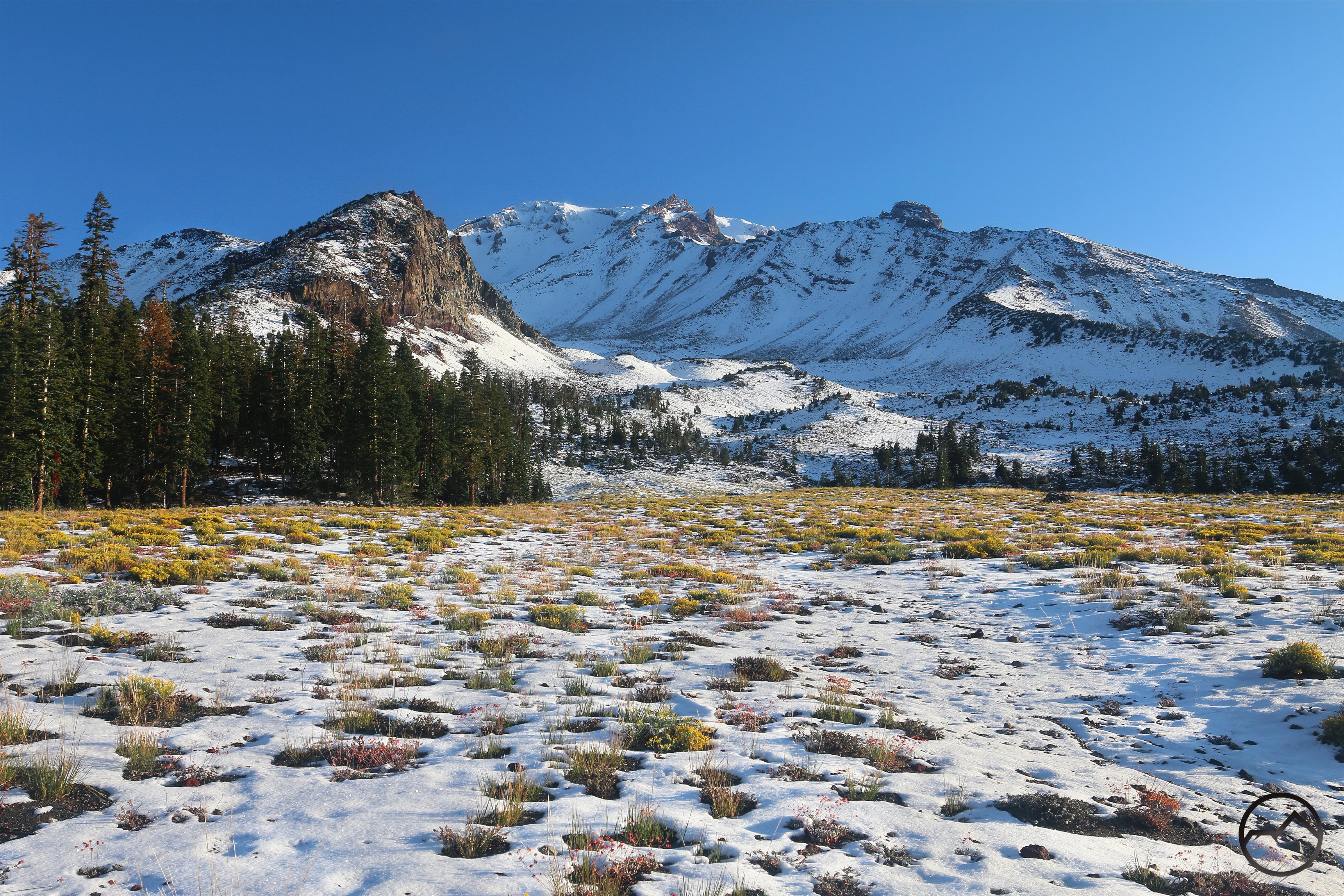
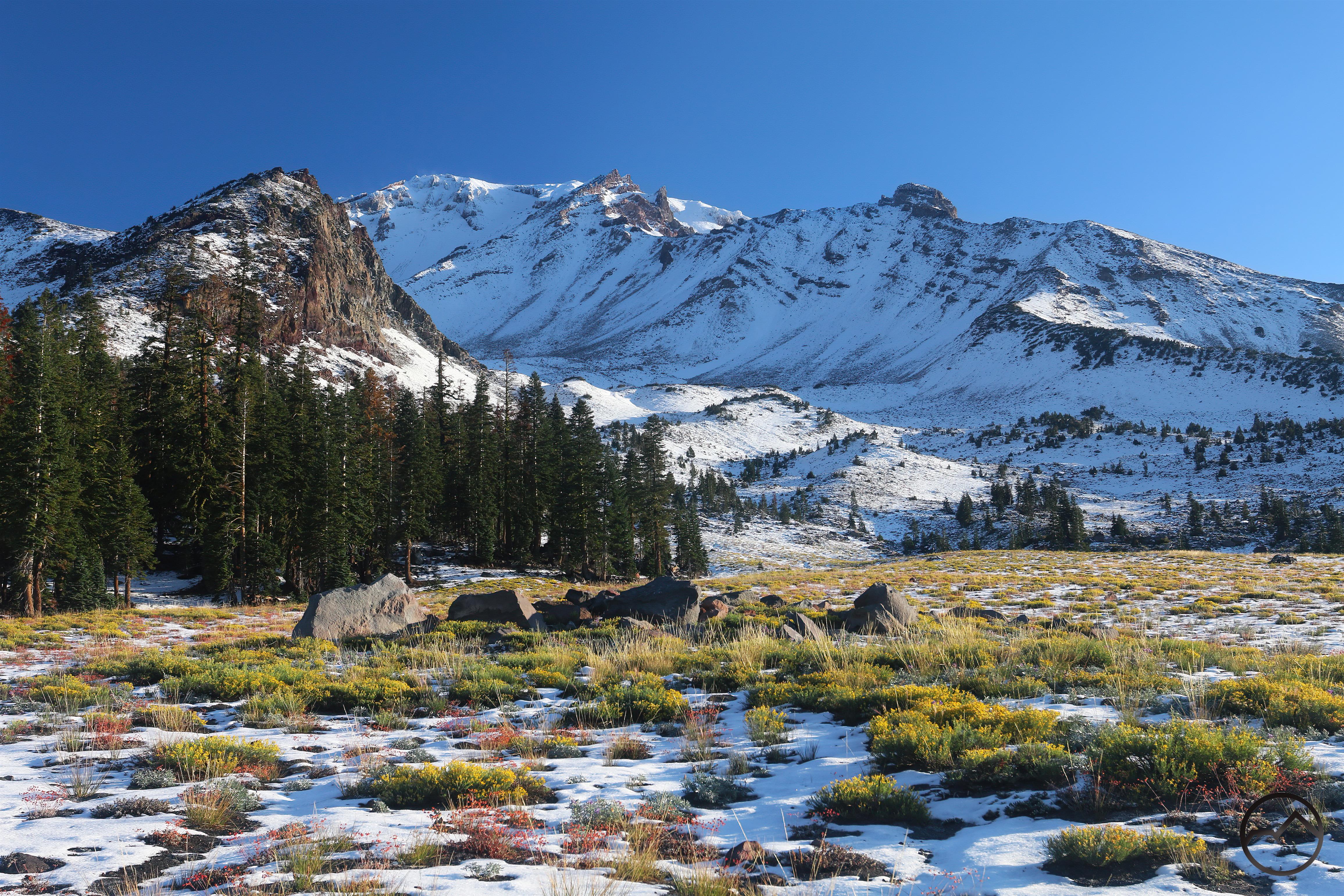
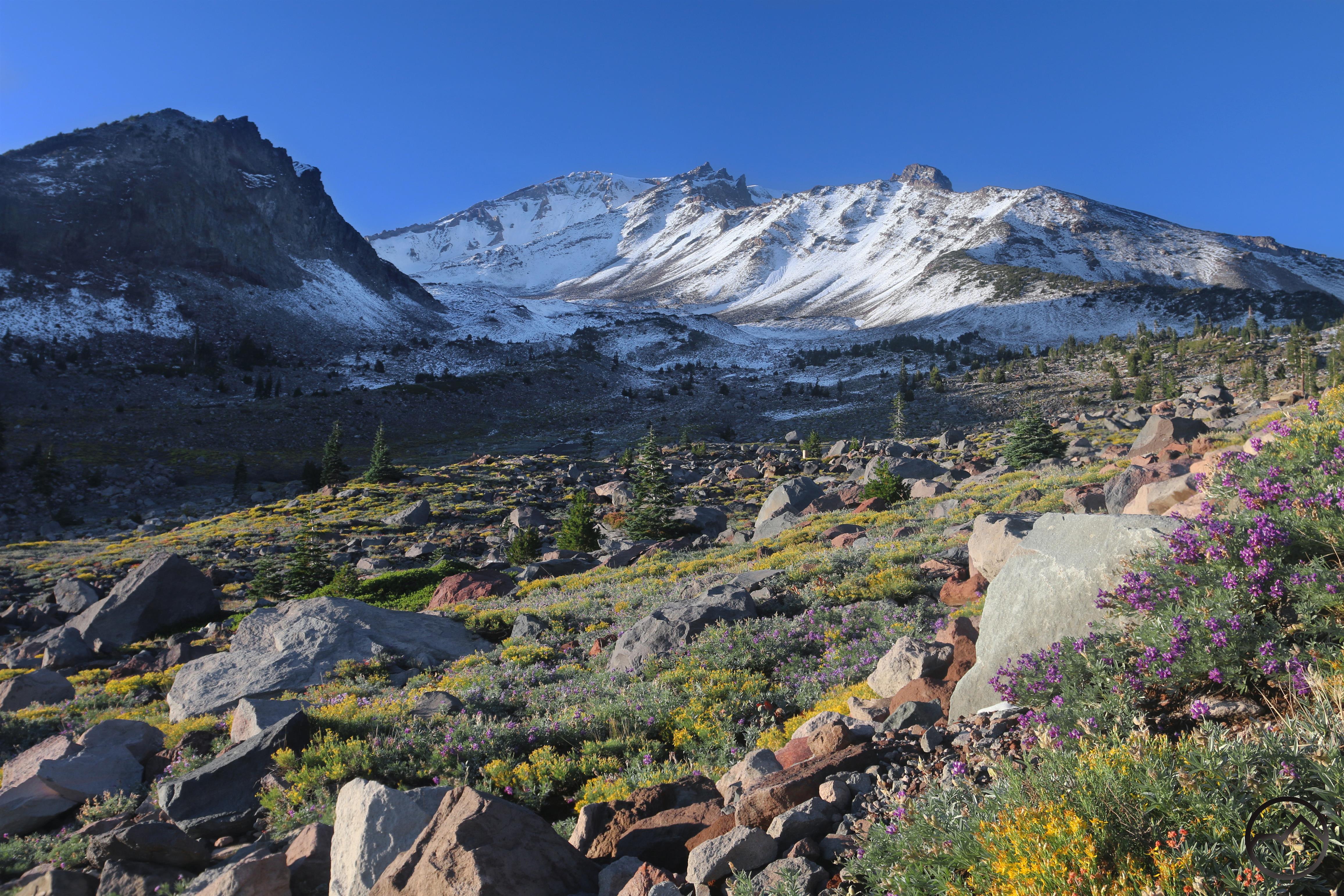
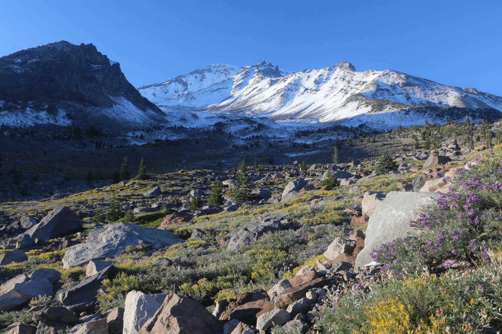
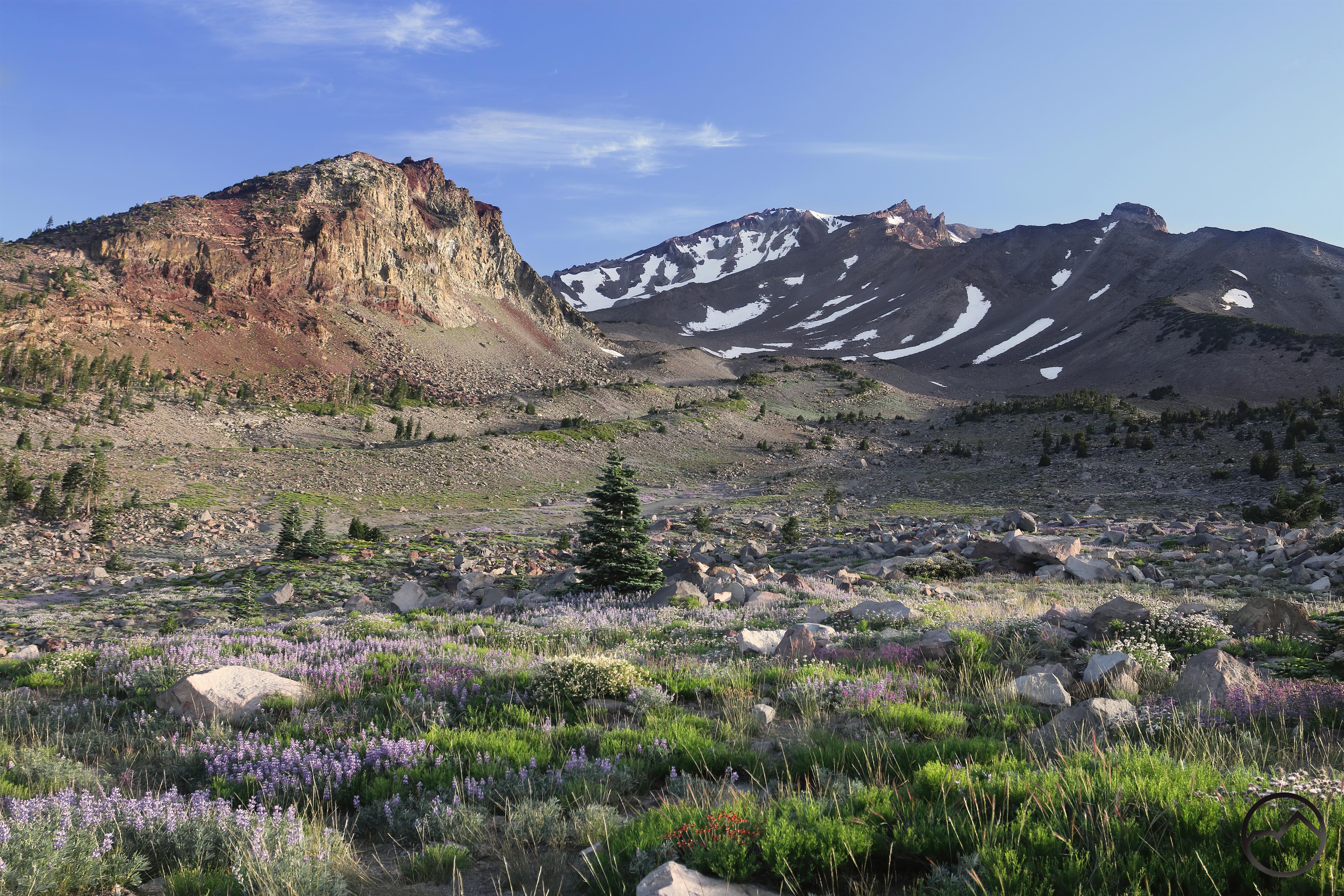
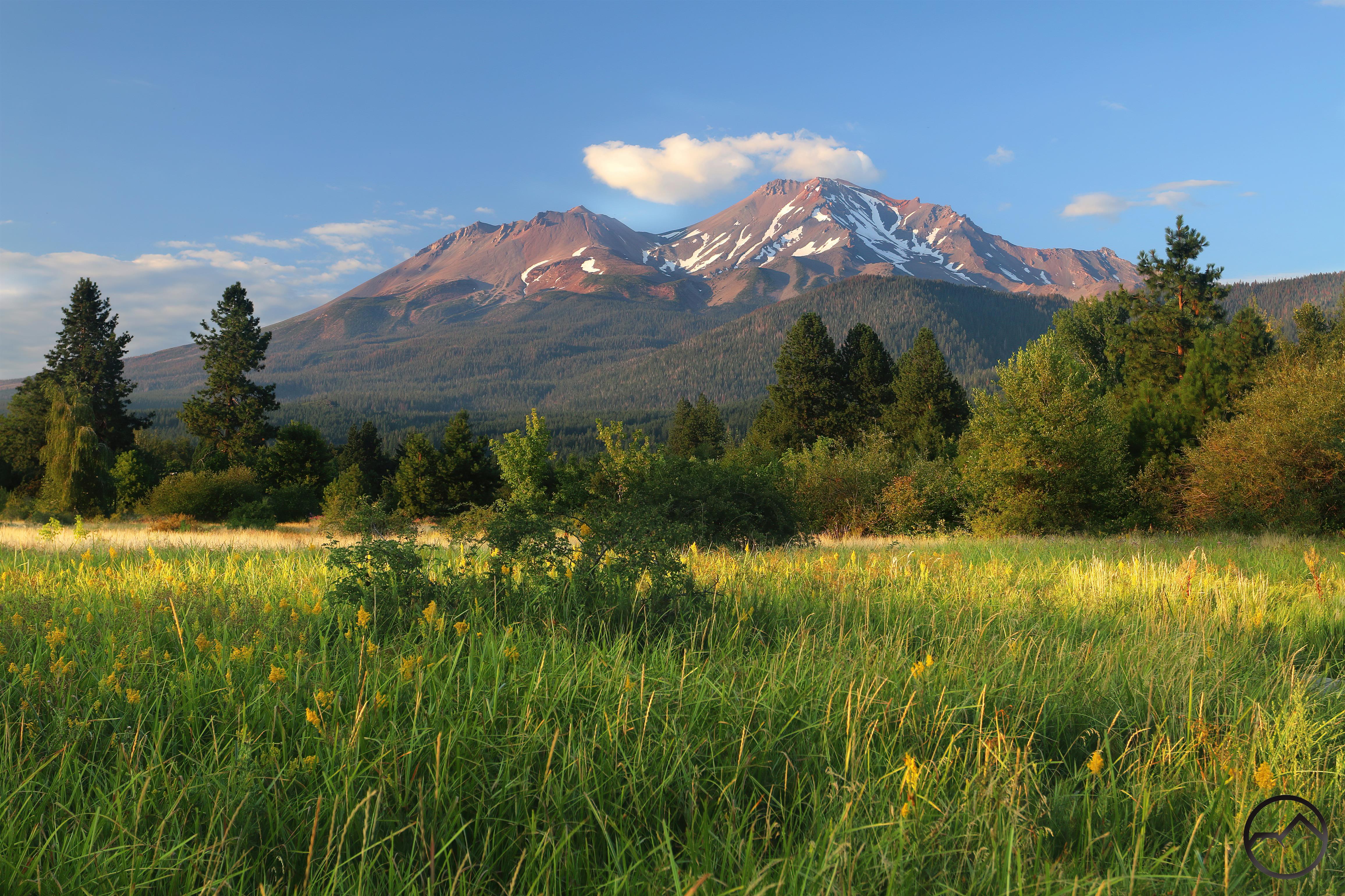
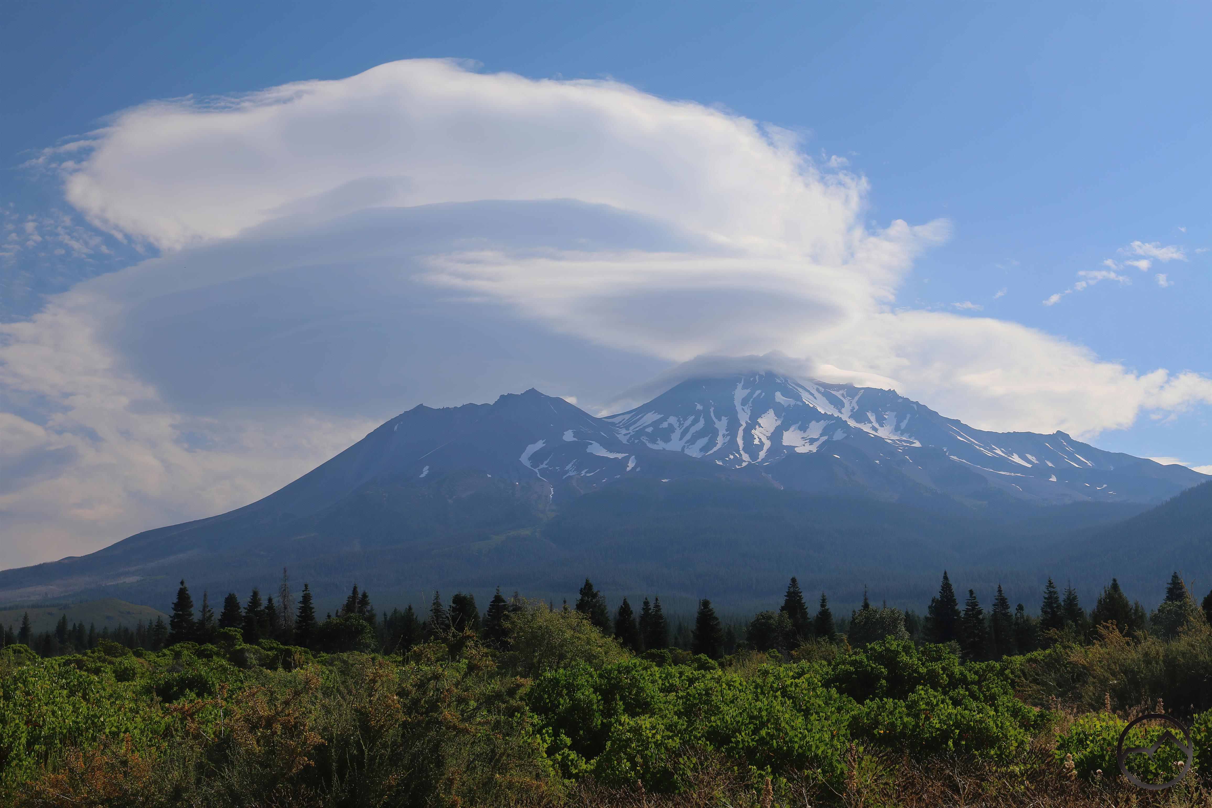
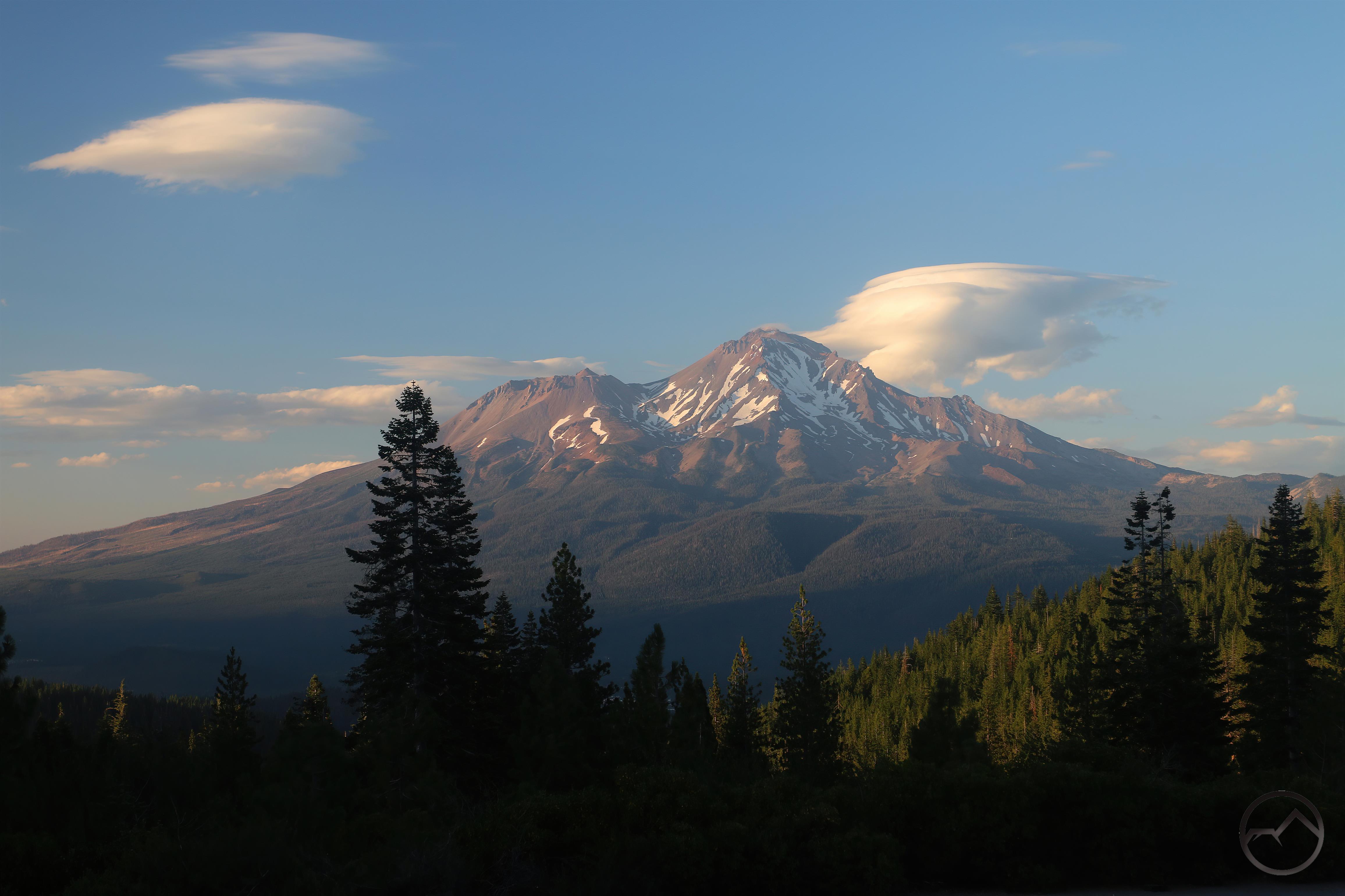
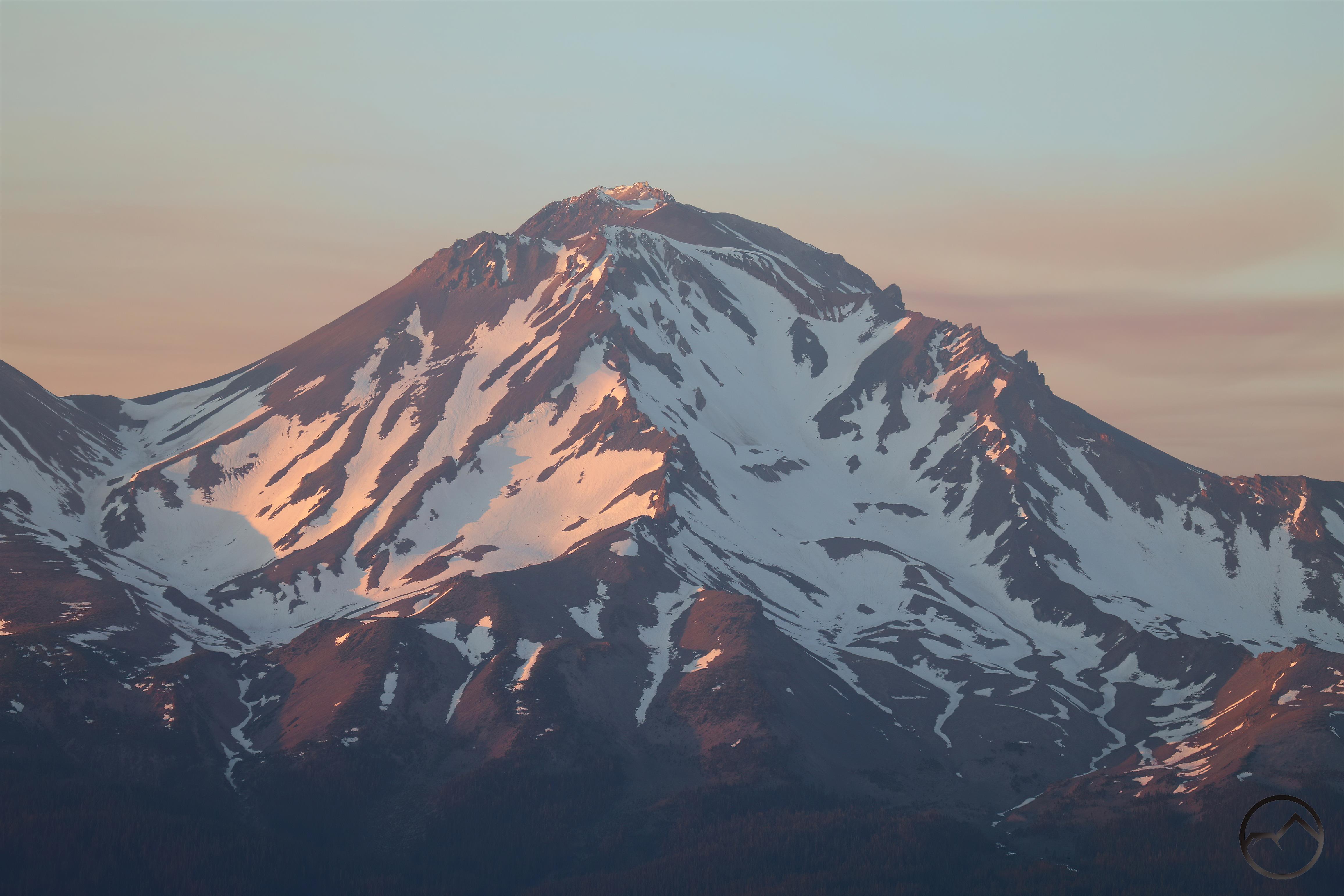
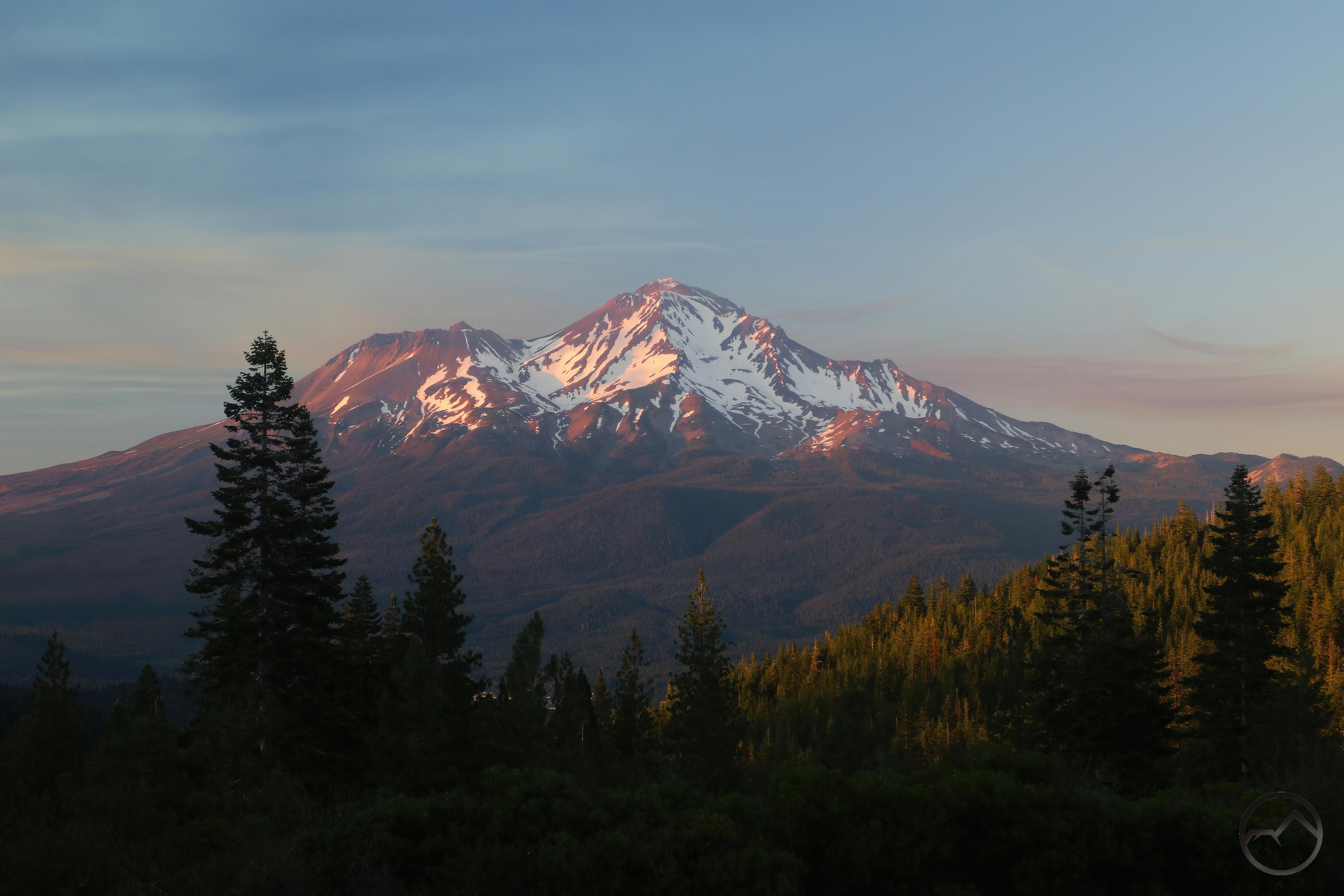
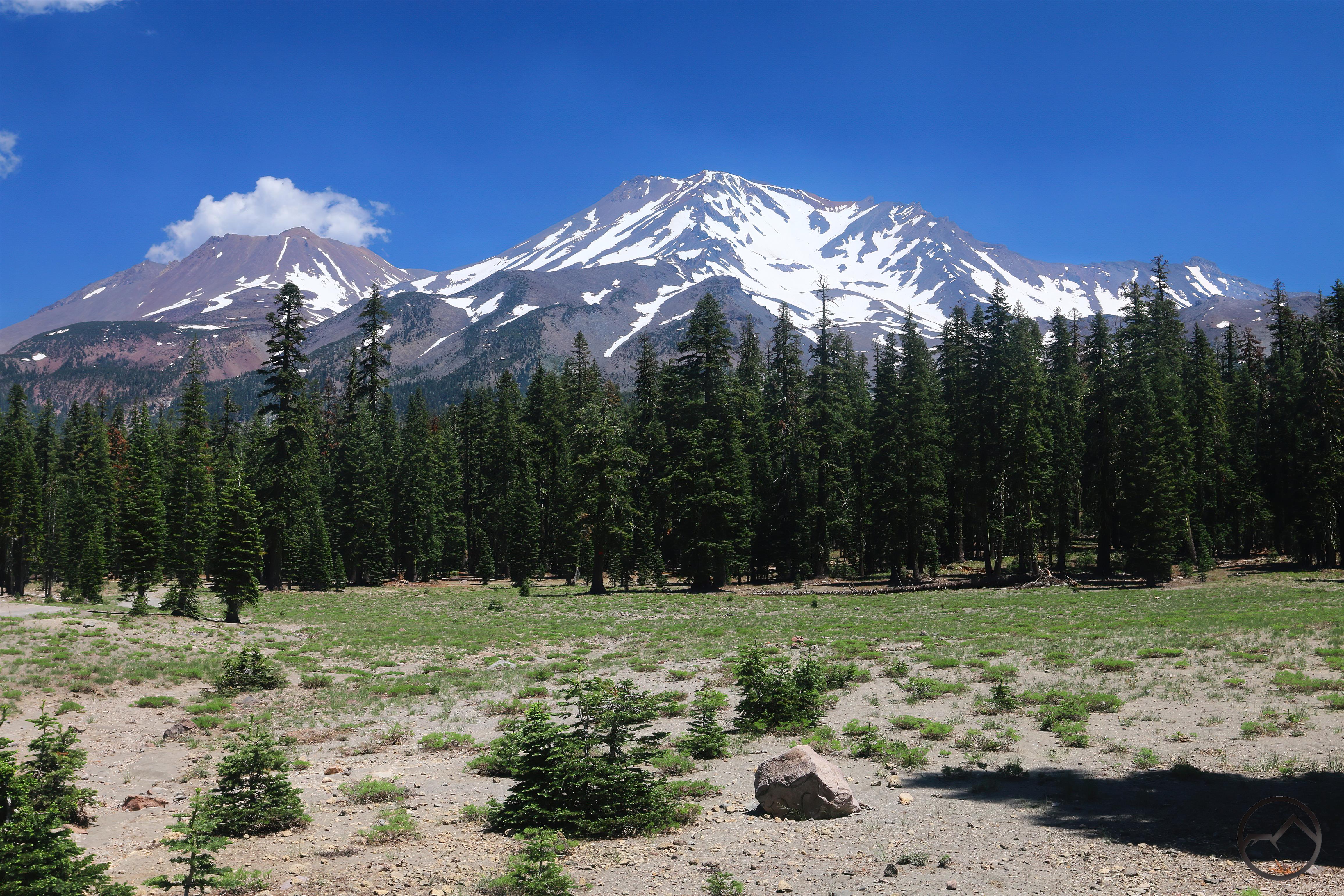
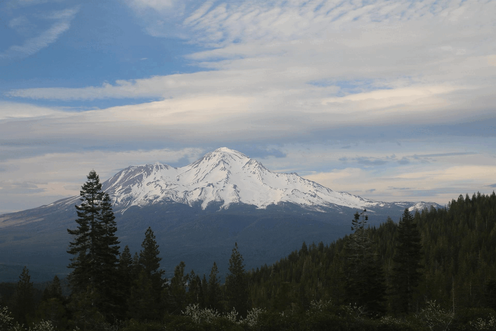
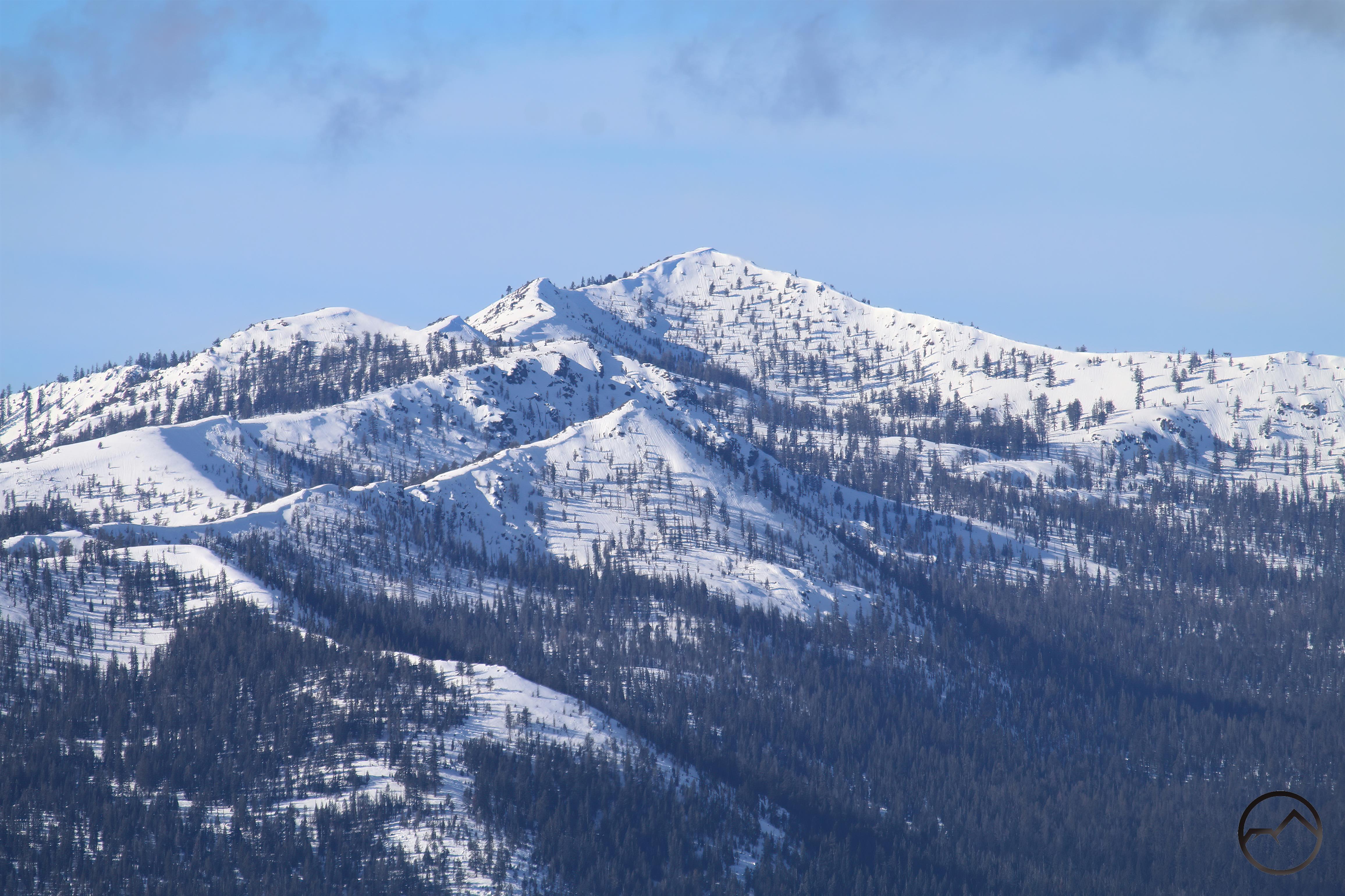
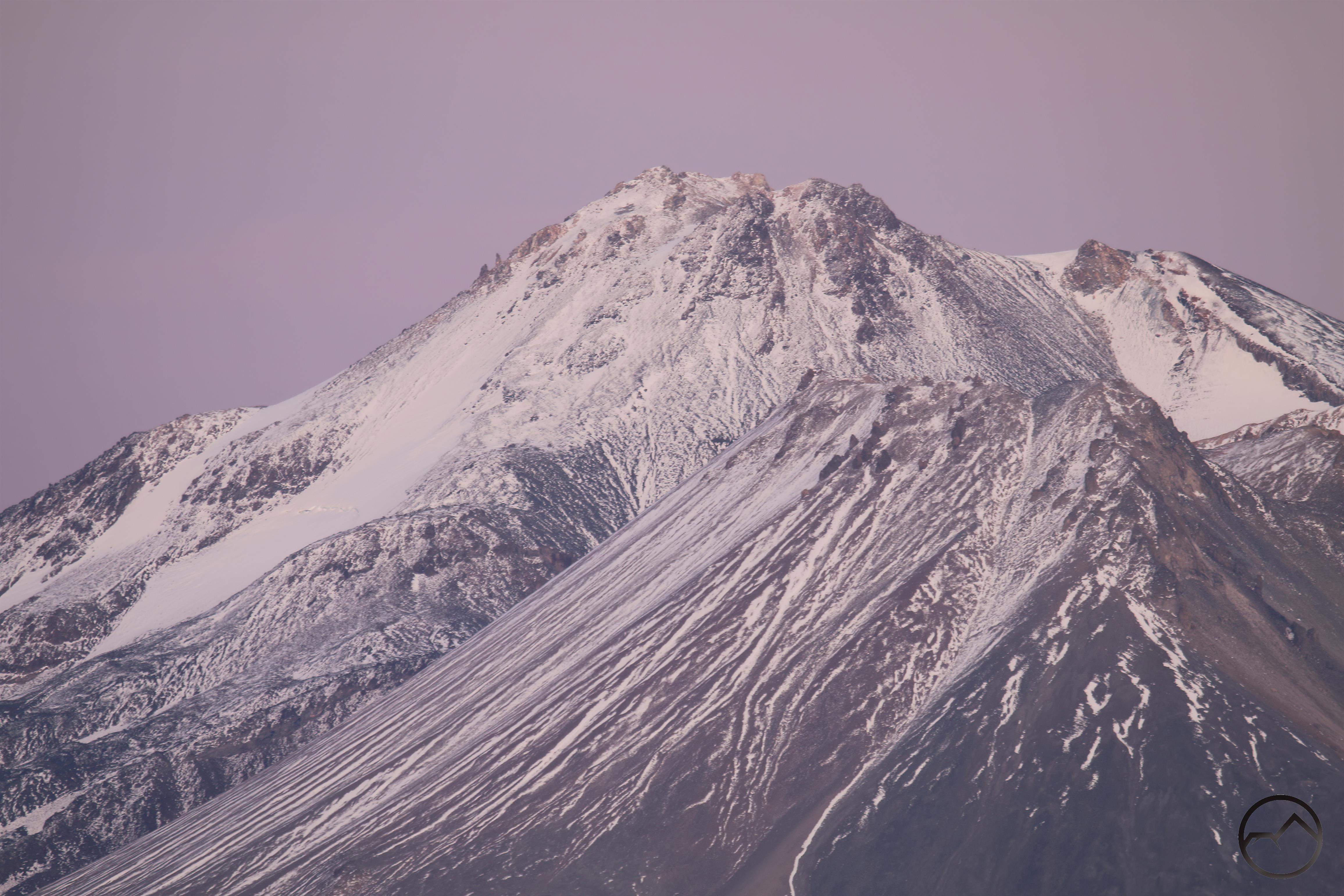
While not as powerful as other September storms of the last few years, this one did leave its mark on Mount Shasta and the upper flanks were once again white. However, below 11,000 feet it really was just an icy glaze and that melted off the first day the clouds were gone. The thicker snow has hung on for the last 5 days. This was something of a surprise, since the temperature has climbed back up to the high 70’s and the snow didn’t seem that deep.
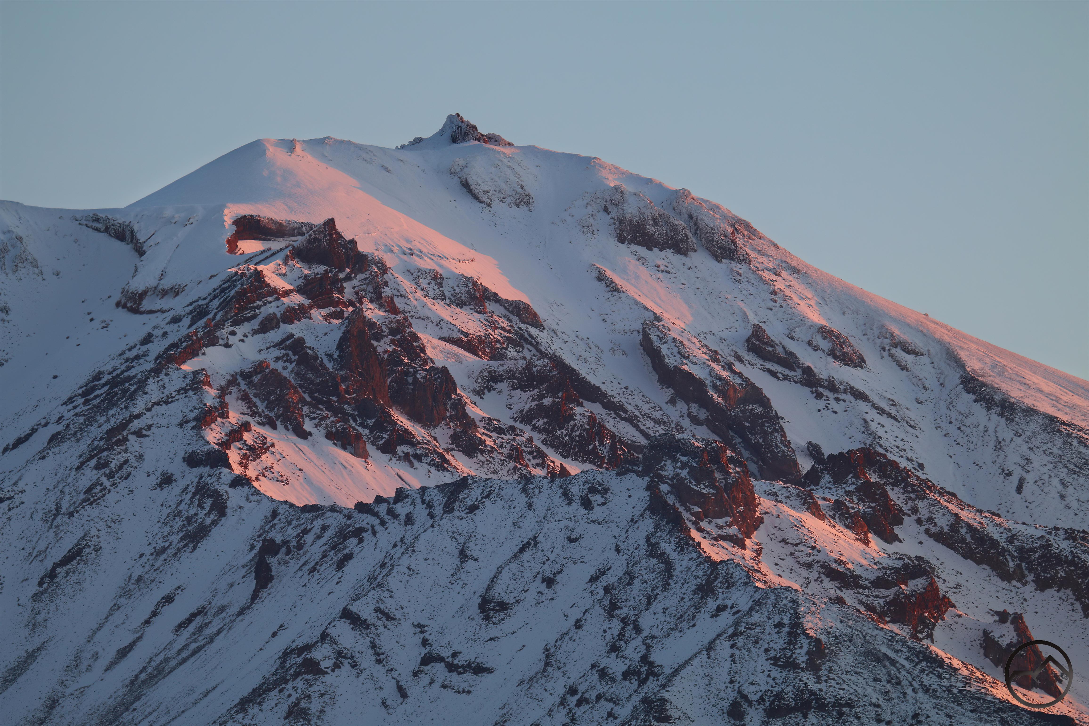
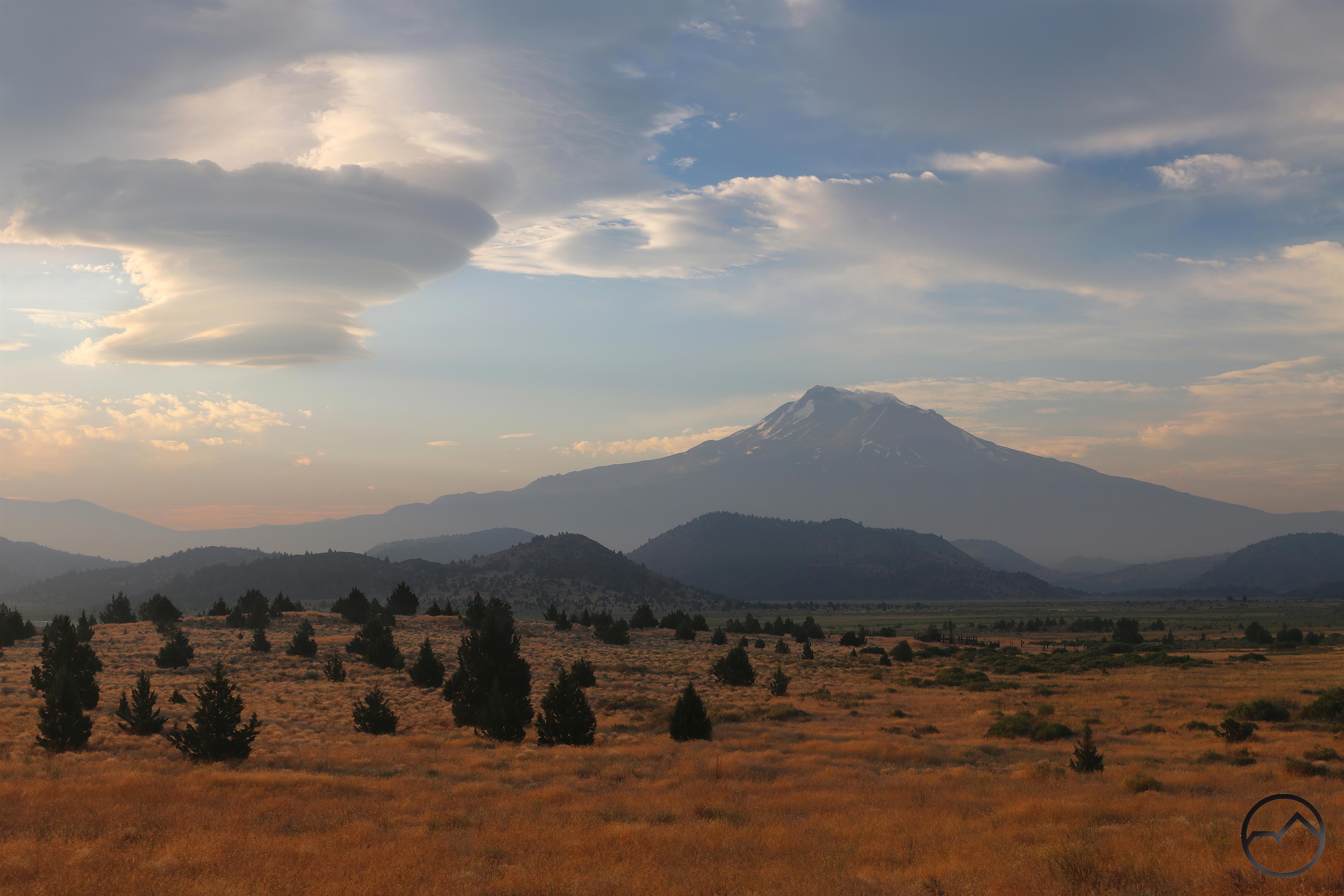
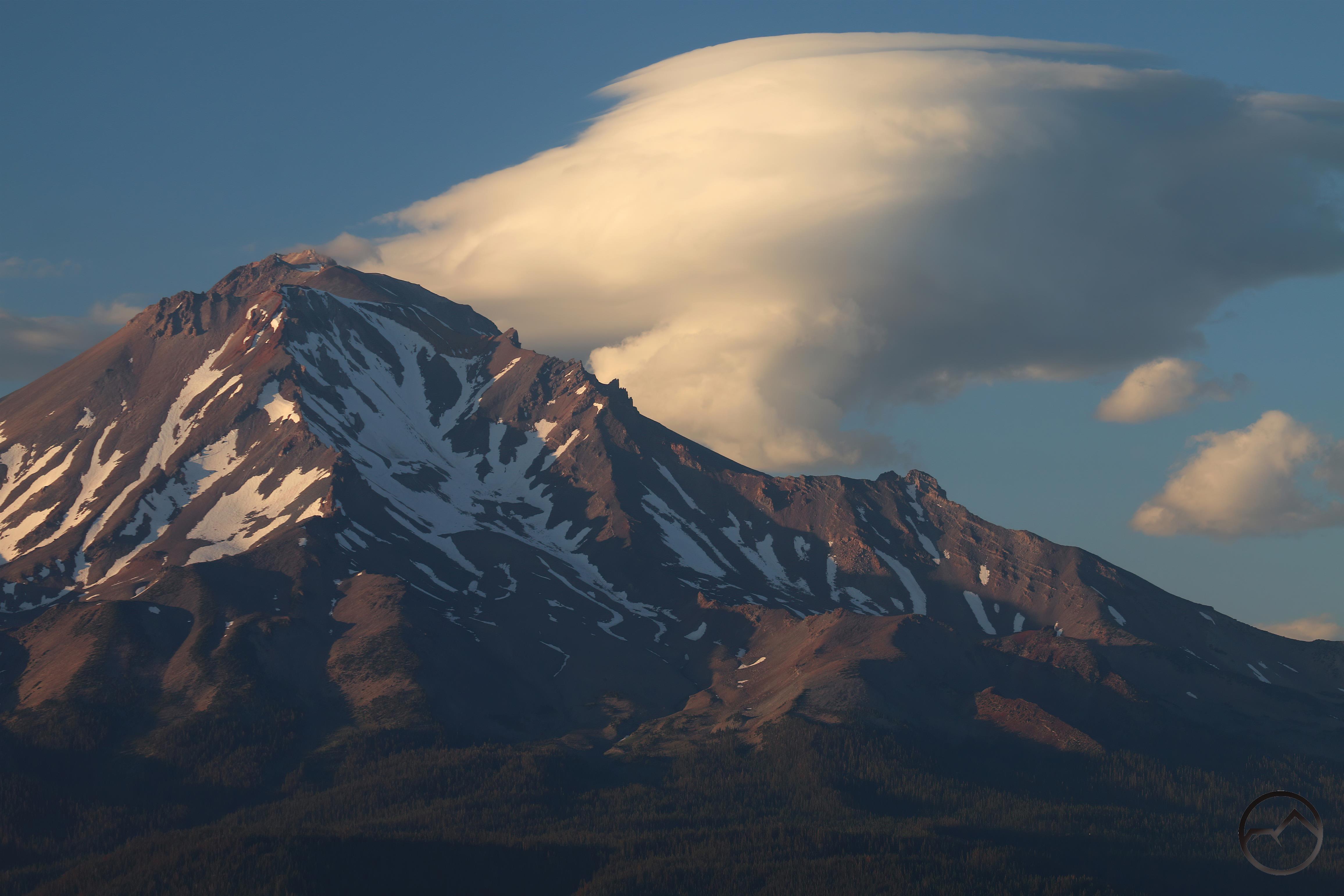
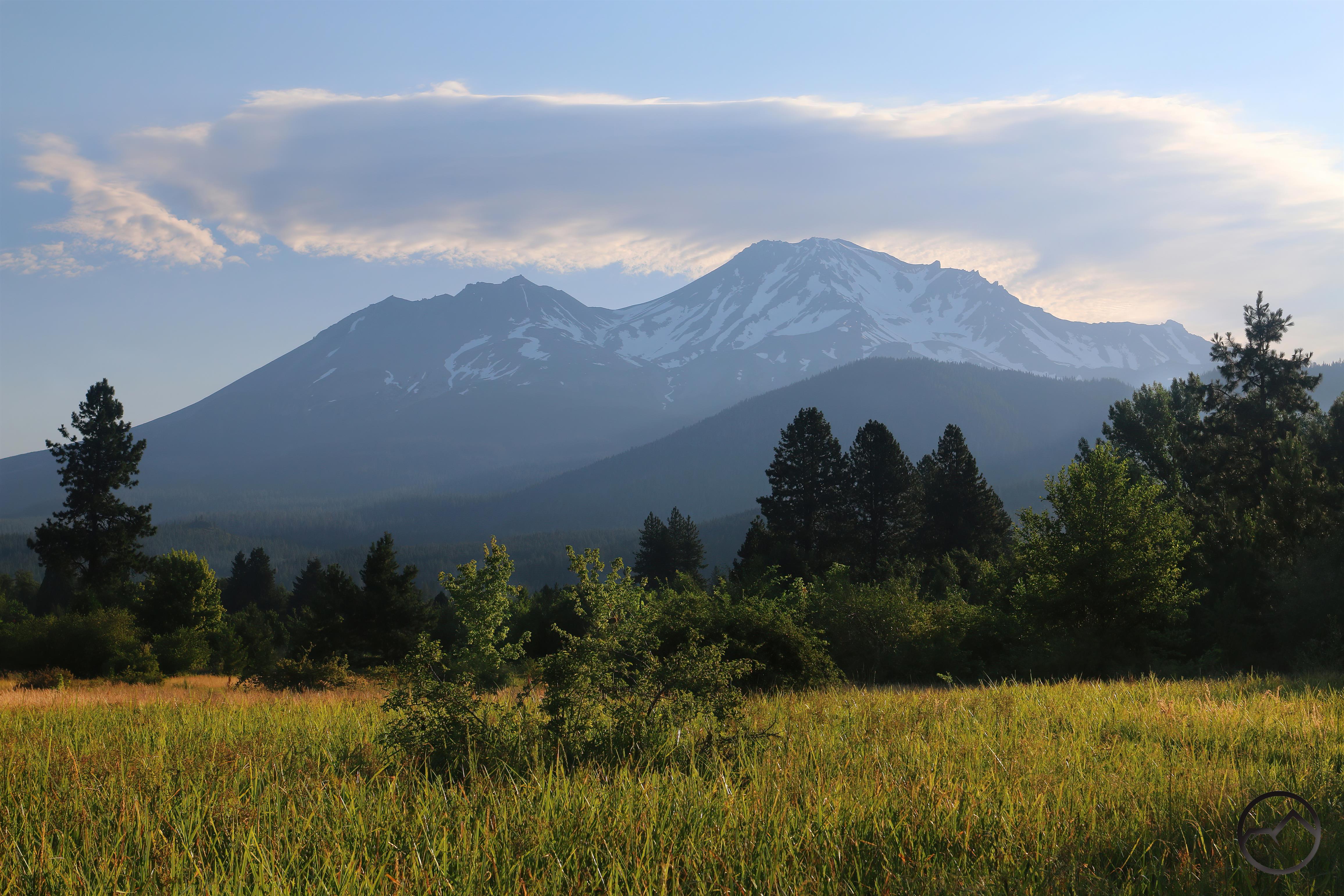
By Friday, much of the snow on the southern exposure of Mount Shasta had finally disappeared. However, the north side of the mountain managed to retain a fair amount of coverage at the higher elevations. For a relatively light amount of snow, for it to sustain for 5 plus days is impressive.
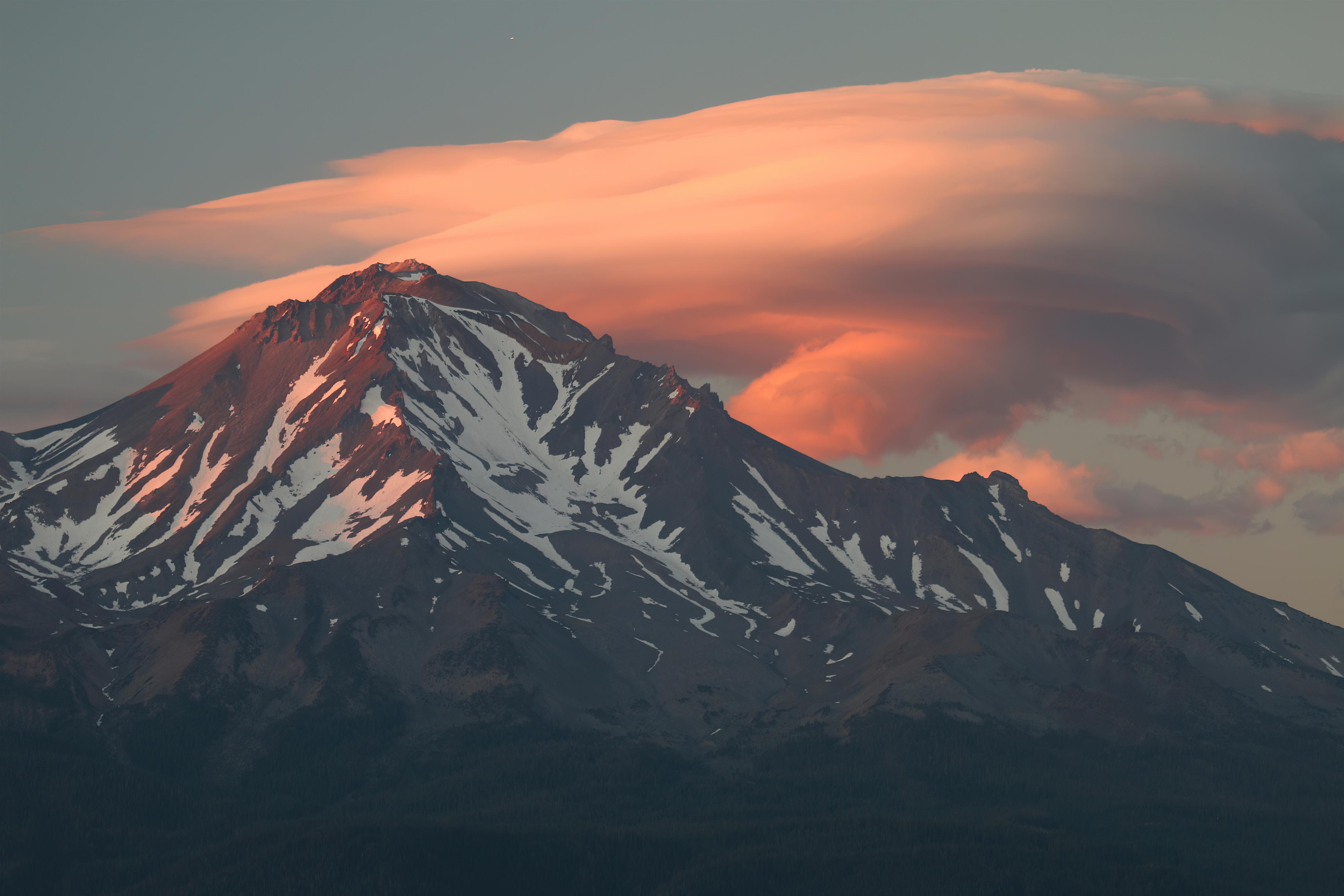
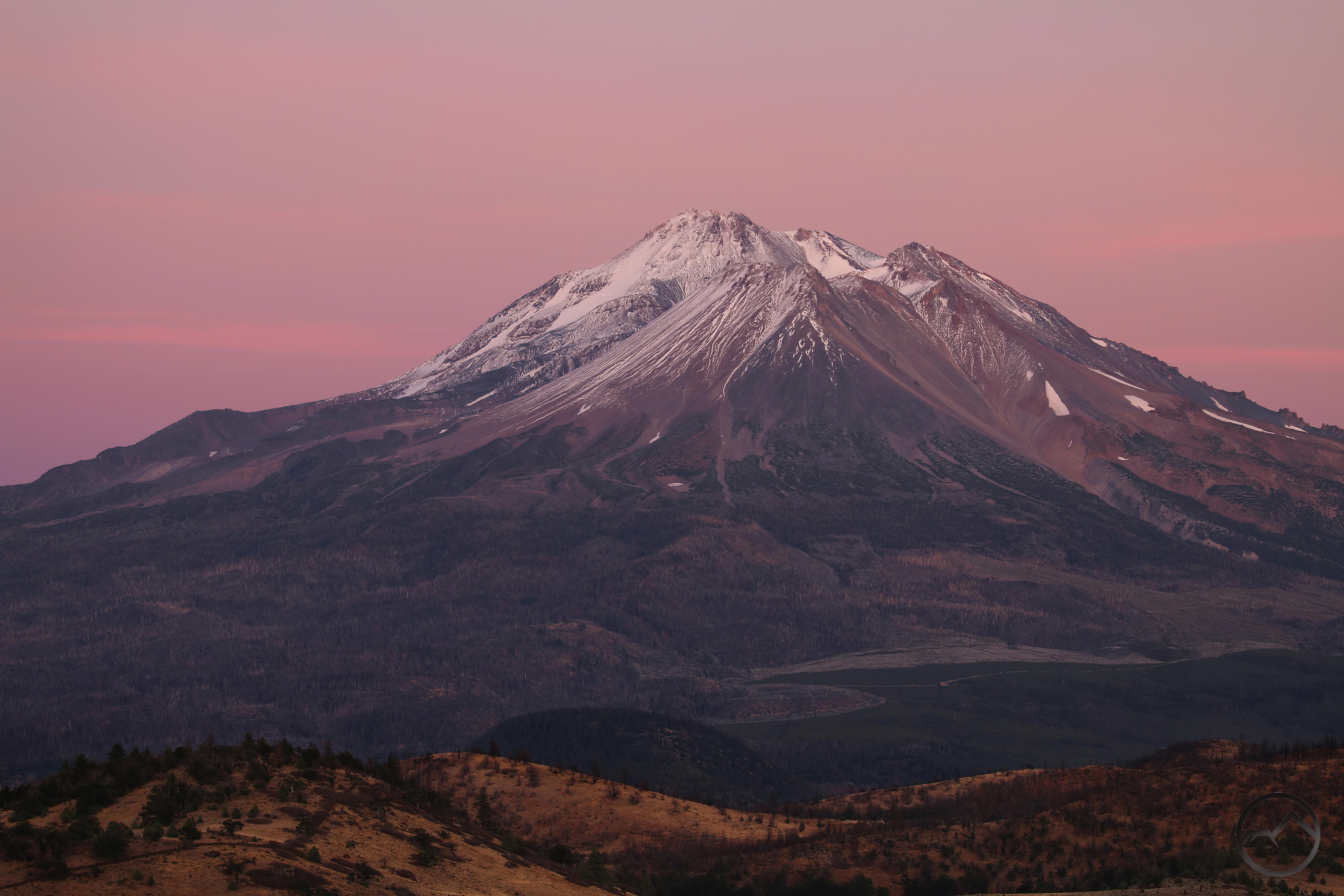
Now, as the autumnal equinox approaches and fall will well and truly begin, it is amazing to think that decent amounts of snow has fallen on Mount Shasta in both August and September. I hope that this augurs a good winter with plenty of snow!