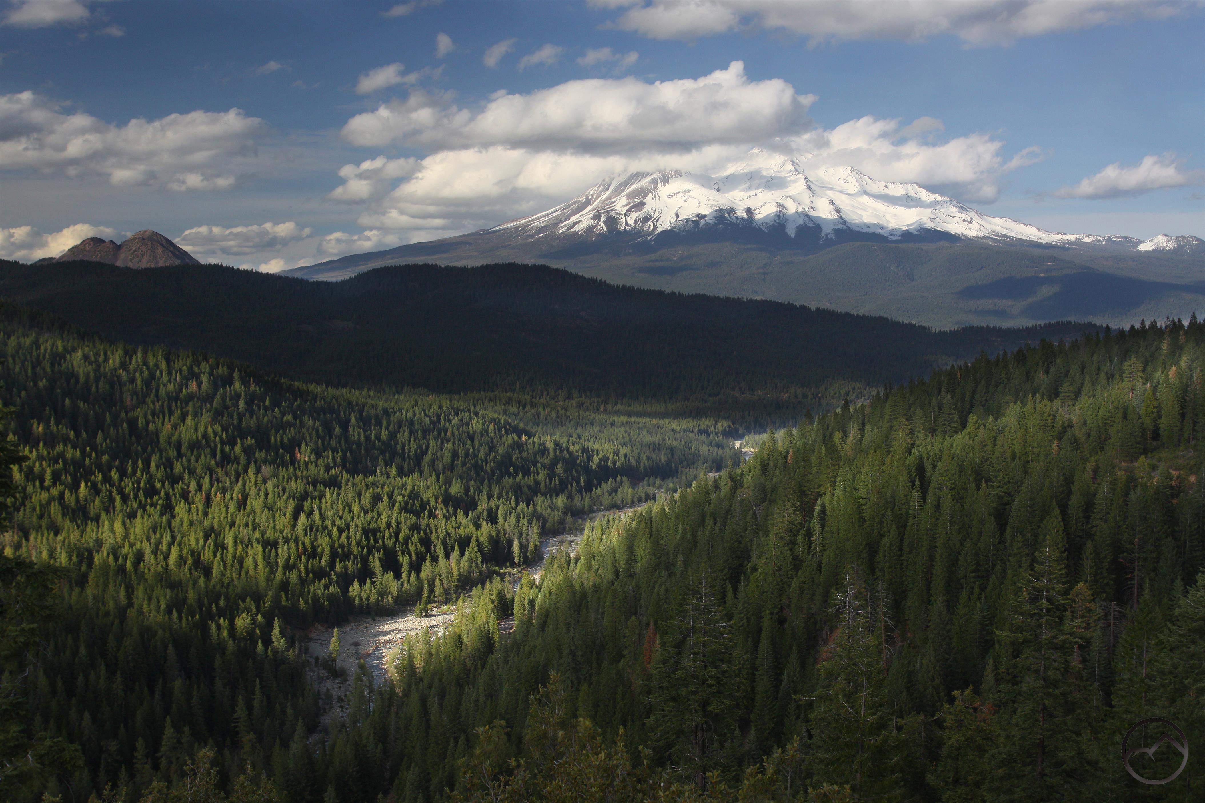
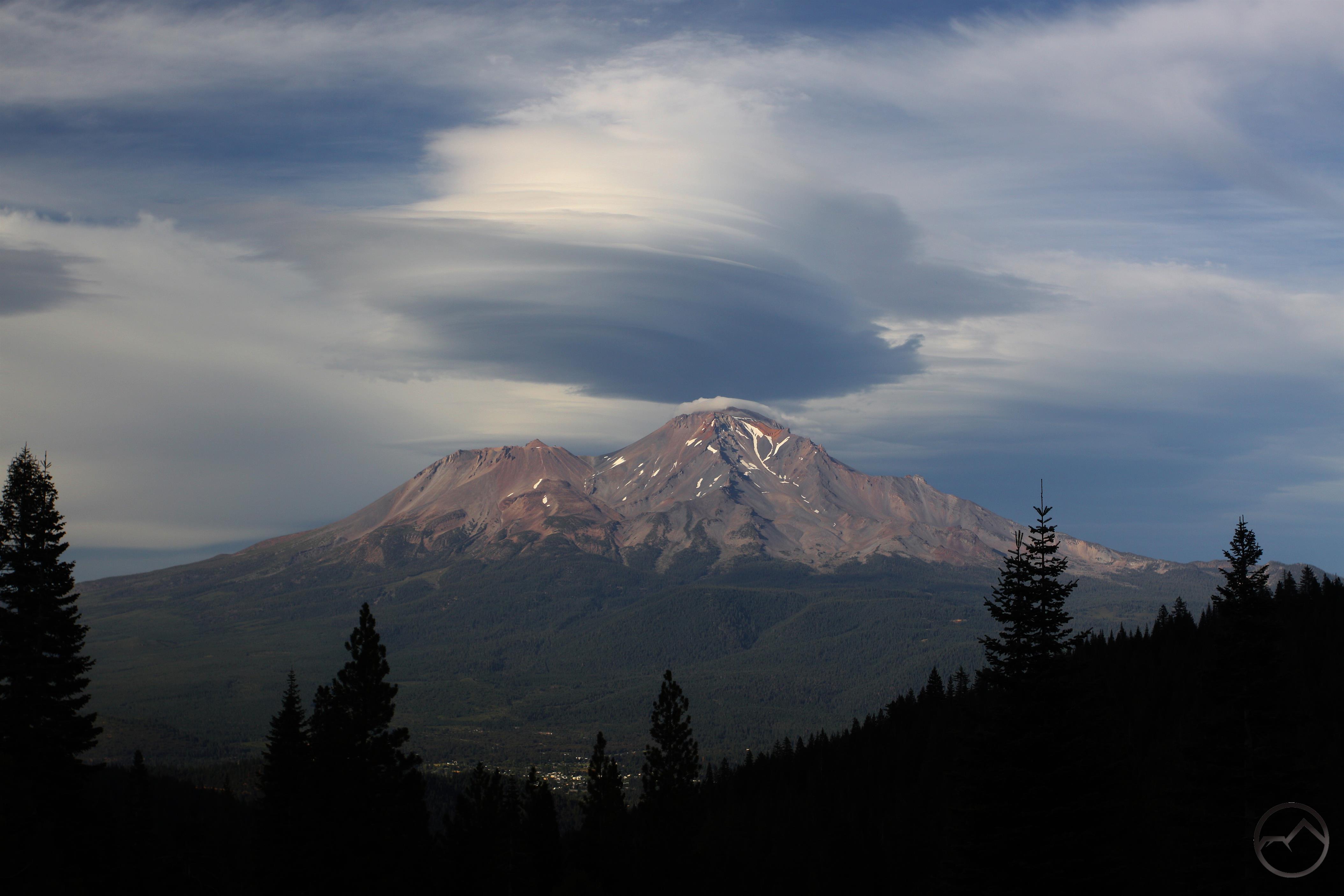
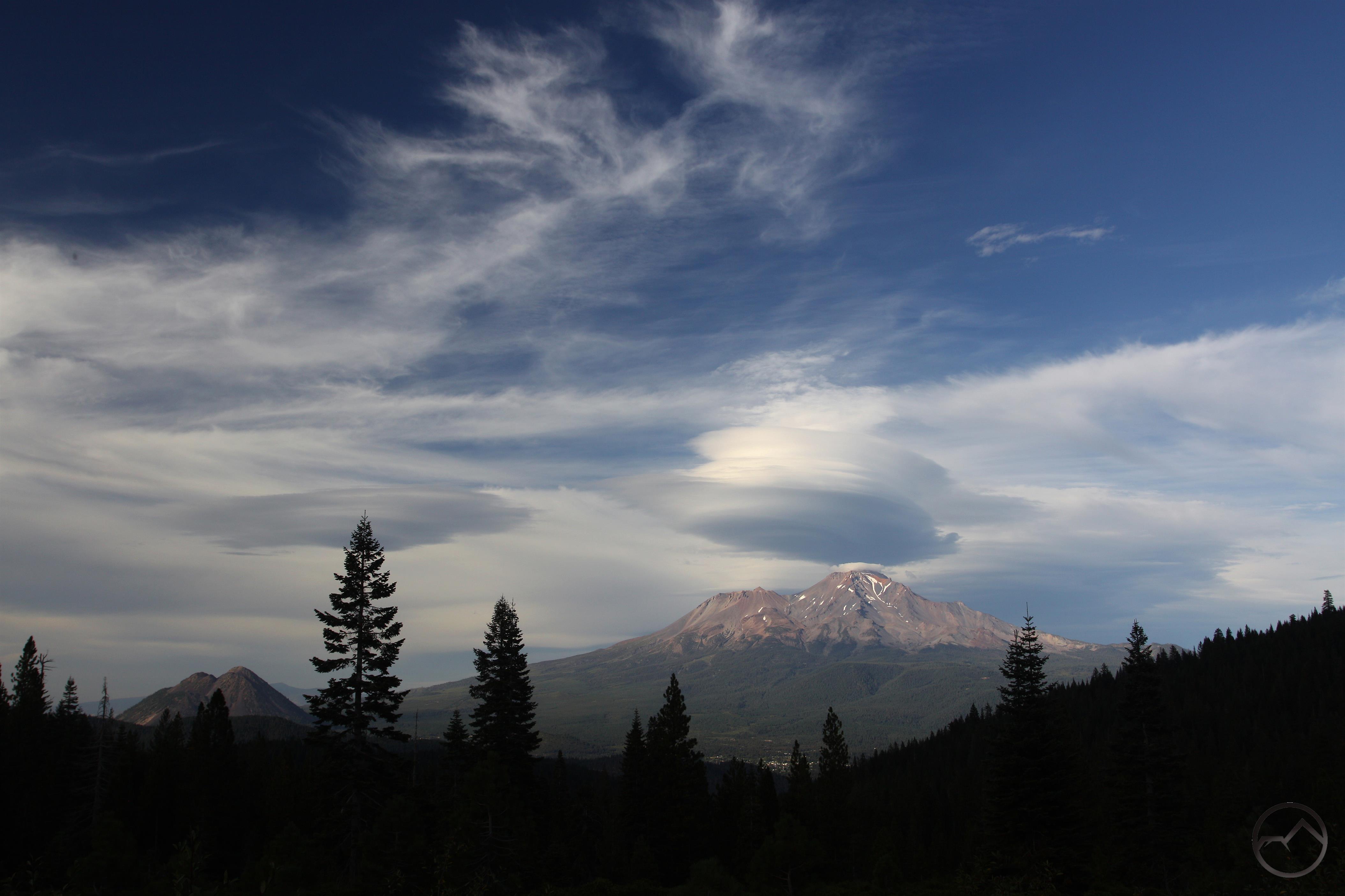
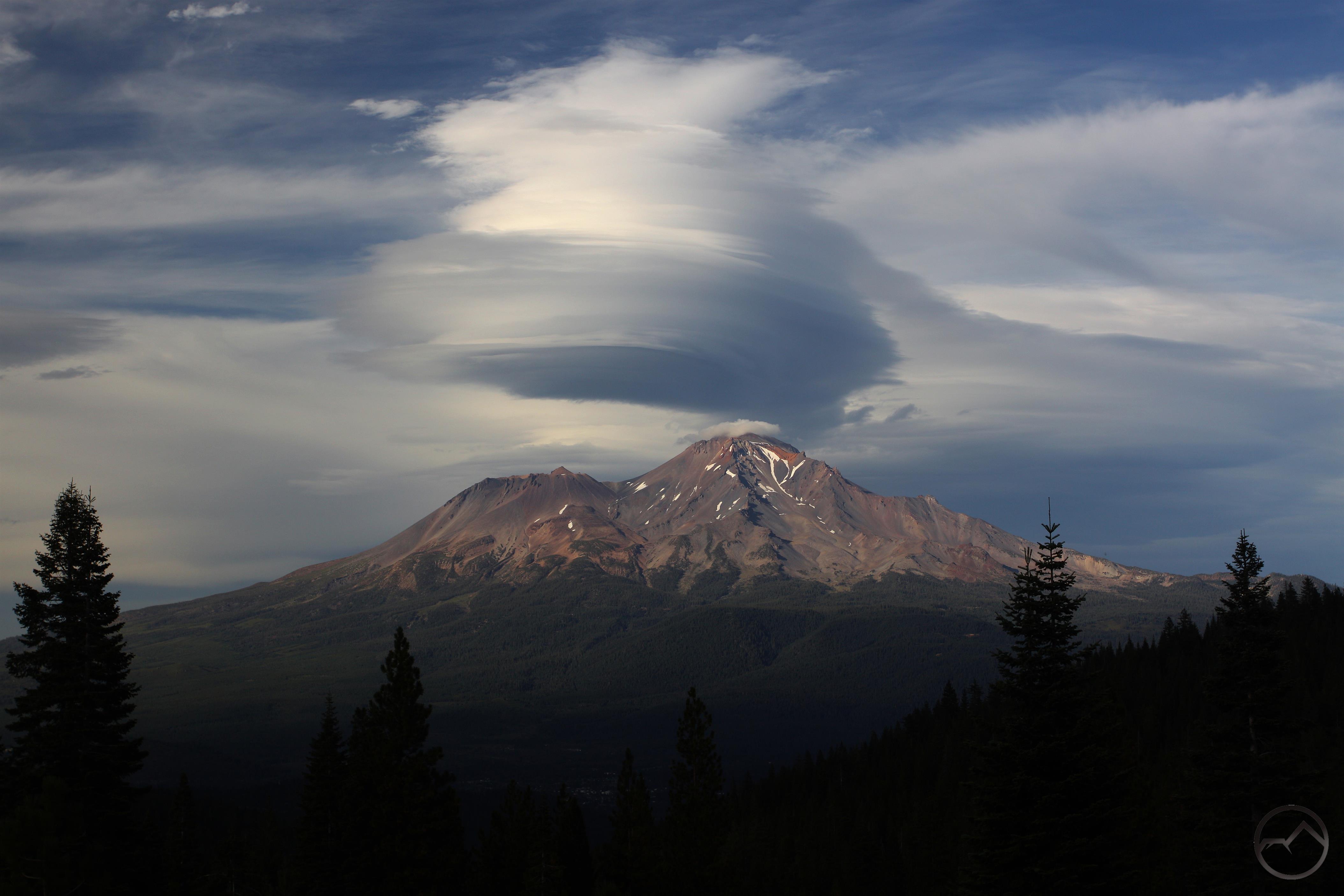
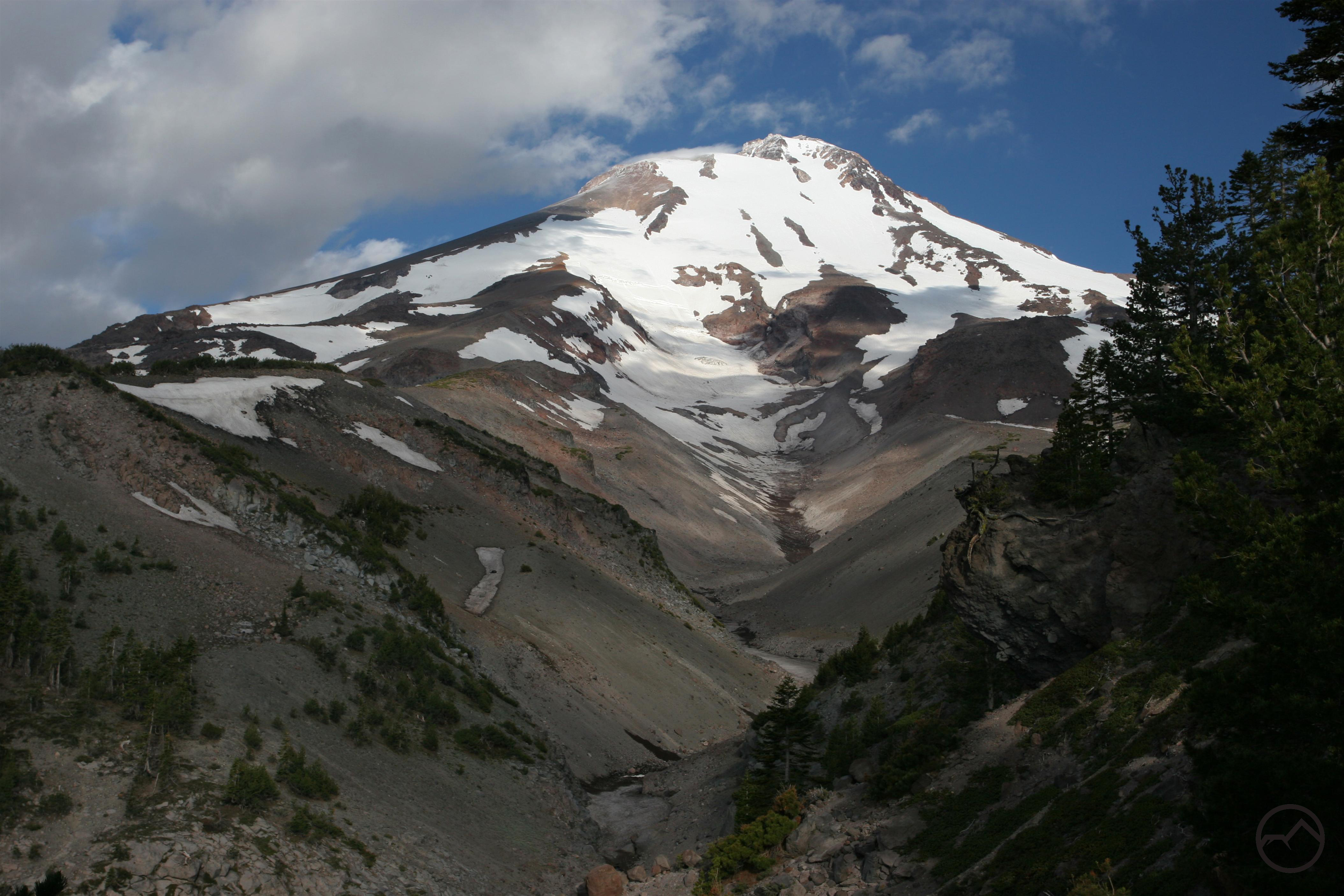
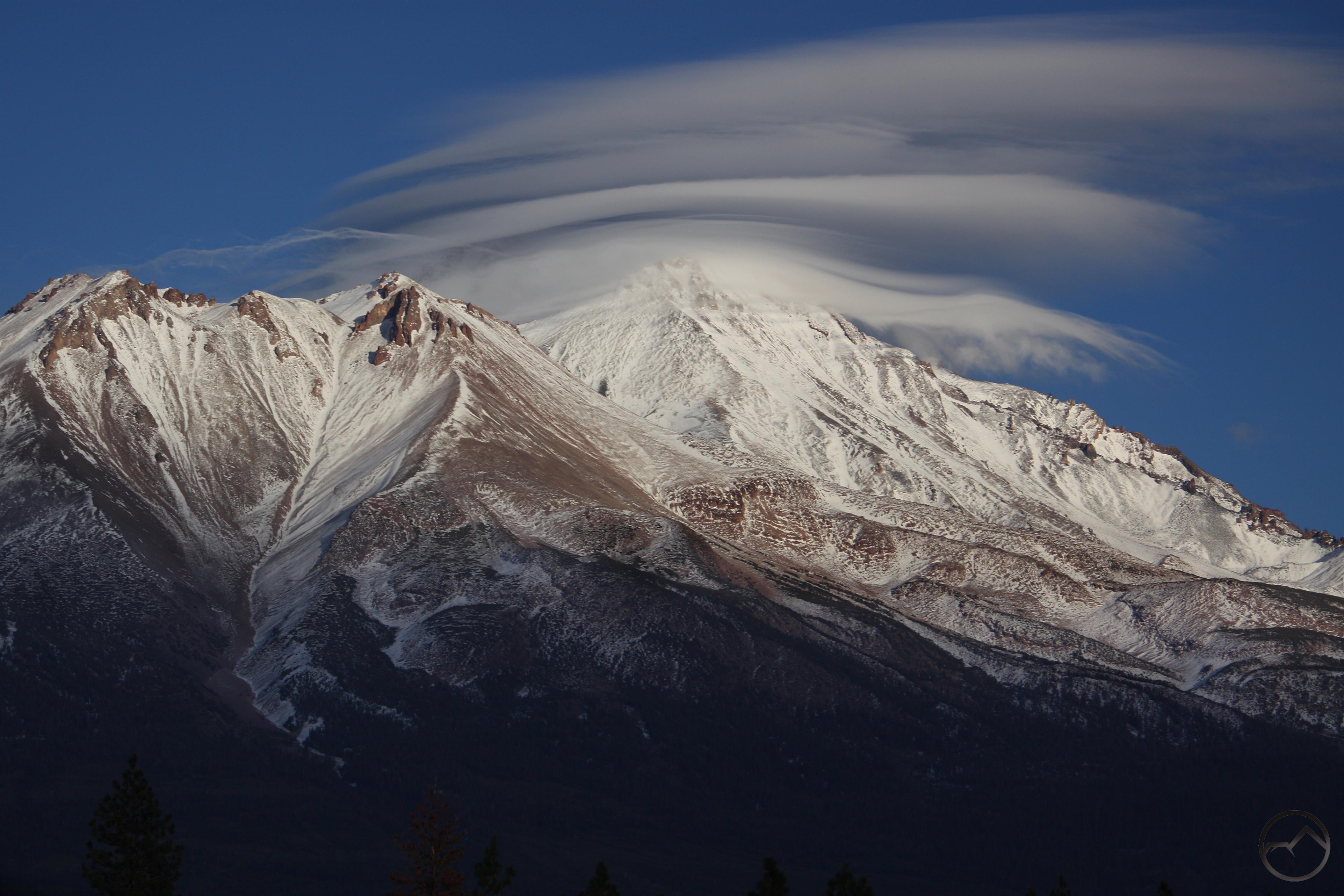
Mount Shasta is an awesome sight from the Clear Creek Trail.
The small town of McCloud does not often get brought up as a great hiking destination. It is widely recognized as a beautiful, historic and peaceful community and a great vacation getaway. Yet, it is not mentioned as the place to go for a plethora of great trails. Nearby Mount Shasta City generally takes up all the oxygen as the hiking epicenter. This is for good reason, given its proximity to the Everitt Memorial Highway (the only paved road up Mount Shasta), the Trinity Divide, and the abundance of trails immediately outside the city. Yet Mount Shasta City’s accolades should not come at McCloud’s expense. There are a variety of fantastic trails located not far from town. The McCloud River naturally comes to mind as the top attraction but there other paths of spectacular beauty found outside of McCloud that deserve recognition. The best of these are the trails on Mount Shasta itself. Though not often considered in this context, McCloud is the gateway to the east side of the mountain. Despite being a bit of a drive from town, hiker must pass through McCloud to get to them and these are some of the best trails on Mount Shasta. Whether it is the high trails on the mountain or roaring waterfalls, McCloud has a lot to offer hikers, even if it does not have a great reputation as a great hiking destination.
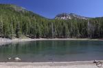
Upper McCloud River Trails
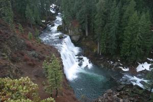
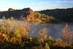
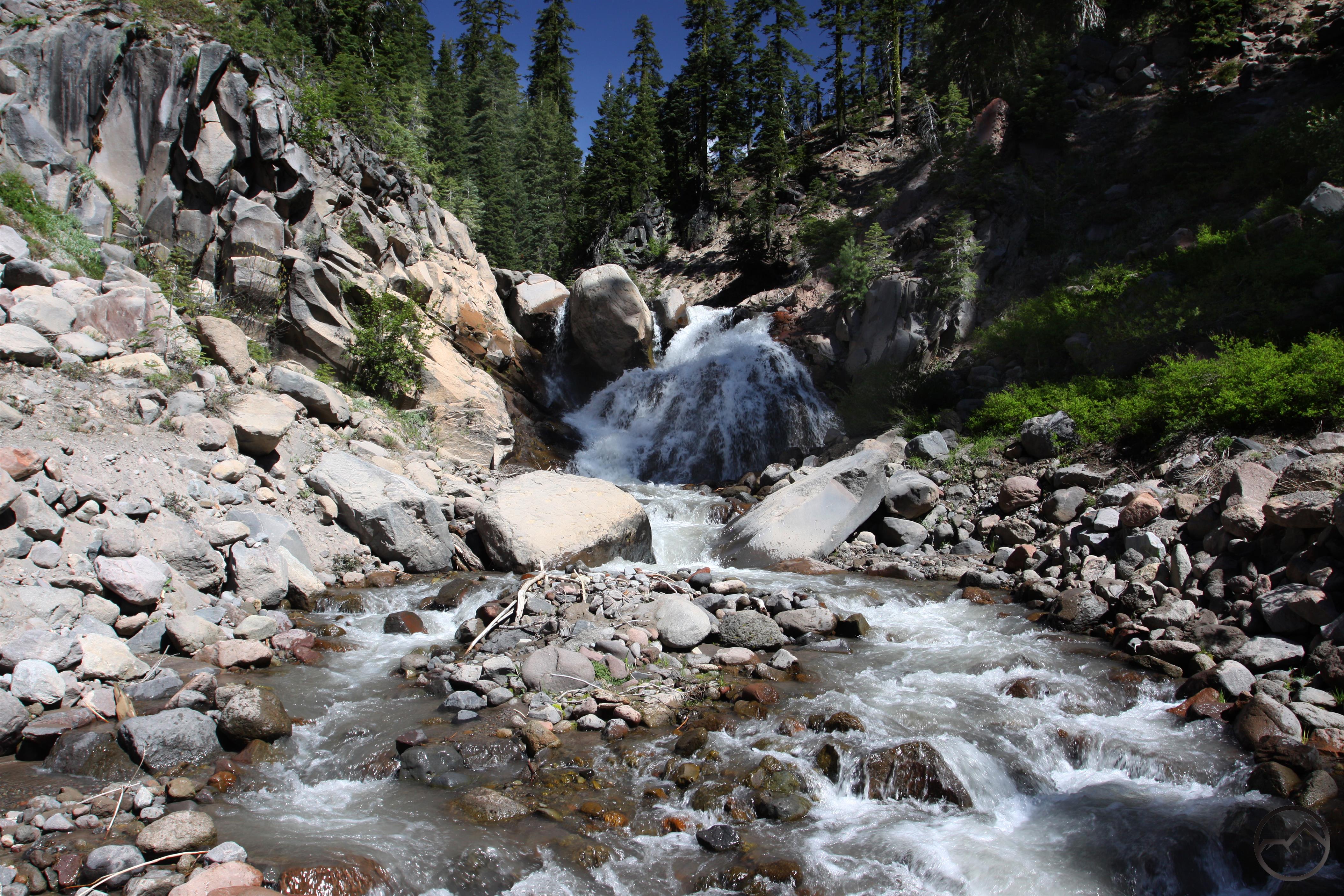
Middle McCloud Falls
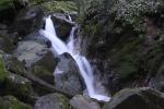
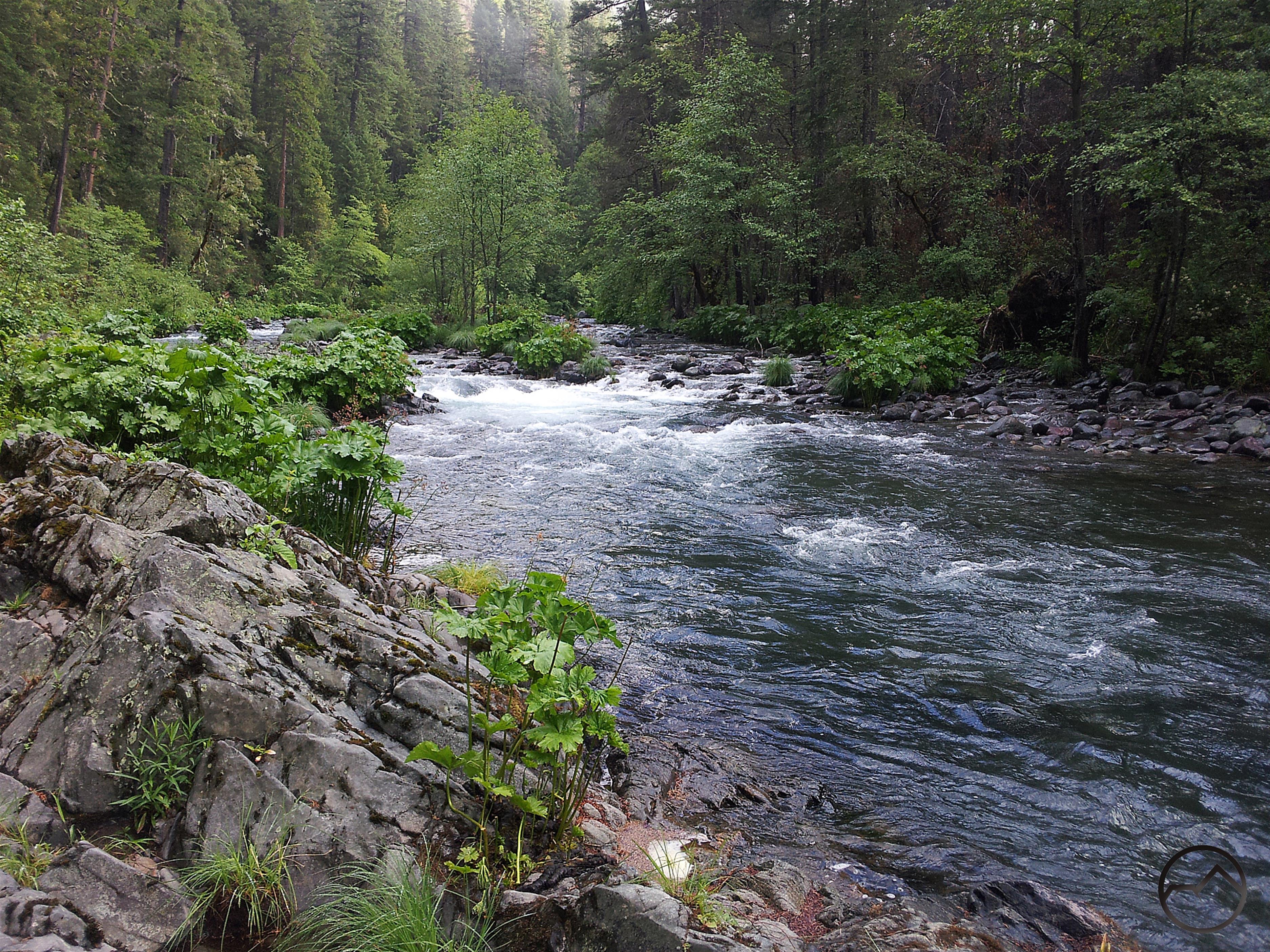
The trails of the Upper McCloud River are probably the first that come to mind when thinking of Mount Shasta. Here hikers will find the river’s famous trio of waterfalls. The falls are among the most popular destinations in McCloud and deserve to be so. The trail connecting the three cataracts is an awesome path that hugs the river, exposes fascinating geology and offers many excellent views of the waterfalls. Yet the spectacle of falling water makes it easy to overlook the rest of the great trails in this area. The falls trail is really just a small section of the McCloud River Trail, a long track the parallels the river from the Algoma Campground to the Pine Hollow River Access, downstream from Lower Falls. Though the rest of the trail lacks the drama and power of the waterfalls, it is still a wonderfully beautiful hike with solitude, great swimming holes, old forests and the ever present river right along the path. The entire trail can be broken up and hiked in sections, making numerous day hiking opportunities. It is also possible to the whole trail as one long shuttle hike. Whether hiking the awesome section along the falls or wandering the lonely course of the McCloud River Trail, hikers won’ regret a trip to the Upper McCloud.
McCloud River Falls Trail
McCloud River Trail
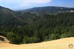
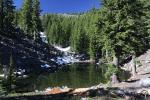
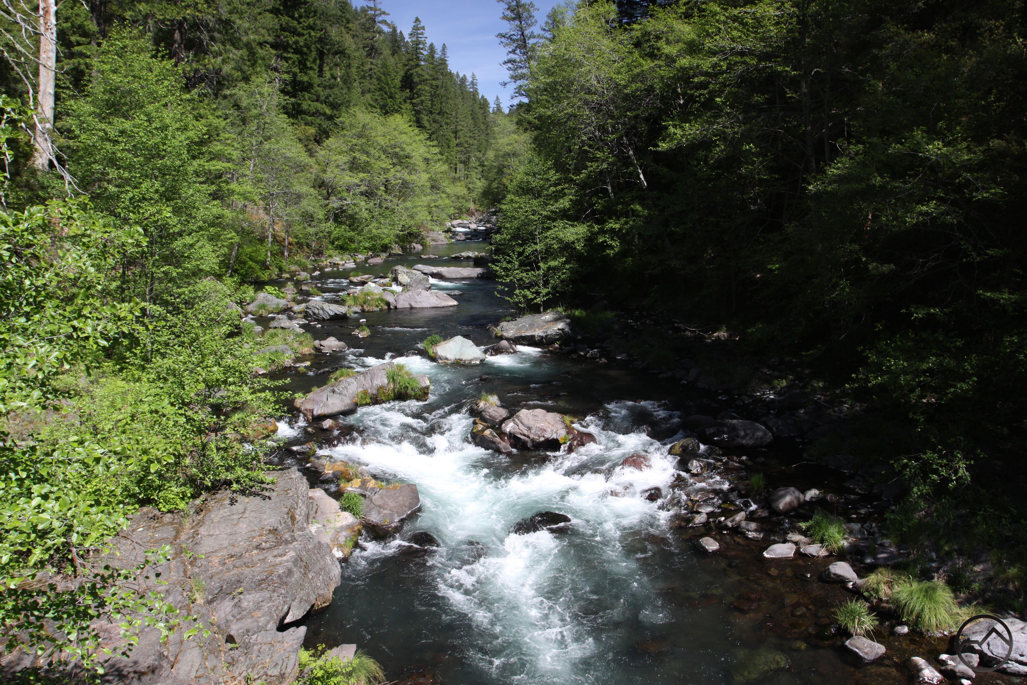
Lower McCloud River Trails

PCT view of the McCloud River
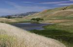
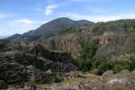
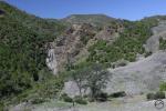
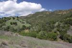
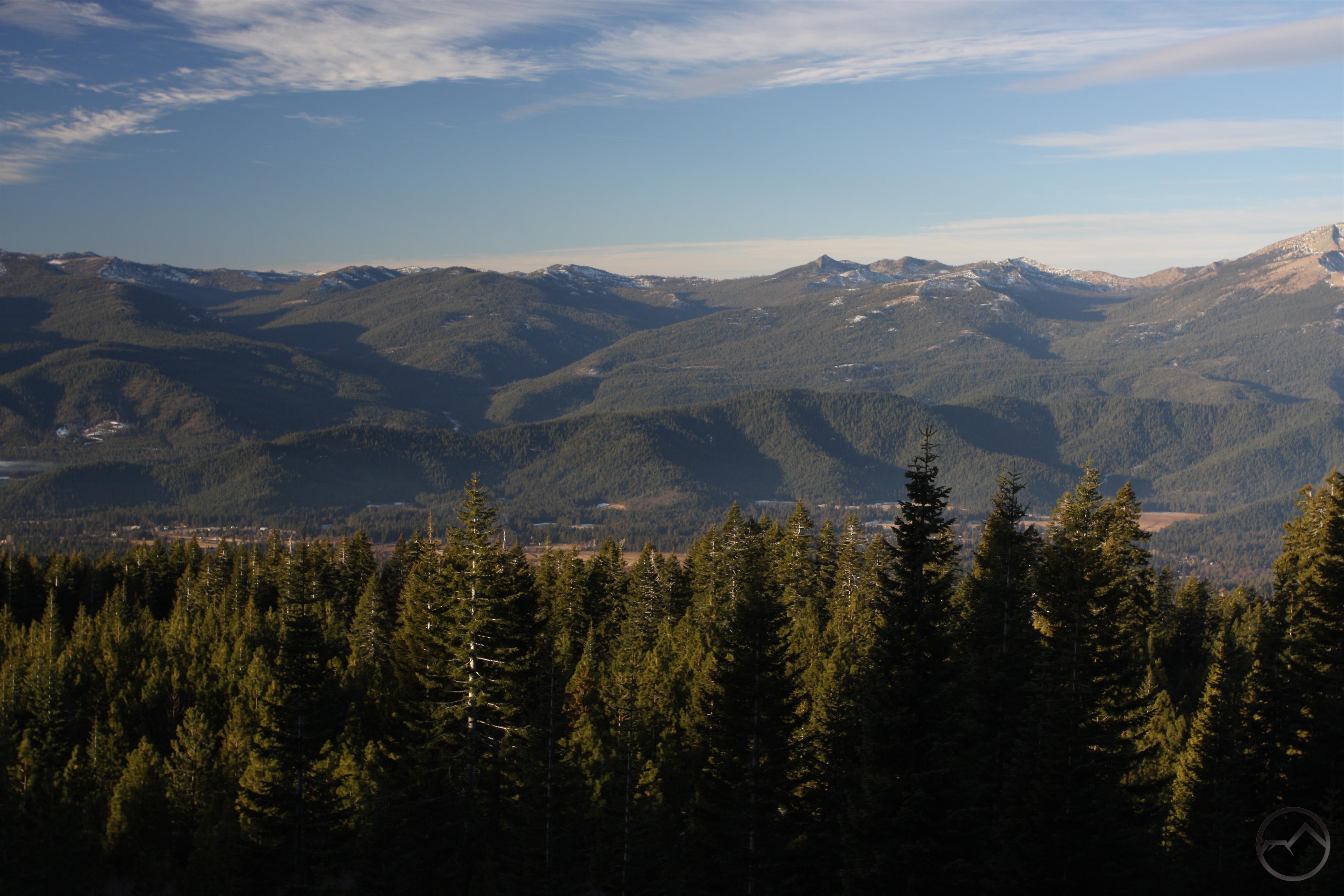
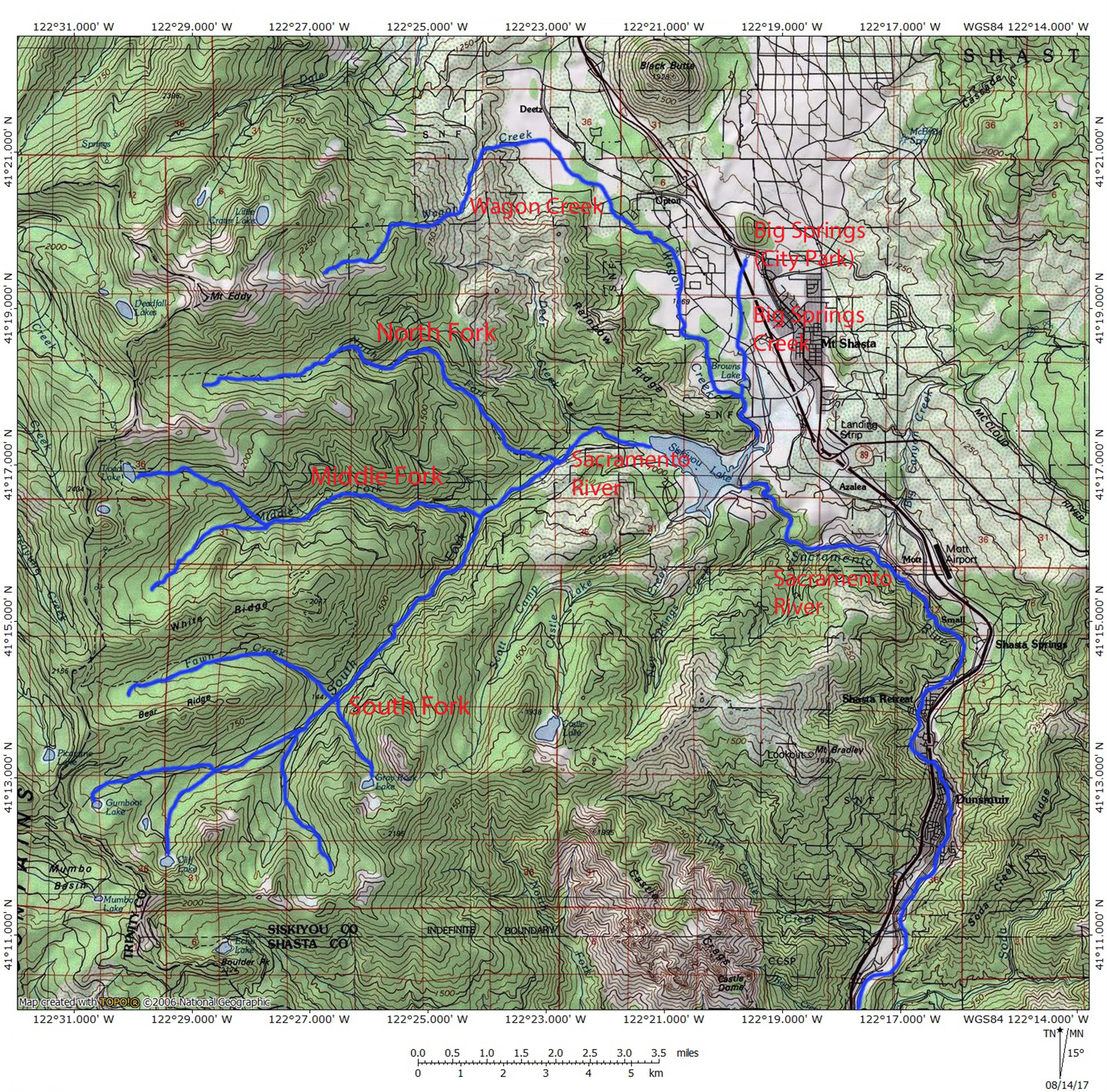
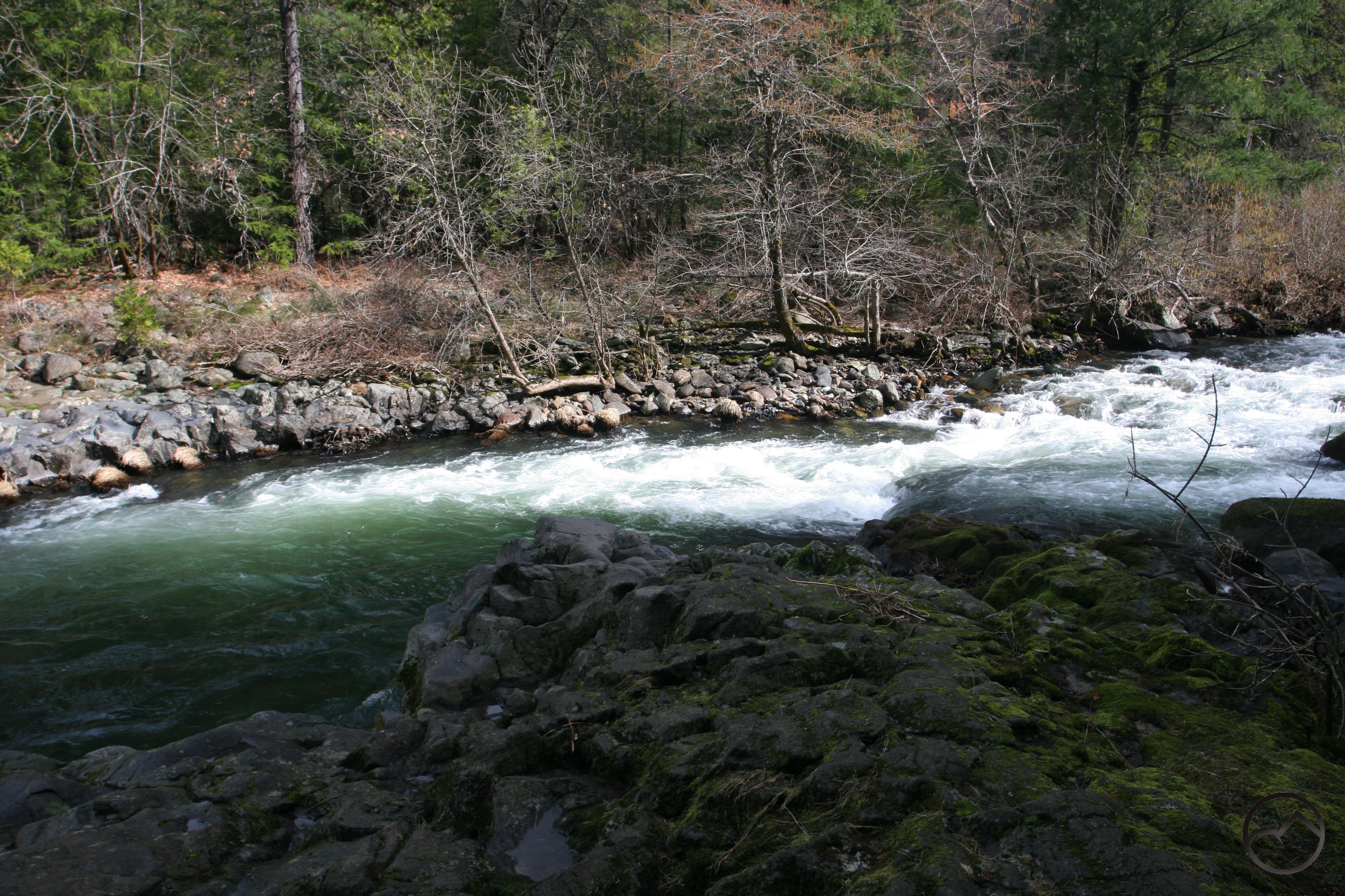
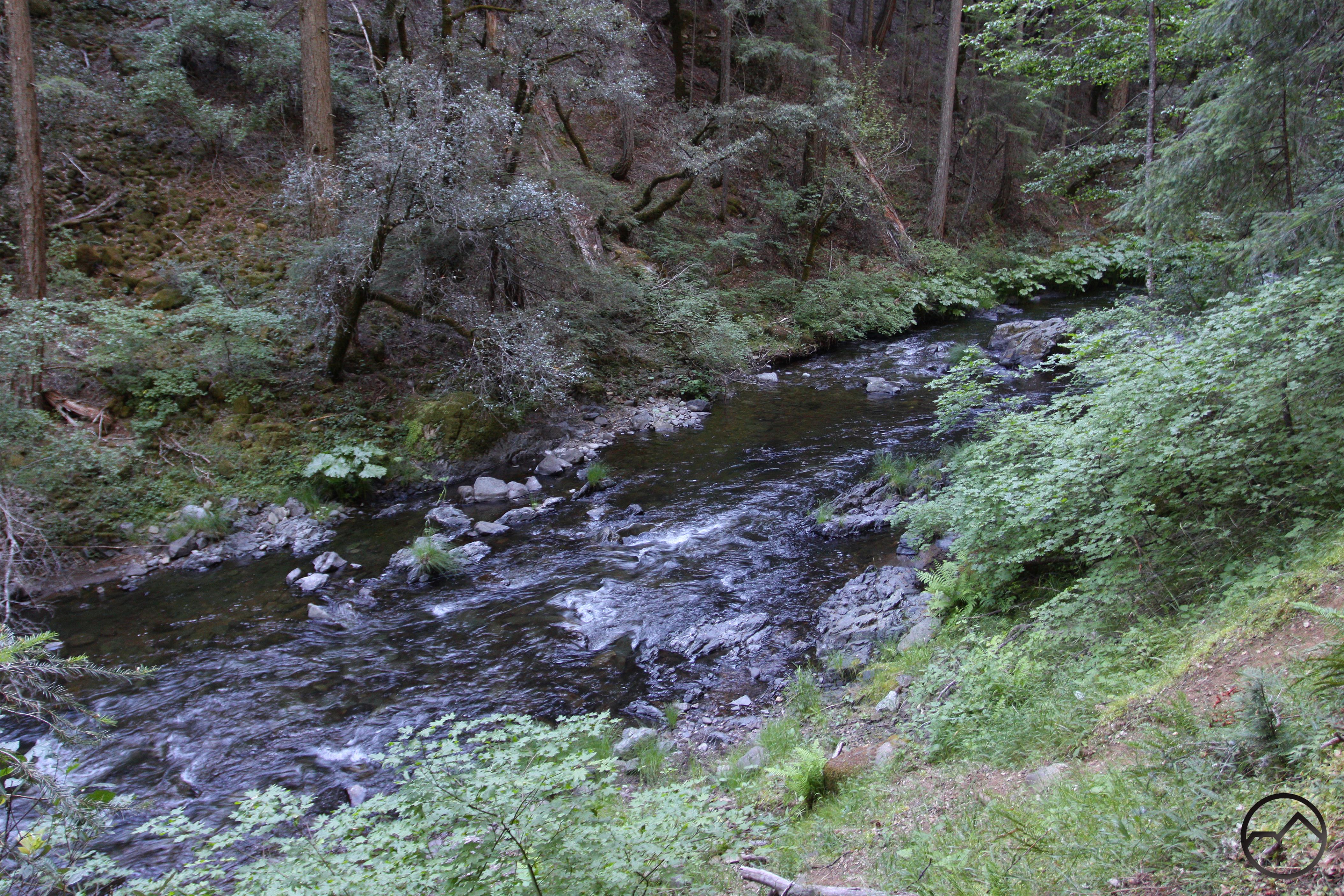
Lake McCloud is the functional point of division between the upper and lower sections of the McCloud River. This also marks the transition from the volcanic geology of the upper river to the marine sediment of the lower portion. Though geologic shift is generally unheralded, it does mean that the river has noticeably different characteristics downstream from Lake McCloud. This area is characterized by deep, rugged canyons, ancient forests and sporadic, rocky crags erupting through the trees. The rock in this area is much older the more recent volcanic rocks upstream. Hiking here means few crowds and lonely trails. The most popular trail is not on the McCloud but the Squaw Valley Creek Trail. This waterway begins at South Gate Meadow high on Mount Shasta and flows nearly 35 miles to its confluence with the McCloud River. Other trails in the area include the Pacific Crest Trail and the remote but gorgeous route through the McCloud River Preserve.
Squaw Valley Creek Trail
PCT from Ash Camp to Ah-Di-Na
McCloud River Preserve Trail
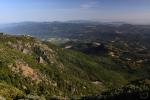
Mount Shasta Trails

Ash Creek Canyon on the Brewer Creek Trail
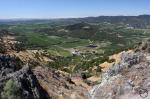
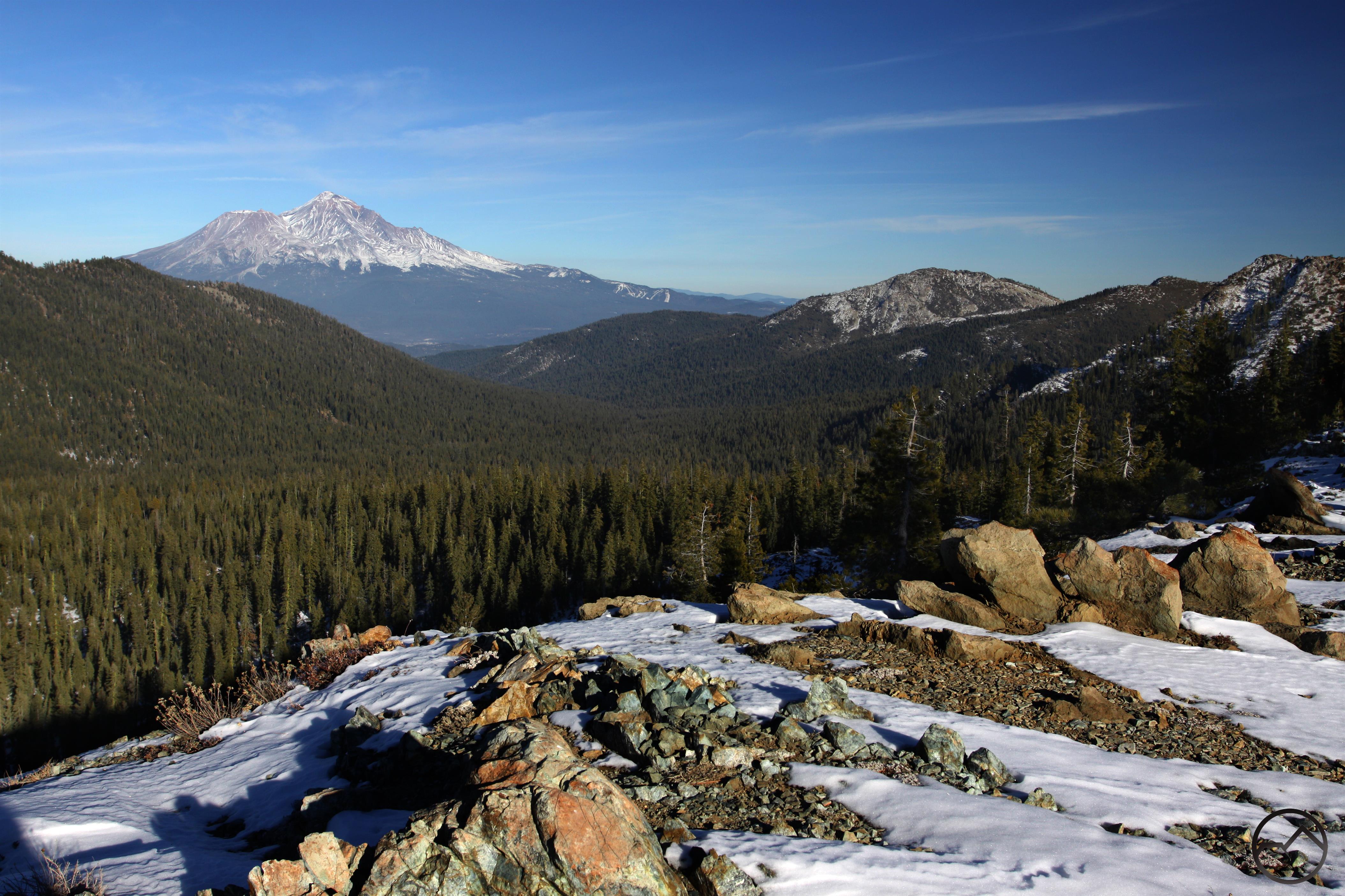
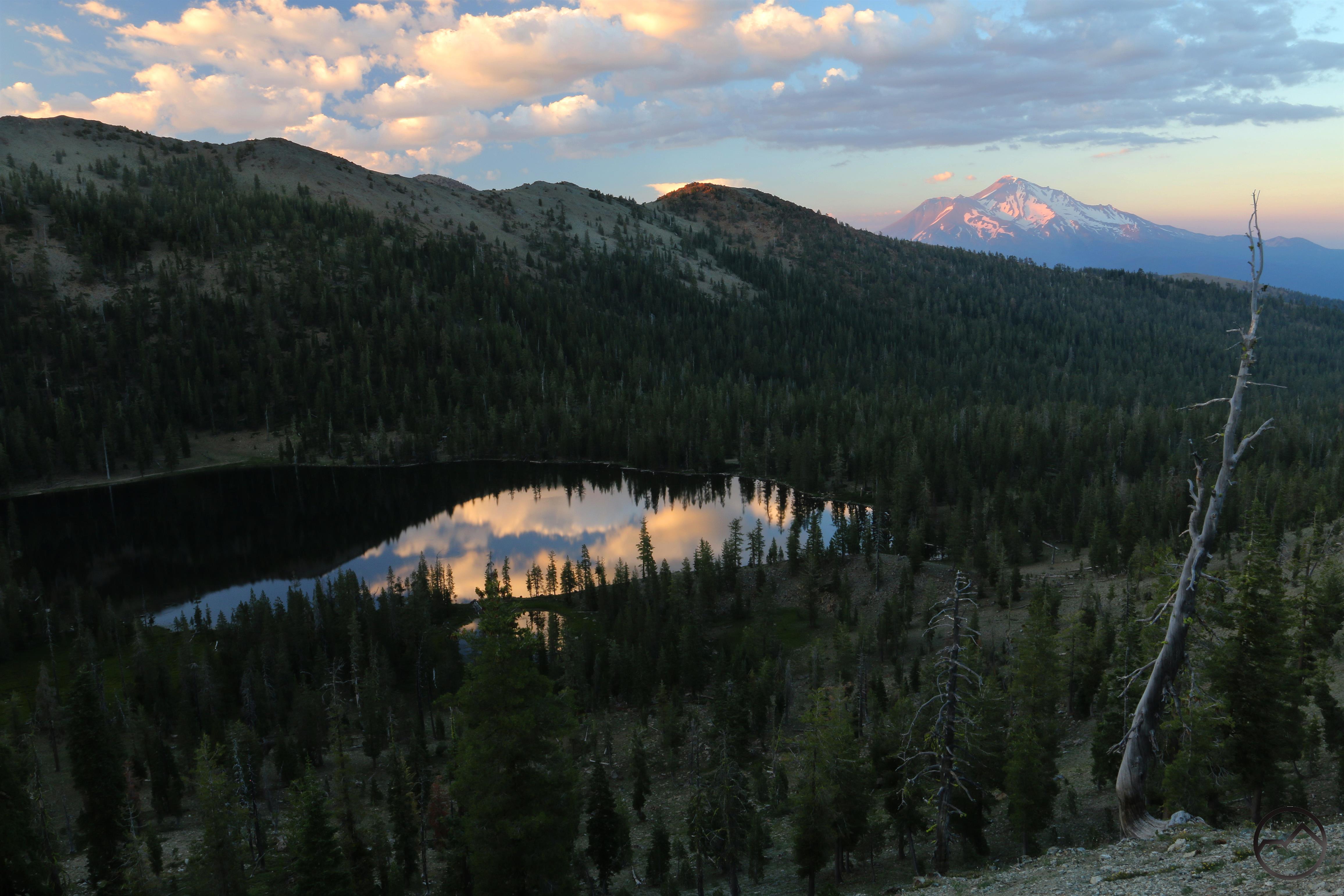
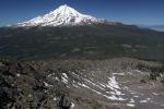
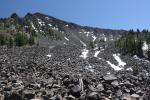
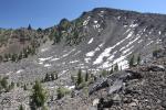
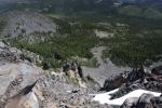
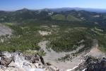
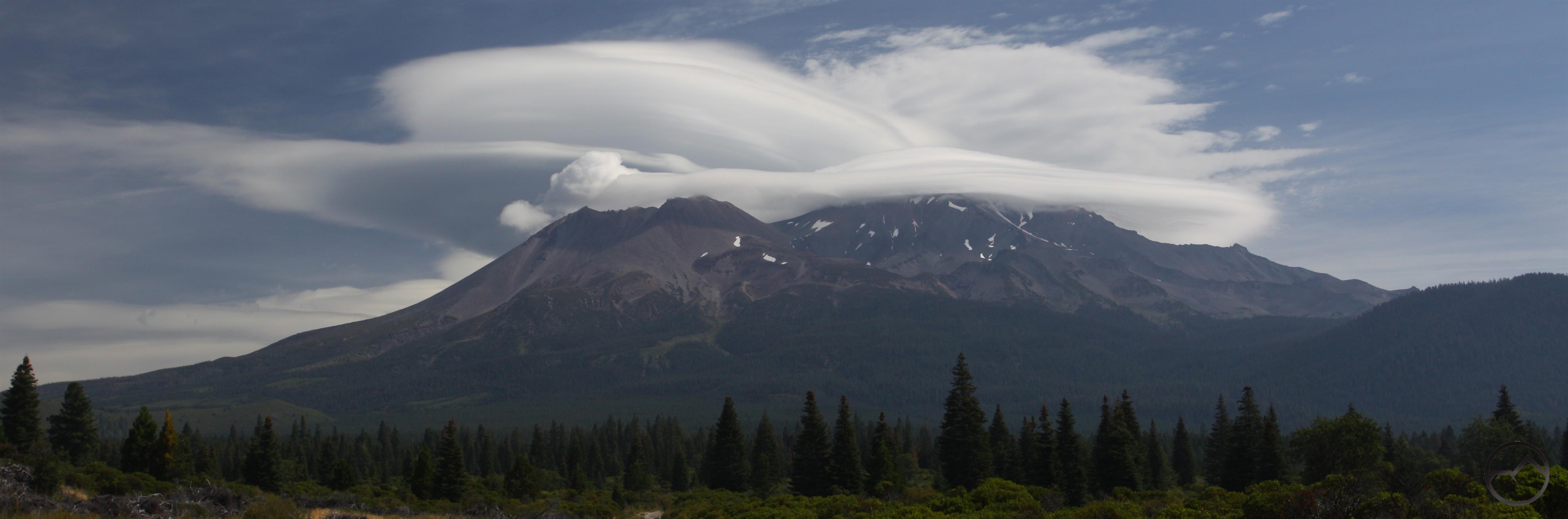
One does not usually associate McCloud with trails on Mount Shasta yet the fact remains that two of the best trails on the mountain must be accessed from McCloud. The Clear Creek and Brewer Creek Trails are splendid alpine hikes that boast numerous superlatives. They climb high above treeline, have incredible views of Mount Shasta and many of its attendant glaciers, views of magnificent waterfalls and views of much of Northern California lying to the south and to the east. Delicate meadows and clear-running streams are found along these paths, as are ancient forests of trees that are large and robust as well as stunted krummholz forests. Simply put, these are two of the best trails in Northern California and McCloud should lay claim to them, since it is necessary to pass through town to reach them.
Clear Creek Trail
Brewer Creek Trail
Trails East Of Mount Shasta

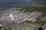
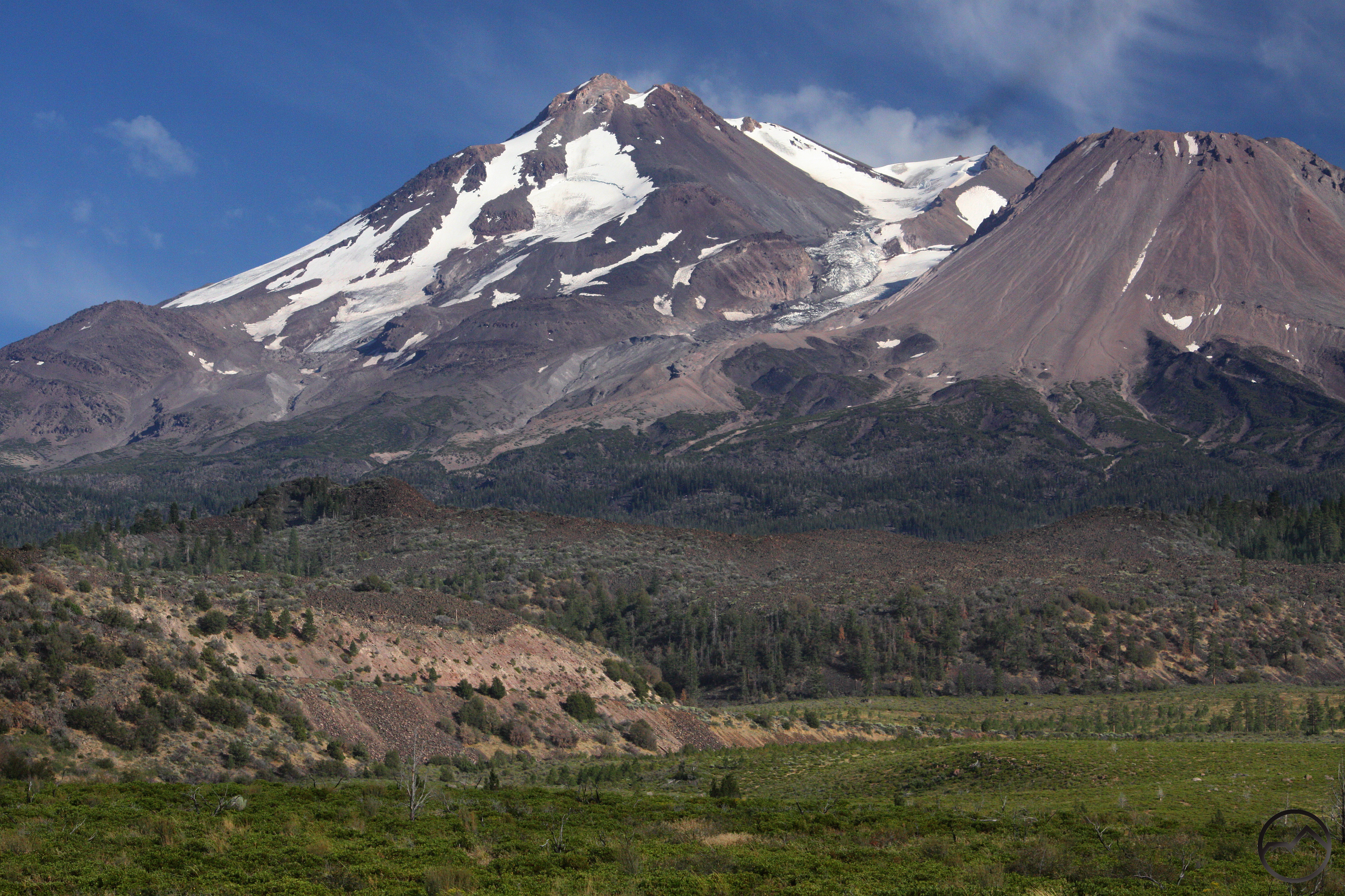
Mount Shasta towers above the Ash Creek Butte Rock Glacier.
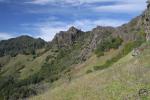
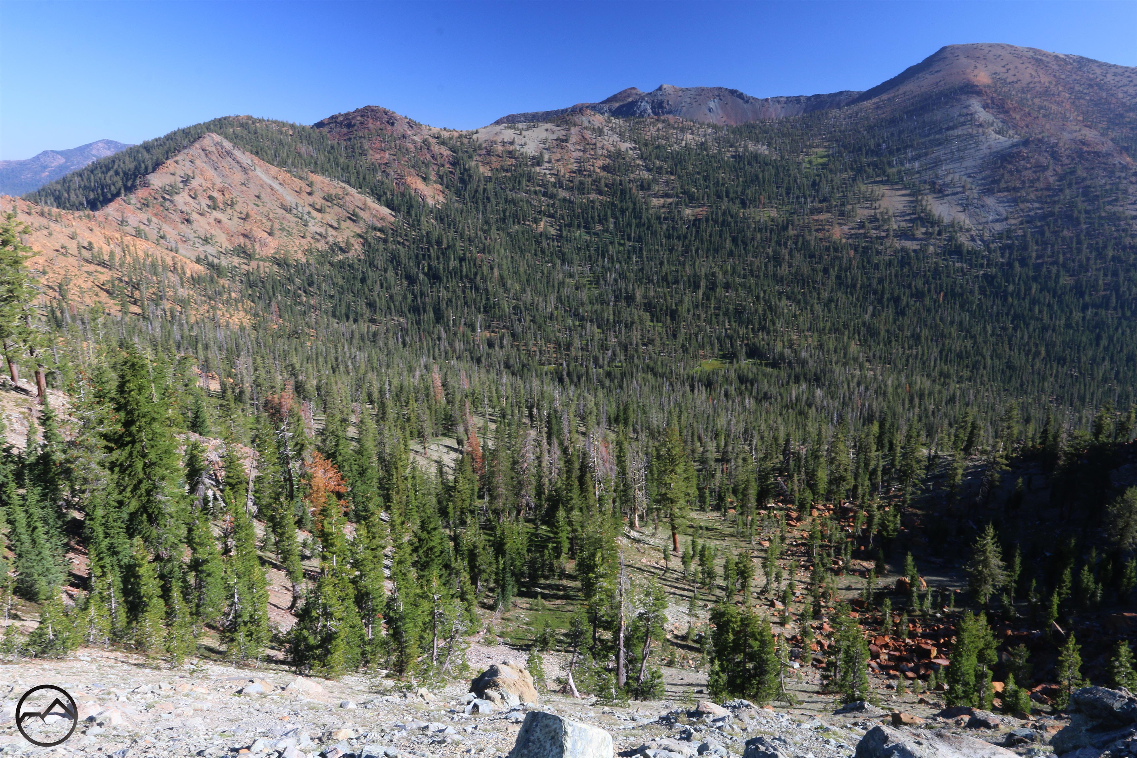
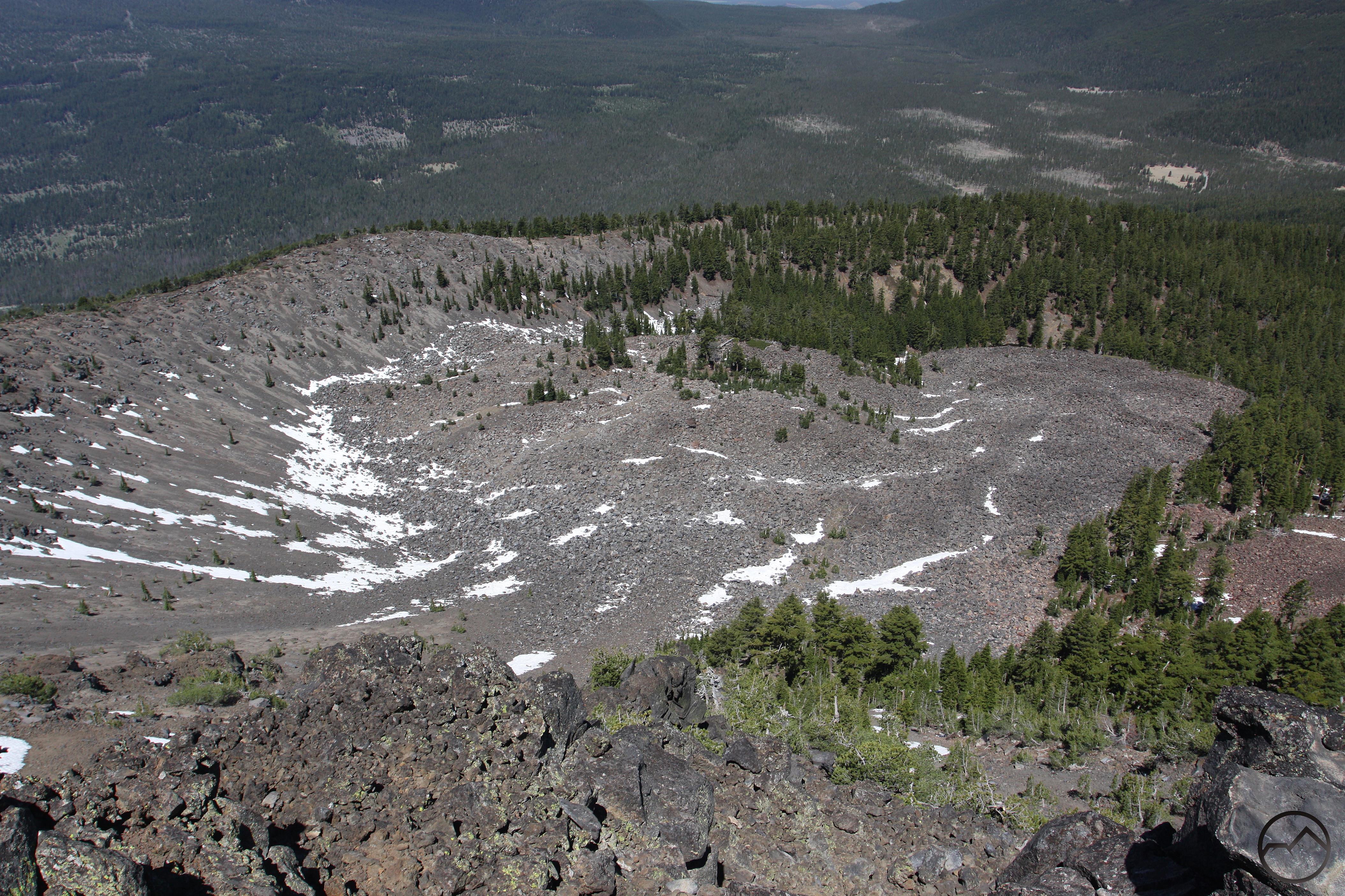
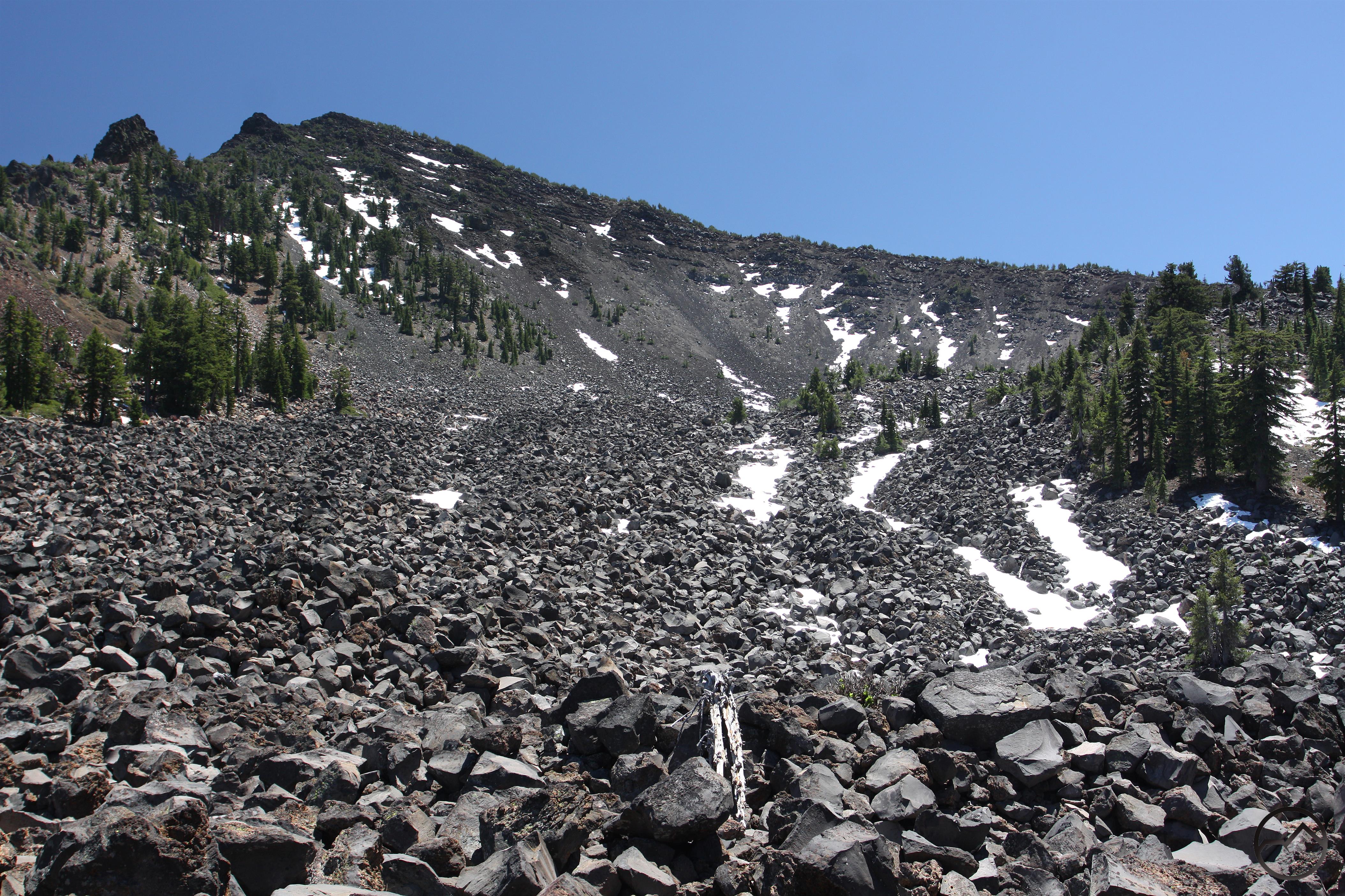
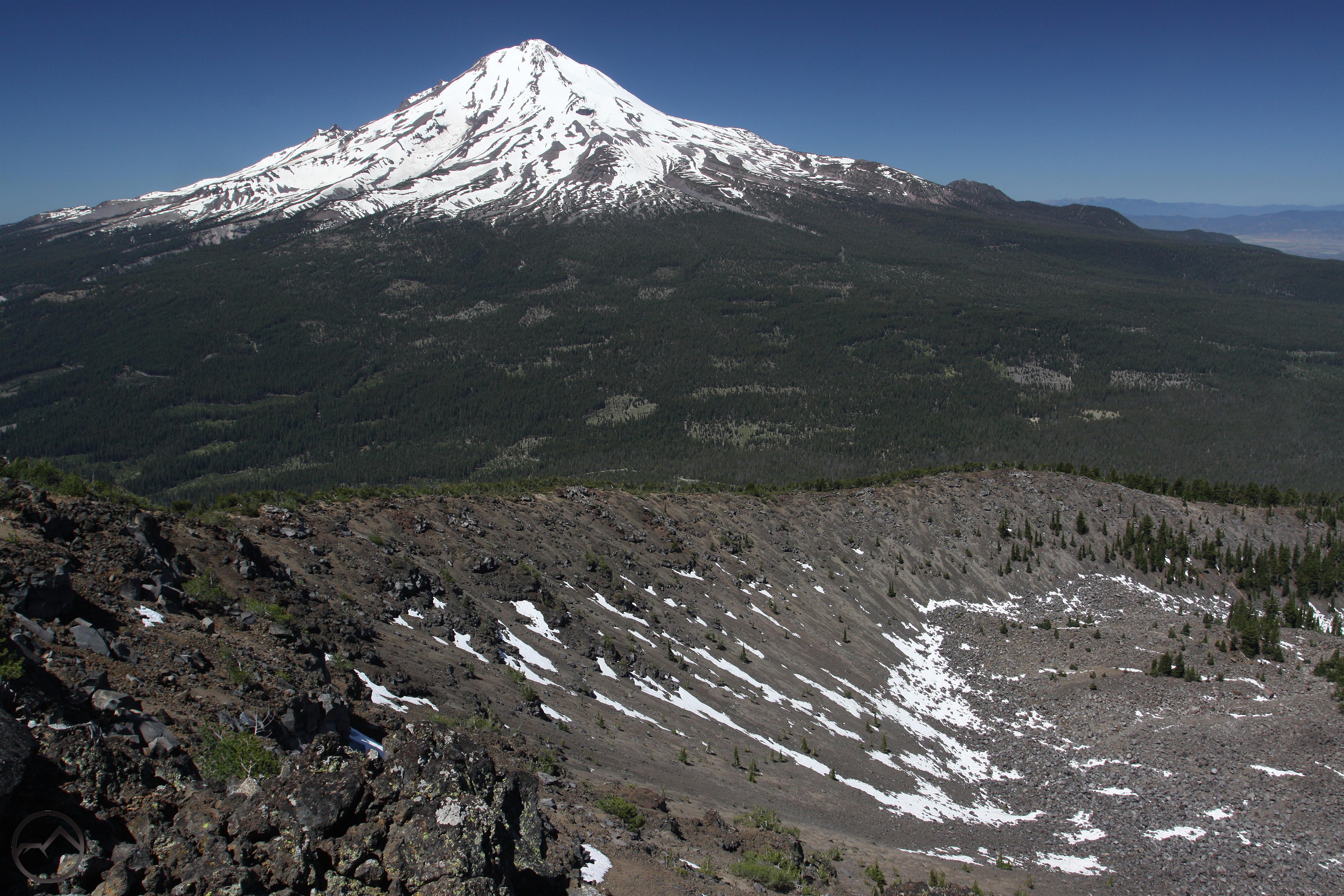
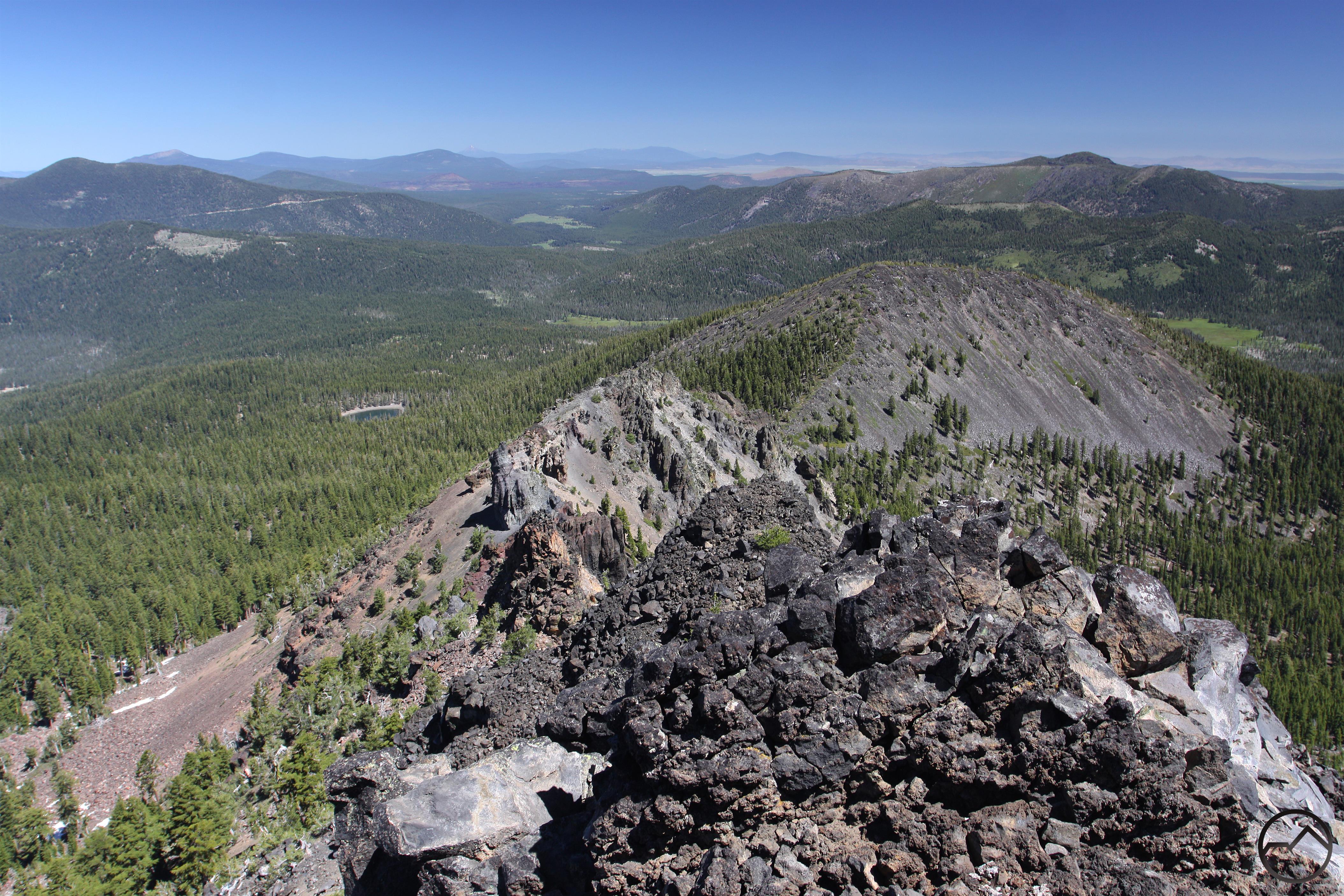
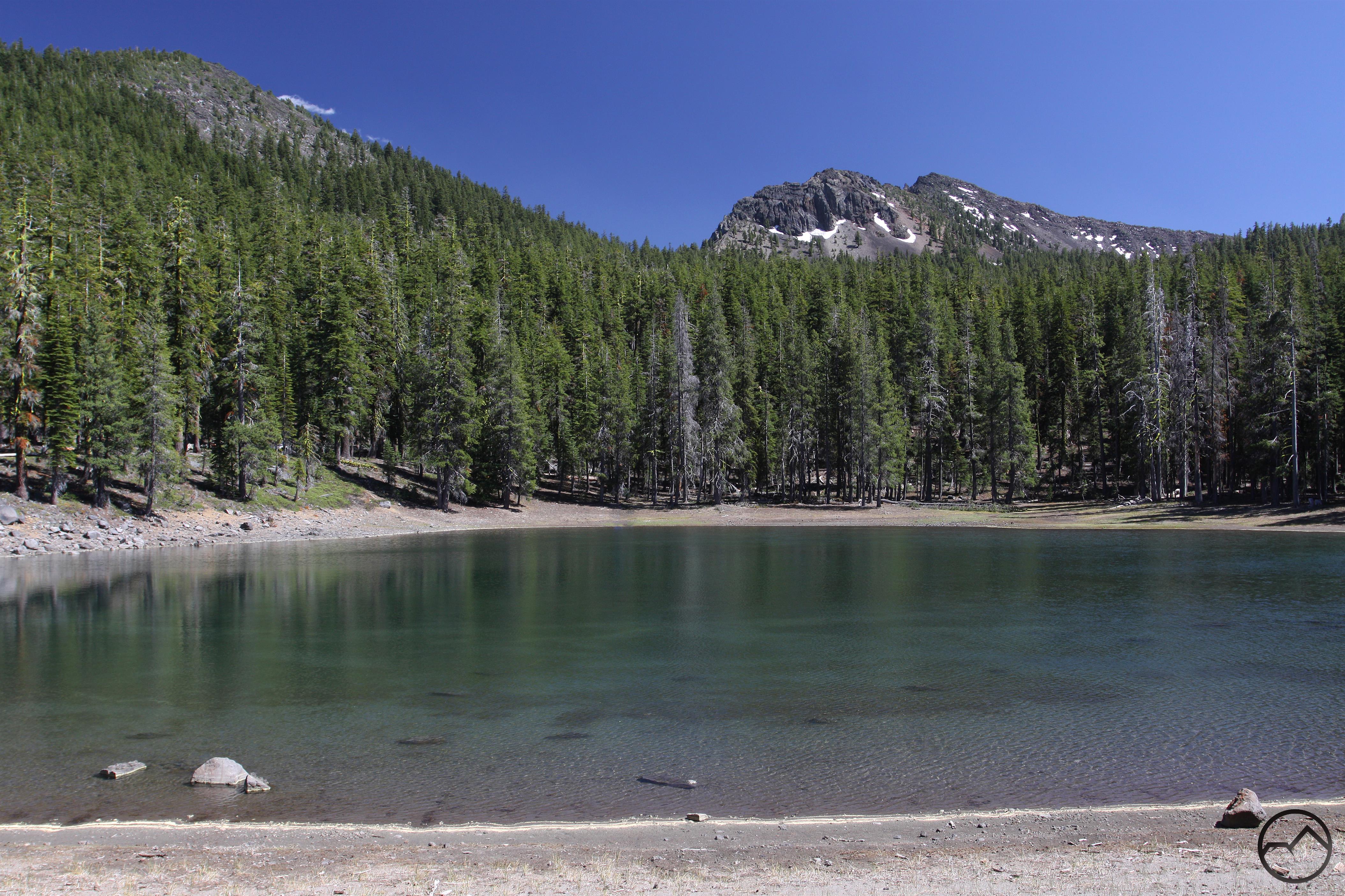
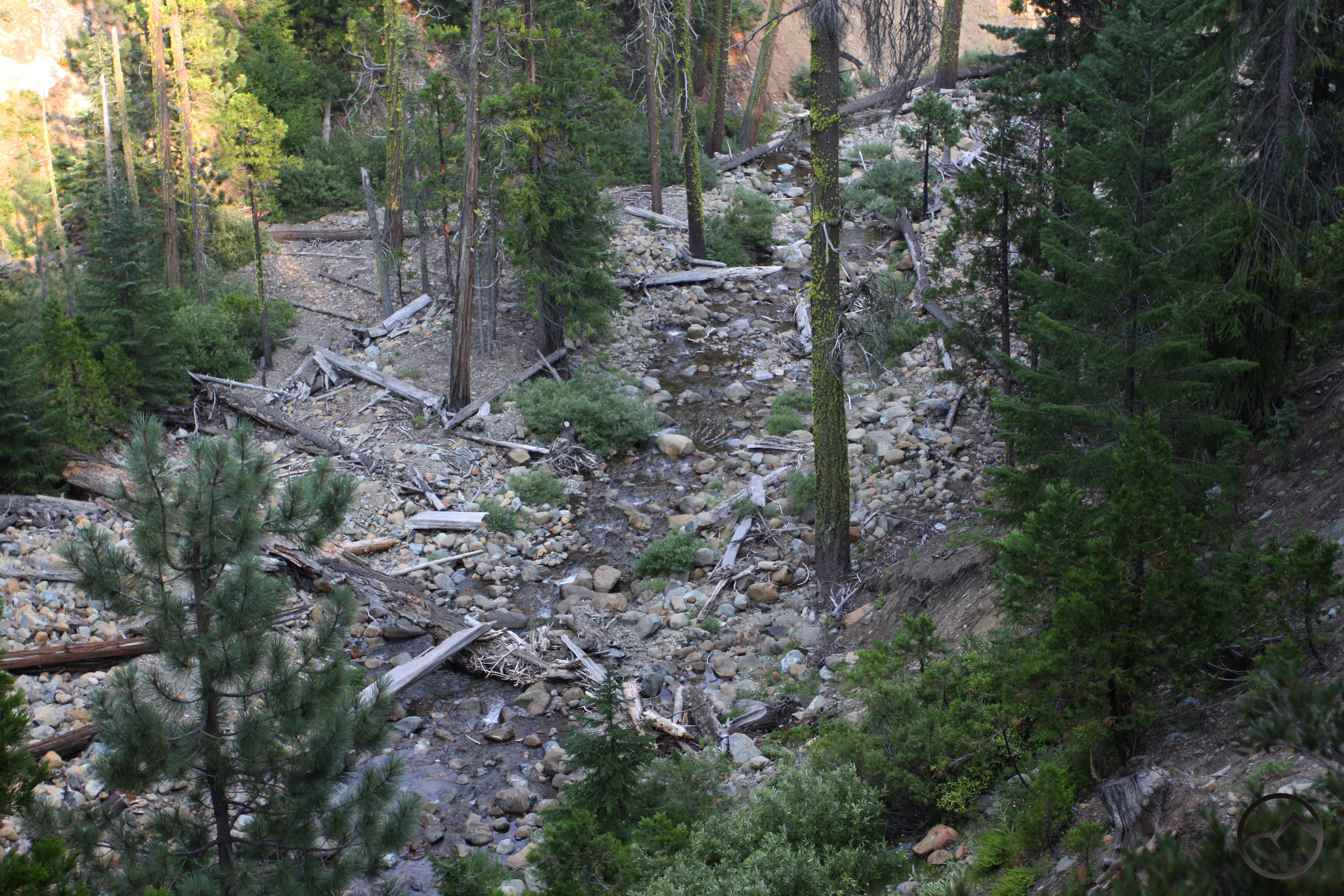
Granted, there is not much recreational infrastructure to the east of Mount Shasta. However, for the motivated hiker there is a lot to explore if one is prepared to hike without maintained trails. One such area that demands more attention is Ash Creek Butte, nearby the east-side trails on Mount Shasta. The road to this remote mountain is the same as that necessary to reach the Brewer Creek Trail. Where the latter turns west and climbs up Mount Shasta, the former heads east and climbs the flanks of unappreciated Ash Creek Butte. Here the intrepid will find some of the most fascinating and beautiful geology in the region. Small lakes, beautiful forests, sheer cliffs and incredible views wait. Other treasures are hidden the in the mountain fastness to the east. Of course, hikers should not forget the largely undeveloped potential of the Medicine Lake area as well.
Ash Creek Butte Scramble
Get Out And Explore!

A remote waterfall in Mud Creek Canyon.
There are many more surprises waiting to be discovered in the mountains and forests around McCloud. Studying maps and satellite imagery will give the keen of eye several destinations to explore. Whether it is massive Mud Creek Canyon on Mount Shasta or some of the remote creek drainages along the McCloud River, there are many beautiful and wonderful sights that await the explorer’s gaze. Even well-travelled but unappreciated places like the crossing of Mud Creek on Pilgrim Creek Road offer beautiful, pleasant exploration for those who have an eye for such things. Areas like this, mere minutes from the downtown area, demand development by the Forest Service. It is not outside the realm of possibility for McCloud to have a compliment of trails close to town similar to those around Mount Shasta City. However, with or without these, McCloud remains a highly underrated hiking destination.

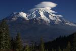
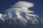
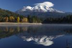
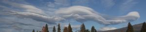
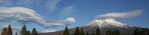
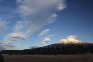
 The autumn of 2015 has generally been lovely and pleasant in Mount Shasta. A few mild storm systems punctuated typically sunny weather. Though it got colder as the year plunged deeper into fall, working and playing outside remained desirable activities. However, after the long drought, there has been a growing anticipation of the coming winter and the hope of snow has been on everyone’s lips. The week prior to November 14th maintained forecasted the coming of snowy weather. Though the amount of snow was eventually downgraded in the forecast, the storm remained eminent.