

An evening break in the storm reveals a snowy Mount Shasta.
It has been precipitating off and on for nearly a week now. This prompted me to get out and check up on the state of the rivers, the snow on Mount Shasta and other results from the storms. Though the water level in the rivers has definitely increased, I was surprised by the lack of a significant torrent. With daily precipitation in the forecast, which includes a lot of snow higher up, I imagine the volume of the river will increase once the ground gets really saturated and more water is forced to run off during heavy rains. For now though, I am glad to see the rivers fuller and the mountains whiter. After a long dry spell that spelled the doom of Paradise and severely damaged other communities, it is reassuring to see the wet, fire-preventing precipitation arrive in a sustained way.
Below is a gallery of images showing the conditions at the Sacramento River, the Shasta River and from afar on Mount Shasta. Things are definitely moving int he right direction. Now we just want more snow!
Click to enlarge:
-
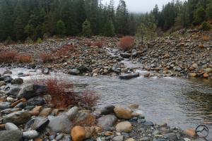
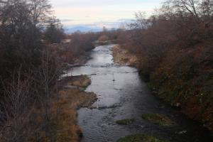
- At the confluence between the main fork of the Sacramento and the North Fork.
-
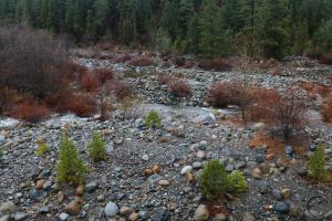
- The main fork of the Sacramento River.
-
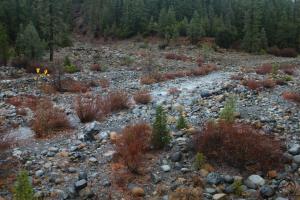
- While here, I took my kids down to the river and they played on the rocks for a while. This is a spot we go to frequently. It has good access, tons of rocks and a swimming hole.
-
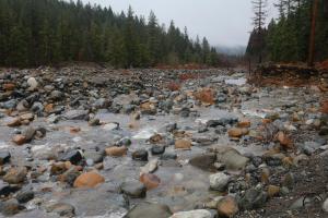
- This is on the main fork of the Sacramento and features one of the best views of Mount Shasta. Not today however.
-
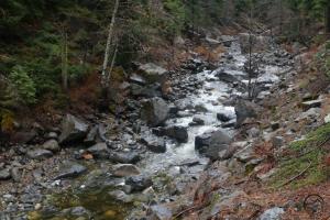
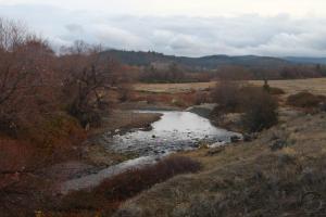
- This view is just below the confluence of the South and Middle Forks.
-
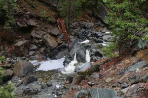
- The confluence of the Middle Fork and the South Fork.
-
- The confluence of the Middle Fork and the South Fork.
-
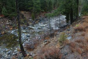
- In the canyon of the South Fork of the Sacramento River.
-
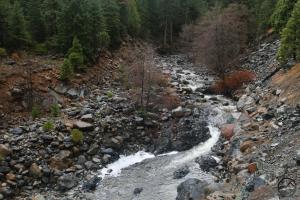
- With rising water levels, the river pours through a short cascade.
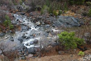
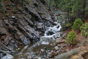
-
- This is one of the more impressive cascades along the South Fork.
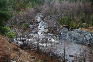
-
- The canyon is very rocky in some spots and the rising water level in the river adds a lot of drama.
-
- When viewed from the west, Mount Shasta was still covered by the storm. However, it looked like it was breaking on the north side.
-
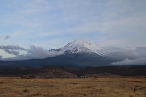
- Heading to the north, I could see the storm had come to a halt at the edge of the Shasta Valley.
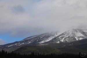
-
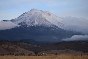
- Mount Shasta rose higher than the storm did, showing off its new blanket of snow.
-
- The Shasta River has a strong flow.
-
- In the distance, the storm can be seen stopping at the edge of the Shasta Valley.
Overall, things are looking pretty good. Now is a great time to take a hike along one of the trails that follows a creek or river.

Thanks for sharing.
Pingback: The Ghost Trees Of Black Butte | Hike Mt. Shasta