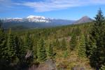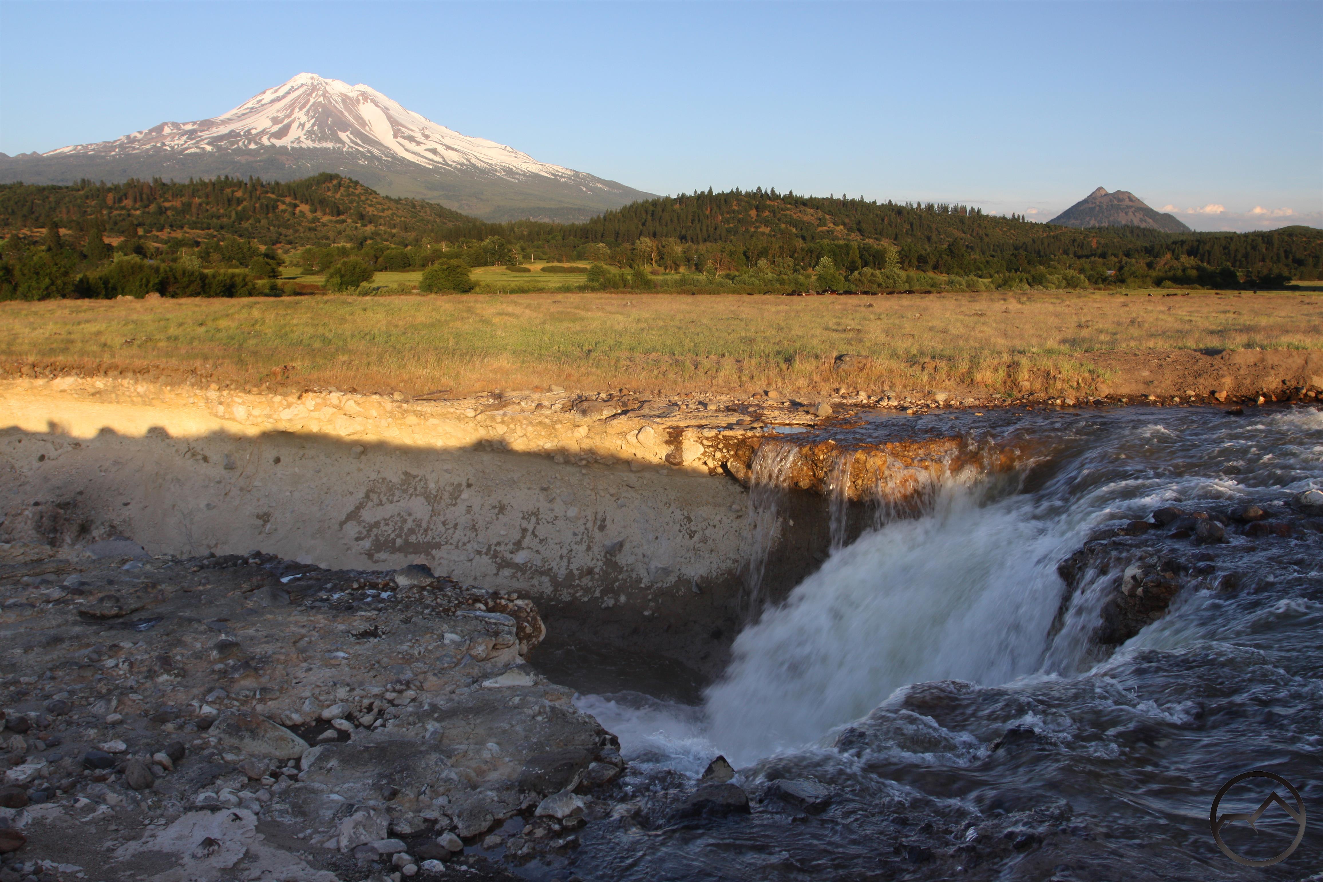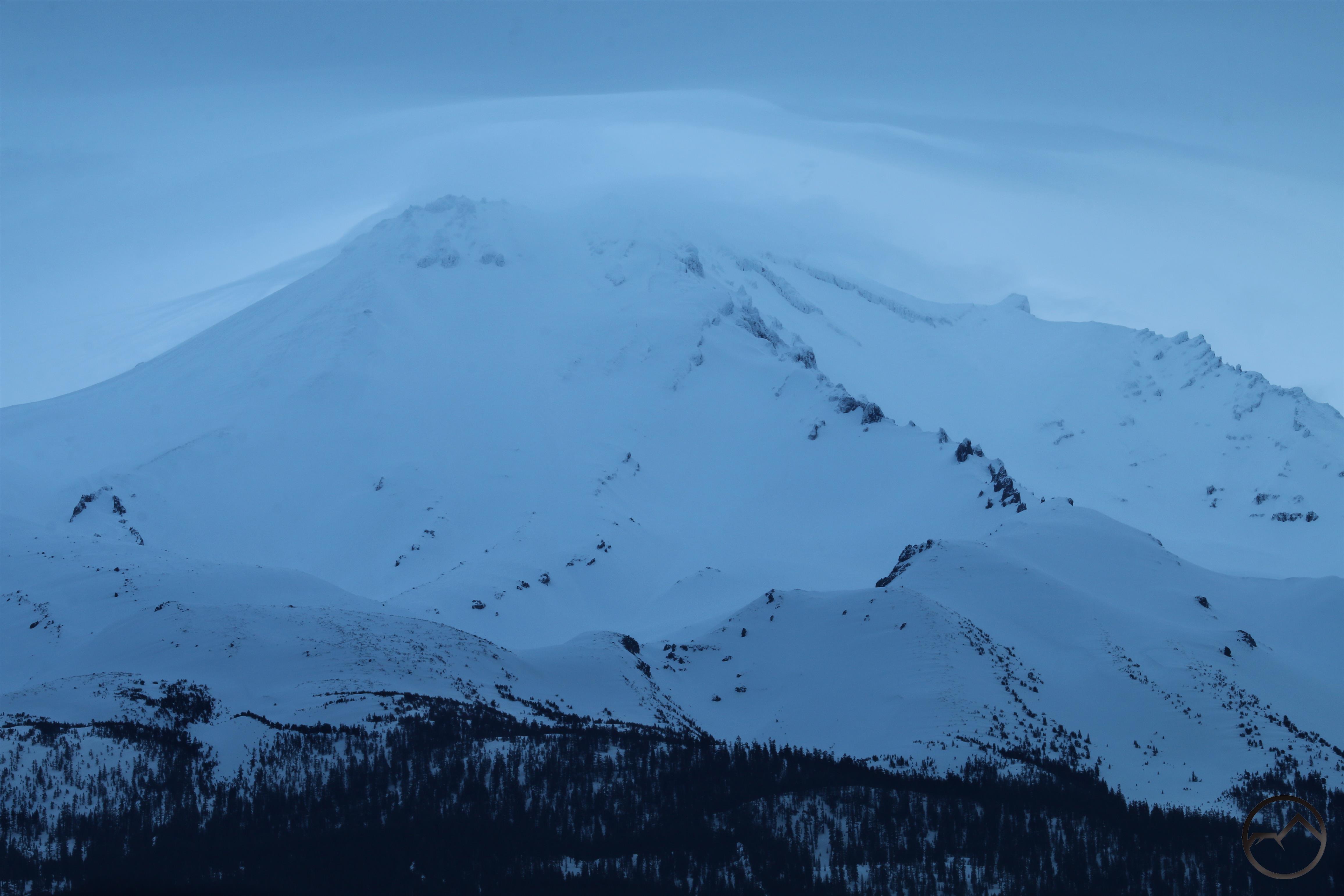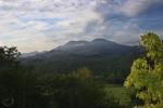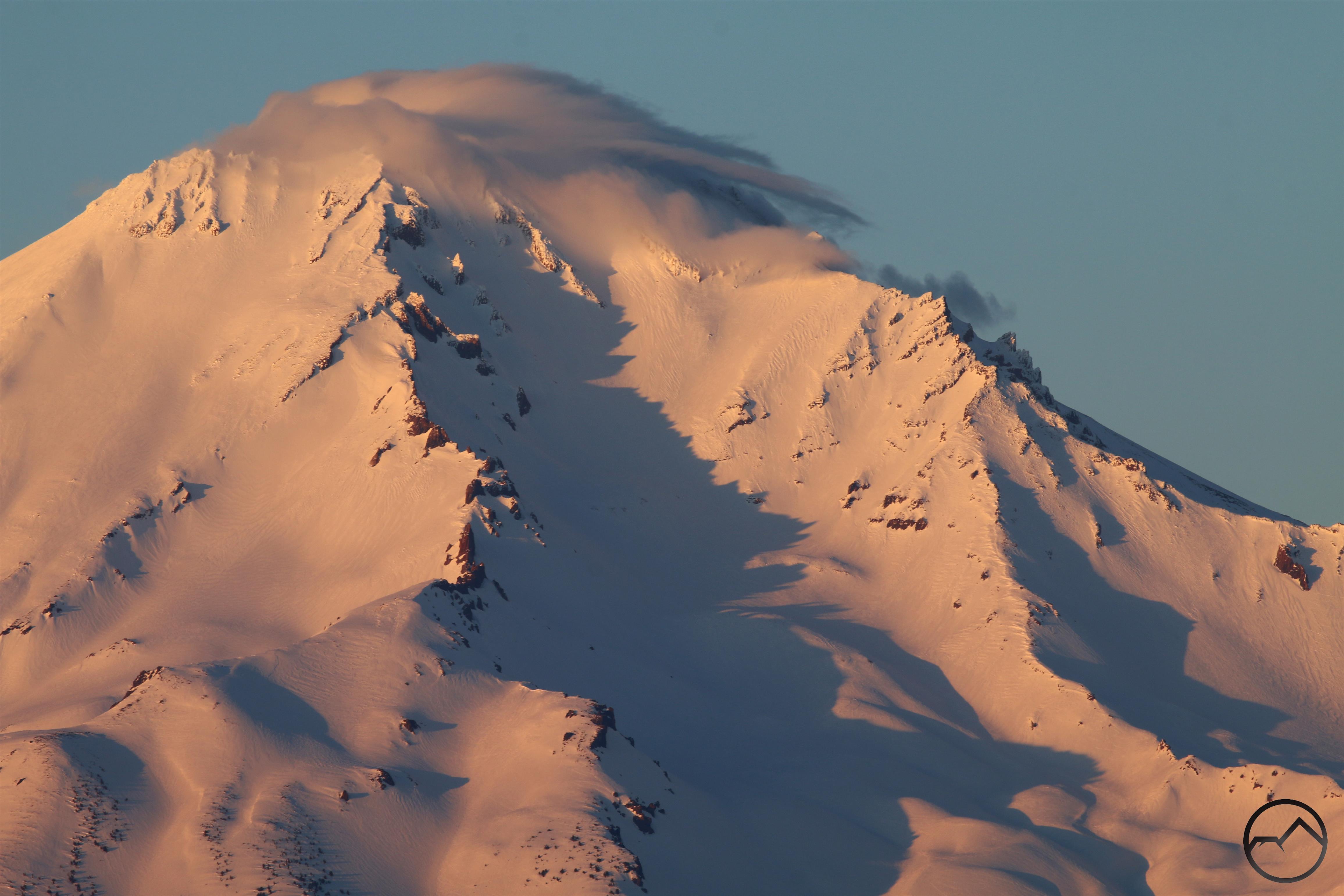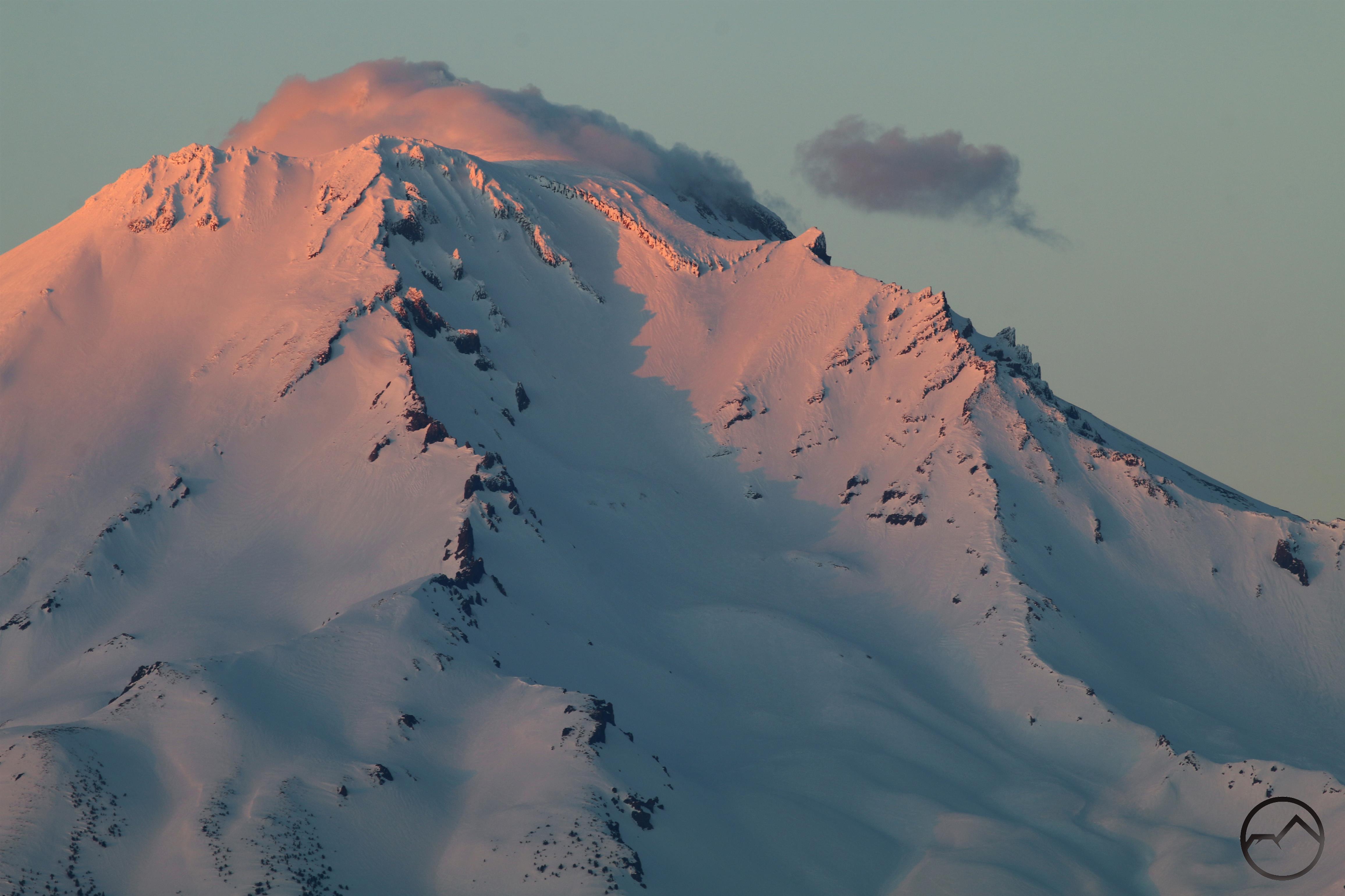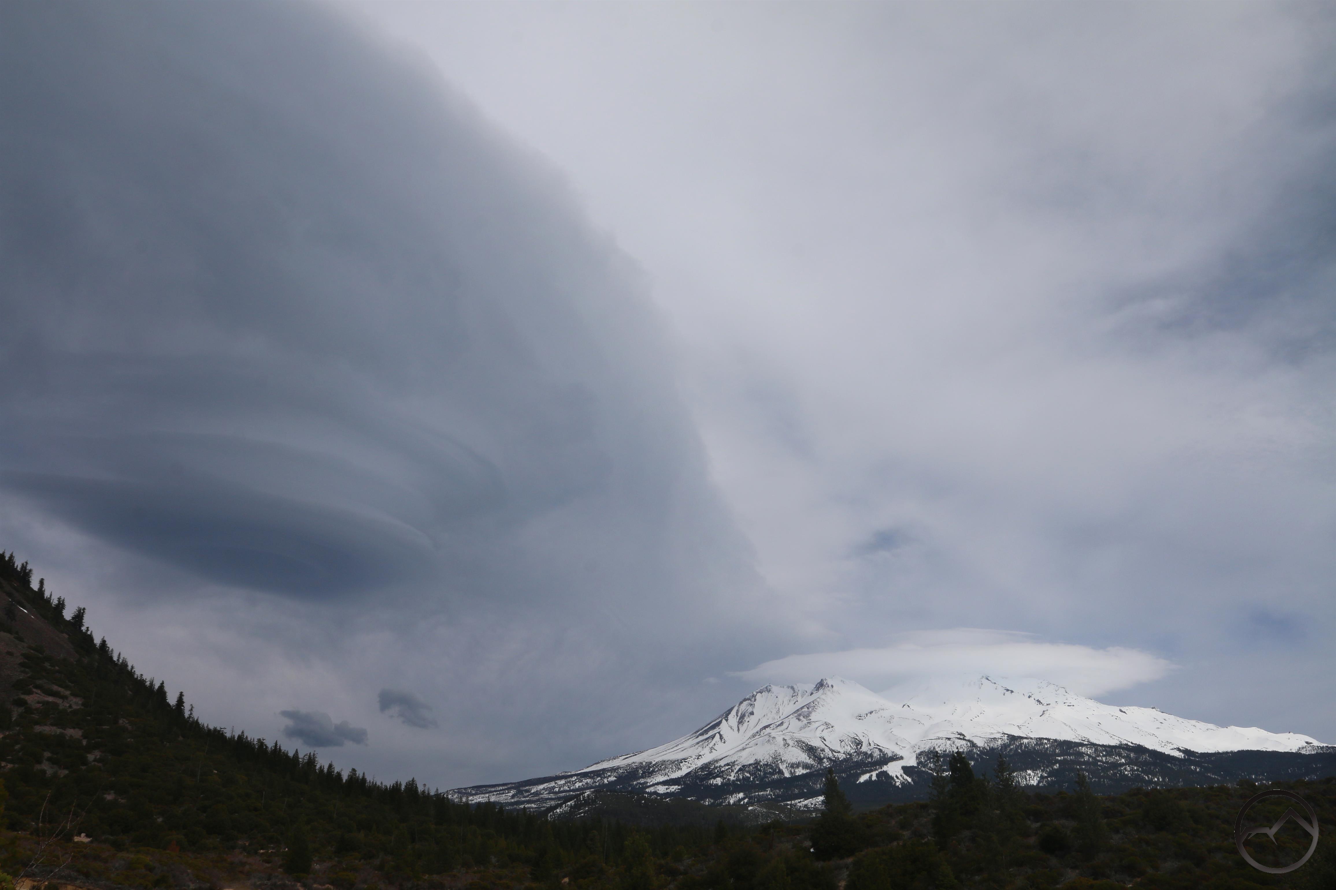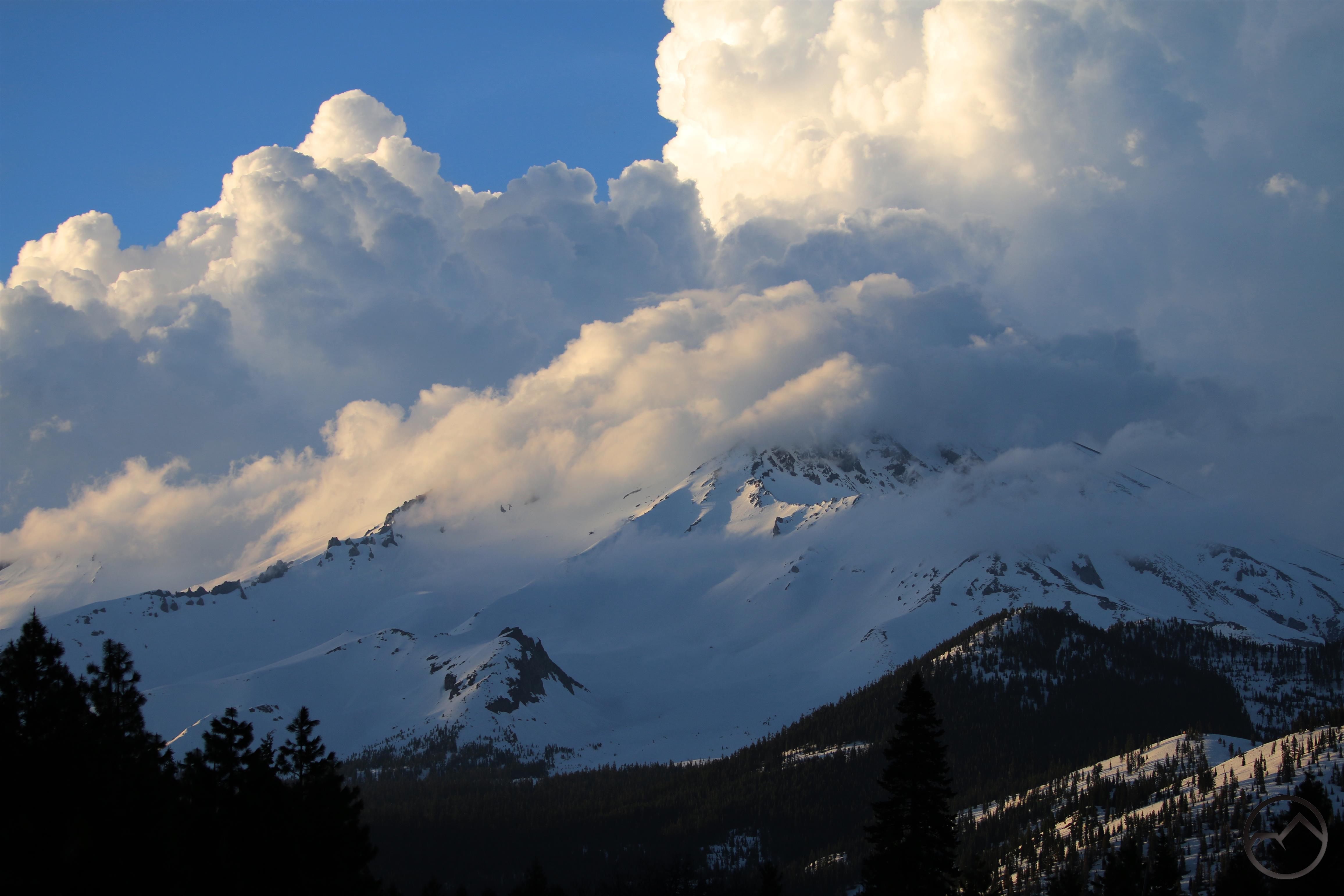
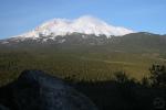
Spring thunderheads gather around Mount Shasta at sunset.
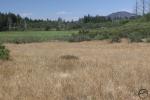
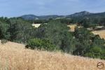
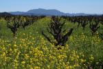
This past winter seemed particularly long. Though December and January were spectacular, February and March seemed like one long storm. Fortunately, that means that we got ample precipitation and the drought will not be a factor for the coming year at least. Hopefully that means the fire will season will be less of an issue. Now it seems like the weather has decided to skip spring and move right into summer. The weather is perfect for hiking. However, the strong winter means we will have to wait a while longer before the high country trails are clear of snow. Thankfully the Mount Shasta area is blessed with an abundance of trails at lower elevations, which means that hiking and enjoying the fantastic scenery that surrounds us is in full swing. The best spots to explore this time of year are along the McCloud River and in the Castle Crags. Despite the lower elevation, they still offer great mountain experiences. The Gateway Trail is also a good option for spring hiking, with good views of the mountain and a sense of solitude in the near-town but remote backcountry of the trail. The high desert of the Shasta Valley is another great place to explore right now. Of course, all the other areas usually considered good winter destinations are also fantastic places to hike right now. Summer may be coming but the time to get out and hit the trail is now!
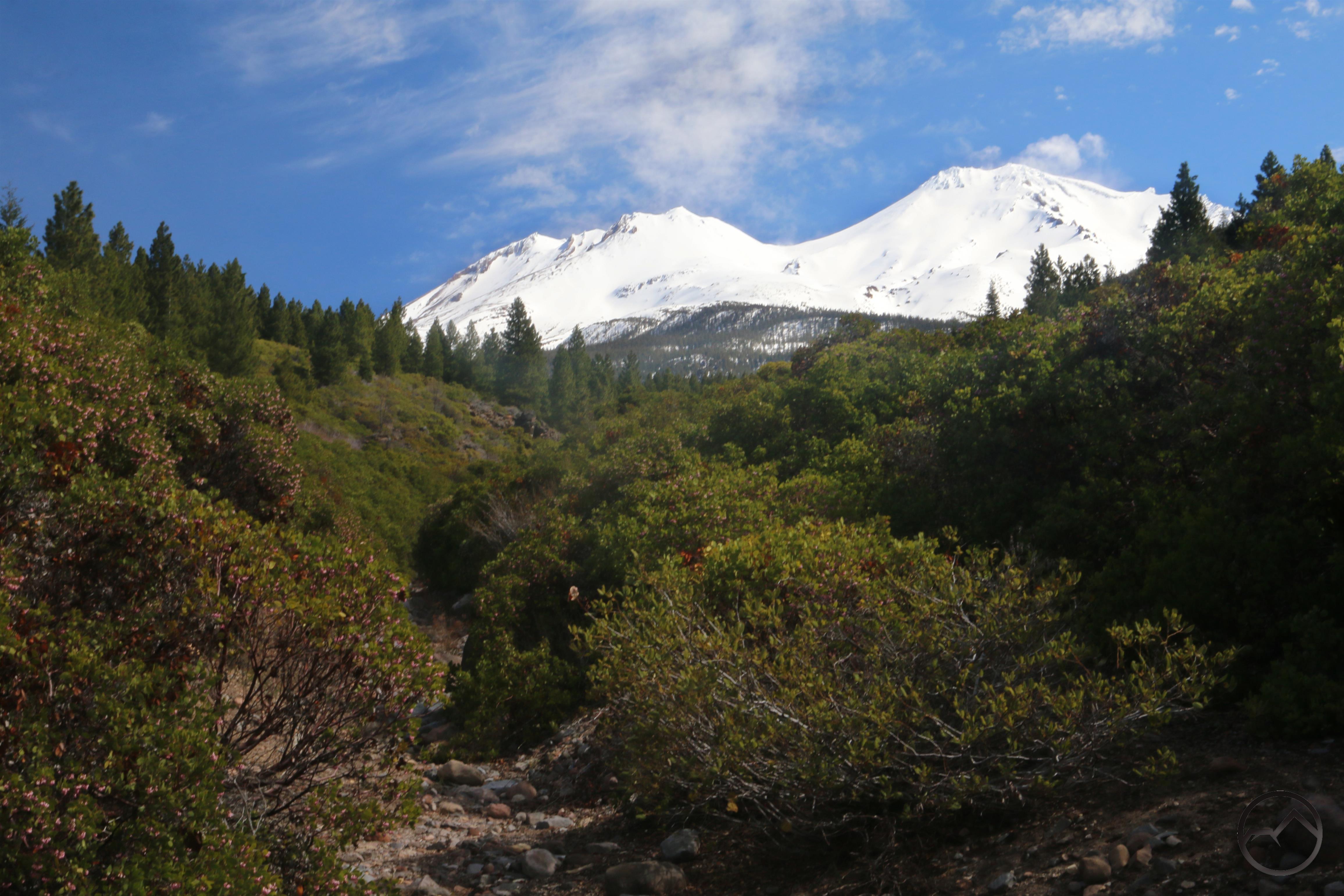
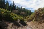
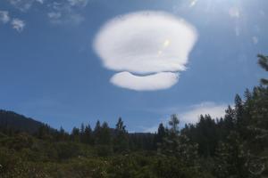
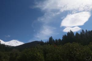
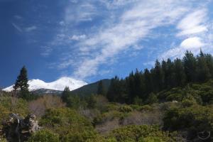
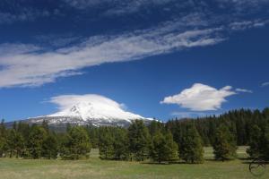
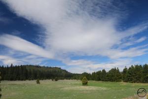
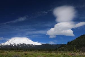
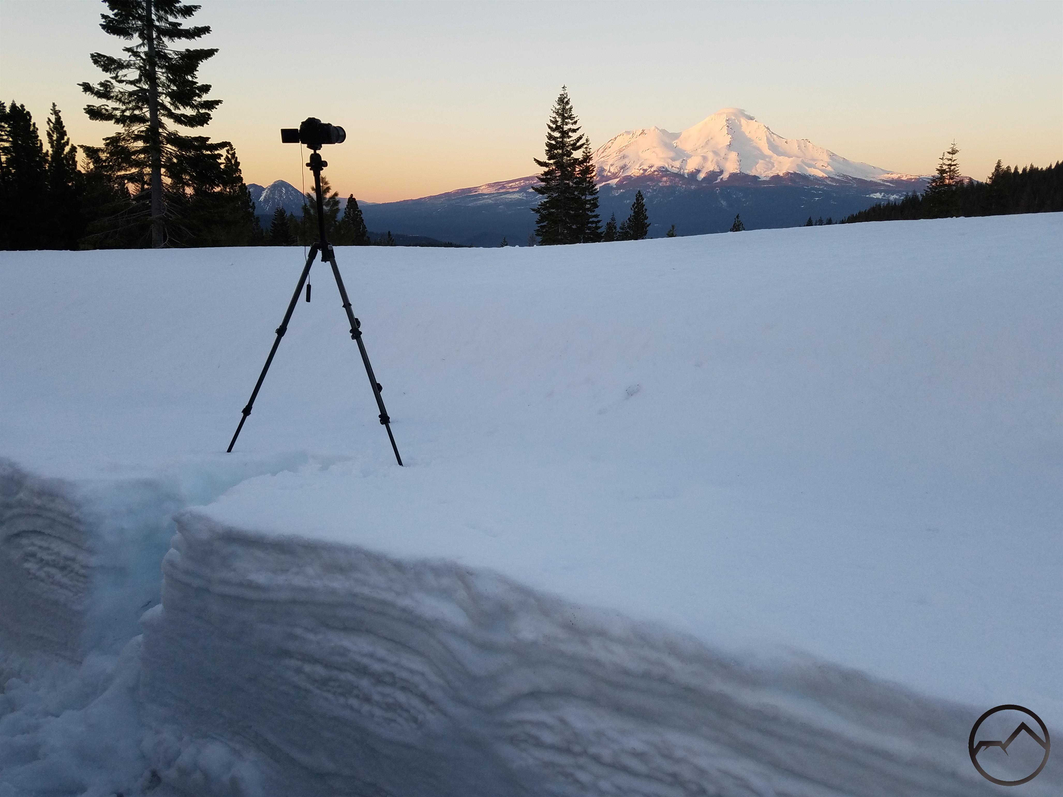
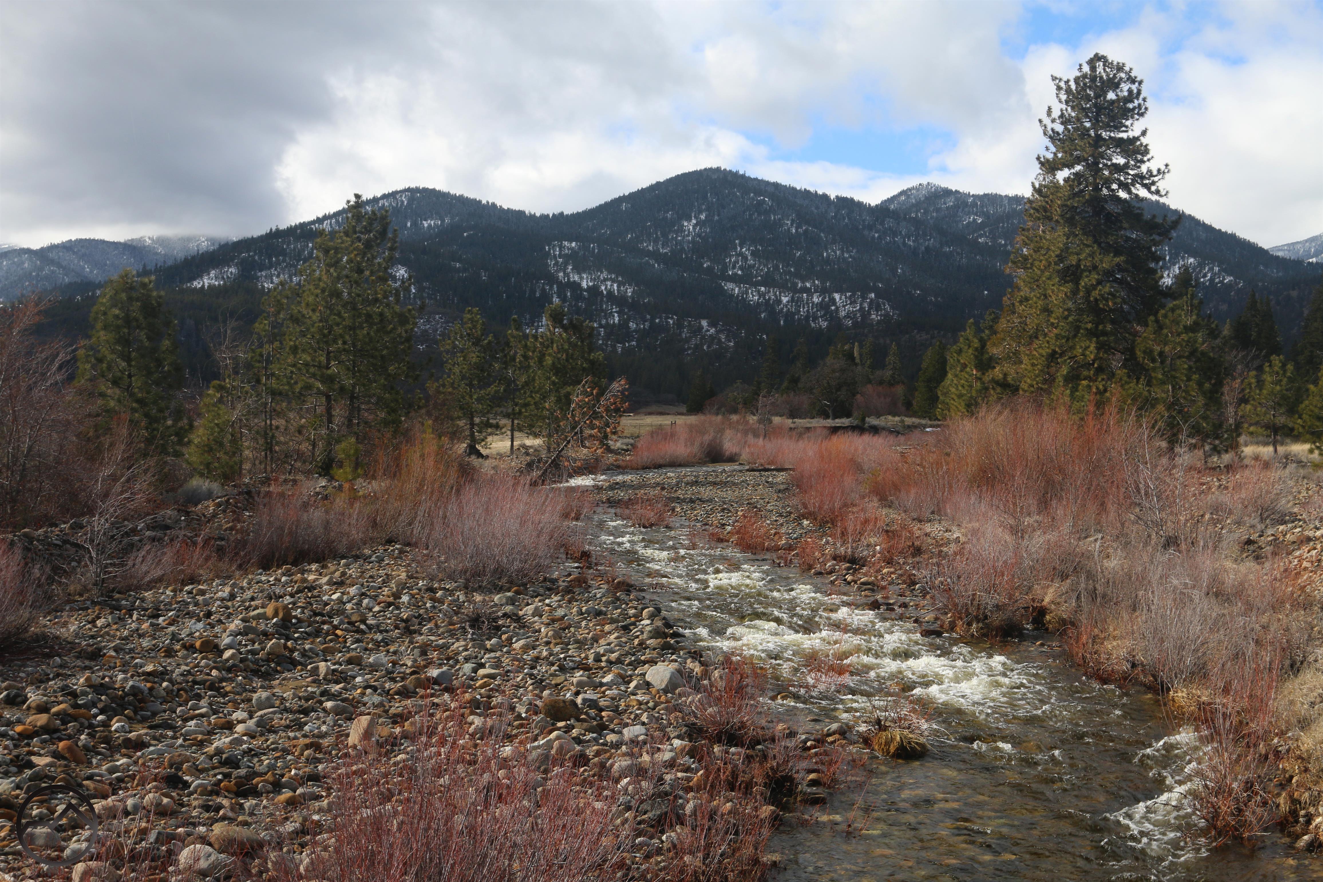
Spring Hiking On The Gateway Trail
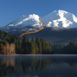
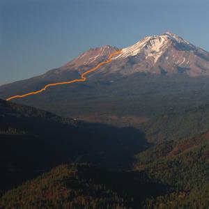
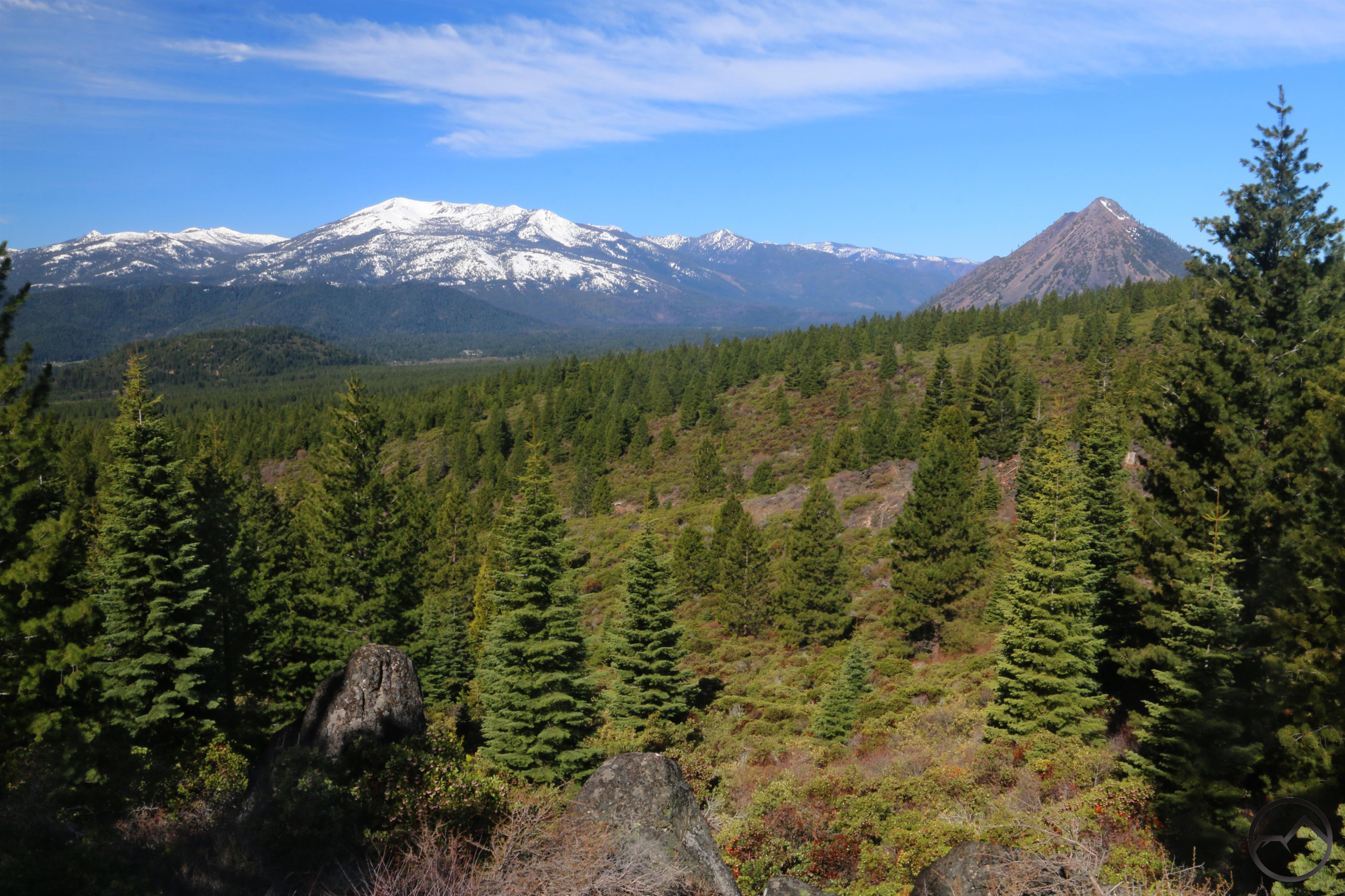
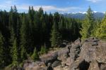
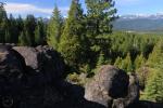
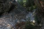
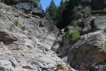
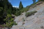
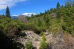
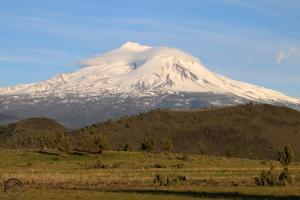
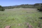
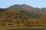
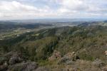
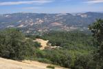
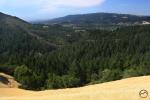
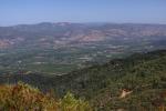
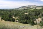
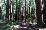
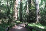
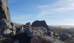
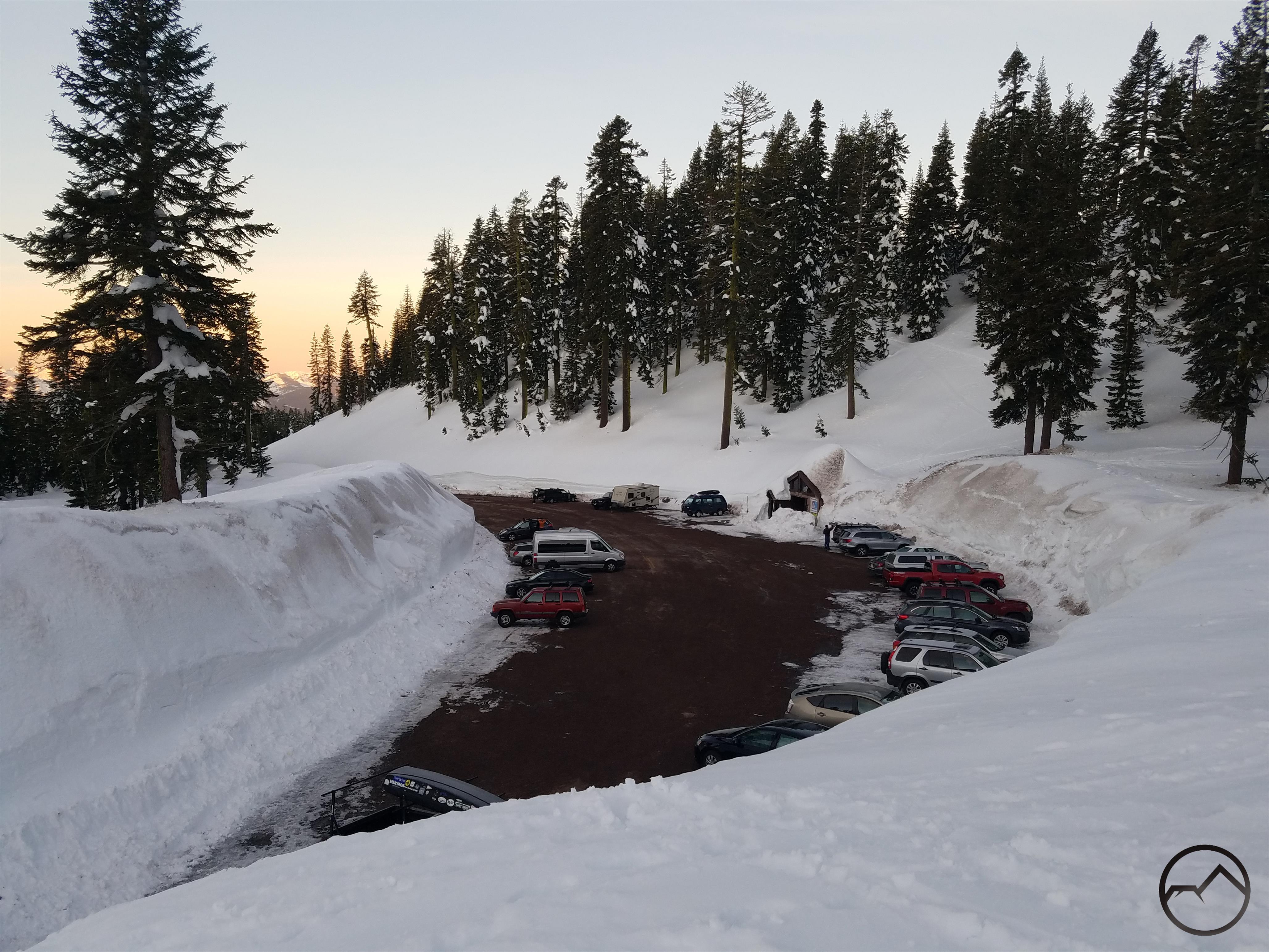
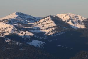
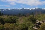
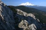
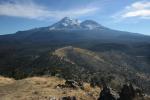
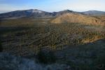
Located just outside of Mount Shasta City, the Gateway Trail is an impressive and soon-to-be-expanding network of trails that wind their way through the wooded flanks of Mount Shasta. The first couple miles of the trail, however, are largely in the open, passing through rocky terrain that features great perspectives on the white mountain looming over 10,000 feet overhead. Once the trail plunges into the deep forest, numerous loop options exist, along with a few rocky outcroppings and some good vistas of Trinity Divide. Read more here.
-
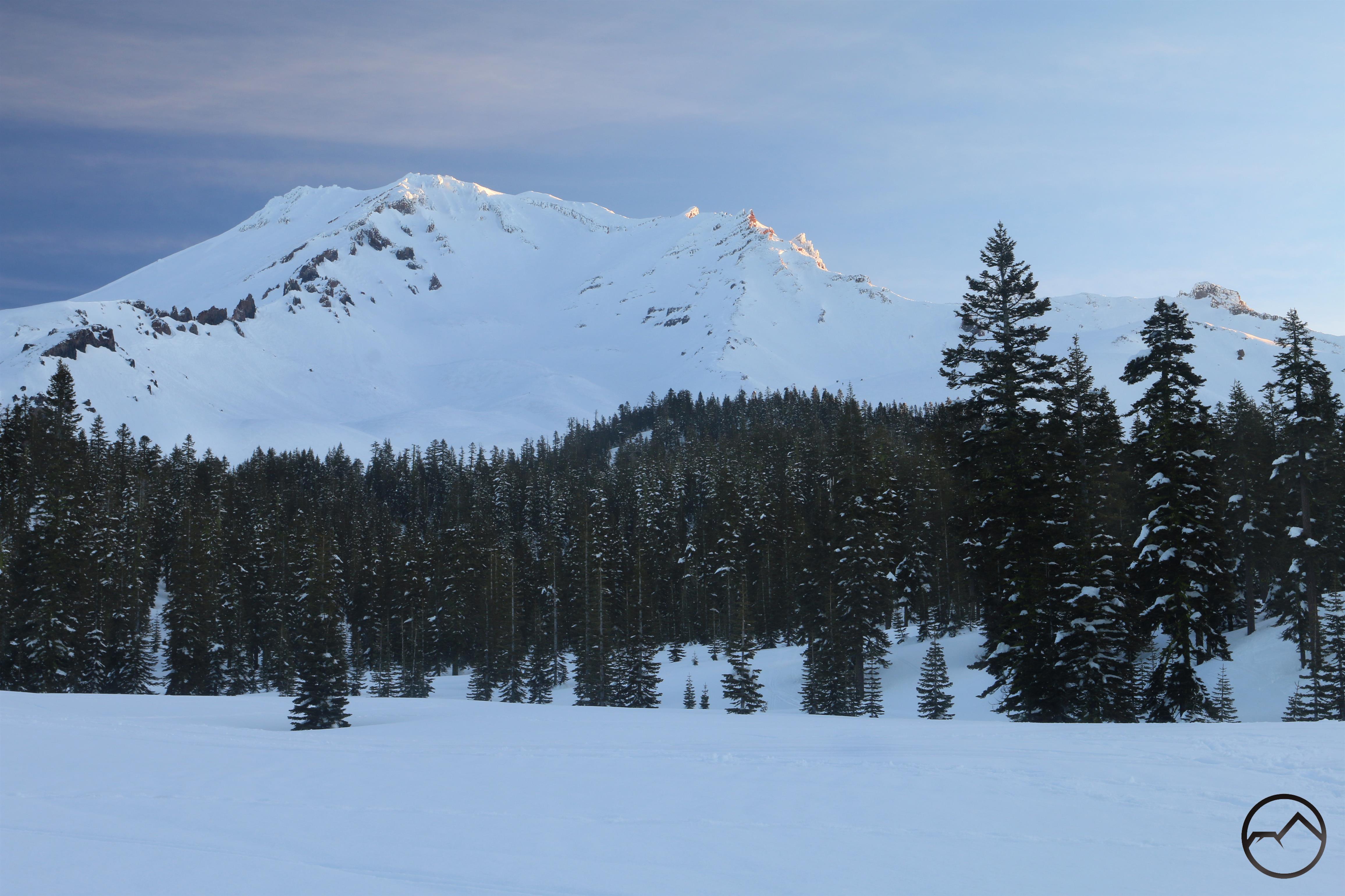
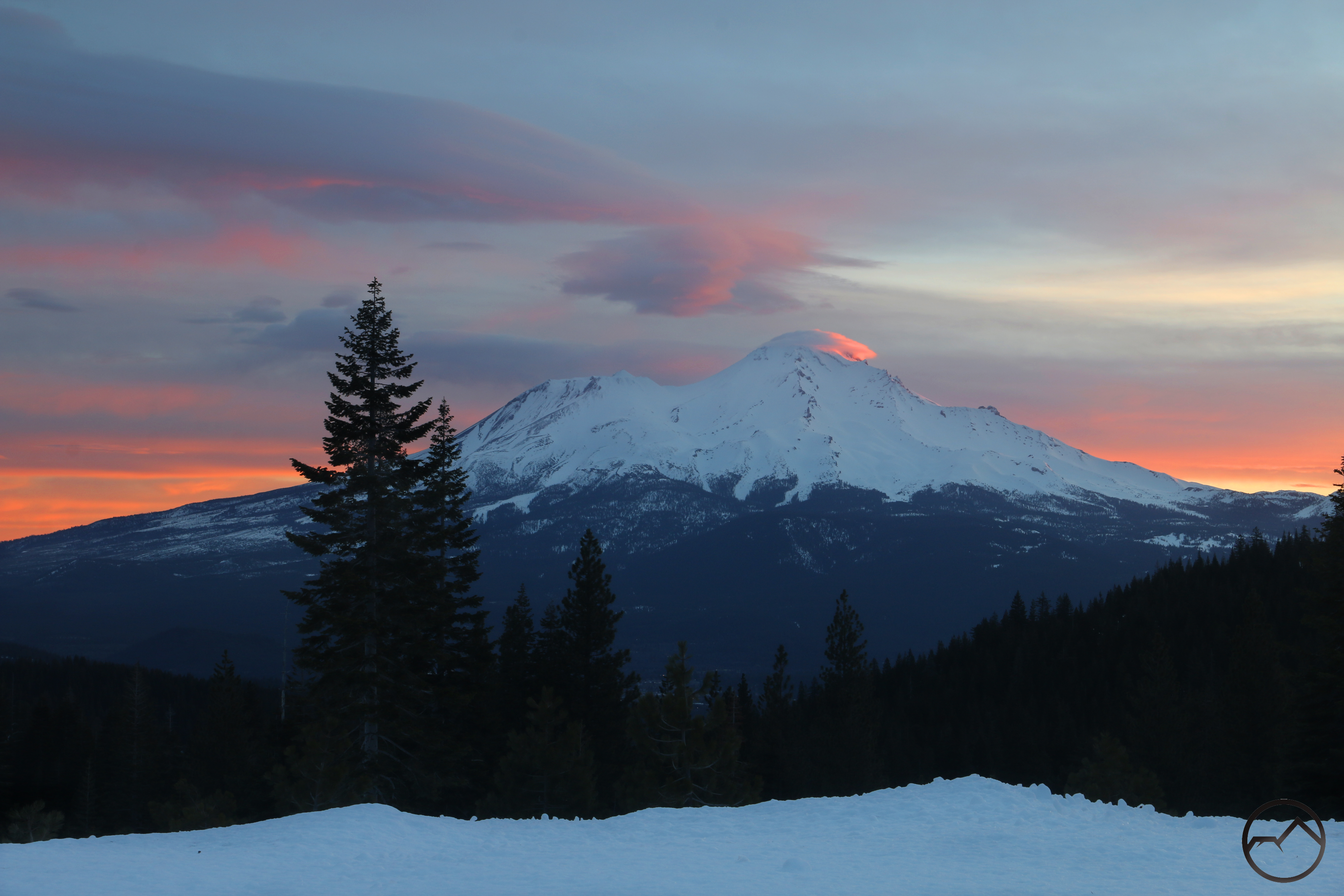
- A last view of Mount Shasta before heading into the forest.
-
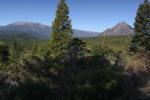
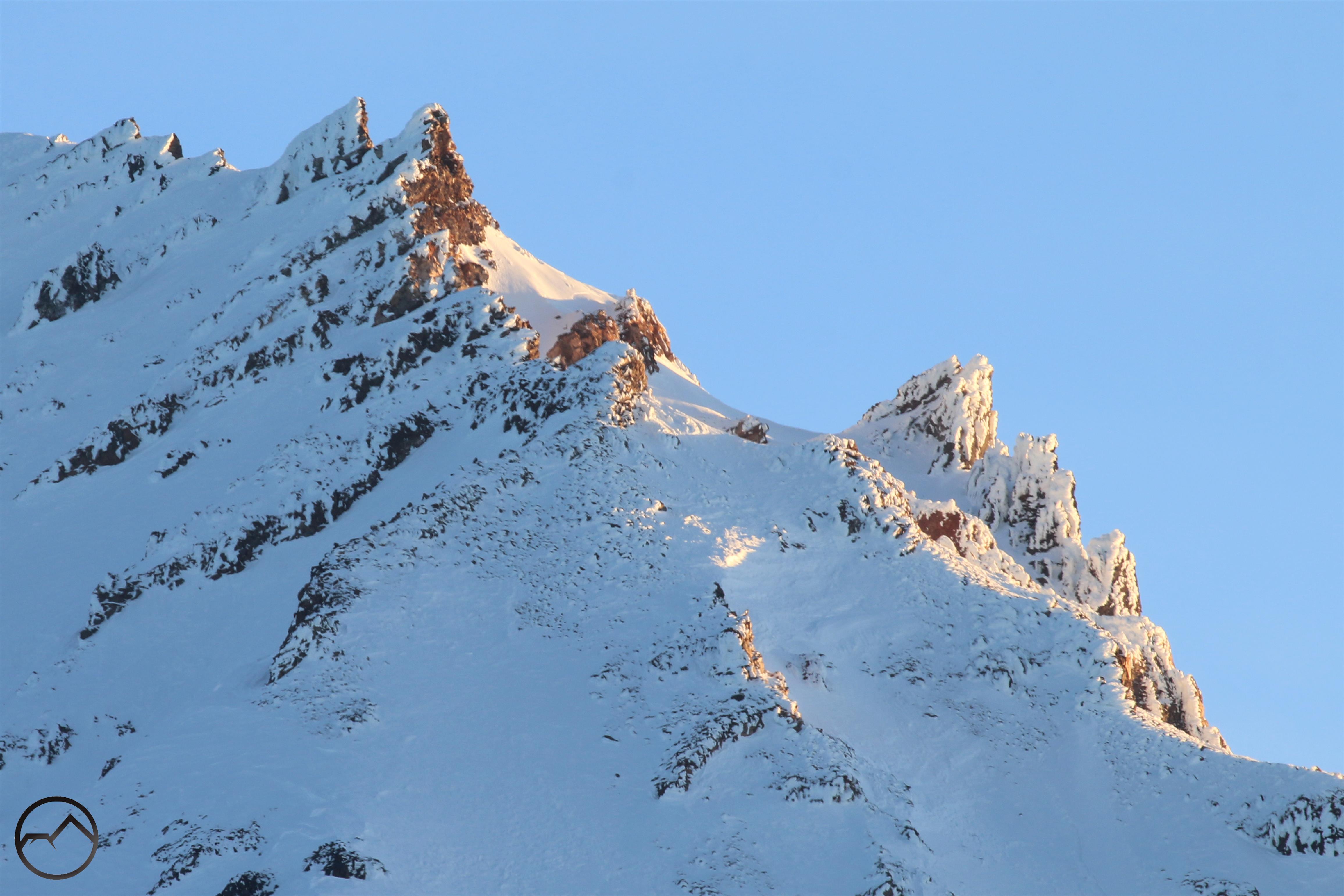
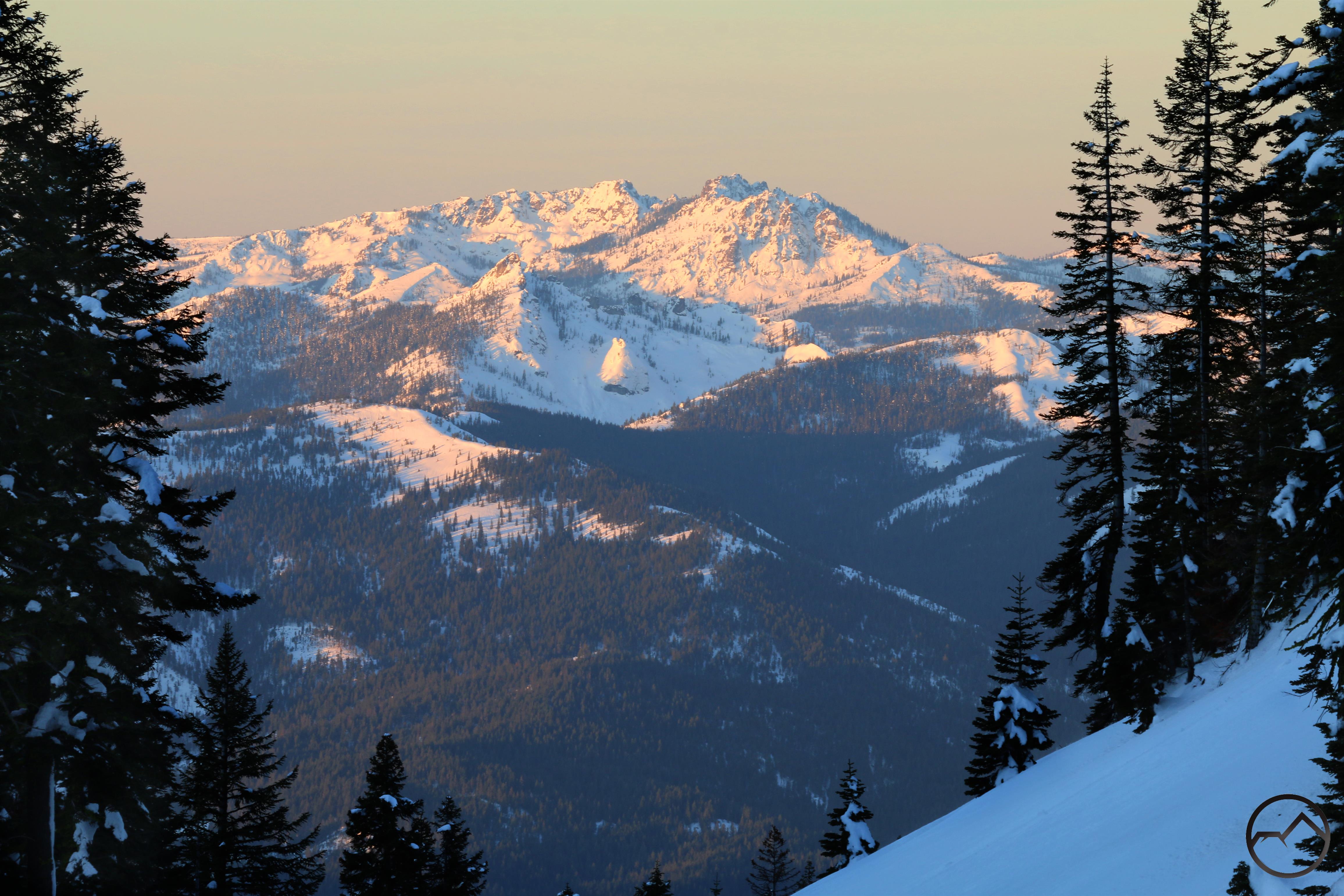
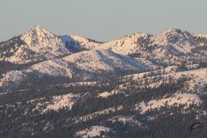
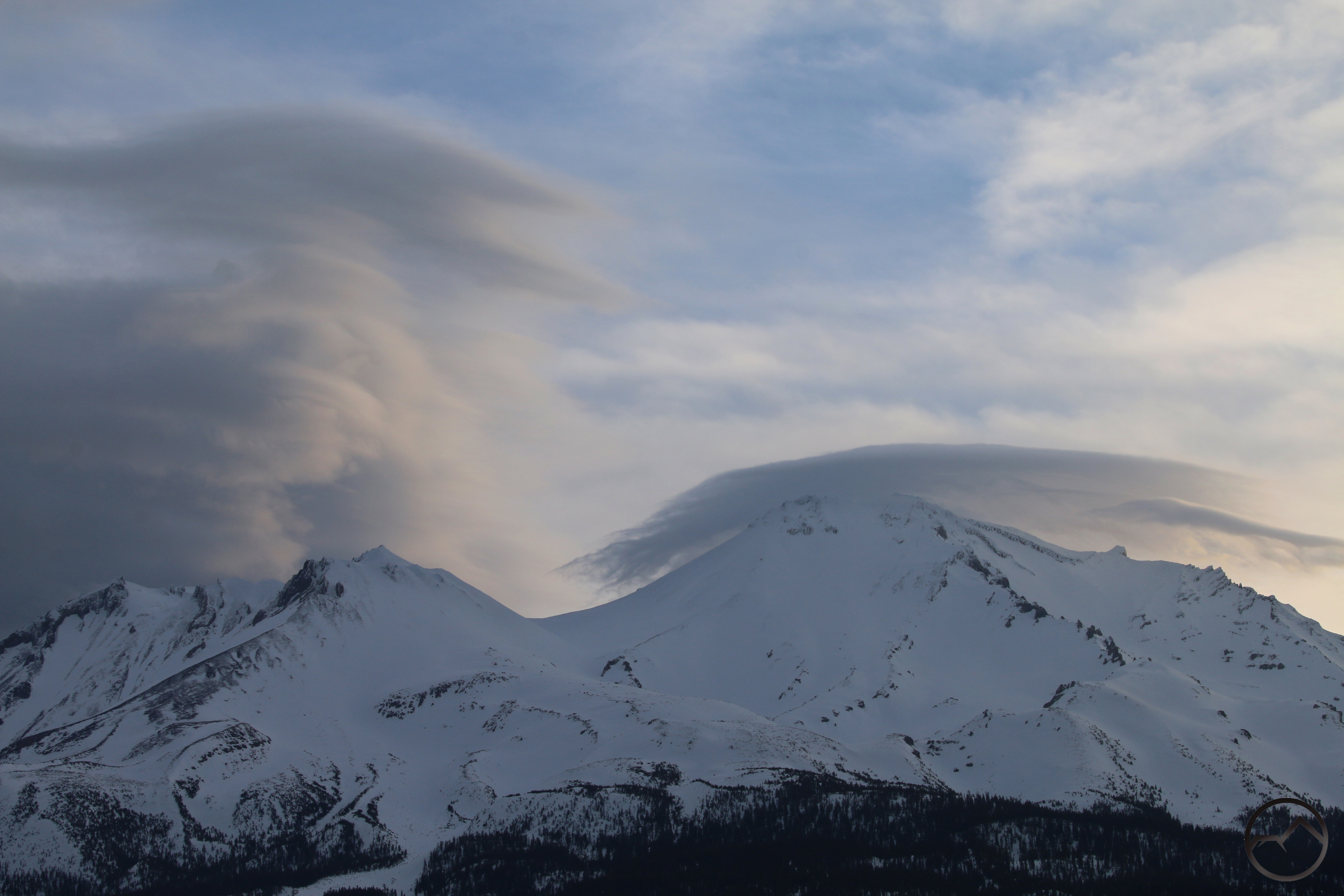
- The trail also features good perspectives on Mount Eddy and Black Butte.
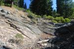
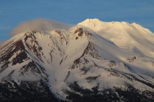
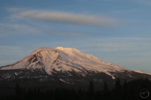
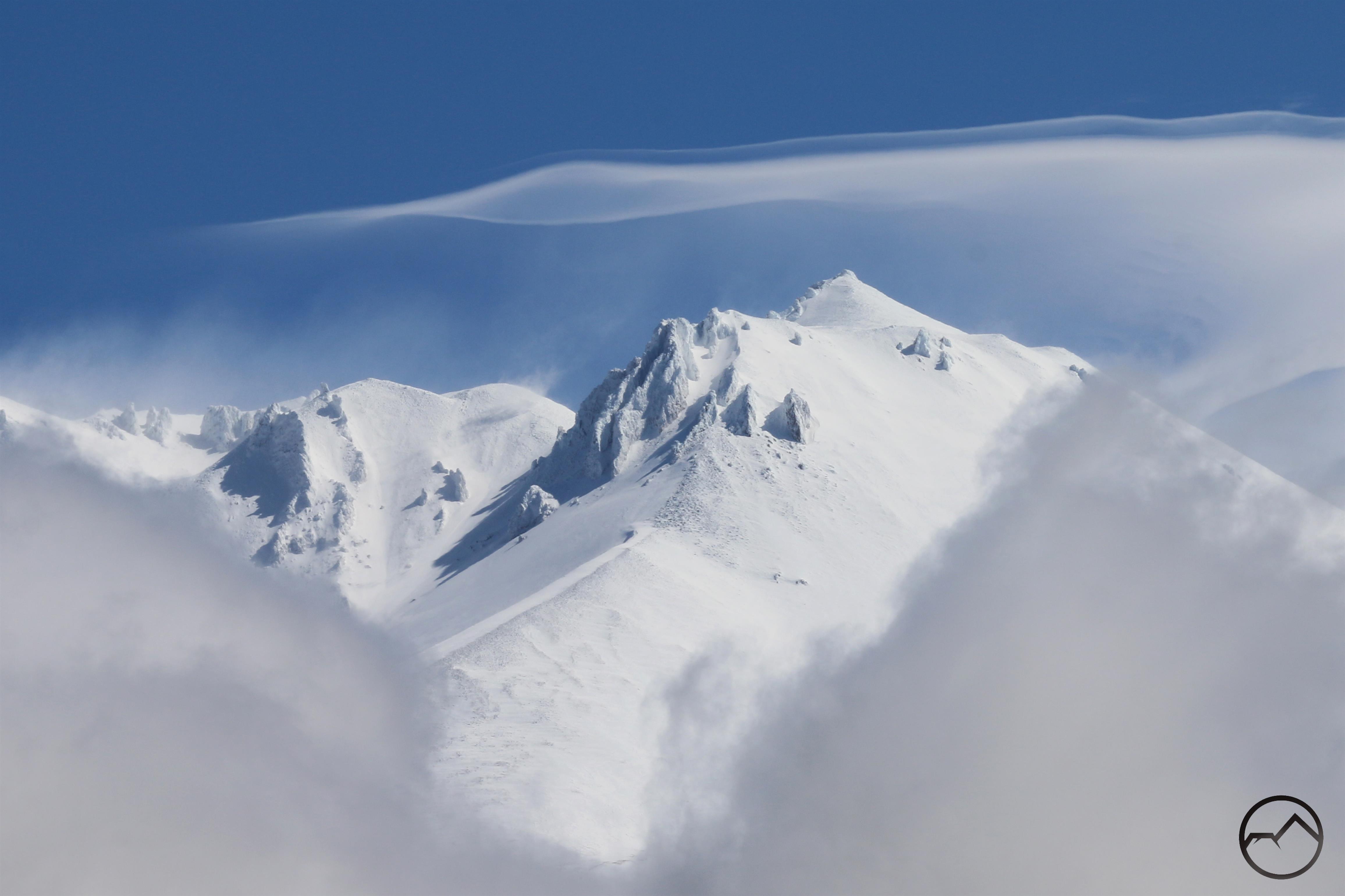
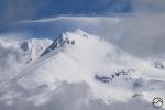
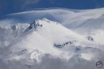
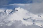
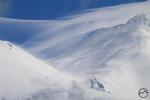
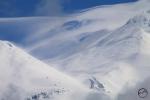
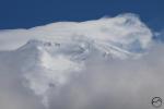
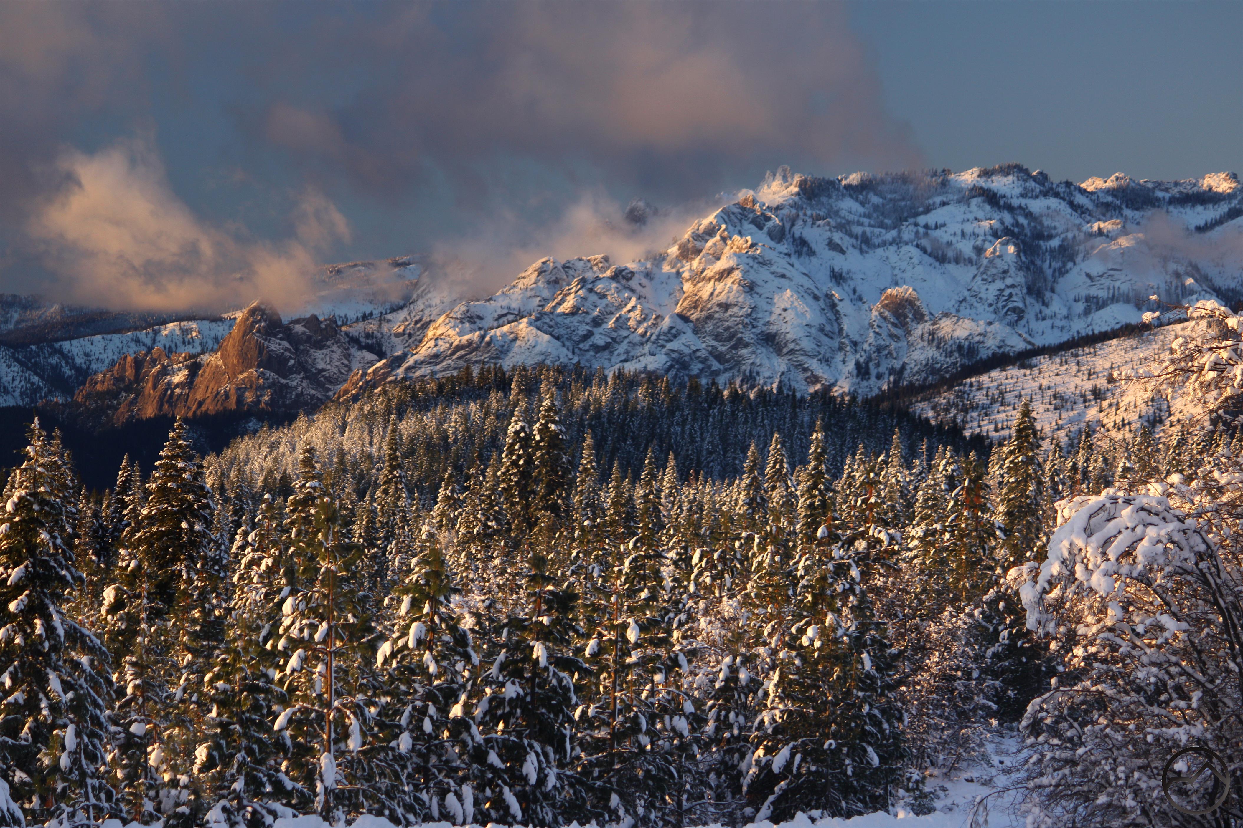
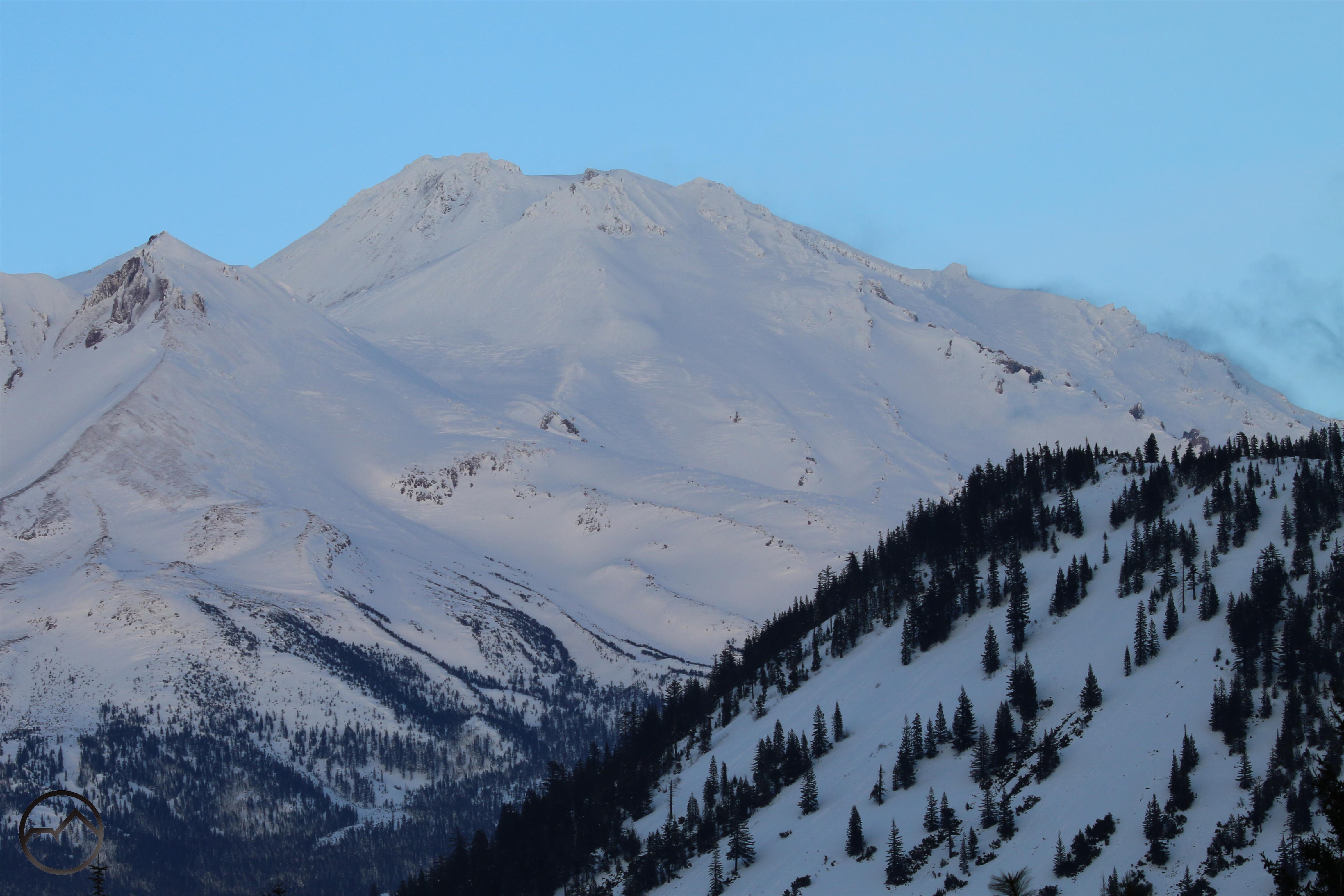
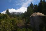
Spring Hikes In The Castle Crags
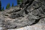
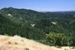
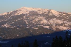
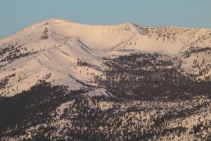
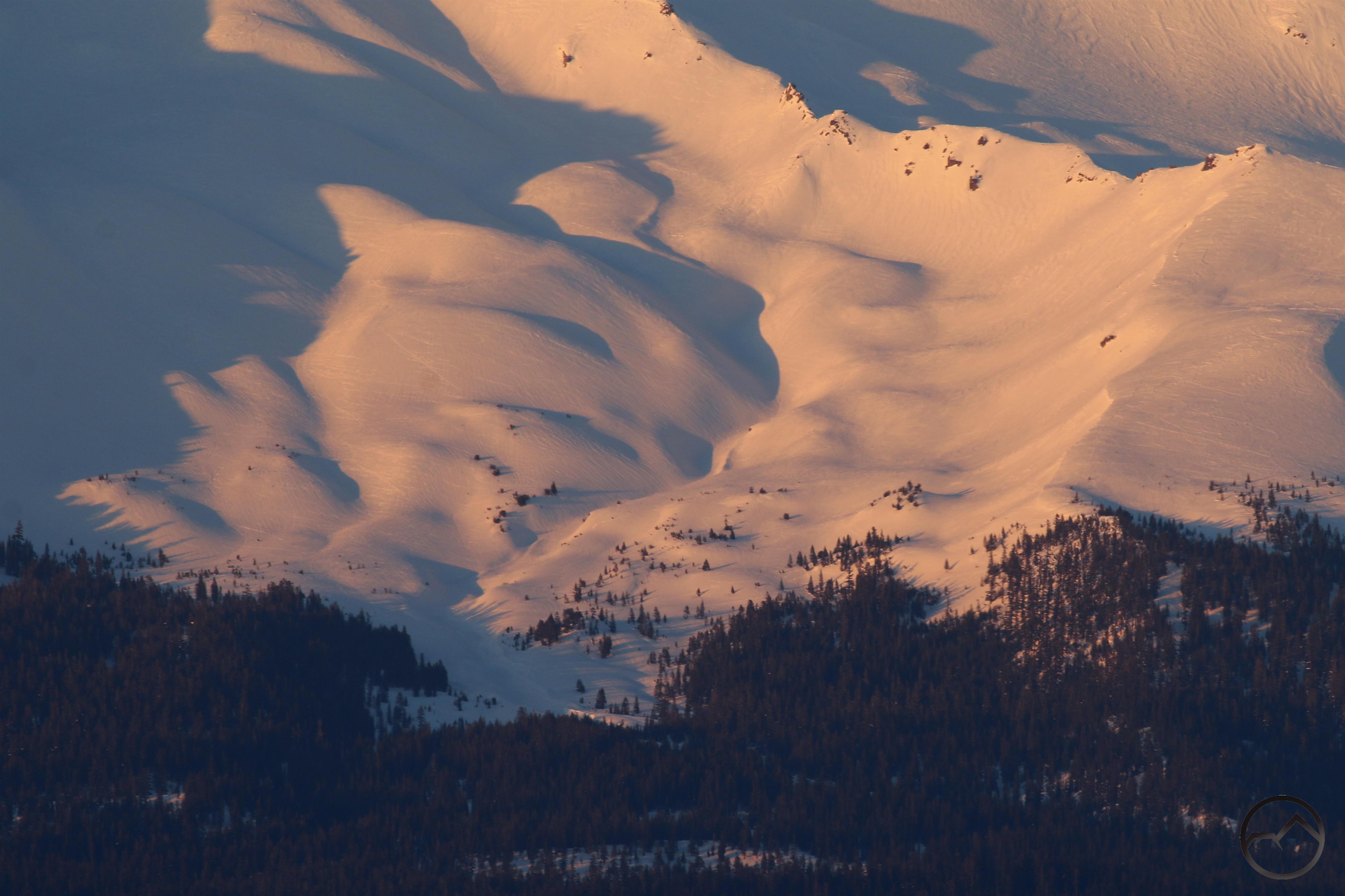
The Castle Crags are one of the most majestic mountain features in California. However, their lower elevation means they are often accessible when higher terrain is still smothered in snow. Still, the granite spires and great rock walls stand shoulder to shoulder with some of the most rugged terrain in the state. Though best hiked in spring, when the creeks are gushing and the weather, especially on the south side where most trails are found, is perfect, the winter may still be a good time to get out and enjoy this gorgeous mountain playground. Read more here.
-

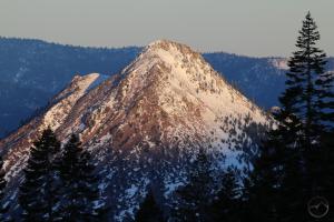
- Spires of the Crags
-
- Mount Shasta seen from the Castle Crags

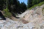
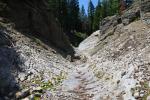
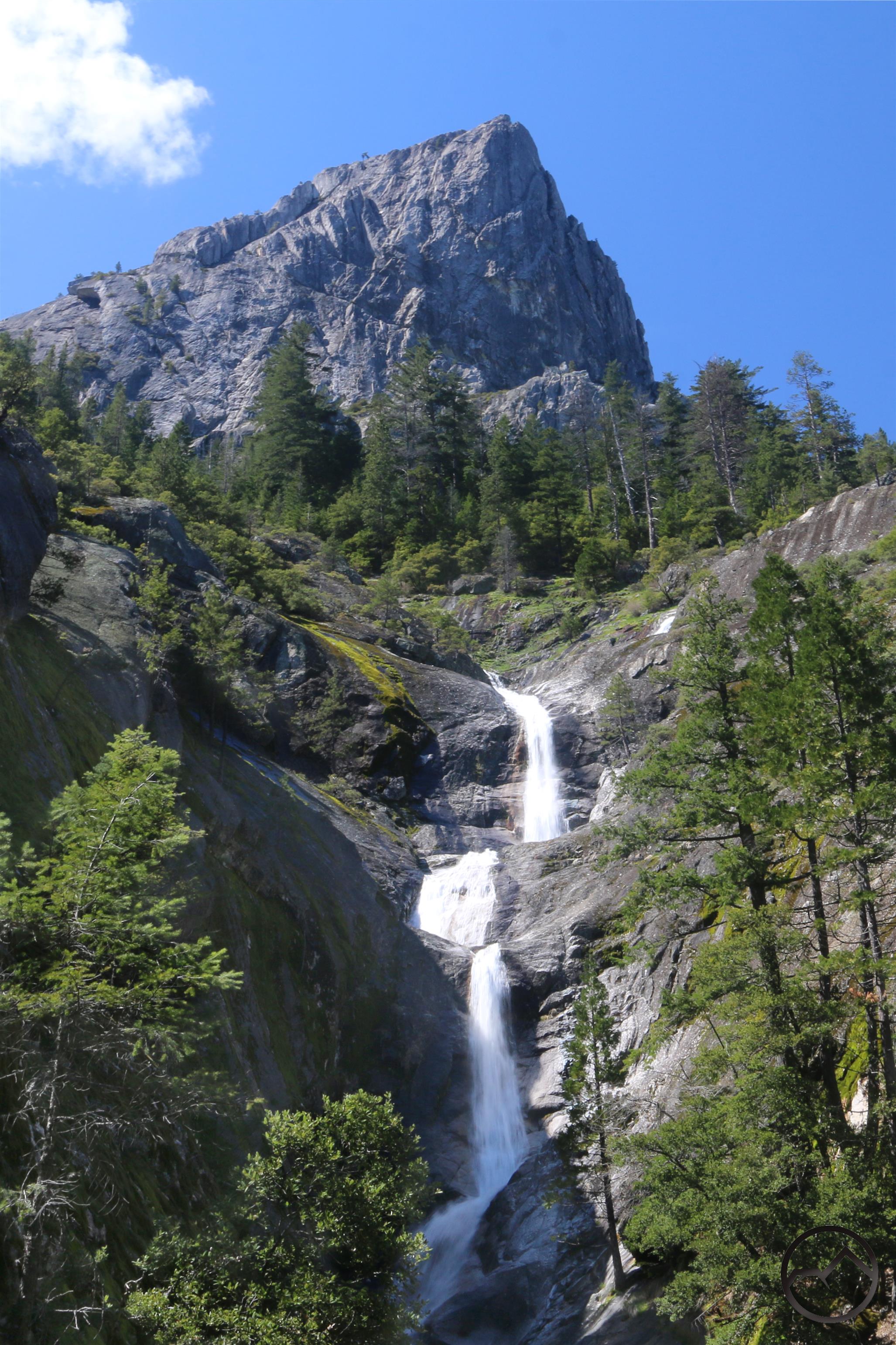
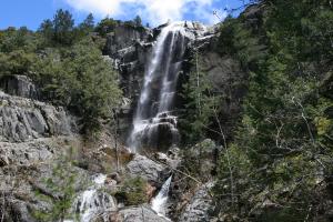
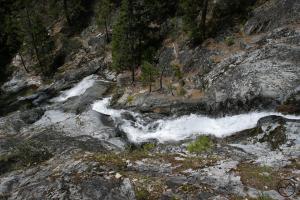
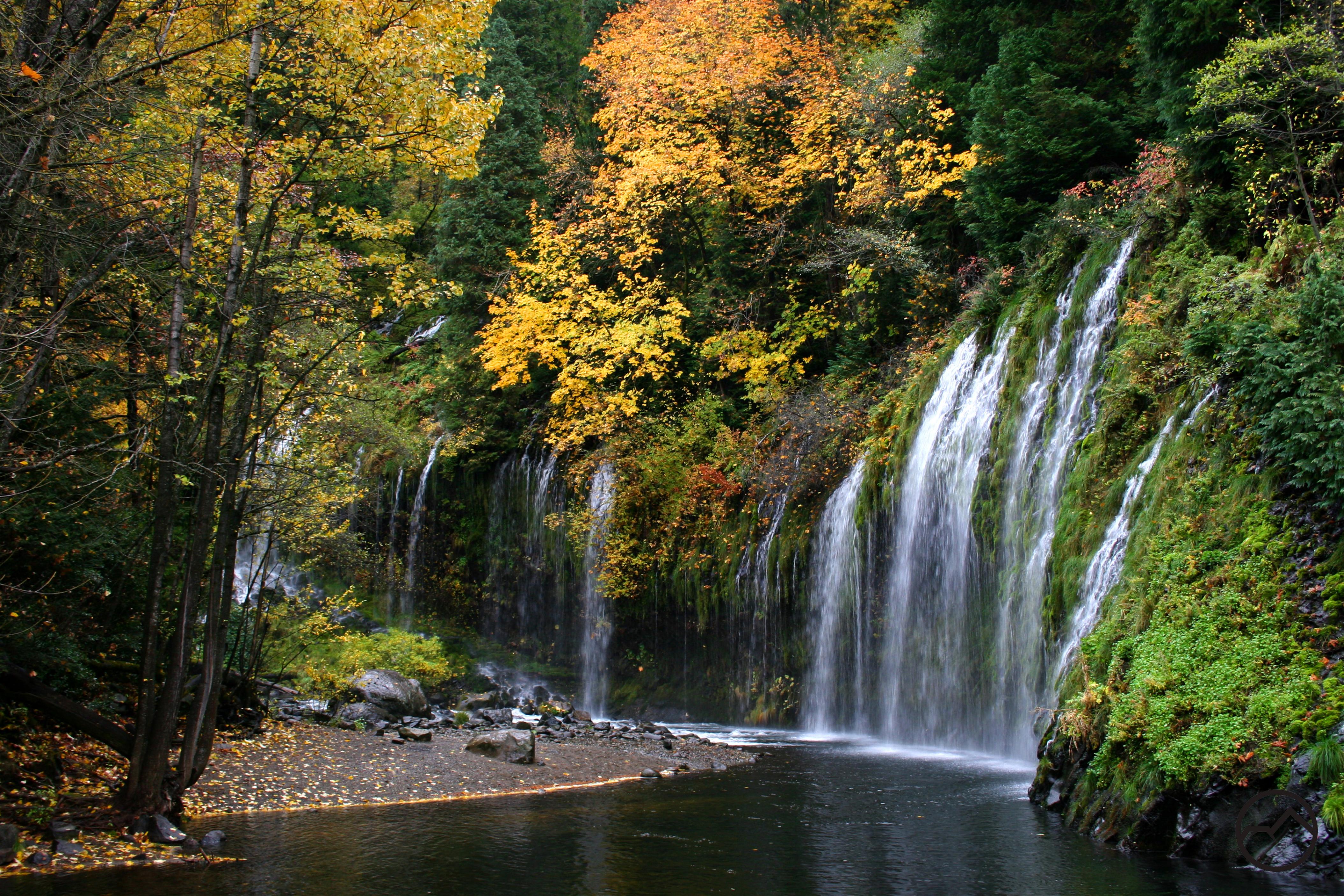
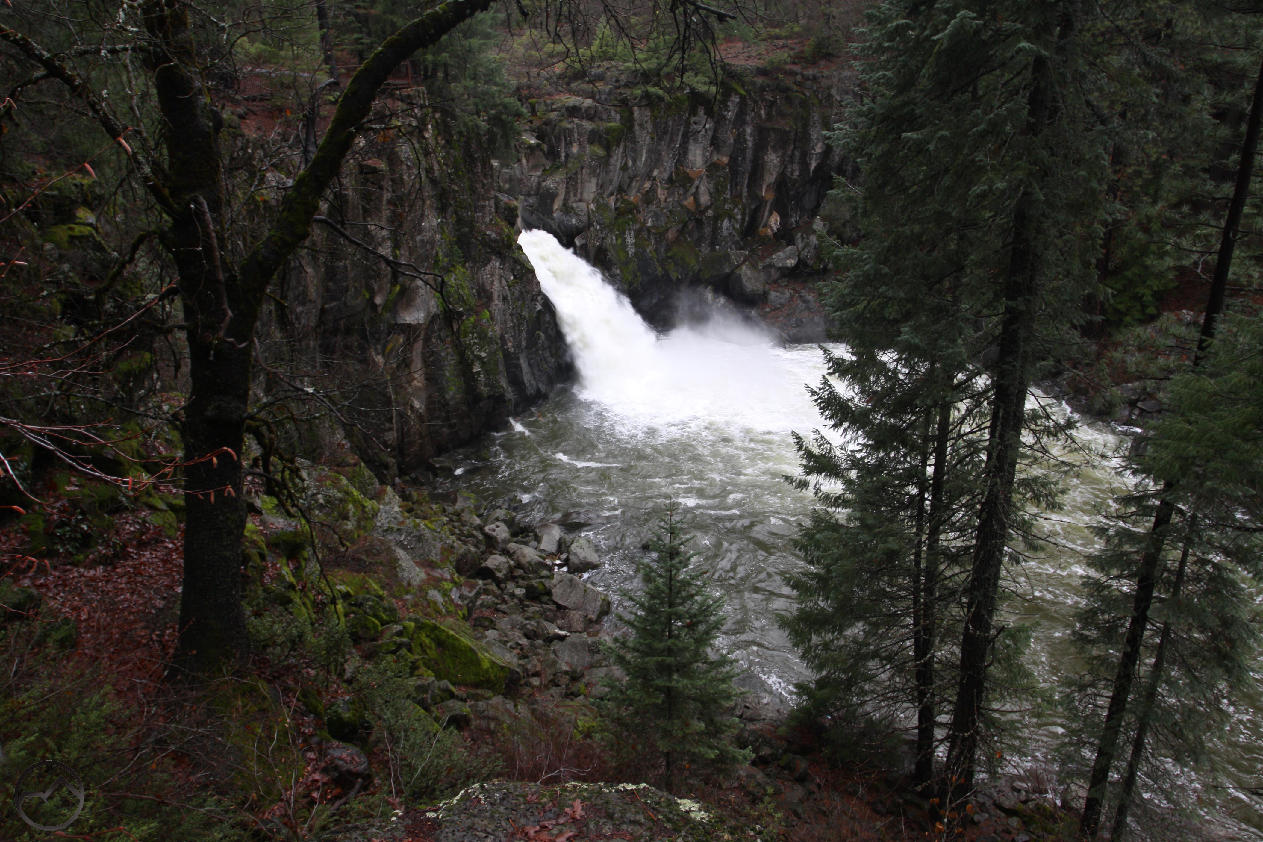
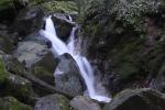
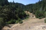
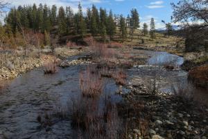
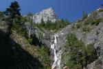
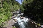
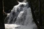
Spring Hikes On The Upper McCloud River
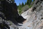
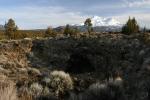
The McCloud River is one of the great attractions of the Mount Shasta area. With great fishing, a trio a awesome waterfalls, and beautiful forest surroundings, it is a popular destination. The waterfall along the river is a great hike and ought to be considered during winter if the access road is open. However, the McCloud River Trail follows the river for 15 miles and any section of this makes a great hike as long as snow is not covering the ground. Read more here.
-
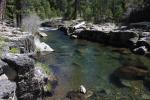
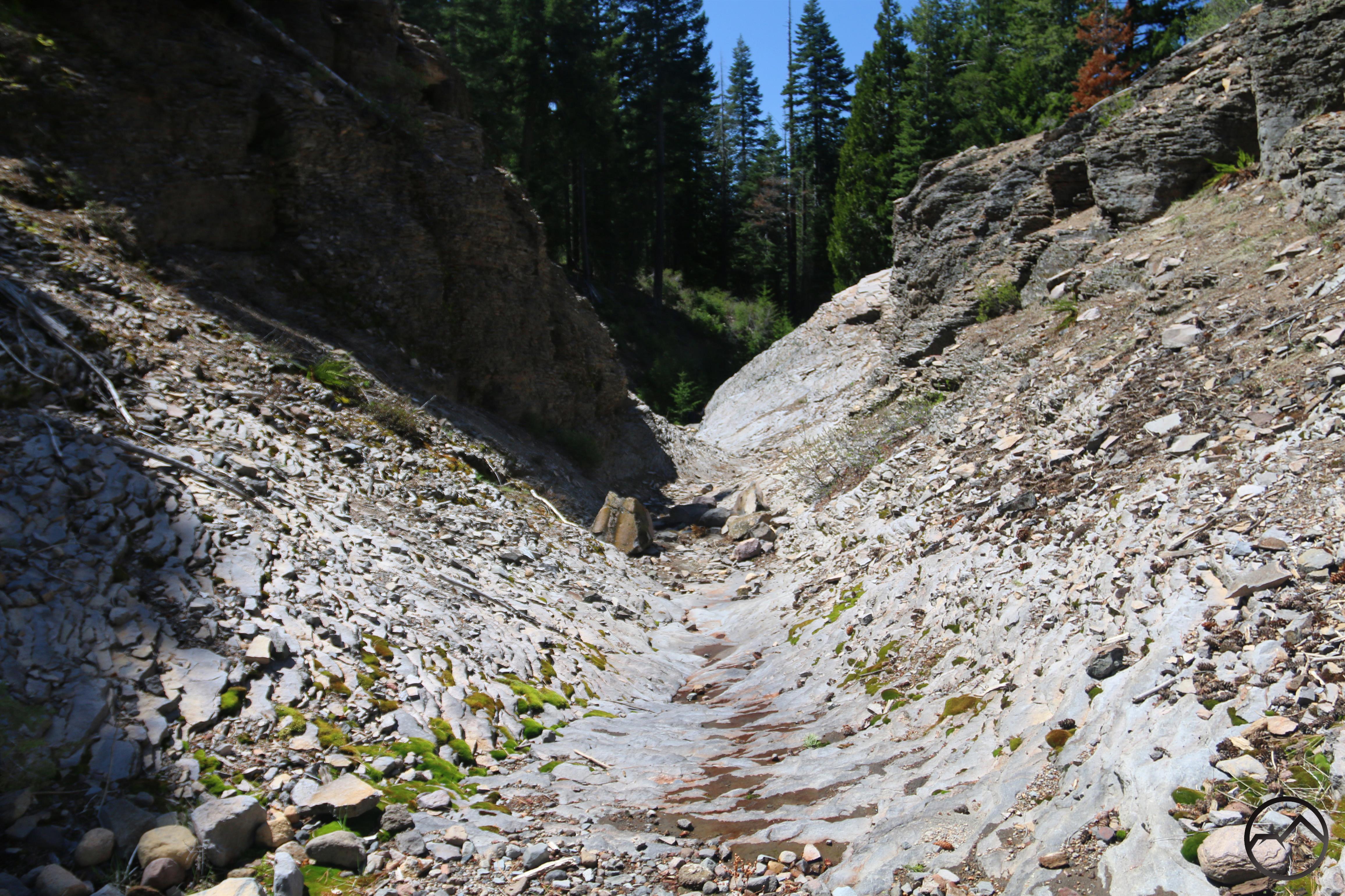
- Basalt gorge on the McCloud River
-
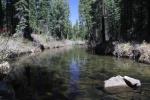
- The McCloud River downstream from Cattle Camp.
-
- McCloud River from the top of Middle Falls
-
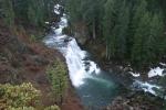
- Middle McCloud Falls
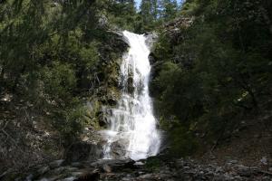
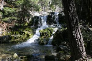
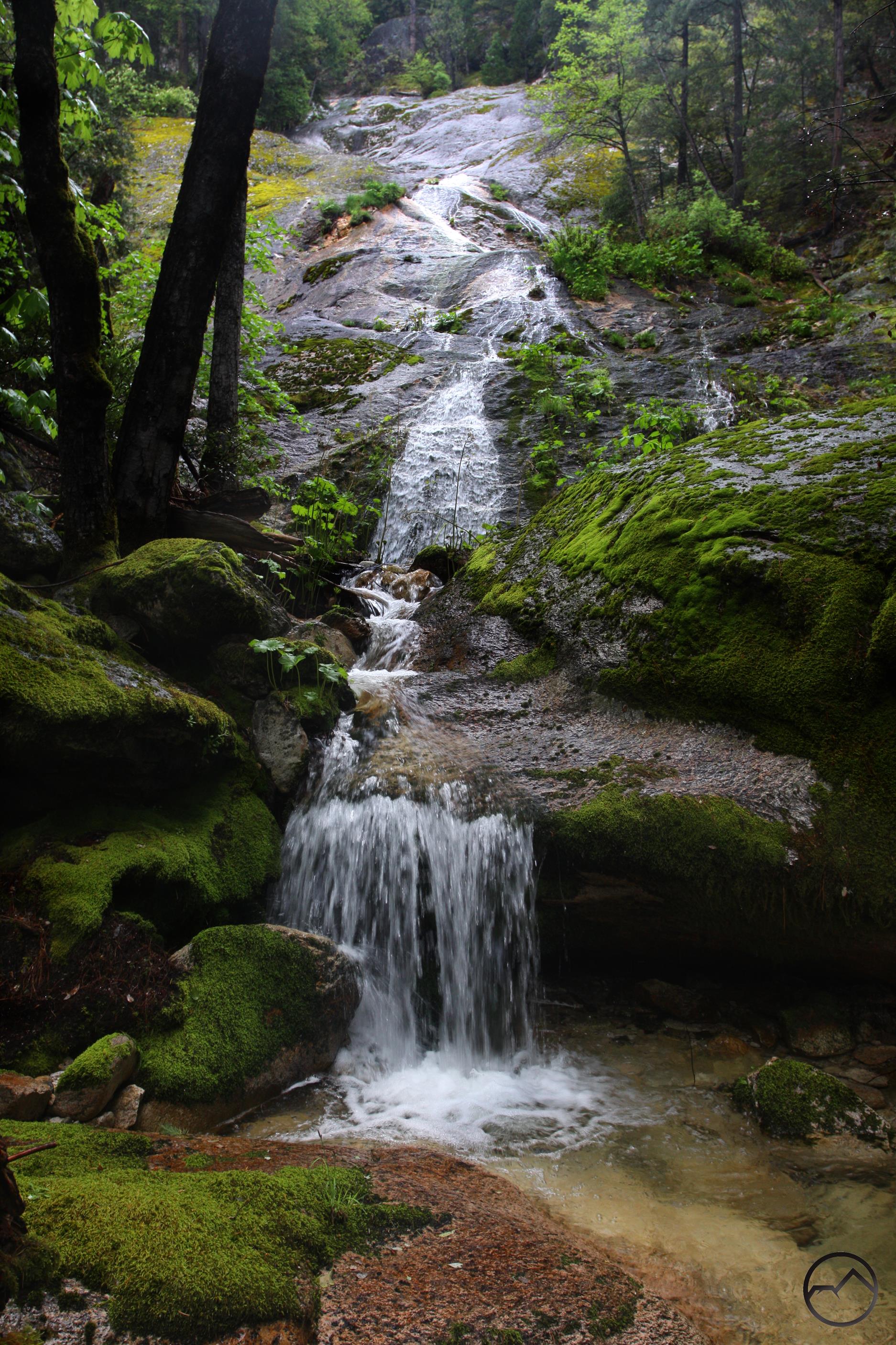
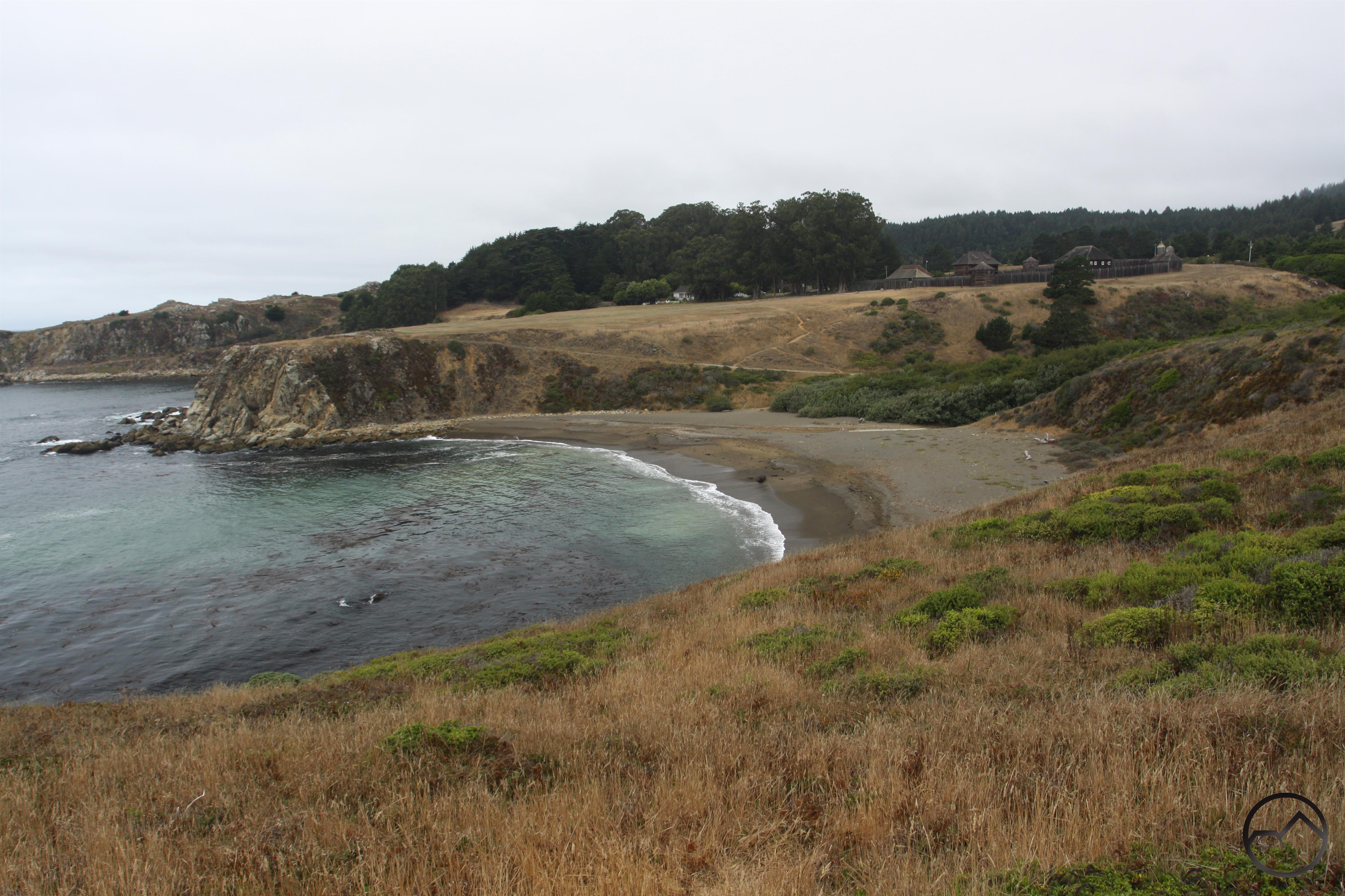
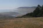
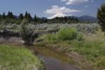
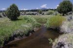
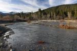
Spring Hikes On The Lower McCloud
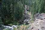
The Lower McCloud River sees far less activity than the upper section. Separted by Hearst property and the McCloud Reservoir, the two areas are strikingly different. The upper section flows through volcanic terrain while the lower part passes through an outlier of the Klamath Mountain. The terrain is very rugged and can be difficult access during winter. However, when it can be reached, solitude a beautiful scenery await! Read more here.
-
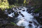
- Large cataract on the McCloud River
-
- The McCloud River from the PCT crossing.
-
- In the McCloud River Canyon
-

- Squaw Valley Creek Falls
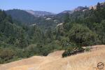
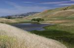
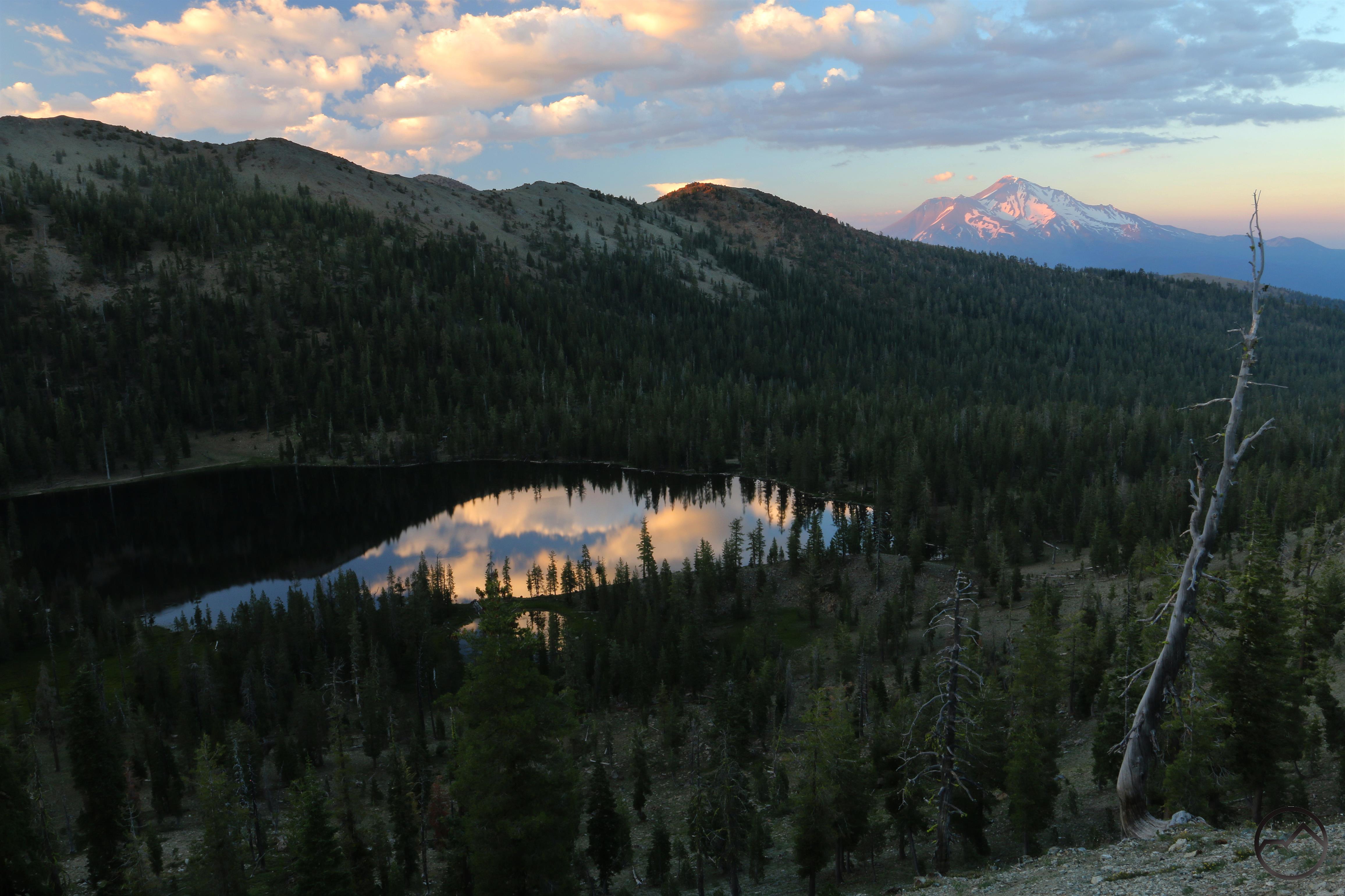
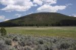
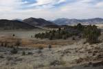
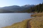
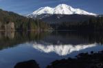
Spring Hiking At Orr Lake
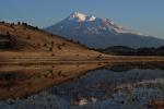
The area around Orr Lake is a mix of high desert and ponderosa pine forest, surrounding a large, lush meadow fed by remote Butte Creek. It’s higher in elevation than the high desert of the Shasta Valley, which means it is often not a good place to go in winter. However, in spring, it is ideal. The lake is full, the creek is running strong and Mount Shasta, visible beyond the lake, is white. Other than portions of the trail being closed at times for nesting birds, it is a great place to get outside in the months before summer. Read more here.
-
- Sunrise at Orr Lake.
-
- Mount Shasta rises above Butte Creek
-
- The distant Goosenest seen from Butte Creek.
-
- Orr Mountain seen beyond the Orr Lake meadow.
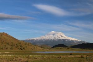
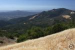
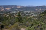
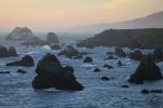
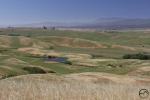
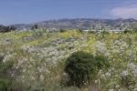
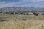
Spring Hikes In The Shasta Valley
North of Mount Shasta, the desert landscapes of the Shasta Valley offer a strikingly different environment than what is found along most trails in the region. The only conifers here are junipers and sagebrush is ubiquitous. For those that like the desert, the beauty of this area needs no explanation. For those less familiar, there is ample wildlife, beautiful rock formations and magnificent 360 degree views, crowned by some of the best views of Mount Shasta to be found anywhere. Read more here.
-
- Mount Shasta rises above Yellow Butte
-
- Herd Peak, Sheep Rock and Yellow Butte
-

- Pluto Cave
-
- Mount Shasta rises above Pluto Cave
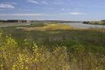
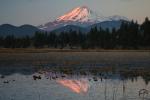
Spring Hikes In The Shasta Valley Wildlife Refuge
At the northern end of the Shasta Valley lies a large parkland administered by the State of California. The Shasta Valley Wildlife Refuge was once a working ranch but is now a haven for a variety of wildlife, especially birds. It is also a refuge for hikers looking for incredible vistas. Though it can be closed at times during winter, there are still opportunities to explore it and once it is reopened completely, it is a place of great beauty, beckoning to be explored! Read more here.
-
- Mount Shasta reflects in a pool by Steamboat Mountain.
-
- Looking north toward the Siskiyous
-
- The Cascade Crest seen from Trout Lake
-
- Mount Shasta looms far beyond Trout Lake
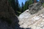
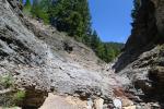
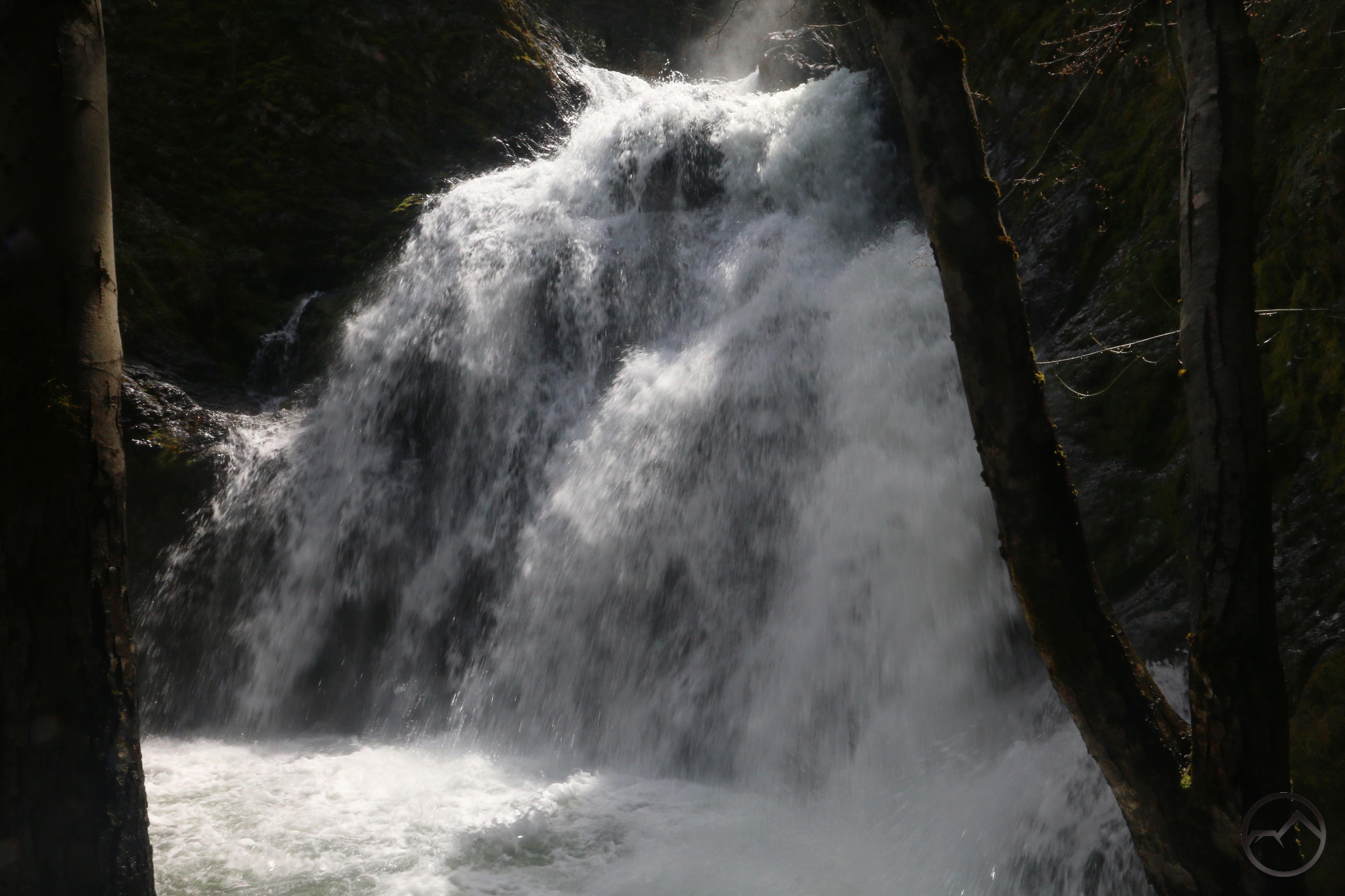
Three Spring Trails Near Mount Shasta City
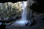
Mount Shasta City is blessed with a number of great paths within and just outside of its city limits. Three of the best are the Box Canyon, Ney Springs and Spring Hill Trail. These offer solitude, Mount Shasta Vistas, unique history, spectacular geography and even some excellent waterfalls. These all lie just minutes outside of town. Also, don’t forget that Mount Shasta City has some great short trails right in town! Read more here.
-
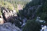
- Box Canyon of the Sacramento River.
-
- Inside the Box Canyon of the Sacramento
-
- Faery Falls
-
- Rocky Point on the Spring Hill Trail.
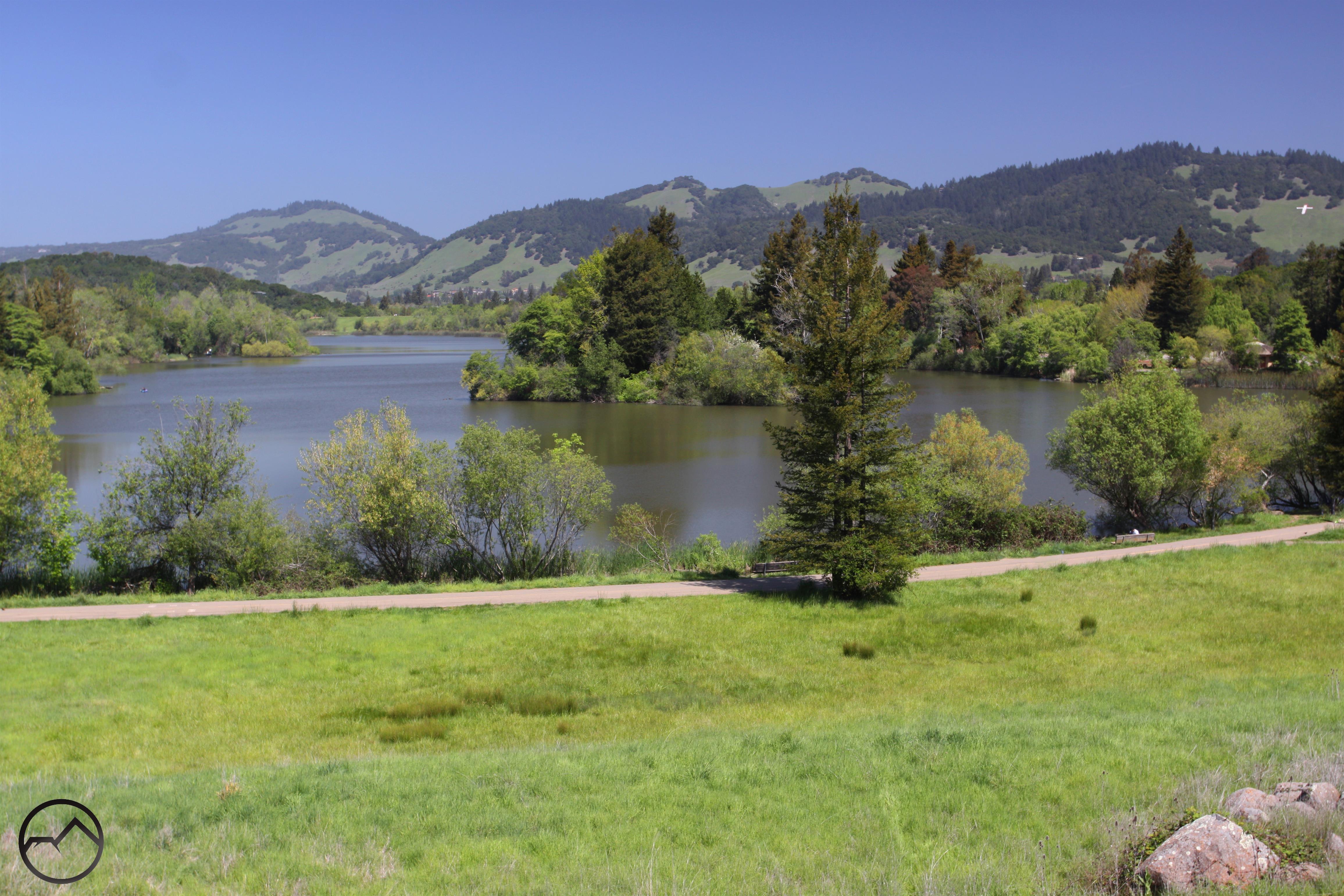
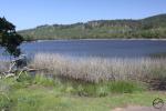
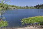
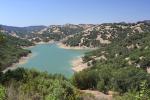
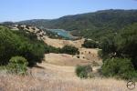
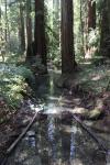
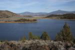
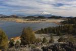
Spring Hikes On The Lake Siskiyou Trail
The Lake Siskiyou Trail is an incredible recreational resource just a couple minutes outside of Mount Shasta City. During the summer and fall, a loop trail encircles the lake. However, in winter the seasonal bridges over the Sacramento River are removed. While the loop can’t be hiked without fording the river (extremely dangerous after storms and during high runoff), several sections of the trail still make great out and back hikes. They feature beautiful forests, the lake itself and incredible views. Due to the relatively light winter, the bridges should be places over the Sacramento sooner rather than later this year. Read more here.
-
- Mount Eddy at the Sacramento River inlet.
-
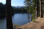
- Hiking along South Shore
-
- Views from North Shore.
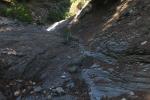
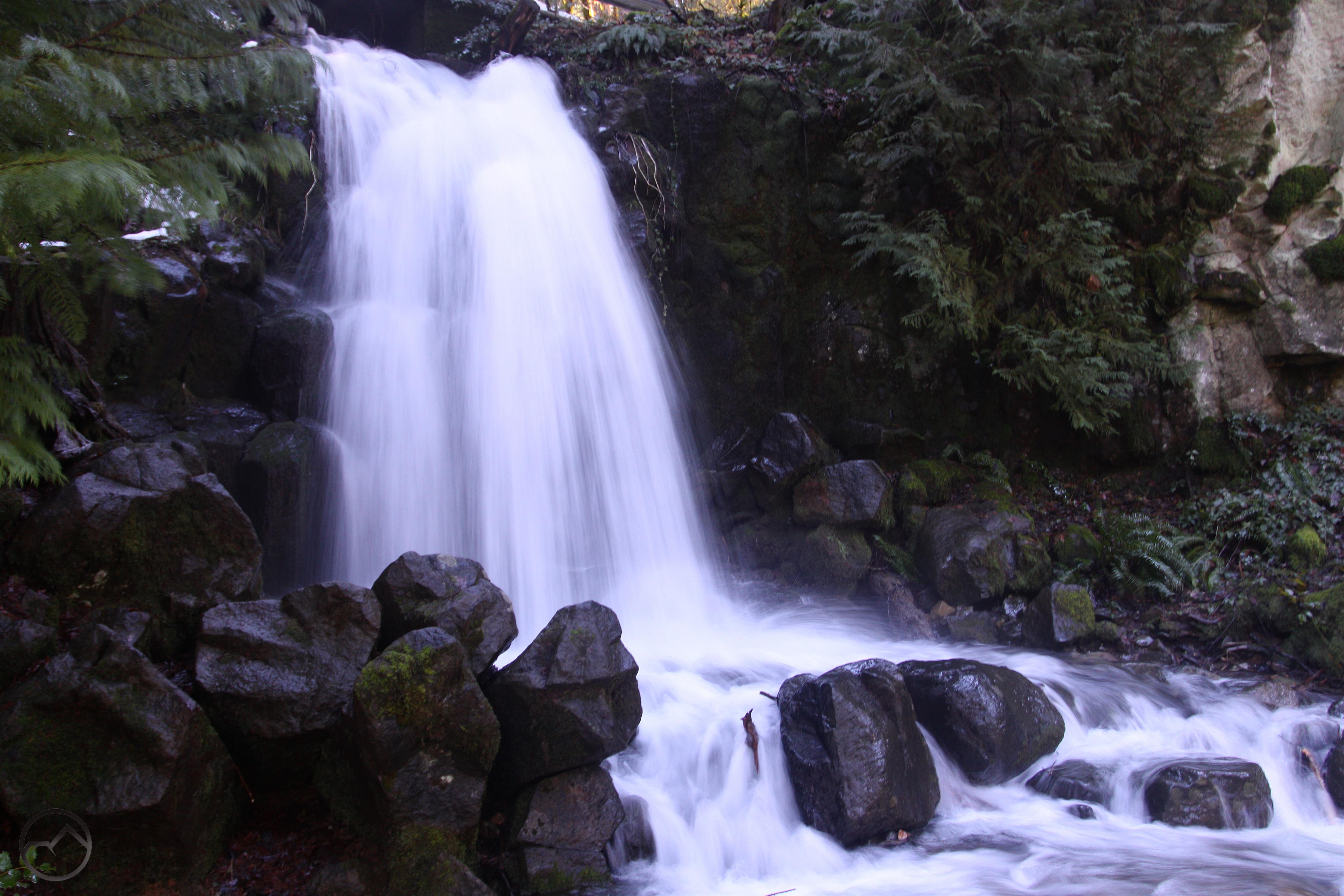
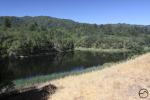
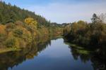
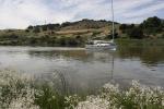
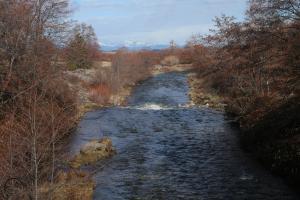
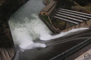
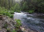
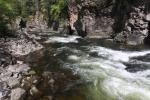
Spring Hikes On The Sacramento River
Most people in California think of the Sacramento River as the wide, winding waterway that lazily flows through the Central Valley. Here just below the headwaters, however, it is a swiftly flowing mountain river. Deep in its canyon, the lower elevation means it is often free of snow and the trails are easily accessed. Hiking along the river in winter is a treat that offers a taste of wild mountains for minimal effort. Read more here.
-

- Hedge Creek Falls
-
- Behind Hedge Creek Falls
-
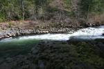
- Rapids Along the River Trail.
-
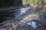
- Along the Sacramento River Trail.