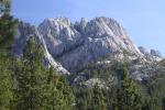
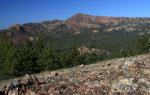
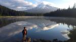
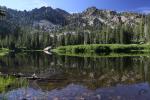
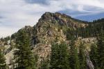
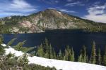
The magnificent Sierra Buttes rise above the Sardine Lakes.
This is the second post in the Northern California Review, a new series I am kicking off that highlights other natural areas around our great state. I don’t intend these to be trail guides, but rather an opportunity to focus a little light on a particular area and why it is special. Subjects like geology, hydrology and history are the kinds of things I want to discuss. Often times I will draw attention to how they relate back to Mount Shasta, if in some way they do. In no way is this broader scope of areas covered by my blog intended to lessen the focus I will give to Mount Shasta on this site. Rather, it is my hope that I will place Mount Shasta in the broader context of the state and showcase how many excellent destinations we are blessed with. I hope everyone enjoys this journey…
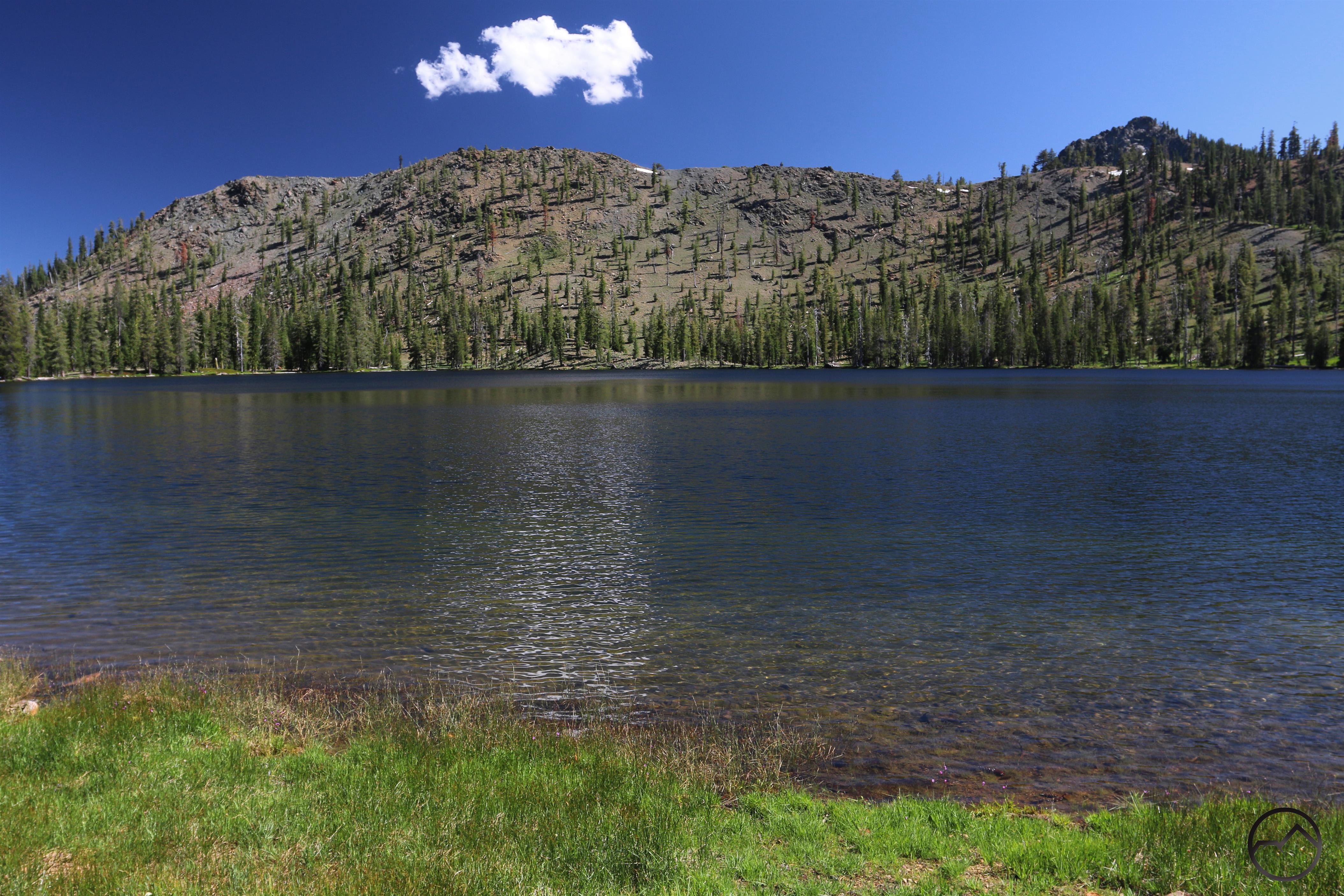
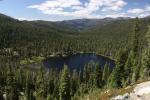
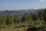
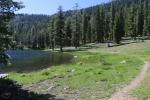
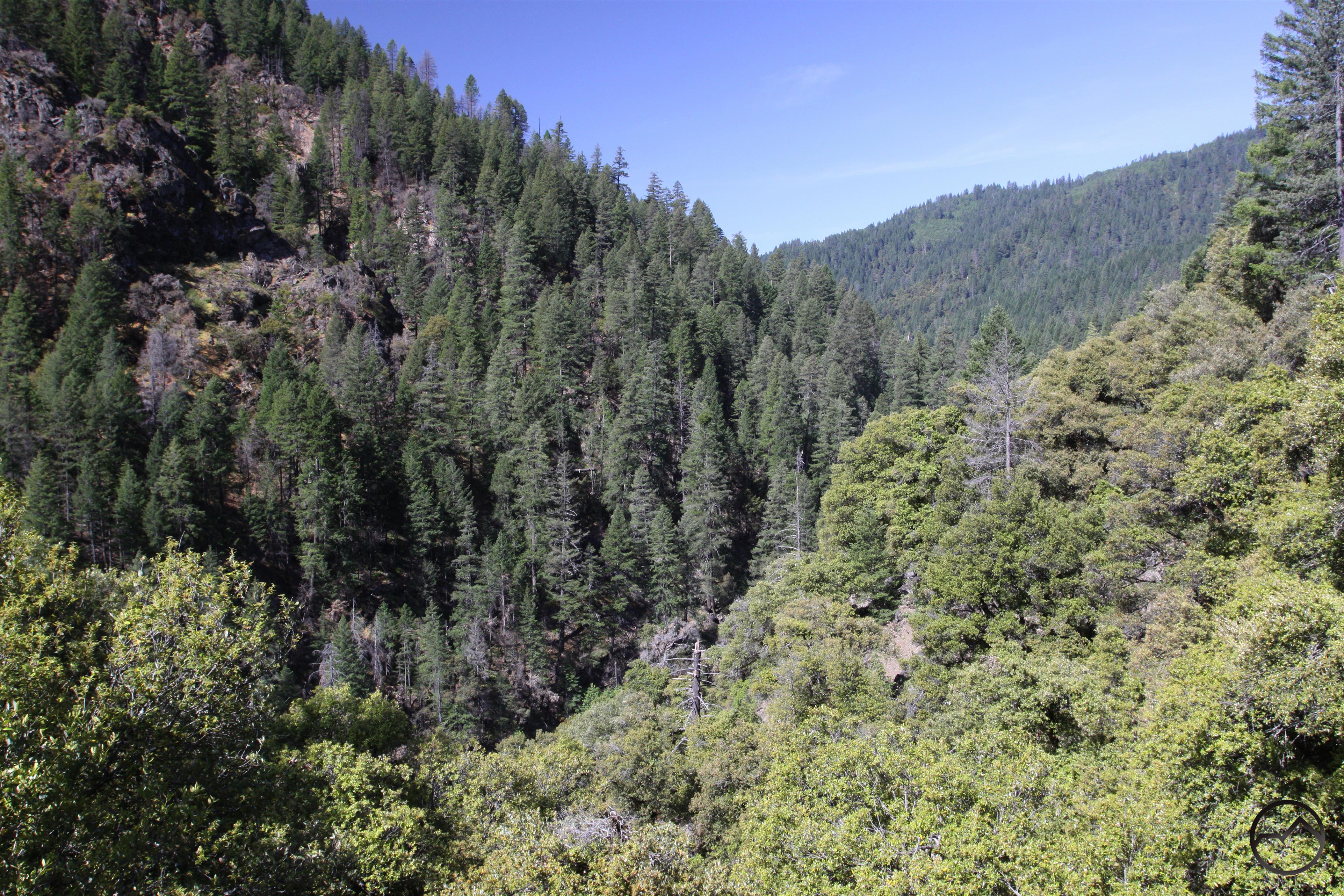
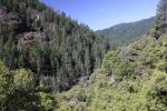
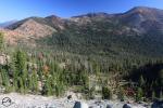
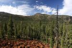
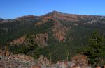
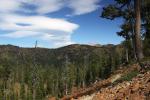
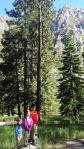
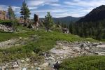
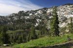
One of the northernmost outposts of rugged, alpine terrain in the Sierra Nevada, the Lakes Basin area is a fantastic hiking, camping, kayaking and mountain biking destination. Boasting nearly 4 dozen named lakes and numerous unnamed tarns, this area lives up to its limnic name. Most of the lakes are set beneath rocky cliffs, which make the area a scenic feast for those who come to enjoy this excellent mountain region. While most of the area is rugged, it is not particularly craggy, with only a few notable mountains make an appearance. Instead, the area exhibits its asperous nature in a more friendly manner. The cliffs are tall, but not exceptionally so. The lakes are varied in size and set in accessible basins, some of which are low and can be driven to while others are high and require long hikes to reach. It is this balanced but beautifully rocky nature that makes the Lakes Basin area such a fantastic hiking destination.

Dozens of lakes and rocky terrain abound in the Lakes Basin area.
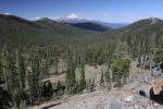
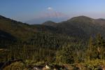
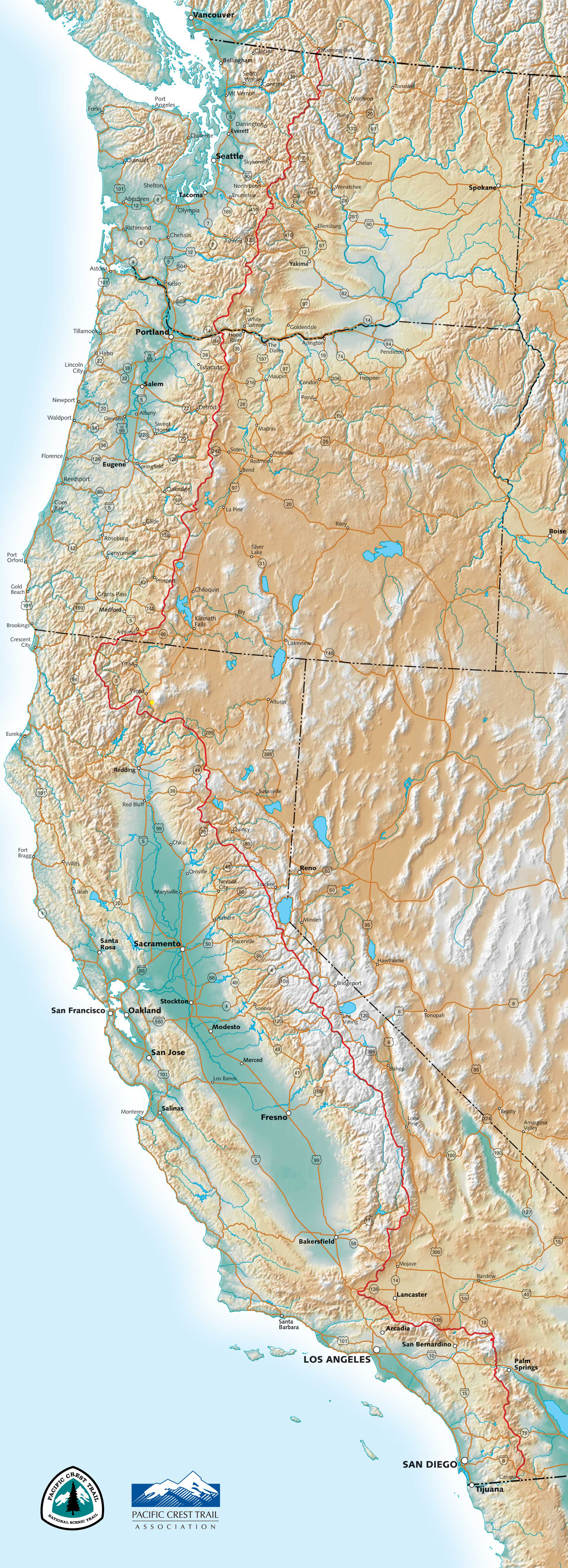
In a broad perspective, the northern Sierra Nevada can roughly be defined as that part of the Sierra Nevada that begins at Carson Pass, includes the Lake Tahoe Basin and continues north 120 miles to Lake Almanor. Compared to the parts of the Sierra Nevada that lie further to the south, this area is typically more subdued and less wild than the vast wilderness of jagged mountains that is the signature of California’s signature mountain range. While there are some fantastic mountains around Lake Tahoe, the subdued trend becomes more evident the further north you go. Despite this, the Lakes Basin area appears to be an island of craggy, glacially carved terrain. It is surrounded by decidedly less rocky, less rugged mountains in nearly every direction.

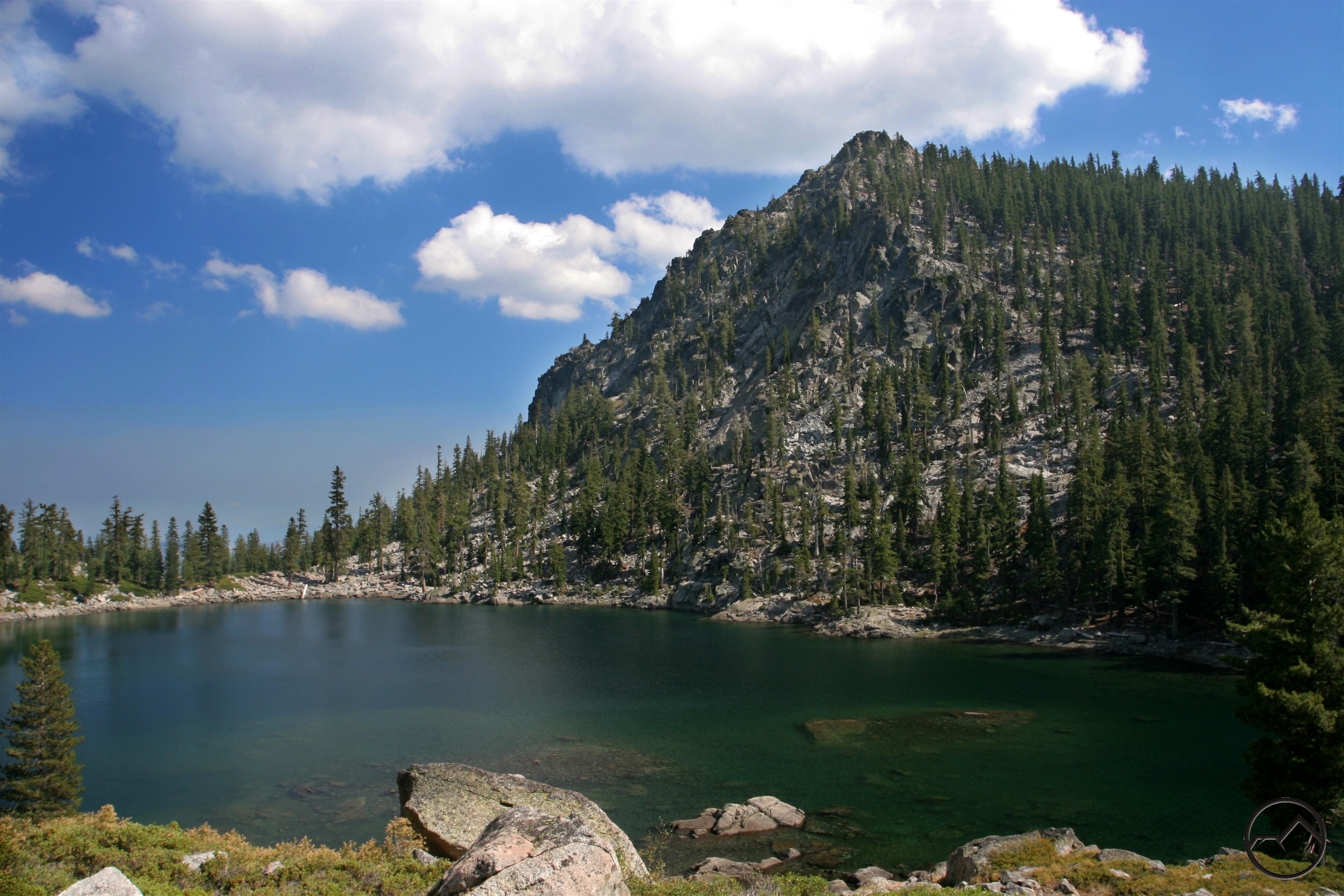
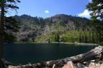
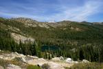
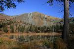
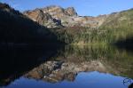
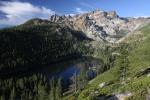
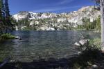
Quartz porphyry cliffs above Long Lake.
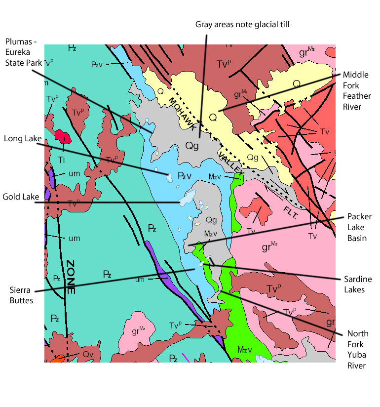
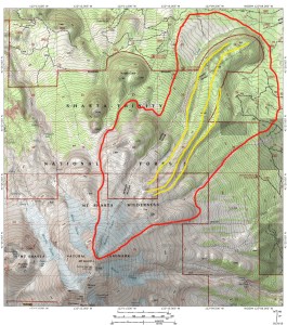
Geologically the area is something of an island as well. Most of the exposed rock in the Lakes Basin area is composed of quartz porphyry. This is situated between an extensive area or marine sediment to the west and a large granite pluton to the east. The confused geologic structure of this area is common in the northern Sierra Nevada. Rather than consisting of a single granite pluton like most of the range to the south, the mountains in this region are a seemingly random mixture of a variety of rock types. In spite of this, the composition of the cliffs at the Lake Basin area are distinct, with few other examples of it anywhere nearby. It is the quartz porphyry that gives the cliffs their white to pink range of colors and the area’s visual distinctiveness.

Most of the Lakes Basin area appears in light blue, which indicates quartz porphyry. The gray areas are the glacial till, grindings left by glaciers that carved out the basins. The turquoise area on the left is marine sediment. The pink denotes granite plutons.

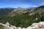
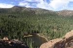
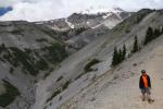
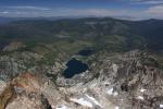
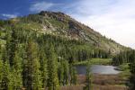
Sierra Buttes view of Packer Lake basin.
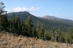
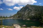
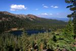
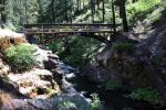
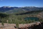
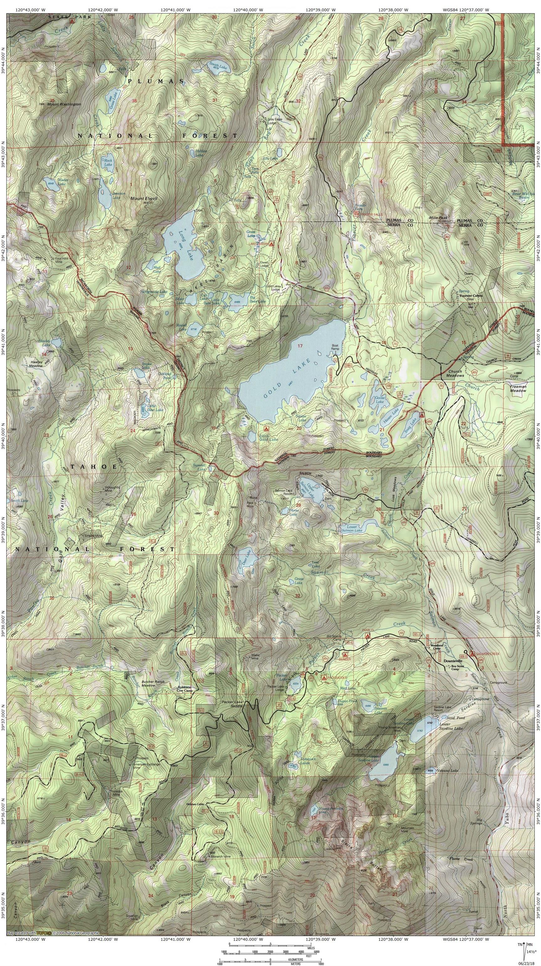
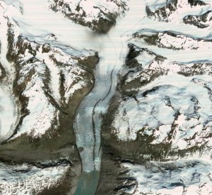
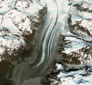
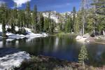
The Lakes Basin area is situated on the divide between the Middle Fork of the Feather River and the North Fork of the Yuba River. Strictly speaking, the Lakes Basin proper lies at the northern end of this glaciated area, focused on the basin containing Long Lake. However, the area is geologically cohesive and glaciation and lakes abound, making the name Lakes Basin appropriate to the whole area. In total, there are 6 primary lakes basins here. From north to south, these are the Jamison, Lakes Basin (proper), Gold Lake, Salmon Lake, Packer Lake and the Sardine Lake basins. Worth noting, the Lakes Basin proper, which is around Long Lake, is the centerpiece of the Lakes Basin Recreation Area, which has several improvements including multiple trailheads, and campground and a good trail network. It is this specific area that lends its name to the whole region.

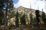
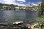
Mount Elwell looms above Long Lake.
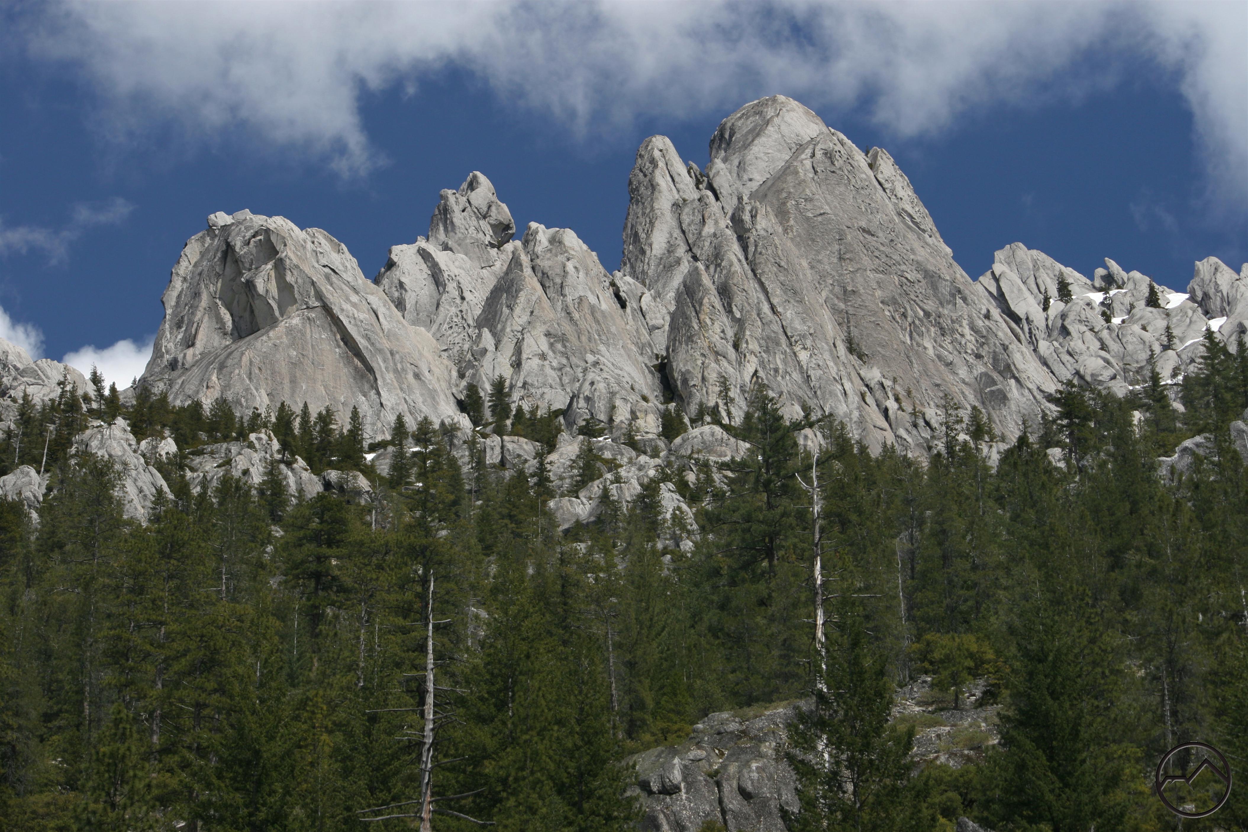
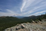
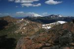
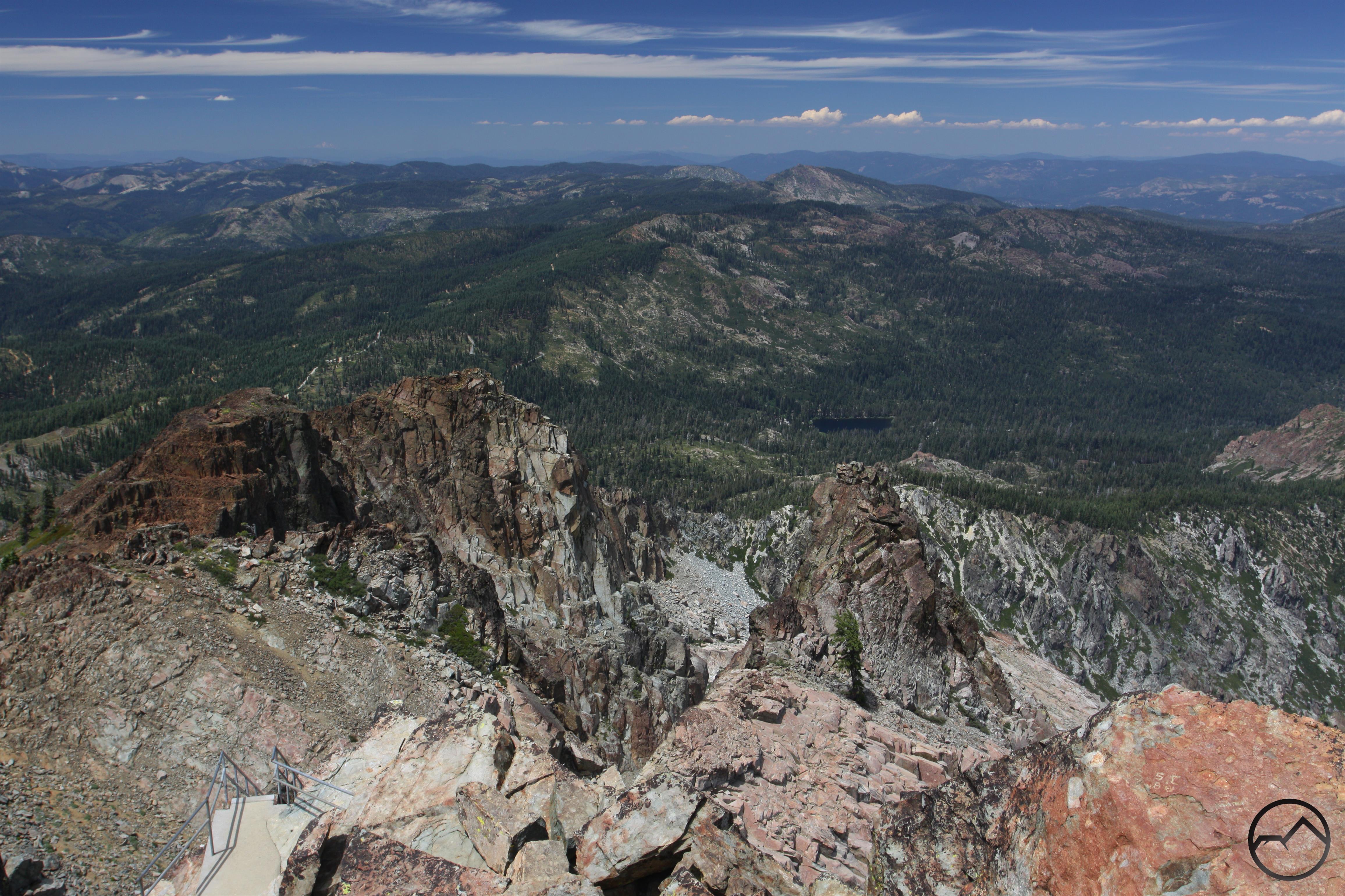
Despite the extensive glacial activity that occurred in this area and the proliferation of steep cliffs above the lakes, there are only a couple of particularly notable peaks in the Lakes Basin area. In the north, rising above Long Lake and the Lakes Basin proper is Mount Elwell. At 7,818, it is one of the tallest peaks in this part of the Sierra Nevada. However, it is the massive Sierra Buttes, anchoring the southern end of the Lakes Basin area, that really stands out. Soaring to majestic 8,587, this spectacular collection of peaks, cliffs and spires is easily the most magnificent mountain between Lassen Peak and the Desolation Wilderness, adjacent to Lake Tahoe.

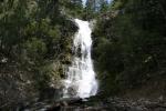
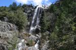
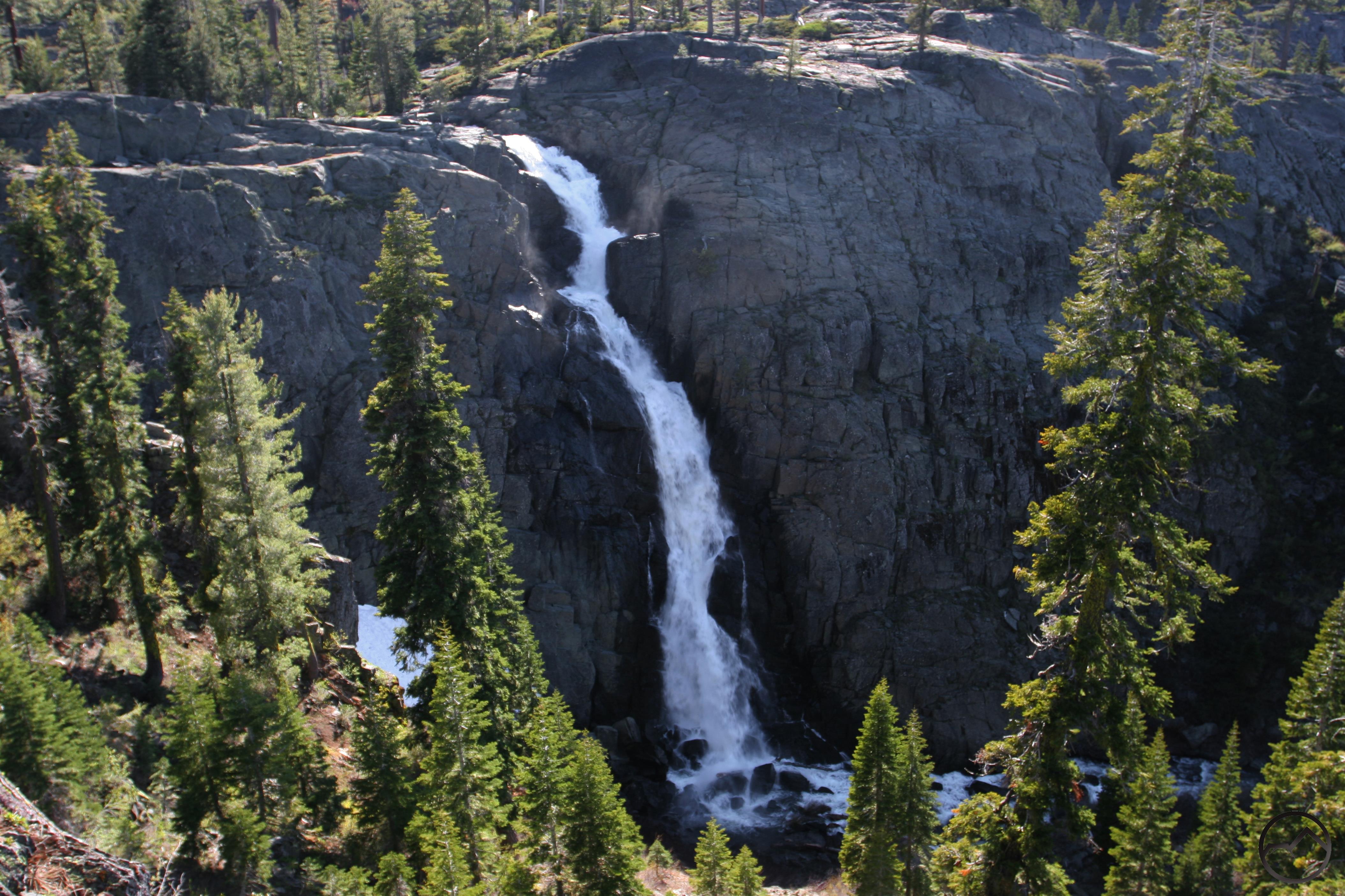
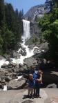
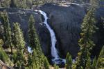
Frazier Falls
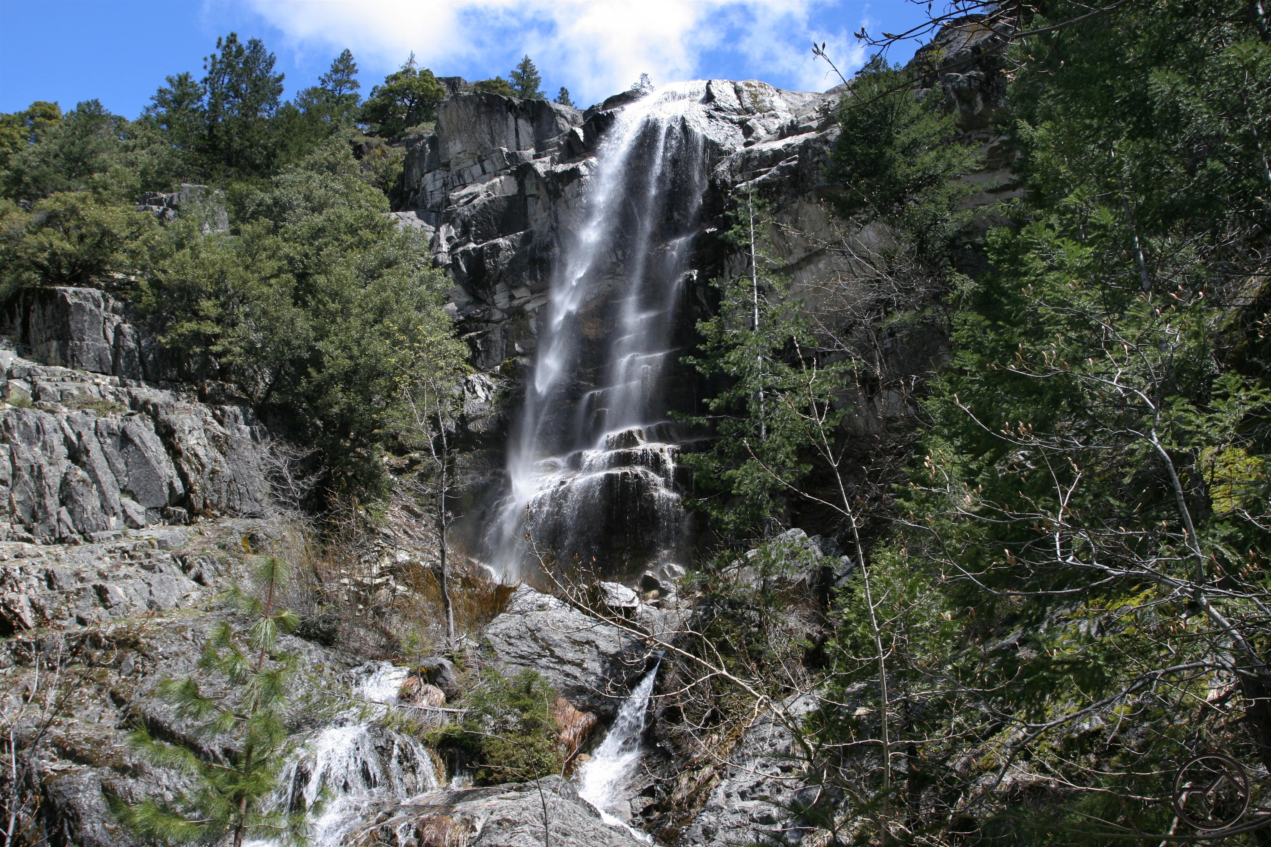
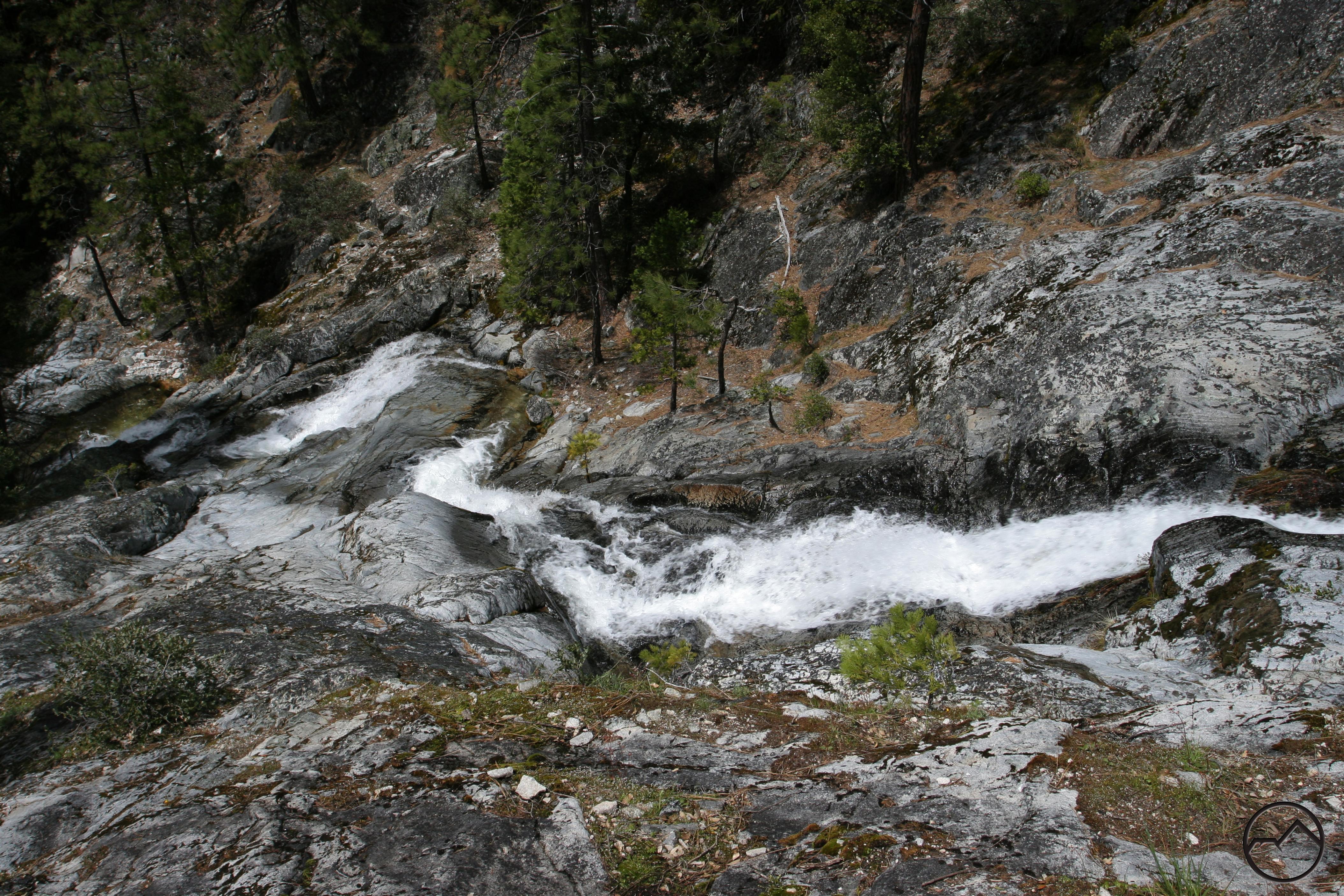
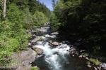
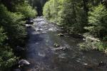
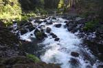
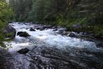
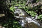
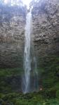
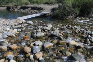
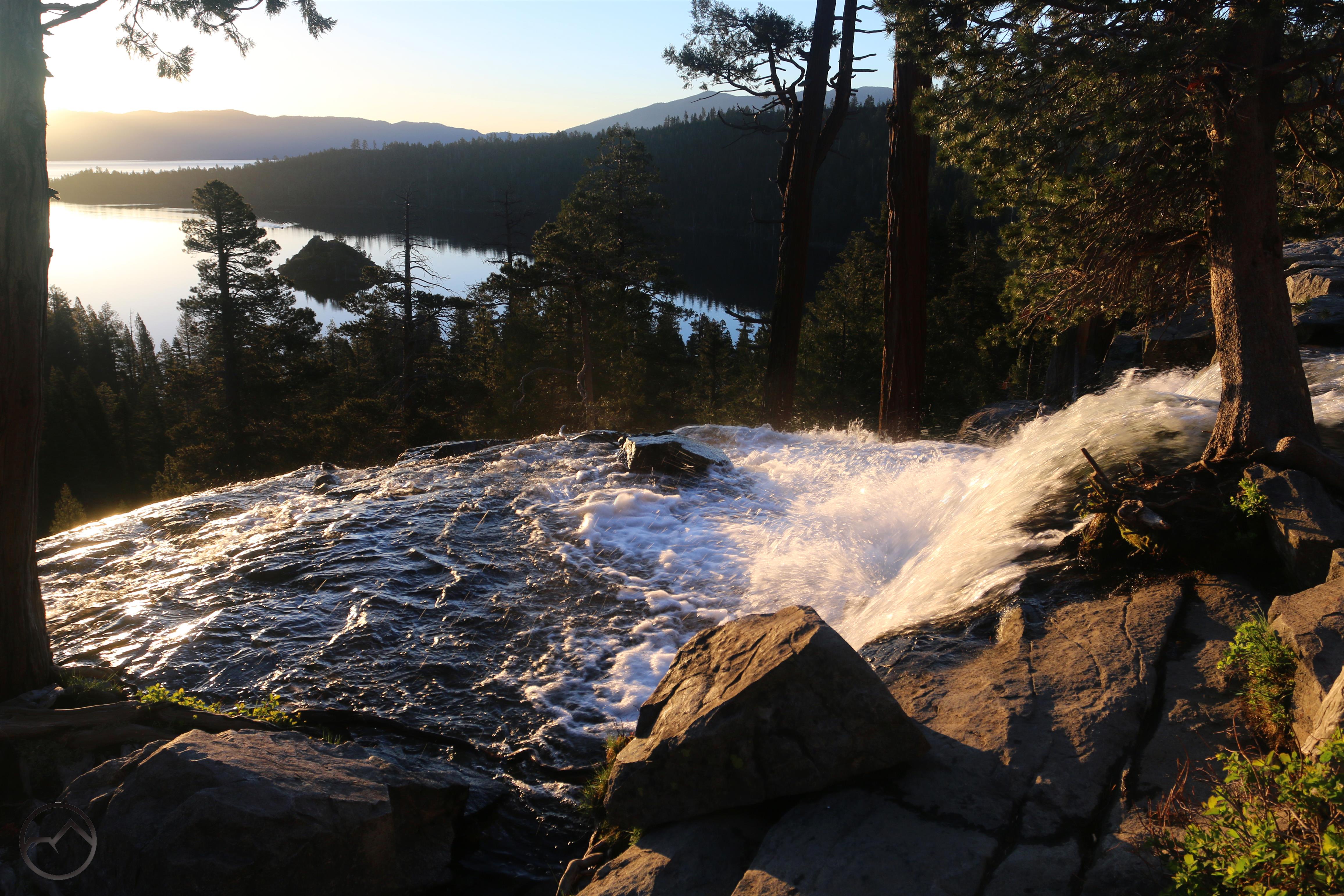
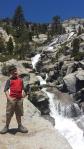
Not only are there plenty of lakes and some rugged topography, there are also some excellent waterfalls to be found in the Lakes Basin area. There are several attractive cataracts on Gray Eagle Creek, many of which are accessed as part of the trail network that rings Long Lake. Some quality cascades are also to be found at the Sierra Buttes, especially between the Sardine Lakes. However, the most notable waterfall in the Lakes Basin area is Frazier Falls. Dropping 175 in a succession of vertical cascades, it is one of the tallest waterfalls in the entire northern Sierra. The falls are accessed by an easy 0.5 mile trail.

Upper Tamarack Lake, a great OHV destination.
As noted, the Lakes Basin area is a fantastic area for a whole host of outdoor activities. The lakes offer fantastic paddling opportunities while old mining roads provide some great routes for OHV enthusiasts. Mountain biking is increasingly popular area, especially the southern end by the Sierra Buttes. Here shuttles will drop bikers off at the top of the ridge just north of the Sierra Buttes and they can then descend a series of trails and dirt roads all the way down to Downieville, as descent of over 4,000 feet. Also worth noting is the presence of the Pacific Crest Trail, which traverses the entire area along the crest of the ridge. For the most part the PCT does not access any of the lakes and is used primarily by thru-hikers rather than by hikers accessing the lakes.

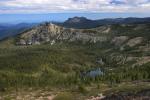
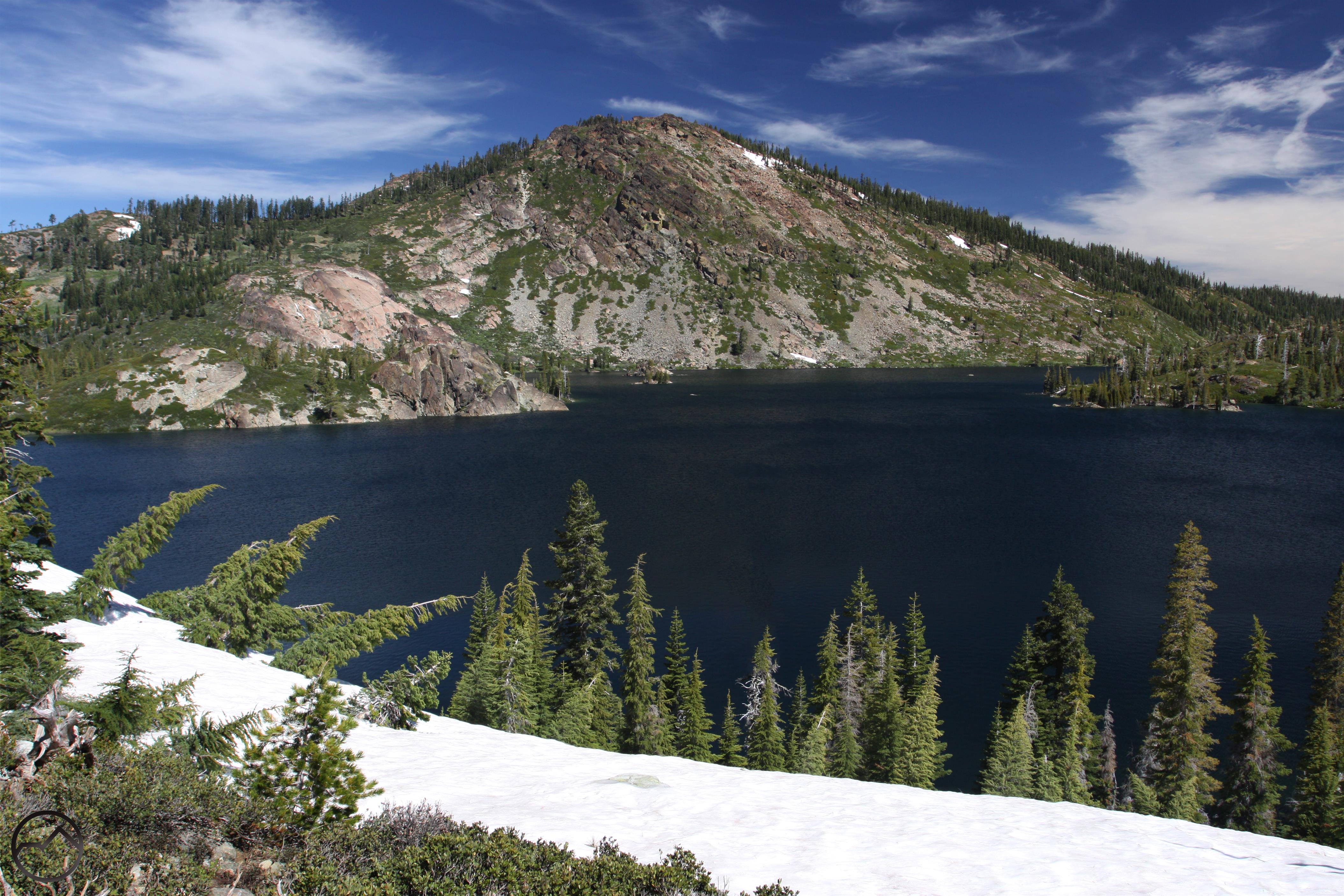
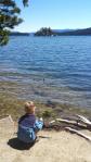
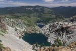
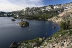
Young America Lake and the Sardine Lakes
Despite all the other activities, it is the hiking trails that offer the best way to explore the Lakes Basin area. The Salmon and Jamison Lakes basins have great, scenic trails winding through them and are good destinations for hikers. However, it is the Sierra Buttes area and the Lakes Basin Recreation Area that really commands the attention of those looking to get on the trail. The former, located in the south, features a long, epic hike to the top of the Sierra Buttes where a marvelously exposed fire lookout stands at the edge of the void. This is a classic Sierra Nevada hike, akin to famous hikes like climbing Half Dome. At the north end of the area is the Lakes Basin Recreation Area. This has the most well-developed trail network, which access all the lakes in the basin as well as climbing to the summit of Mount Elwell and connecting to the Jamison Lake basin.
With its great trails and gorgeous scenery, the Lakes Basin area is a fantastic destination for hikers. While it is not an unknown destination, it sees far, far fewer visitors than the Lake Tahoe or other Sierra Nevada destinations further south. Of those who do come to the Lakes Basin area, a significant portion are there to paddle, bike or fish, leaving the trails with that many fewer people on them. Despite this, there are ample campgrounds and even a few lodges, making the area easy logistically.
For those who do make the trip, the lovely lakes and the soaring towers of the Sierra Buttes are unforgettable.
Lakes Basin area gallery (click to enlarge):
-
-
Sierra Buttes above Lower Sardine Lake.
-
-
The Sierra Buttes.
-
-
Upper Tamarack Lake, a great OHV destination.
-
-
Young America Lake and the Sardine Lakes
-
-
Sardine Lakes
-
-
Sierra Buttes view of Packer Lake basin.
-
-
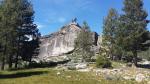
Looking toward the summit lookout tower on the Sierra Buttes.
-
-
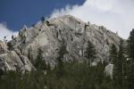
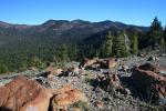
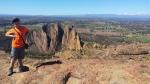
Lakes Basin rock formations.
-
-
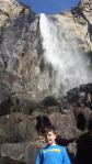
Frazier Falls
-
-
Long Lake
-
-
Mount Elwell above Long Lake.
-
-
Mud Lake basin
-
-
Mud Lake and Mount Elwell.
-
-
Helgrammite Lake
-
-
Silver Lake
-
-
Big Bear Lake
-
-
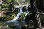
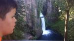
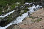
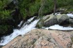
Falls on Gray Eagle Creek.
-
-
Falls on Gray Eagle Creek.