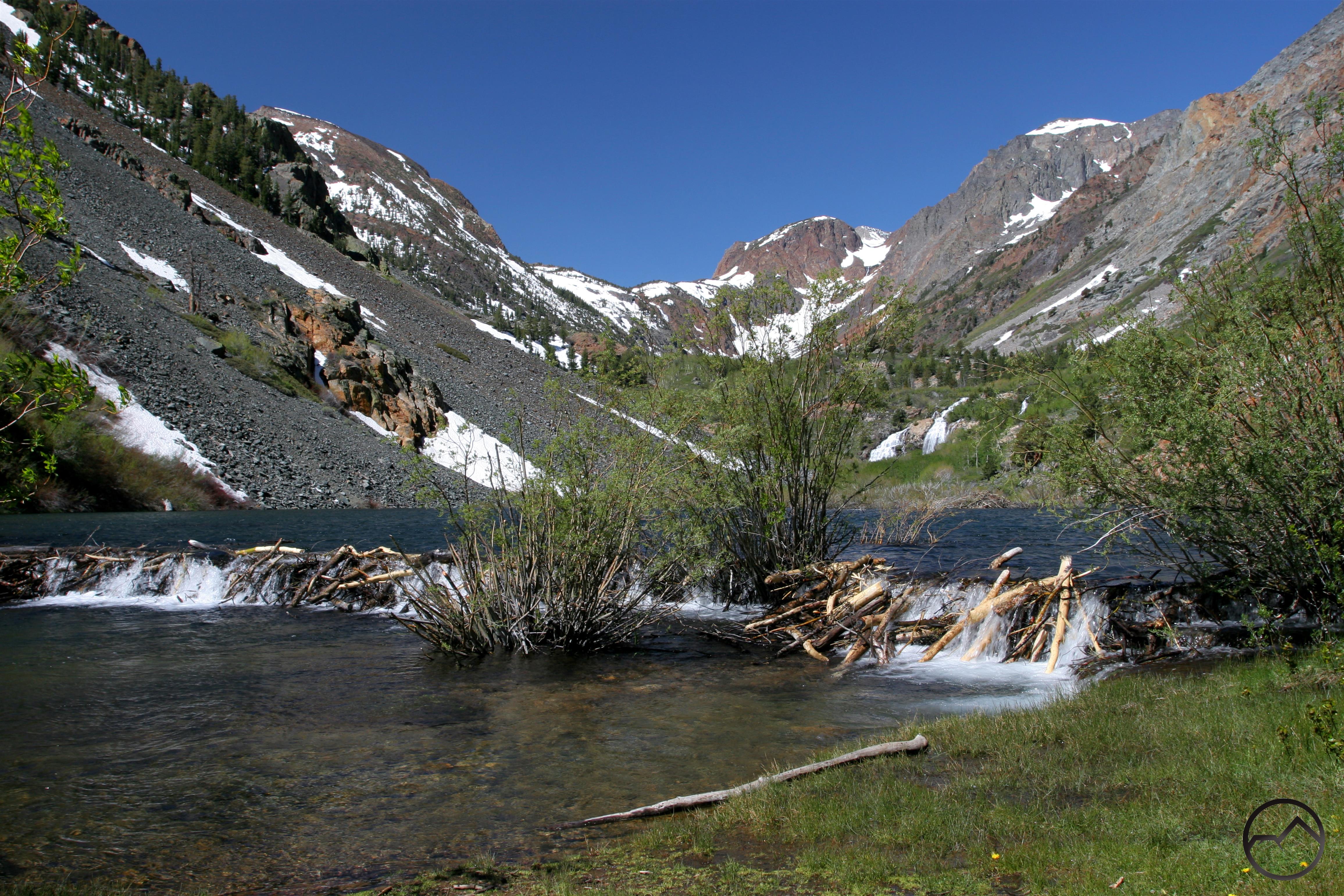
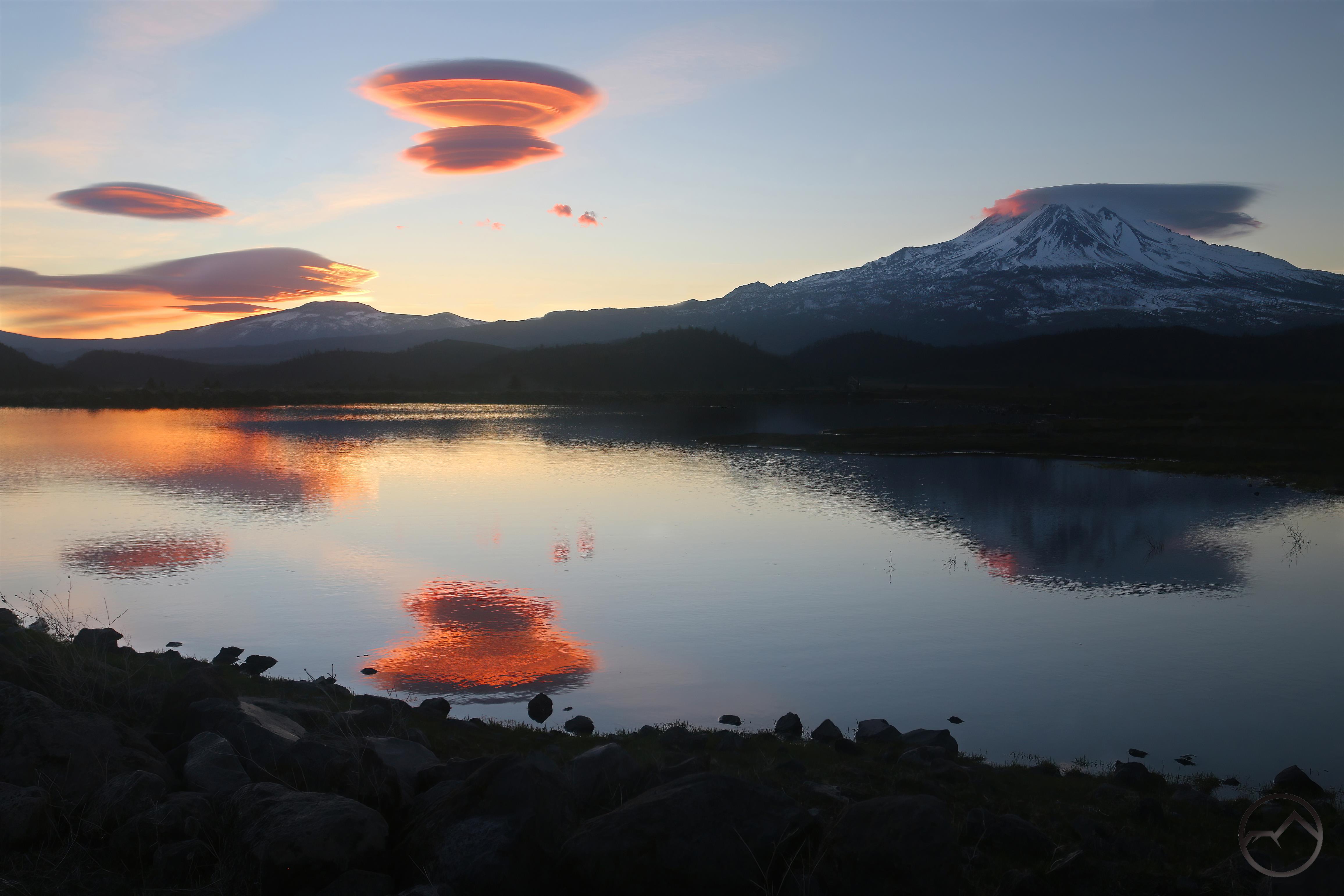
The large beaver pond at the start of the Lundy Canyon trail gives hints of grandeur to come.
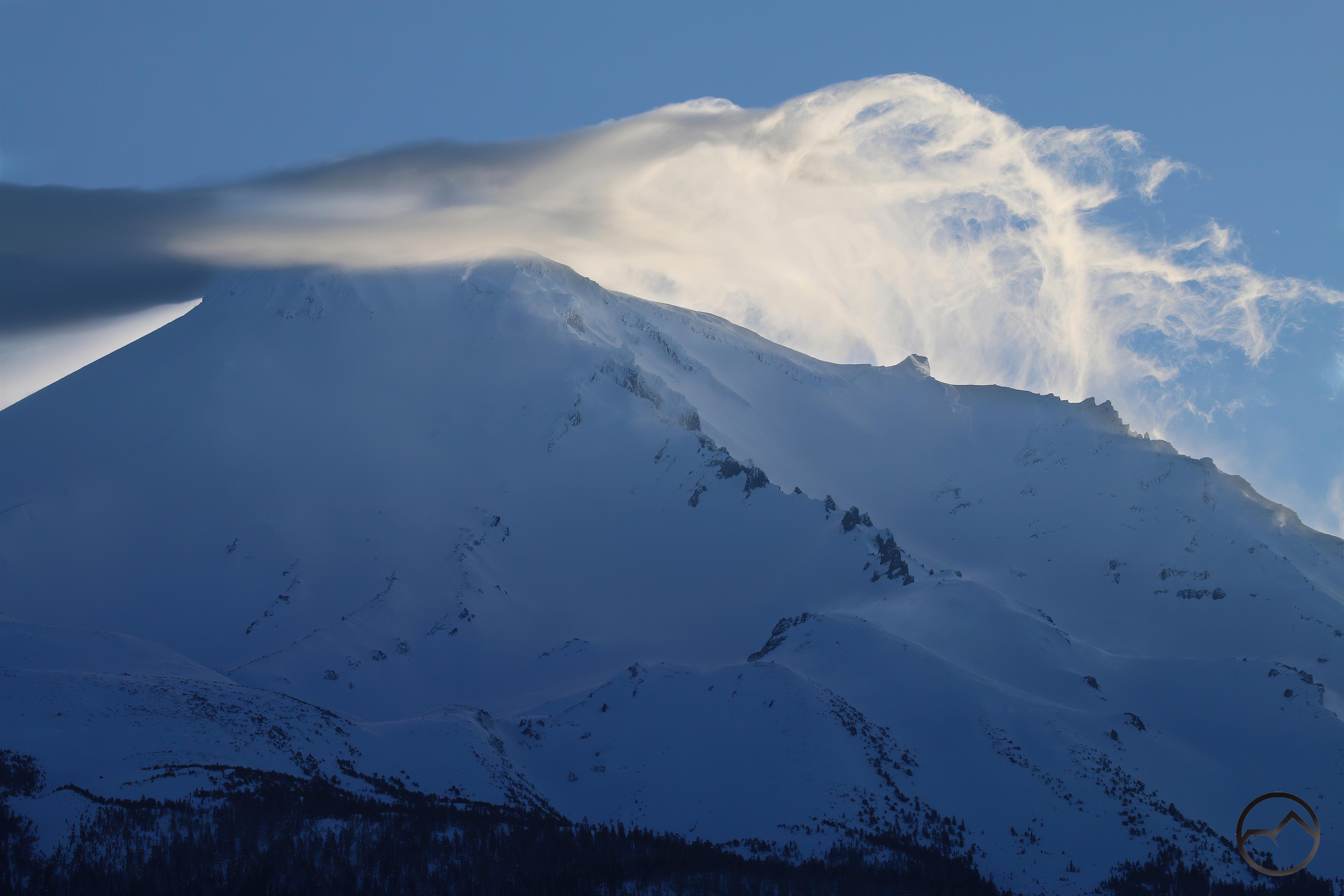
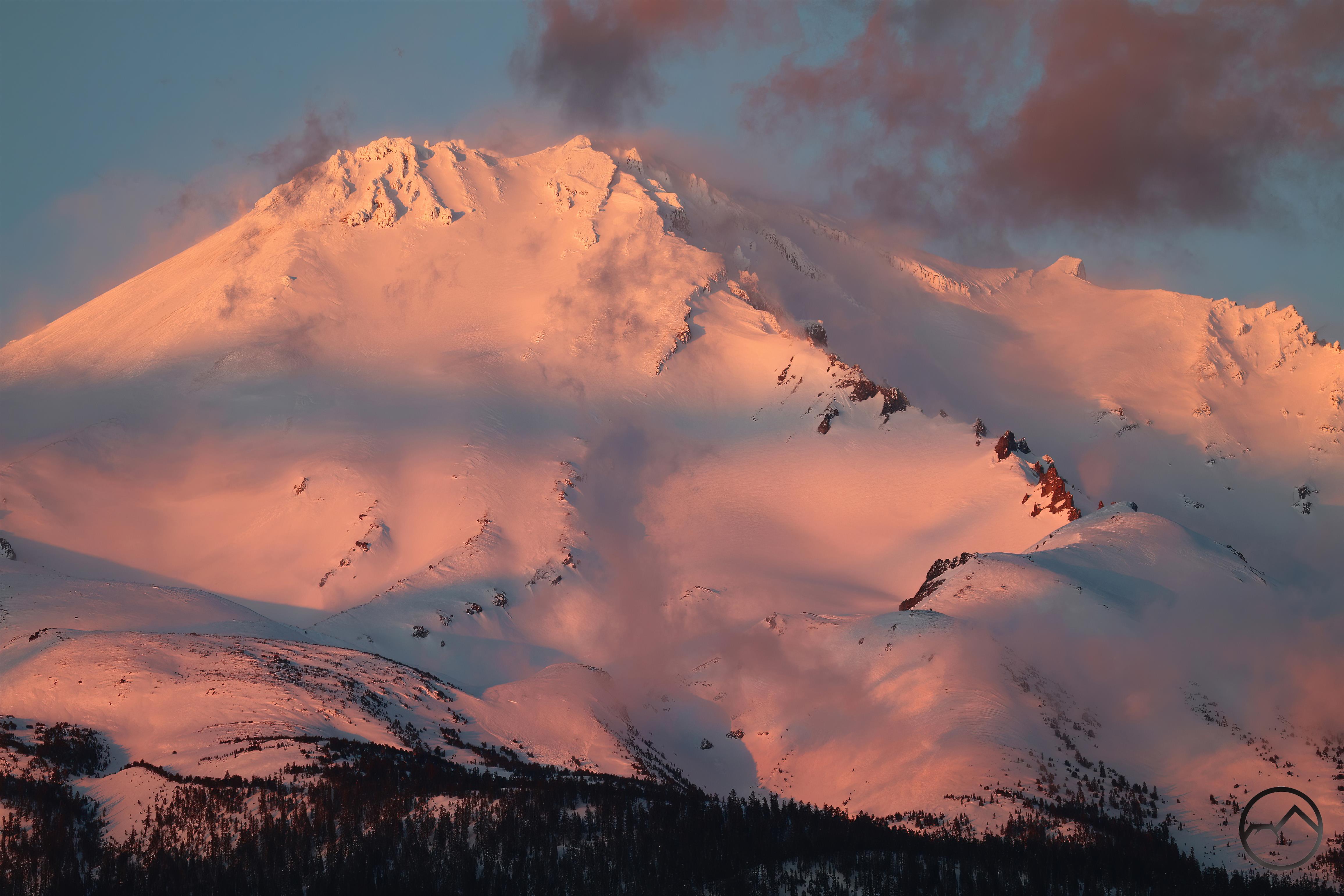
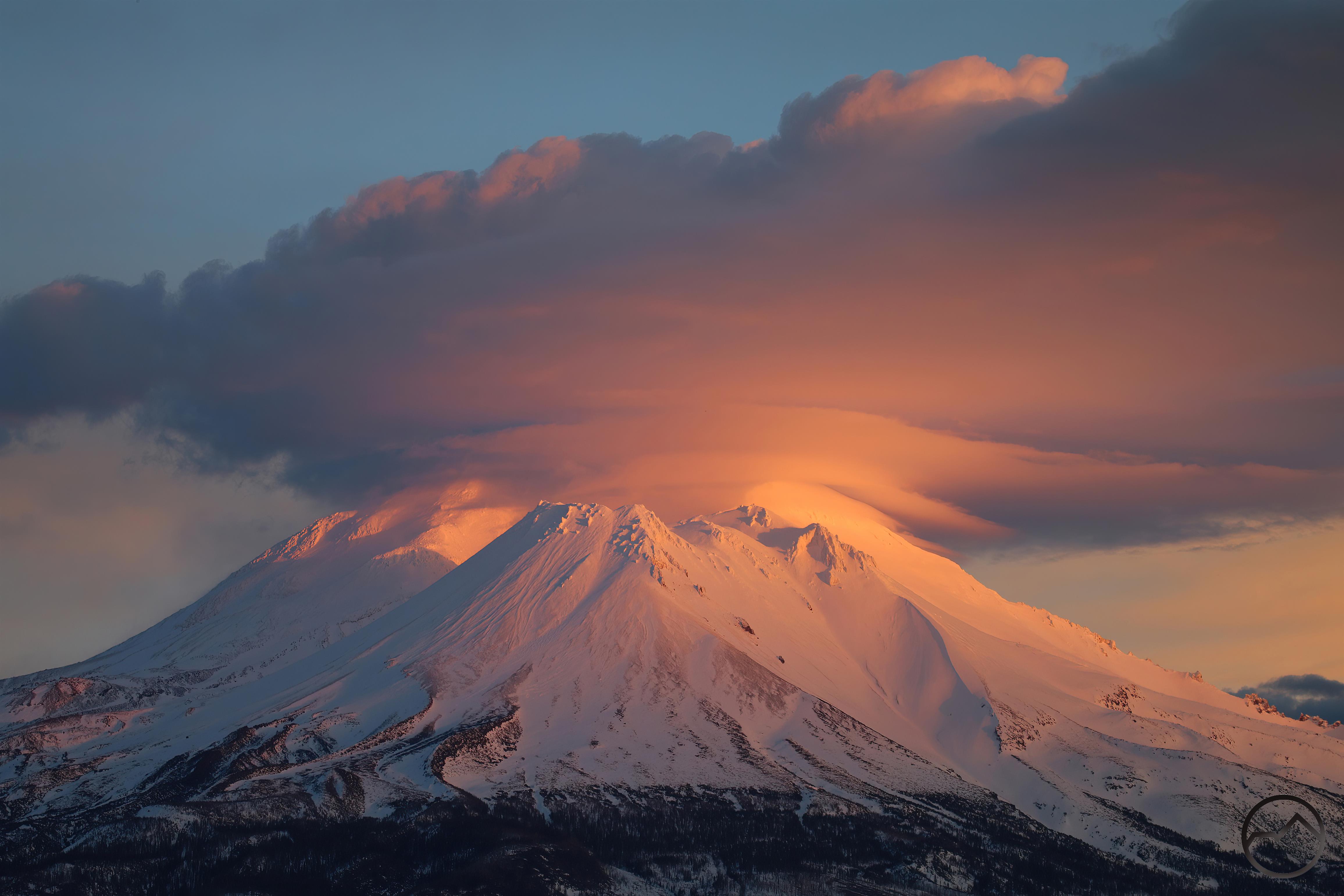
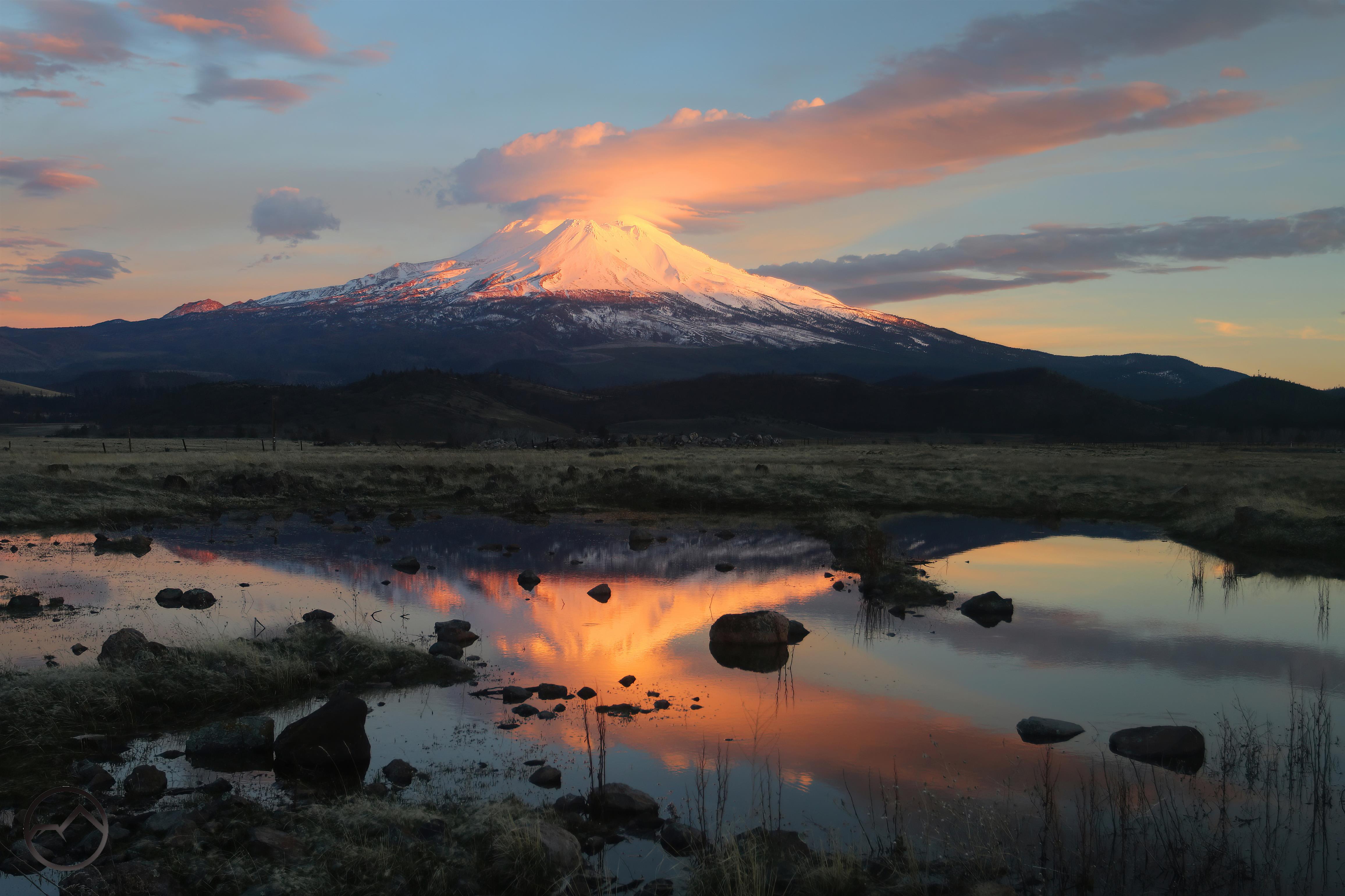
This is a bit of an off topic post for a site focused on the Mount Shasta area but I have hand long established precedent of writing about…wherever interests me. The Sierra Nevada certainly interests me (as it should any hiker) and this has a personal element to it as well. That said, I appreciate the indulgence.
If you were to ask me 20 years ago to enumerate a top 10 list of hikes in California, the list would absolutely include the hike through Lundy Canyon up into the 20 Lakes Basin.
In my opinion, few hikes can match the fullness of attributes that made this hike the greater sum of the parts. Beginning at a series of beaver ponds, the trail winds through wildflower choked and the many-hued cliffs of Lundy Canyon. Entirely within the terrific Hoover Wilderness, the path parallels Mill Creek, which crashes over a series of large waterfalls. Eventually the trail turned south and made a long series of switchbacks up the side of the canyon, climbing alongside a waterfall plunging hundreds of feet down the cliffs. Eventually reaching the top of the canyon, the trail leveled off, left the artist’s palette of many colored rocks and made a loop through the granite wonderland of the 20 Lakes Basin. While visiting half the namesake lakes of the the basin, hikers are perpetually treated to views of lordly Mount Conness and the serrate visage of towering North Peak. Then, completing the loop, it’s back down into Lundy Canyon soaking up incredible vistas the entire way.
-

-
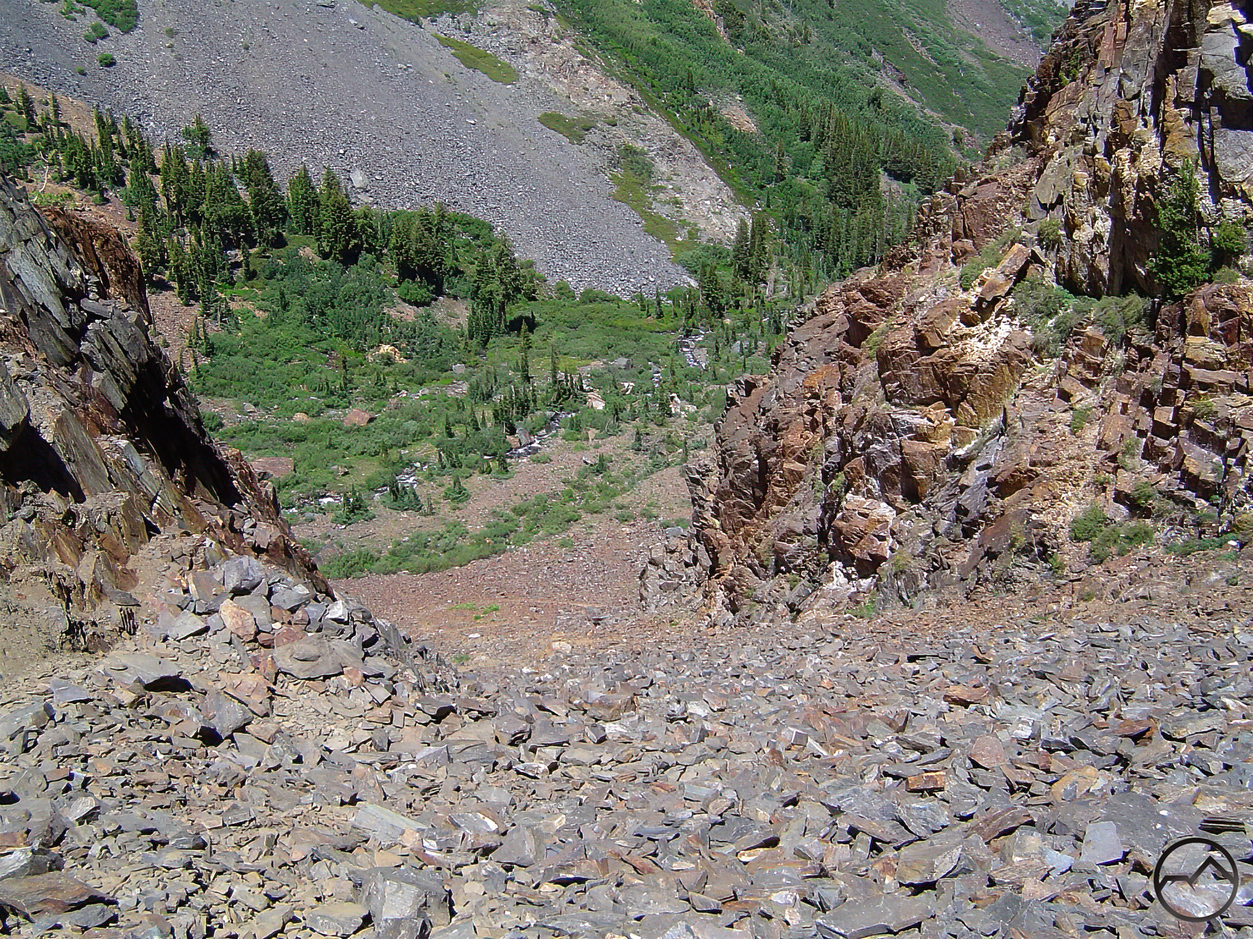
Pre-rockslide
-

-
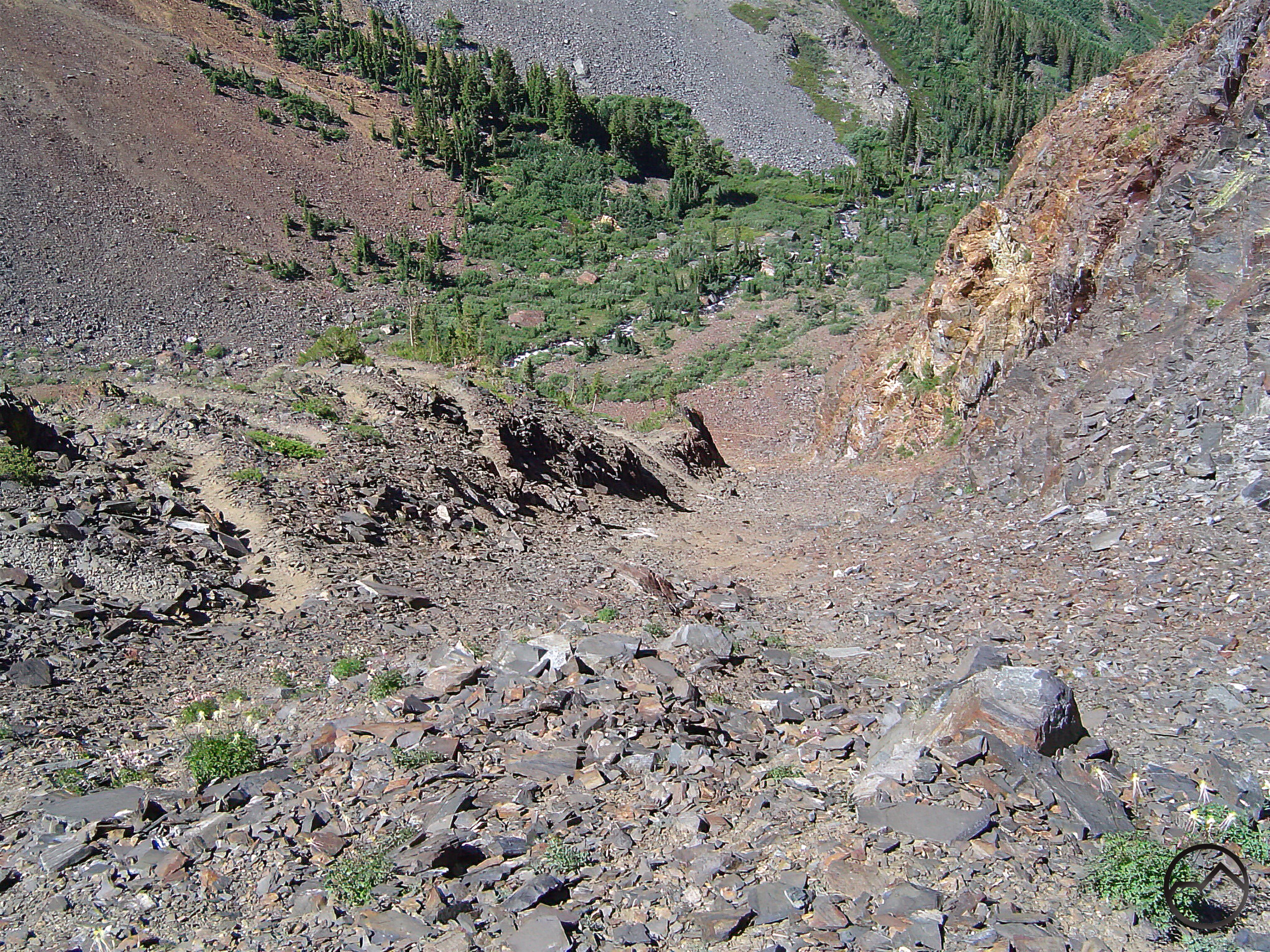
Post-rockslide
It may be noted that the past tense is used in describing this route. This is because the connecting trail that ascended the talus clinging to the cliffs of Lundy Canyon was, sadly, wiped out by a rock slide sometime around 2005 or 2006. The trail, though utterly spectacular was likely built originally by 19th century miners (probably). Though it was well built, it was never a properly engineered trail. Once it was ruined, the unstable talus does not seem like a strong candidate for the Forest Service to build a proper path. Consequently, the once grand hike is now sundered and two hikes exist where a single mind-blowing hike once delighted hikers.
I bring all this up because the last time I made the complete hike was in the summer of 2004. I had recently gotten my first digital camera and while making the ascent out of Lundy Canyon, I used the video feature to capture footage of the awesome waterfall that hurtles off the cliffs and falls within feet of the ascending trail. I had long-ago lost track of this footage when retiring my older computers and it was not until this past week that I found the hard drive that contained. I was ecstatic to find it and other seemingly lost footage. Though the quality is not good, it gives a good sense of how magnificent the scenery on this hike was.
Hopefully the video conveys a sense of wonder and scale and the magnitude of landscape’s magnificence. It is difficult for me to express how stunning the whole vista is. The trail switchbacks up the talus chute and sections of bedrock while the creek is diving hundreds of feet down the cliff. One can feel the spray of the falls while hiking, feel the wind of the displaced air and marvel at the immense spectacle, which takes the sting out of the climb up to the 20 Lakes Basin.
While I am thrilled to find the video, I must confess a bit of melancholy to think that this iteration of the hike is no longer feasible without some rugged talus scrambling. This trail is missed.
It is perhaps fitting then to remember the glory of the hike though images. I consider this more of a wake than a eulogy, but in the end, the images speak for themselves…

The trail starts off almost overwhelmingly. After 0.25 miles of hiking through aspens, the path reaches an epic beaver dam that has impounded a mammoth beaver pond. It is fair to classify this as a beaver lake rather than a pond. This dam has been broken by flooding a few times but they keep coming back and reconstructing it. Note just right of center the twin waterfalls pouring into the far end of the pond. A large beaver lodge is visible just below the falls.
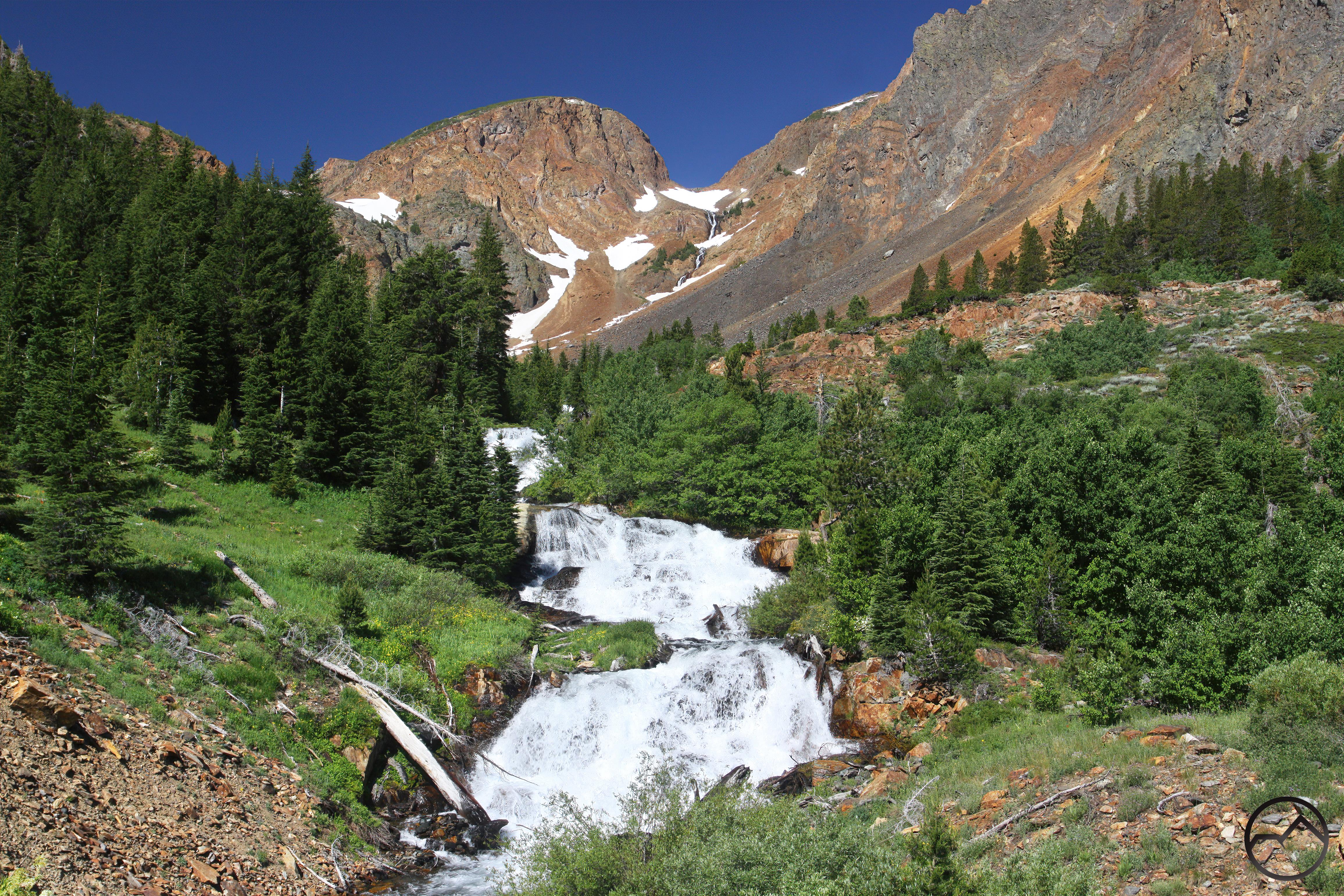
 Continuing past the first falls, the trail runs alongside Mill Creek as it flows over one cataract after another. The water makes a vigorous, frothy descent down the canyon. Framed by towering cliffs and flanked by meadows and wildflowers, it is paradise.

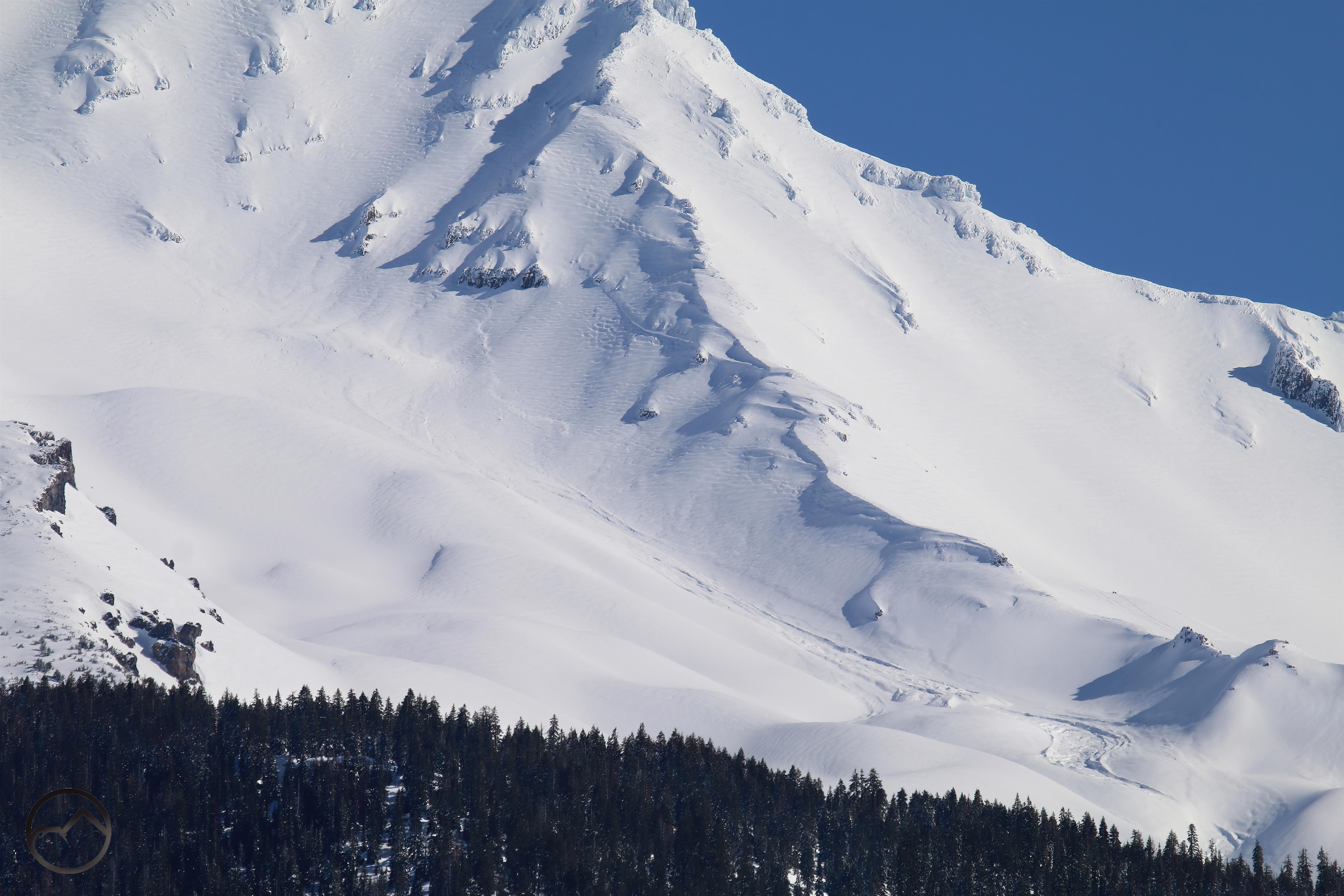
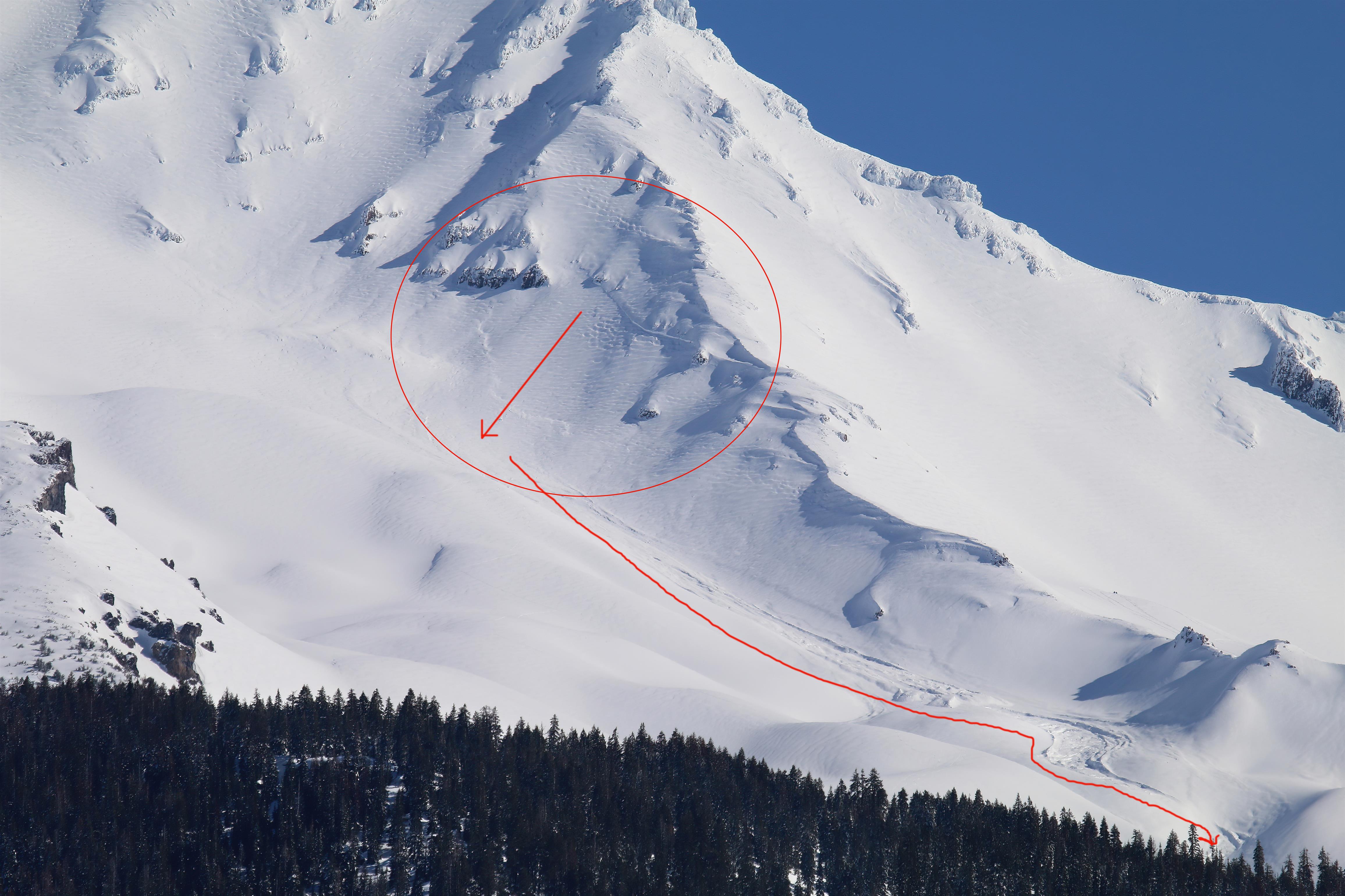
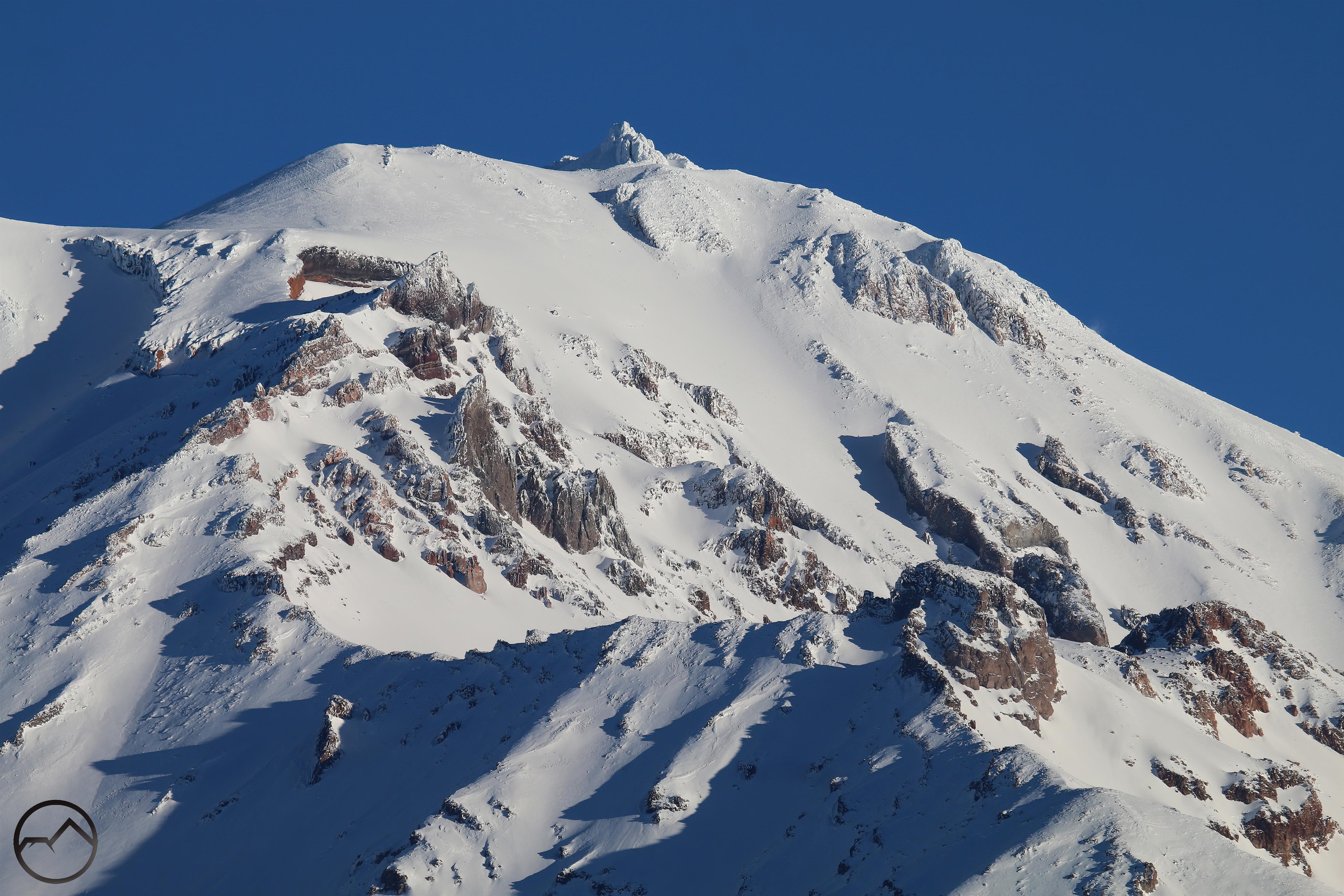
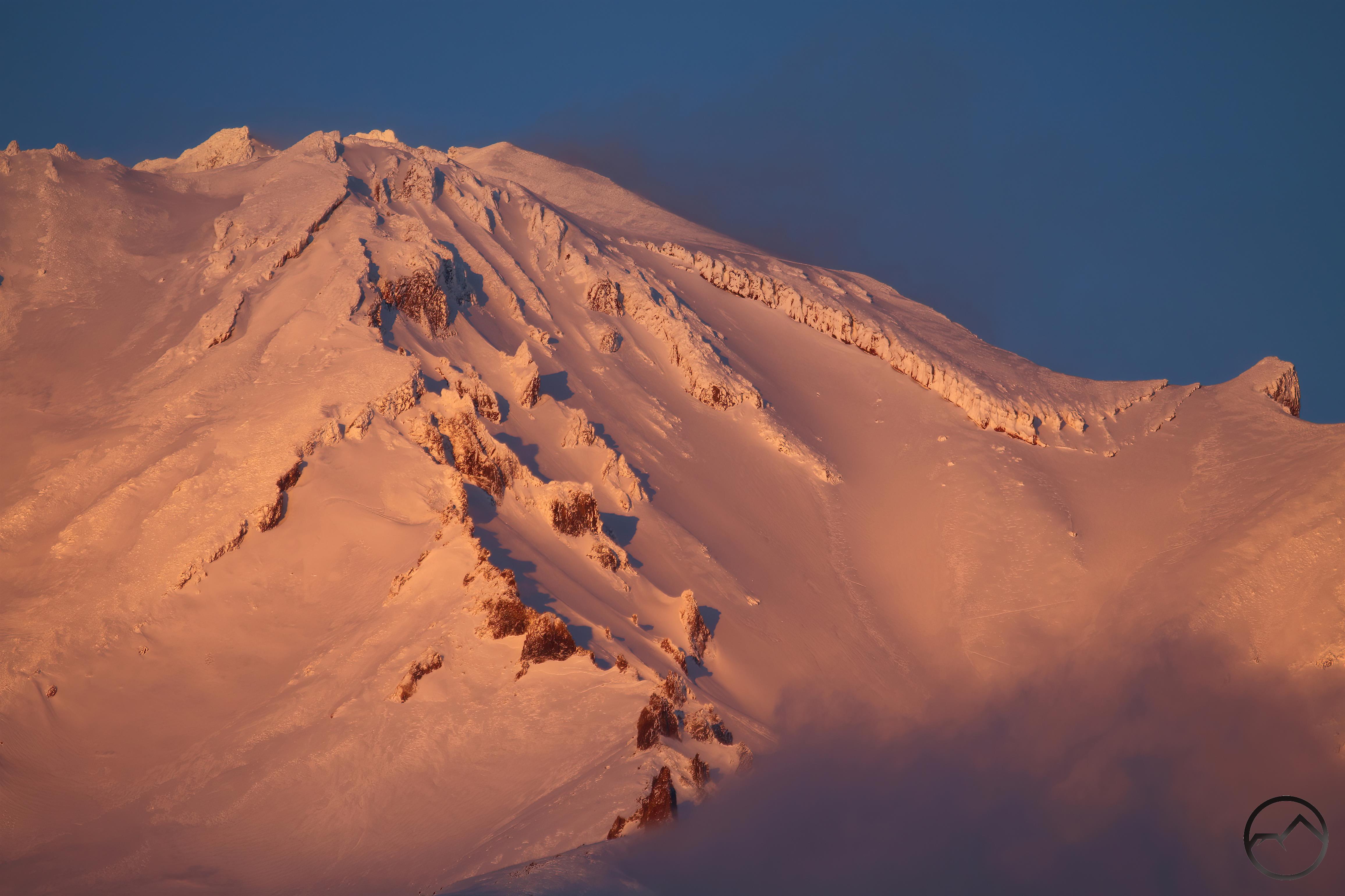
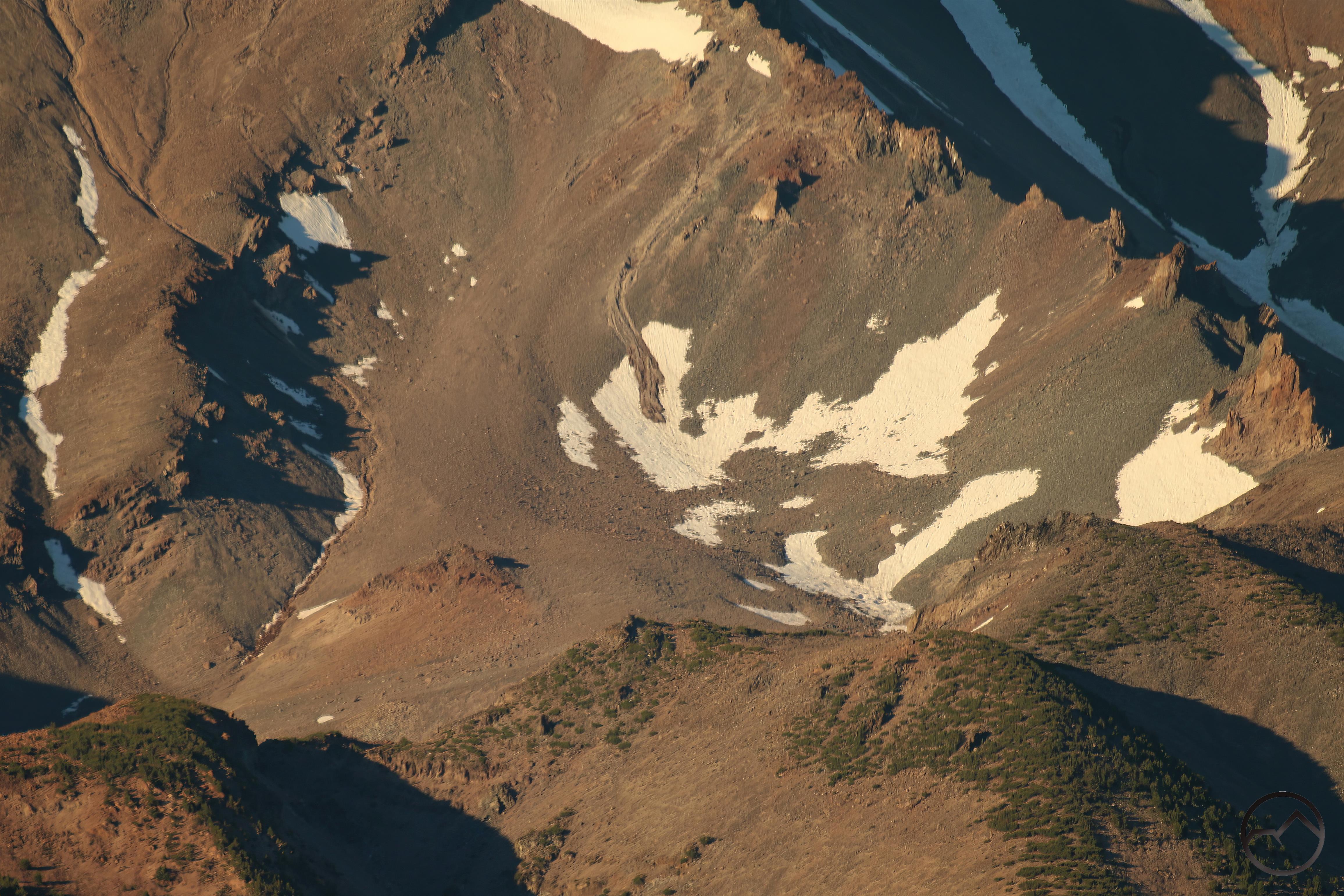
The trail eventually makes the ascent up the side of the canyon. The above image is taken halfway up, at the top of a series of switchbacks built into the talus slope. Though they are hard to discern here, there is indeed a path built out of the rock. This is the section that gave way and was lost.

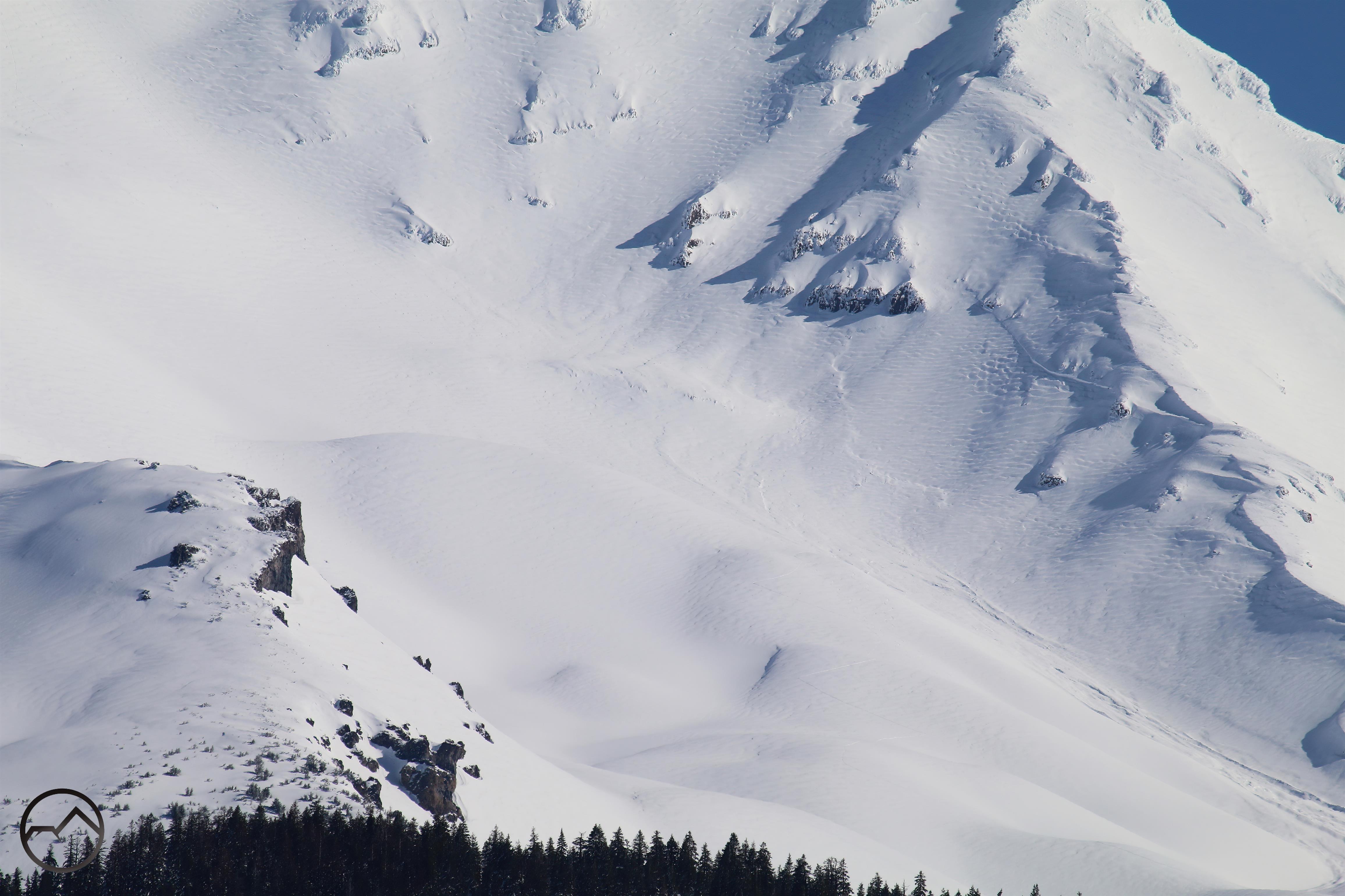
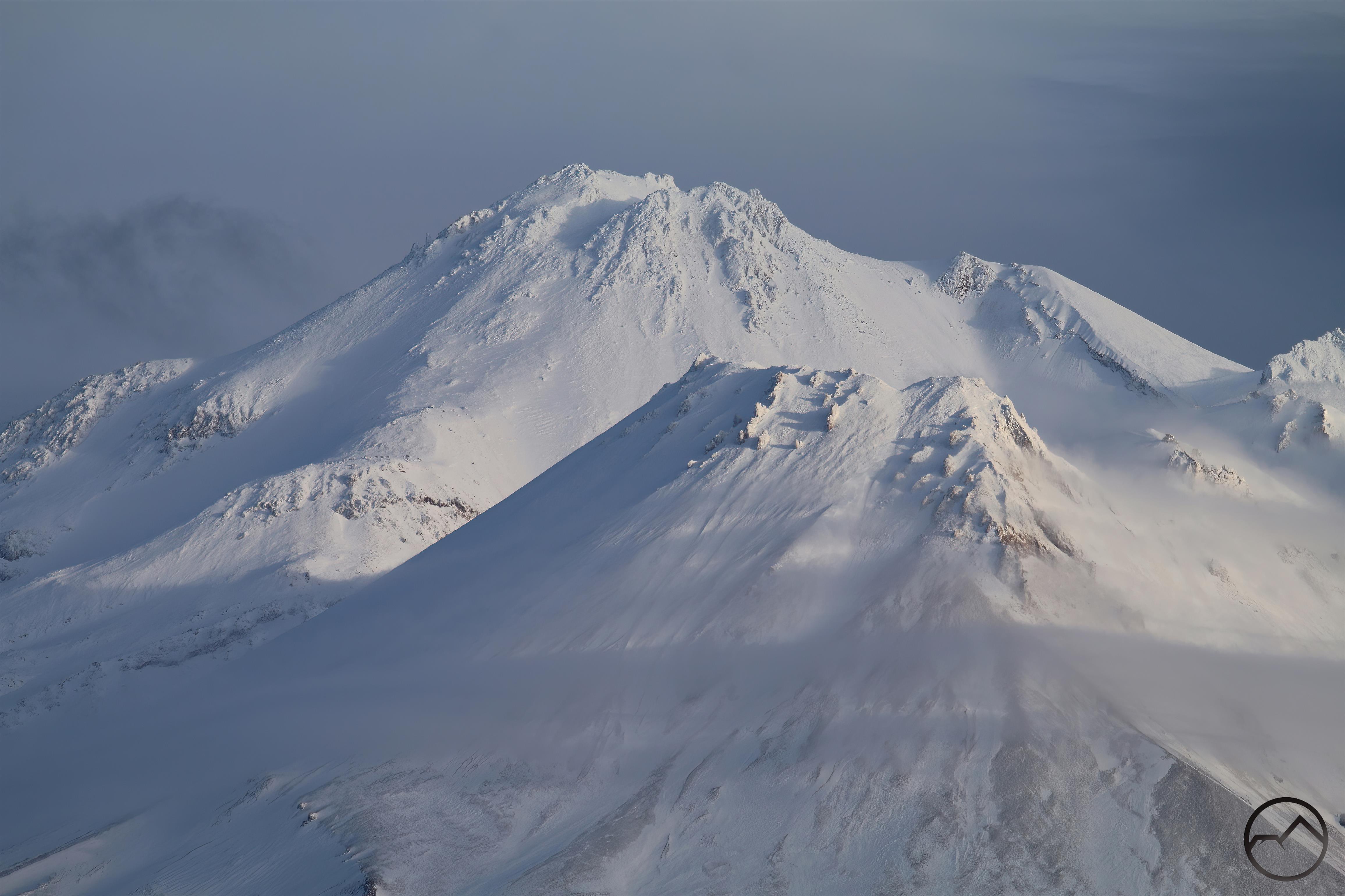
The above image is higher up, near the top of the ascent. This is looking down almost the entire distance climbed by the trail. Note the switchbacks built onto a rib of bedrock on the center left. This part of the trail is still extant and is the section that runs alongside the massive waterfall pouring out of the 20 Lakes Basin.

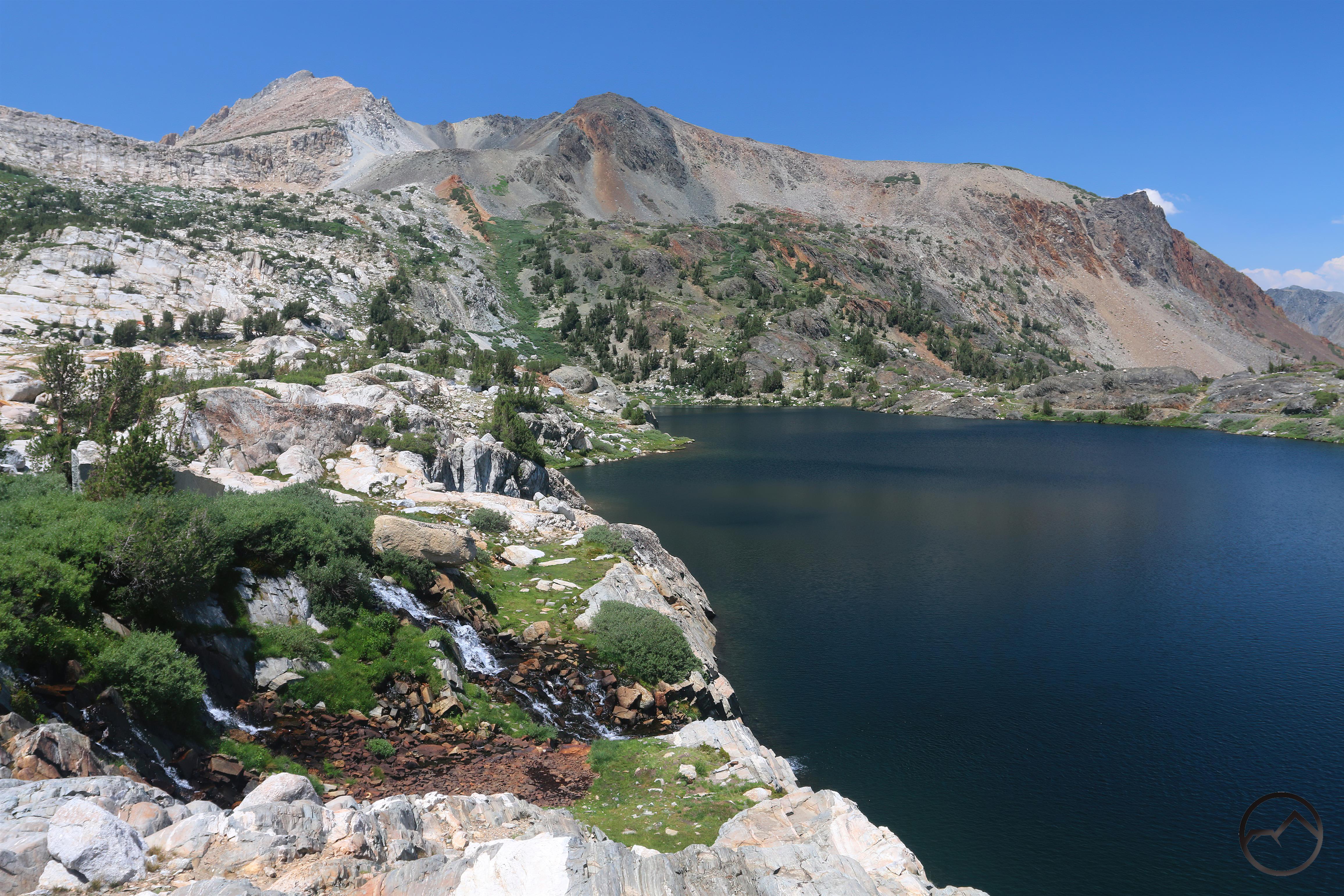
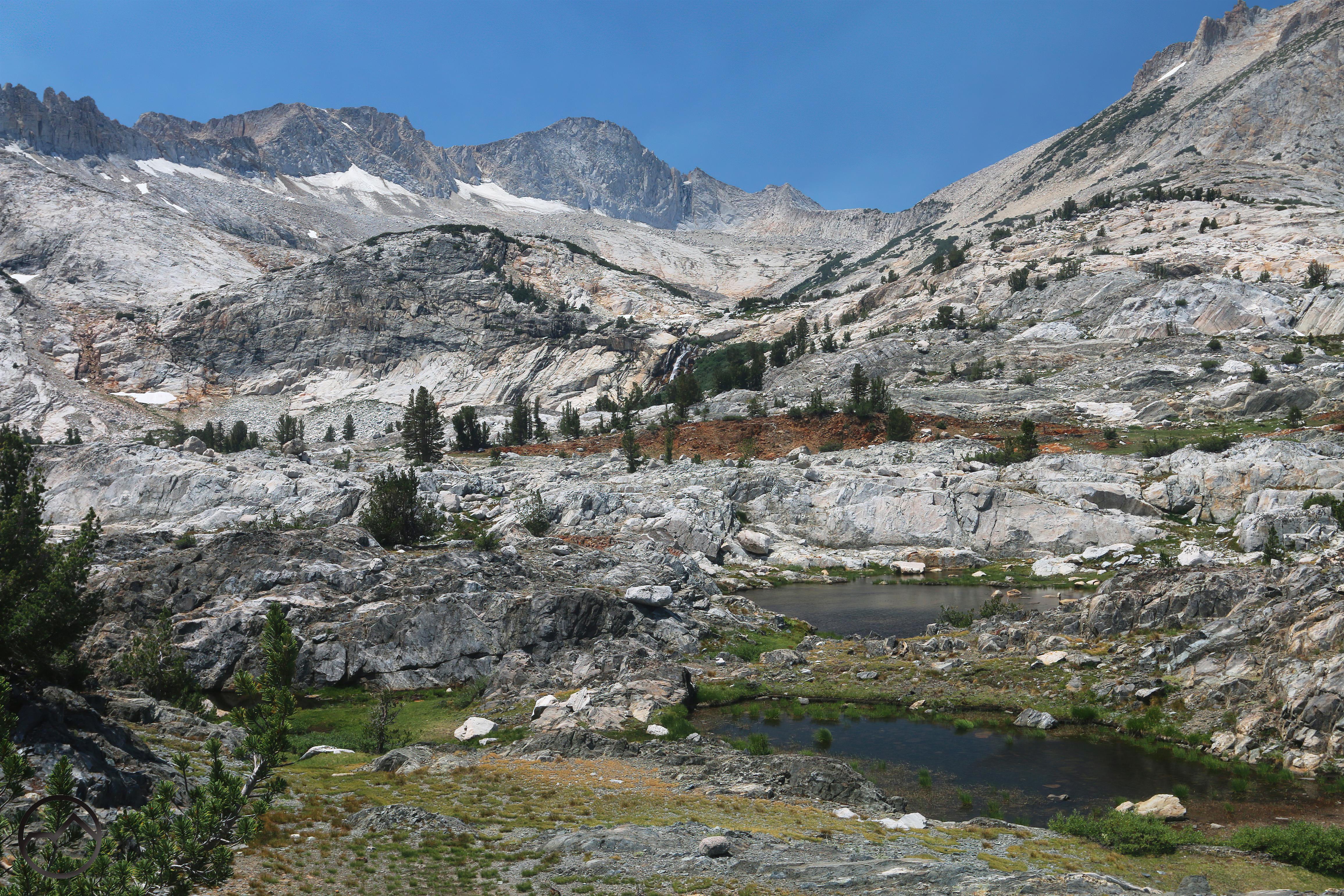
Once on top, the trail levels off and makes an incredible loop through the 20 Lakes Basin. Not only is there an abundance of lakes as one might guess, but there is an overabundance views of the northern end of the High Sierra. Located near treeline, the alpine vistas are rarely filtered by forests, but the loop offers ever changing perspectives and diverse geology. This (admittedly inferior) image, taken from Steelhead Lake, shows the transitions from the red sedimentary rocks on the far right to the gray metavolcanics in the center to the white granite on the left. It’s a stunning geologic mélange.

A highlight of the loop are the near constant views of stately Mount Conness. This may be the northernmost peak in the Sierra Nevada to exceed 12,500 feet (I did a quick survey, but nothing exhaustive). Graced by remnant glaciers and soaring granite cliffs, Conness is one of northern Yosemite’s most iconic peaks.

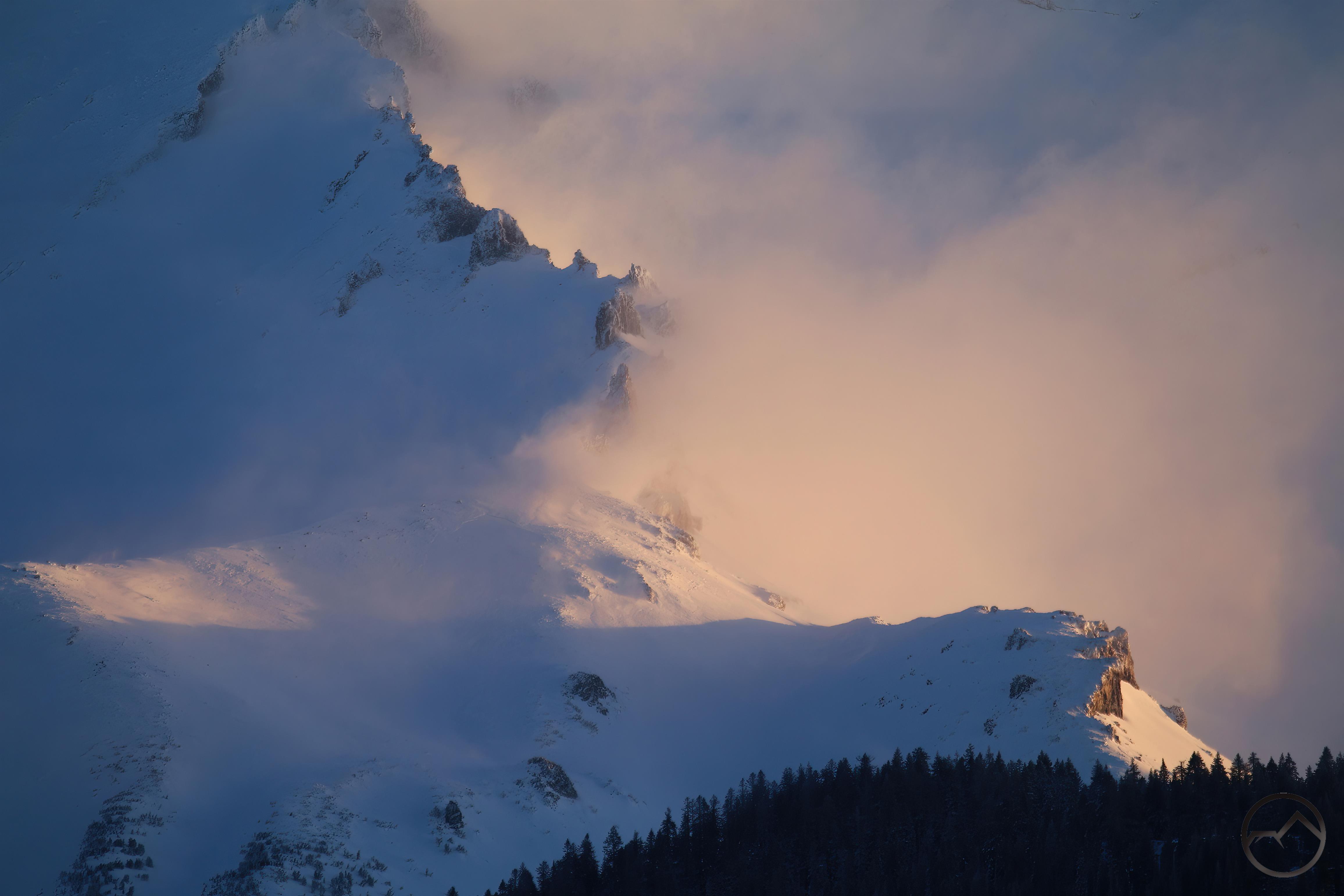
The rugged visage of jagged North Peak looms nearby, providing a thrilling backdrop to the loop through the 20 Lakes Basin. Though Mount Conness is more majestic, North Peak may have the more compelling appearance, with its awesome cliffs looming a seeming stone’s throw from the trail. Glacier fed cascades pour down the cliffs below the peak, filling the air with the sounds of crashing water.
From there it was all downhill back to the trailhead in Lundy Canyon.
There is still a lament the loss of the entire experience of connecting Lundy Canyon to the 20 Lakes Basin. Perhaps one of these days I will check out the old route and see how feasible an ascent may still be. Thankfully both areas remain accessible and each demands to be experienced, even if by other avenues (in the case of the 20 Lakes Basin).
I am grateful to have recovered the footage I had of the waterfall along the Lundy Canyon ascent. It is the sinew that connects two very different halves of a once great hike and was, in many ways, the highlight of the whole hike. Looking at all the parts, their blinding beauty, staggering scale and perfect arrangement, I am not sure what argument could be made that this did not belong in the uppermost tier of California hikes.