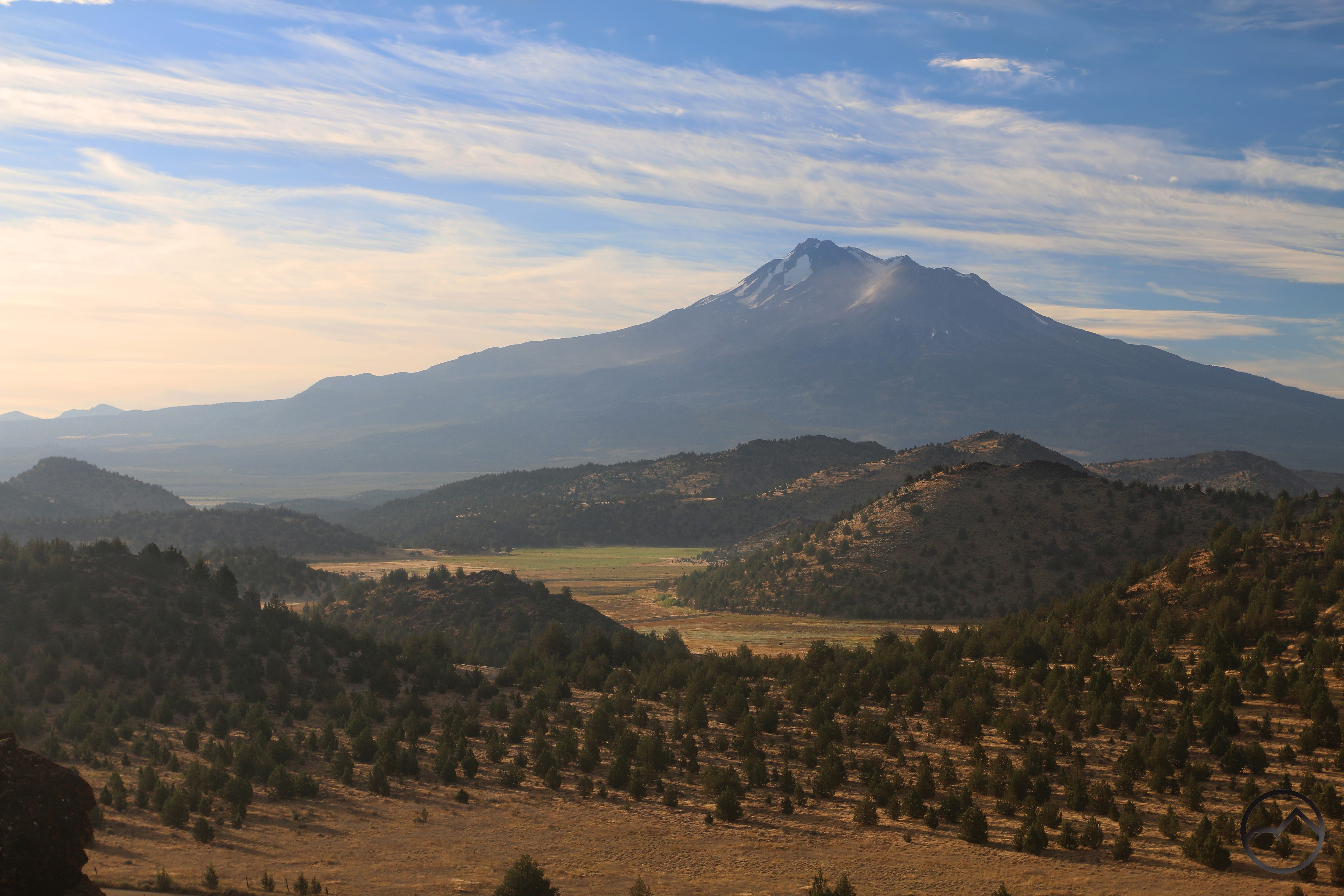
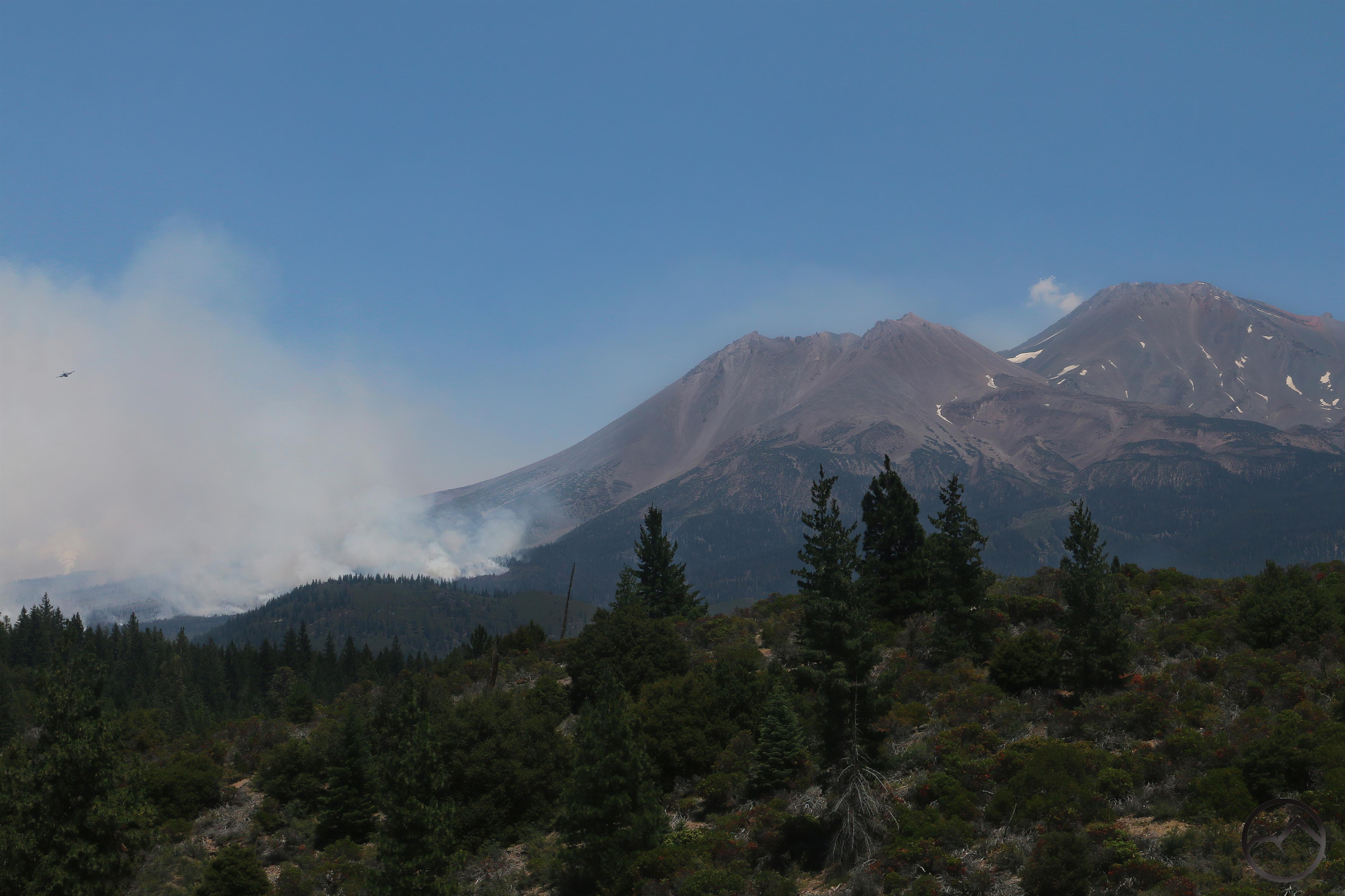
On June 25th, 2021, the Lava Fire began on the northwest corner of Mount Shasta. Though not large by current wildfire standards, it was the most recent catastrophic event in the history of a mountain formed of catastrophic events, a reminder that nature in general, and Mount Shasta in particular, is an entity that remains in flux. From our mortal perspective Mount Shasta may seem unchanging but whether the constantly falling rock in Mud Creek Canyon, the grinding of the ice under the Whitney Glacier or the the alteration of the landscape caused by the Lava Fire, the mountain belongs to Heraclitus and is never quite the same mountain twice. It has now been five years since the Lava Fire and that marks a good opportunity to remember the fire and observe how the recovery process is progressing.
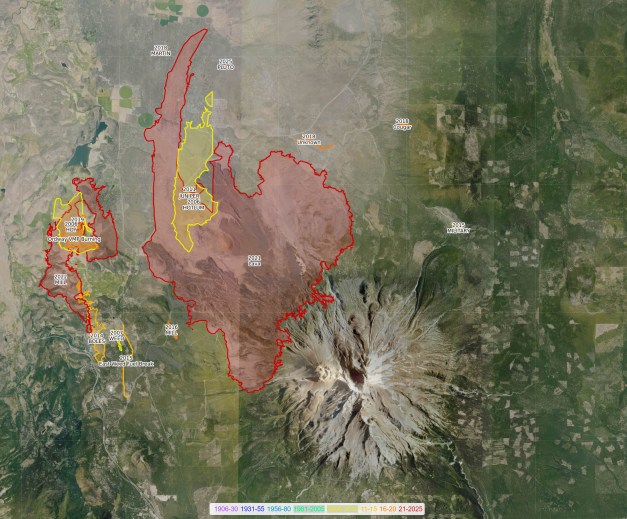
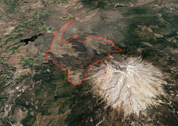
The fire began with a lightning strike near the town of Weed. It was allowed to smolder for a couple days. However, by the third day it had claimed over 1,500 acres. The next day it grew even more rapidly, incinerating over 13,000 acres and the next day burning another 10.000 on top of that, reaching close to 24,000 acres by that point. Though not officially contained, the rate of growth slowed considerably, with the fire claiming only 2,000 more acres over the next 2 months before the weather turned and finally put the conflagration out for good.
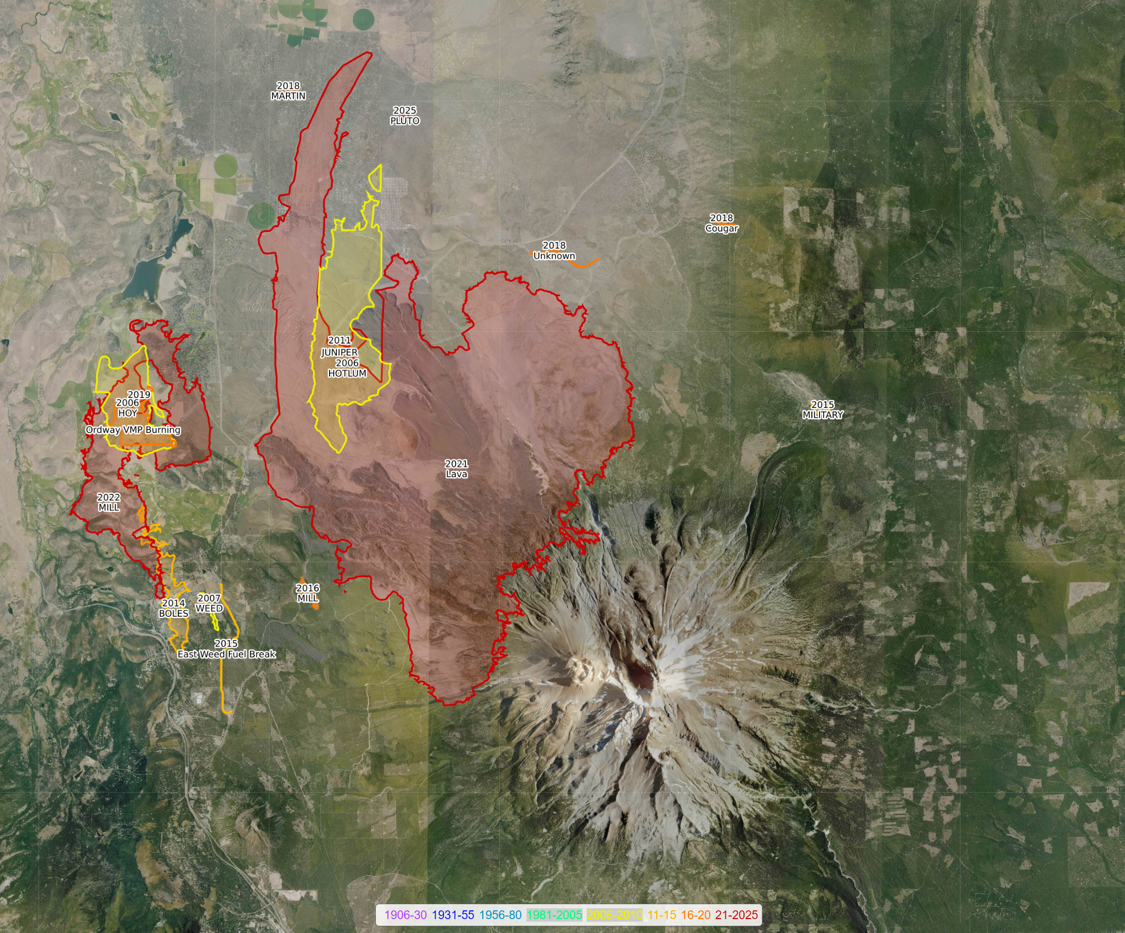
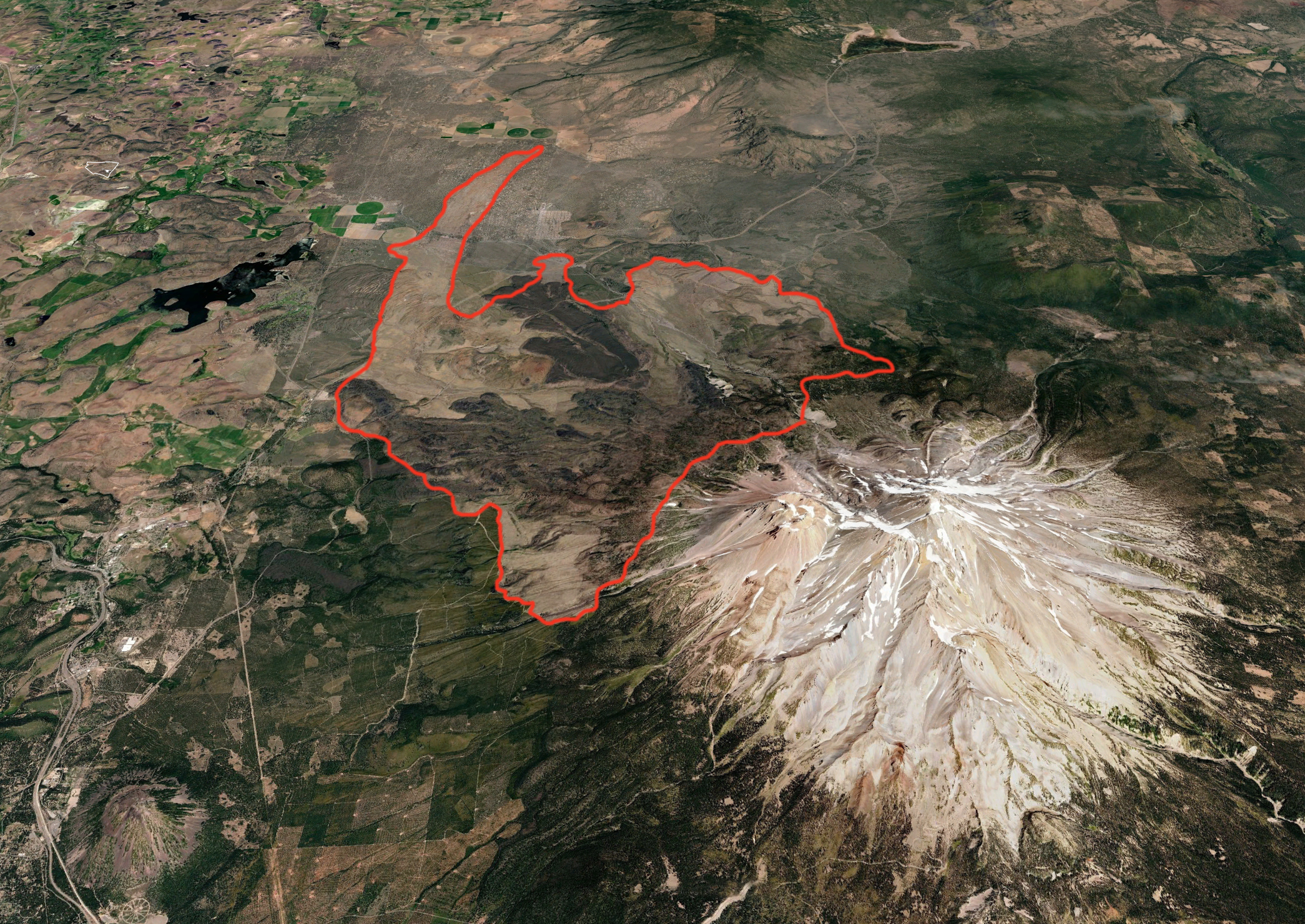
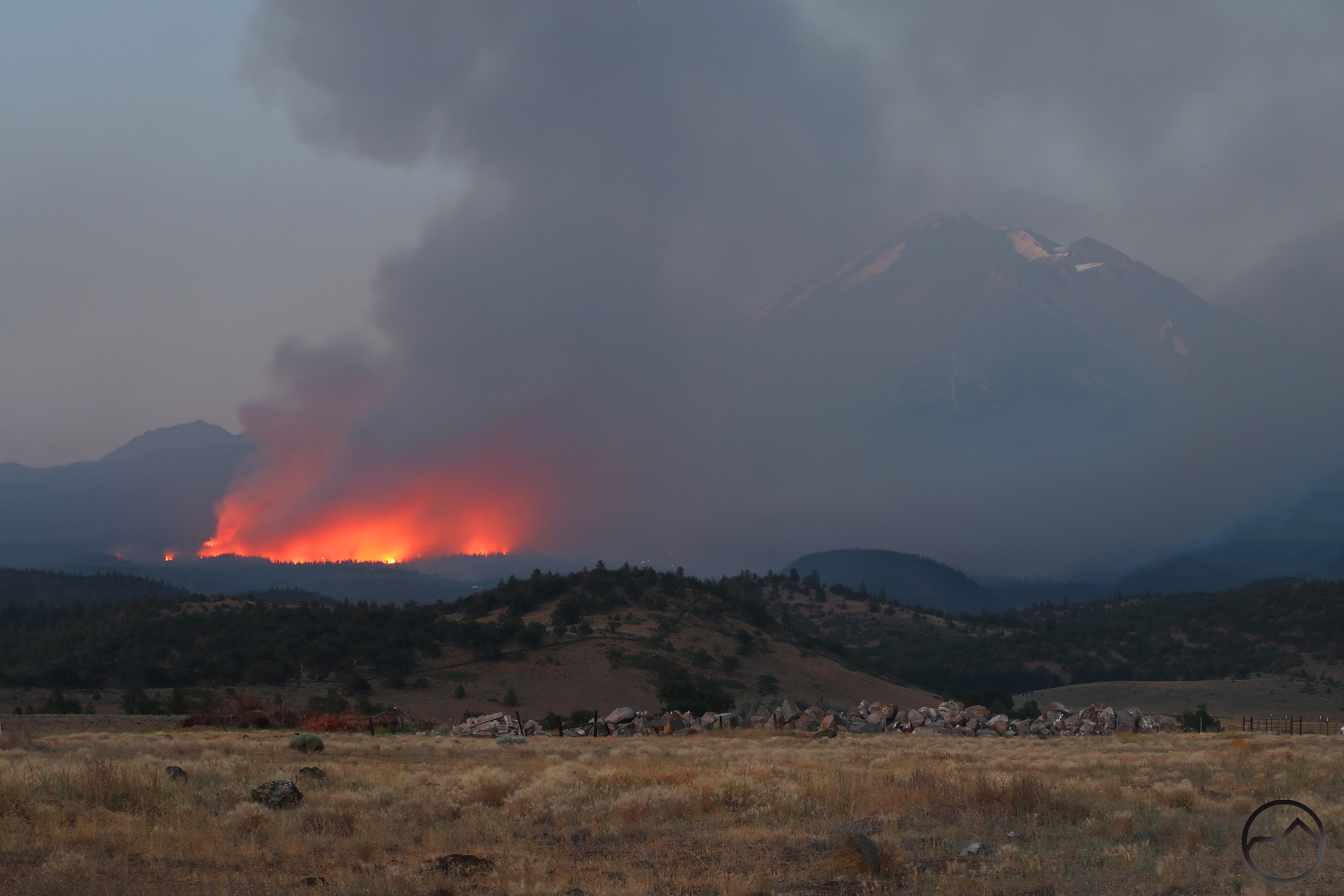
There were a number of tense moments among the community while the fire burned during those days of wild expansion. The most memorable was when the fire made a run to the south, breaching the containment lines during the night and burning to the south side of Diller Canyon. This meant it was only 5.5 miles away from Mount Shasta City and the flames could be seen on Mount Shasta’s flanks from in town. An evacuation order seemed imminent but it never came. The other tense moment occurred when the fire jumped Highway 97 and made a sprint through Juniper Valley, incinerating some of the abominable pot farms that tarnish that area. This created an oddly shaped finger that protruded north of the fire out into the flats of the Shasta Valley. The run north was finally stopped at A-12, the cutoff road that forms the hypotenuse between Interstate 5 and Highway 97.
When the fire was finally completely out in September, the Lava Fire had burned 26,409 acres. Though this was small compared to other nearby fires that burned concurrently like the Antelope Fire (145,632), River Complex (199,343) and the ghastly Dixie Fire (963,309), it was big enough and devastating enough and it was on Mount Shasta, forever altering the mountain’s appearance. While each of those devastated beautiful areas, including Antelope Creek Basin, Lassen National Park and the Trinity Alps, the damage wrought on Mount Shasta was harder to take, in part because it is so personal and in part because it is so visible. Yet, five years on, the damage done to Mount Shasta seems to have healed more than those other areas that burned and thankfully so.
The Fire
When the fire began, I was camping with the Boy Scouts at Camp Fleischmann, located between Lassen National Park and Lake Almanor. Two weeks after I left that camp, the Dixie Fire would overrun it, destroying it forever. When I got back to Mount Shasta, the fire was just beginning its explosive growth. It was not the relaxing return I had been anticipating. It was compounded by caring for covid-afflicted parents and sick kids as well. Needless to say, it was a stressful week.
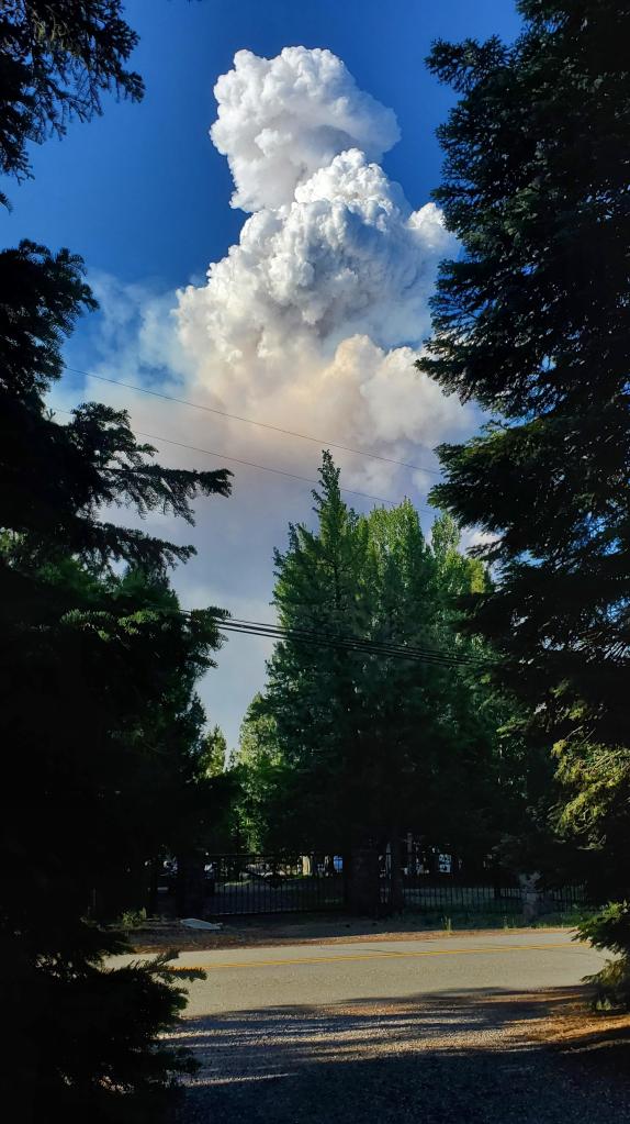
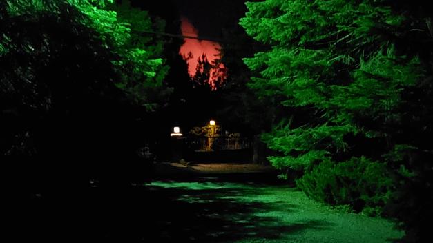
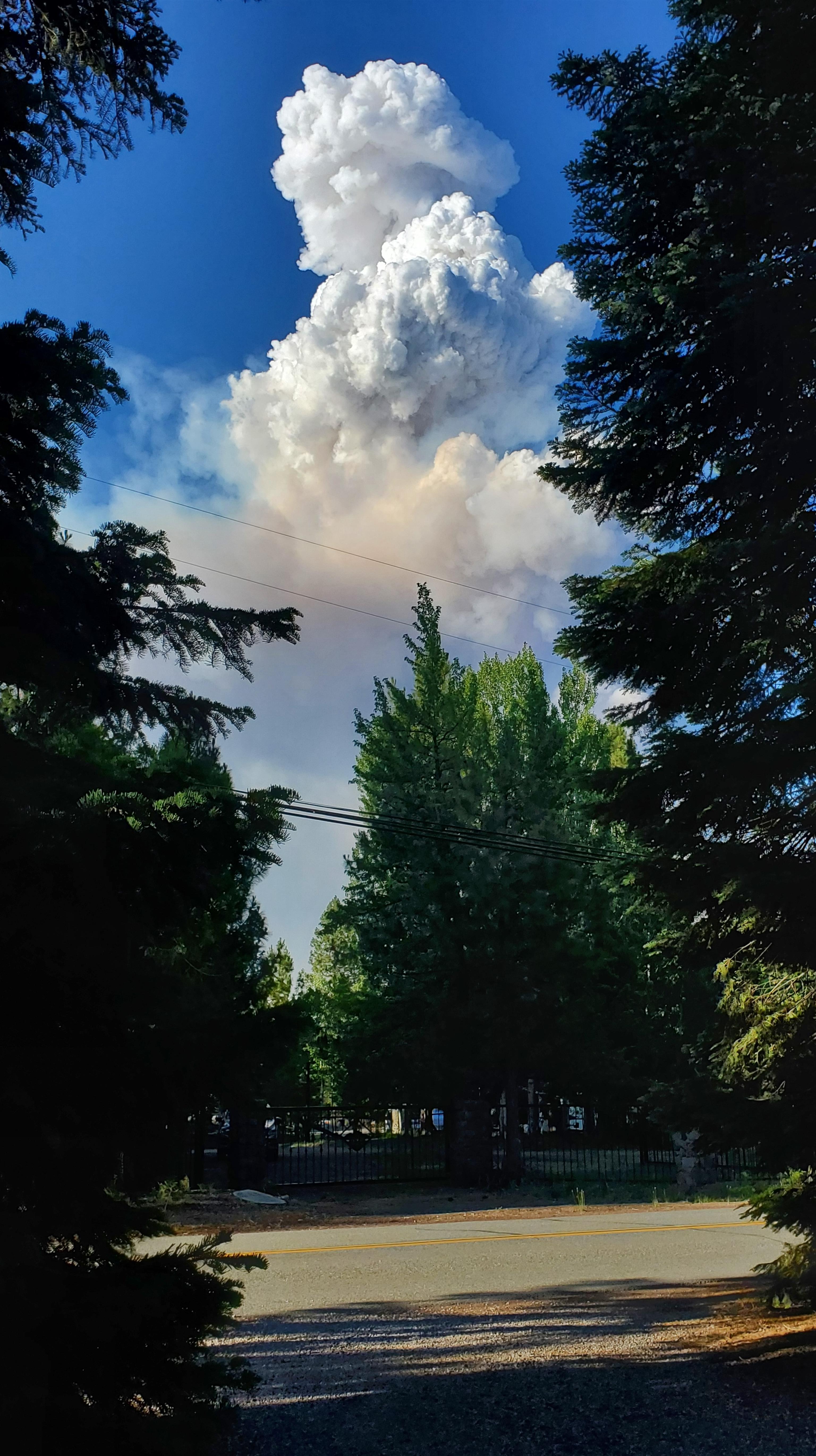
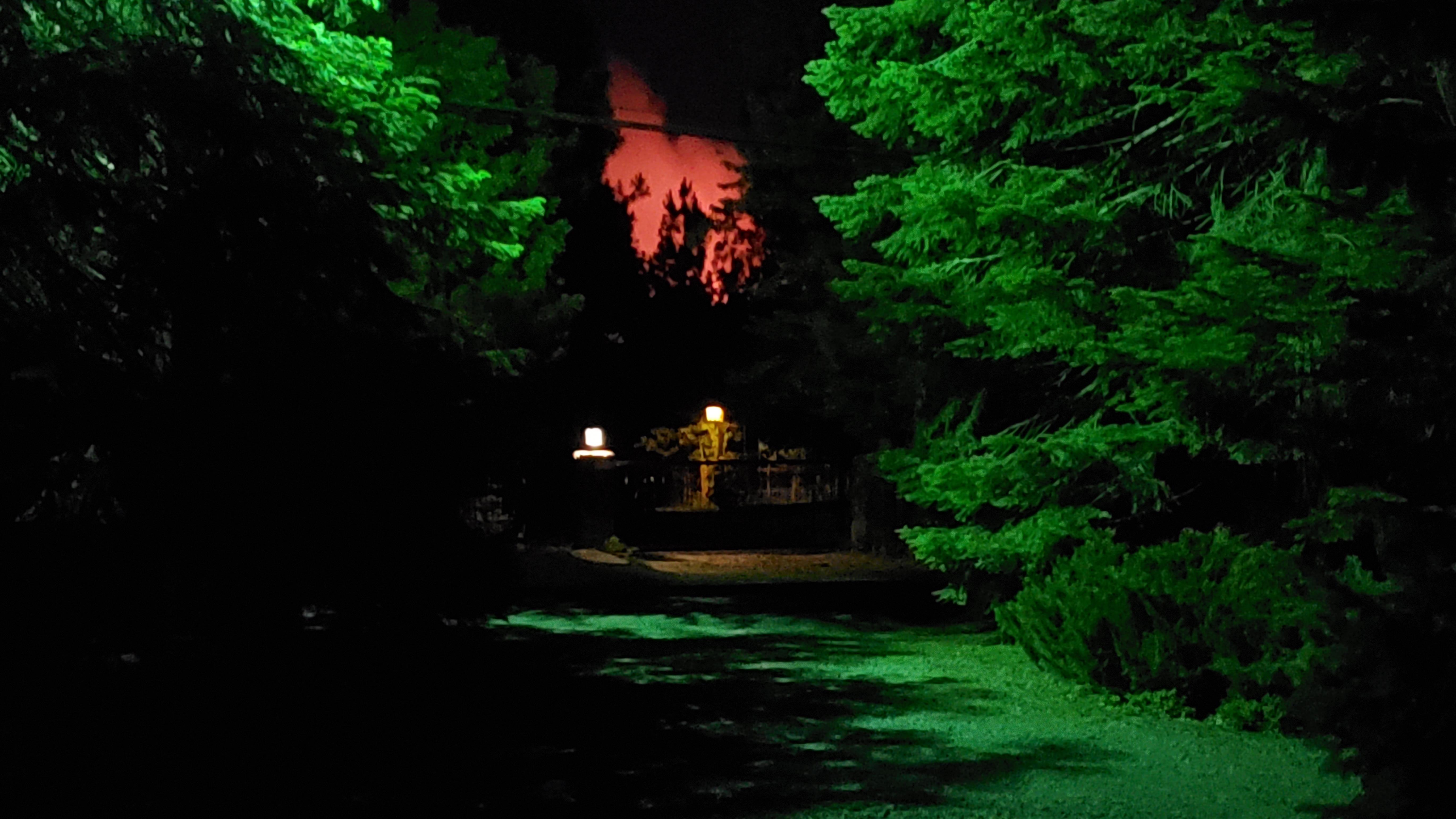
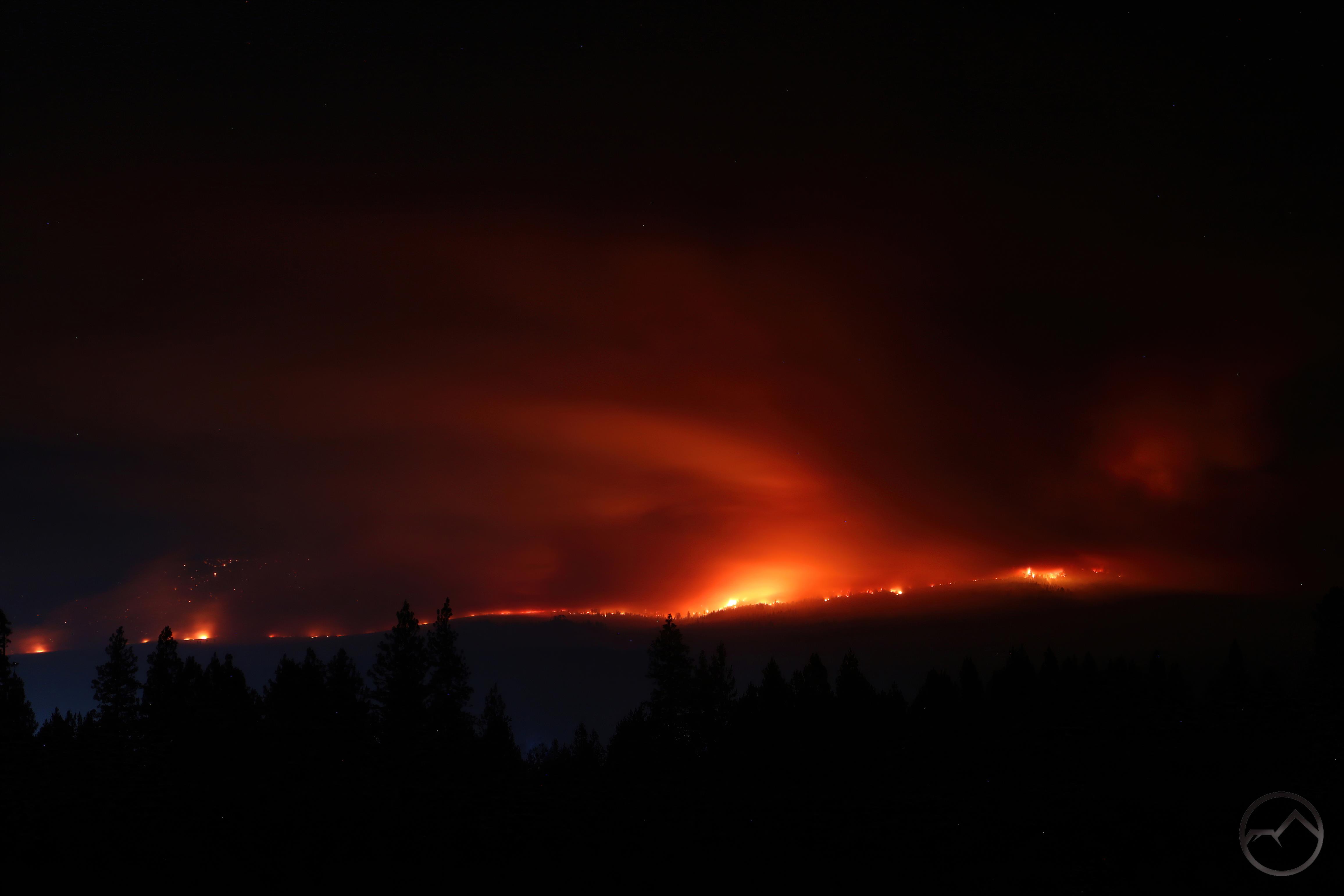
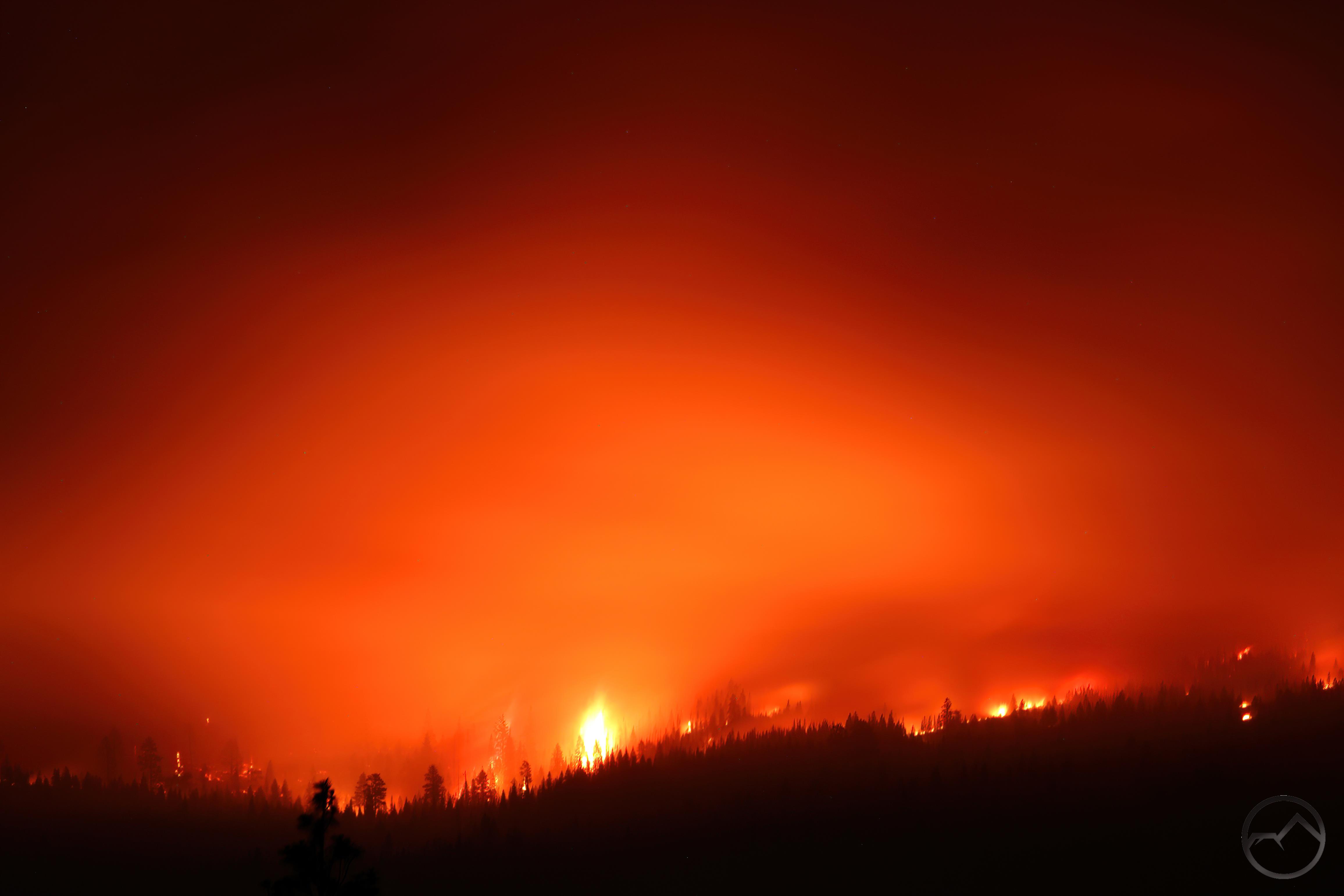
From my house, I could see the pyrocumulus cloud rising ominously overhead. At night, it glowed red, an awful indicator that the fire did not rest while we were trying to. The fire was only a few miles from my house.
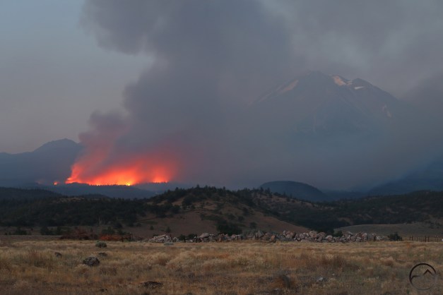
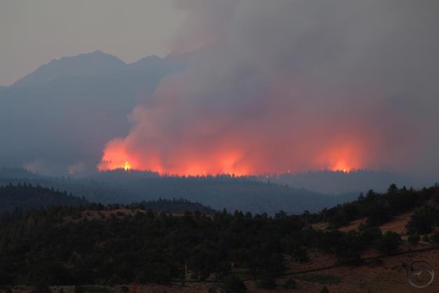
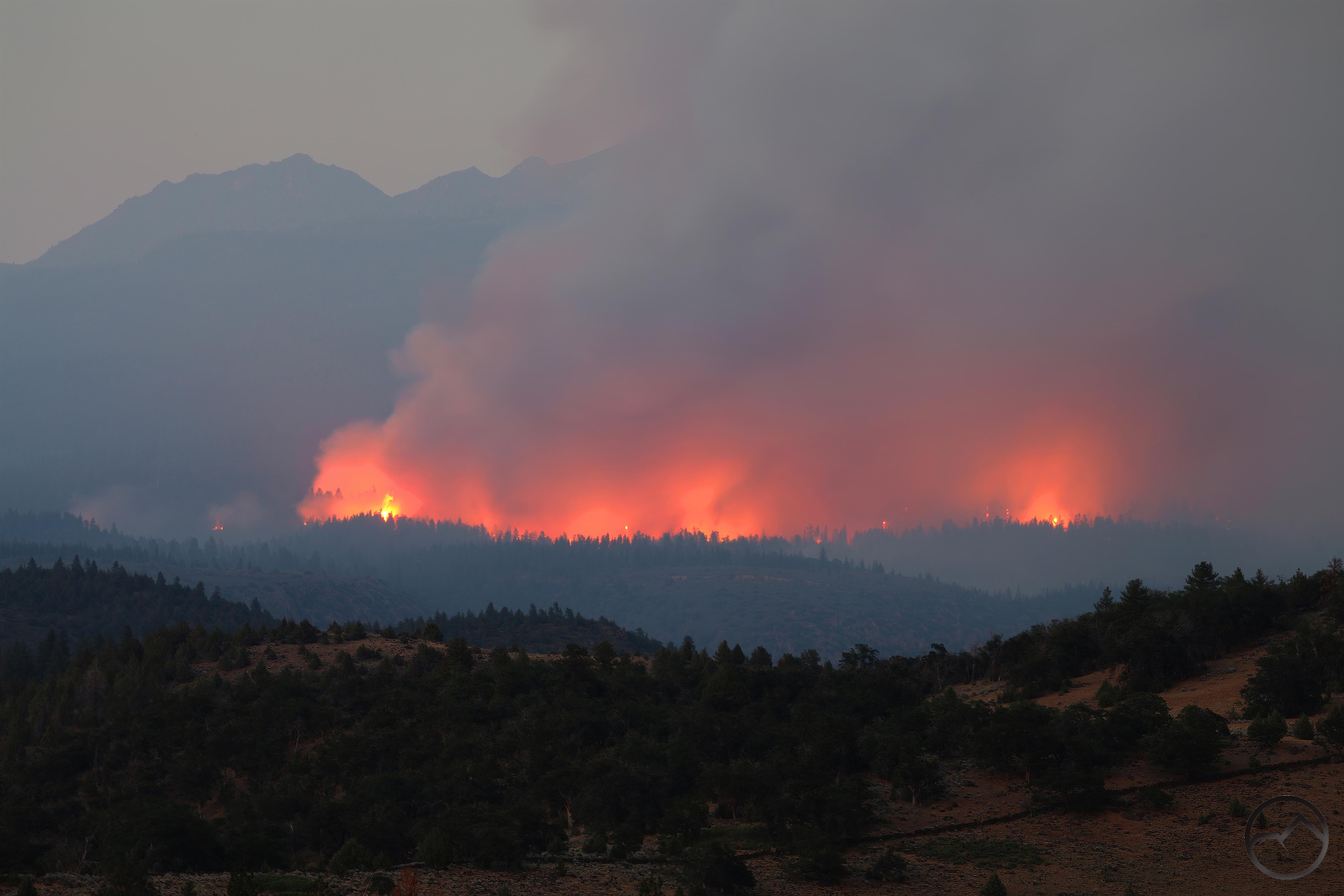
From the Shasta Valley, it was too easy to just stop and watch the flanks of Mount Shasta burn. Old growth forests that grew in ancient lava flows and the rare, isolated aspen groves that dotted the northern side of Mount Shasta were all burning at this time.
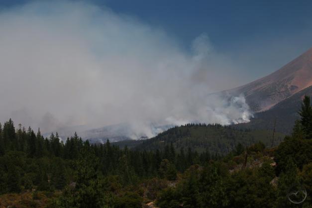
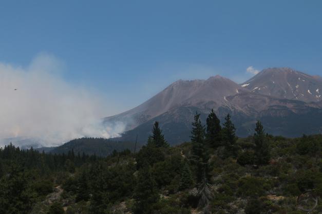
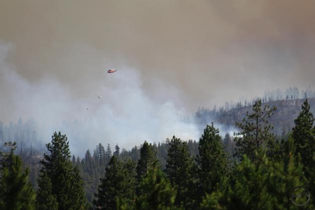
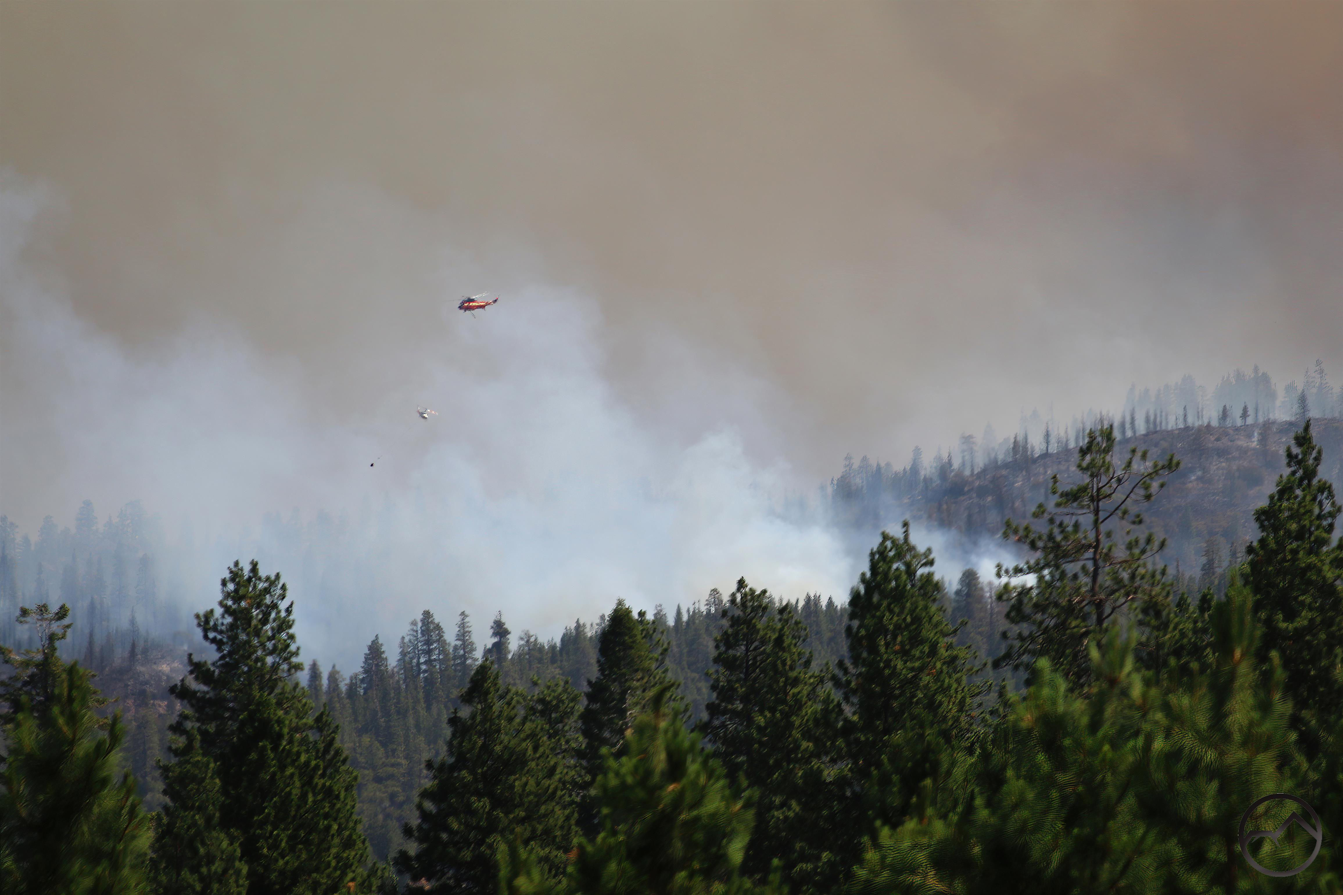
One could watch the aerial resources combat the fire from almost anywhere, including the grocery store parking lot. It was strange engaging in normal life and shopping while just a mile or so away there was a war being fought.
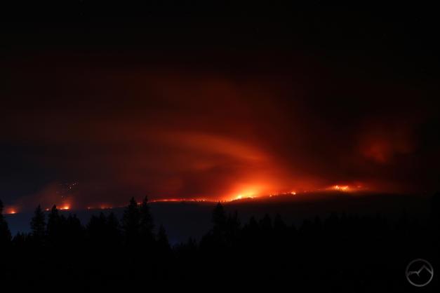
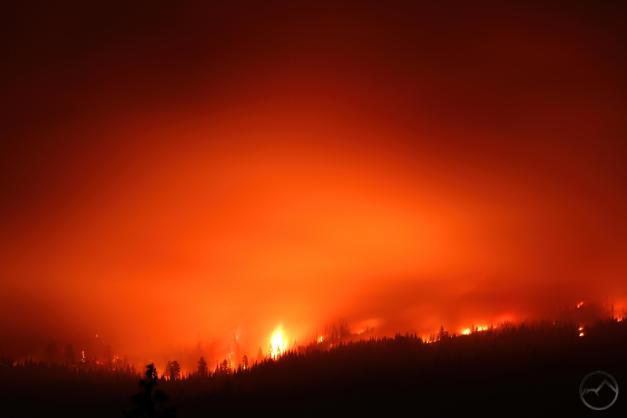
The night the fire made its run on Diller Canyon was the worst. Between sick family and a fire that seemed to be pressing in on the community, everyone was on edge. I filled up the gas tank in our car in case we were going to have to evacuate. While doing so myself and two other men had to forcibly stop a homeless person from building a fire in the woods near the gas station. We had to restrain him until the sheriff arrived. All this, while the fire raged above us on Mount Shasta.
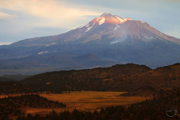
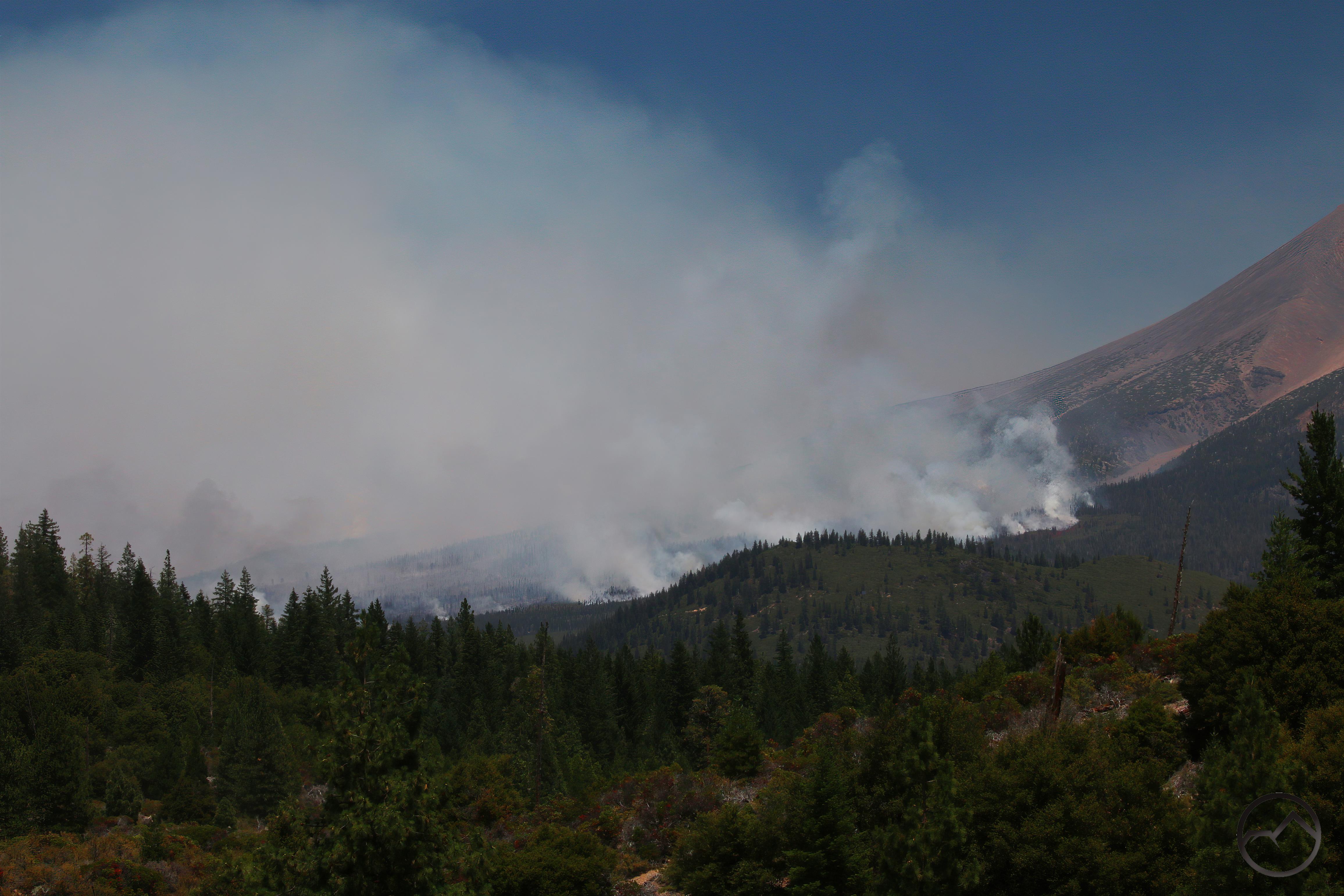
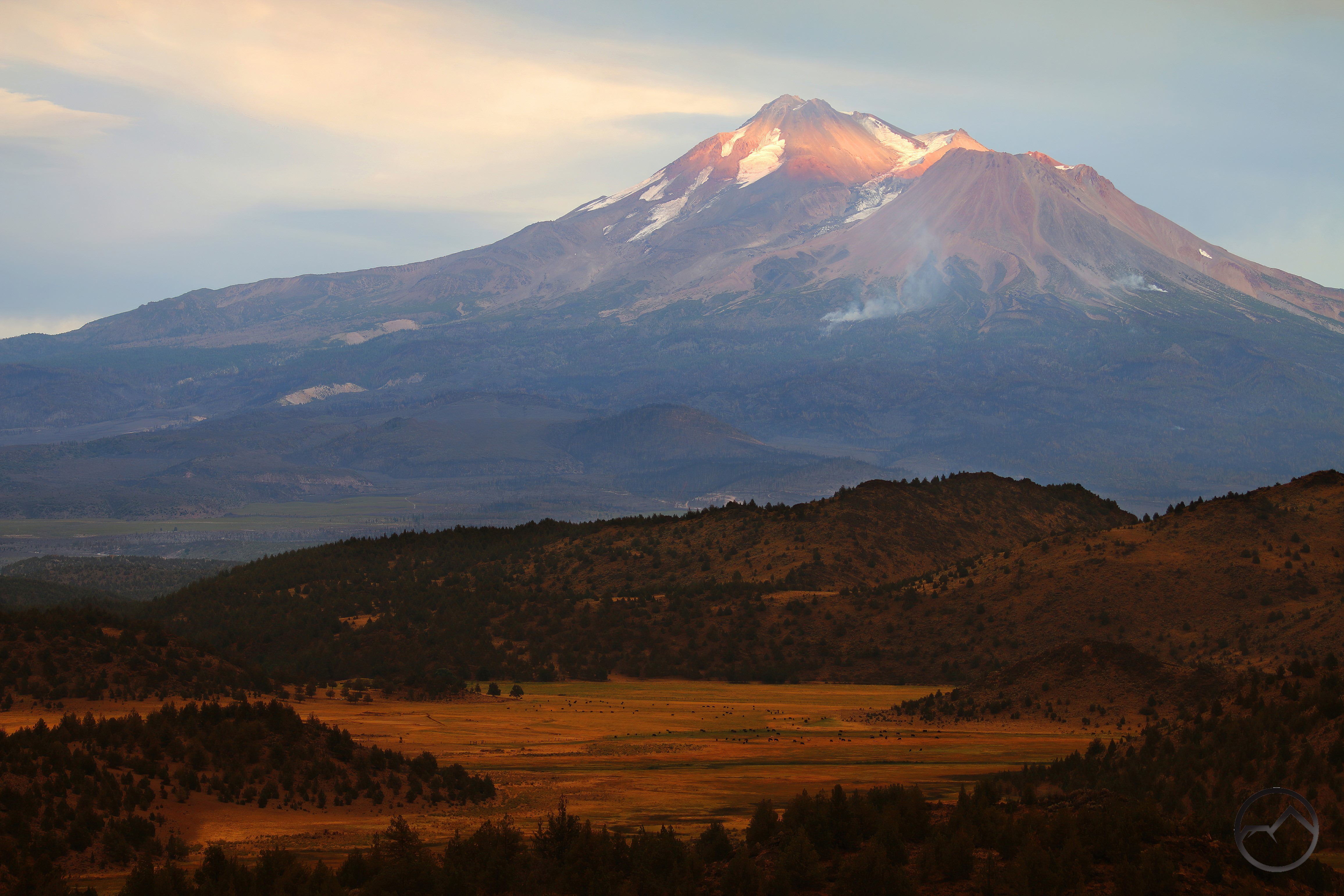
Eventually the fire was contained along the lower flanks and was left to burn itself out at the upper elevations. It eventually reached just up to the treeline, where there is an obvious and natural fire break. Smoke, and at times flames, was visible from these small fires long after the rest of the fire was over.
Aftermath
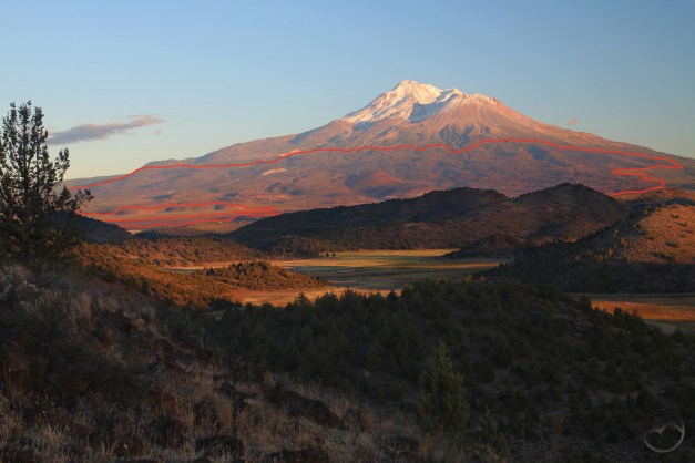
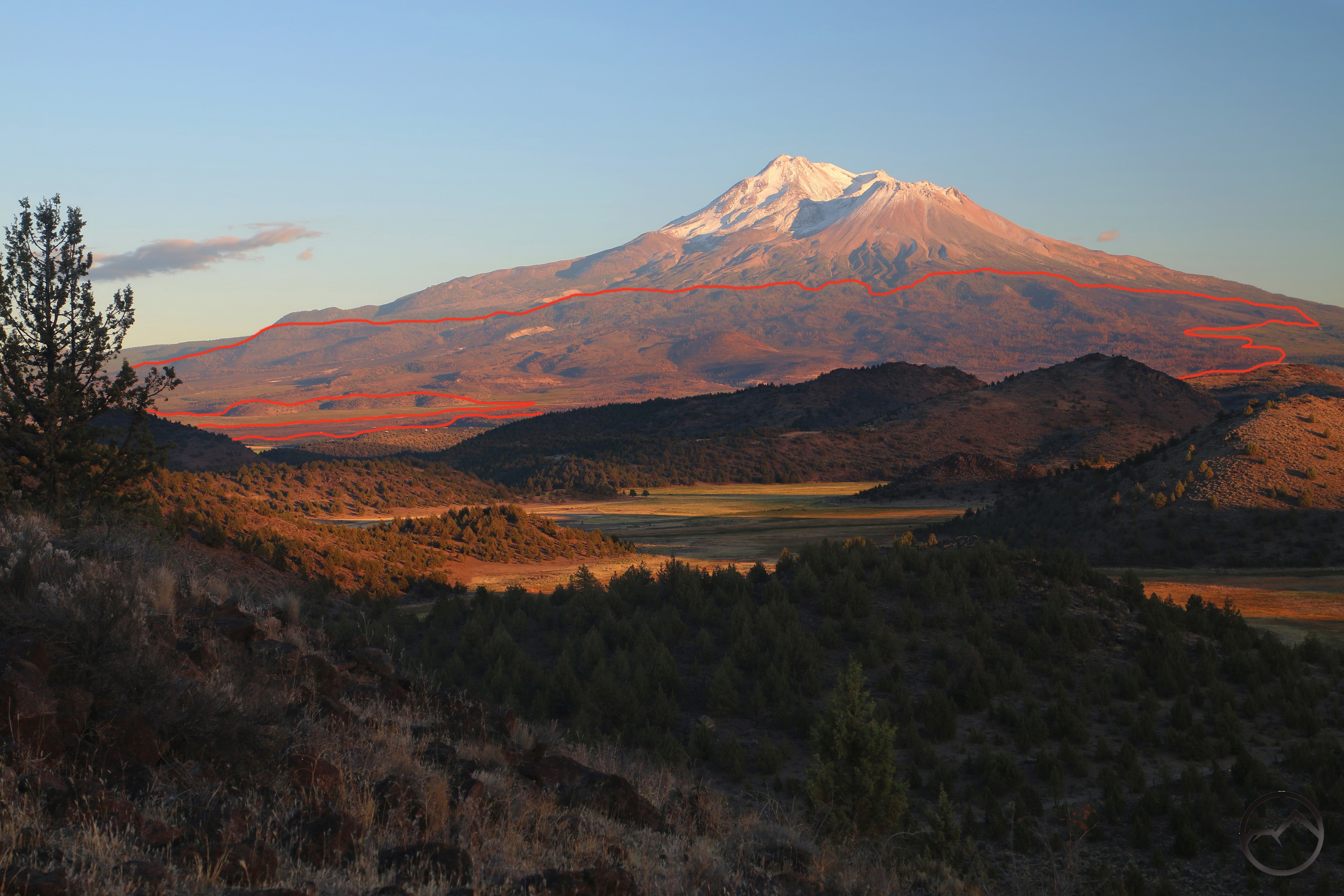
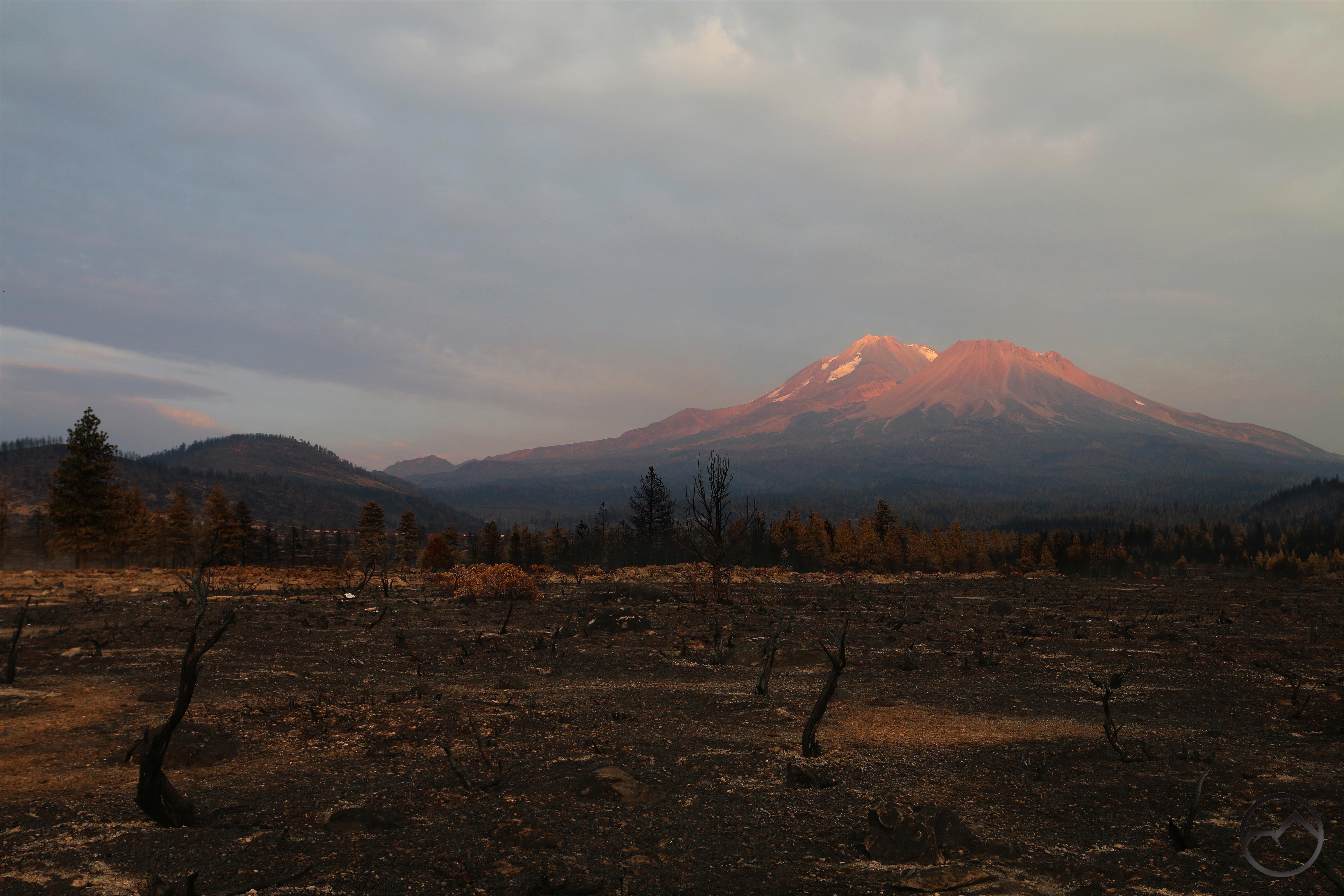
When it was all over, the fire had burned its way across most of Mount Shasta’s northern flank. It burned from Diller Canyon on the west side to the lower North Gate Buttes (Points 6700 and 6859). This was a arc of nearly 10 miles. It burned in areas near the krummholz trees at the treeline all the way down into the high desert junipers of the Shasta Valley. That represents and elevation differential that ranges from about 8,500 feet to 3,000 feet and all the commensurate forest ecosystems to be found in that kind of elevation strata.
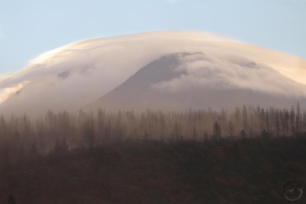
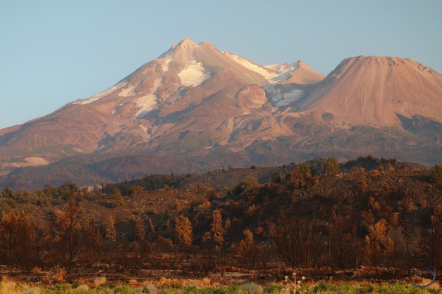
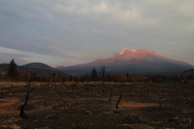
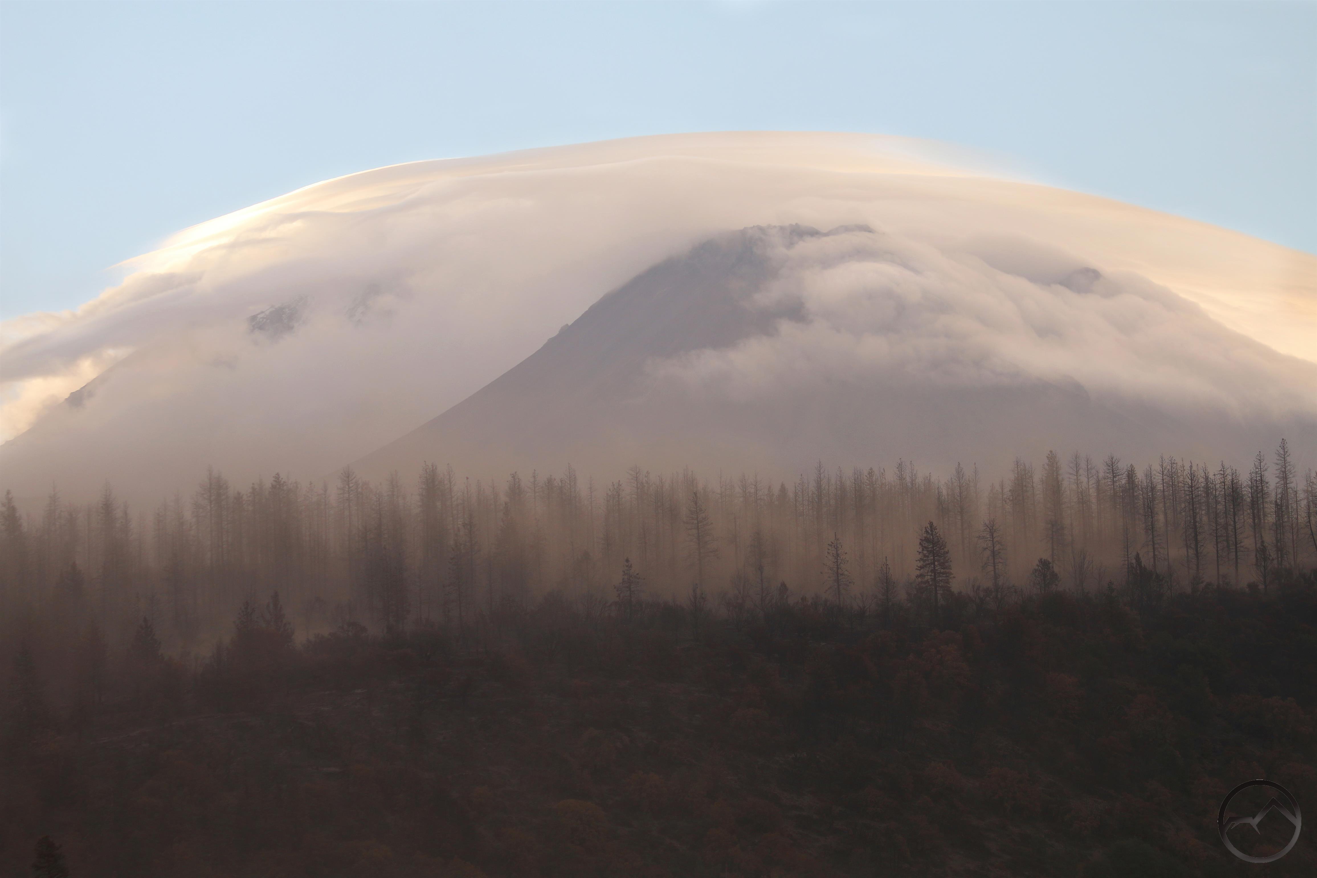
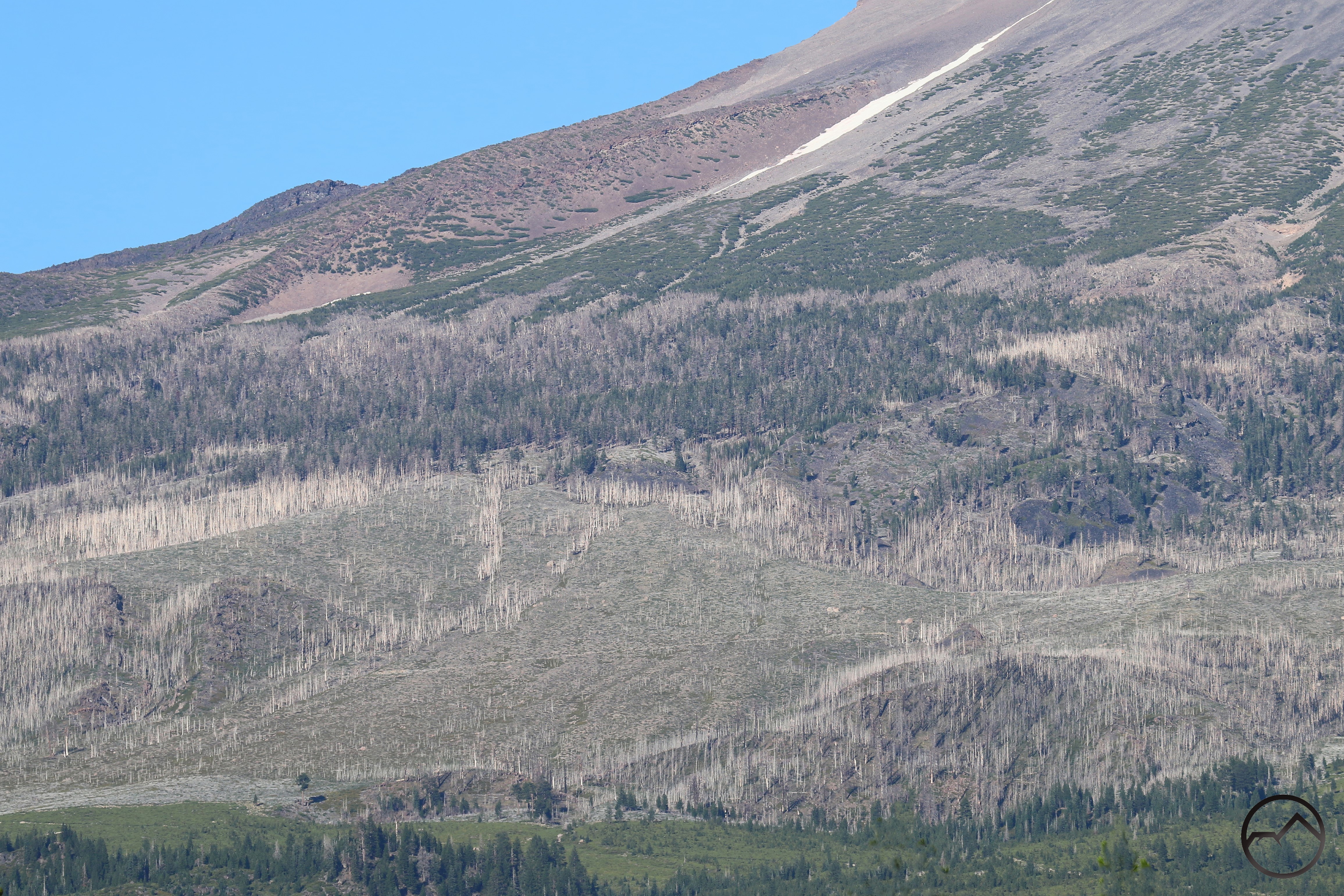
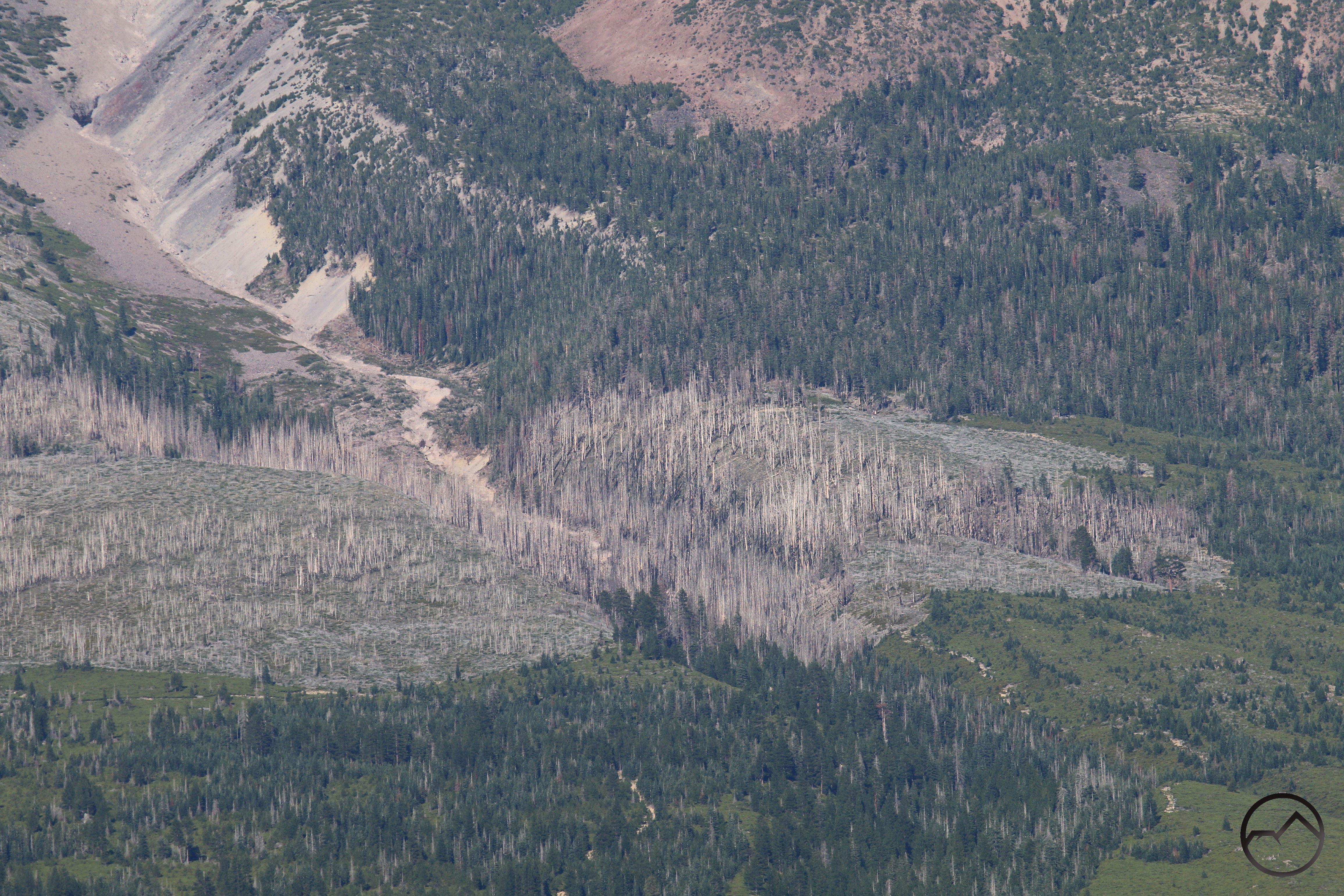
As anticipated, the landscape was devastated. Vast swaths of trees were burned, the thick brush of the lower elevations was incinerated and the deep duff that covered the forest floor was annihilated. It was tragic to witness. Dust from the burn areas became a problem and the ghost forests, the innumerable trees standing naked of needles were haunting reminders of that had been and now what the future of the area augured.
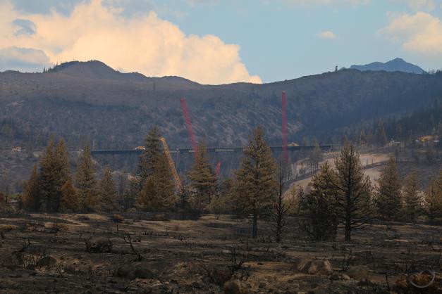
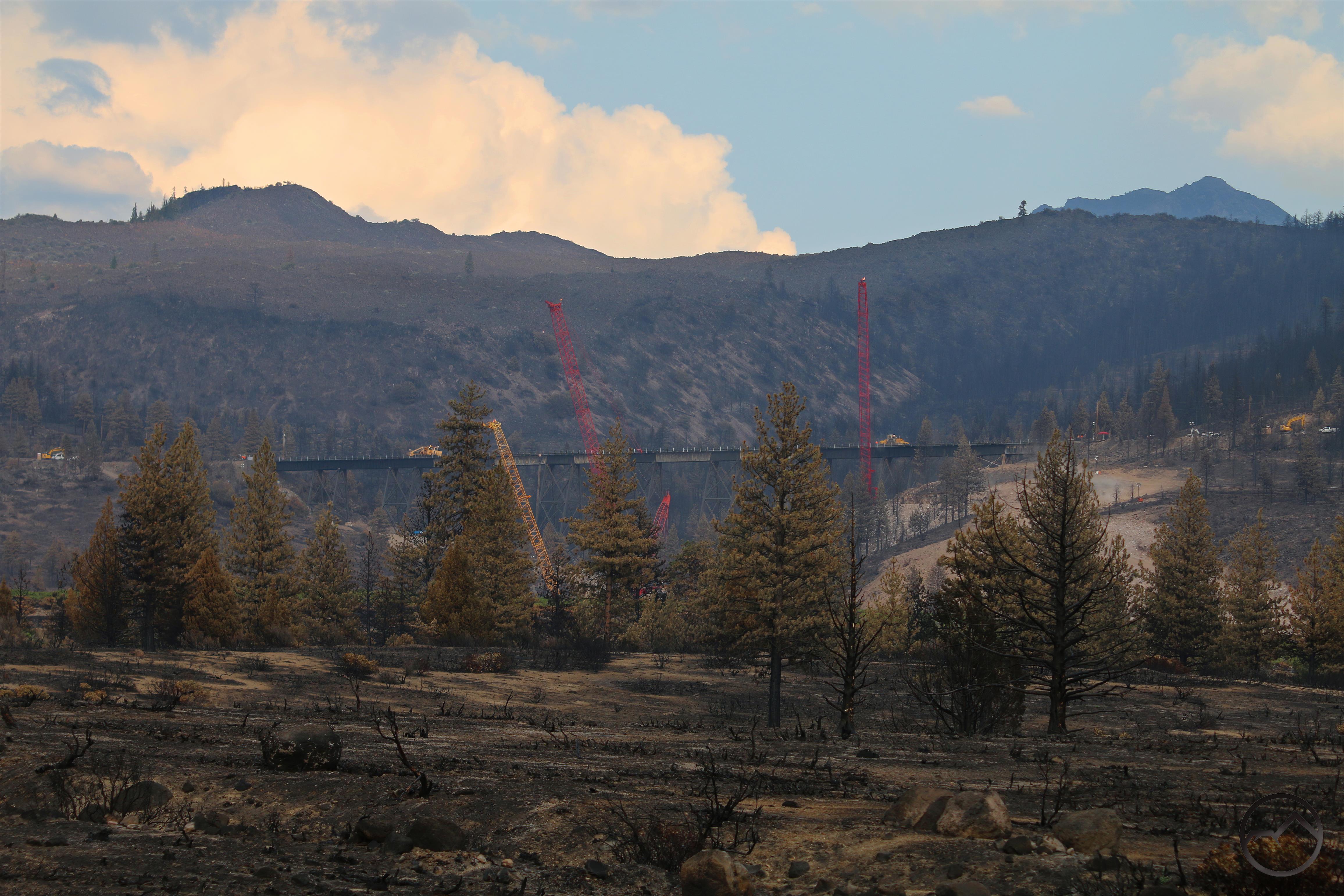
Besides the natural aspect of the region, the human geography was impacted as well. The fire burned all around the Union Pacific’s Dry Canyon Bridge, damaging parts of it and necessitating repairs before train traffic could resume. The repairs began instantly, while smoke still rose from smoldering fires. It was eerie in town with no trains passing through. Rail traffic had to be routed east, along the BNSF’s right of way.
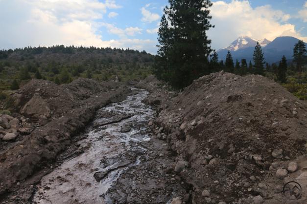
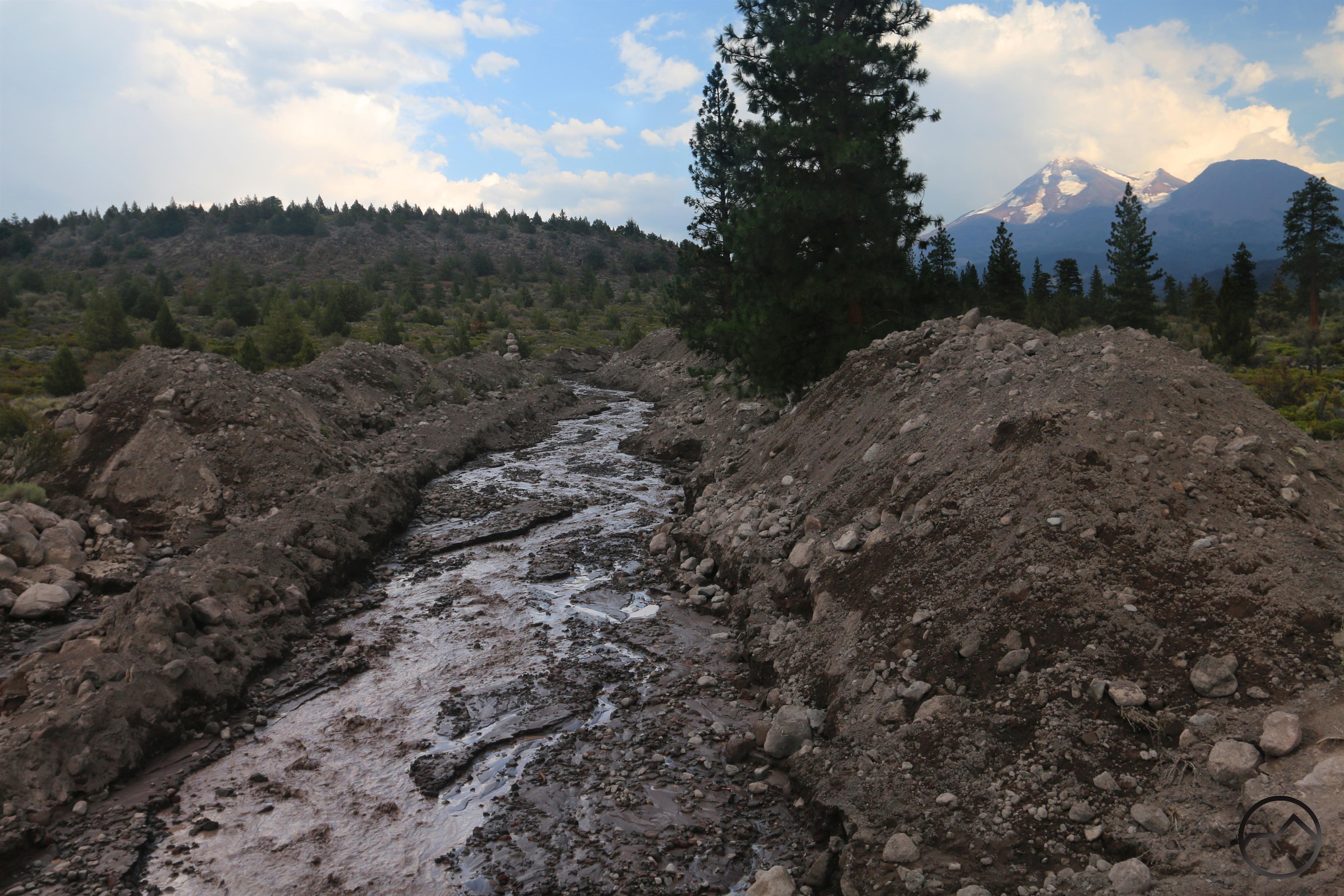
Transportation was further complicated by the activity of Whitney Creek. The creek has historically been unstable at times, with large mud flows erupting when the massive Whitney Glacier has occasional, summer outbursts. Now, with the summer heat and the burned soil, the creek’s watershed was even more susceptible to erosion. Consequently, the creek overwhelmed the drainage under Highway 97 and spilled out onto the roadway, burying it in mud. Heavy equipment was brought in to excavate the impoundment and to dig out the creek’s channel so that water could pass through more readily. This section of the creek as been permanently altered by this process.
As sad as it was, dwelling on the events of the fire did not help and we moved on, accepting the new normal that had been inflicted upon the mountain.
Five Years Later
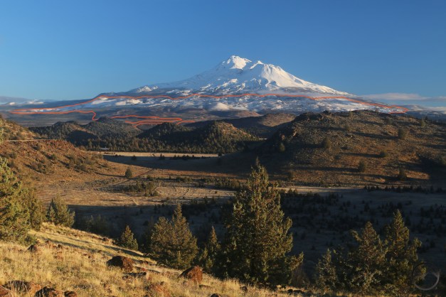
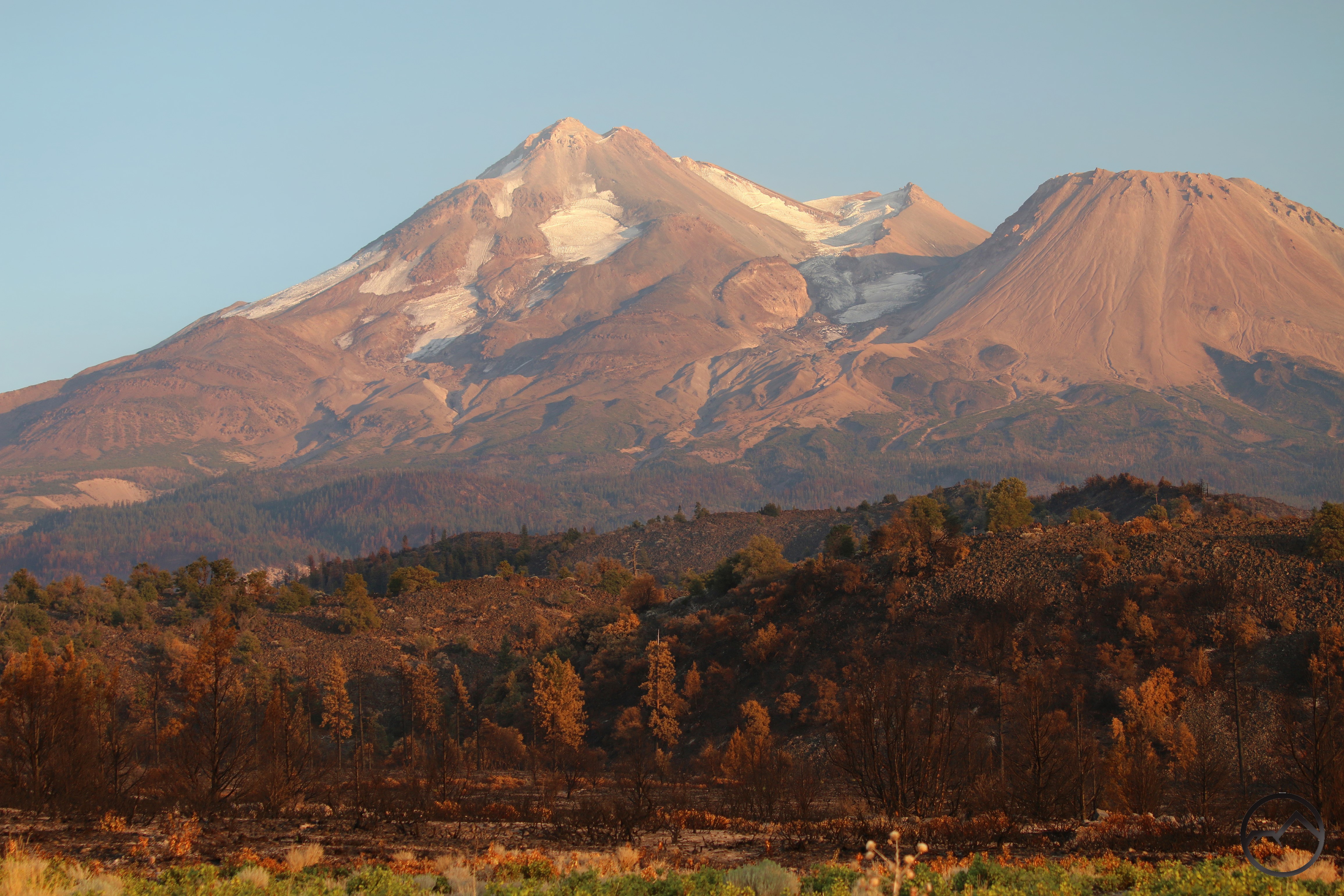
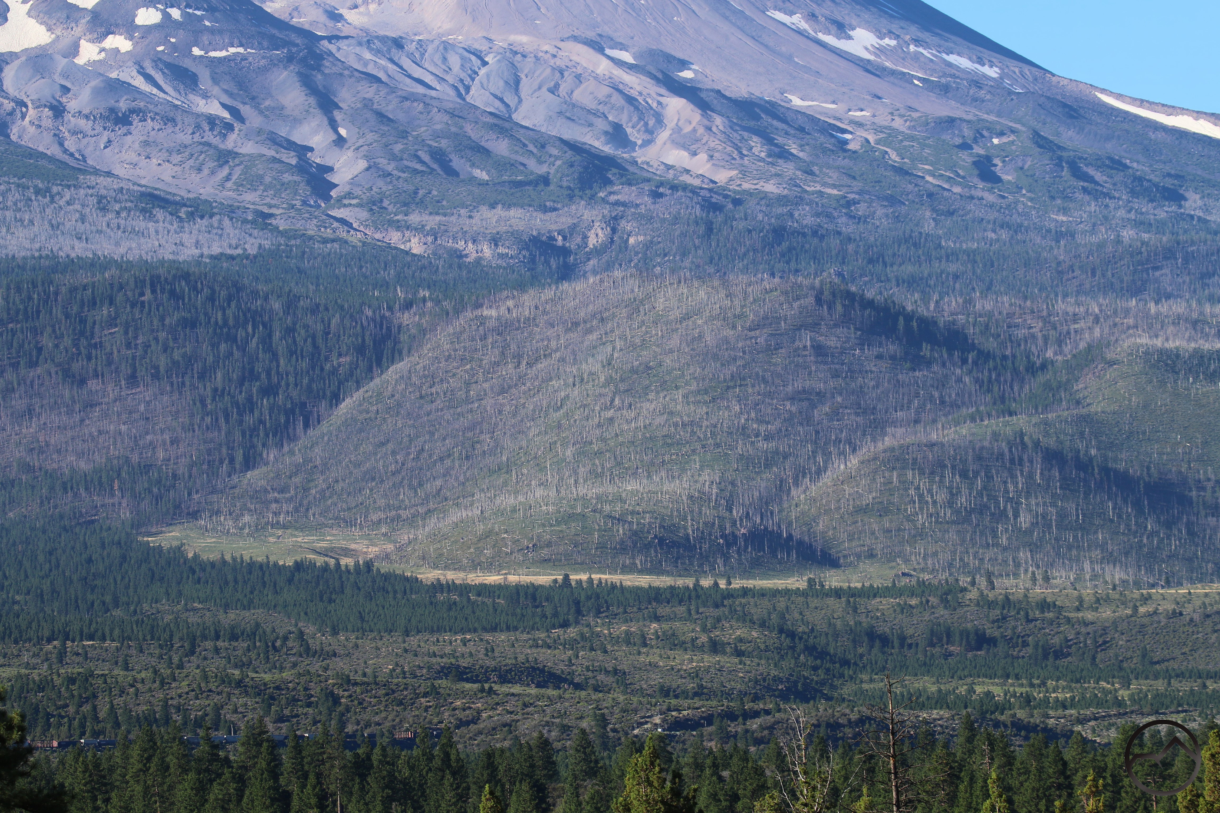
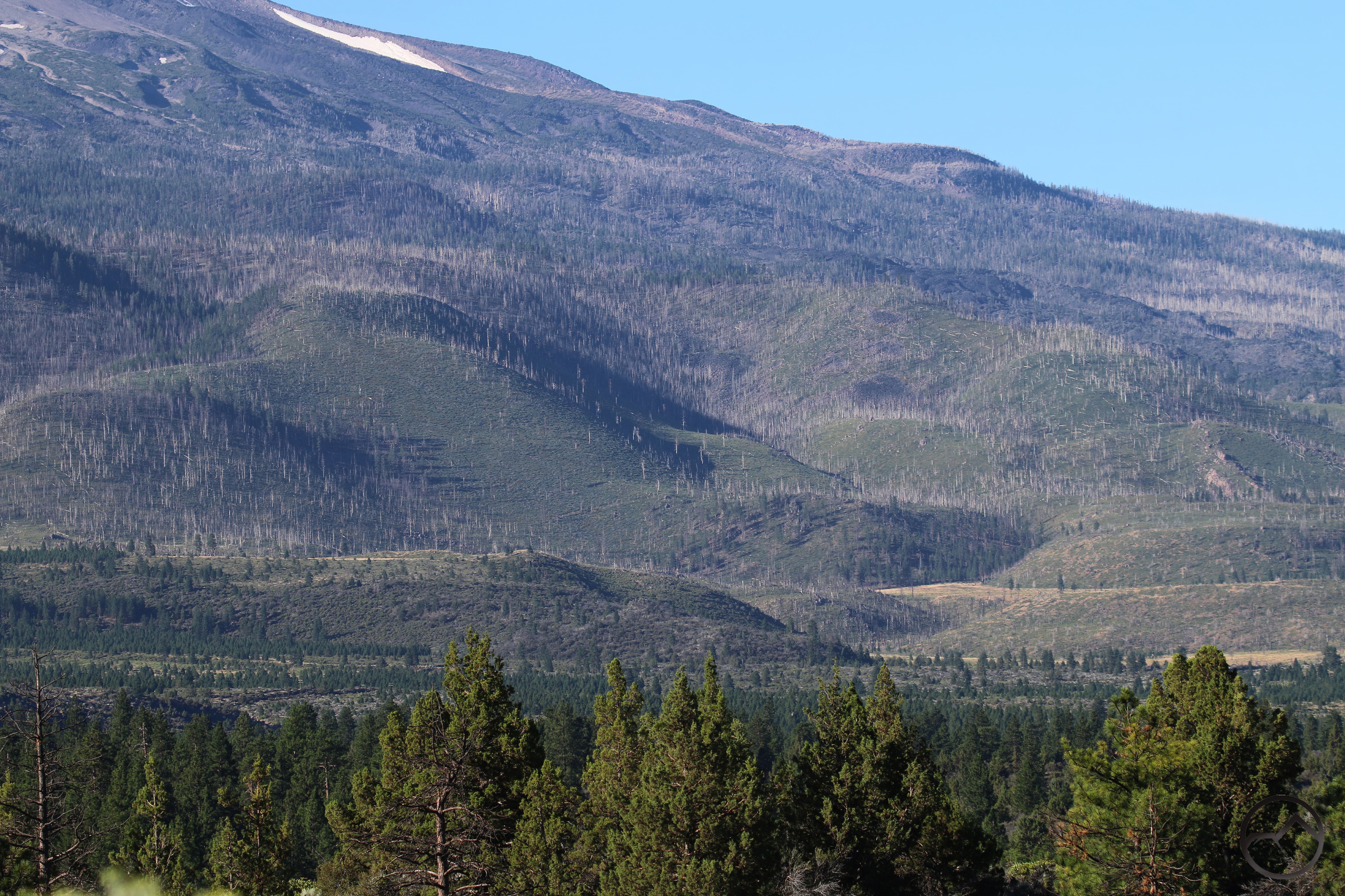
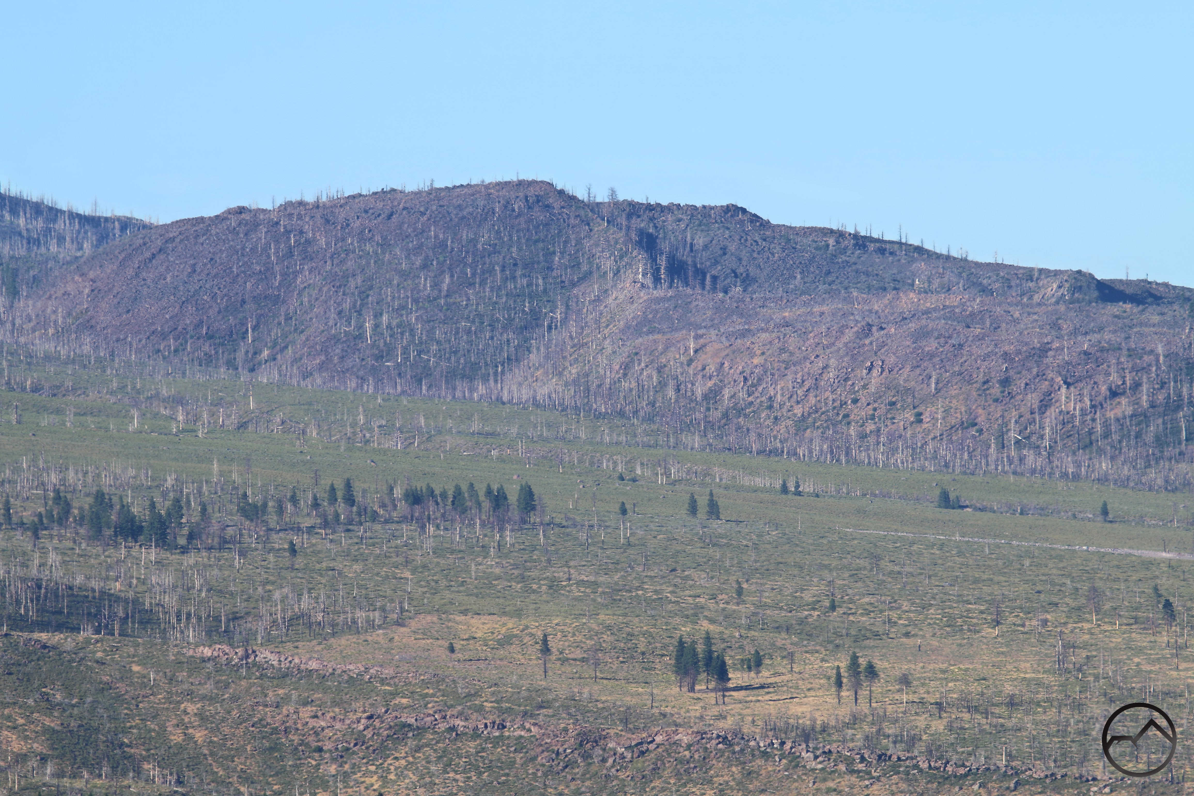
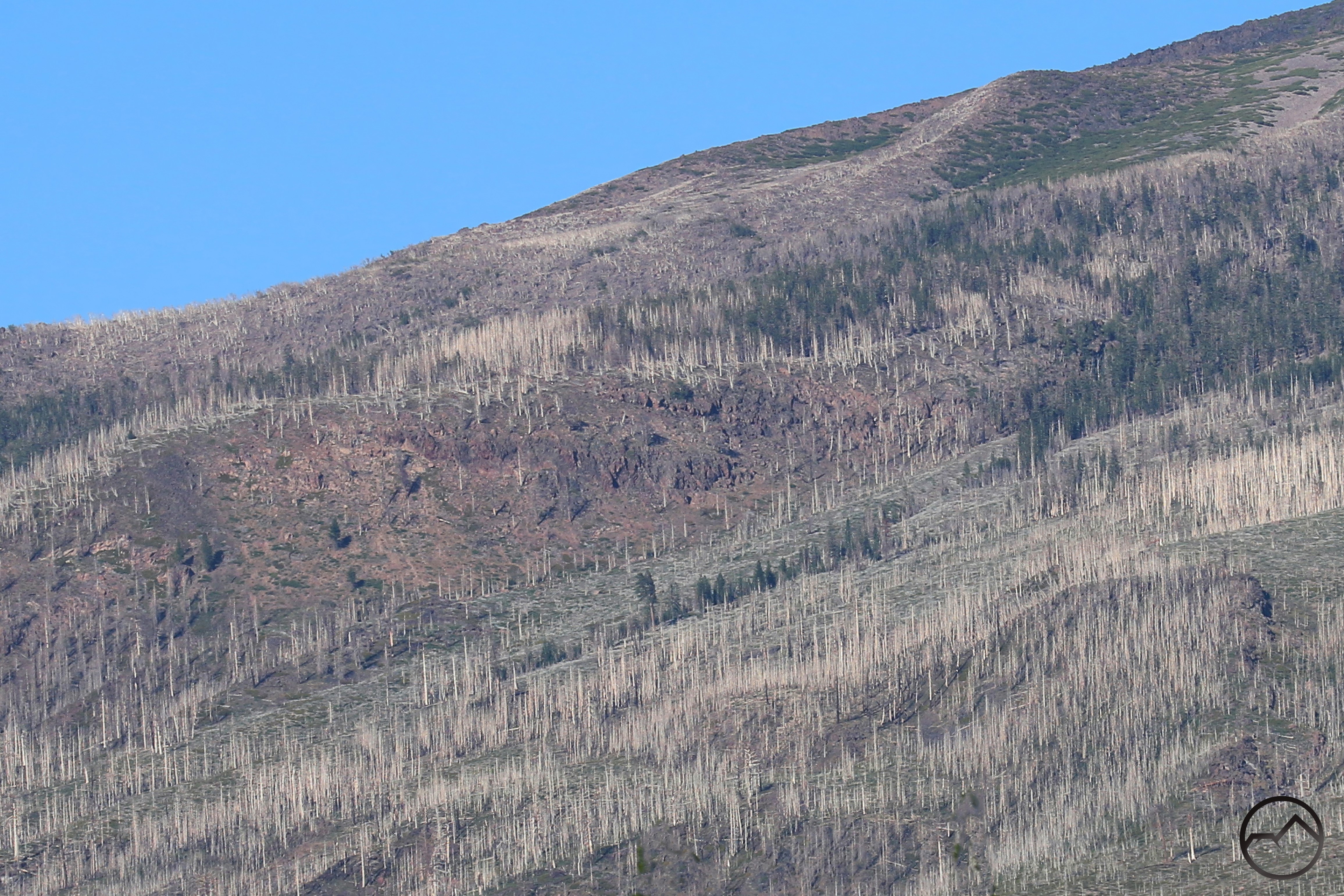
Now 5 years have passed since the Lava Fire. Mount Shasta has joined the sad ranks of other Cascade giants like Adams, Hood and Jefferson that have all had similar scars left on their mighty flanks. Fortunately, nature immediately set out doing what it does best – it heals. The first year things looked pretty rough but by the second green was returning to the landscape in abundance. The vast ghost forests of burned snags remain, but the heavy snow load, especially in 2023, seemed to shear a lot of the branches off of many of them. I am always of the opinion that the stark white trunks, sans branches, always look better than the snarled remains of burned trees that have retained their branches. From the base of the mountain, this has improved the look of things significantly.
Healing is more than simple appearance however. Restoration takes time and effort from people as well. The USFS has contributed to this by planting over 1.4 million seedlings on Mount Shasta, most of them in lower elevation areas on the sides of the large Graham Lava Flow. This consists of ponderosa and Jeffrey pines. This is an excellent contribution to the reforestation process. I hope similar efforts, even if smaller, can help jumpstart the red fir and white bark pines that burned at higher elevations, as well as restarting some of the aspen groves that grew on the mountains north side.
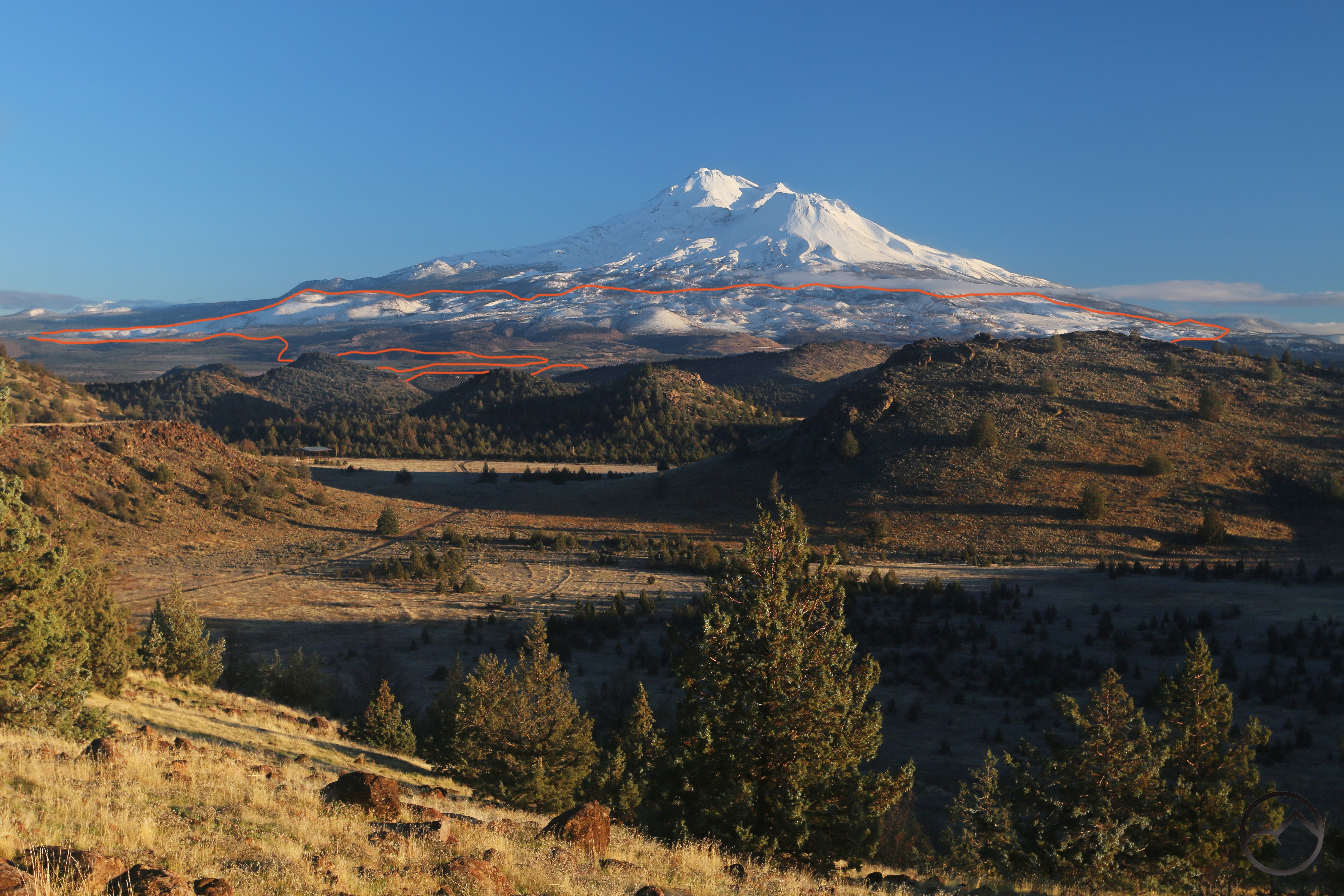
These are excellent developments and I am optimistic about Mount Shasta’s future in these burned areas. And yet the scars of the fire remain:
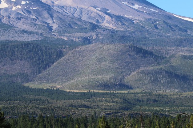
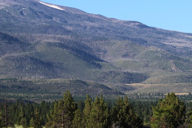
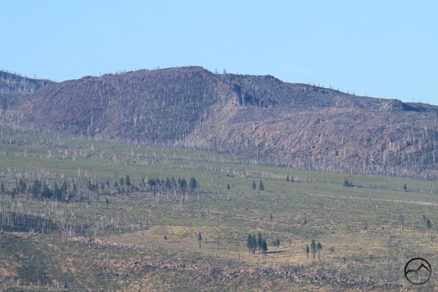
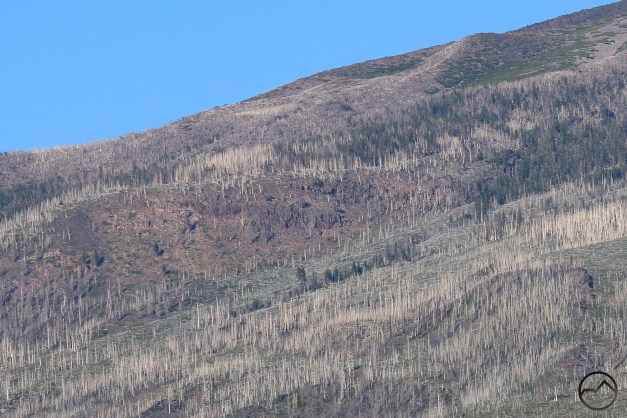
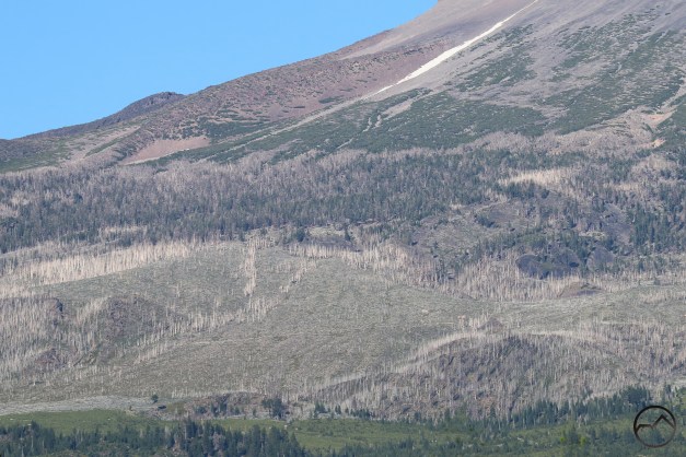
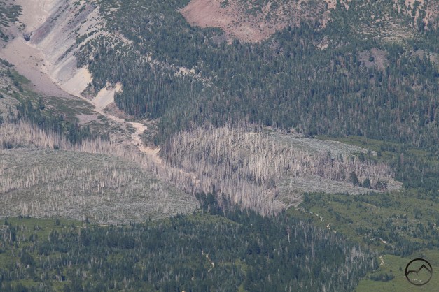
One can observe that the burned areas are already filling in with brush. Trees will follow. In 30 years, these areas will look quite different. In fifty, it will be hard to tell there was a fire. In 100, It will be overgrown. Such is the way of recovery.
For now, I am grateful for the 5 years of healing we have already had. It is getting better. I have not been able to bring myself to visit the Whitney Falls or Black Lava trails. I think the time is right to return and see how the land has fared. I will report if I do.
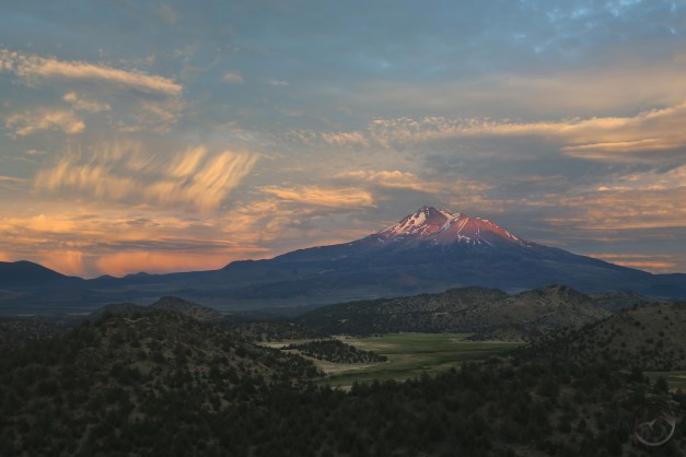
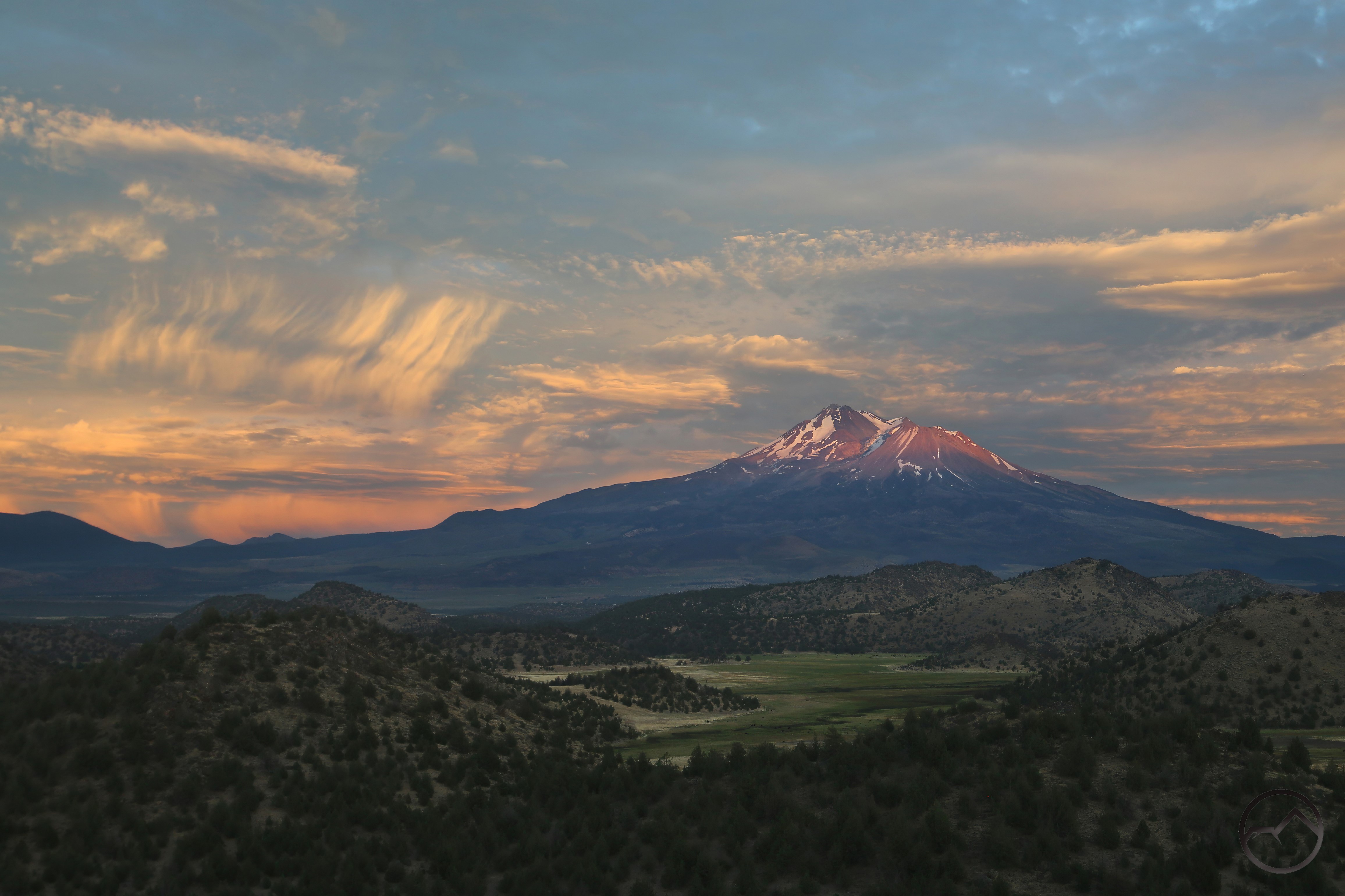
So five years have passed since the Lava Fire. Devastation was wrought, lands were changed. I pray we have no more fires like that on Mount Shasta, or anywhere else. 2021 was a bad year for fires. May it remain in the worst. Now Mount Shasta still stands alone and mighty, and like the rest of us, it bears the marks of the vicissitudes of a fallen world. Yet it remains beautiful and wonderful.