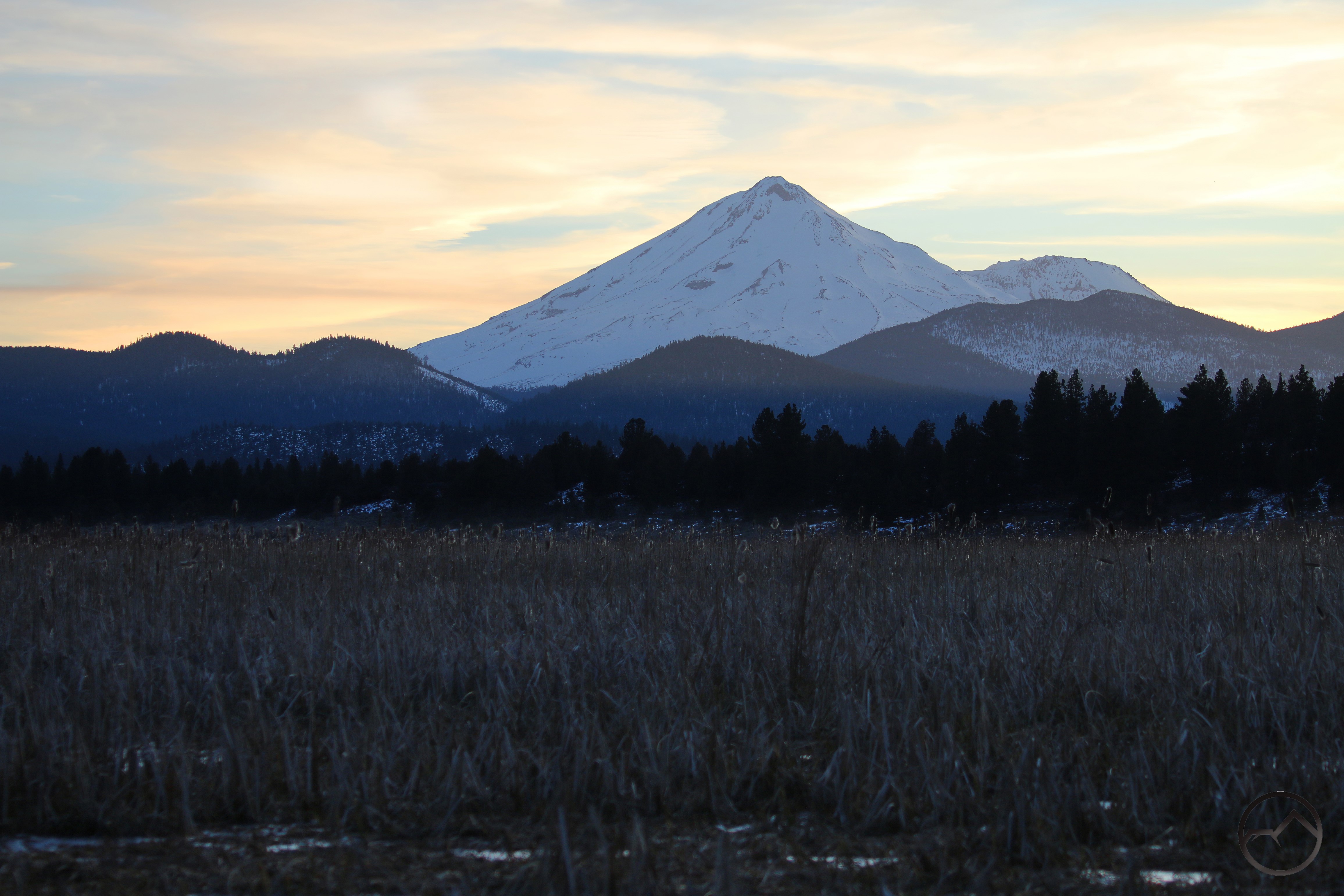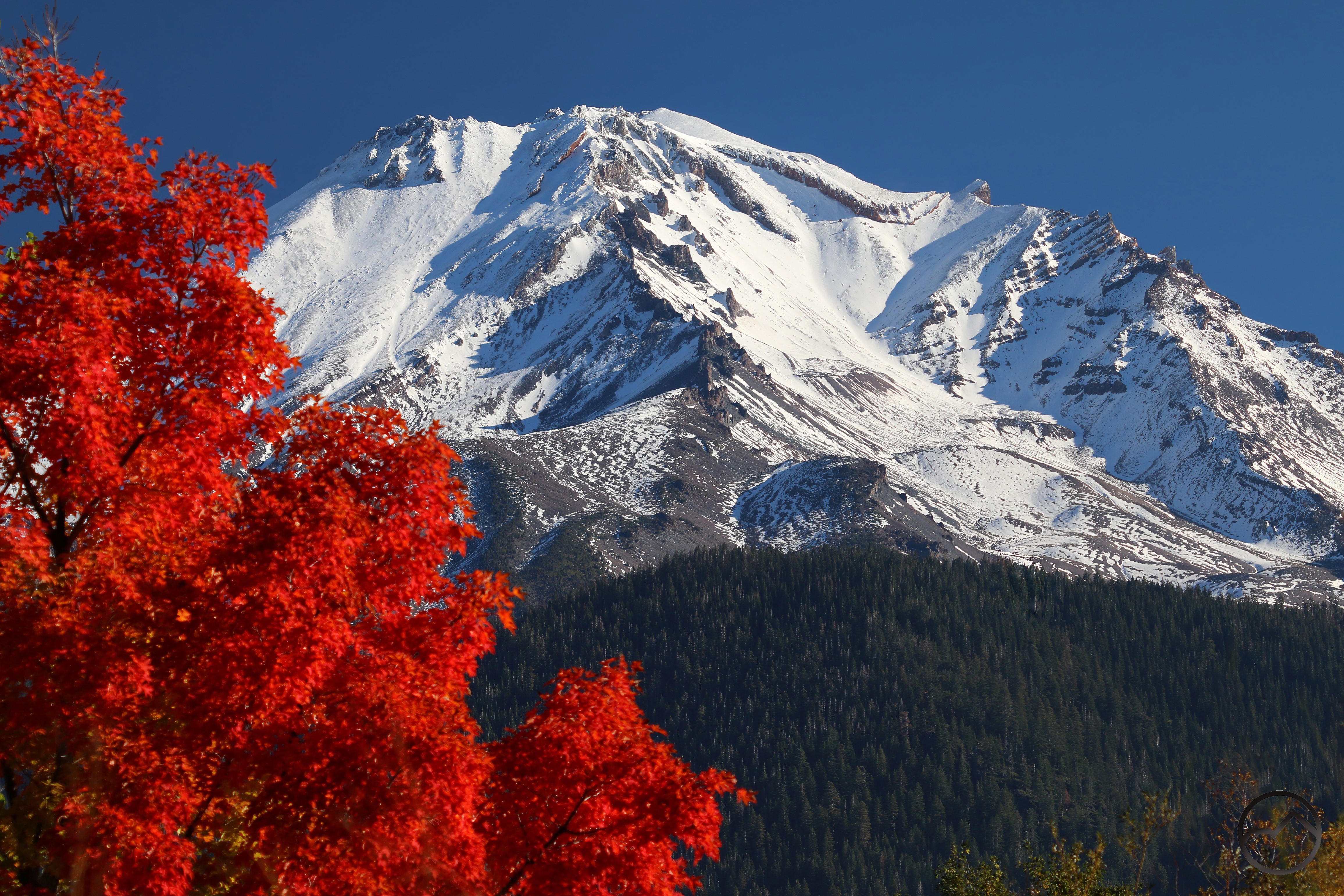
Fresh snow blankets Mount Shasta at sunset.
Another month has sailed past and I have not had much time to post anything, so this is going to be just a quick collection of pictures and conditions, most of which I have been able to capture as I have been going about my life. My apologies for the paucity of words. I do have two posts in the works that are neither weather related nor just a bunch of pictures. Hopefully I can get one of them done before I head off to Utah.
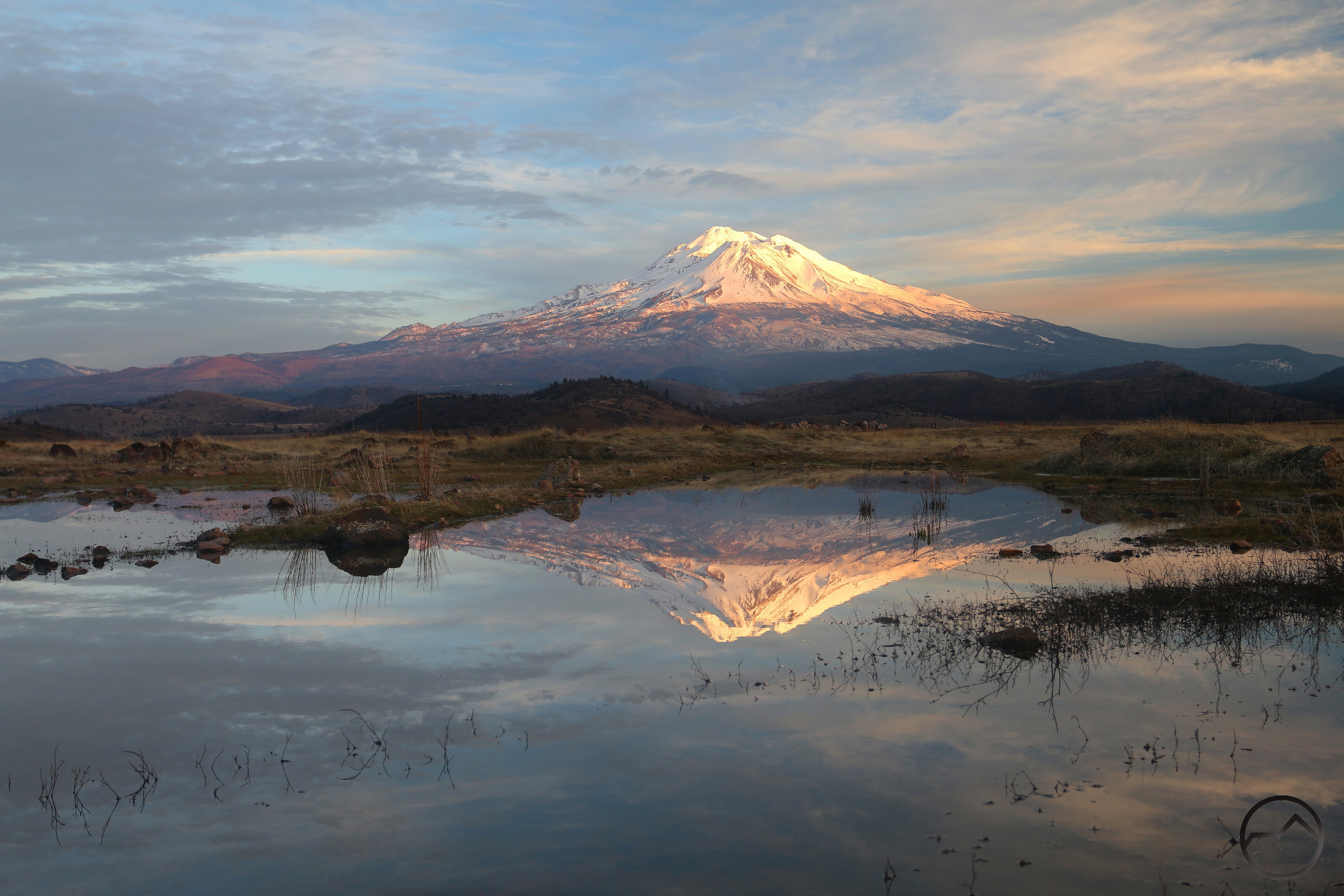
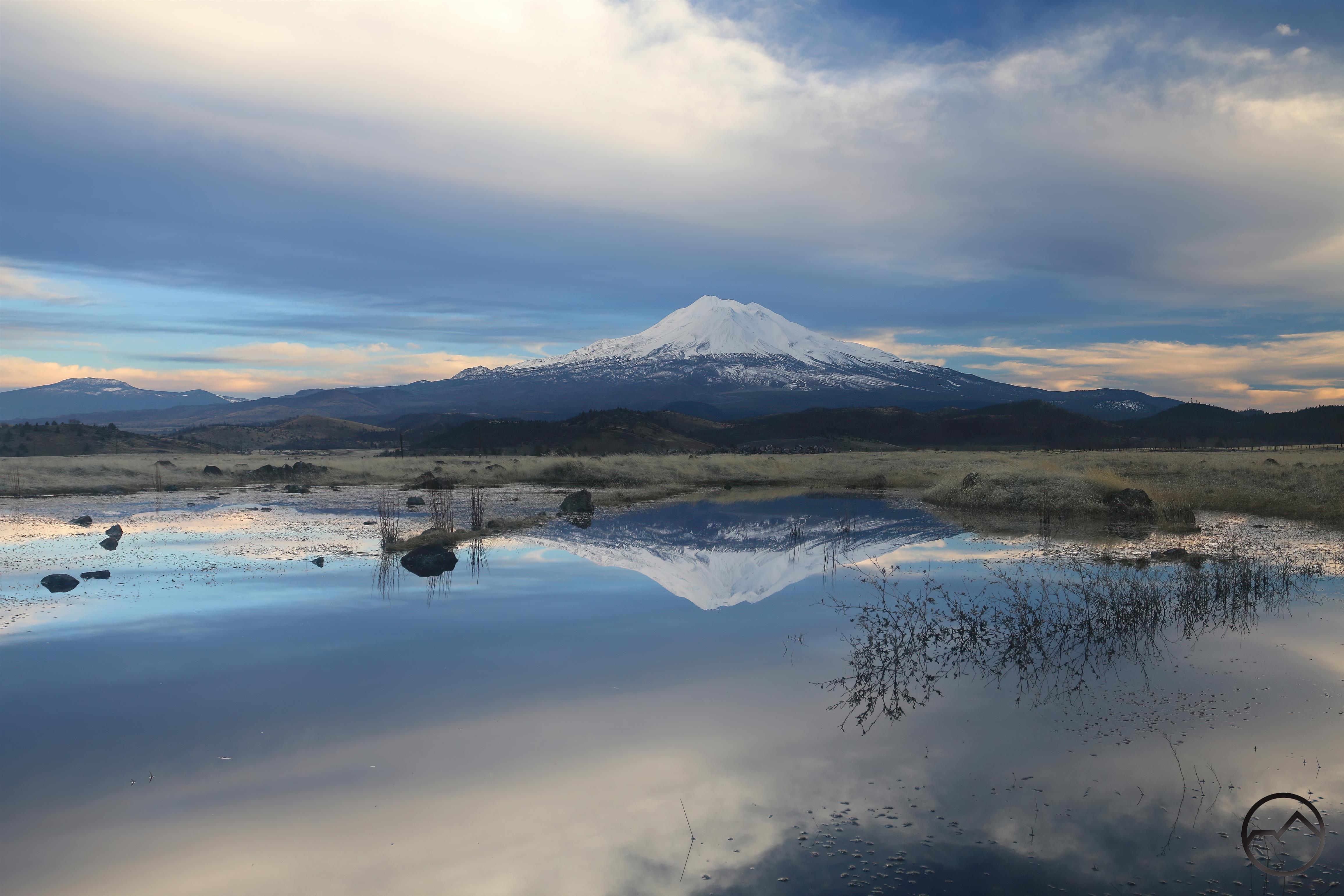
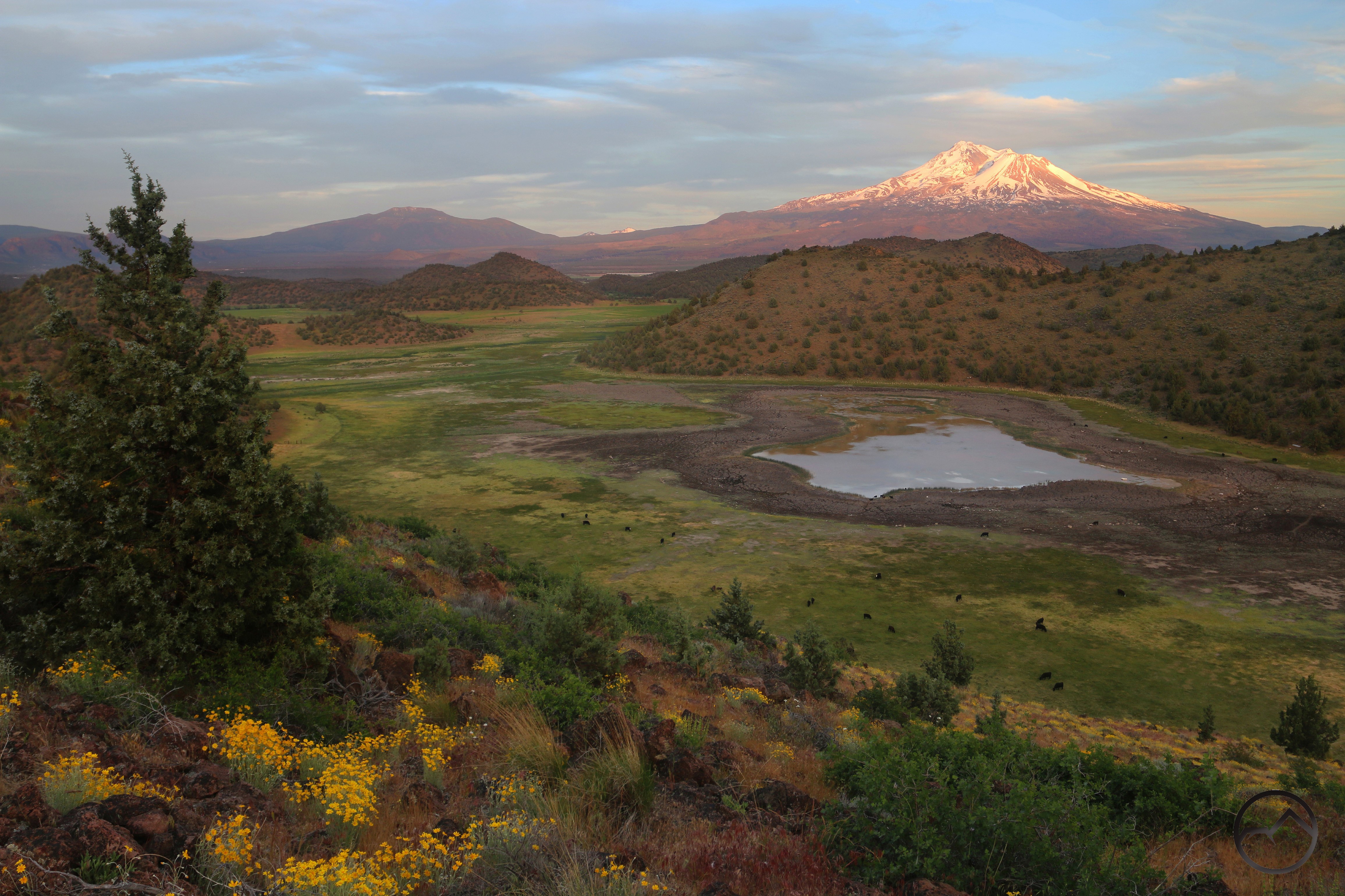
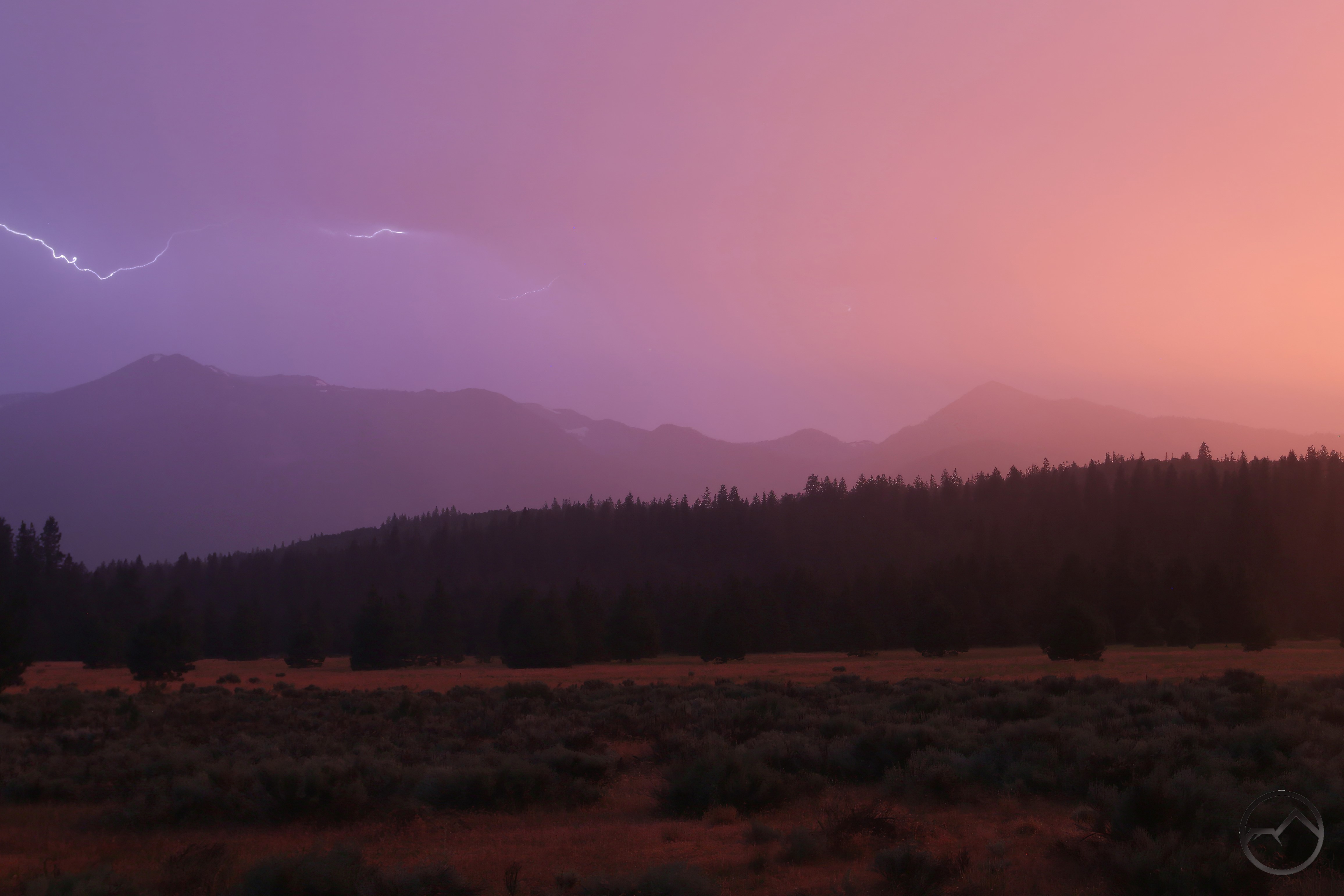
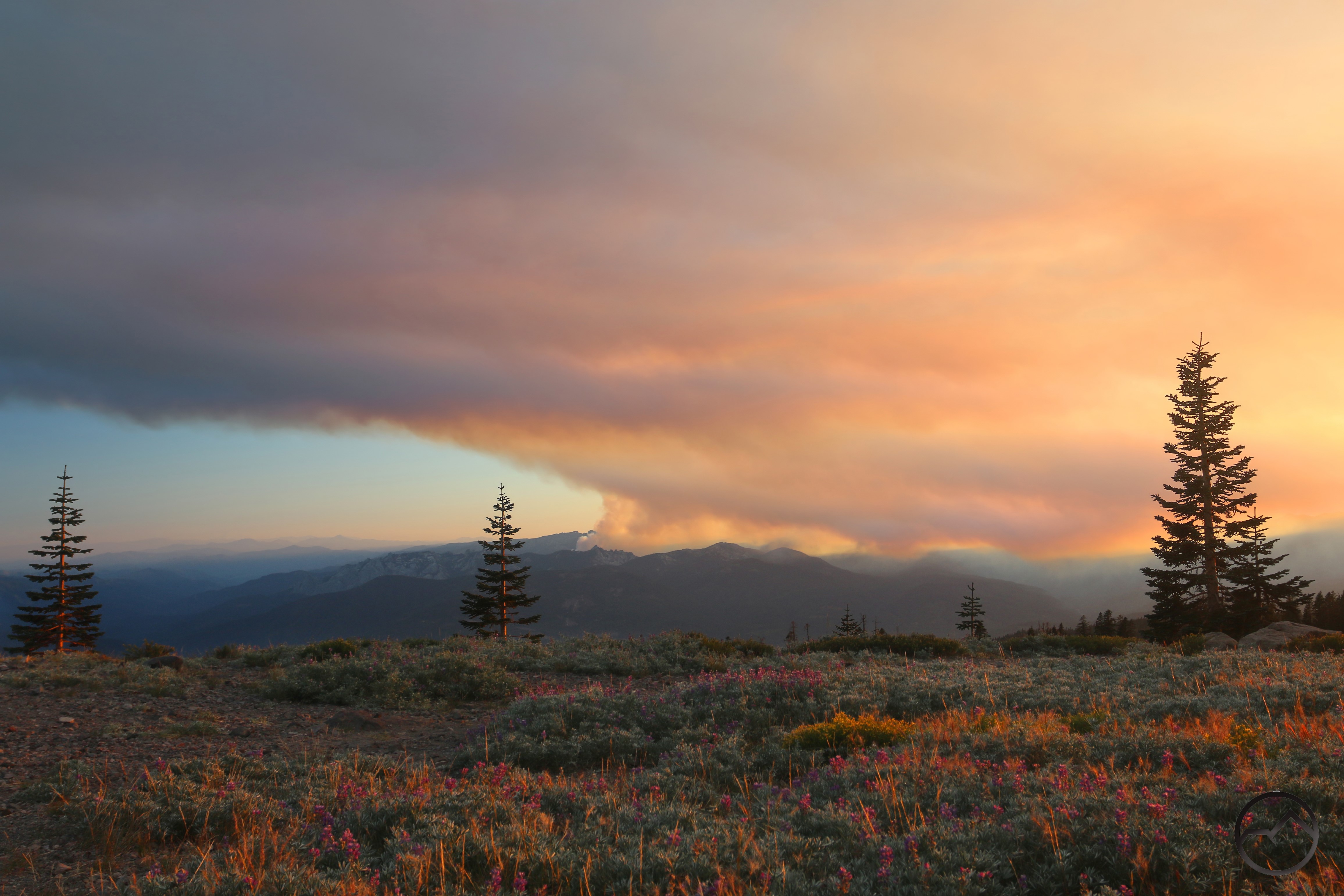
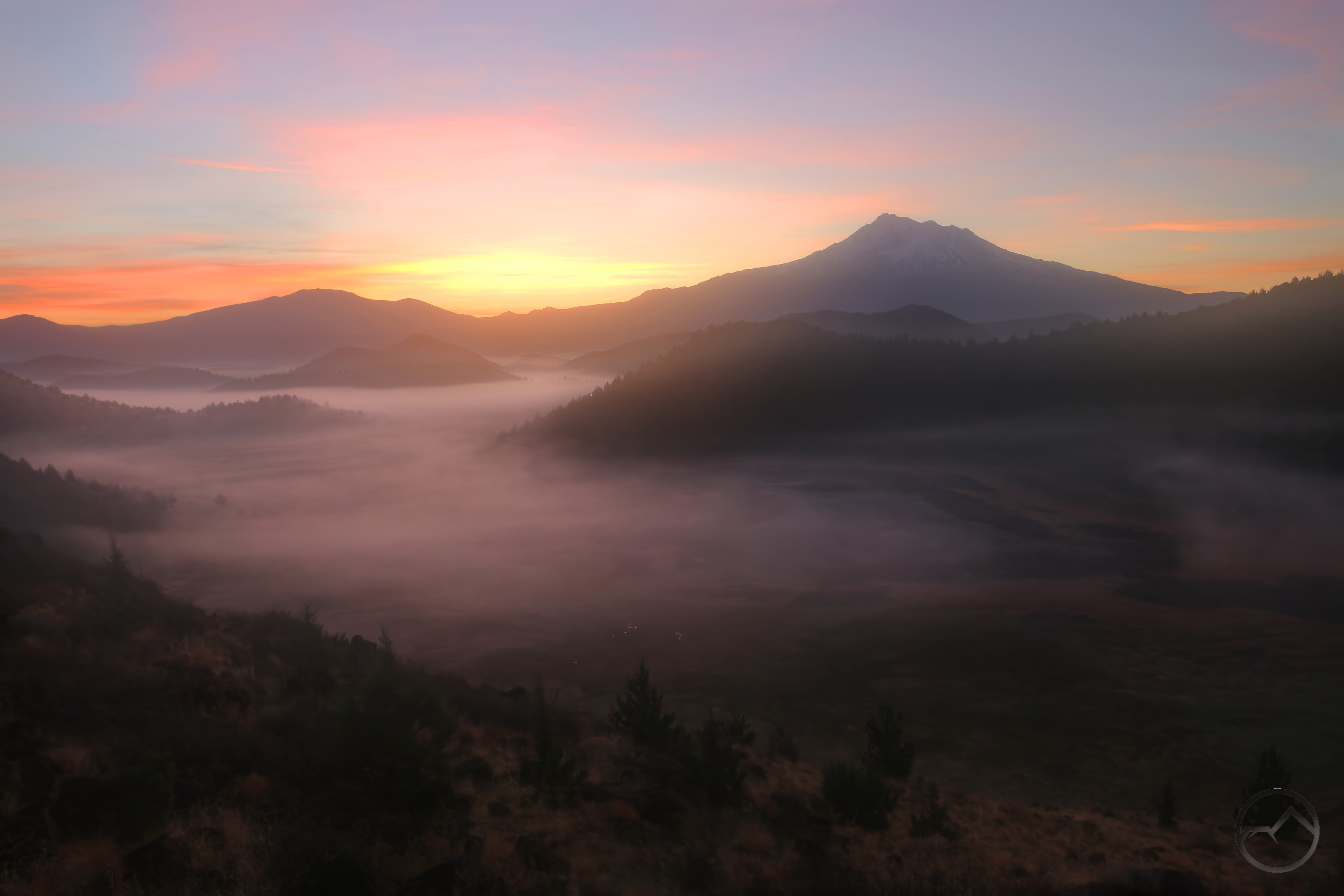
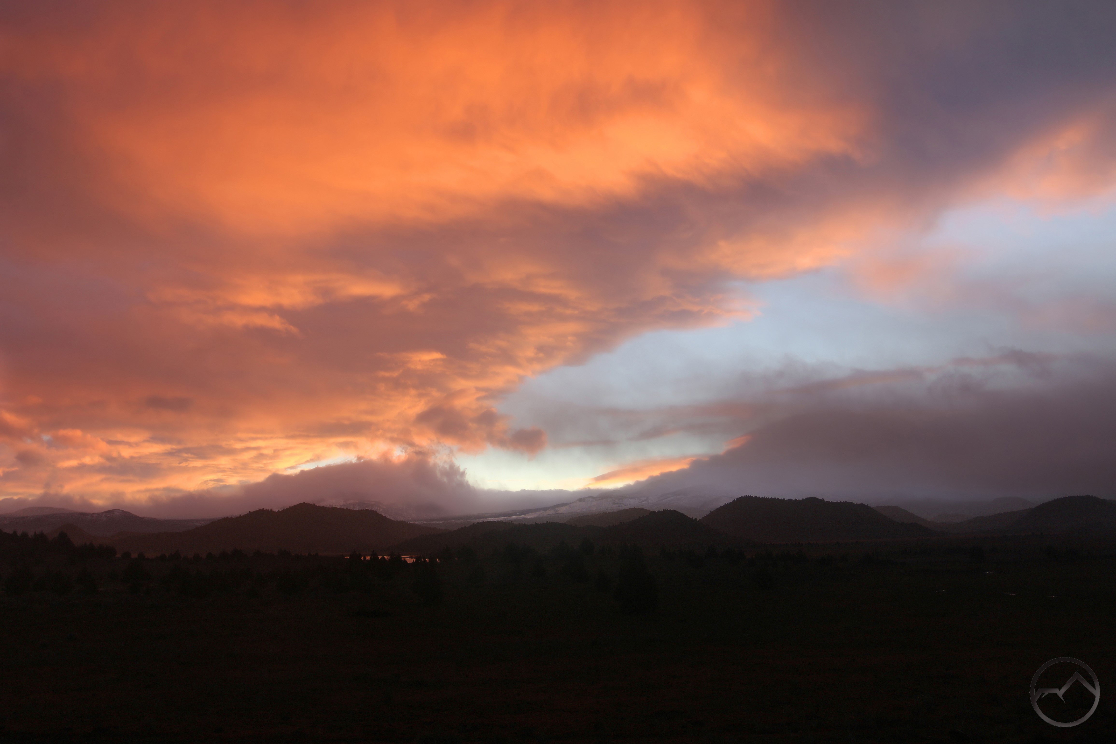
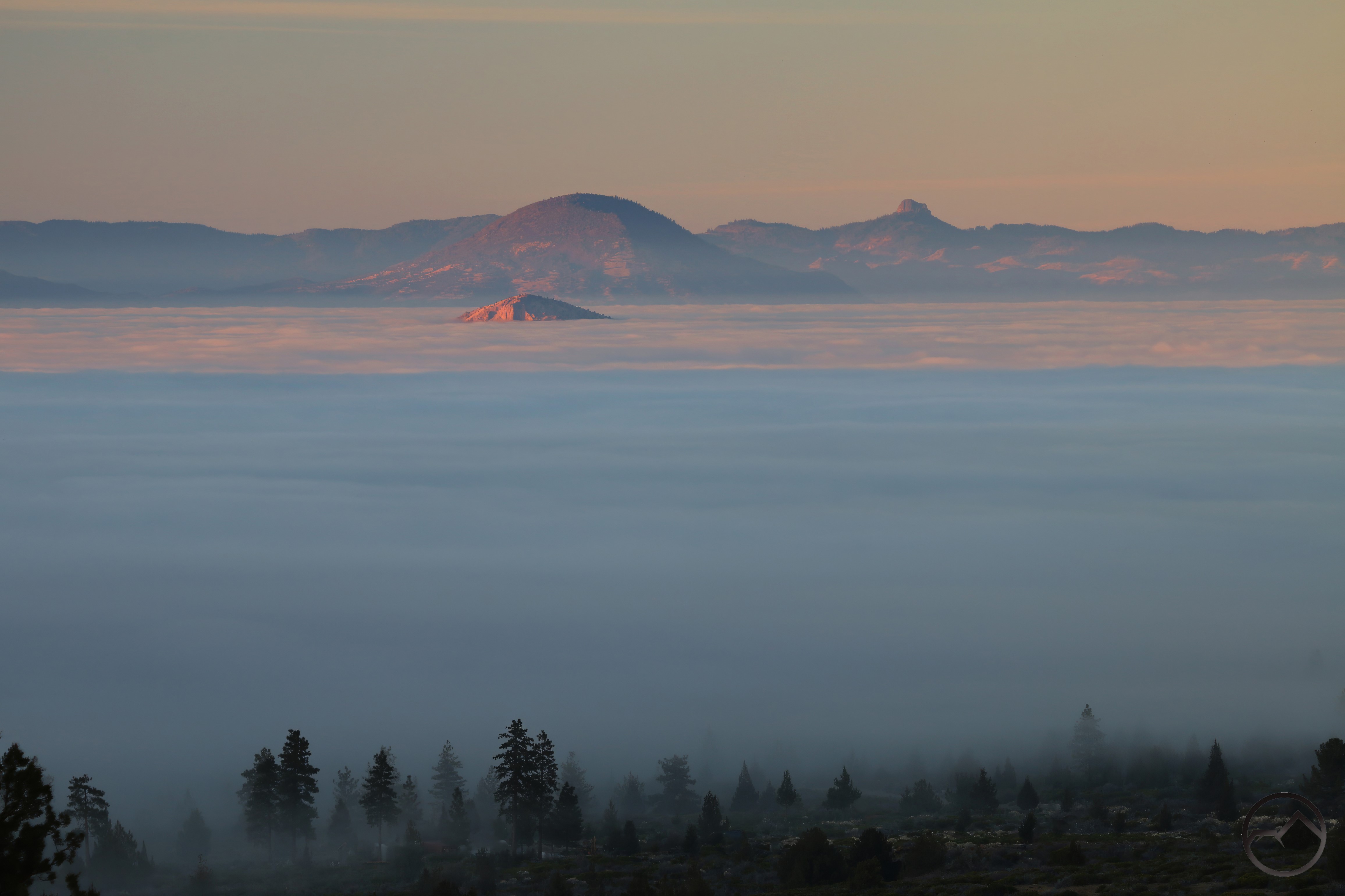
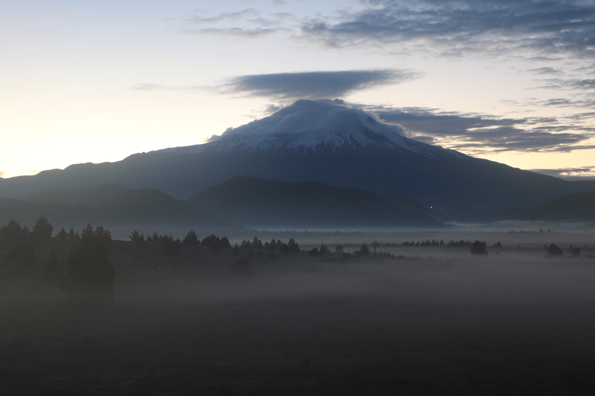
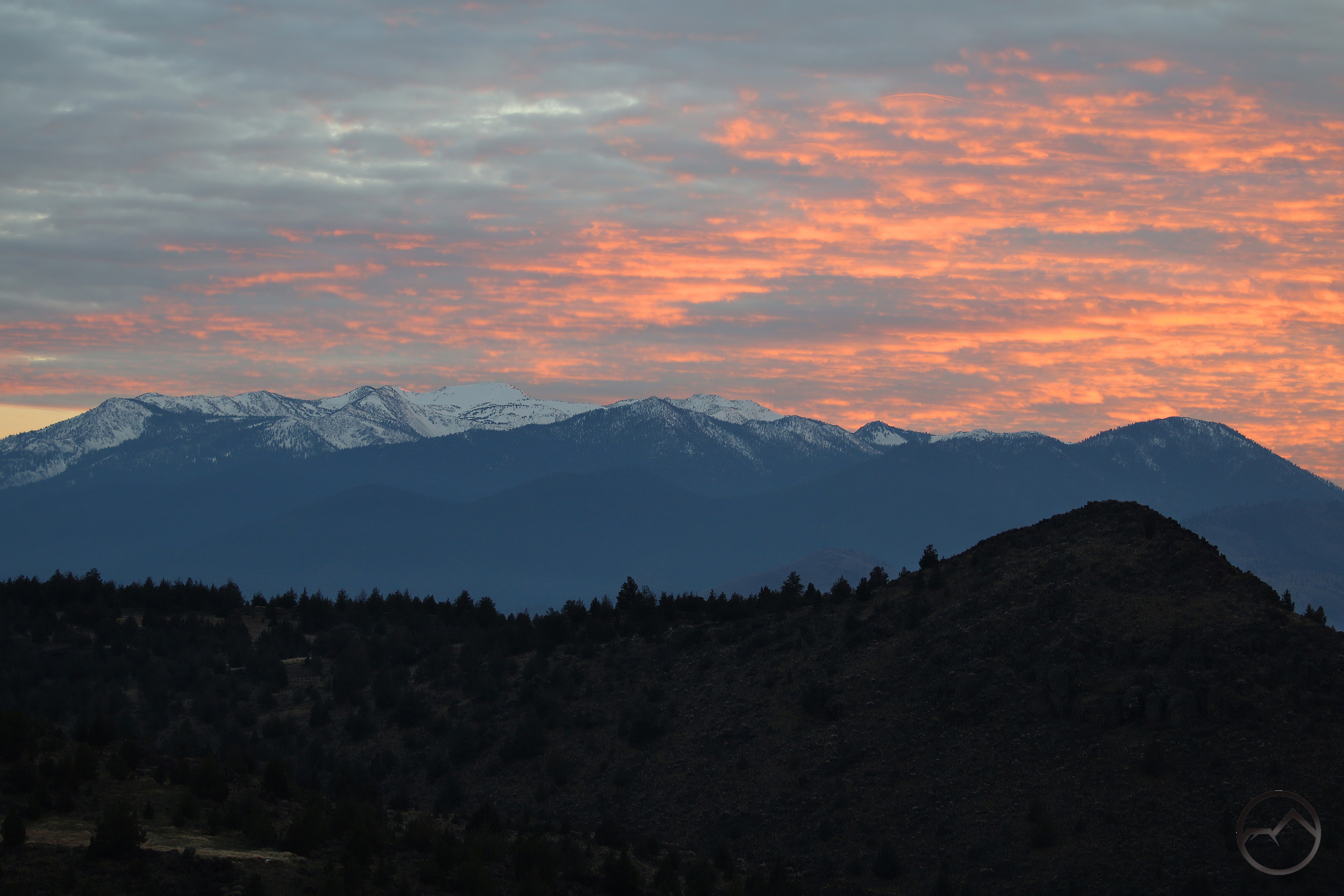
February started off with a little drama in the sky. The beginning of the month was a carry over from the exceedingly dry January we had. I go the above image while driving my son up to Klamath Falls for his hockey game. Hockey and a sunrise like that – it was a great day!
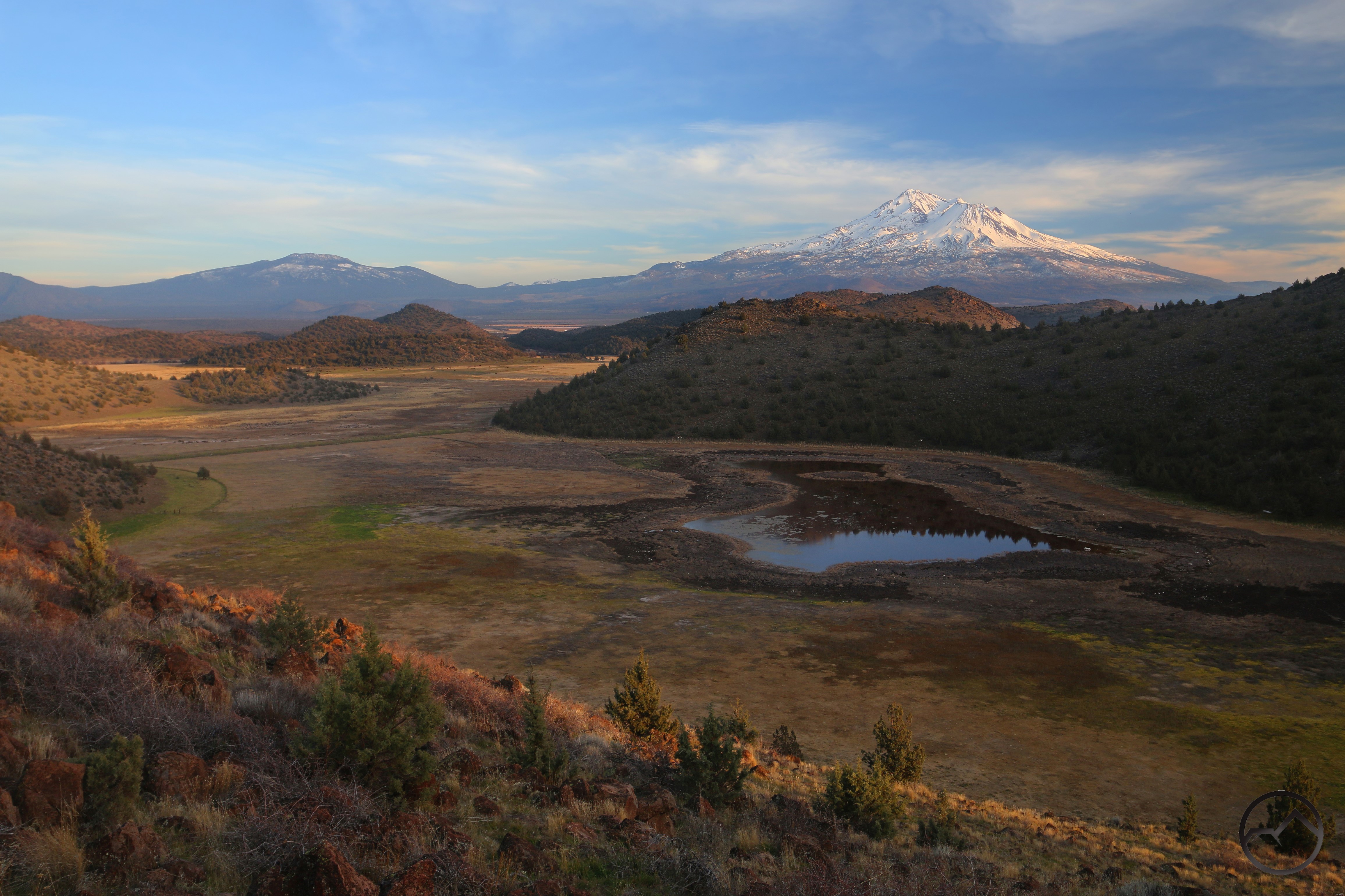
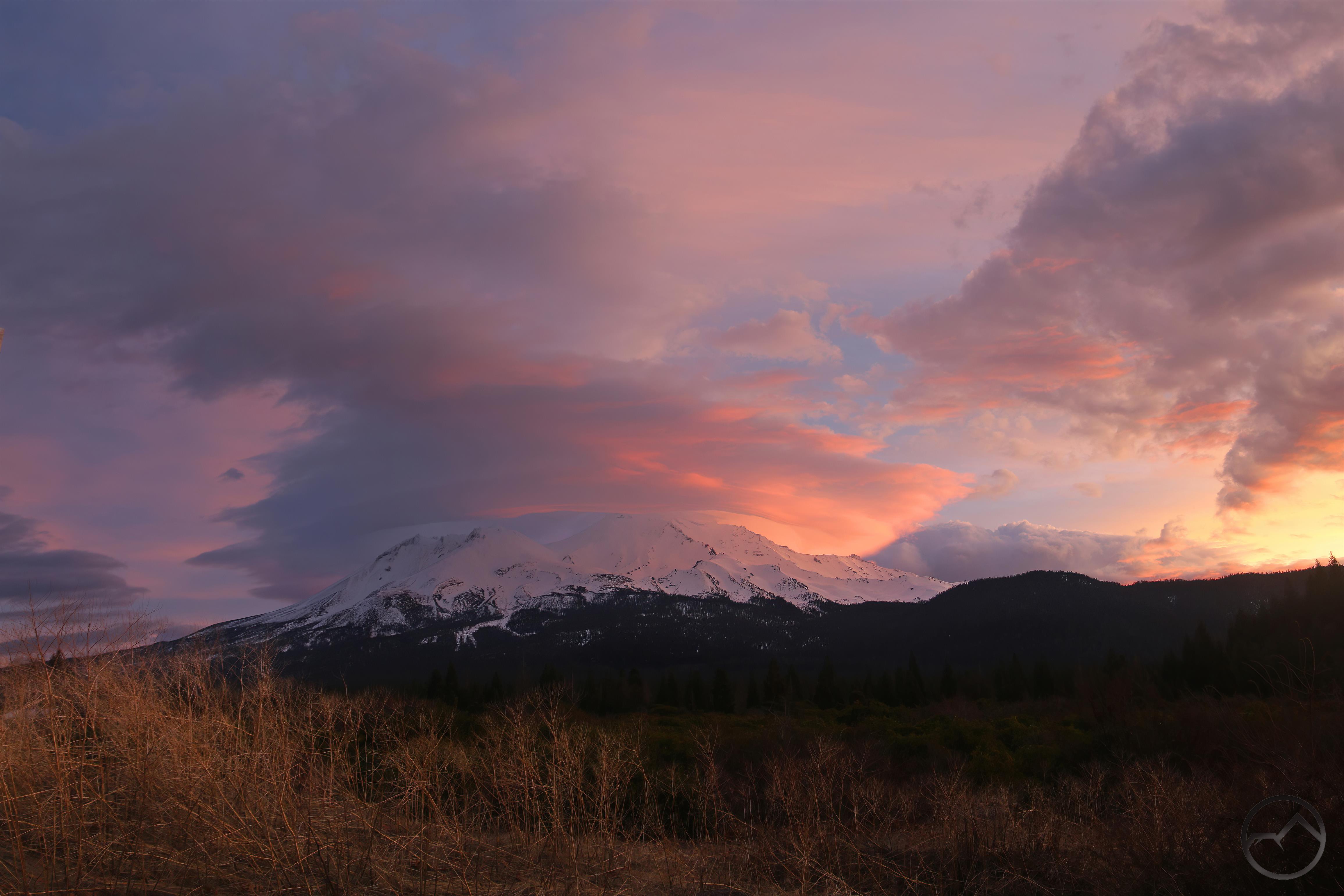
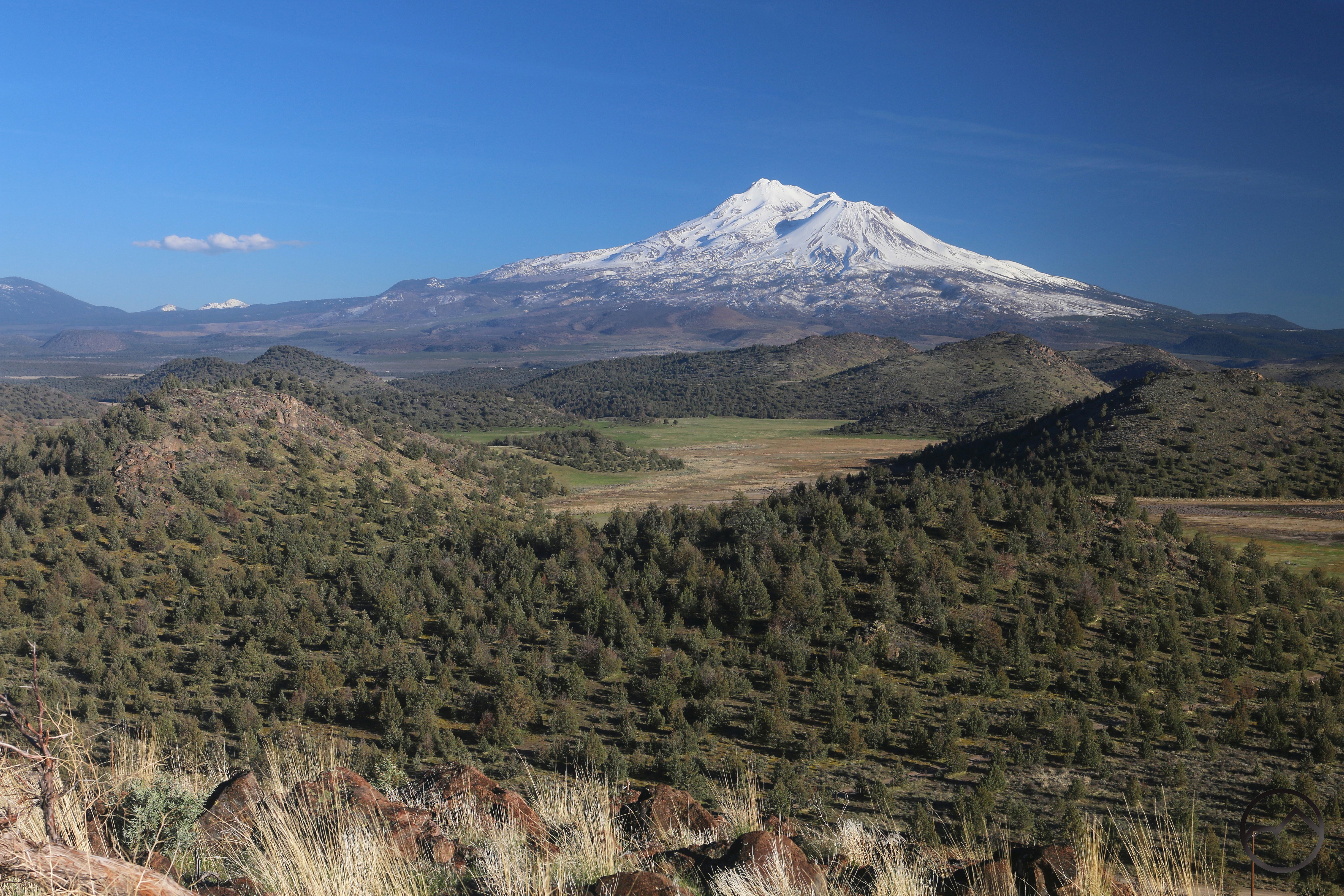
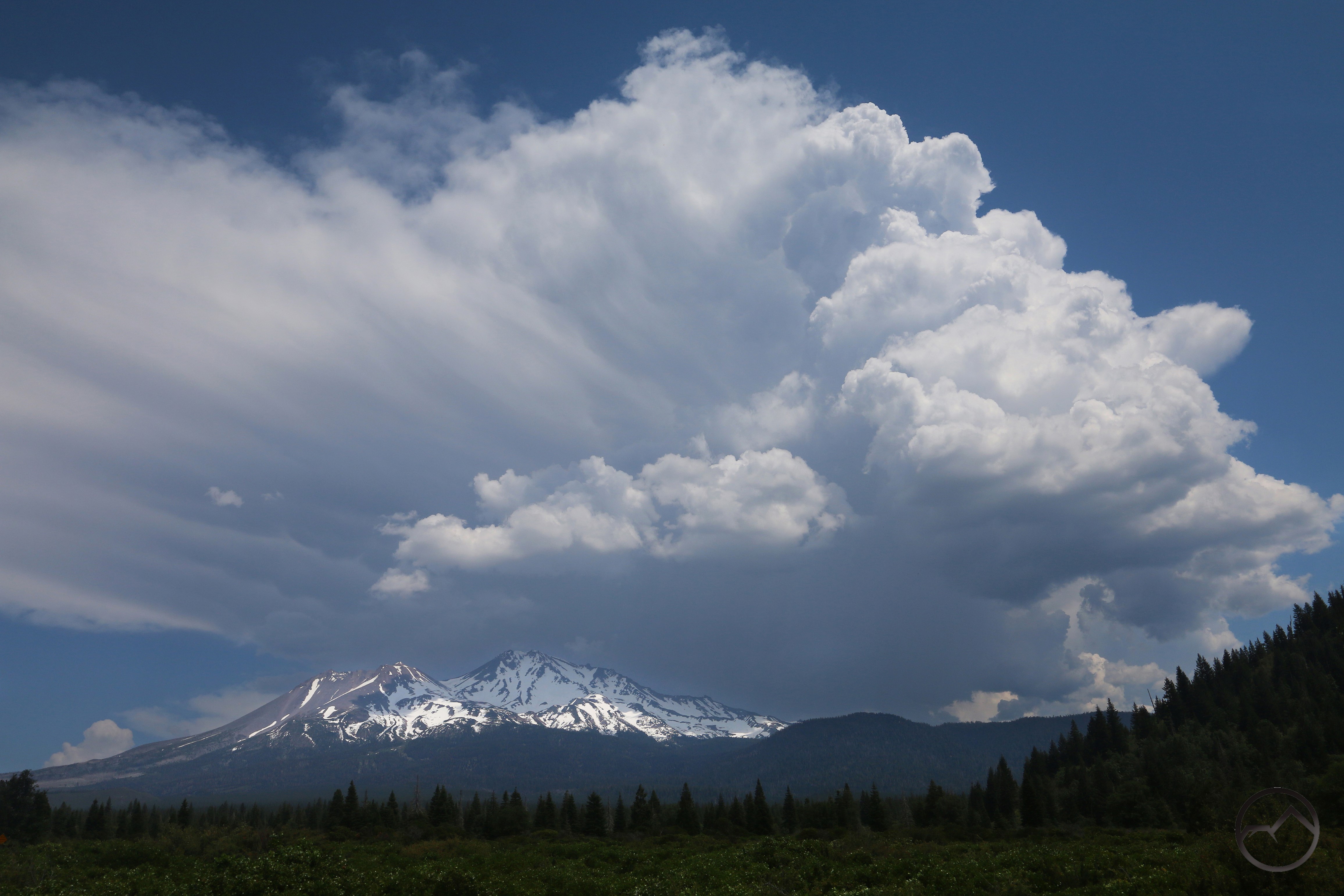
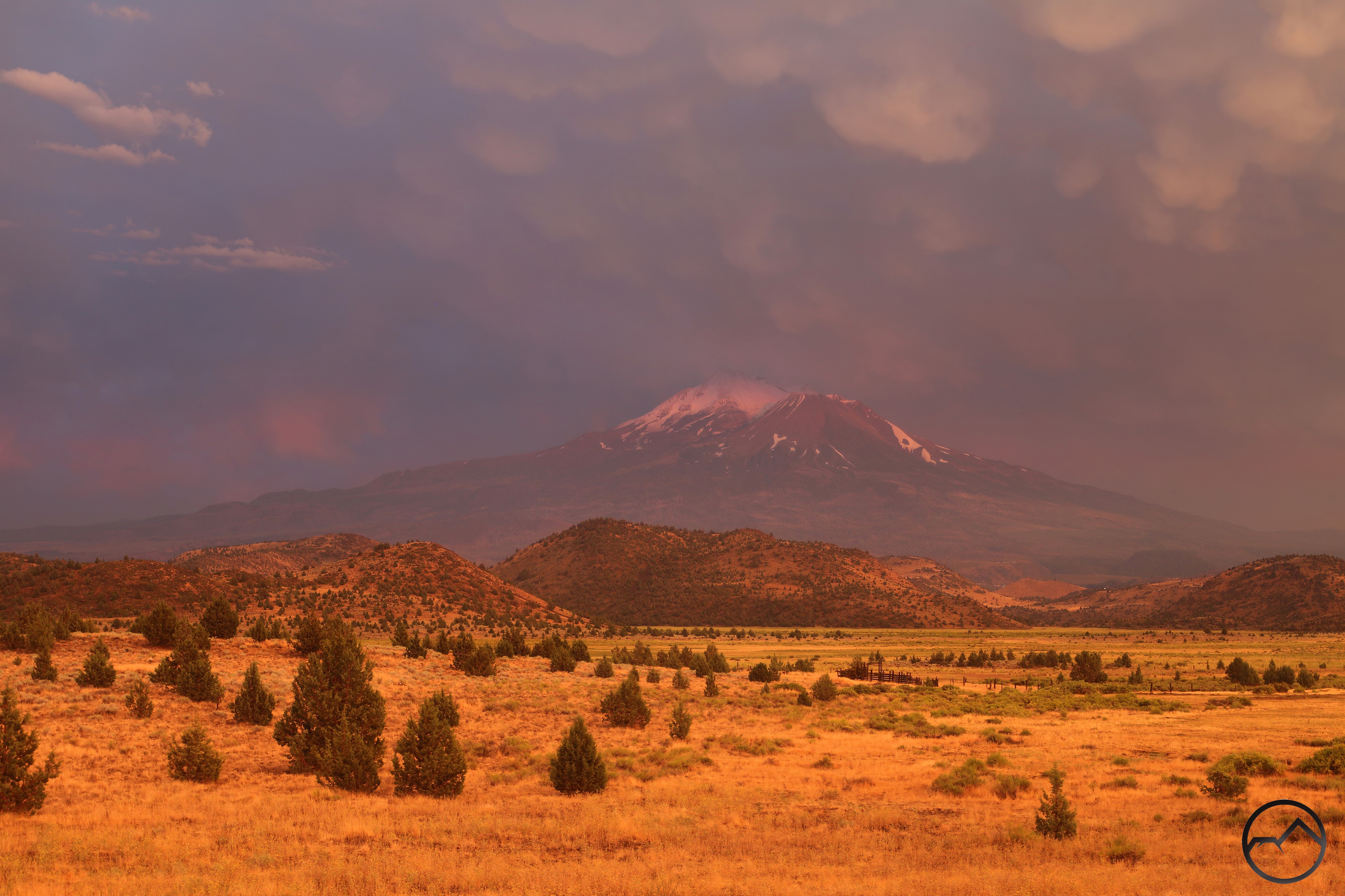
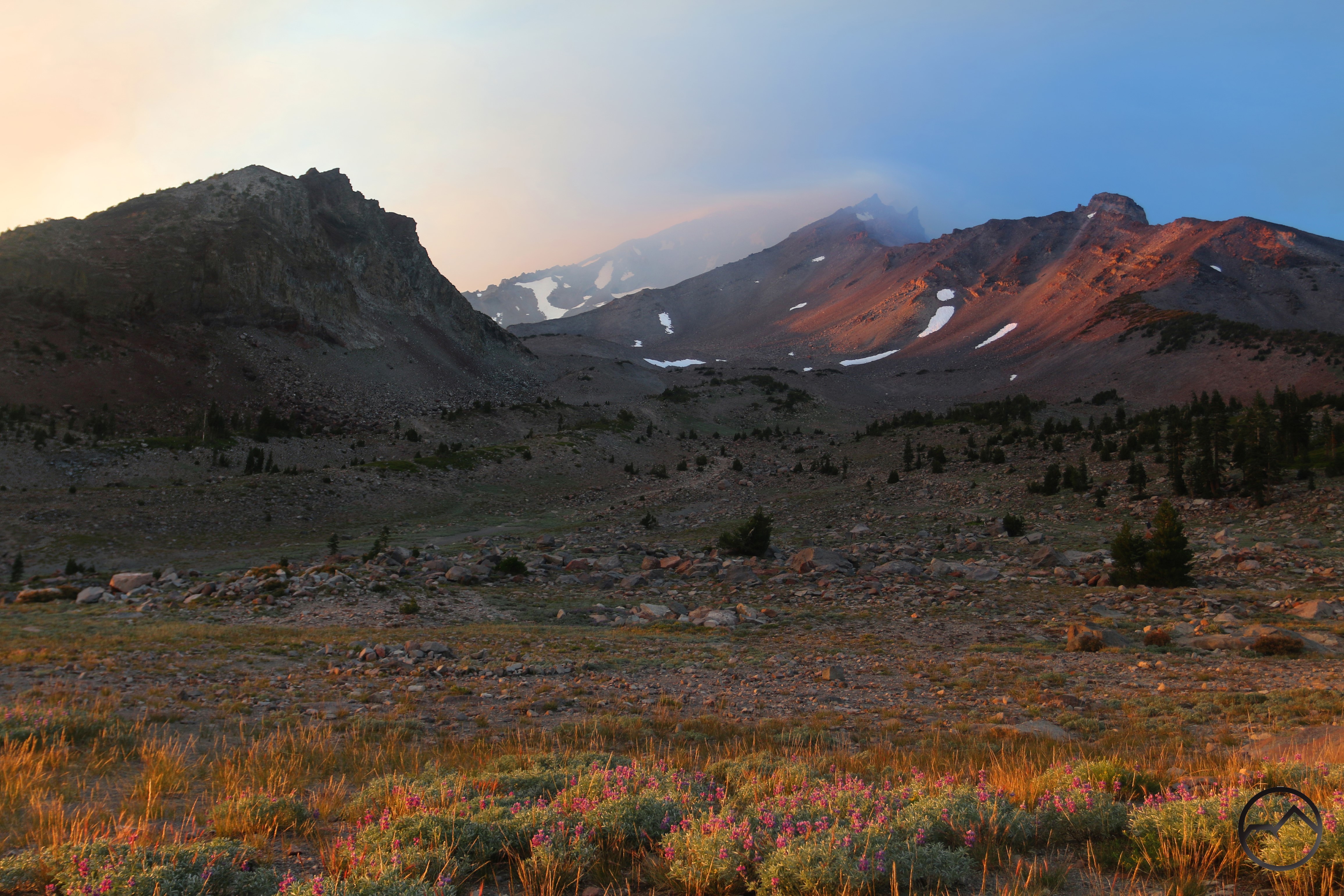
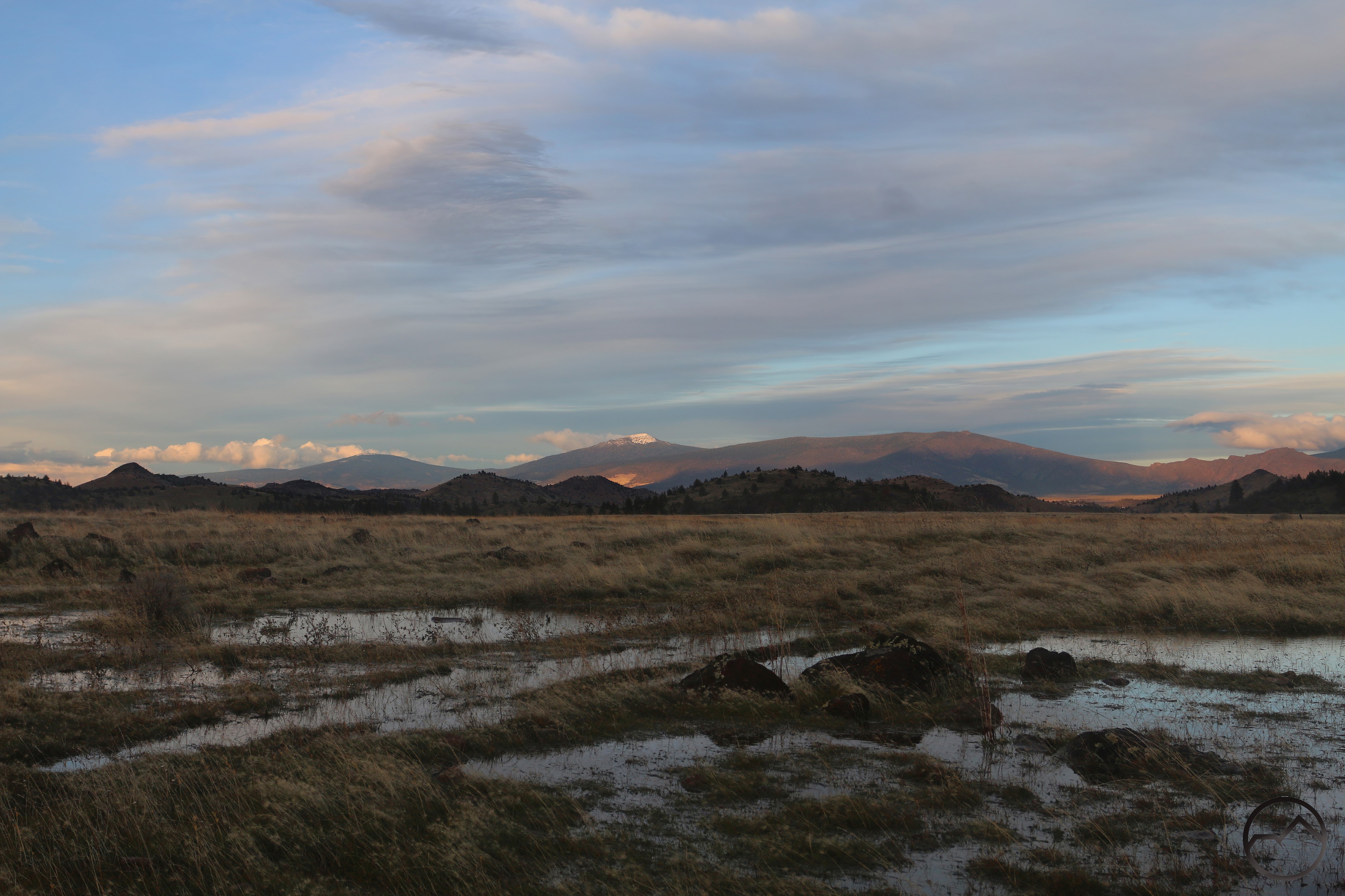
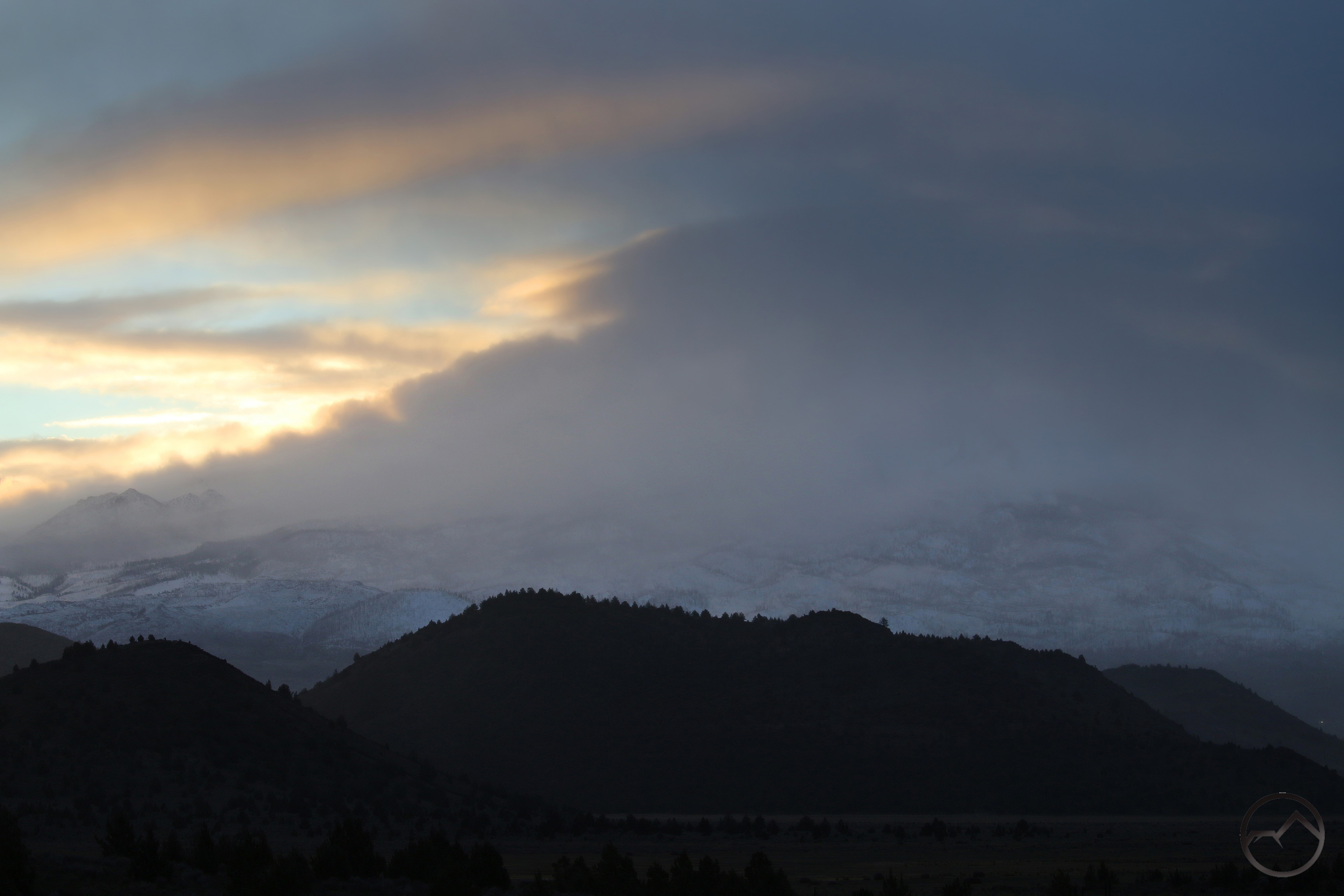
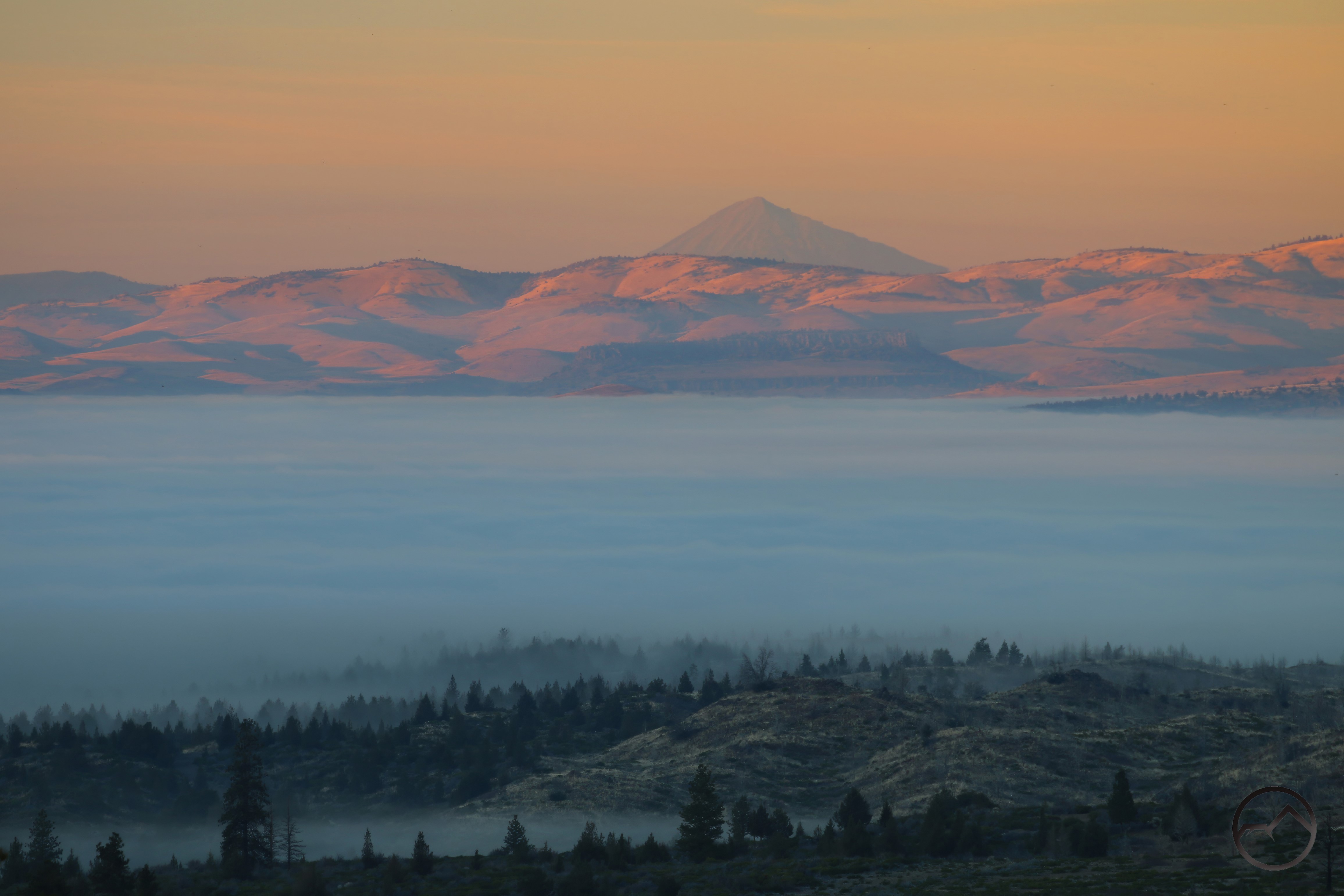
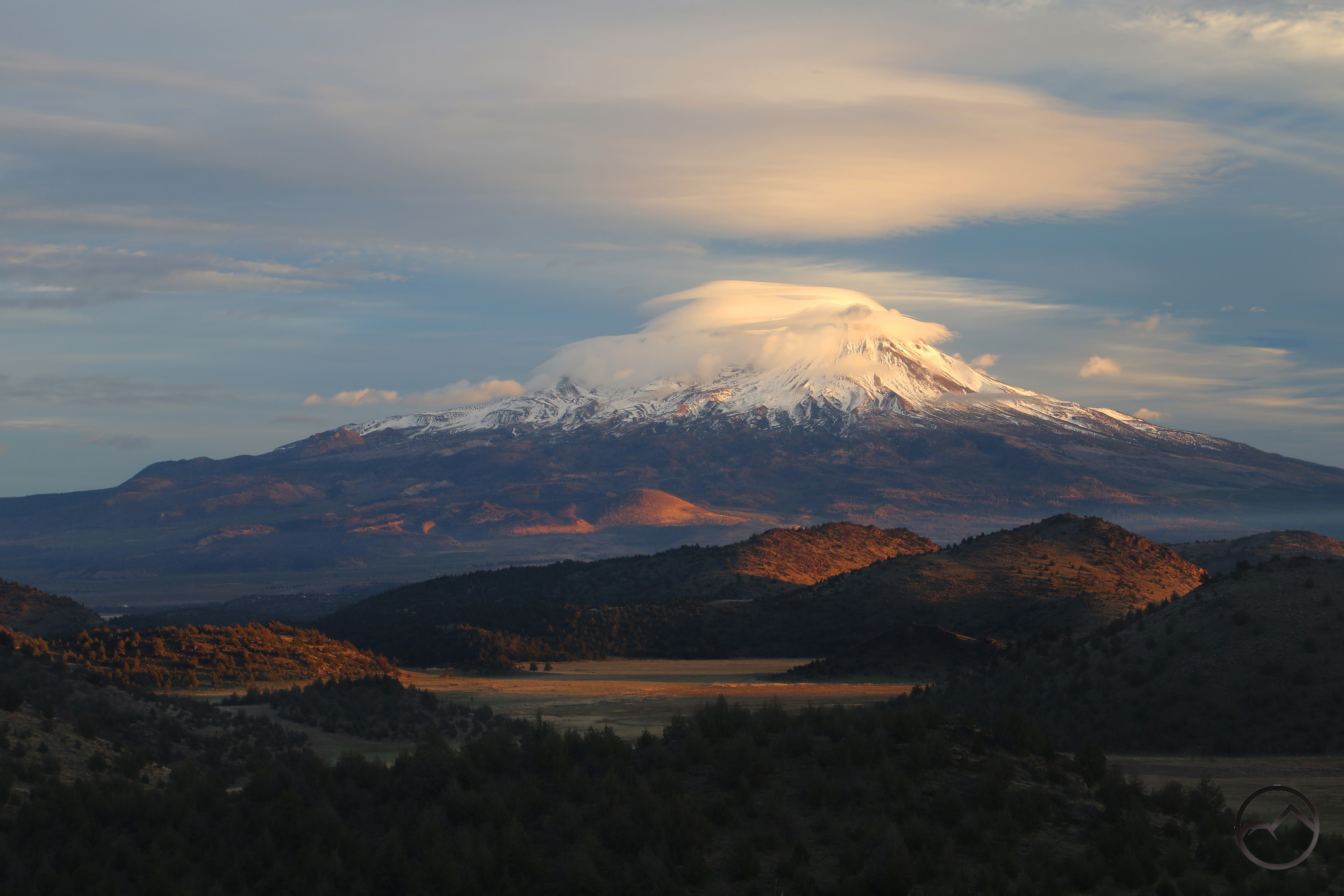
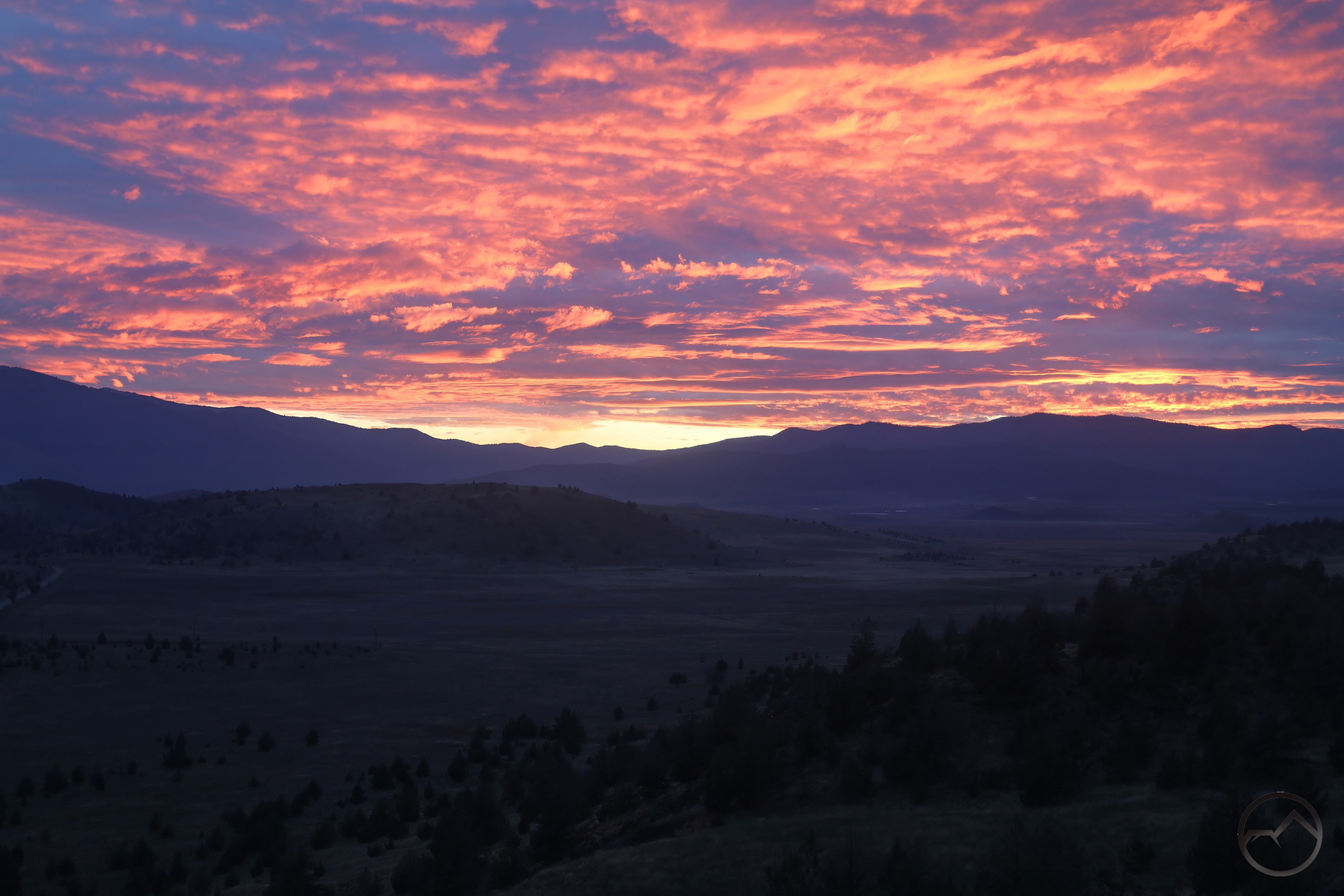
The dry month allowed Truchas Ridge to dry out a bit. It wasn’t a complete mudfest like what I got myself into in January. The day looked like the sunset could be magnificent but as has so often been the case, the sky just cleared out before sunset. A beautiful time to watch the mountain nonetheless!
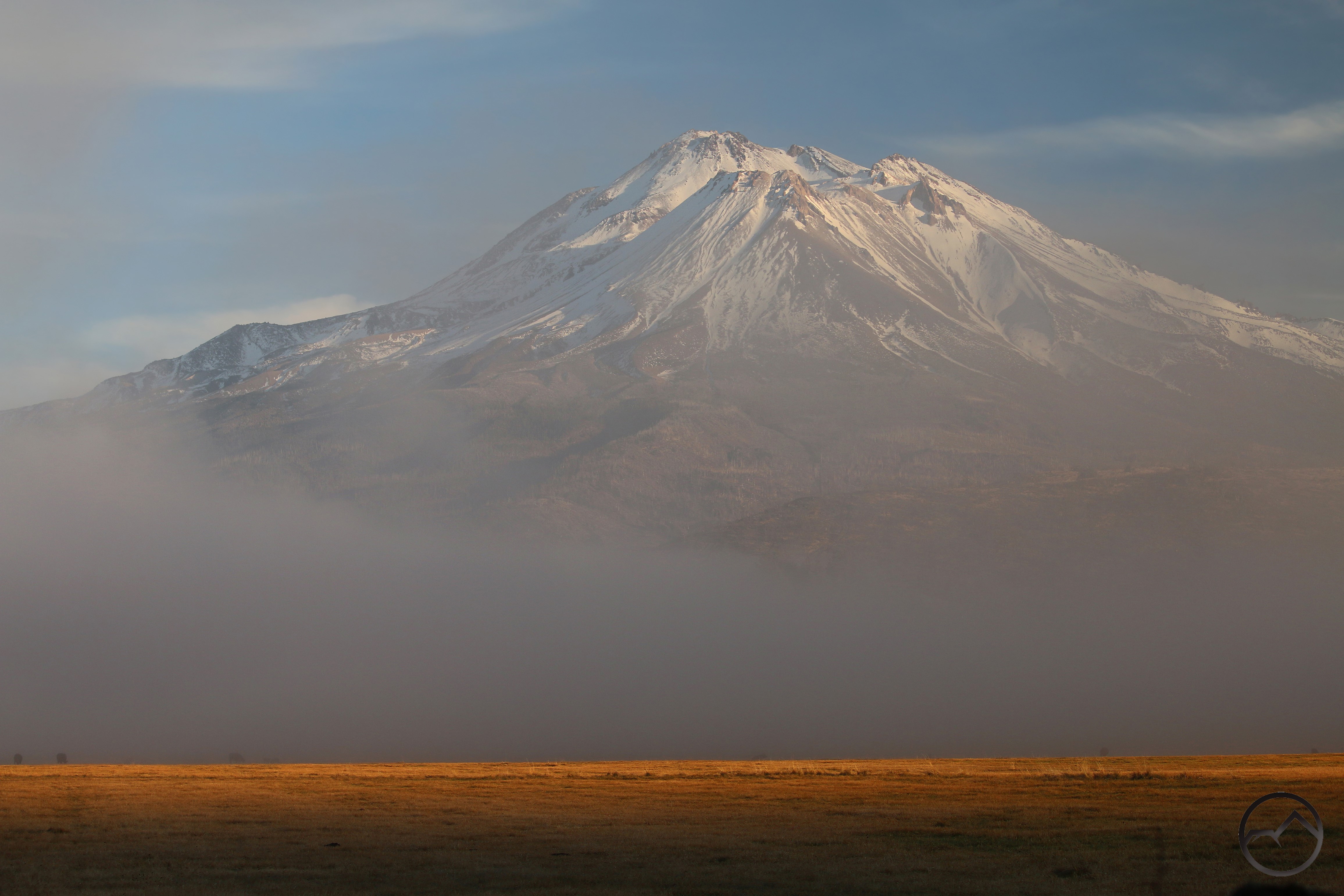
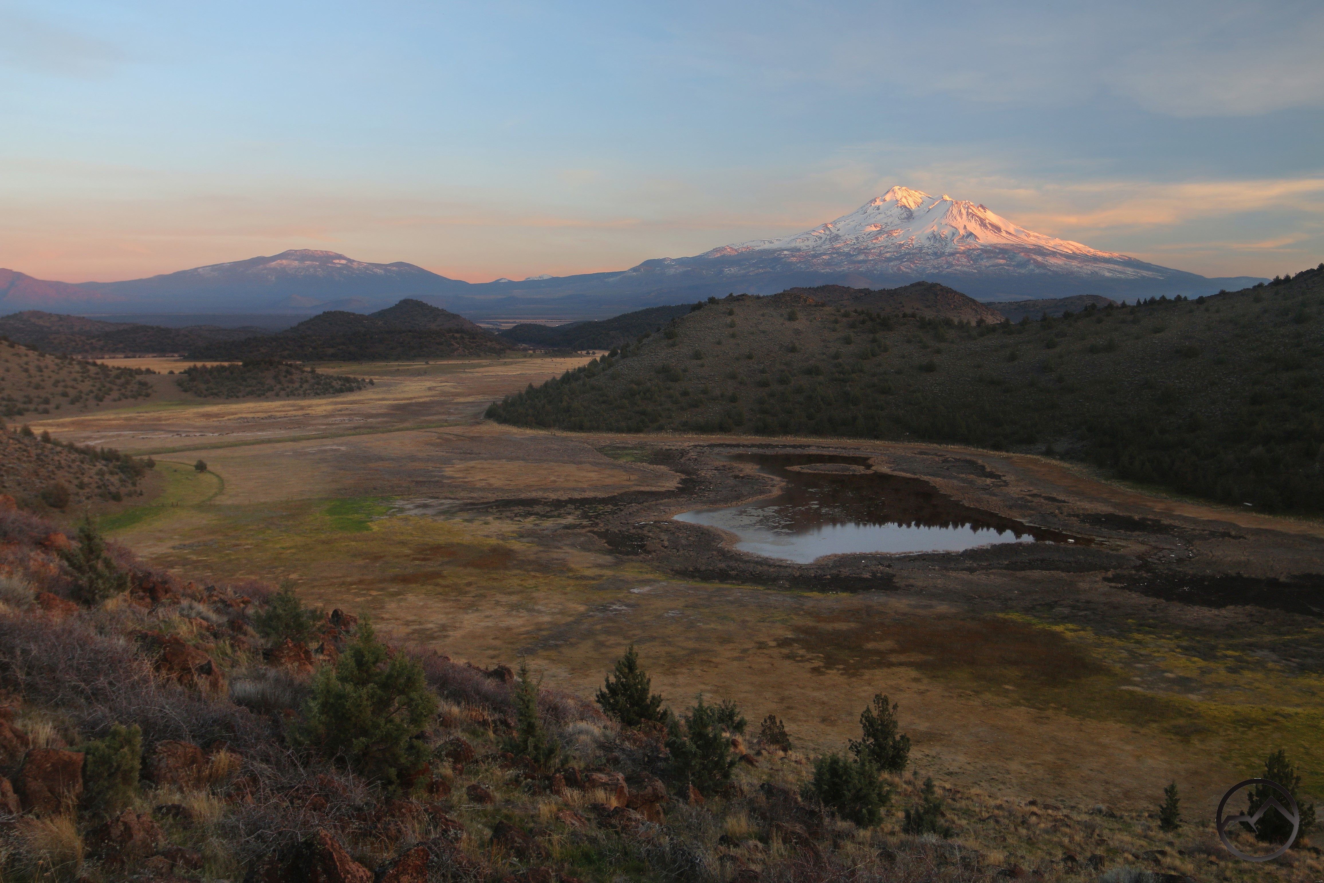
I tried a few more times from the valley over the next few days, but conditions never just got to that point where it was truly astounding. It was only just…mildly astounding. I guess that means it was still pretty great. Even a lackluster sunset on Mount Shasta is still pretty incredible.
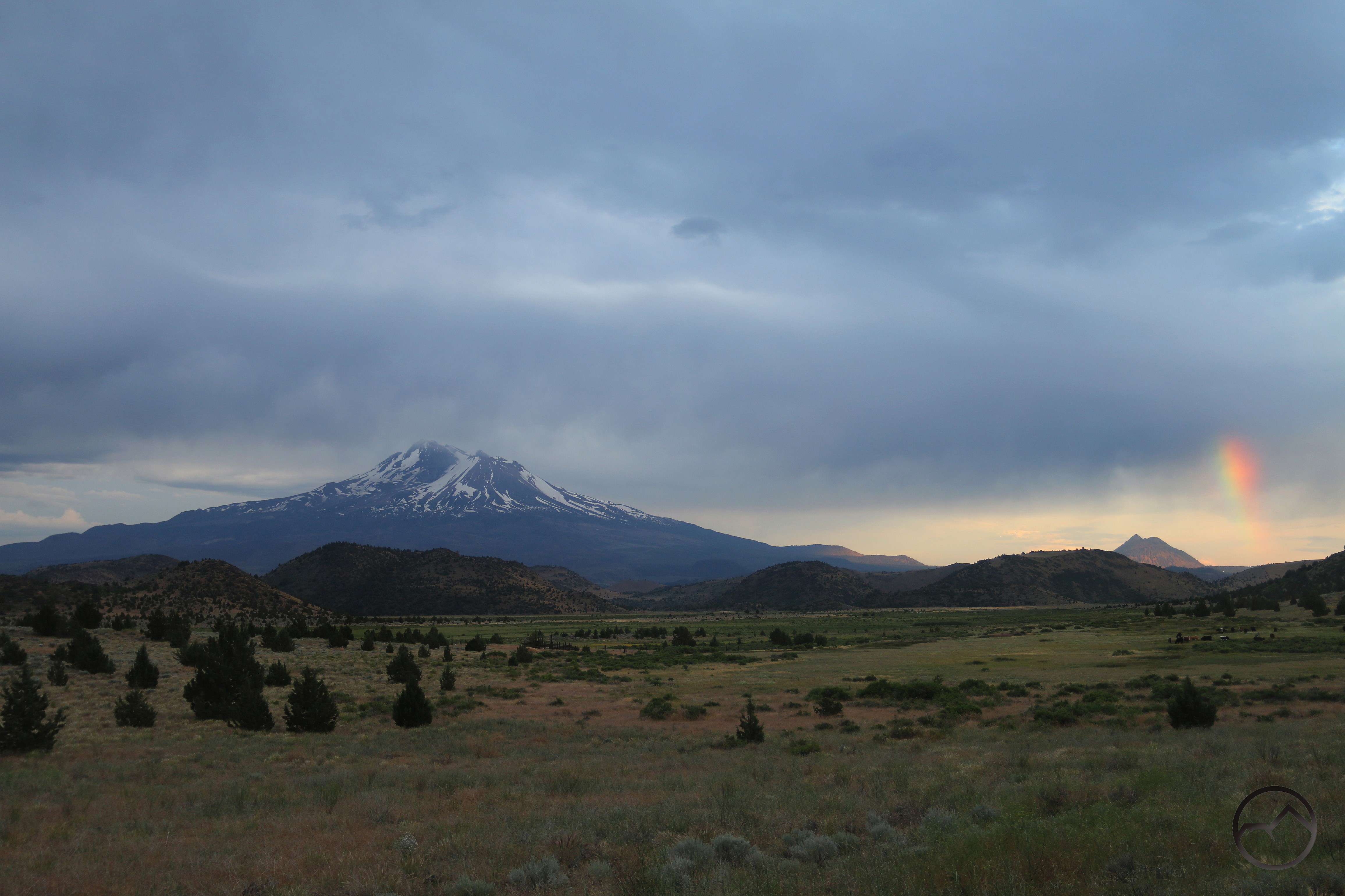
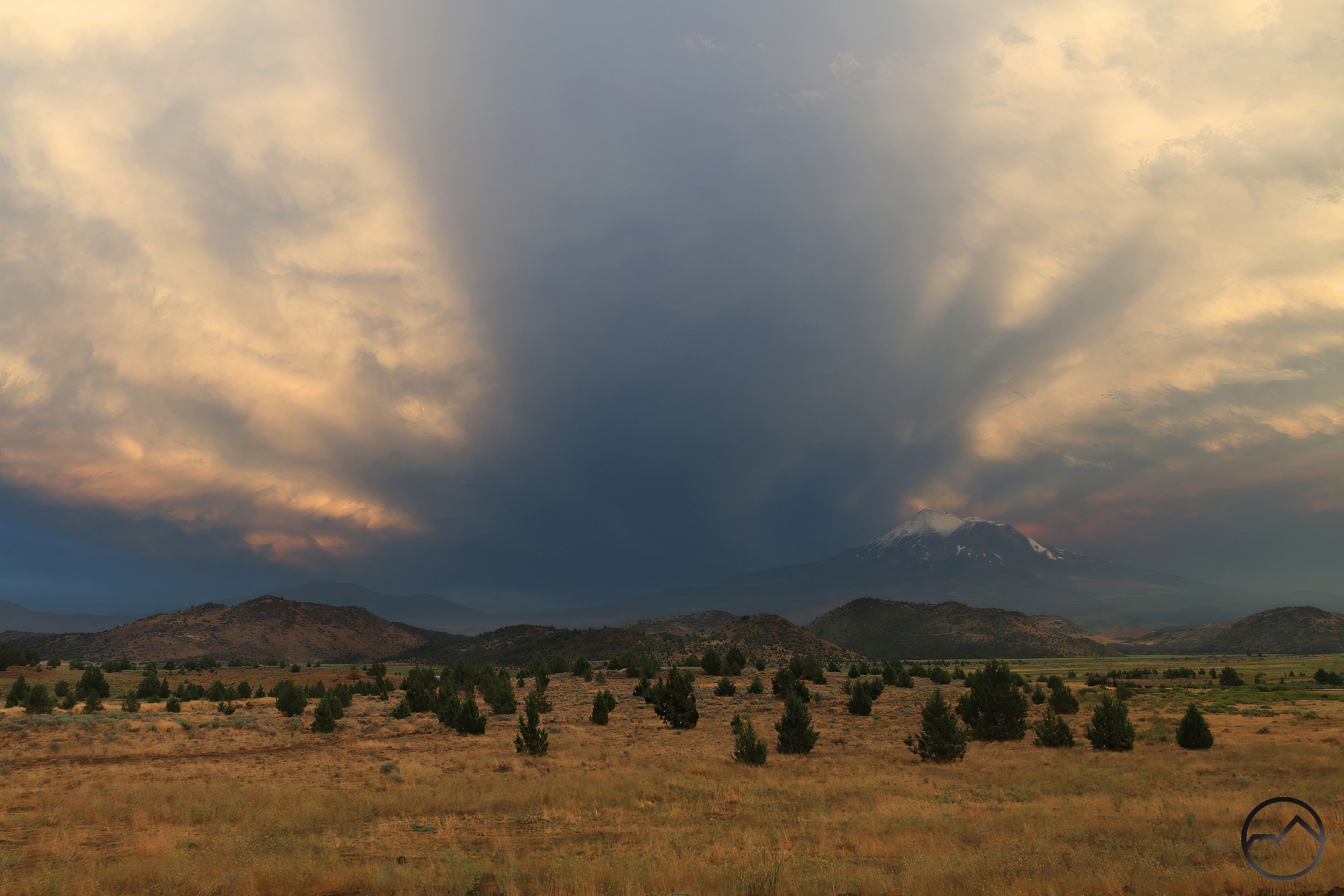
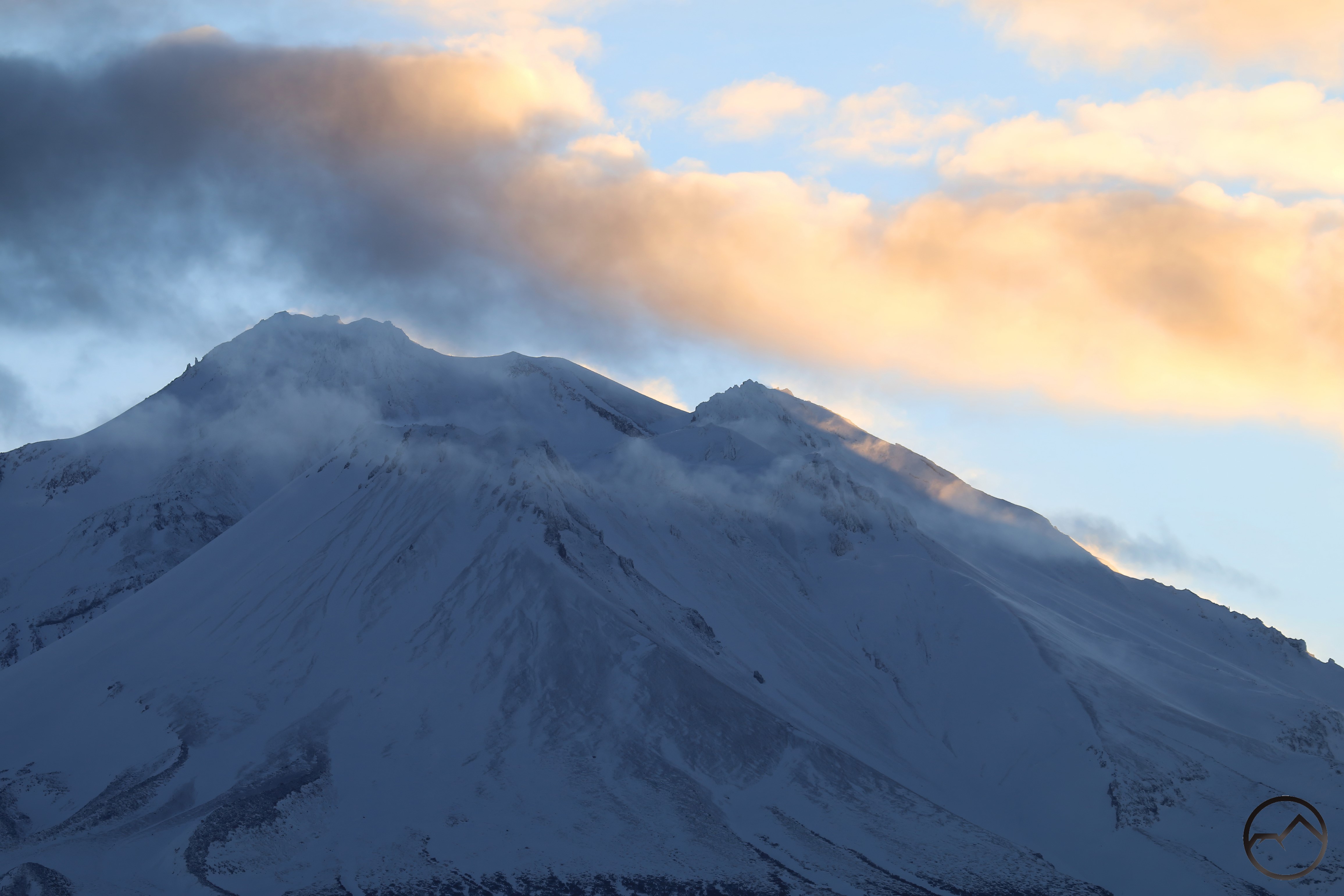
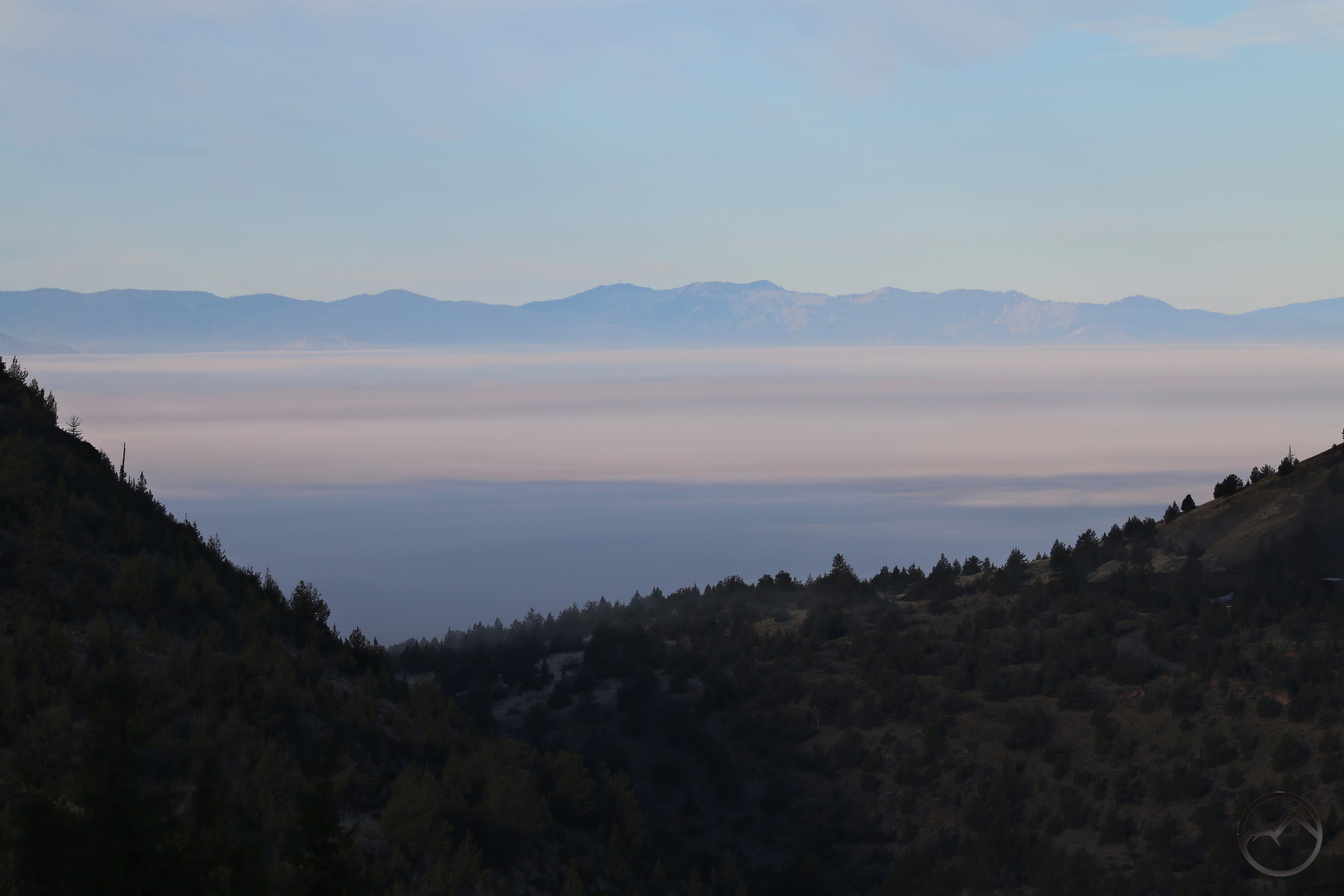
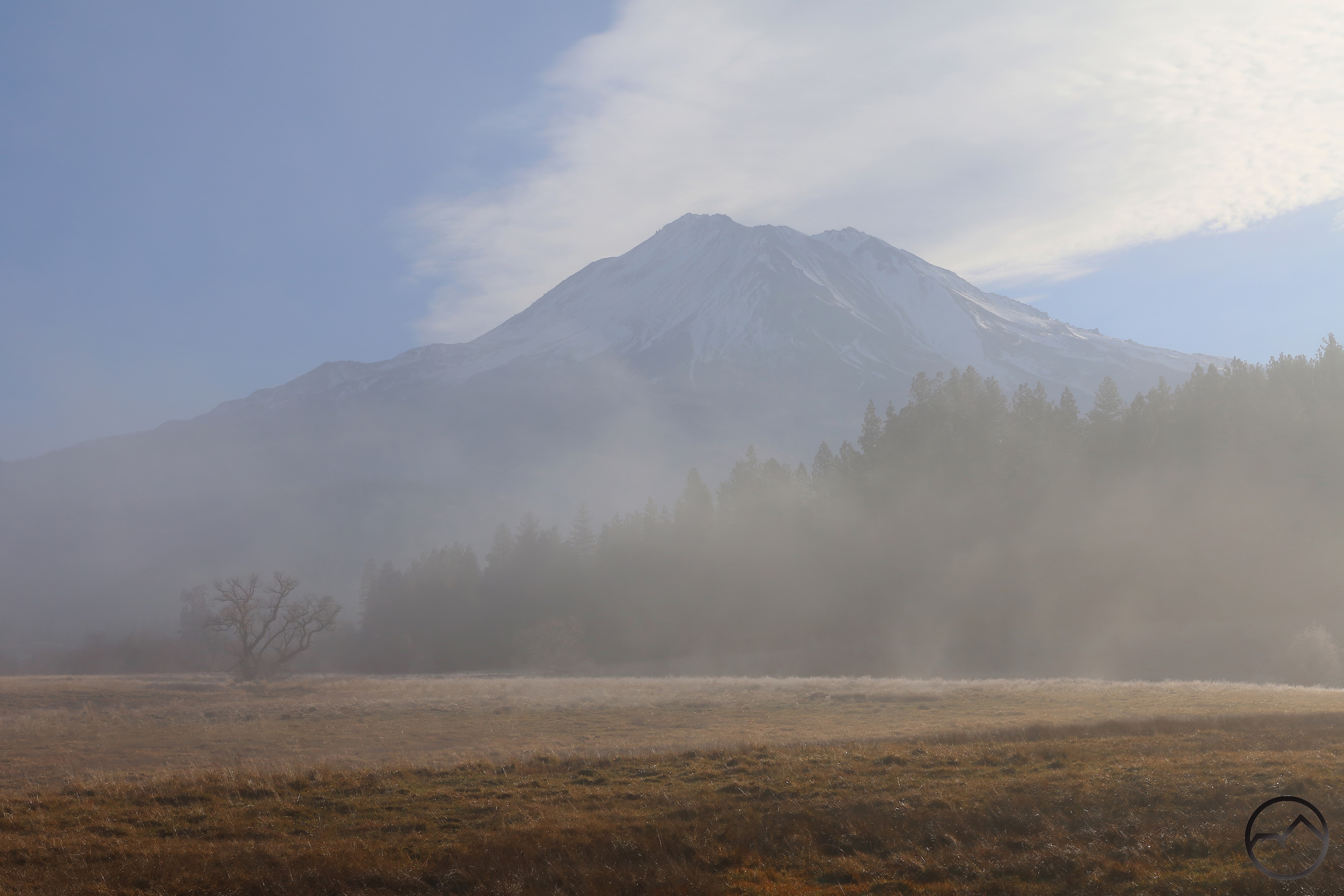
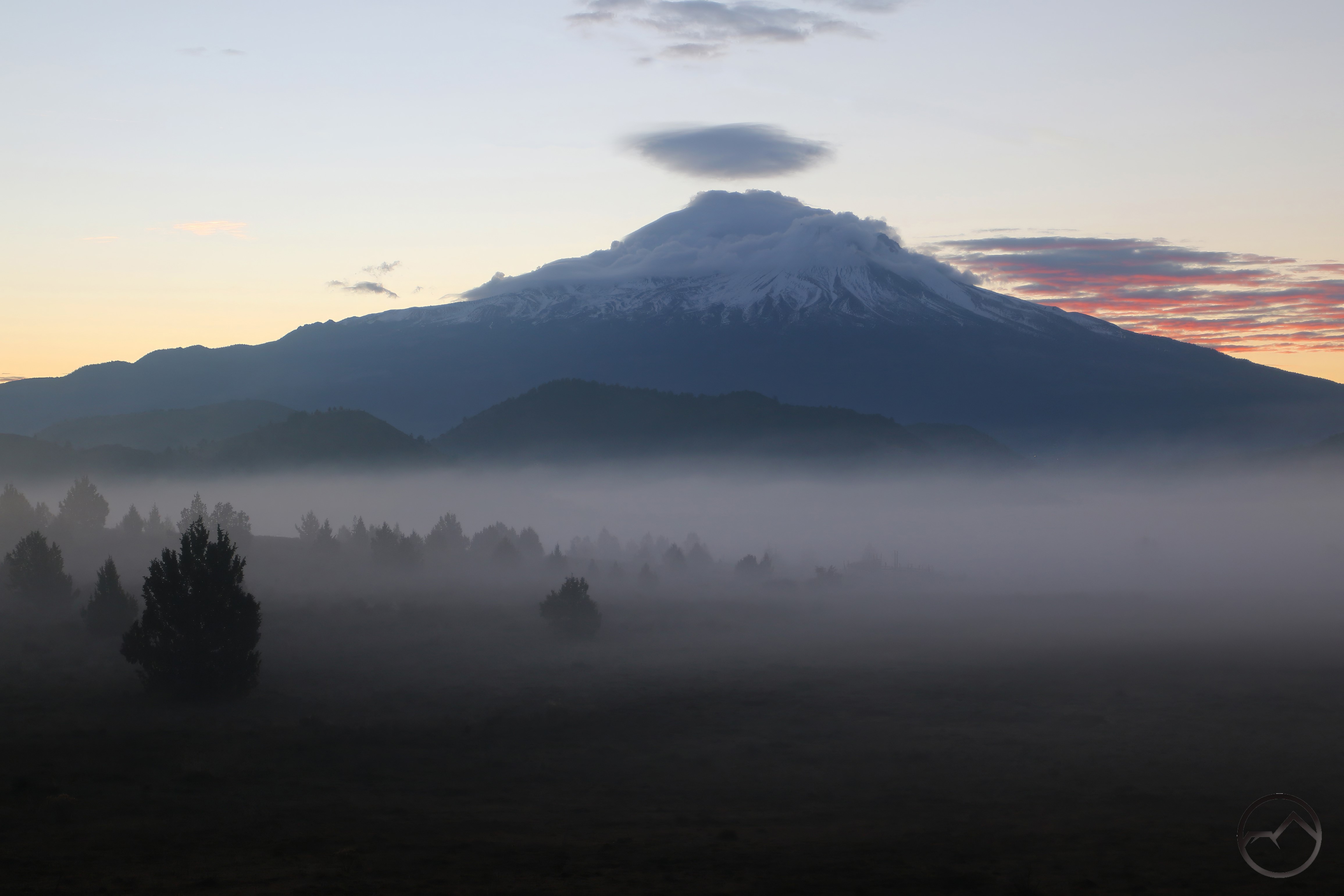
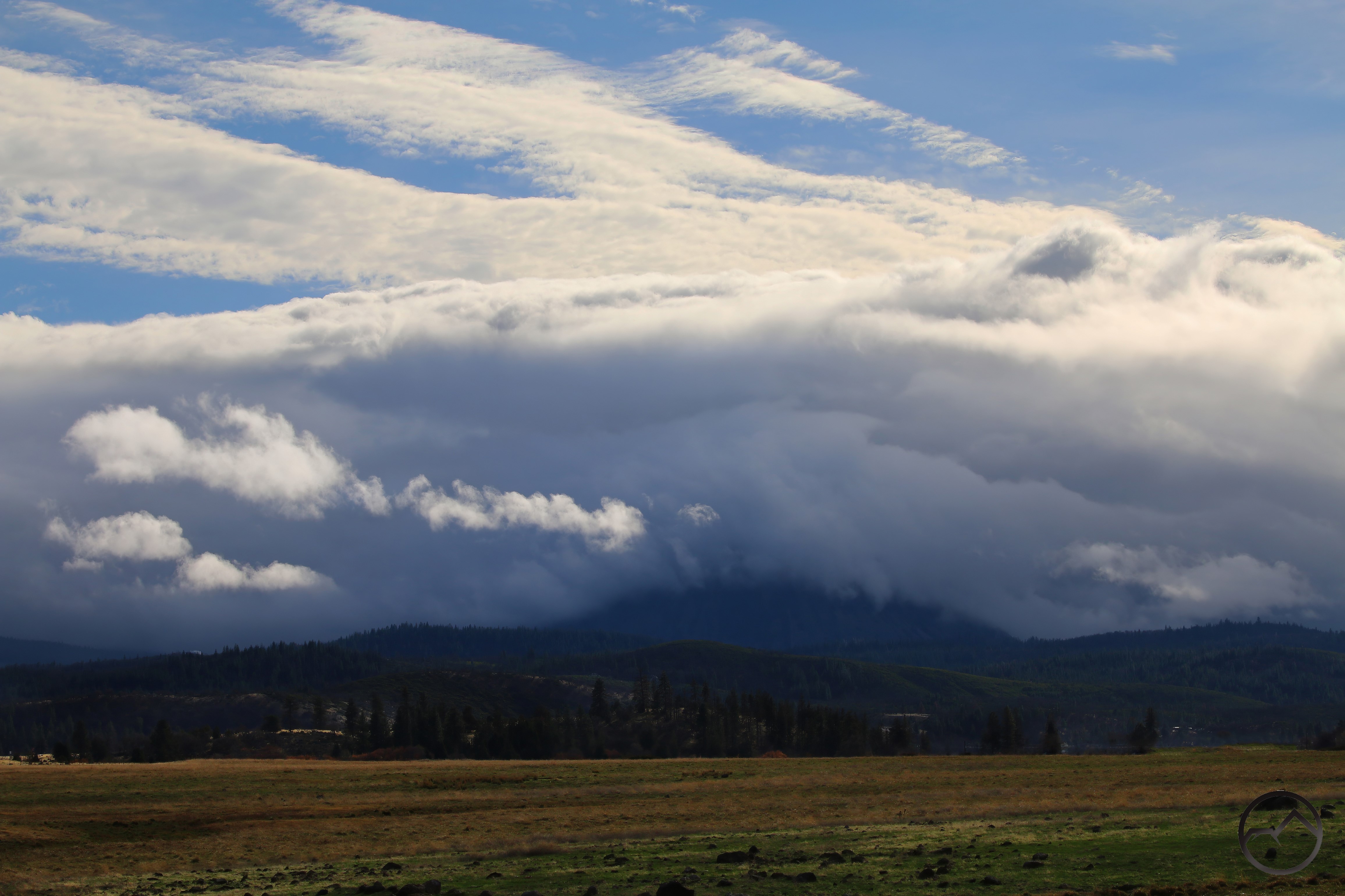
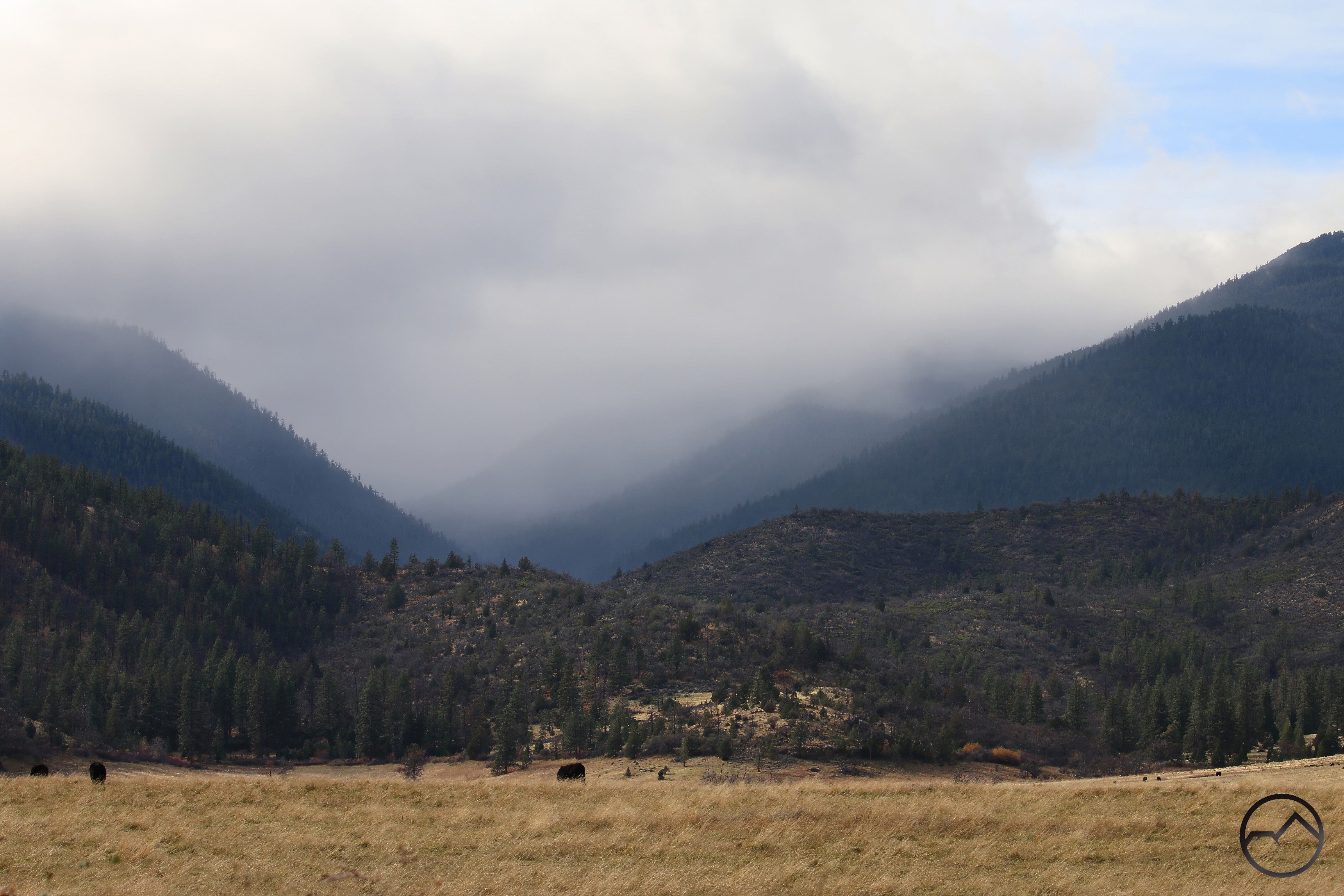
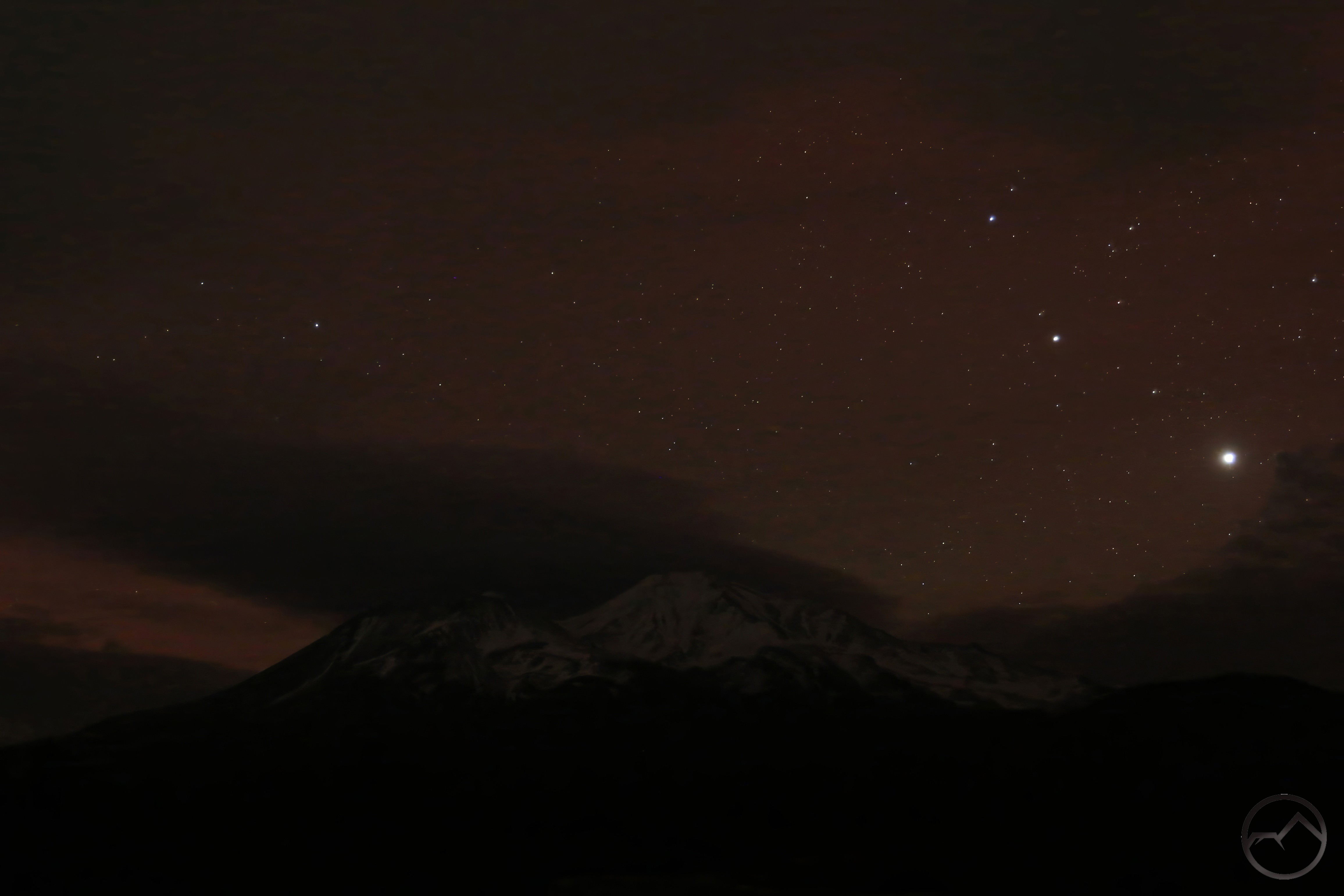
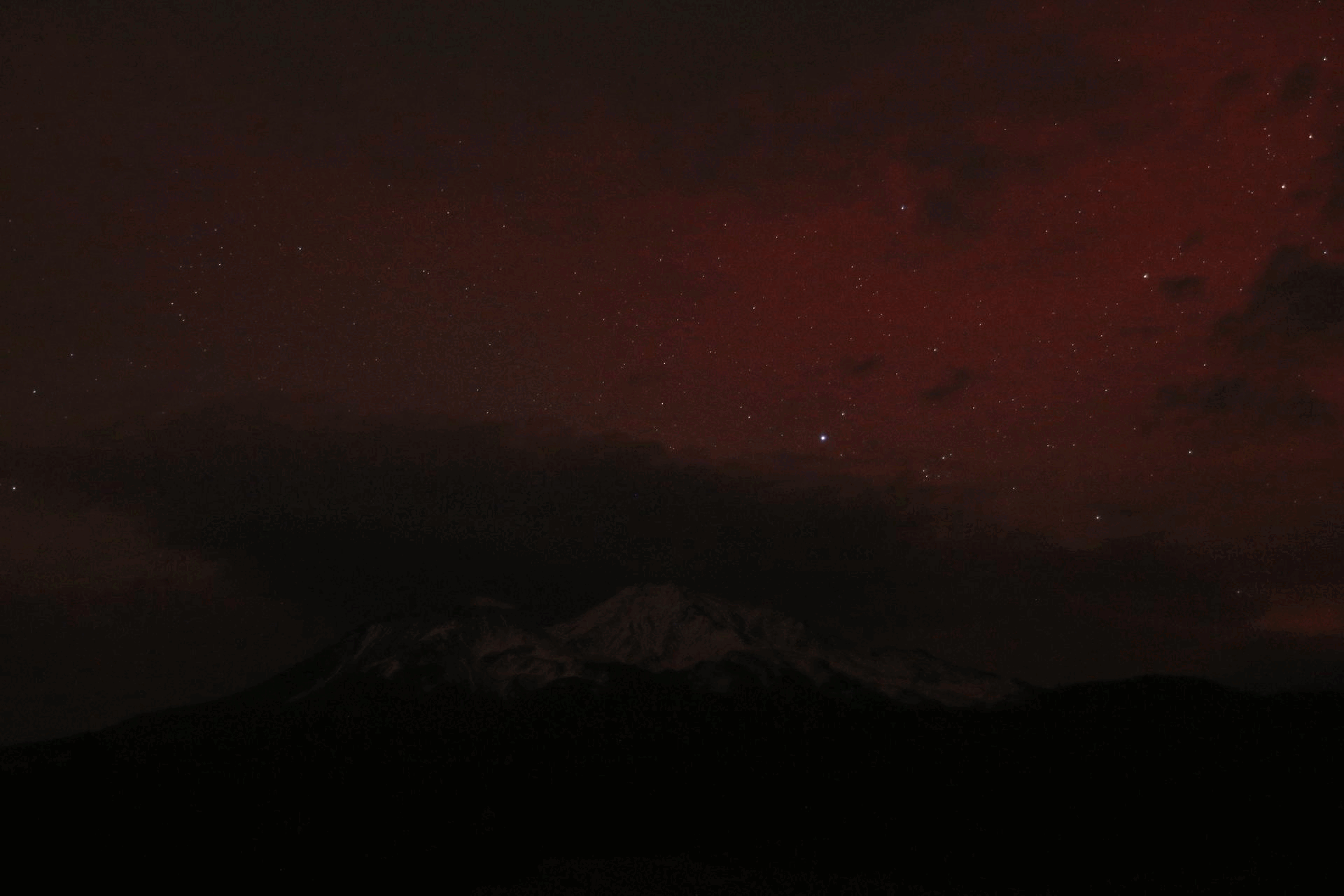
With a big storm finally careening through the region, I headed back to the same spot, hoping to capture Mount Shasta during a lull before the clouds overtook it again. I was too late, but it was great to finally be getting a lot of rain and snow.
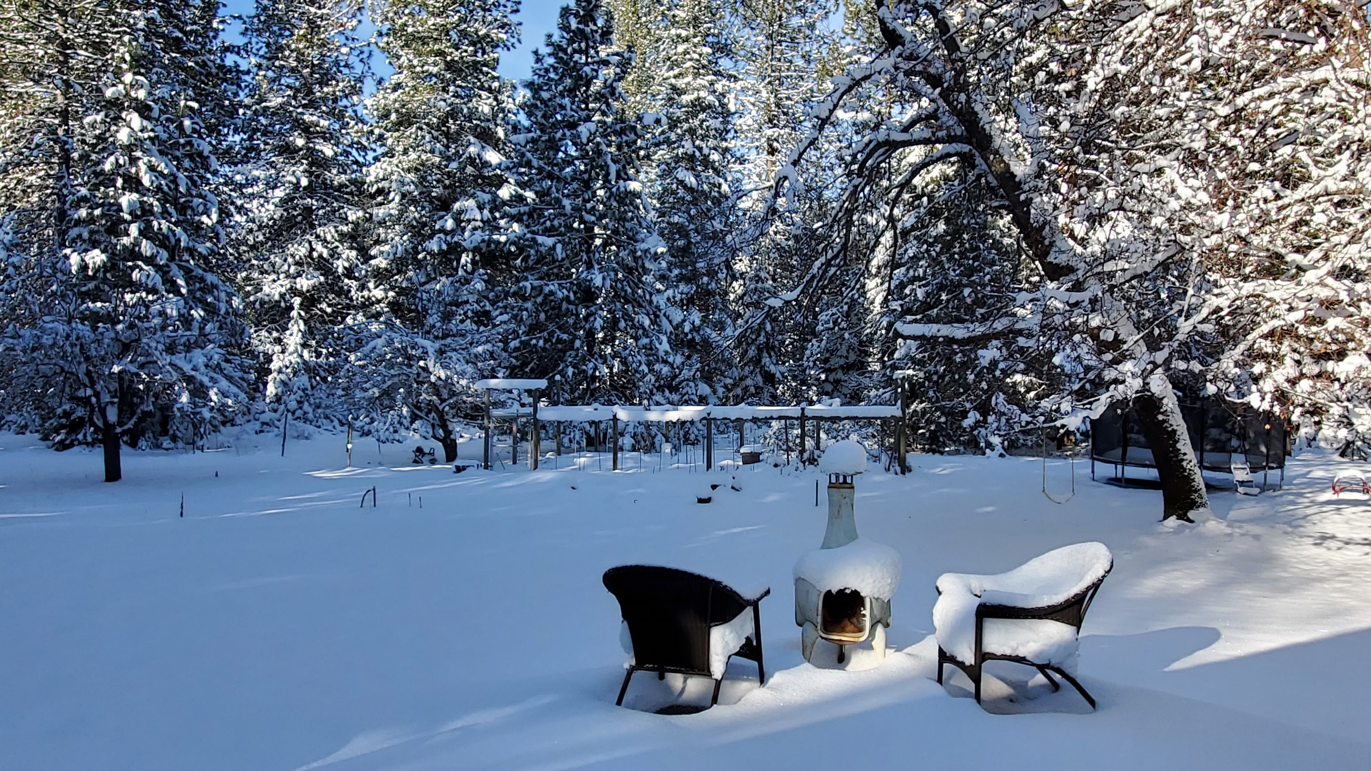
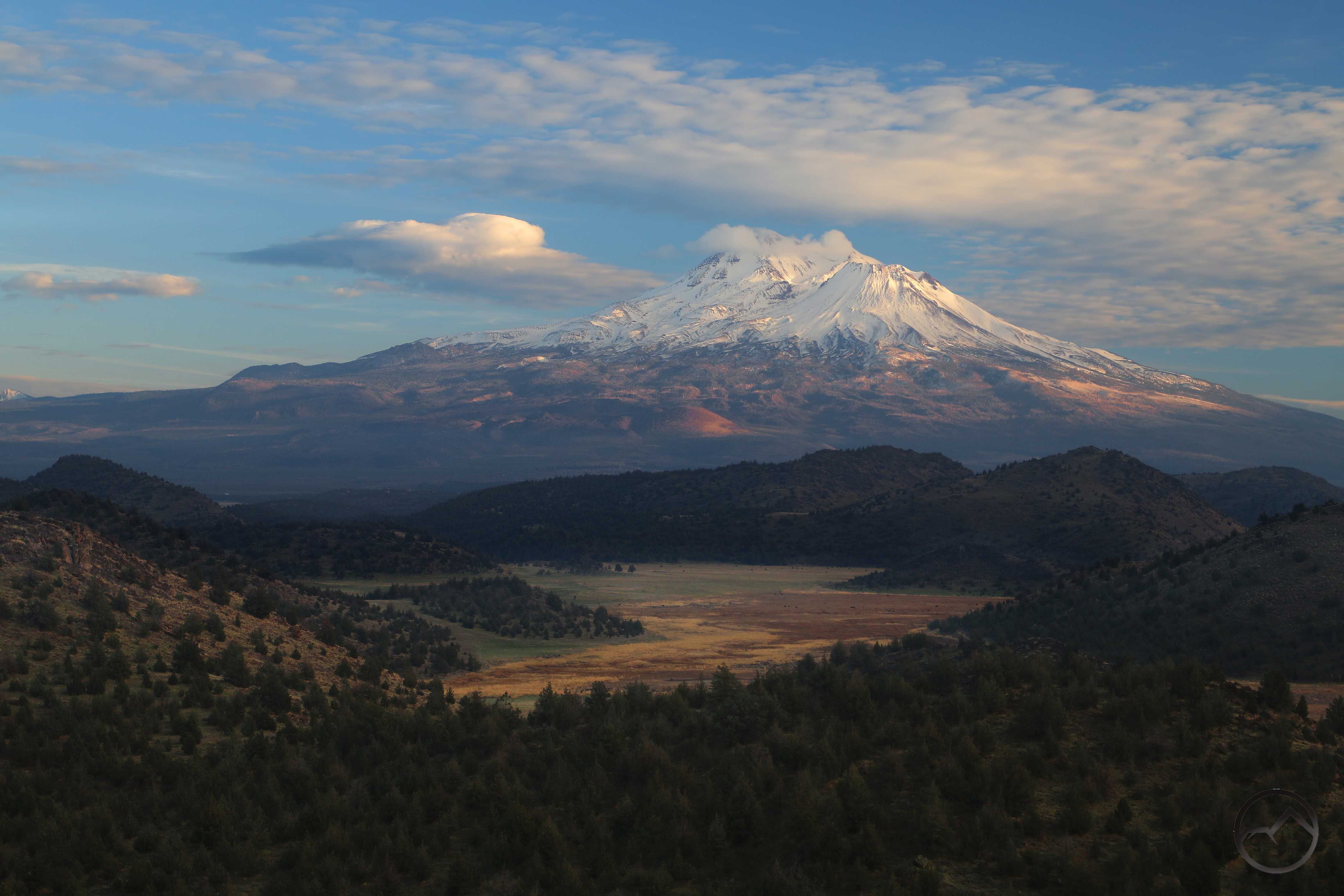
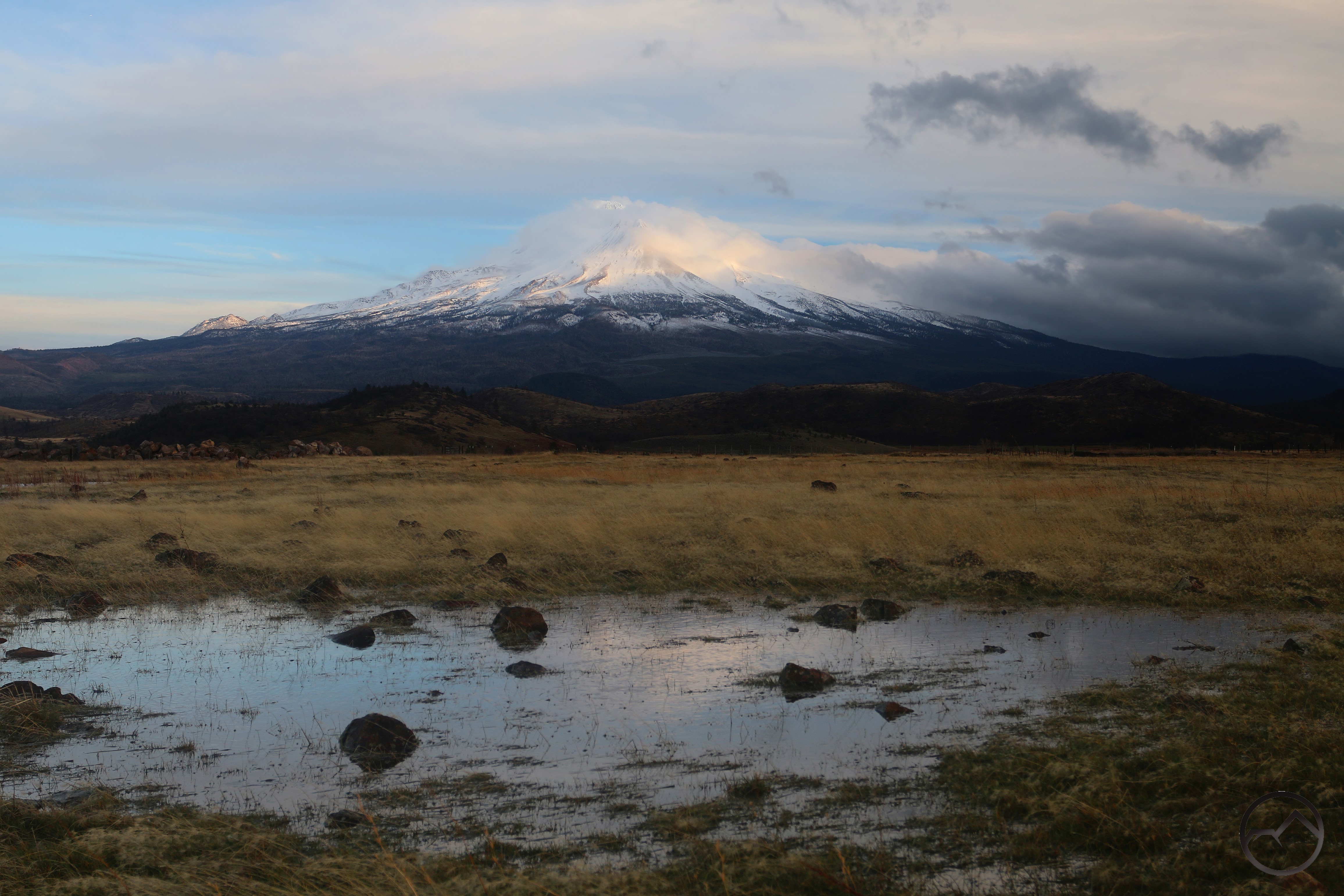
We got quite a bit of snow though not as much as predicted. Still, it made for the whitest scene we have had all winter. It was peaceful the morning after snow tapered off.
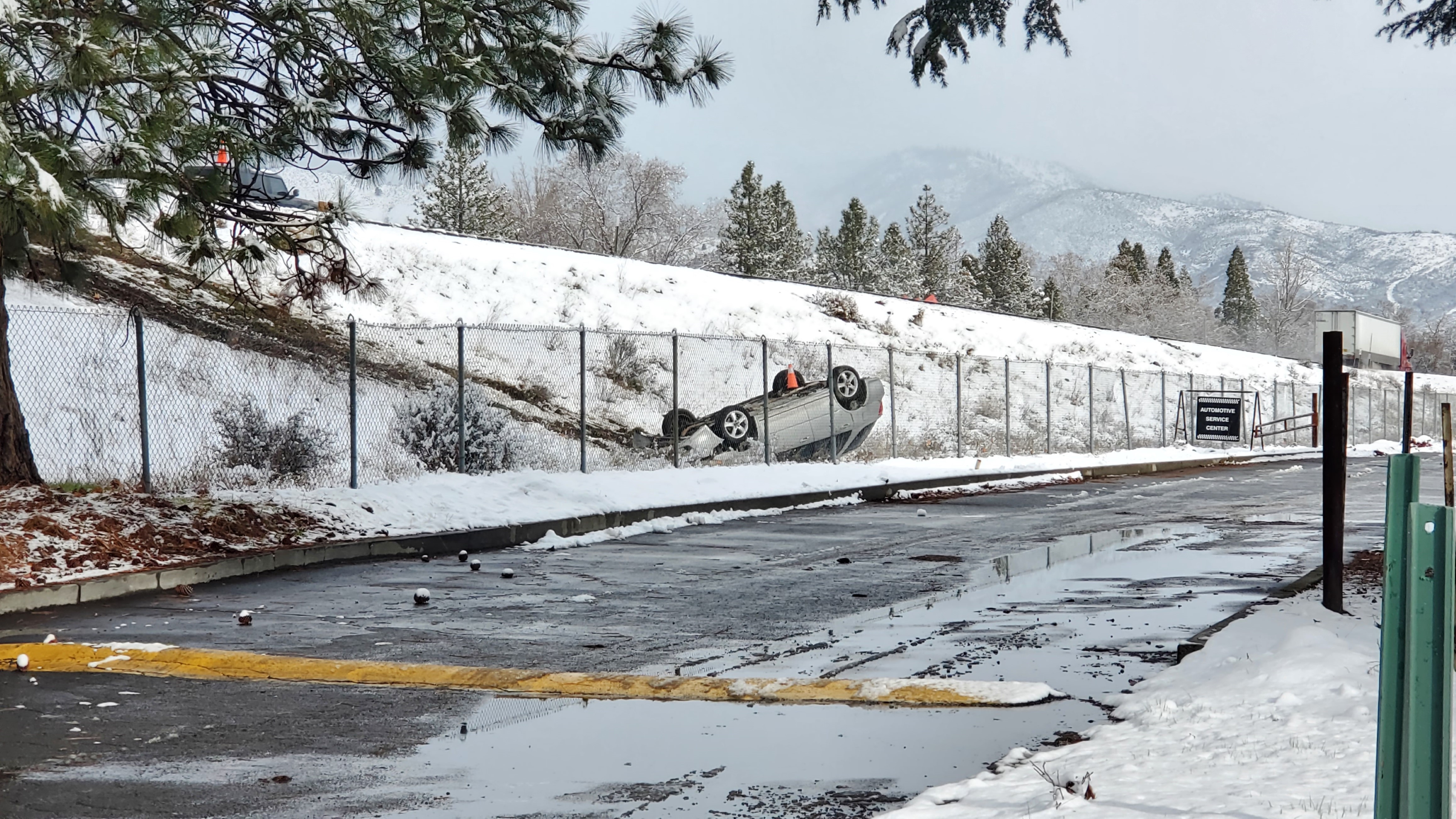
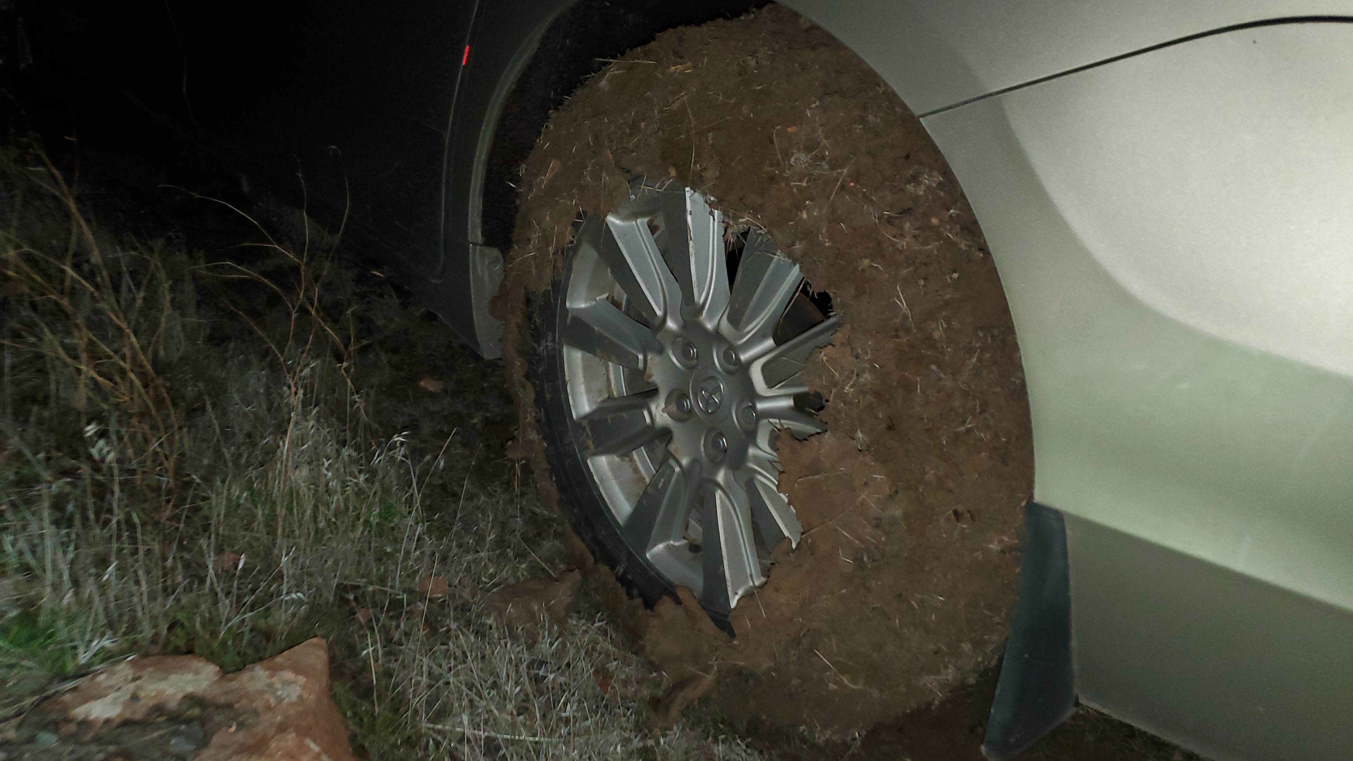
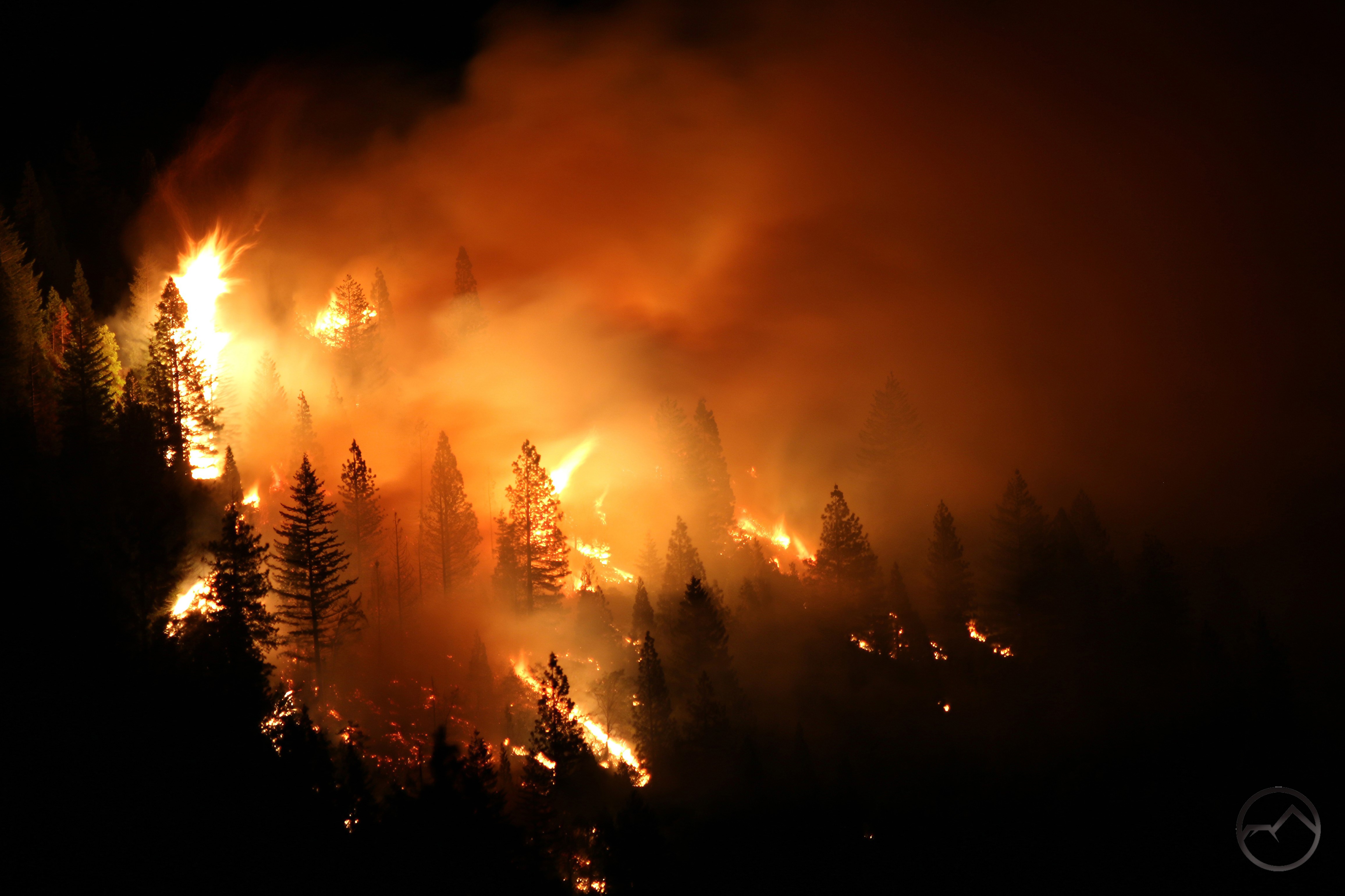
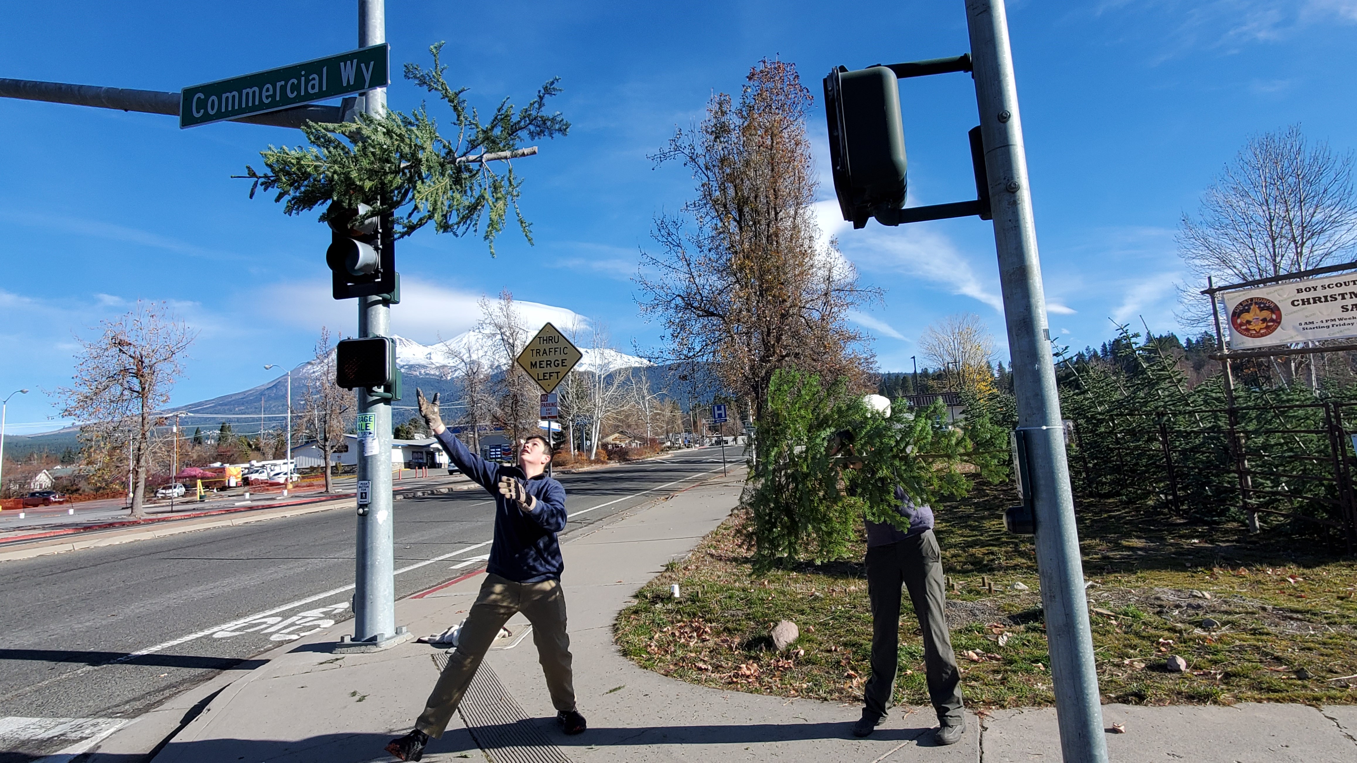
The roads, however, where anything but peaceful. They were a downright disaster. The above image was outside our animal hospital. The freeways were loaded with accidents and the ski park highway was particularly bad. There were over half a dozen people off the road. Needless to say, the ski park was a zoo. I am not sure why so many people were have difficulty driving. I have seen the roads far, far worse but this seemed to catch drivers during a fit of complacency.
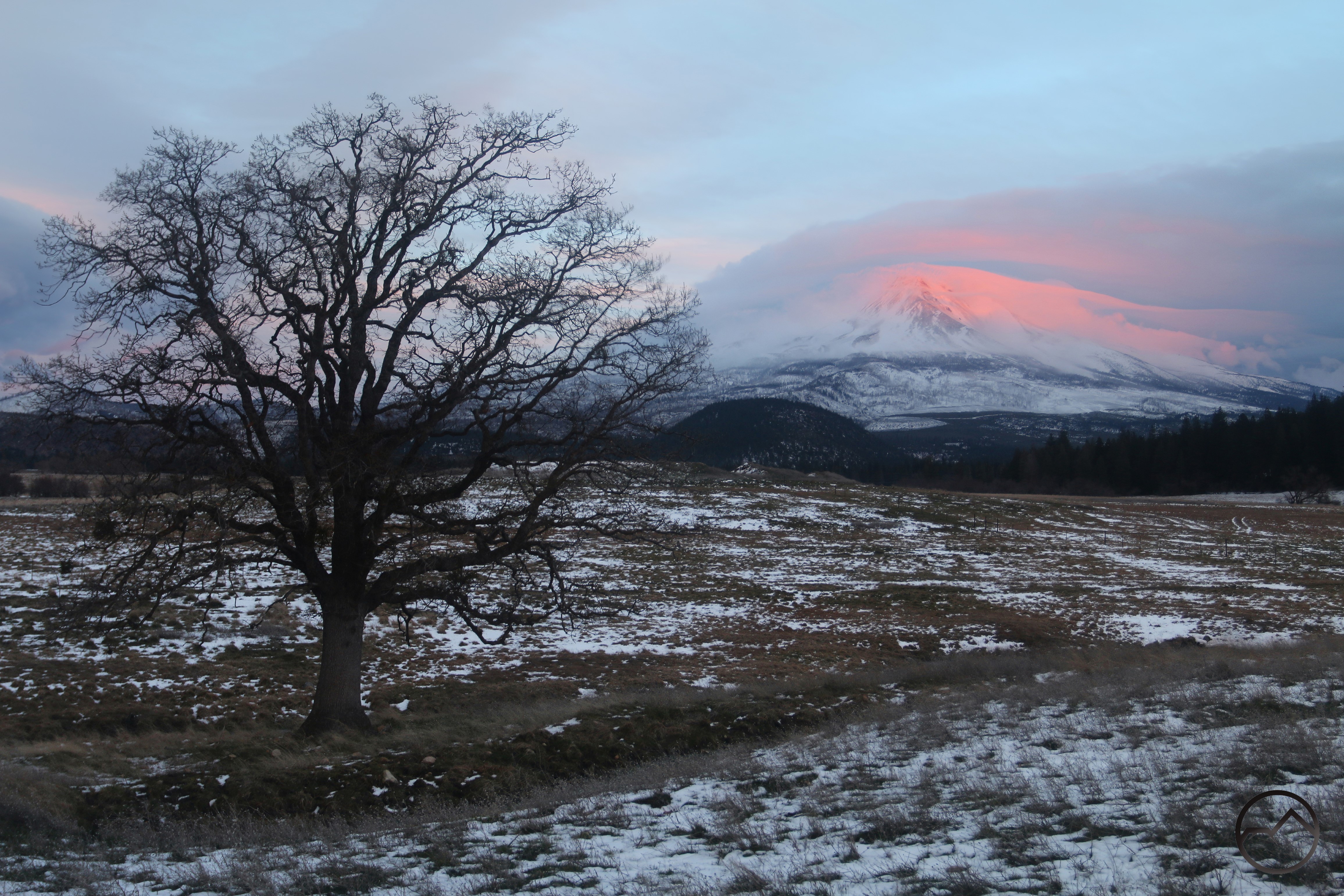
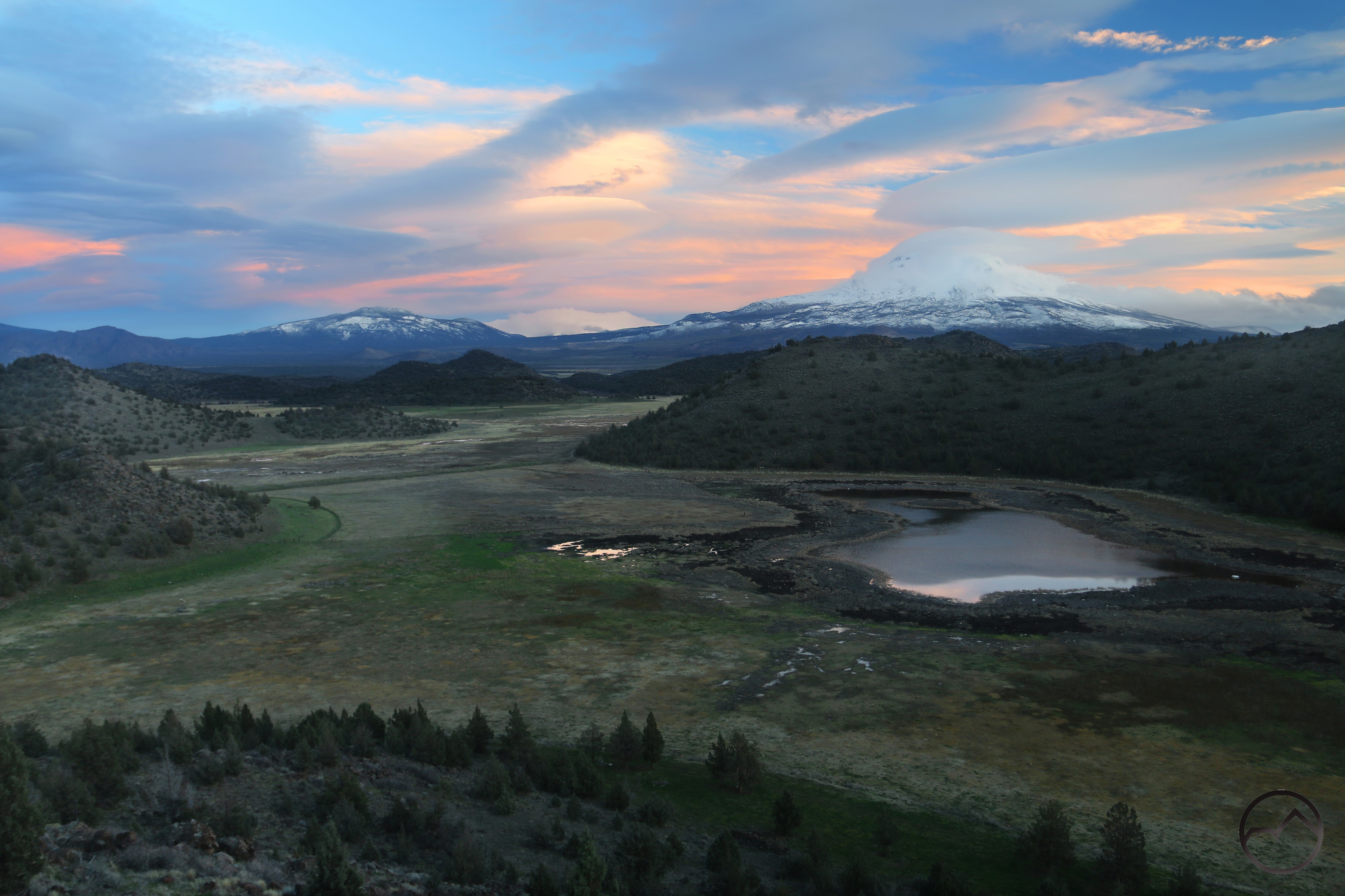
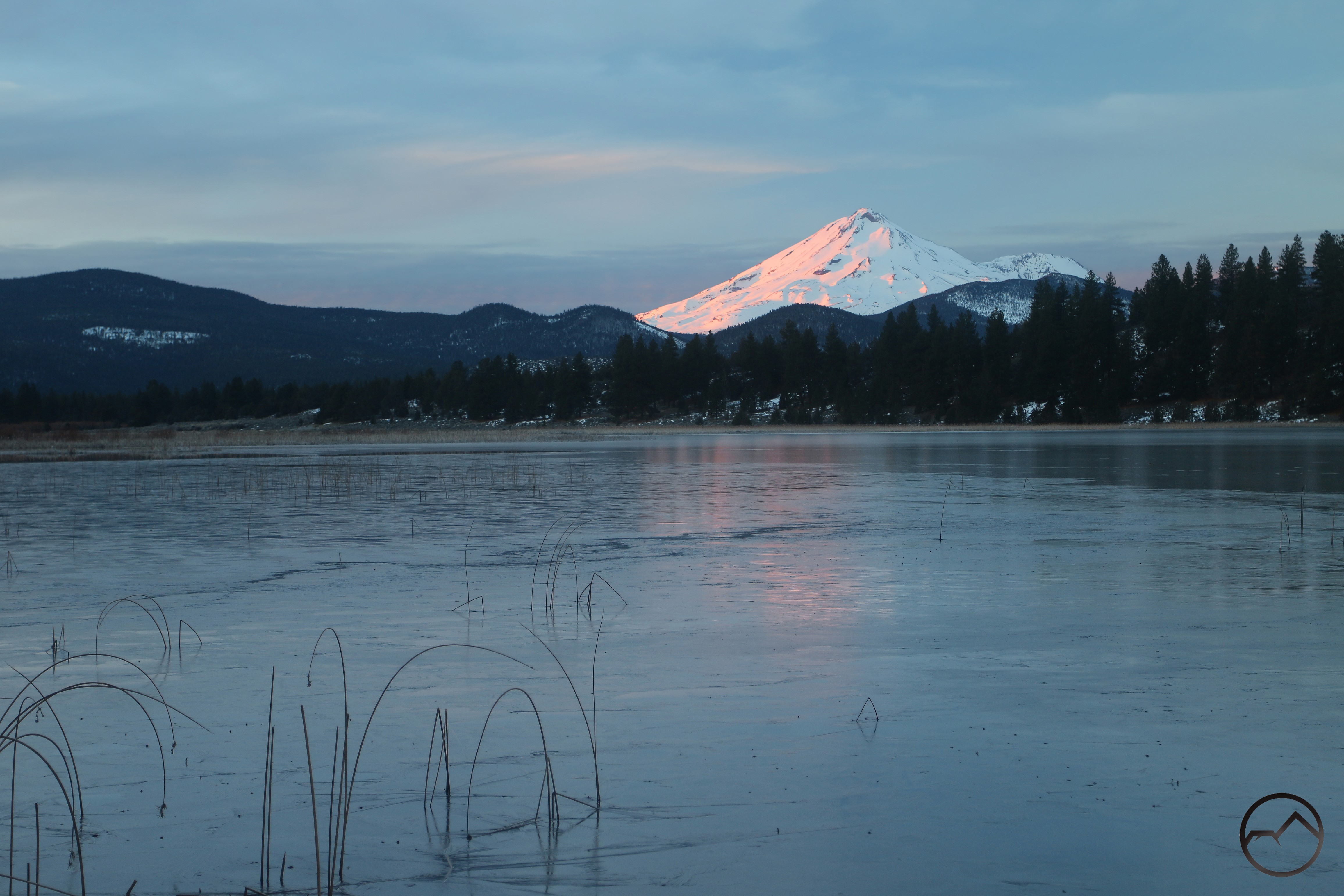
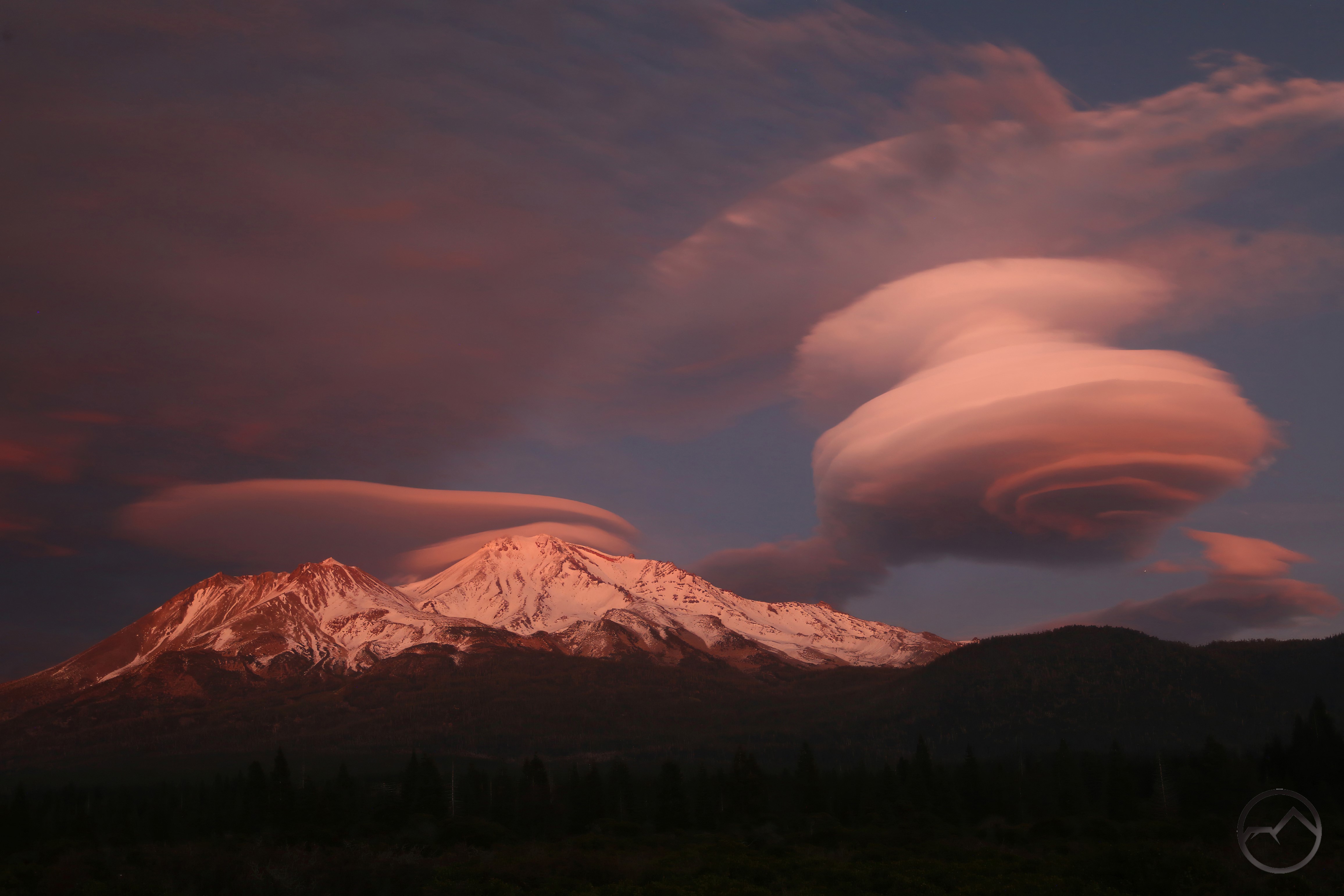
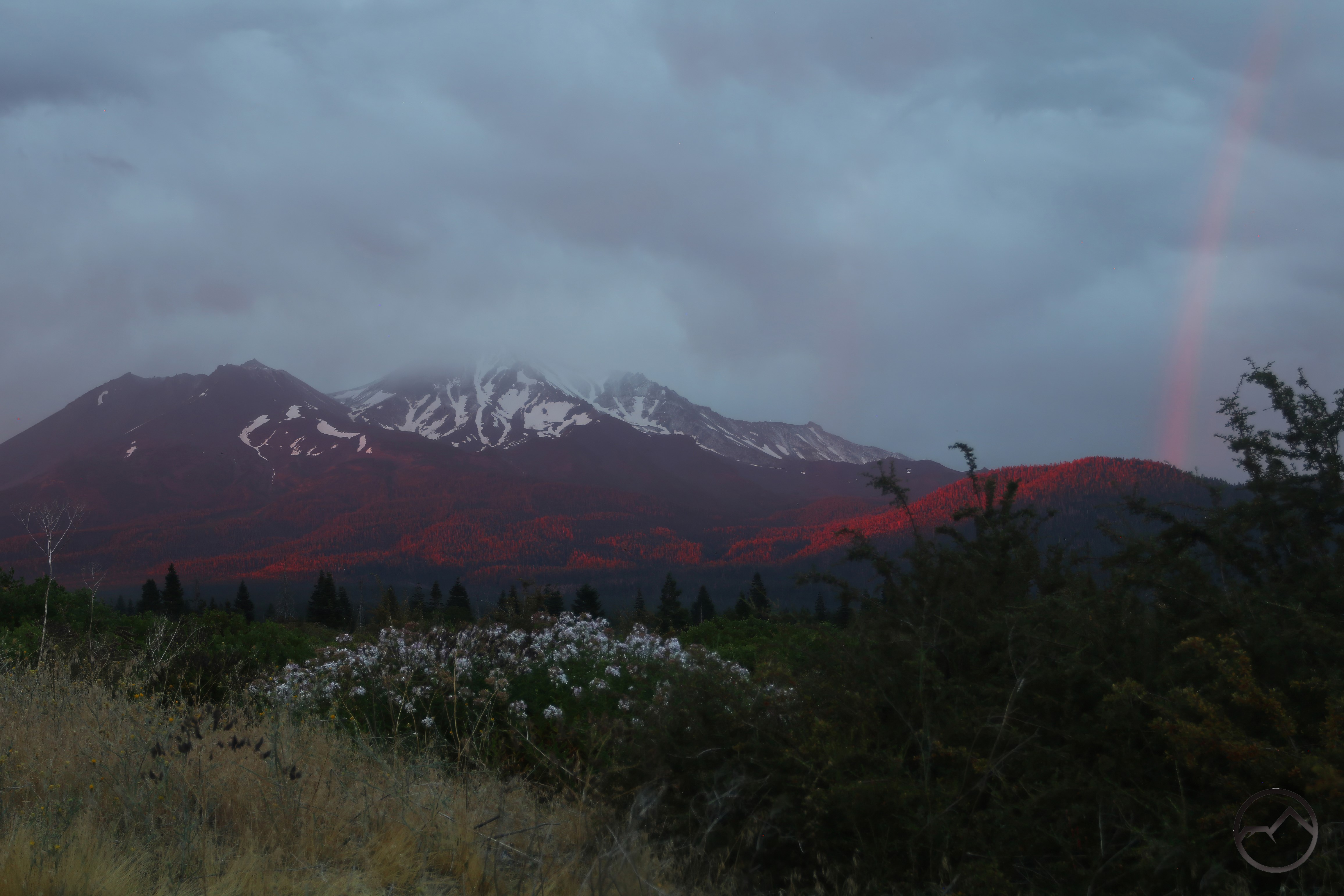
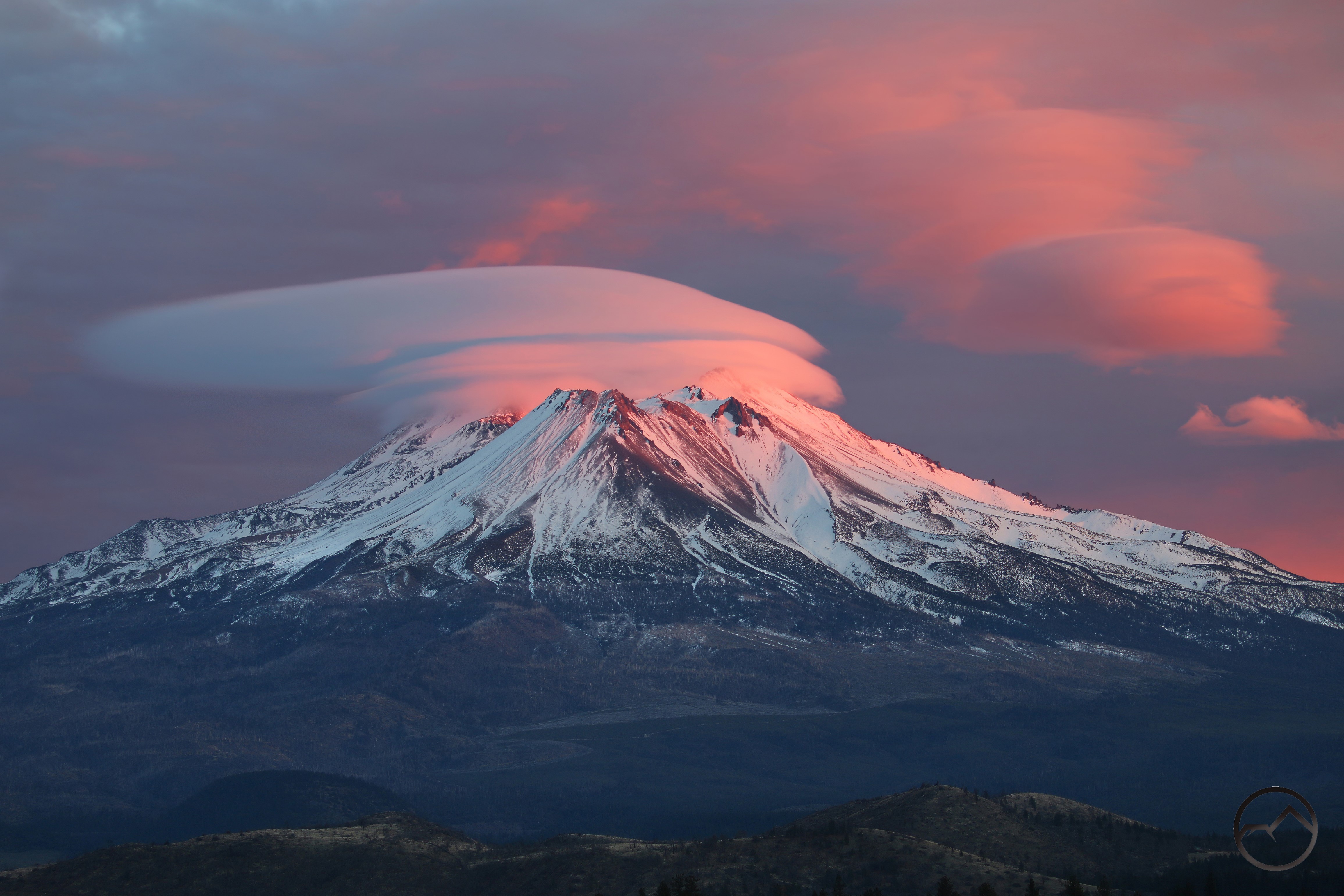
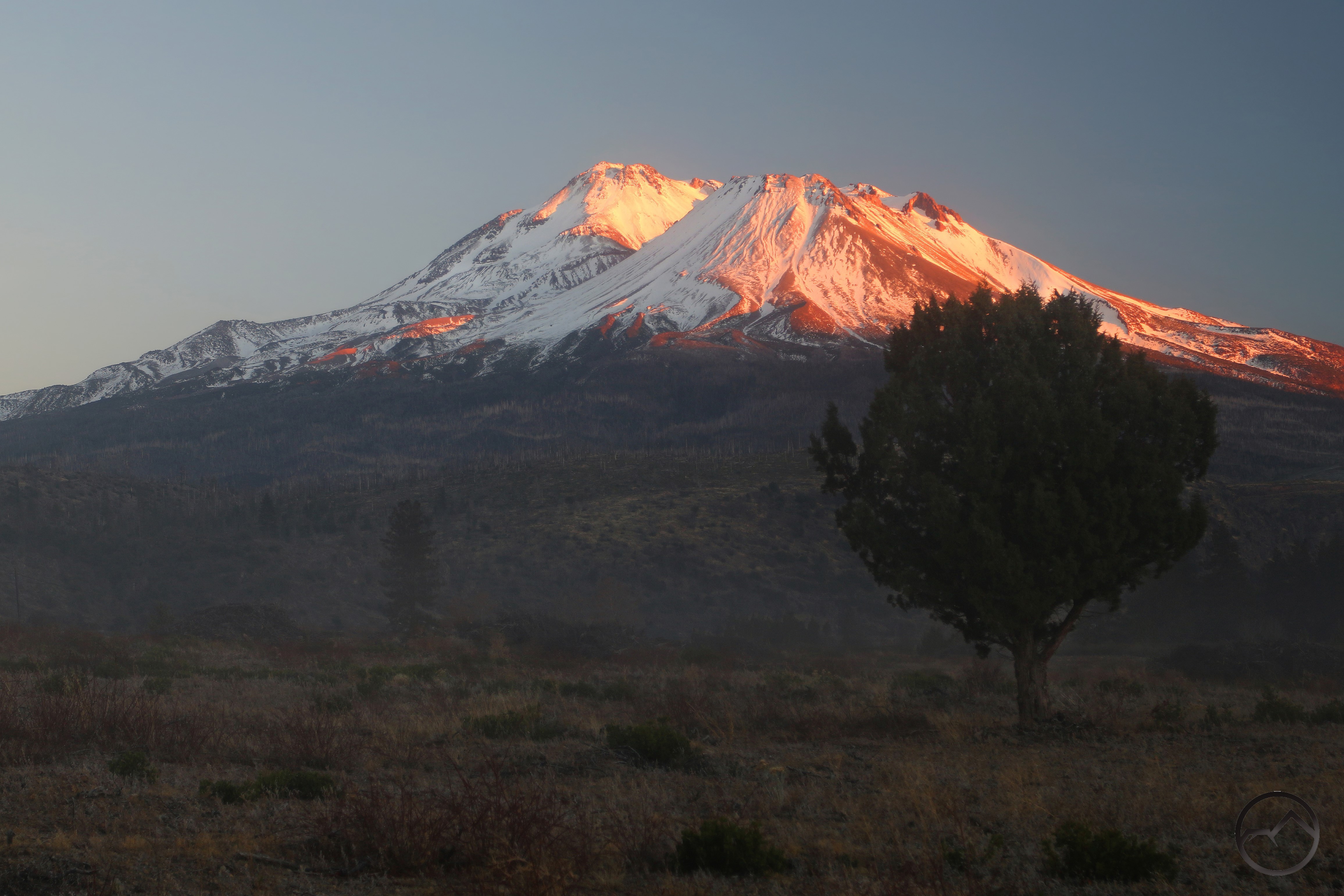
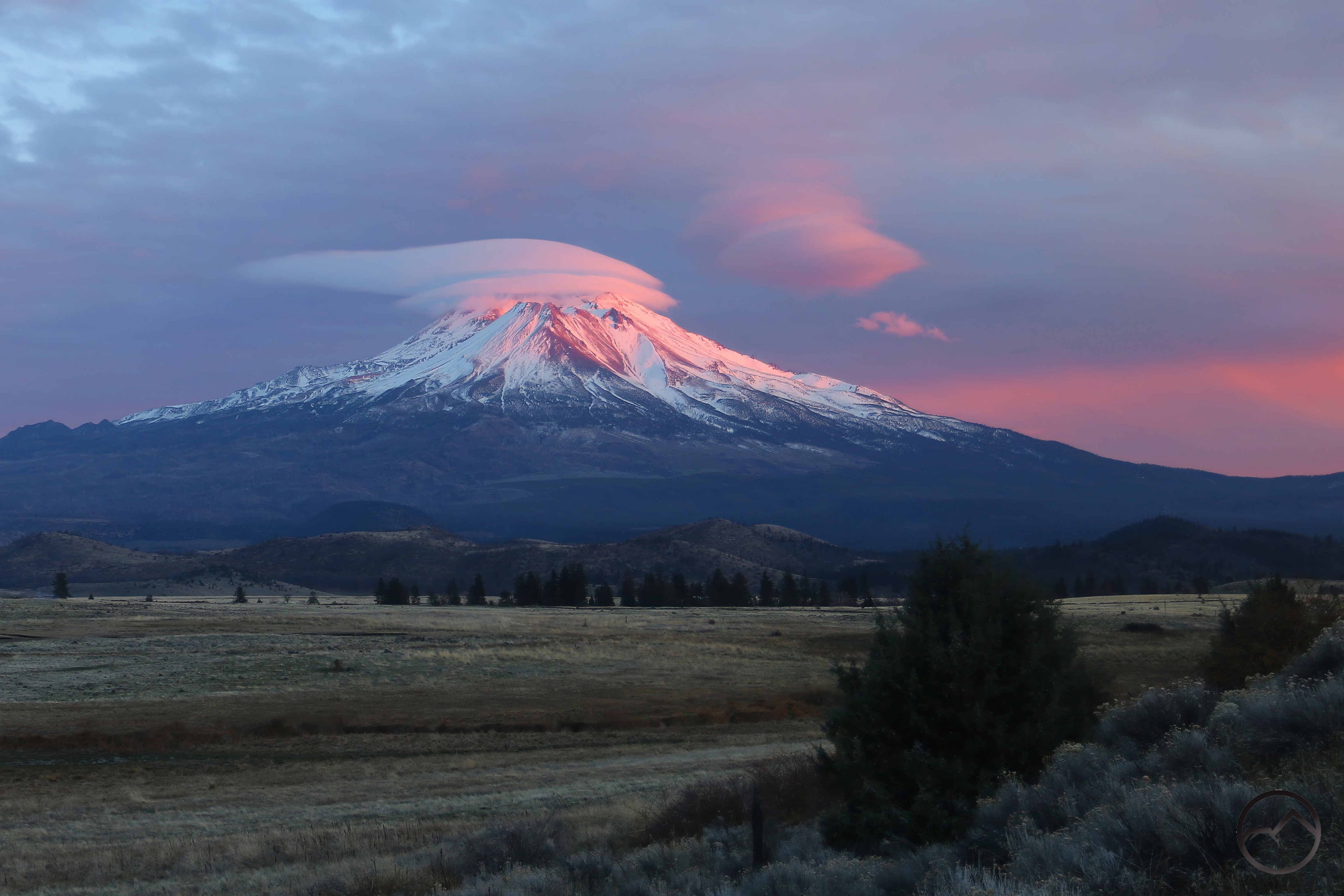
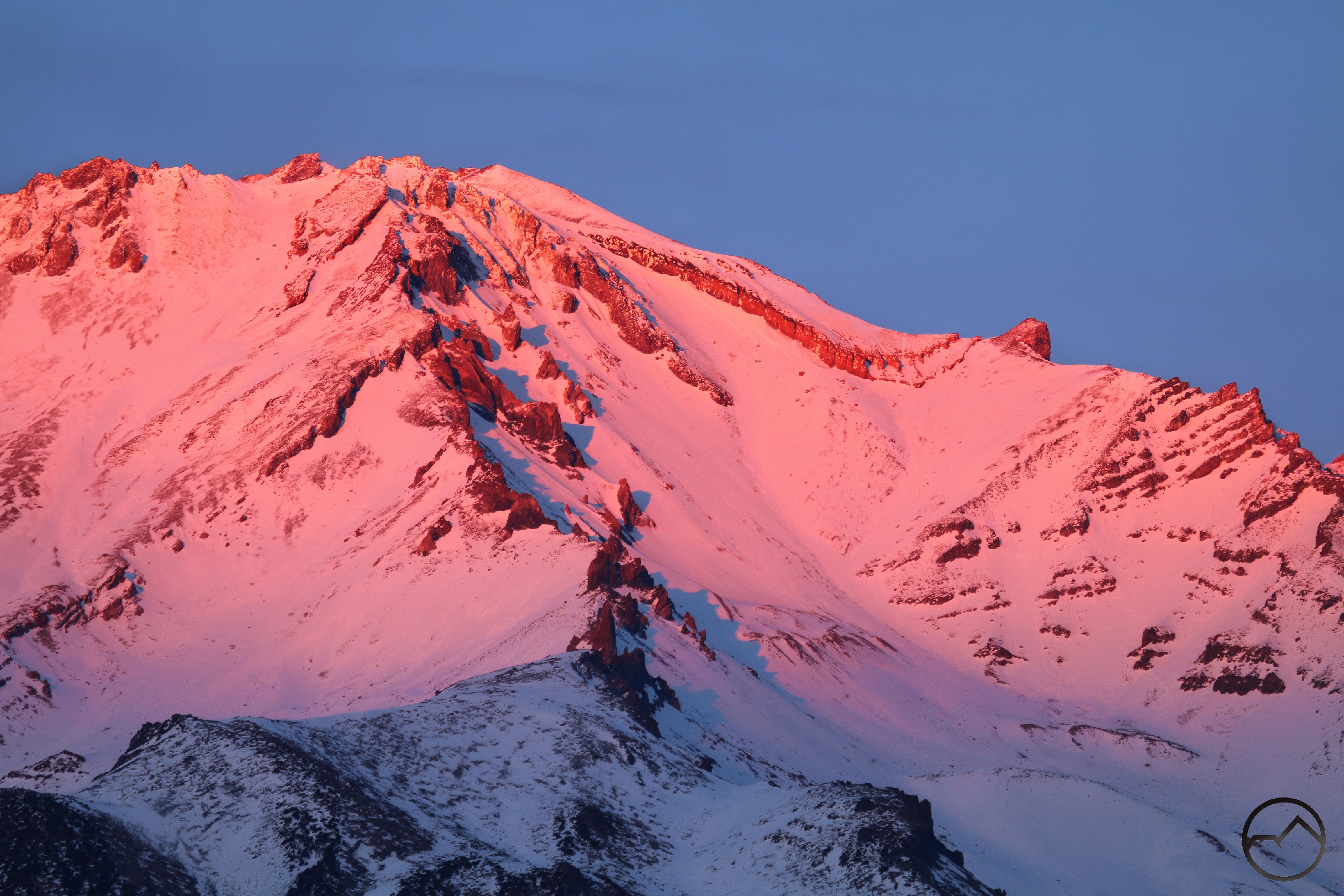
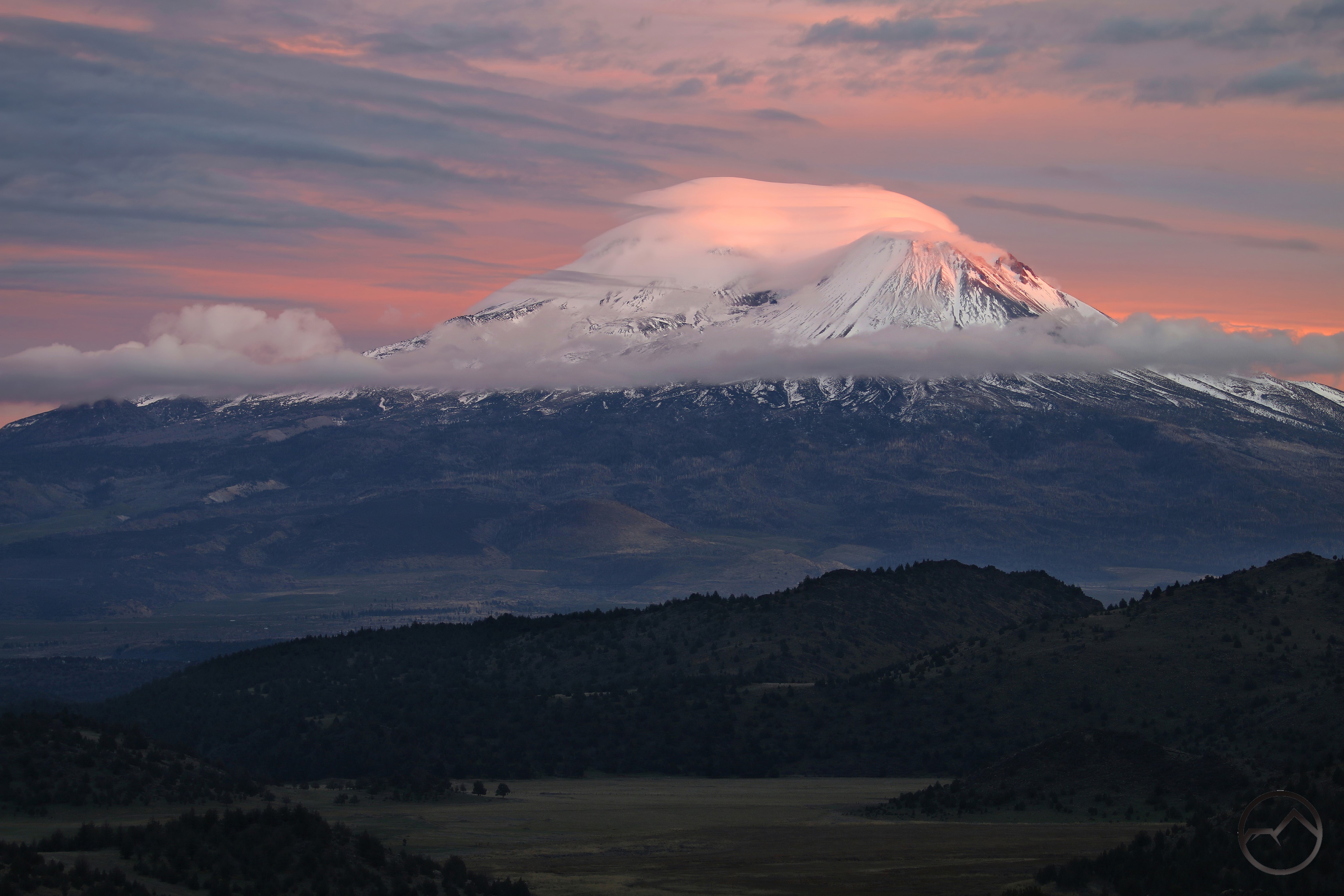
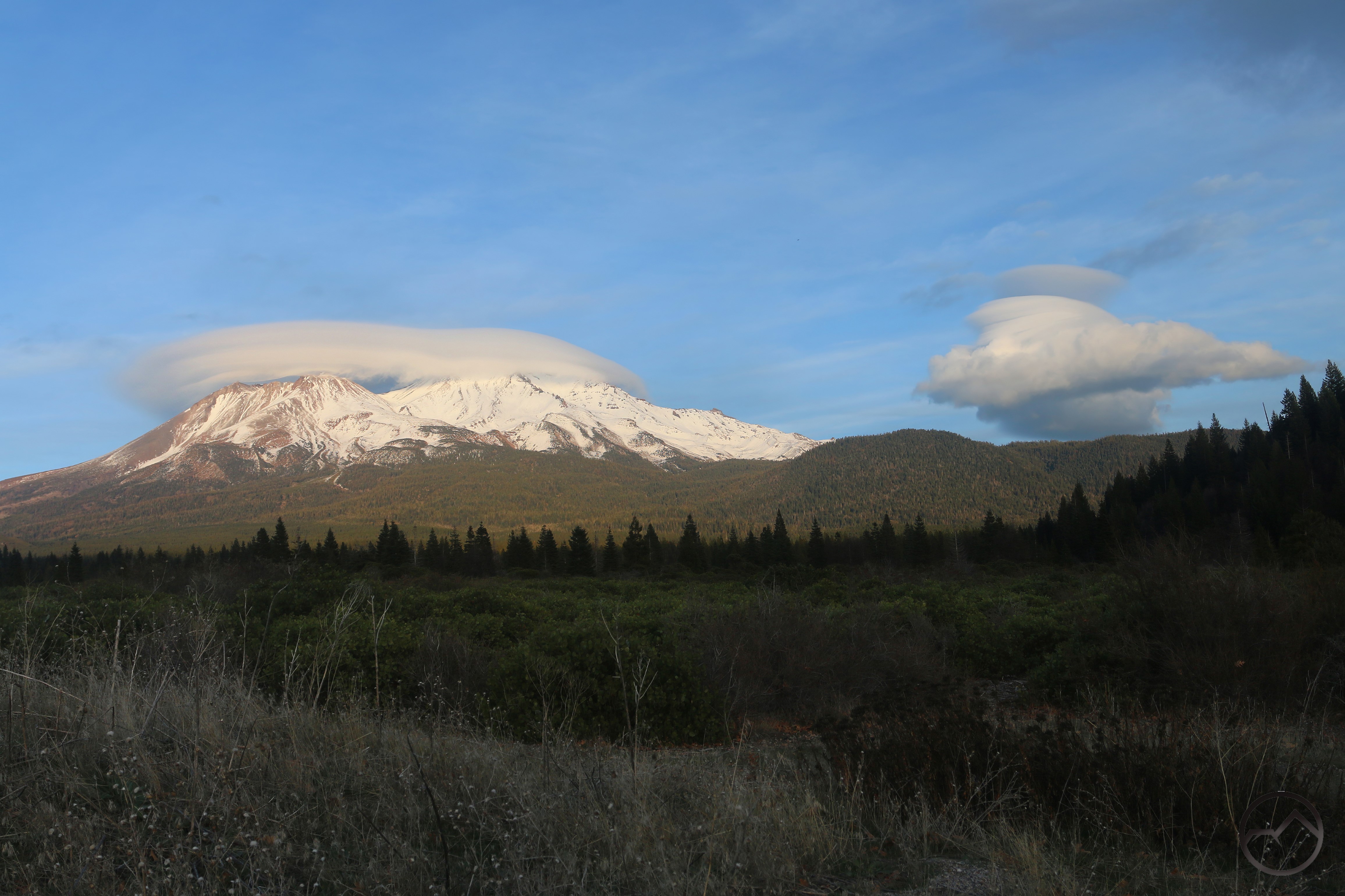
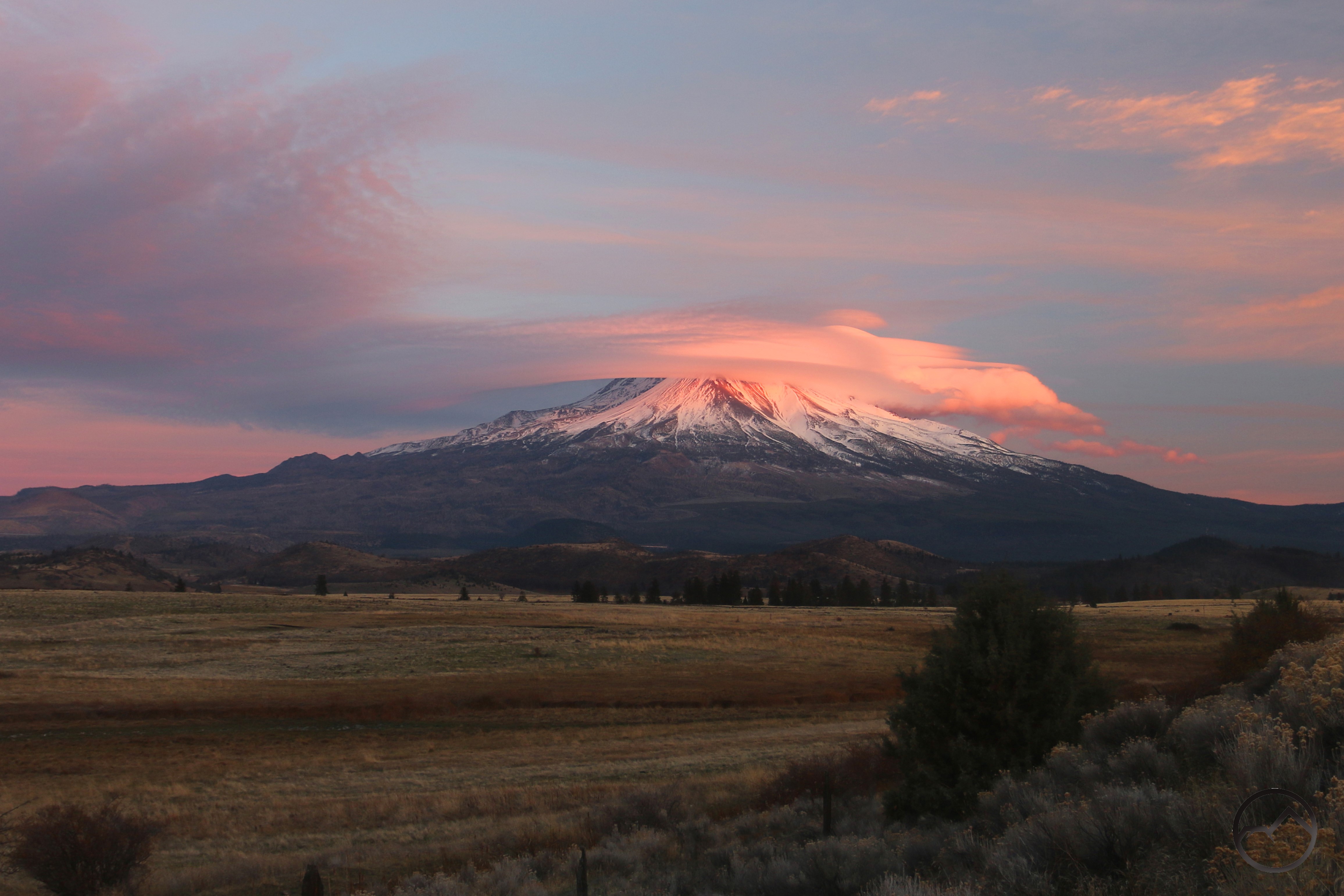
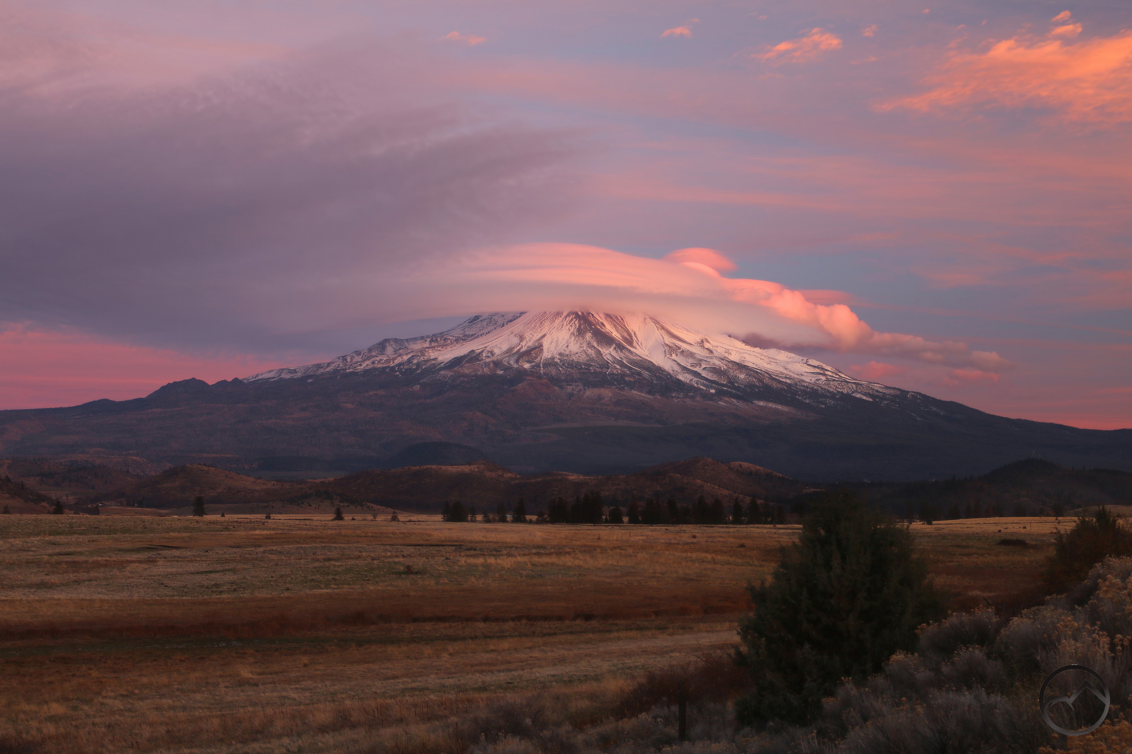
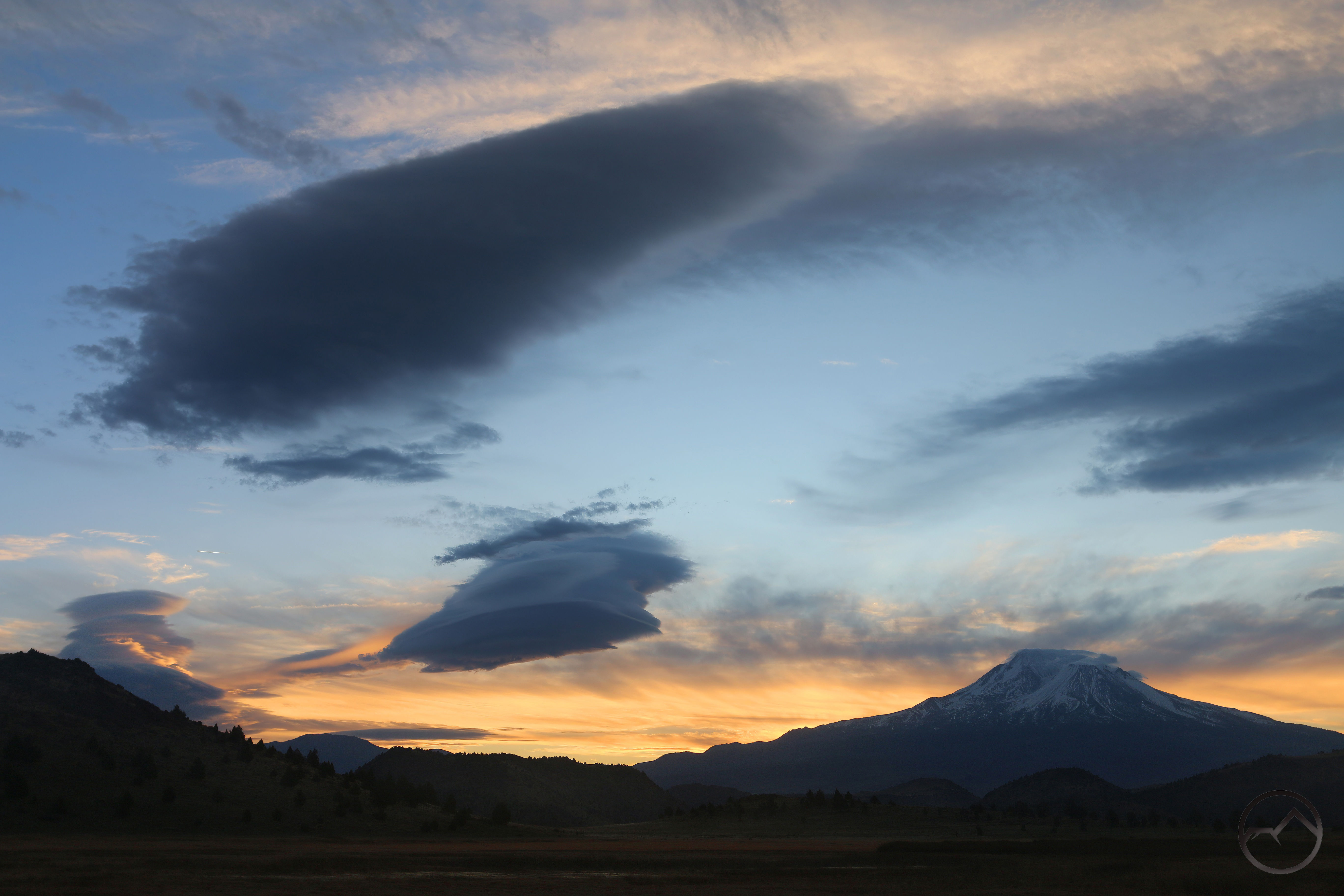
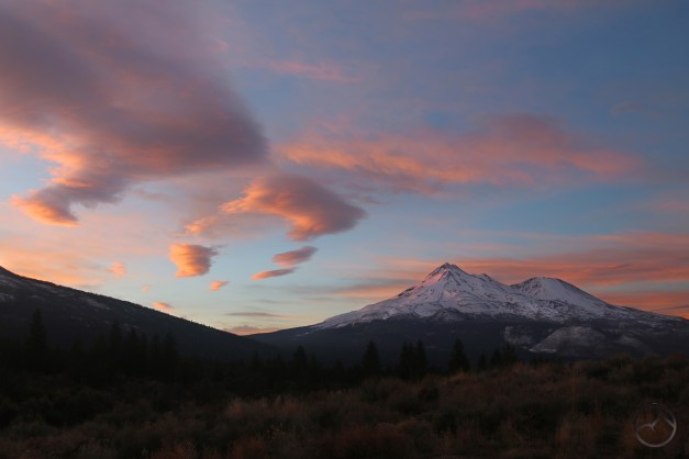
As the storm weakened, I headed out into the valley again. It seemed as though the clouds were clearing just enough for Mount Shasta and its off lenticular to get some light. I almost gave up when it suddenly turned bright pink. The light was gone nearly as quickly as it came but I had my camera ready and was able to capture one quick shot of the pink mountain.
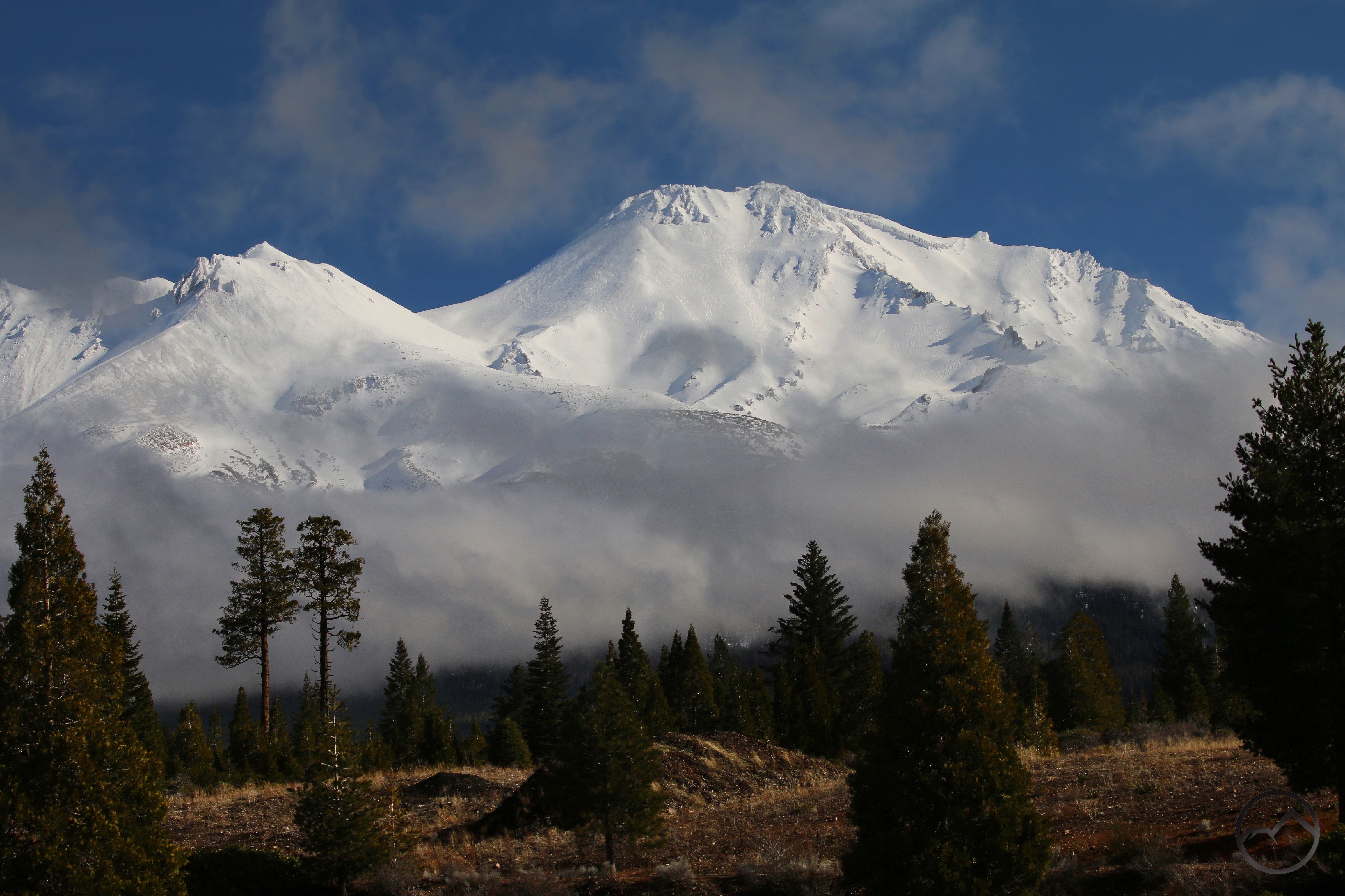
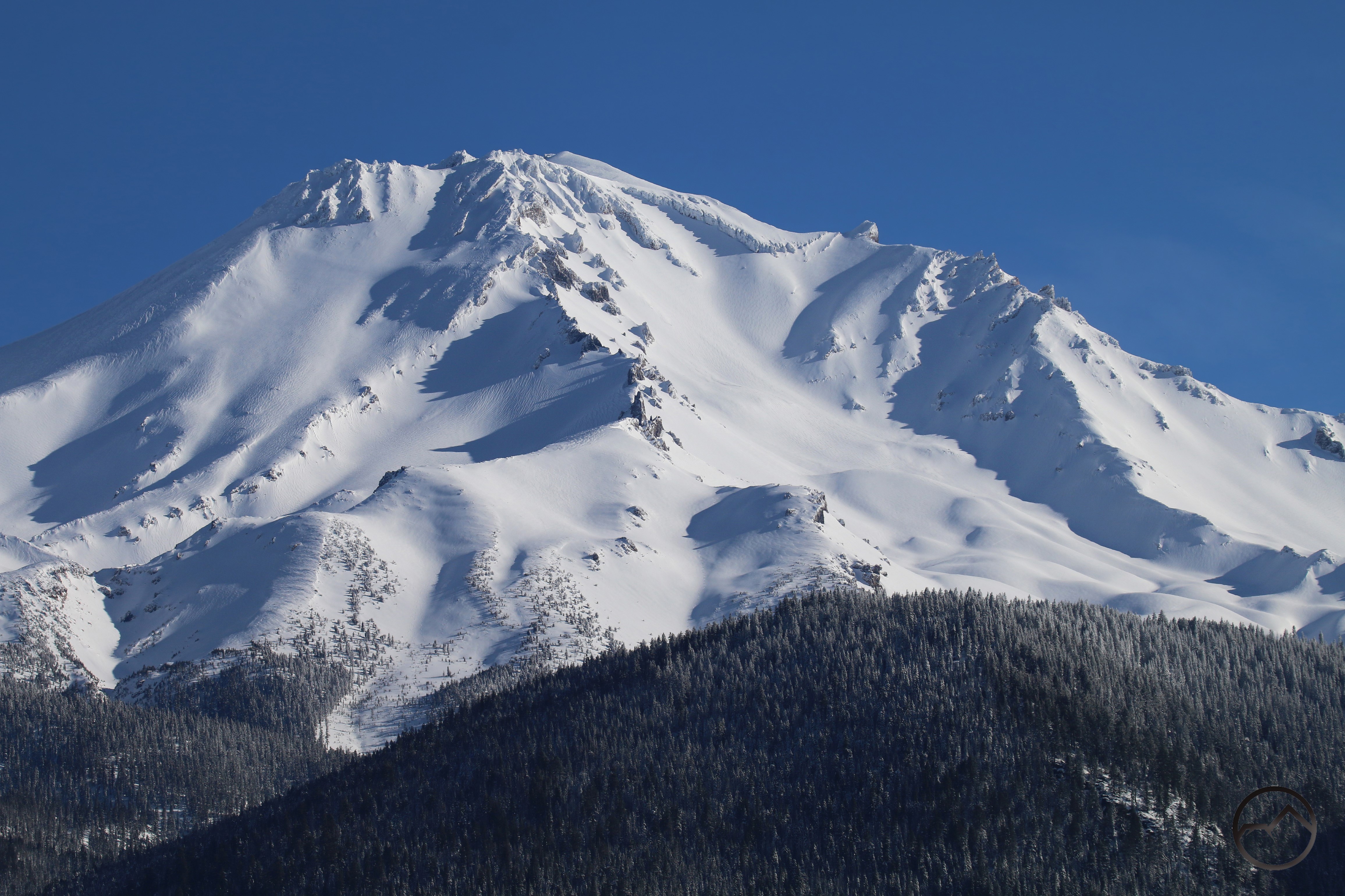
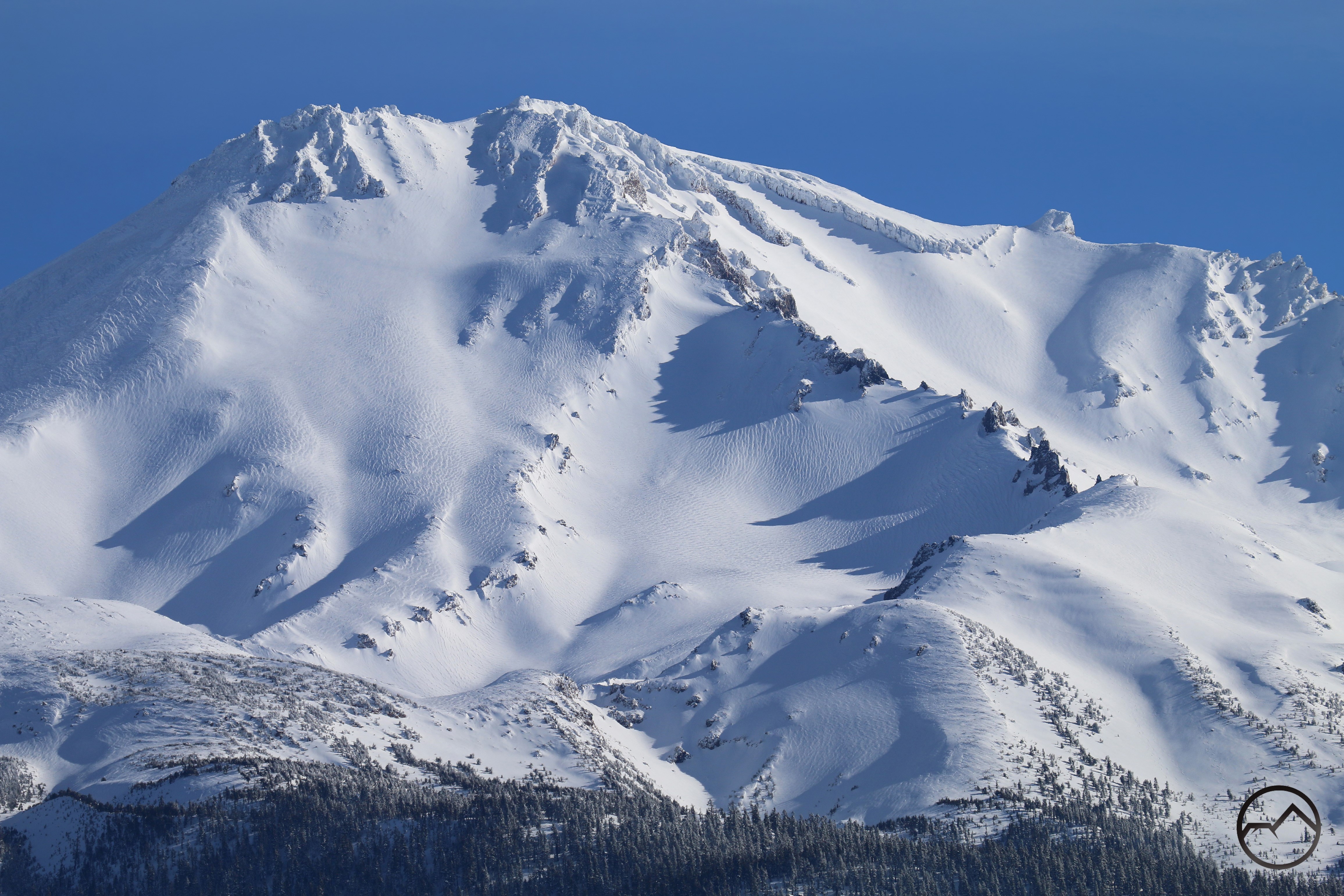
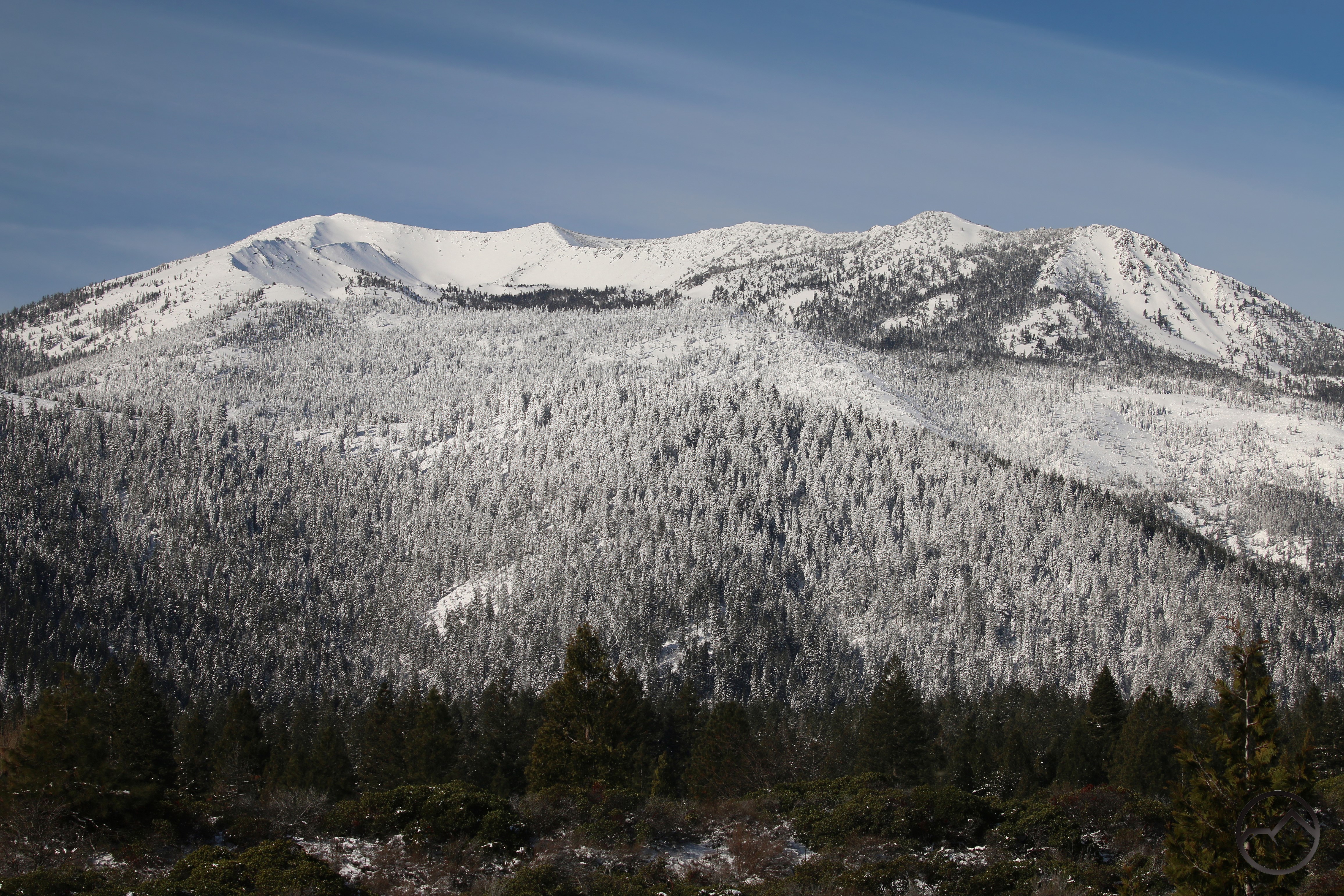
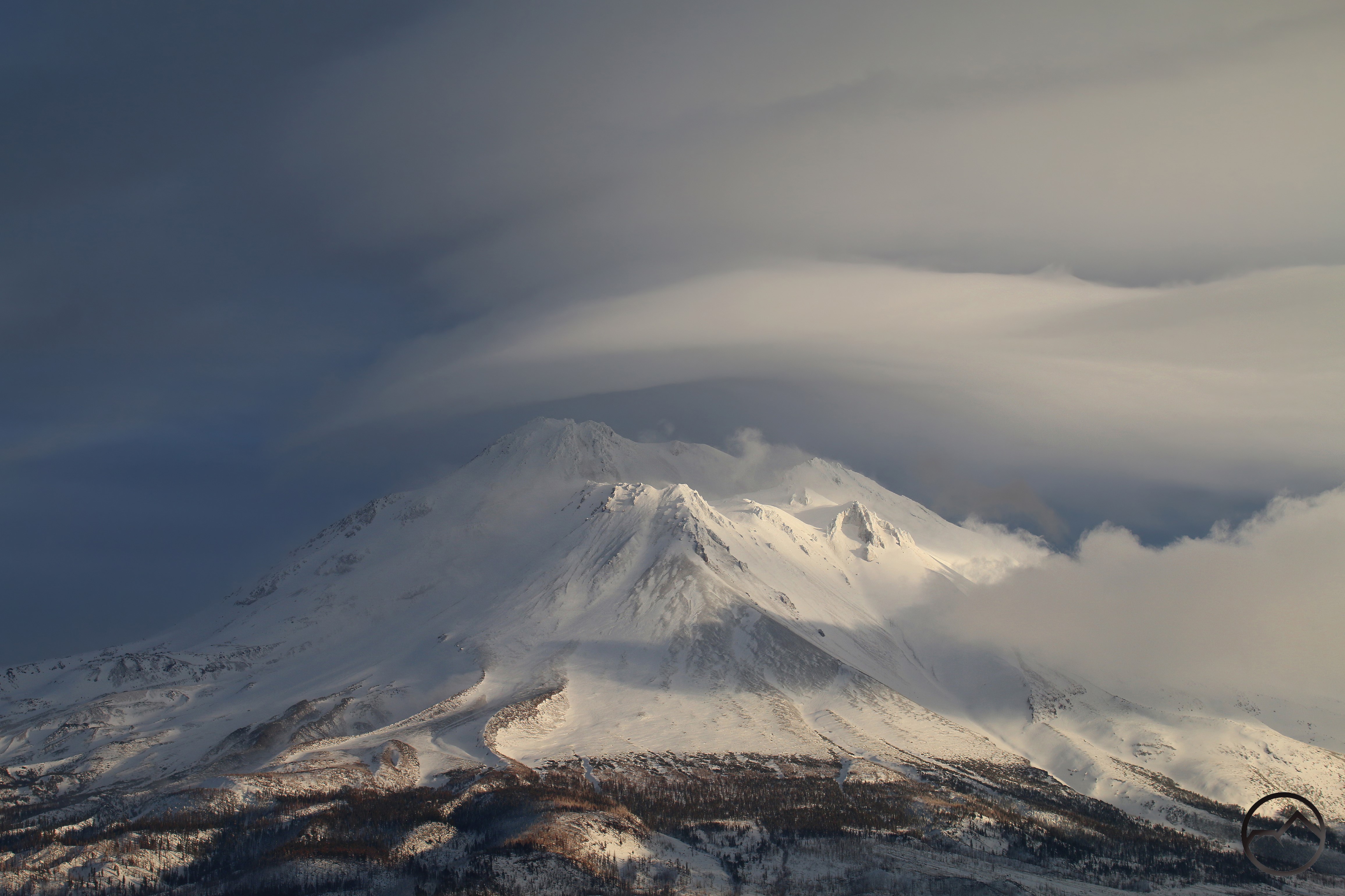
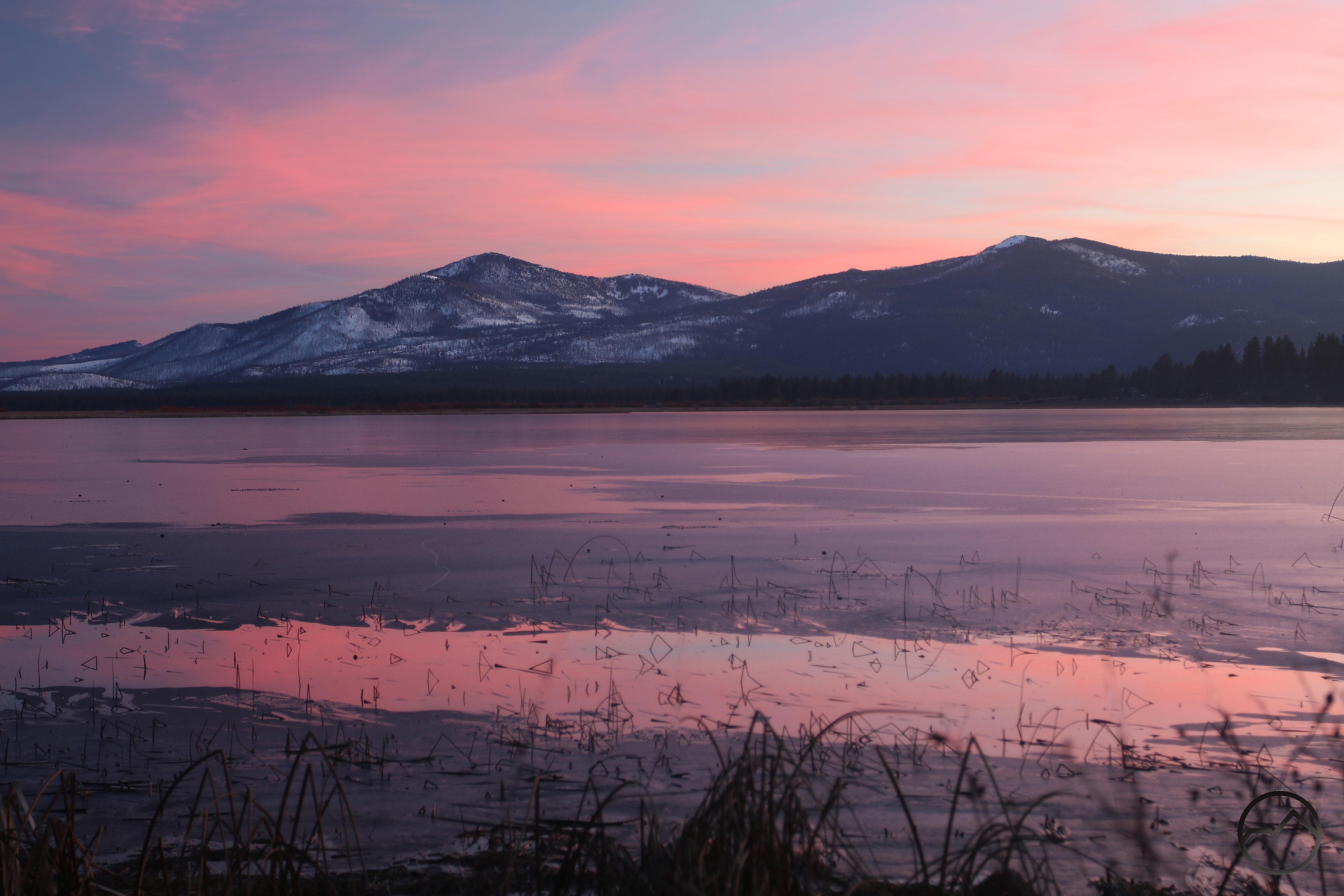
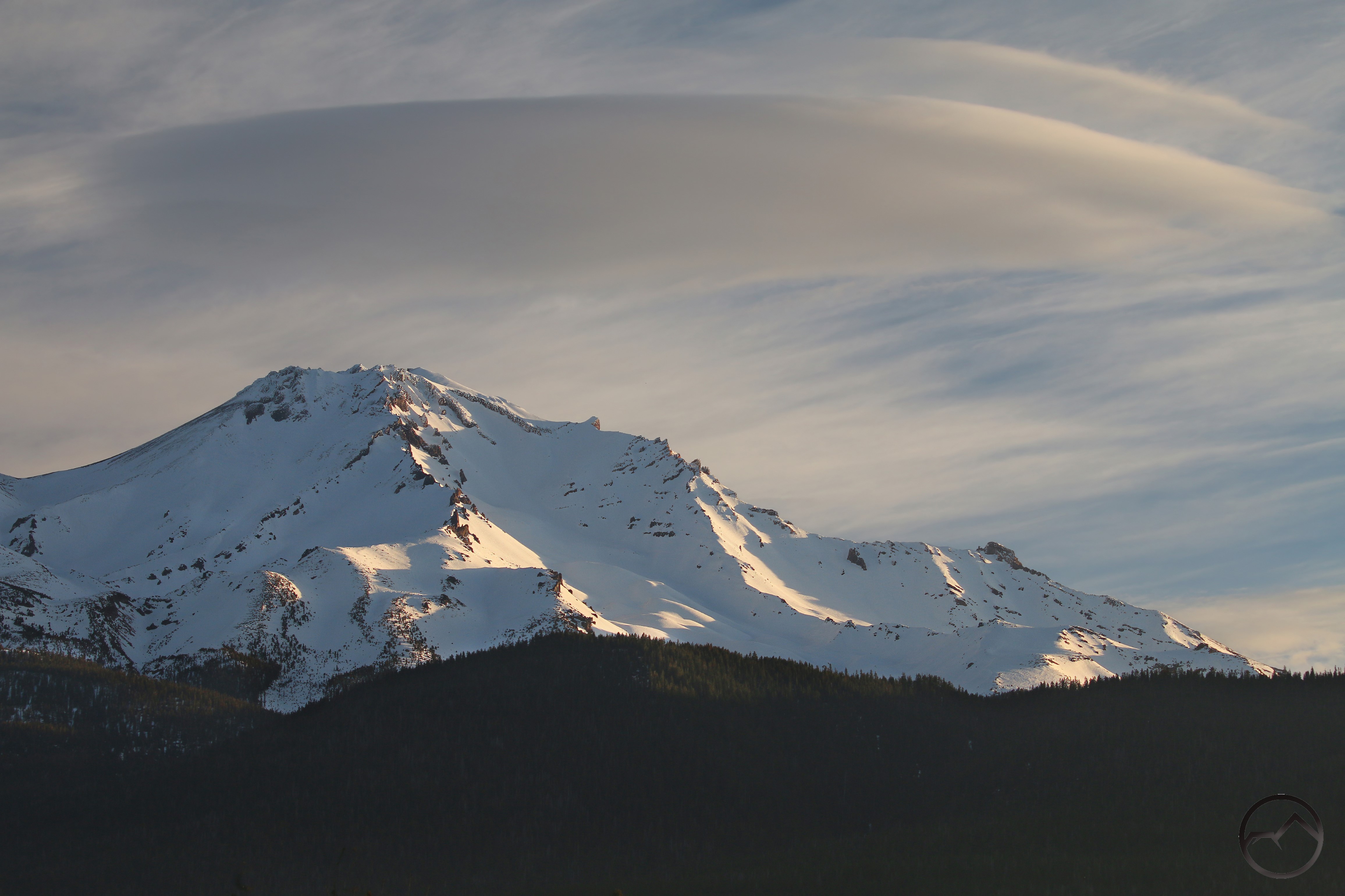
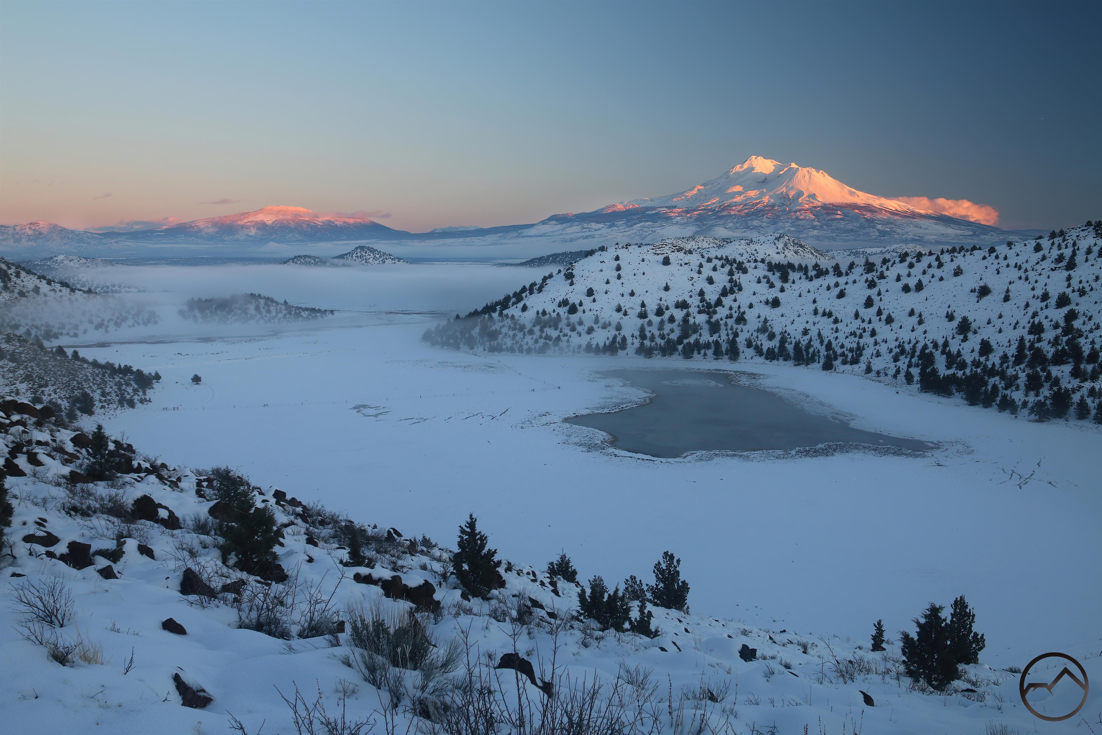
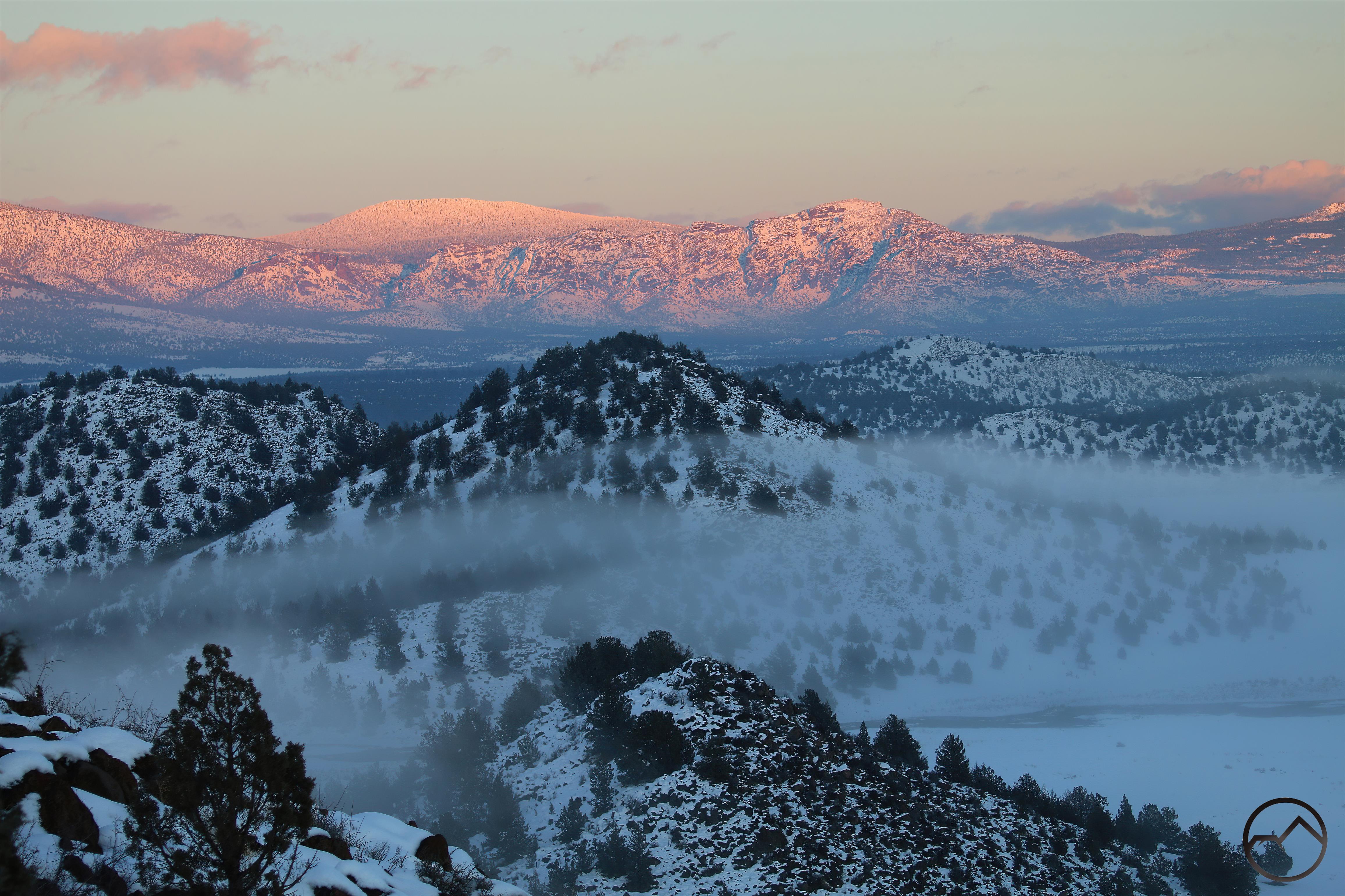
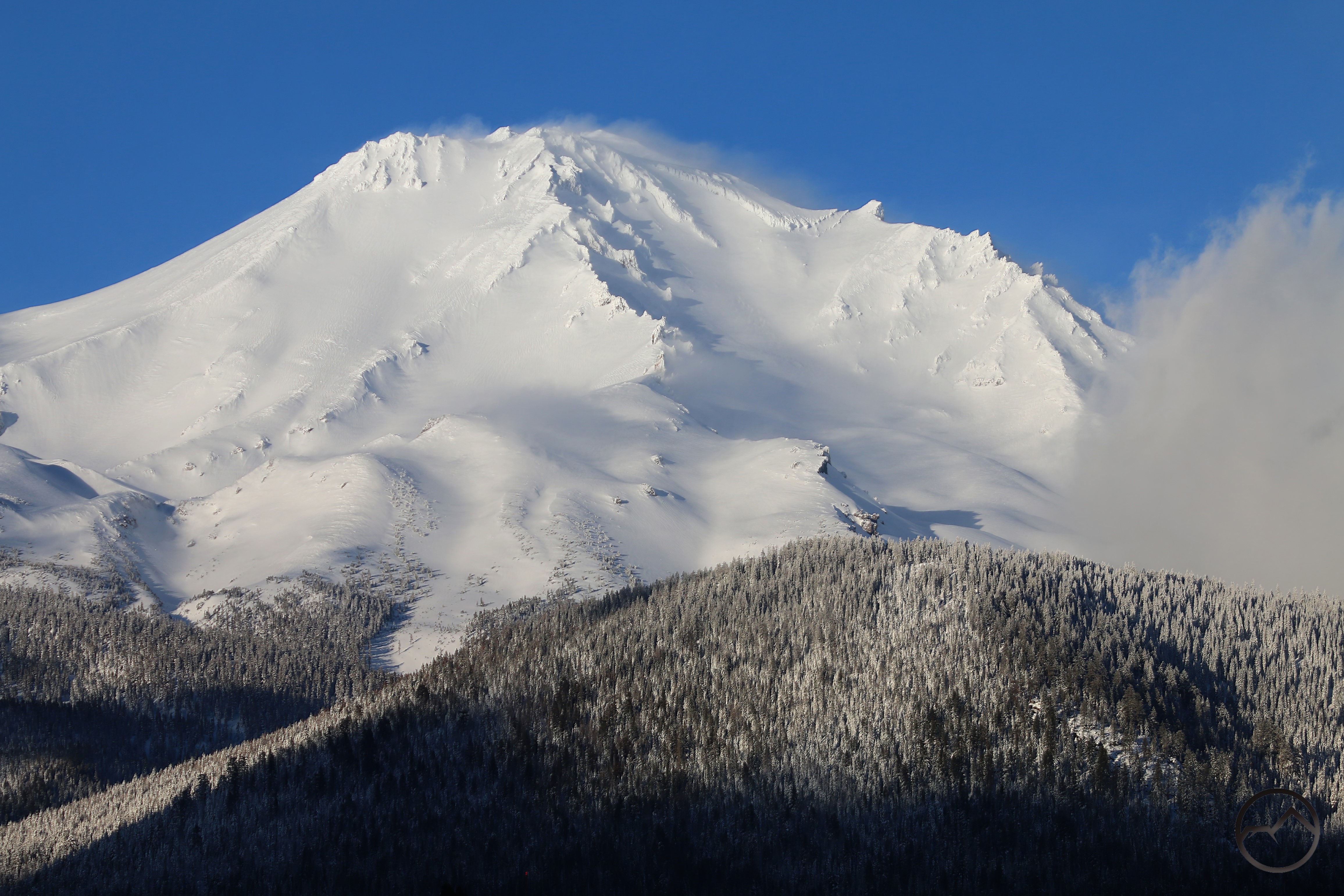
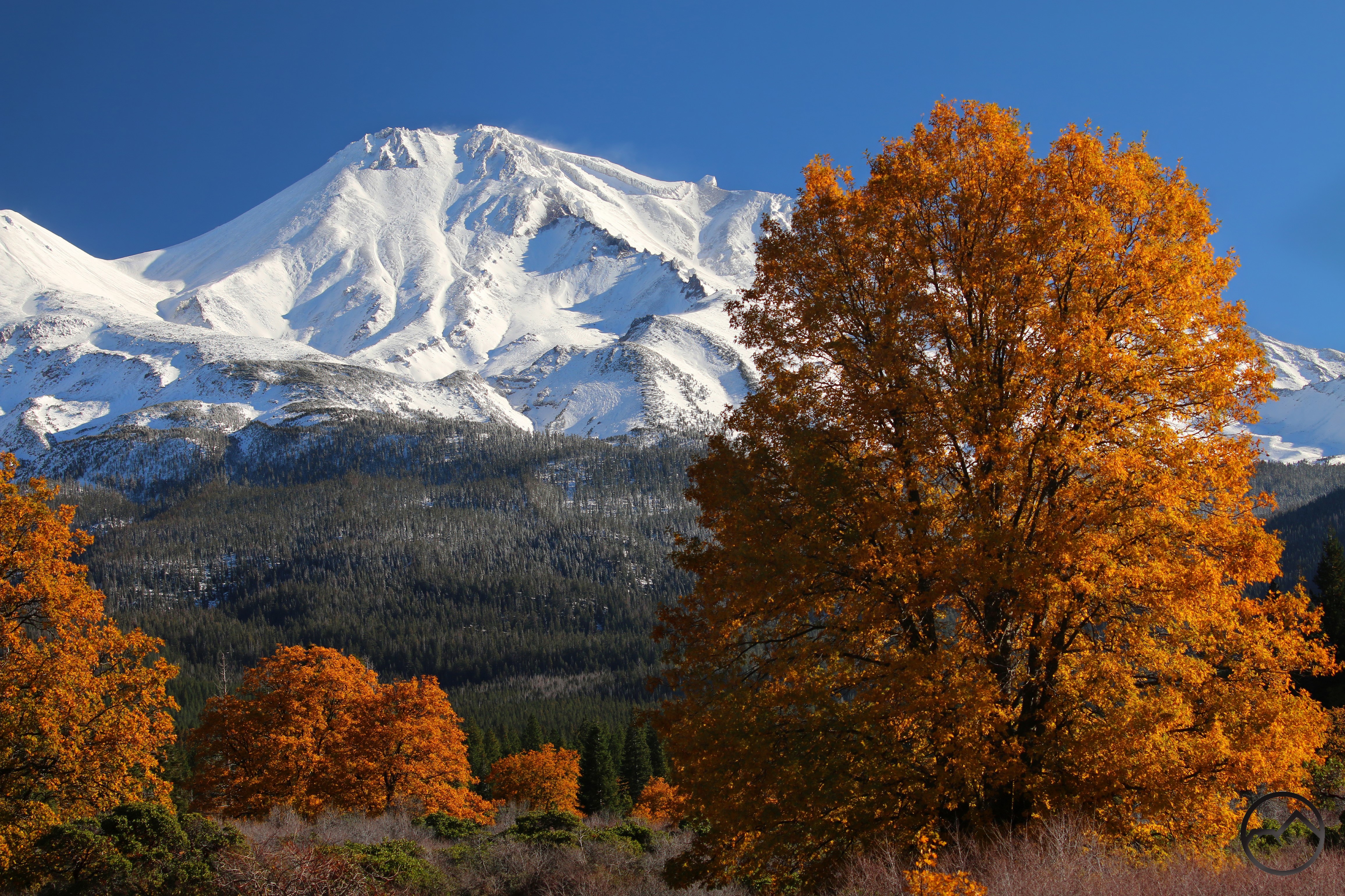
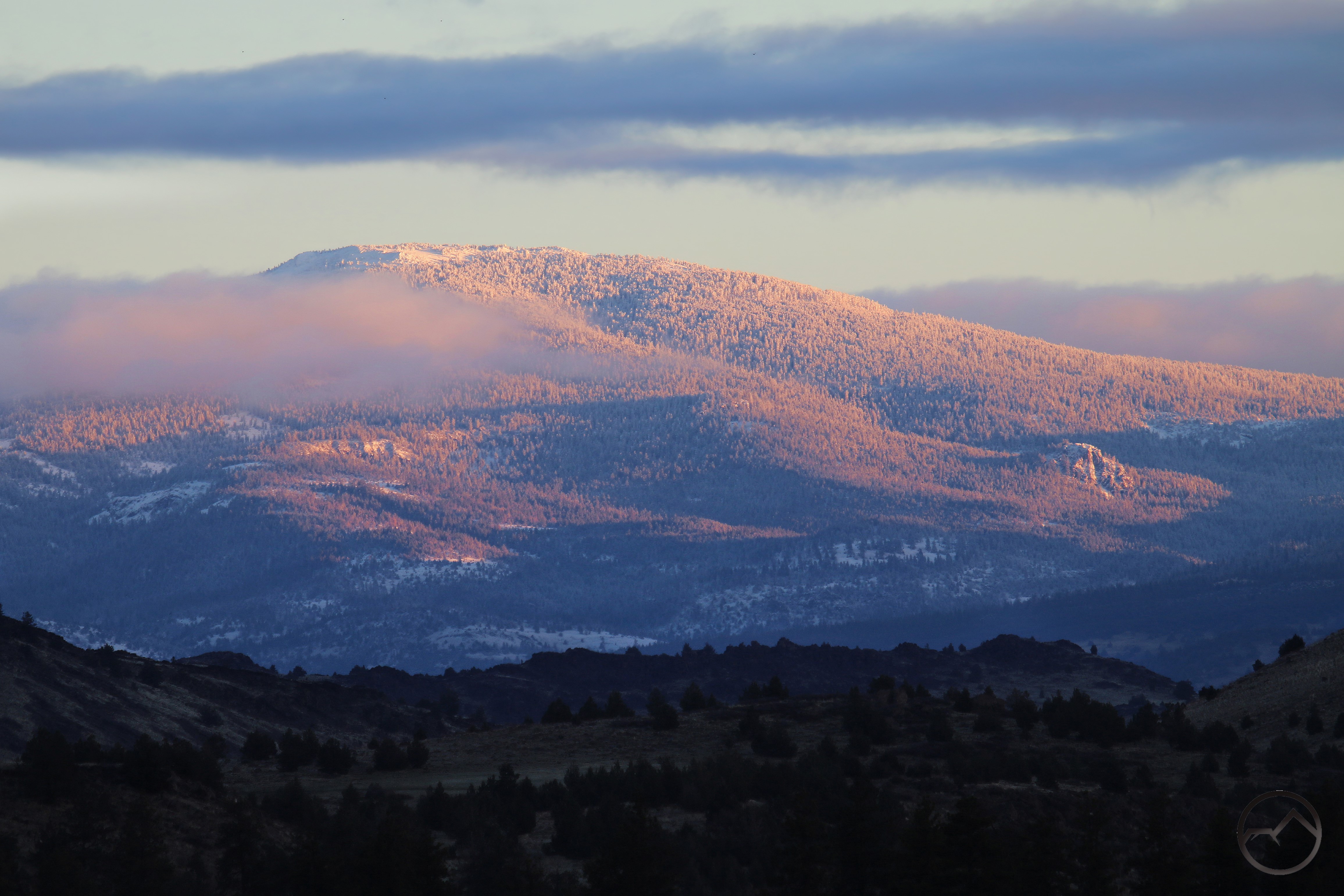
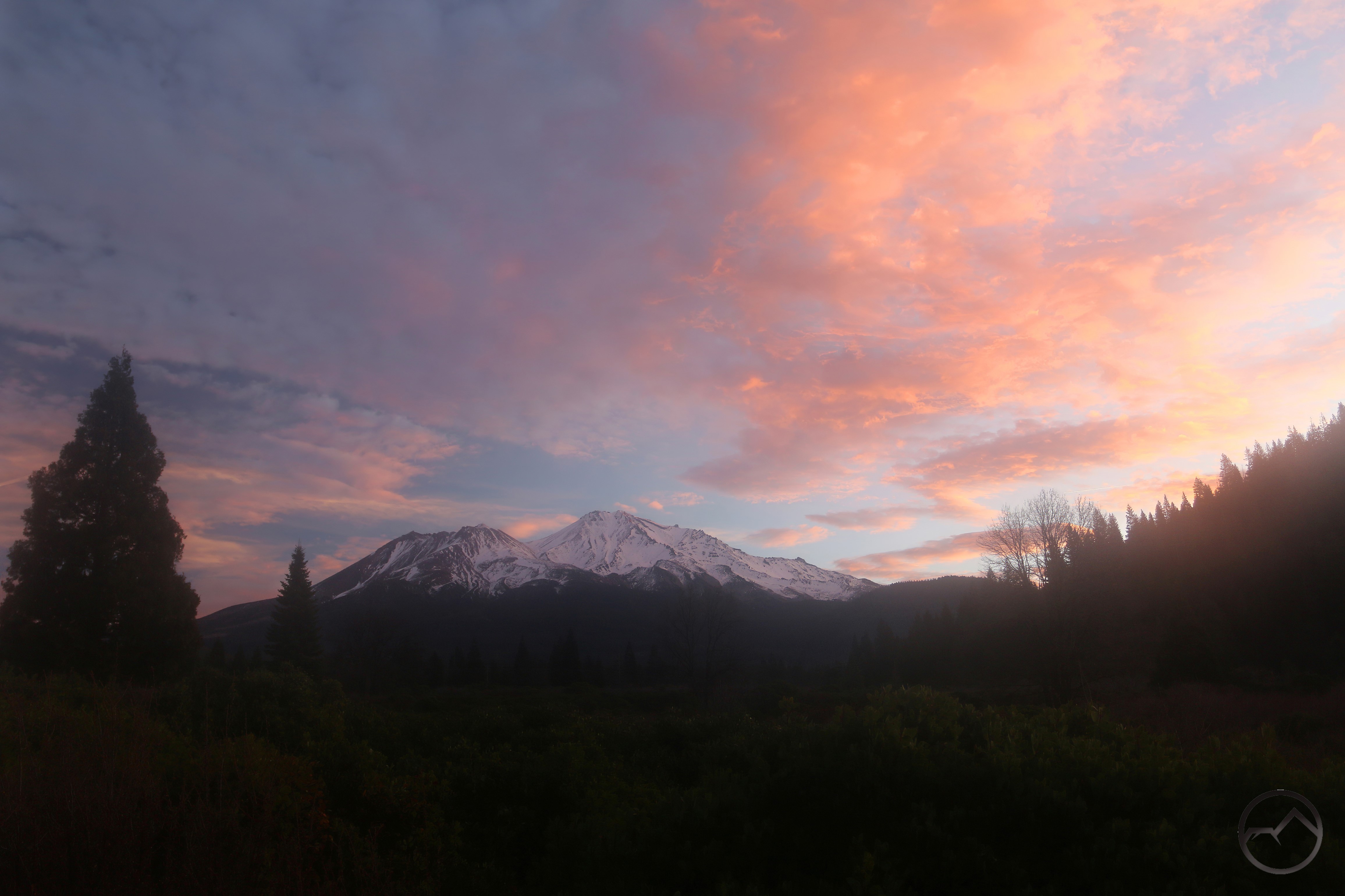
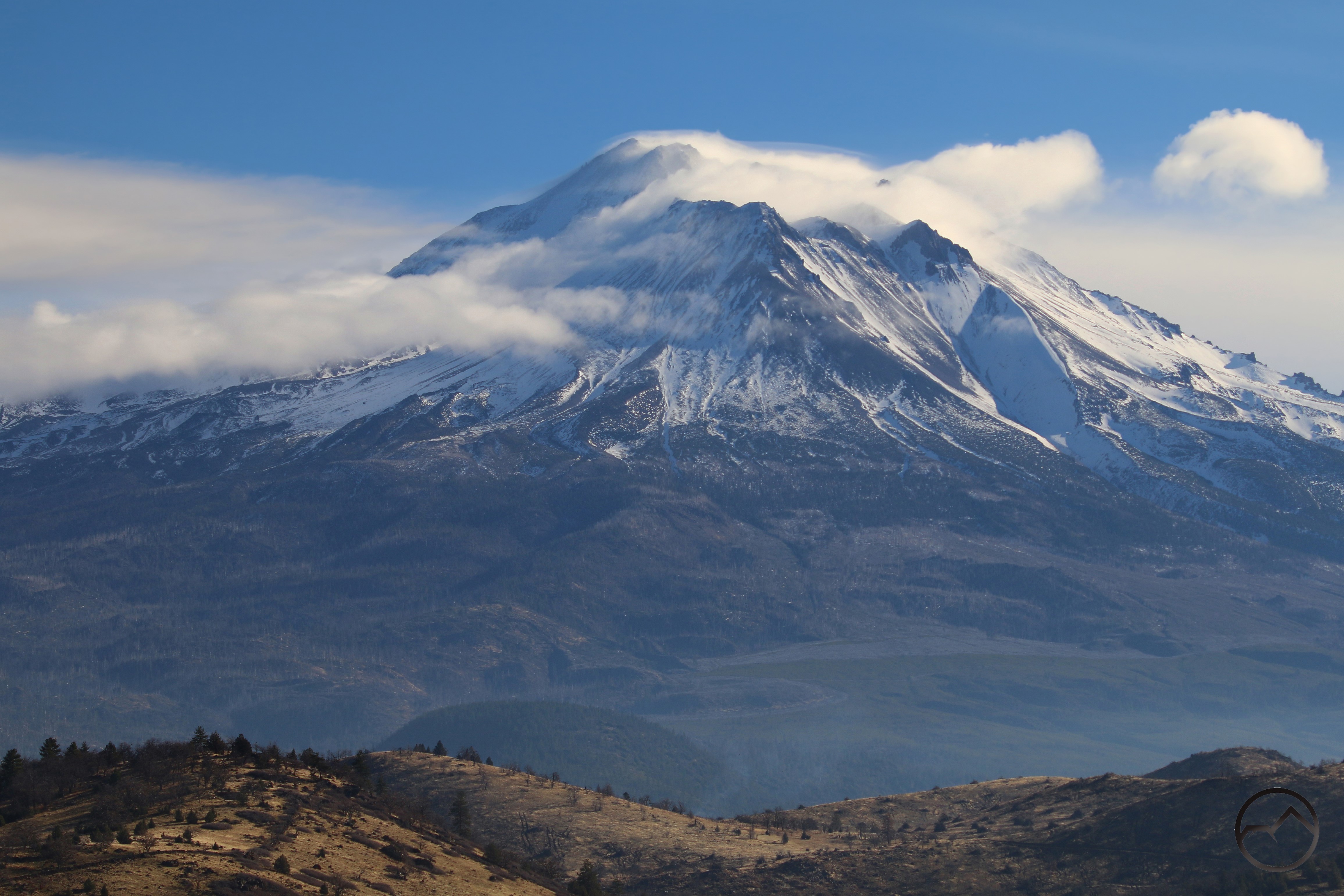
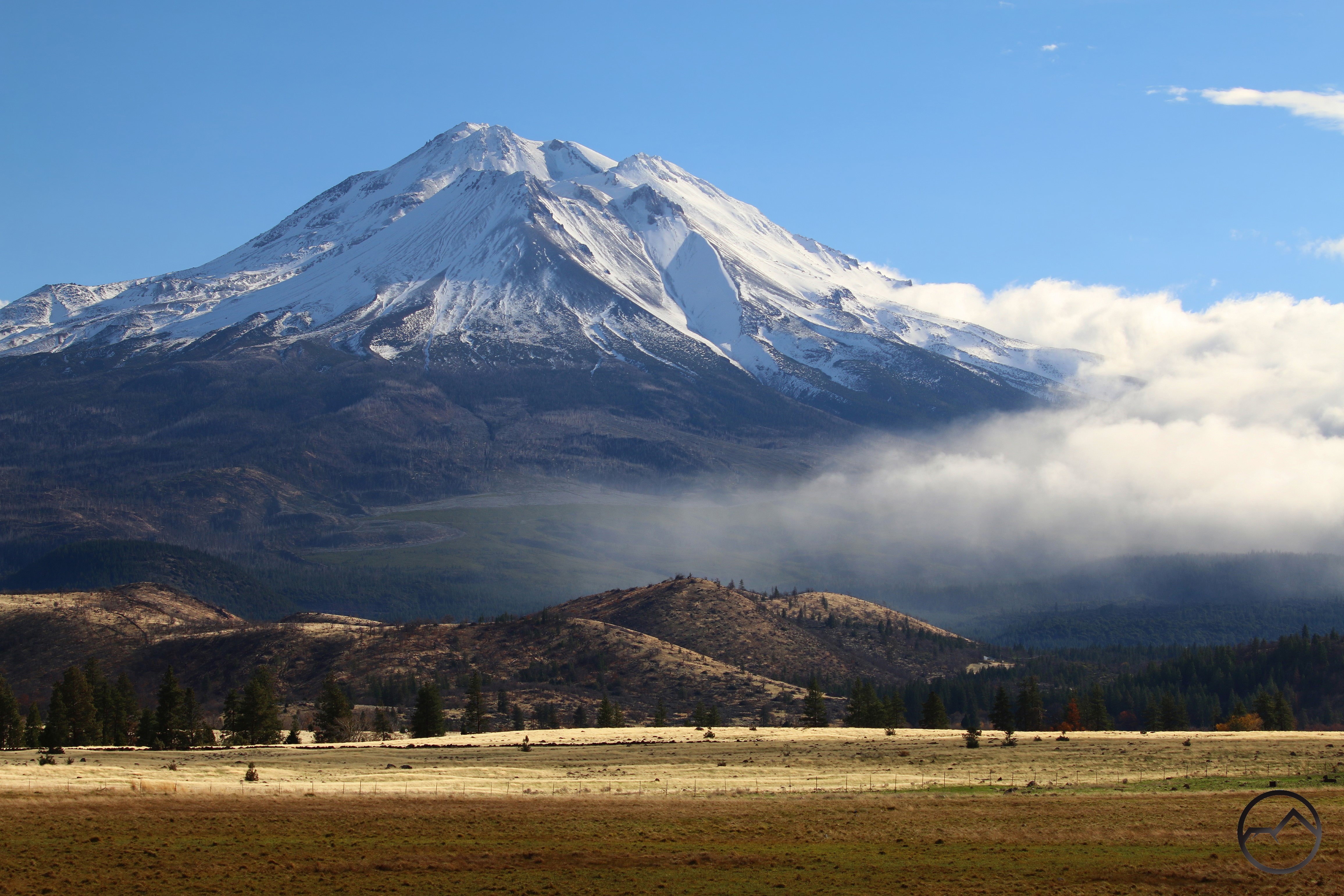
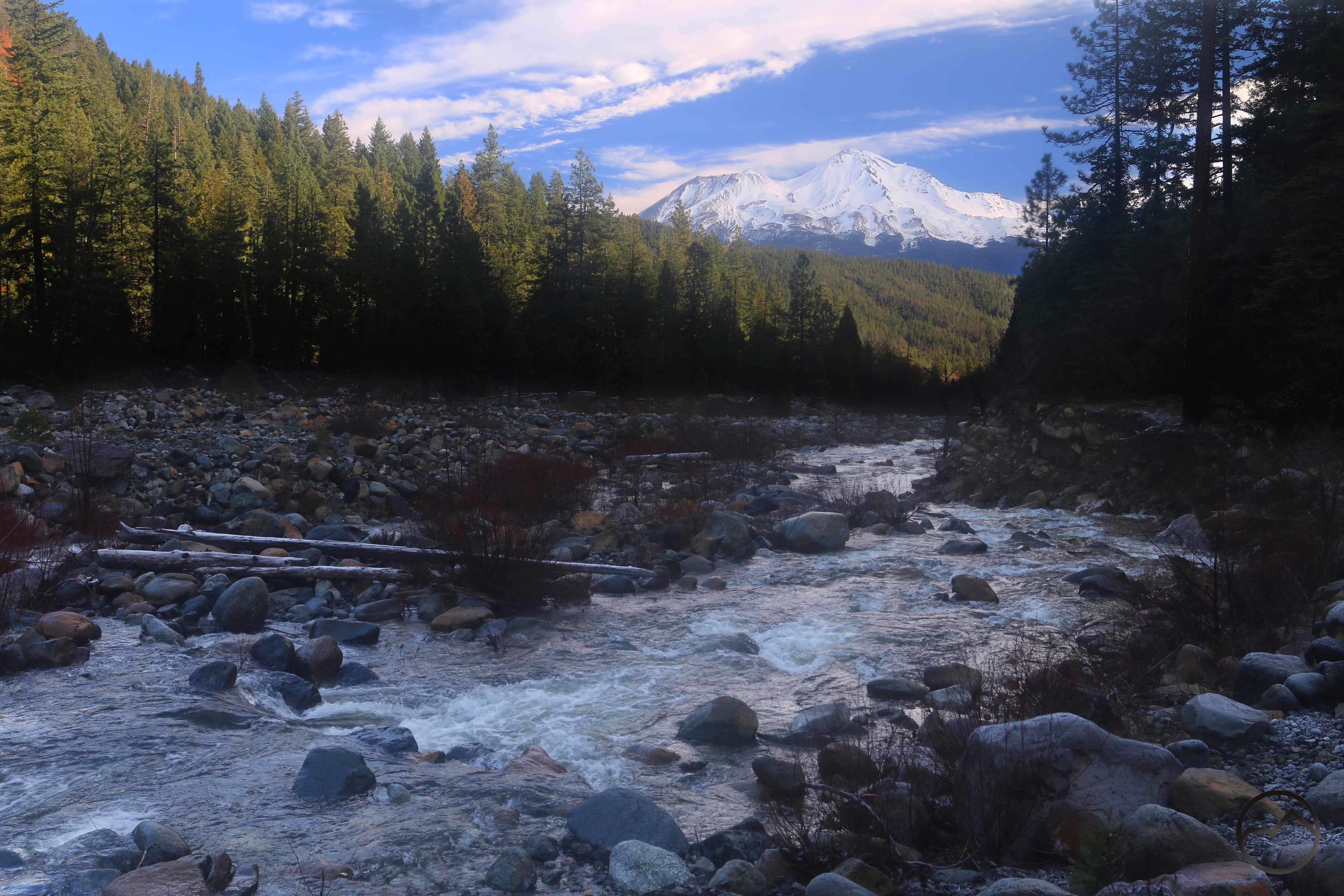
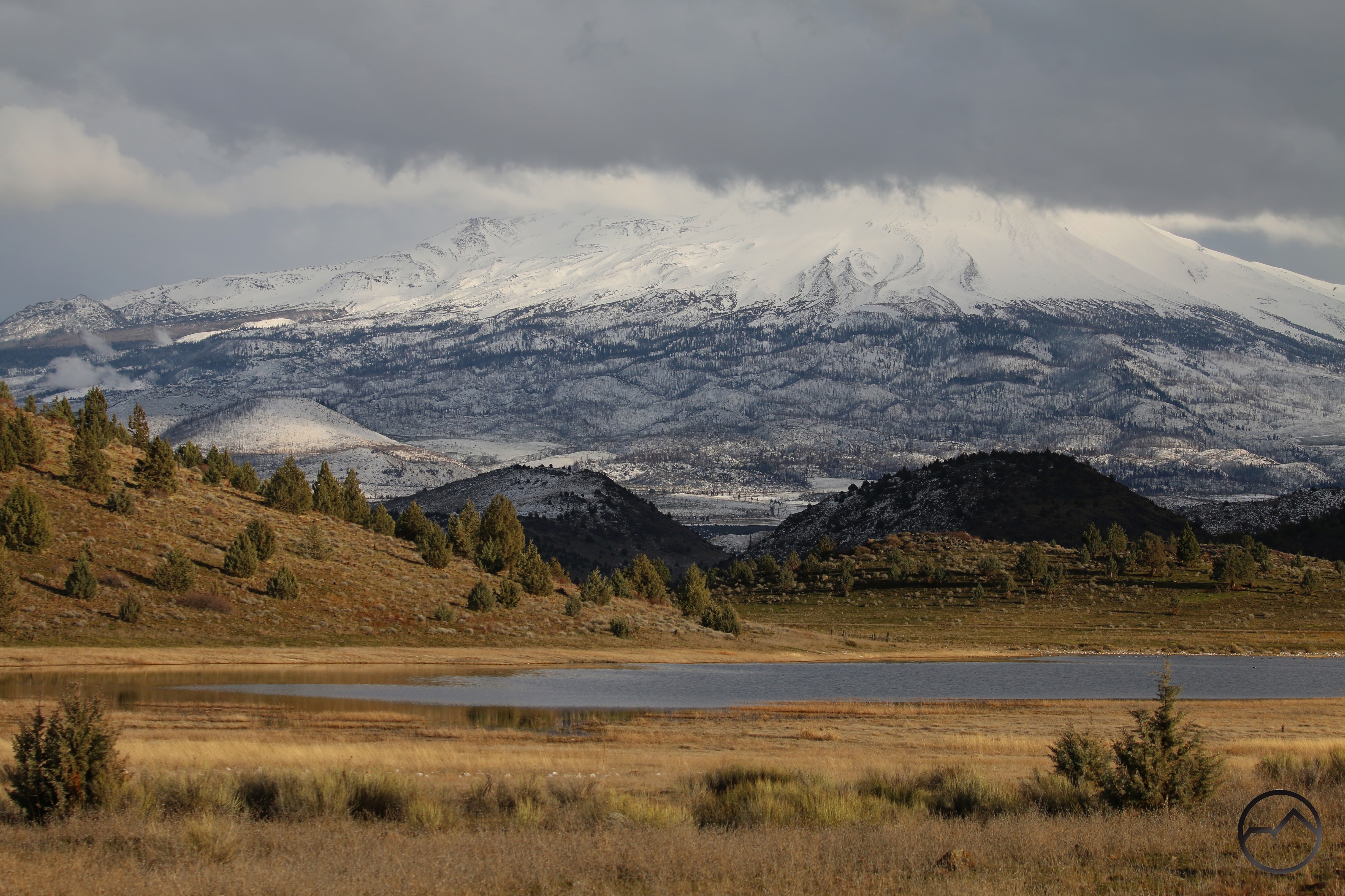
The mountains always look terrific when they are textured with fresh snow. The waves in the ice etched by the wind, the frosted trees and the glittering crags all juxtapose to present a vision of icy glory. Add to that the blue sky and one has the perfect winter vision.
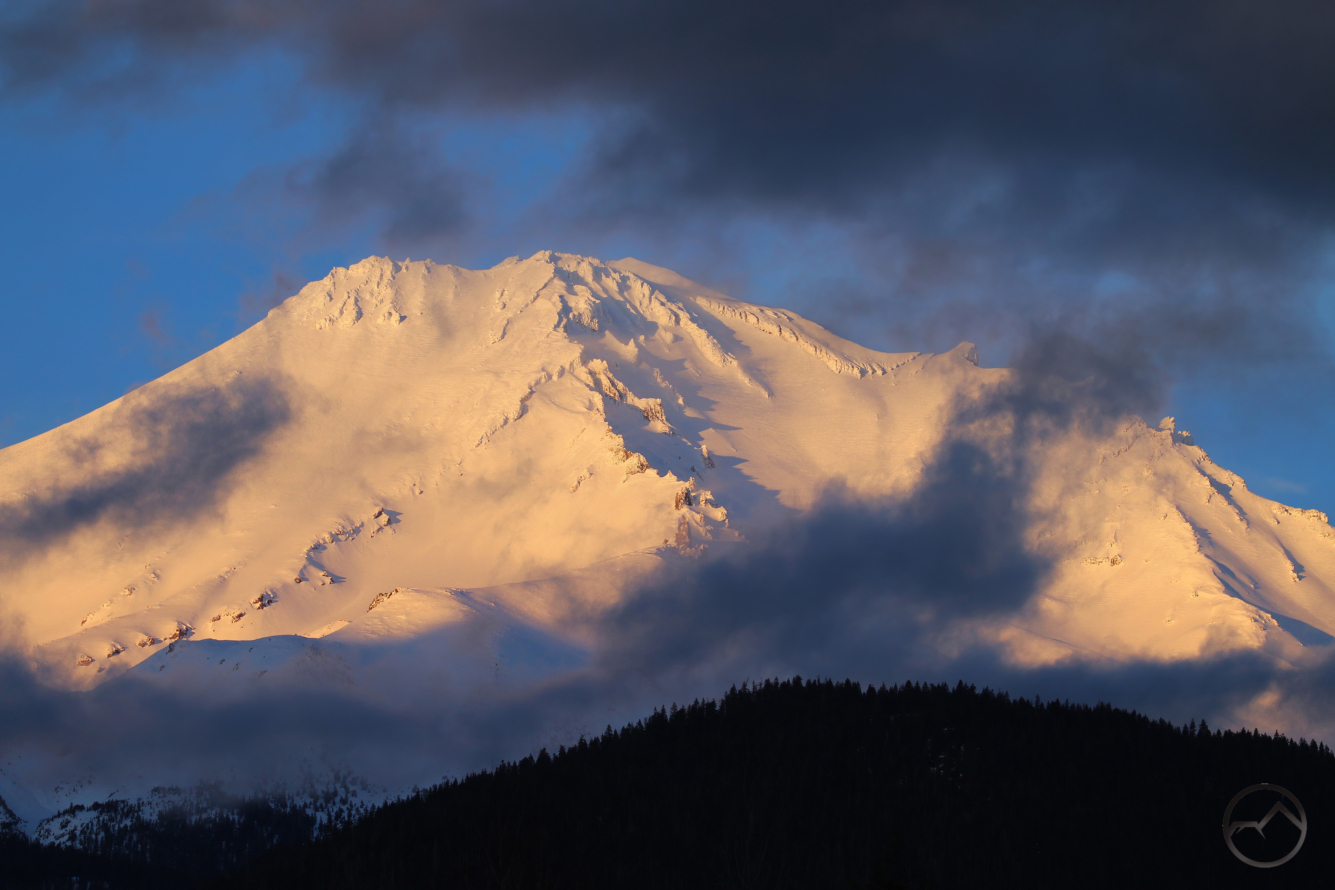
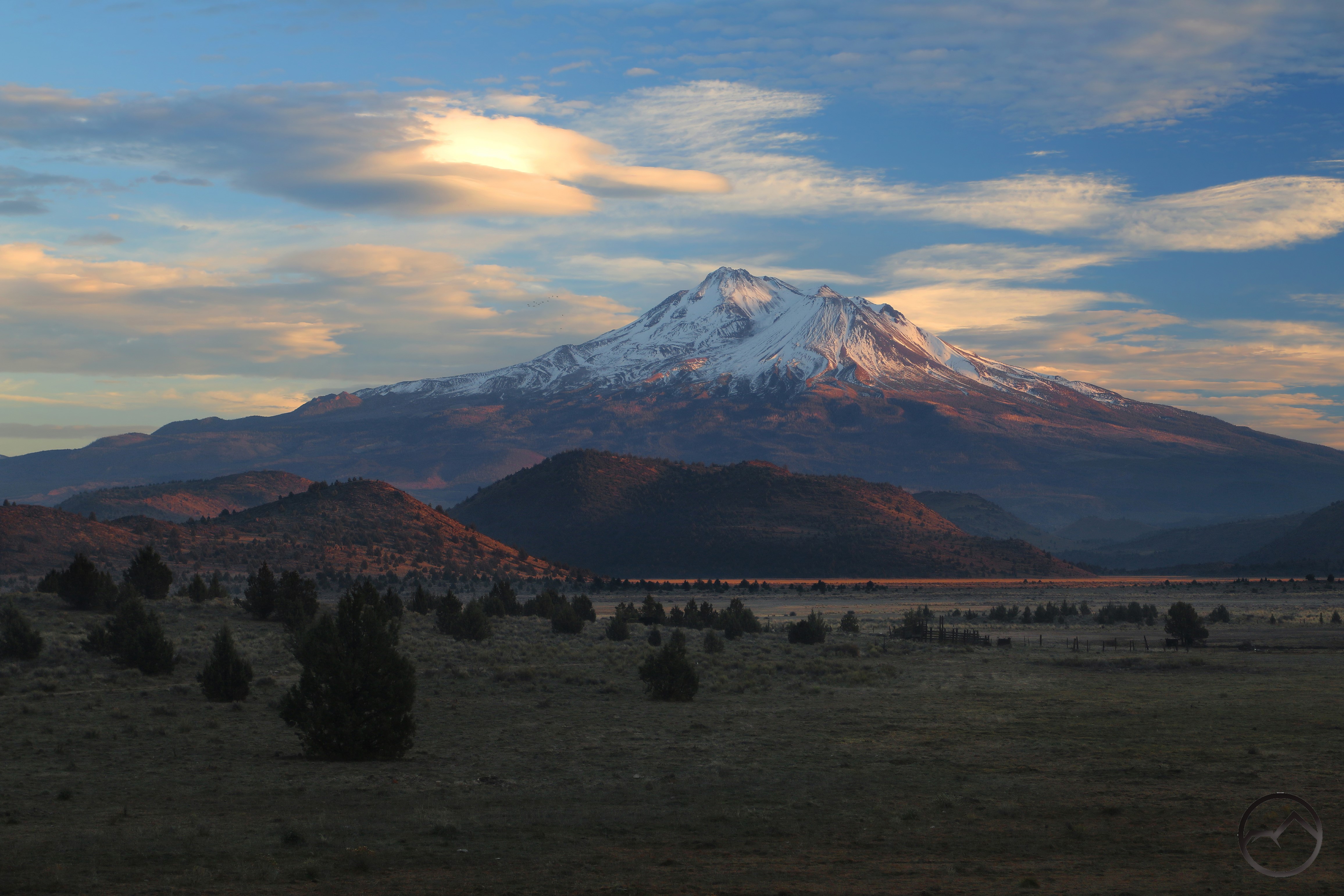
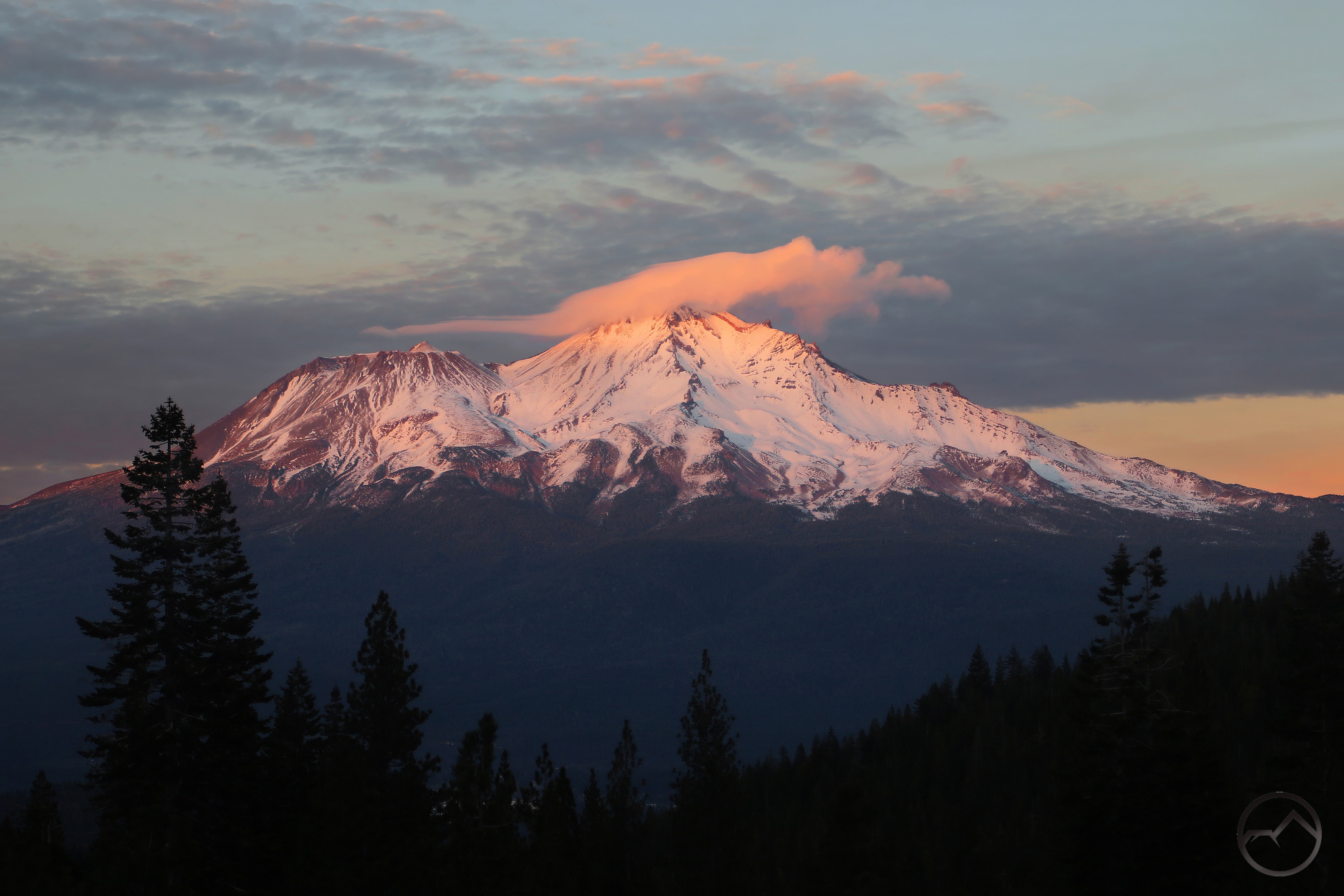
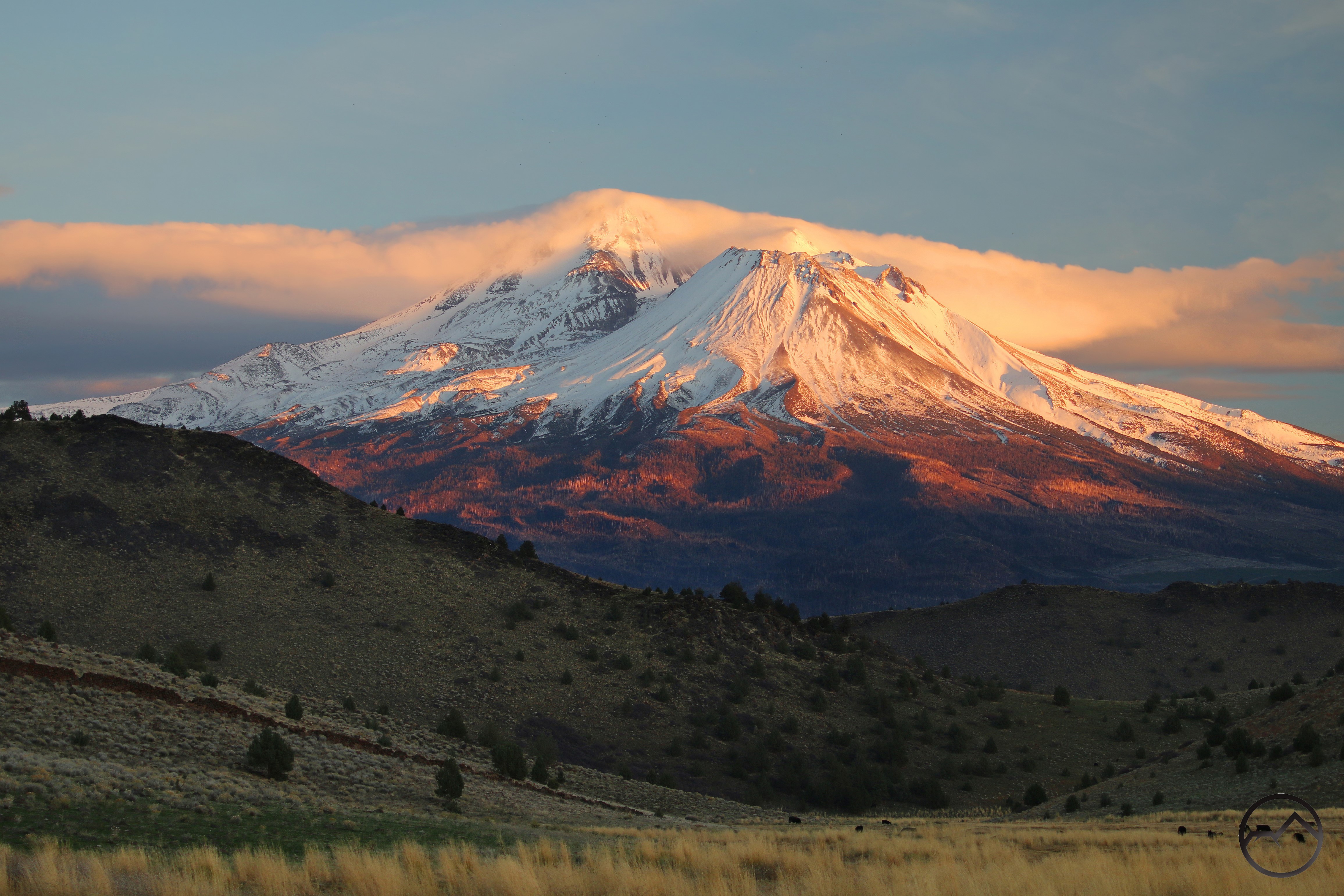
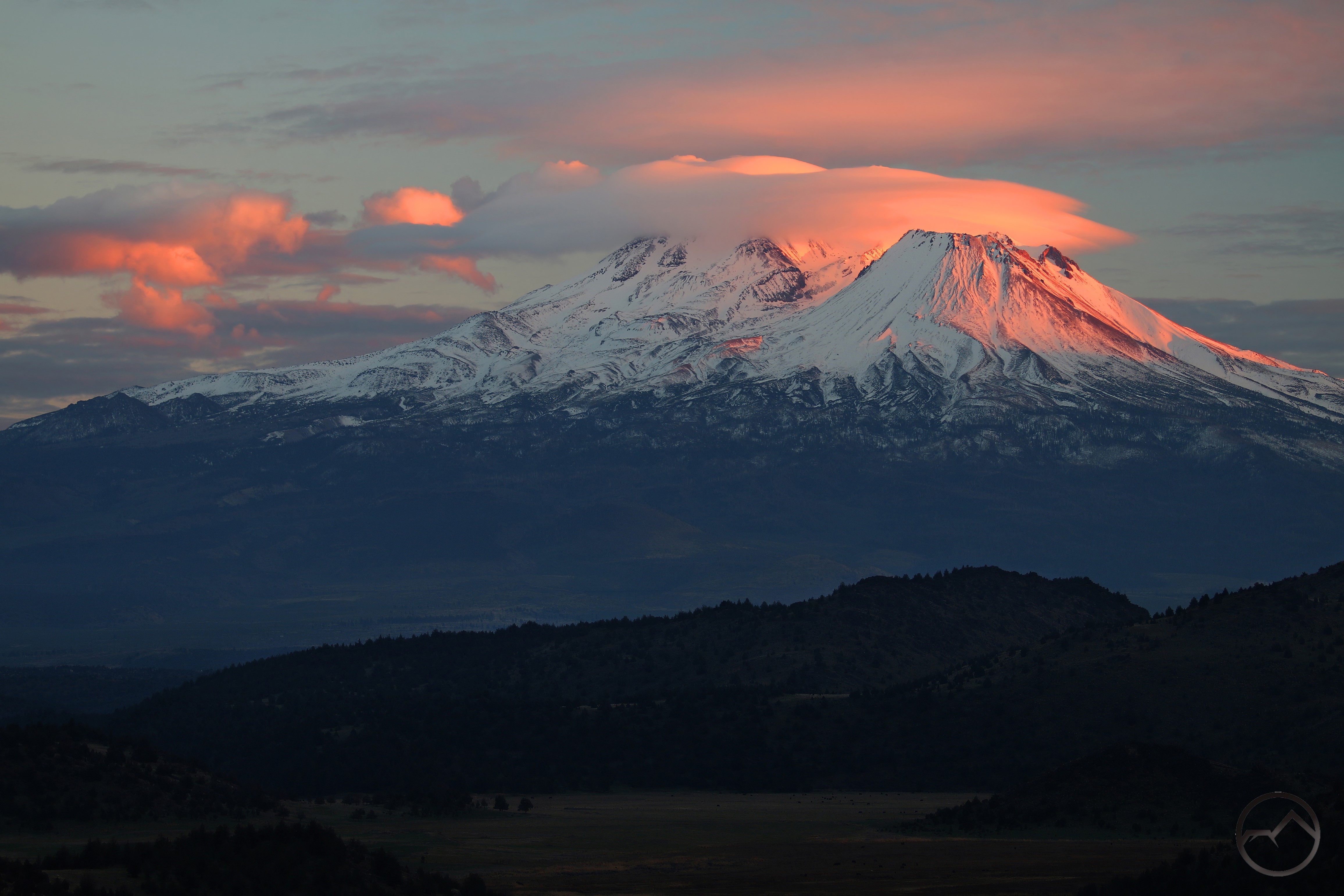
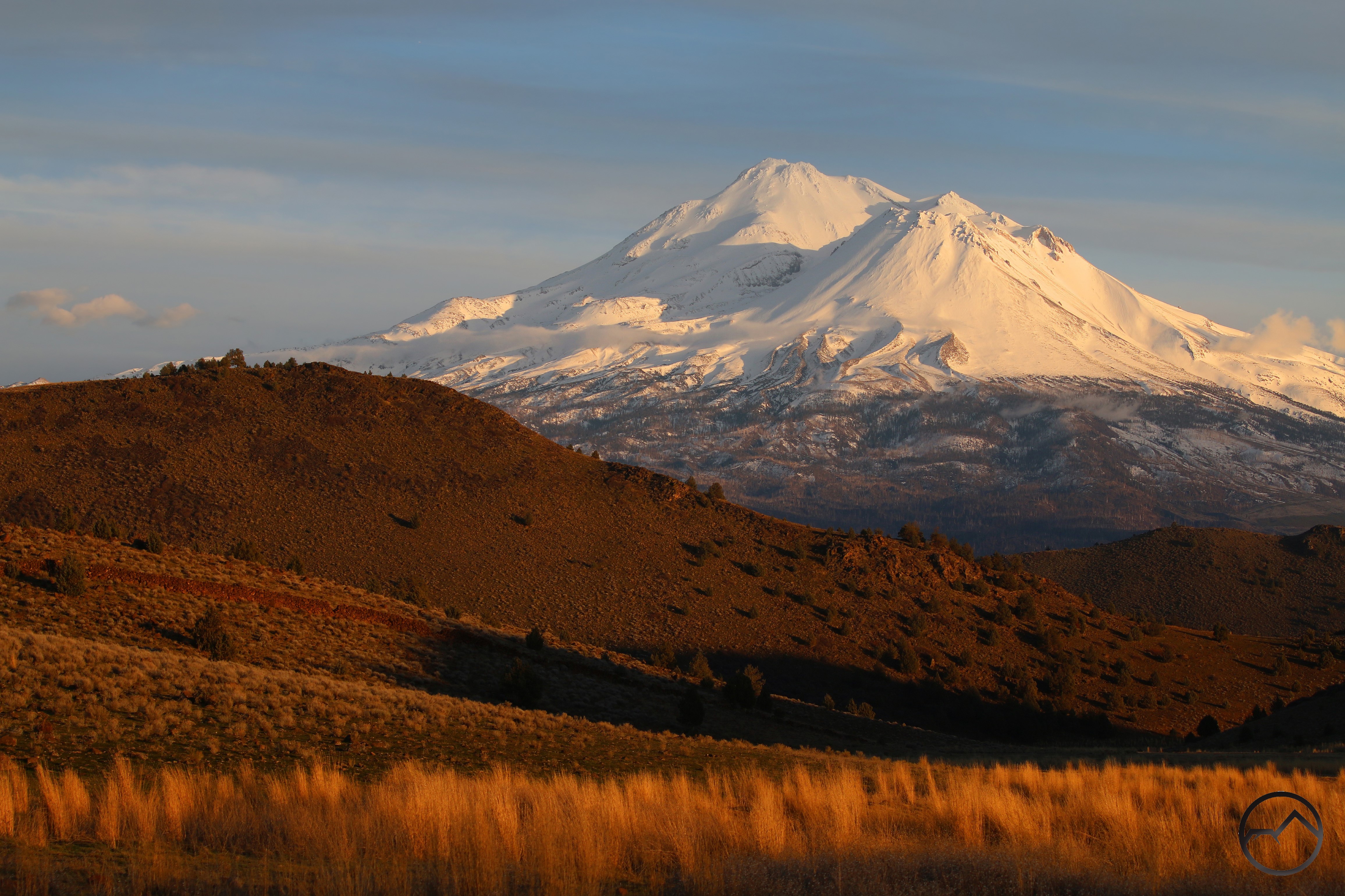
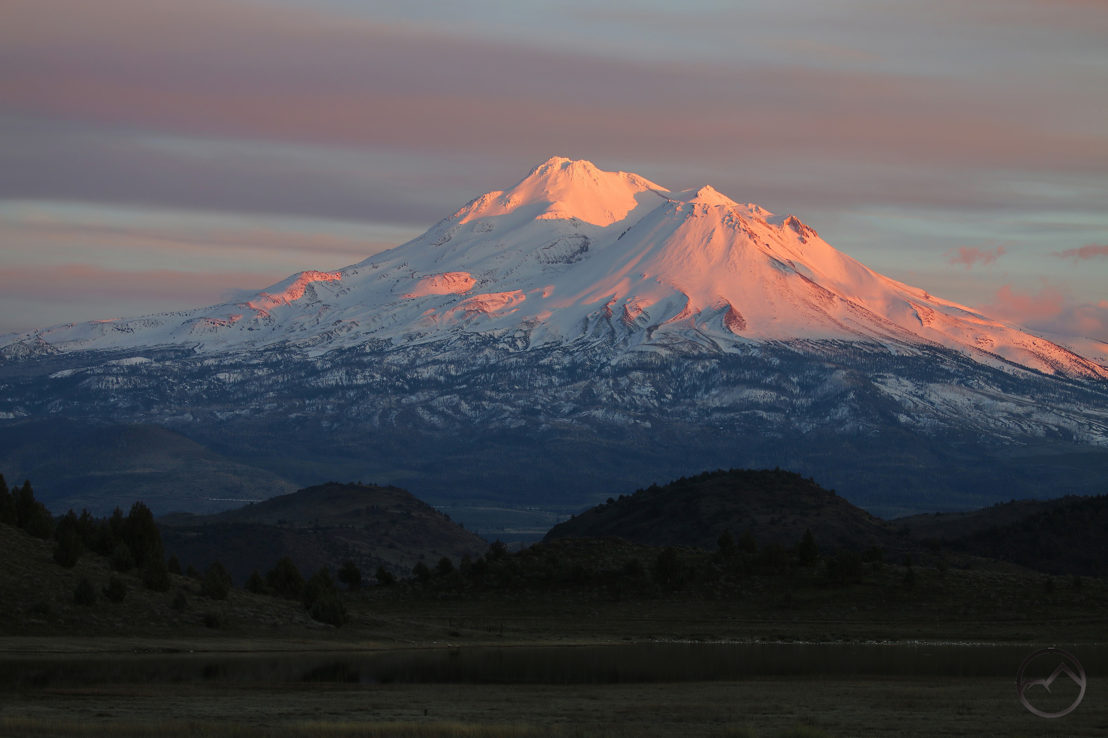
Thus the mountain was covered with a fresh new layer of snow. It looks fantastic right now. The image above was taken while dropping my son off at a friends house. With alpenglow drenching the mountain, how can I night set my tripod up in the middle of the street? Cars? What cars?
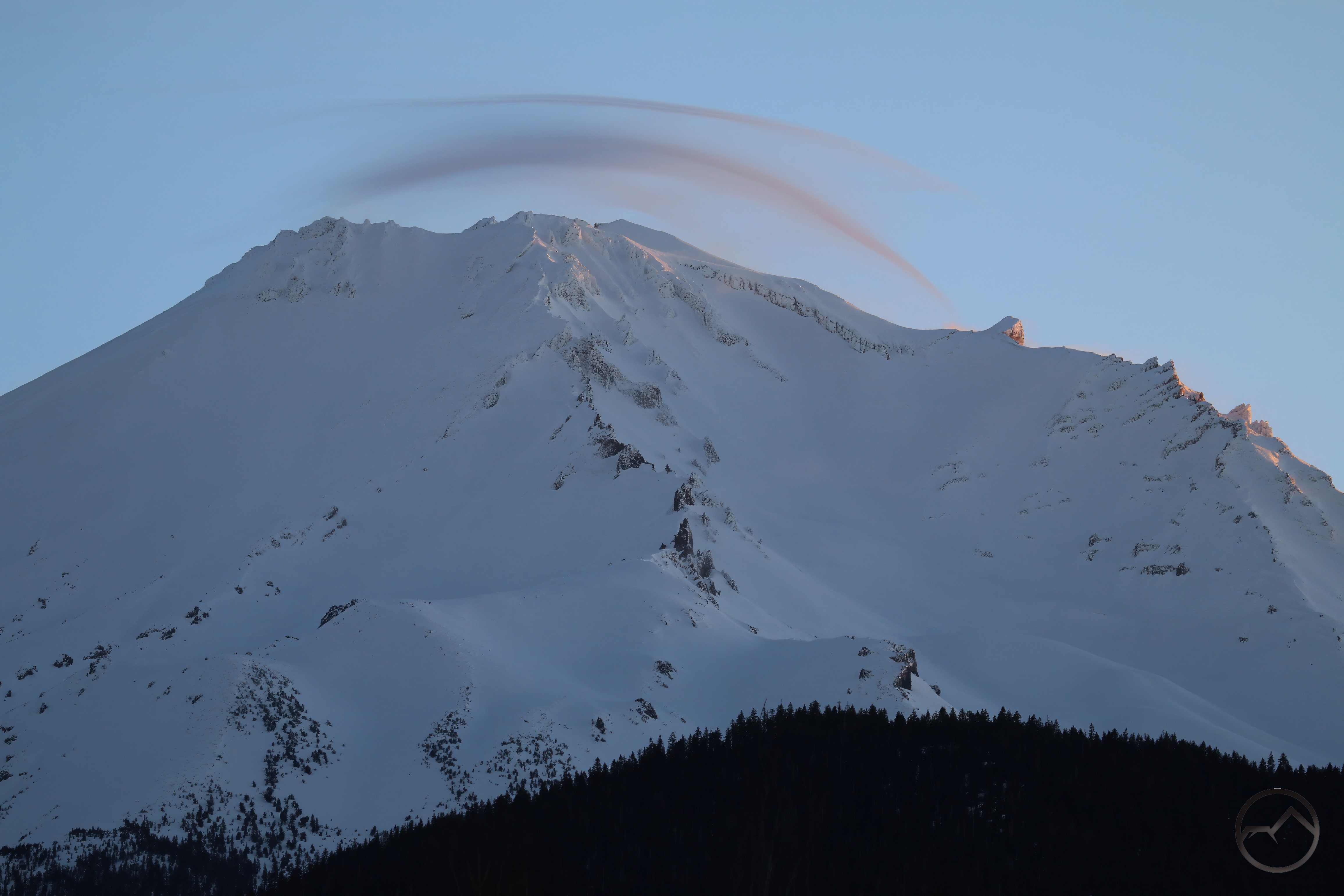
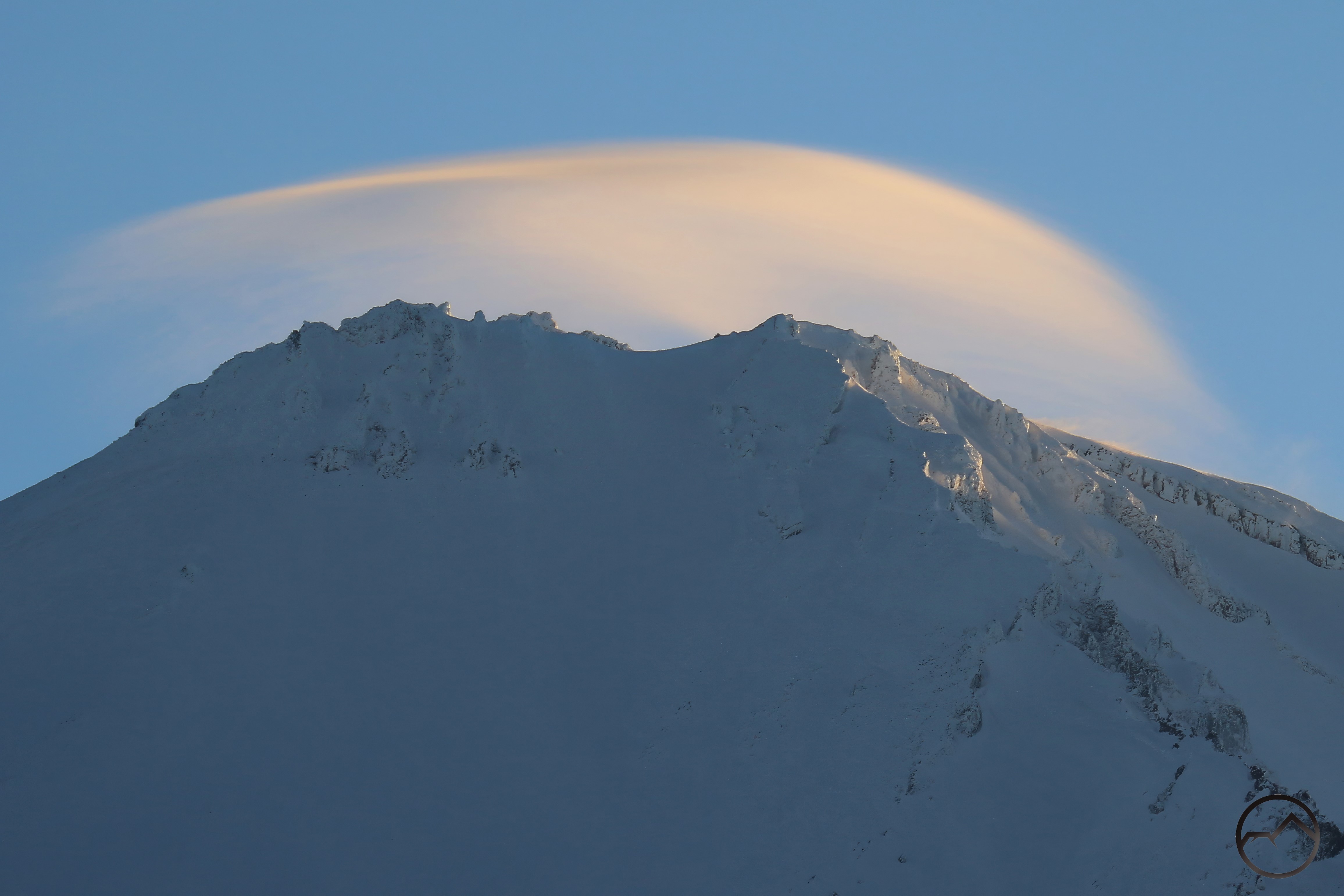
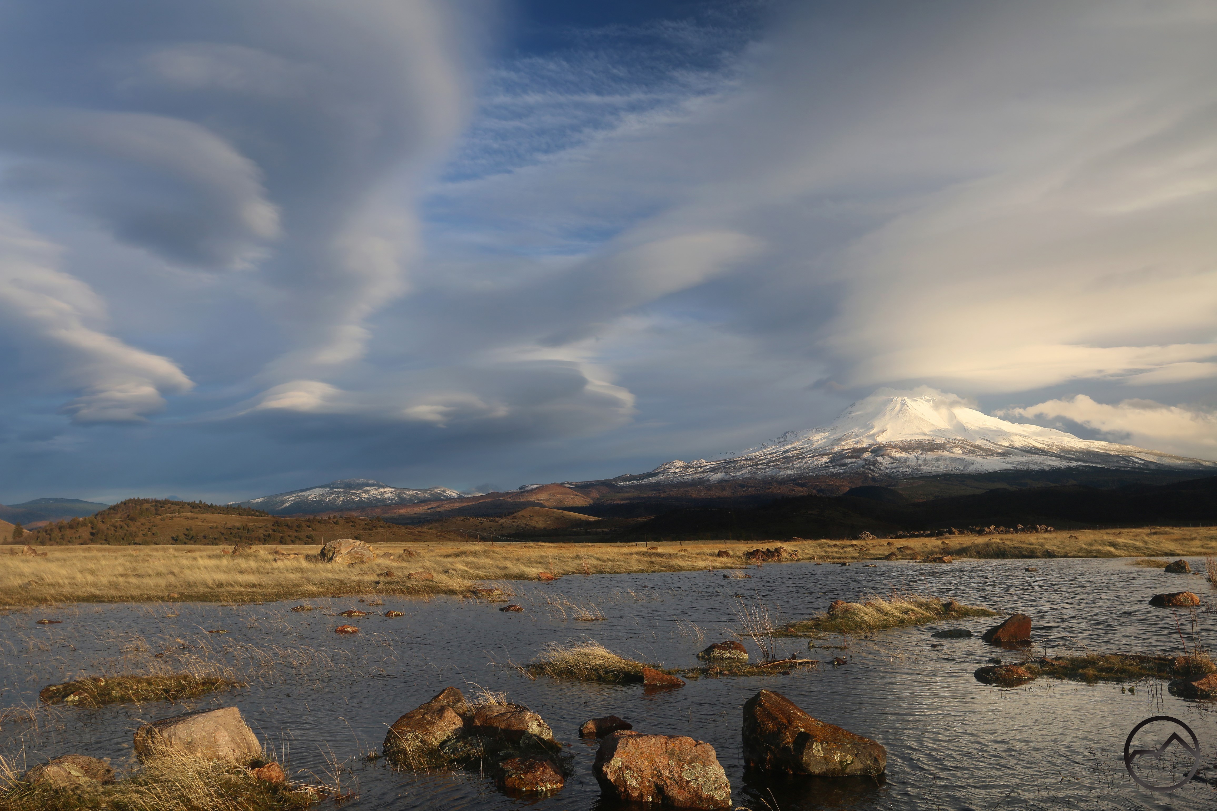
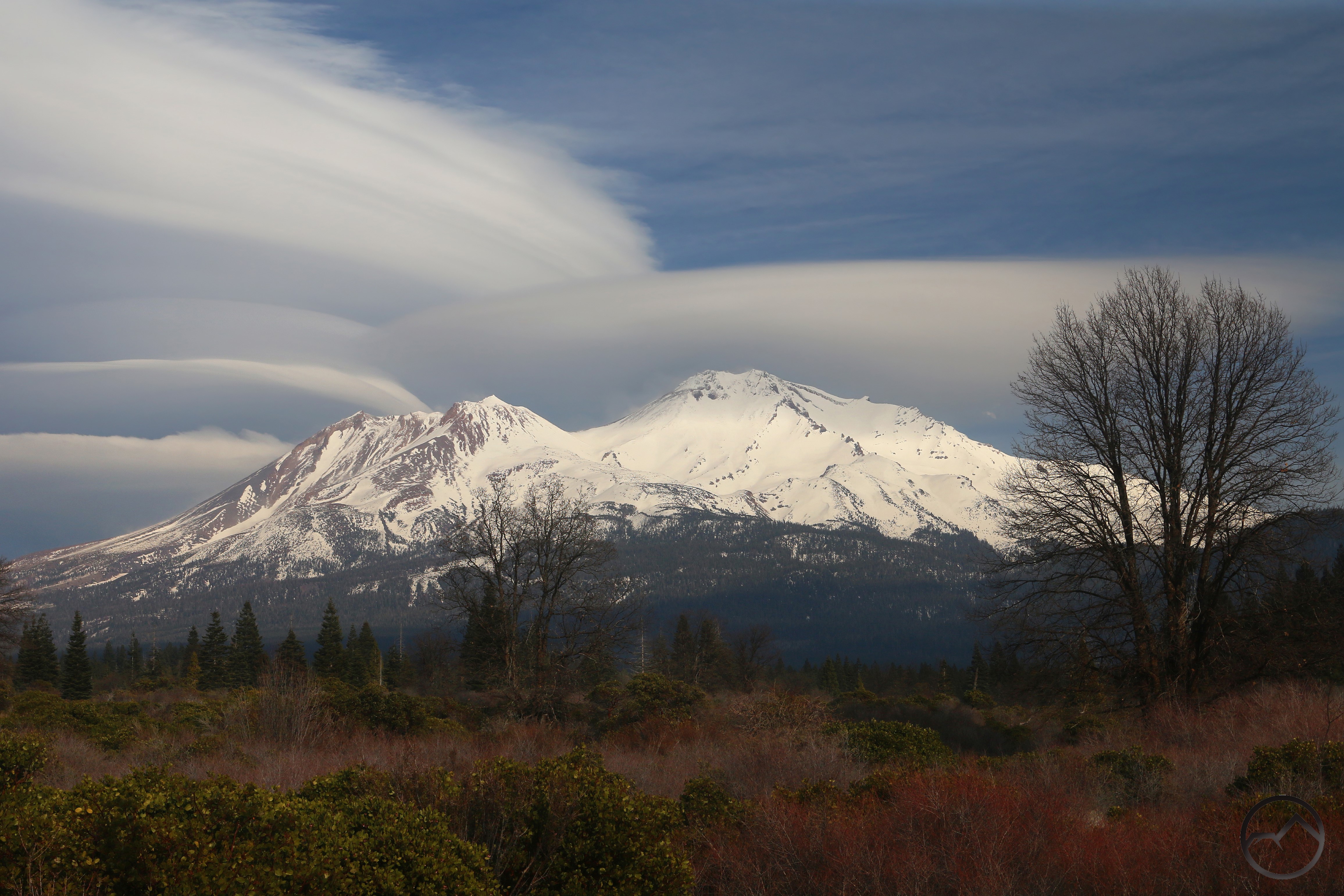
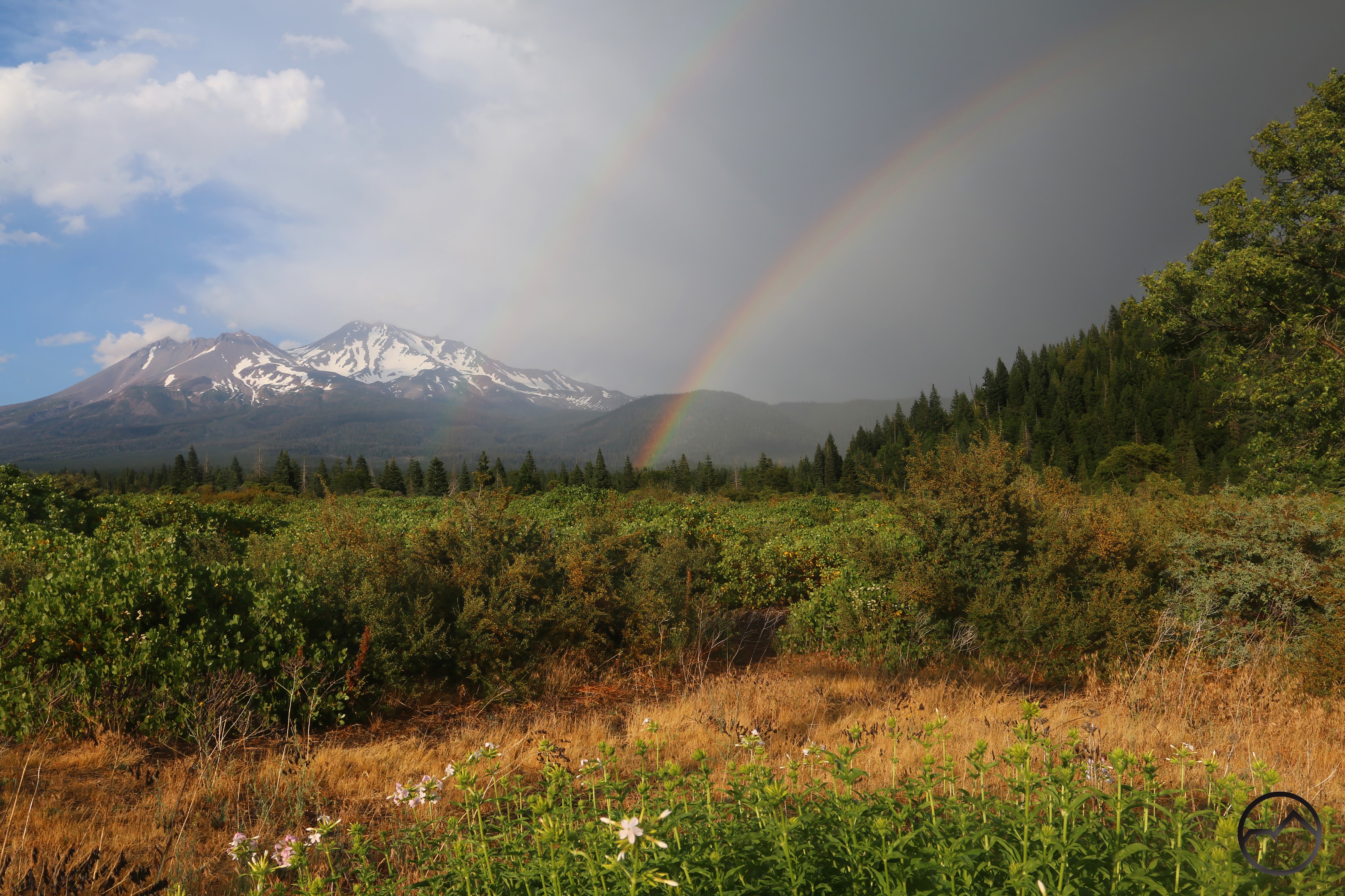
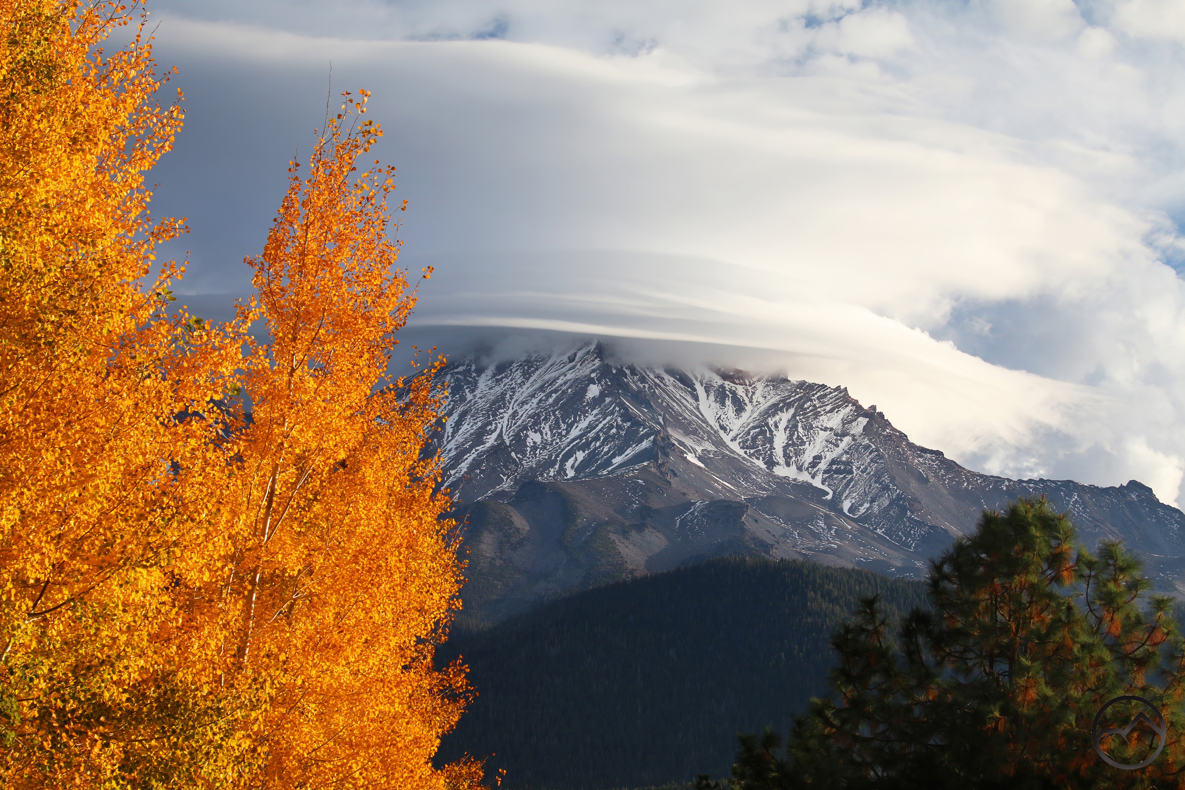
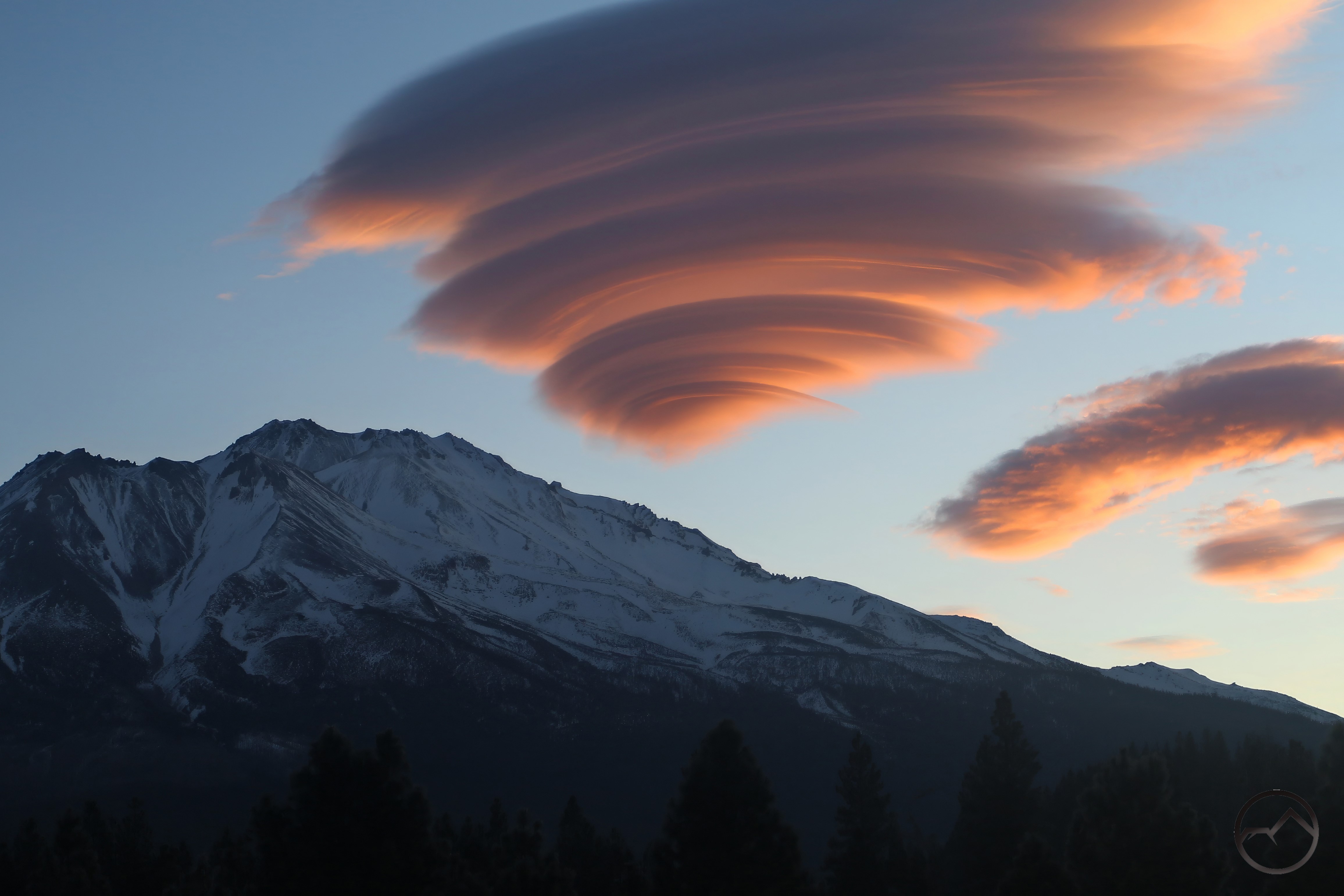
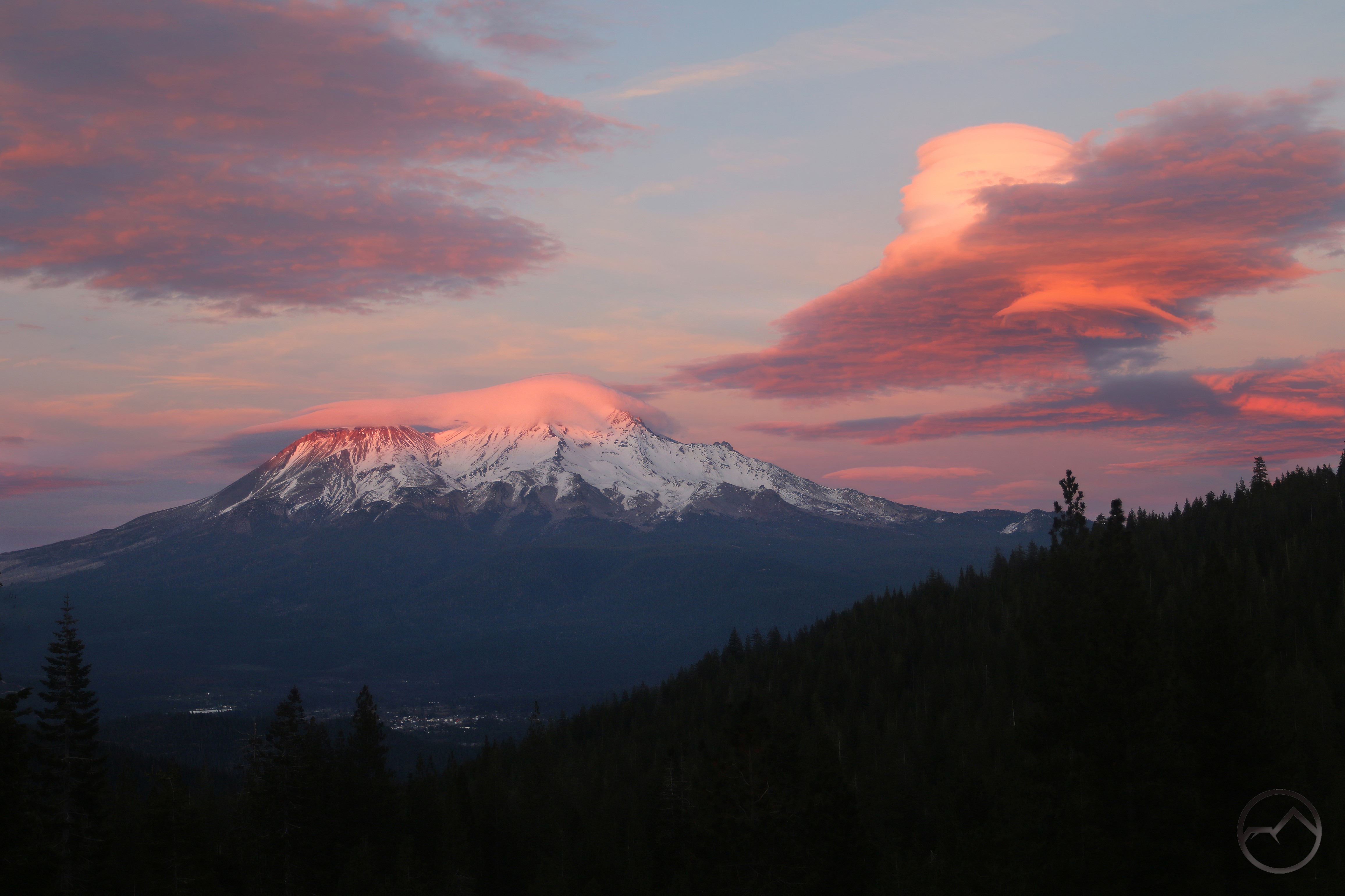
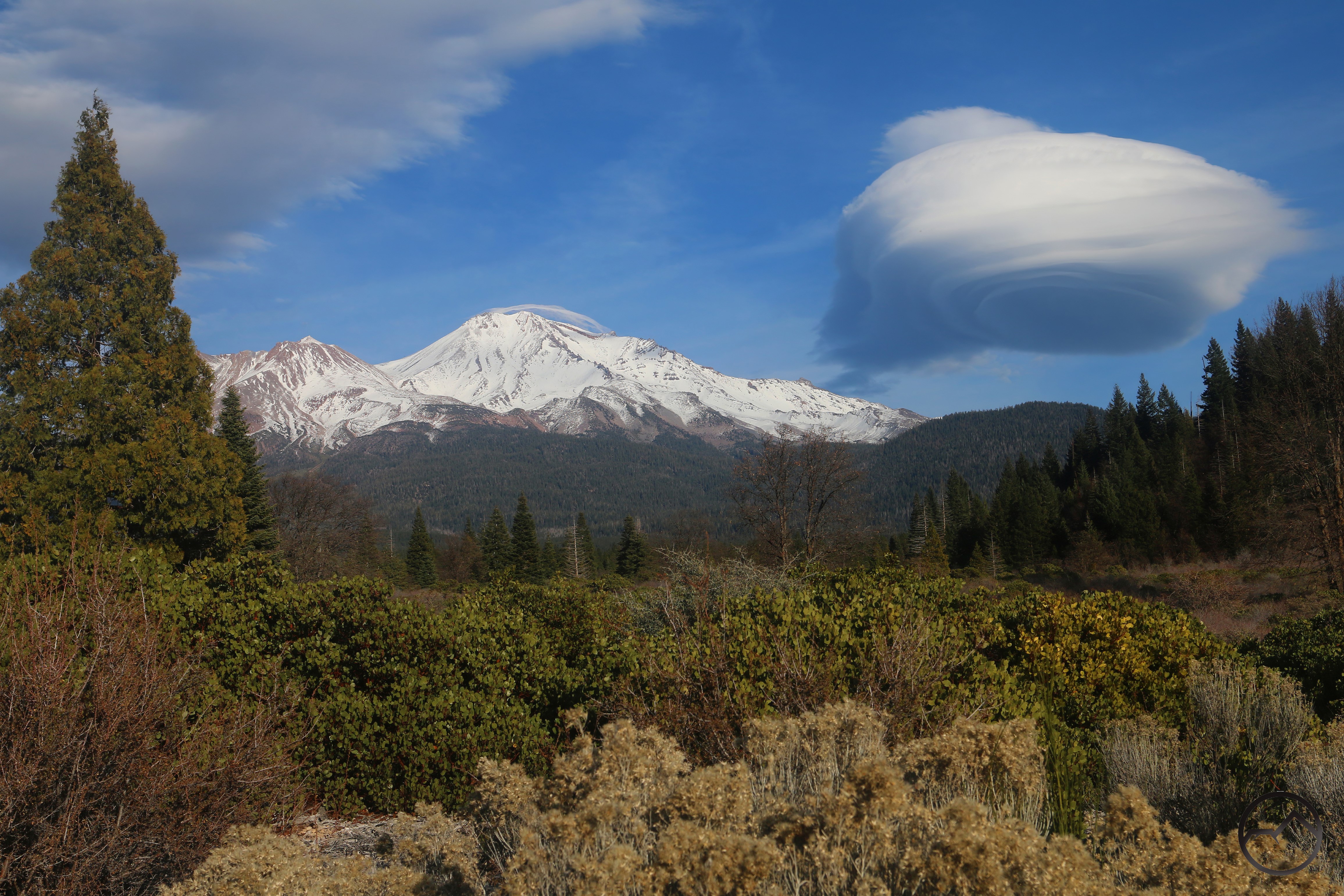
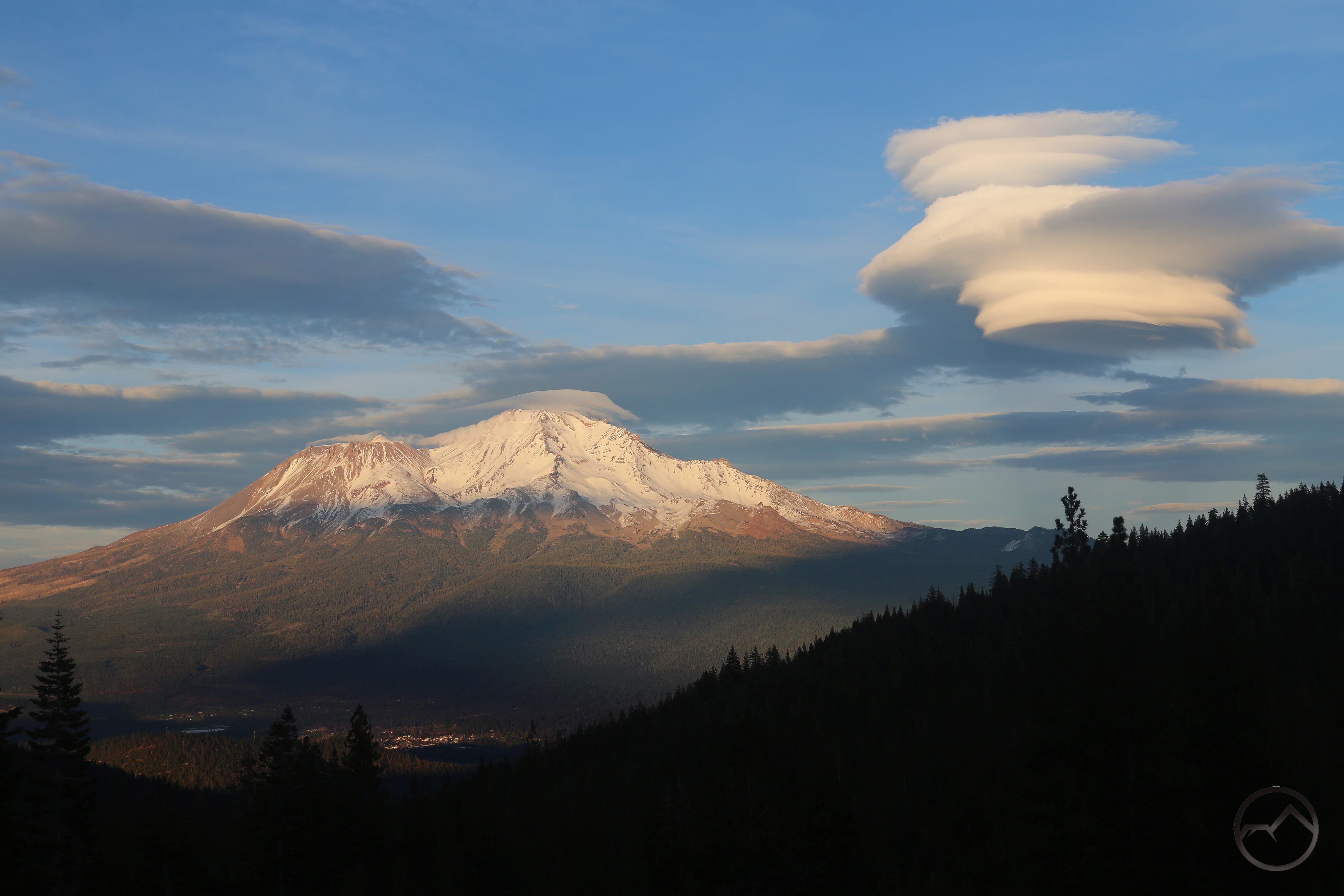
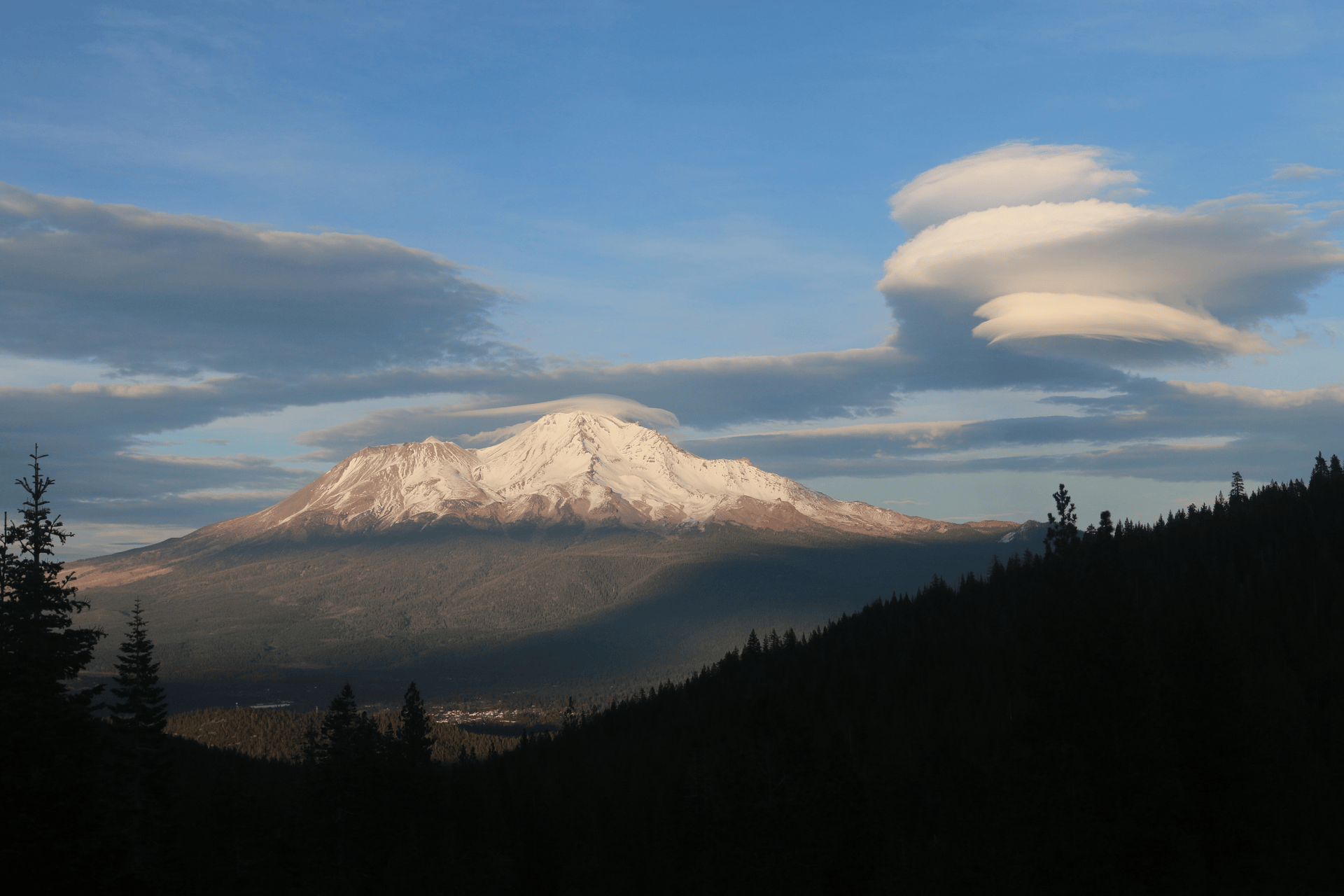
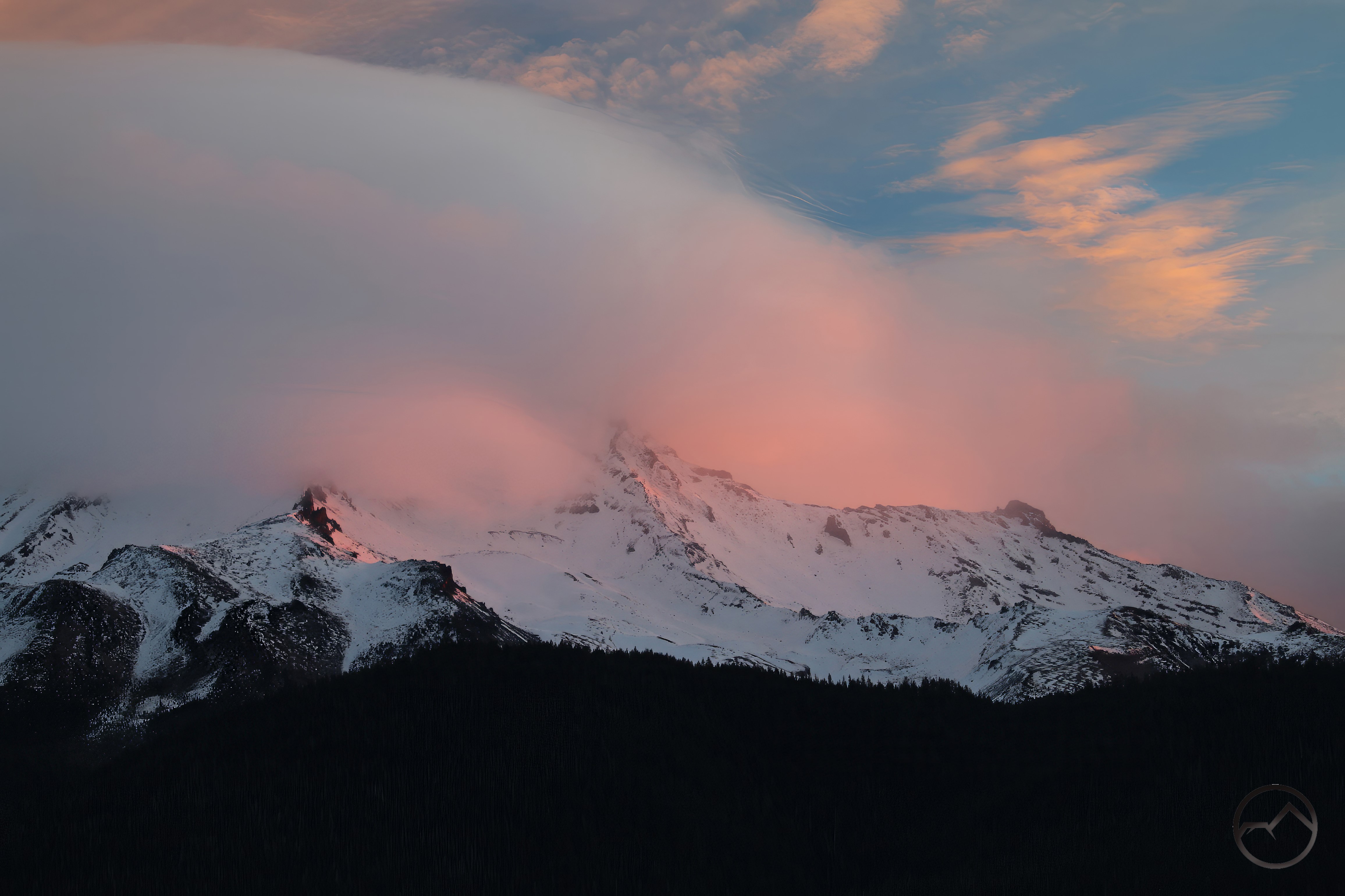
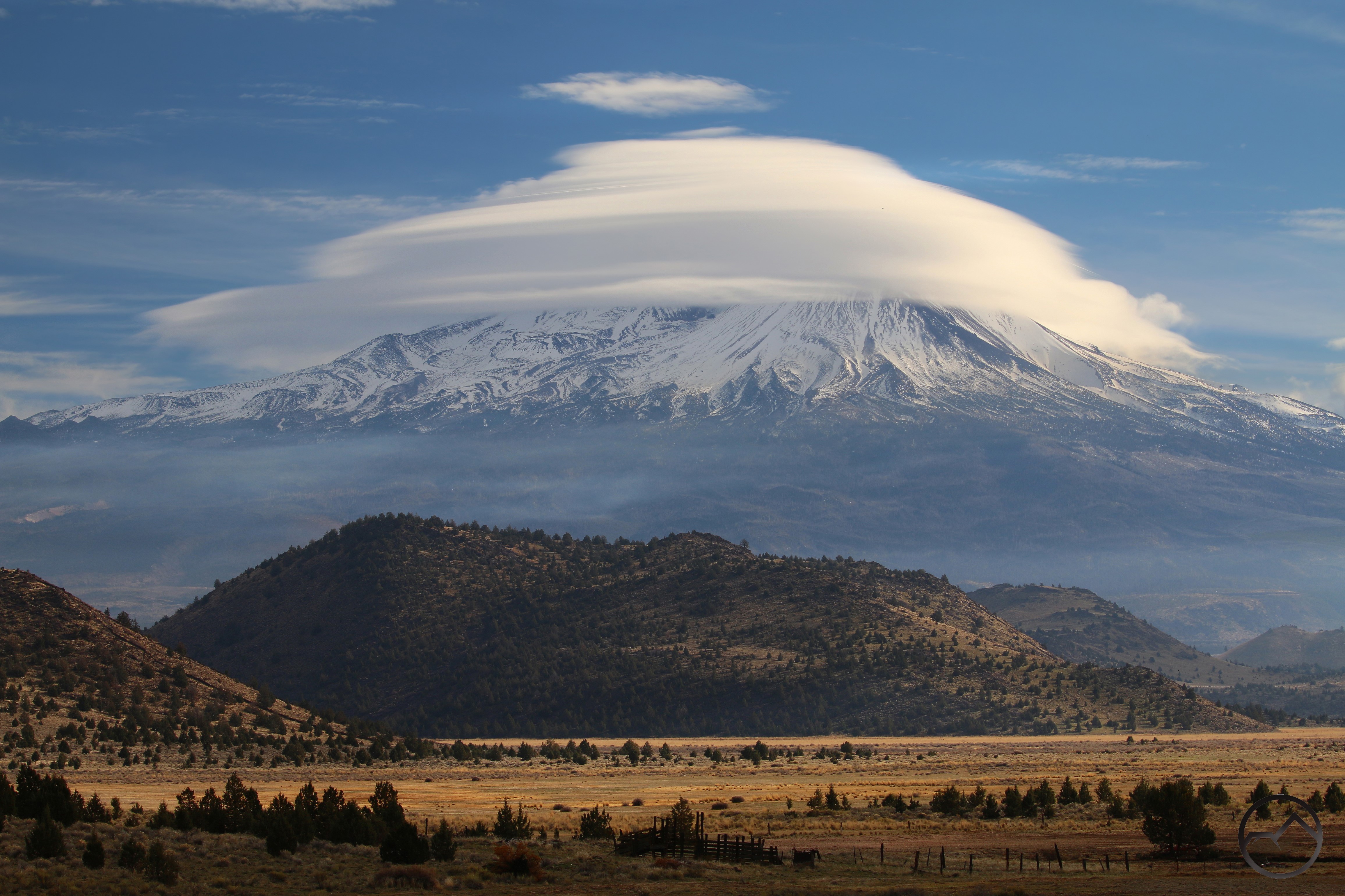
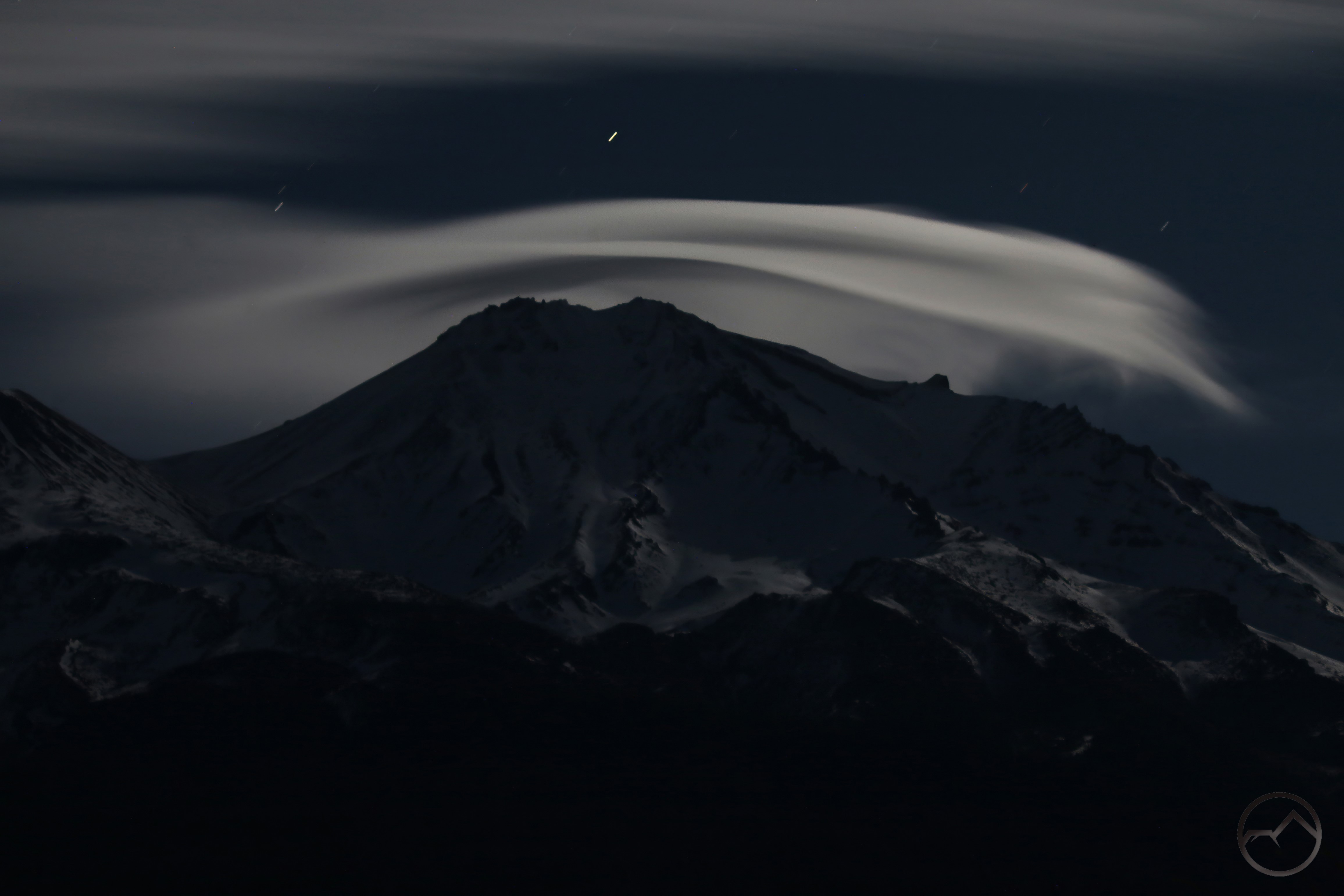
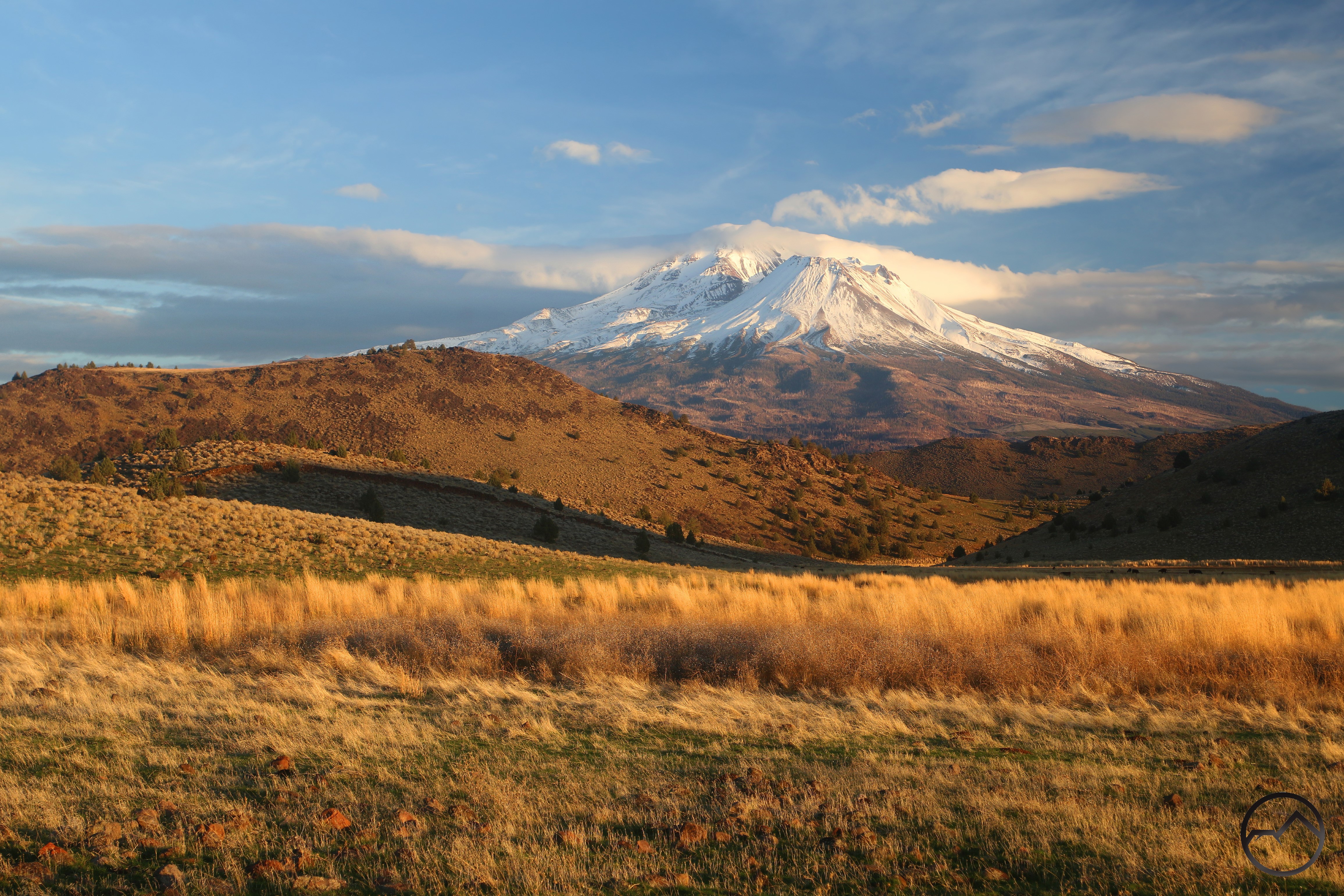
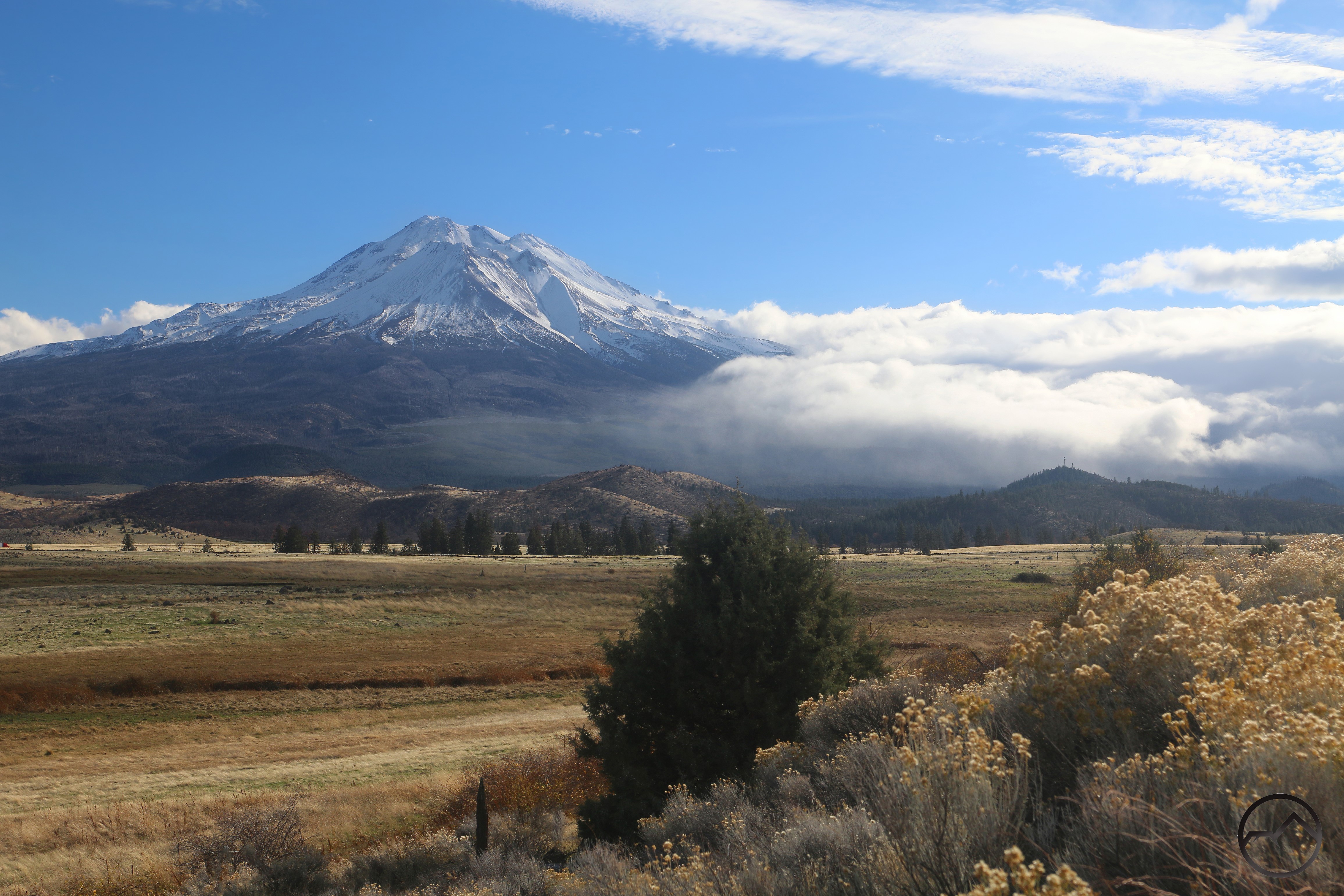
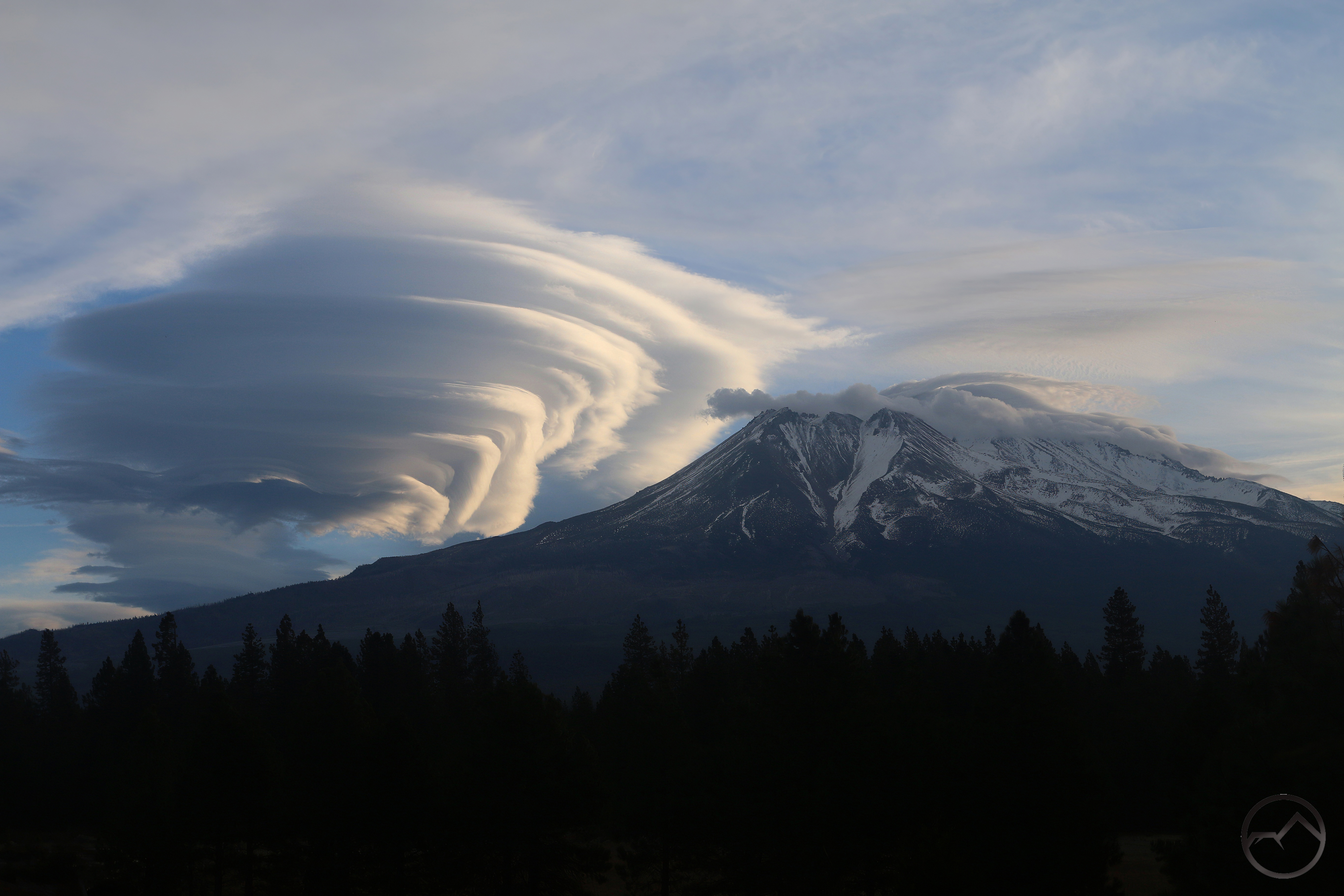
More rain has come this weekend. It was heralded by a brief lenticular display on the mountain. It began as a classic little wispy wave over the mountain, catching the morning light. It was obvious this one was not going away quickly.
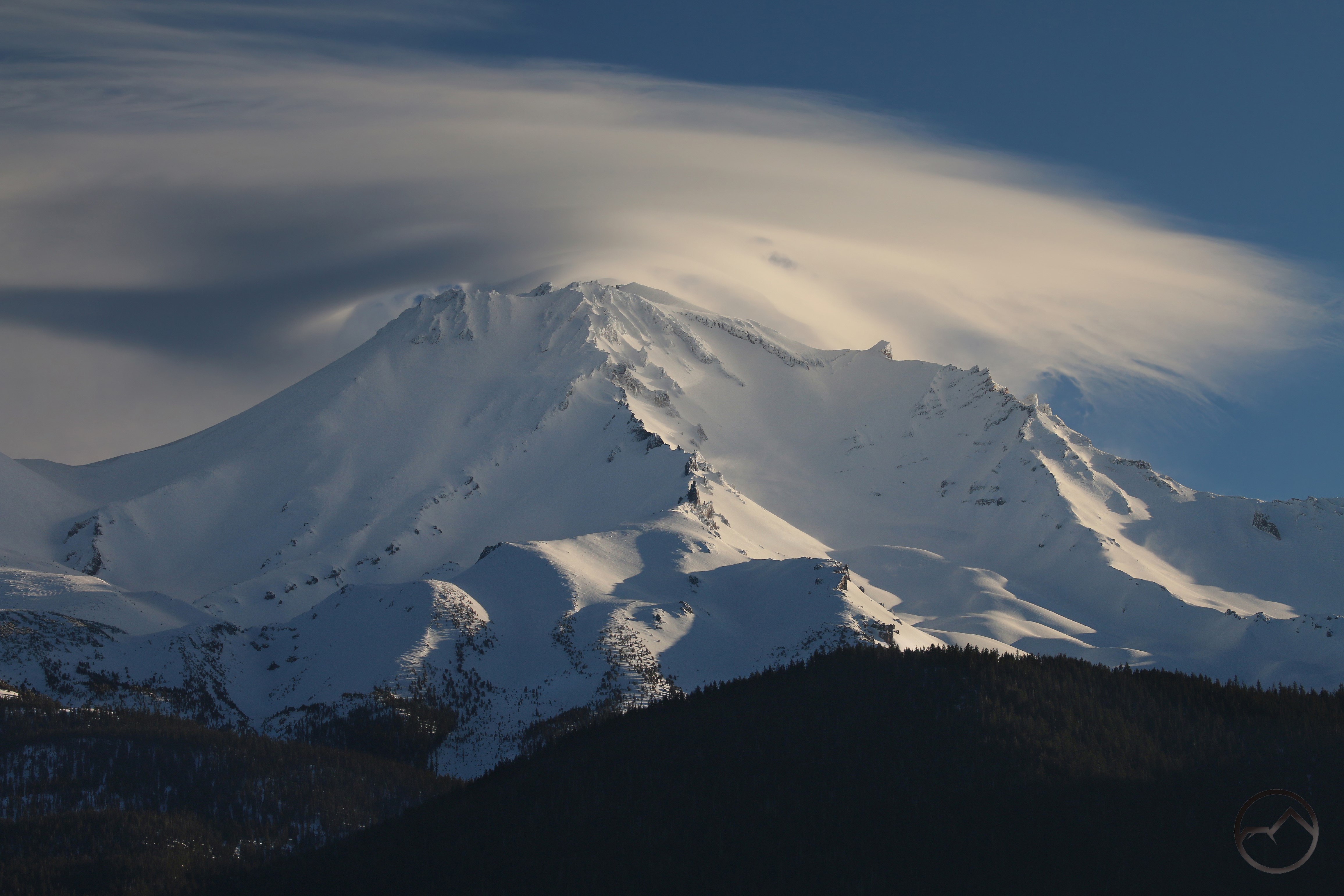
The little lenticular wave continued to grow. Initially forming a ragged lens shape over the mountain, it expanded for hours until it covered the entire sky. There was not to be a lenticular sunset with this specimen. Nonetheless, it was a grand morning and the subsequent rain has been most welcome.
Now March is upon us. Will it bring a final, massive storm or will it go out quietly. The snowpack is hoping for the former. So am I.