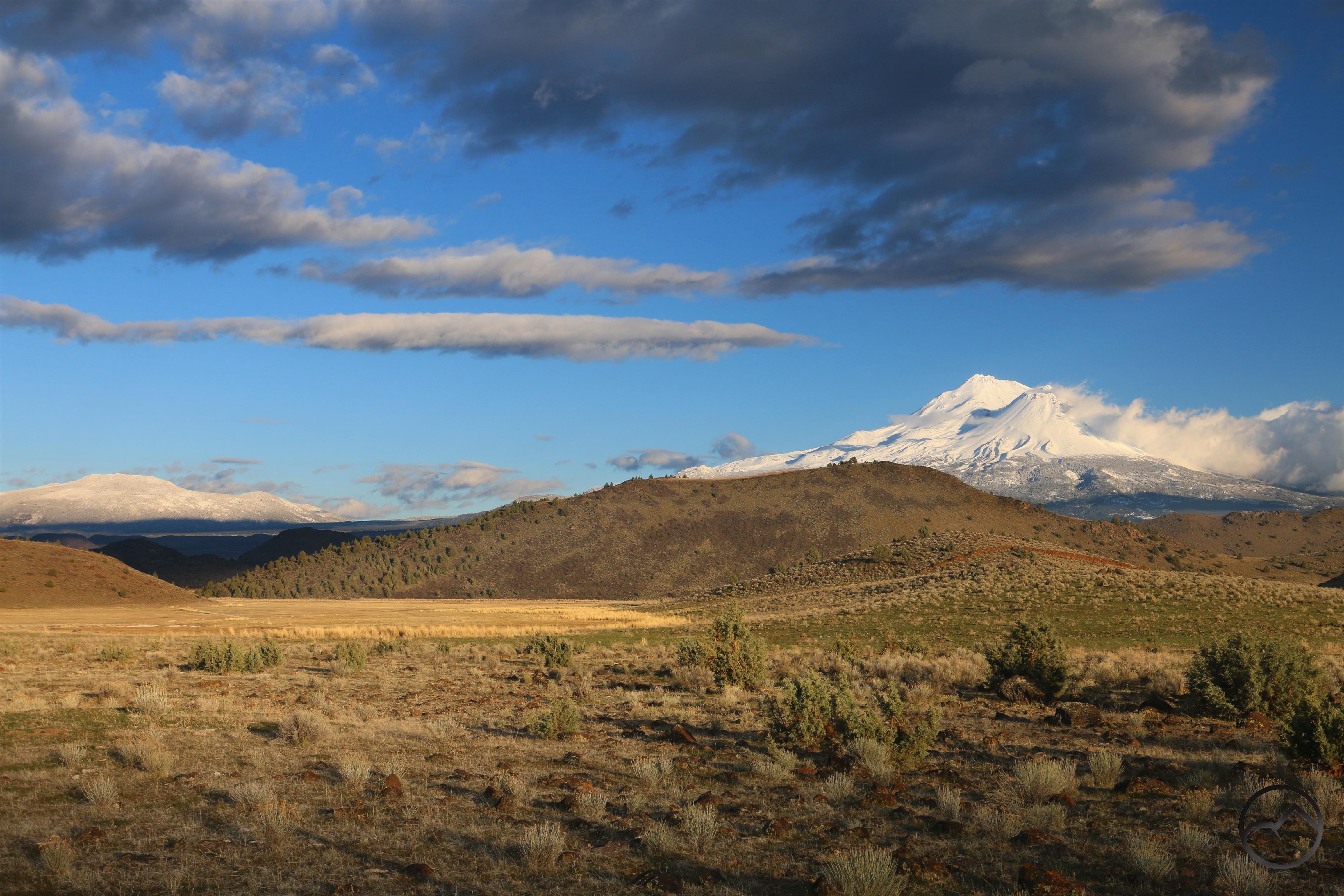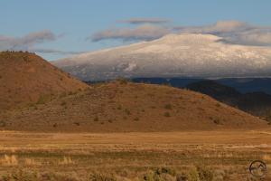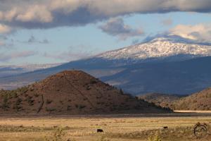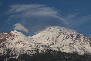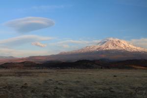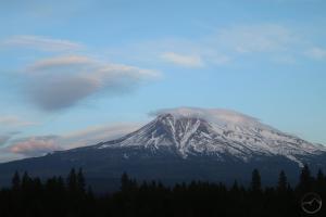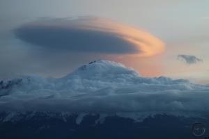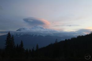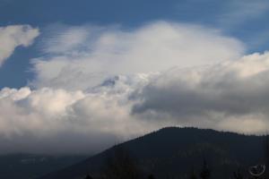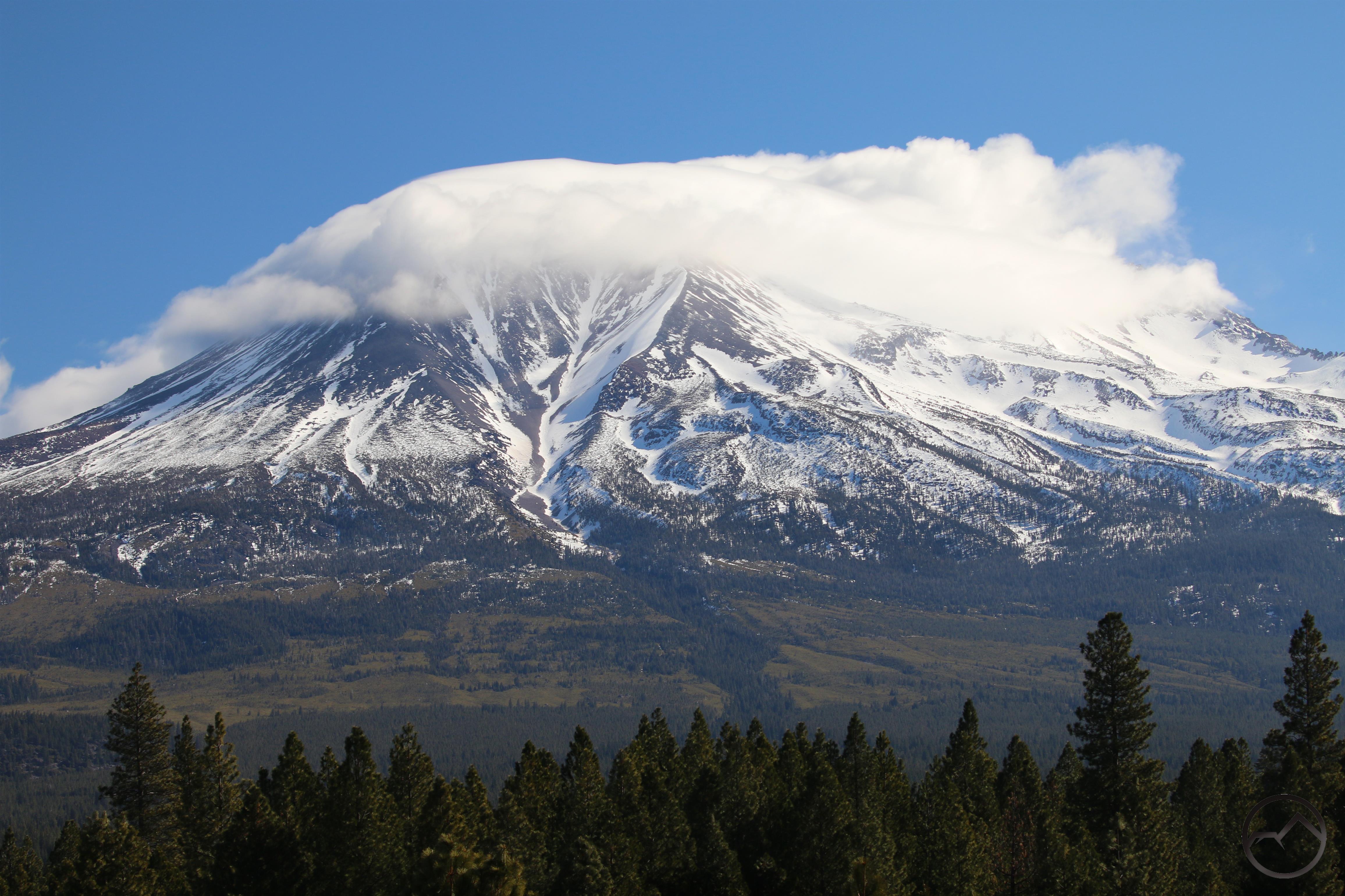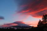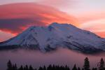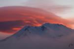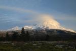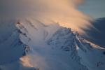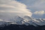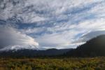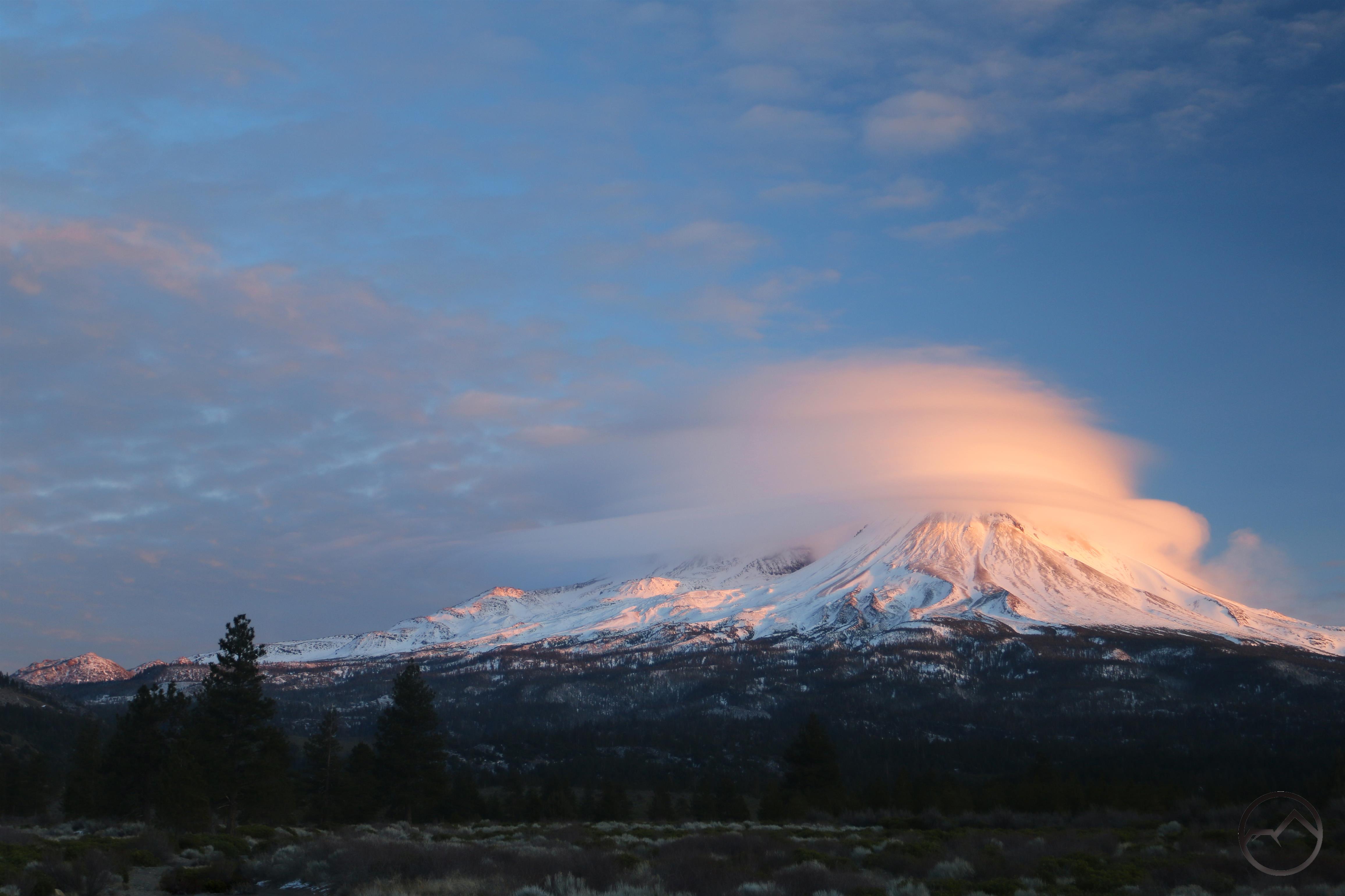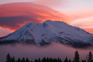
Unsettled weather over Mount Shasta defined the unsettling last week.
These are strange days we are living through. The world is shutting down for a time, people are uncertain and aspects of hardship are setting in for many in shuttered industries. It is cause for much prayer and consideration. Nonetheless, up here in Mount Shasta, as with my family at least, the world remains almost entirely unchanged. I work from home, my wife works in an essential business and we homeschool are kids. Other than a few of their activities, little has been different and their awareness of any changes in the world only comes from overhearing their parents discussing things. Even the “shelter in place” order means running around on acres of empty land behind our house. I am grateful that they are able to live like this.
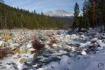
Fortunately, the last weekend, when the social distancing and shelter in place way of life became the norm, coincided with some beautiful spring weather. We still have snow on the ground on our house from the last big storm system but it really began to melt in earnest. We took advantage of the weather and headed outside as a family and enjoyed the marvelous beauty that is the Mount Shasta area.
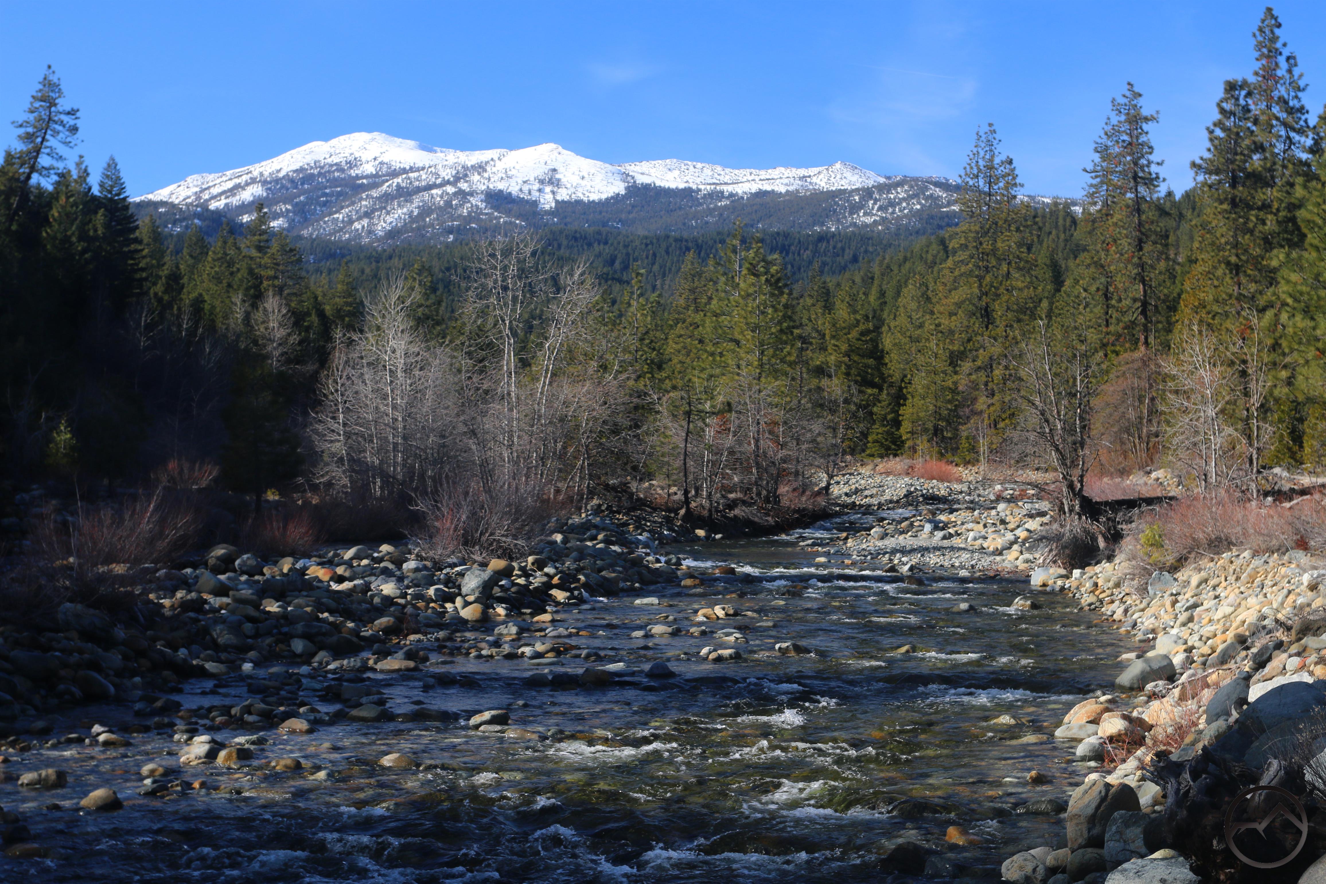
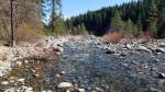
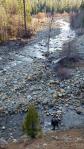
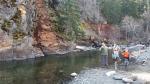
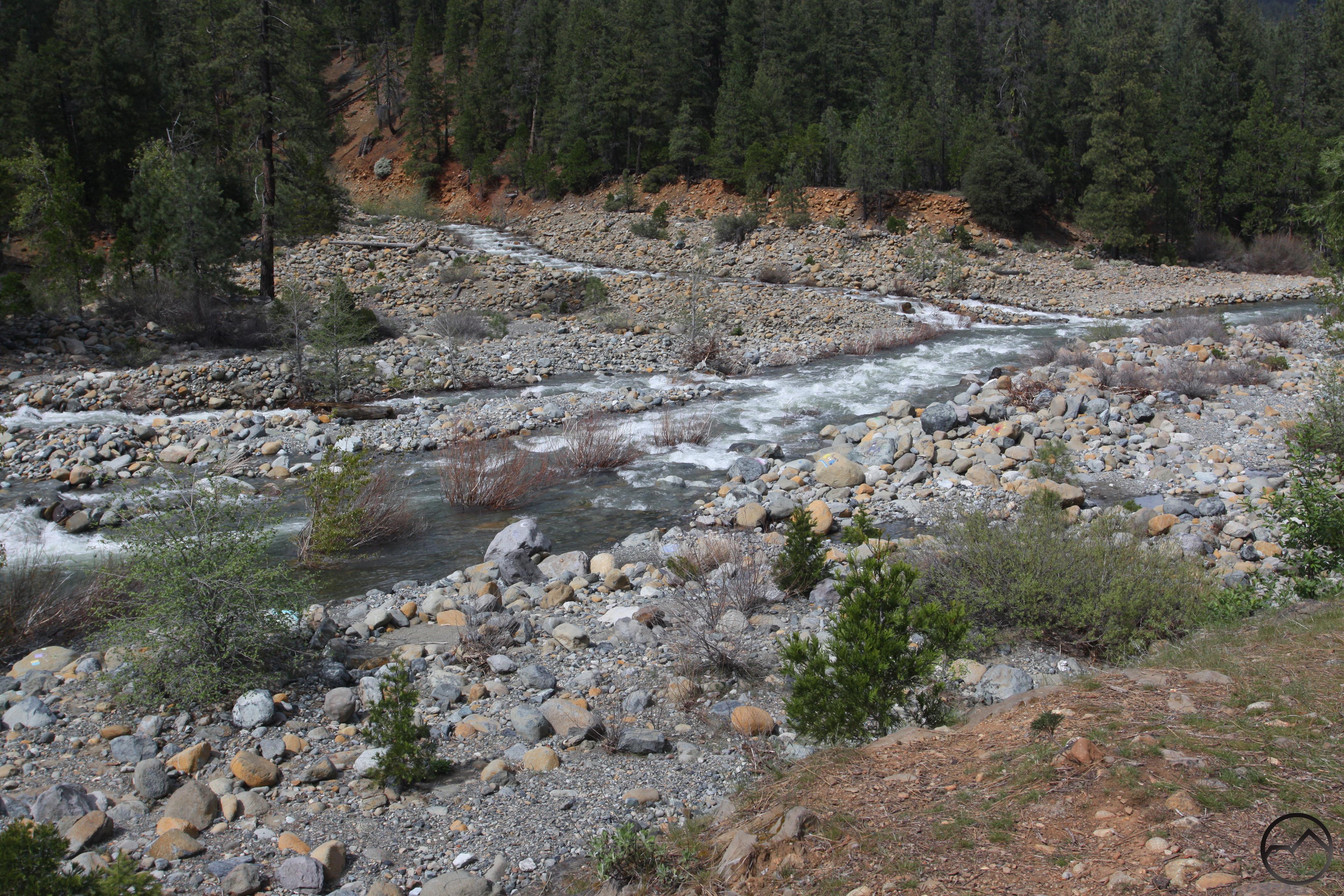
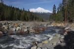
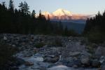
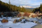
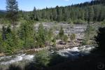
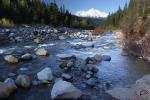
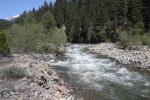
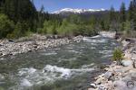
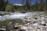
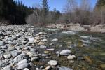
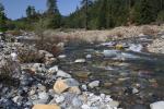
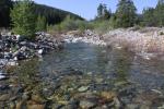
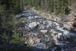
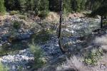
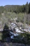
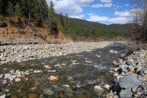
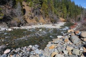
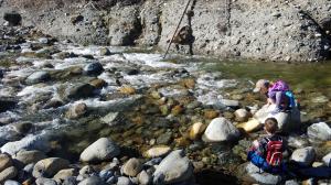
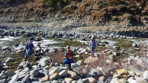
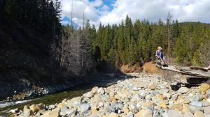
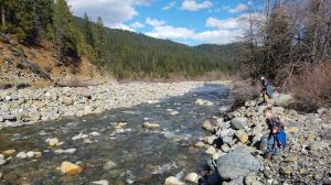
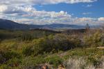
The first day we headed out we did a fantastic loop on the upper Sacramento River. This is a great place to hike and enjoy the river as it flows through a wild floodplain. It isn’t too far from the road but any signs of civilization seem half a world away (listening to Oasis song of the same name as I write this). The colorful rocks and crystalline water are magical and it remains one of my family’s favorites.
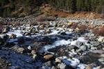
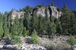
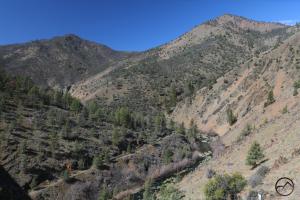
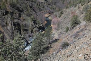
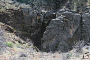
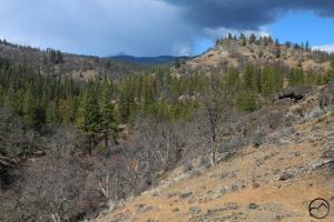
The next day I was off to explore the Siskiyous solo. I headed for an elusive seasonal waterfall. It takes some interesting route-finding but is not too hard to reach. Unfortunately, when I got there it was dry, despite the rain and snow that fell a few days before. Its watershed is very small but it is beautiful while running. The falls are within sight of Mount Ashland in a strangely semi-arid environment. I love that kind of landscape. The day was made even better by taking an alternative route that follows the Shasta River through its spectacular canyon. I am surprised this canyon is not more well-known.
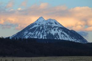
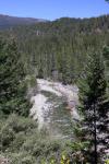
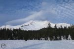
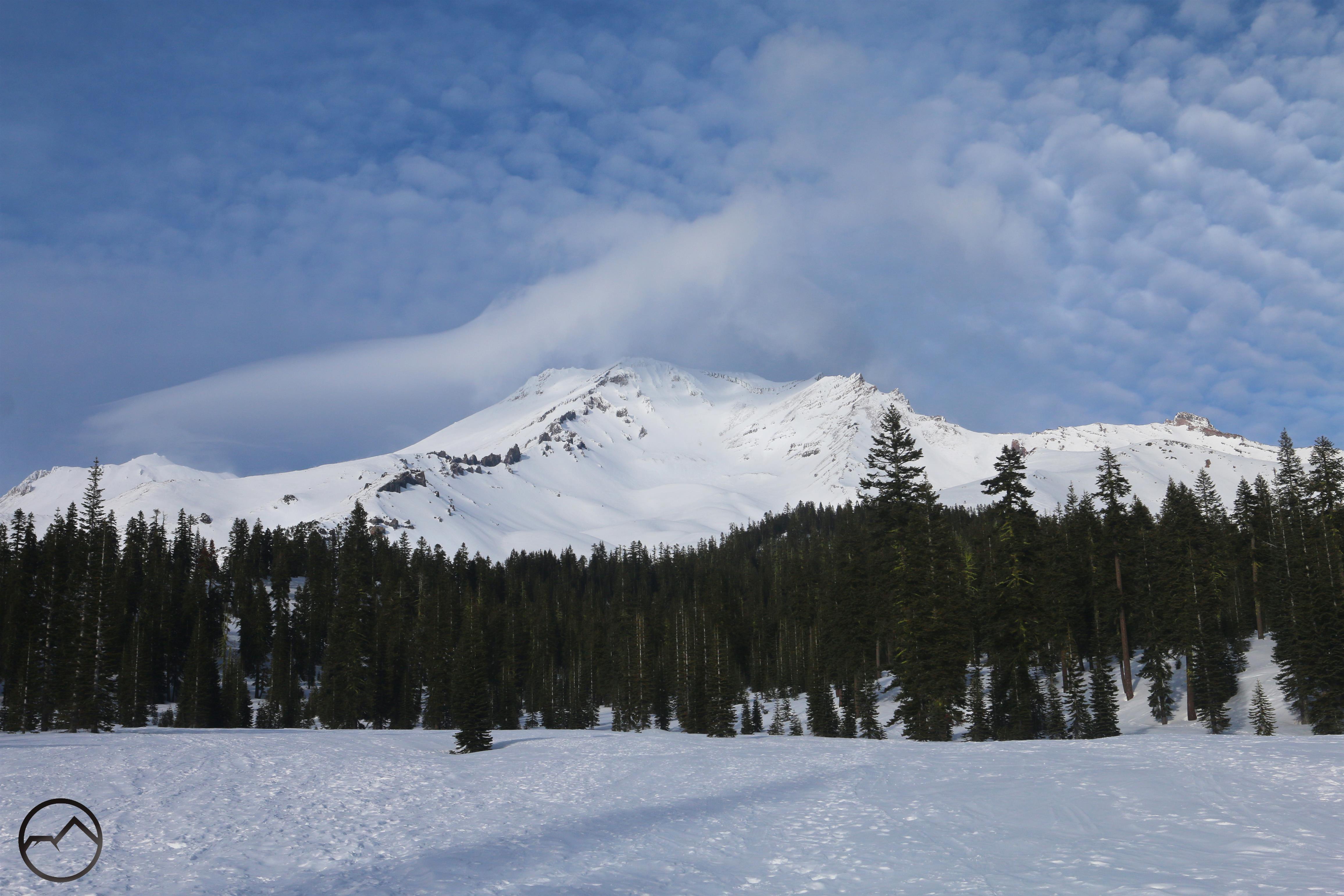
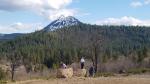
On Sunday we headed out yet again, this time to Weed and hiked a short but scenic trail with great views.
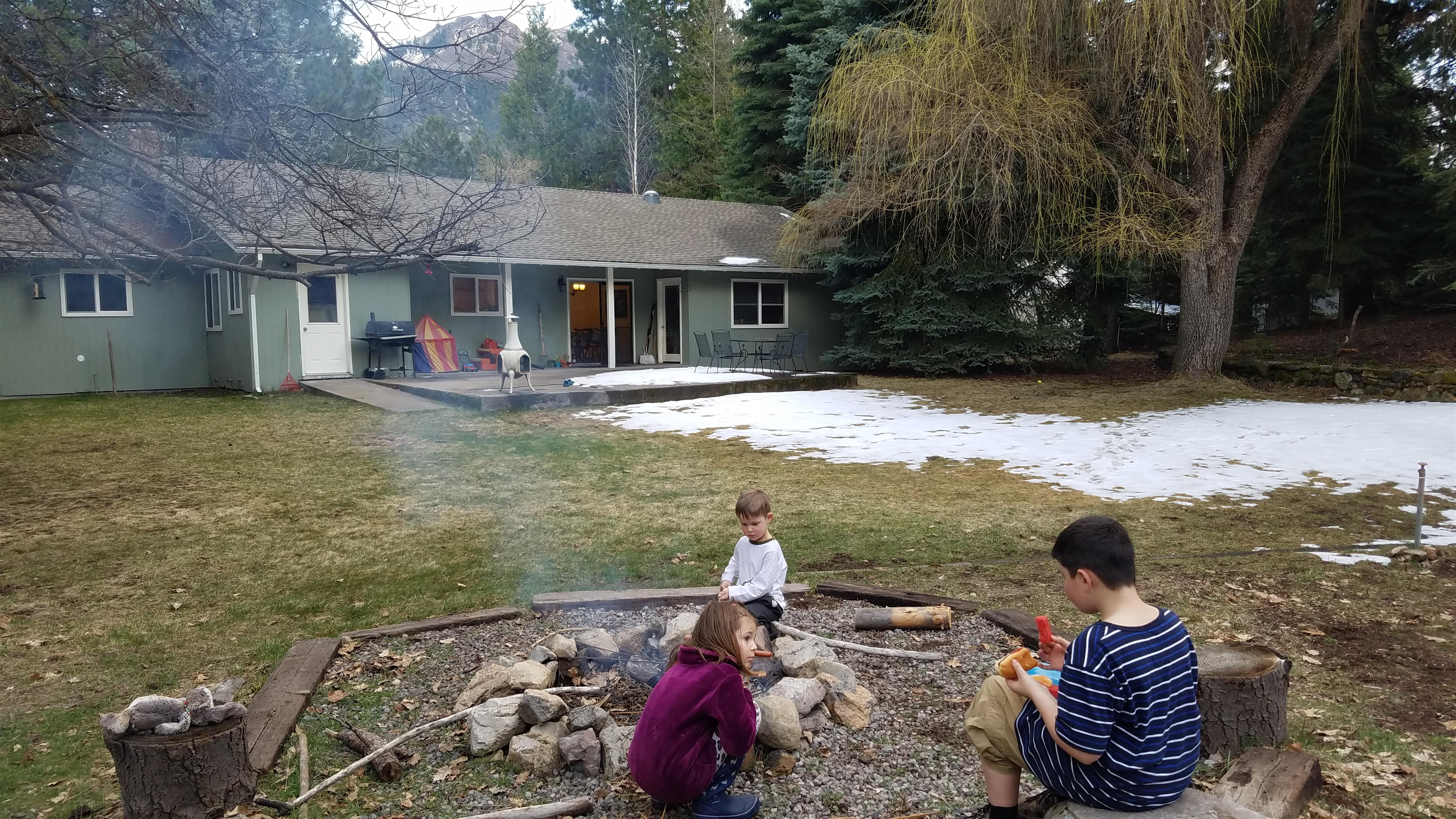
That night we capped it off with a campfire and hot dogs. The snow had melted considerably and it was warm enough for the kids to be comfortable outside. It was a great way to finish off the weekend.
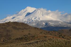
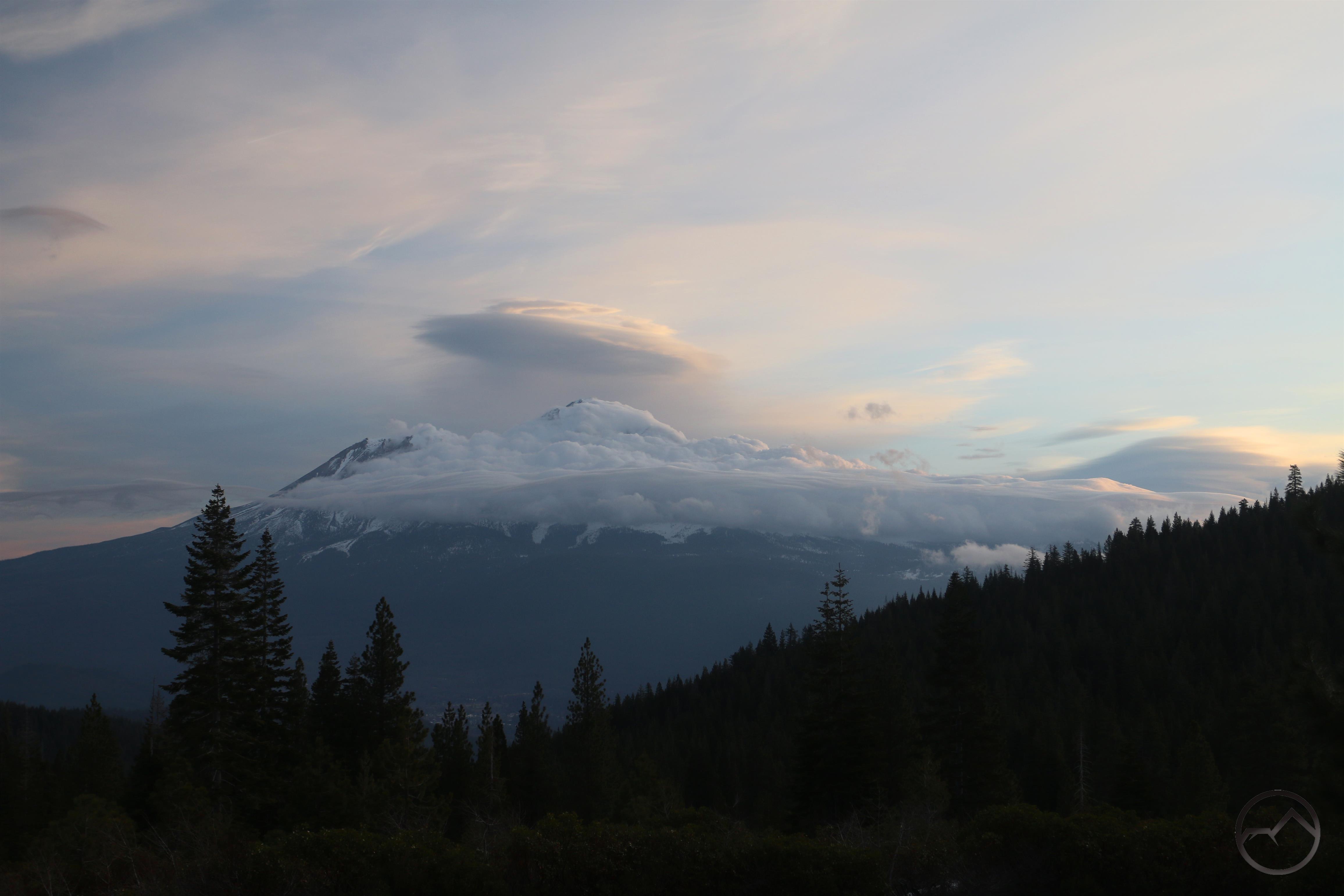
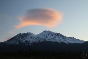
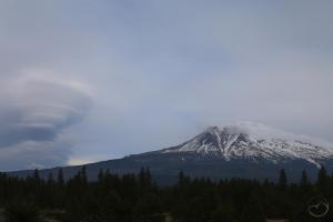
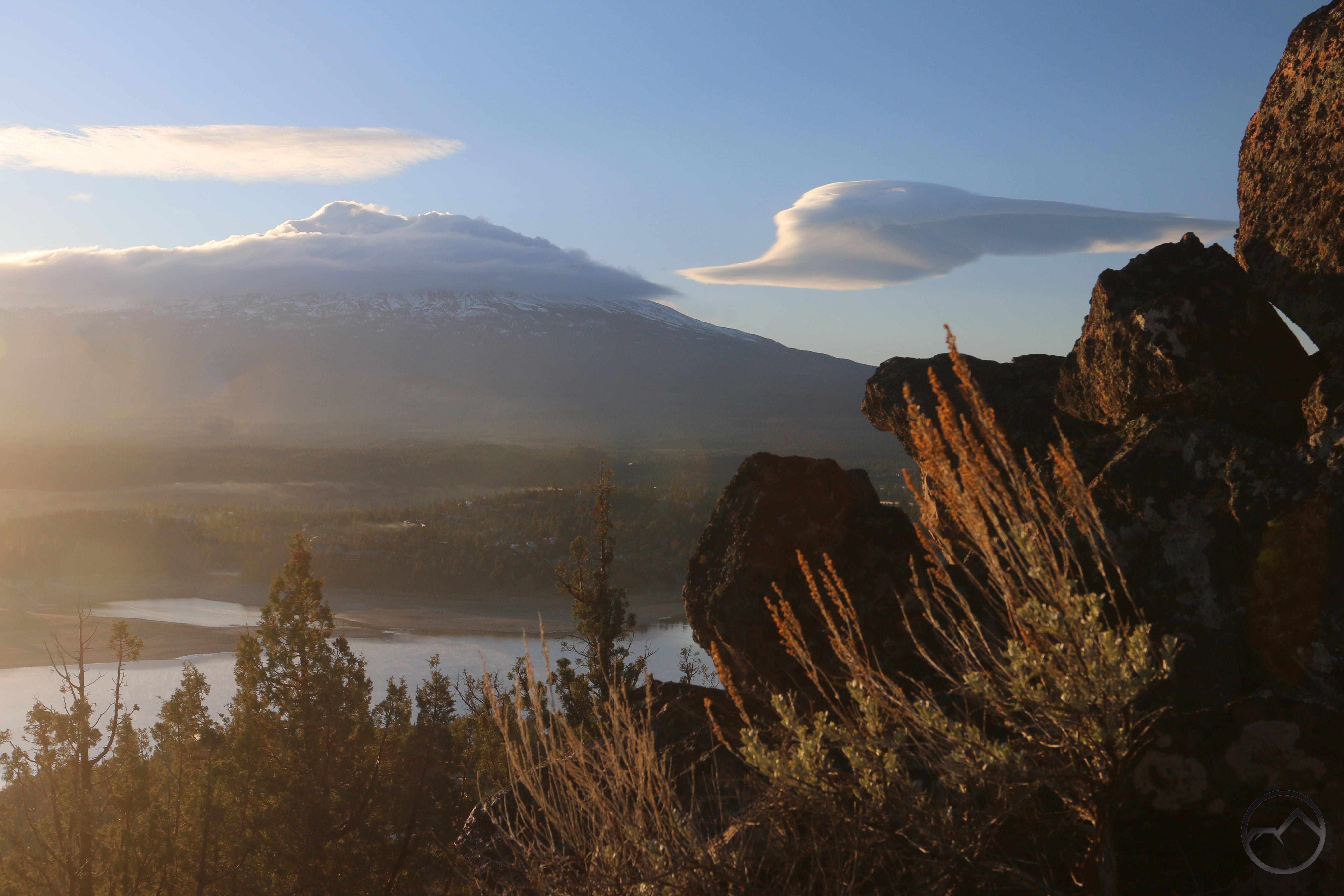
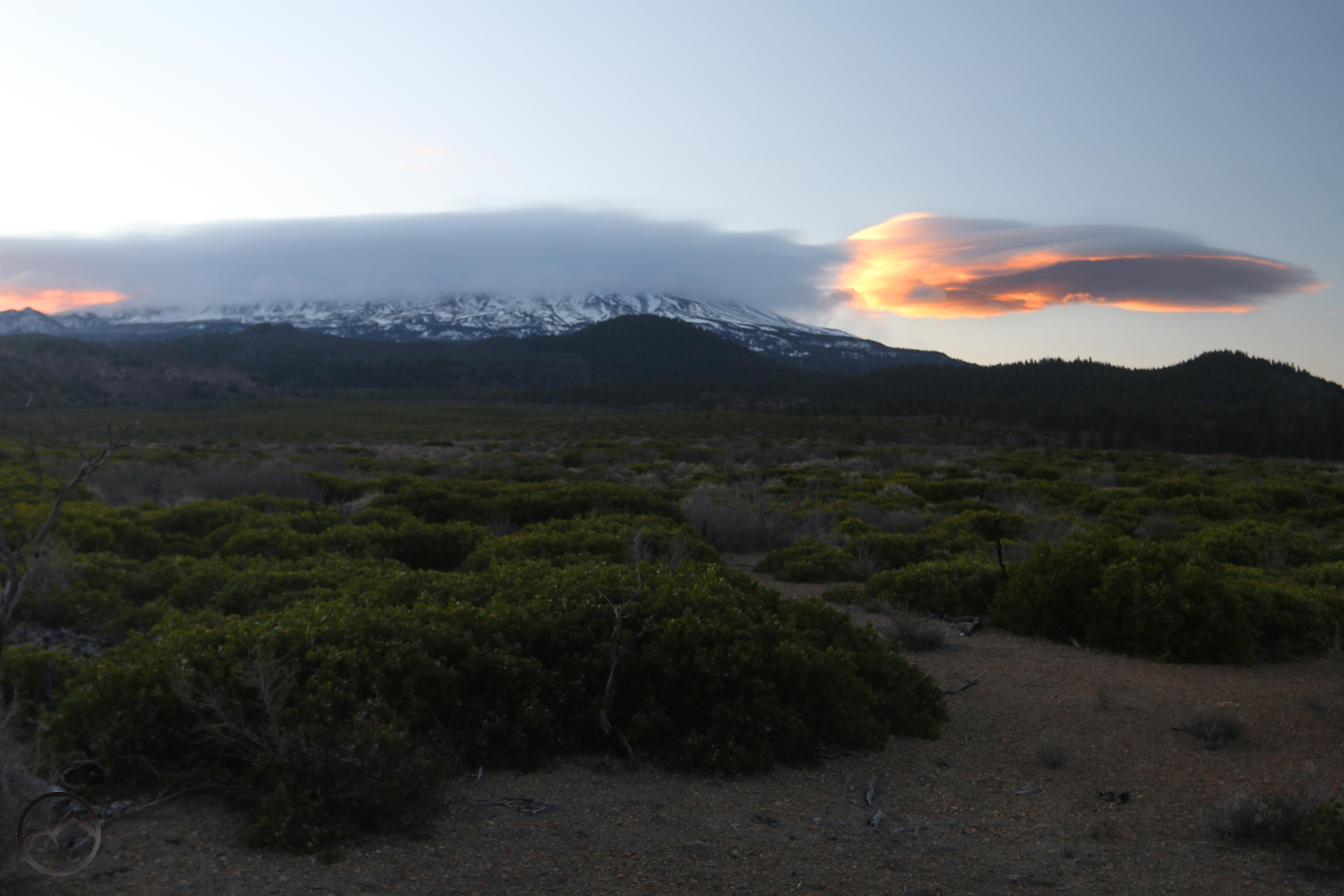
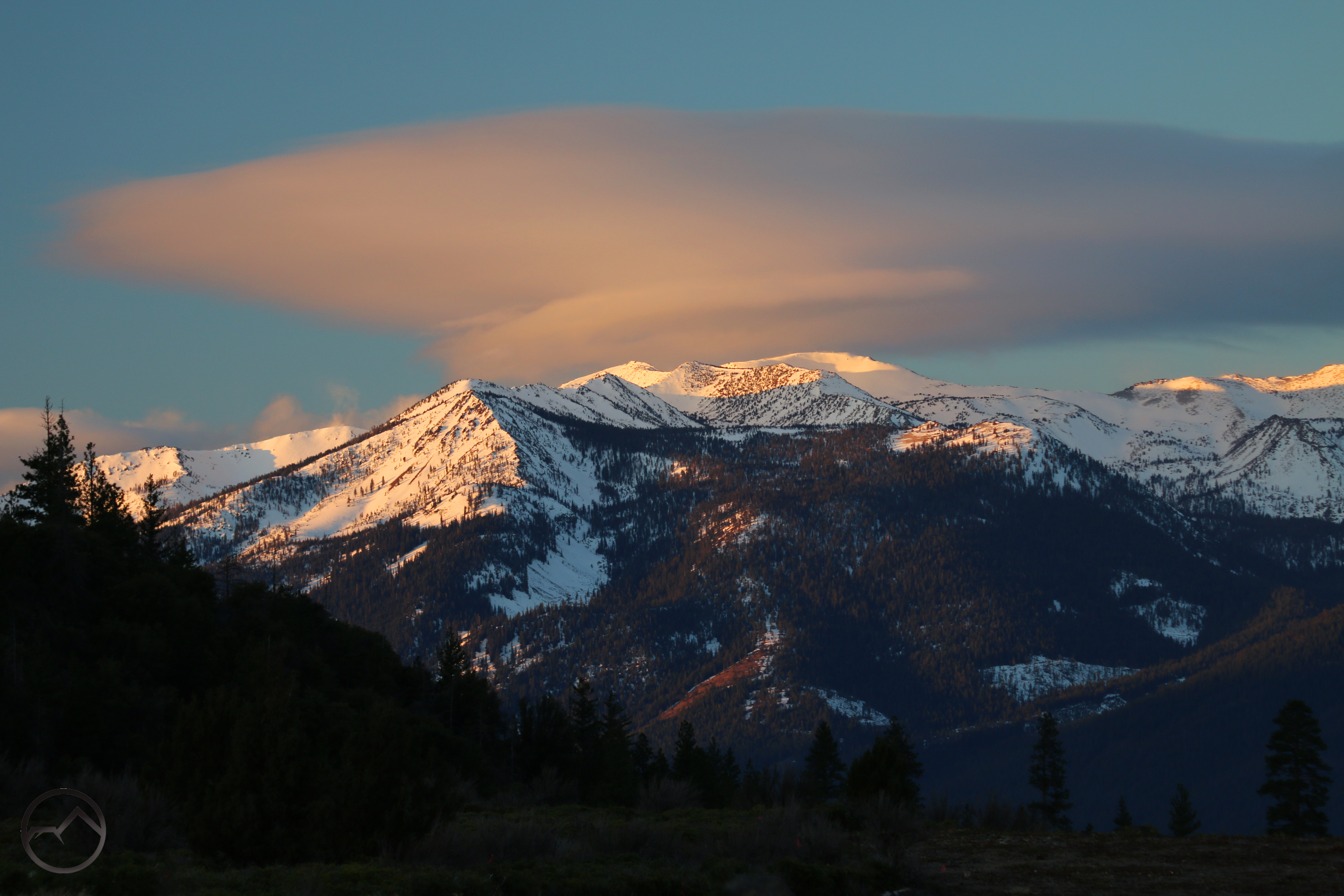
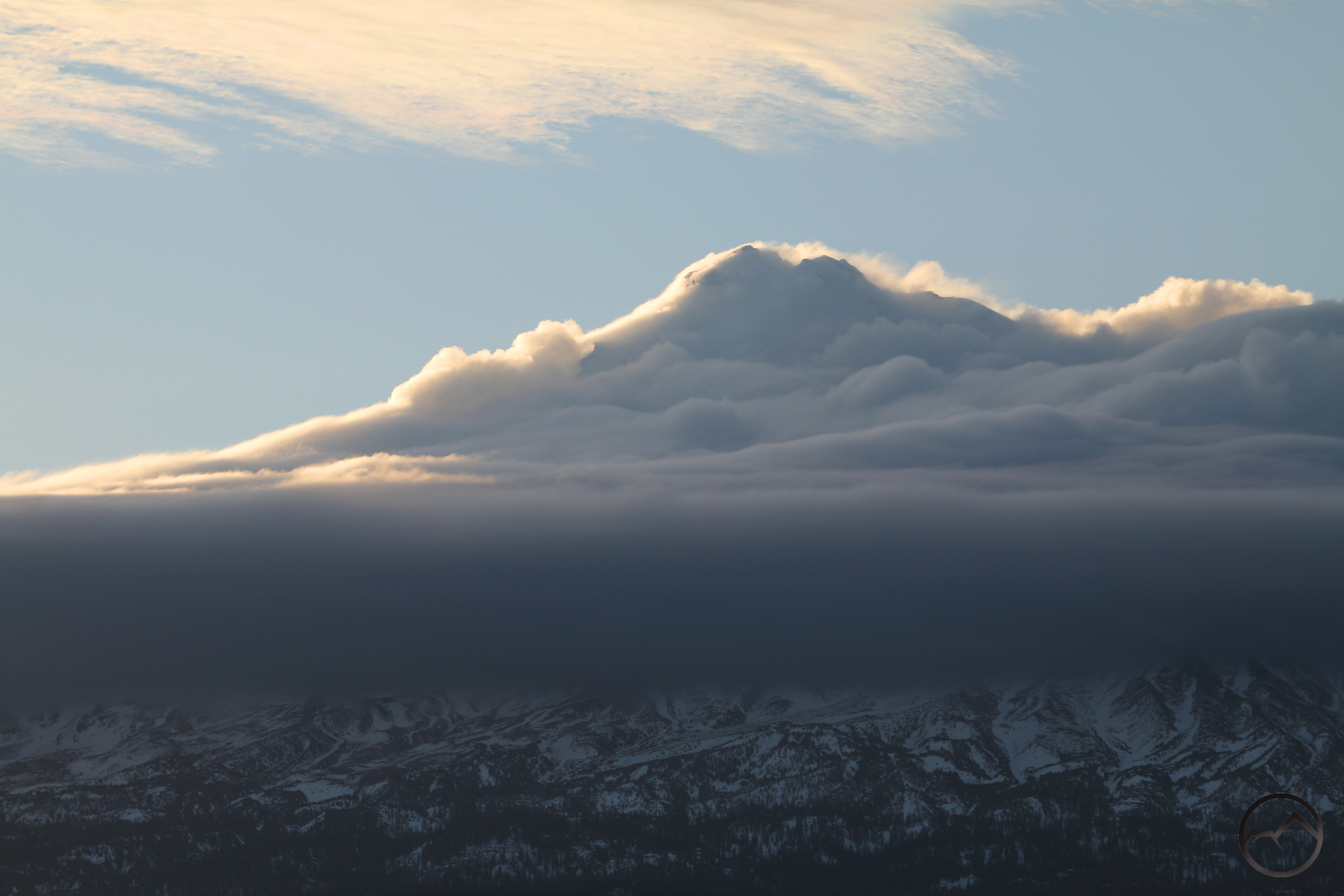
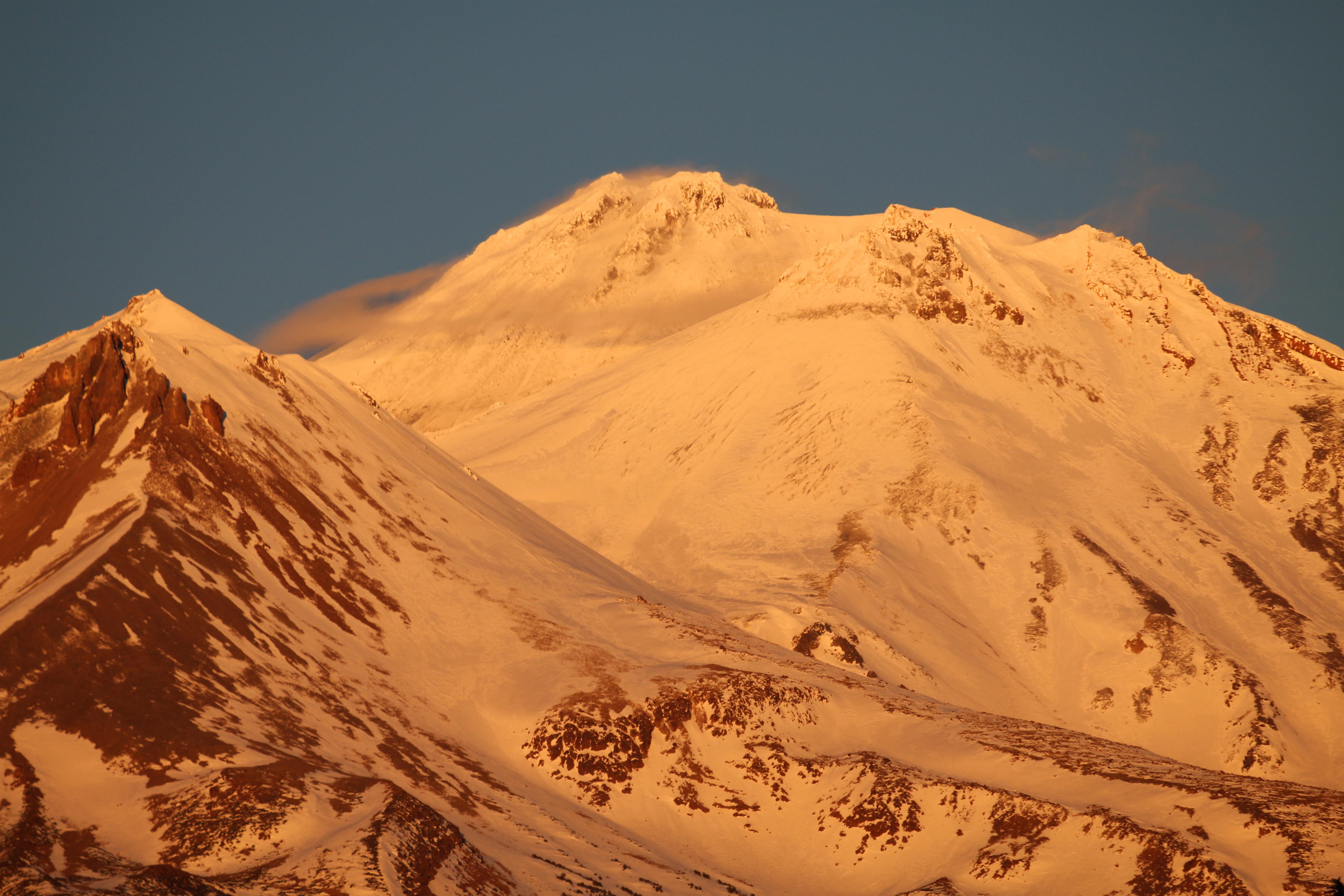
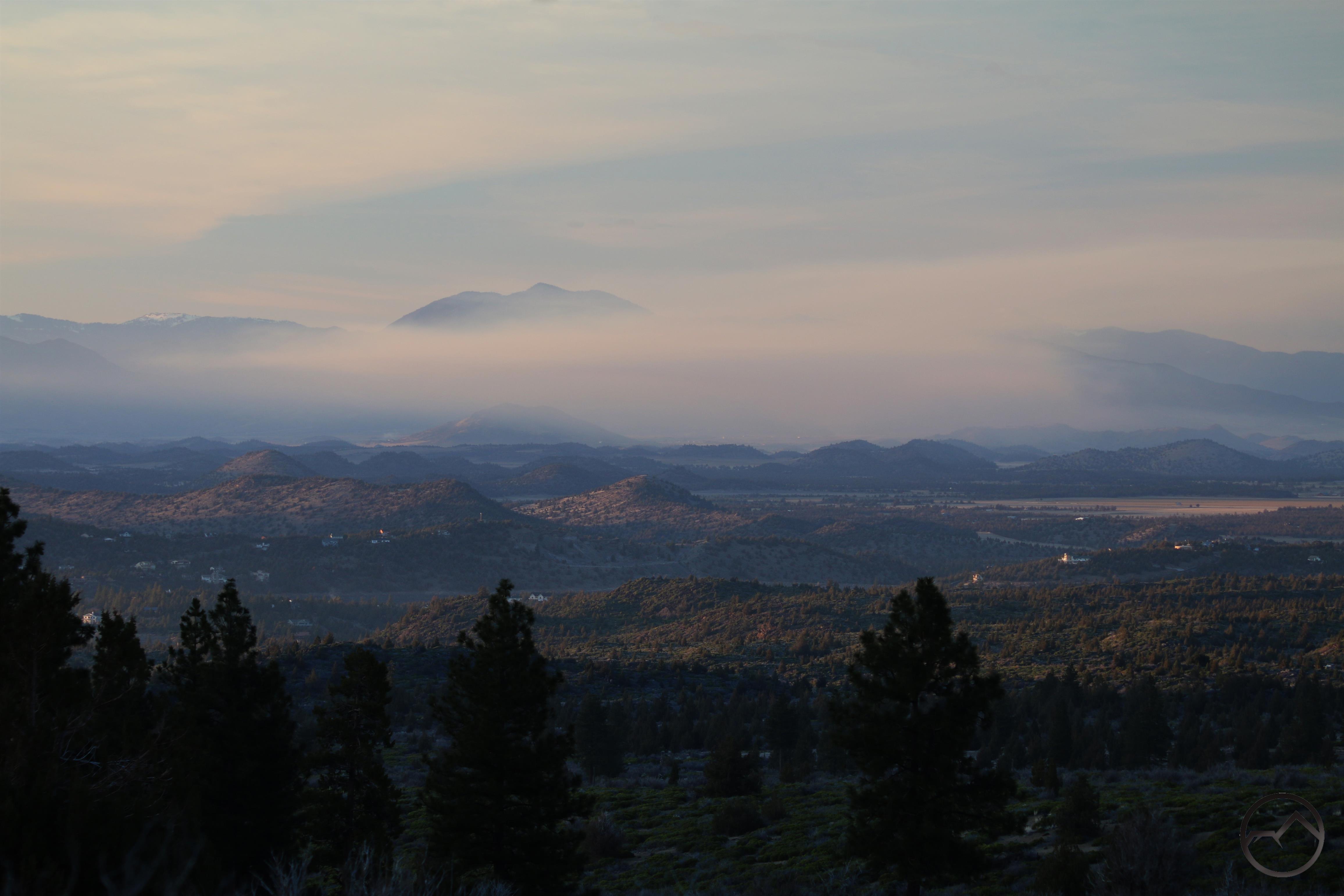
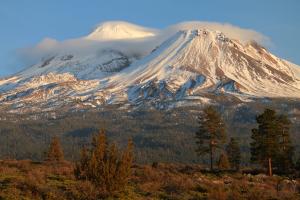
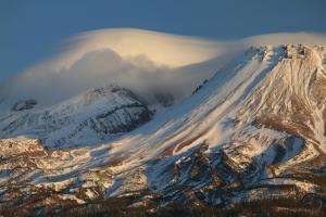
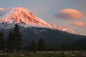
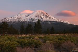
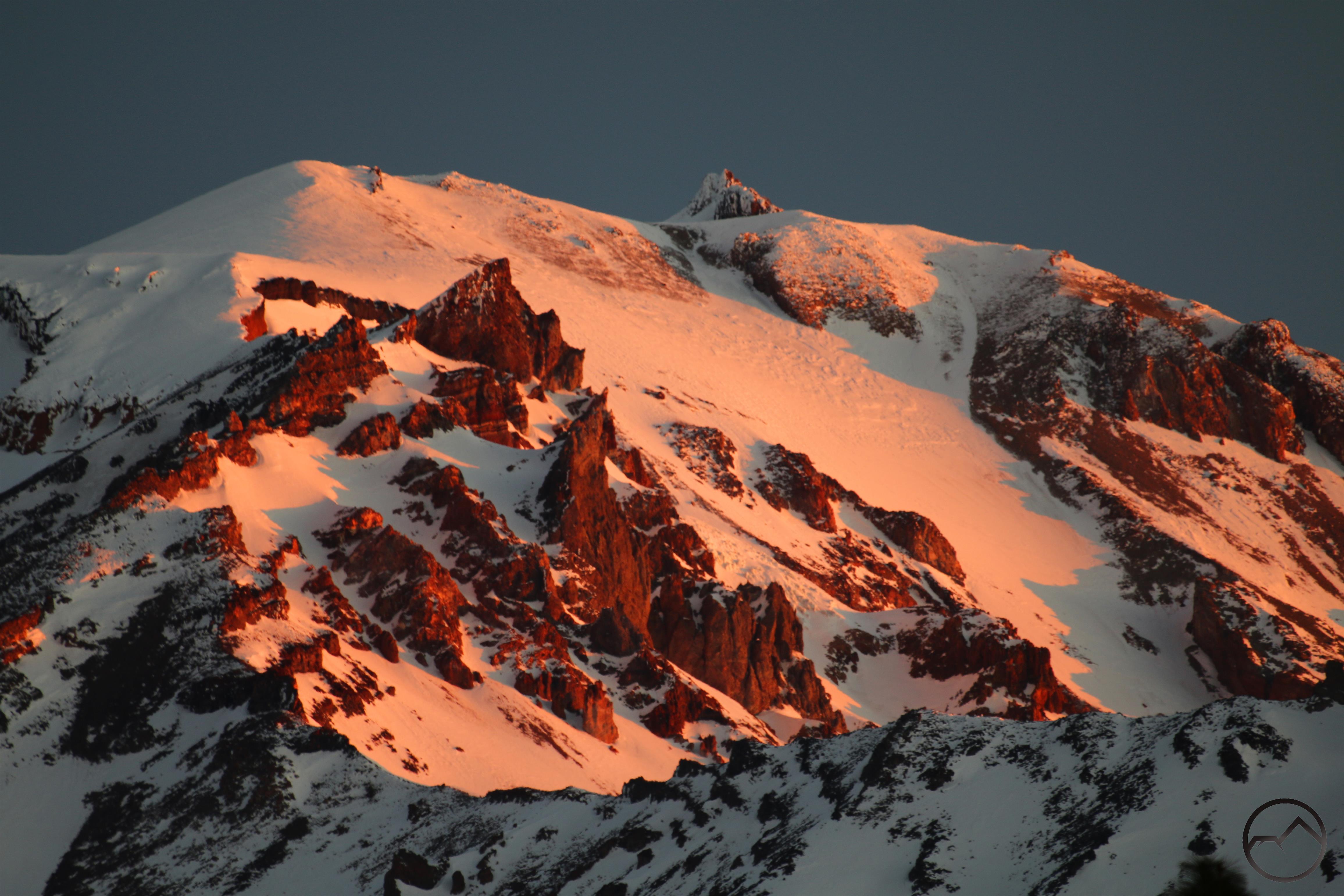
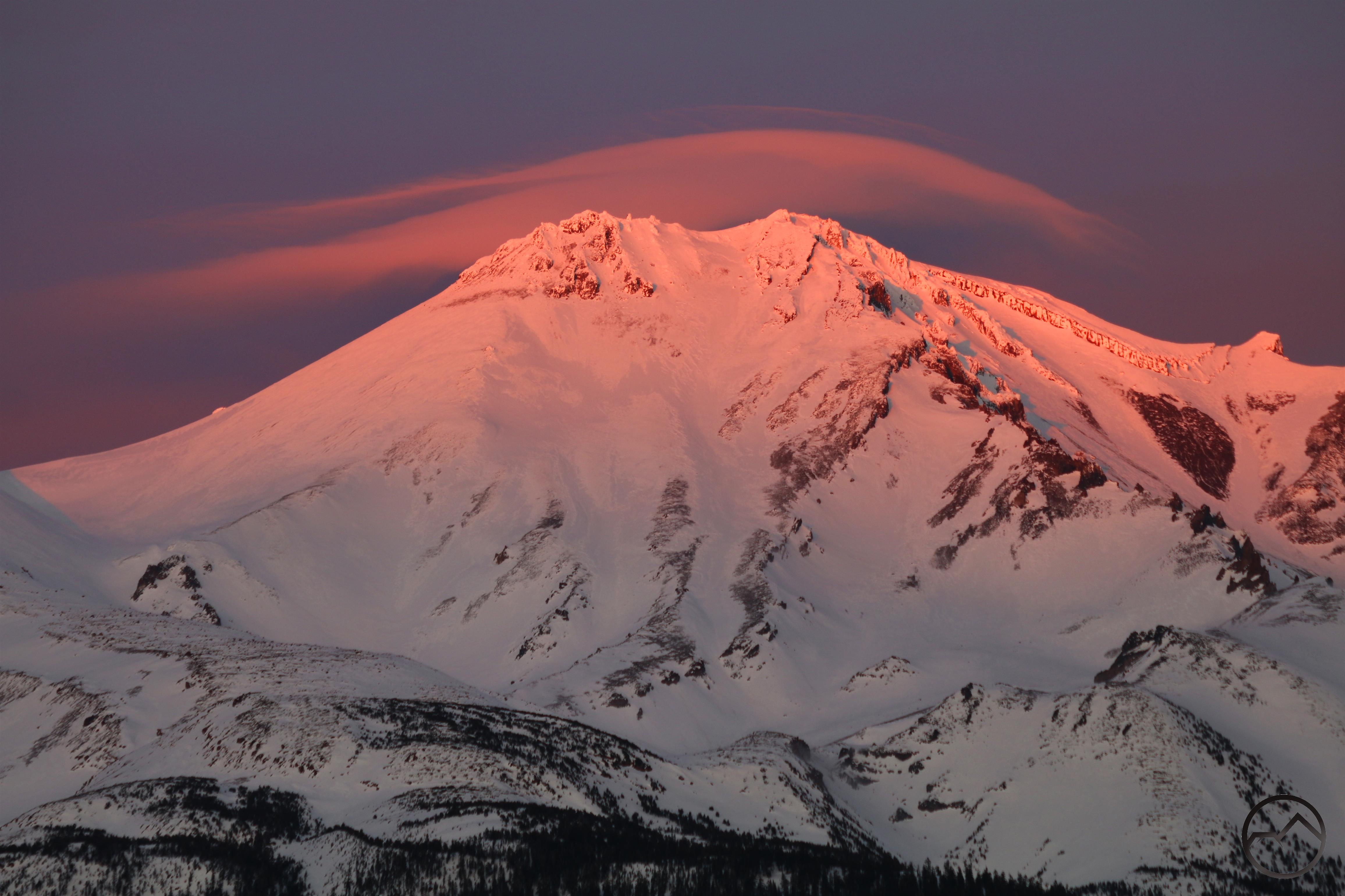
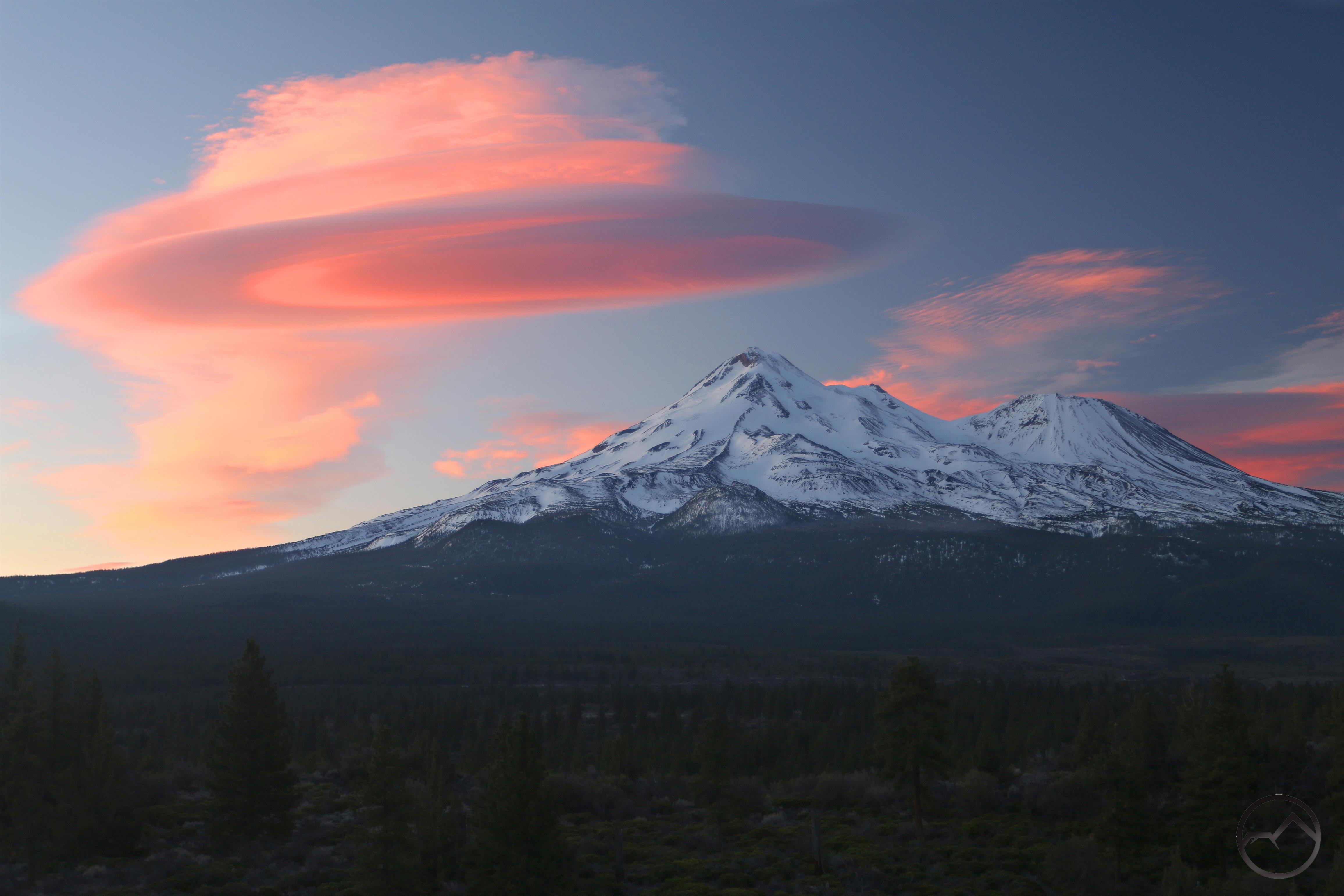
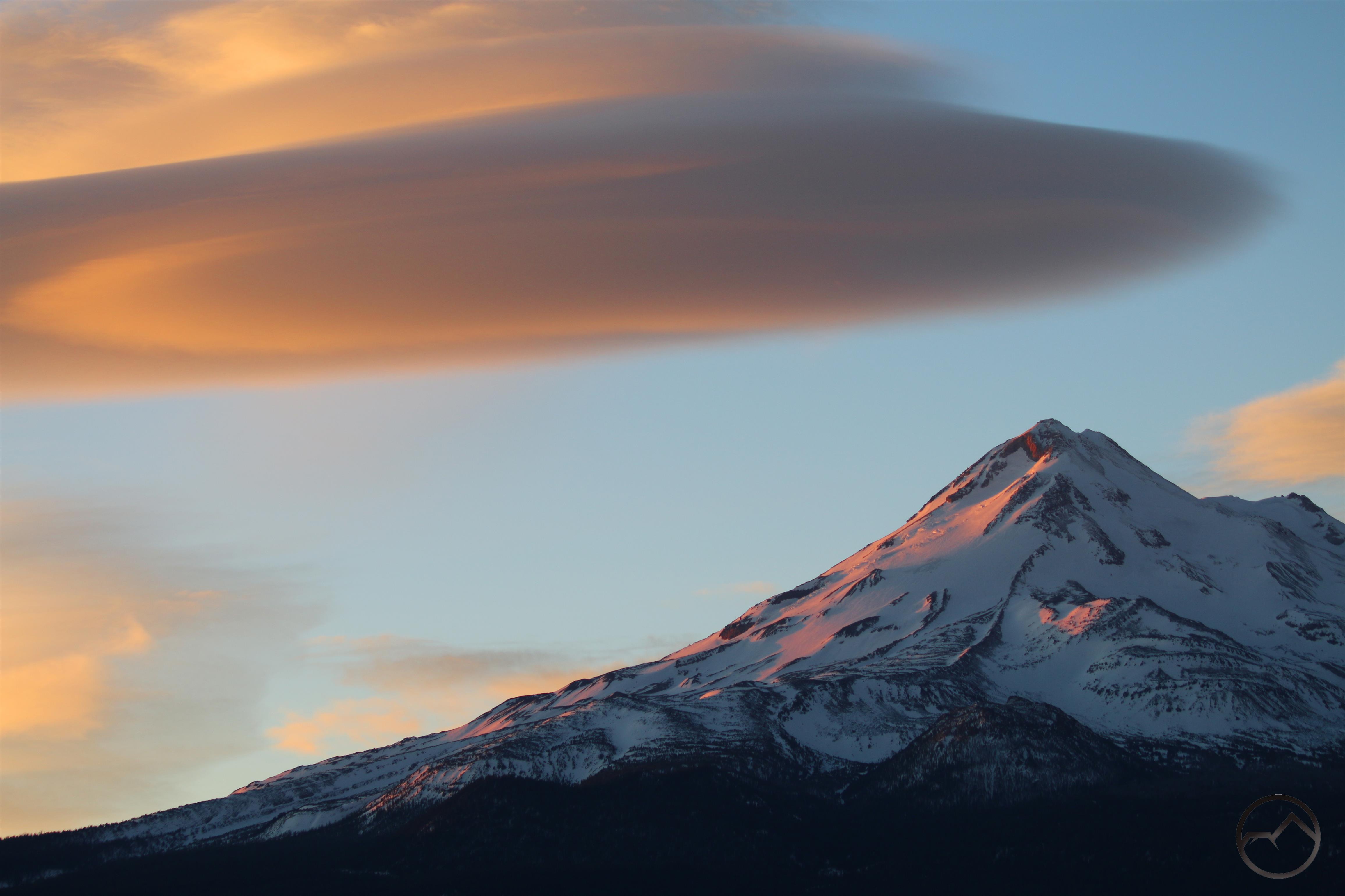
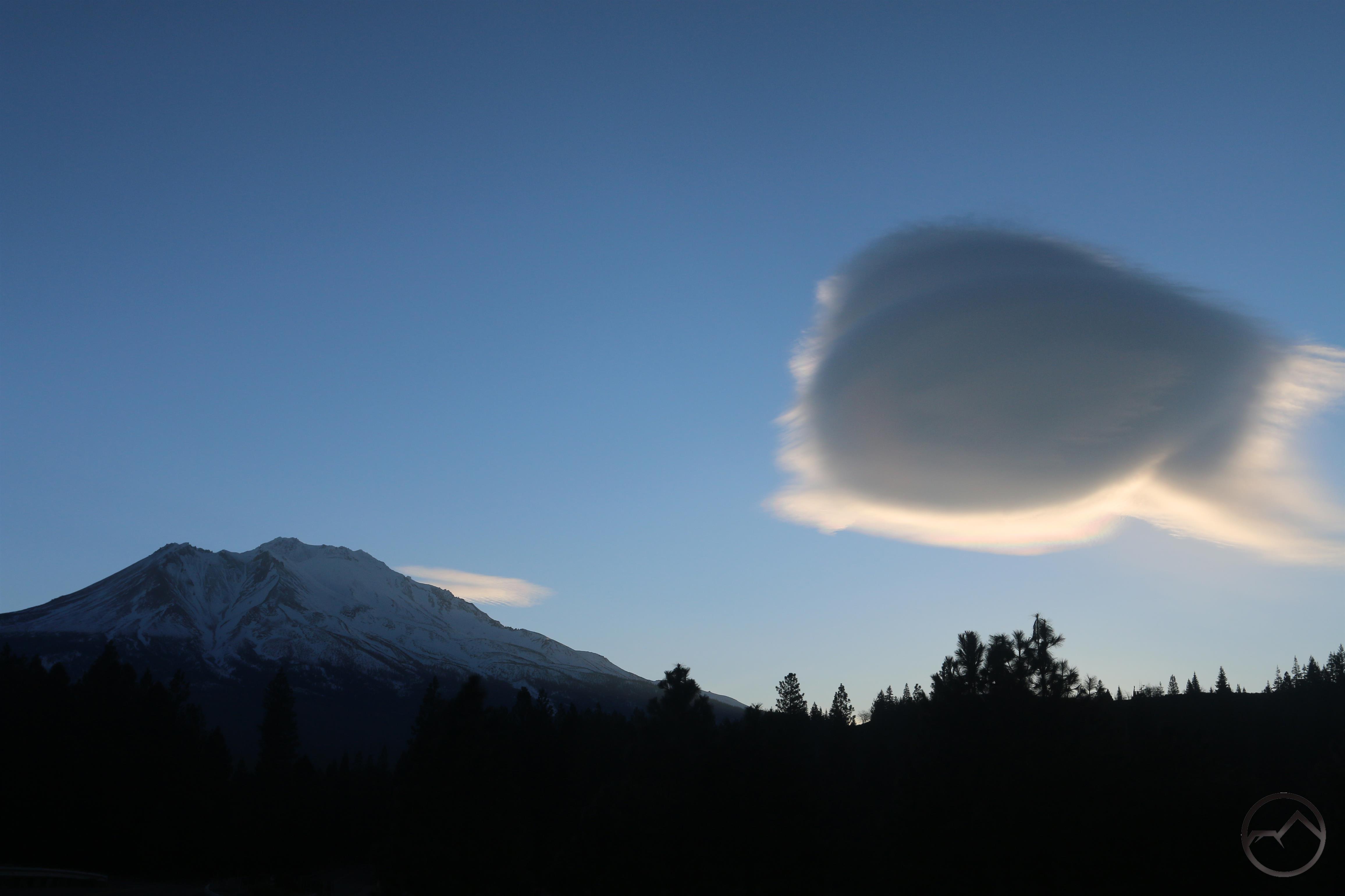
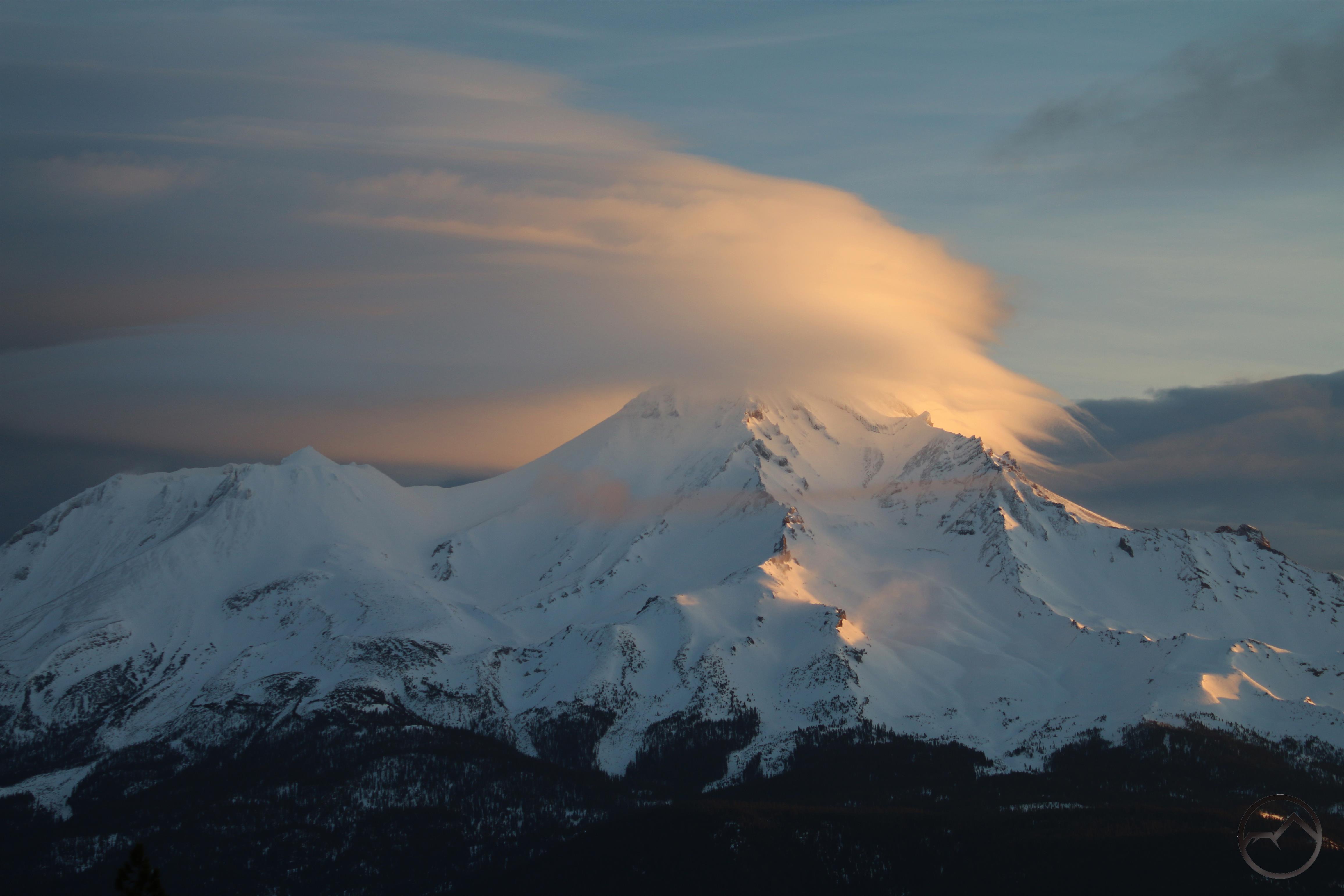
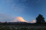
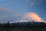
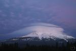
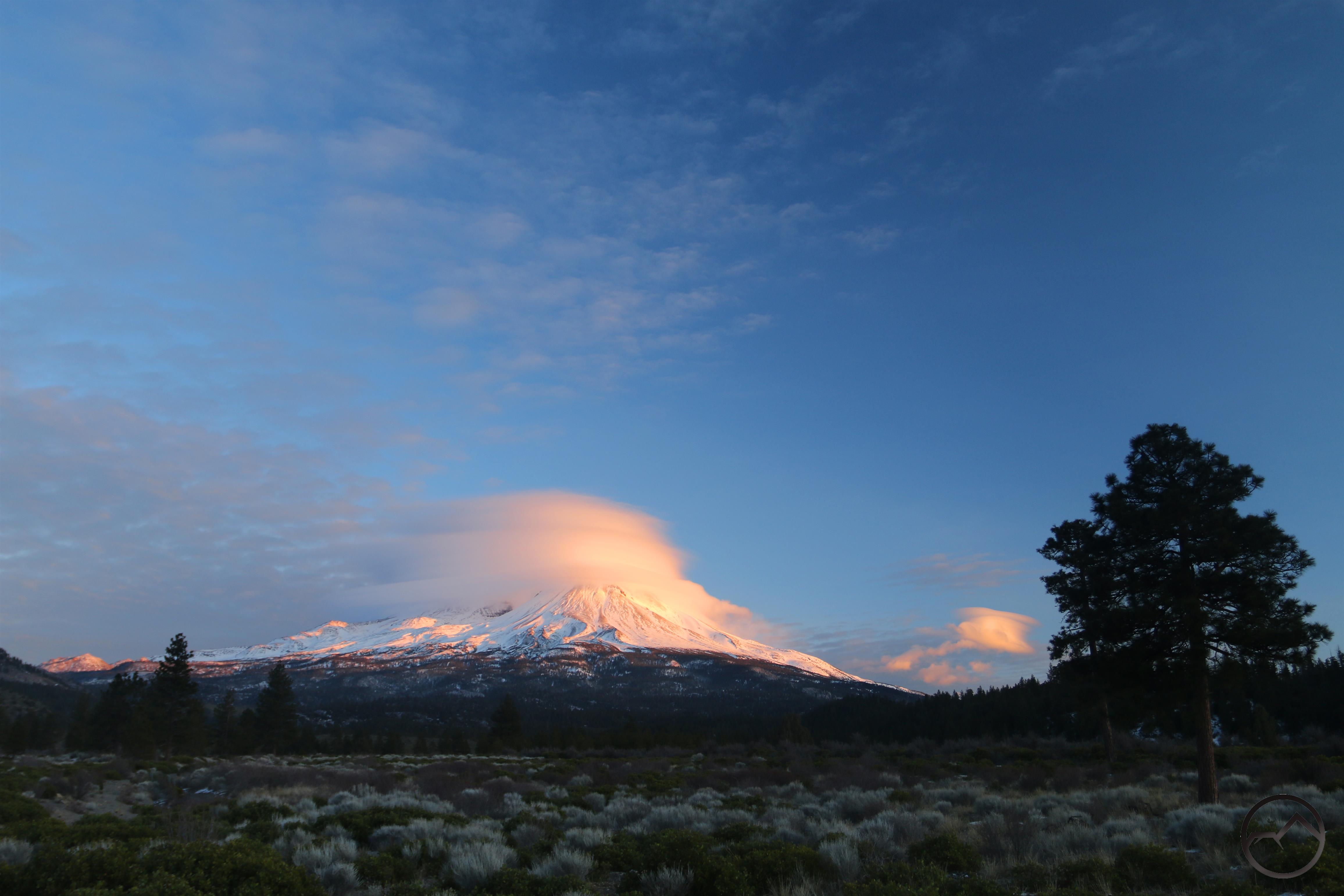
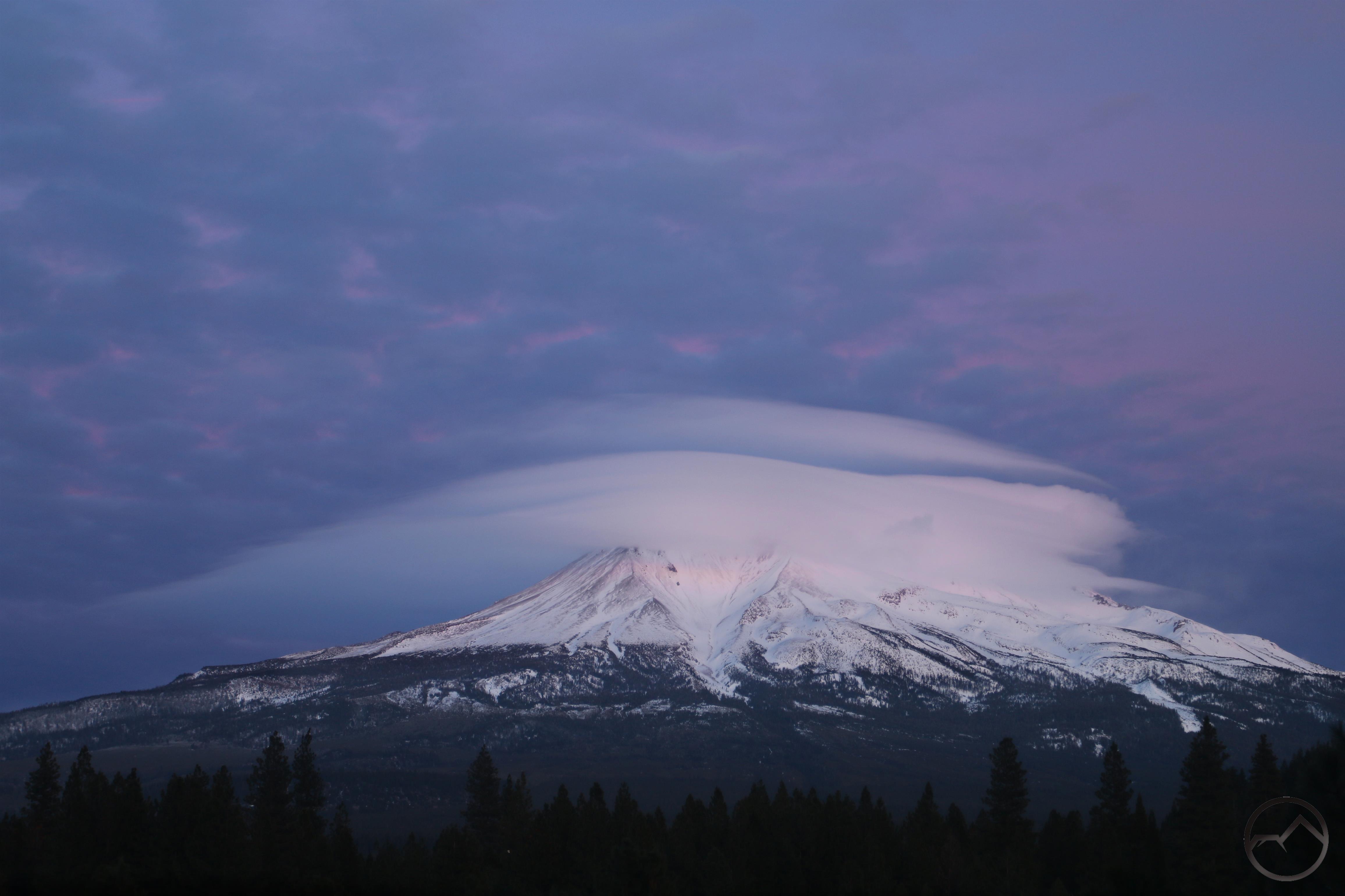
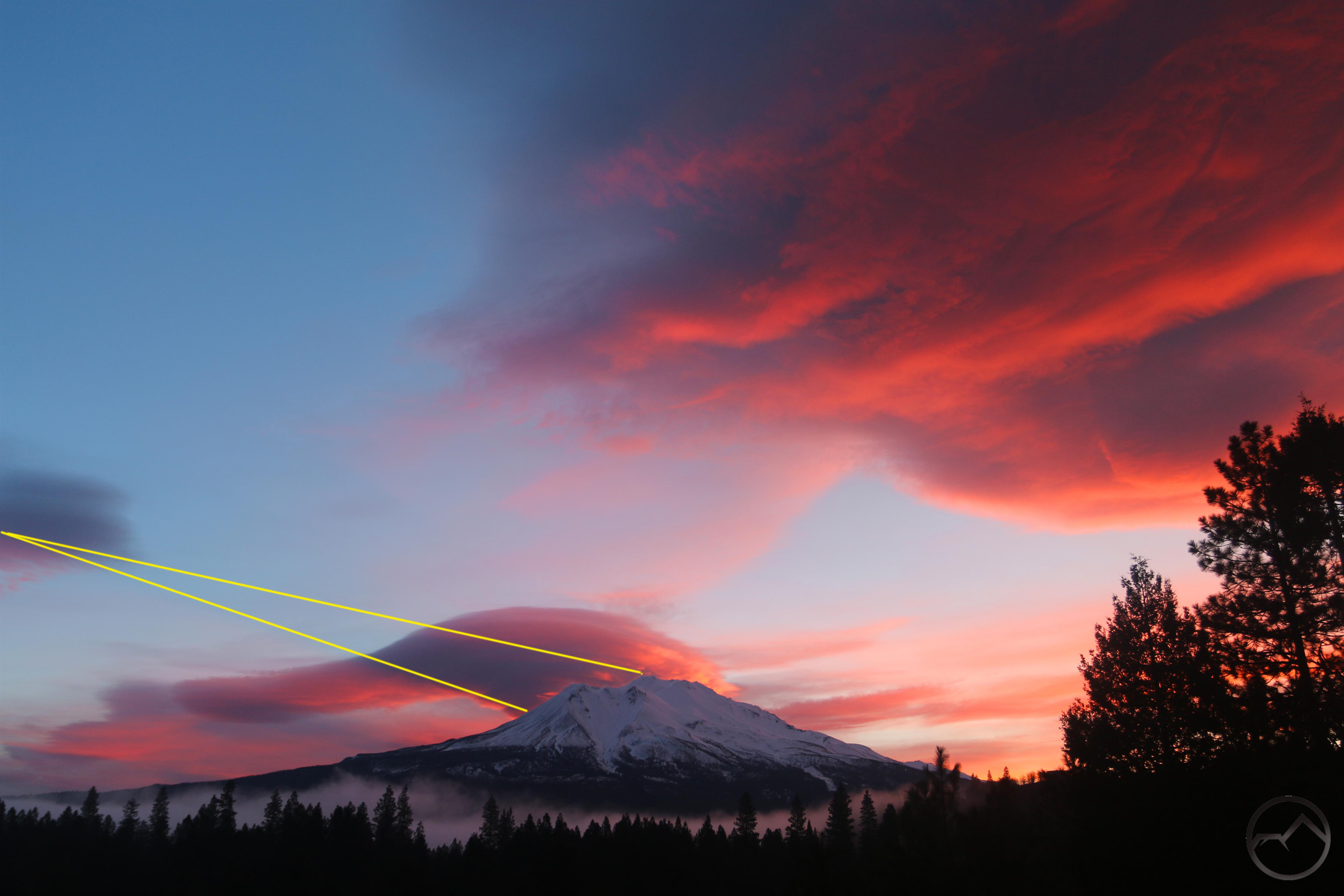
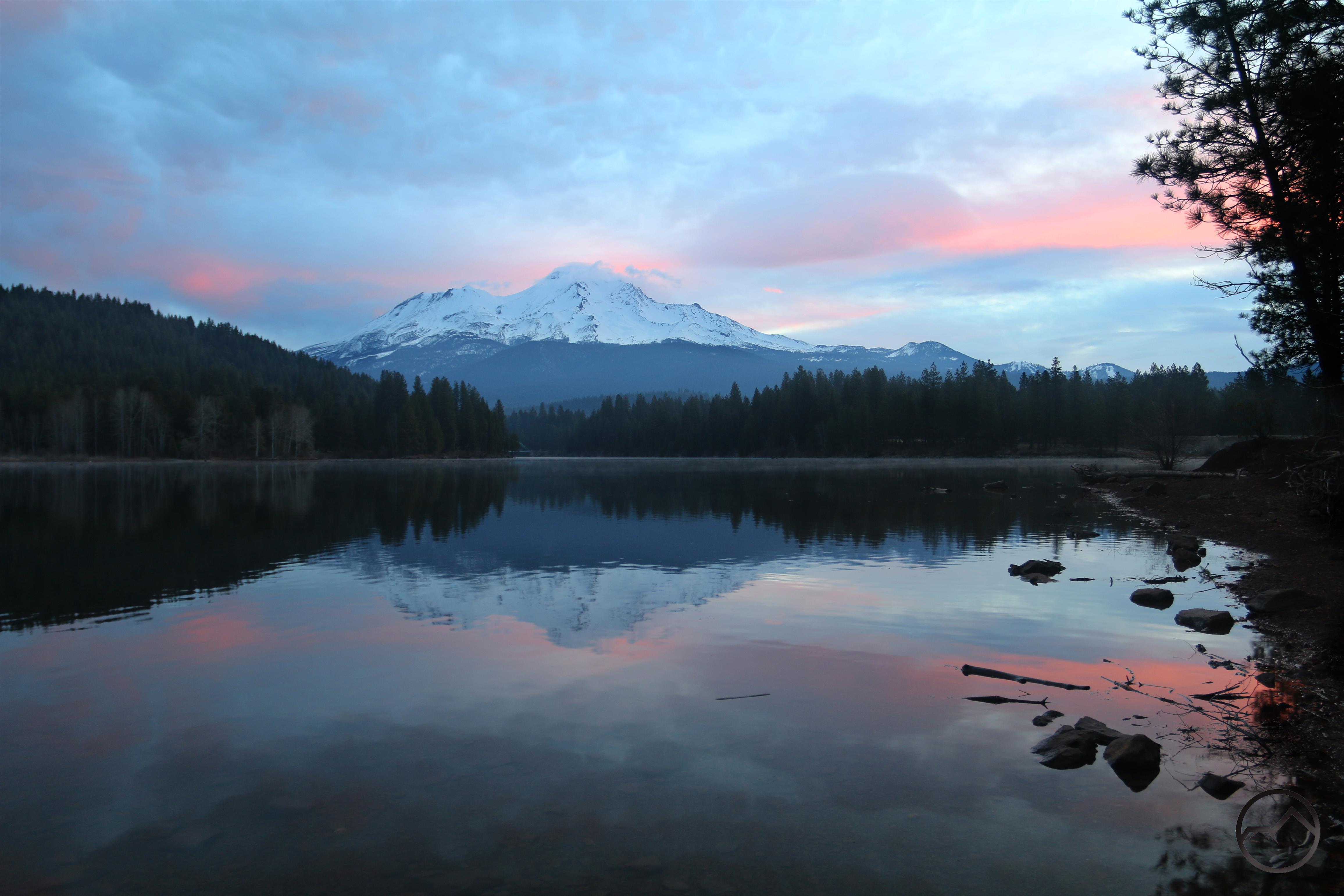
On Monday morning I was up early to checking out the sunrise. The rapidly shifting weather meant there might be a lenticular. There was indeed a disk near the mountain. I headed over to Lake Siskiyou and was pleased to see the lake relatively still. With a great sky full of clouds, I was anticipating a terrific sunrise. It was not meant be, however. Clouds far to the east filtered out a lot of the sunrise light and pink color hit only a small area for only a brief moment. Fortunately I was in position to catch it and while it was not as good as I had hoped, it was quite beautiful.
Now another we are into another week of social distancing and winter weather. It is not a great combination. As I write this it is snowing outside. 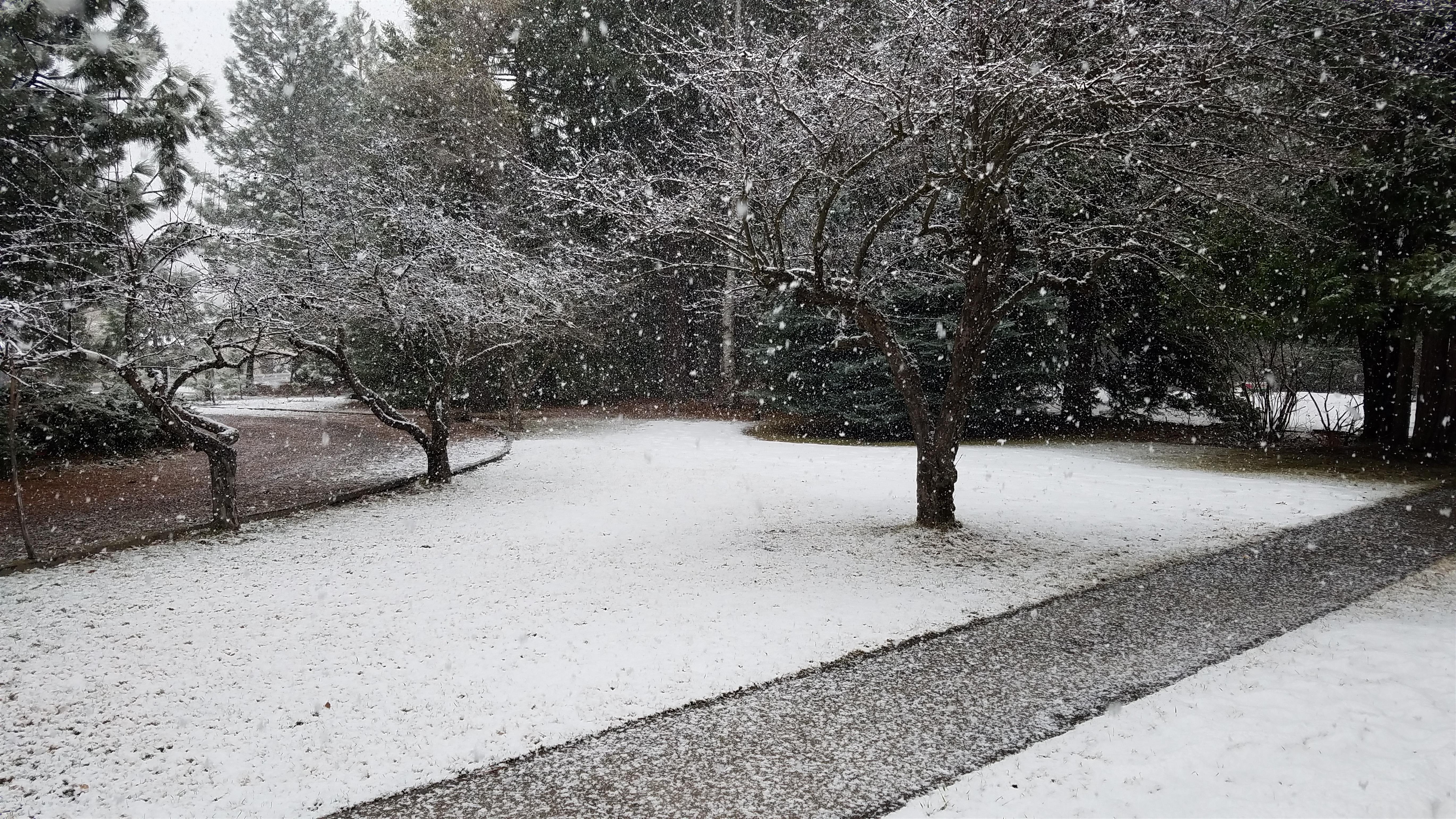
Hopefully the weather will change in a few days and we can all head back outside again.
With the new While the shelter in place order is in effect, we have been careful where we have gone outside. We picked hikes and destinations where we are confident we aren’t going to run into other people. Thus far, in all four trips out, we have had only a single encounter. One of the great things about the Mount Shasta area is how easy it is to slip out of the well-traveled corridors and enjoy the magnificent creation we are blessed with while not impacting other people. There are so many off-the-beaten-path spots around this area it is mind-boggling. My wife and I are grateful to be able to share that with our kids. Only our oldest (10) is beginning to understand his good fortune.
I am thinking that I may start a new series on the blog. I have always kept the focus on Mount Shasta and the surrounding area, rarely blogging anything about myself or other personal activities. I have put up stuff about my kids (like this post) but I have lots of other things I have wanted to write about but have intentionally stayed away from. Now, as the world has changed a bit, perhaps I ought to change the site a bit too. I am considering two new series. The first would focus on places beyond Mount Shasta and even beyond Northern California that are important to me. I love writing about places, wherever they may be and this may be a good time, while we are sheltering in place, to travel there in spirit. The second series would examine music that I have strong emotional attachments to outdoor places. I have a strong tendancy to link music with places I heard them and forever keep them linked. I’m not sure if my personal associations would be interesting to anyone, but I think examining music would be a fun vehicle to look back on things I have experienced. I am even considering shutting down HikeMtShasta as we know it and just doing things like this. That’s another conversation though. Any thoughts on which direction I should take in the short term?