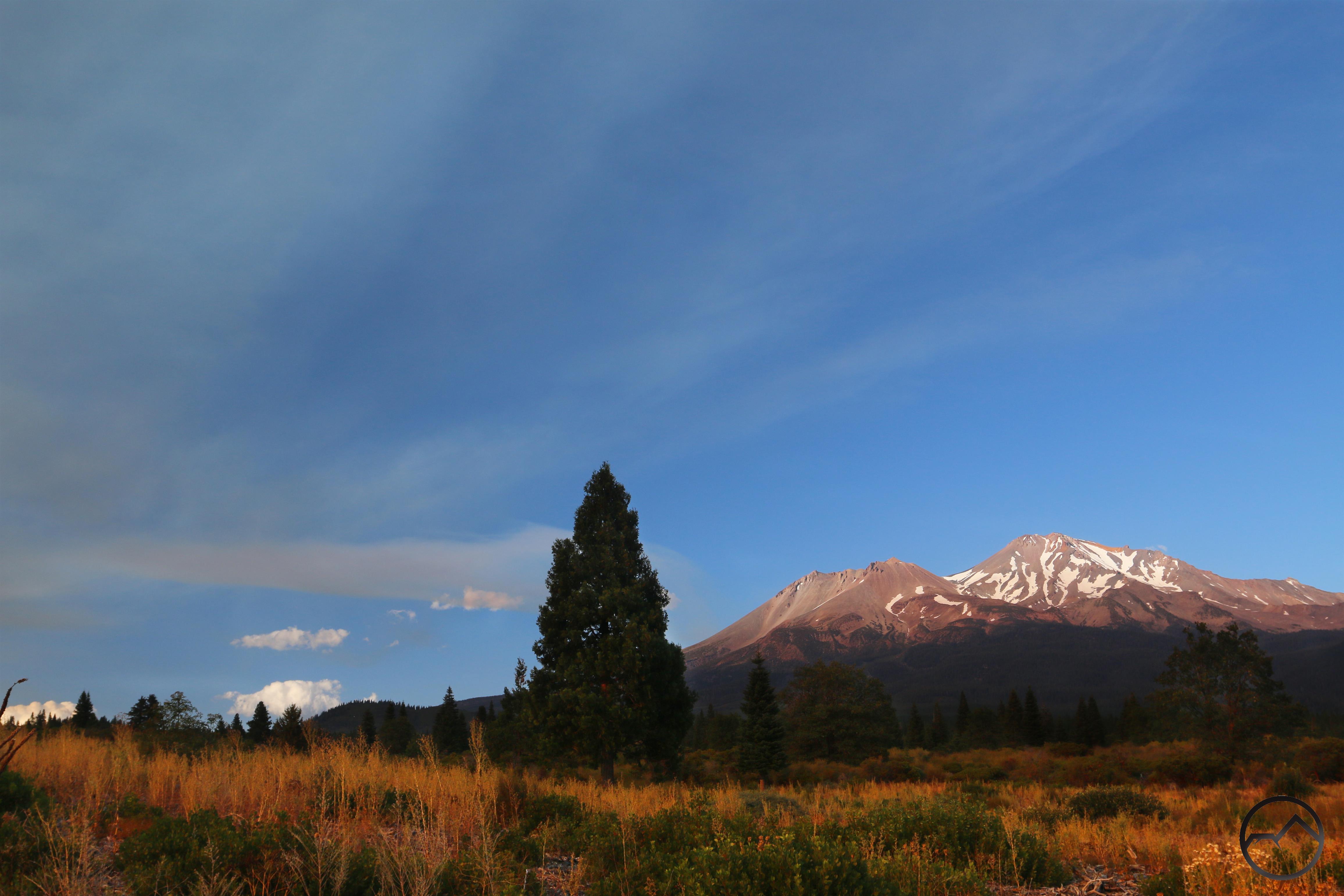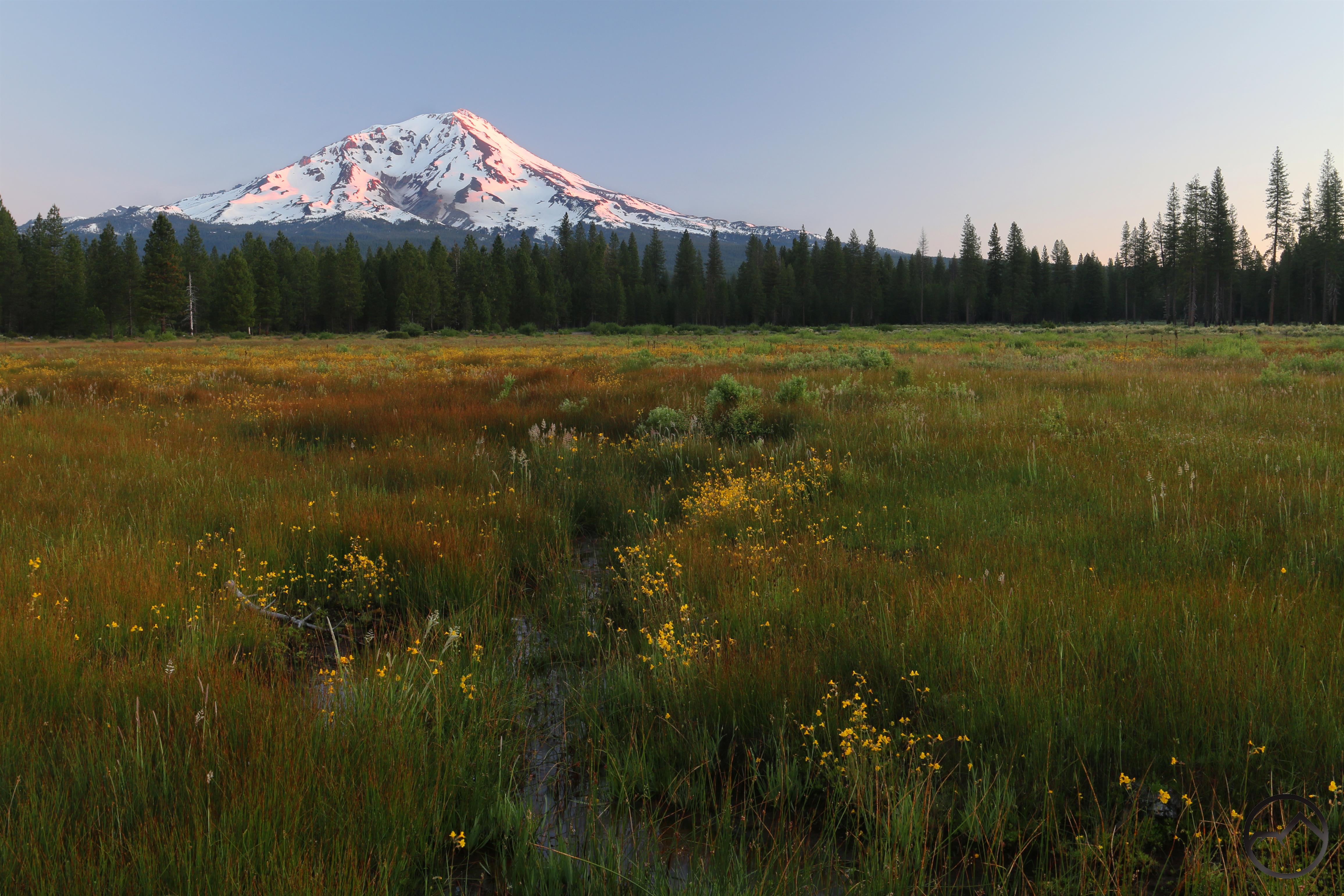
The Sierra Nevada is one of the most acclaimed mountain ranges in the world and the preeminent range of California. It is the longest single range in the coterminous 48 states and a land of iconic landscapes that include Yosemite, Lake Tahoe and the High Sierra. Towering waterfalls, granite domes, jagged, sawtooth peaks and roaring rivers are all essential elements of this alpine paradise. The range is so vast it can be difficult to appreciate all of its features and perceive them in their proper position.
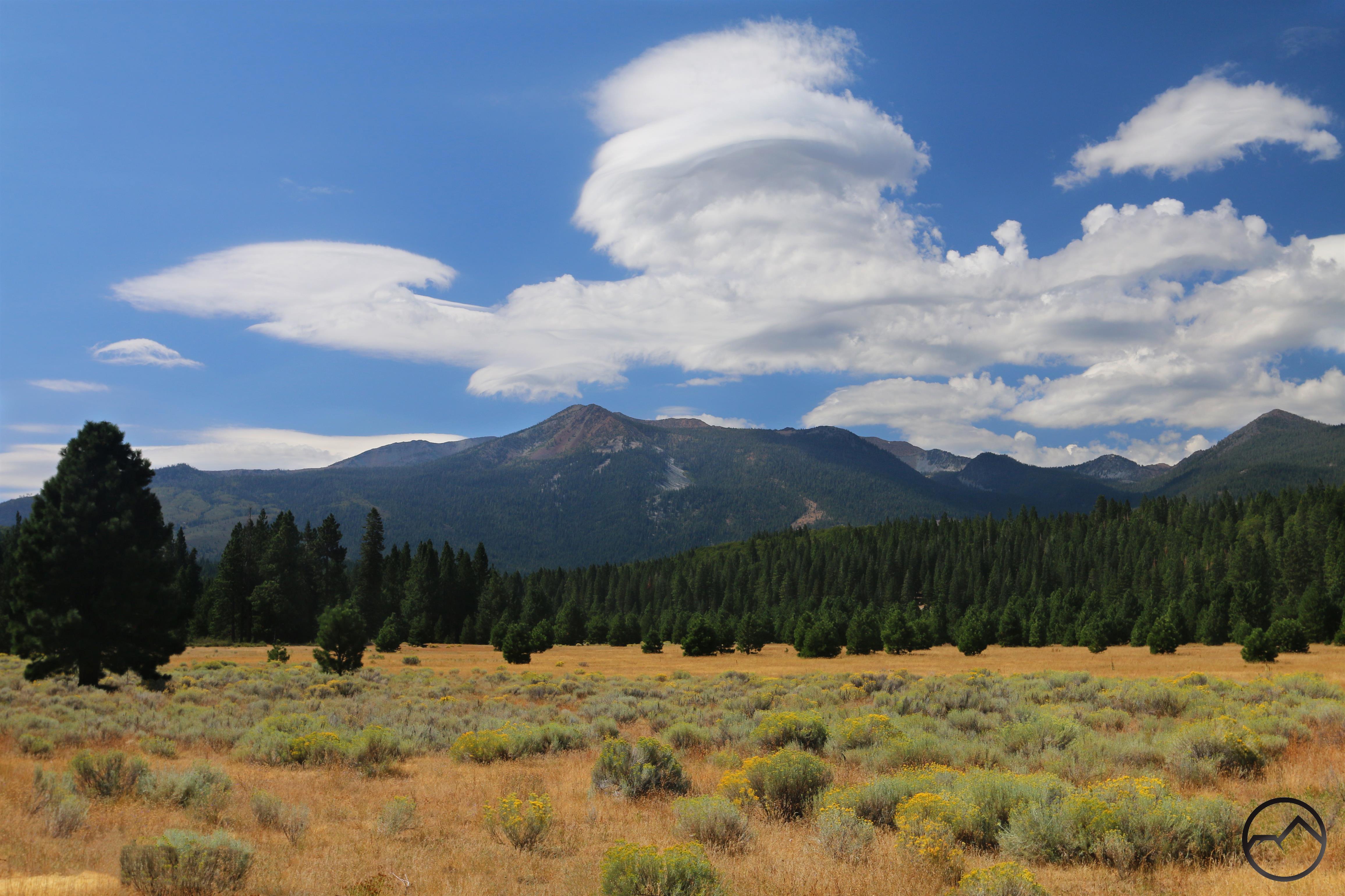
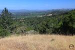
This difficulty is particularly true of what could loosely be referred to as the Central Sierra Nevada. This area is, in many ways, the forgotten Sierra Nevada. They occupy a 55 mile expanse between the southern end of Lake Tahoe and the northern end of Yosemite. Accessed by long, winding roads and without famed destinations that permeate the public consciousness, this central part of the Sierra Nevada often forms a blank spot on people’s mental maps of the range. In spite of this, there is a great deal of exceptional beauty to be found here, and much of it with minimal crowds. The region also boasts intriguing geology that gives it a visual appeal that is quite distinct from the rest of the Sierra Nevada. Anyone looking for a chance to enjoy grand mountains, wilderness settings and great beauty will be more than satisfied by their time in the Central Sierra.
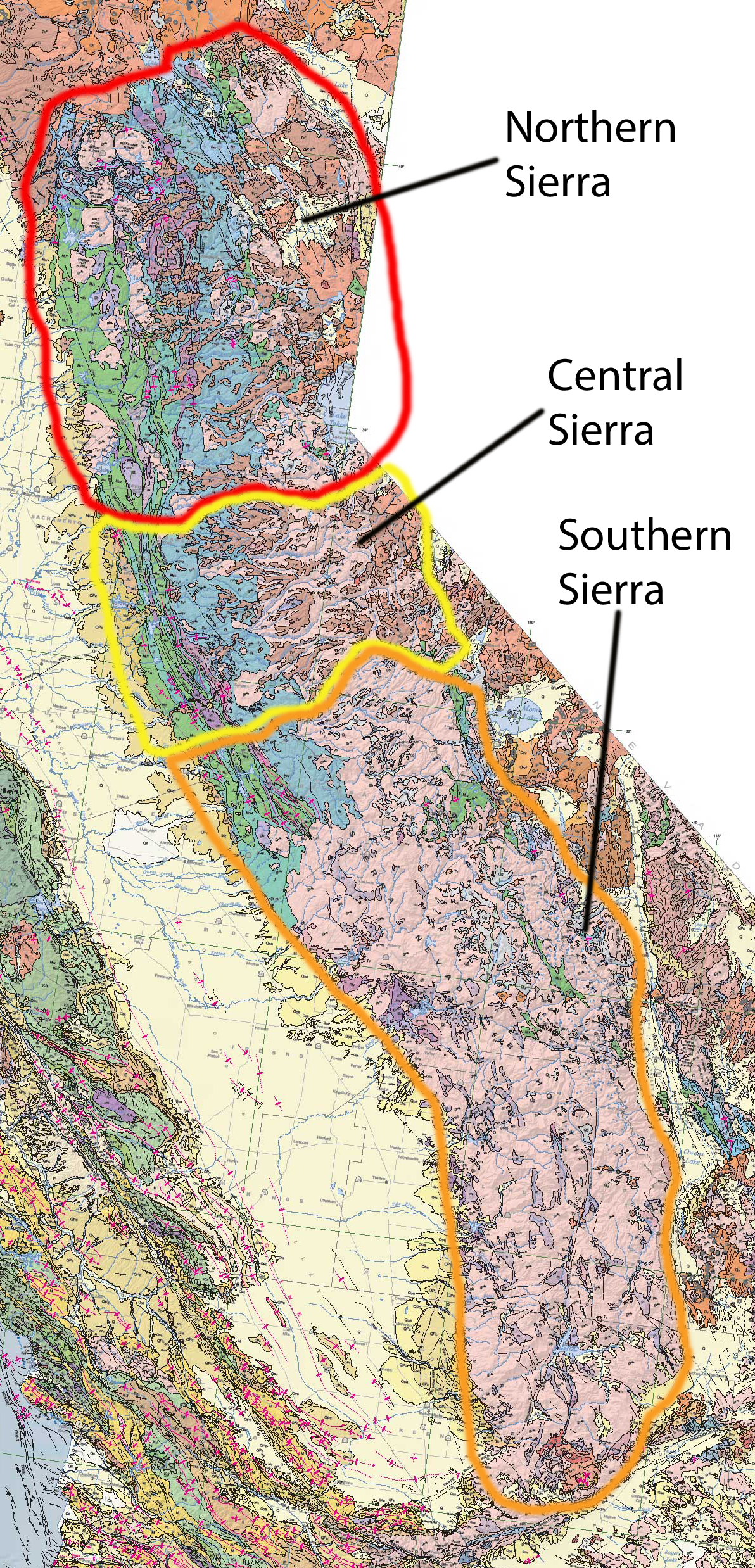
To say that there is a section of the Sierra Nevada is to imply that there are parts to which it sits astride. In this case, there is a Northern Sierra and a Southern Sierra. These are the areas typically thought of when considering the Sierra Nevada. It should be noted that there are other taxonomies for the regions of the Sierra Nevada, but in geologic make up, as well as human use patterns, these categories are generally applicable.
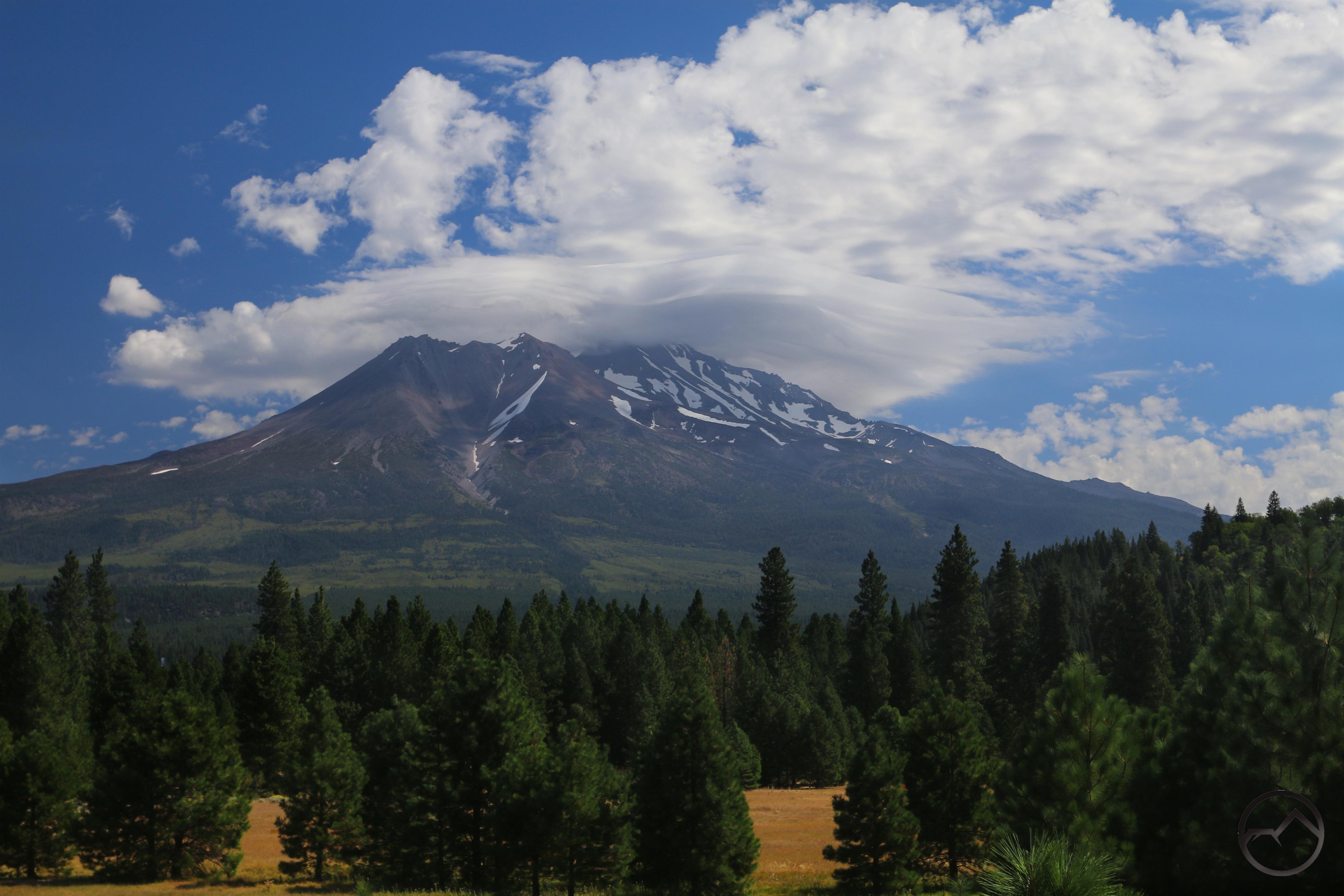
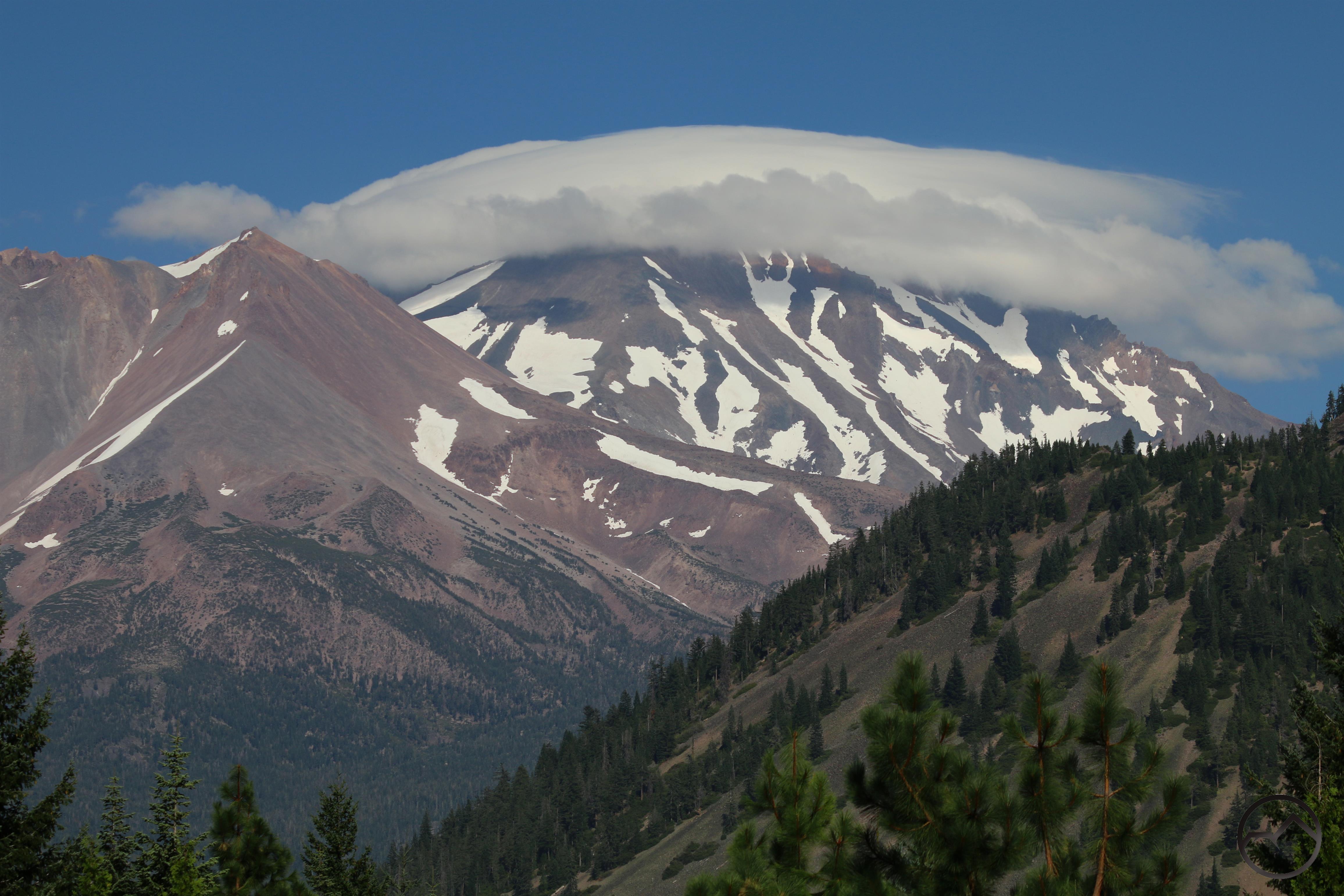
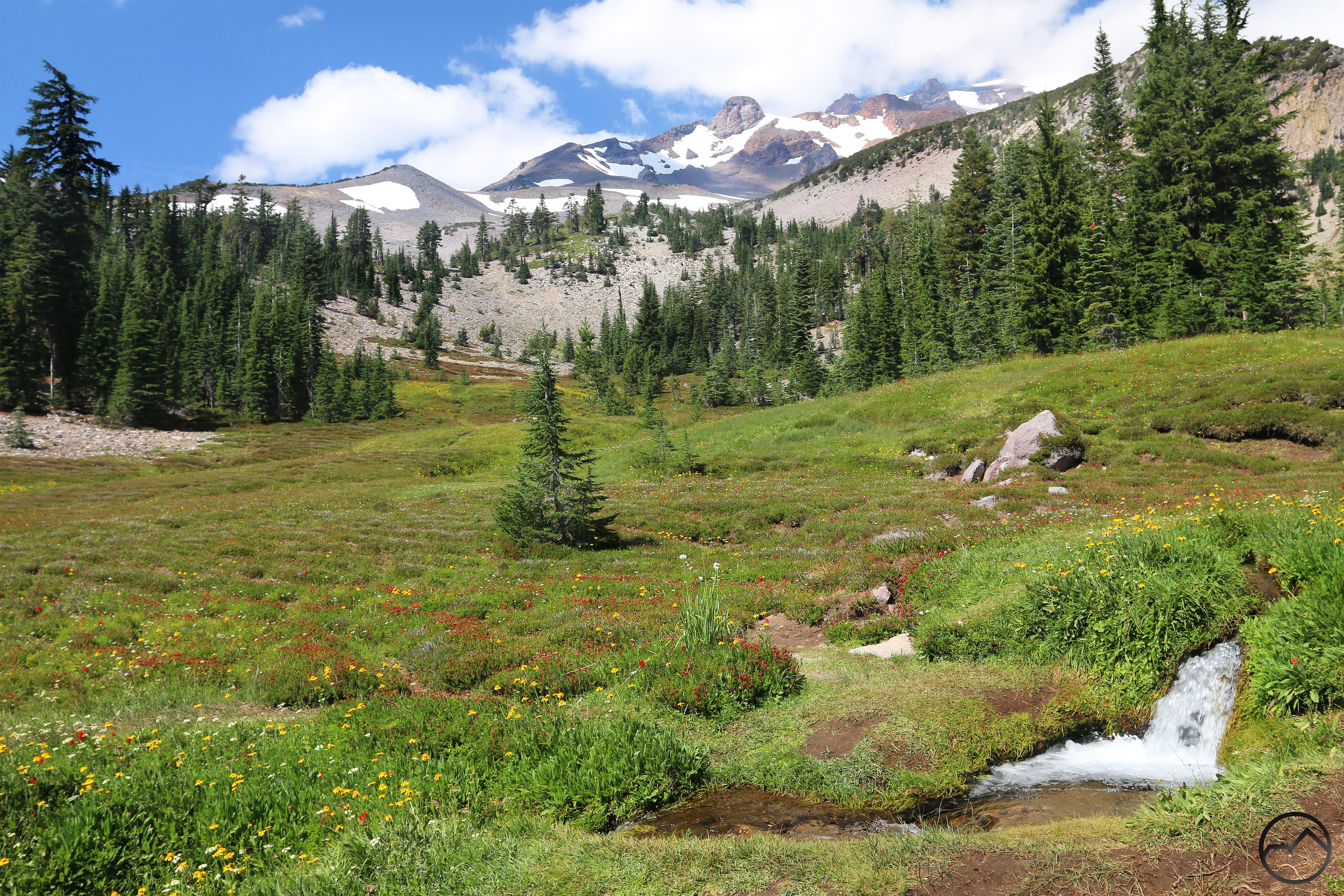
 The Southern Sierra is the most recognizable part of the Sierra Nevada. Composed of vast expanses of glaciated granite, this is generally the area that most people think of when they consider the Sierra. World-renowned destinations like Yosemite, the Mammoth Lakes and Sequoia and Kings Canyon National Parks are all found in this part of the range. In size and scale, this is the grandest part of of the Sierra Nevada. In area, this encompasses nearly half of the entire mountain range. However, it is a cohesive whole for a few reasons. First is the geologic unity, nearly all of it being a single granite pluton. Only the Ritter Range and the northeastern border areas of the Sherwin Range and the Ansel Adams and Hoover Wildernesses include other types of rocks. The second critical unity is one of scale and wildness. This is the area that is properly referred to as the High Sierra. All of the Sierra Nevada peaks that reach or exceed 12,000 feet are located here, found between the northern border of Yosemite and the southern end of the Golden Trout Wilderness. This area is also the largest unbroken block of wilderness in California, stretching from the Domeland Wilderness in the south all the way to Highway 120 in Yosemite. This part of the Sierra truly is a wild, spectacular landscape.
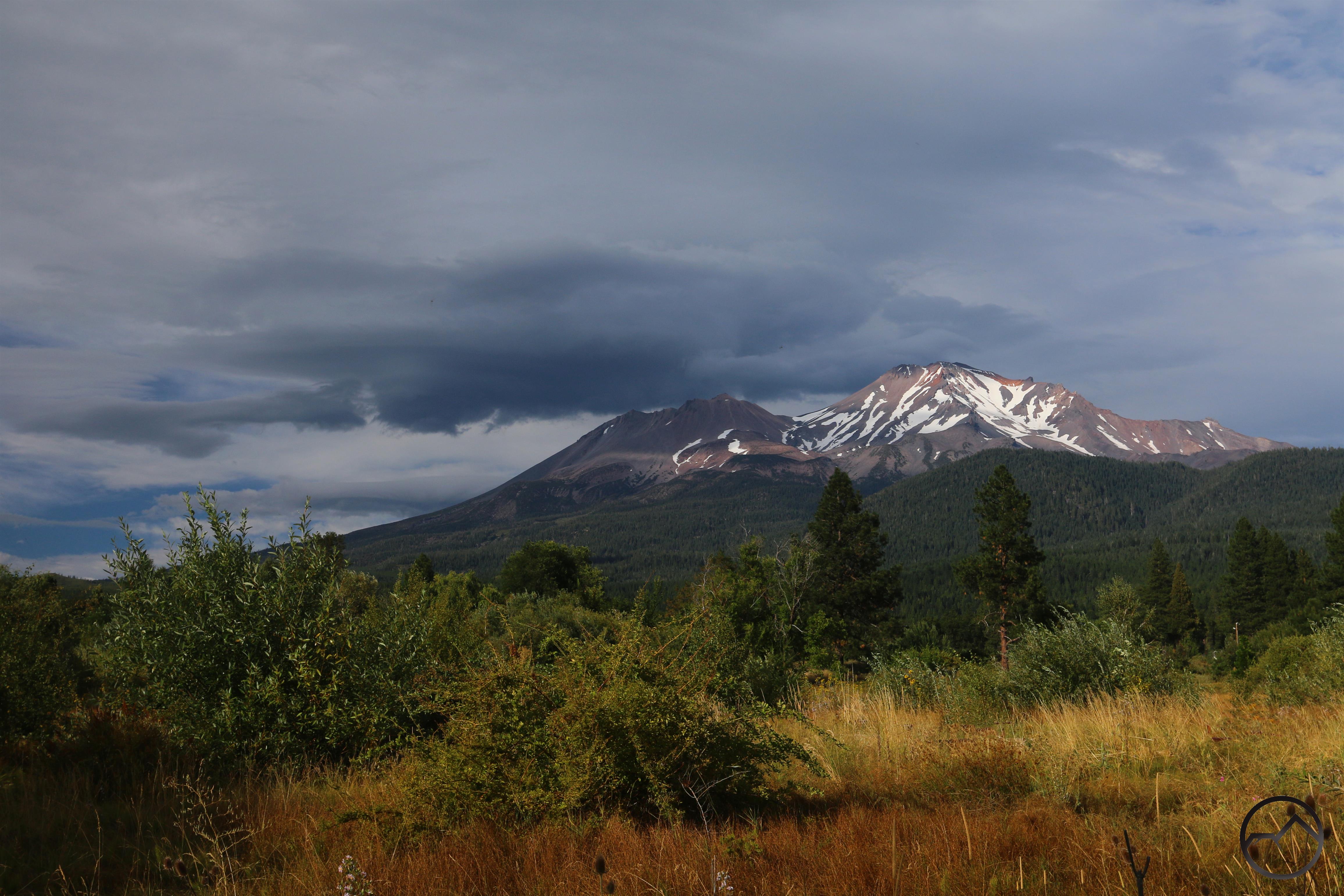
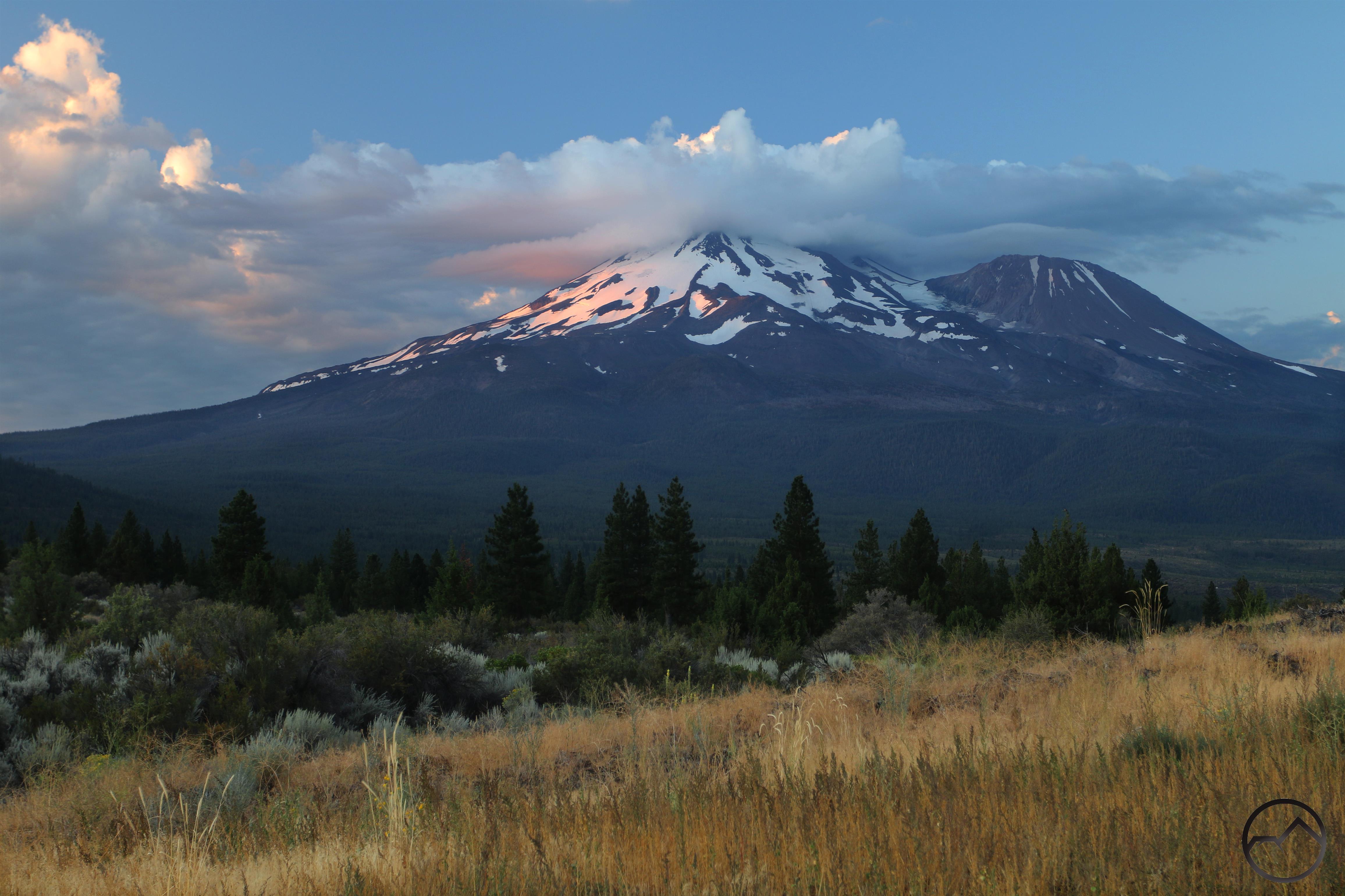
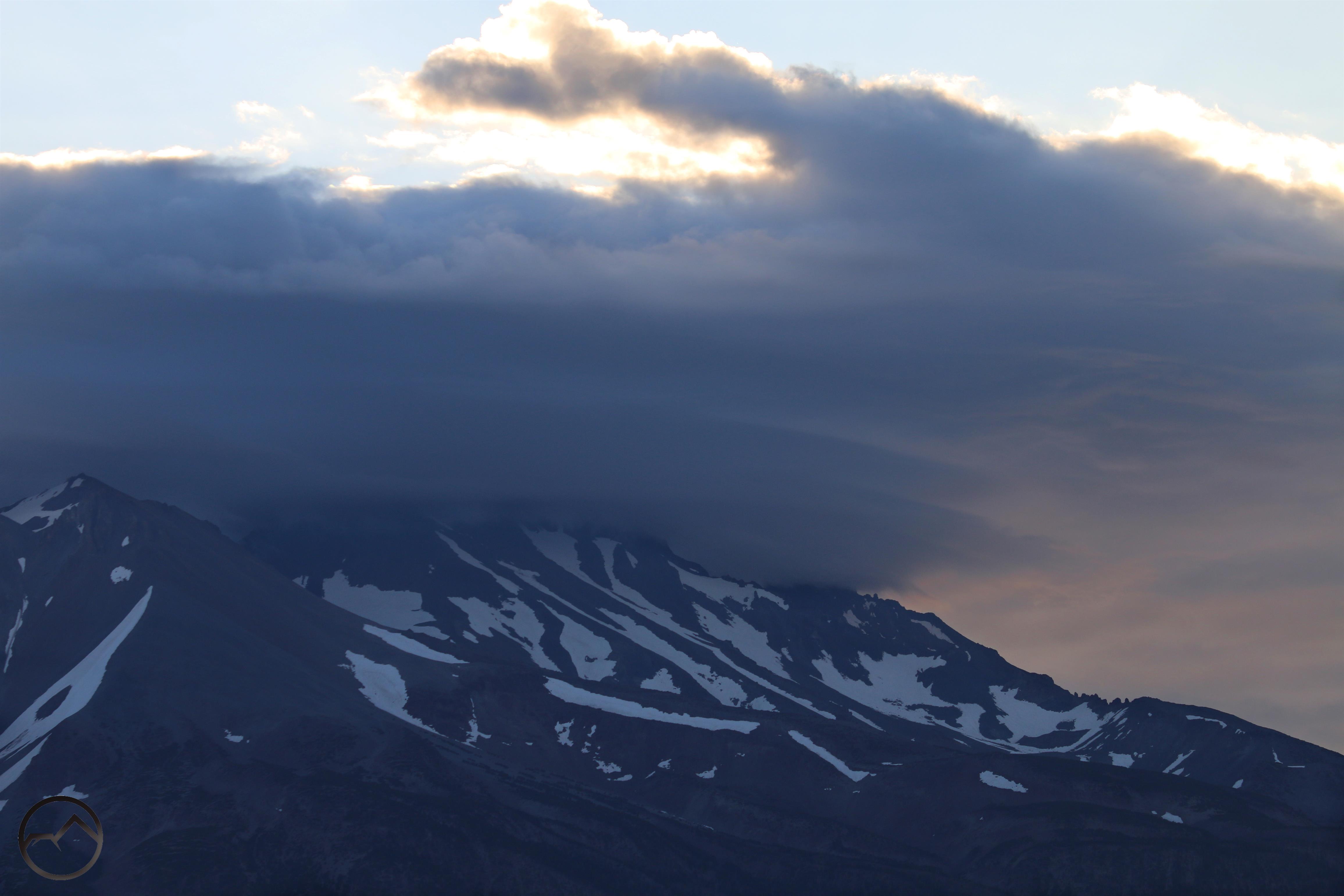
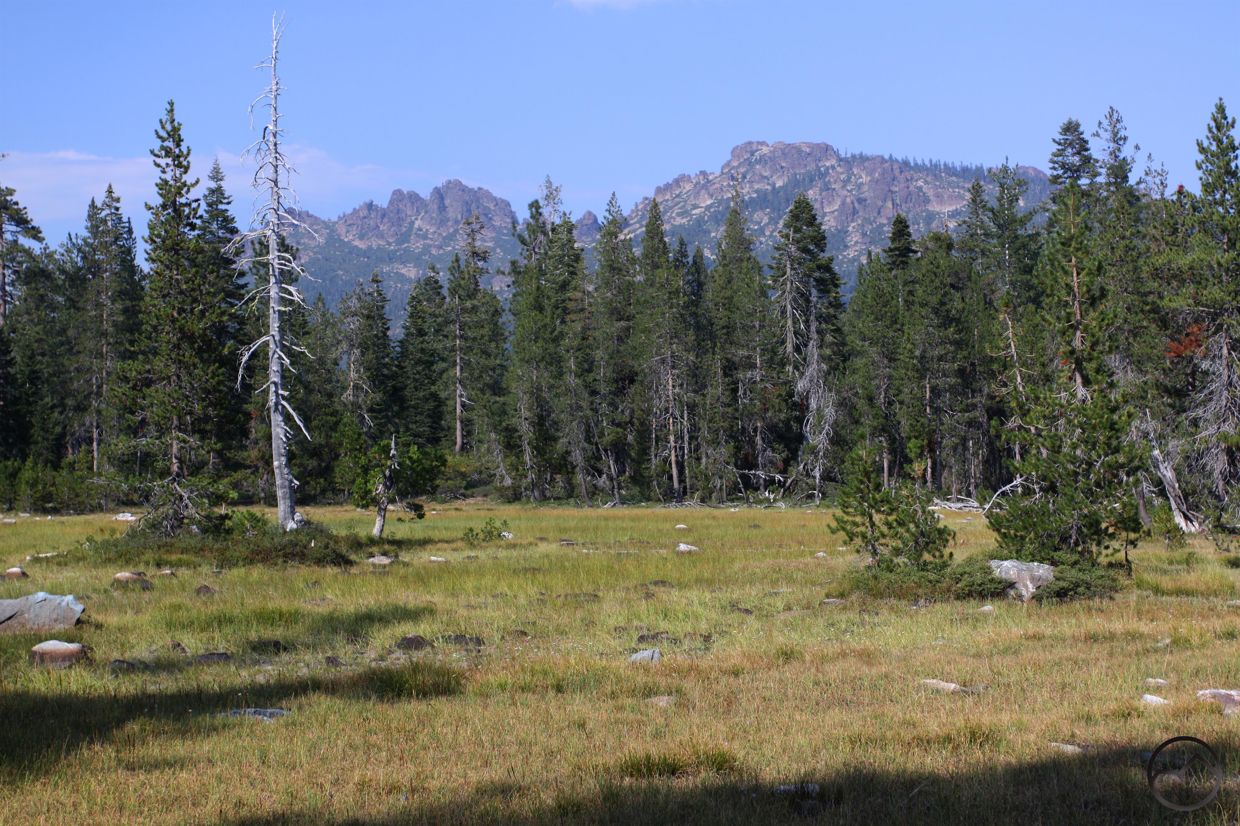
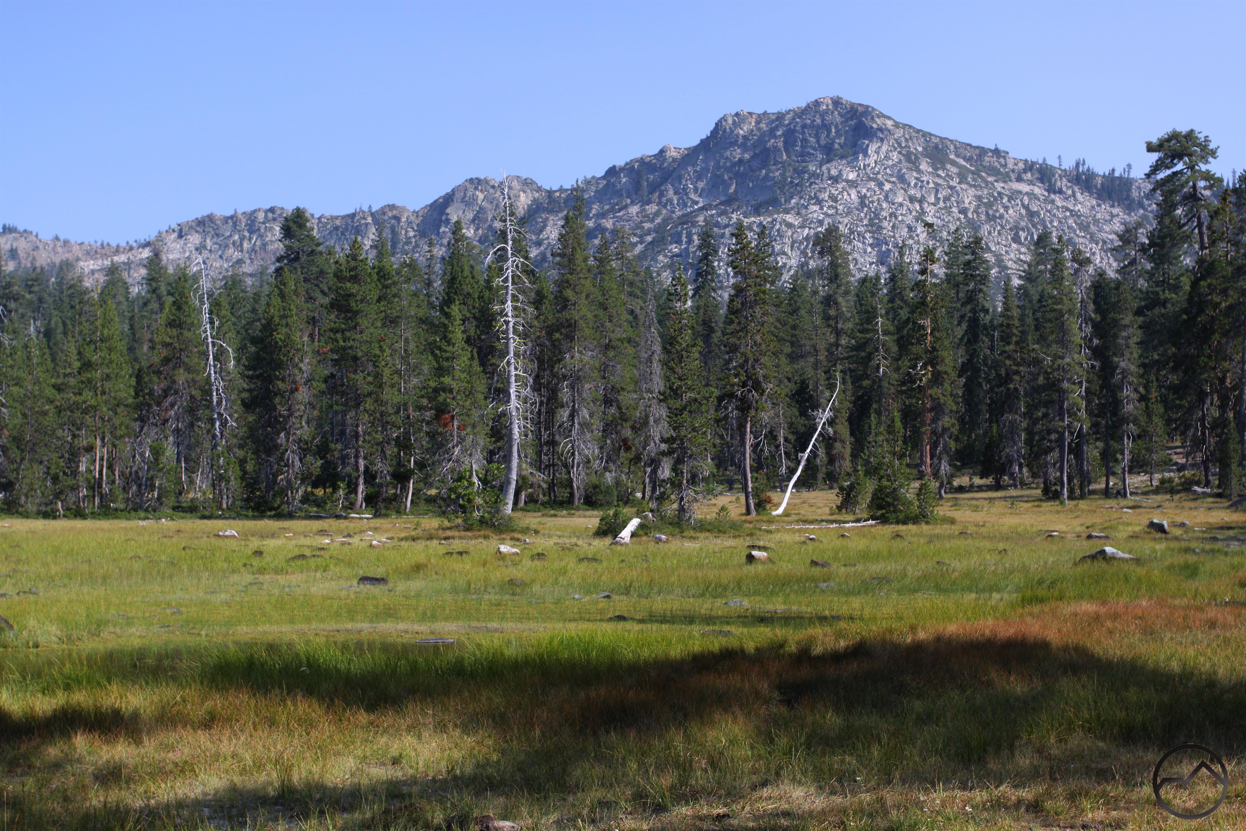
 The Northern Sierra is home to Lake Tahoe, another of California’s most famous mountain landmarks. In fact, the large lake anchors the southern end of this area, which extends north to the Lake Almanor area, where the Sierra Nevada ends and the Cascades begin. Geologically, this region is remarkably different from the southern part of the range. Rather than a vast granitic batholith, the Northern Sierra is composed primarily of sedimentary rocks, with significant intrusions of smaller granite batholiths. In some areas this rocky melange is then overlaid with lava flows. Ironically, many of this areas most iconic landscapes are granite, so to many visitors, there seems to be little difference between the Northern Sierra and what lies to the south. This is especially the case in the Desolation Wilderness and along the southern half of Lake Tahoe. Interestingly, the complex geology of the Northern Sierra is strikingly similar to that of the Klamath Mountains. This latter range is believed to have once been a part of the Sierra Nevada and was wrenched away from the rest of the range and deposited closer to the coast. Anyone who has traveled through the granite heart of the Trinity Alps and felt like they were in Desolation Valley near Lake Tahoe would be well within their rights to think so.
Separated at birth:
-
- Northern Sierra
-
- Klamath Mountains
Lying between these two well-known sections of the Sierra Nevada is the Central Sierra. This area is, in many ways, the lost Sierra, overlooked in favor of its more famous and accessible neighbors. Despite the relative anonymity, this area features some truly magical destinations and is loaded with spectacular landscapes.
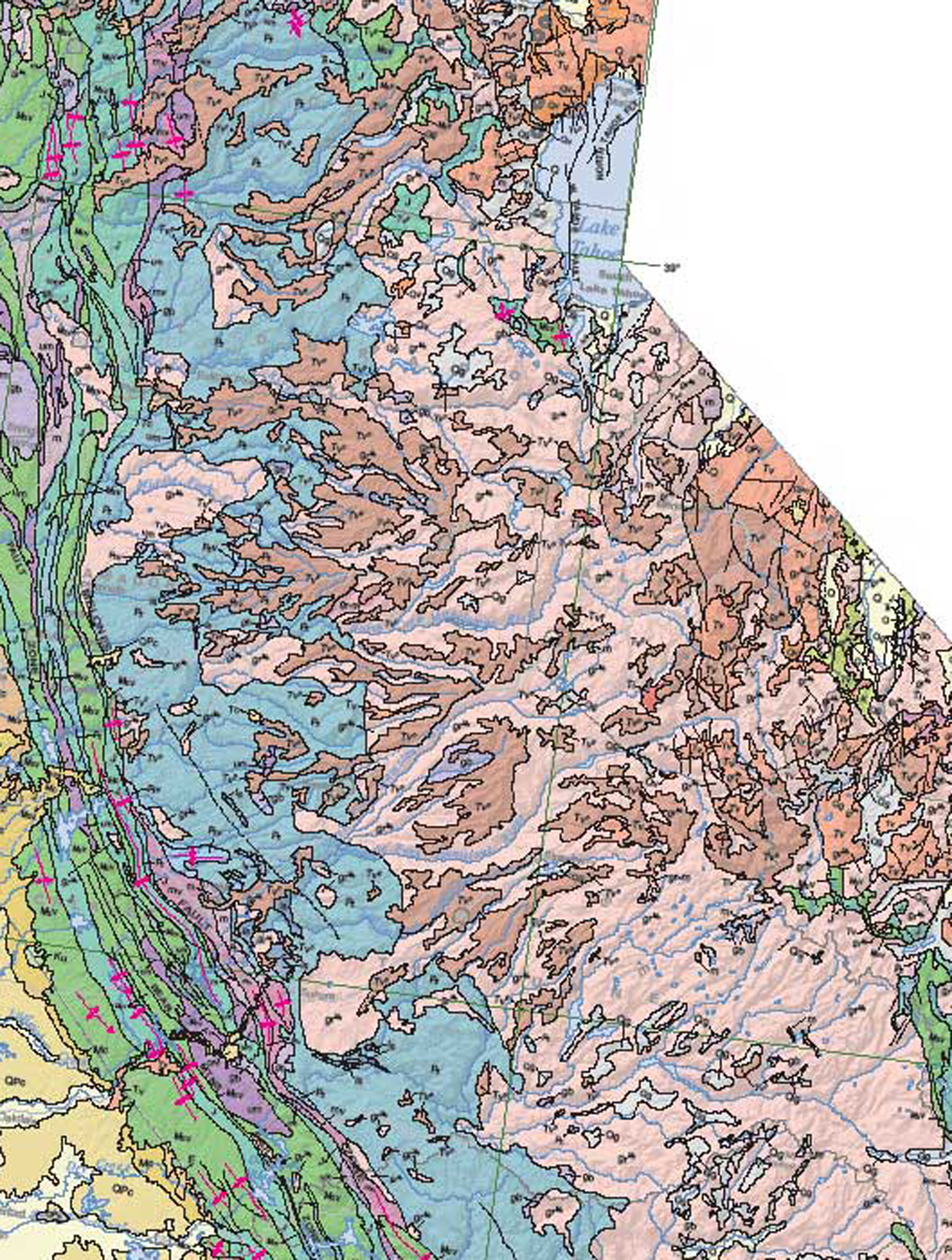
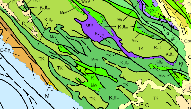
The pink areas are granite. The brown and tan areas represent volcanic mudflows that overlay the granite areas.
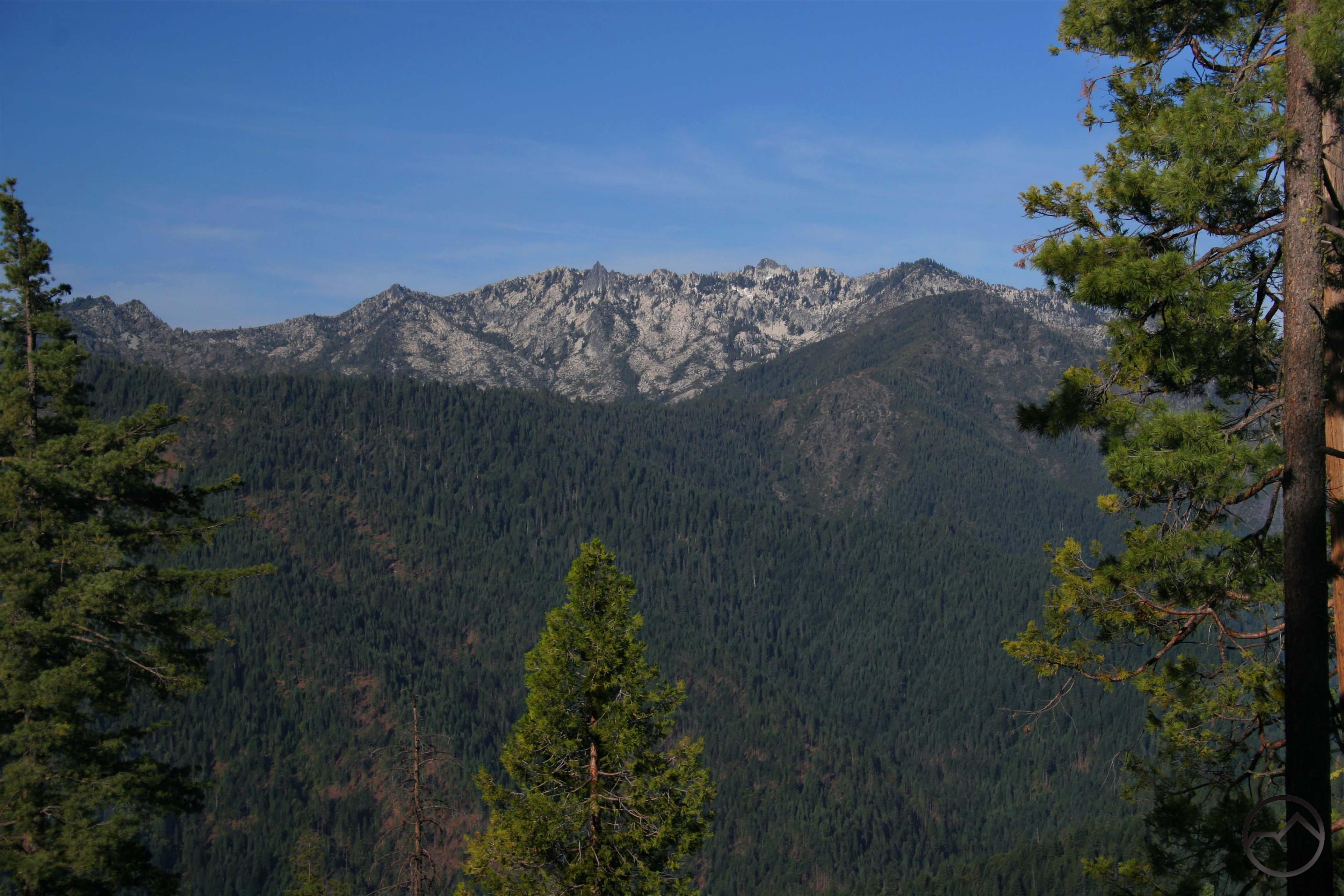
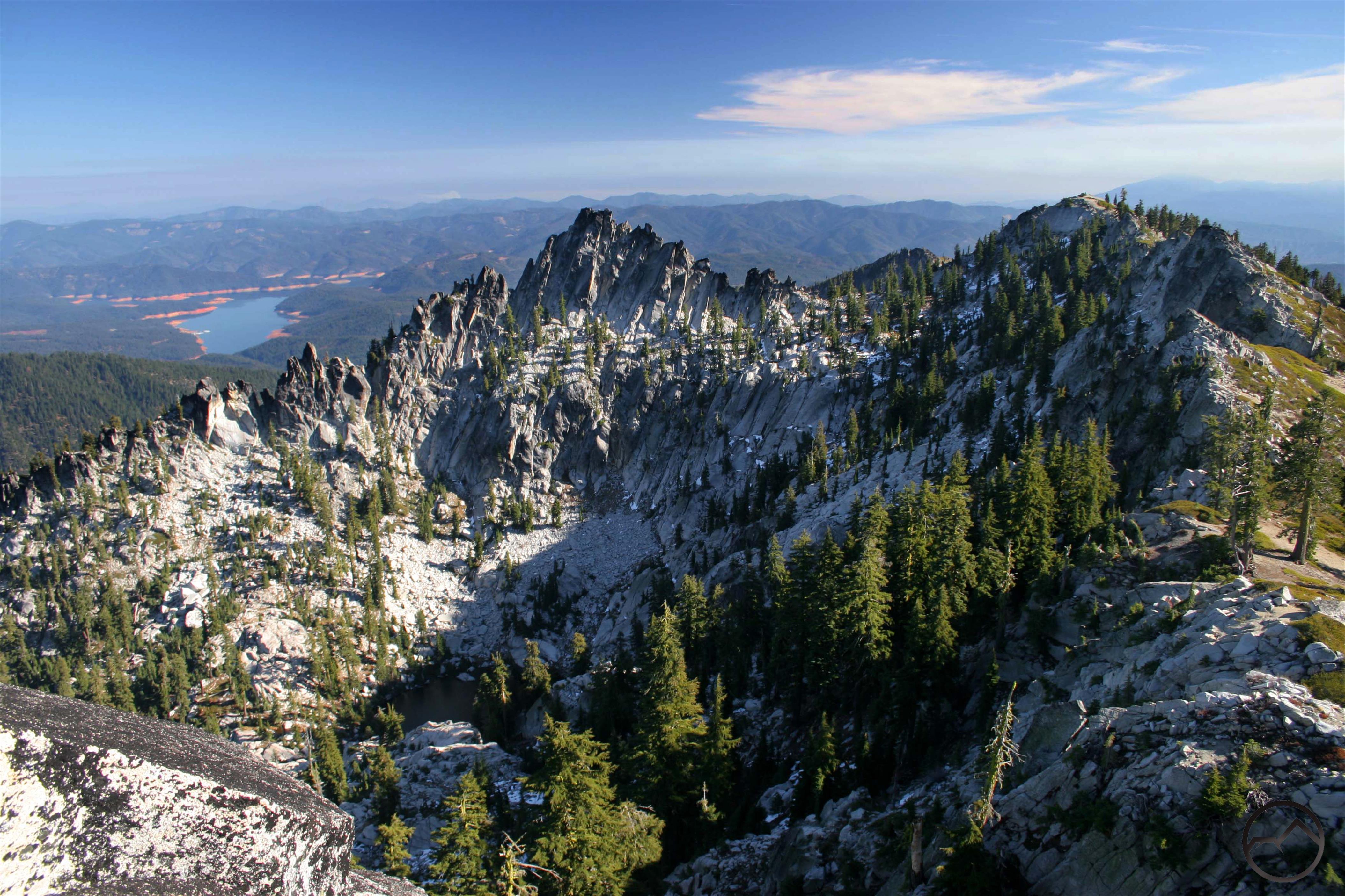
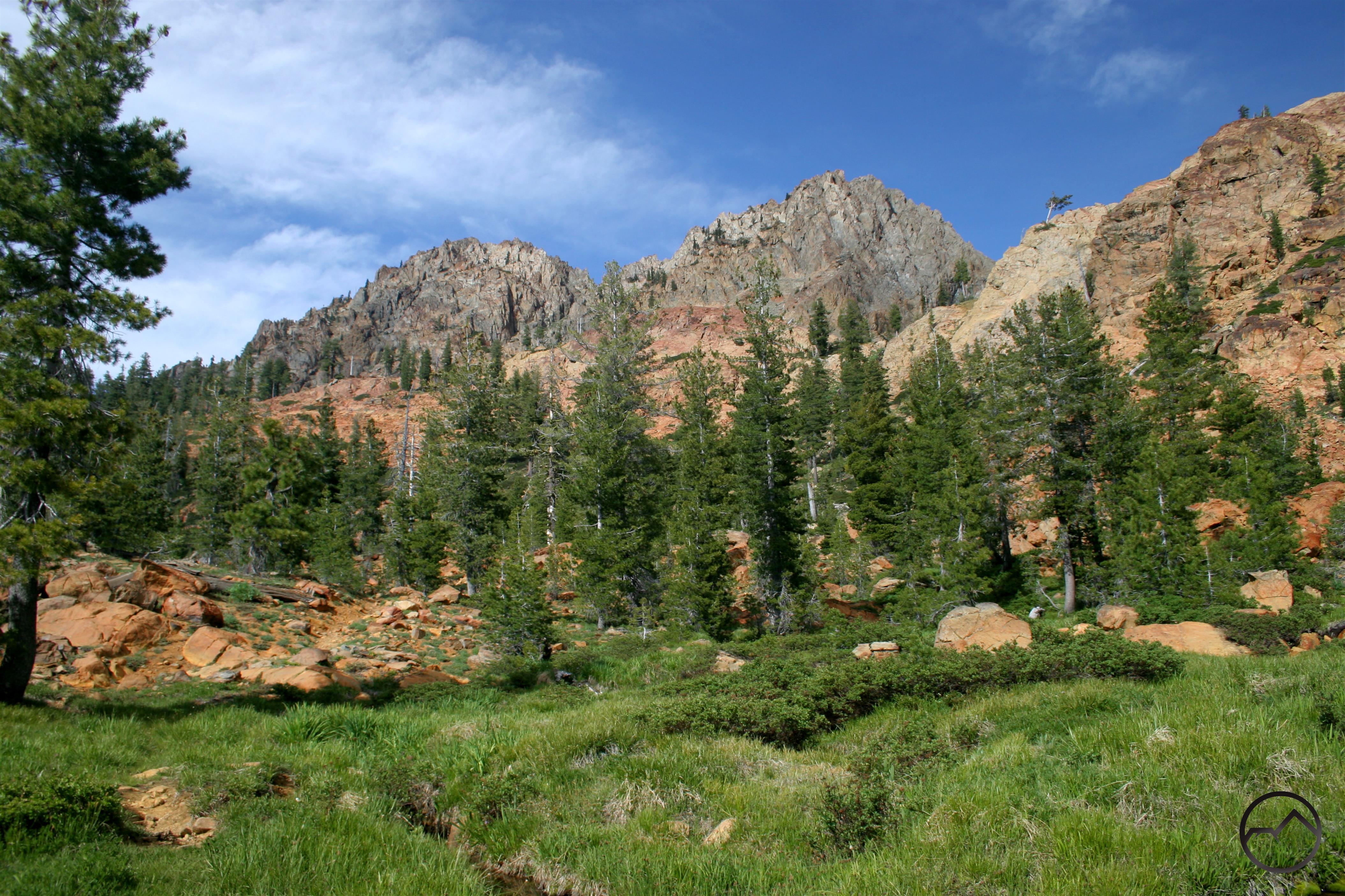
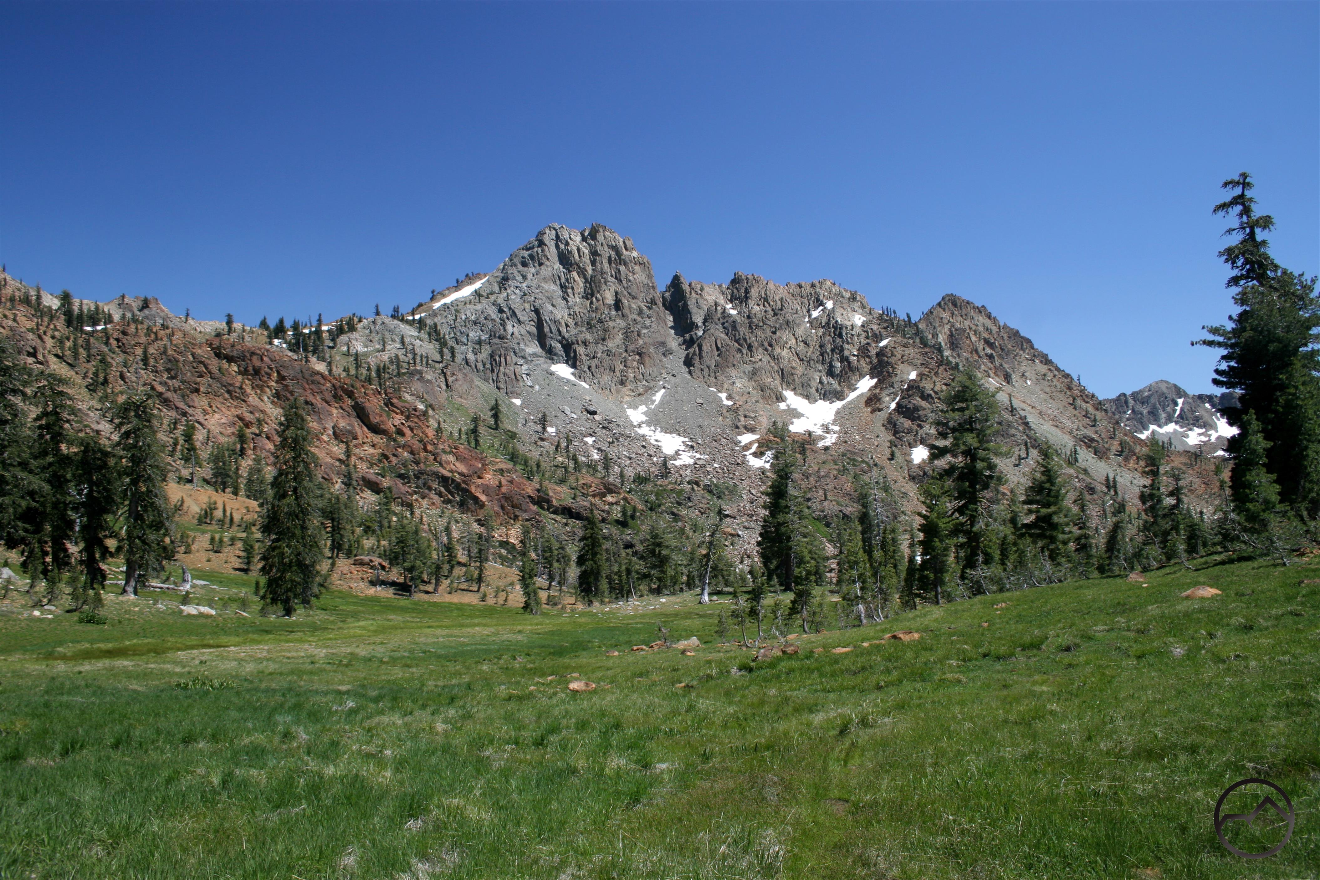
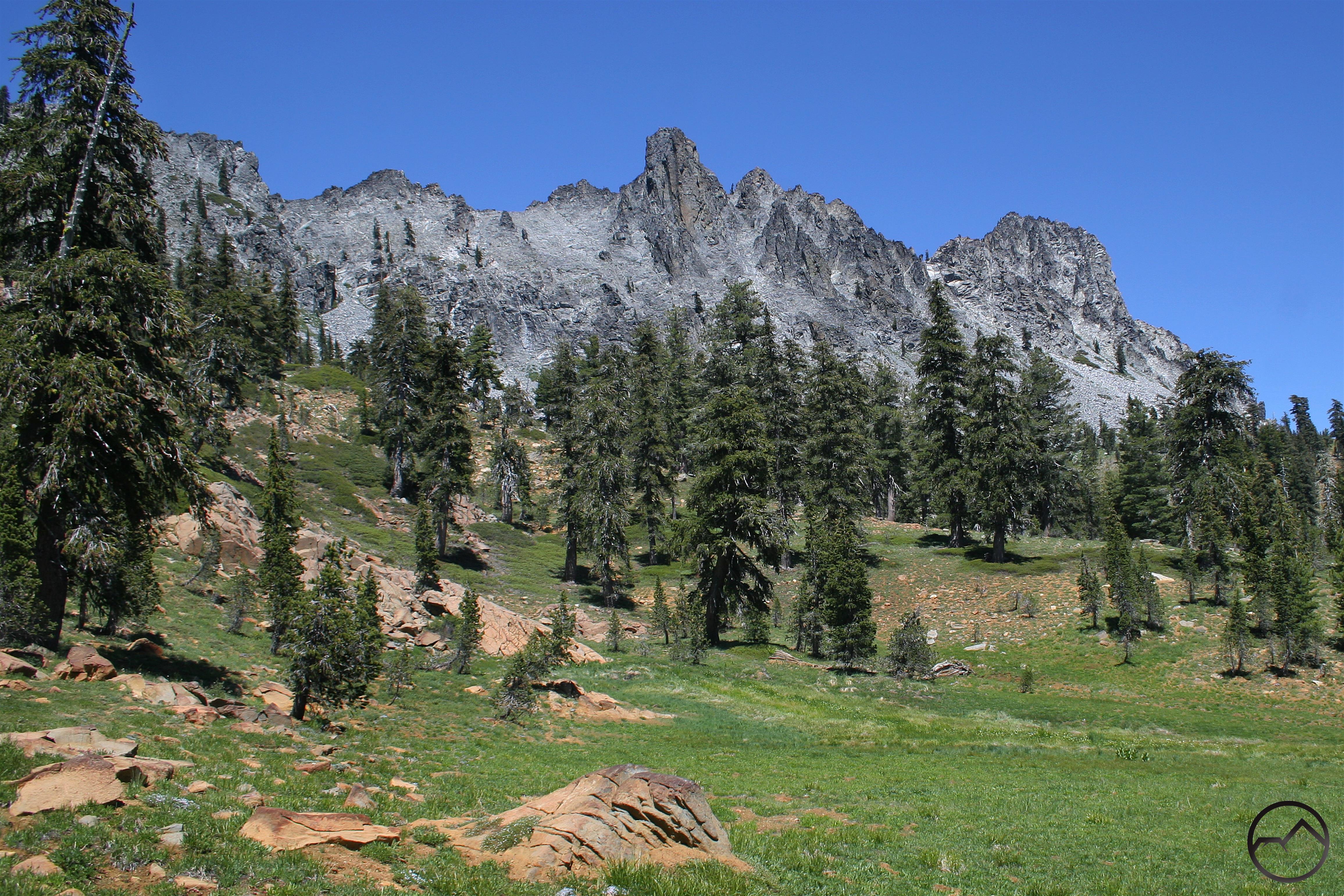
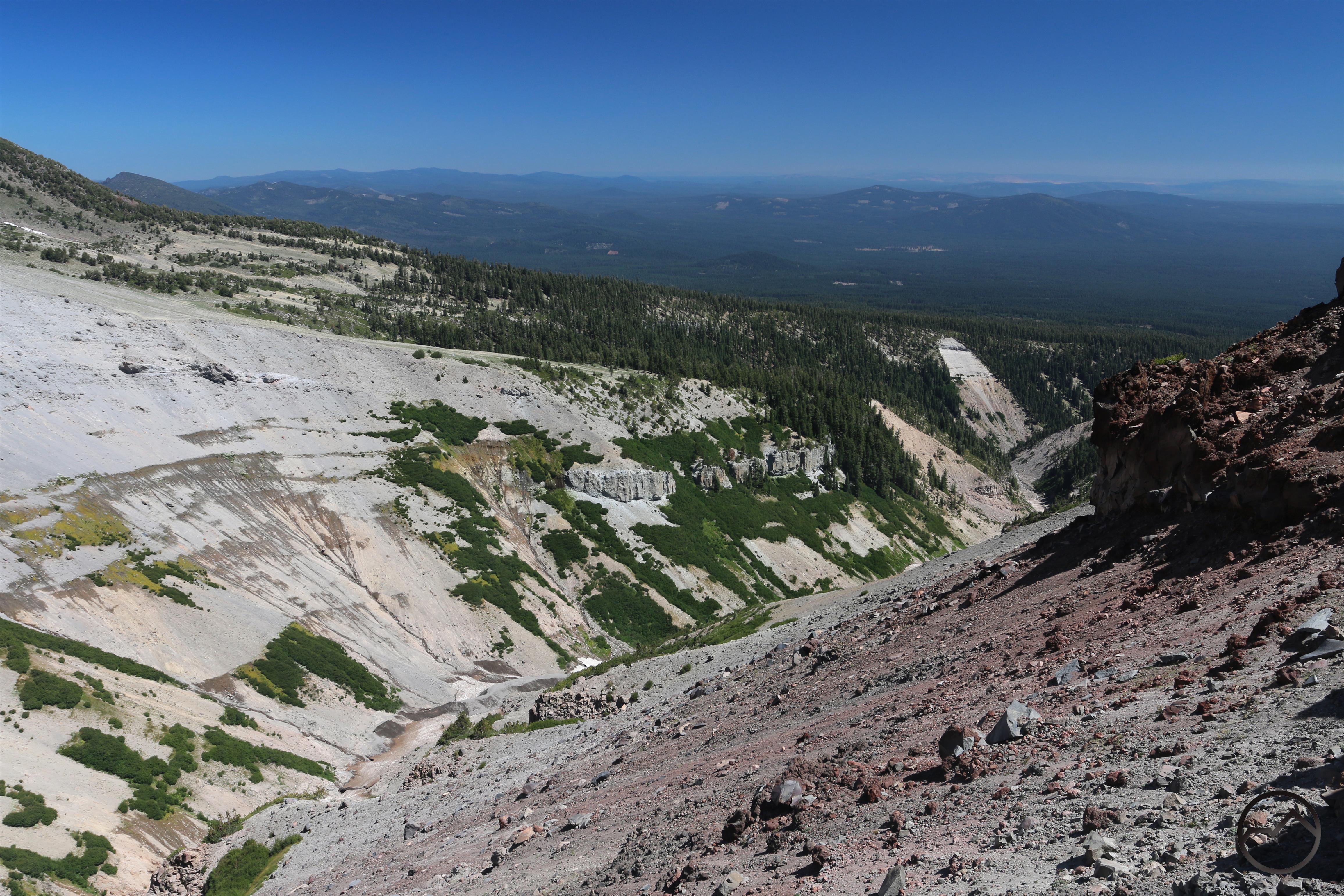
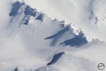
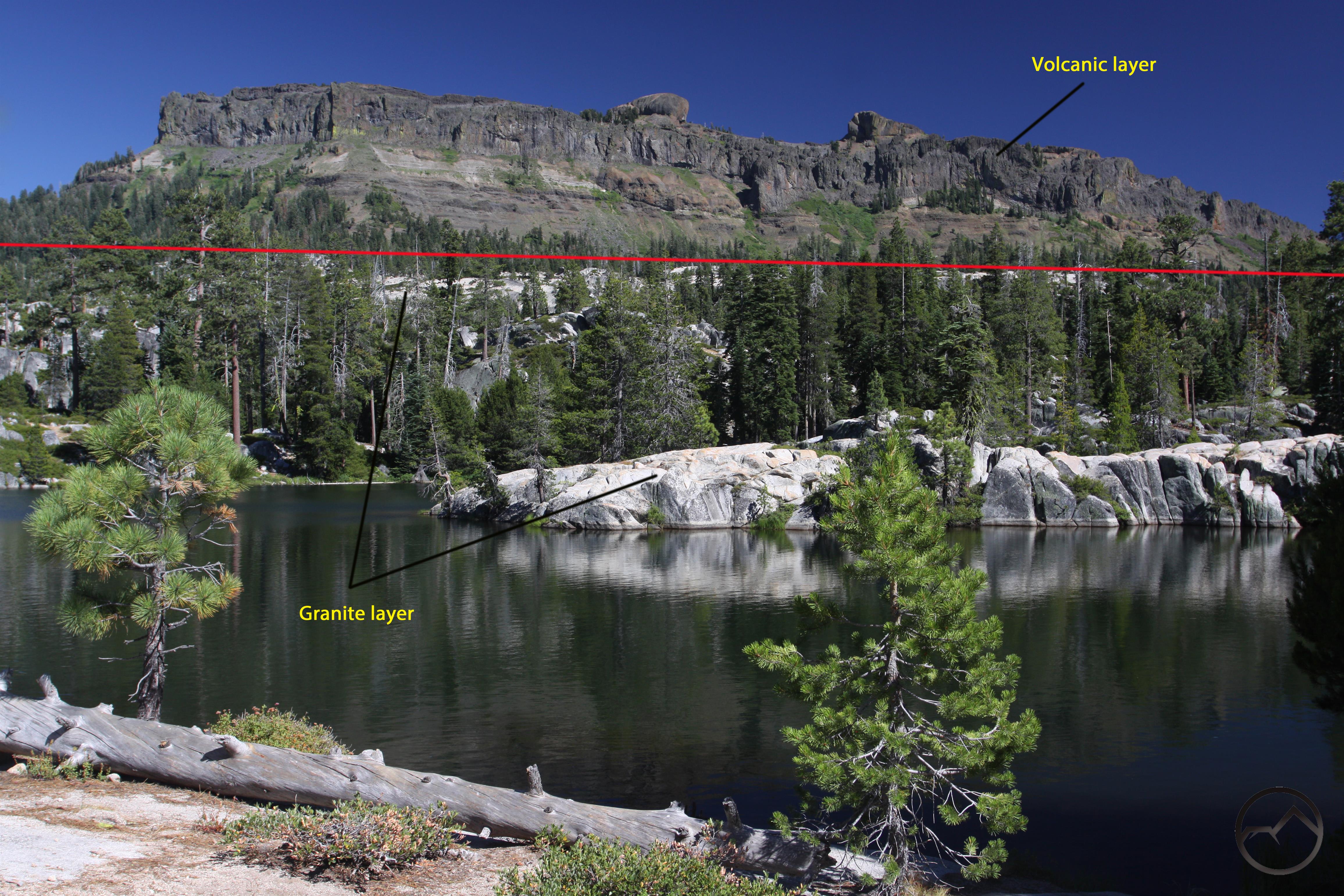
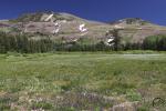
Geologically, at its core, the Central Sierra is a continuation of the large granite pluton that is the defining feature of the Southern Sierra. Granite dominates the high country of the Central Sierra and is nearly ubiquitous. However, over the granite there are several large volcanic mudflows that have been hardened into a cap of dark brown rock. It is not unusual to see dark ramparts and brown peaks sitting like islands above a sea of gleaming white granite. This is the essential appearance of the landscapes of the Central Sierra. Some examples can be seen below:
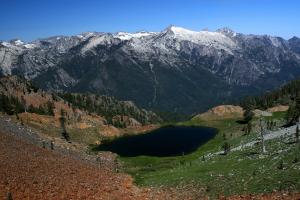
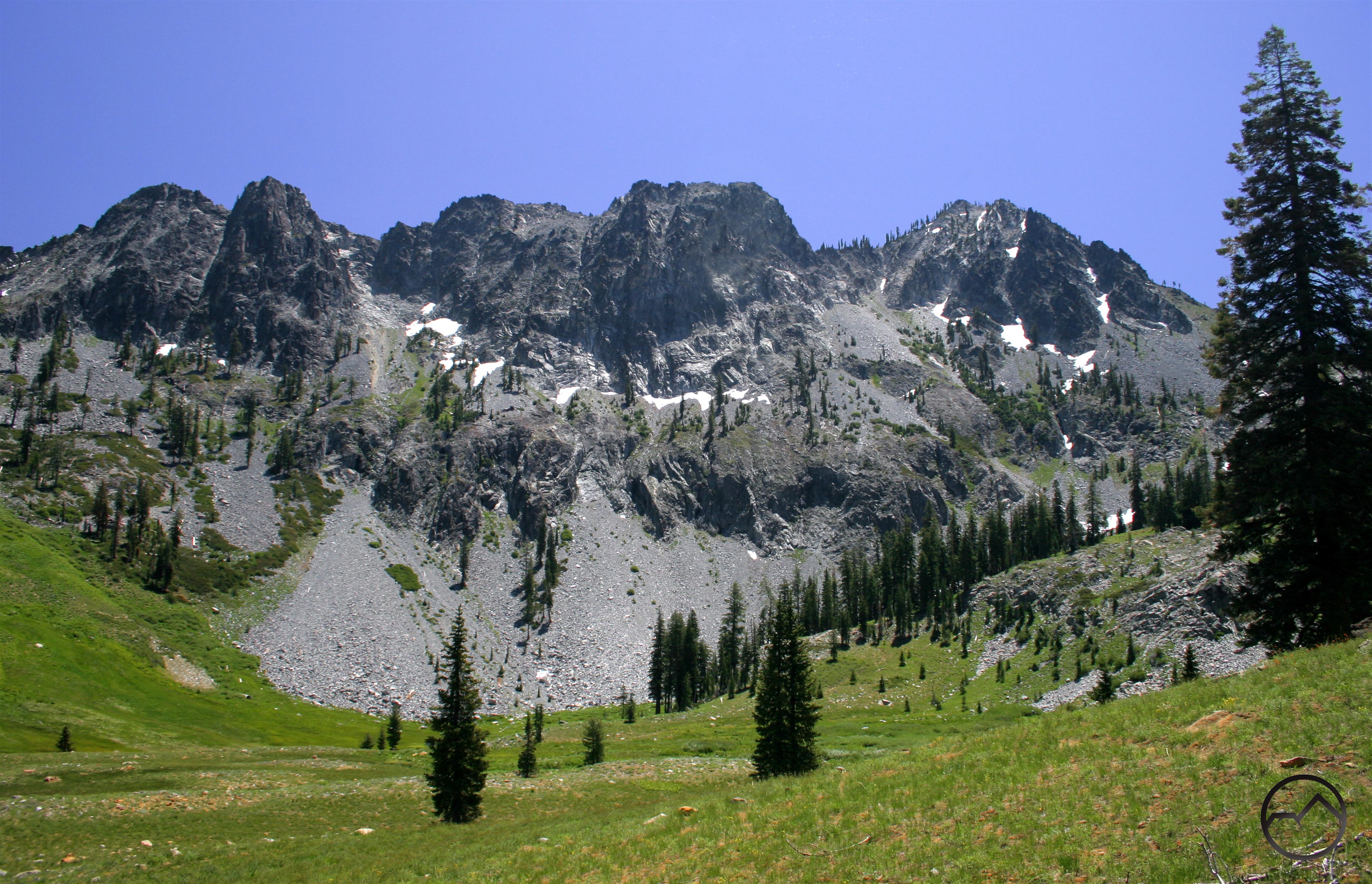
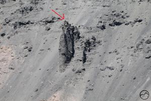
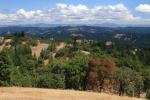
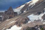
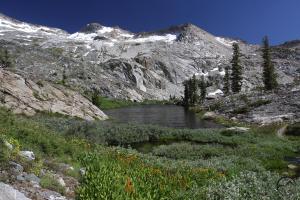
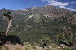
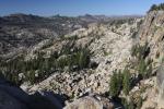
This is a classic example of Central Sierra terrain. The dark walls of the Dardanelles stand on top of the granite that surrounds Sword Lake.
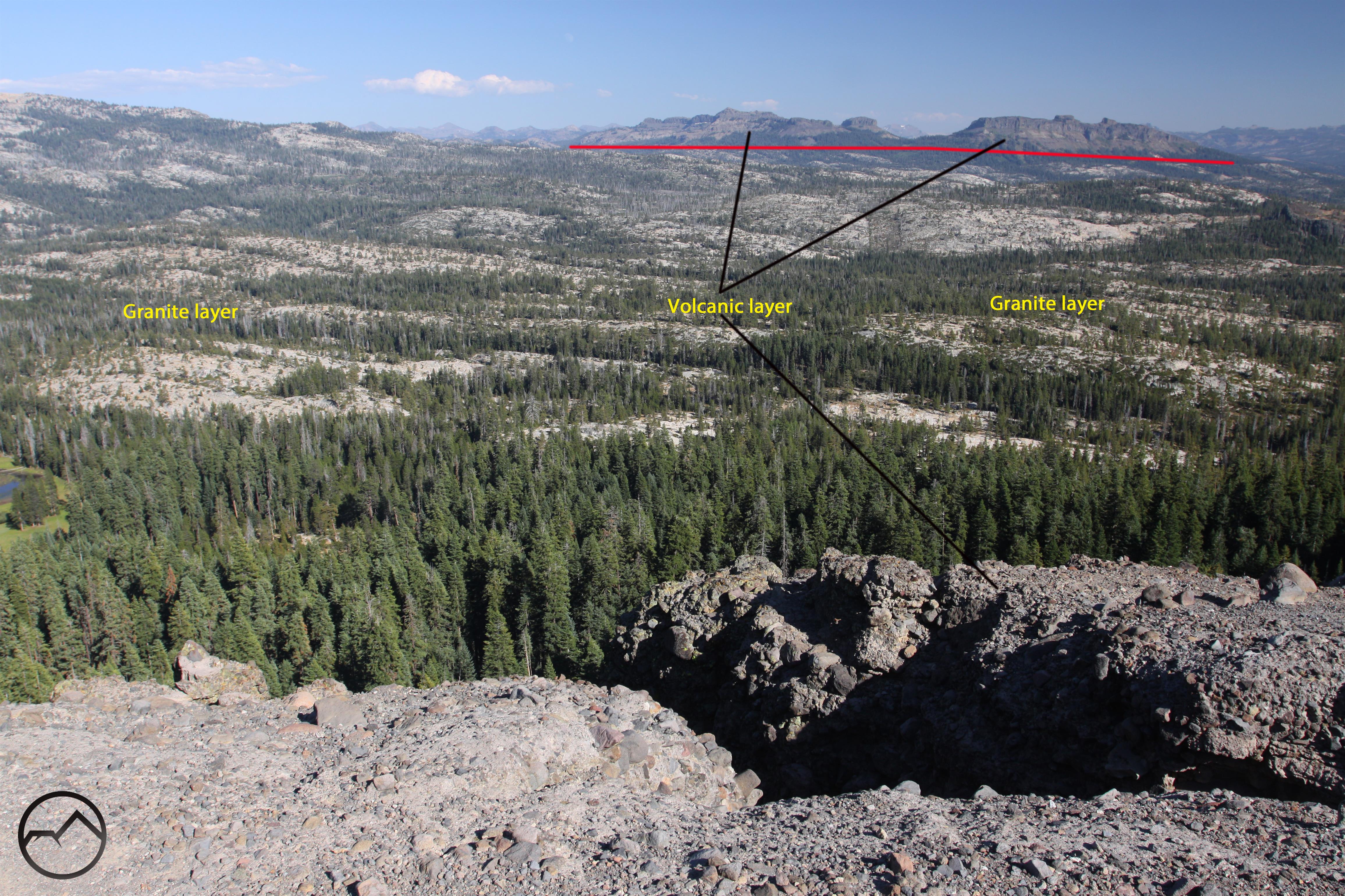
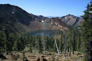
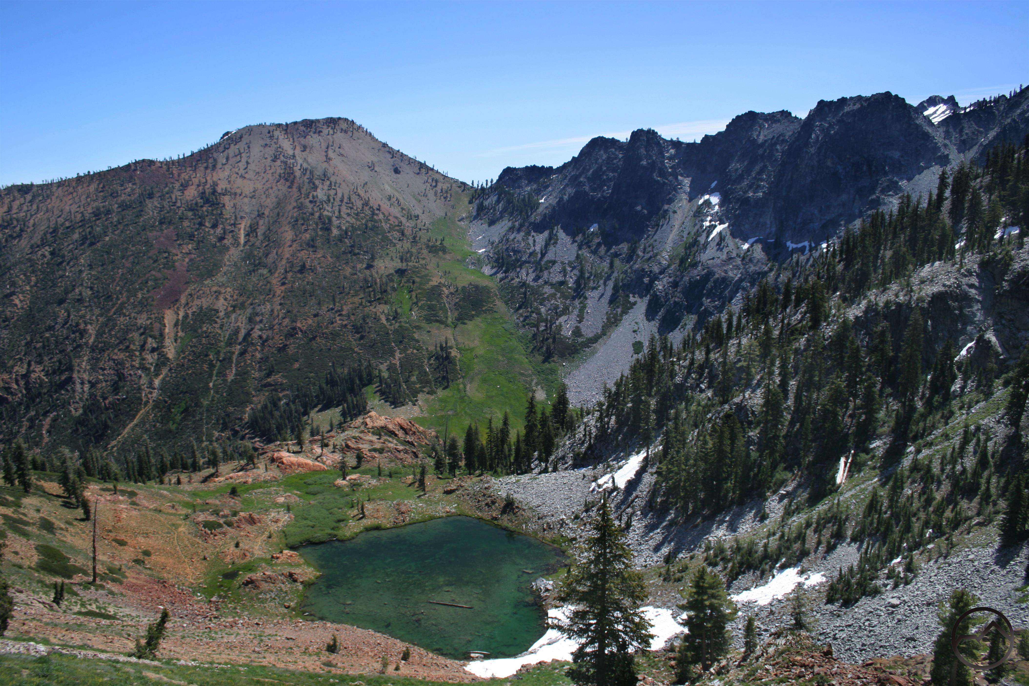
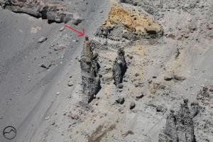
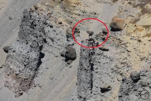
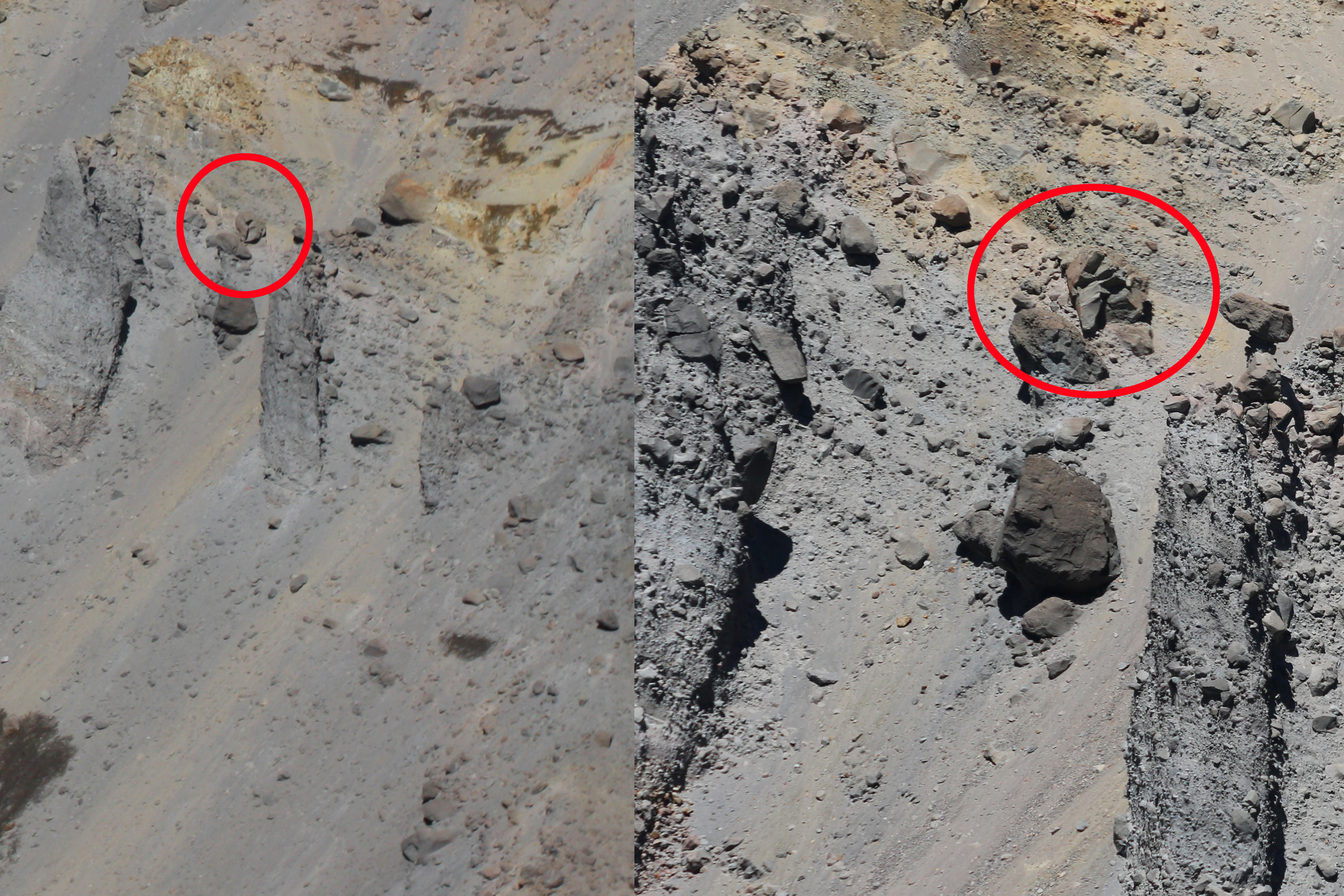
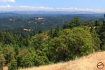
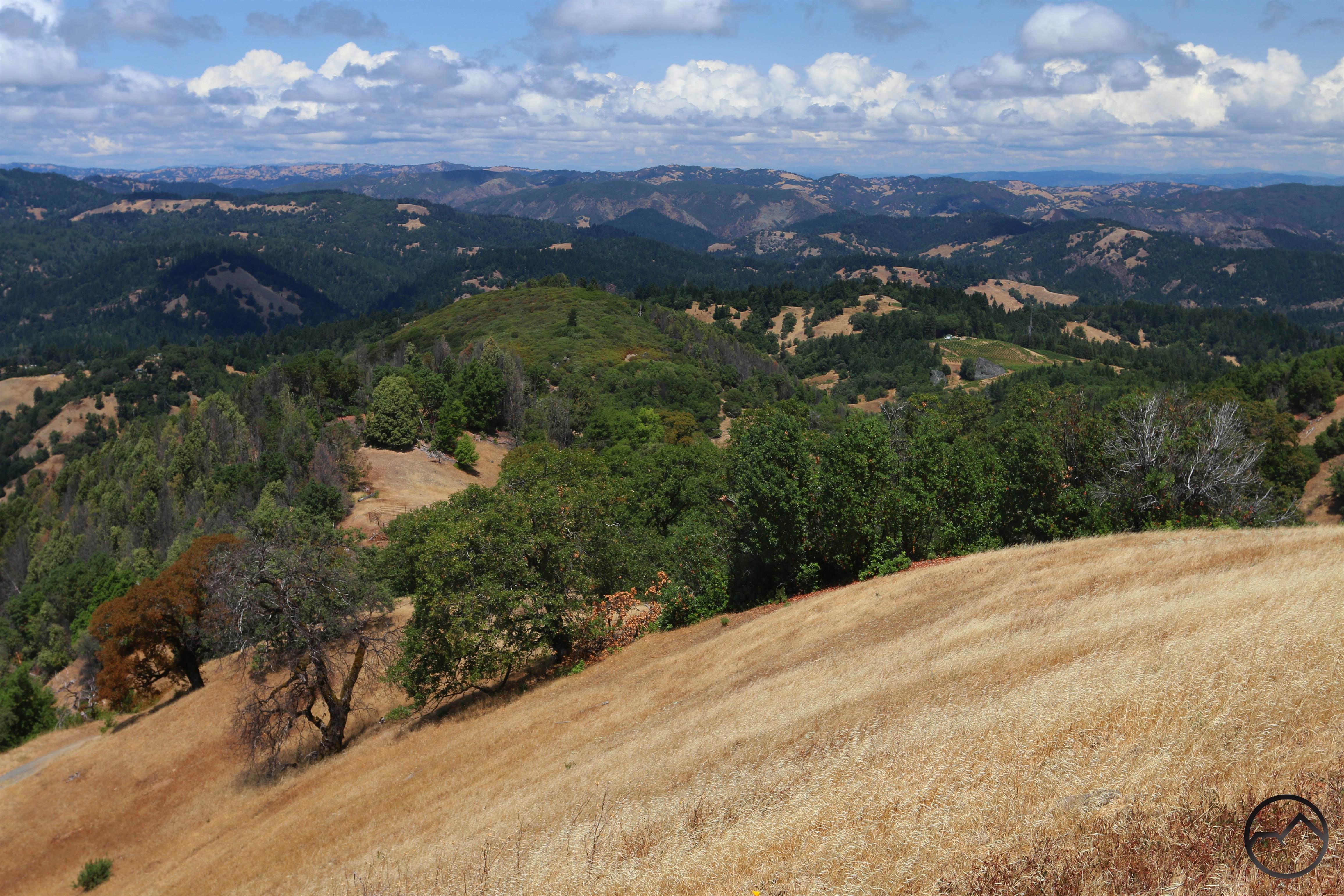
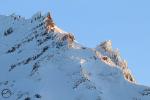
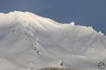
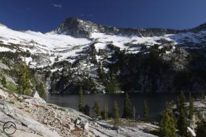
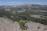
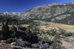
Still looking at the Dardanelles, this time pulled back to see the expanse of granite and the higher mudflow layers that make up the western portion of the Carson-Iceberg Wilderness. The image is taken from Inspiration Point, which is a smaller formation that is similar to the Dardanelles.
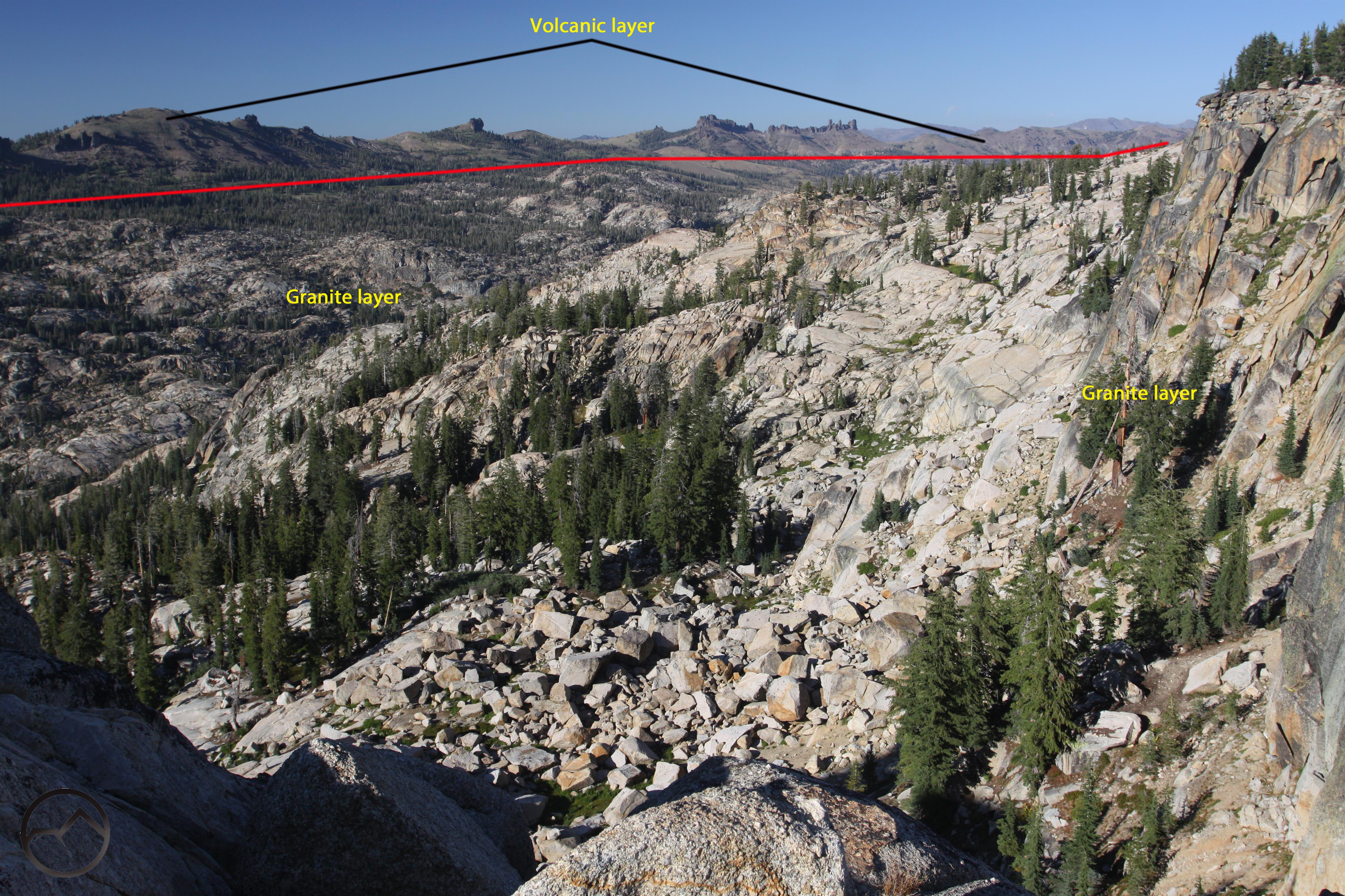
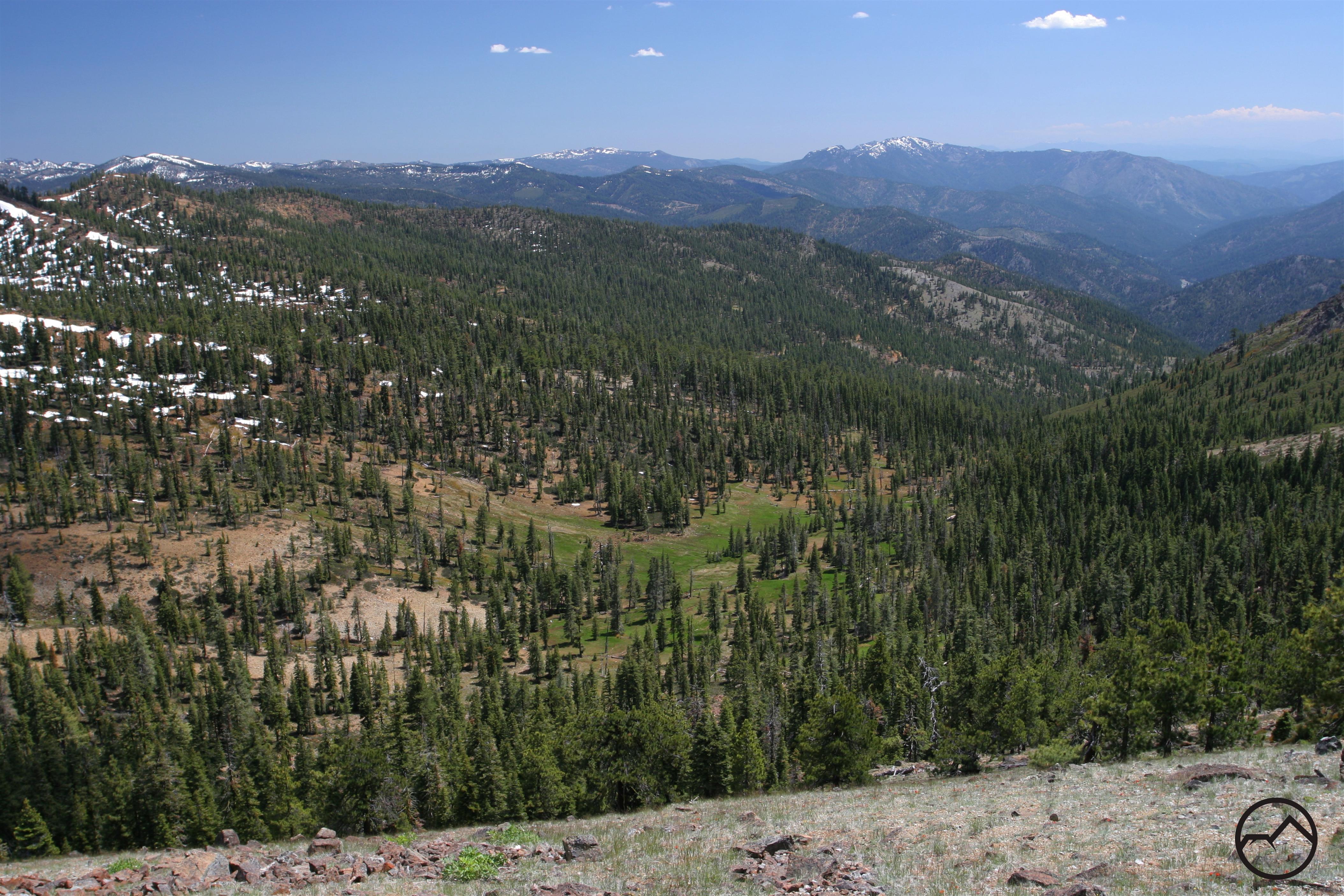
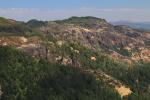
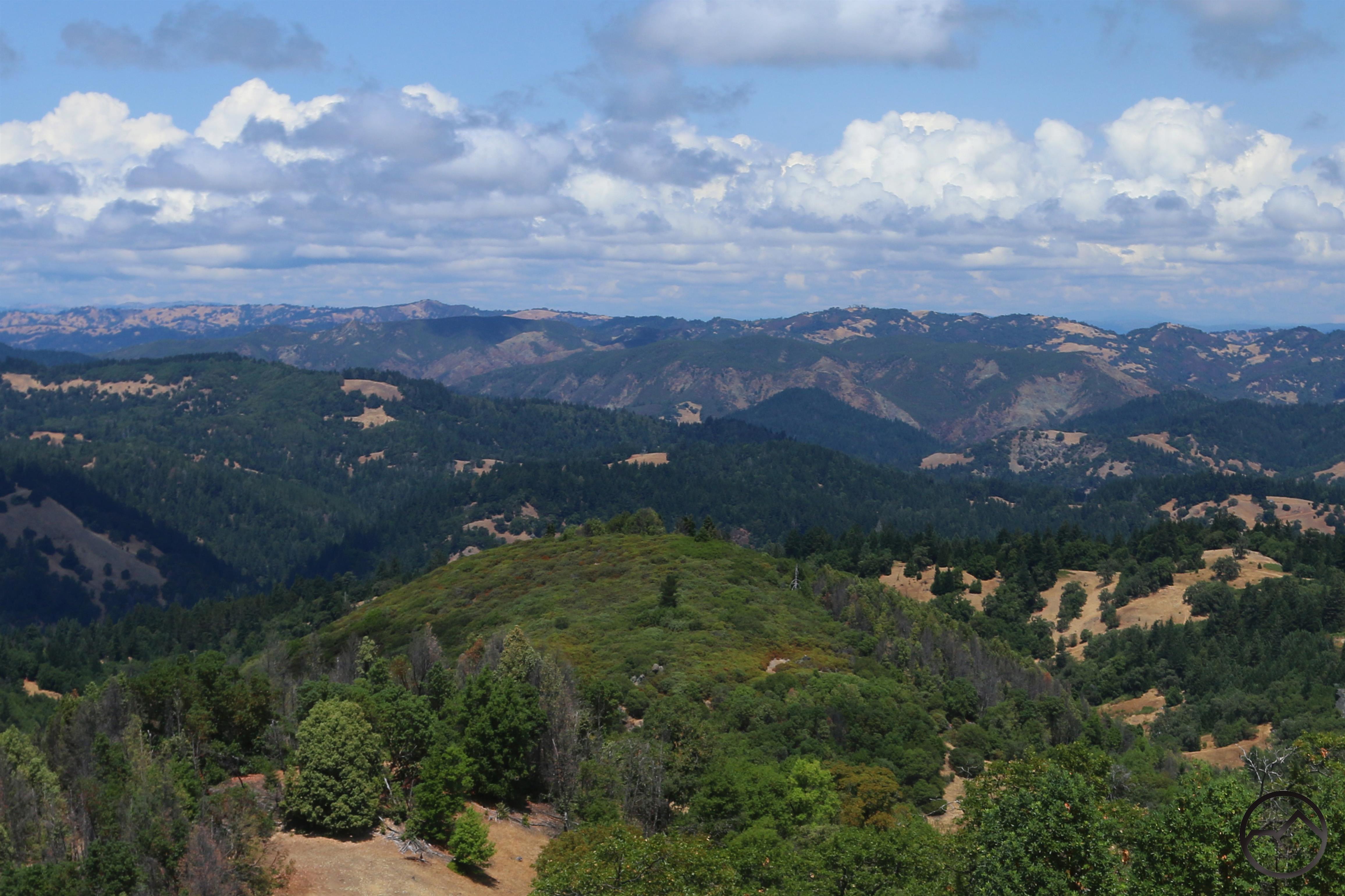
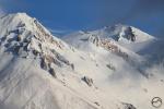
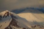
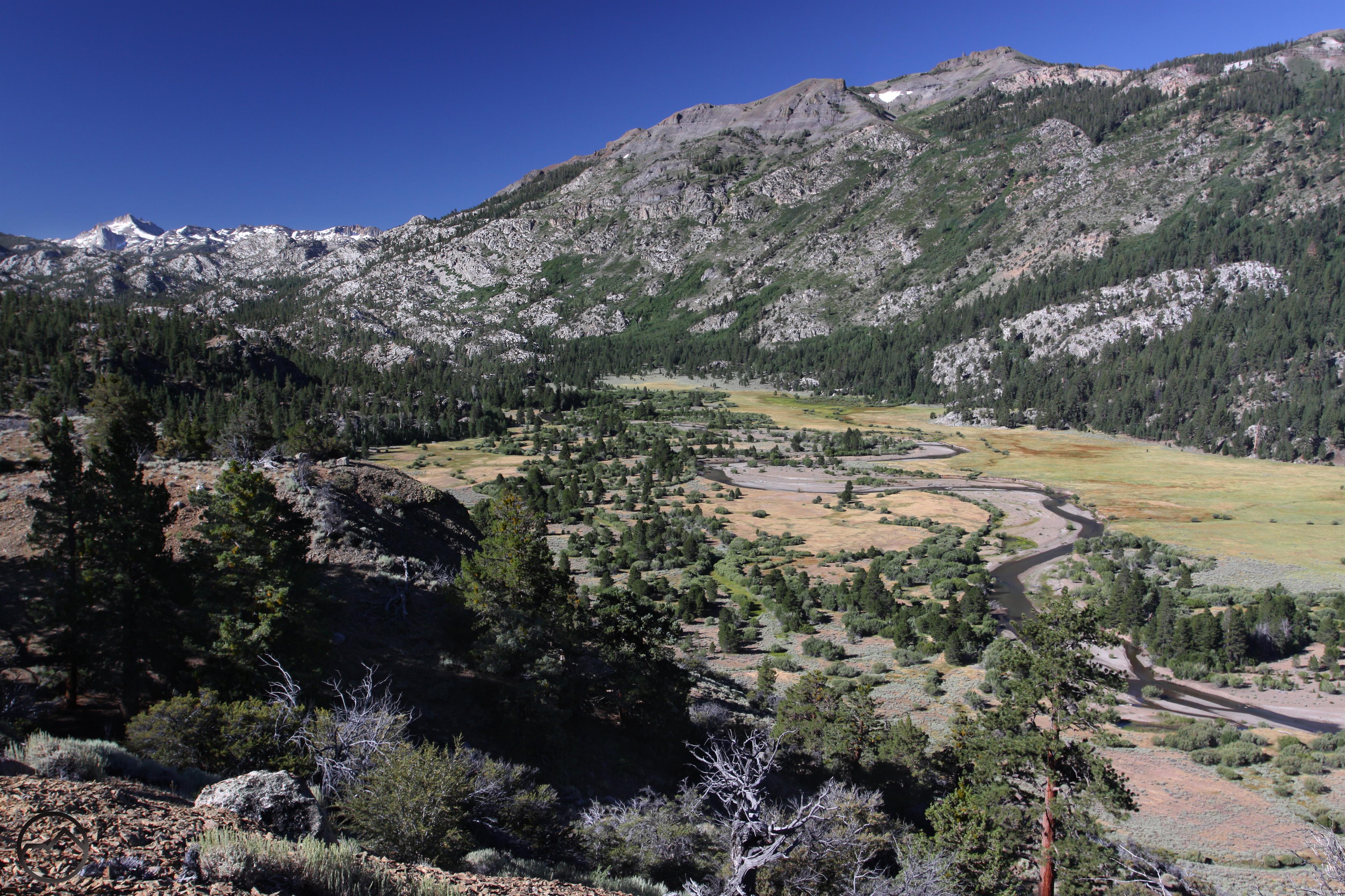
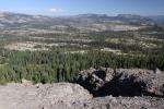
This is the view north from Burst Rock in the Emigrant Wilderness, looking towards Castle Rock and the Chimneys. The entire ridge is composed of volcanic mudlows that have overlain the granite landscape.
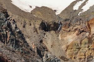
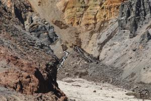
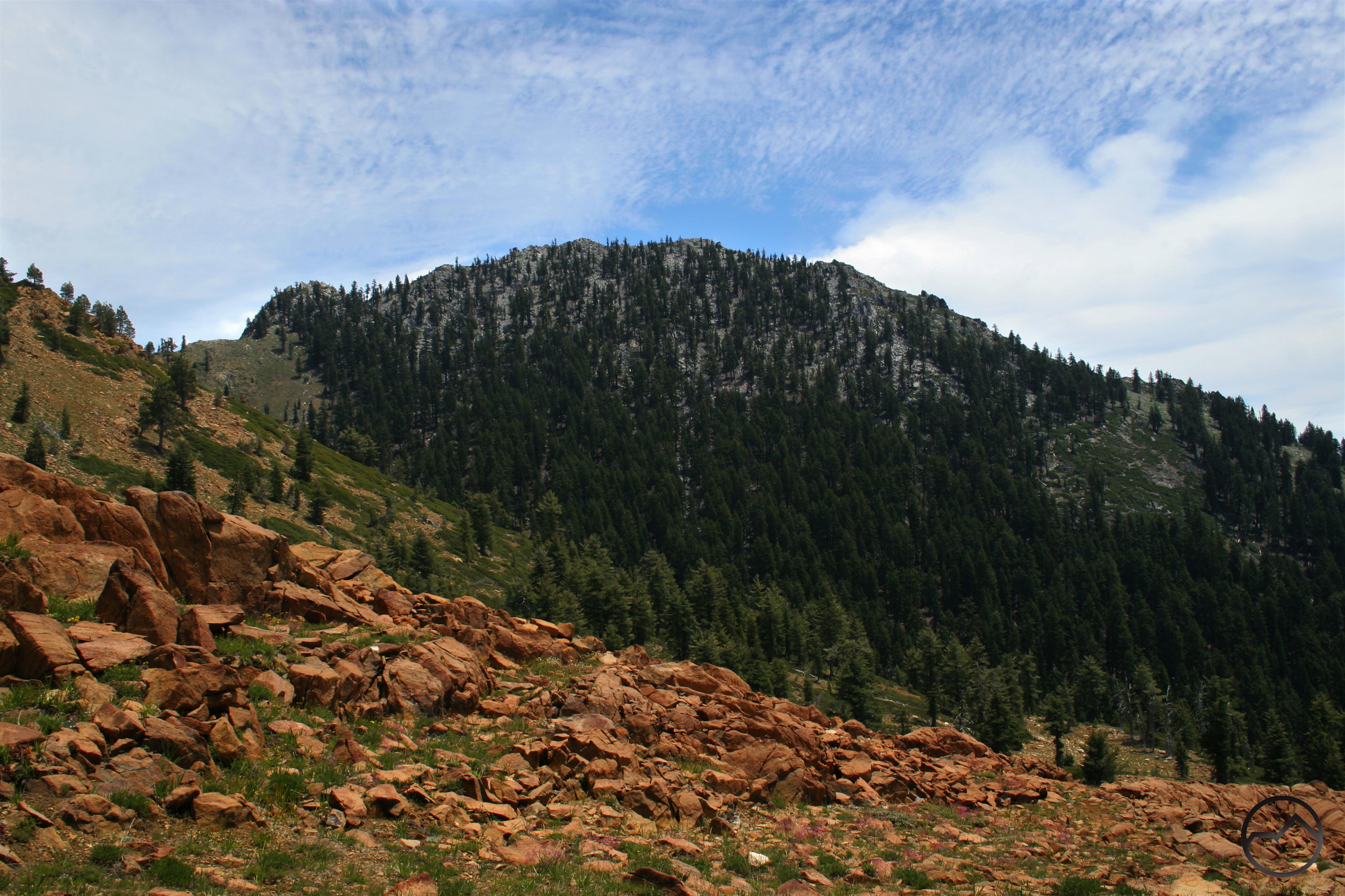
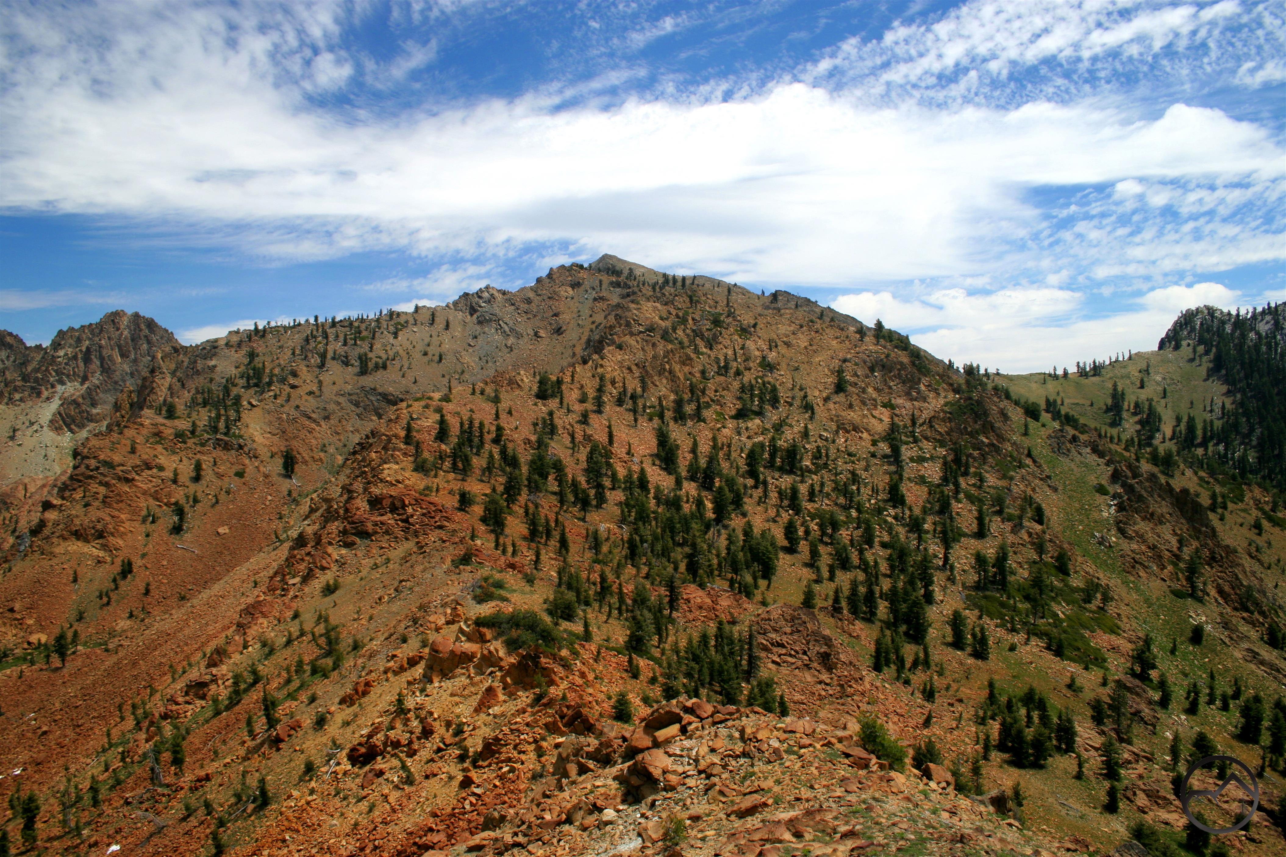
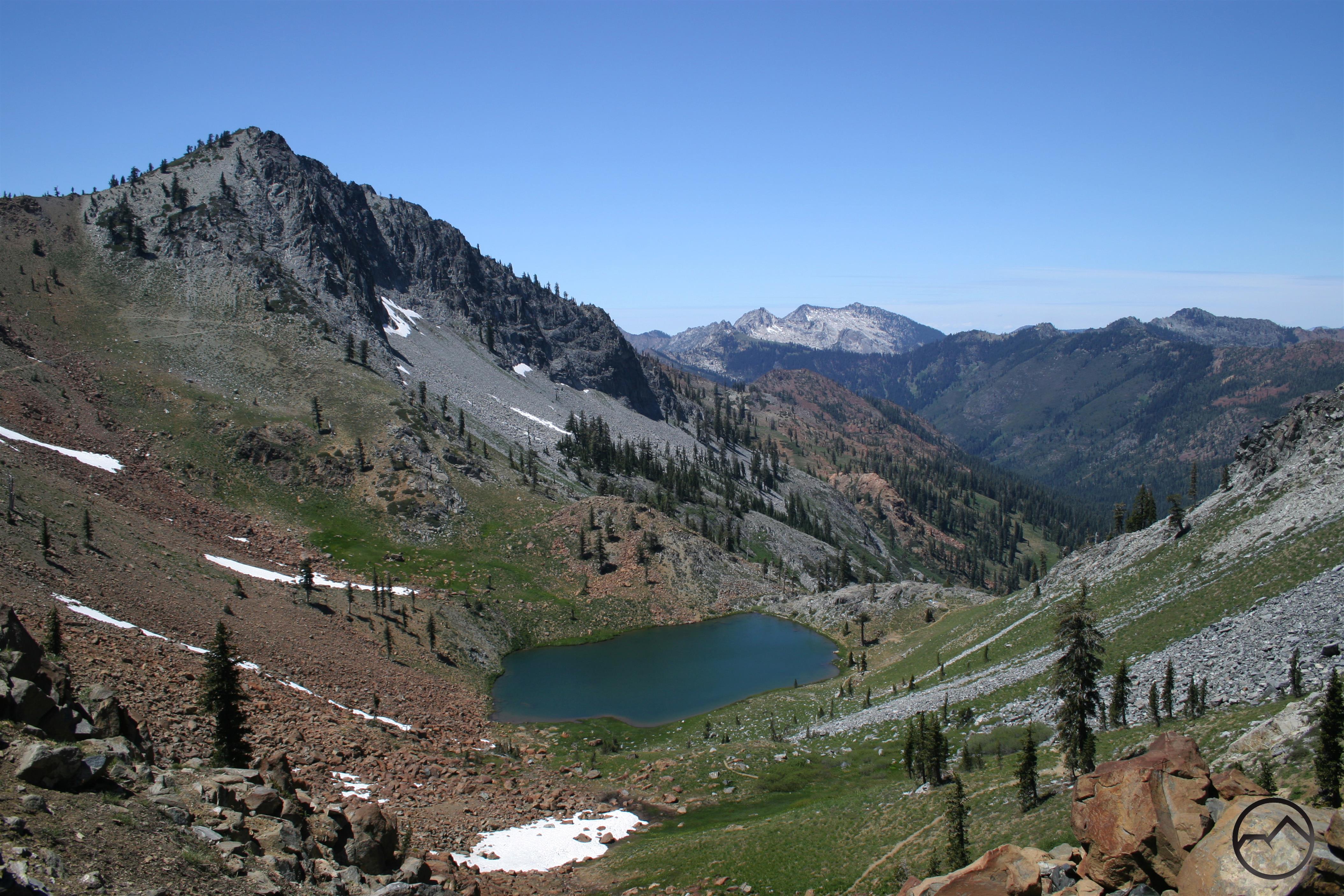
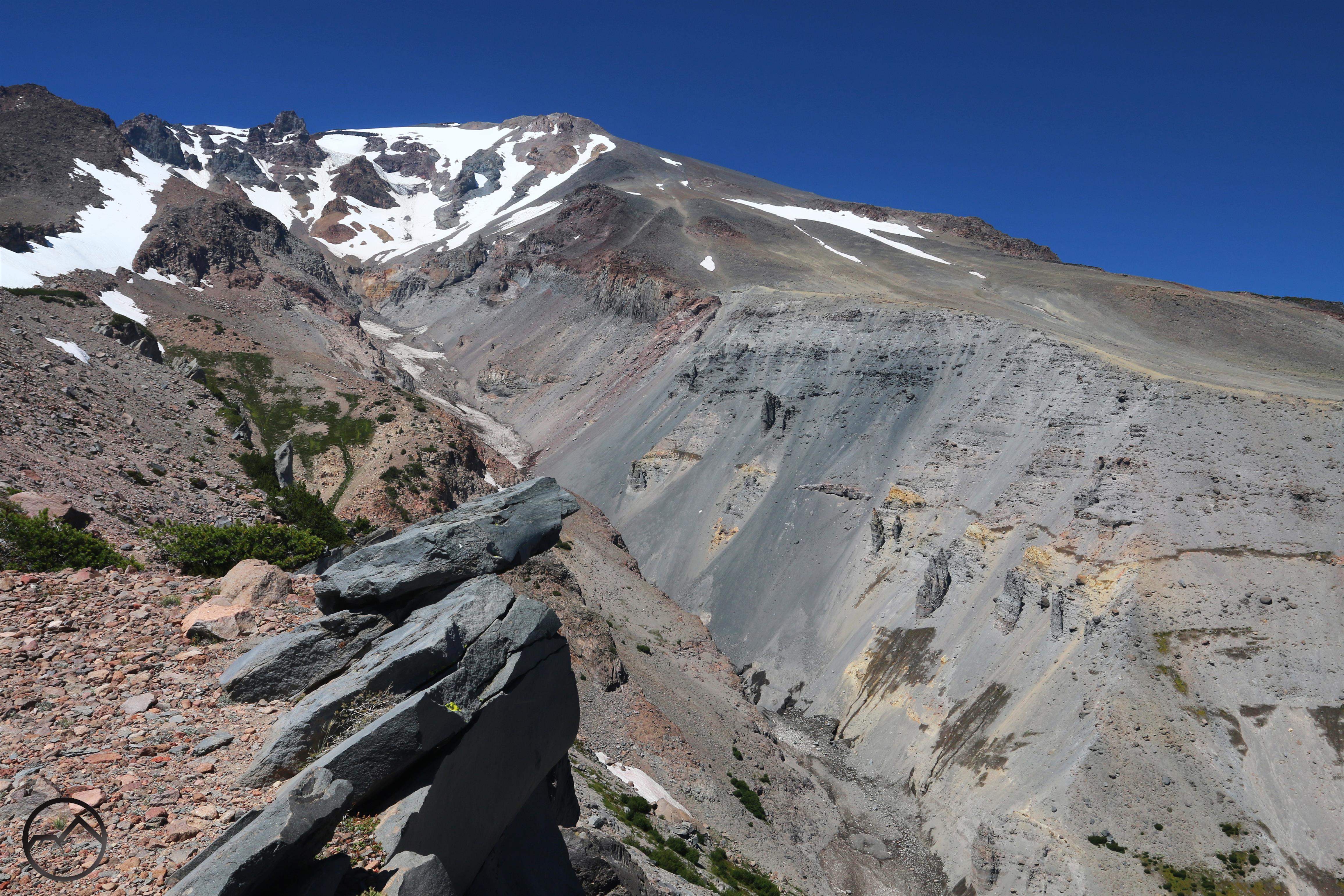
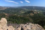
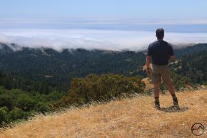
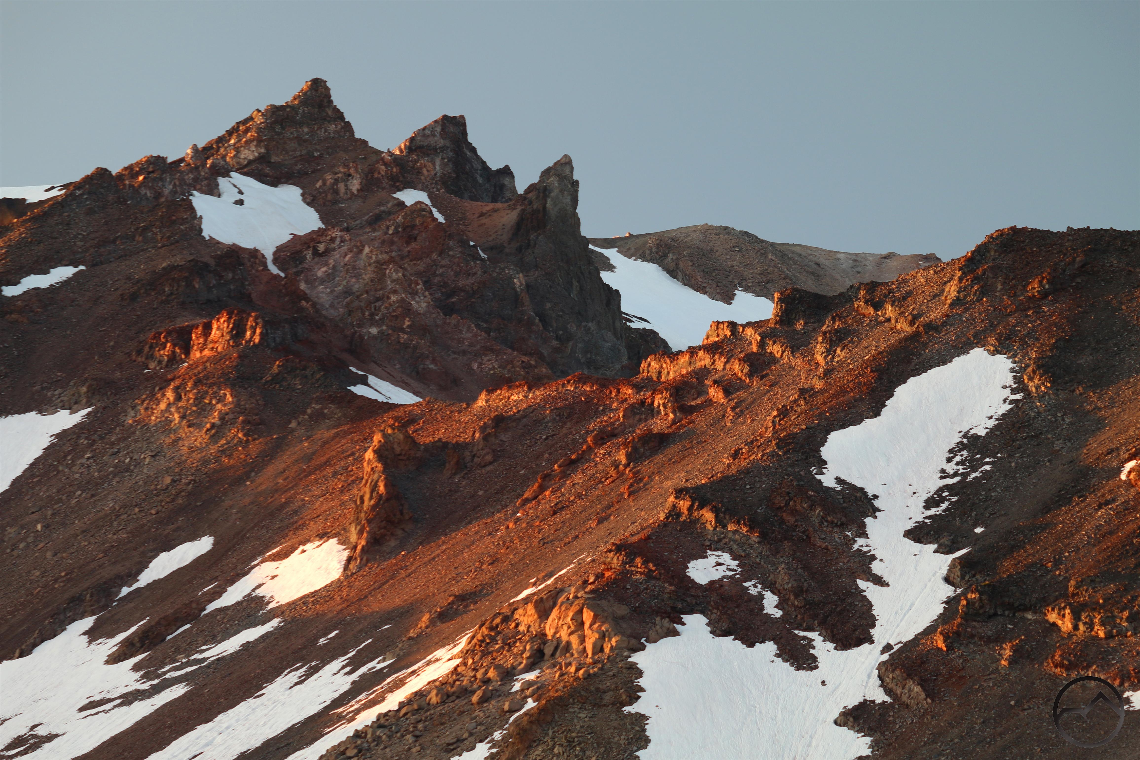
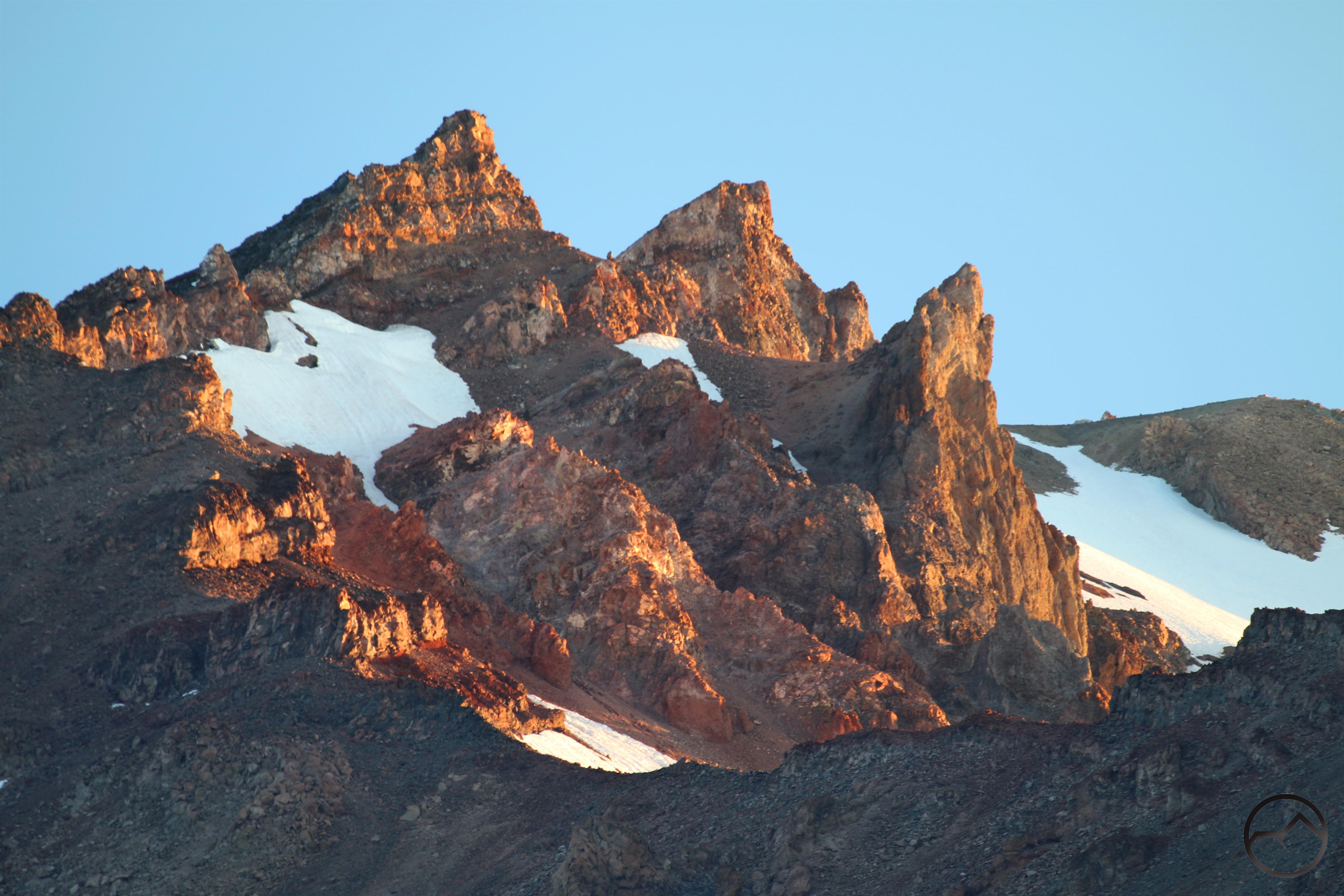
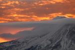
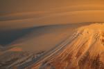
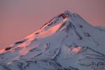
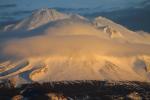
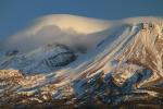
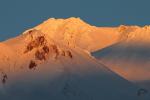
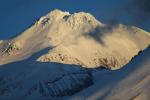
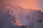
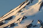
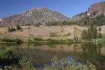
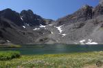
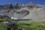
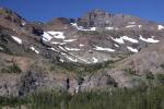
Similar formations are found from the headwaters of the Little Truckee River south of Lake Tahoe all the way to the Emigrant Wilderness, which abuts the northern border of Yosemite. Throughout the entire Central Sierra the dark volcanic mudflows dot the granite landscape. The most dramatic manifestation of this landscape is in the southeastern corner of this region, in the Sonora Pass area. Here the volcanic mudflows have been minimally scoured by glaciers rather than having been ground to pieces by them. Consequently much of the mudflow geology remains intact. Unique to the Sierra Nevada are towering peaks, many exceeding 11,000 feet, rise high above lakes in dramatic glacial cirques. Yet even in the midst of this intact mudflow landscape, the granite core is exposed in areas and the mudflow formations are still visible above it. Some examples:

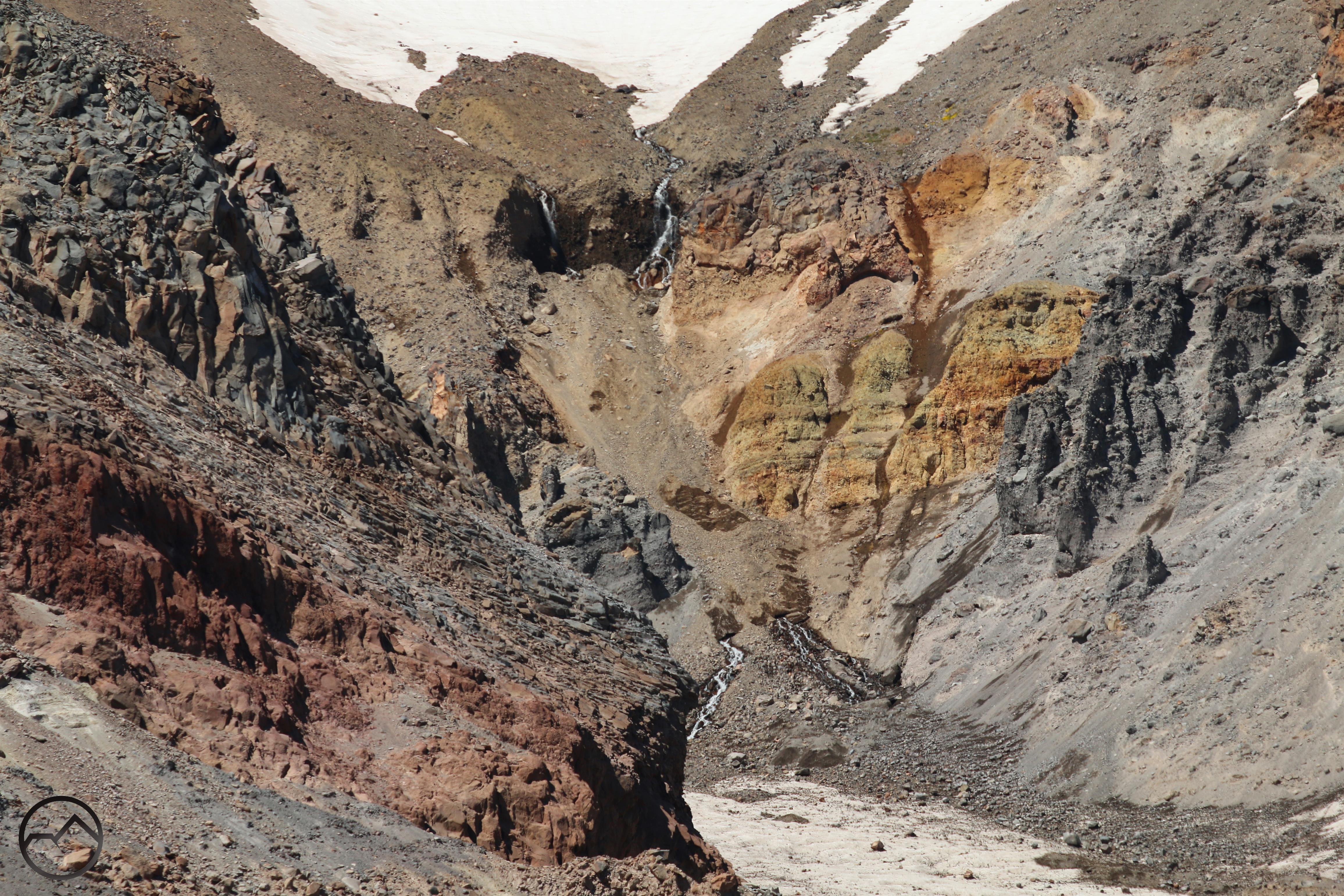
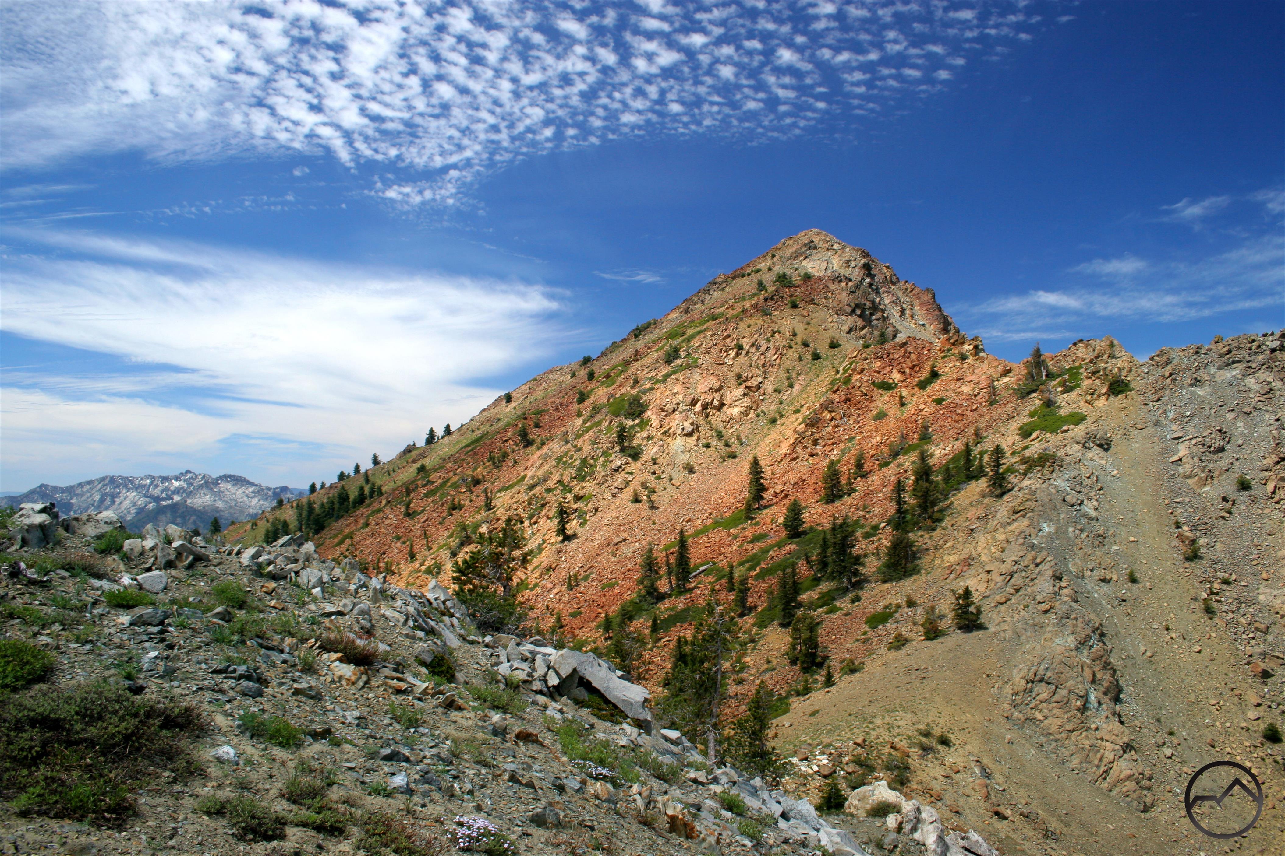
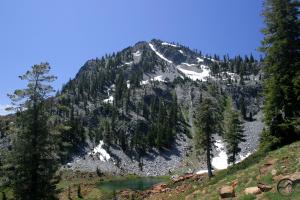
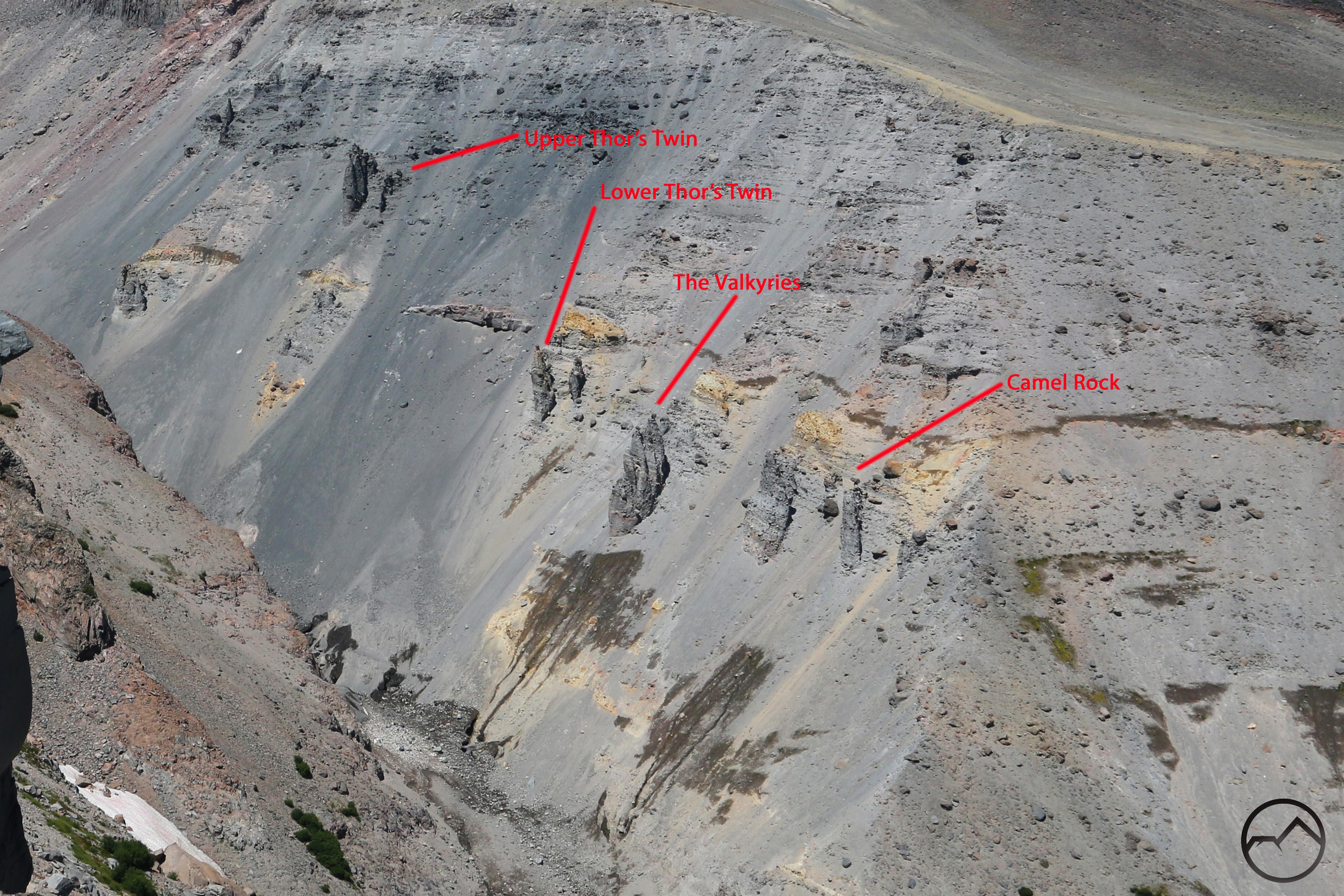
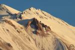
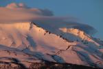
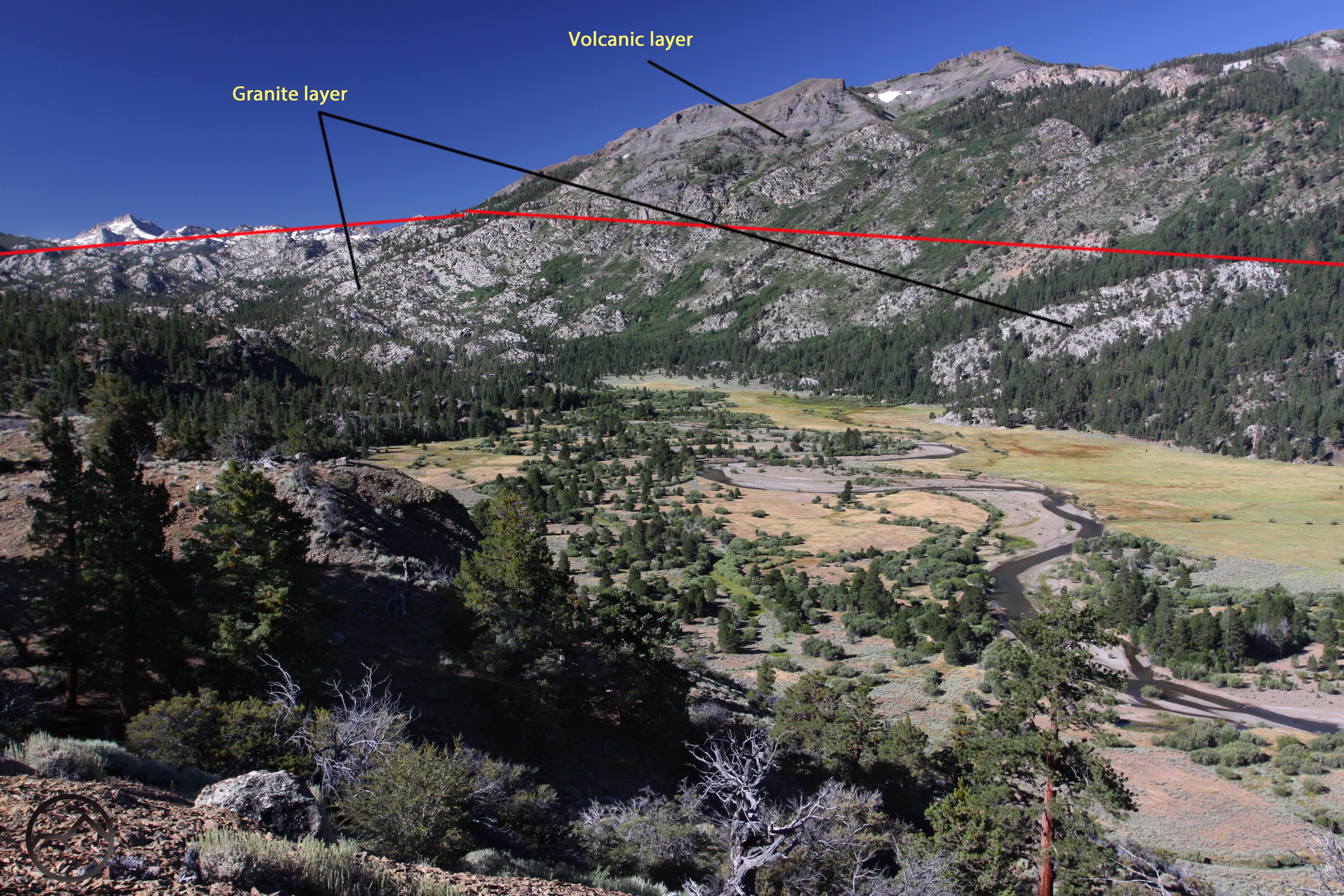
Here in Blue Canyon, which is located just west of Sonora Pass, the light granite layer is briefly visible beneath the dark rocks of Sonora Peak.
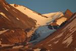
At the very edge of Central Sierra, the West Walker River has carved out a profile view of the granite beneath the mudflow layer. In some areas the mudflow has been washed away completely, with only the granite remaining.
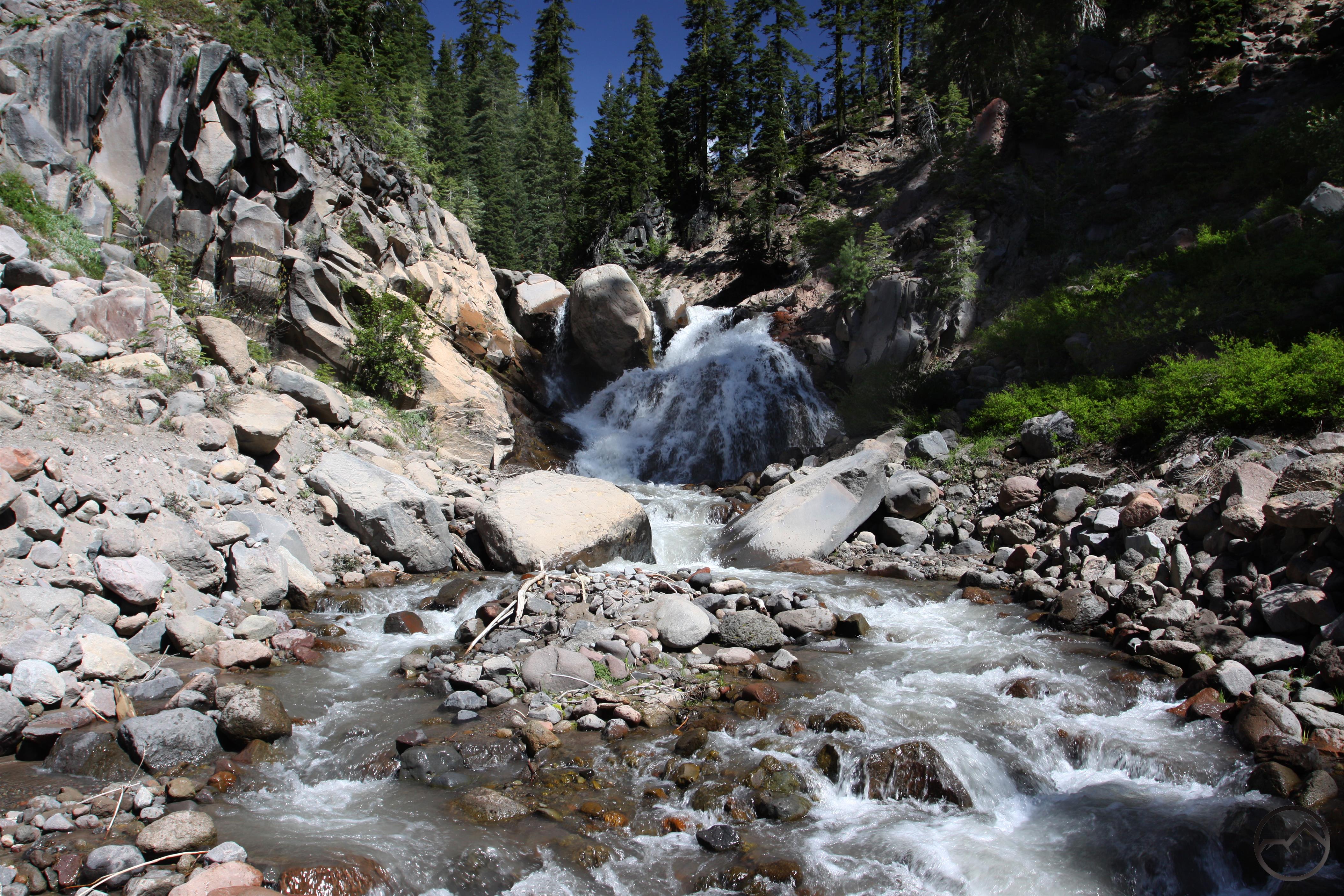
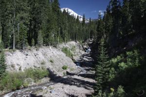
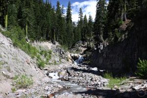
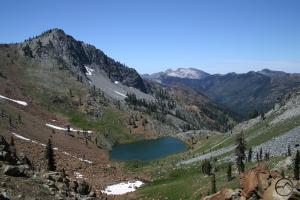
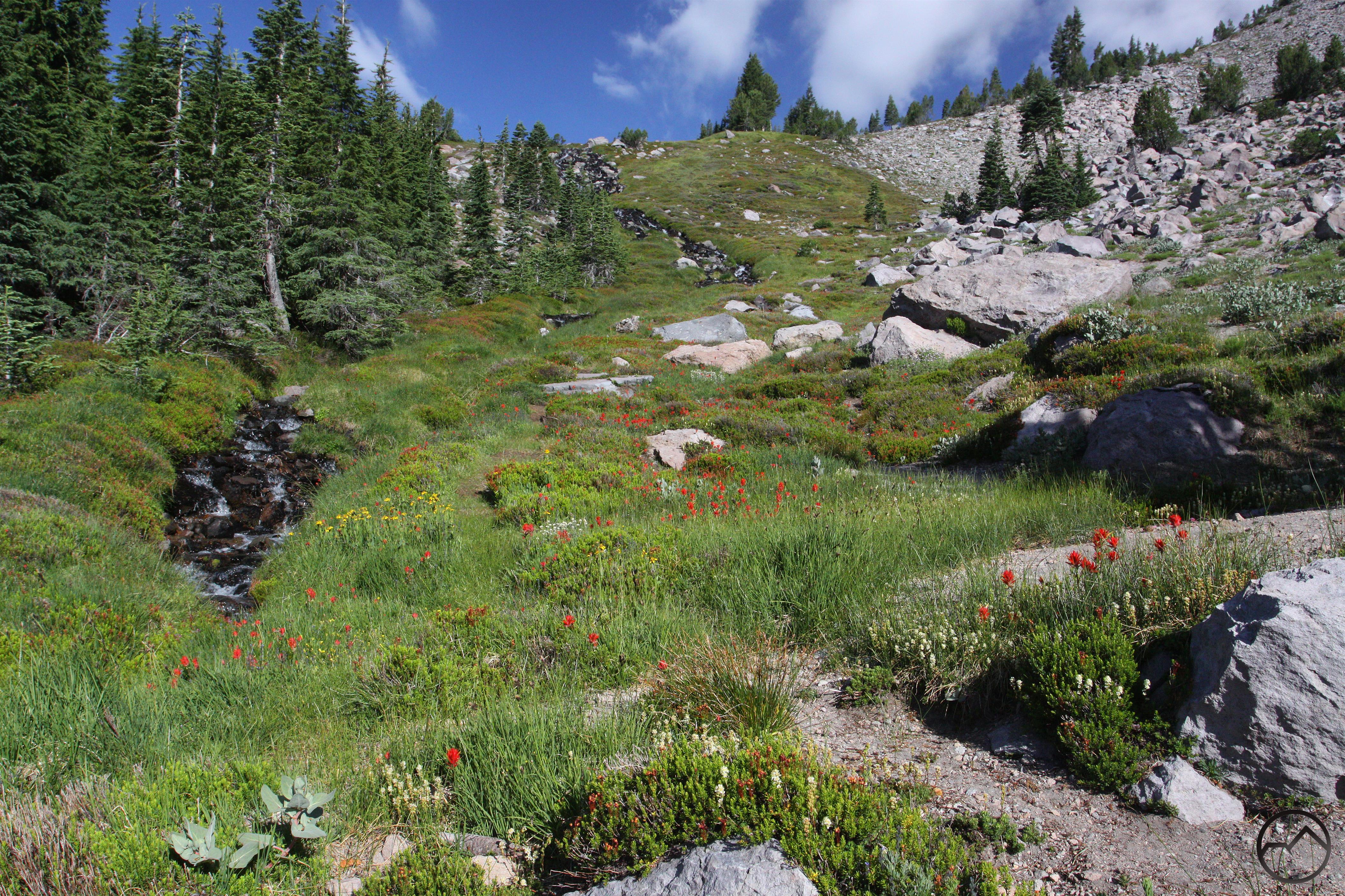
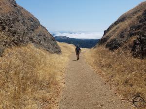
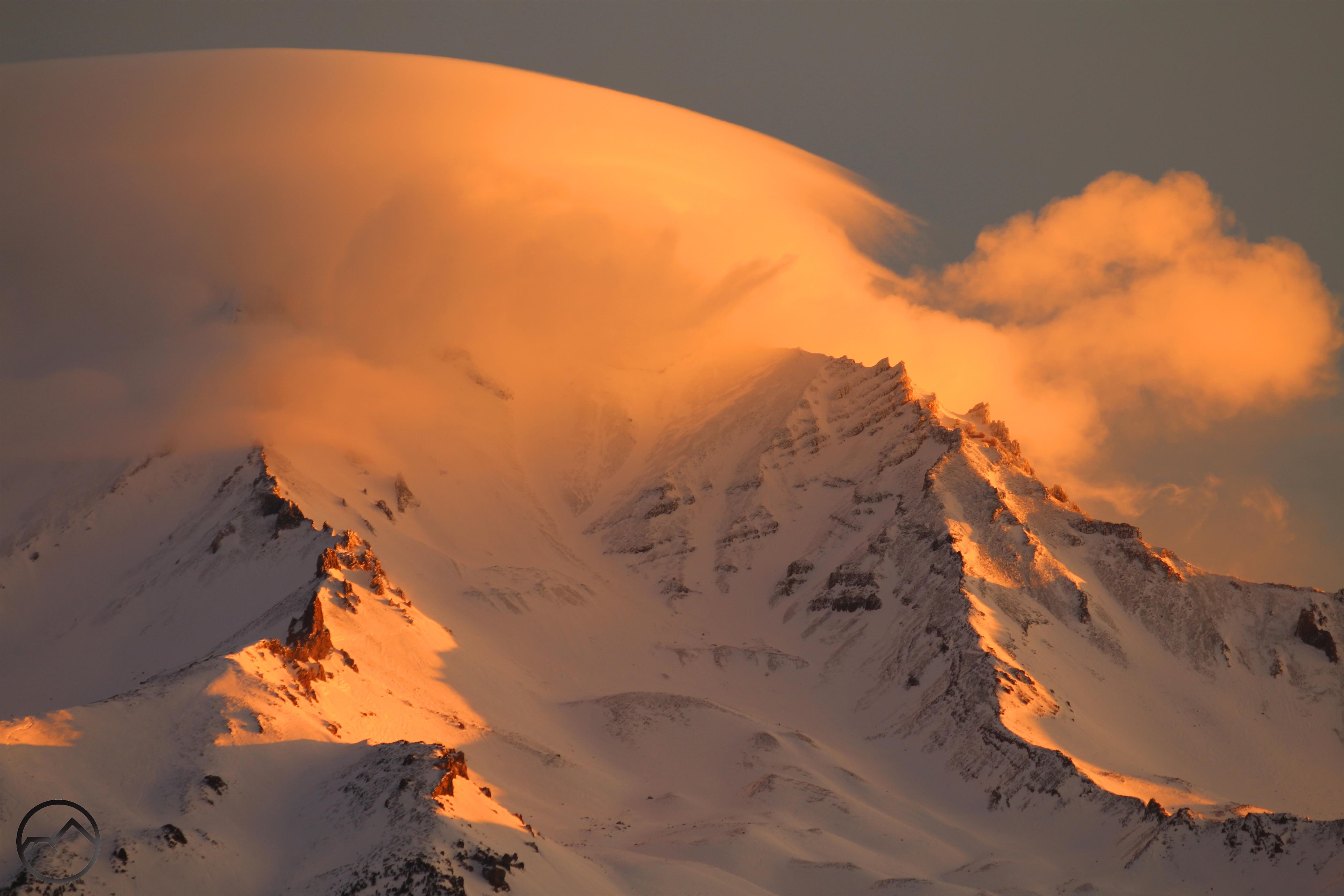
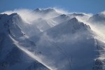
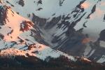
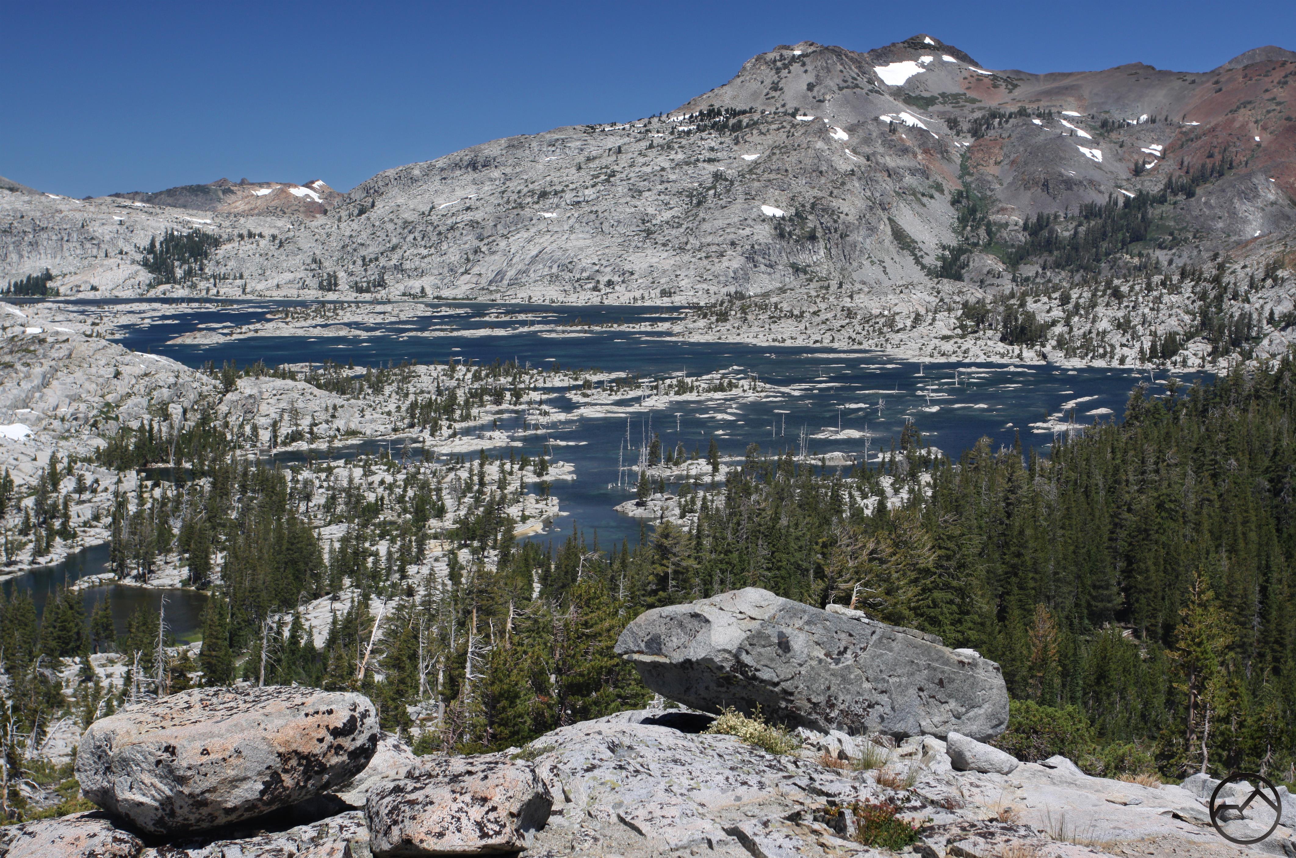
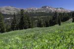
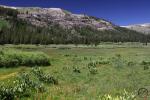
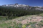
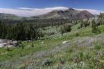
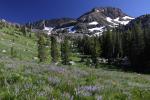
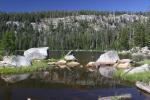
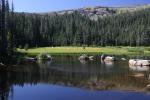
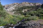
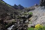
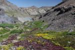
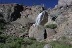
Hiking and exploring the Central Sierra is a great delight. Trails are abundant but see far fewer visitors than other parts of the Sierra Nevada. Some areas, like the Carson Pass area do get a fair amount of pressure but the Ebbets and Sonora Pass areas are far less busy and it is easy to disappear into untraveled country. The Pacific Crest Trail winds through the region and the sections through the high mudflow peaks as well as the Meiss Meadows are particularly memorable sections. Lakes are numerous and peaks abundant. The fascinating geology adds a unique flare that distinguishes the area from the rest of the Sierra Nevada and gives it its own, distinct character. Hikers who venture into this region will not be disappointed.
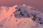
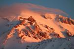
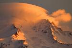
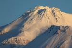
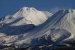
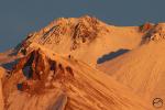
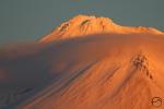
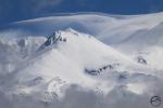
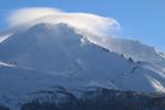
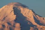
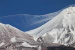
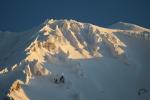
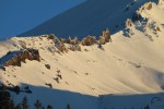
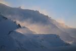
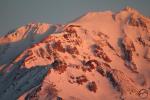
Central Sierra Gallery (north to south)
Click to enlarge:
-
- Dardanelles Roadless Area
-

- Dardanelles Roadless Area
-
- Dardanelles Roadless Area
-
- Dardanelles Roadless Area
-
- Dardanelles Roadless Area
-
- Dardanelles Roadless Area
-
- Mokelmune Wilderness
-
- Mokelmune Wilderness
-
- Mokelmune Wilderness
-
- Mokelmune Wilderness
-
- Ebbets Pass
-
- Ebbets Pass
-
- Carson-Iceberg Wilderness
-
- Carson-Iceberg Wilderness
-

- Carson-Iceberg Wilderness
-
- Emigrant Wilderness
-
- Emigrant Wilderness
-
- Emigrant Wilderness
-
- Emigrant Wilderness
-
- Emigrant Wilderness
-
- Emigrant Wilderness
-
- Sonora Pass
-
- Sonora Pass
-
- Sonora Pass