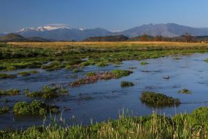
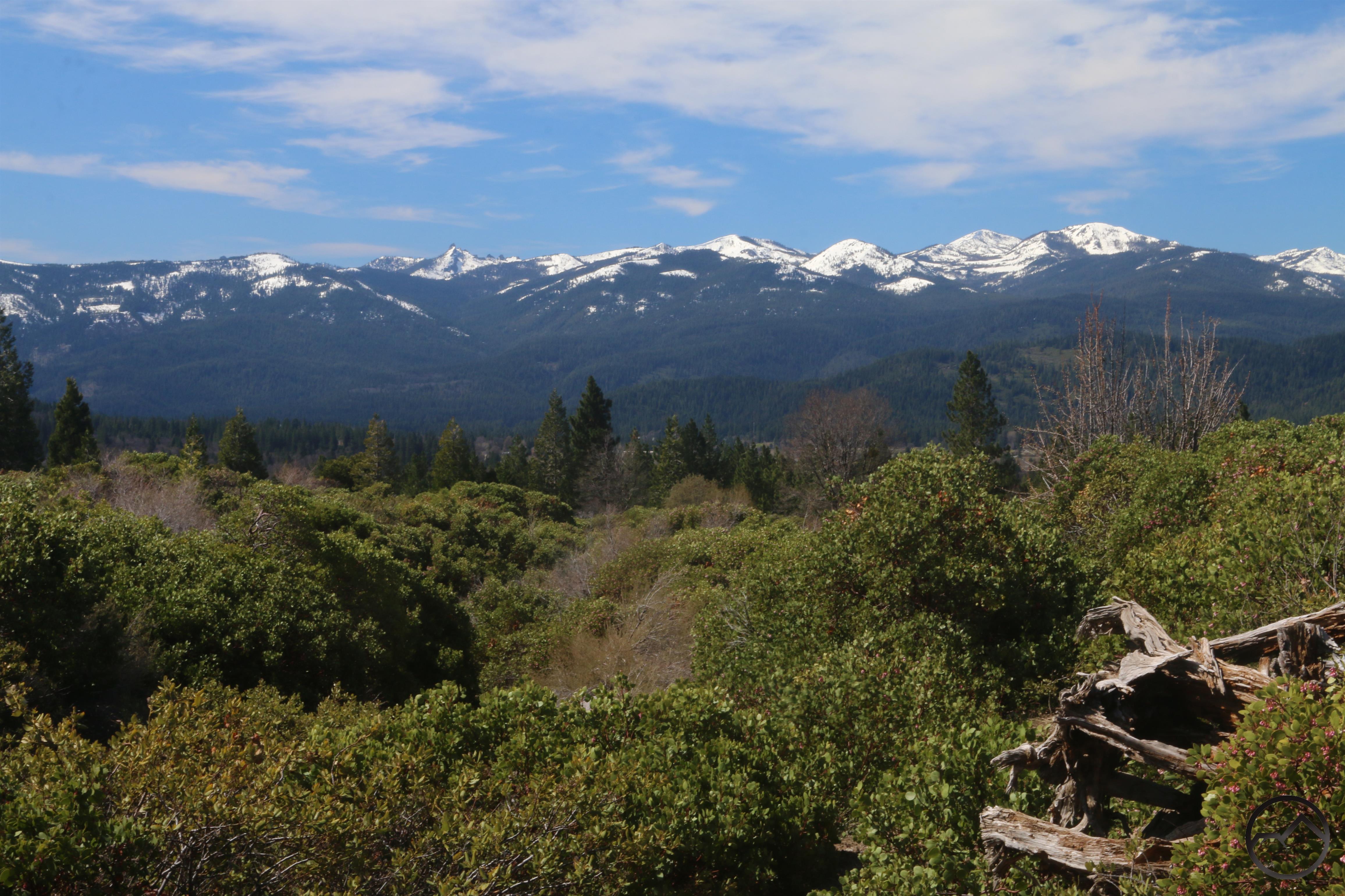
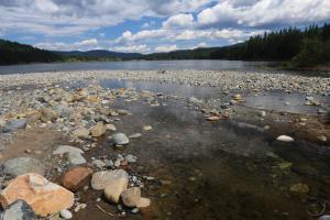
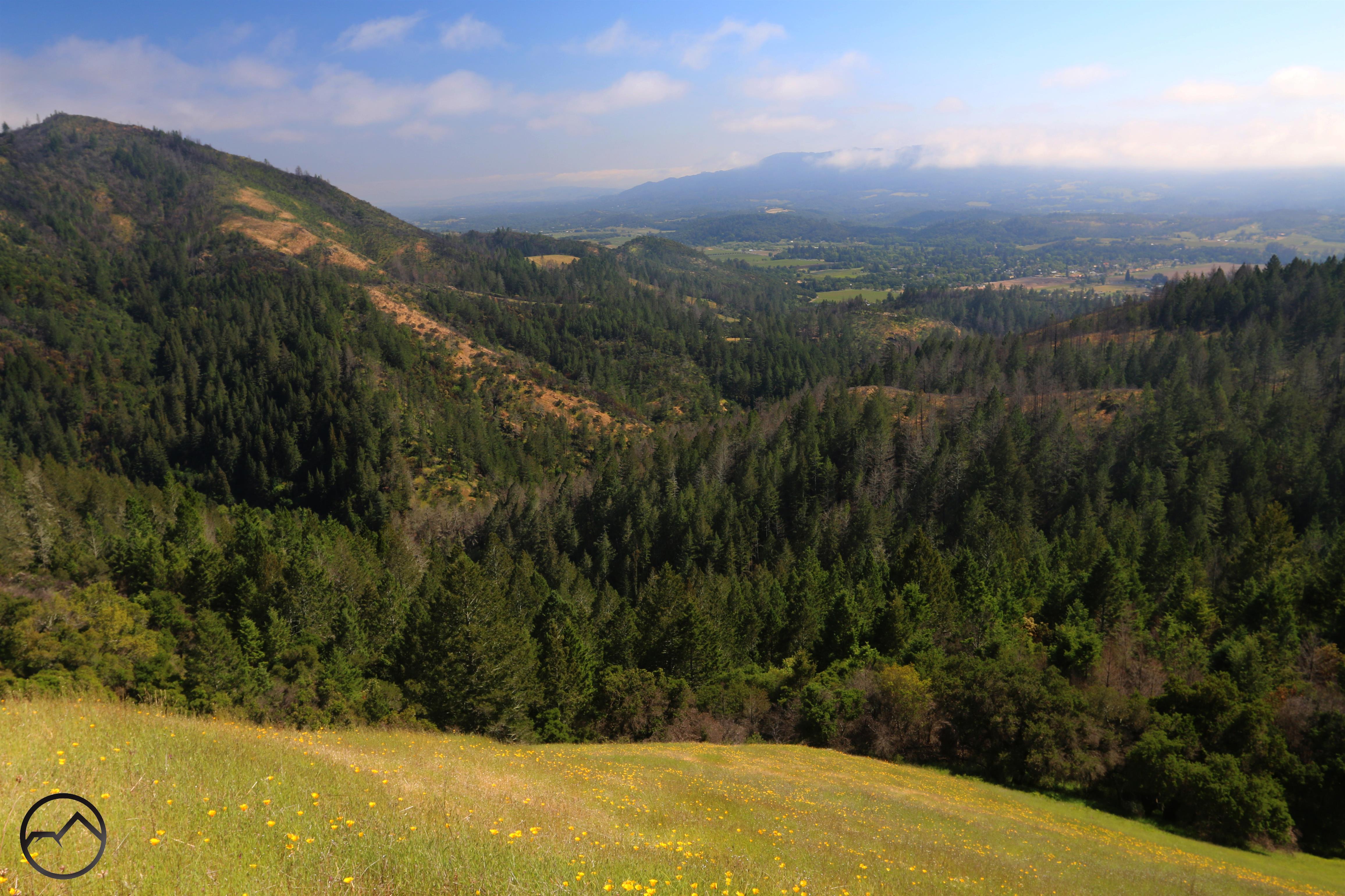
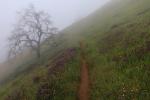
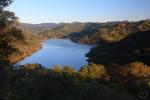
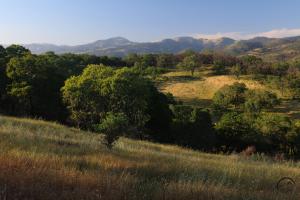
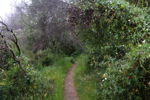
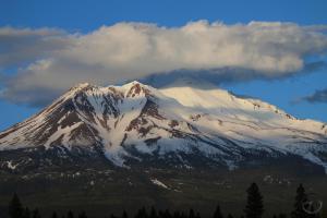
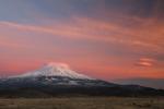
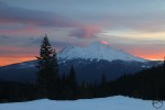
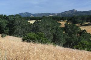
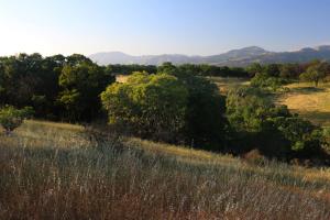
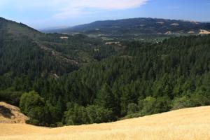
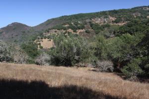
A trail view of the Sonoma Valley.
Over the last couple of months I have begun work on the 2nd edition of my book Hiking California’s Wine Country. While I am excited to have the opportunity to work on a newer version of my book, one of the primary reasons for it is not a happy one at all: the October 2017 fires. Those devastating conflagrations consumed thousands of homes but also burned over thousands of acres of wild and park land. In some ways, this was the more devastating loss at the time of the fire. From a human perspective, I knew my family would recover the loss and this has certainly been the case. However, those lands that burned, the natural beauty incinerated, would be unlikely to recover in my lifetime. It was profoundly discouraging. However, despite the fury of the fires, things are not nearly as bad as I had anticipated. This is due to both nature’s natural generative powers but also a result of nature’s preventative measures built into the landscape.
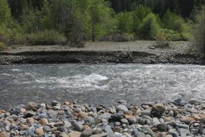
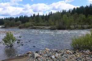
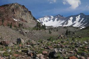
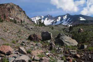
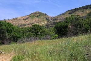
Two weeks ago I headed south to begin rehiking the trails in Sonoma and Napa Counties. As I noted in my Northern California Review on Sonoma County, Herb Caen once identified heaven as a “place resembling Sonoma County in the spring”. While May is normally slightly outside spring’s peak in that region, due to the wet winter it was still lush and green, the creeks were still flowing vigorously and the wildflowers were rioting all over the hills. The timing for all of this was since I would be able to record the condition of these trails in one of their prettiest seasons. Moreover, since I am doing a 2nd edition, I have the opportunity to add a few new trails that were not in existence when I finished my first version of the book.
It turned out to be a hard but fantastic week of hiking. I knocked out nearly 50 miles in 4 days and climbed about 8,000 feet. Other than out on the coast, I have not hiked a single mile in Sonoma County since the fires, so it was great to spend time with some old friends. The Wine Country really is a gorgeous area to hit the trail!
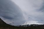
Click to enlarge:
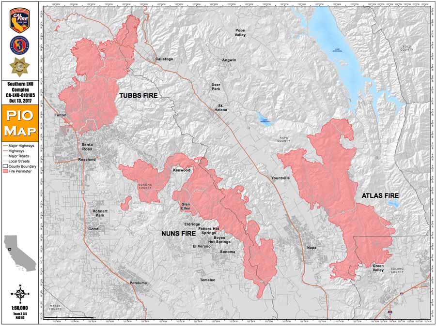
When the fires first erupted in evening of the 8th of October, 2017, there were initially several small fires, nearly a dozen in number. However, over the next week they all combined until there were three massive conflagrations. These were the Tubbs, Atlas and Nuns Fires. The Tubbs and Nuns burned in Sonoma County, the Atlas in Napa County. All of them burned in southern end of the Mayacama Mountains, a range that forms the spine of the Wine County.

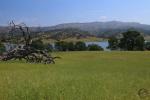
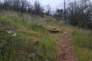
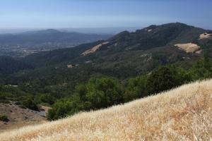
For this trip, I made the decision to focus my attention on the areas affected by the Nuns and Atlas Fires. This is where the majority of trails were affected by the flames. I will rehike trails in the Tubbs Fire later this summer. With regards to the trails in particular, the area hardest hit was the Sonoma Valley. This happens to be the region with the highest concentration of trails in the entire Wine Country. Annadel, Sugarloaf Ridge and Jack London State Parks, all of them large parks, are all found here. Hood Mountain and Sonoma Valley Regional Parks are also located in the Sonoma Valley. These are run by the county and Hood Mountain, like the state parks, is a large, spectacular wilderness park. All of these parks, with the exception of Jack London, were overrun by the Nuns Fire.
I had not been able to bring myself to even drive through the Sonoma Valley since I had little idea how things were going to look. Driving through on my way down from Mount Shasta, the northern half of the valley was obviously altered, but I was encouraged to see that it was not nearly as devastated as I had anticipated. It was obvious that fires had ripped through the area but there were more green trees than I had hoped for and it was not immediately filling with a sense of doom like I thought it would.
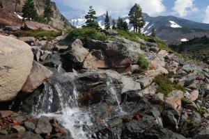
Once I started hiking, I was shocked how much of the forests were still intact, despite having been burned through. This is also the case in Napa County as well, where the Atlas Fire ate through parts of Skyline Wilderness Park. I am happy to report that, yes, there is significant damage in some areas, but, for the most part, nature did indeed preserve much of its beauty and is restoring those areas that were totally consumed.
I have set up a few before and after pictures to give some sense of how things look. This was not something I had initially set out to do so please forgive the lack of perfect alignment of the images.
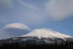
Click to enlarge:
-
-
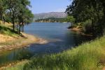
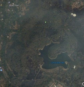
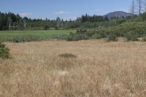
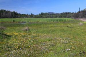
Sonoma Valley Regional Park
-
-
Sonoma Valley Regional Park
-
-
Hood Mountain Regional Park
-
-
-
Sugarloaf Ridge State Park
-
-
Sugarloaf Ridge State Park
-
-
Annadel State Park
-
-
-
Skyline Wilderness Park
-
-
Skyline Wilderness Park
-
-
Skyline Wilderness Park
-
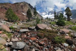
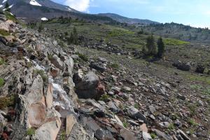
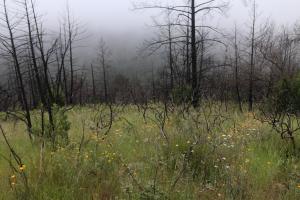
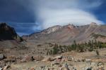
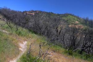
Without doubt, there are areas that are completely devastated but as these images show, many of the trees withstood the flames, protected by their bark. The trees’ natural resistance to fire worked as designed. When lower intensity flames passed through the forest, it burned the low brush and lower branches but the bark protected the trunks and the higher canopy survived. Naturally the grasses have returned with great vigor.
Sonoma Valley Regional Park is a microcosm of this. When looking at satellite images of the park just after the fire, I had anticipated complete devastation, yet when I arrived at the park, it looked like nothing had ever happened!
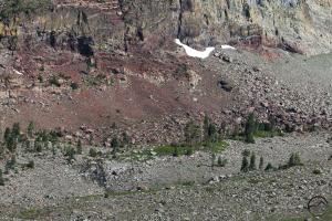
One interesting thing I noticed, and is evident in the before and after images, is that the areas that were most affected by the flames was that which was covered in chaparral. Almost any chaparral that was touched the fire was incinerated down to the ground. It was like a giant fuel blanket, just waiting to be lit. Examine the images closely and it will be obvious that the areas where the fire’s impact is most apparent is where chaparral had once covered the hills.

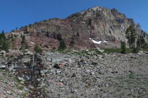
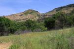
The view from Bald Mountain in Sugarloaf Ridge State Park. The fire damage is obvious.
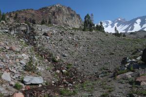
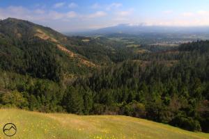
The Sugarloaf Ridge/Hood Mountain area seemed to be the region hardest hit by the fire. Here large swaths of trees were totally burned, leaving forests of ghostly snags.
-
-
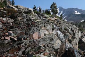
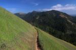
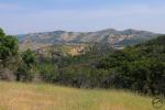
Heading toward the Hood Mountain summit.
-
-
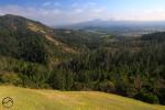
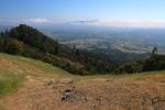
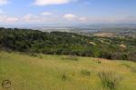
Looking south from Hood Mountain.
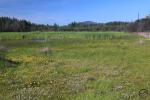
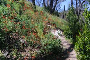
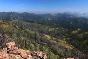
Yet even here, the hardest hit area, restoration is well underway. The grass has returned, wildflowers are exploding all around and the process of breaking down the snags is beginning. Beauty abounds in the midst of the ruins:
While the snags can be discouraging, there is a bonus to the fire having burned through some of these areas. Where brush and dense canopies once obscured what would be otherwise be great views, now those views are wide open and ready to be enjoyed! Hood Mountain once notoriously had no views from its brush-covered summit. This is no longer the case!
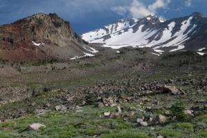
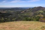
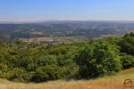
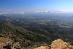
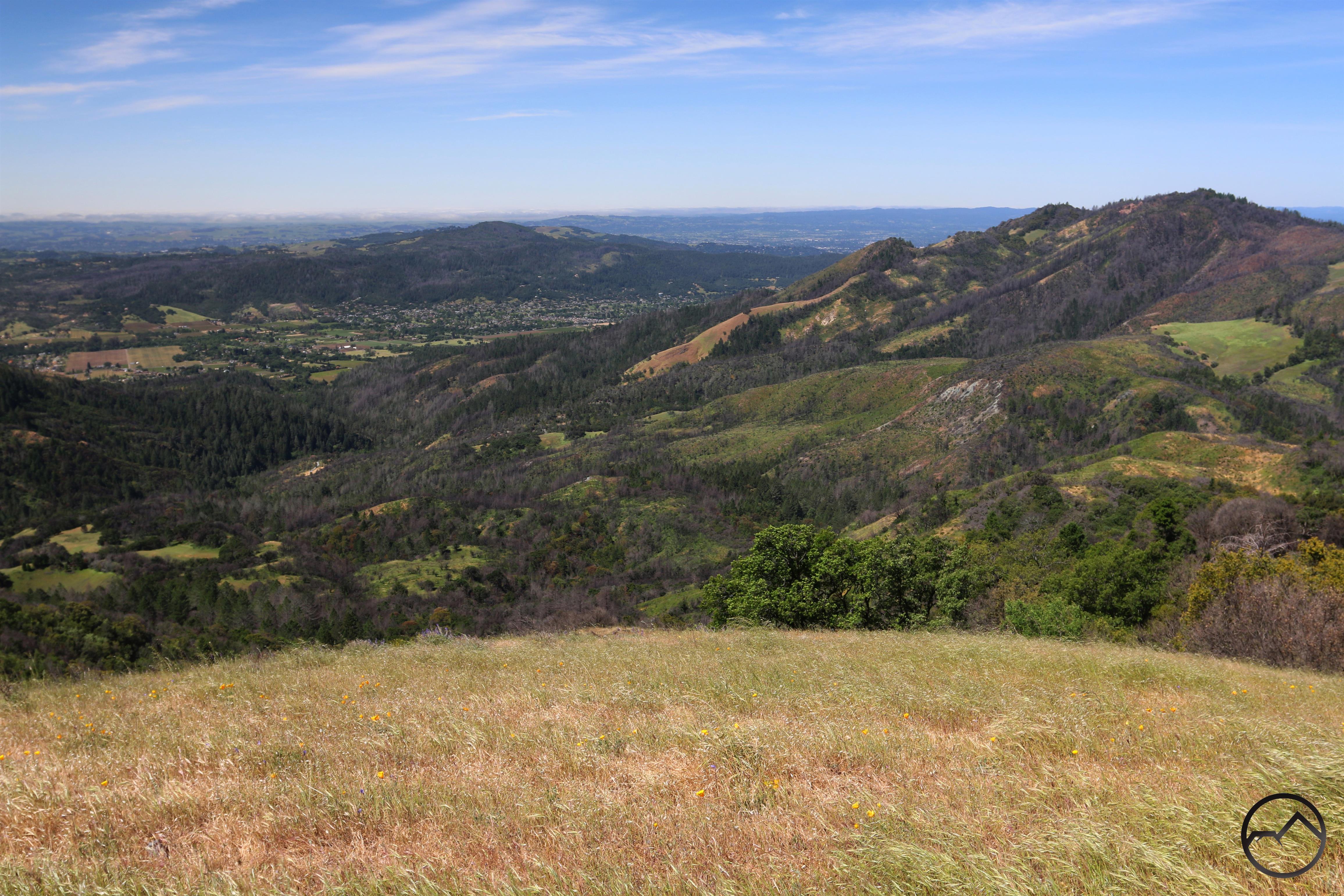
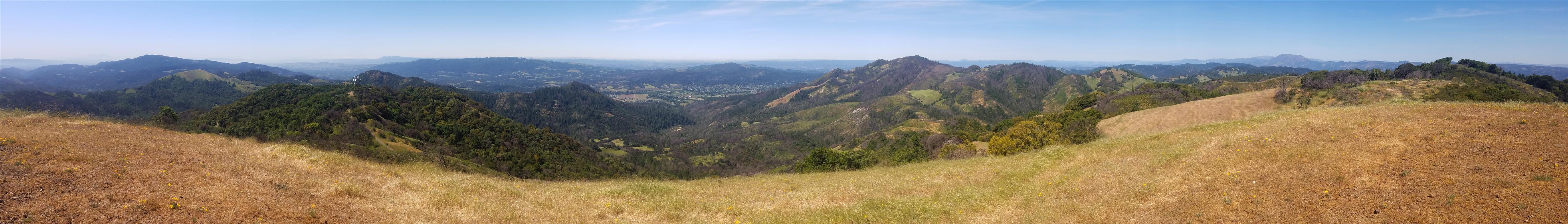
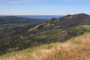
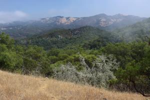
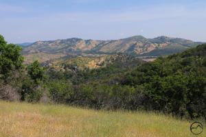
The vistas themselves are still spectacular, despite the ravages of the fires. The view from Bald Mountain is an excellent example. Looking down on the worst burned areas, it is hard to argue with the magnificence of the spectacle. Definitely enlarge these to see the detail!

Bald Mountain view looking west.

Bald Mountain view looking east.
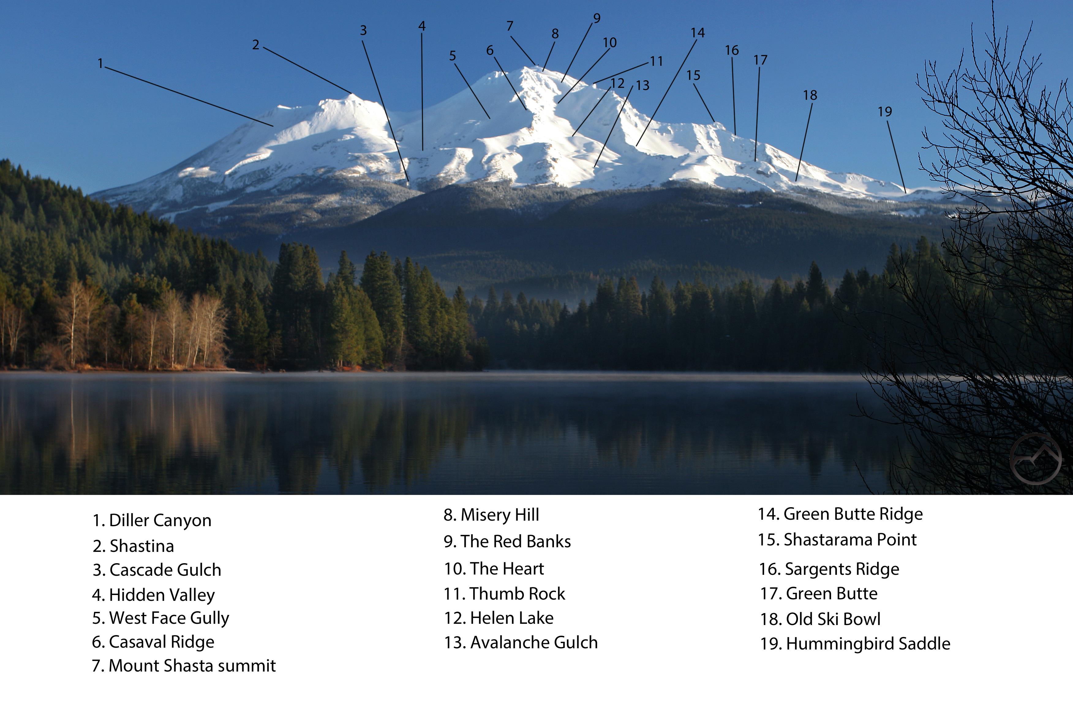
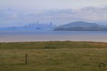
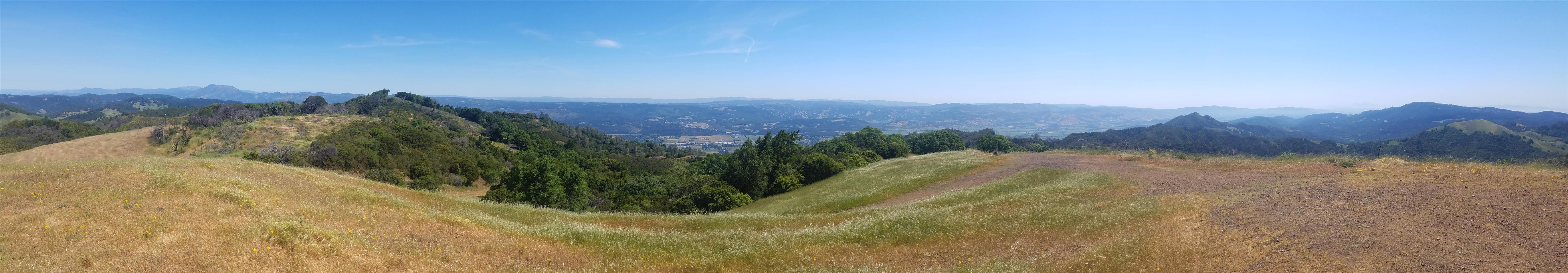
As an aside, I took the liberty of annotating the panorama of the view looking west. It is shocking how many things you can see from this one vantage point:

1. Napa 2. Mount Diablo 3. Mount Veeder 4. San Francisco Bay 5. Sonoma 6. San Francisco 7. Tolay Lake 8. Mount Tamalpais 9. Sonoma Valley 10. Sonoma Mountain 11. Jack London State Park 12. Kenwood 13. Petaluma Gap 14. Rohnert Park 15. Adobe Canyon 16. Bennett Mountain 17. Taylor Mountain 18. Sebastopol 19. Annadel State Park 20. Downtown Santa Rosa 21. Gunsight Rock 22. Hood Mountain 23. Mohrhardt Ridge 24. Dry Creek Valley 25. Alexander Valley 26. Geyser Peak 27. The Geysers 28. Cobb Mountain 29. Mount Saint Helena 30. Table Rock 31. The Palisades 32. Snow Mountain 33. Saint John Mountain
In the end, I am quite encouraged by how well the areas affected by the fires are doing. Sonoma and Napa Counties have always been spectacular hiking destinations, if a little underappreciated as such. After the fires, they remain beautiful and spectacular. These areas deserve to be regarded as such. I hope as many people as possible will read this report and head down there. The economies have been struggling since the fires and with fewer people visiting the area, now is the ideal time to explore the trails (and wineries and restaurants etc.) in the Wine Country!