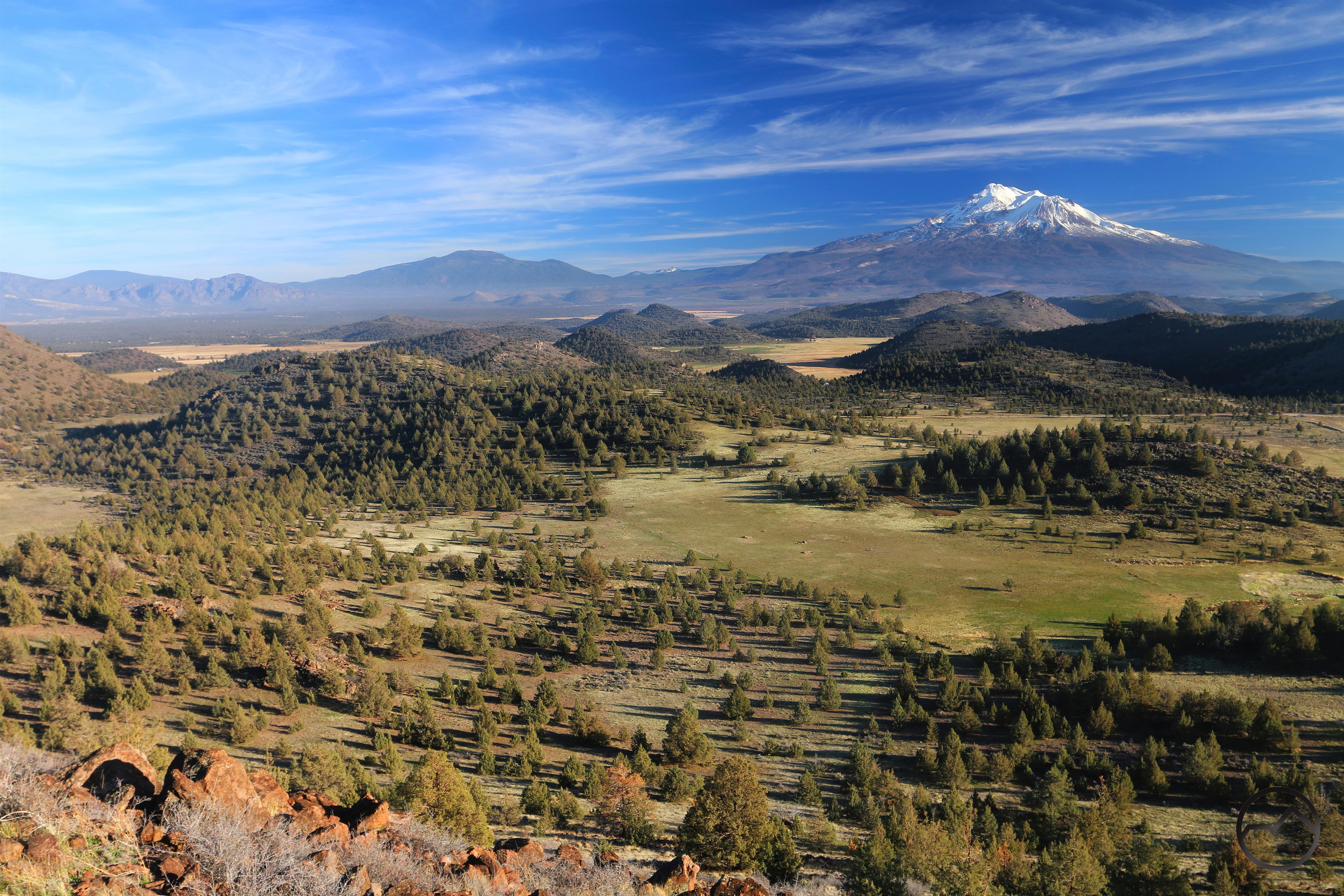
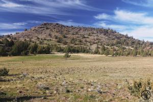
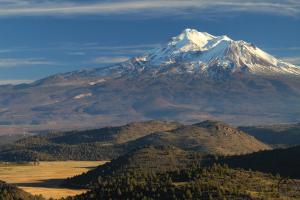
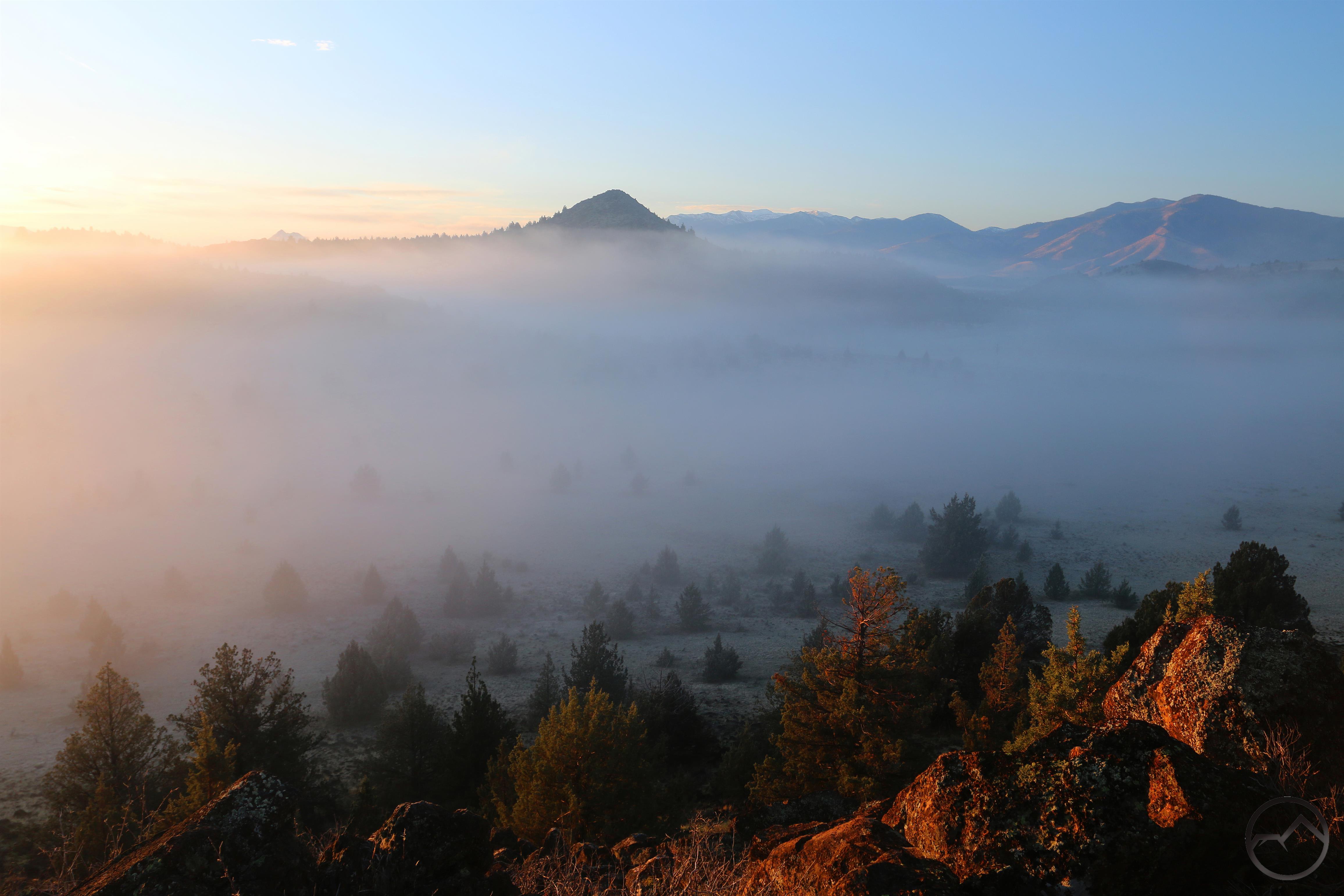
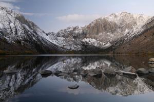
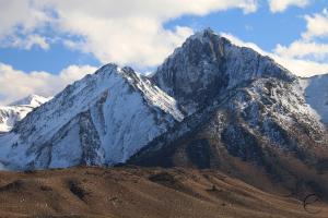
A frosty white Black Butte rises above the high desert terrain of the Shasta Valley.
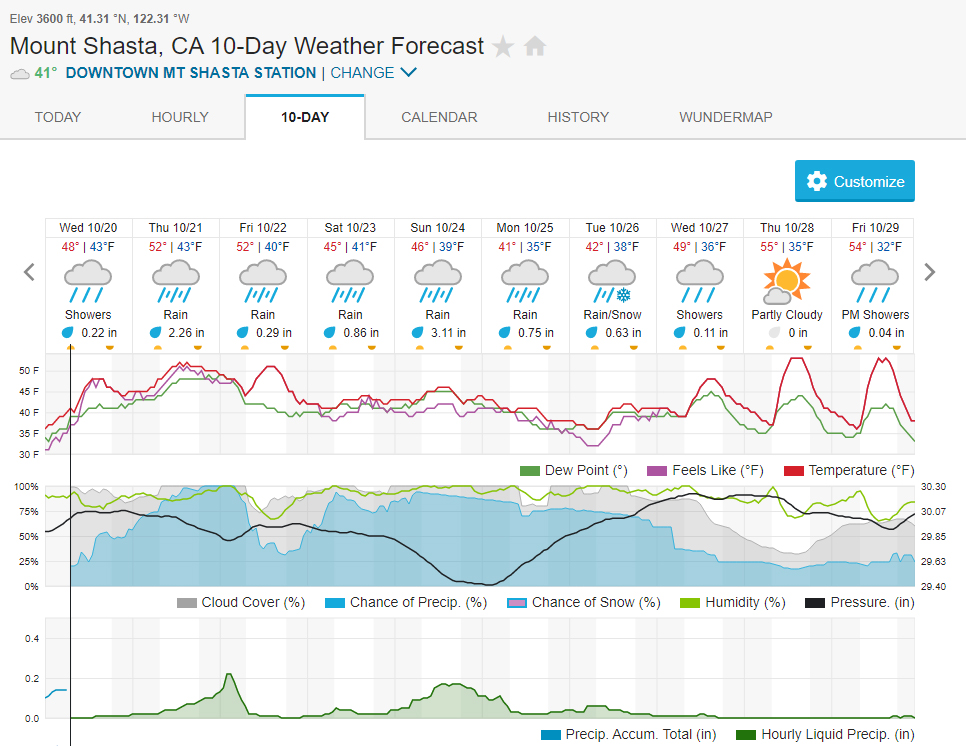
We got our first good dose of snow this winter here in Mount Shasta and, if this is any indicator of how the rest of the winter is going to go (Lord willing!) then things are looking pretty good. Obviously last winter was less than ideal and the entire west coast needs a lot of precipitation, so the fact that we are getting weather like this is a hopeful sign. It certainly is a stark shift from what it was like at the beginning of the month, with clear sky and balmy conditions. How rapidly things change! Let us pray they don’t change away from the current conditions for too long.
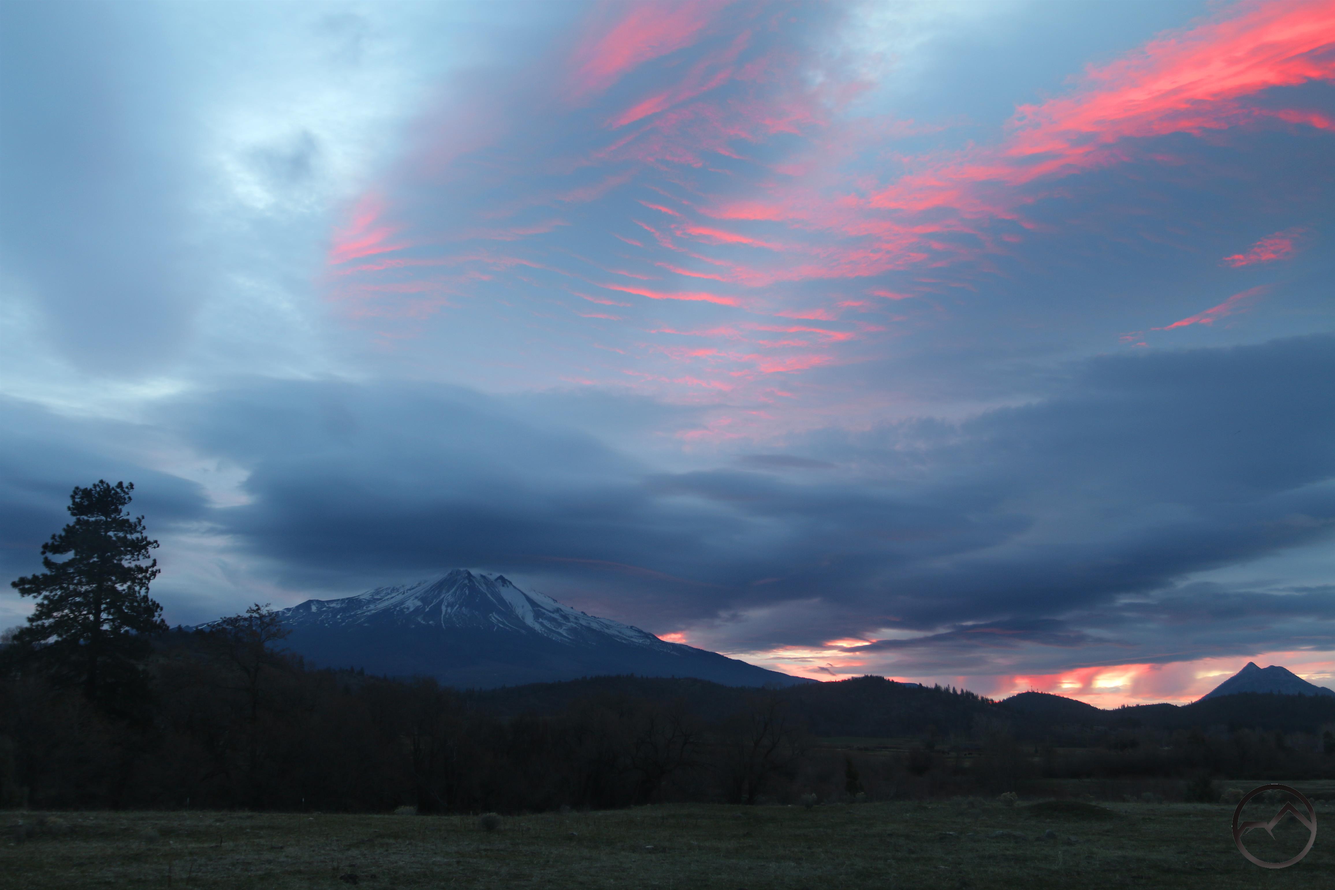
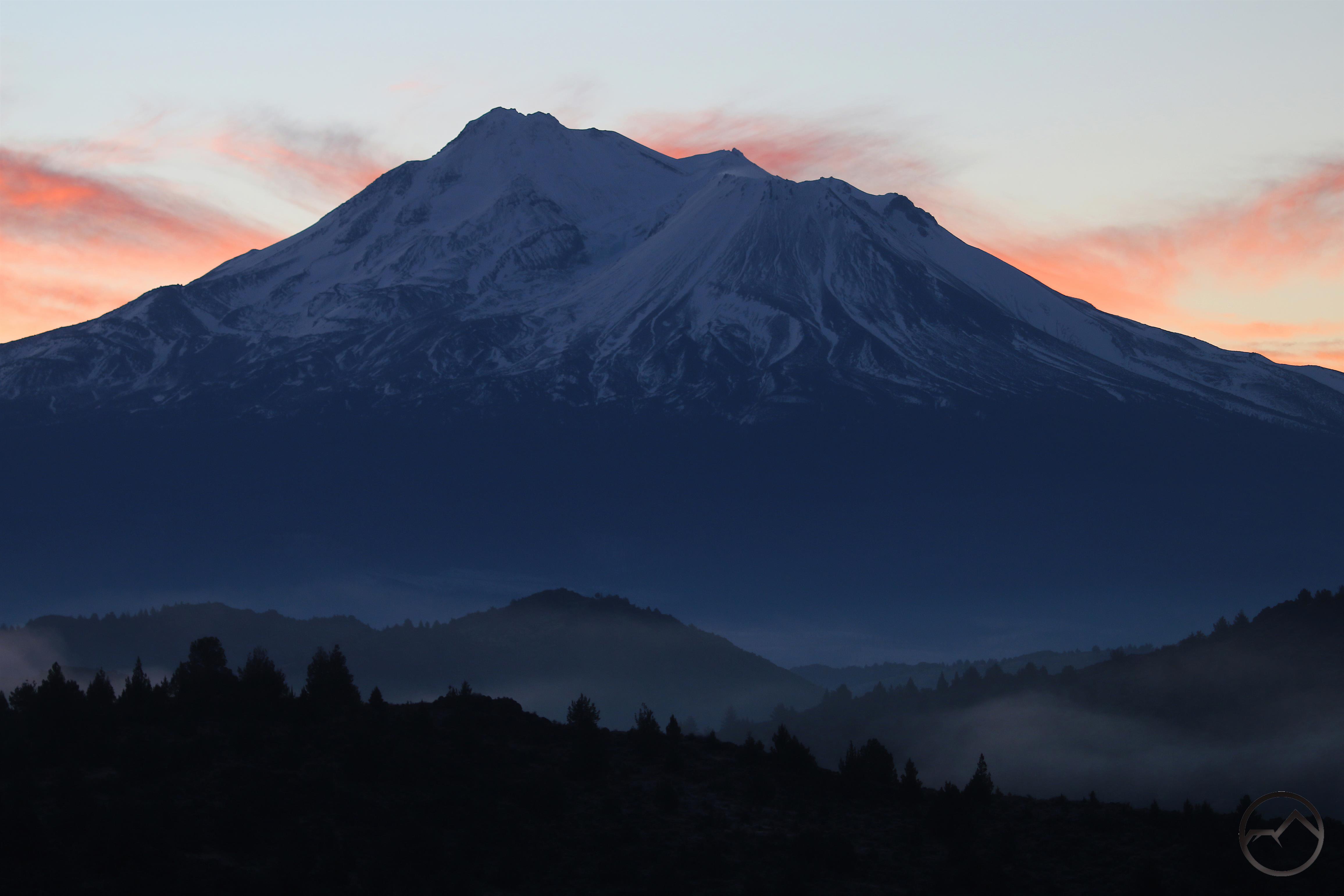
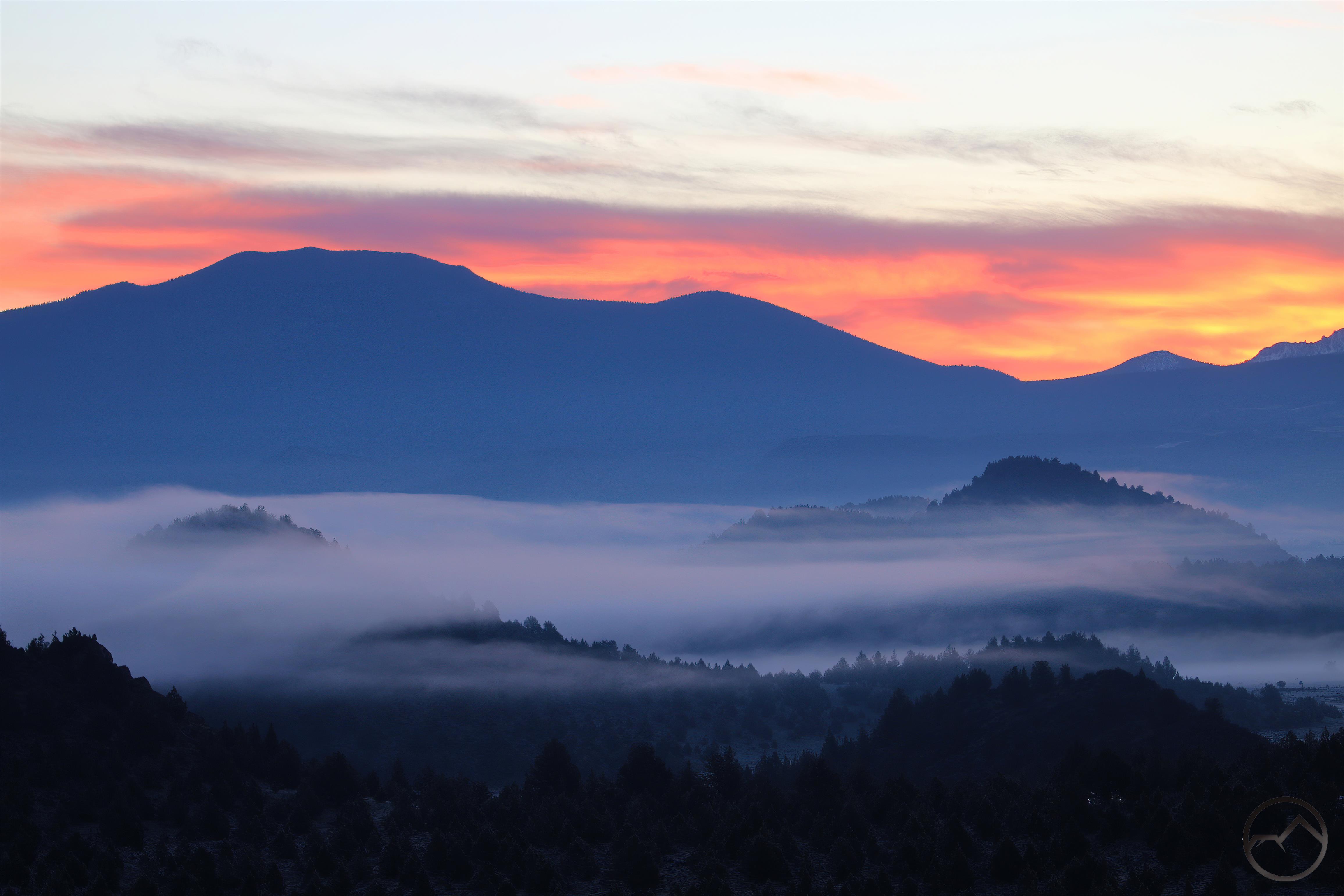
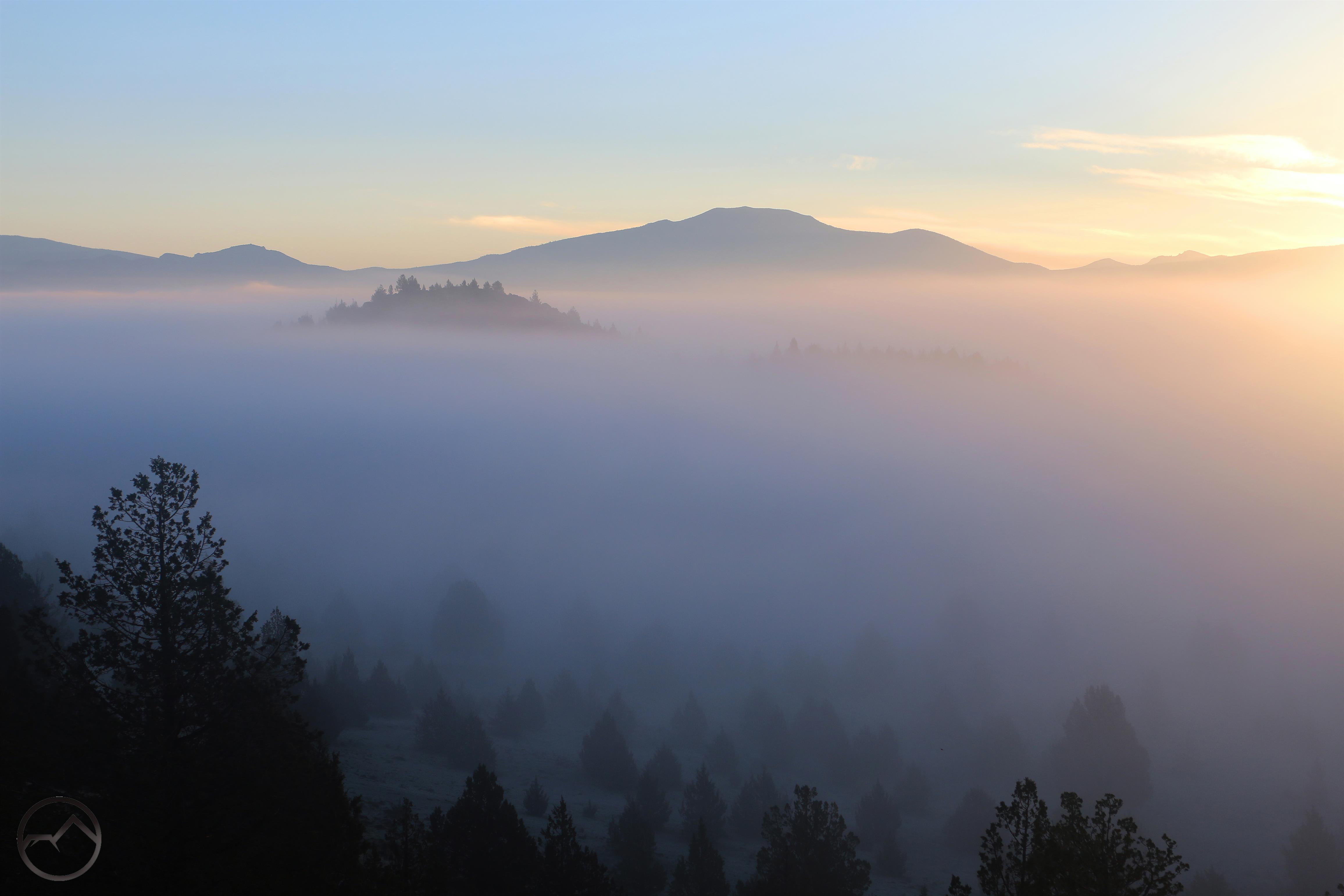
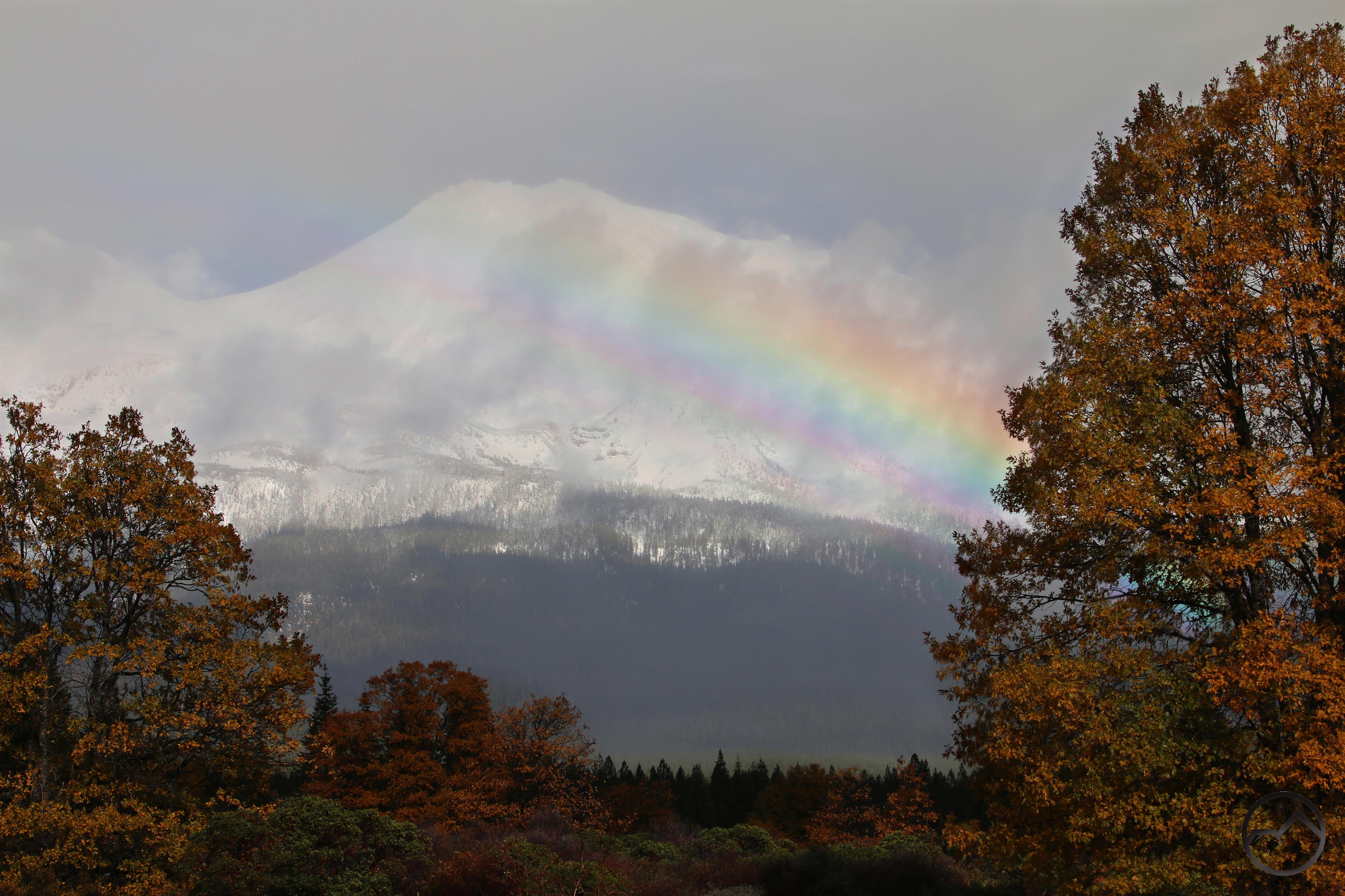
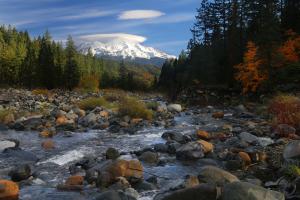
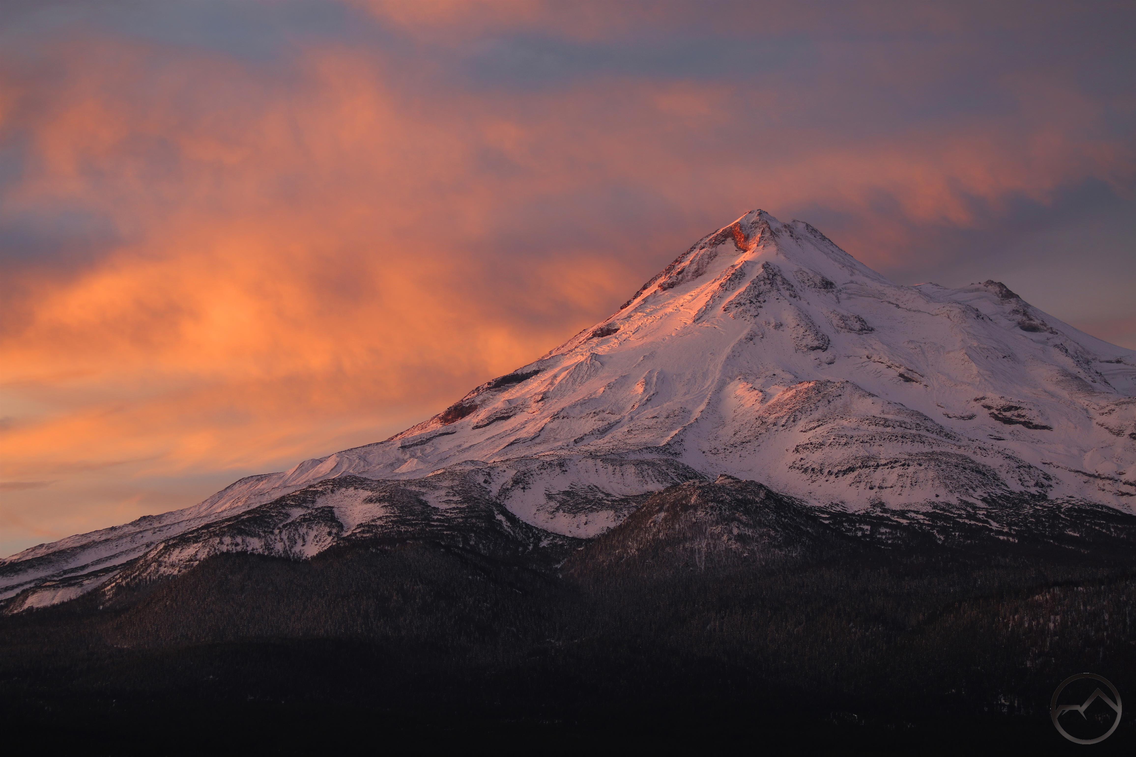
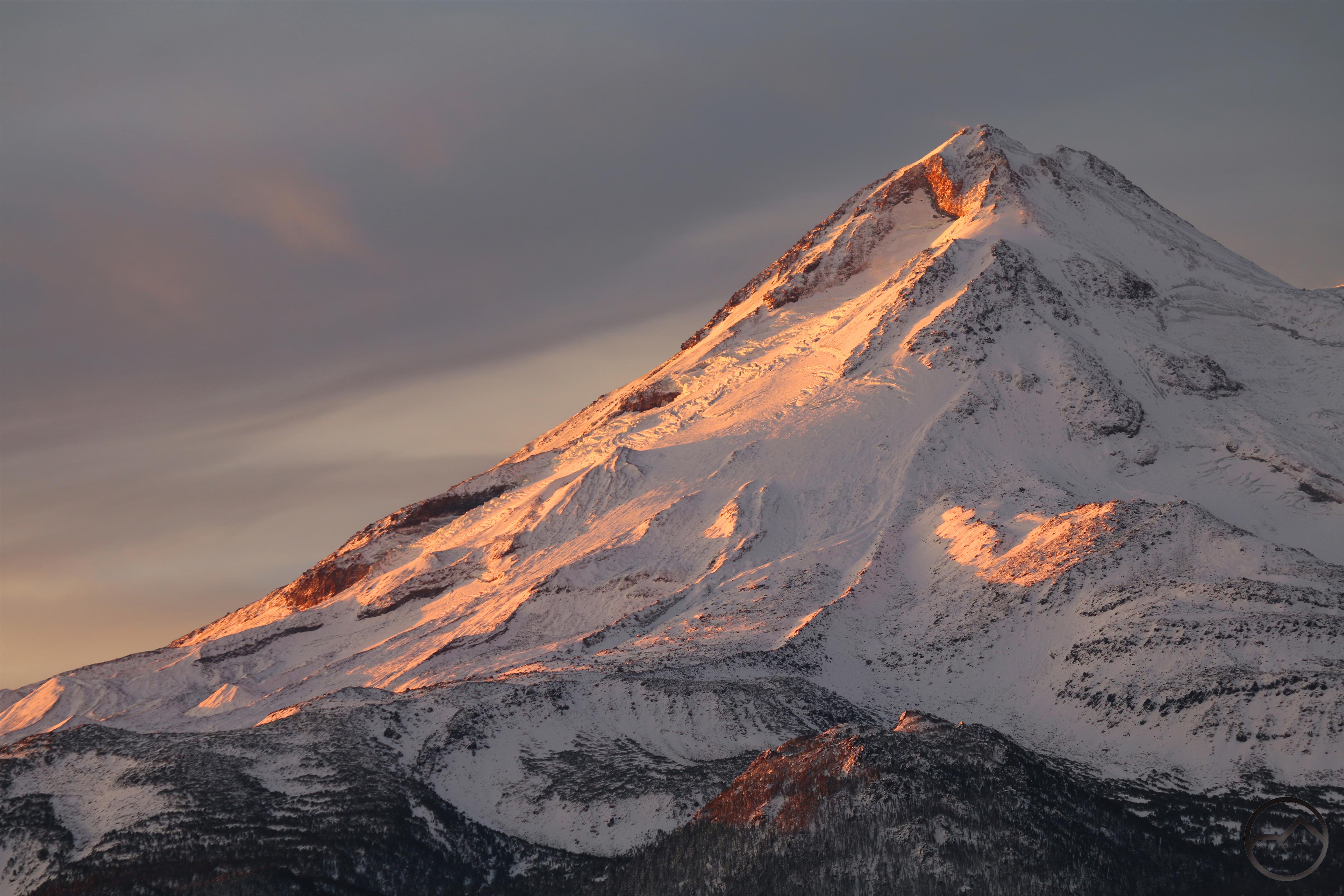
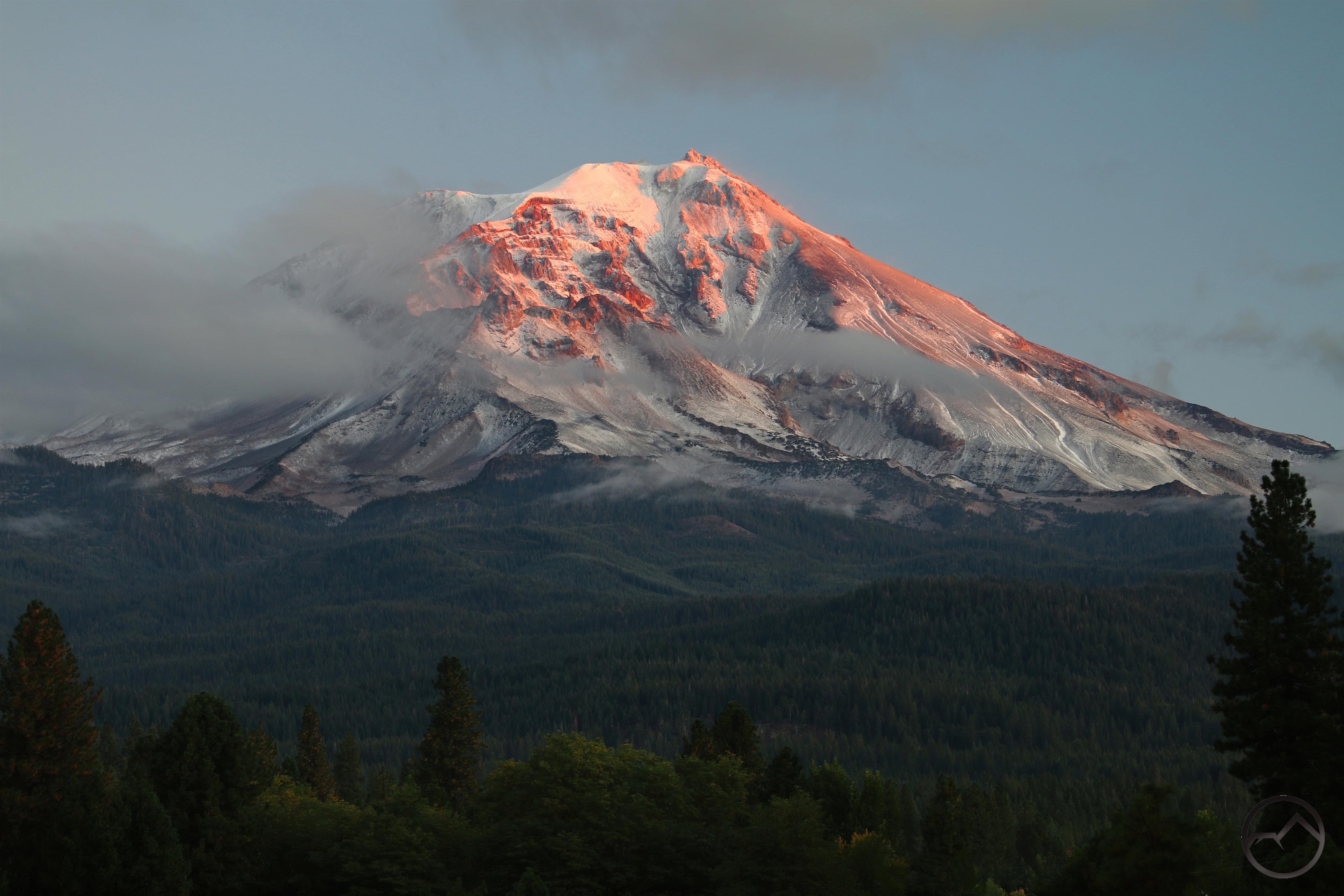
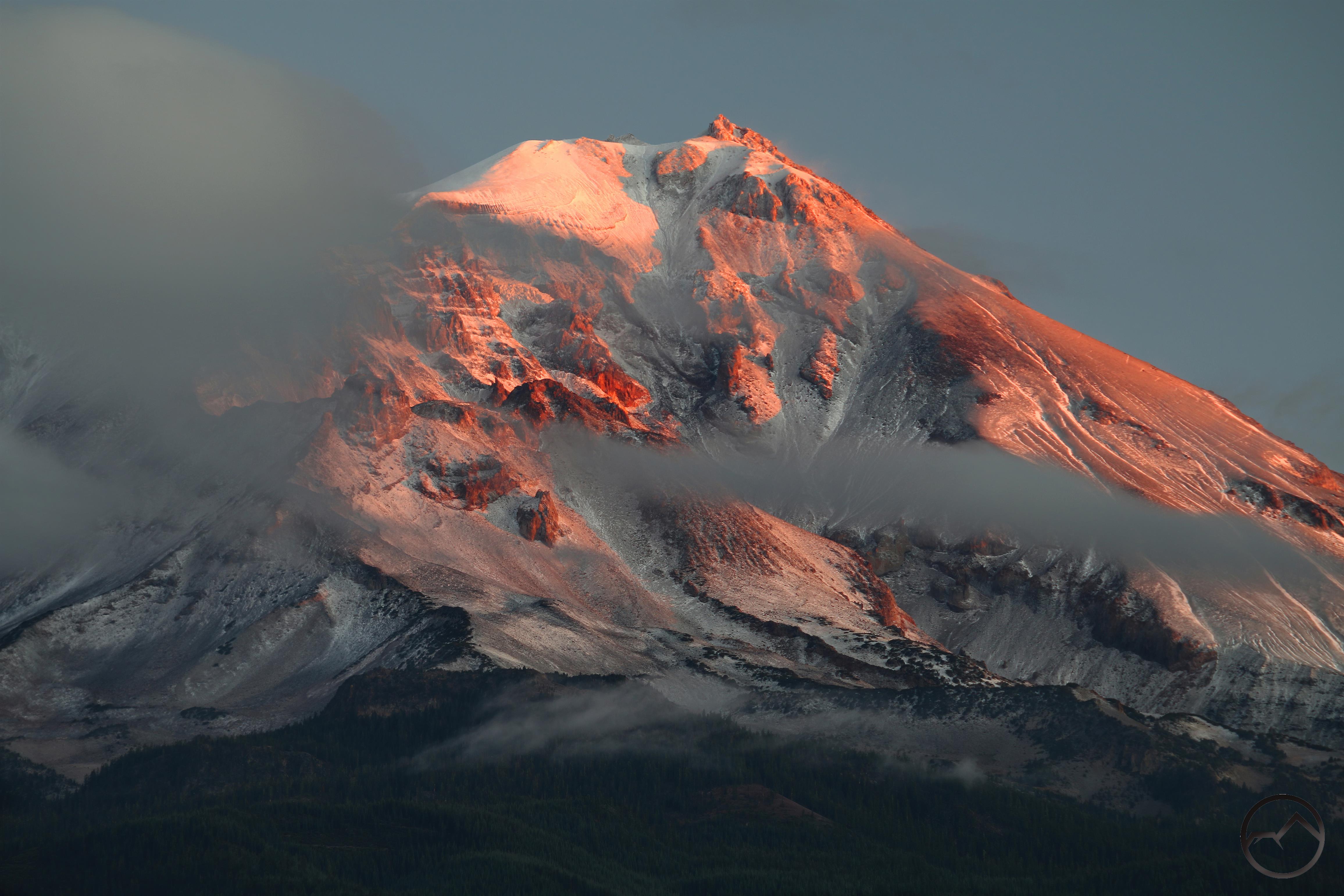
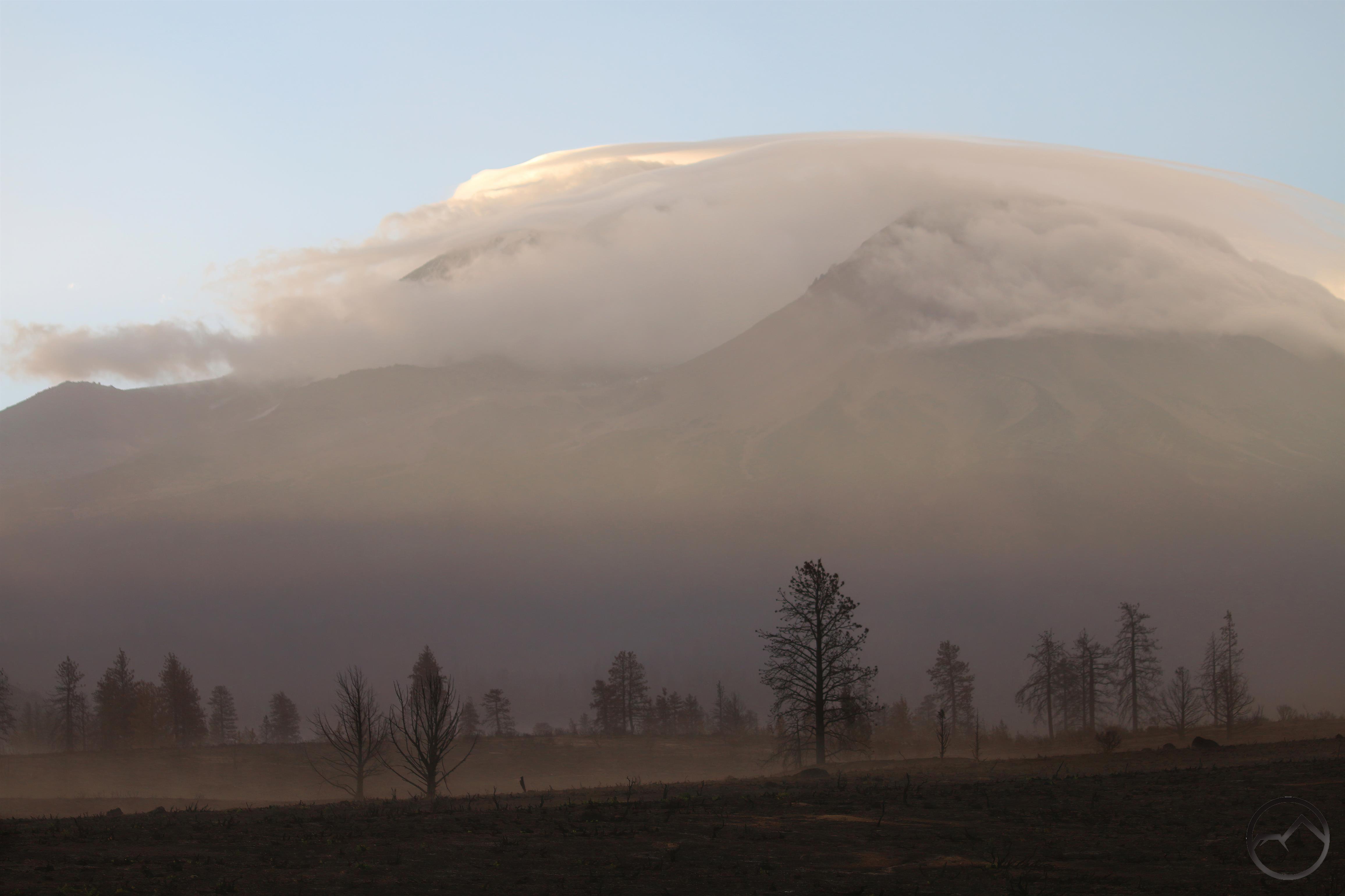
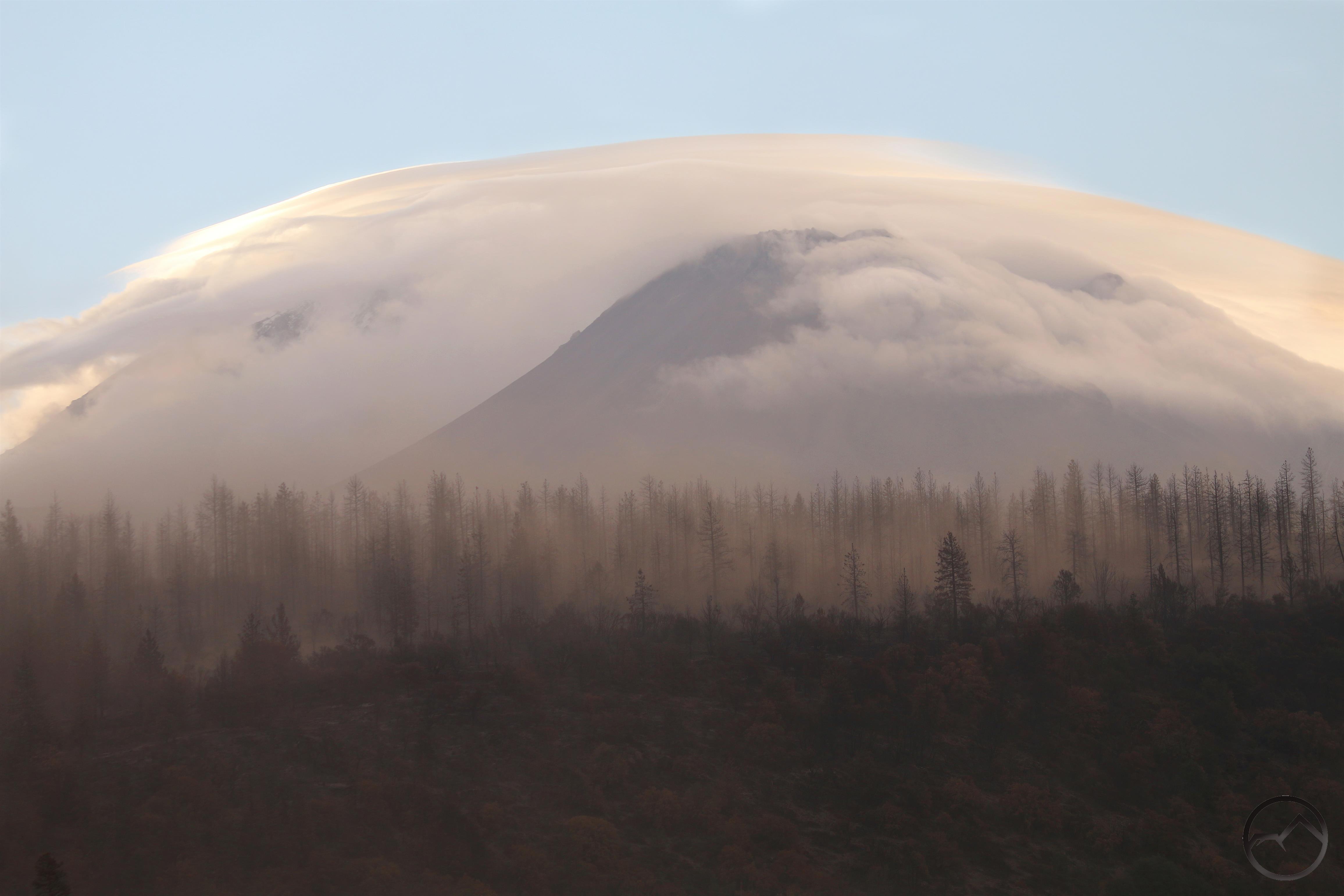
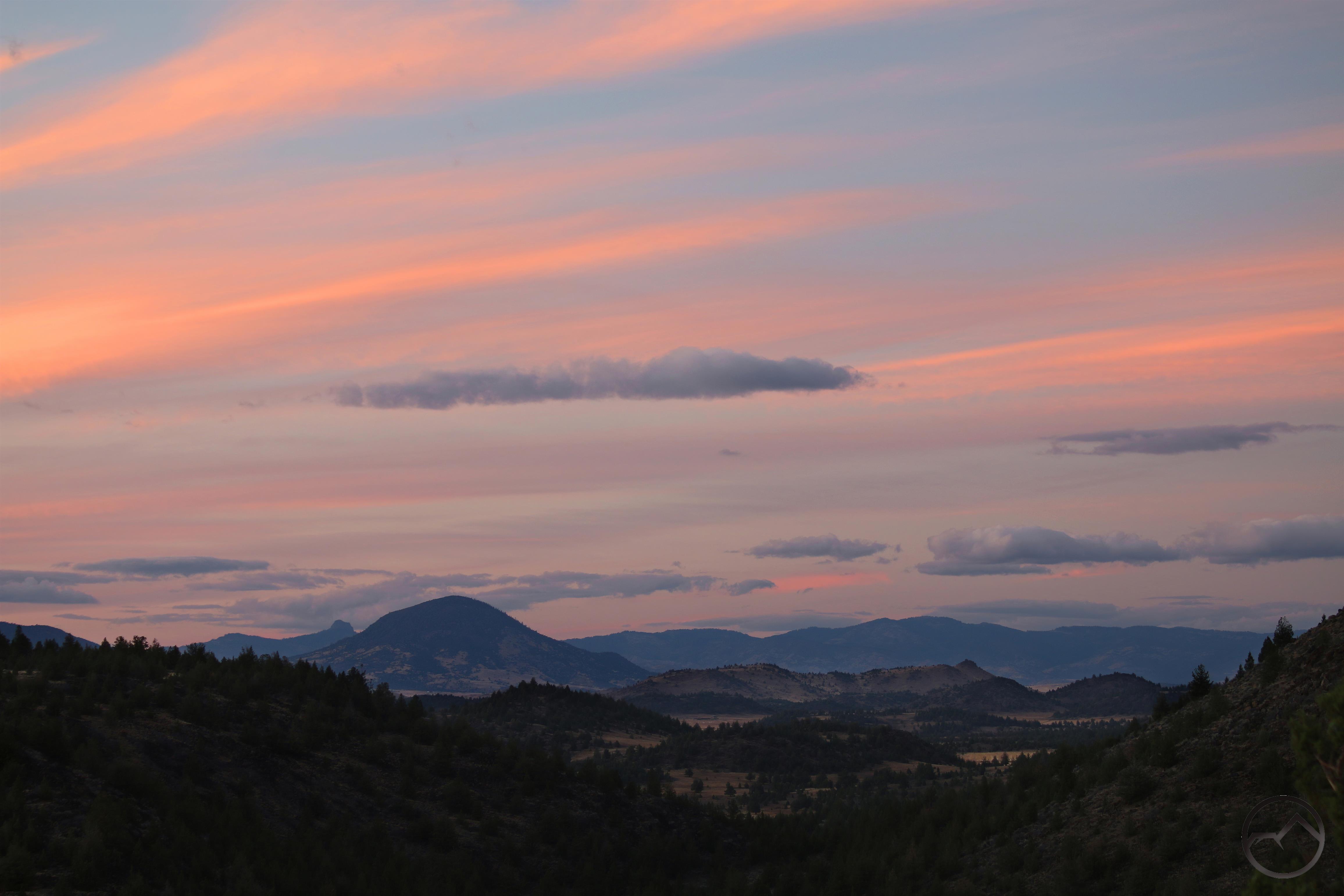
Knowing the weather was turning from warmer temps and dry conditions to stormy weather, I headed out to try to catch any interesting formations over Mount Shasta. When weather turns dramatically one often finds awesome clouds manifest over the mountain. That was certainly the case this time, but the the location of many of the clouds prevented the area from lighting up, though a little color snuck through. It wasn’t the greatest sunrise but it was gratifying to know snow was incoming.
The storm began a week ago and dropped several inches of thick, sloppy snow. Though no doubt hyperbole, it felt like there was more water content in this snow than all of the dry fluff the fell last winter.
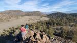
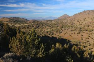
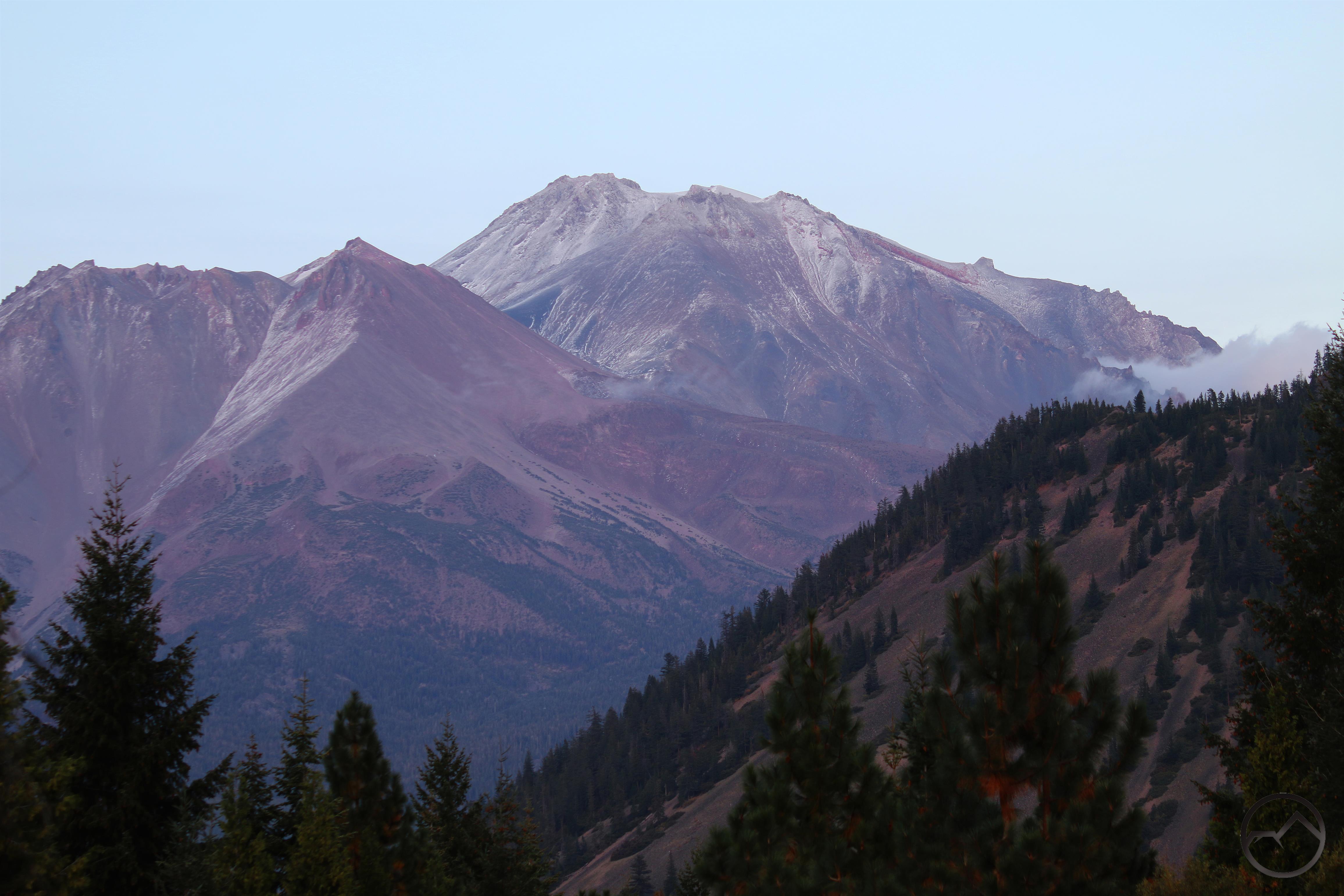
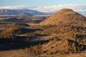
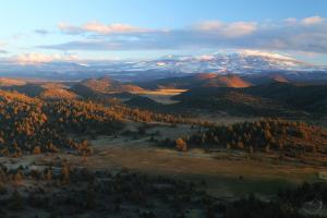
After this initial round of snow the storm lightened up for a little bit, with another big round of snow incoming midweek. This gave me the opportunity to head out and check the conditions out at Truchas Ridge. I once again climbed to the top of Cerro Pedernal to get a sense of how the area looked. The view from the summit really is superlative, possibly my favorite in the entire area.
-
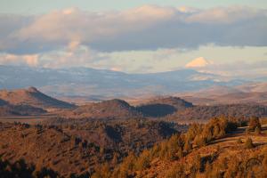
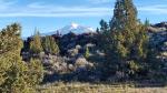
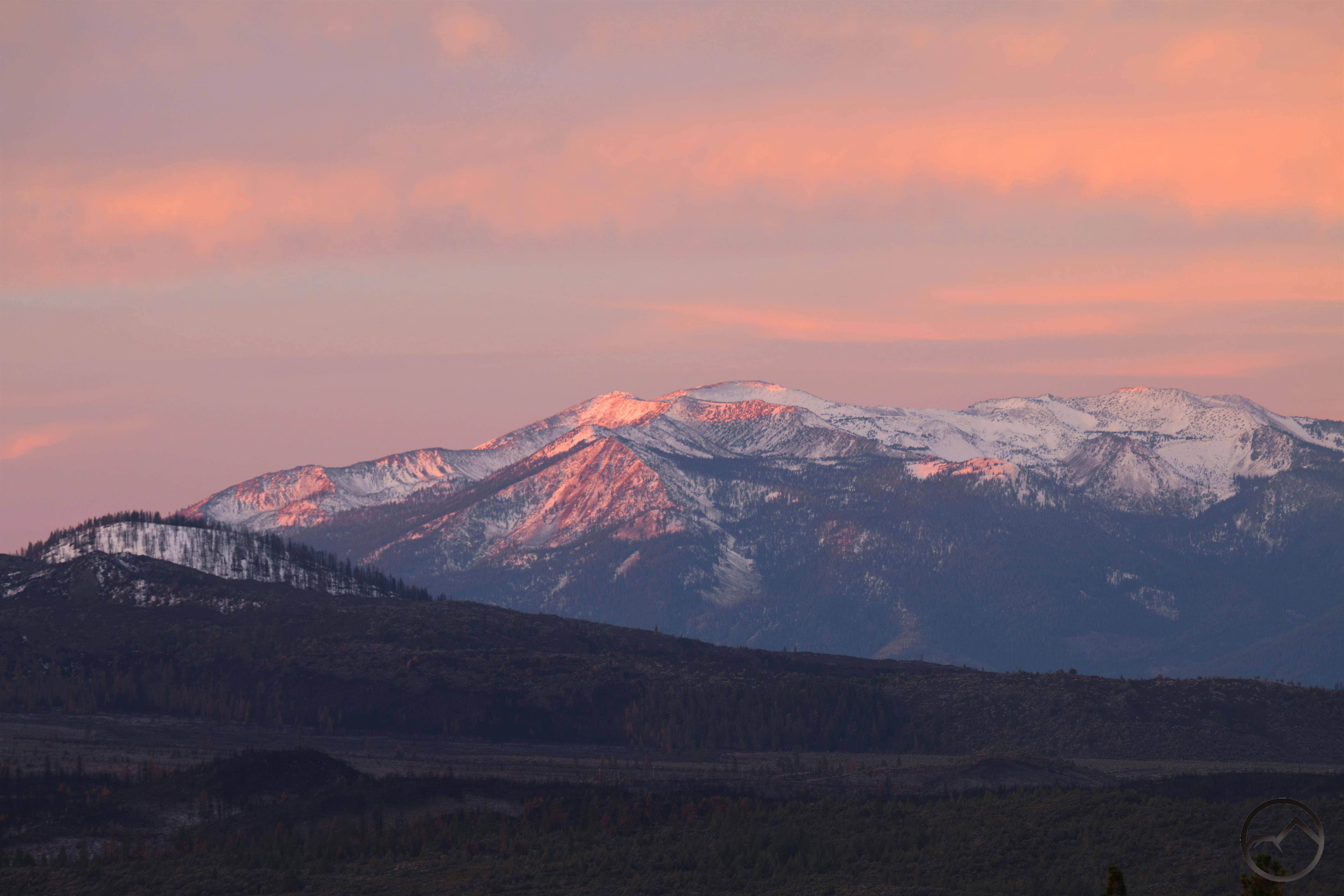
- Another view north into Oregon. Mount McLoughlin, the highest peak in southern Oregon, glows white in the setting sunlight.
-
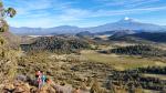
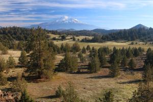
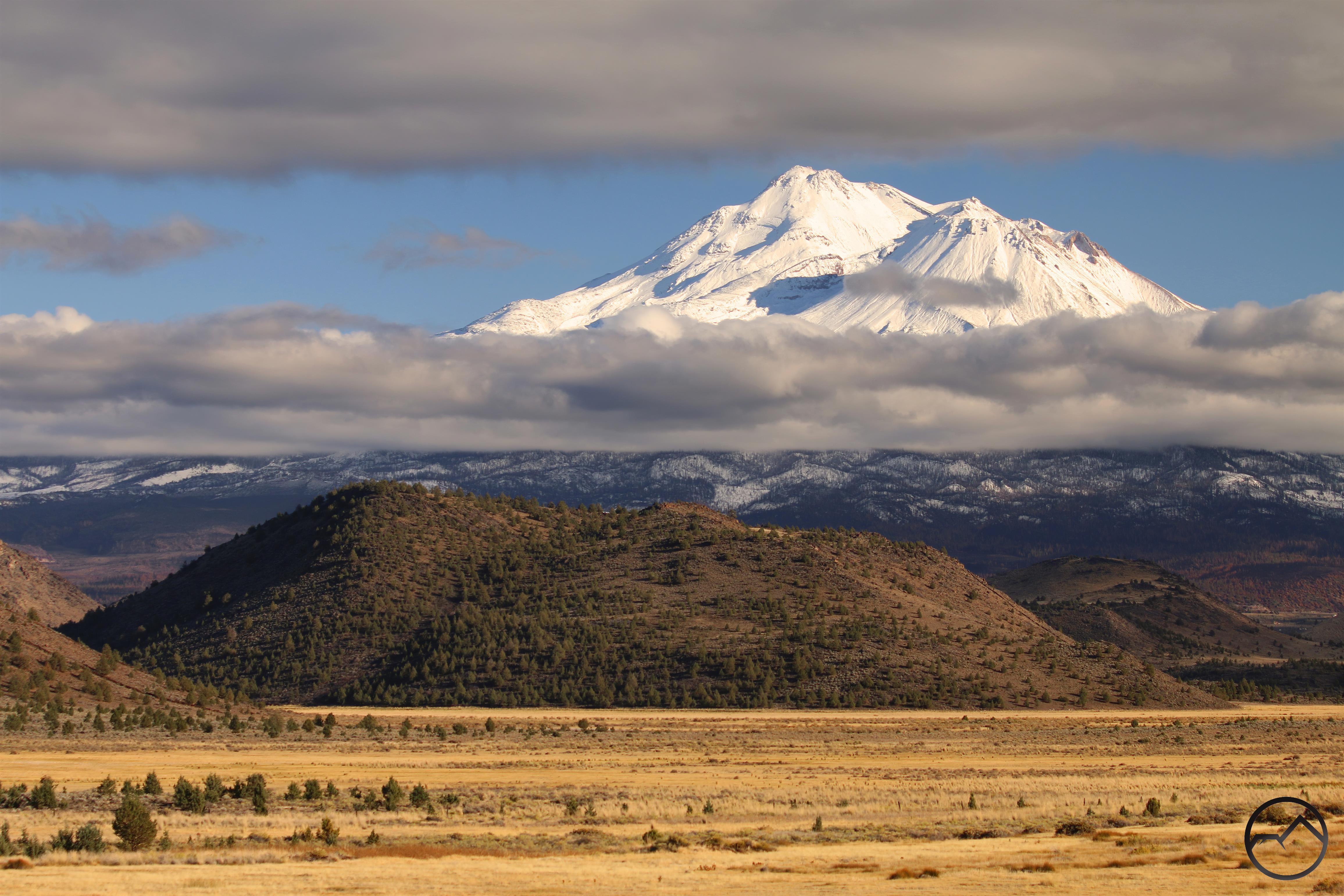
- The view to the south was awesome, though Mount Shasta was blocked by clouds. The snow level was down pretty low but the Shasta Valley remained snow free.
-
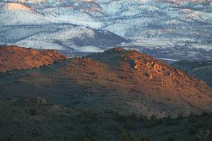
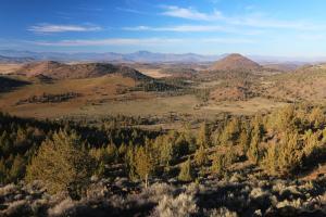
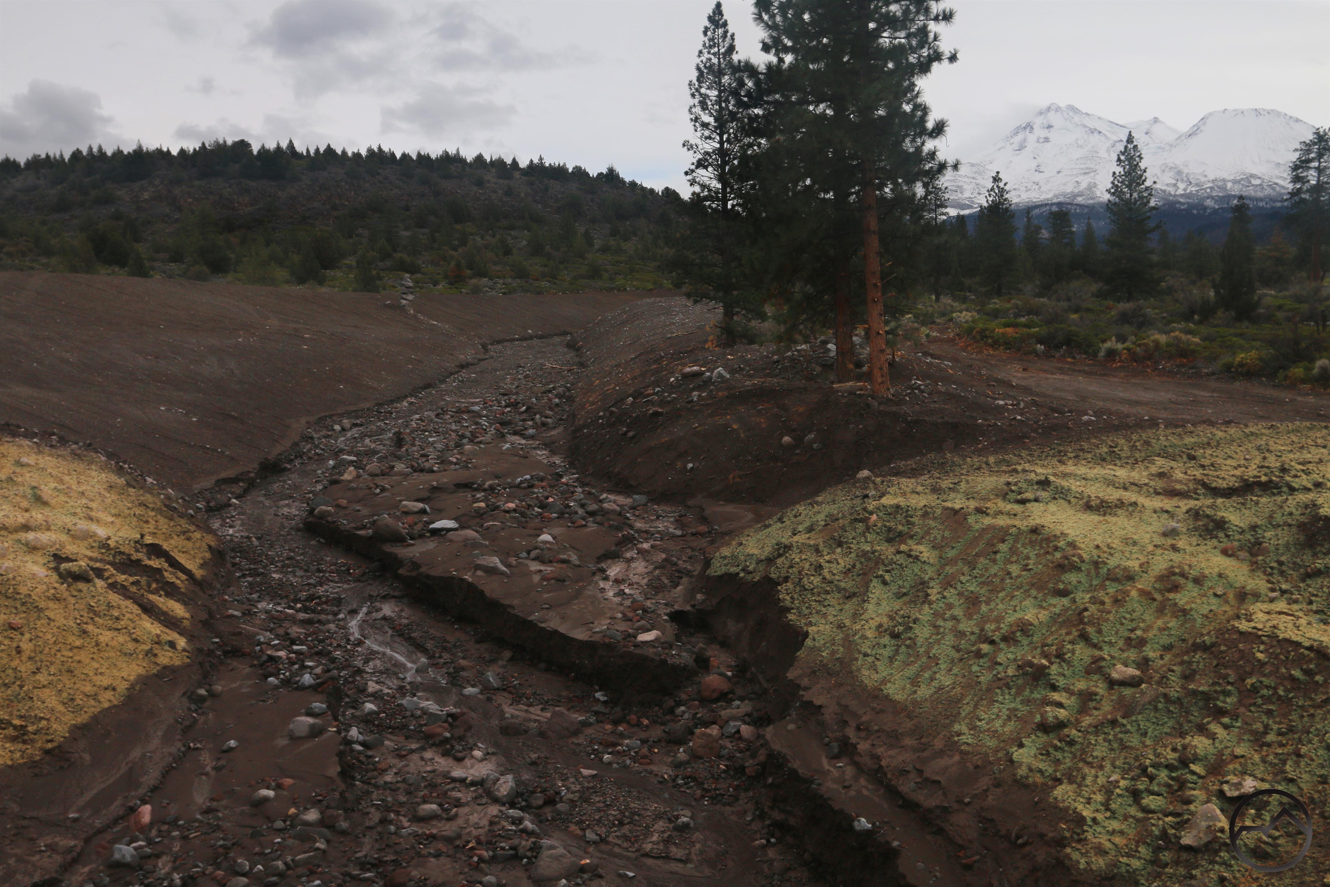
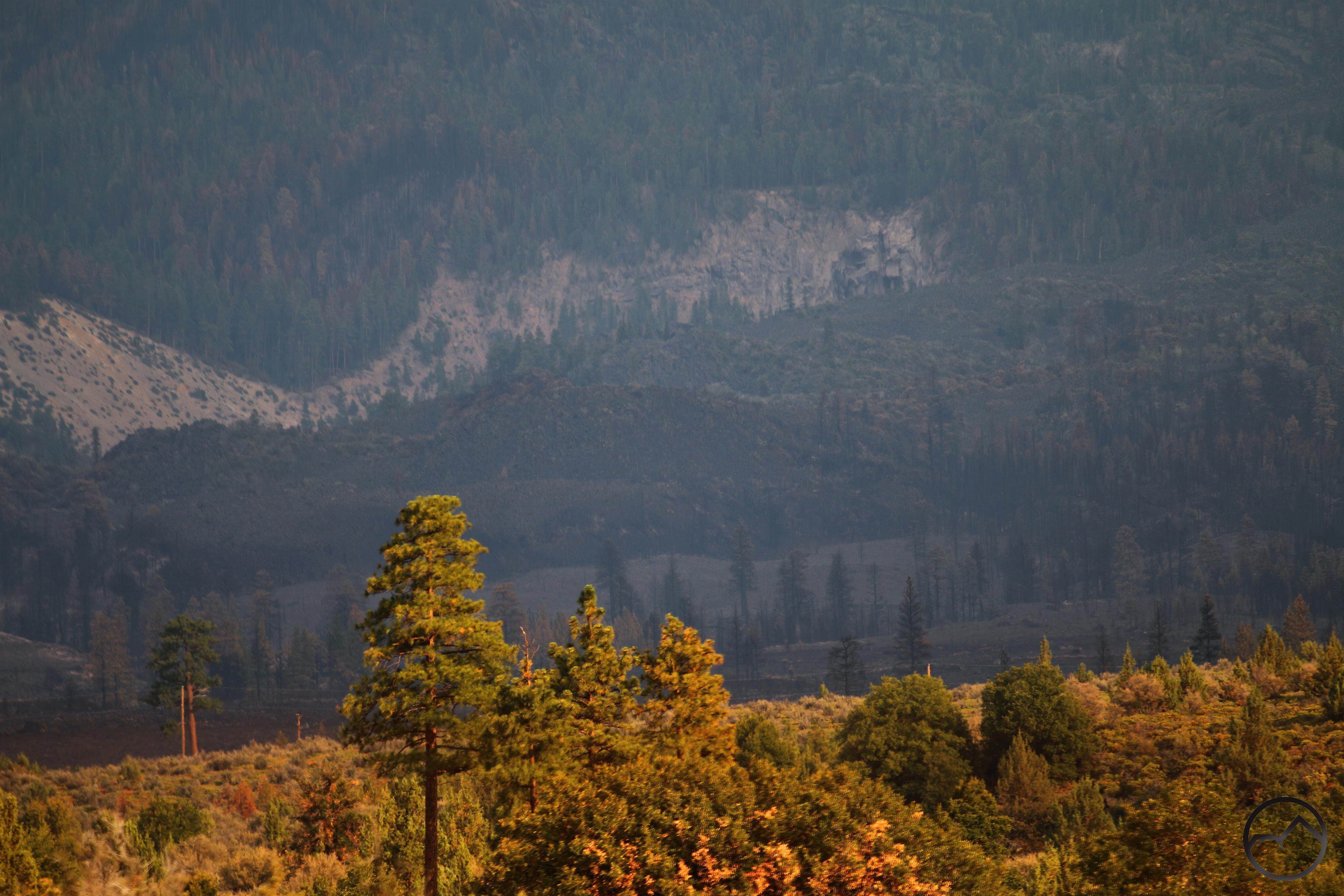
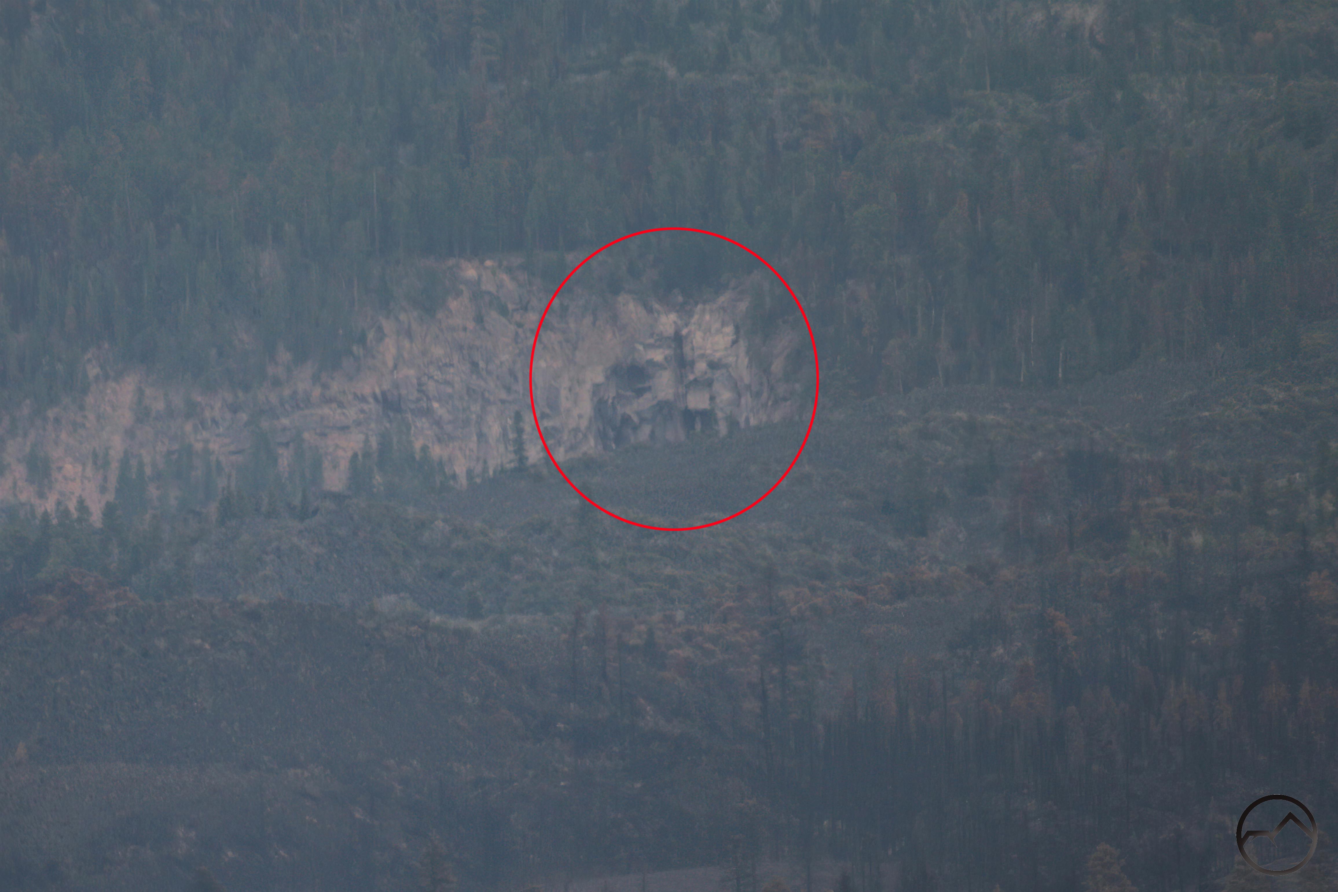
- Using my telephoto lens, one could really see the damage caused by the Lava Fire.
-
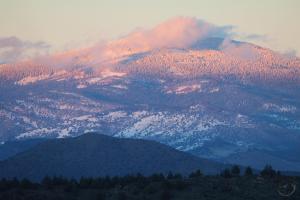
- Alpenglow highlighted the snowy conditions on Willow Creek Mountain, the last high peak in the California Cascades, just south of the Oregon border.
On Wednesday the second round of the storm arrived and it packed a real punch. The snow dumped all day and by the next morning there was nearly 18 inches at my house. Though it was less than that in town, there was still a considerable amount of snow that had to be removed. It did make for some great, Christmas conditions though!
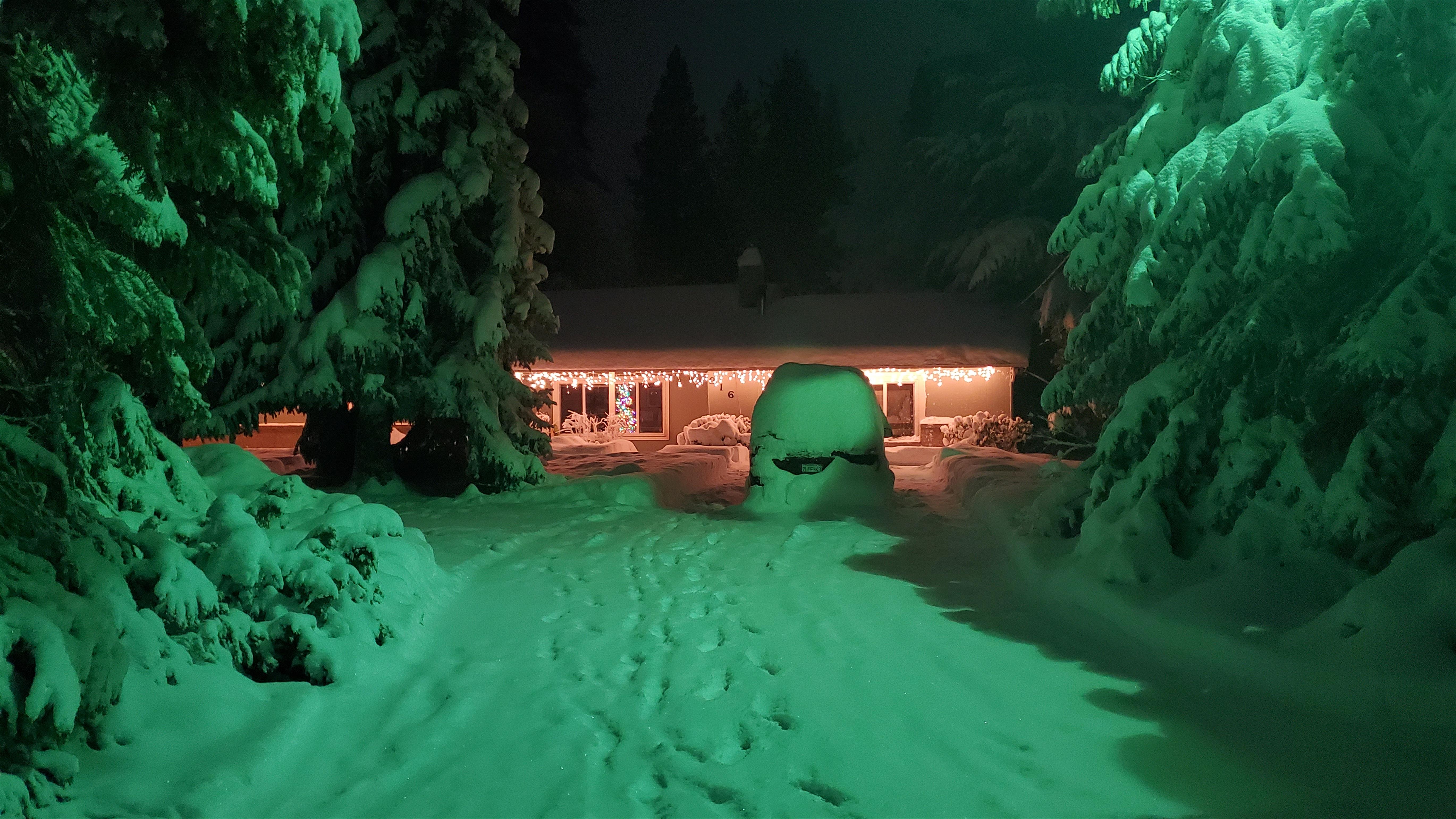
Christmas glow at the Hike Mt Shasta house.
Plowing all our numerous driveways, as well as those of the cabin across the street, took a while. Fortunately my oldest son is big enough to run the snowblower these days and he and I split the duties. My wife was stuck down in Redding by the weather and had to spend the night since I5 was closed. Too many big rigs attempted to get through the mountains and spun out, making the freeway something of a disaster area. Thankfully, I5 reopened the following afternoon.
-
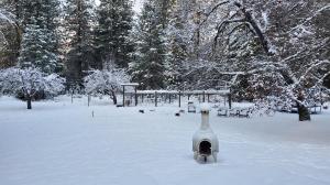
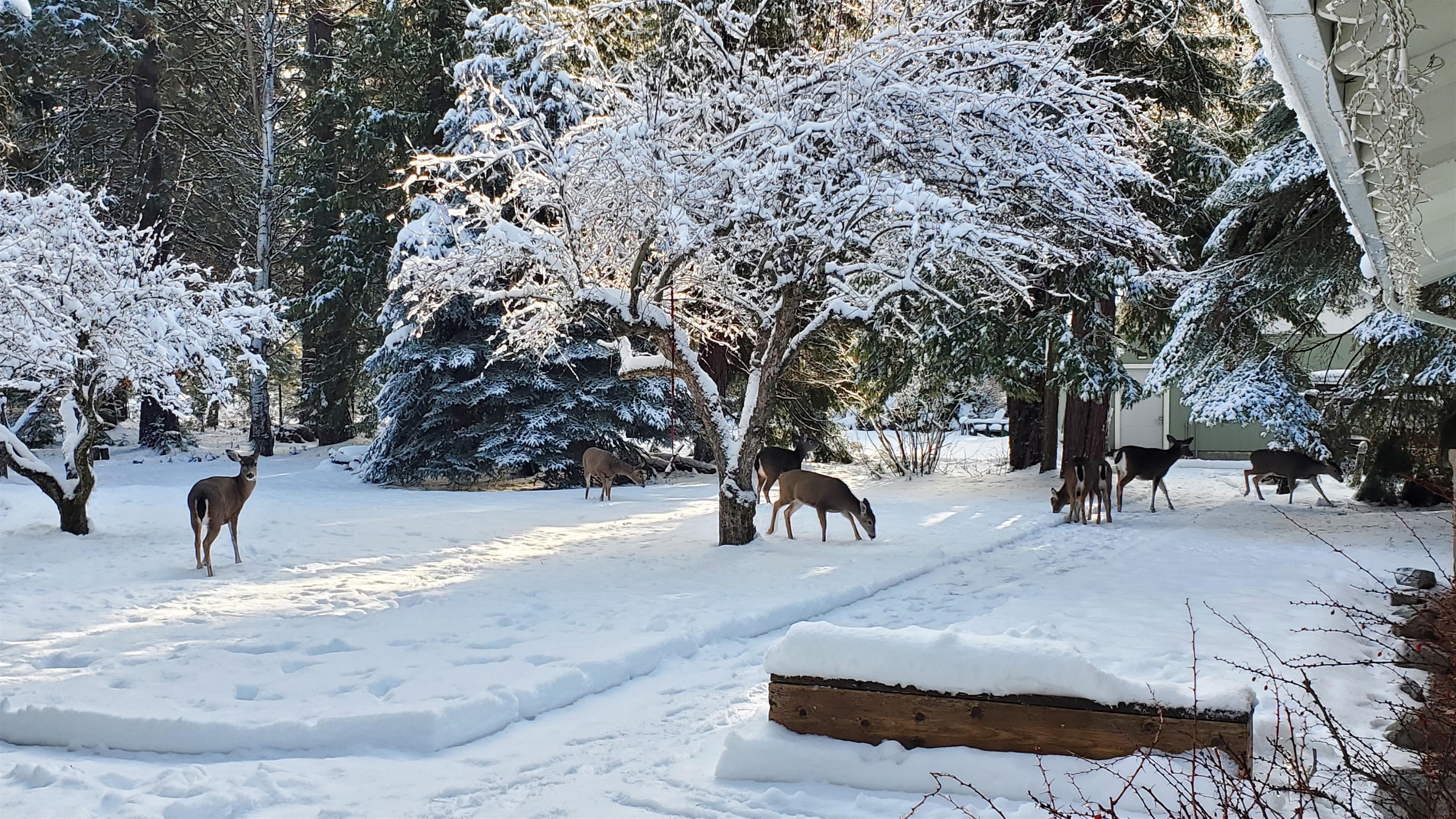
- Backyard after storm’s first pass.
-
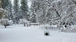
- Backyard after storm’s second pass.
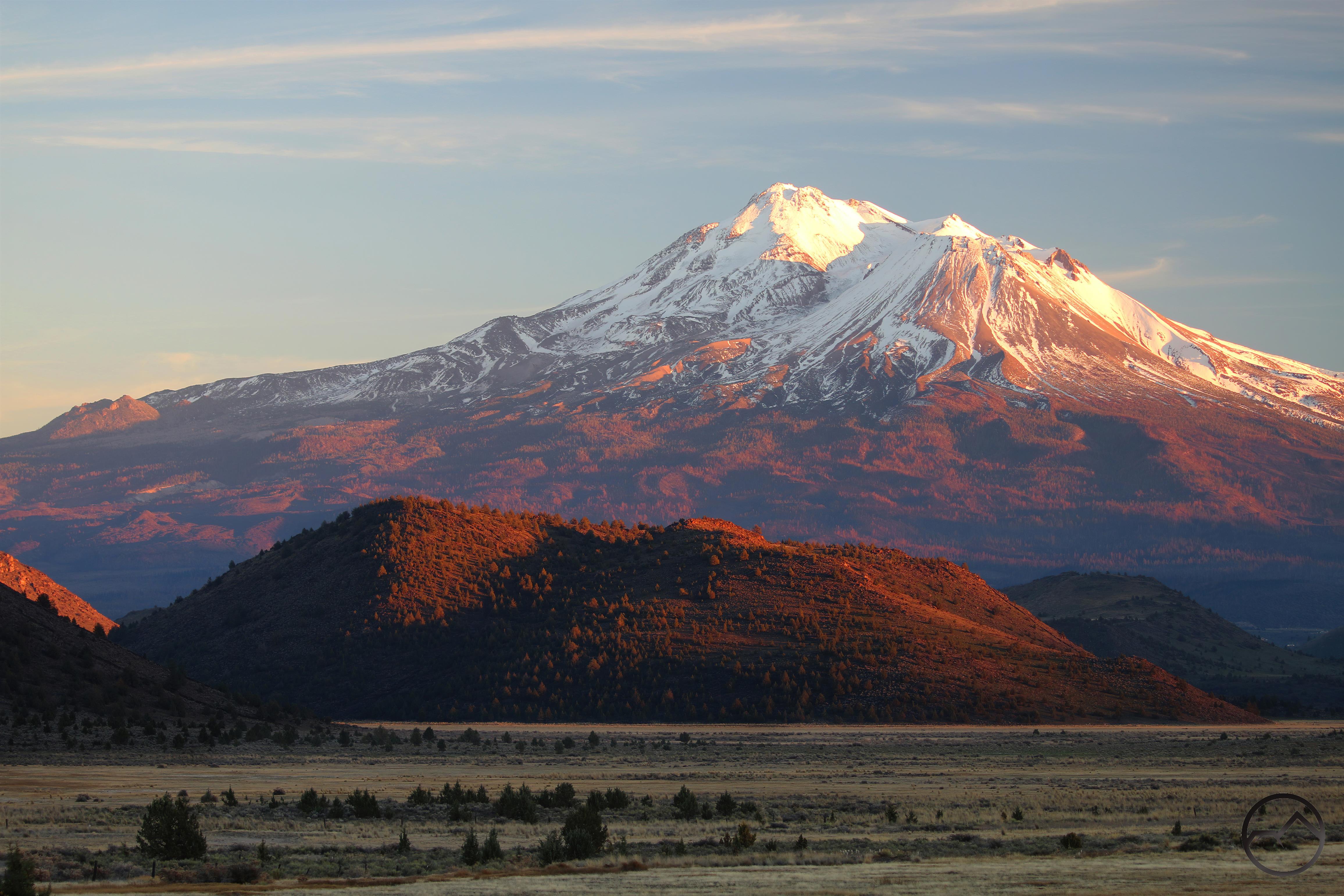
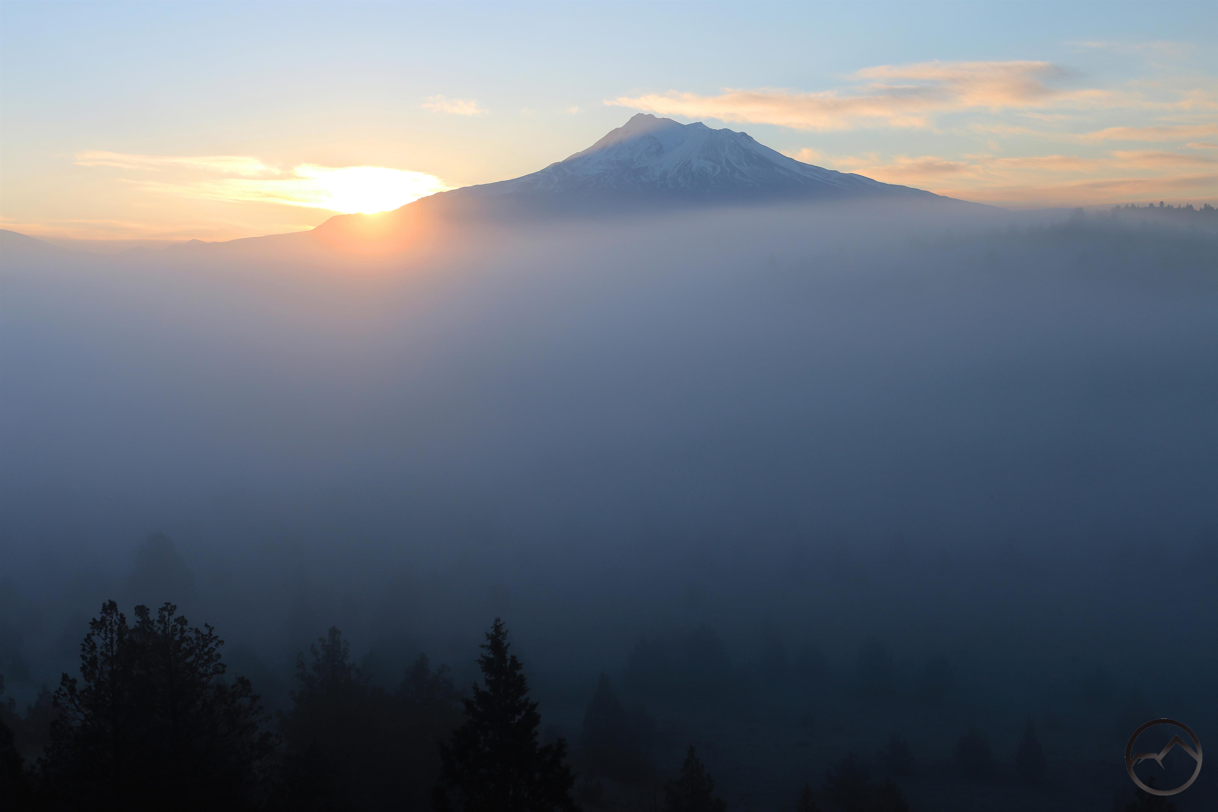
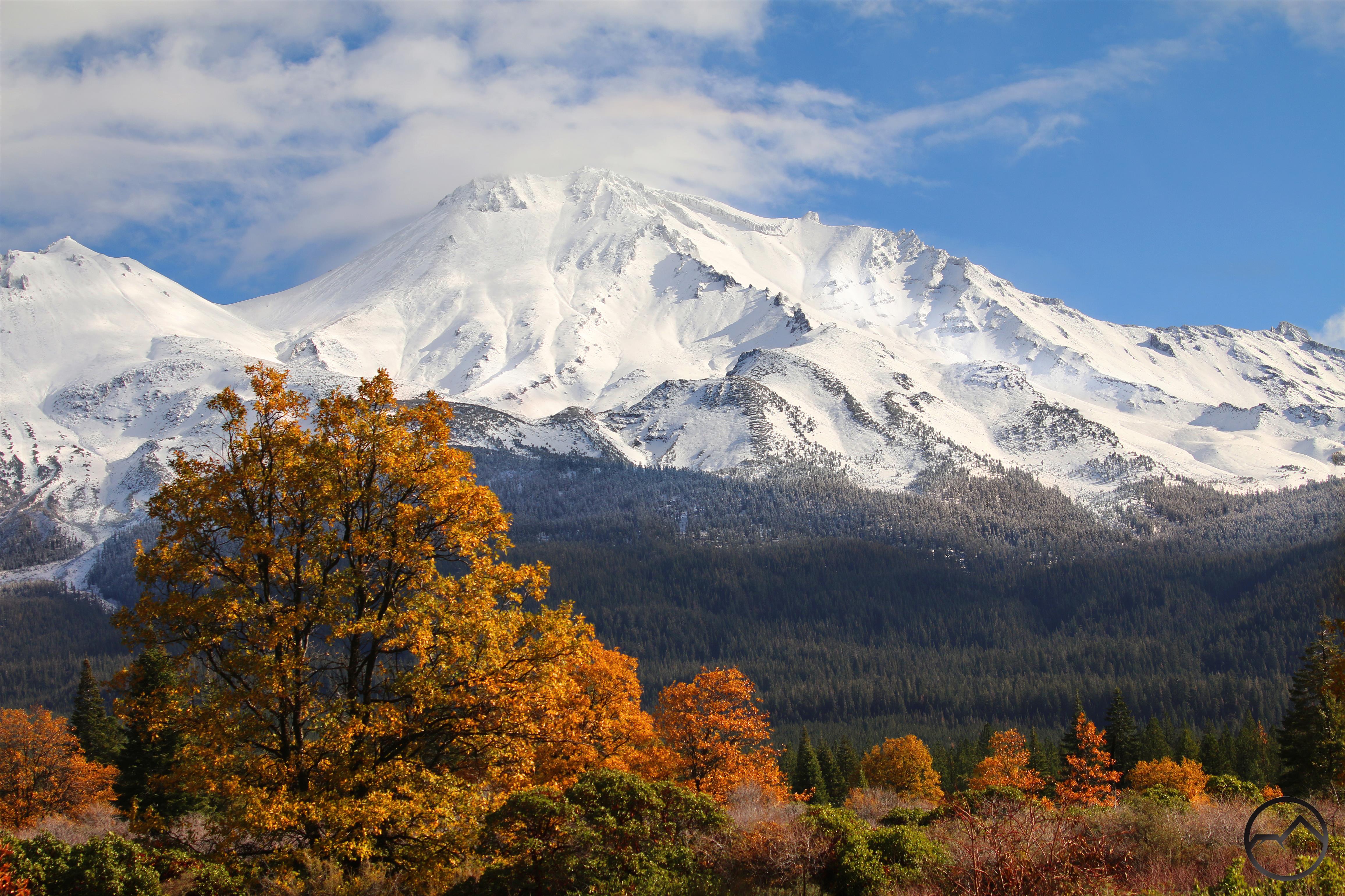
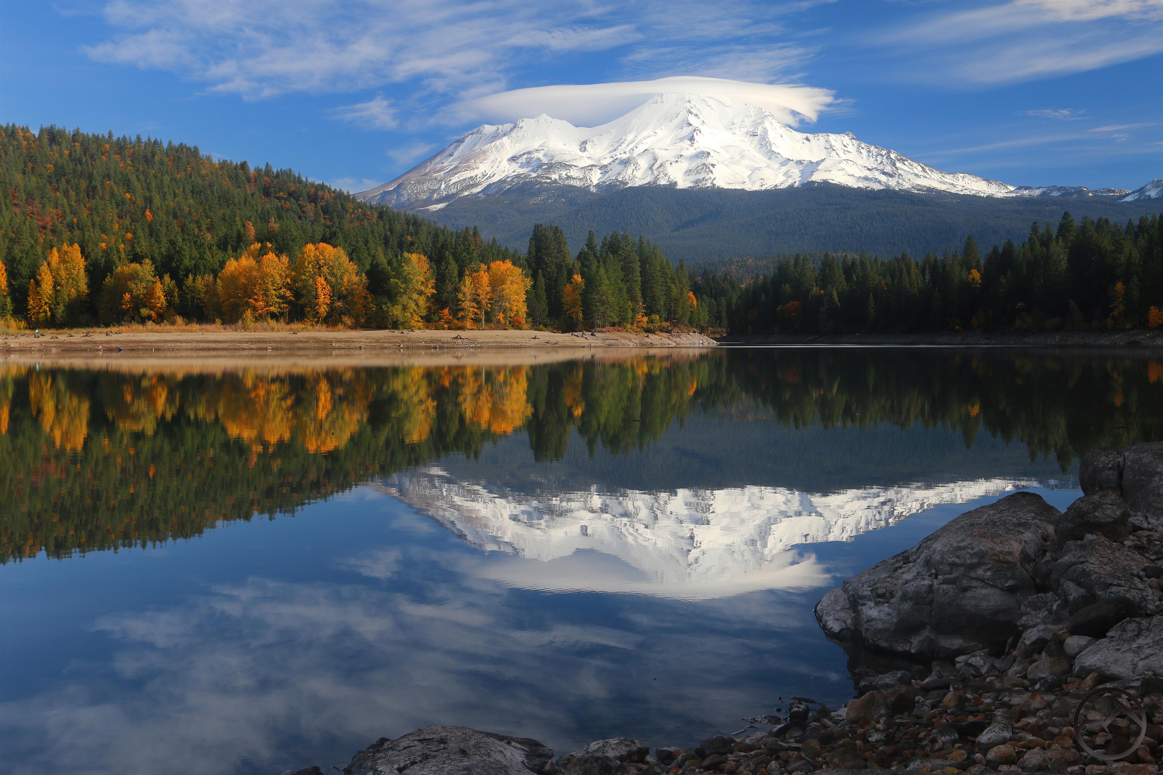
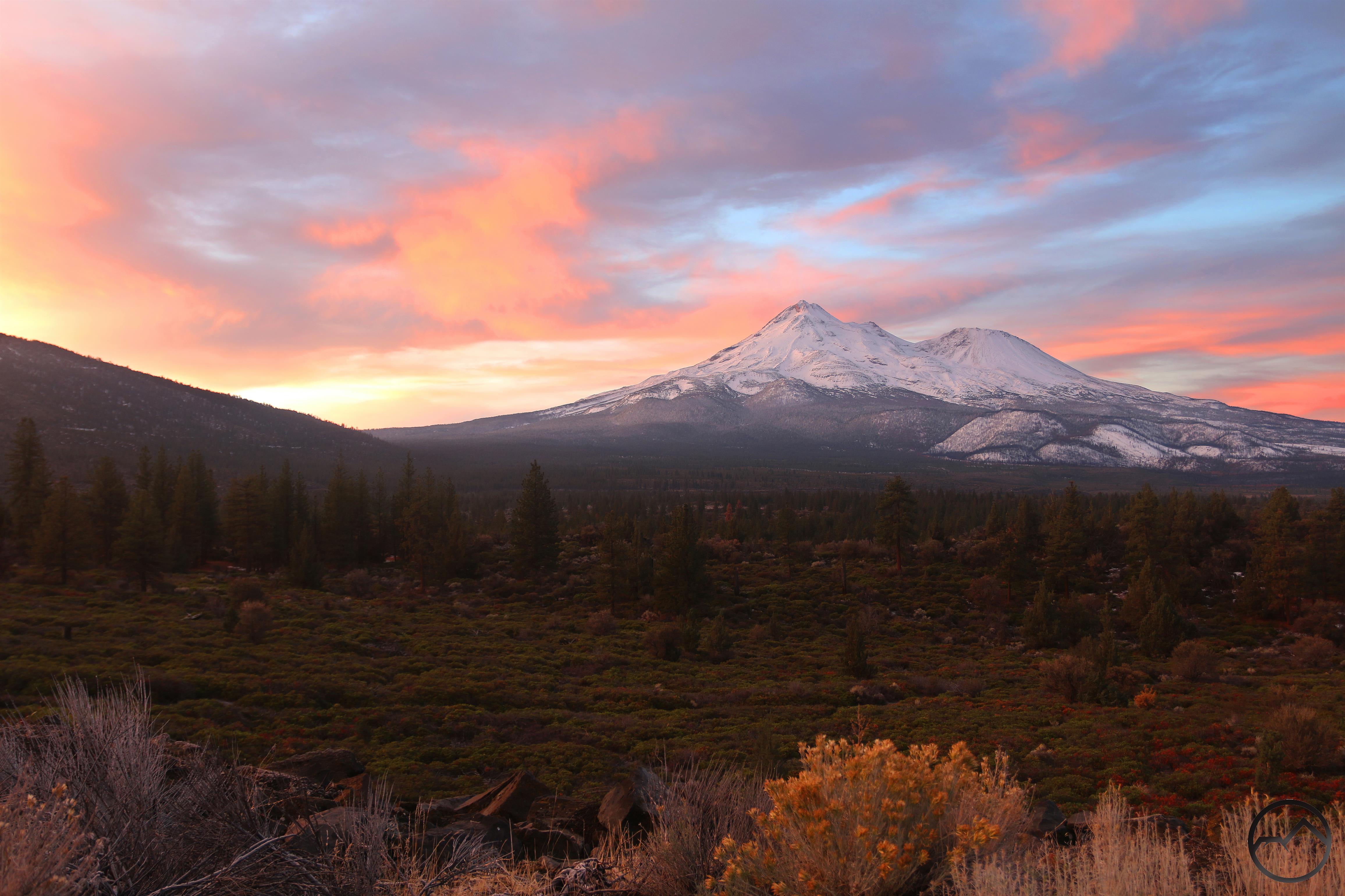
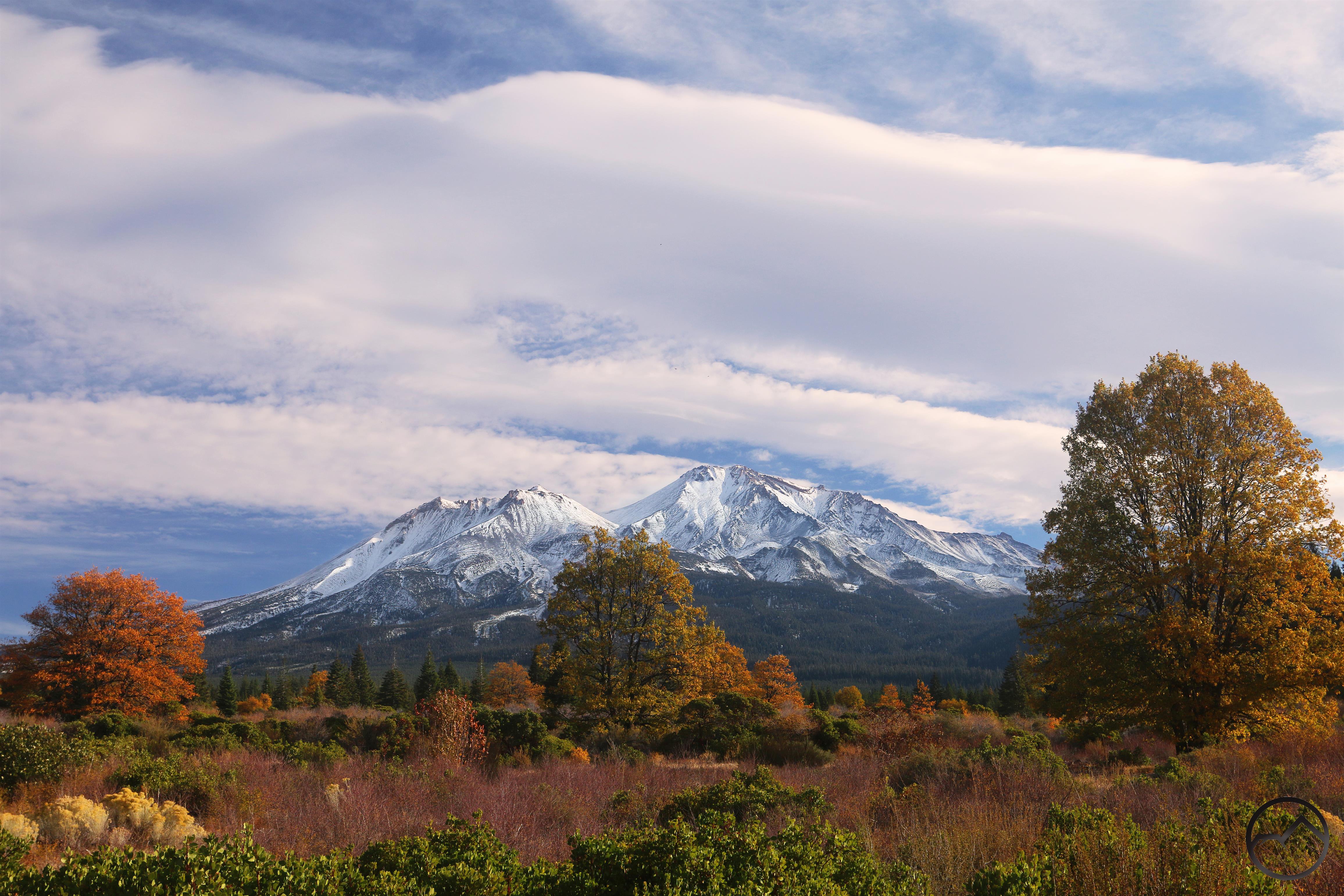
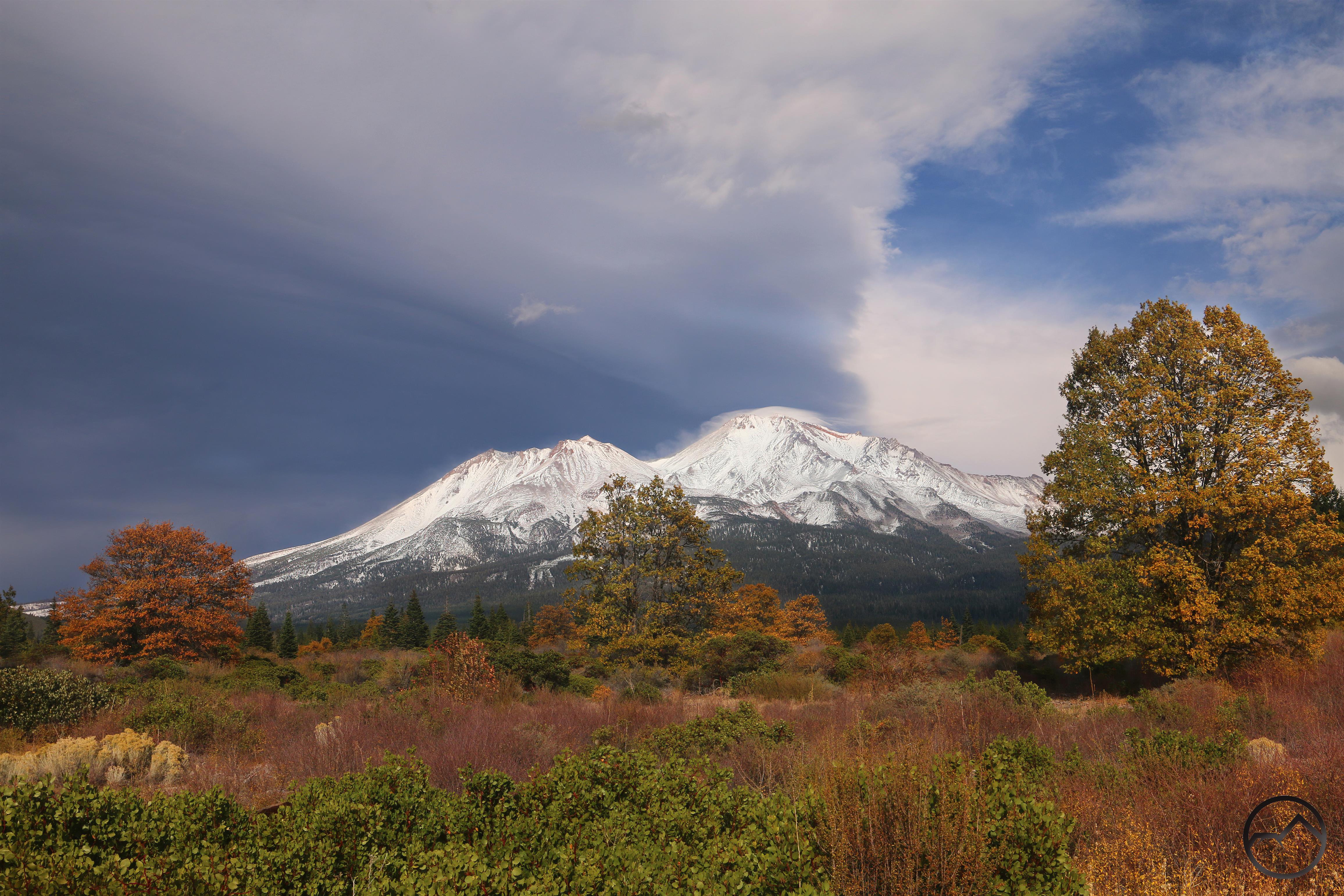
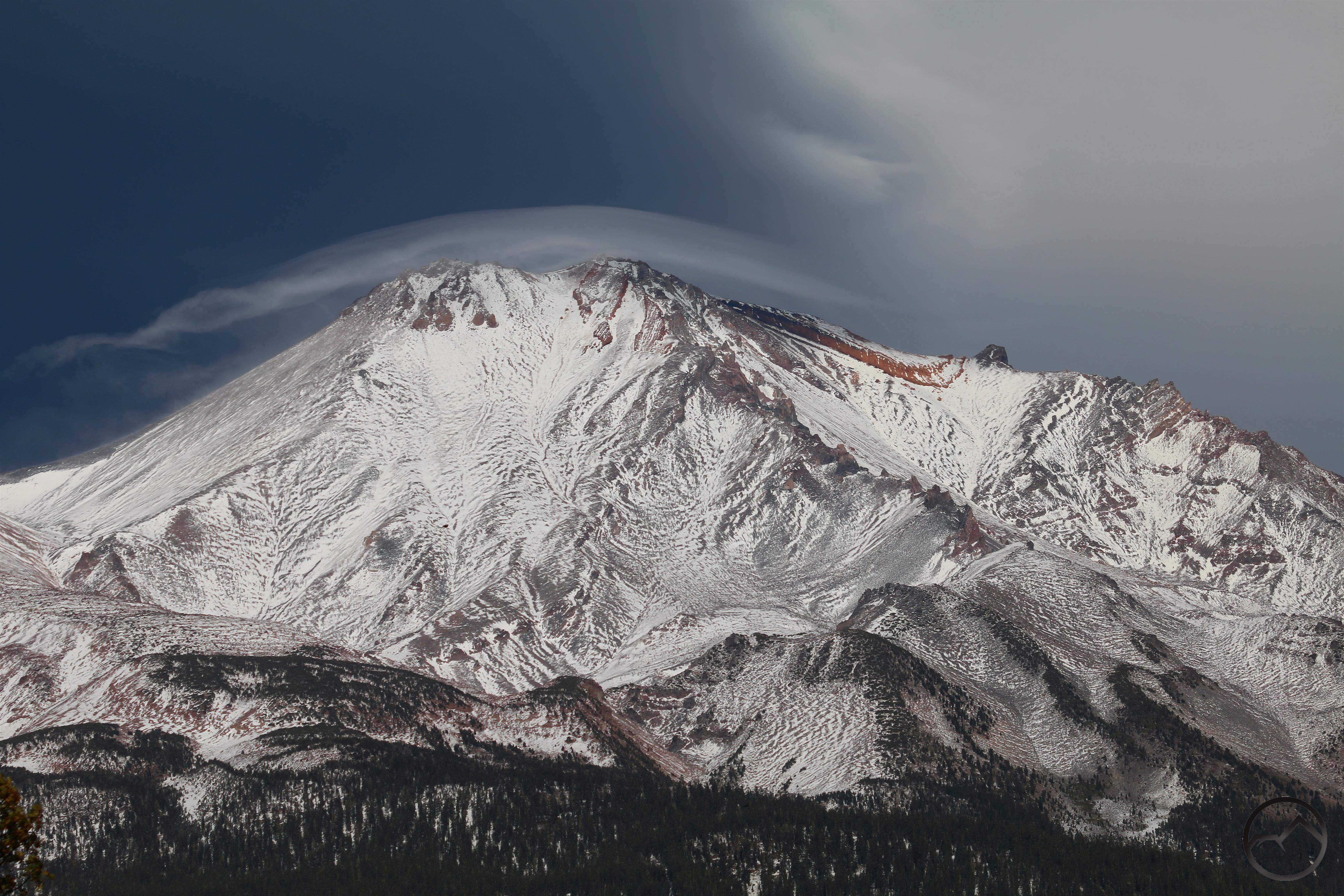
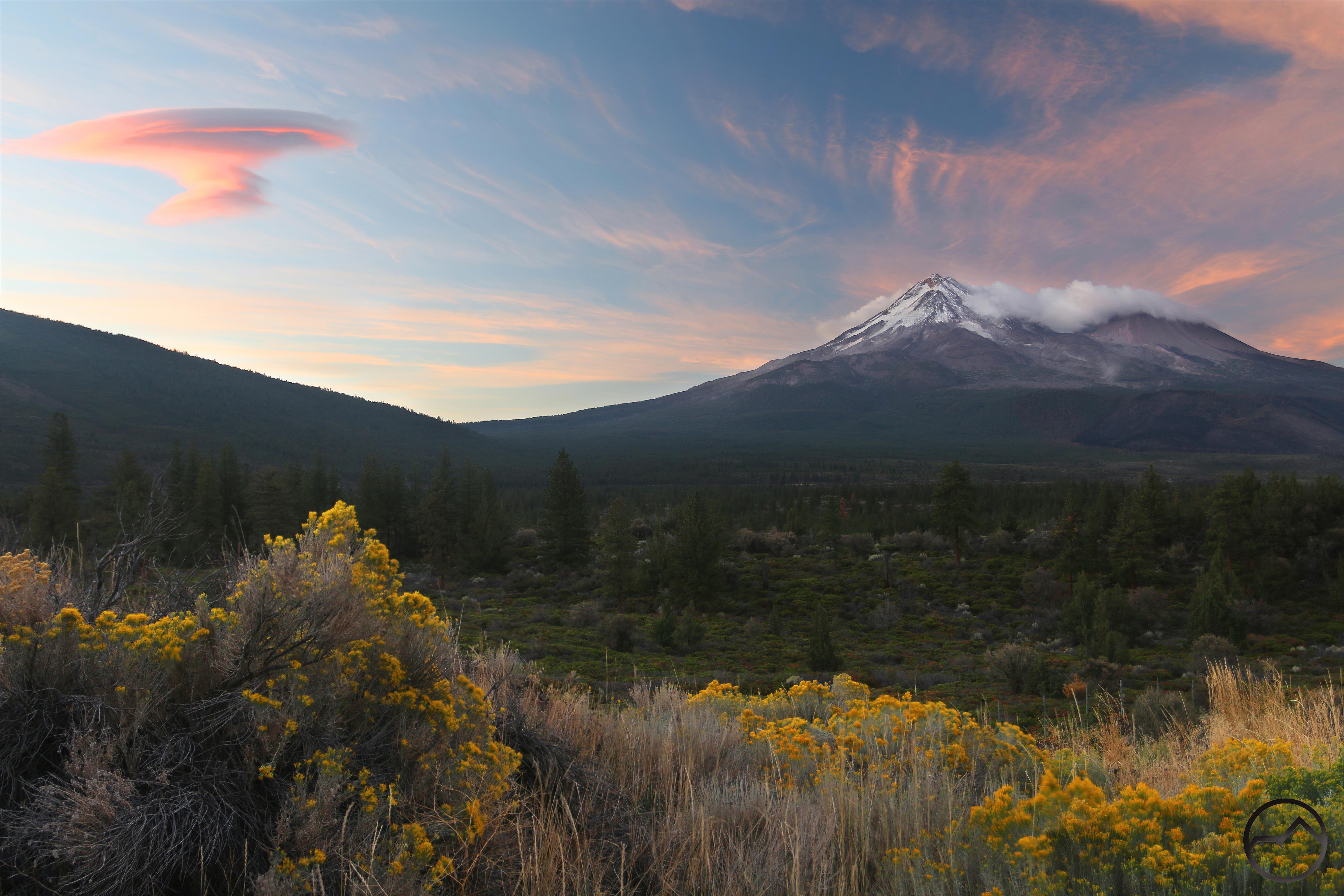
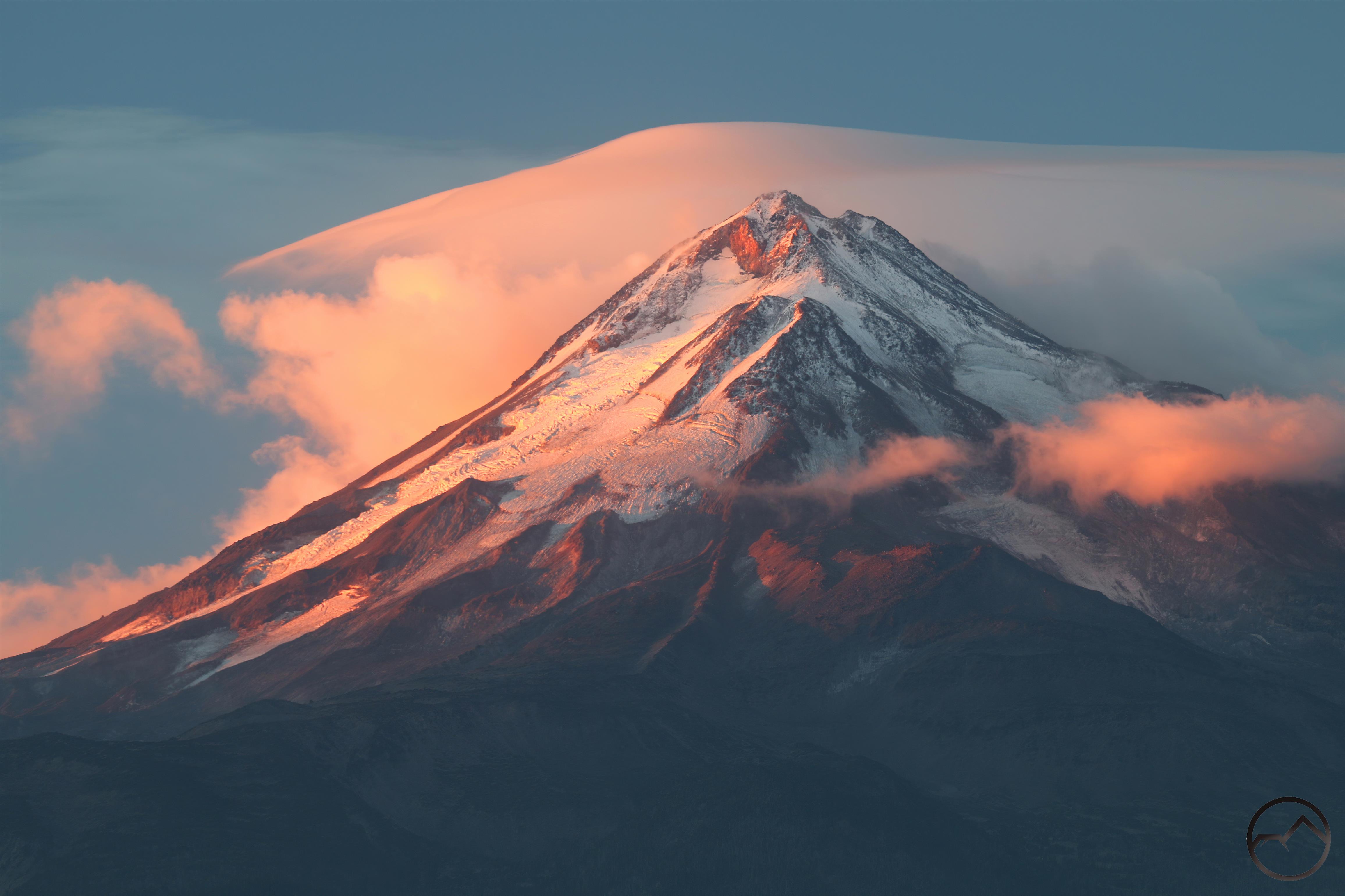
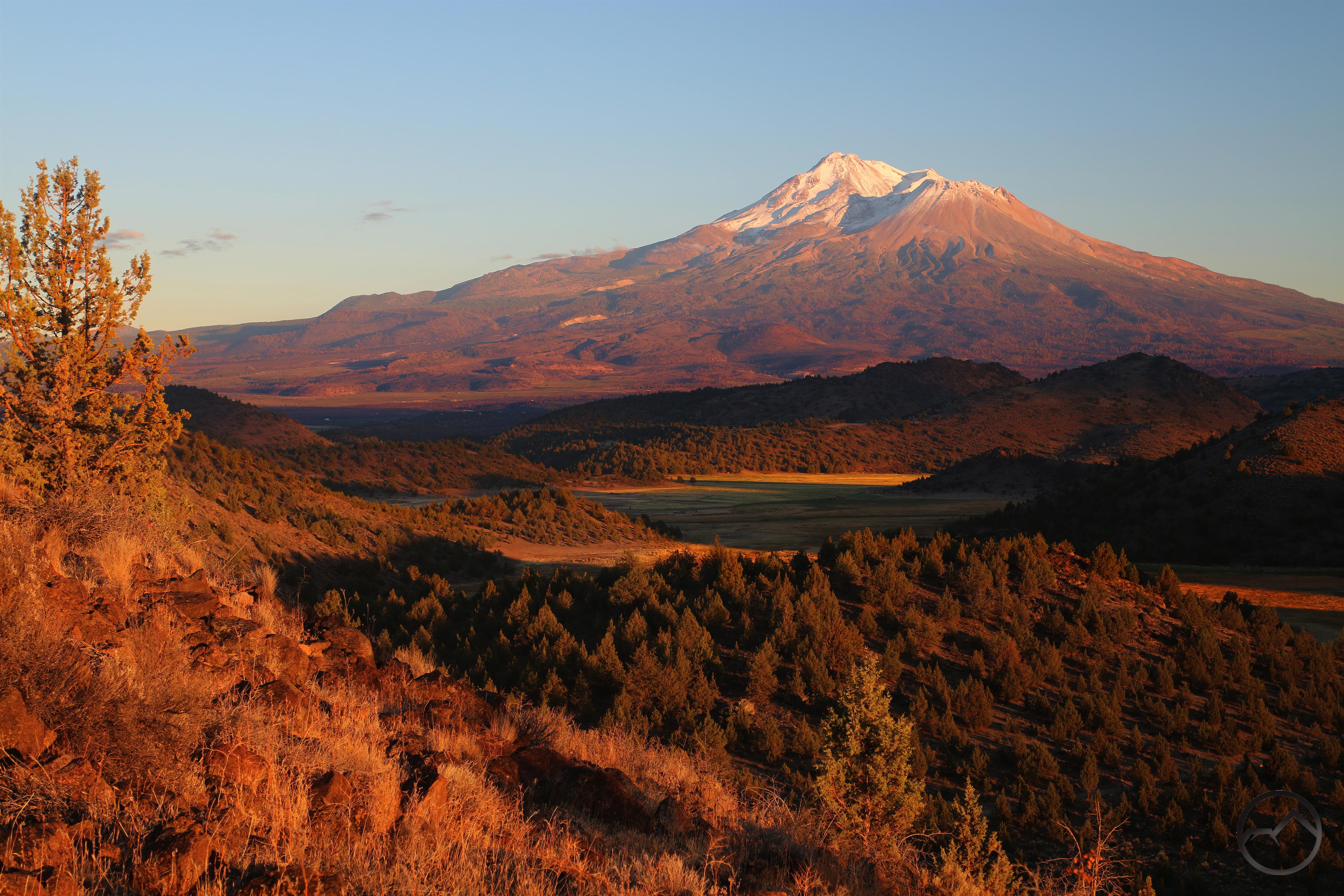
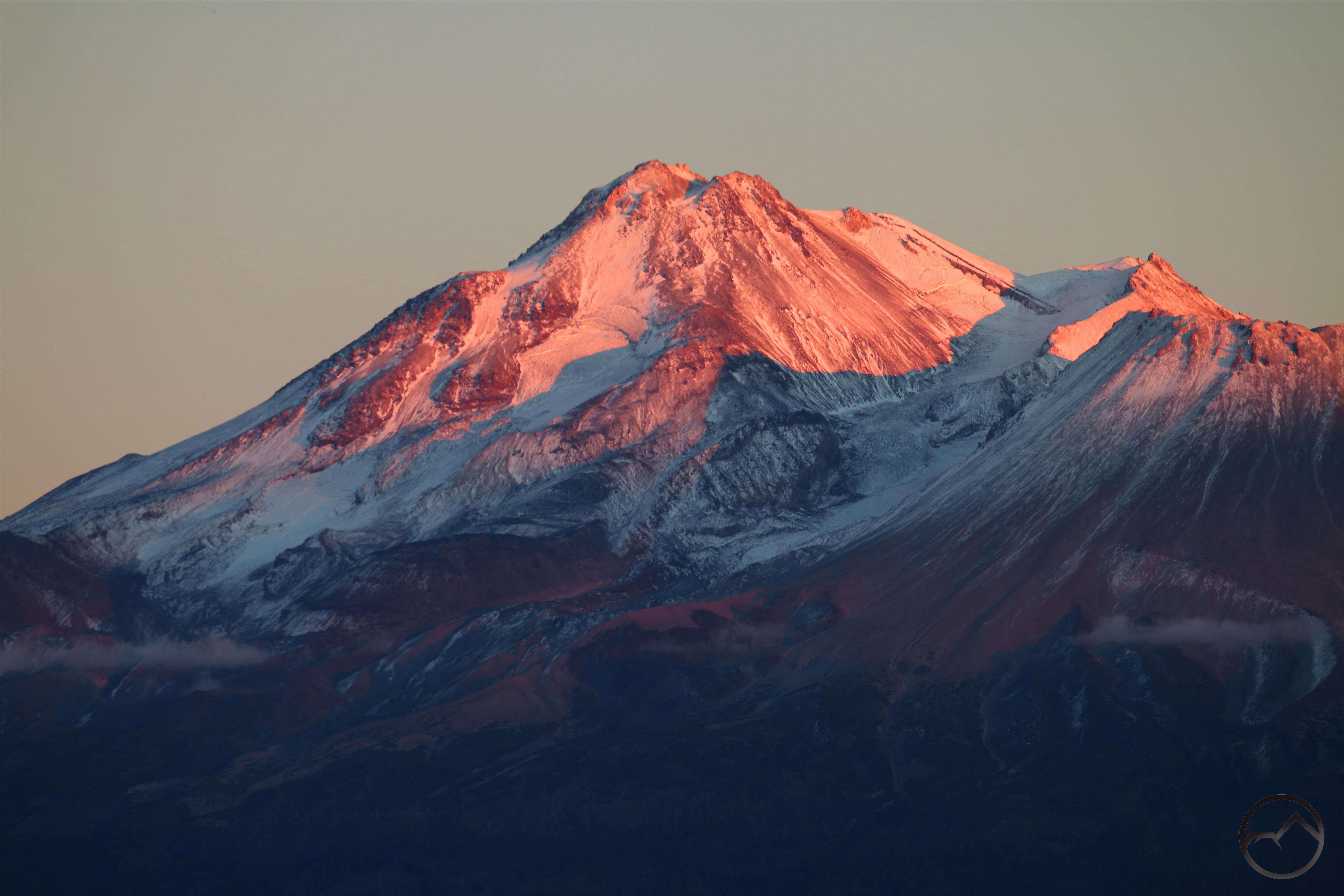
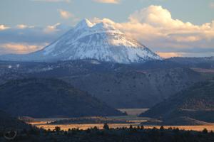
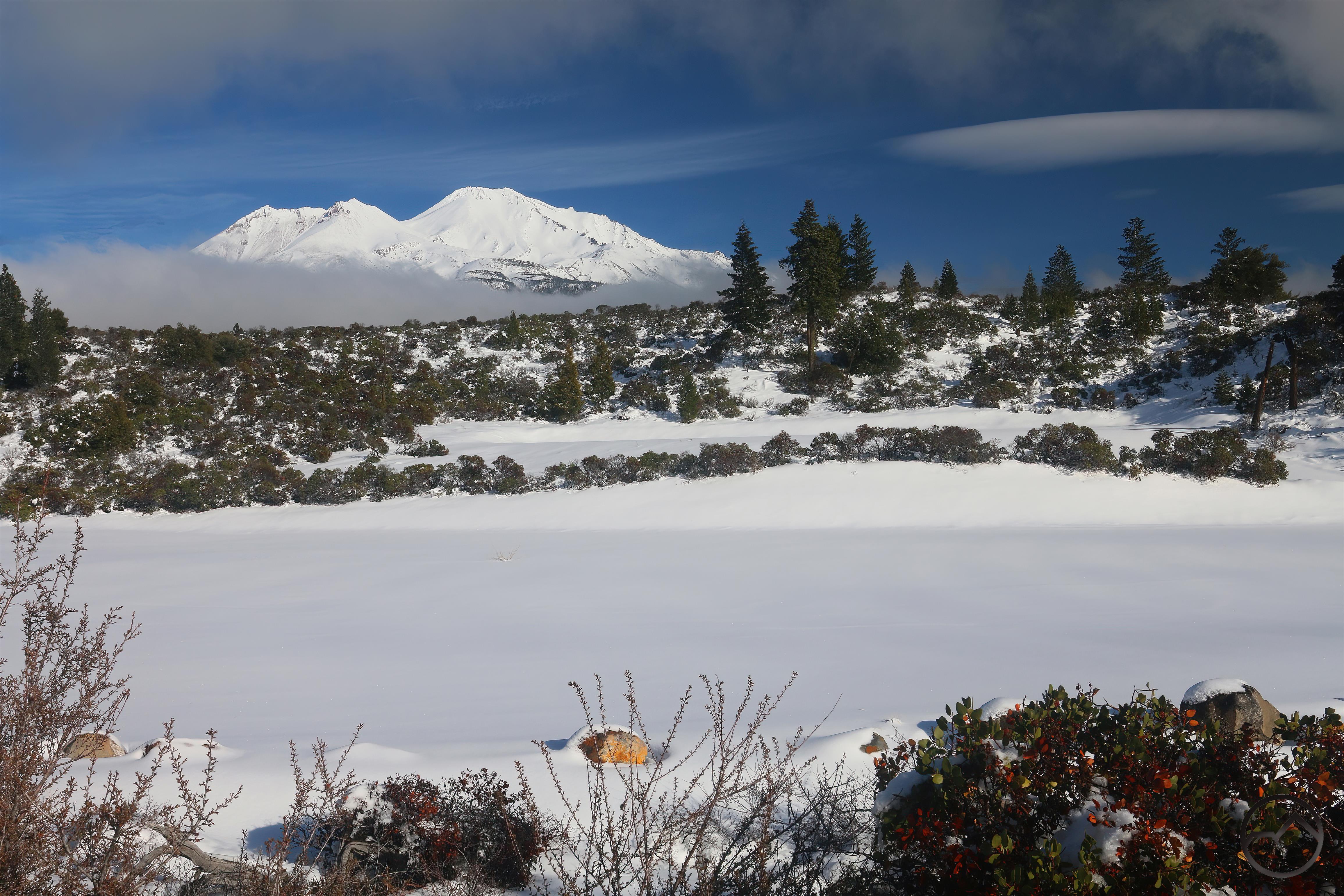
Friday was a bluebird day, with the white snow contrasting against the gorgeous blue sky. It was marvelous. The ski park opened too and I can only imagine what a zoo that was. They reported 20 inches of snow on the slopes. I didn’t ski but I did head into town and, on the way back, I had to stop and capture an image of Mount Shasta on this glorious day.
There is another week of snow coming, running through Christmas. Round 2 should bring a fair amount of snow on top of what we already have. It feels like an early Christmas gift from God!