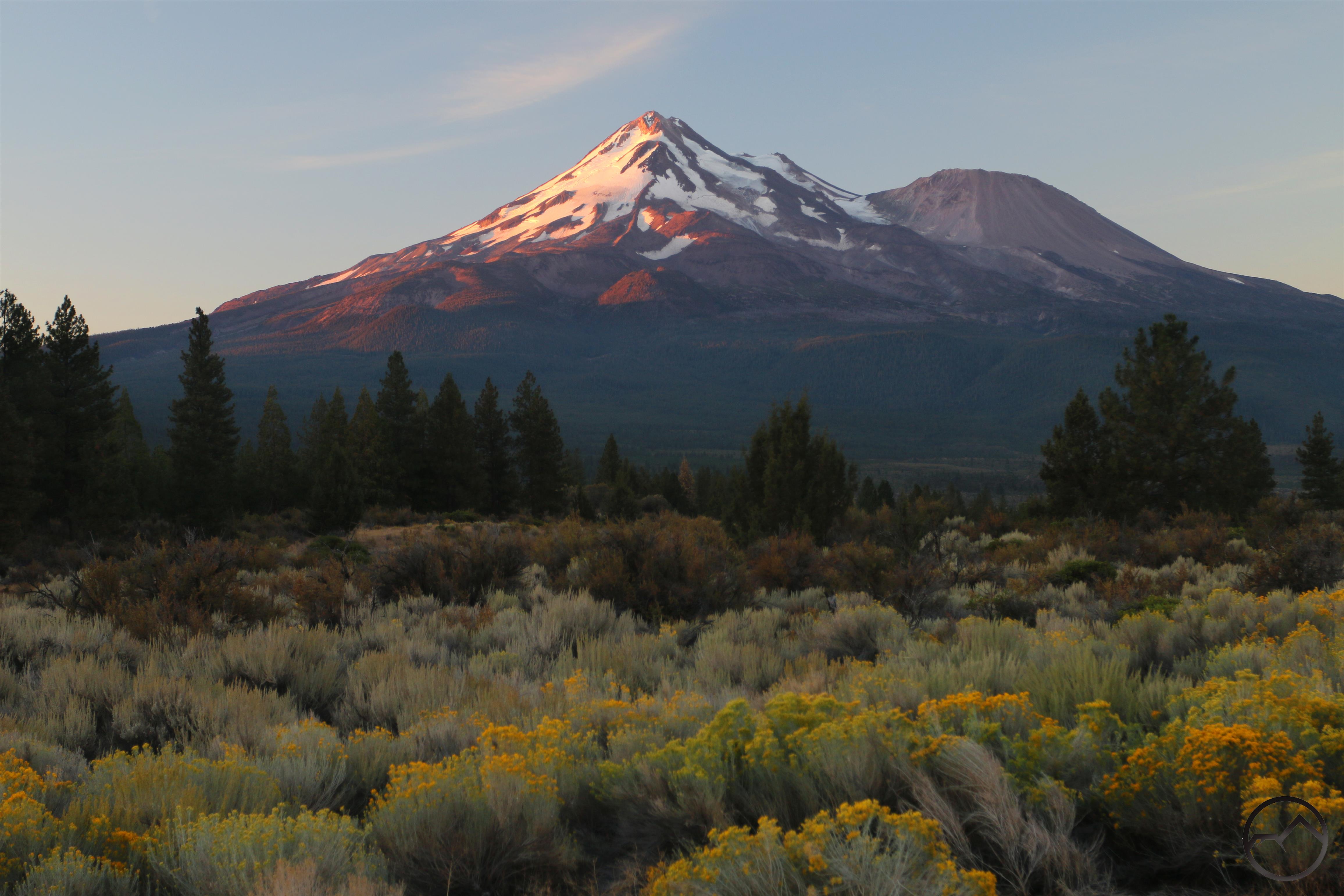
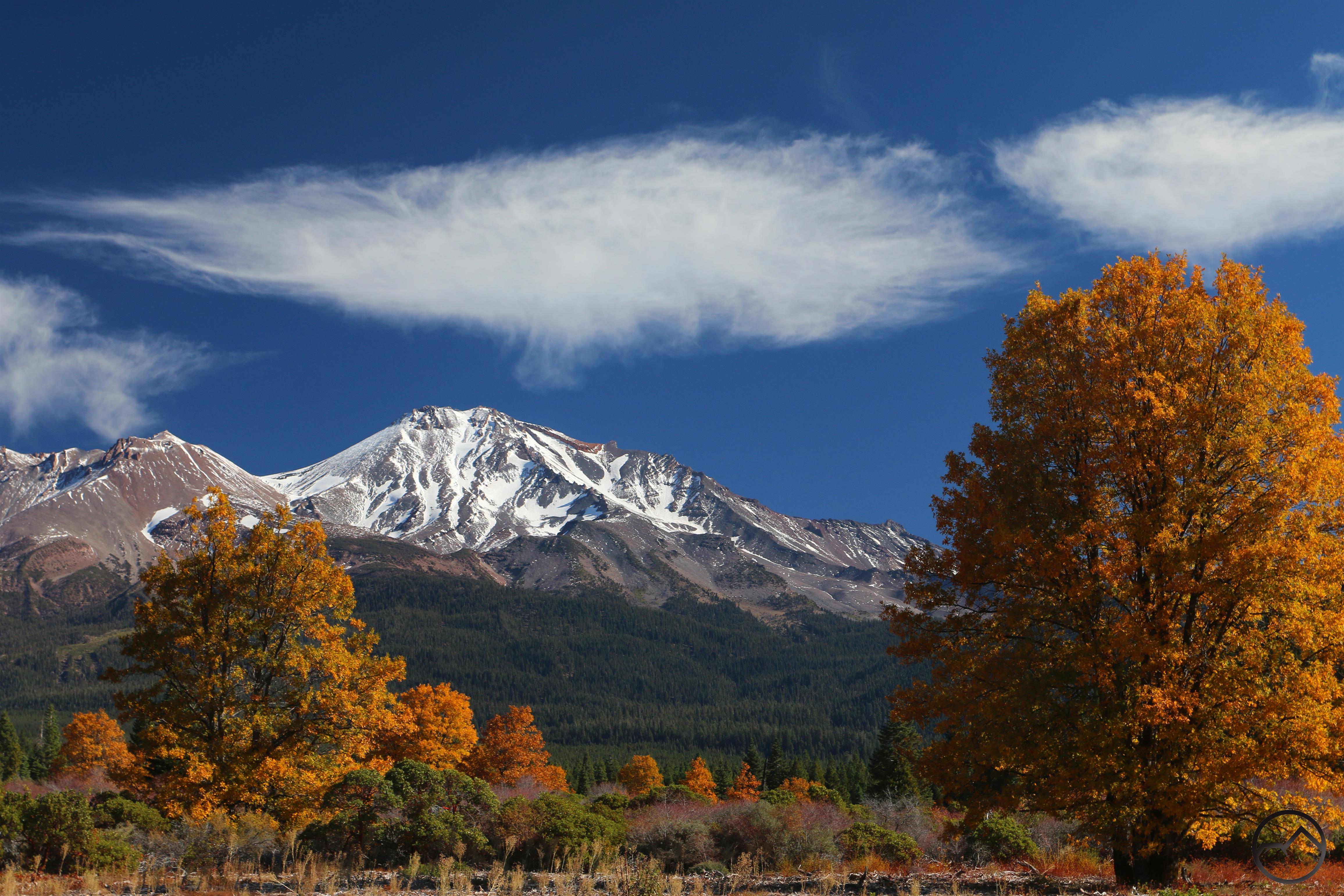
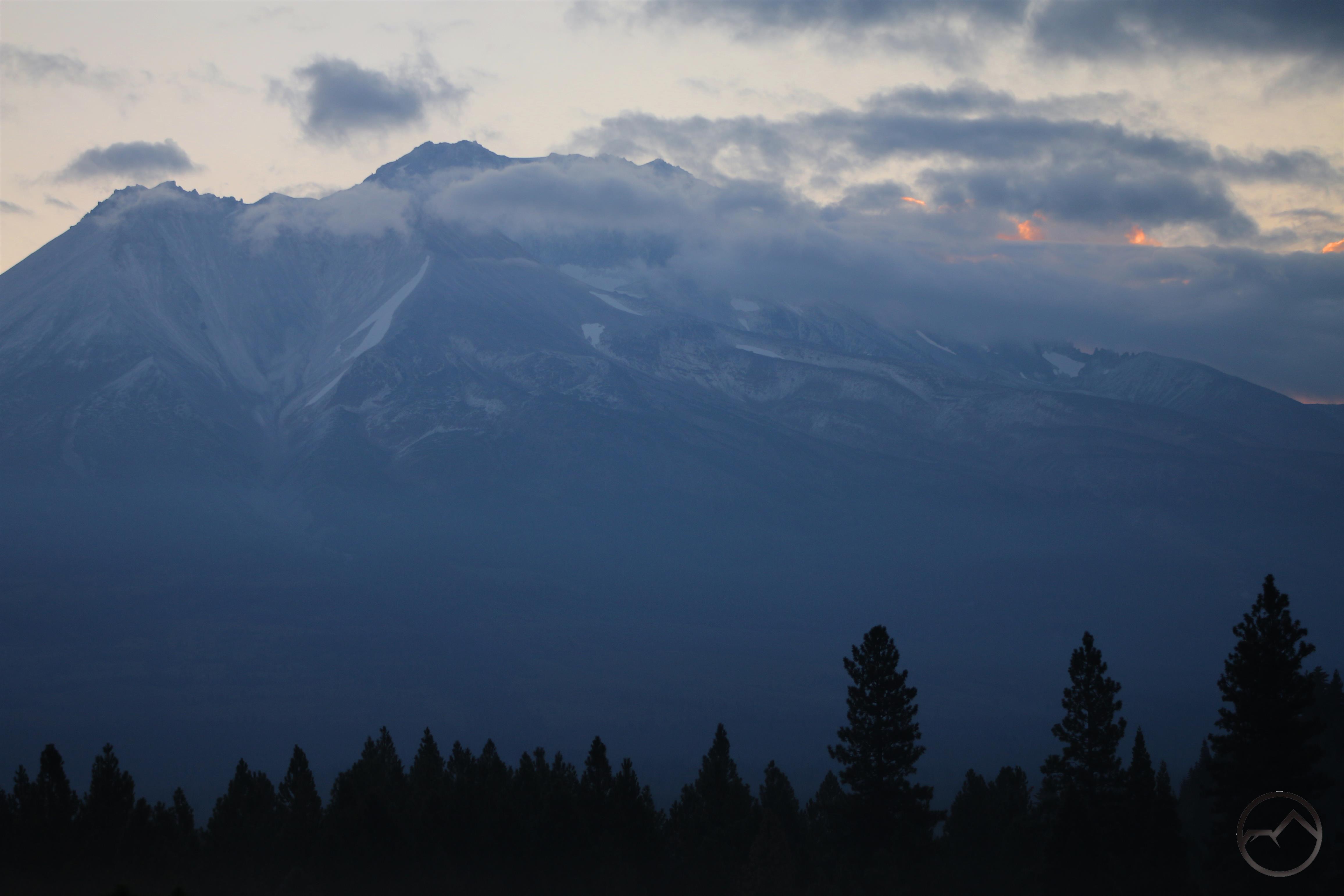
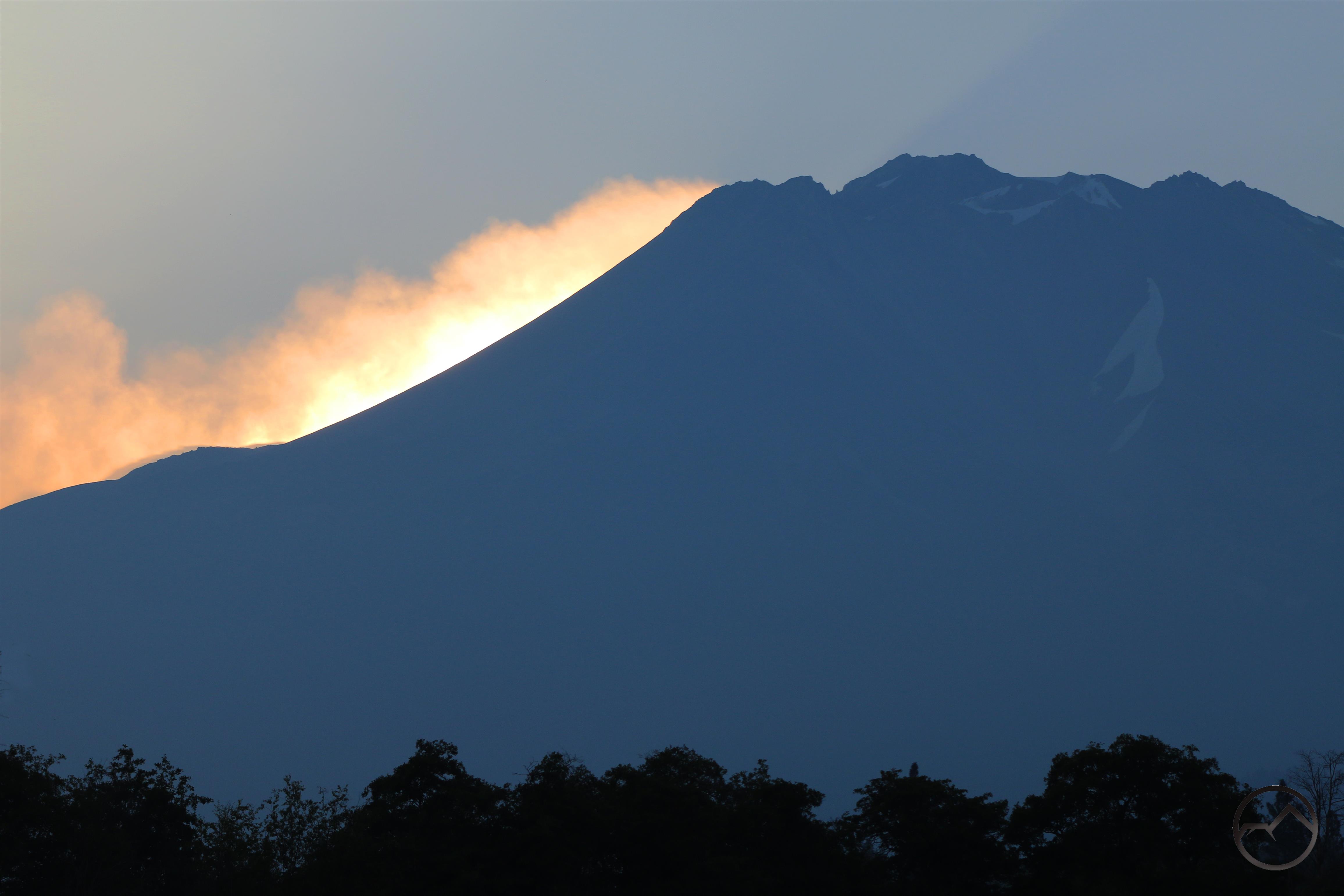
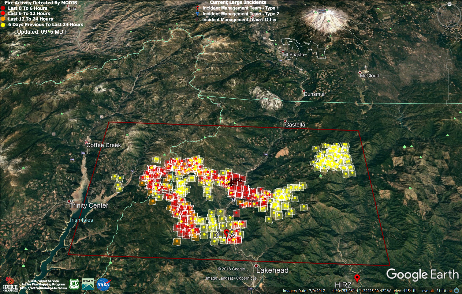
Blooming rabbitbrush is a colorful foreground to Mount Shasta and 3 of its massive glaciers.
The Mount Shasta area is vast and varied. It is a delight to all those who love the natural world and yearn to enjoy it. However, exploring Mount Shasta and its environs can be a daunting task, especially to admirers who have not spent much time in the area or have not had the opportunity to dive into the literature that records many of the areas blessings. This reader is intended to pull together several articles and resources that have appeared on Hike Mt Shasta over the years and place them together in an easy-to-access setting. It is my hope that this will be a useful tool for deepening knowledge and appreciation of Mount Shasta, the surrounding mountains and all of Northern California!
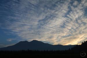
Northern California Geography Orientation
 California is probably the most geologically diverse state in America. This in part naturally flows from it’s size but there is also an immense amount of diverse geology packed within its borders. The North State, which is the uppermost part of California, maintains this pattern and presents a confusing array of rock types, numerous mountain ranges and a wide variety of geologic forces at work. This series, “Breaking Down The North State”, offers a good introduction on the geography, geology, and various regions that surround Mount Shasta.
- Introduction
- Seven Major Regions
- The California Cascades
- The Klamath Mountains Pt. I
- The Klamath Mountains Pt. II
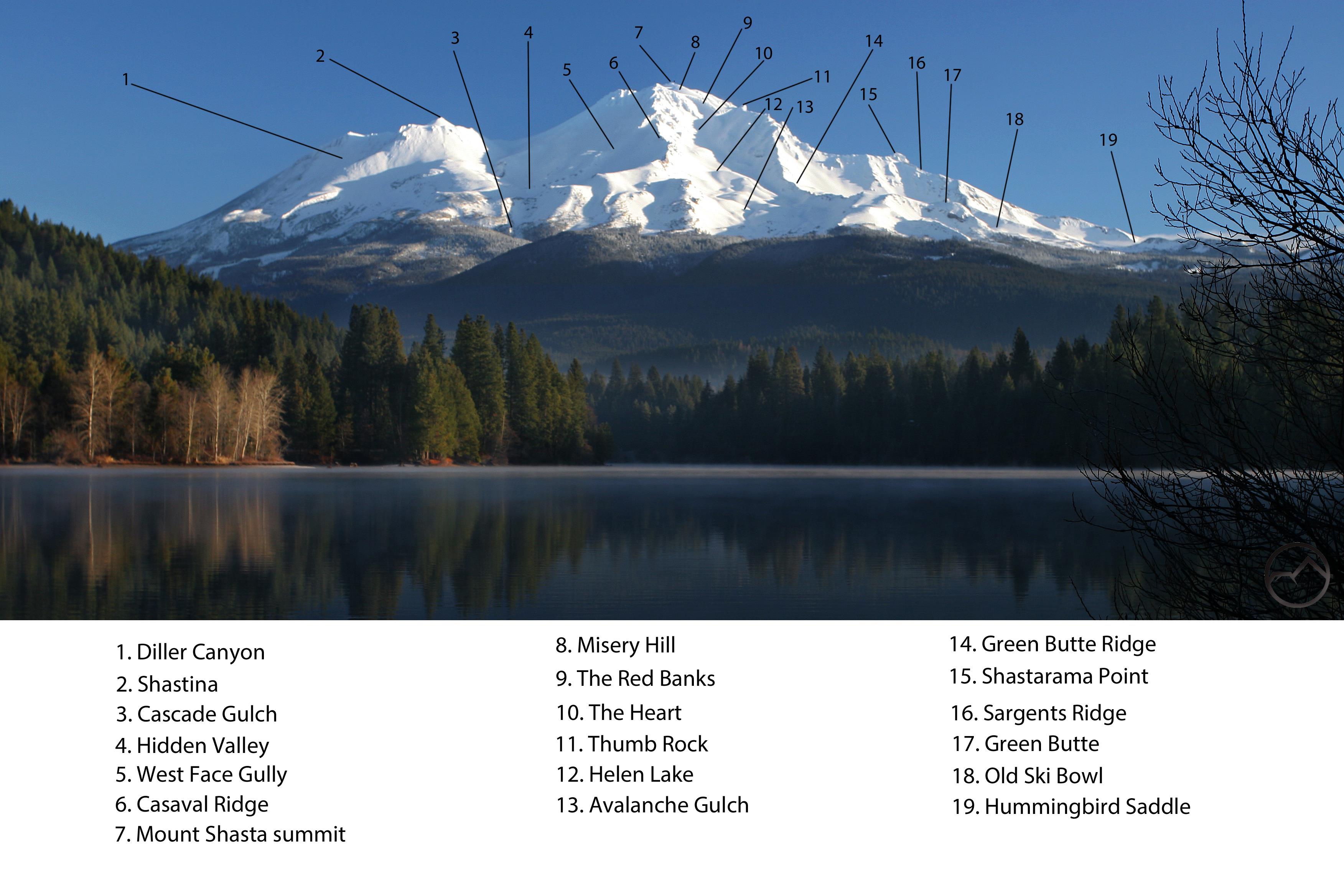
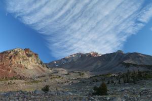
Mount Shasta Landmark Locator
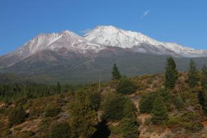
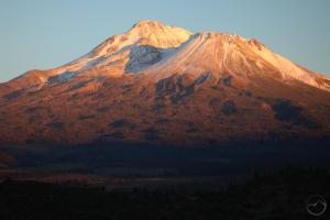
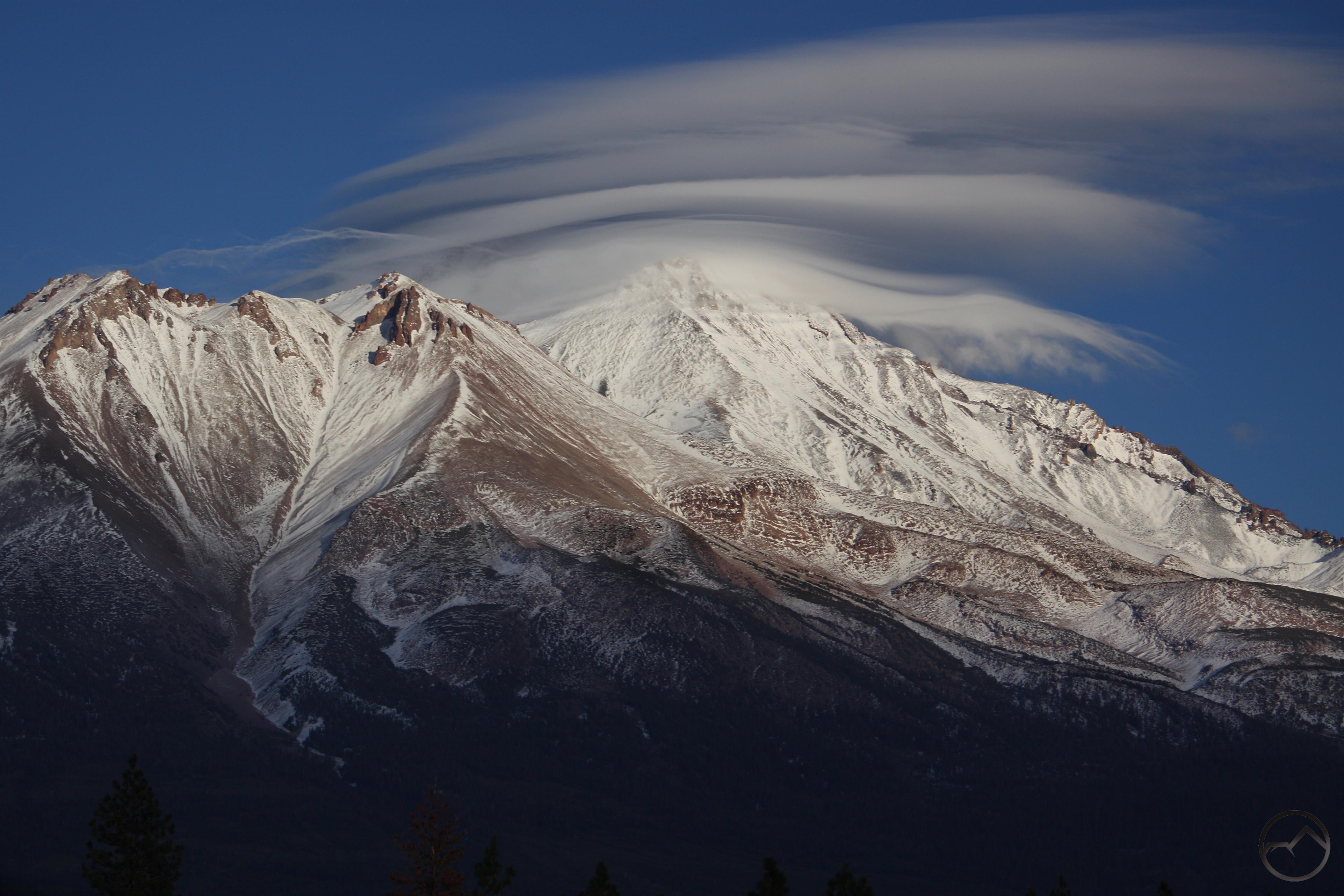
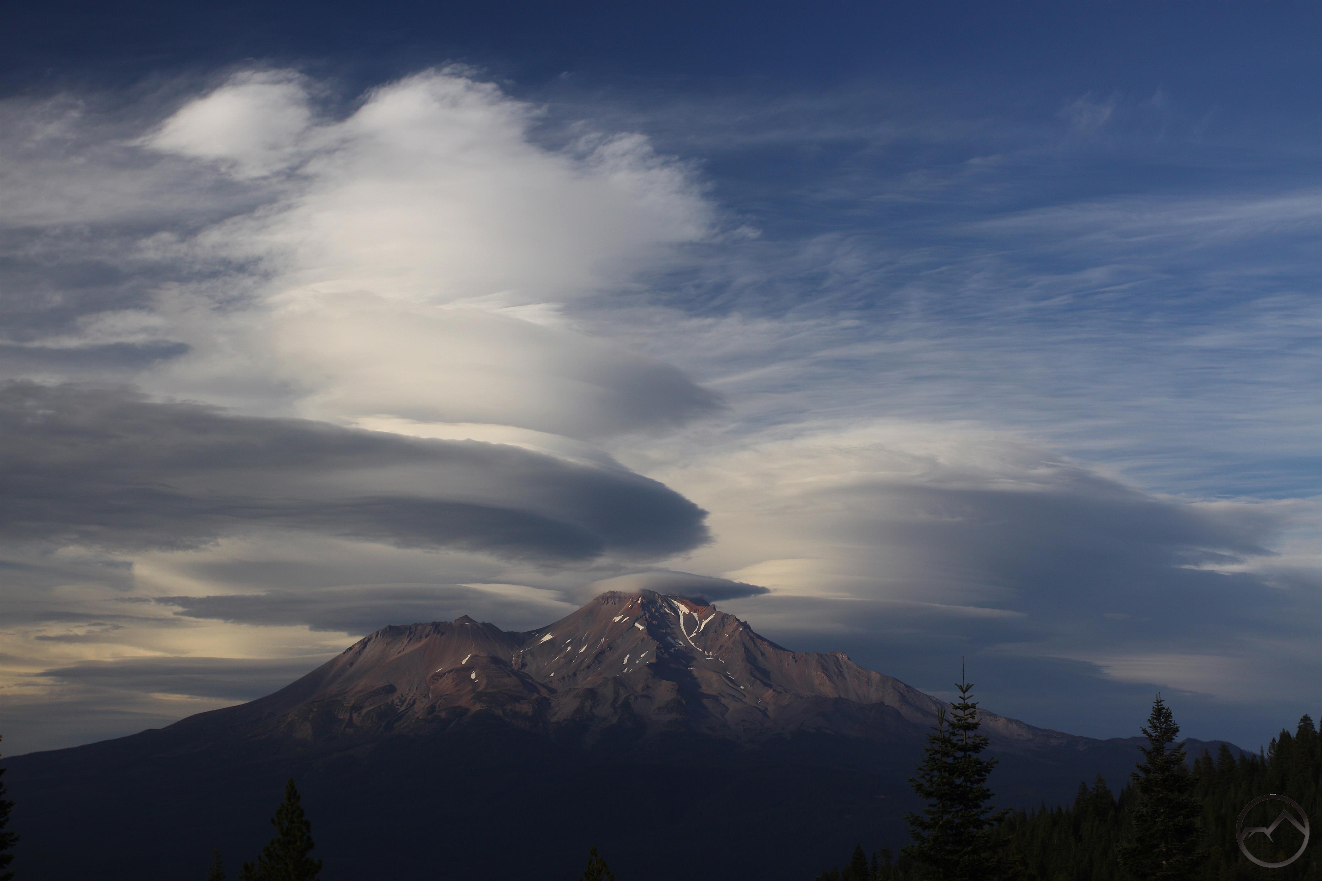
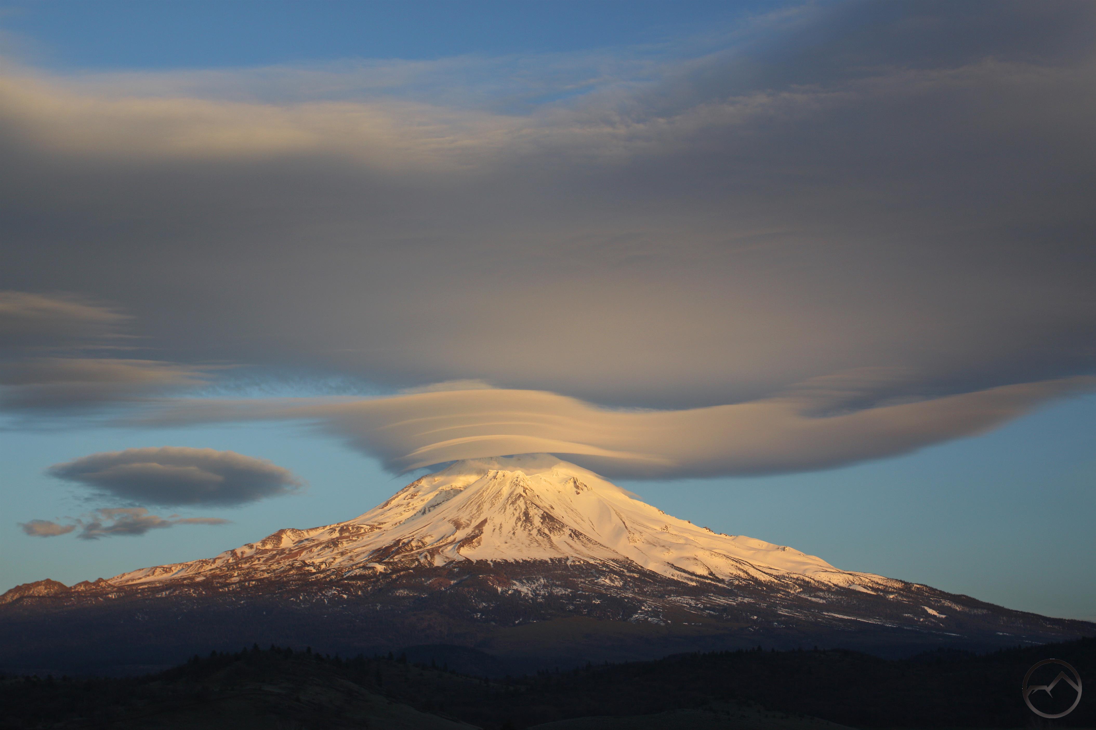
Mount Shasta nearly a mountain range unto itself. There are dozens of landmarks and features waiting to be identified, though there are few easy to use resources to help. The Mount Shasta Landmark Locator can be helpful in learning the mountain’s geography. The Locator has detailed guides to the 4 cardinal orientations of the mountain. This is particularly helpful considering how distinctly different Mount Shasta appears from these perspectives.


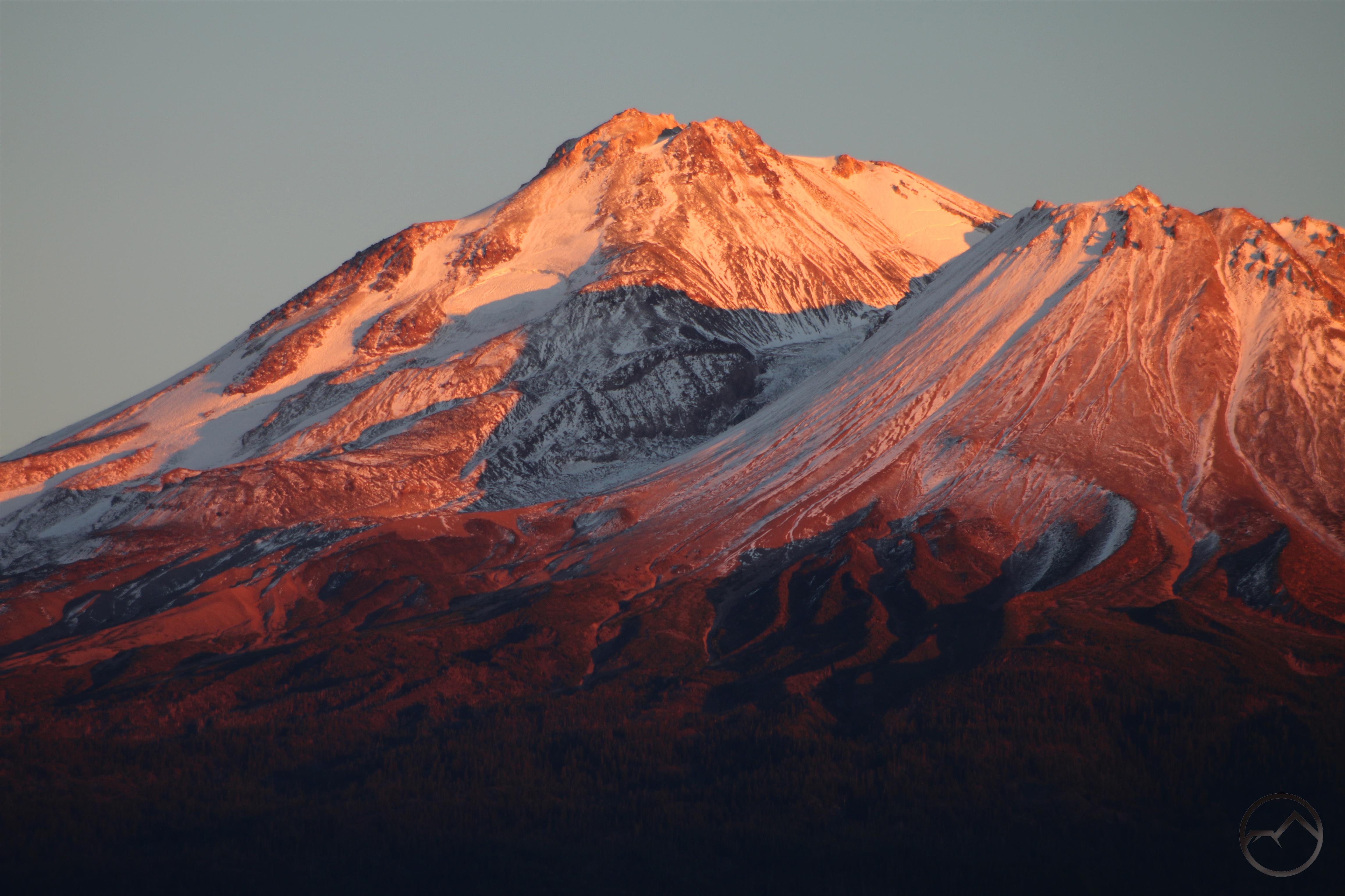
The impressive number of landmarks on Mount Shasta is indicative of the mountain’s complex geology. The fact is, Mount Shasta has experienced 4 distinct eruptive epochs, each adding a major quadrant to the volcano’s geography. This has heavily influenced Mount Shasta’s distinct appearance. Read more about these 4 eruption cones here. This article is an excellent companion to the Landmark Locator and helps explain many of the features identified there.
An article that puts Mount Shasta into the broader perspective of Cascade volcanoes does so by comparing the elevations of treeline on numerous mountains found in the range. This emphasizes Mount Shasta’s incredible size.
Another article examines the fossil remains of Mount Shasta’s medial moraine. The Hotlum Glacier once advanced several miles further than it does now, producing a medial moraine, the only one known to have existed in California.
Neighboring Peaks

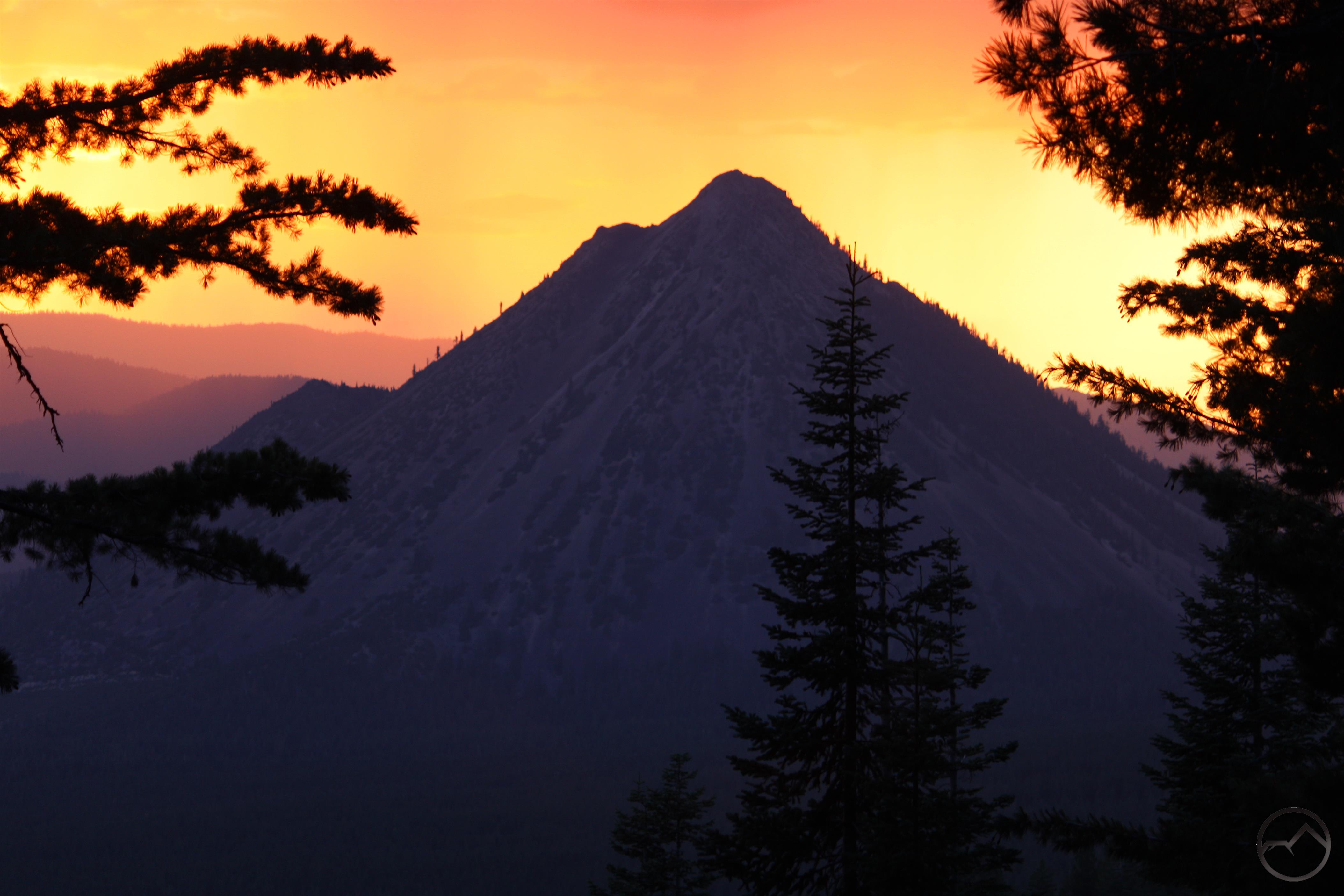
Mount Shasta may be the dominant peak in this corner of the country but there are other noteworthy summits that should not be overlooked. The two most obvious are Mount Eddy and Black Butte. The former is the highest point in the Klamath Mountains and the entire coastal ranges of the coterminous states. Dotted with lake basins and boasting spectacular views, it is a premier destination in its own right. The latter of the two peaks is the westernmost summit of the California Cascades. The distinct shape and prominent position make Black Butte an unmissable presence. The trail to the summit is a Mount Shasta area classic.
Other articles on summits around Mount Shasta are:
–The Five Tallest Peaks Around Mount Shasta
–Five Trails To Peaks Around Mount Shasta
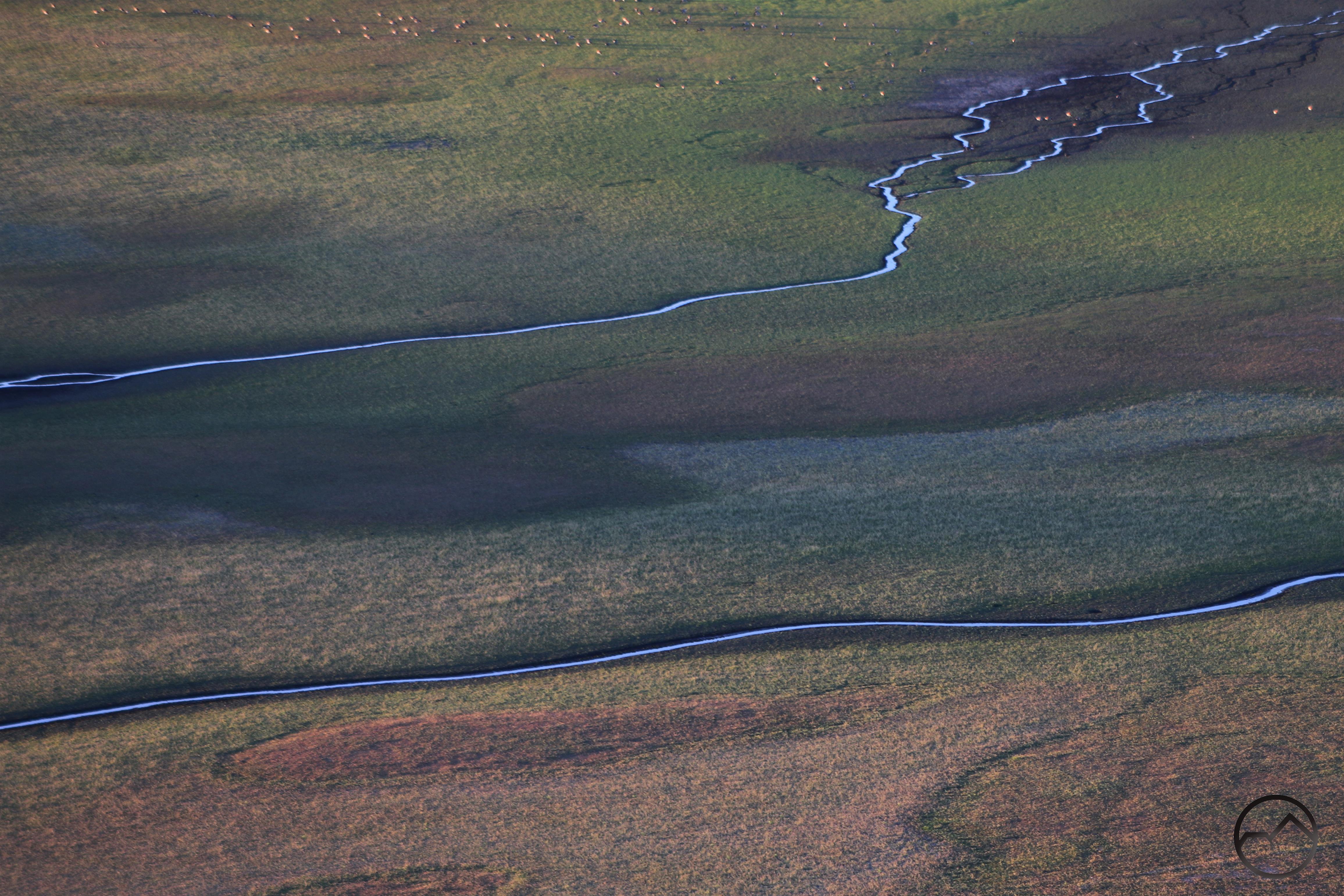
Rivers Around The Mountain
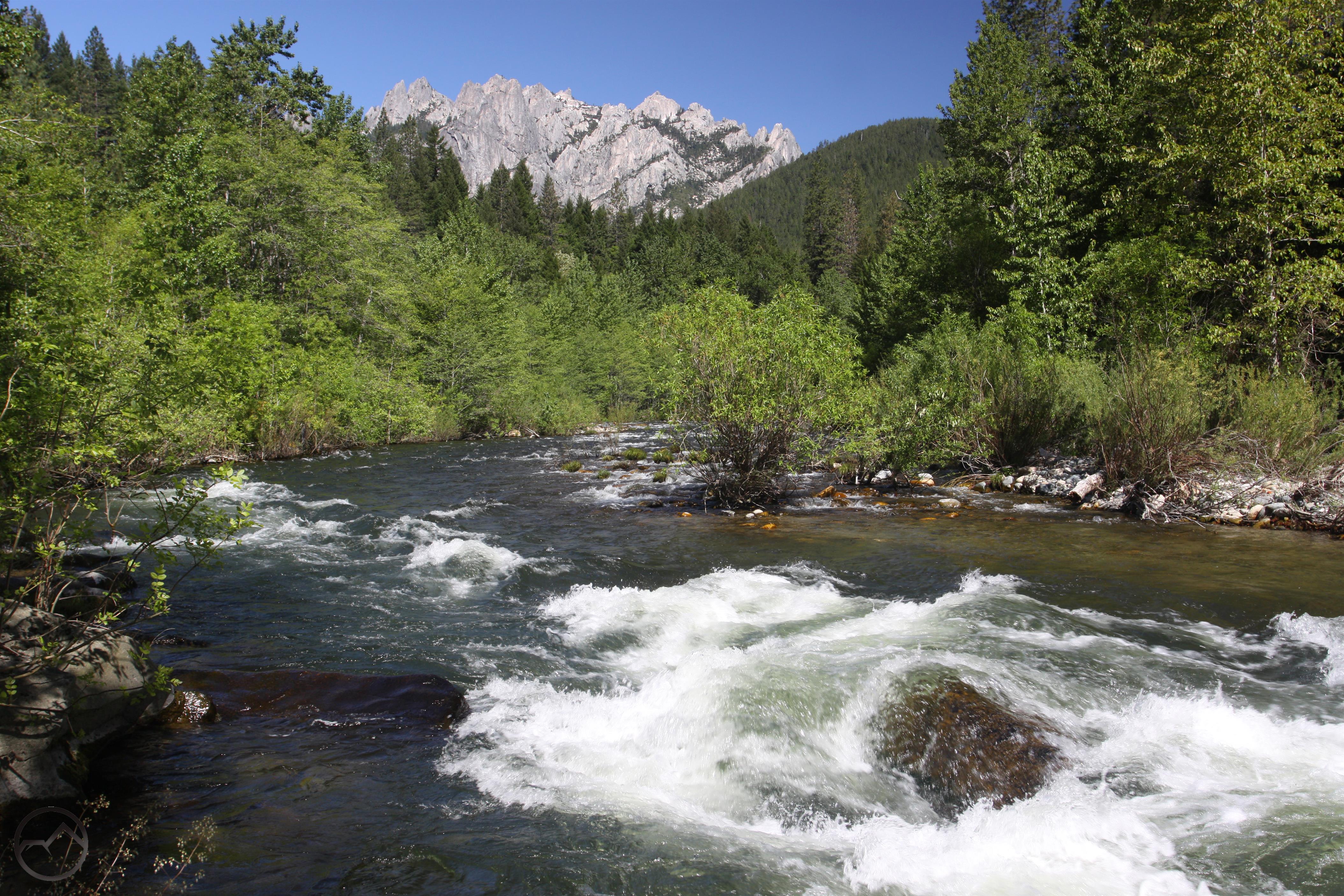
 Three rivers flow around the base of Mount Shasta. The Sacramento River, California’s largest and longest river, begins nearby, while the McCloud and Shasta Rivers also begin in the area. Flowing through deep canyons, over large waterfalls and through broad valleys, these rivers are beautiful contrasts to the towering spire of Mount Shasta. They also offer diverse recreational opportunities that include hiking, fishing and kayaking. In addition to the rivers, there are dozens of beautiful creeks flowing through the area. Wagon Creek and Castle Creek are probably the most notable but many others yield beautiful and refreshing destination. For those looking to explore, these are 5 of the best trails along rivers and creeks in the area.
See the Mount Shasta Area Rivers Gallery.
Waterfalls

The Mount Shasta area has a number of fantastic waterfalls. This generally fit into two categories. The first are those that are found in the lowlands around Mount Shasta. Some of these are along the McCloud and Sacramento Rivers, a few others are in the mountains to the west of Mount Shasta. None are particularly high in elevation except Wagon Creek Falls. The river waterfalls flow all year so can be viewed whenever they are accessible. Those a little higher up are best in spring. The other category of waterfalls are those found on Mount Shasta. These are all harder to get to due to rugged access roads and terrain and, in some cases, lack of trails leading to them. Whitney Falls is the easiest to get to but its flow can be fickle. Ash Creek Falls may be the most beautiful of the bunch.
See the gallery of Mount Shasta Area Waterfalls.
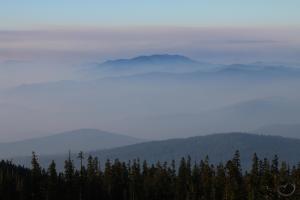
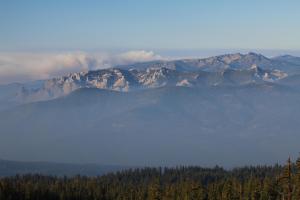
Seldom Seen
There are a variety of places around Mount Shasta that don’t see many visitors but still offer spectacular scenery and fascinating geology. The tiny number of people heading to these places is in not indicative of how magnificent they are. This series of articles attempts to pique the reader’s interest and encourage hikers to get out and explore areas beyond the trail.
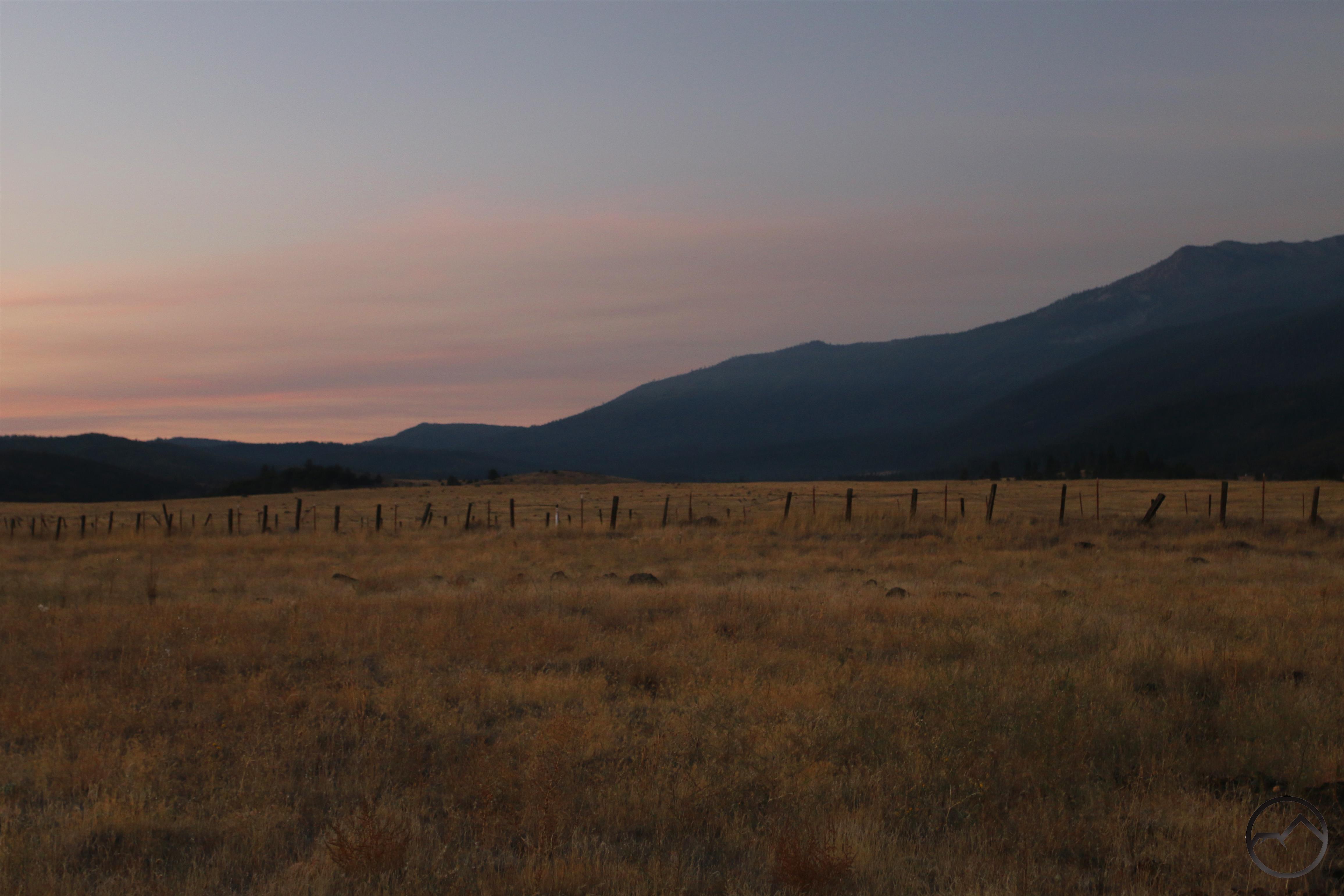
Fall Color
 The Mount Shasta area is not well known for having great fall color. However the area does have some spots where the autumnal foliage can be pretty intense. This is due, in large measure to oak trees and the many trees that line riparian areas. Hiking along the Sacramento River, the McCloud River and Squaw Valley Creek are all places that are good bets to see some great collections of trees turning shades of red and gold. Aside from these areas, look for places with lots of oaks or willows to catch some of fall’s excellent spectacle. For those hungry for aspens, there are a few places to catch them, especially north of Mills Meadow and also a massive grove located near Tennant.
Click here for a sample of some of the area’s fall color.
History
The Mount Shasta vicinity has a long and interesting history. Native Americans lived in the area for millenia before the arrival of Americans. Resource utilization set in early but it was not long before Mount Shasta had gained the attention of many conservation luminaries. Most notable of these was John Muir himself, the father of the modern conservation movement. He had a long and important relationship with Mount Shasta, making several trips to the area. He strongly advocated the mountain be preserved as a national park:
“The Shasta region is still a fresh unspoiled wilderness, accessible and available for travelers of every kind and degree. Would it not be a fine thing to set it apart like the Yellowstone and Yosemite as a National Park for the welfare and benefit of all mankind, preserving its fountains and forests and all its glad life in primeval beauty?”
– John Muir, “Picturesque California”, 1888
Read more about John Muir’s thoughts about Mount Shasta here.
This article collects several other discussions of vintage Mount Shasta subjects.
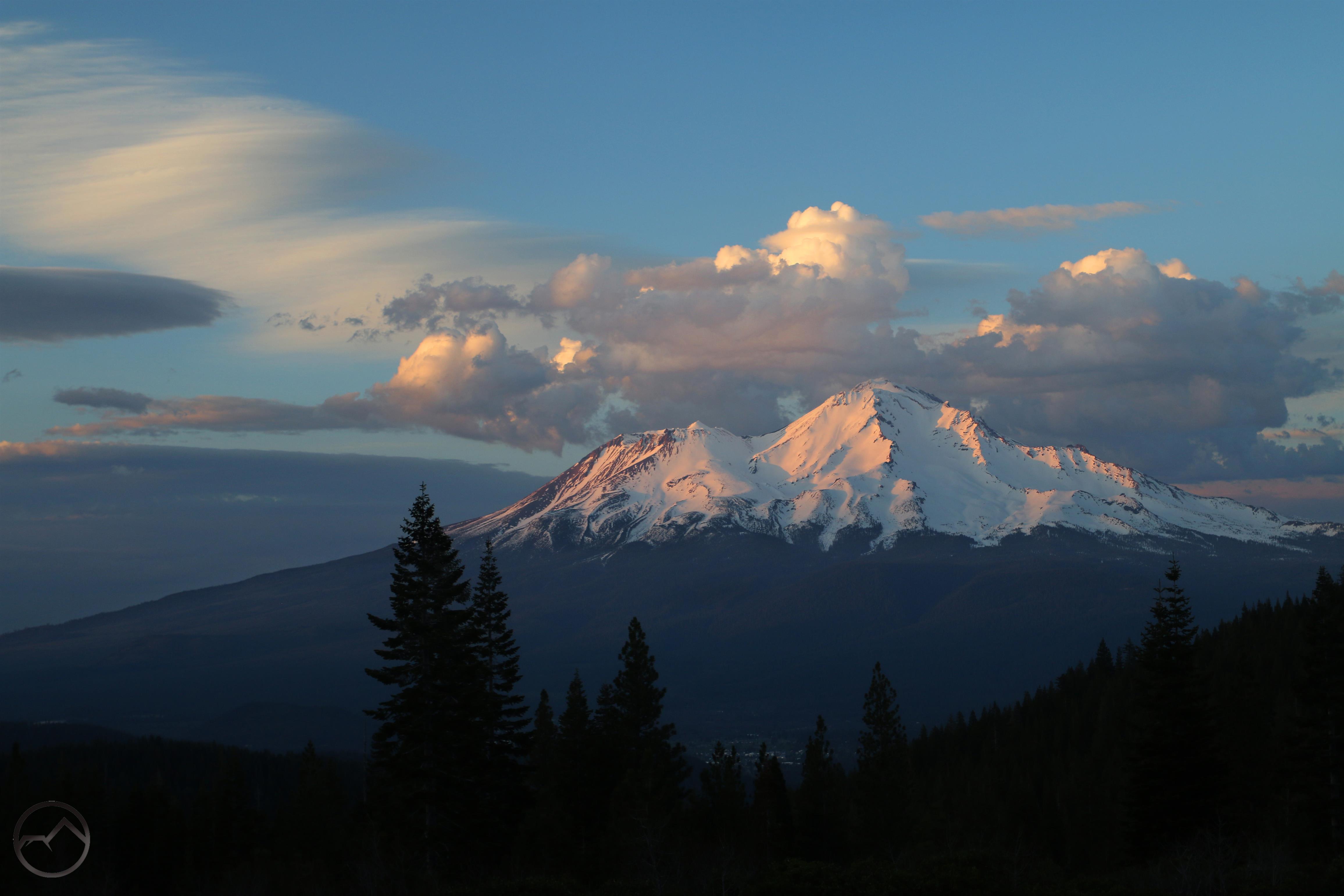
Visiting Mount Shasta
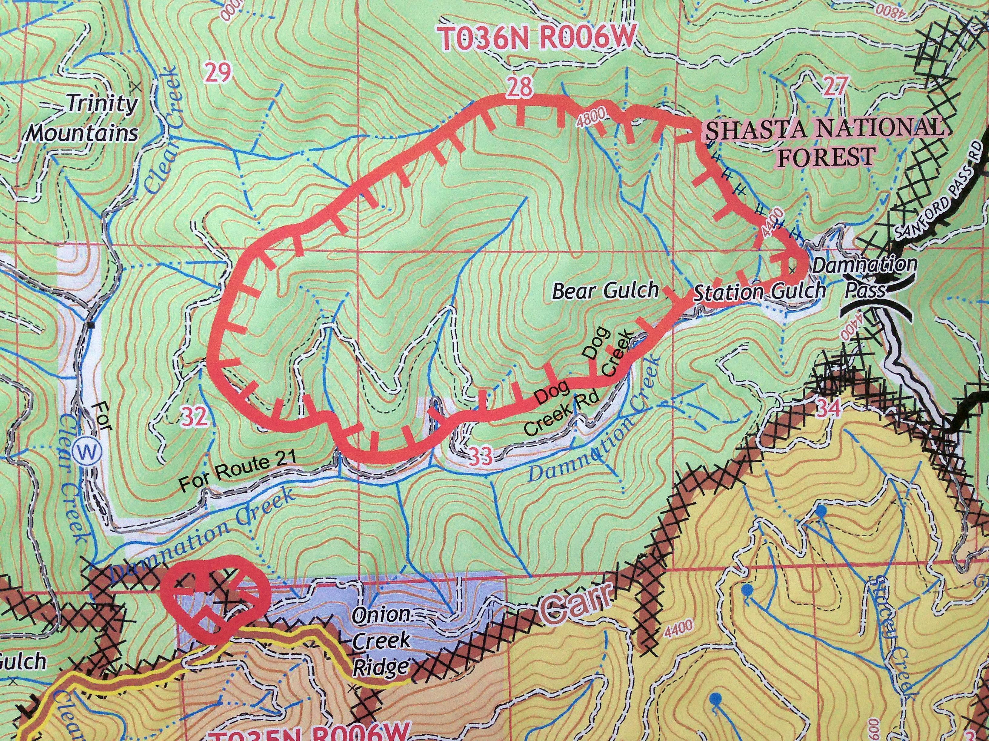
Hiking is naturally a favorite way of appreciating Mount Shasta. Hundreds of miles of trail course across the mountain’s flanks and through the surrounding ranges. This map shows most of the trails on and around Mount Shasta:
 Other articles that might be helpful:
–The Perfect Weekend: Three Days In Mount Shasta
–Three Spectacular Drive-To Vistas Of Mount Shasta
–An East Side Glacier View
–Sacramento River Scrambling
–Five Fantastic Mount Shasta Vistas
I hope this is a helpful resource to all those looking to enjoy Mount Shasta. Thanks for investing your time in Hike Mt Shasta!