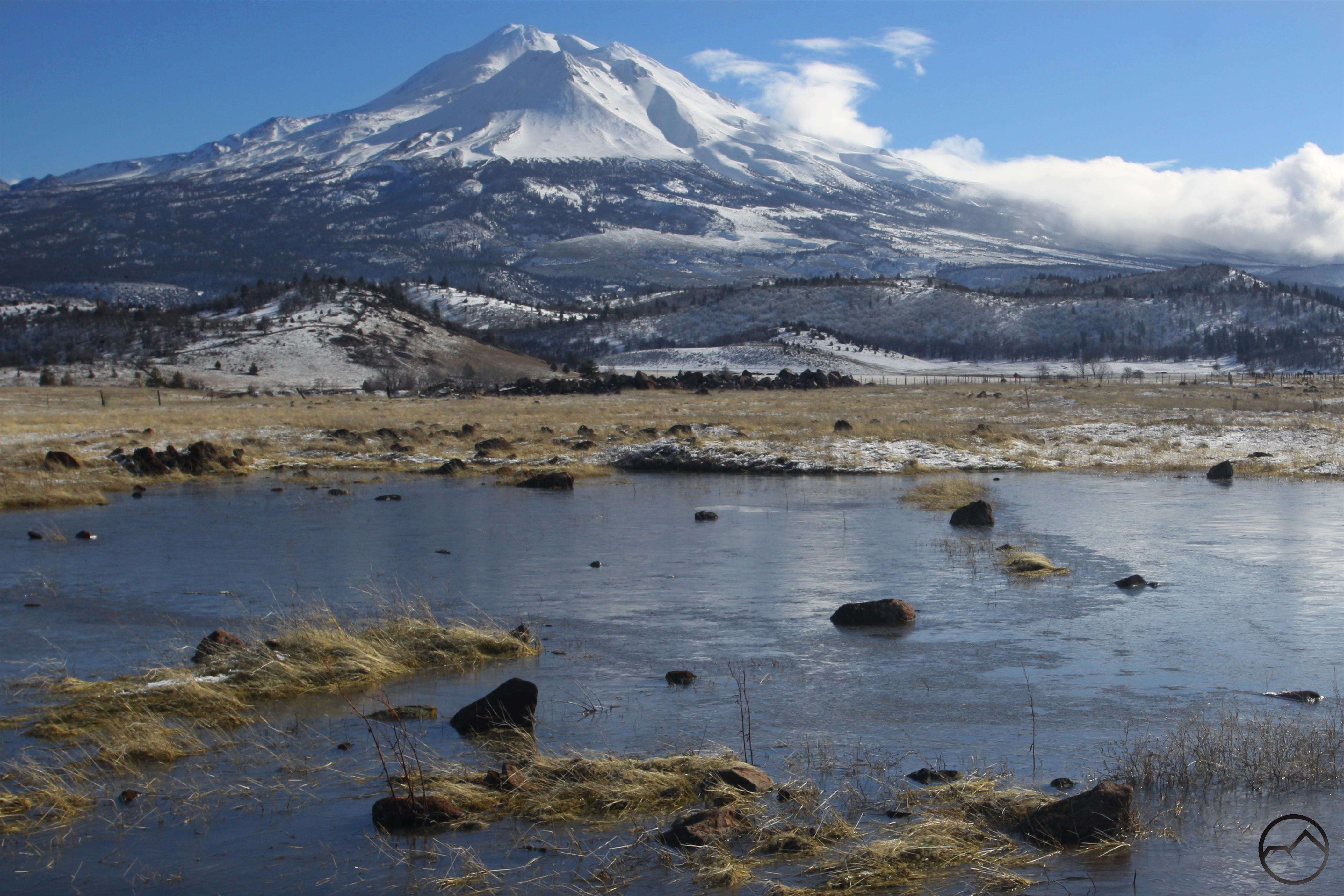
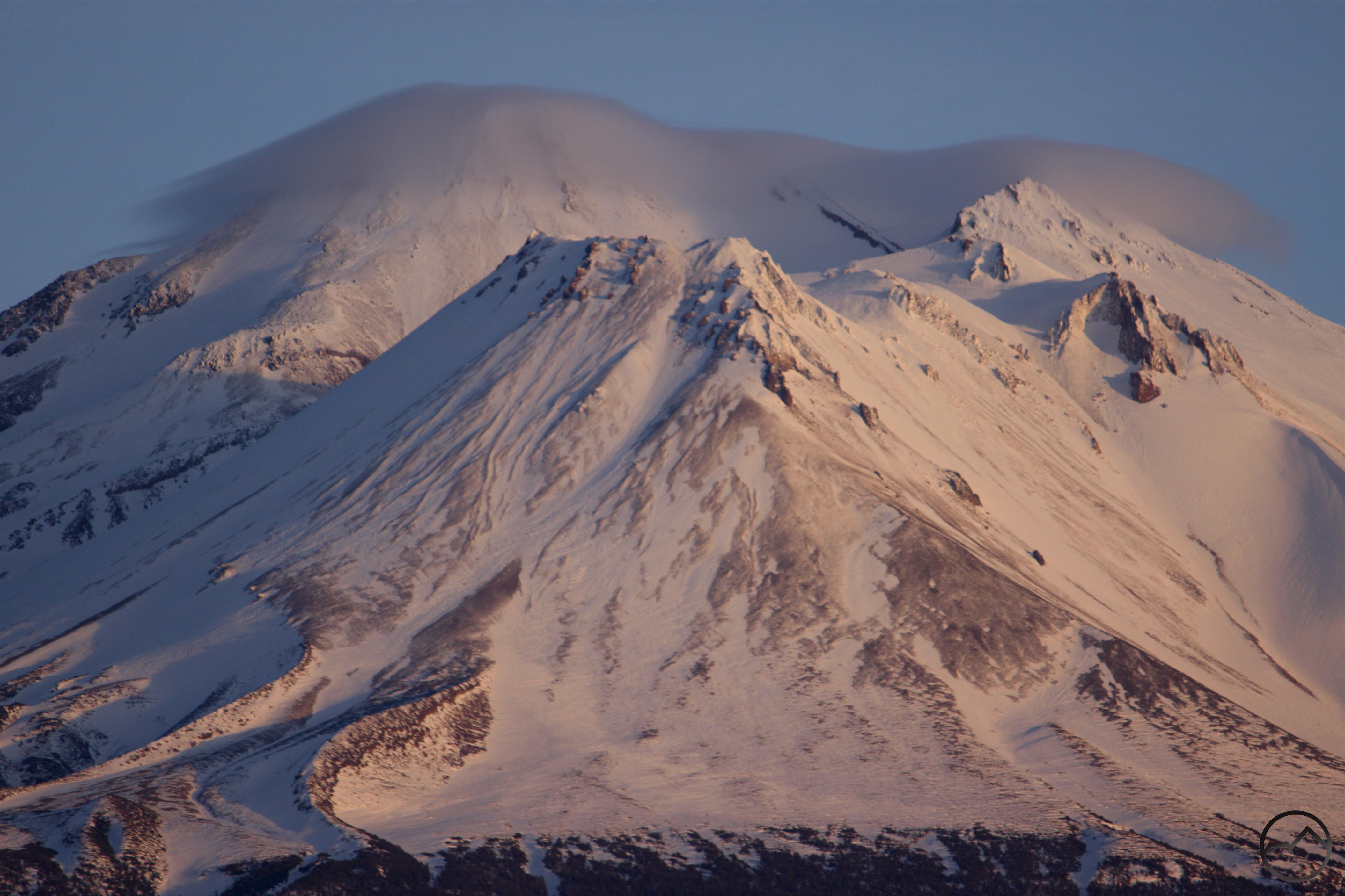
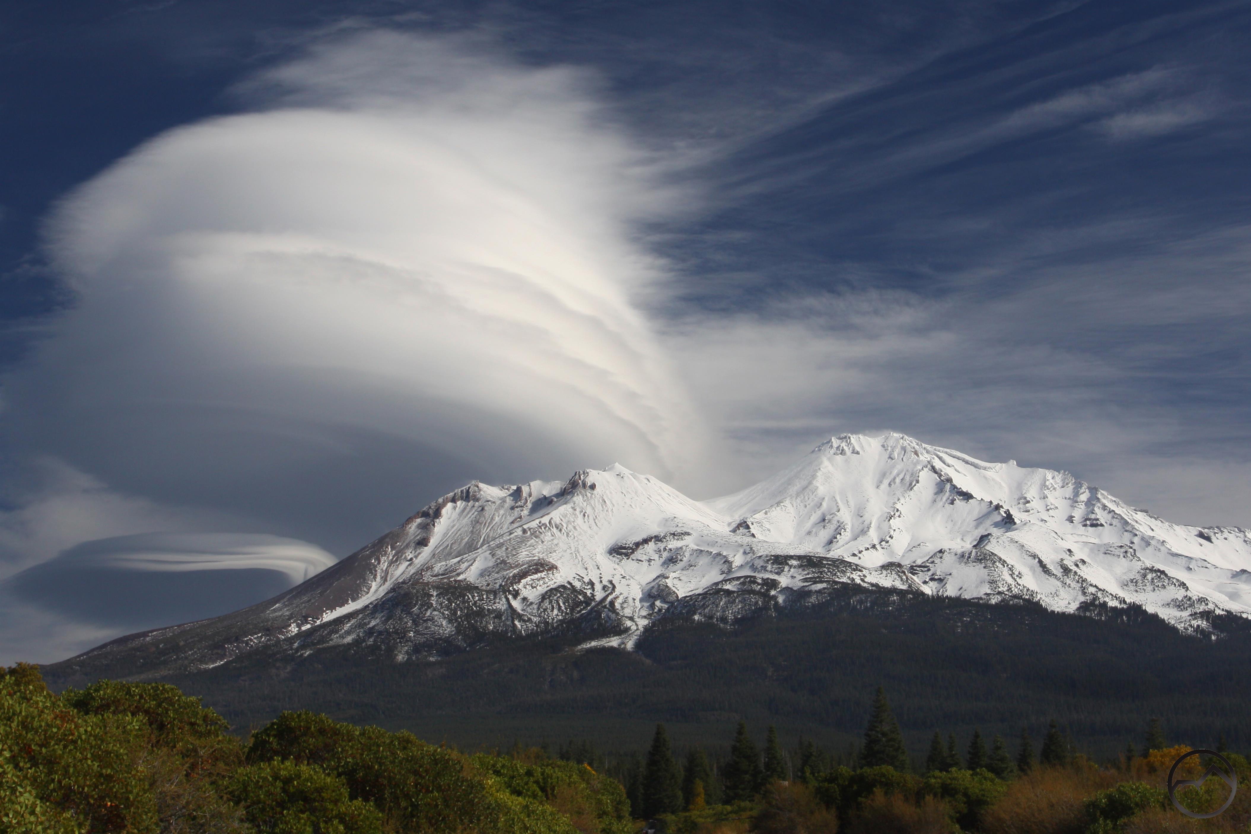
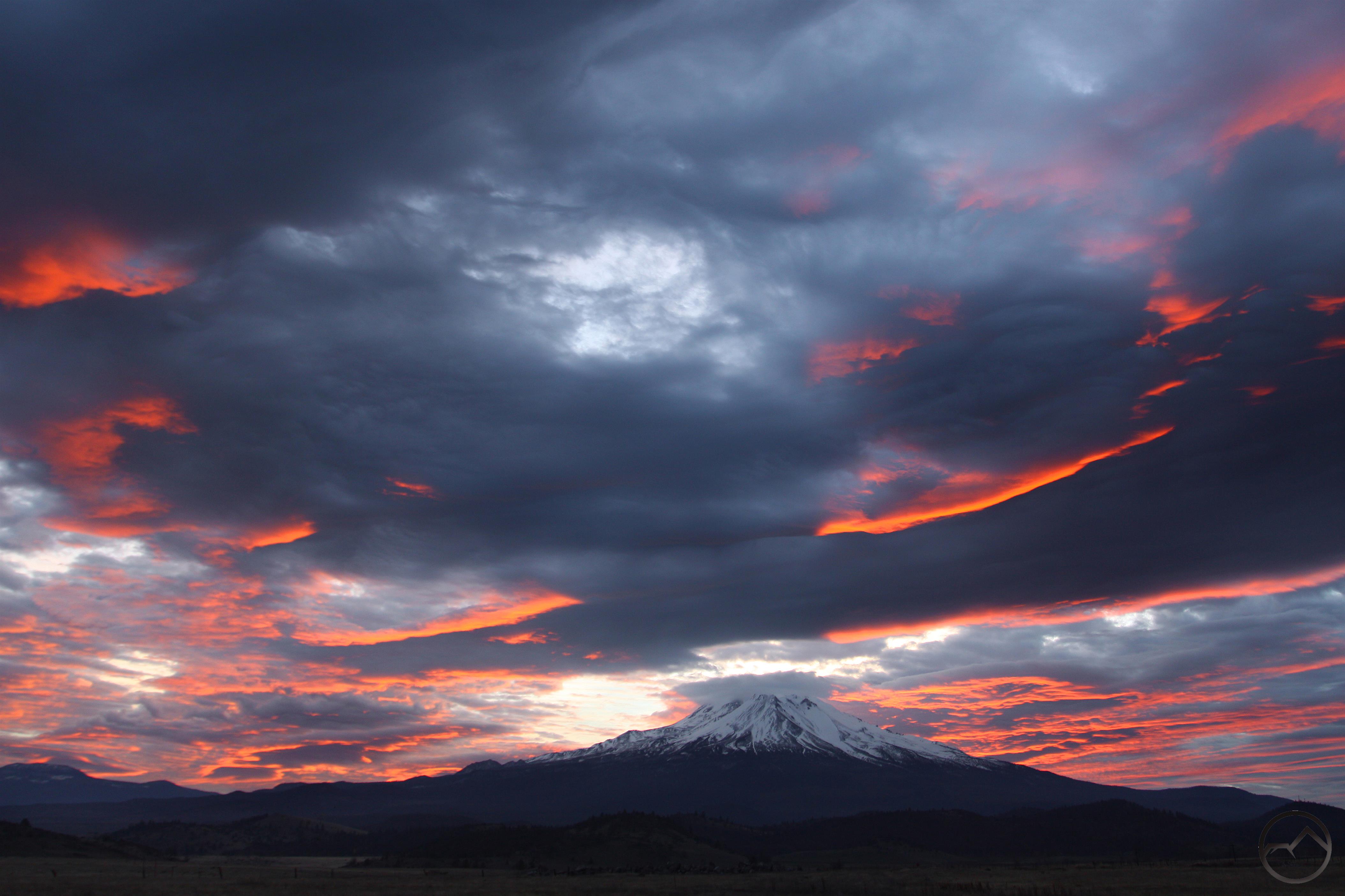
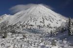
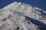
A large lenticular cloud forms over Mount Shasta, October 2016.
Well, 2016 is just about over. It has certainly been a pivotal year in many respects. Without going into politics or anything of that nature, it proved to be an important year around Mount Shasta as well as for Hike Mt. Shasta. Last winter was a solid one, which provided much needed relief for the drought. This is especially true for areas downstate, that rely on the water that falls here as precipitation and is store in Shasta Lake and other parts of the California and Central Valley Water Projects. This past fall was also extremely wet, adding to the bounty. For this website, it got significantly more traffic than it has in years past and is now approaching the 1,000,000 hit mark. Not too shabby for a little one man do-it-yourself operation, I think. On a more personal note, it was an exceptional year for me, as I hit the trail throughout Northern California in preparation for my latest book. Though may journey took me on trails on the North and Central Coasts, the Klamath Mountains, the Cascades and the Bay Area, the majority of my time was spent in the greatest mountains in the world, the Sierra Nevada. For the book, I had the opportunity to hike the range from top to bottom, hitting many of the range’s highlights. It was an opportunity I never thought I would have. However, it did have one consequence that is reflected in this blog post. For the first time since I moved up here, there are many months where I took no pictures of Mount Shasta or the other mountains in this area. This means I do not have an image for every month of 2016. I try to keep this site focused on the land, and not on me, so it frustrates me to include a few images from my travels this summer to fill out a whole year. I hope you can forgive me.


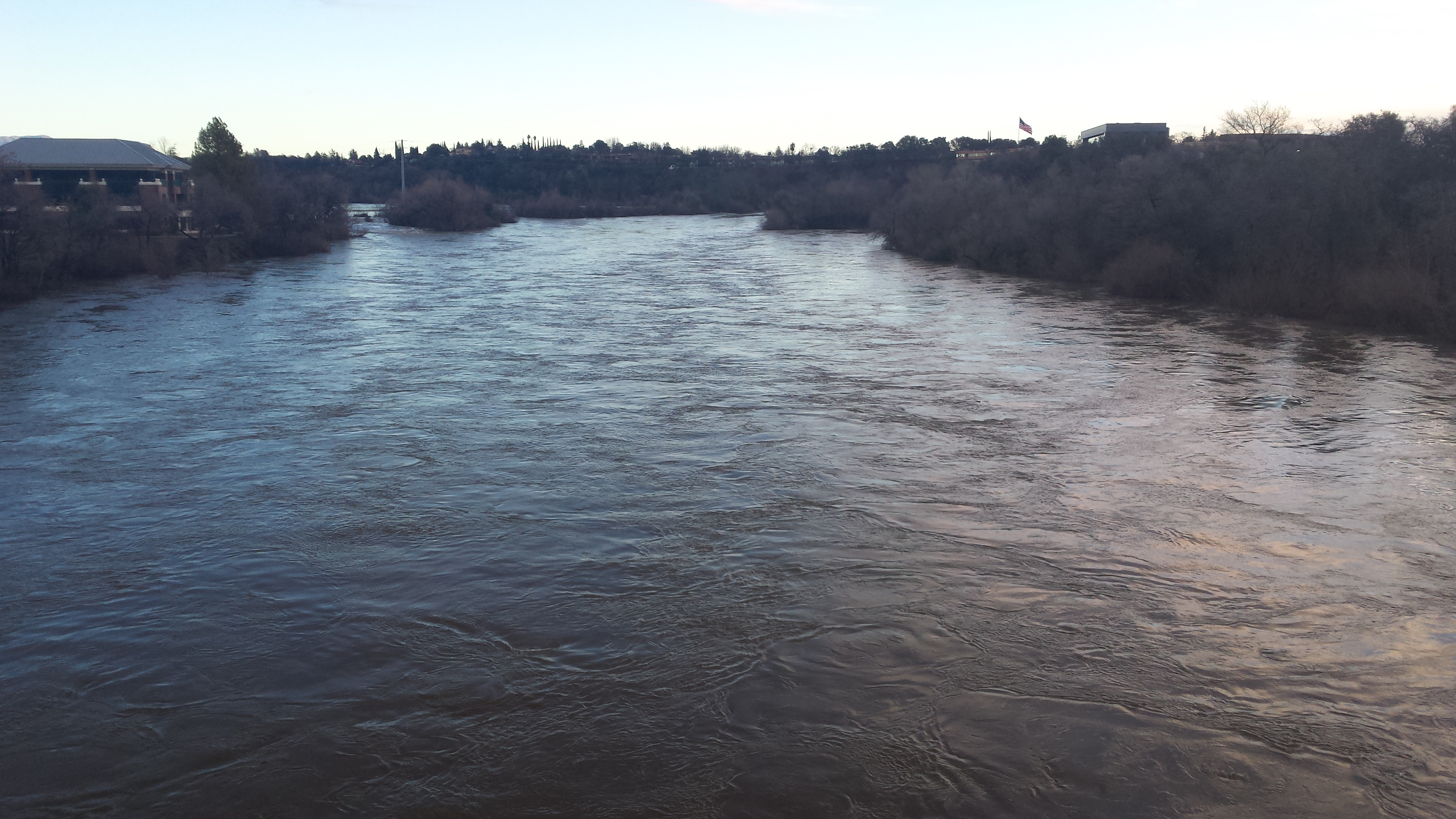
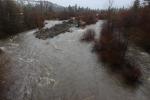
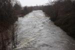
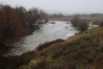
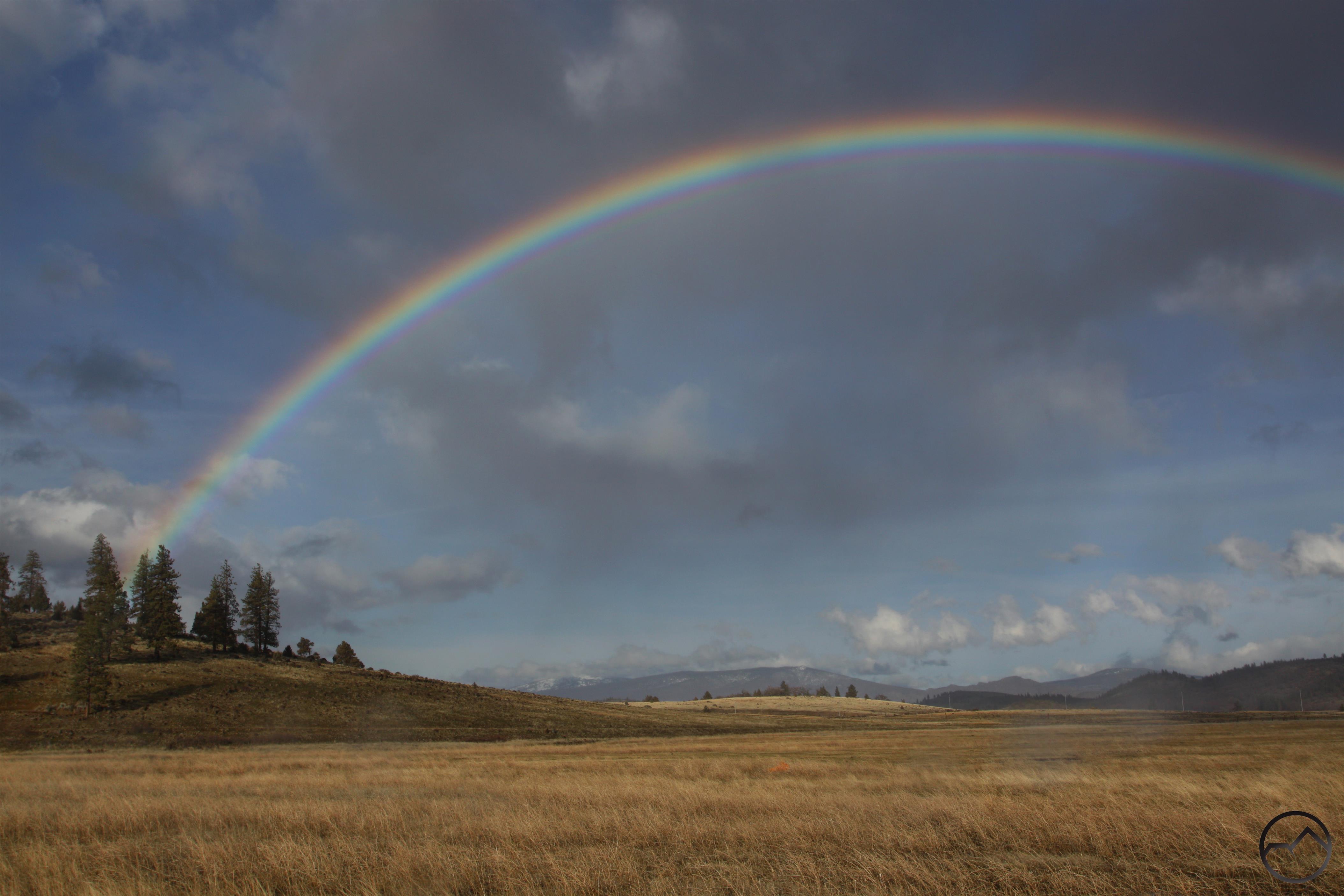
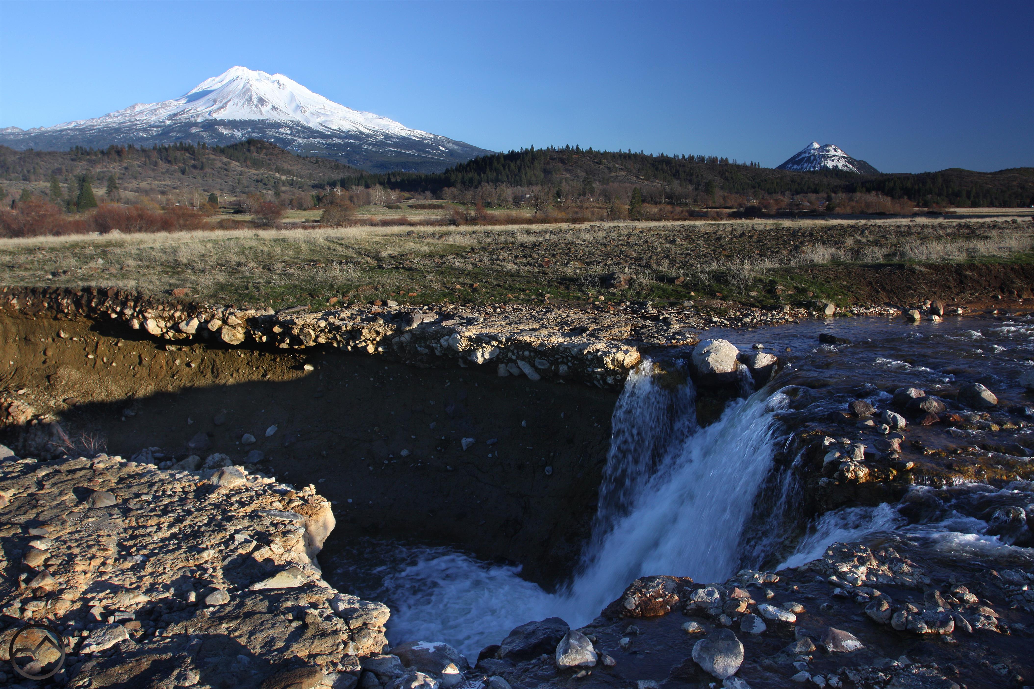
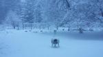
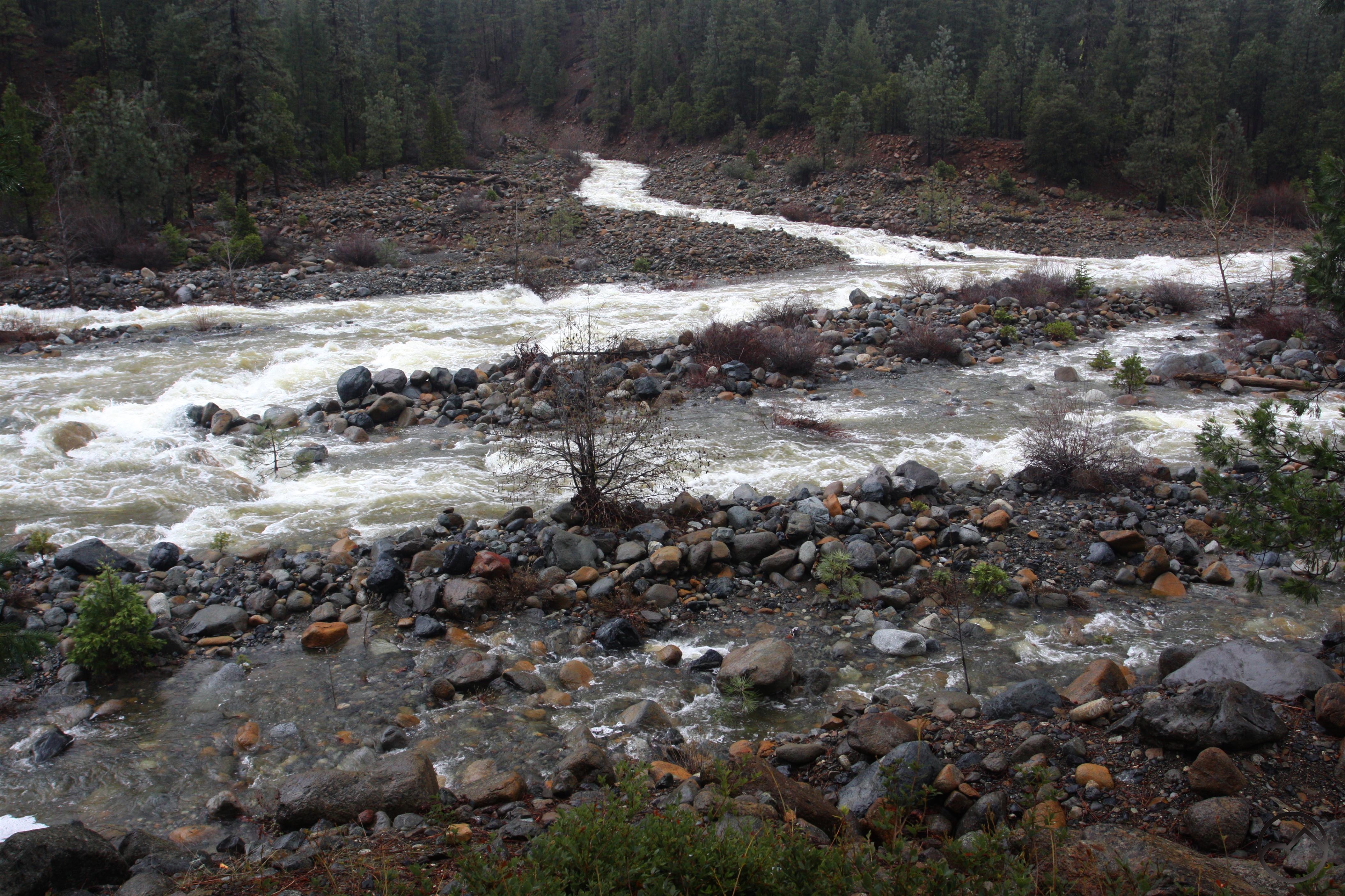
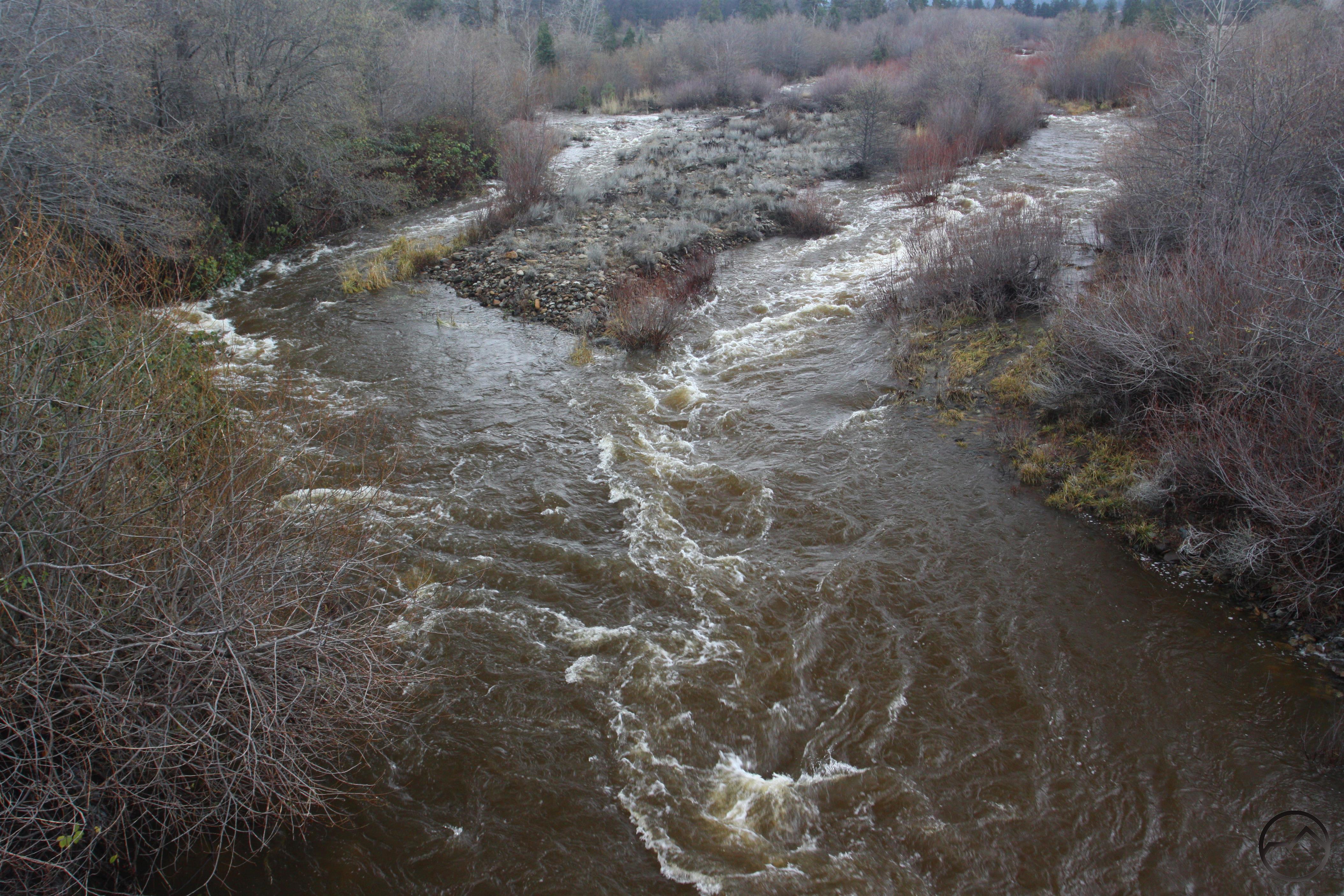
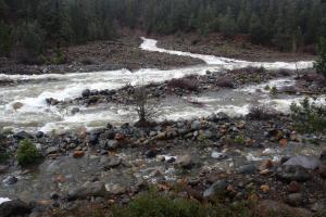
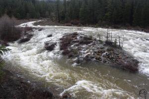
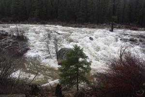
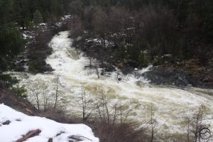
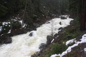
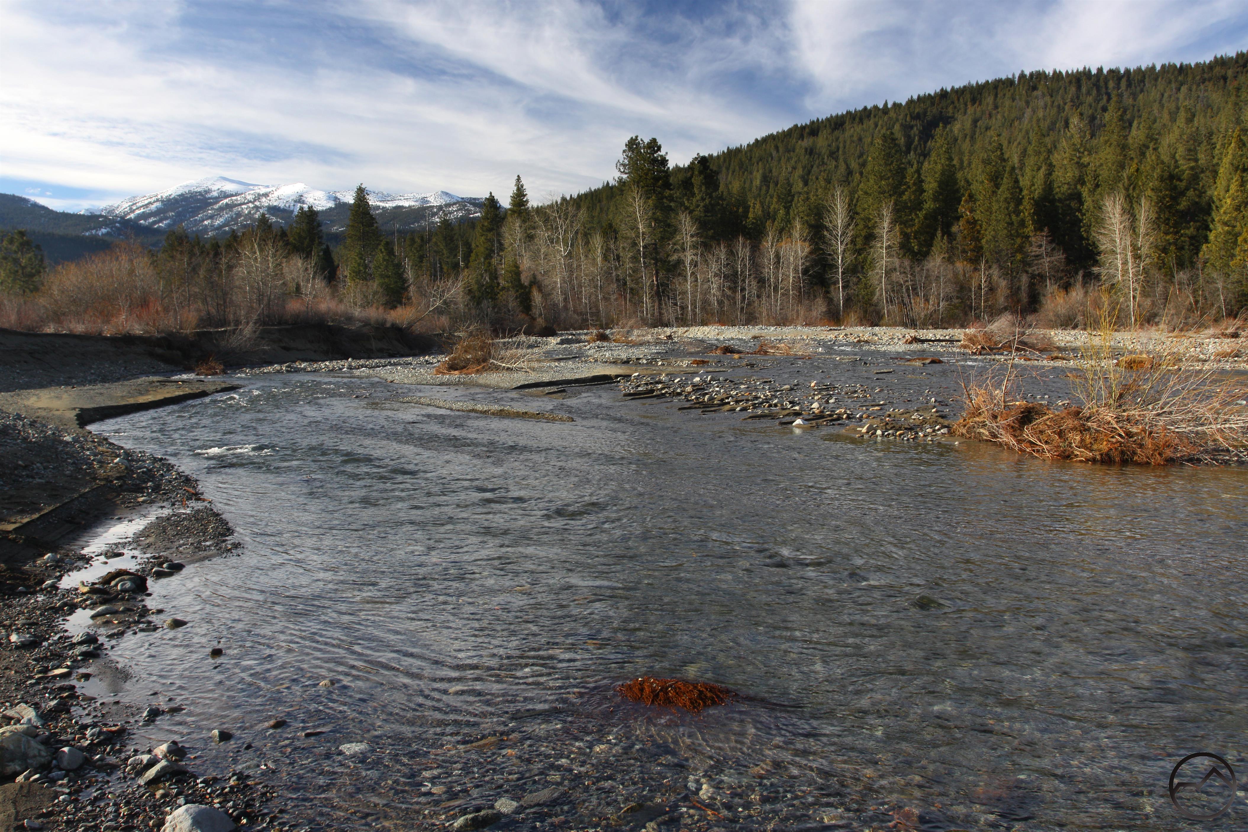
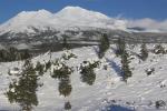
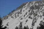
The year started off with some serious rain. Though we wanted snow, it was still great to get copious amount of precipitation in whatever form it came. The creeks and rivers were full, the higher elevations were white and there were some pretty epic rainbows.


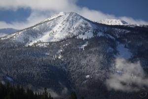
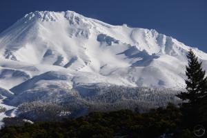
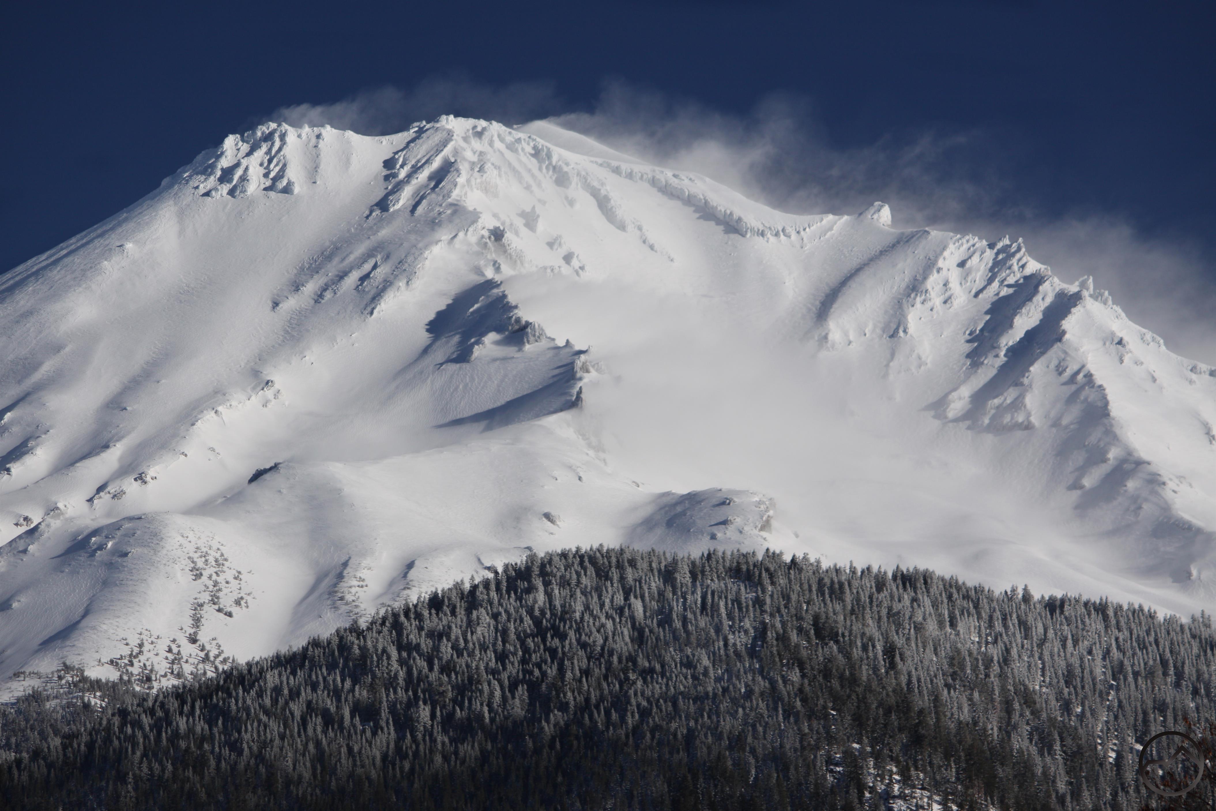
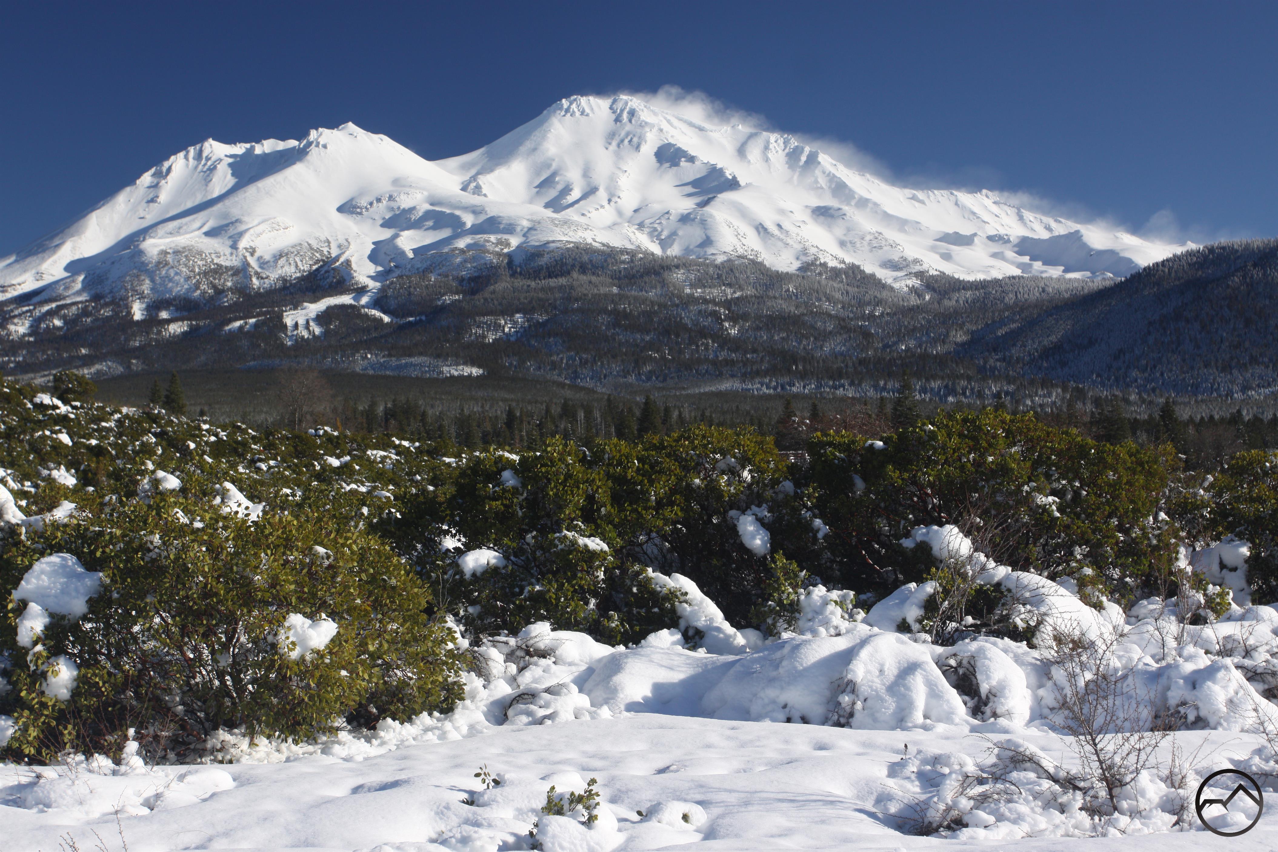
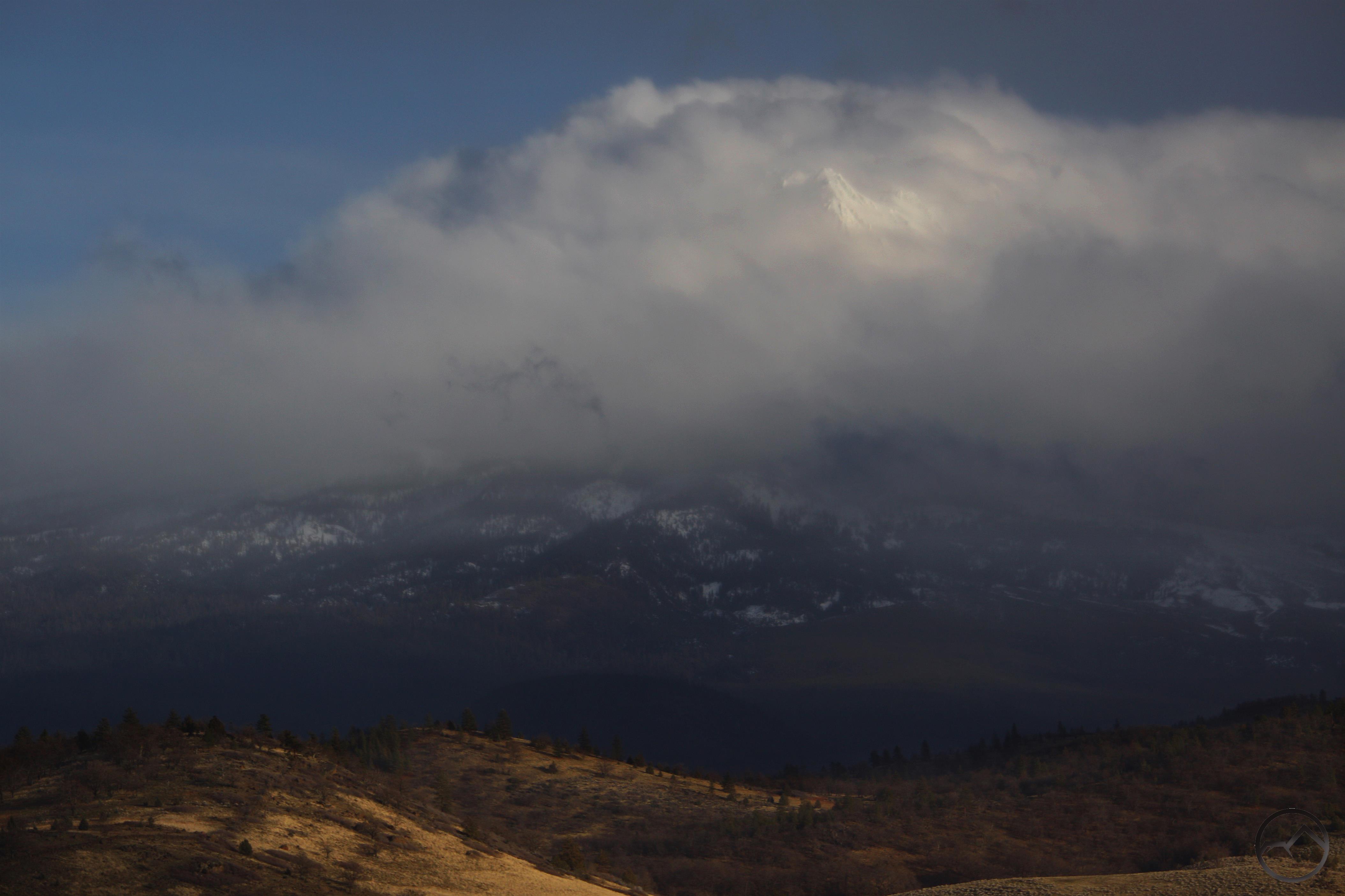
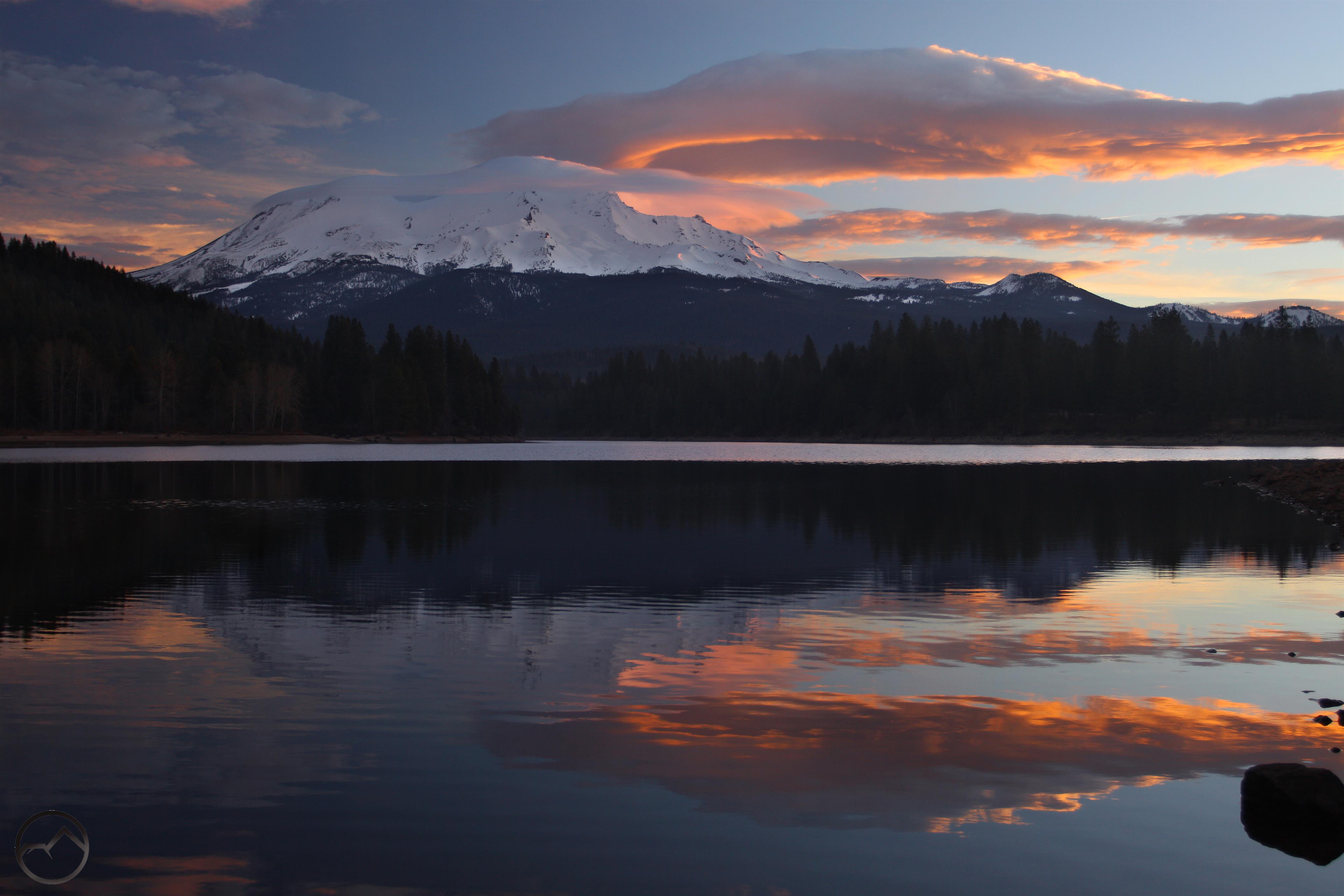
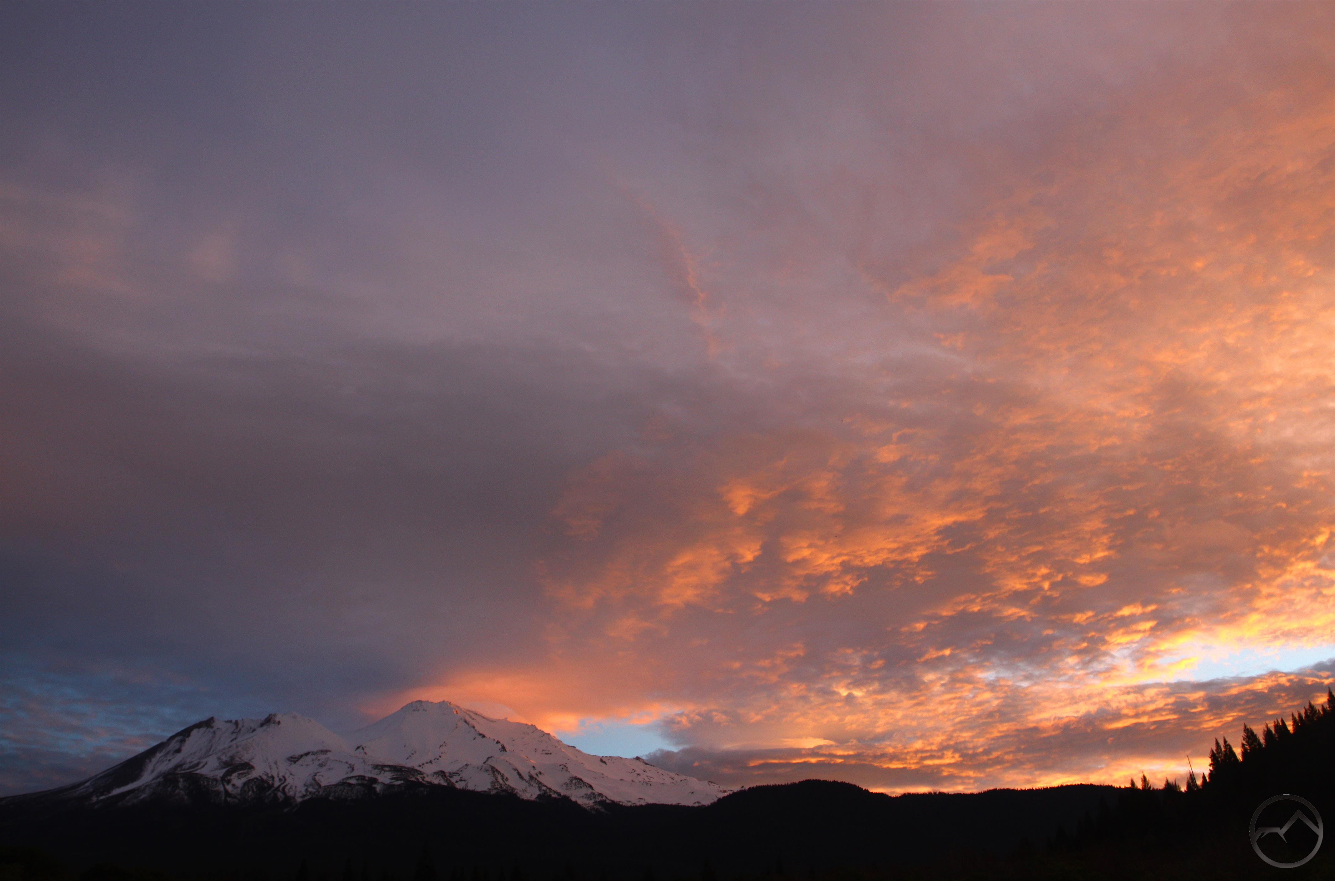
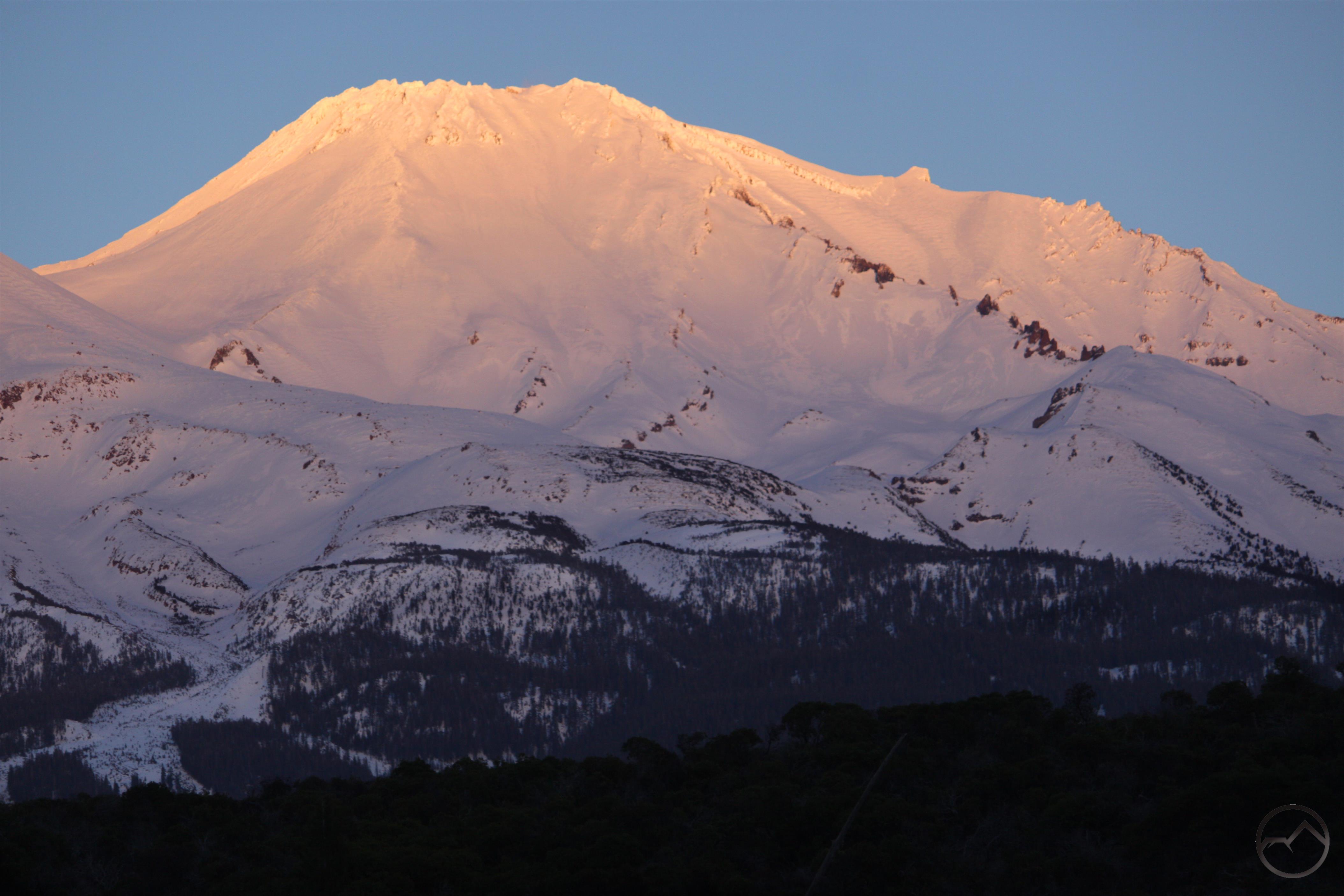
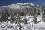
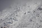
February was cold and had more rain, though not too much snow fell. Fortunately the Ski Park got snow and was in great shape for some excellent winter sport. There were also some excellent lenticular displays.


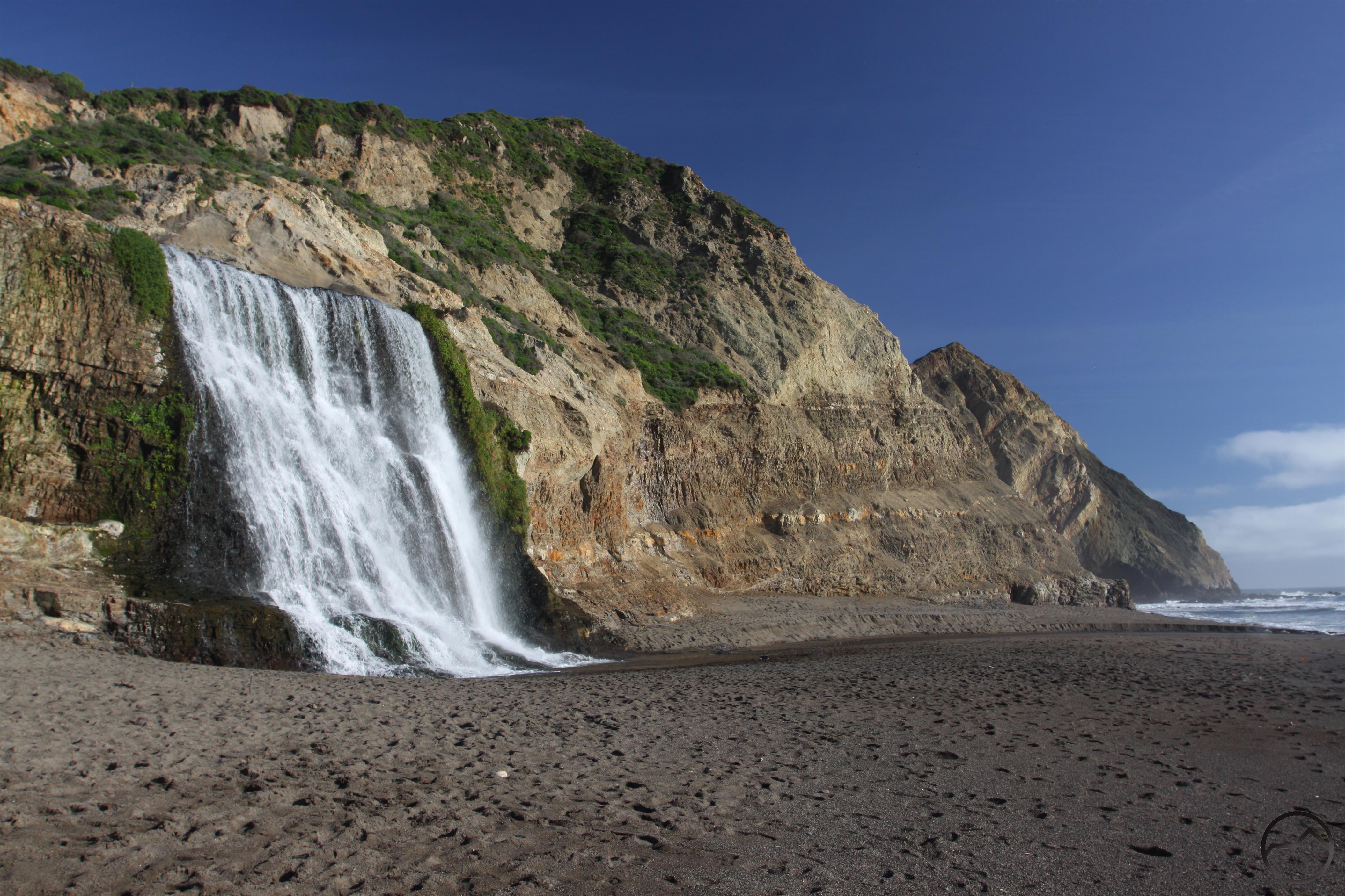
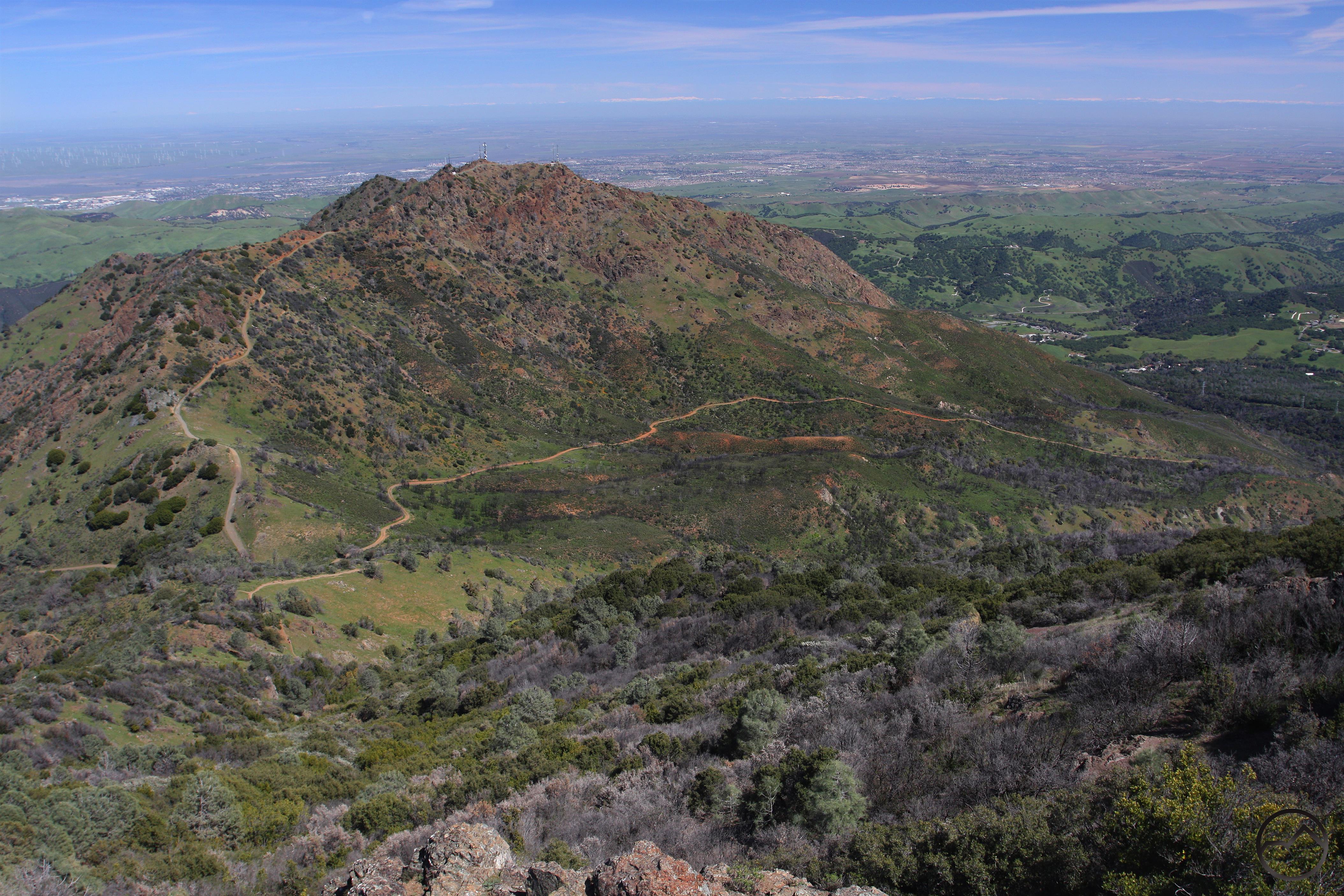
March was the first month I failed to take any pictures of Mount Shasta. Lots of family business kept me down in Sonoma County throughout the month. Fortunately, this was the perfect time to hit the trails around the Bay Area that will appear in my latest book. Highlights included Alamere Falls at Point Reyes and the Grand Loop around Mount Diablo.


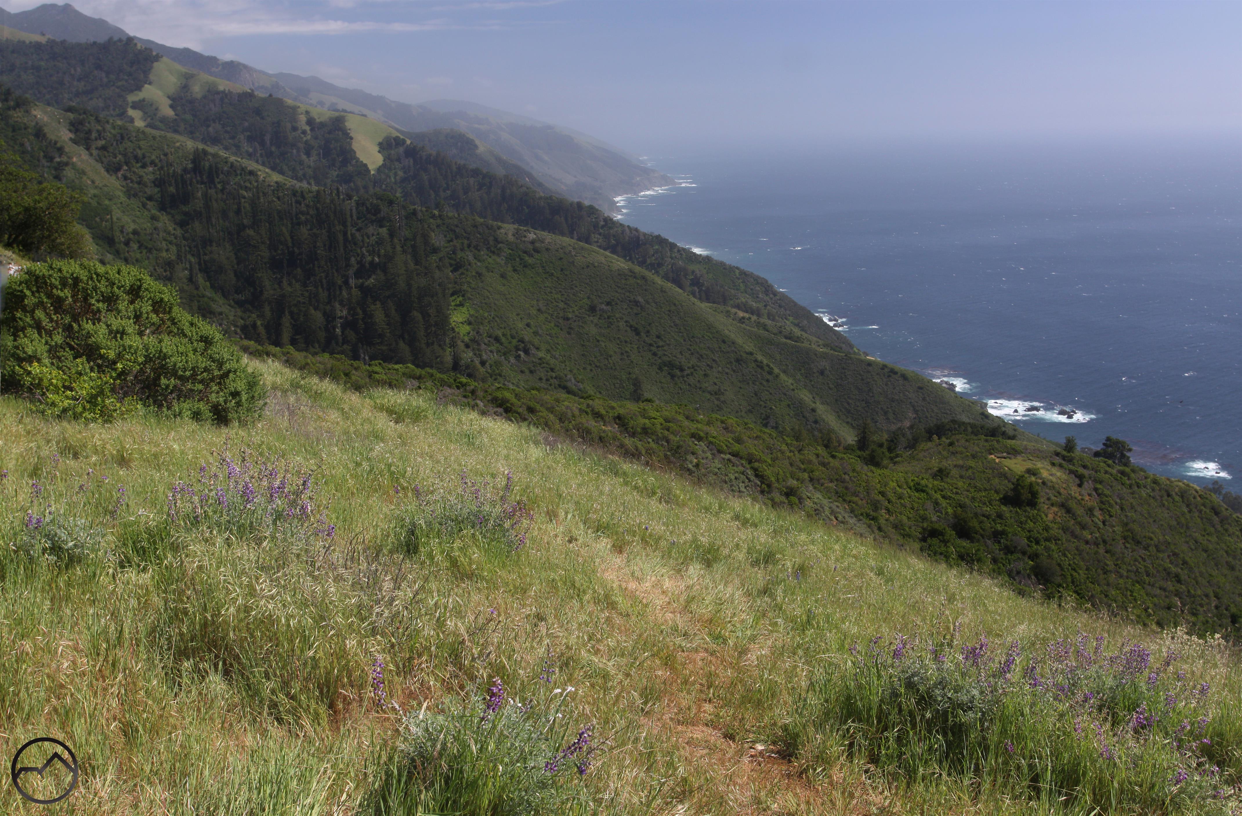
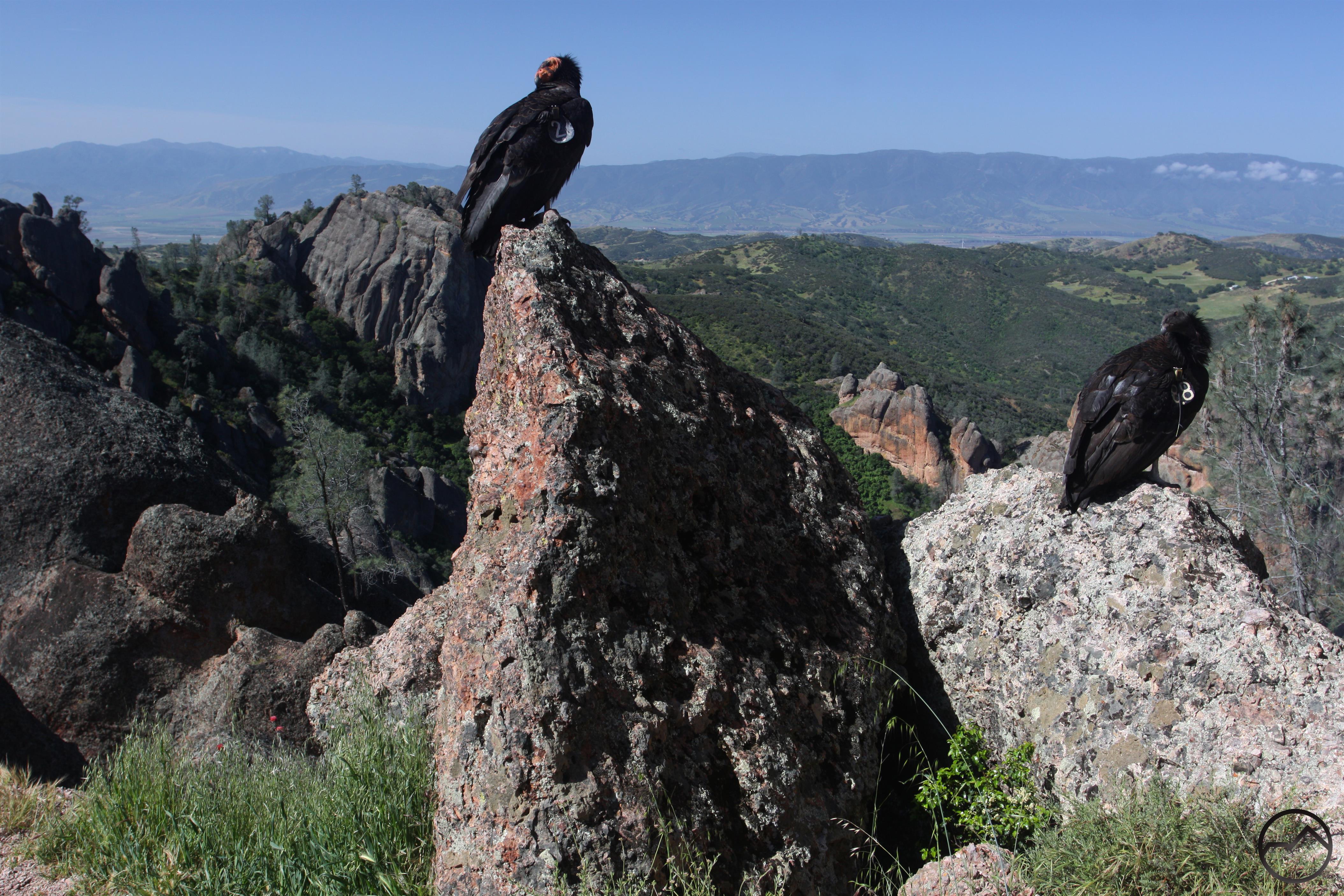
Spring weather dominated April and I got away down to Big Sur to hike several trails in that area and a few more in the Bay Area. My brother lives in Carmel, so I was able to stay with him and spend some time with his family. Spring in Big Sur is paradise and the amazing geography was complimented by lots of wildflowers. There are an impressive number of waterfalls down here and they were all flowing with vigor. At Pinnacles National Park, I had a run in with an amazing array of California Condors. Those birds are big!


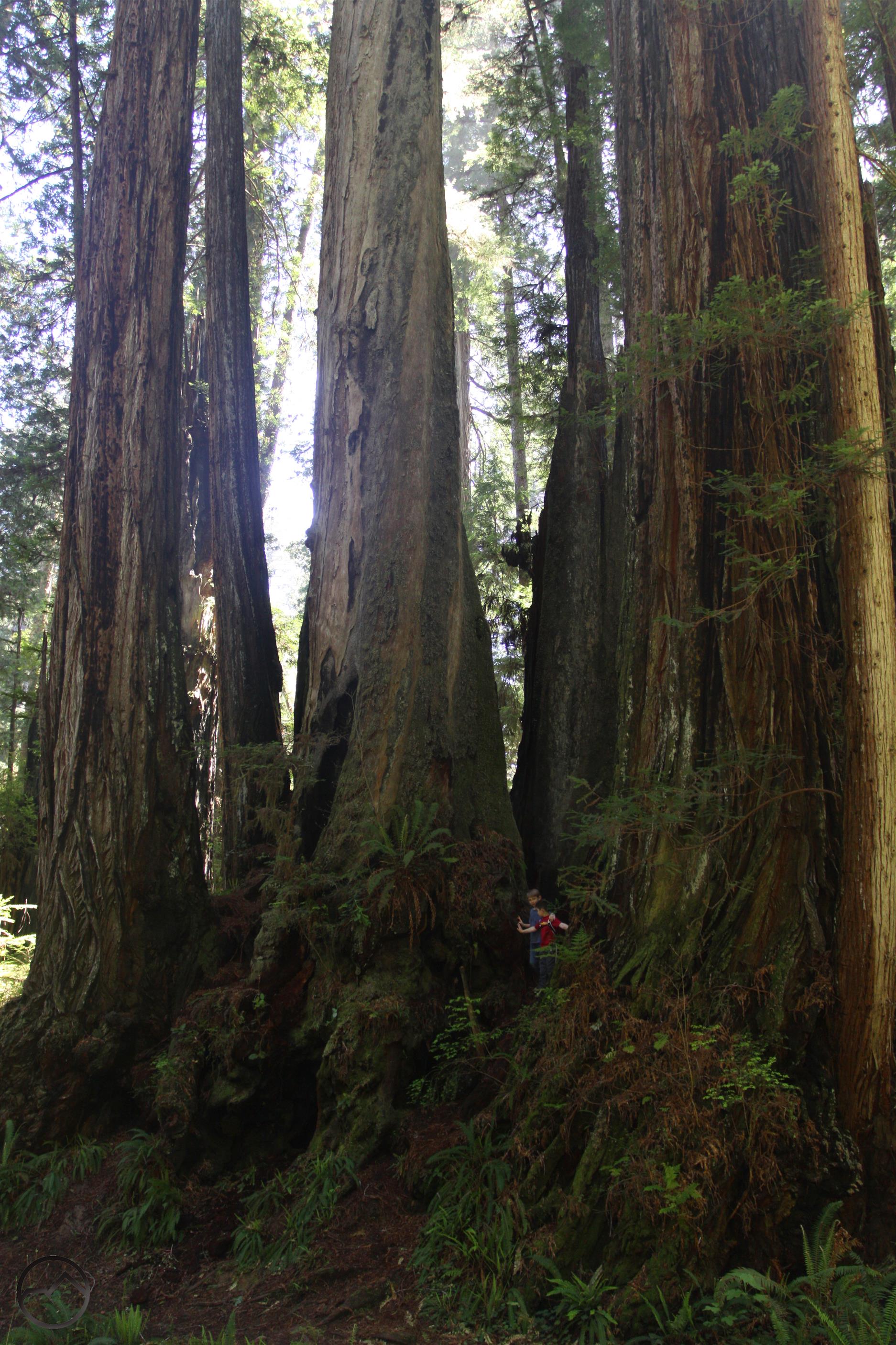
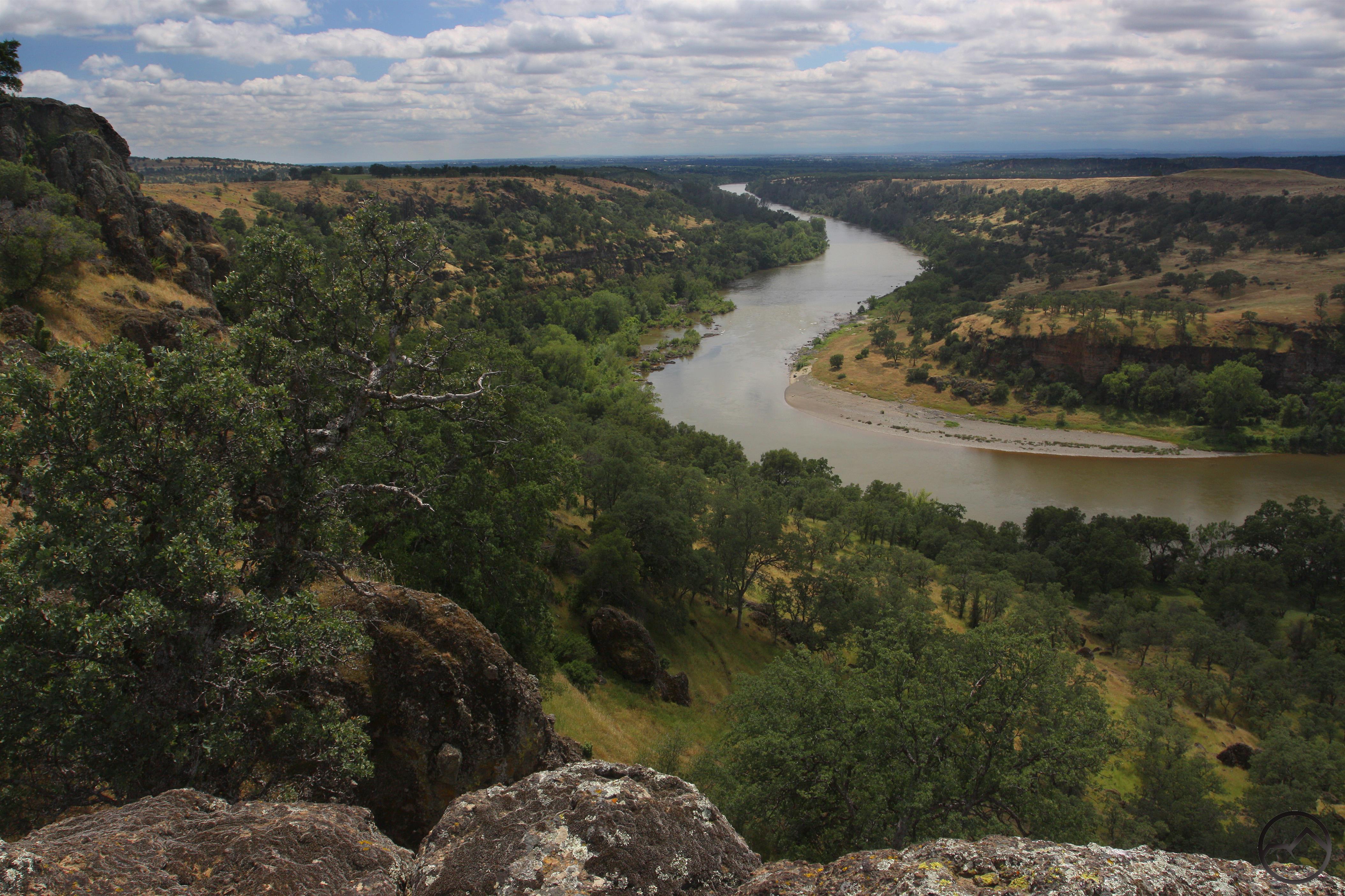
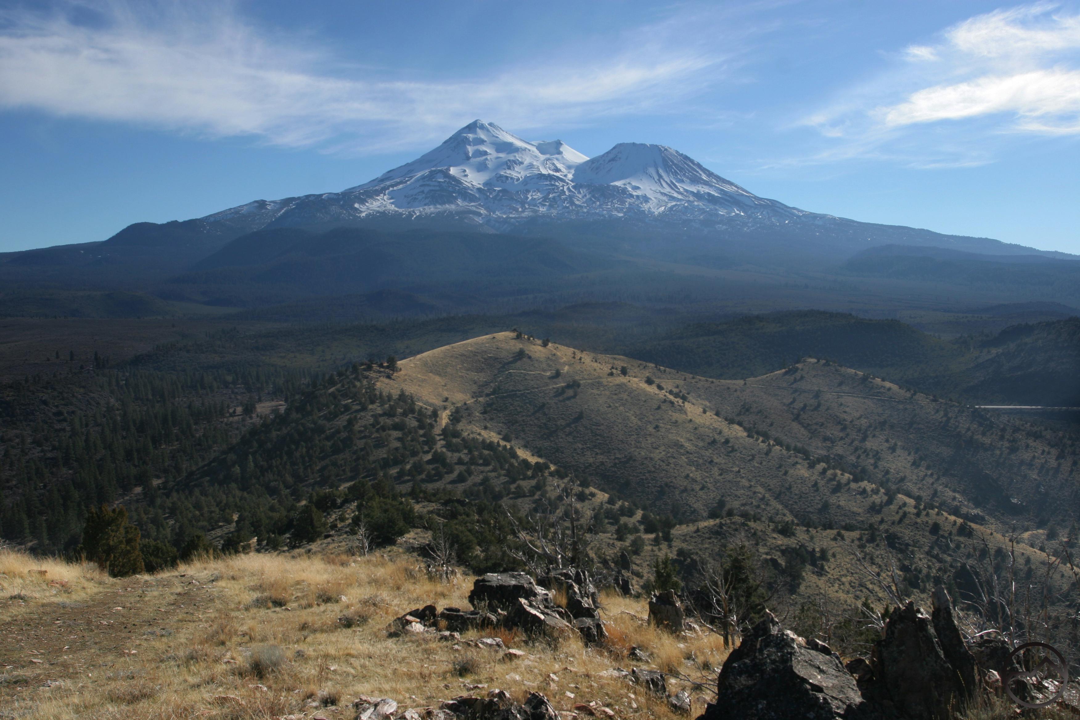
Things were a little disjointed in May, with trips down to Visalia and the Redwood Coast. Both trips netted hikes the will be included in the book. The trail down on the San Joaquin turned into a death march, while the hikes through the redwoods were peaceful, travels through natural cathedrals. I was also able to fill in some gaps on local hikes including Iron Canyon and the Lava Beds.


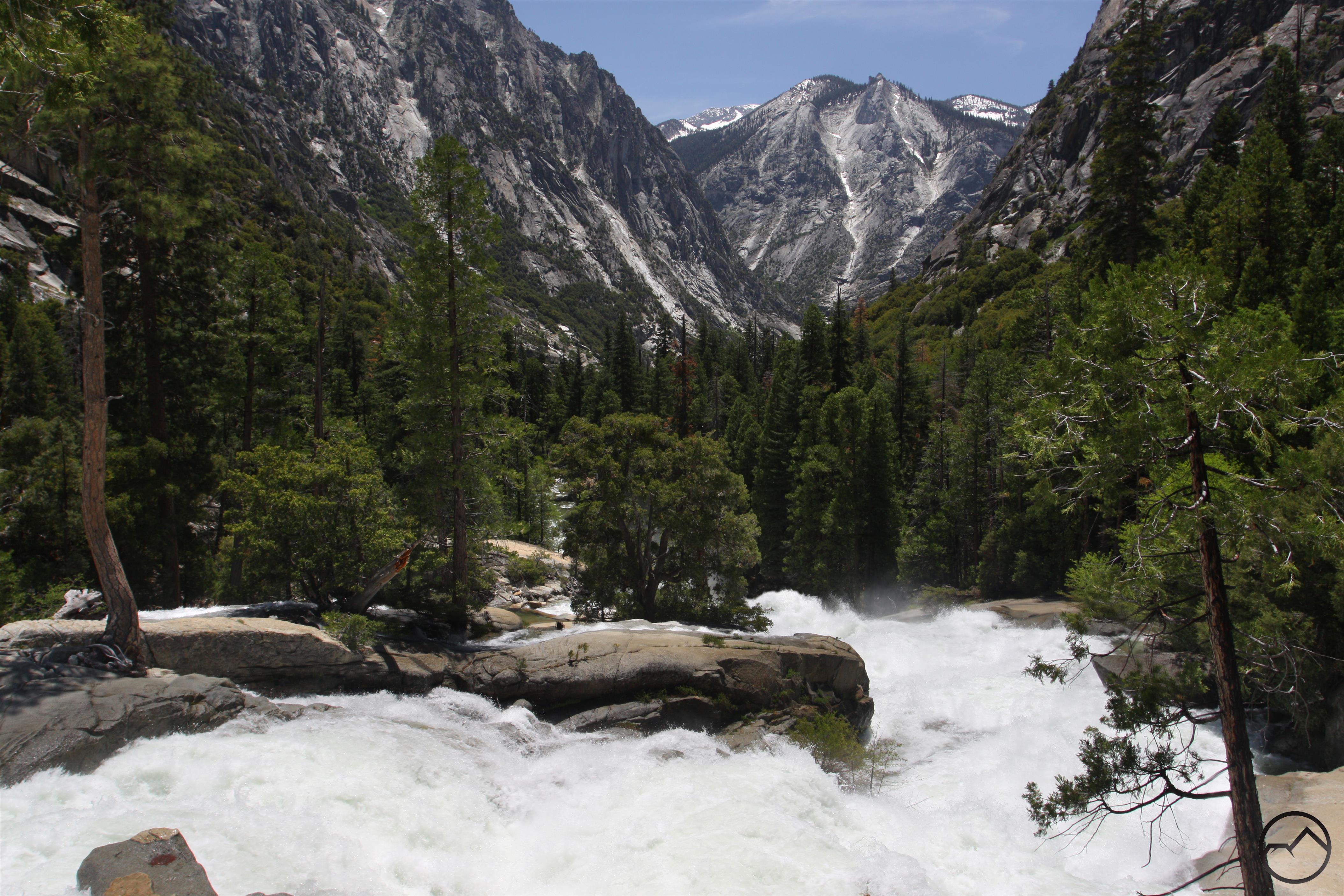
In June, I hit the Sierra Nevada hard for the first time and this is where it starts to get really difficult to pick just one image. I journey along the western slope of the Sierra, beginning at Sequoia National Park and working my way north through Kings Canyon, Yosemite and up to Lake Tahoe. I finished the trip with hikes in the far northern part of the Sierra Nevada, in the Lakes Basin area and the Bucks Lake Wilderness.


I traveled back to the Sierra Nevada again in July and finished off the northern part of the range, including trails in Sierra Buttes and the Yuba River headwaters. I immersed myself in the Desolation Wilderness for a few days before heading south and making my first foray into the High Sierra. It was rough, let me tell you.


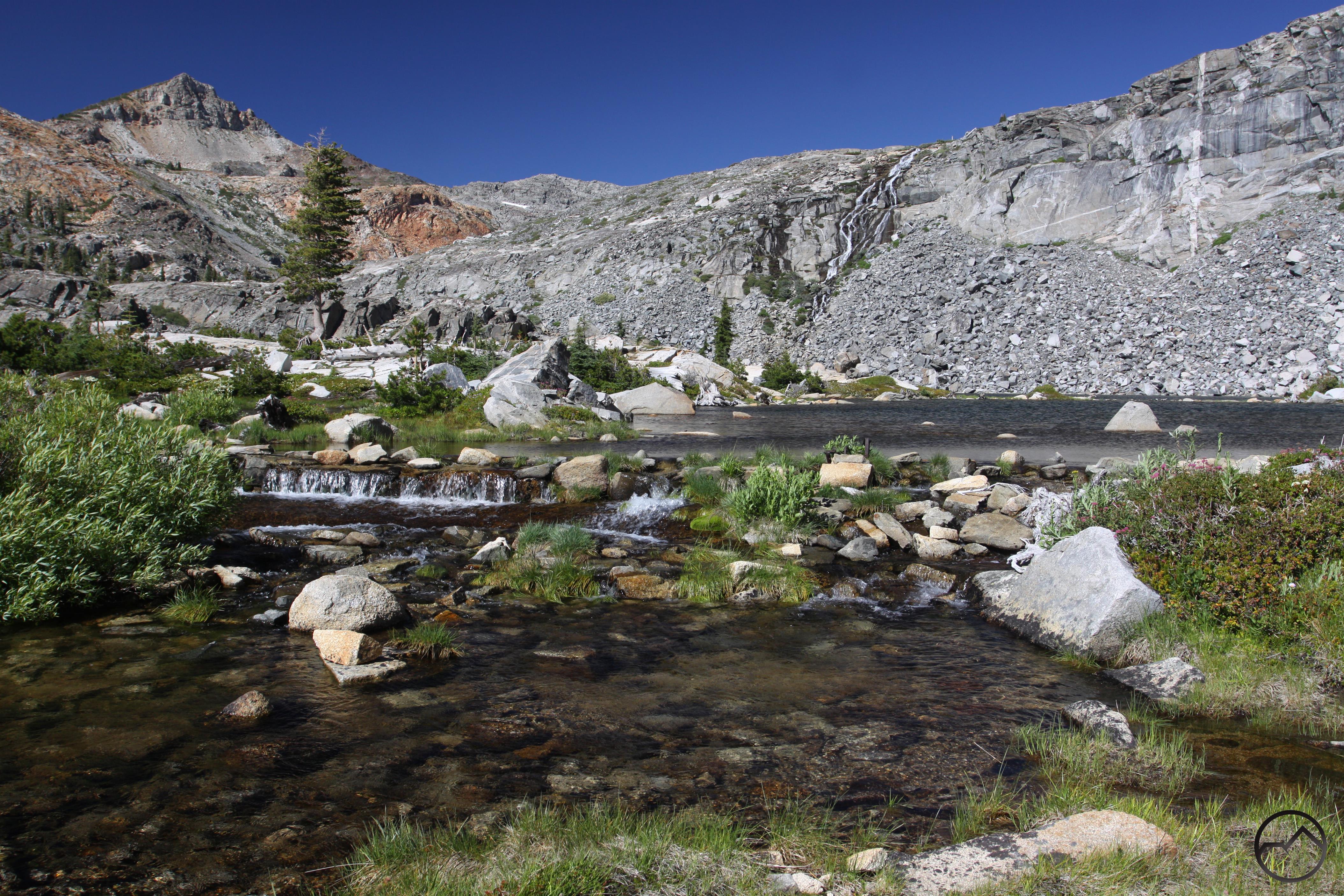
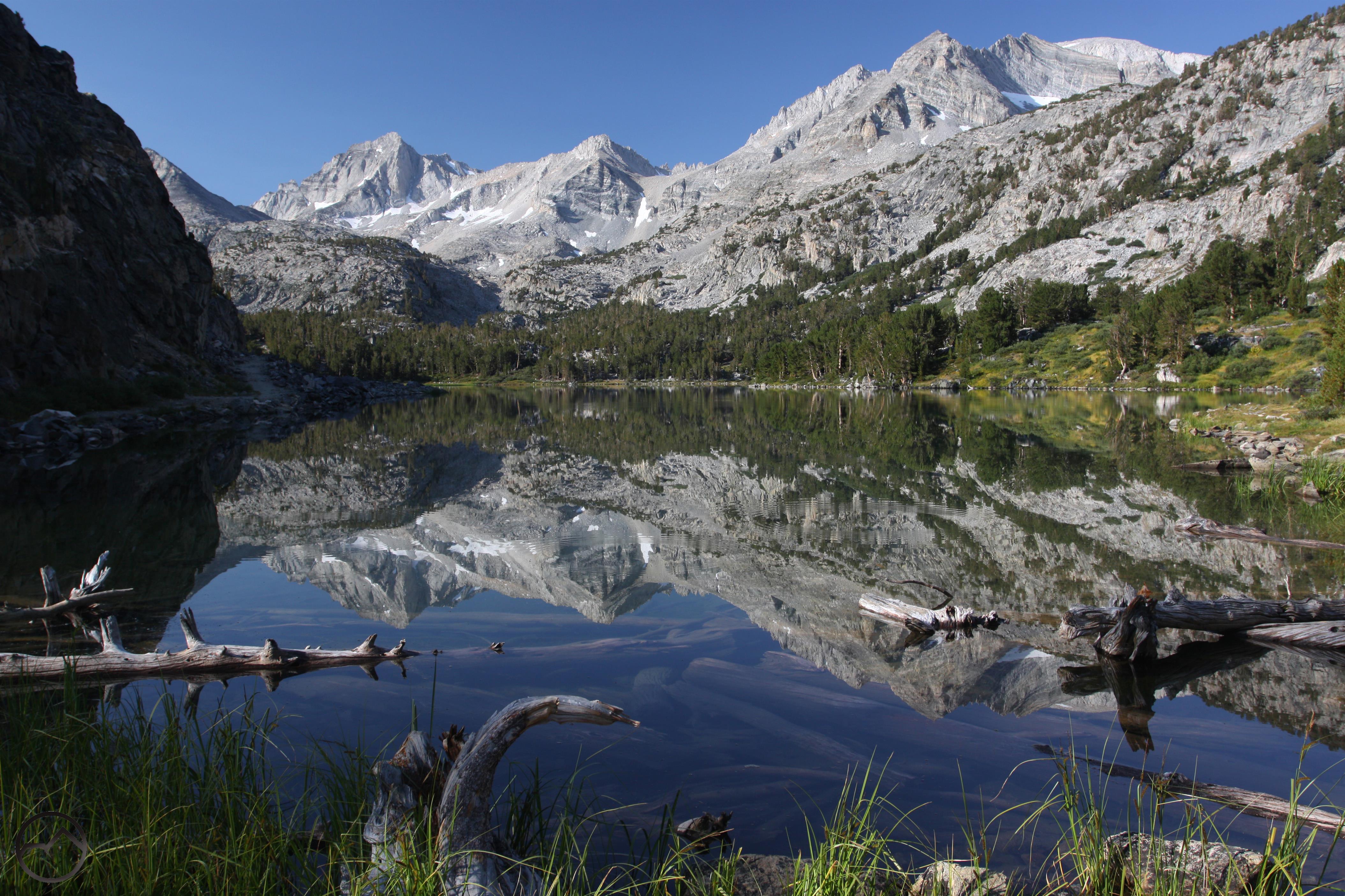
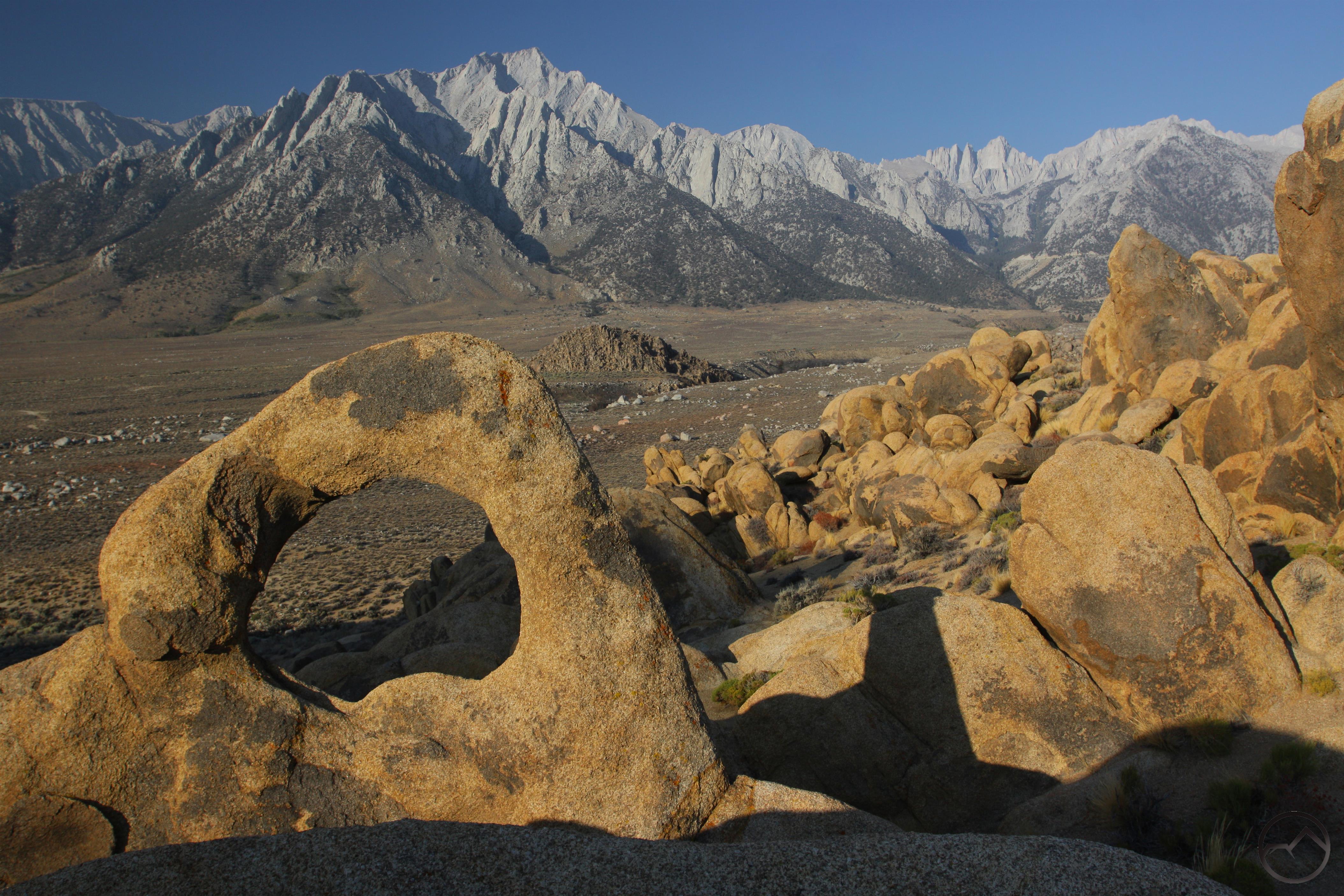
I August, I spent a couple days mopping up in the Central Sierra, before I headed down to the Sequoia area again and then swung south to Mojave. From there I worked my way up the Eastern Sierra Nevada, delighting in the the treasure that is the High Sierra. This was an exceptional trip.


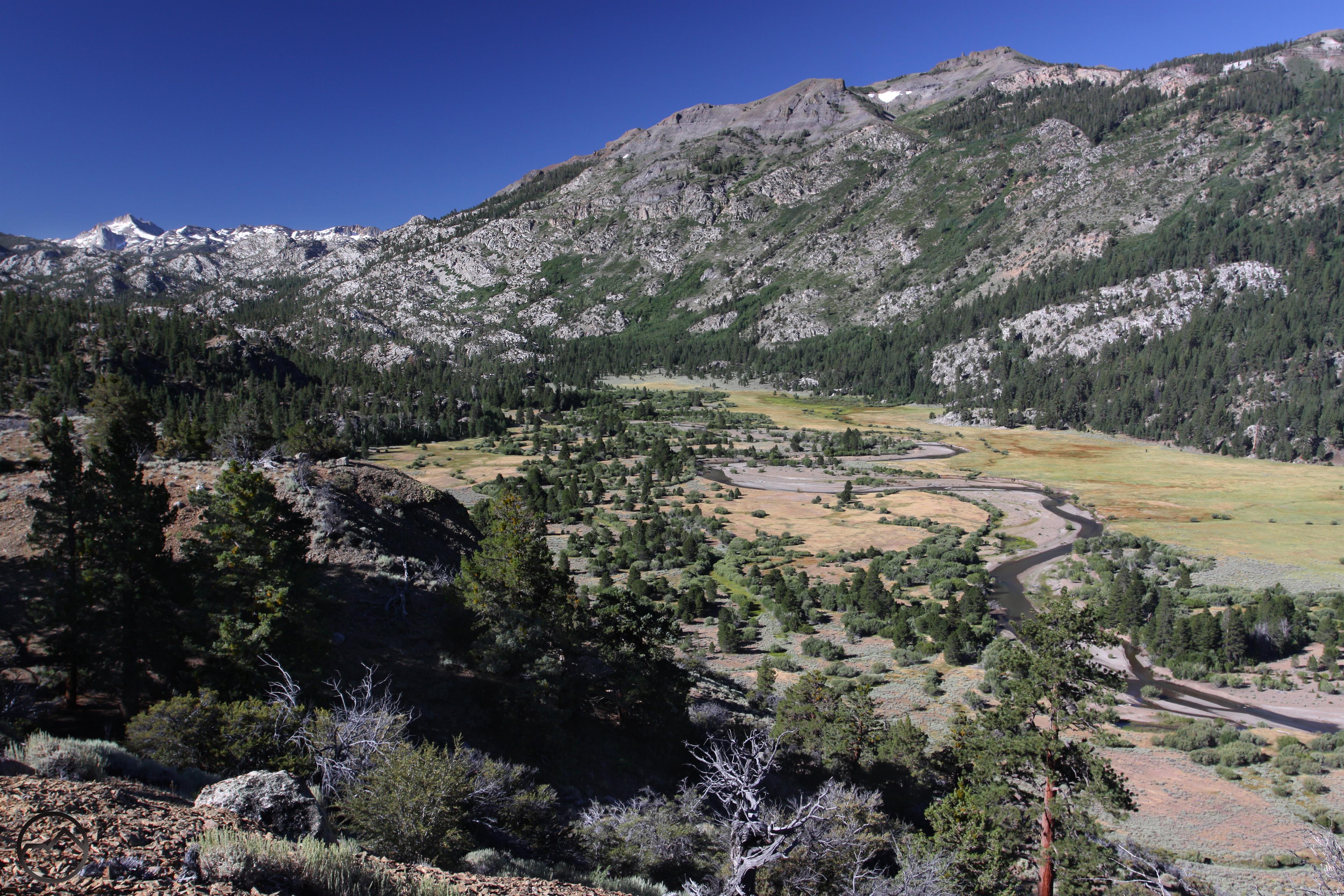
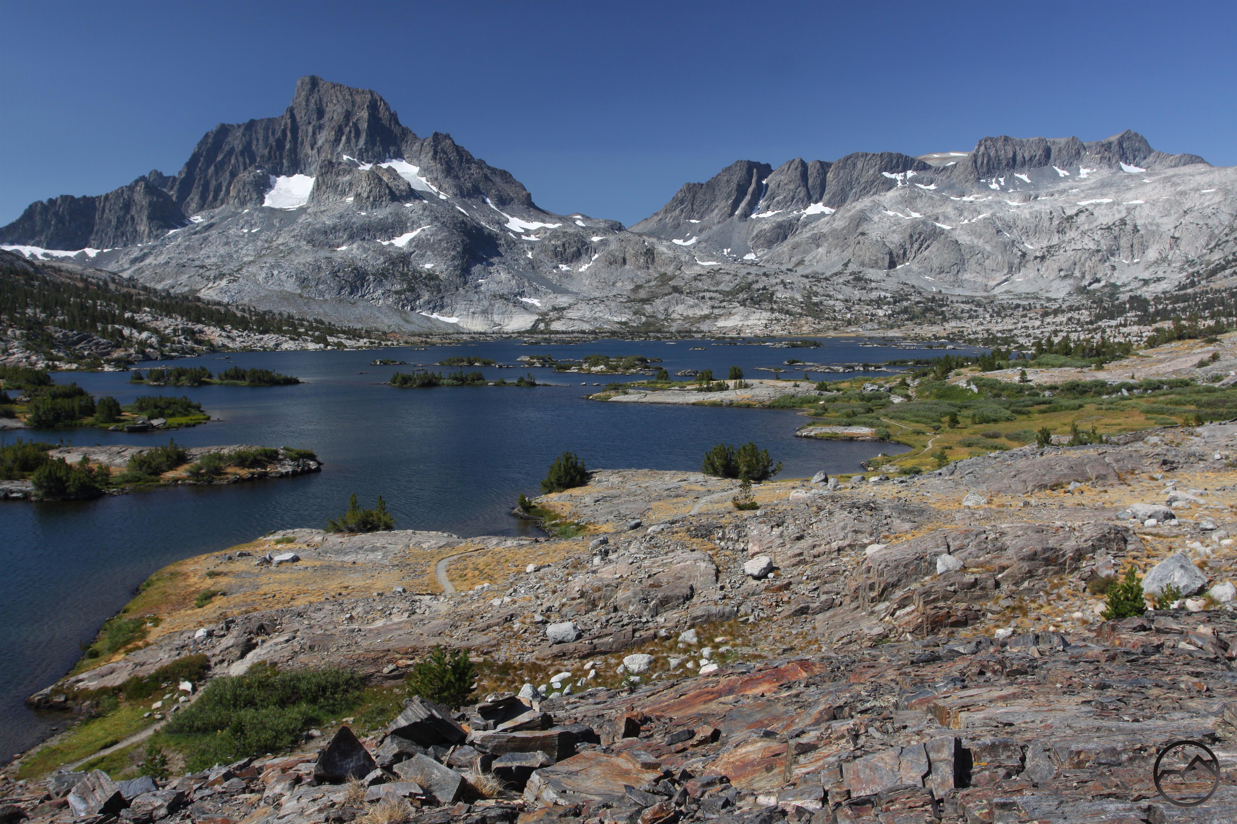
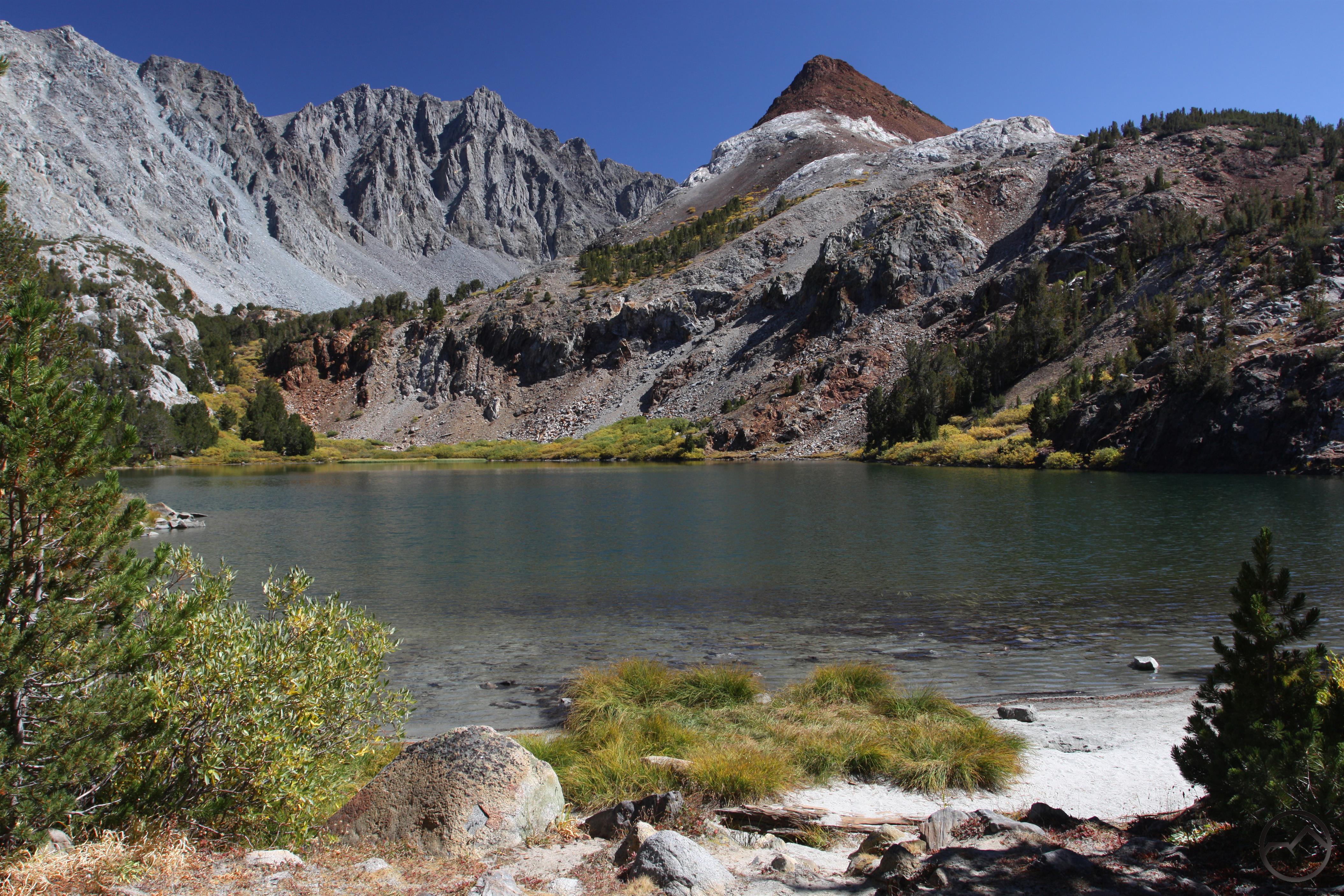
In September I made one last solo trip down to the High Sierra and had a great time hiking some phenomenal trails. Fall color was just beginning to appear in the higher elevations. Nonetheless, the days were clear and crisp and the scenery utterly spectacular.


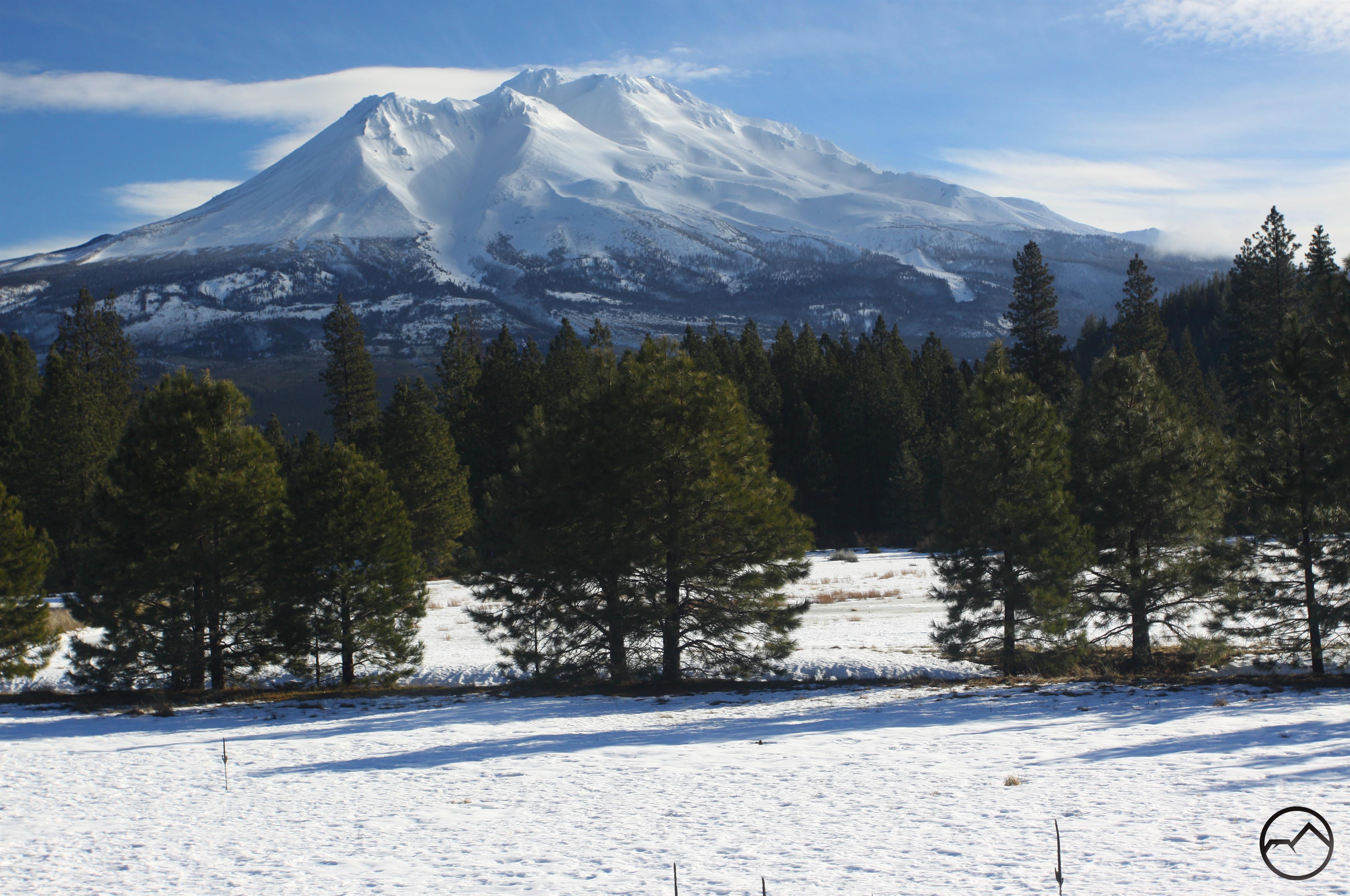
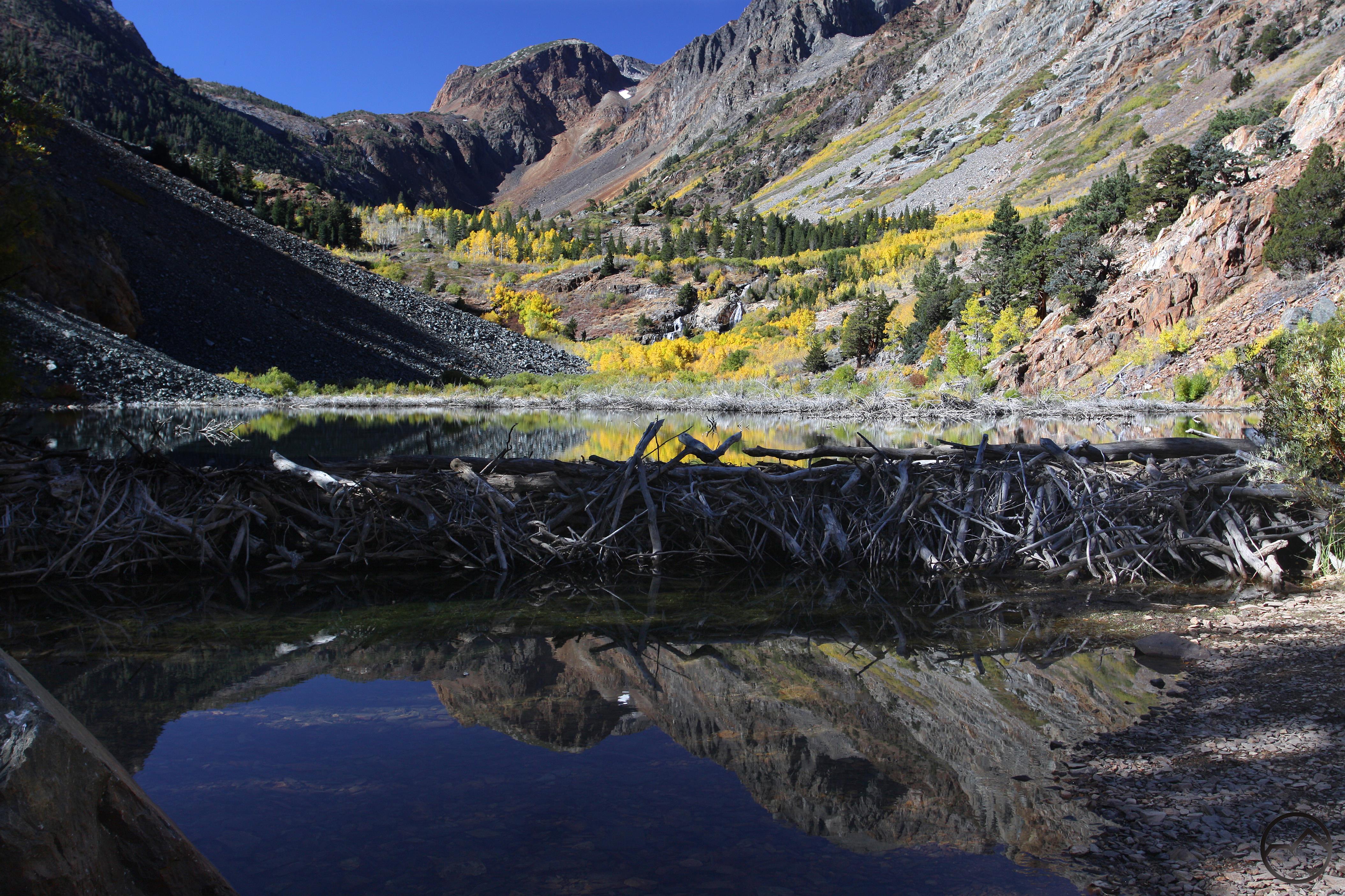
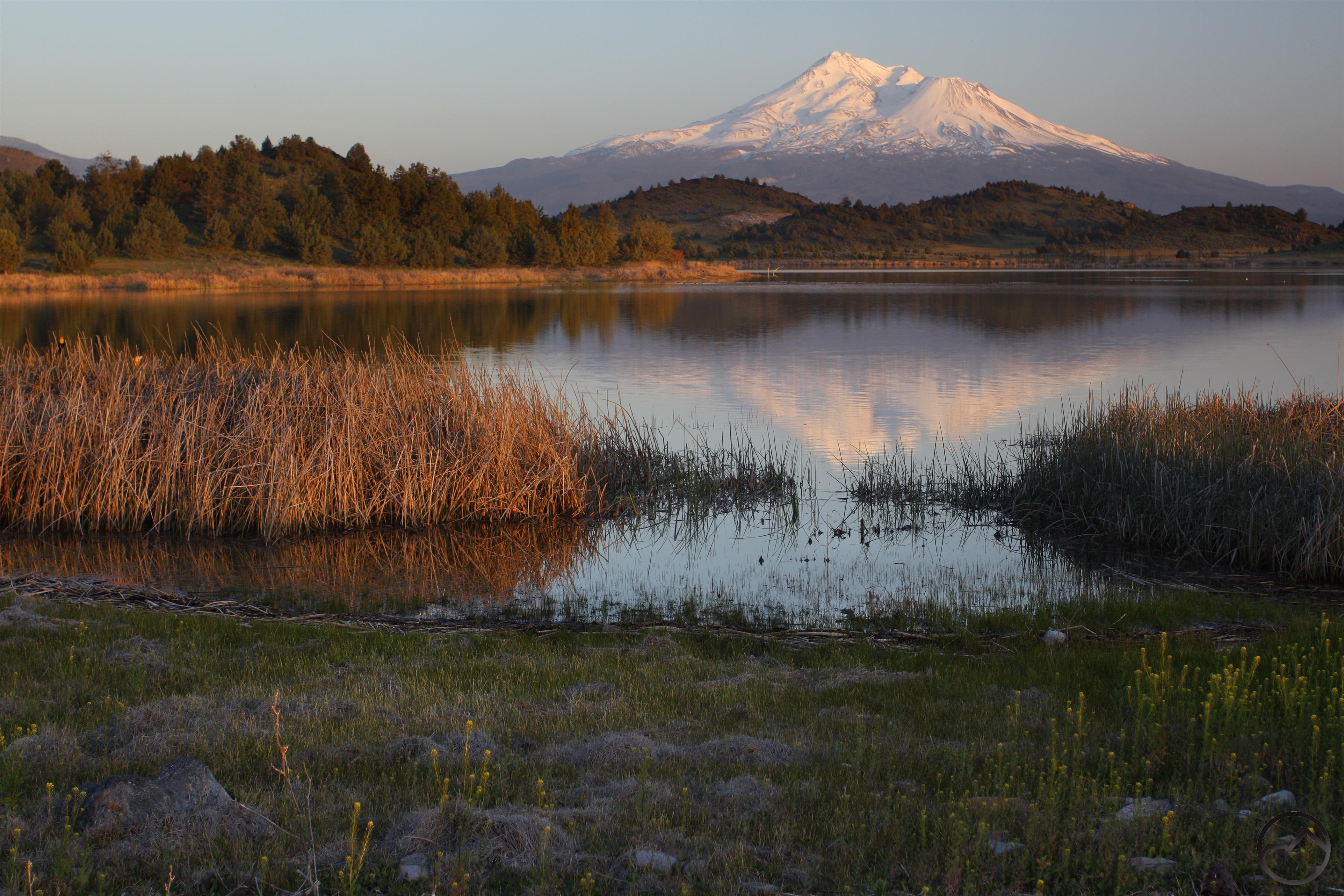
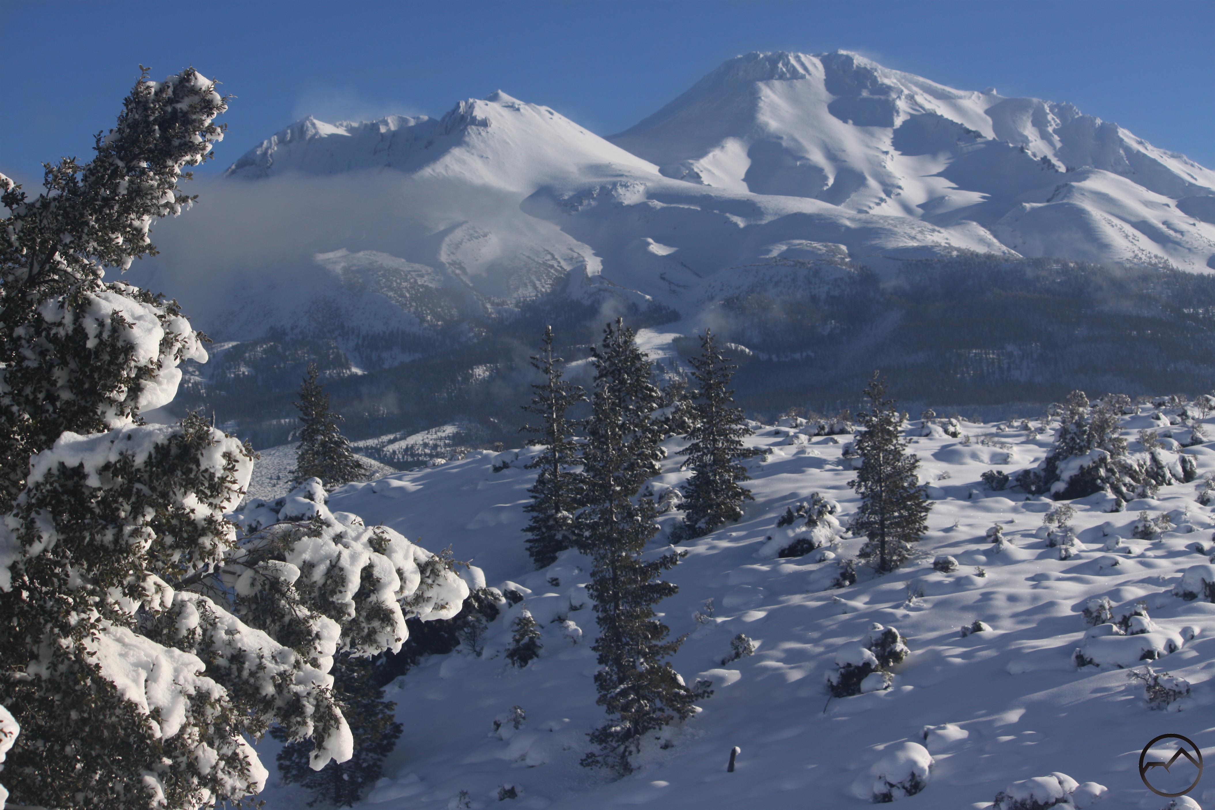
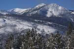
Most of October was spent wrapping up the writing of my book. I was nonetheless able to take a trip back down to Mammoth with my wife and kids to enjoy the fall color that manifests so magnificently down there. After that, it was back to Mount Shasta, where several great lenticulars made adjusting to photographing the sights up here a lot easier.


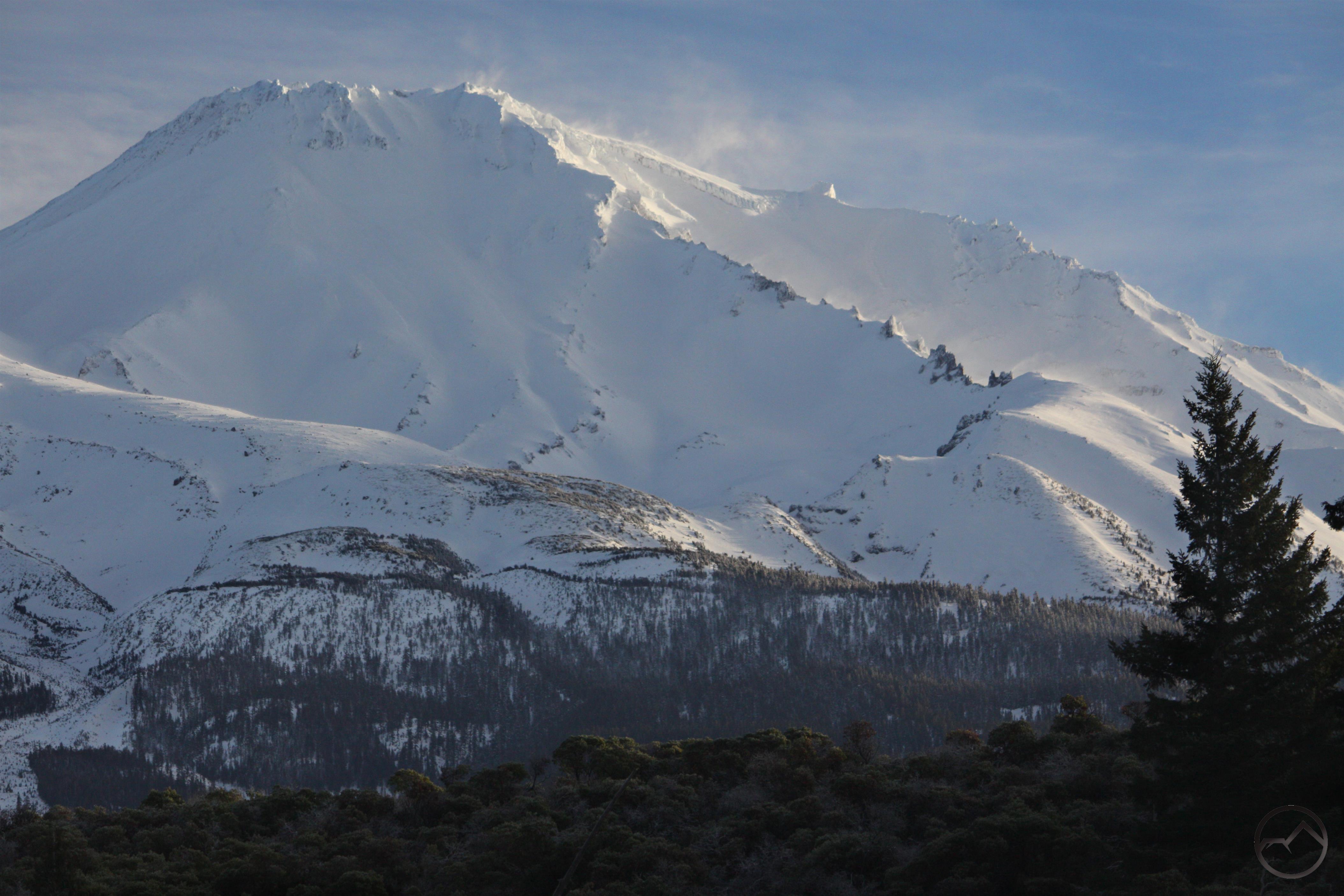
Mount Shasta once again became to focus of my attention in November. My book was done and I could get back to early morning sunrises on the mountain. I already miss being on the road but it nice to be back home, in the shadow of the mountain, enjoying its splendid vistas.


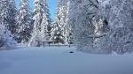
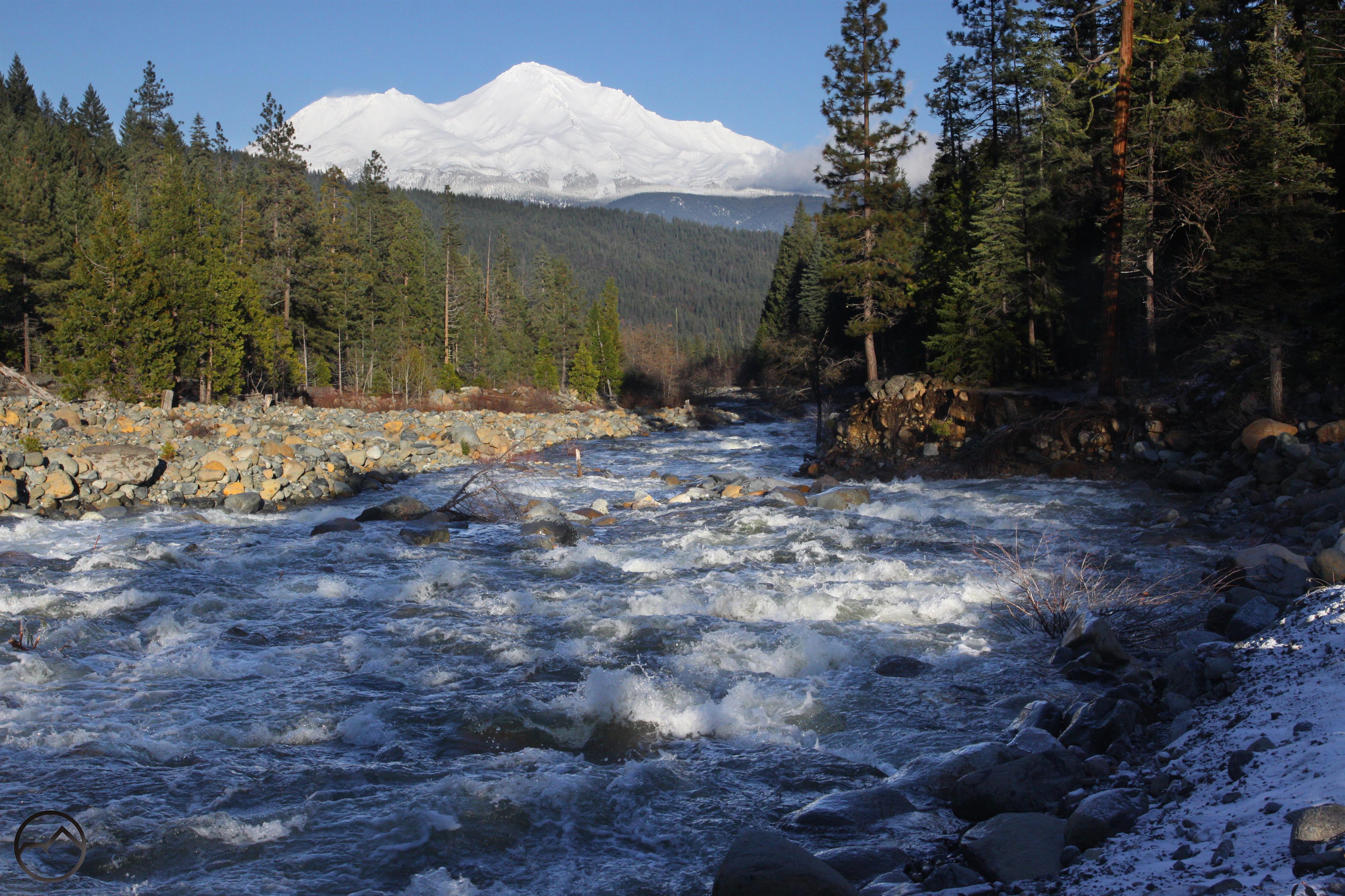
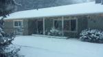
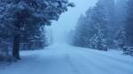
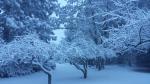
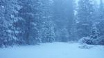
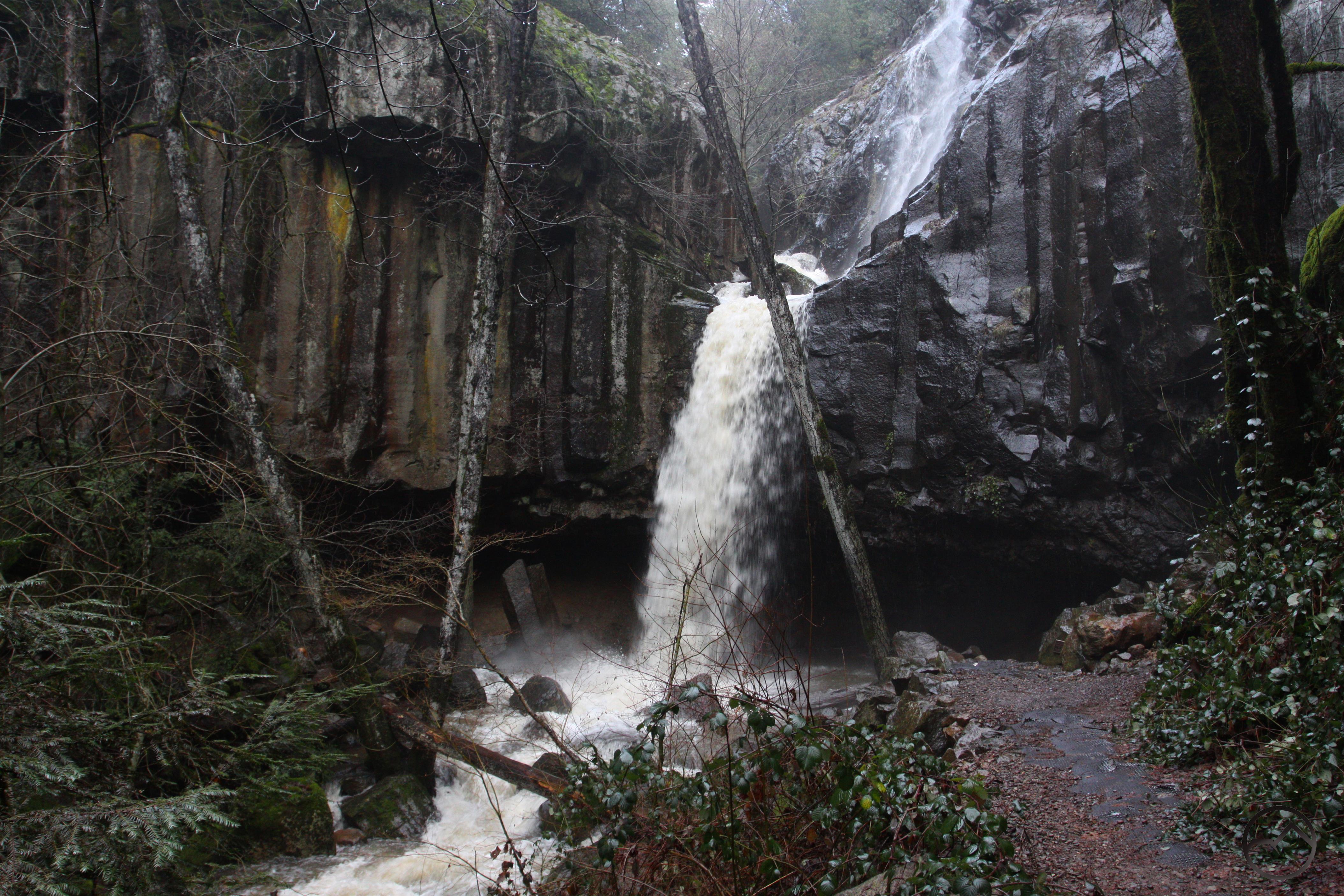
December has seen lots of rain and snow and once again the rivers are full and the land blanketed in beautiful white. Winter seems to have gotten off to a great start as we close in on 2017. It was an exceptional year, one that I will never forget. I am already starting to miss it.
Have a blessed 2017 everybody. I will see you on the trail!

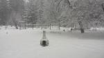
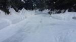
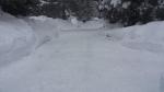
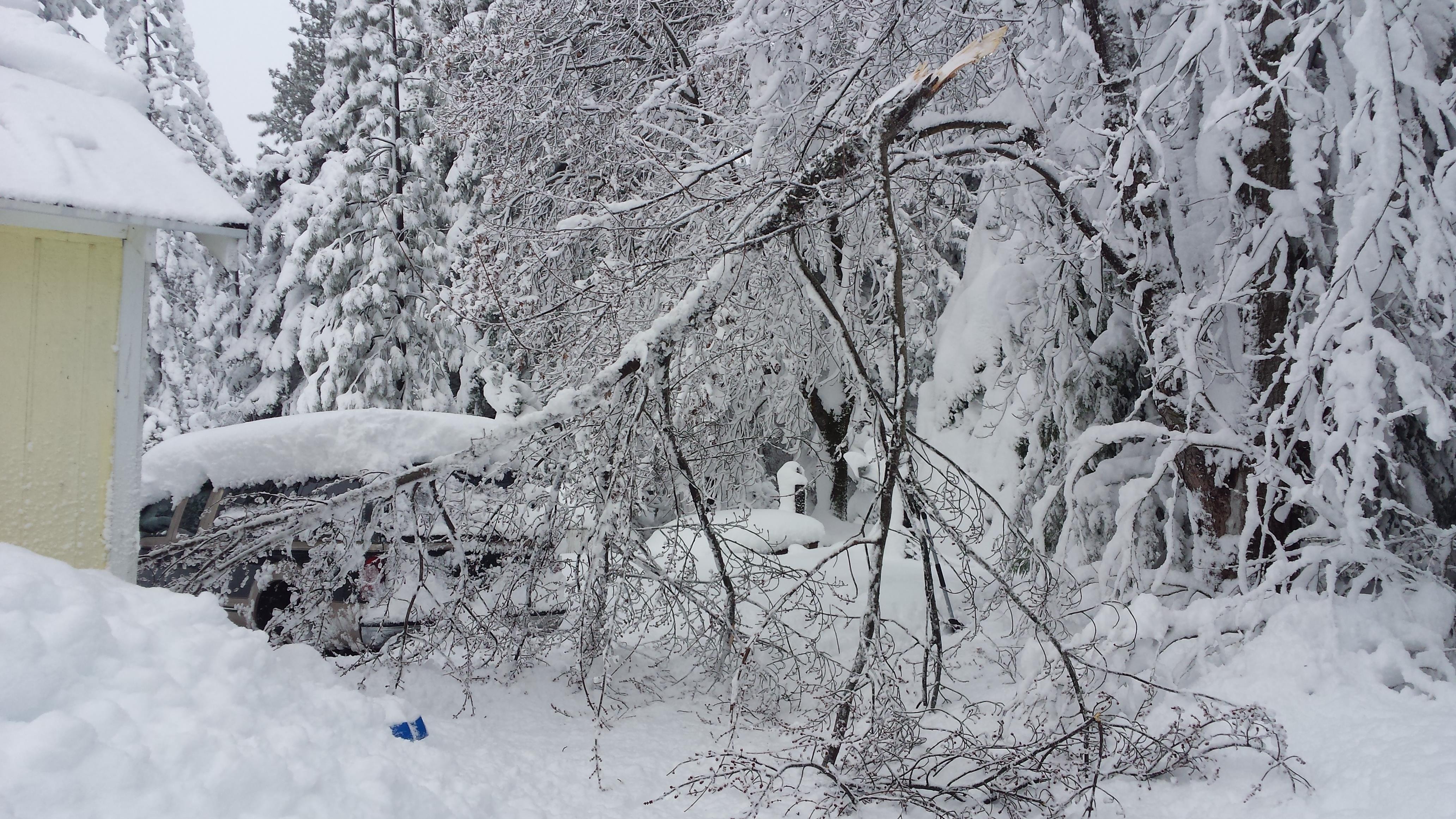
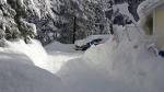
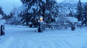
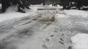
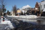
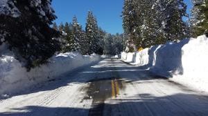
 Back on the home front, I had an unusual experience. The road I live on has had so much snow piled up on it that it had pretty much narrowed down from two lanes to one. The wide margins were gone and much of the pavement was swallowed up by towering ice berms. Though two cars could carefully pass, that was becoming a precarious proposition. Today, however, the county pulled out its giant rotary snowplow. This incredibly powerful machine is essentially a giant snow blower. It inched its way down both sides of the street and effortlessly ate away at 6 feet of ice on either side of the road. The sheer icy walls on either side of the pavement were 10-12 feet high! It was an inspiring sight!
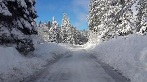
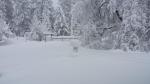
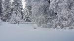
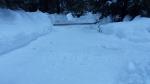
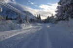
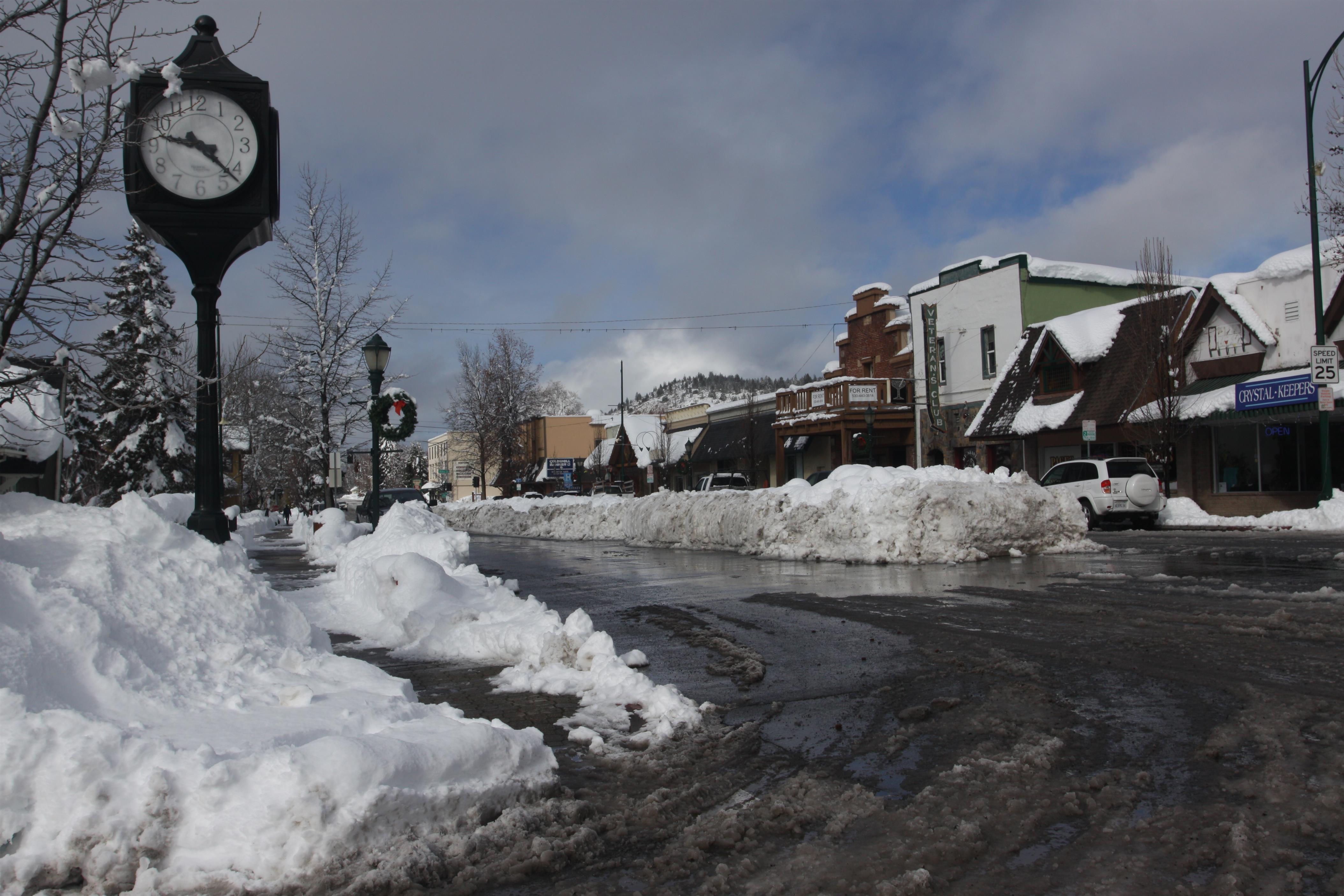
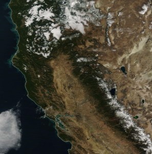
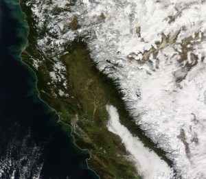
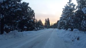
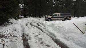
 As things settle down and get back to normal, the forecast already shows signs of more snow on the horizon. My kids continue to love playing in the snow. In particular, my 7 year old son has taken to using small, claw-shaped shovels to do some basic ice-climbing onto the roof of the garage. I am impressed with just how much this kid loves the snow. He seems to be a natural. Although he has been through storms in the past, since there has been a prolonged drought, this is the first big one he has lived through and he (as well as his younger siblings) have handled it with aplomb. The drought is essentially over, thankfully. Check out the satellite images of the state from 2014 and 2017 here to get an idea how the conditions have changed. Those images are not including this latest, massive storm!