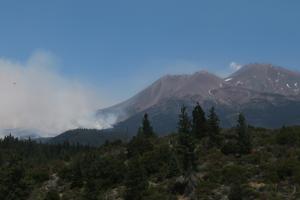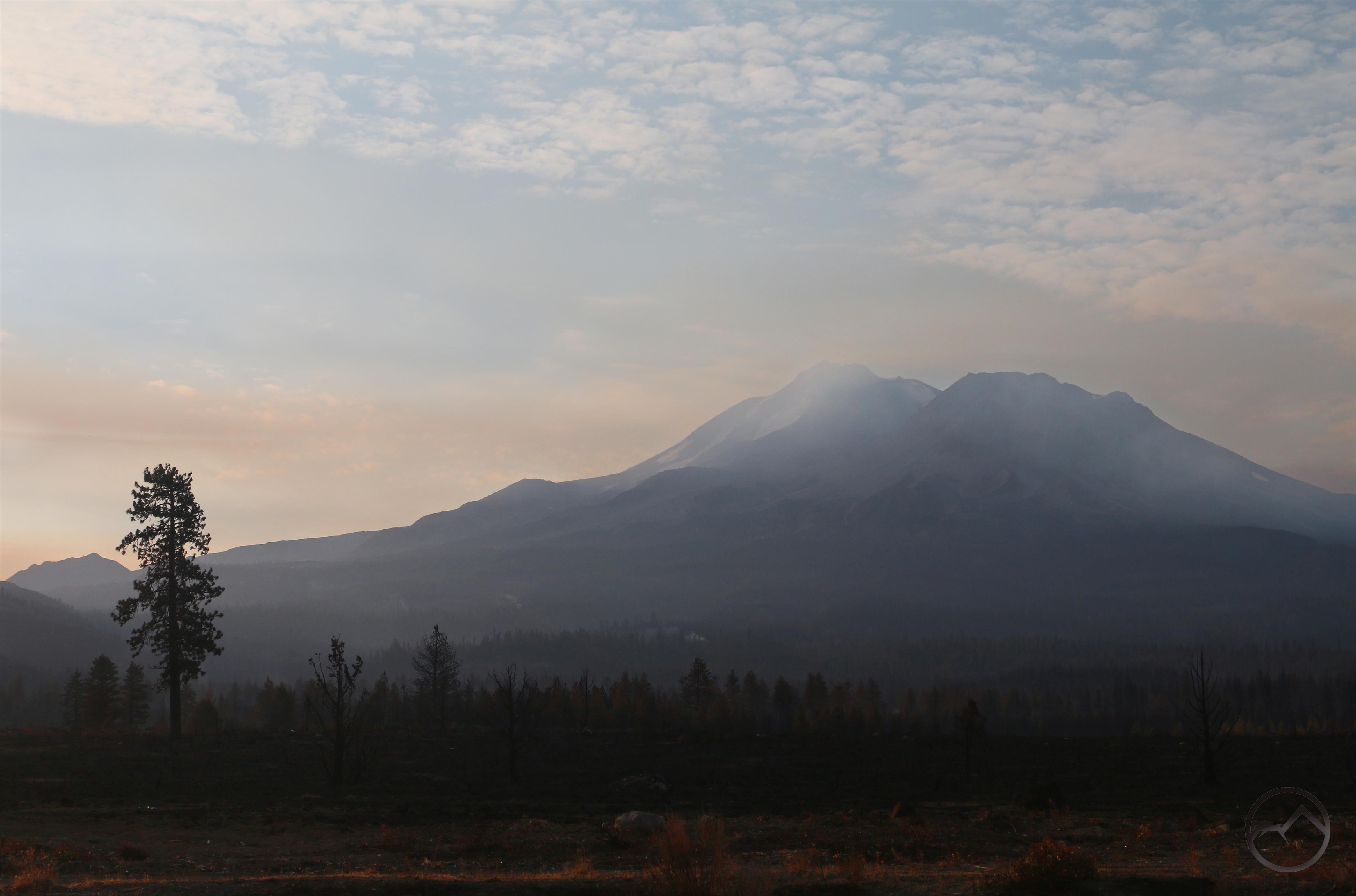
With the Lava Fire mostly out, small smoldering areas still create a haze around the summit.
The summer got off to a wild start for my family, as documented in part one of this short series looking at the Lava Fire. First boy scout camp, then covid and the fire raged simultaneously. Thankfully we all recovered, though the rode to health was challenging, to say the least.
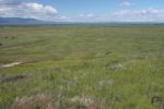
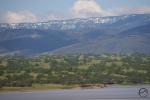
At the end of that was are long anticipated, and then dreaded, annual trip to Yosemite. It was incredibly hot and our lungs, having suffered the virus, were still recovering and not what they normally are. Though we flirted with canceling, we decided to go anyway and brave the conditions. This year we were in Yosemite for 4 days followed by three more days in the Lake Tahoe area. Temperatures in Yosemite Valley were as high as 103 degrees and the water level was low in the Merced and all the waterfalls. We dealt with that by heading to the high country where cooler temps prevailed and spending a lot of time in the water when back in the Valley. In the end, we were glad we went.
-
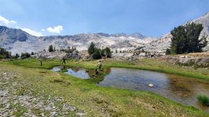
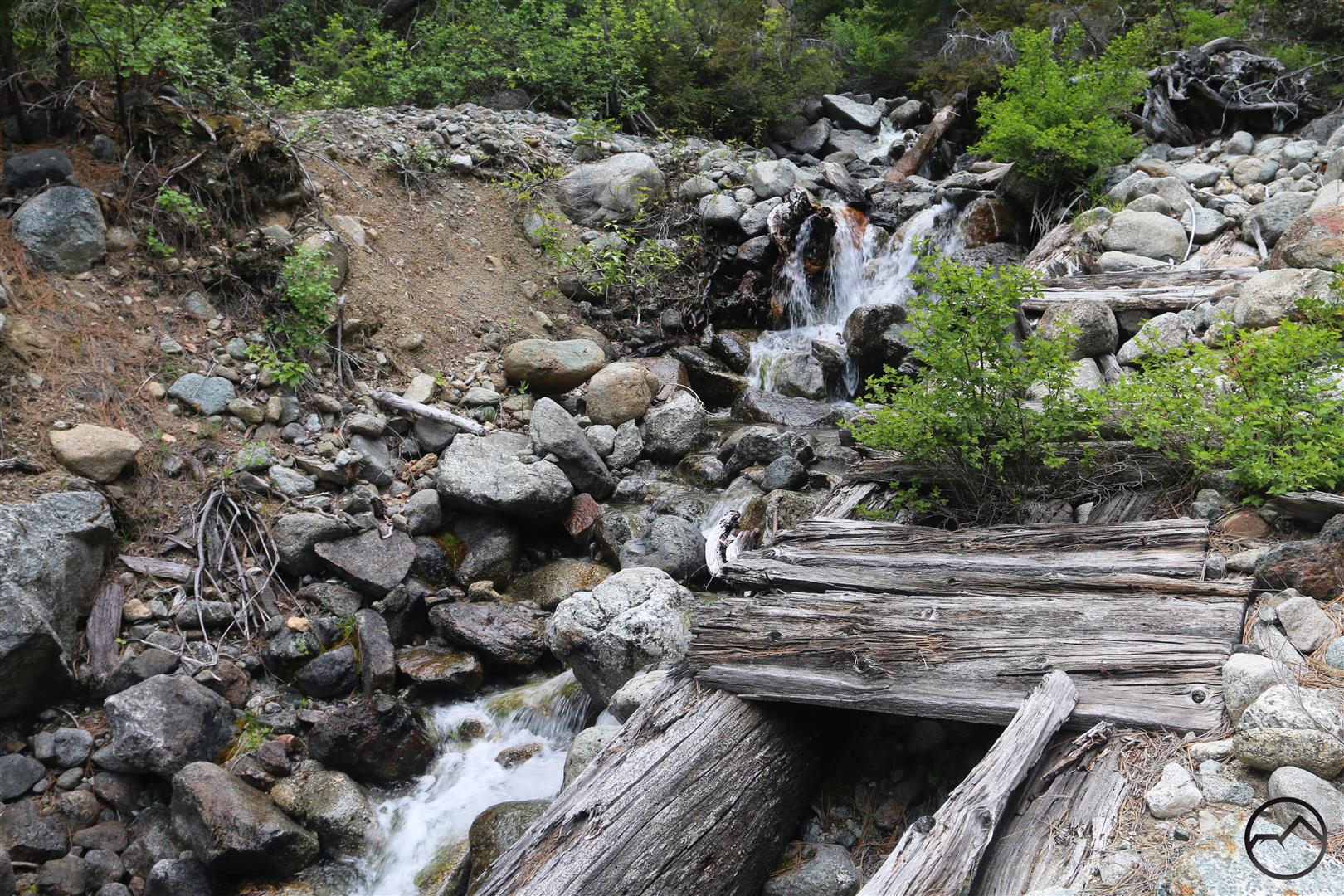
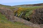
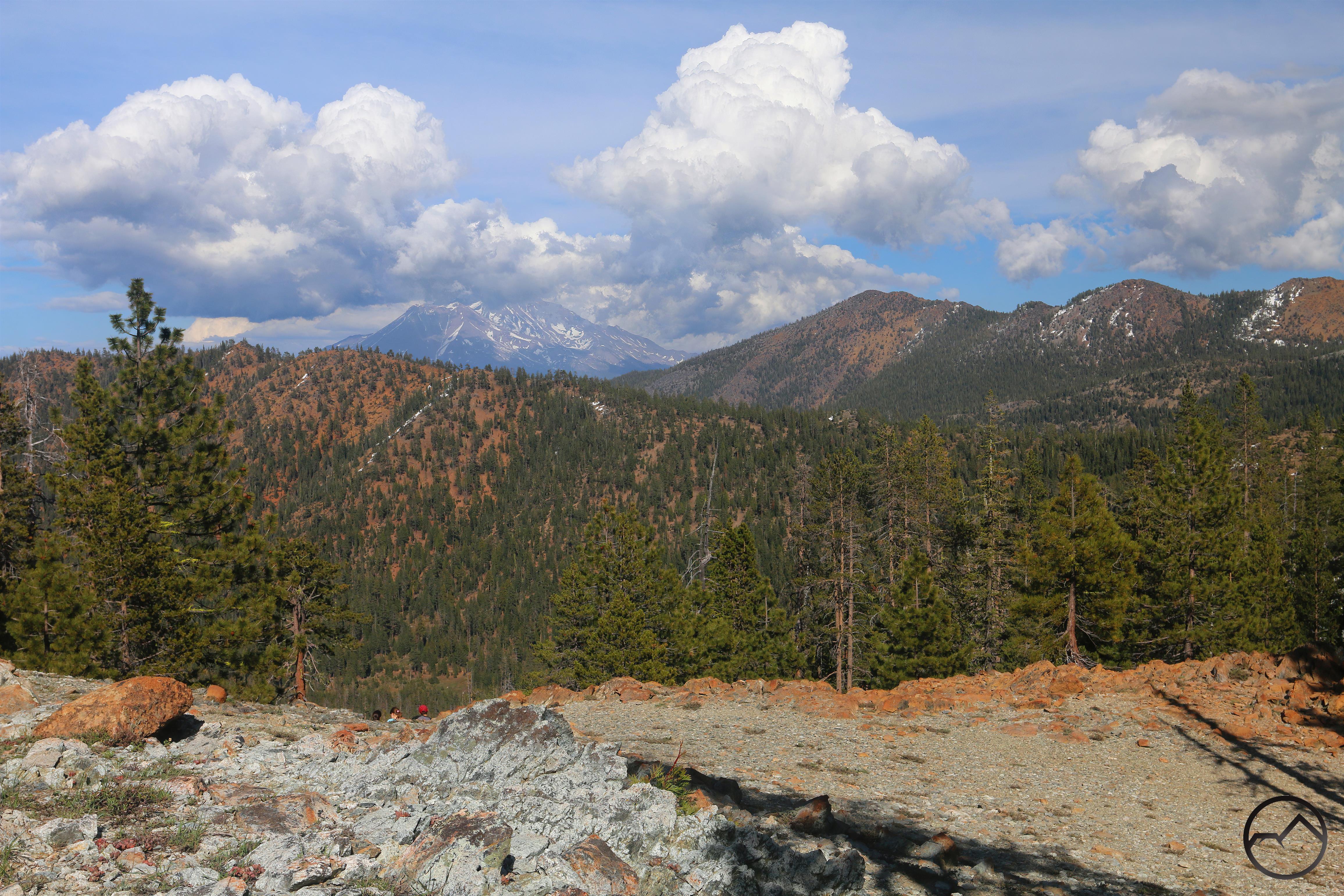
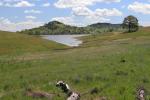
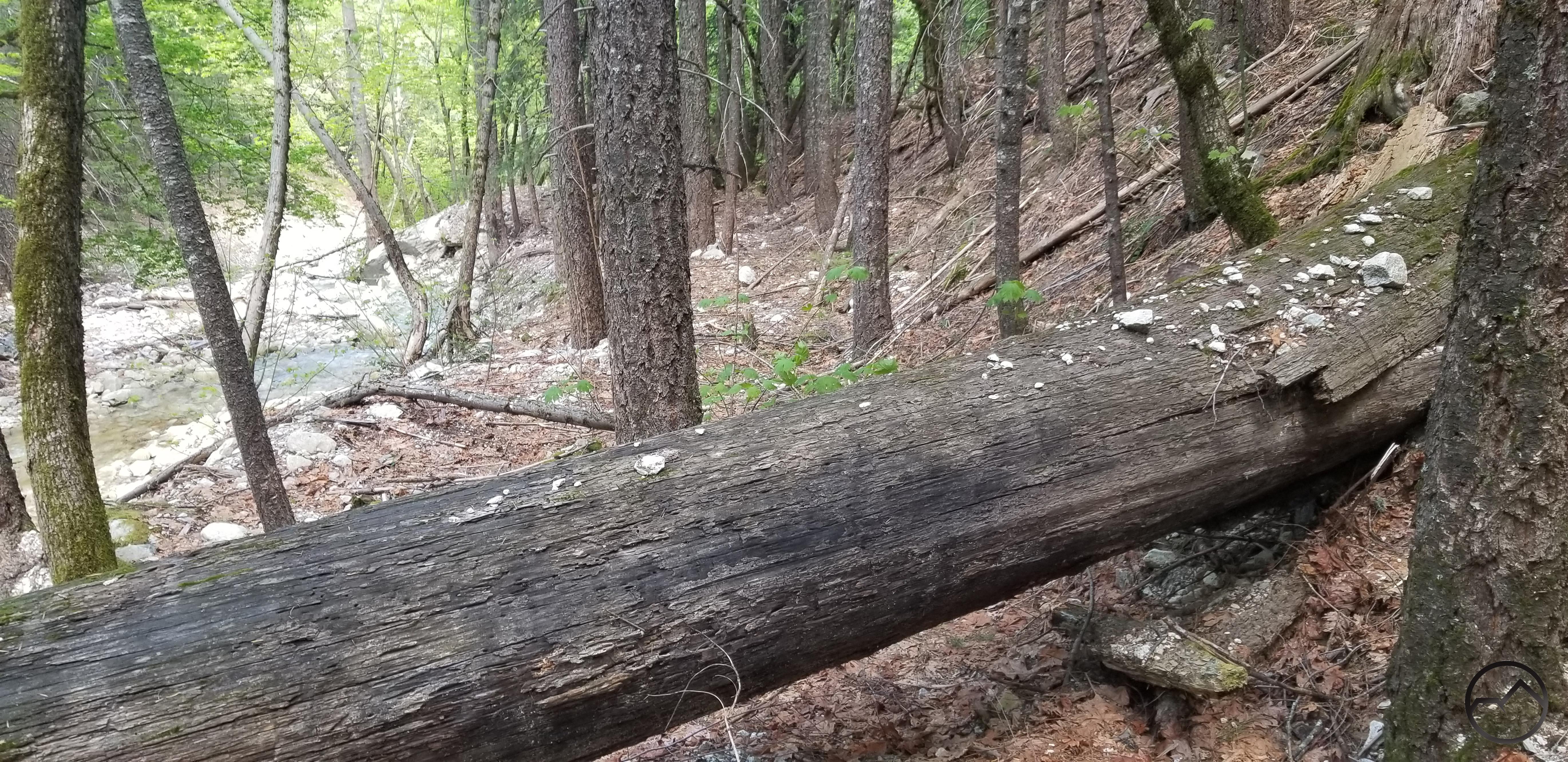
- Hiking to Cascade Lake. At nearly 10,500 feet, this hike had our recovering lungs working hard. In spite of that, the temperatures were nice and the mountains glorious. You can’t beat the High Sierra!
-
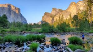
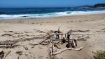
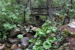
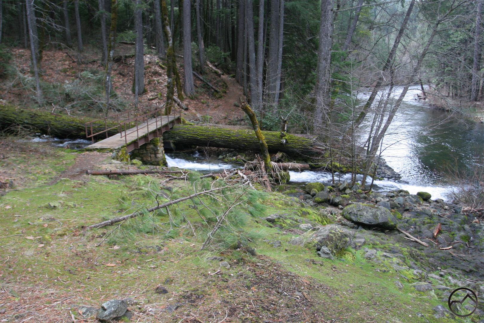
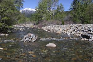
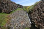
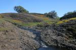
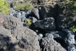
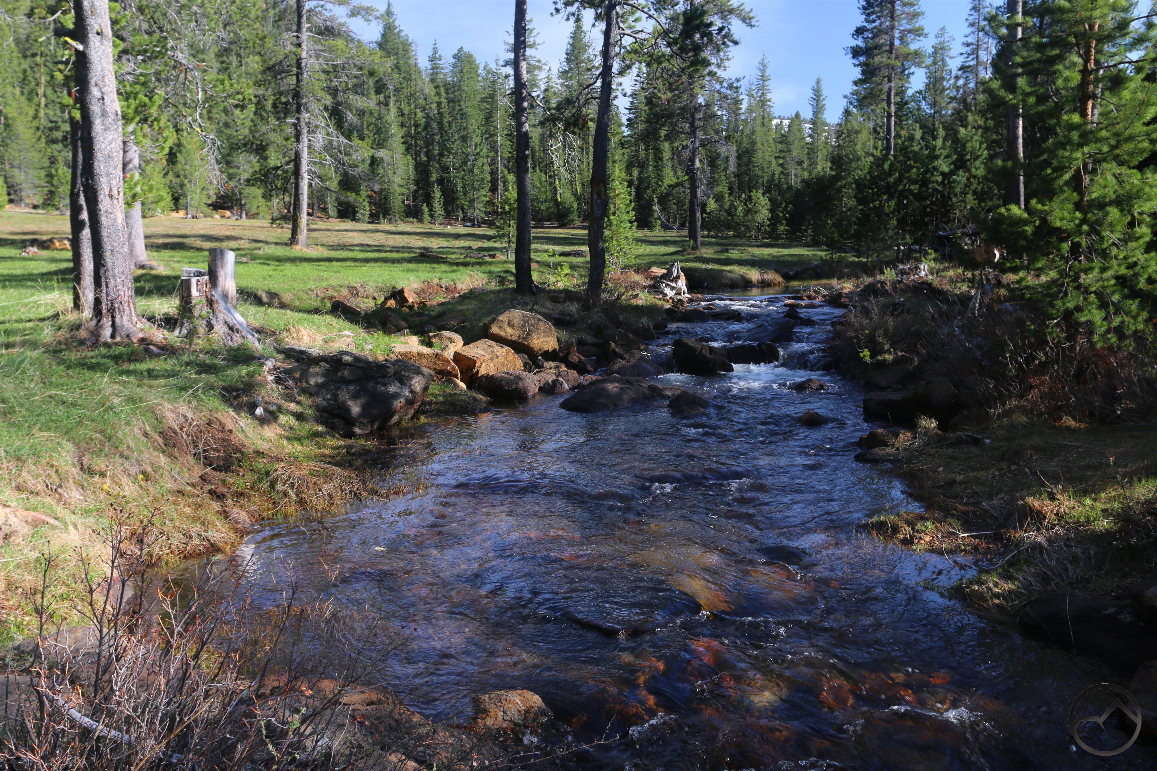
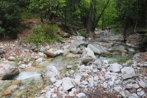
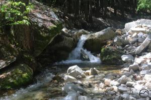
- When in Yosemite Valley, we stayed pretty close to the Merced. There was a lot of swimming, but my oldest son couldn’t resist fishing too. Not a bad place to drop your line!
-
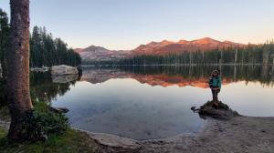
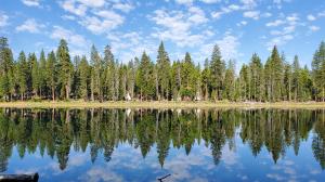
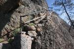
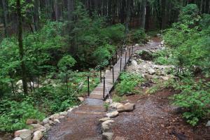
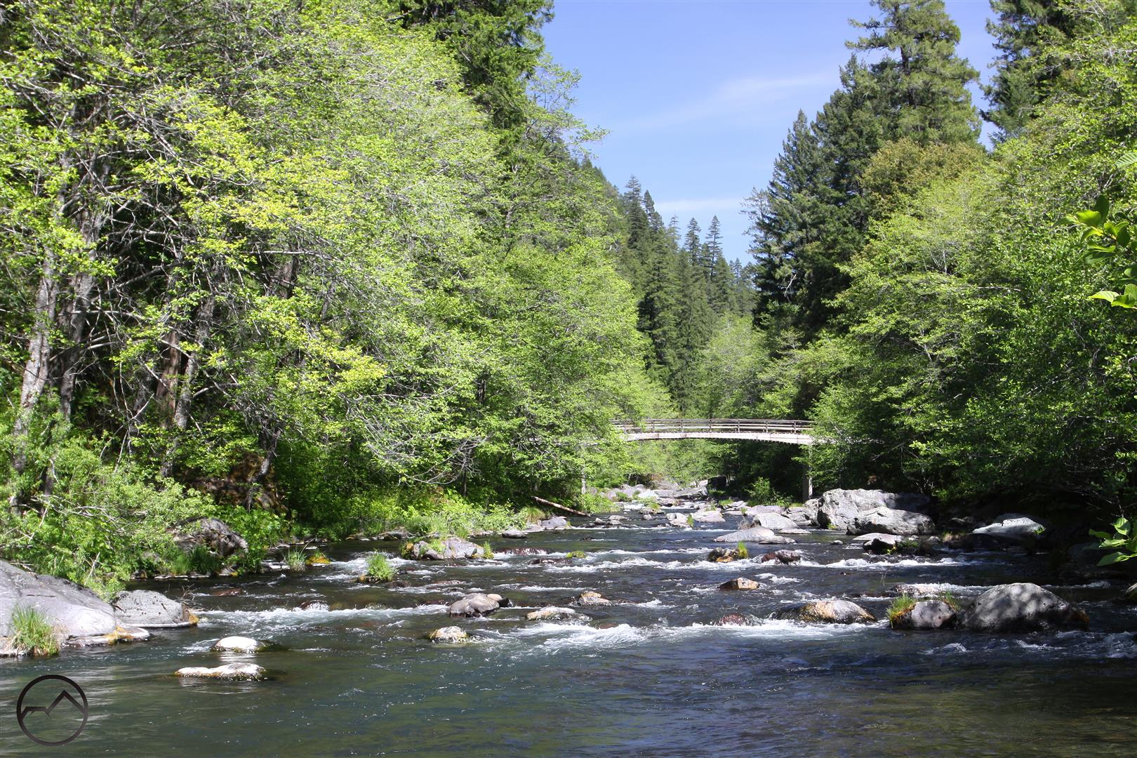
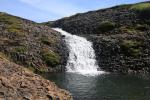
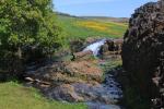
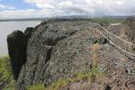
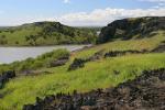
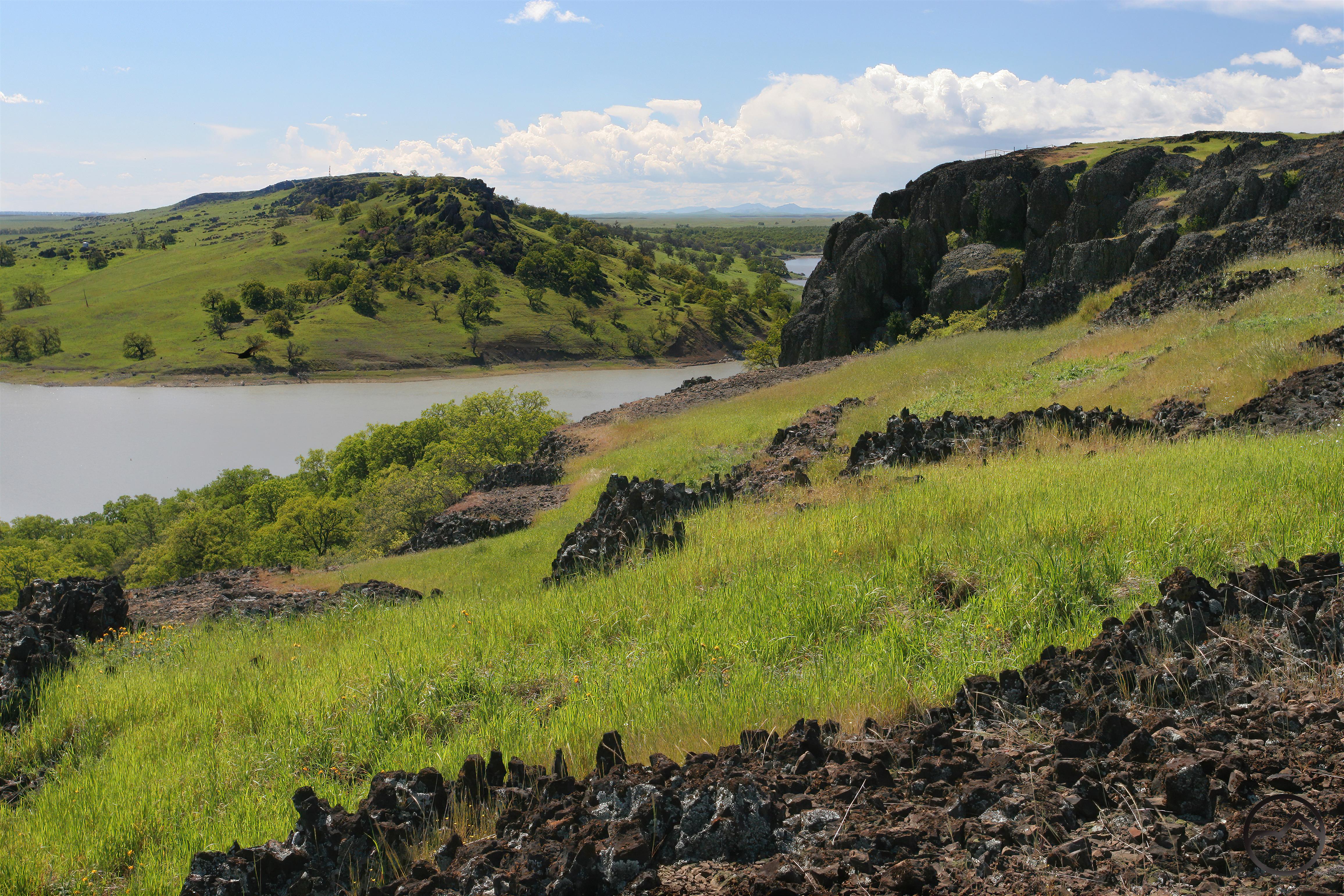
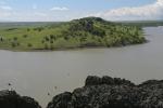
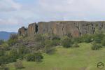
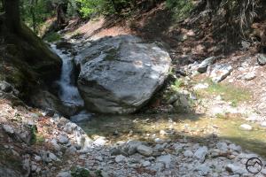
- After leaving Yosemite we headed down to the Lake Tahoe area and camped at Wrights Lake. This area is everything you could want in the Sierra: granite vistas, a beautiful lake and spectacular trails leaving from the area.
-
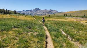
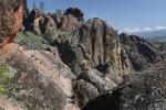
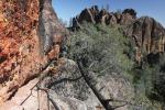
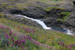
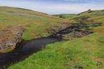
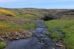
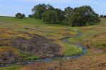
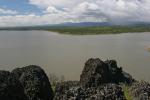
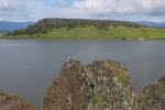
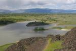
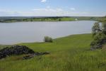
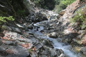
- Lake Tahoe itself is so croweded it is ridiculous but we love all the mountains surrounding it. In this case, the Meiss area in the Dardanelles is a personal favorite and it my family had a blast exploring it on their first visit.
We finally returned home to Mount Shasta to find the Lava Fire mostly out. It was time to poke around a bit and make my own assessment of the mountain’s new condition. Over several days, I made a few forays around the north side, along Highway 97, taking in all the changes.
-
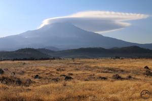
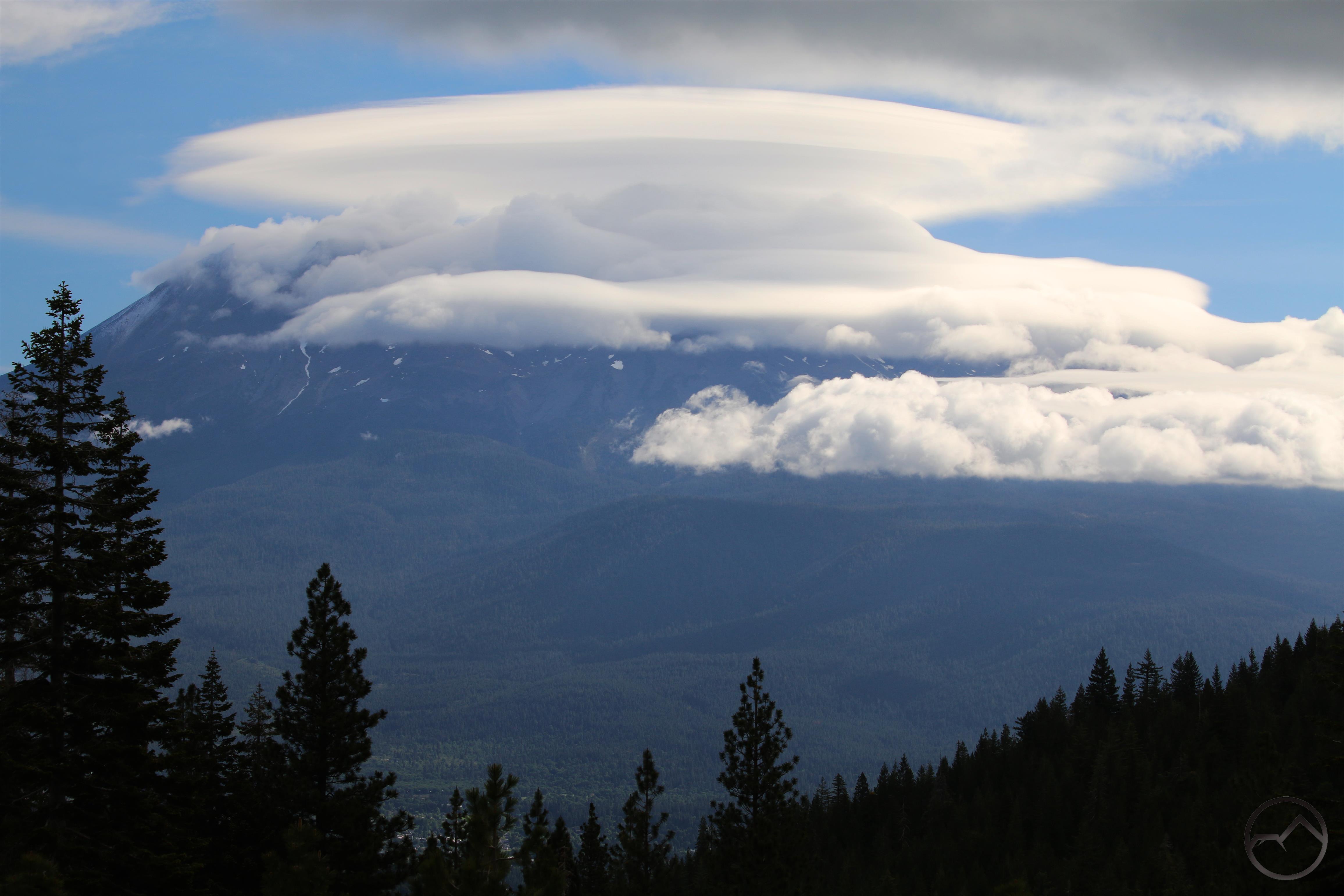
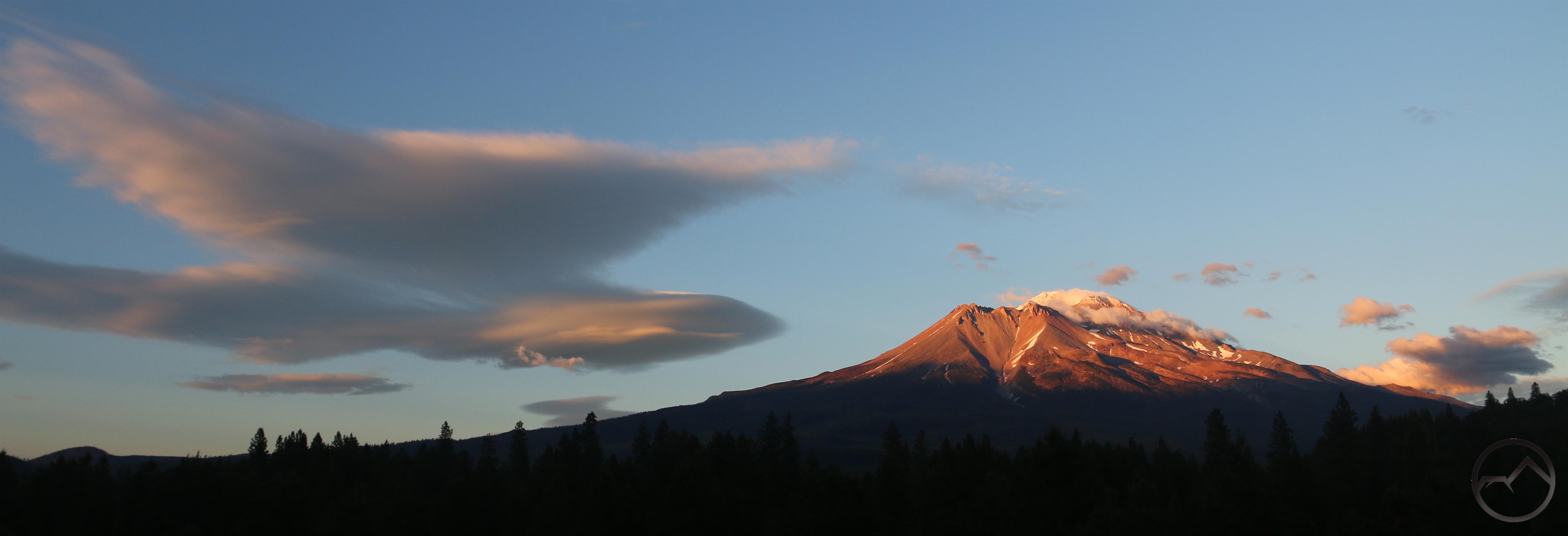
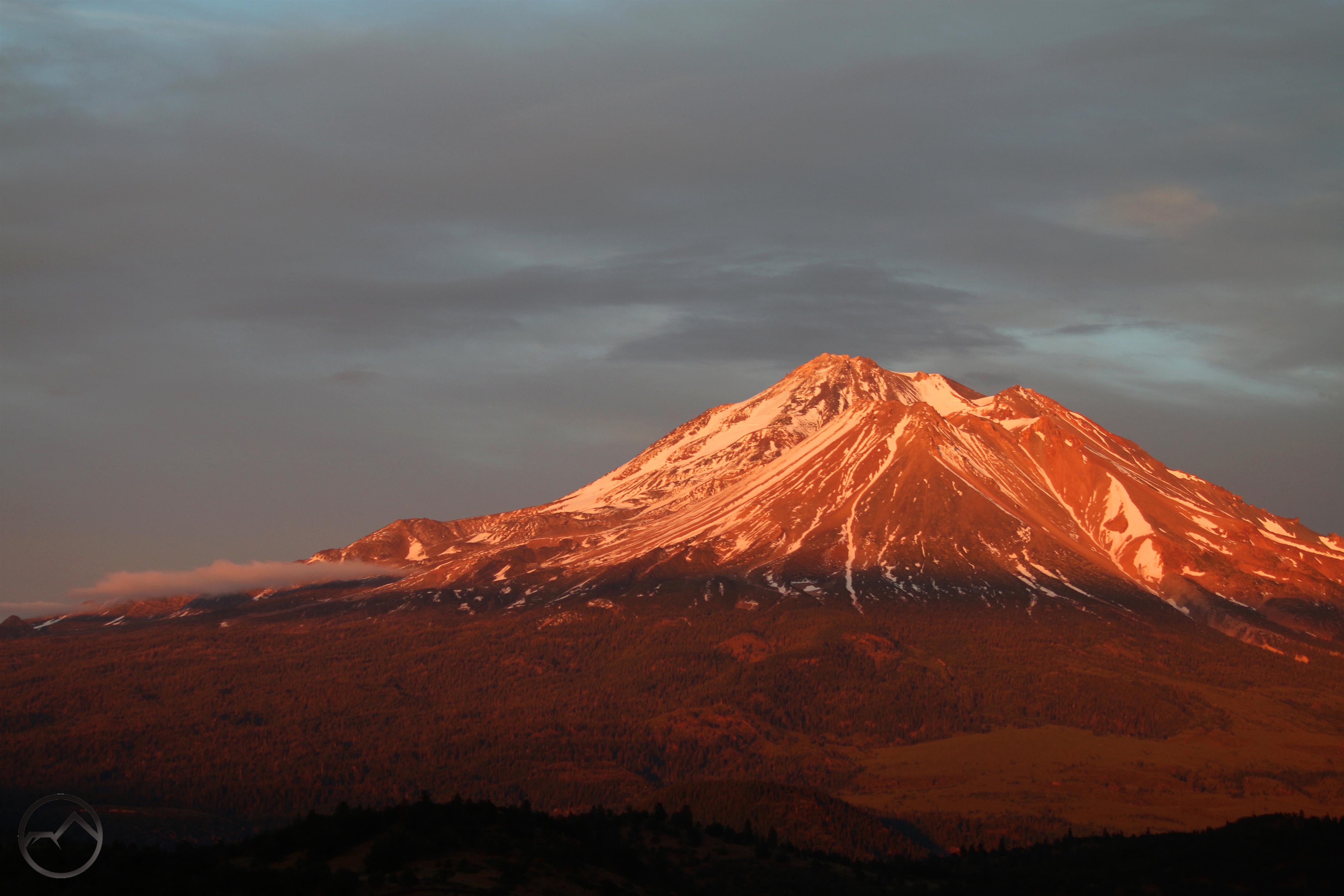
- The weather in July brought a few thunderstorms, the first of which was heralded by a lenticular on Mount Shasta. In the morning shadow, the mountain didn’t even look like there had been a fire.
-
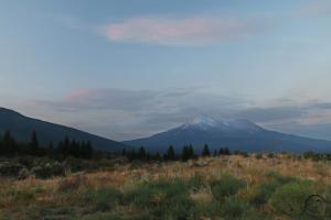
- Wind and conditions determined whether or not it was smoky around the mountain. At times, it was fairly clear but, for a while, even under the best conditions the smoldering fires left a bit of a haze.
-
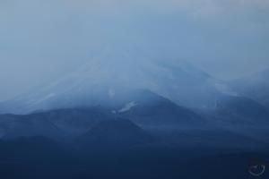
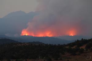
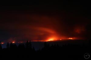
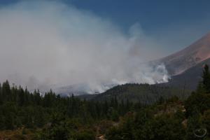
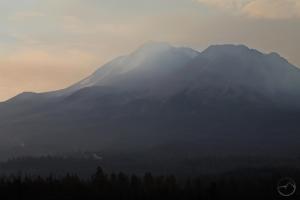
- Frequently, the smoke from the remains of the Lava Fire nearly obscured the summit of Mount Shasta completely.
-
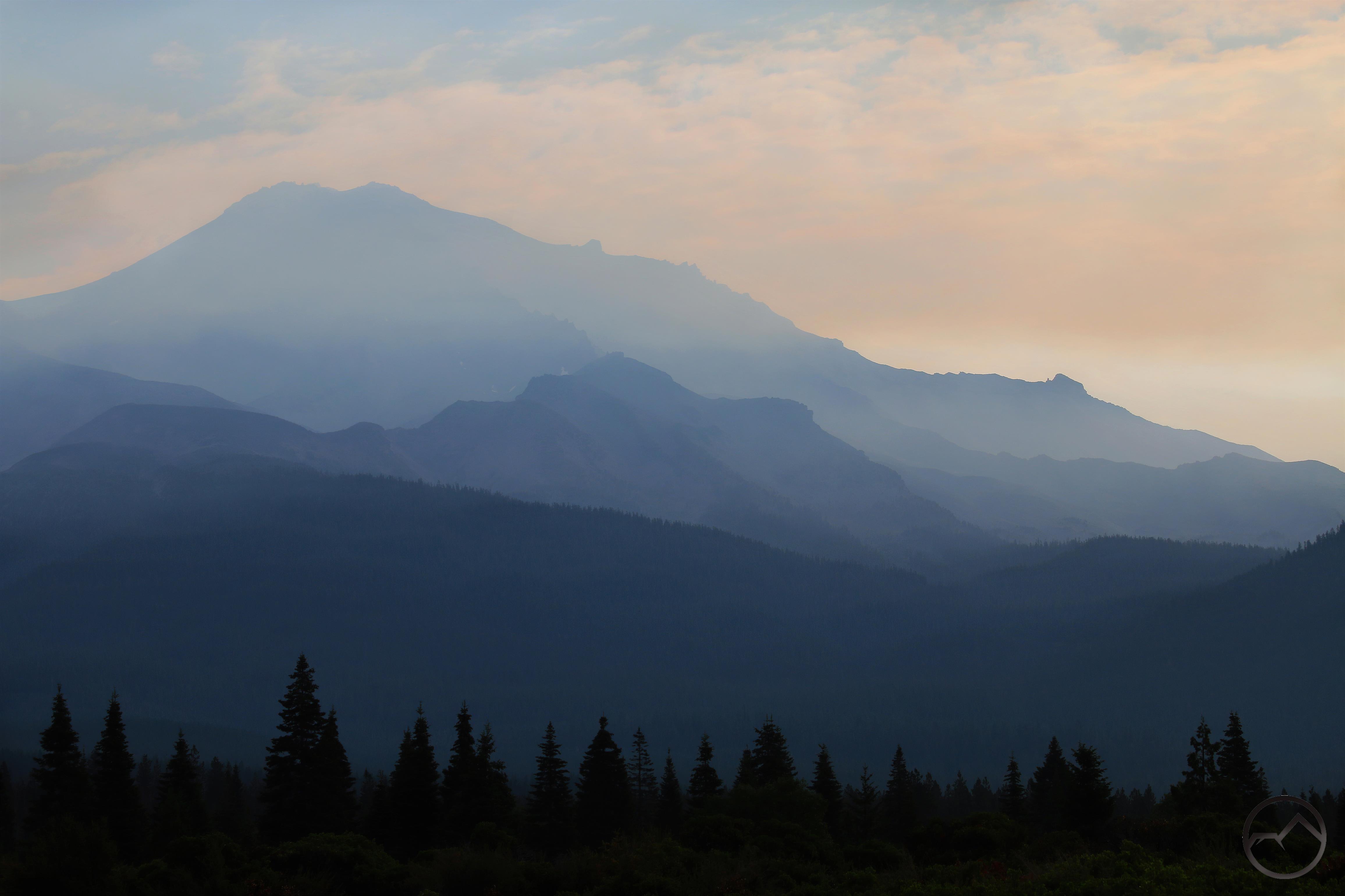
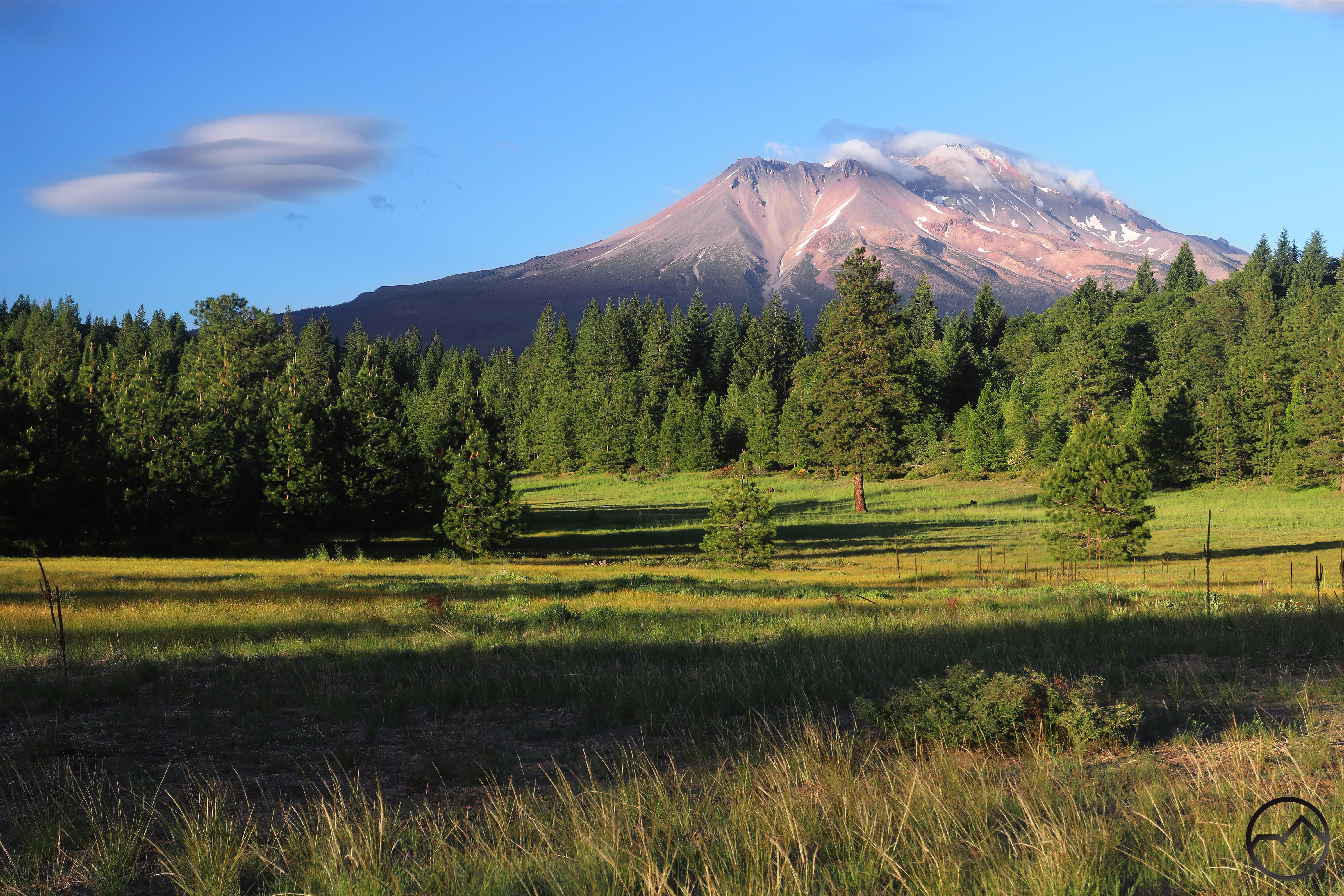
- The thickness of the pall varied but it never seemed to totally go away for a couple of weeks. Day after day, the smoky shroud clung to the summit of the mountain. Is spite of this, the mountain remained beautiful and the new normal of ‘the burn’ set.
-
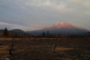
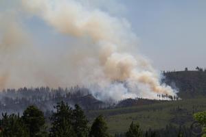
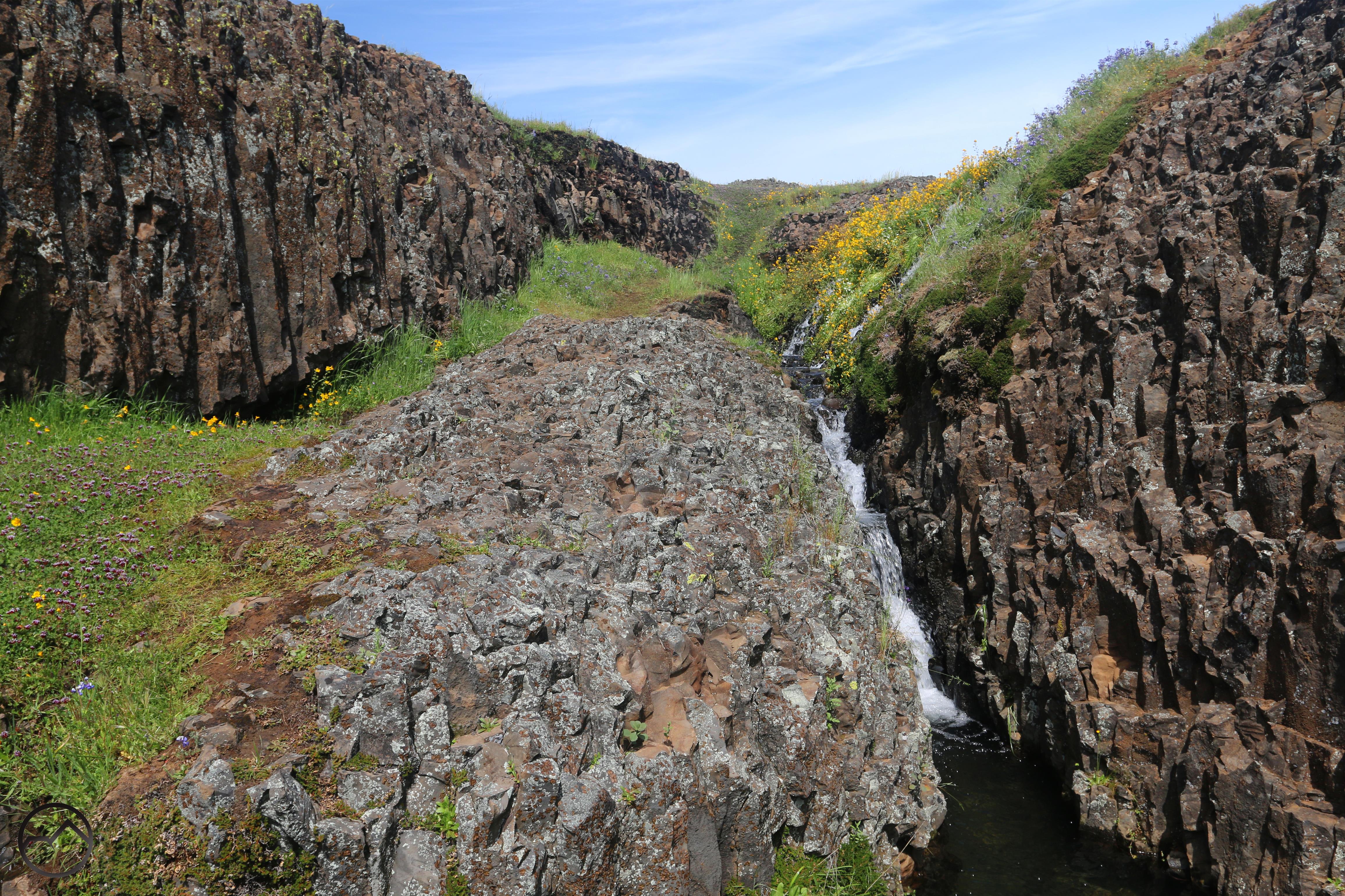
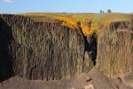
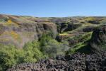
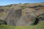
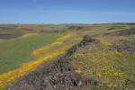
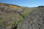
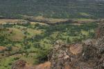
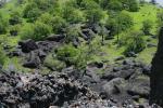
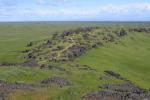
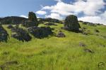
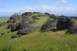
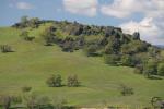
- The fields of manzanita were the hardest hit of all the different ecological zones on Mount Shasta. The brush was simply incinerated, while the a lot of the trees are generally still intact but burned.
-
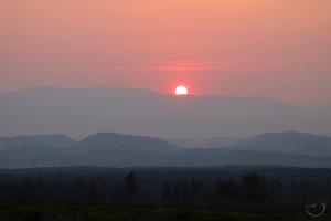
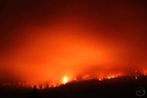
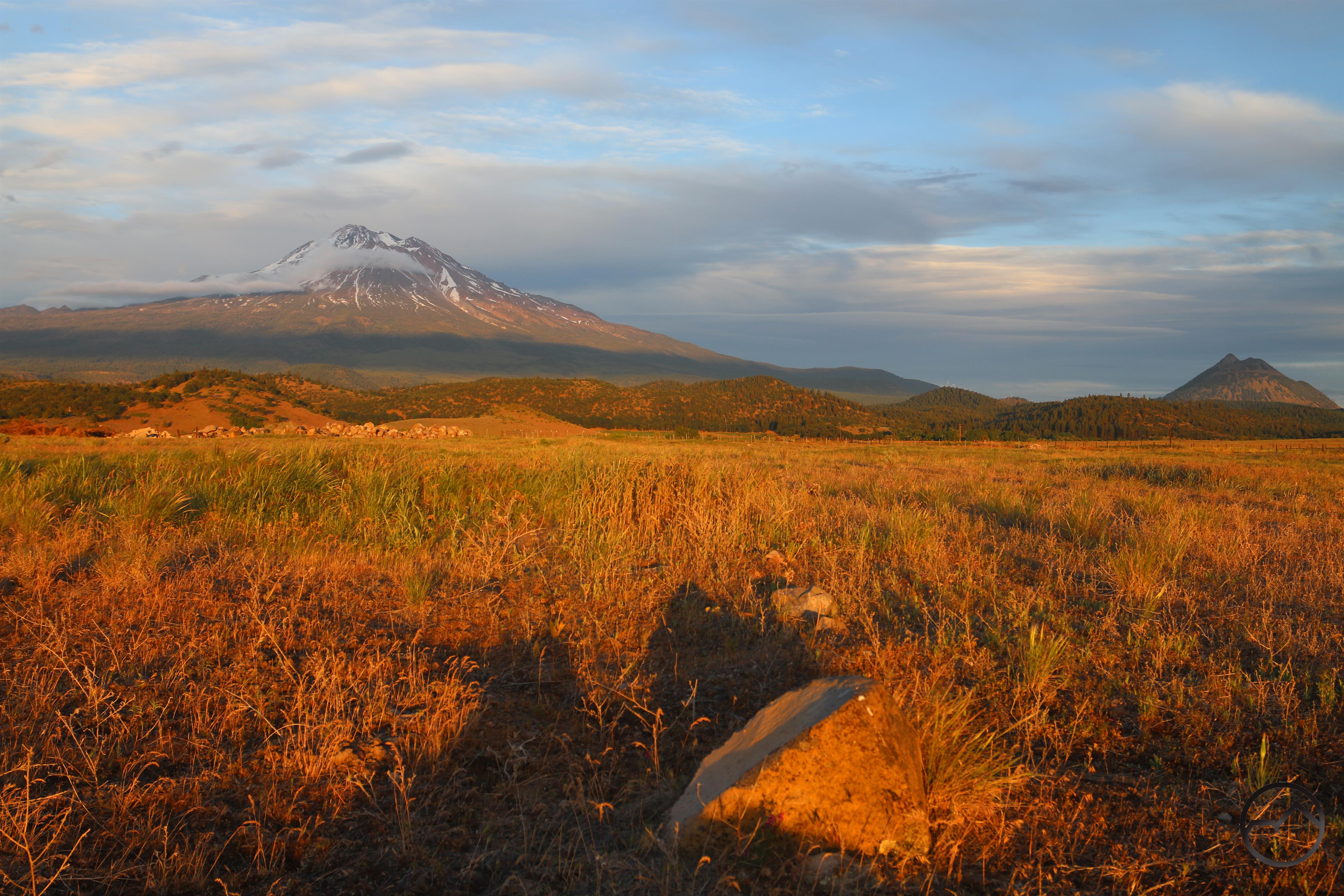
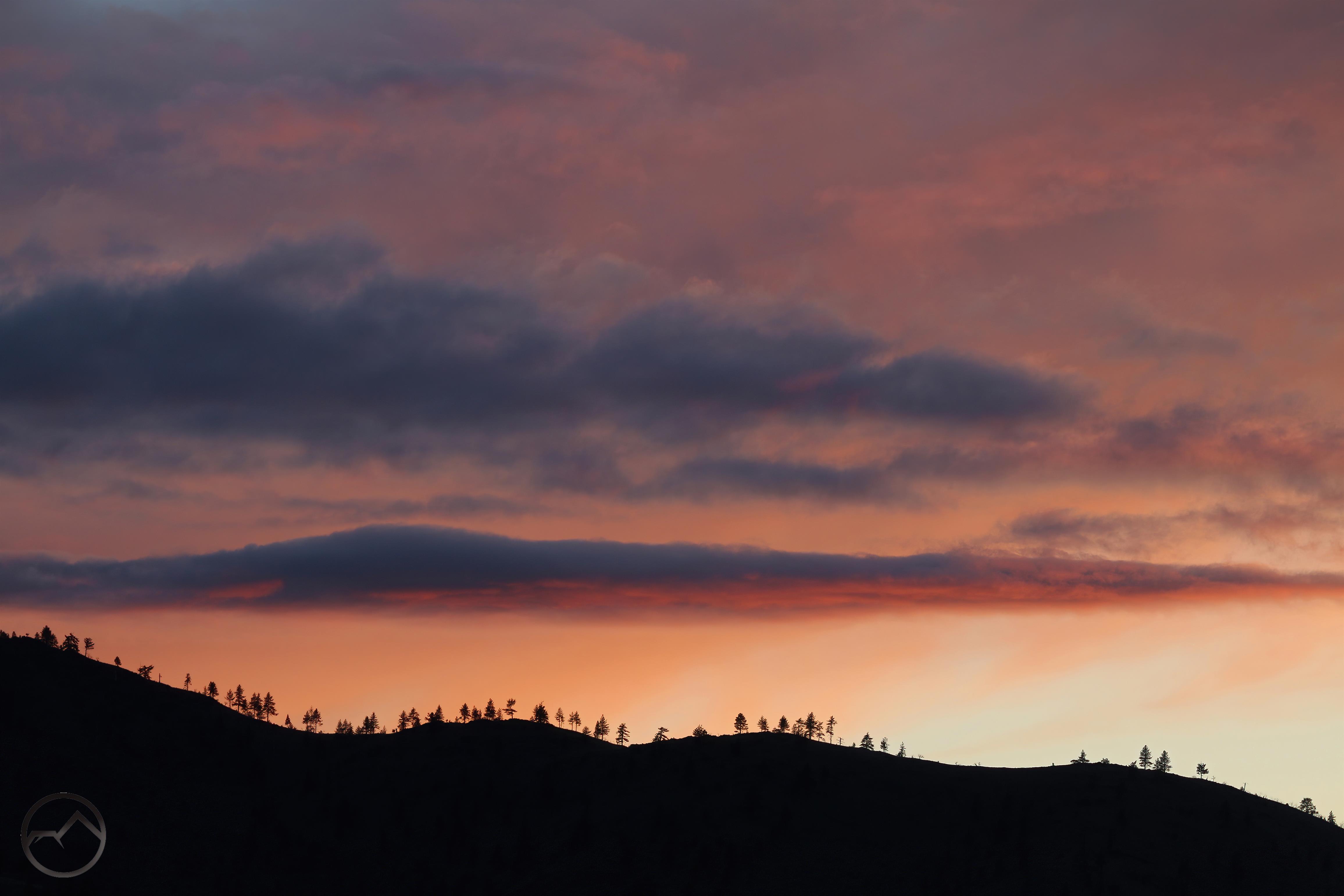
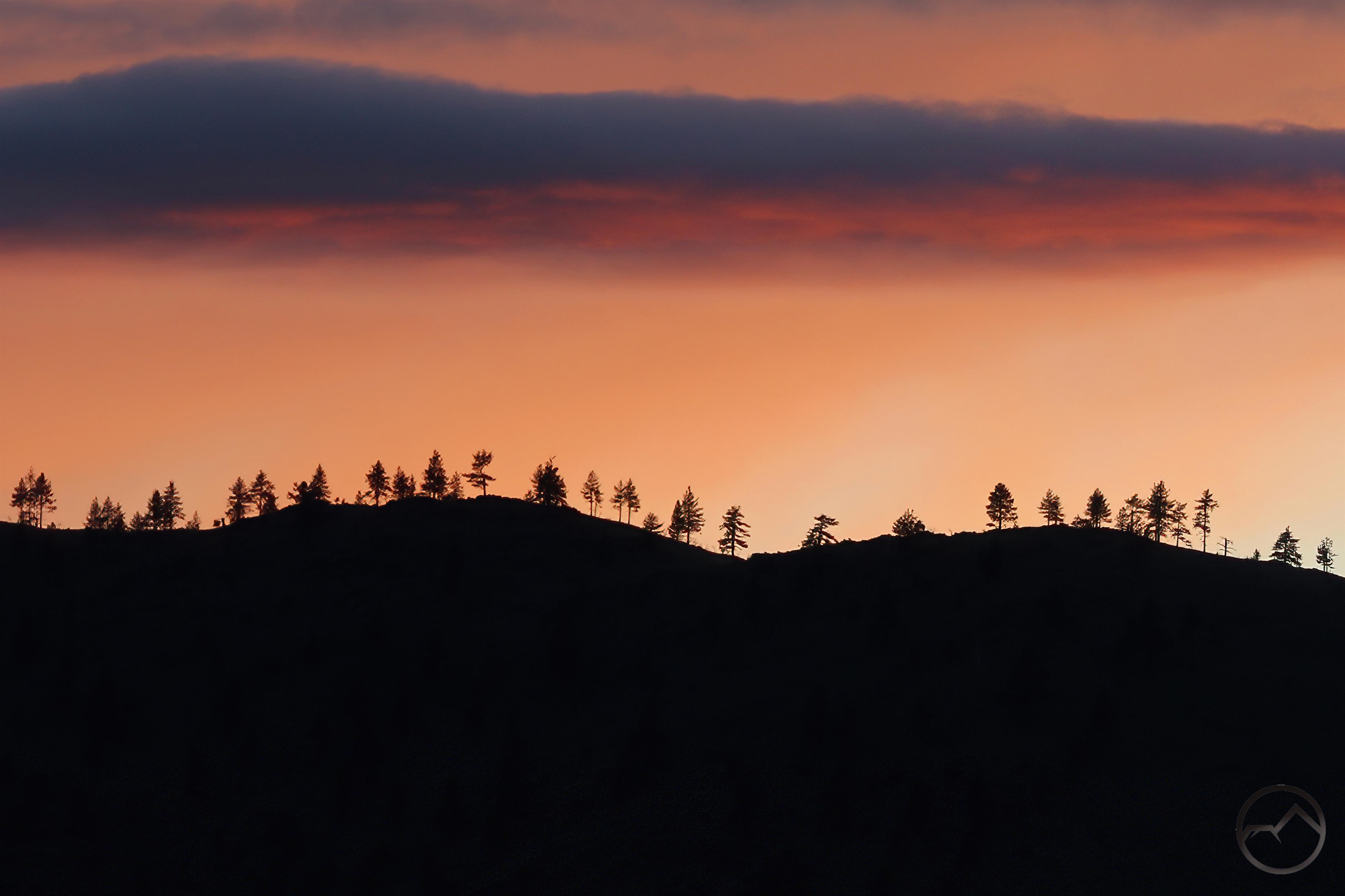
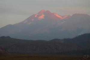
- A smoky sunset over the Shasta Valley from the burned area. There have been too many of these.
-
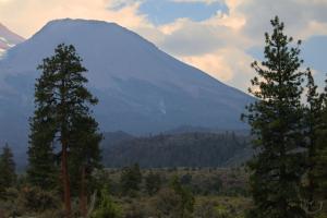
- While I get sick of the smoke, the one feature I do enjoy, is how the haze can really show off Mount Shasta’s many layers.
-
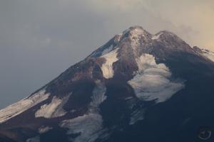
- Surprisingly, one of the late July storms brought a little snow to Mount Shata. The uppermost crags got a light dusting. There was also a fair amount on the south side, above the Red Banks.
-
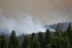
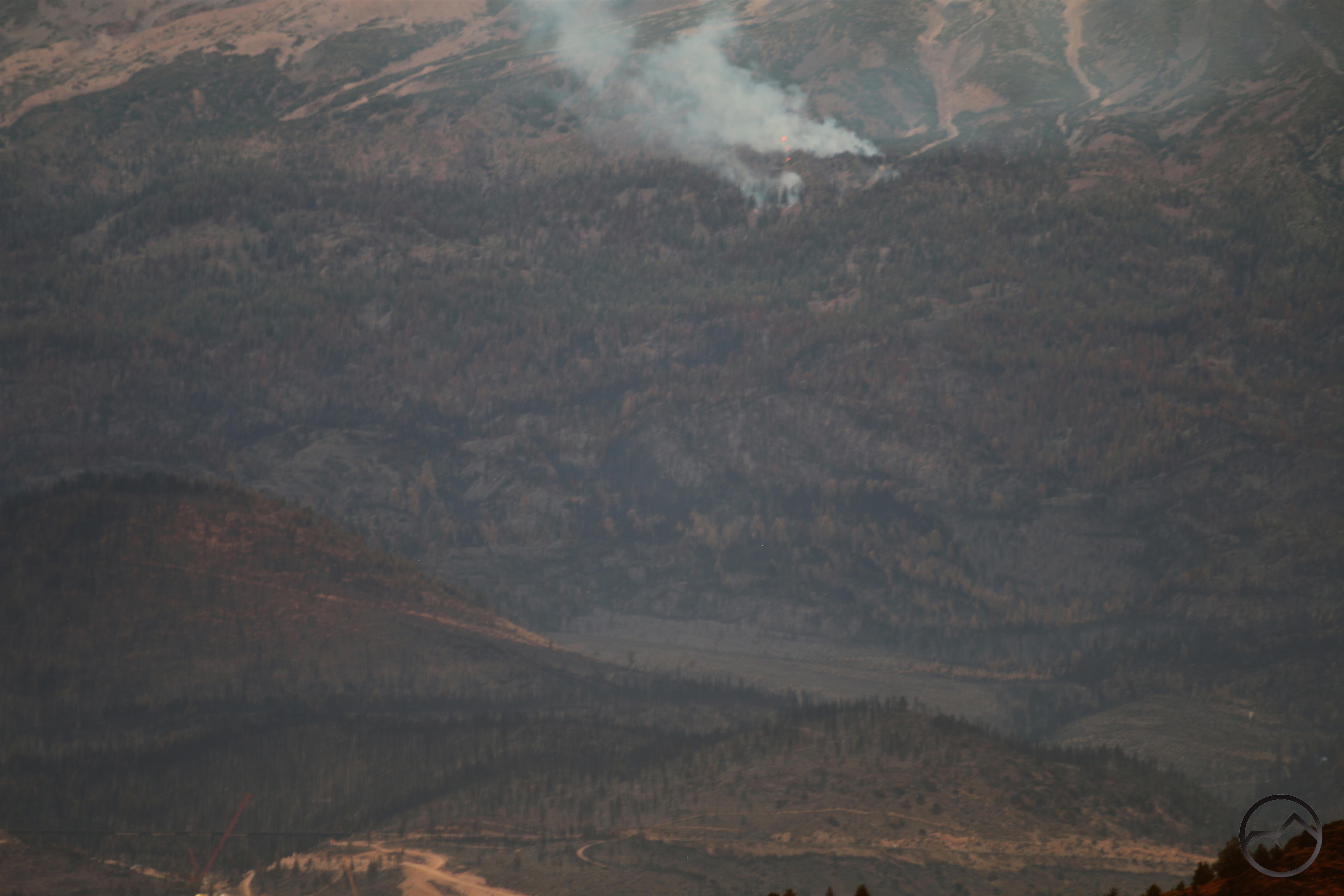
- Even after the rains, which caused flash flooding on Whitney Creek, smoke continues to rise from small fires on Mount Shasta.
-
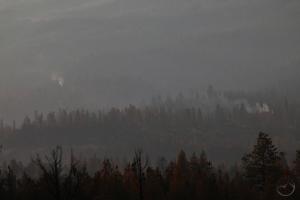
- A good look at some of the small, smoldering fires still putting out smoke on Mount Shasta’s north flank.
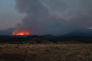
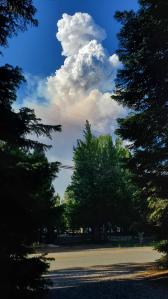
While other fires in California have grown in size and prominence, the Lava Fire continues to burn in remnants
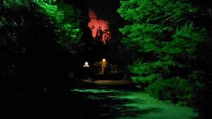
A bit blurry but you can still see flames burning above the Dry Canyon Bridge on the 2nd day of August.
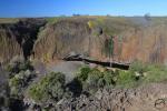
One fascinating thing to watch in the aftermath of the fire is how quickly the Union Pacific Railroad was able to repair the Dry Canyon Bridge on Mount Shasta. This bridge is the tallest railroad bridge in the area (I think) and is a vital part of the rail link for the west coast. It was severelly damaged in the fire and as soon as things cooled enough to let repair crews in, work on rebuilding the bridge commenced.
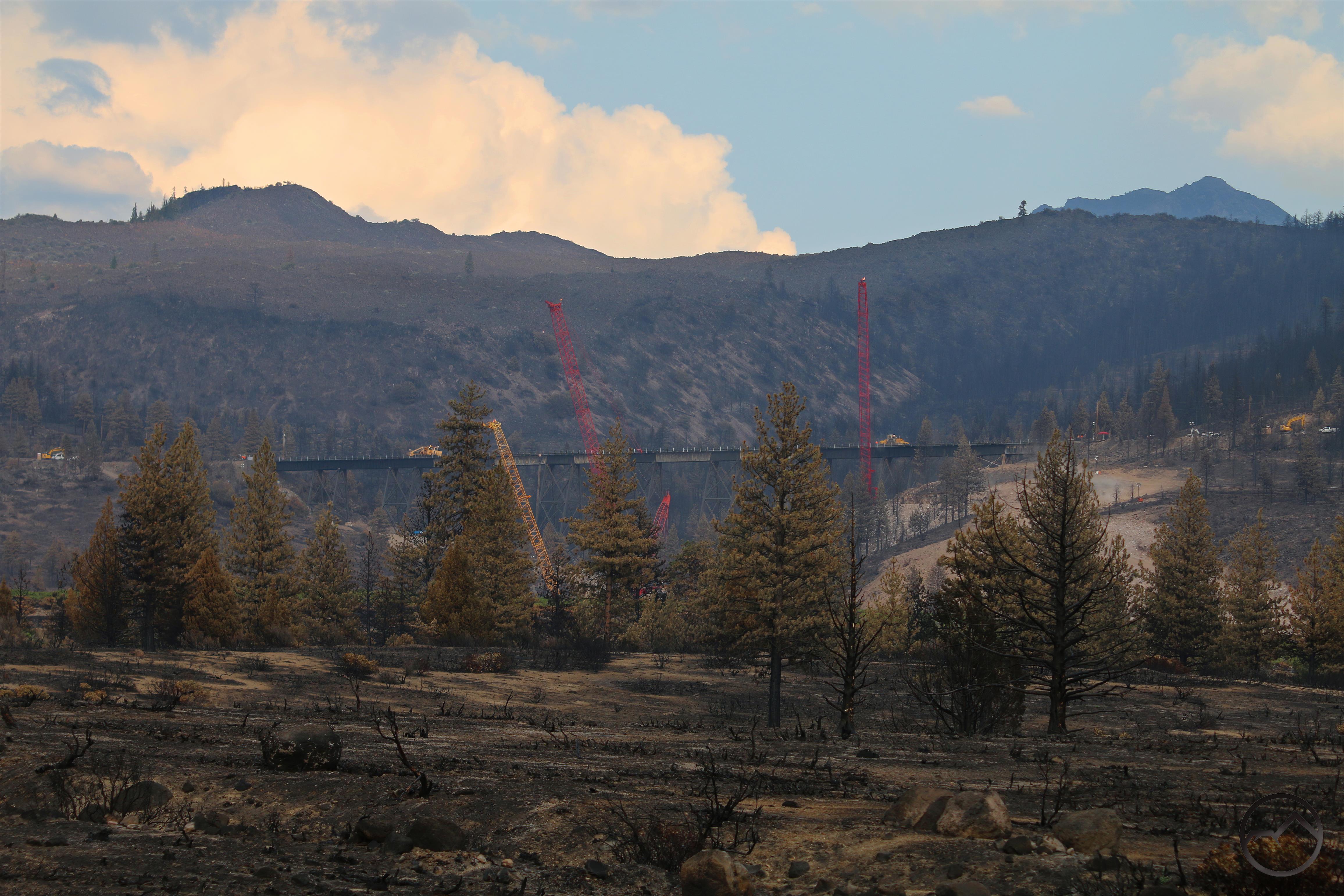
Repairs on the Dry Canyon Bridge underway.
Several sections of the span were replaced and trails were back on it nearly a month earlier than anticipated. It was strange not hearing the trains running through Mount Shasta for the few weeks that the damage on the bridge made train transport impossible.
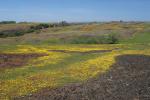
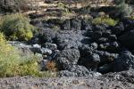
It will take some time to get used to the new conditions on Mount Shasta’s north side. I do manage to find some optimism in how things have changed. The remnant groves of aspens hidden in the lava flows have a chance at proliferating without competition and, perhaps, becoming a dominant tree on the north side. The lava flows themselves, shorn of the plant growth that has accumulated on them, will take a more prominent place in the visual landscape of Mount Shasta. This and other changed features may give the north side of Mount Shasta introduce and new and different character and beauty. Time will tell but the mountain presists regardless.