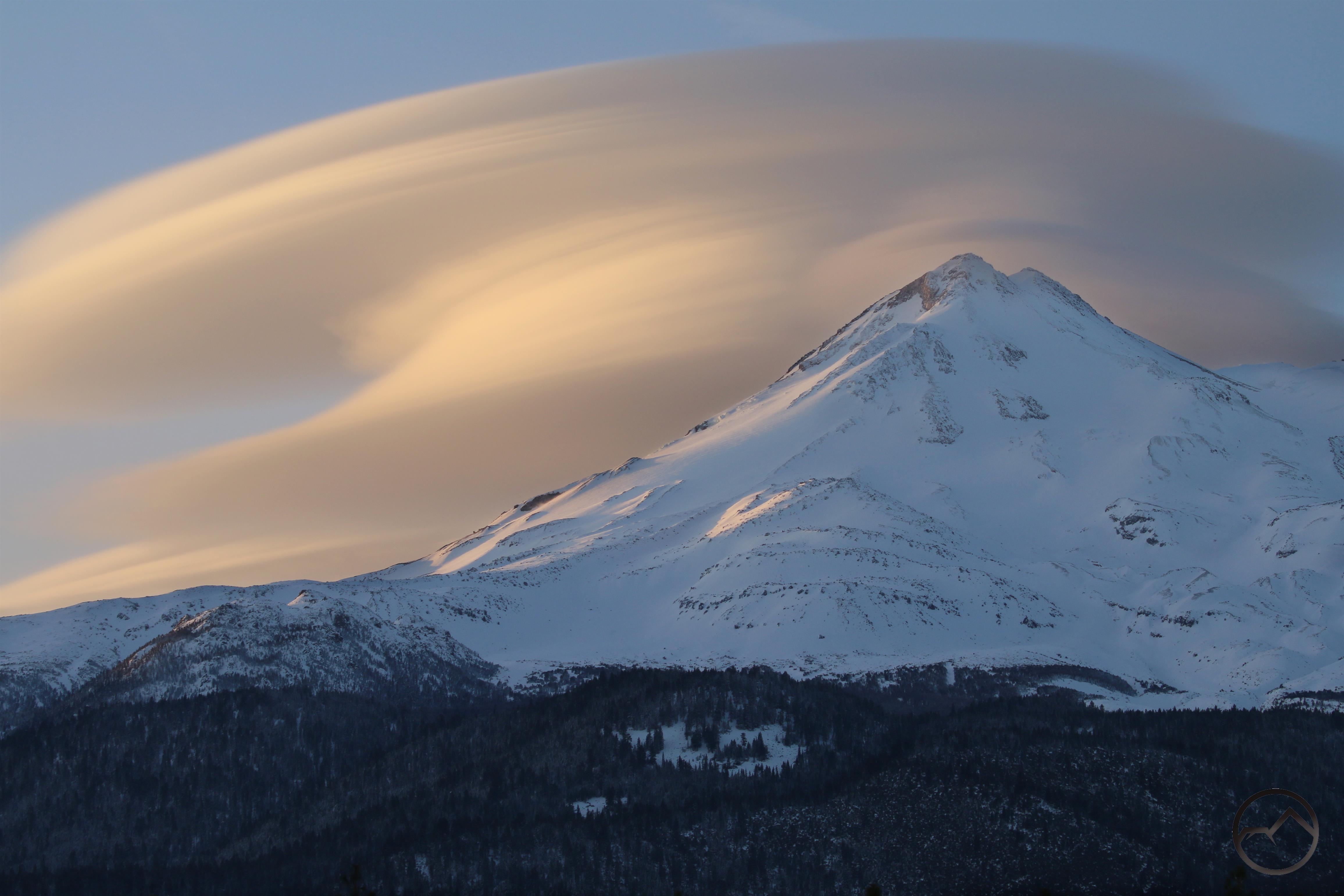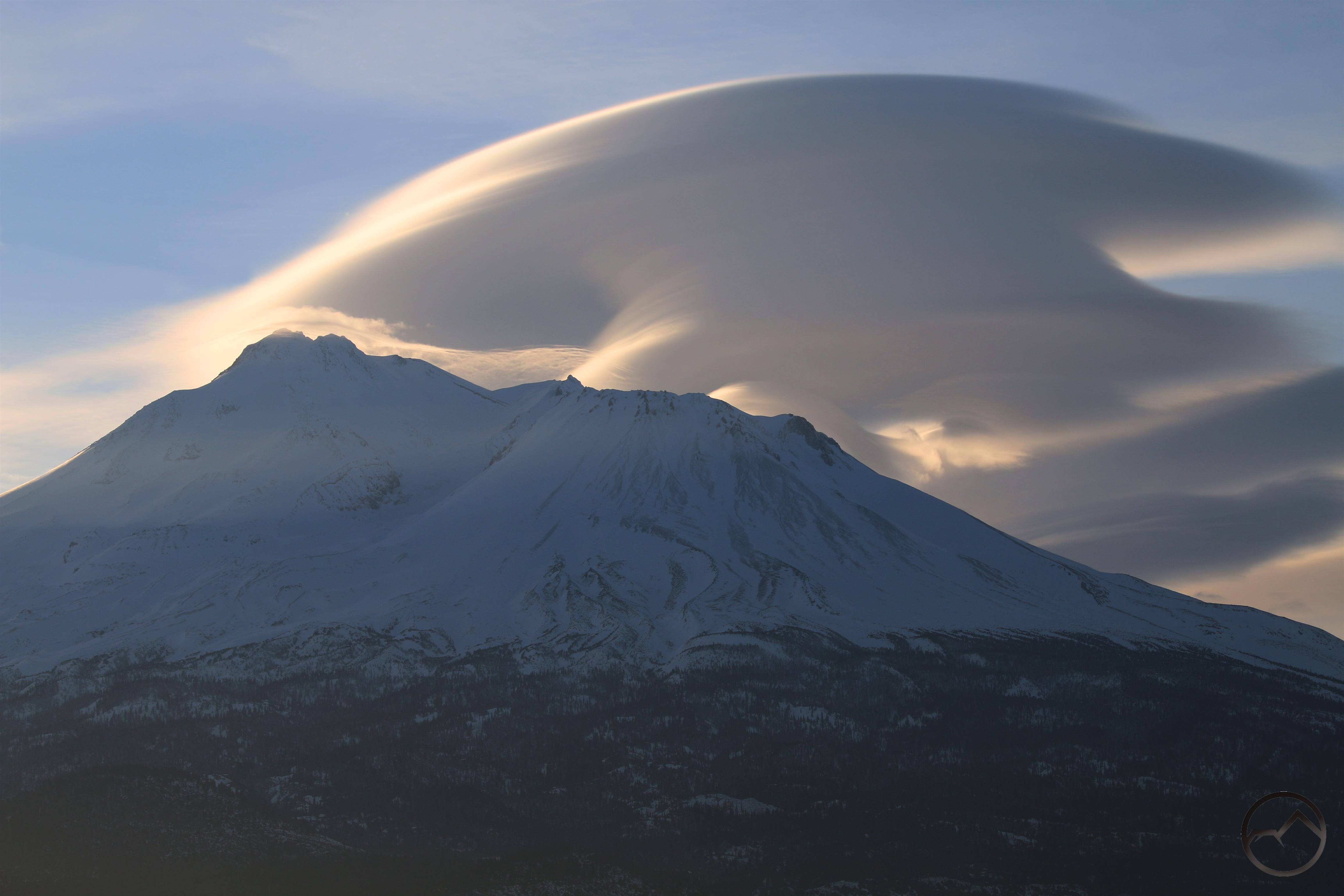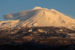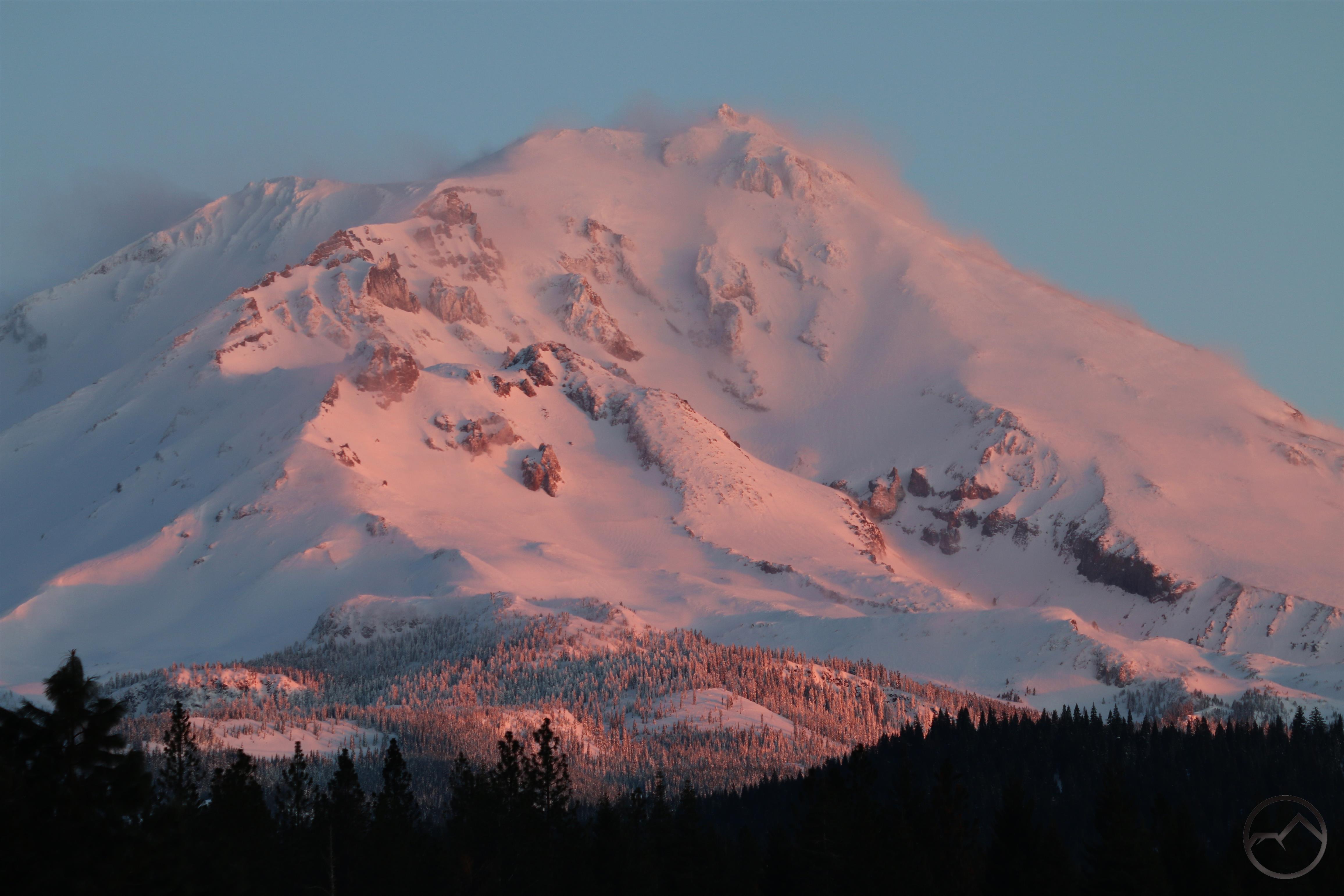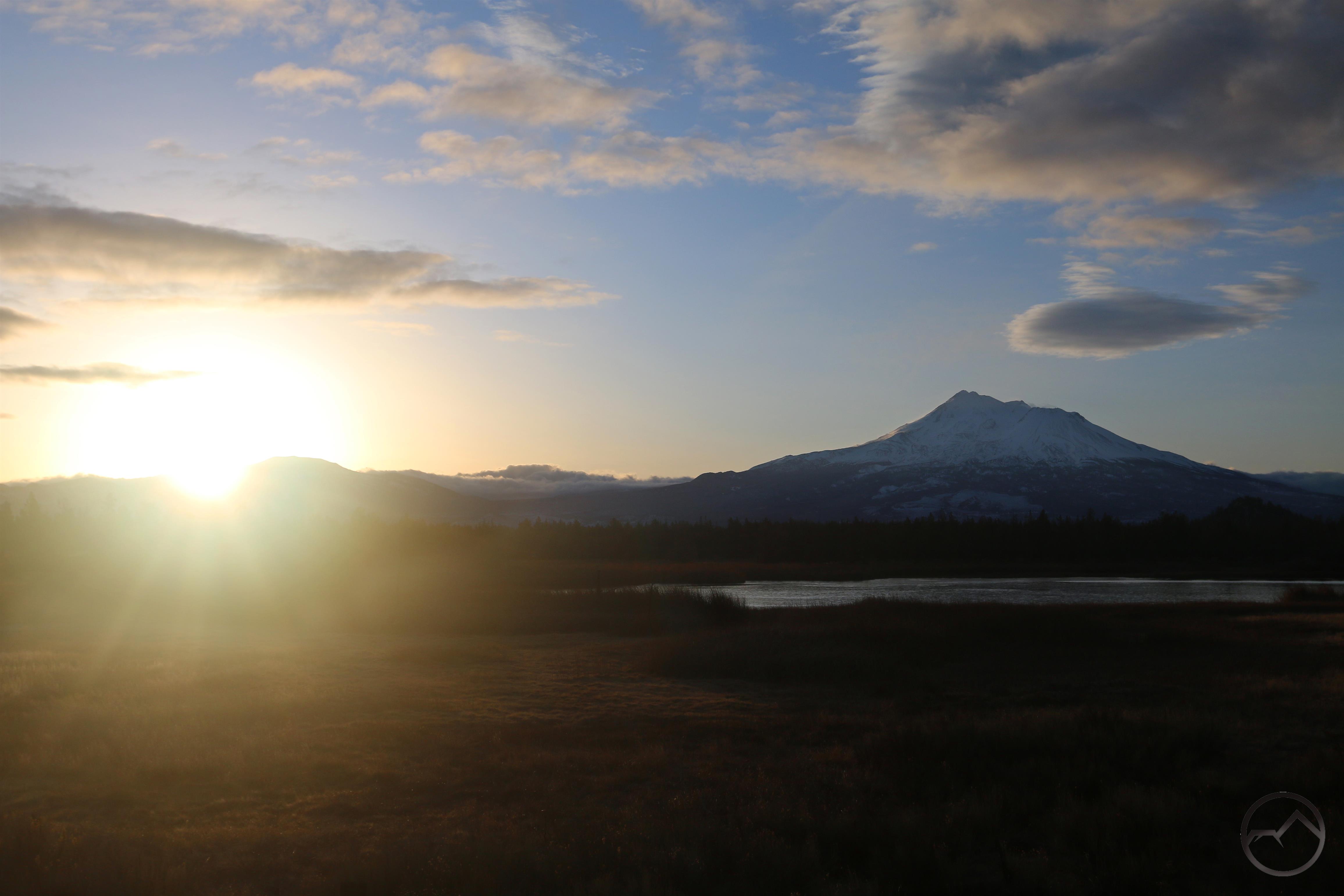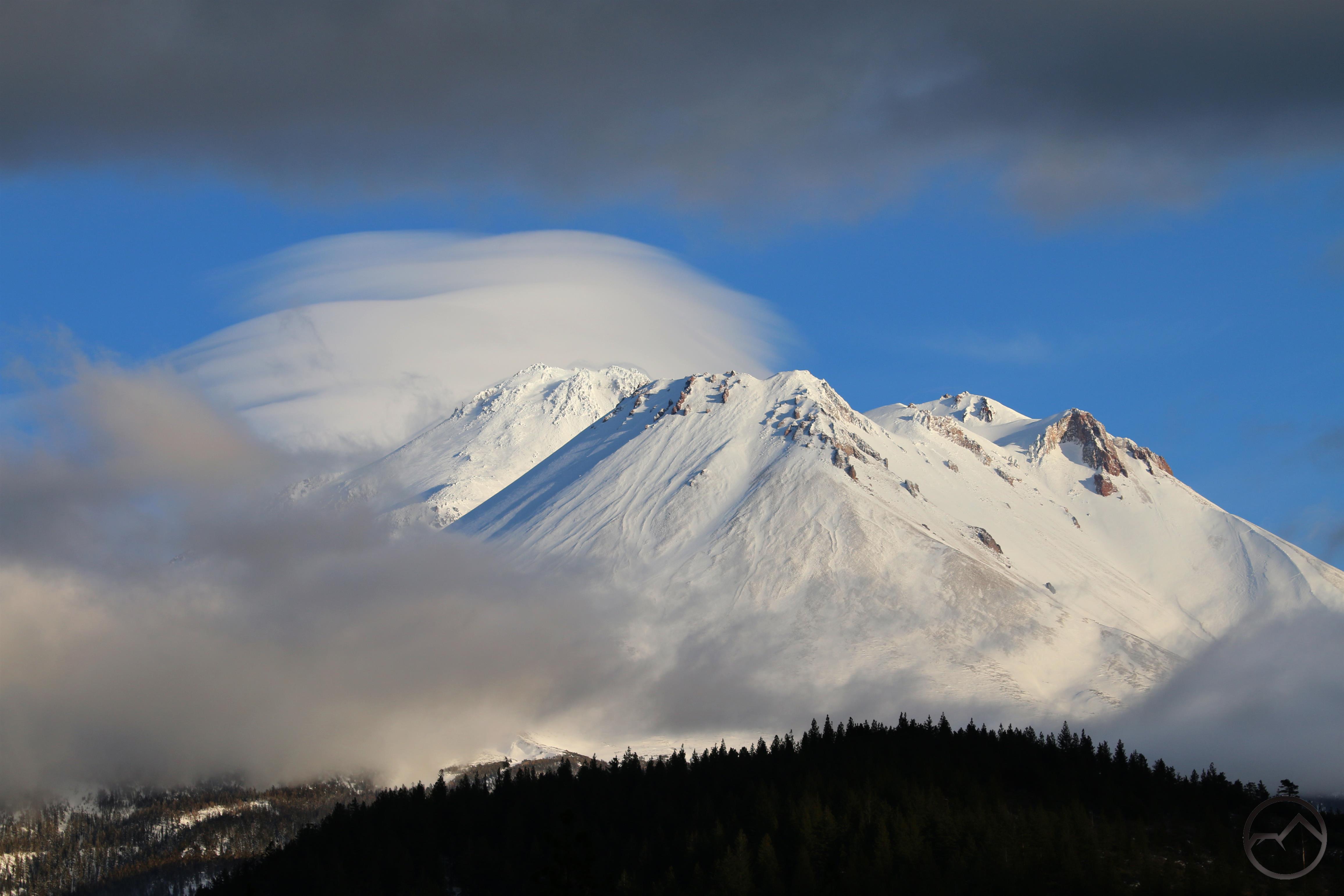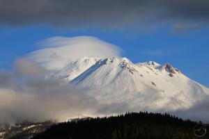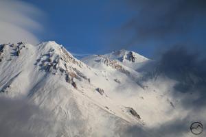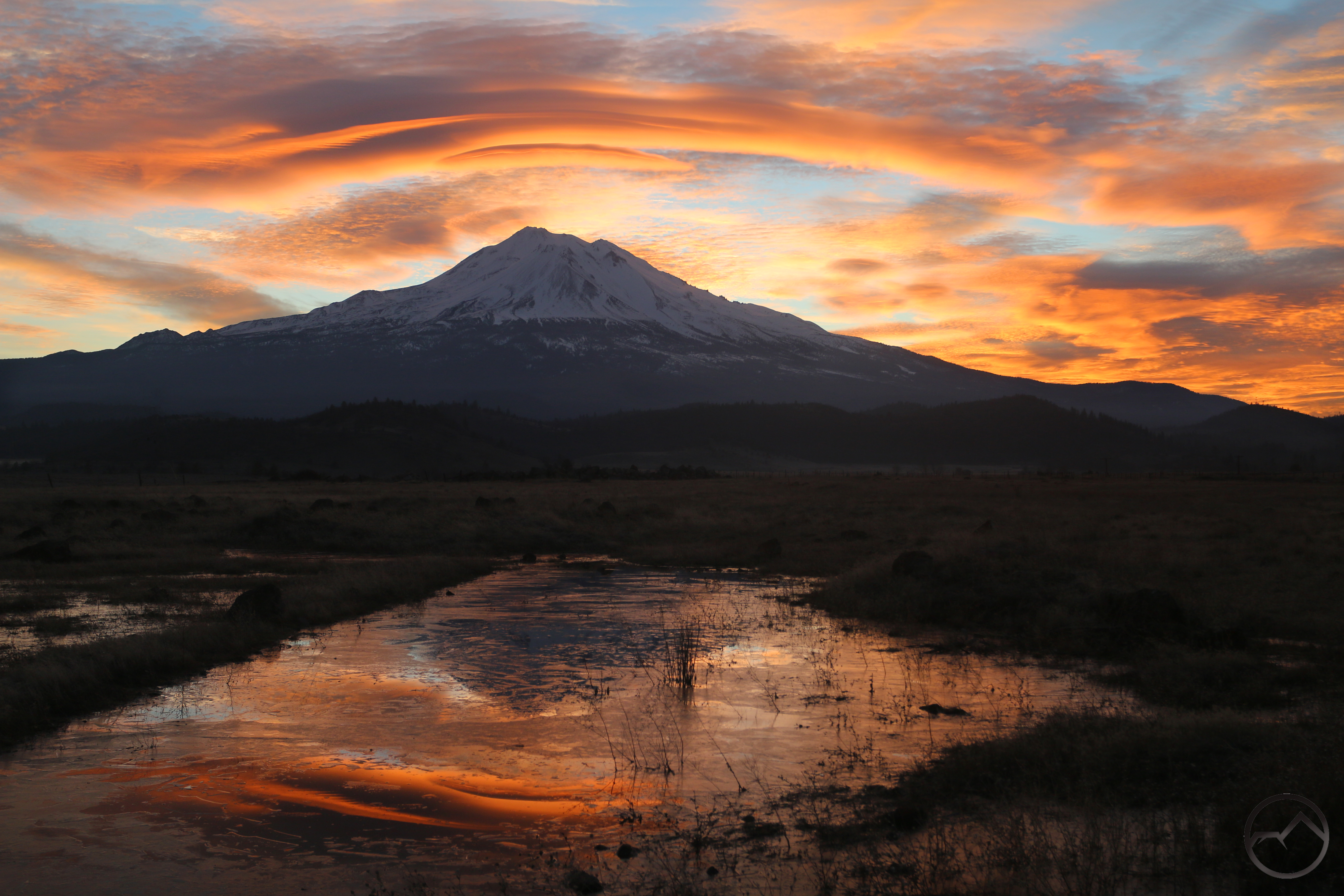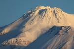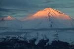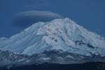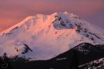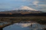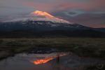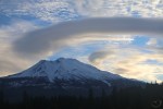
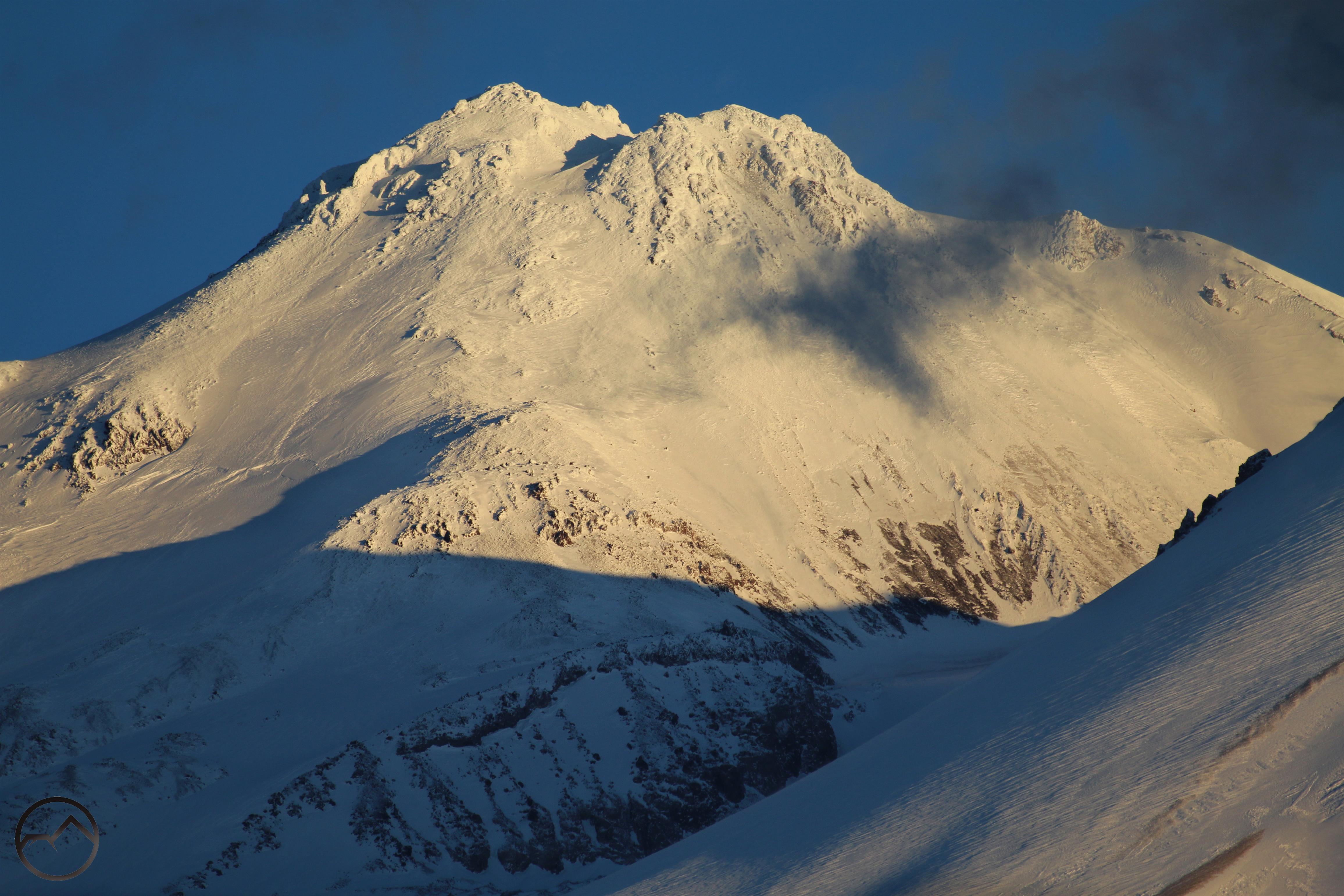
Clear skies and sunrise glow on snowy Mount Shasta.
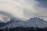
Well that was fun. Like the rest of the mountain west, the Mount Shasta area has endured another significant storm system. I like the snow and I always look forward to it. I don’t mind clearing it off driveways and walkways and such. What I do mind is when it snows a lot and then rains a lot and everything turns into a soupy, mucky mess. That, unfortunately, is what we got. Add to the unfortunate stew a long stretch with no sunlight and cold but not cold enough to keep everything frozen and you basically have the worst possible winter combination. Thank goodness that is over, for now at least.
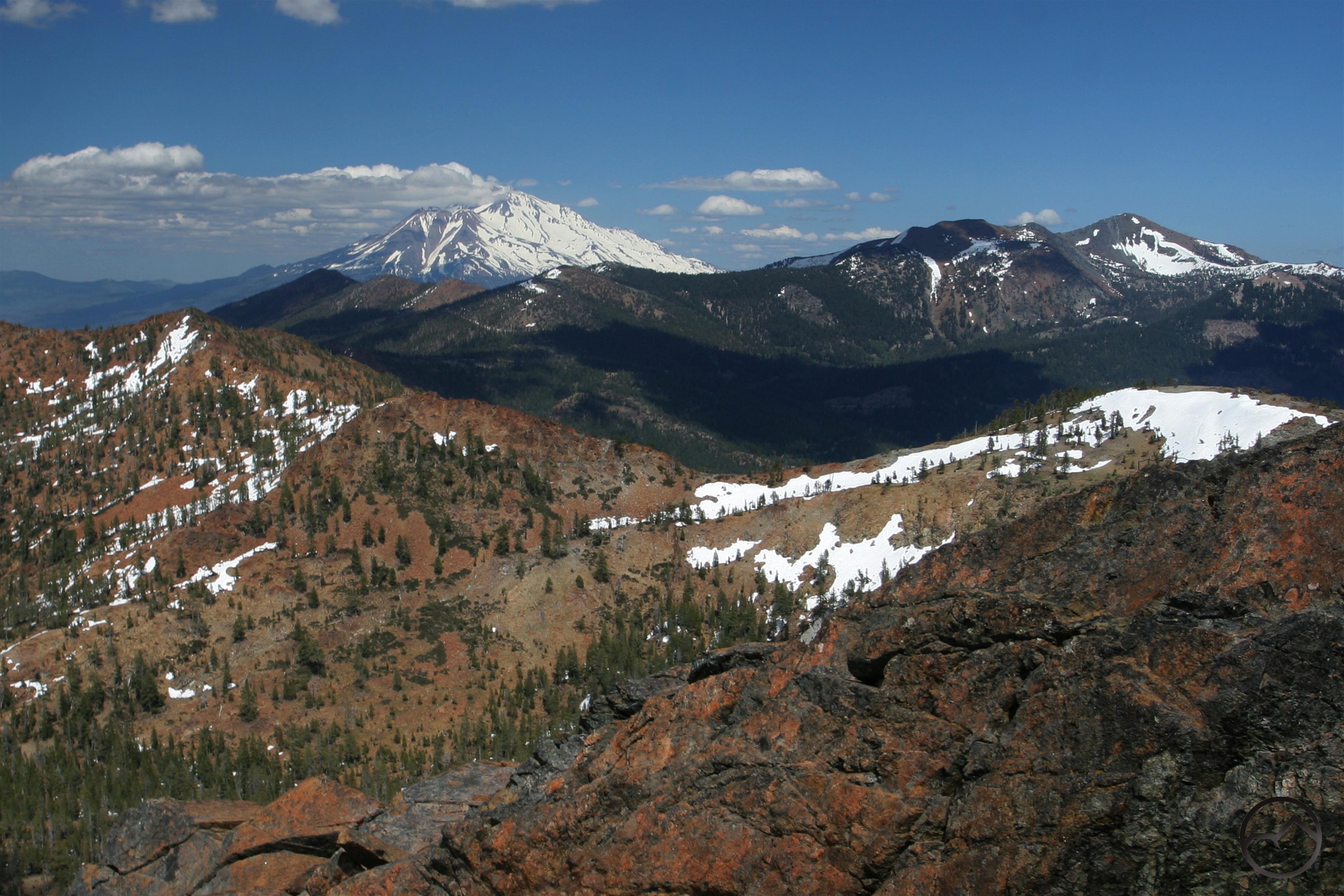
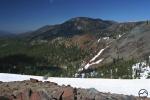
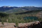
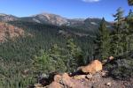
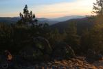
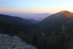
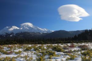
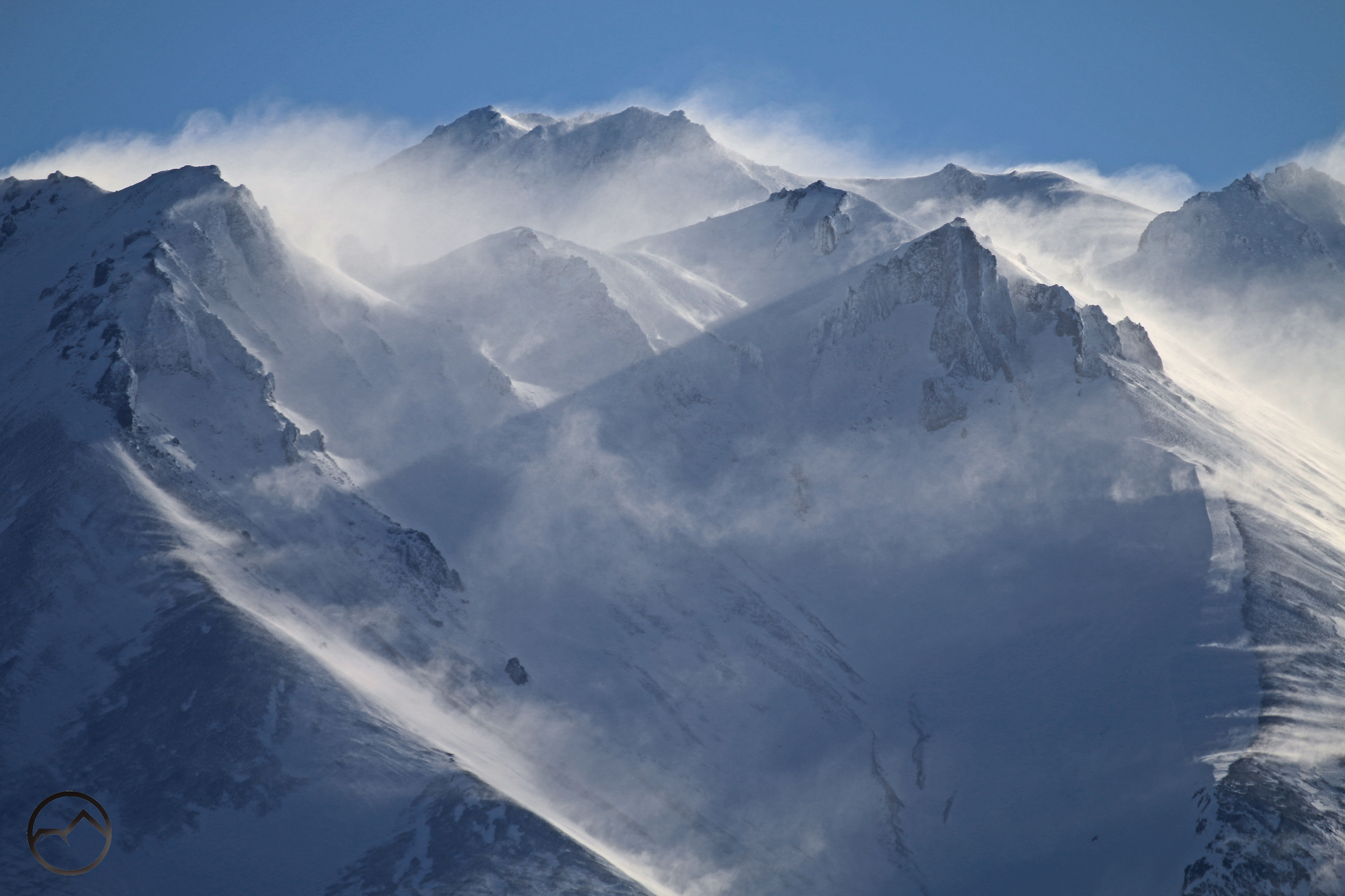
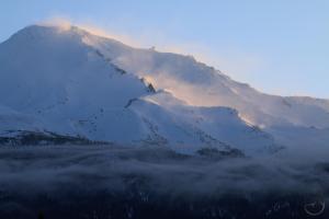
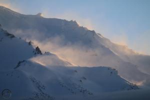
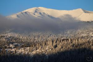
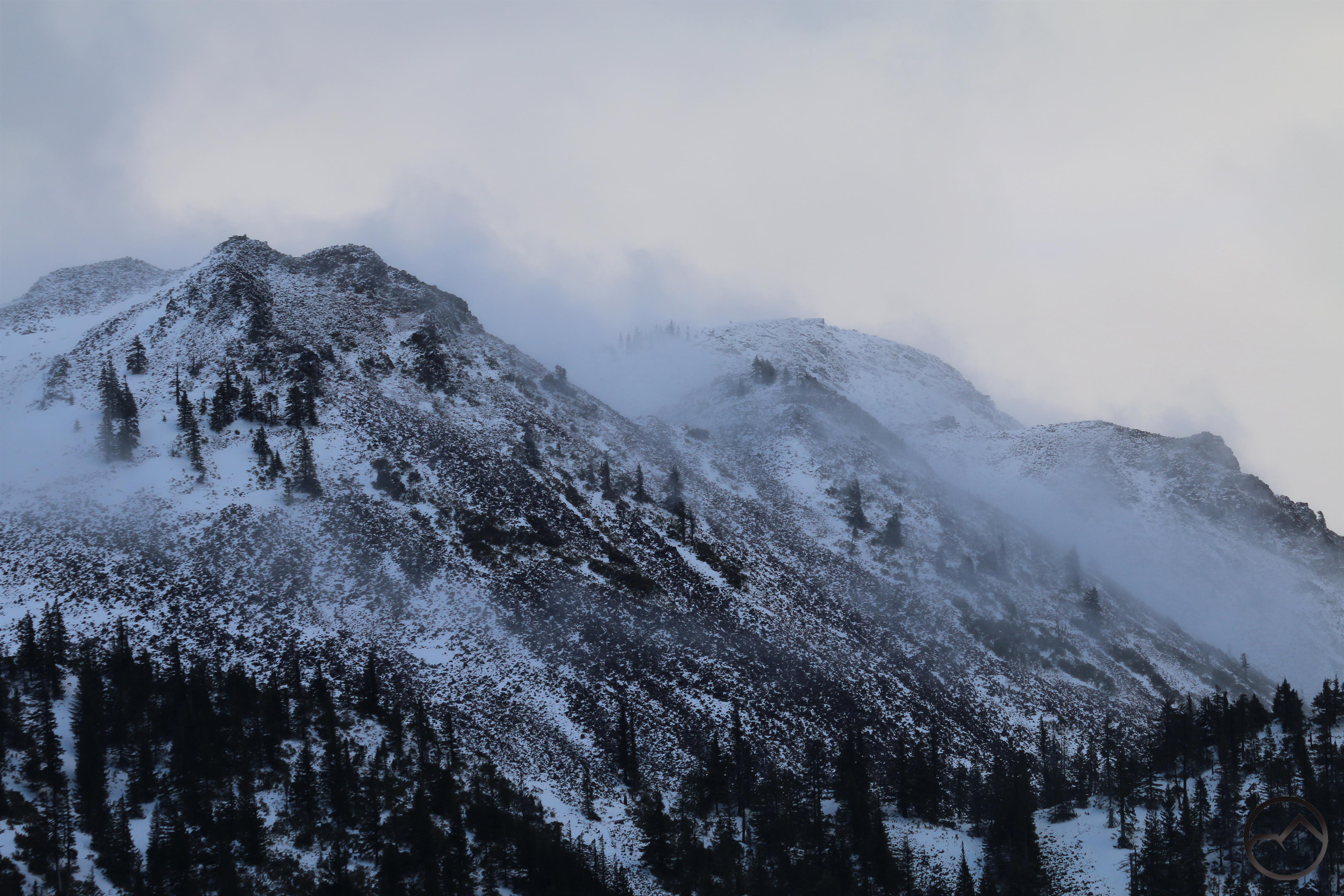
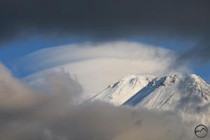
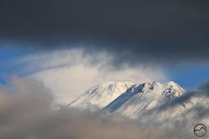
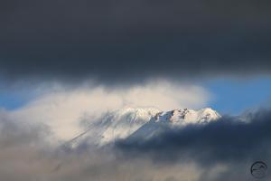
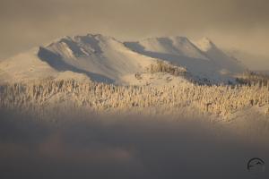
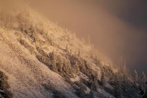
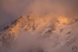
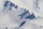
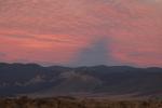
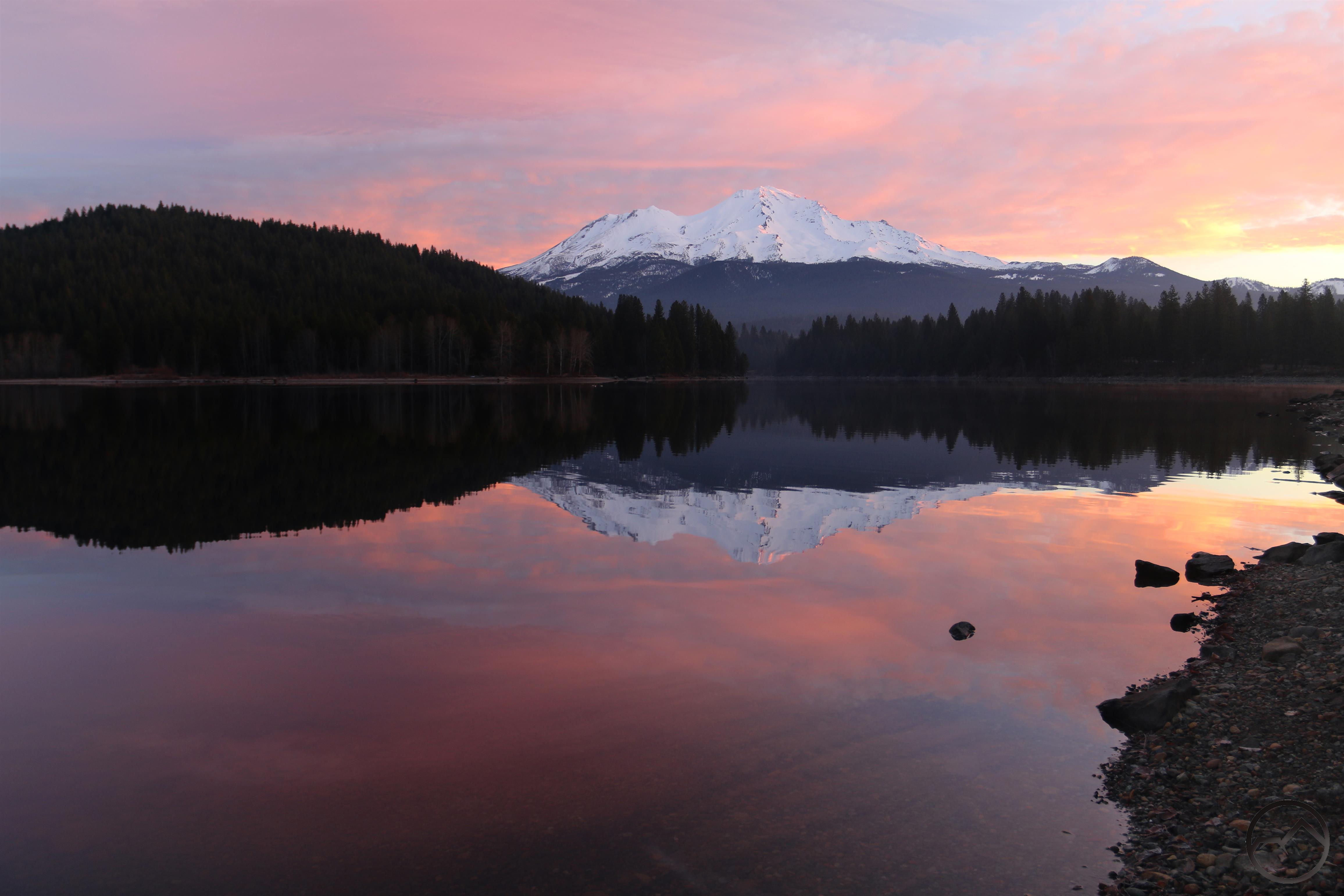
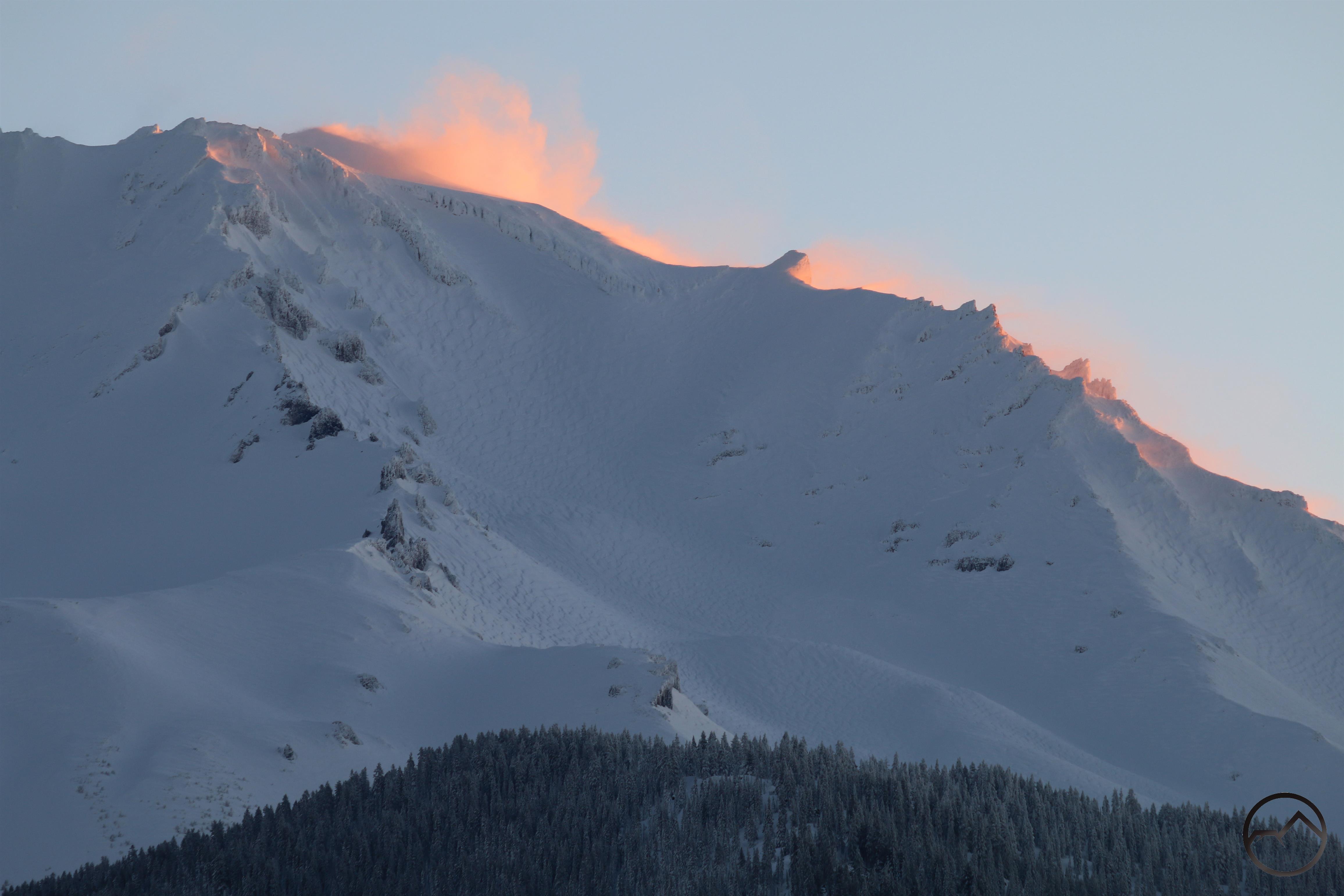
This morning, the first with clear sky in a while, was beautiful. A string of errors kept me from getting on the east side of Mount Shasta but I was able to at least catch the glow along Sargents Ridge as the sun came up this morning. It was just nice to see the mountain, though disappointing to miss the snow flurries all lit up by the rising sun, the view that was surely to be had in McCloud. Needless to say, Mount Eddy and Black Butte were also thoroughly smothered in snow. With Mount Shasta still in shadow on the west side and no unusual clouds to highlight the mountain, these two neighbors offered the more interesting spectacle.
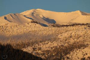
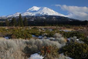
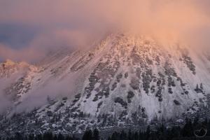
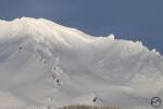
The warmer temps (relatively speaking, of course) of the last few days had raised the snow line and nothing below 5,000 feet seemed to have much snow on the trees. This was certainly the case on Black Butte, which seemed so be completely encased in rime ice, rather than snow.
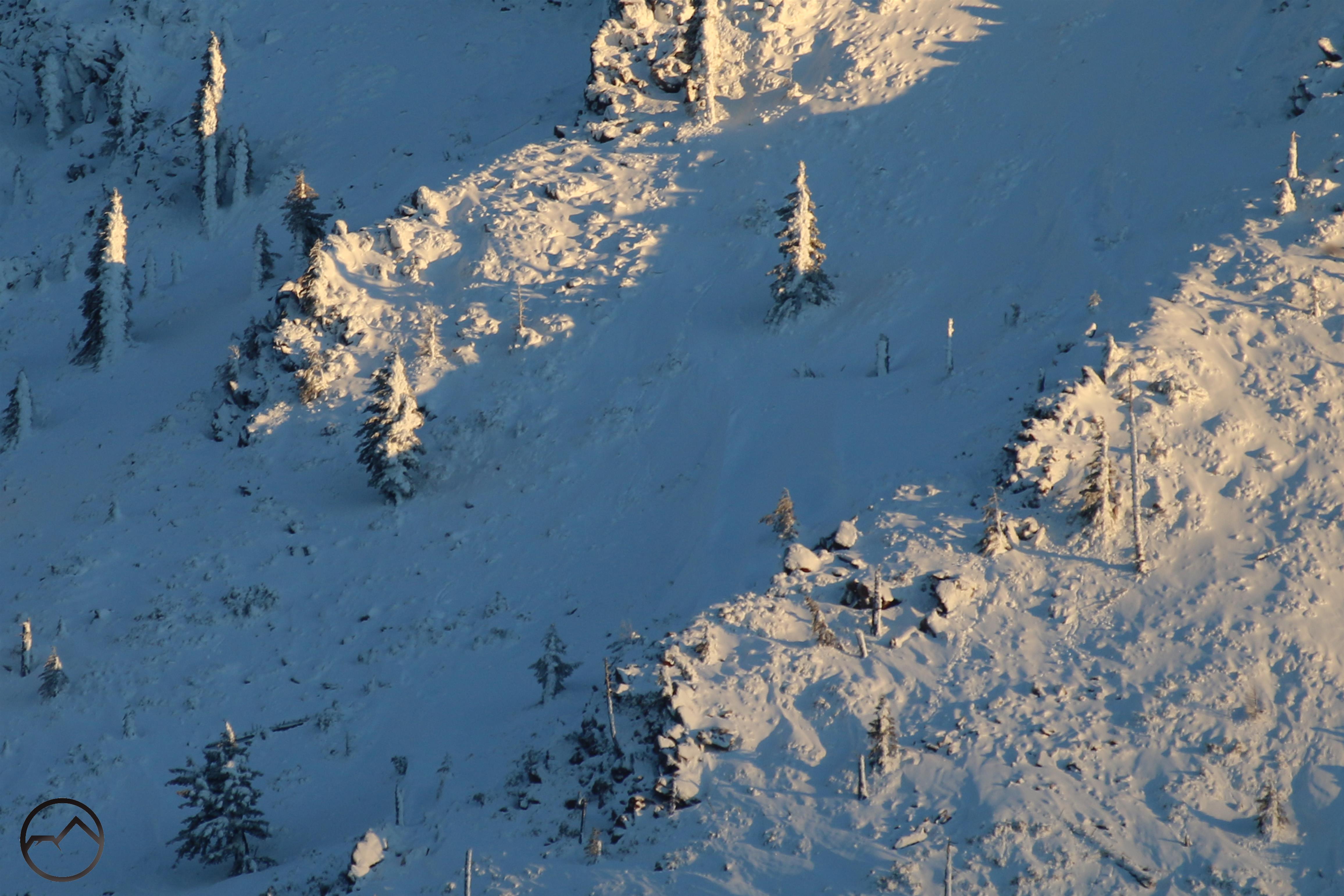
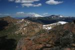
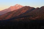
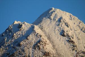
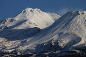
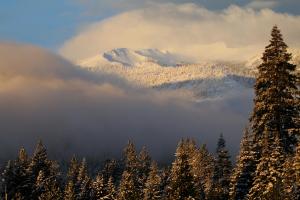
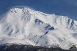
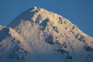
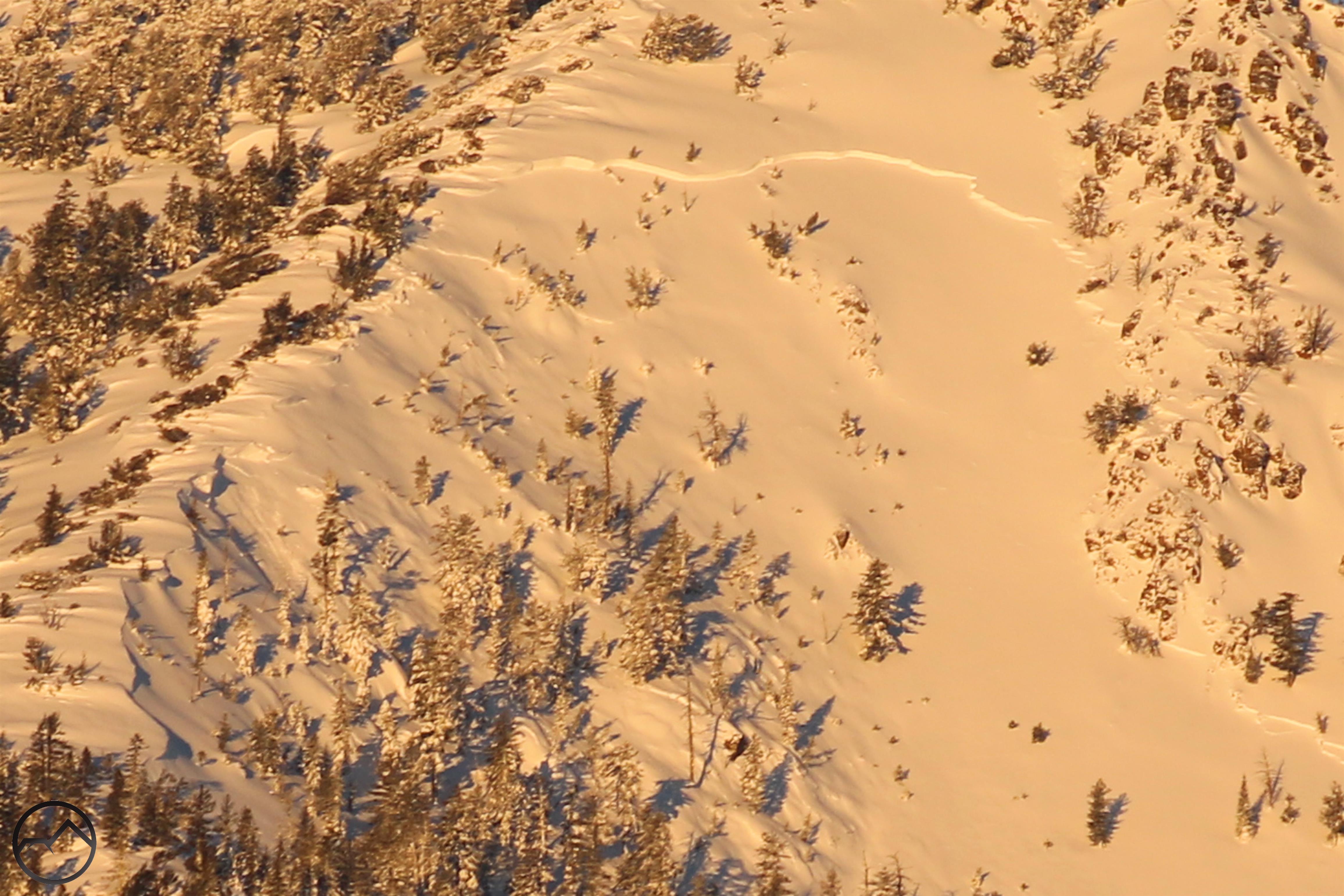
On Mount Eddy, the snow was everywhere and it looked deep too. All the trees in Eddy Bowl were blanketed with deep snow. Some areas where deep snow had piled up, it looked as though avalanches might occur.
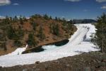
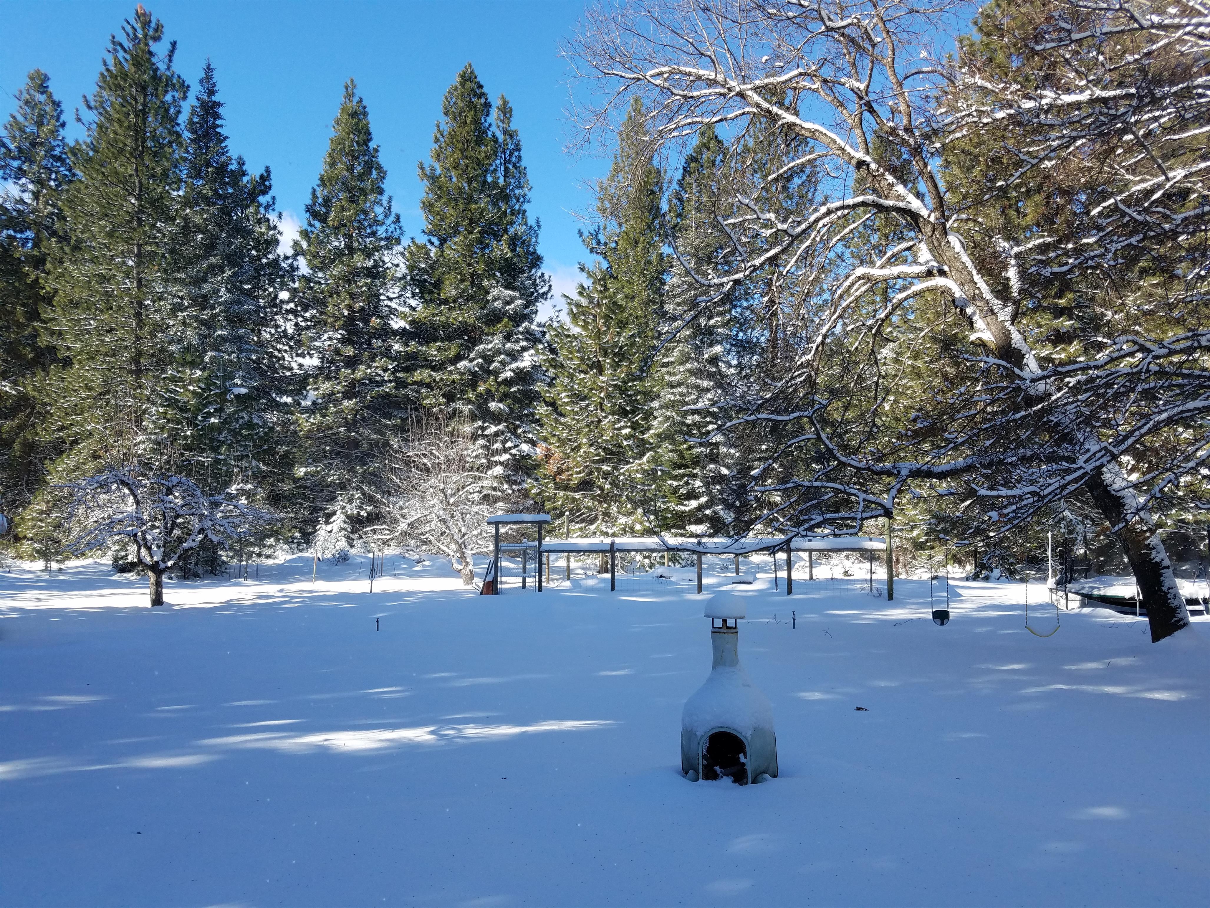
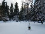
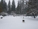
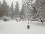
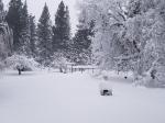
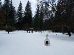
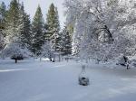
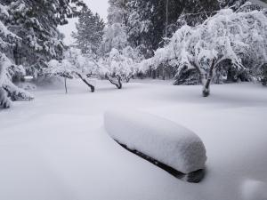
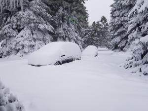
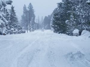
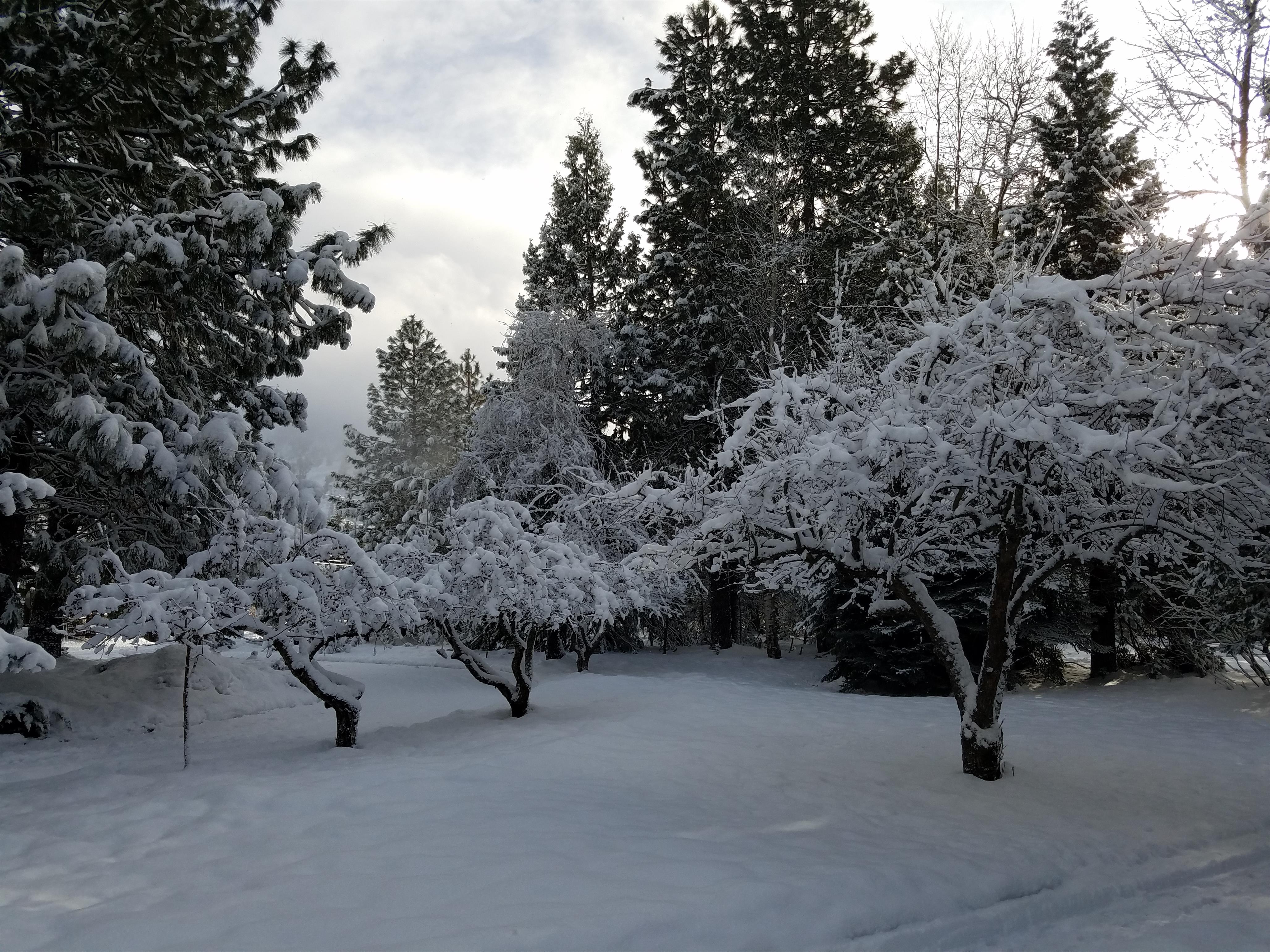
As I noted, this storm was a miserable one. The snow started off dry and powdery but it eventually came down like Sierra cement. When it started to rain, it all began to melt. Soon it was like living in a giant slurpee. My backyard always makes a good test for how the storms look:
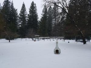
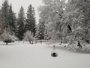
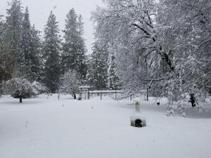
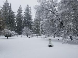
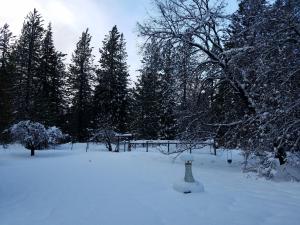
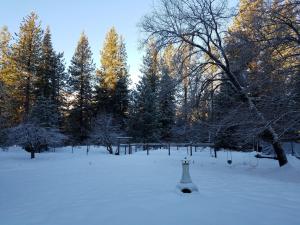
The depth of the snow from this storm is a bit deceiving. We probably go 3 feet or more at our house but the intervals of rain-induced melting and the natural settling does not show quite how deep it is. The peak really occurred on Tuesday. More snow fell after that but it never quite equaled the conditions on Tuesday. For comparison, look at the progression of my backyard from the big storm back in January of 2017. That was a lot of snow and there was no rain to start it melting instantly.
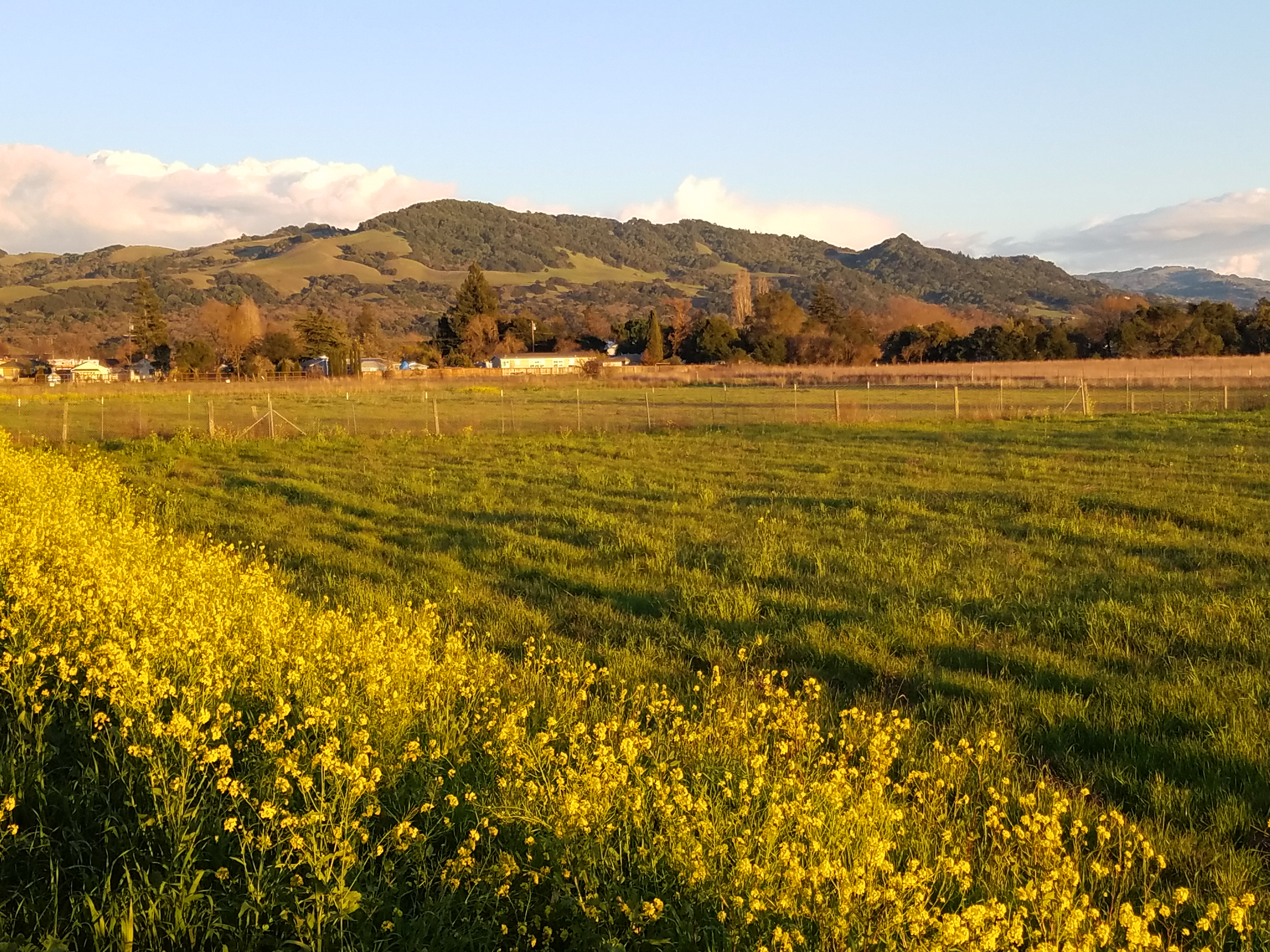
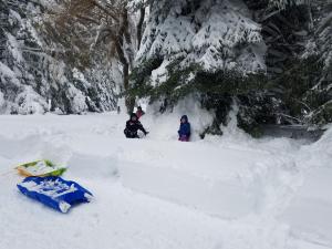
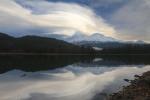
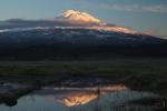
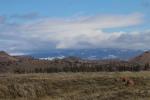
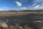
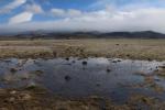
Thankfully, no matter how bad the conditions got in the storm, it was usually possible to head up to the Shasta Valley and get some sunshine. Granted, it rained there too, but Mount Shasta’s rainshadow kept most of the precipitation at bay. Nonetheless, the puddles, ponds and rivers were all full. This was a particularly welcome break on Wednesday, as the stormy weather persisted to the south. A quick trip north recharged the emotional batteries to help my kids and I ride out the remainder of the storm.
-
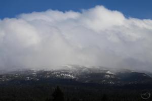
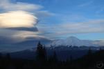
- The Goosenest is lost in storm clouds.
-
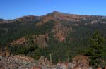
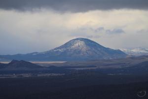
- Looking east toward Herd Peak and Sheep Rock.
-
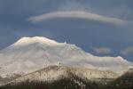
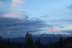
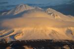
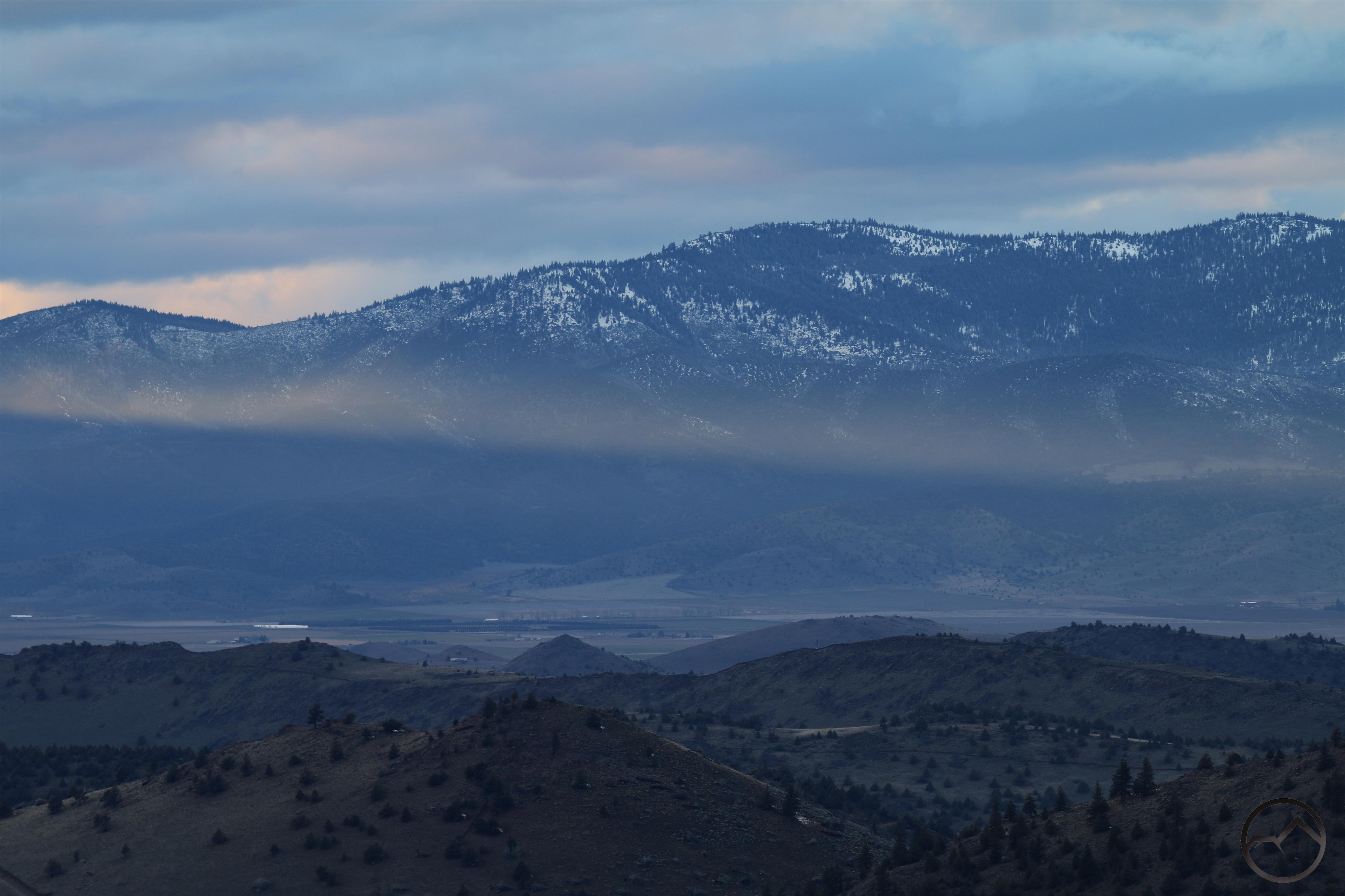
- Typical storm view of where Mount Shasta is normally visible.
This continued to be the case Thursday. The sky was cloudy but Mount Shasta was still visible from the north. While there. The valley looked gorgeous, ringed by snow-covered mountains. It was nice to see bare earth, not covered by feet of snow. I never tire of heading into the high desert of the Shasta Valley.
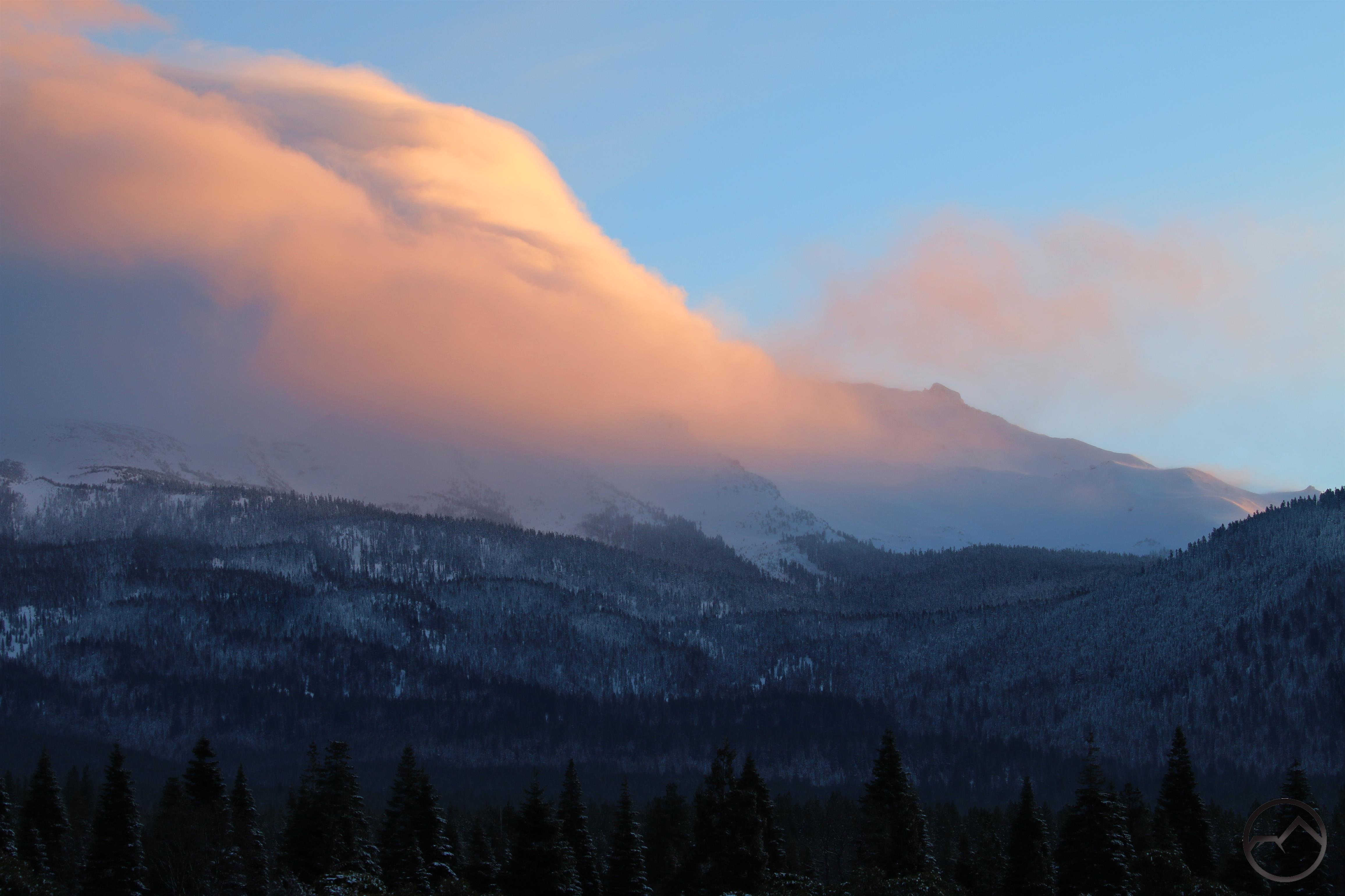
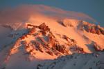
A beam from Thursday’s setting sun cuts across the Little Scott Mountains and the Shasta Valley.
The forecast is currently calling for some calmer weather that, while projected to be overcast at times, will be a nice break from the last week. With March left of the really wintry season to go, I think my family is officially getting cabin fever. Though the extended forecast is calling for a couple more weeks of precipitation, I am hoping the second half of March really dries out. May it be so. Amen.
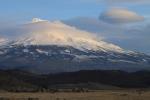
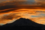
Though the clouds came back in during the afternoon but it was still possible to see the final sunset of February 2019.